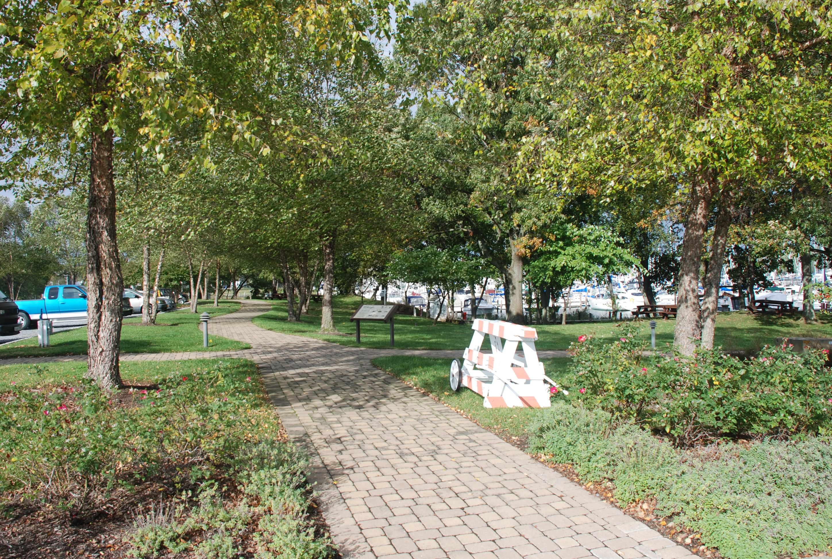
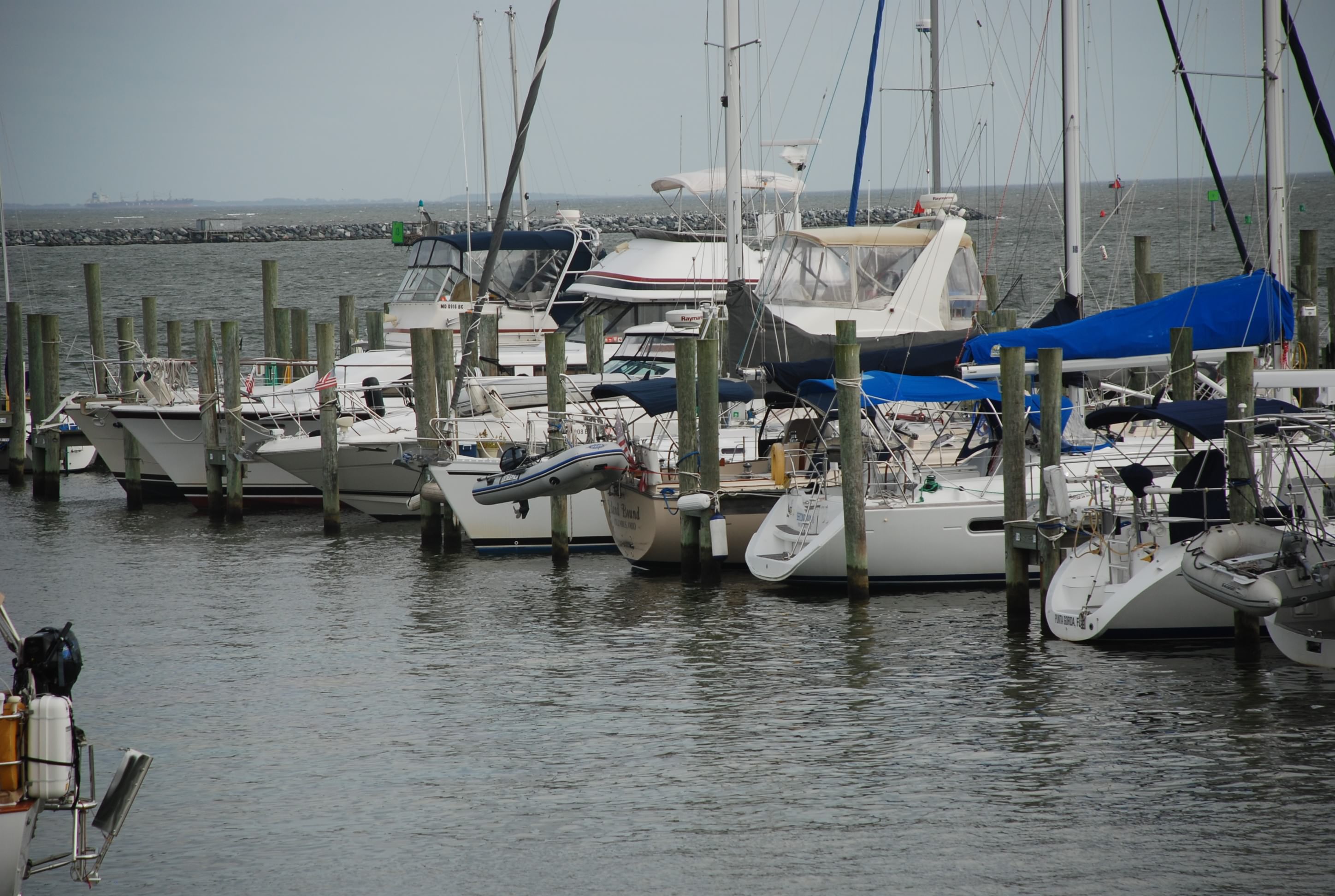
First day in the ICW

10/24/14
Coinjock NC, Itracoastal Waterway (ICW)
ICW Mile Marker 50
Position: 36 21.089N, 75 56.865W
Posted by Bill

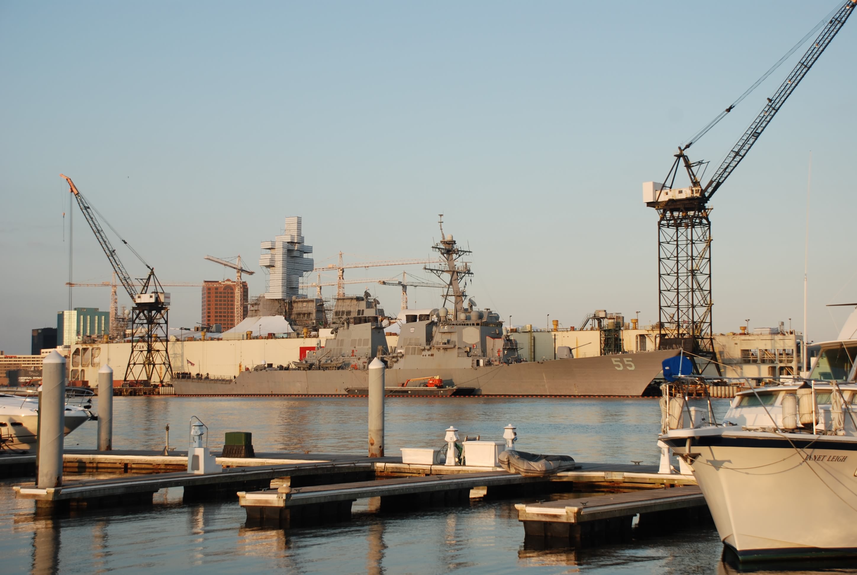
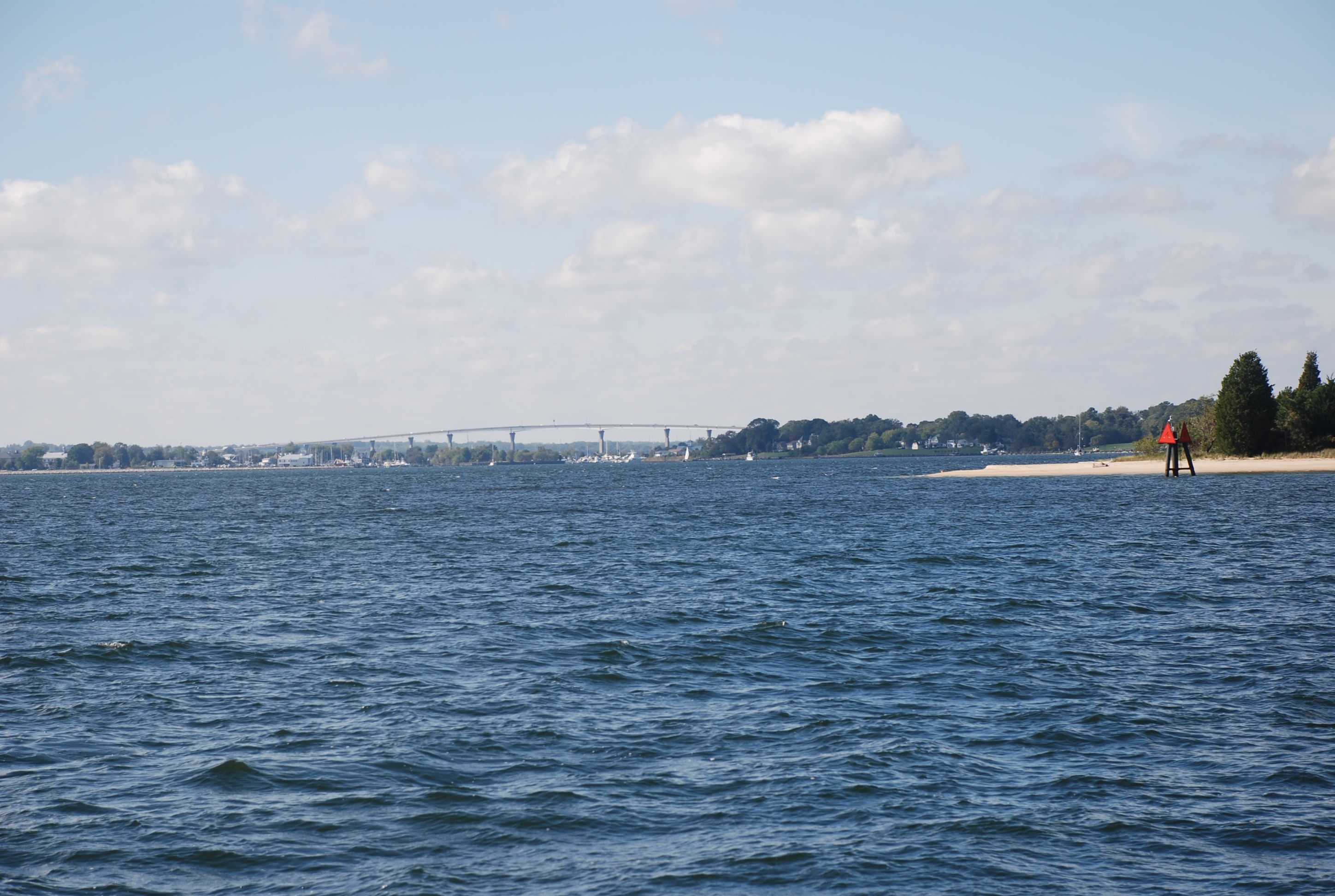
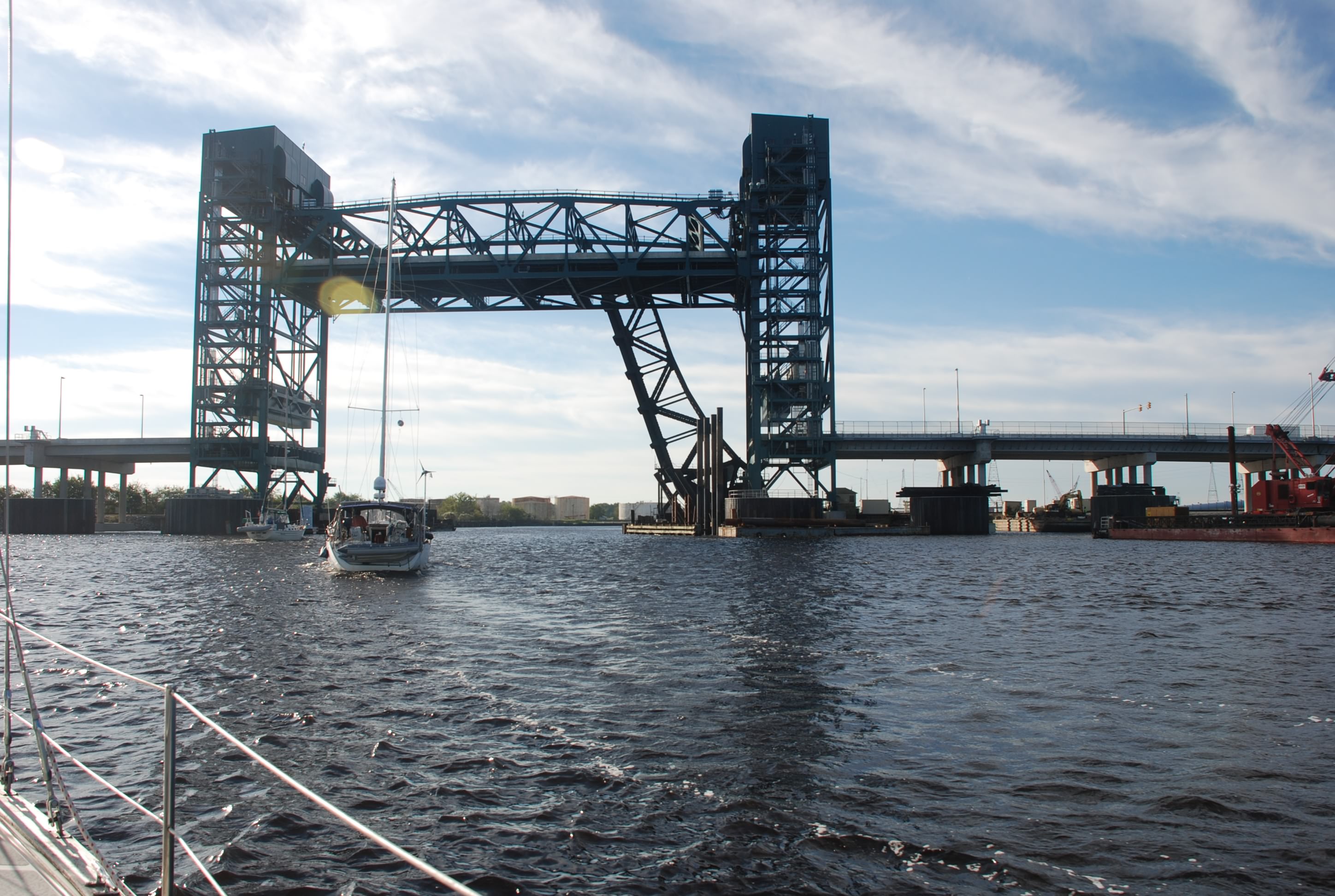
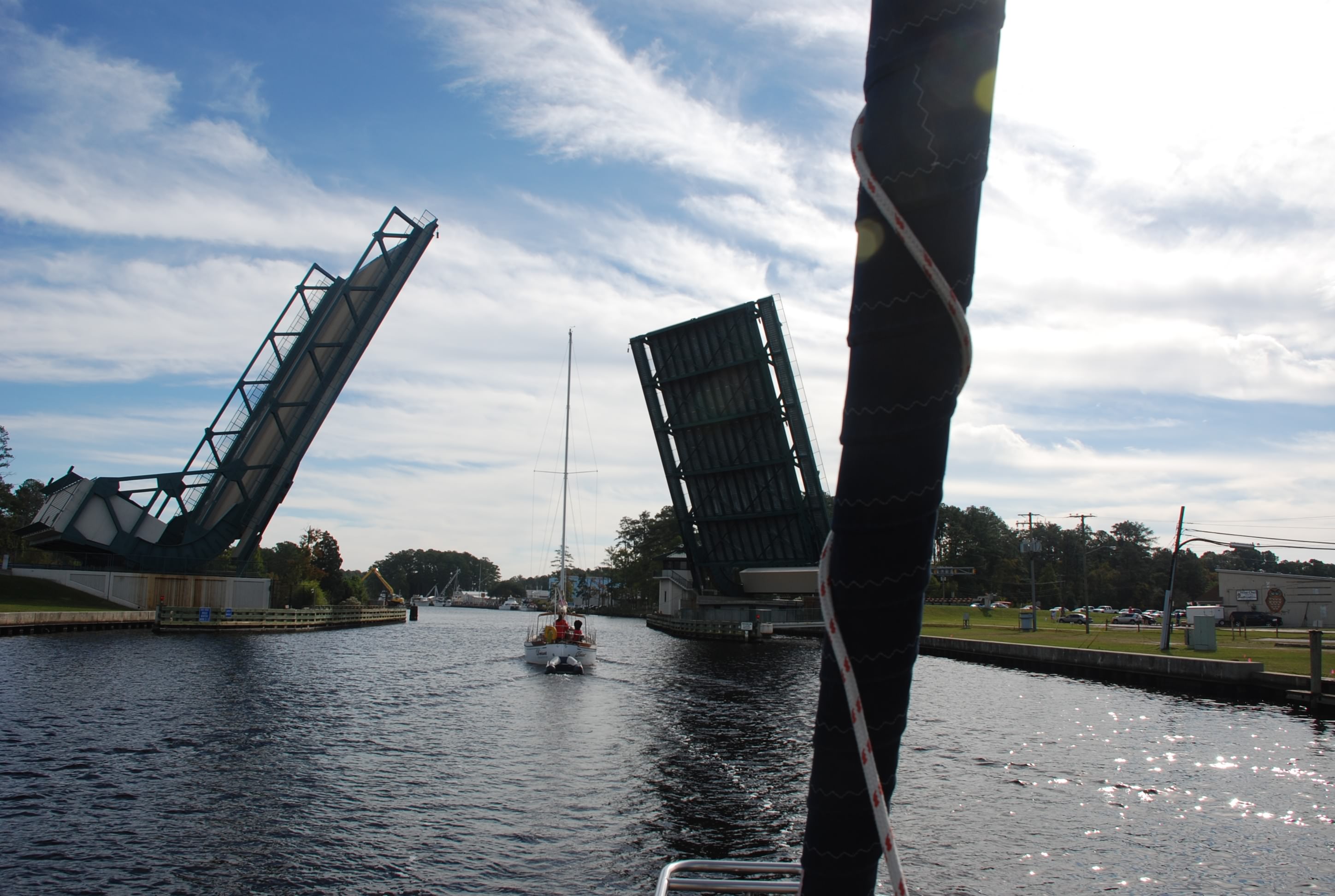
Today was our first day in the Intracoastal Waterway, from here on out abbreviated as ICW. We started early as we had to go 50 statute miles, through 5 draw bridges and a lock. The first part of the ICW was very industrial and busy with tugs, ships and naval craft. You can see the lift bridge in the picture. There are many bridges like this that lift up to let you go by. Most are train bridges and are normally left up.
DSC_0600

Then we came to the Great Bridge Lock. This lock is used to control the tidal level downstream and takes you down around 5 feet. Having done the Erie Canal, this lock was really lame! We couldn’t believe that it took 45 minutes to get through this lock. In the Waterford flight of 5 locks on the Erie Canal, we went through 3 locks in that amount of time. At least they helped you position the lines from your boat.

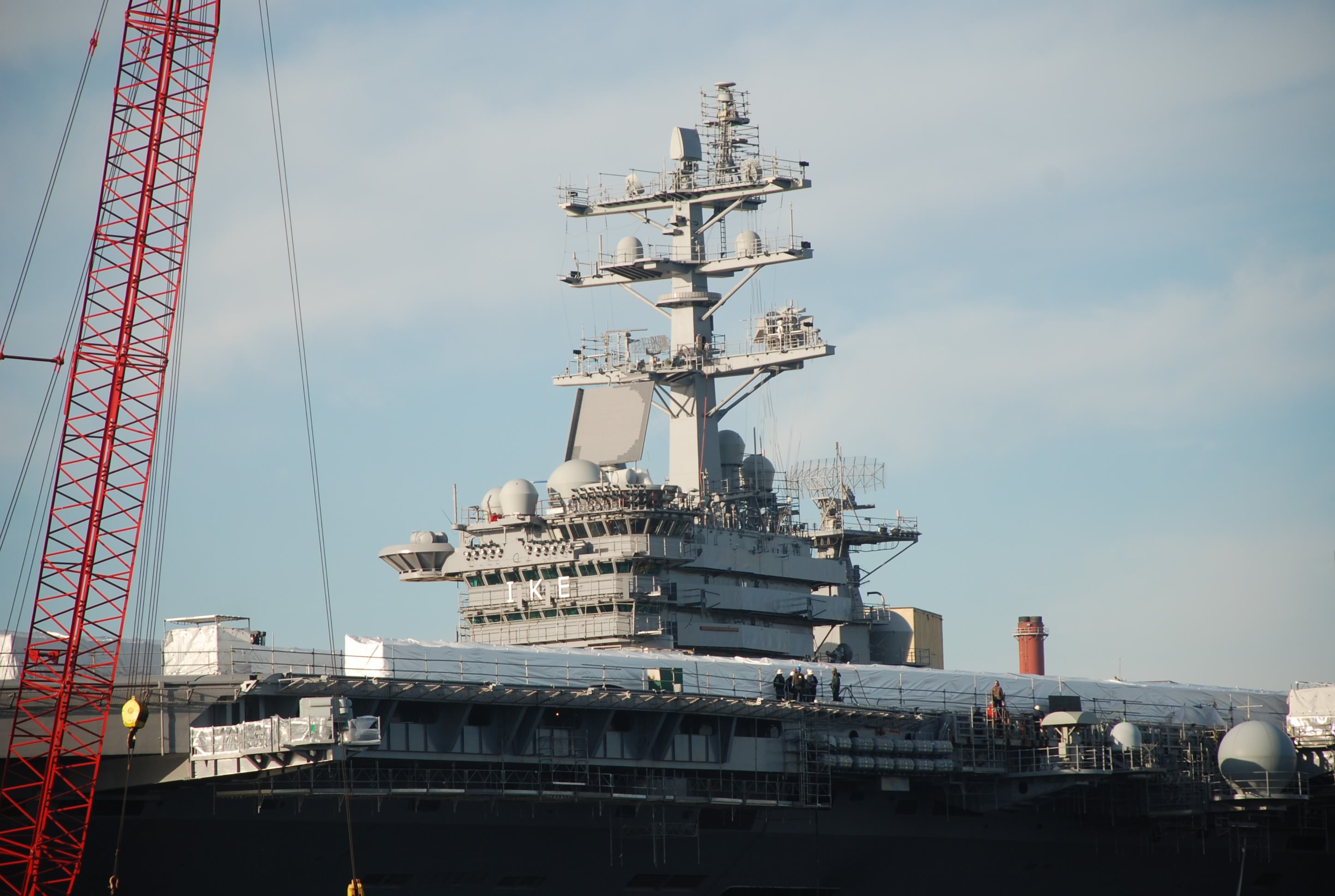
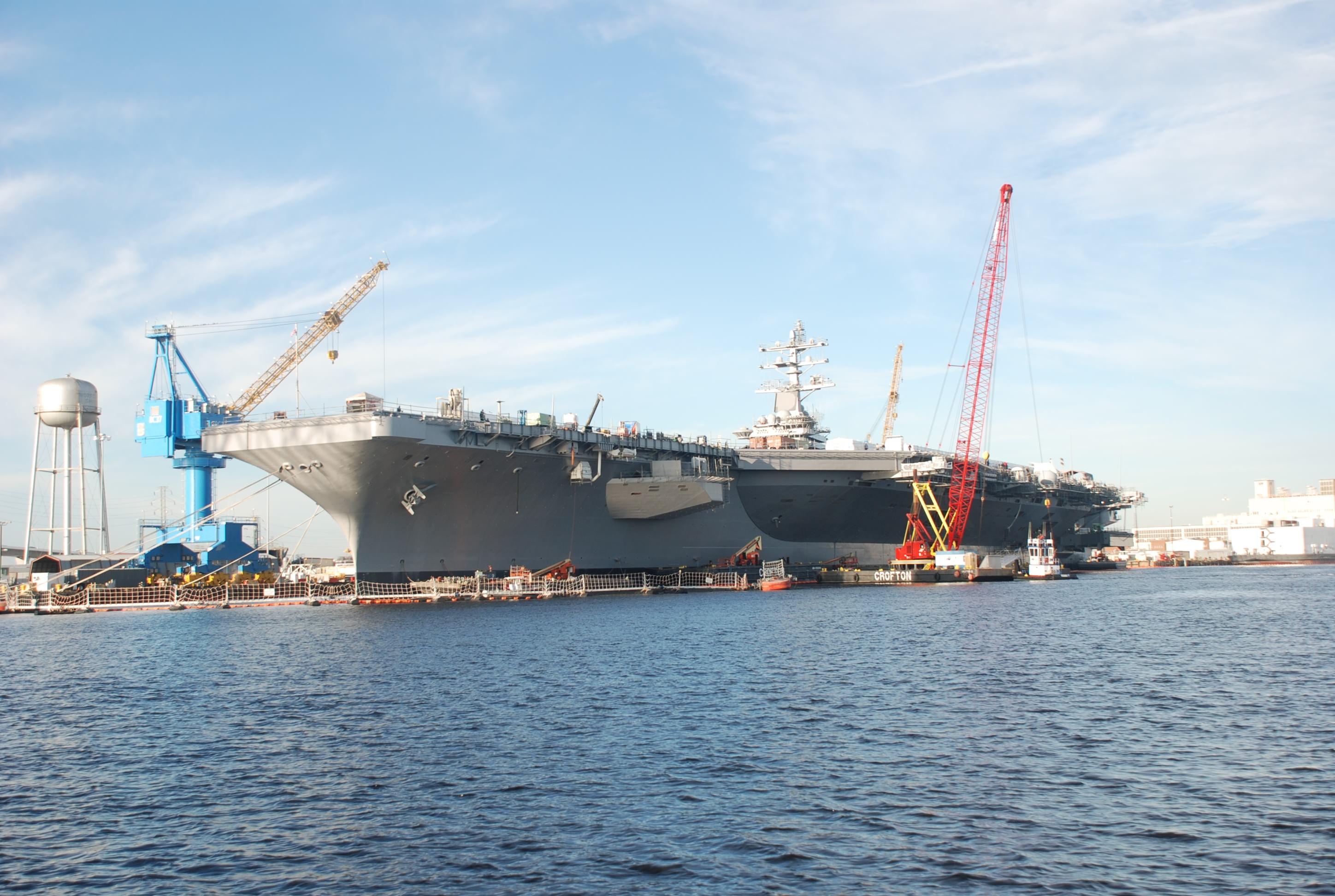
On the way to the lock we passed the USS Eisenhower aircraft carrier. It was impressive:
DSC_0578
DSC_0575

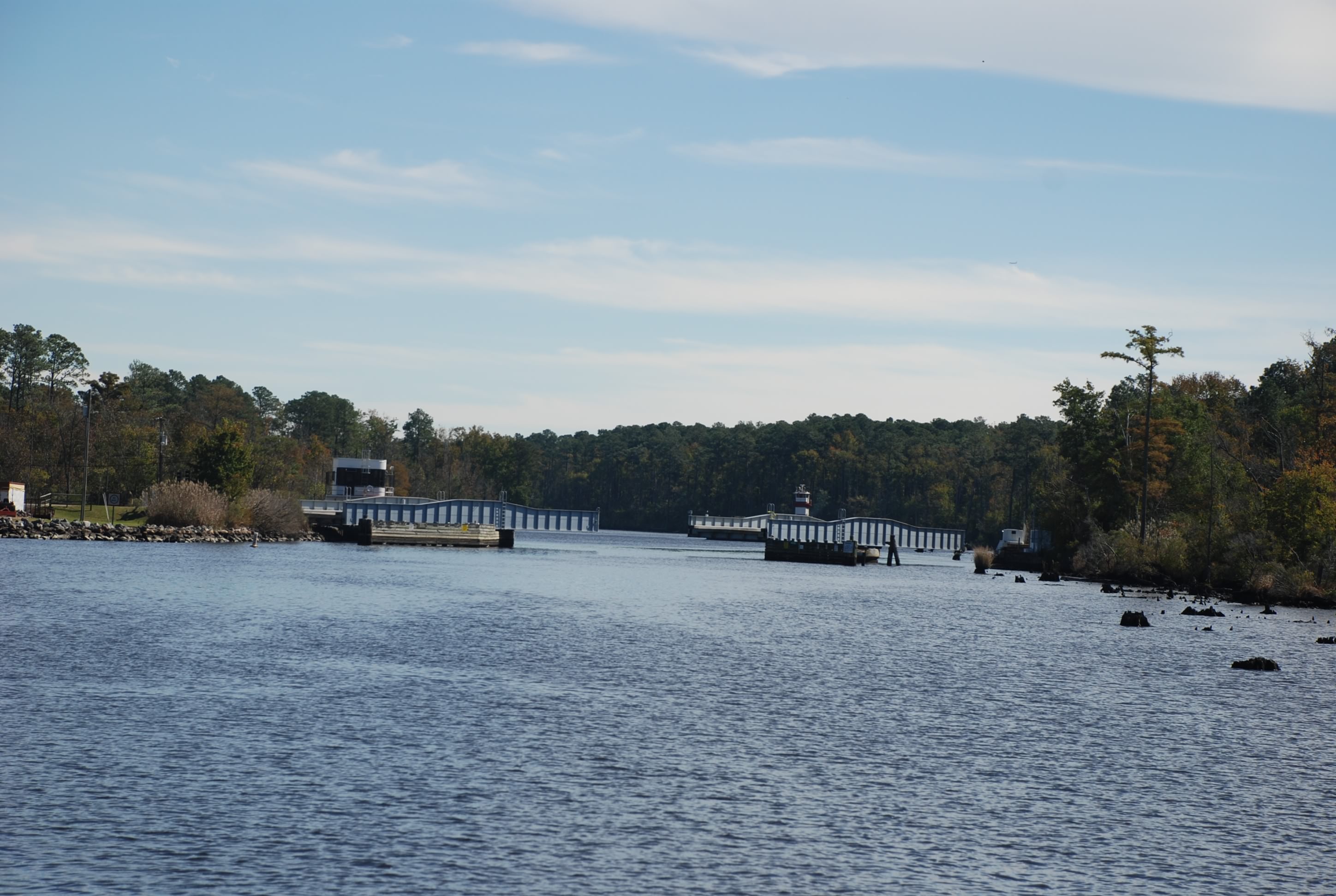
There were several other kinds of bridges including lift bridges that open at the center, and swing bridges:
DSC_0645
DSC_0673
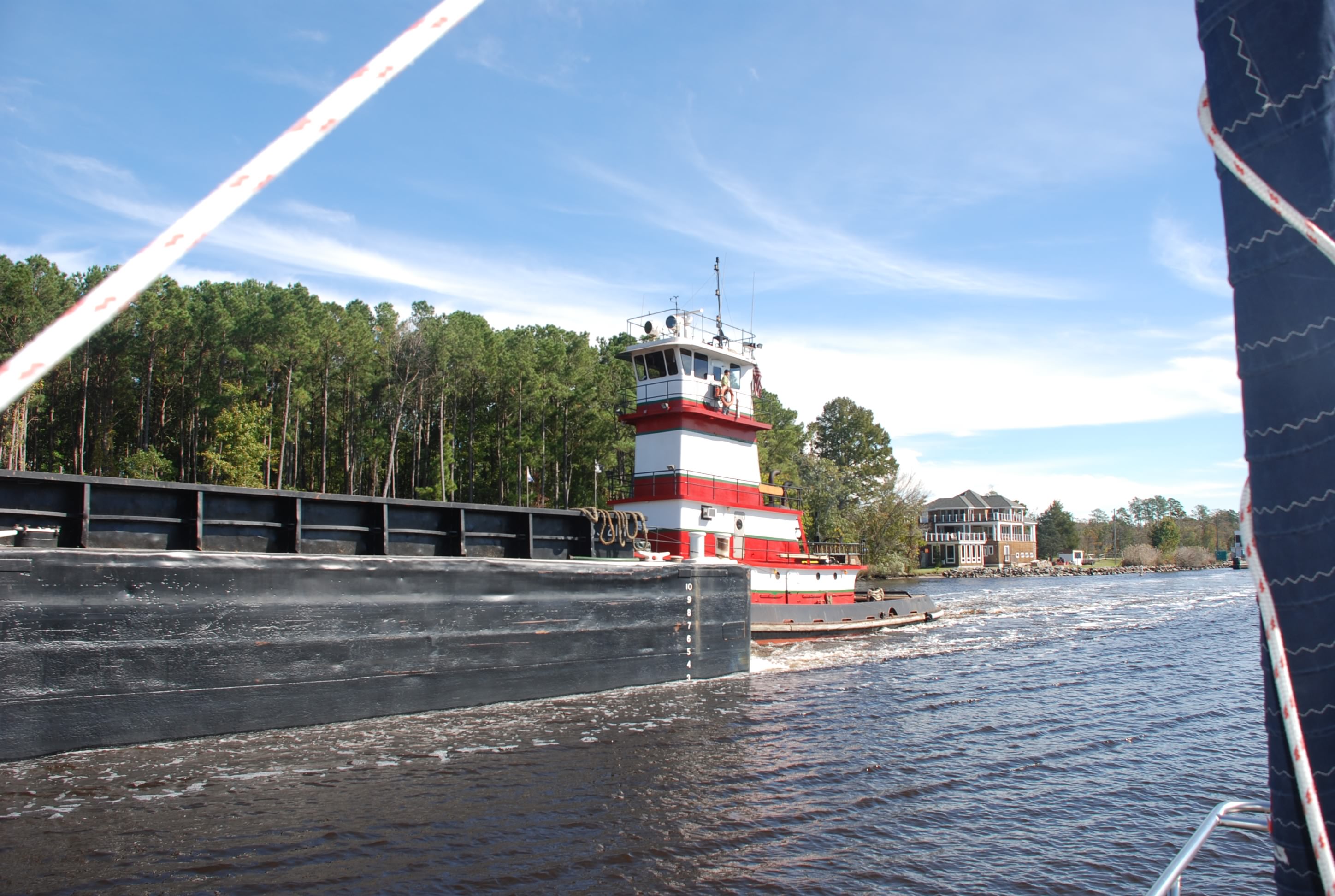
Most of the bridges and the lock operate on a restricted schedule, so you have to time your arrival or you can be waiting an hour for the next opening. At the one swing bridge a barge came through in the opposite direction and we had to wait until it passed us before we could go through. We had to move over to the side of the of the channel and hold our position to let him through. It was not easy with the winds.
DSC_0685
Especially difficult because at the edges of the channel there are stumps and submerged obstructions.
DSC_0676
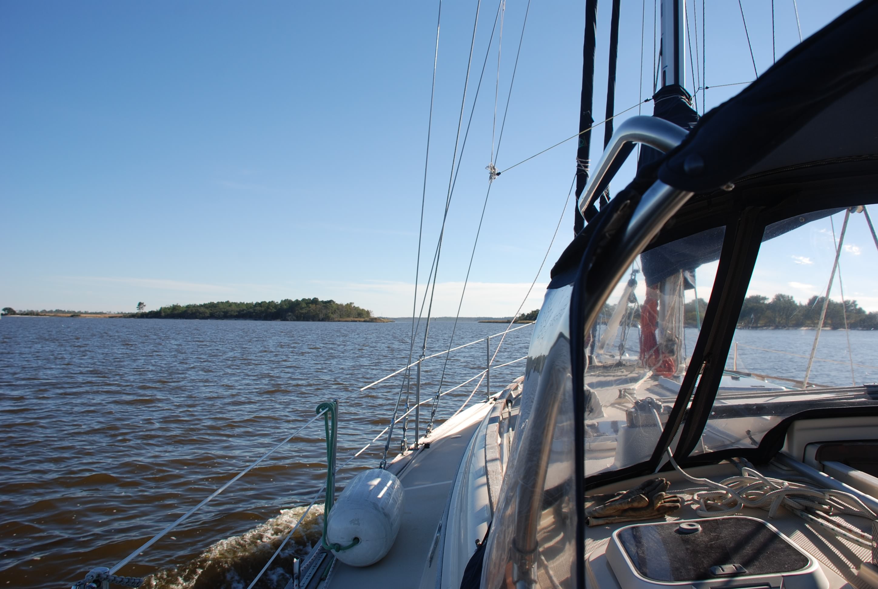
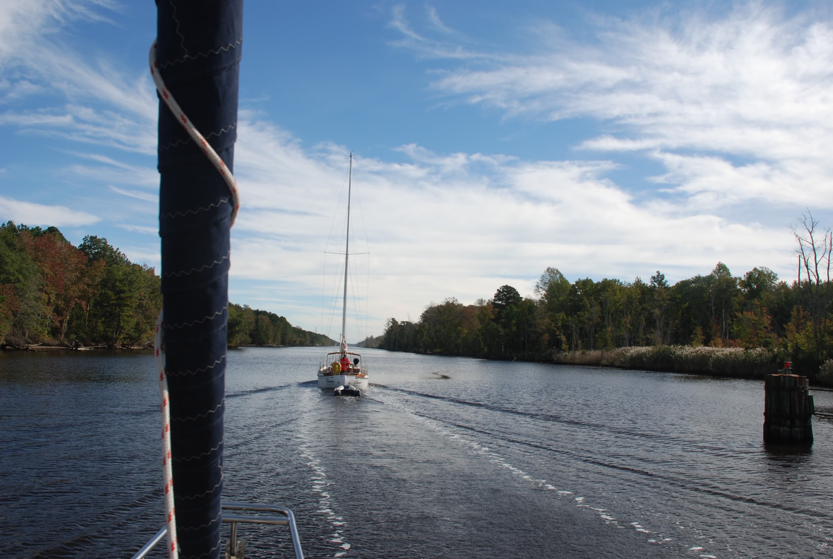
It took a lot of concentration all day to navigate the waters. It reminded us of the Erie Canal once we got out of the industrial section.
DSC_0668
DSC_0716

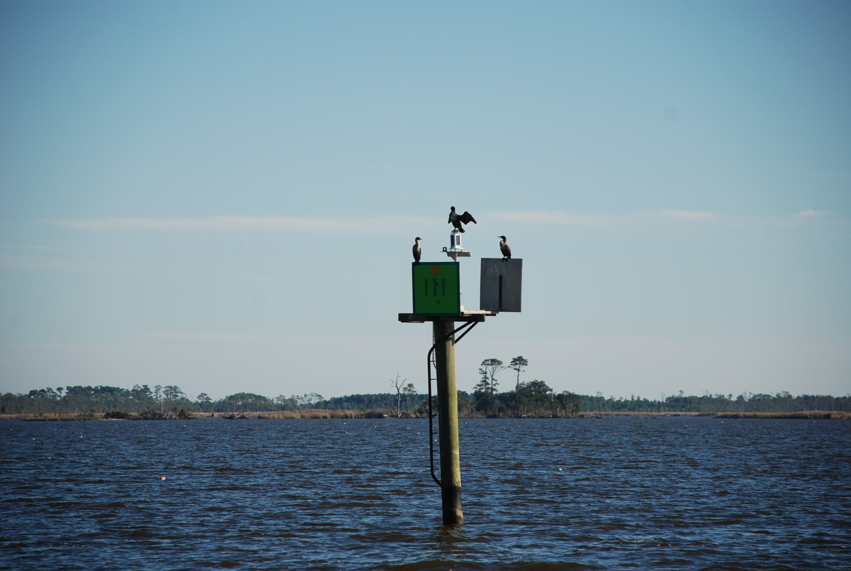
We saw lots of birds. These cormorants (at least we think that is what they are) were doing this weird pose with their wings open. Not sure what their deal was.
DSC_0713

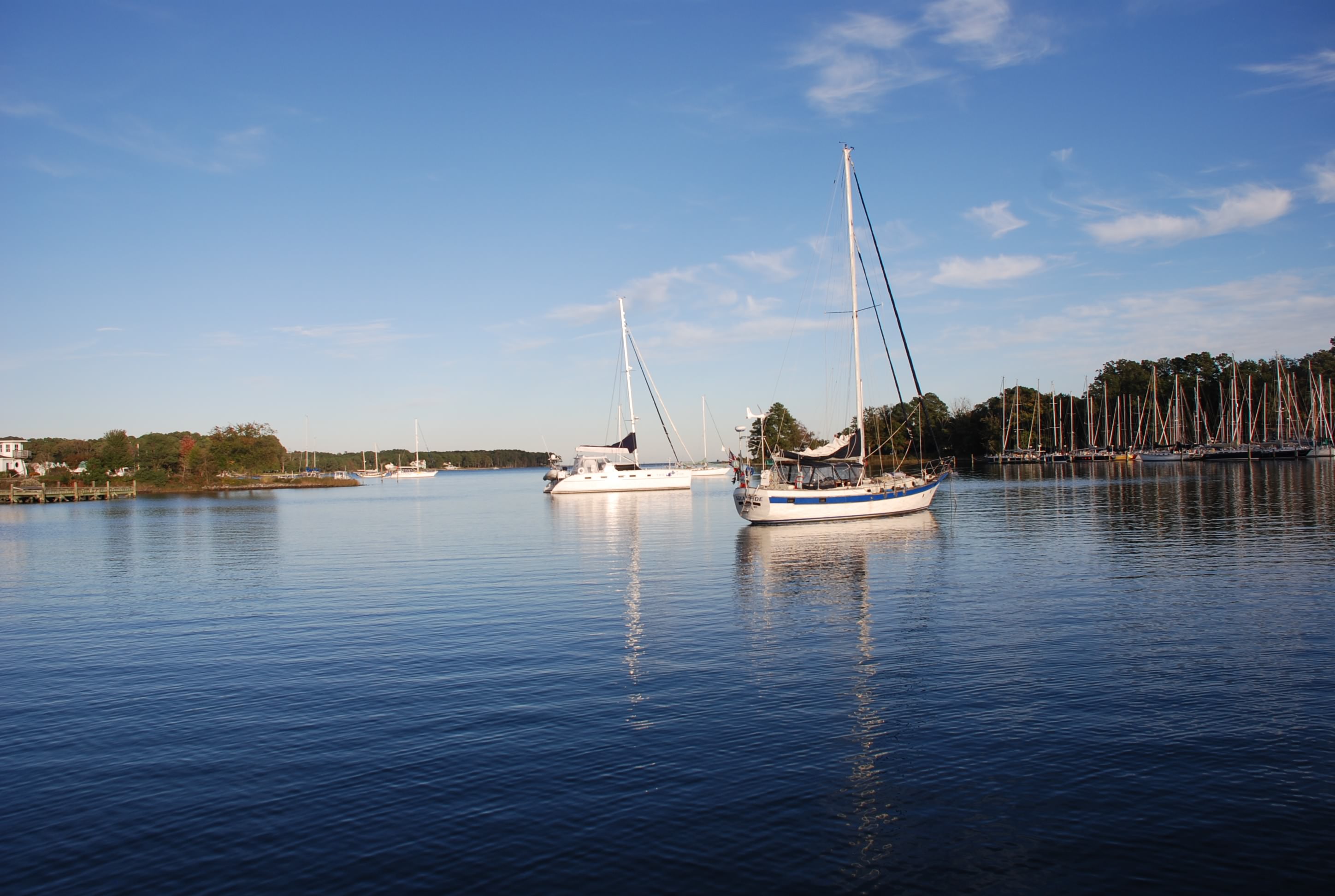
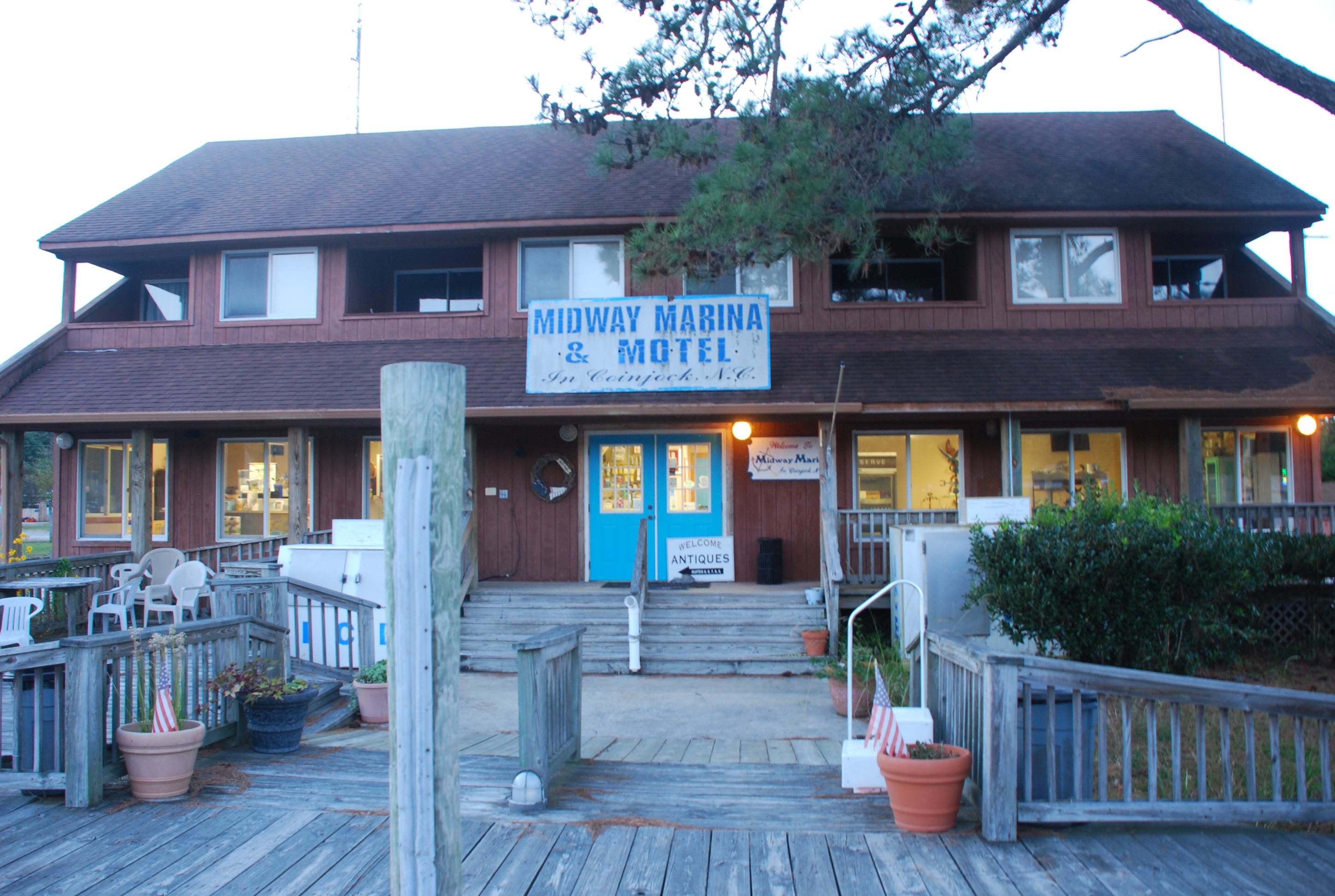
We made it to North Carolina and stopped in a remote area called Coinjock, staying at the Midway Marina and Motel.
DSC_0747
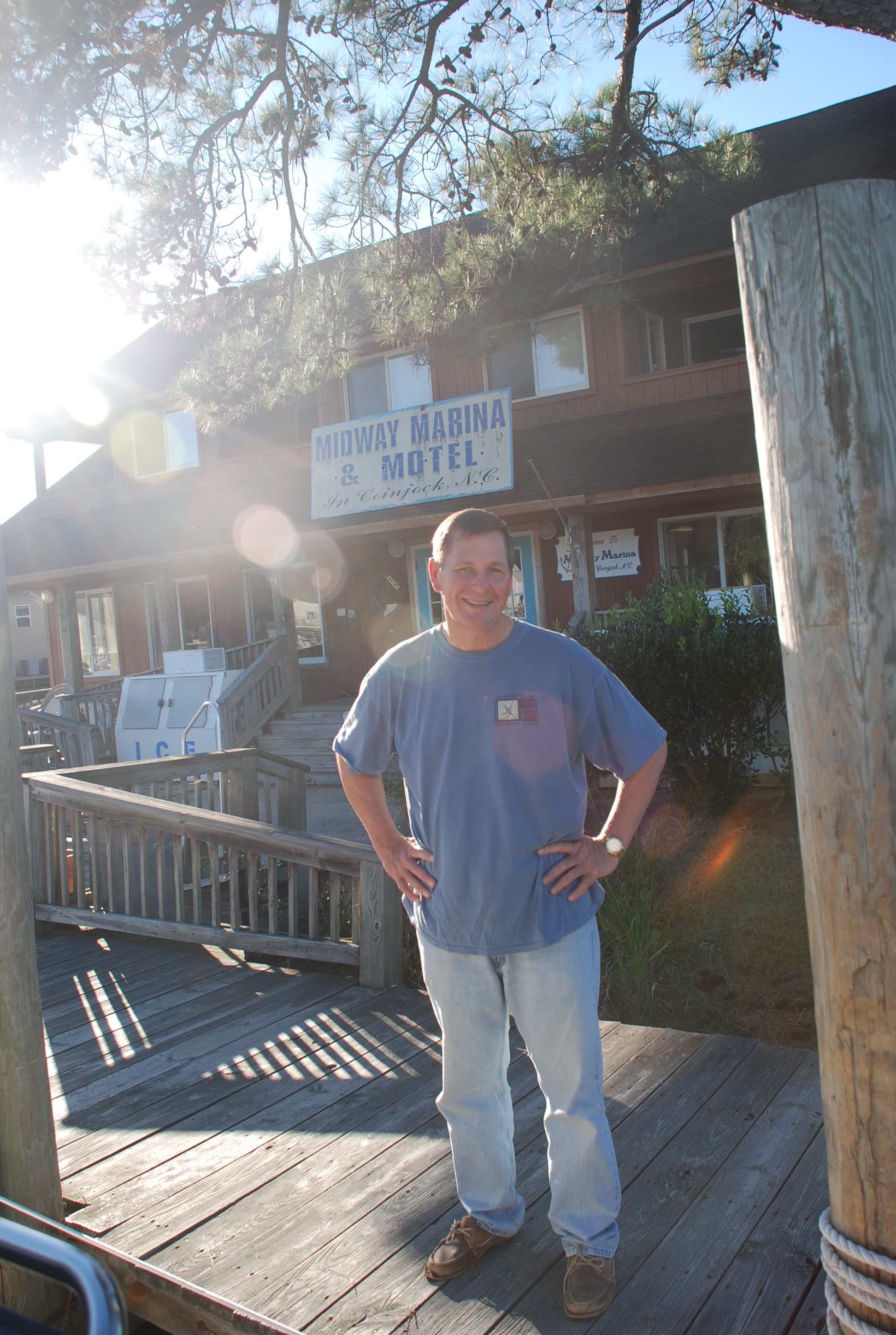
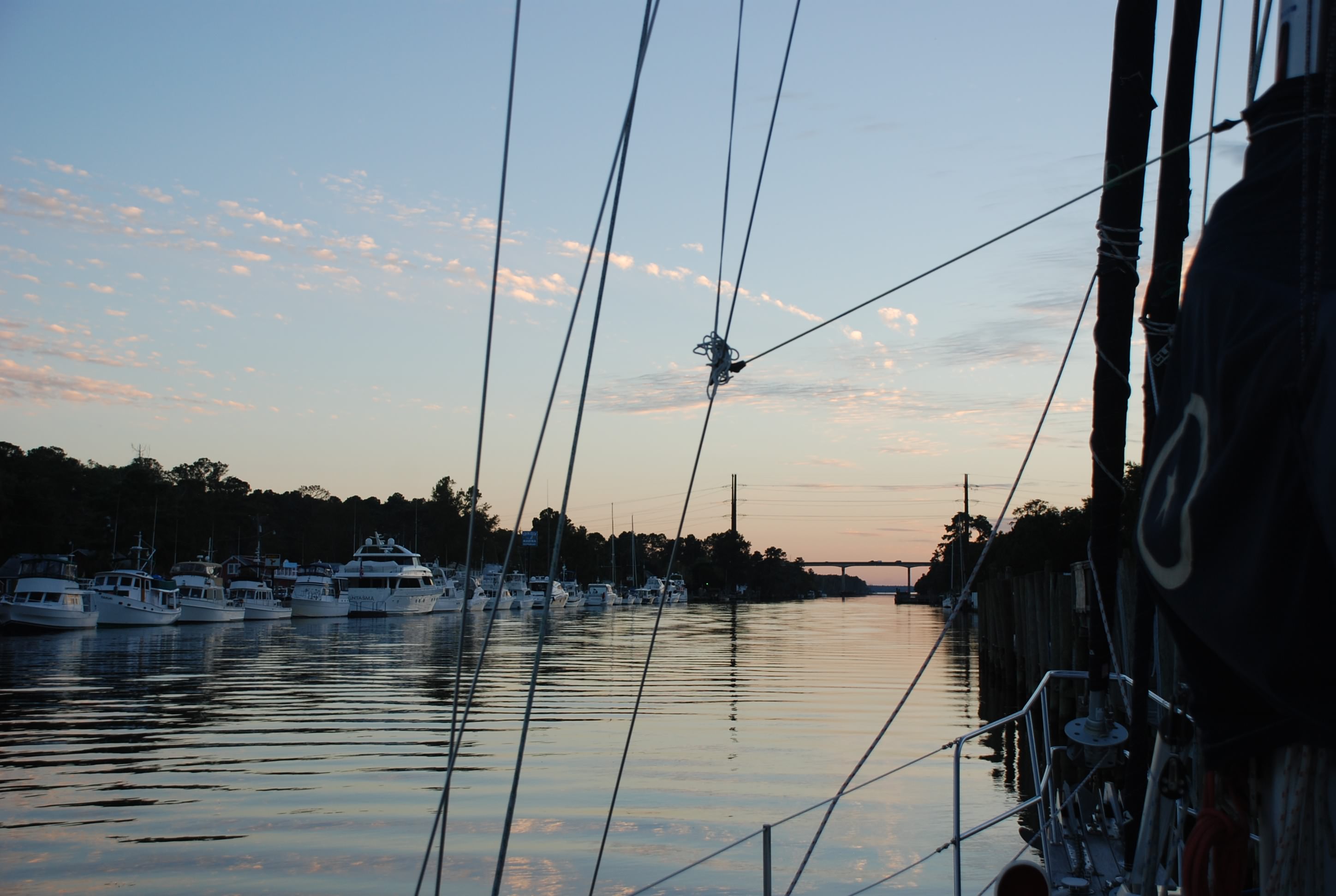
Tricia called it the “Bates Marina and Motel” and was on the lookout for Norman and his mother. I called the whole area “Deliverance County”. The people were nice as can be and we had a really good dinner at the marina. Pic of Coinjock marina across the river:
DSC_0737
Me, on the lookout for Norman:
DSC_0735

We were exhausted from the trip and passed out after dinner, so I didn’t get the blog done until today. In the middle of the night our boat lurched and it sounded like someone jumped on board. I woke up, jumped out of bed…ready to kick some ass…and it was a damned tug boat blasting by. They threw a huge wake that slammed the boat against the dock. Wish I could have given them a piece of my mind.

Boat name of the day: Leaping Ground Hog
WTF!!! Who comes up with a name for boat like that? It has absolutely nothing to do with boats or boating or anything else that is normal. We heard them contact a bridge operator and the conversation went like this:

Boat:”Turnpike swing bridge…this is Leaping Ground Hog.”
Bridge:”This is Turnpike swing bridge…go ahead Sleeping Ground Hog.”
Boat:”NO…it’s Leaping Ground Hog…like jumping.”
Bridge:”OK Sleeping Ground Hog…we’ll have the bridge open in a few minutes.”
Exploring Portsmouth – Day 2

10/23/14
Portsmouth, VA
Posted by Bill

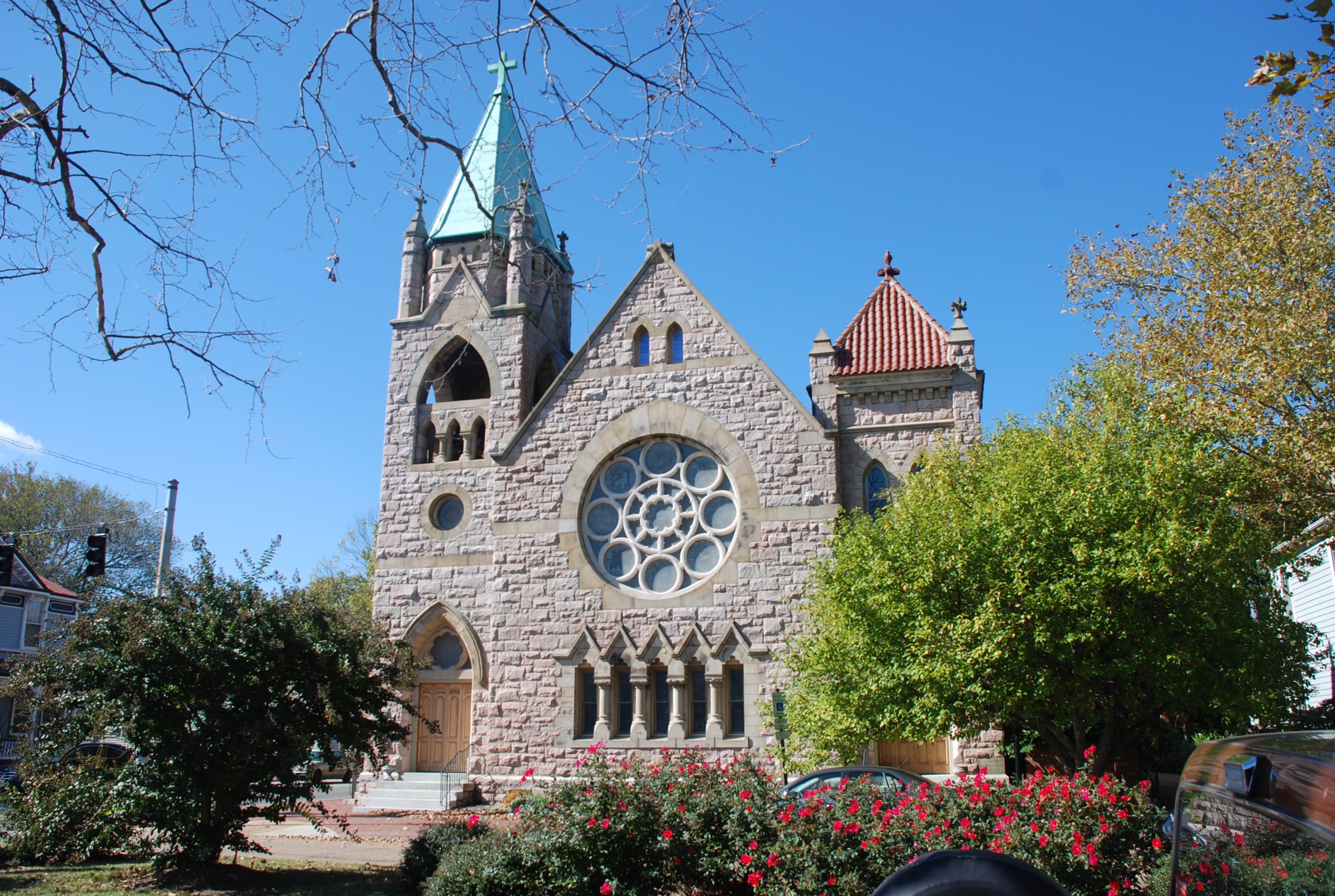
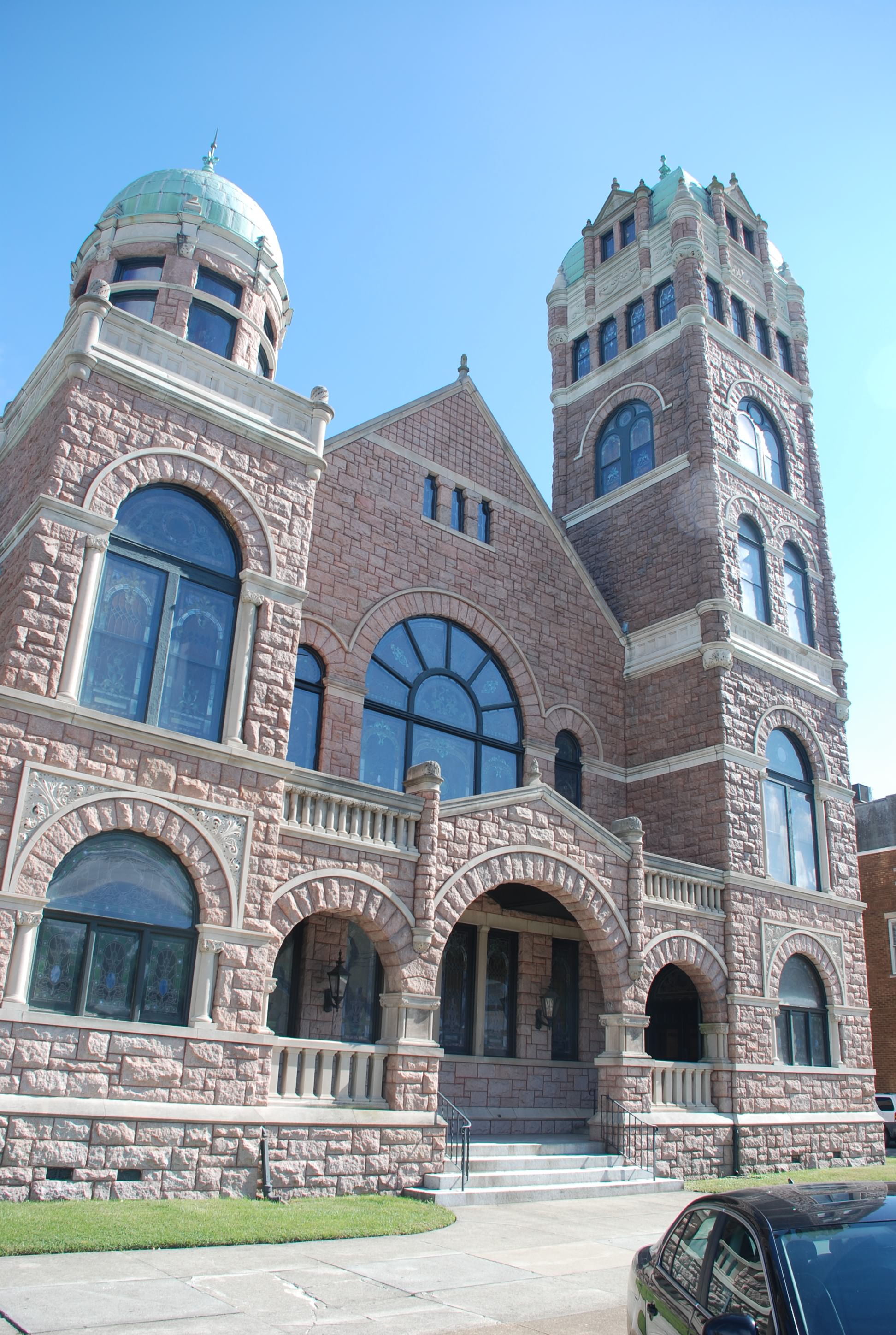
The weather continued to dish out excessive winds so we decided to stay another day. We walked around Portsmouth checking out the historic Olde Towne area. Many of the homes date back to the 17 and 1800s. It was pretty cool. Several homes were actually something other than a house when they were built…like a tavern, hospital, military HQ, etc… We are not normally history buffs, but we did a walking tour and checked out area. There were also several really beautiful churches. Pics of the Olde Towne area:
DSC_0562
DSC_0545
DSC_0546
DSC_0547

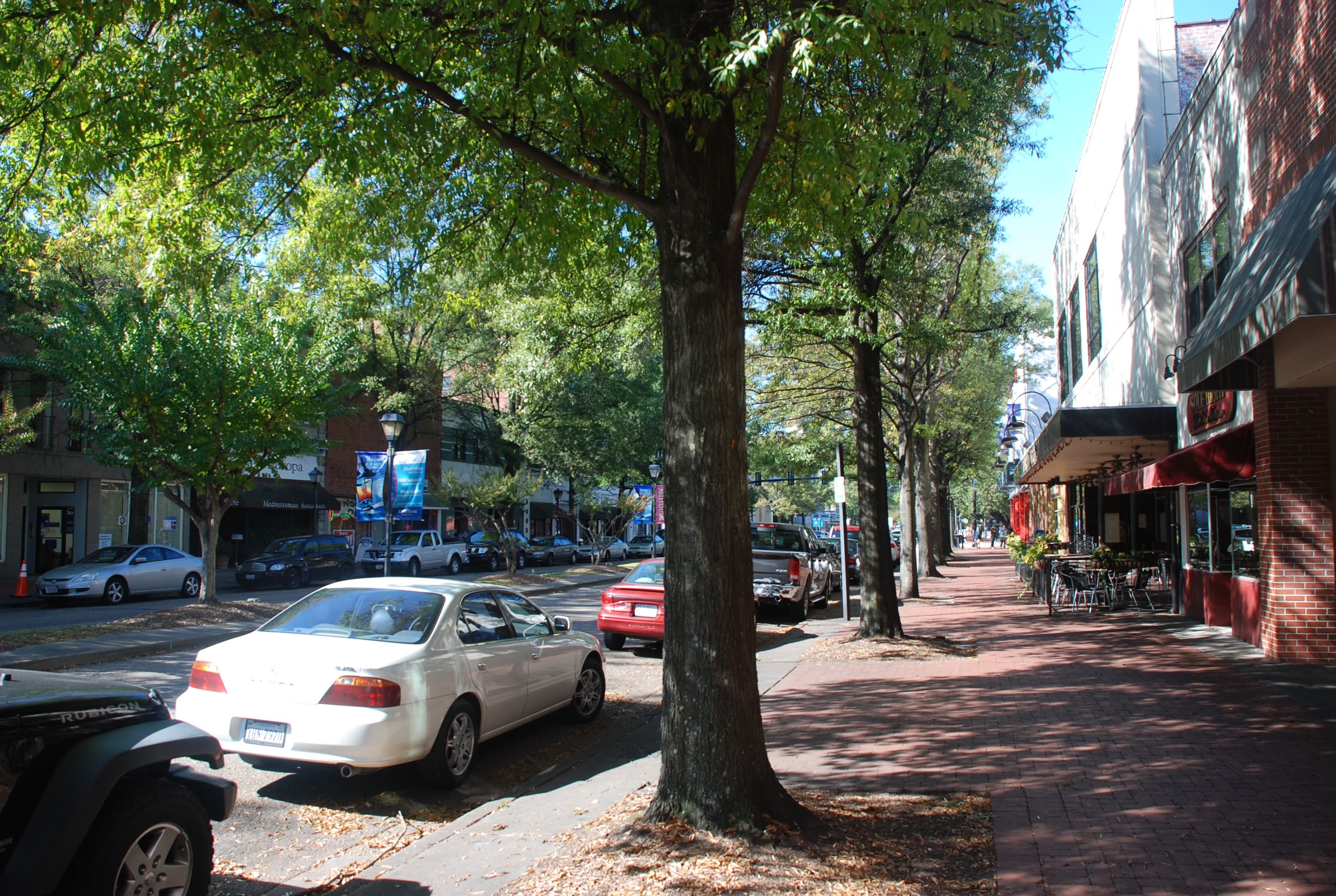
Here is a picture of High Street where most of the restaurants, art galleries and museums are. It reminded us of St Petersburgh, FL:
DSC_0539

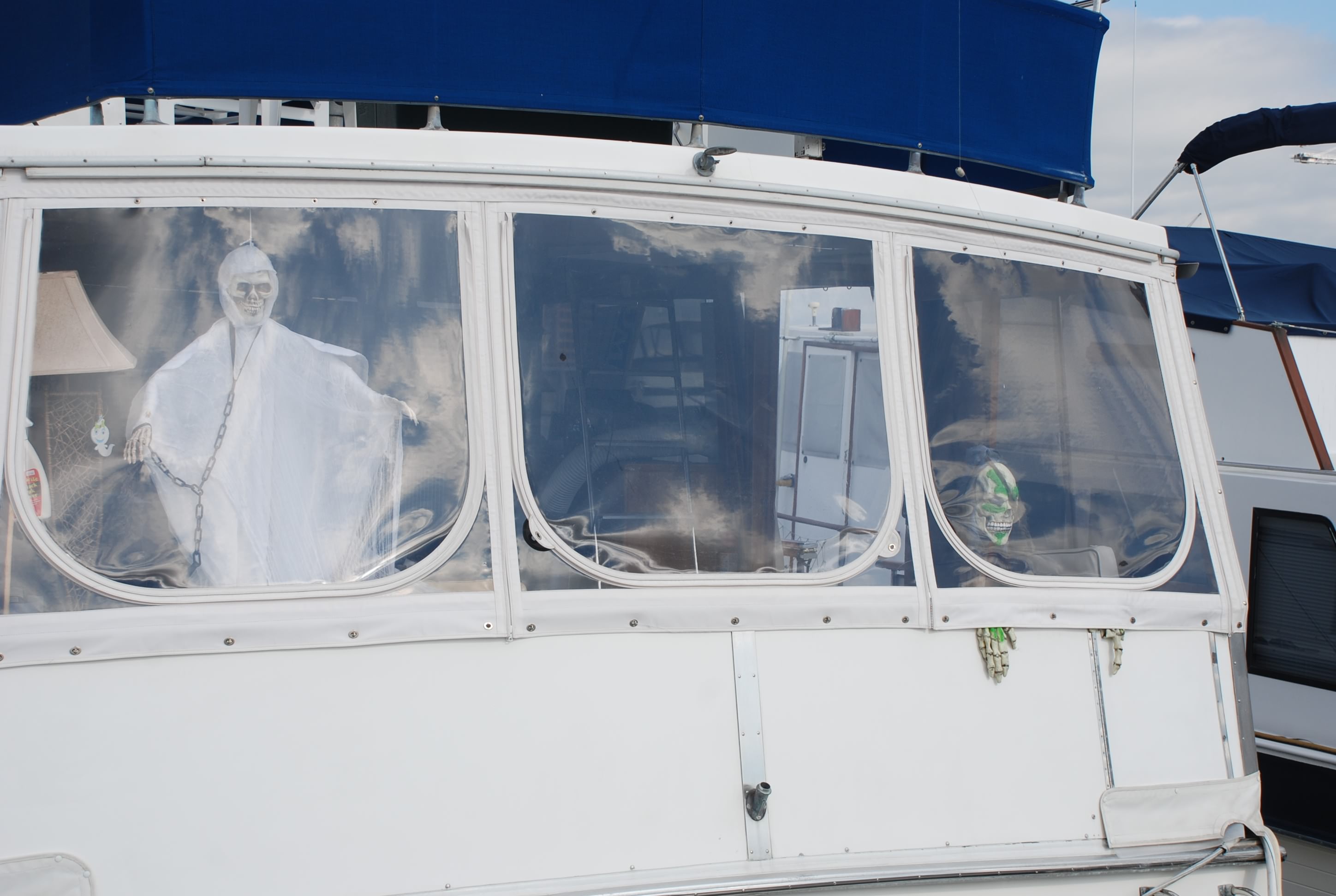
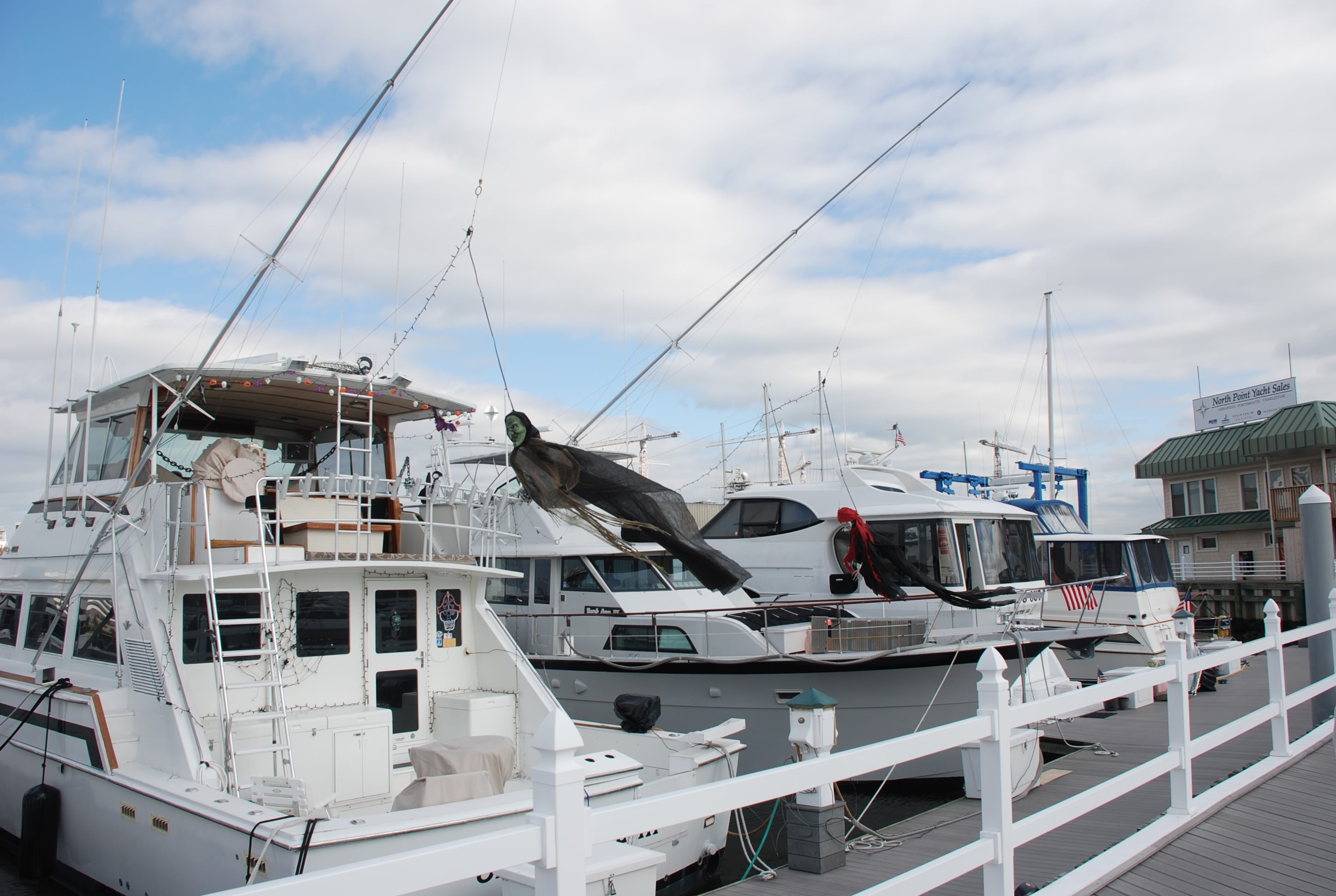
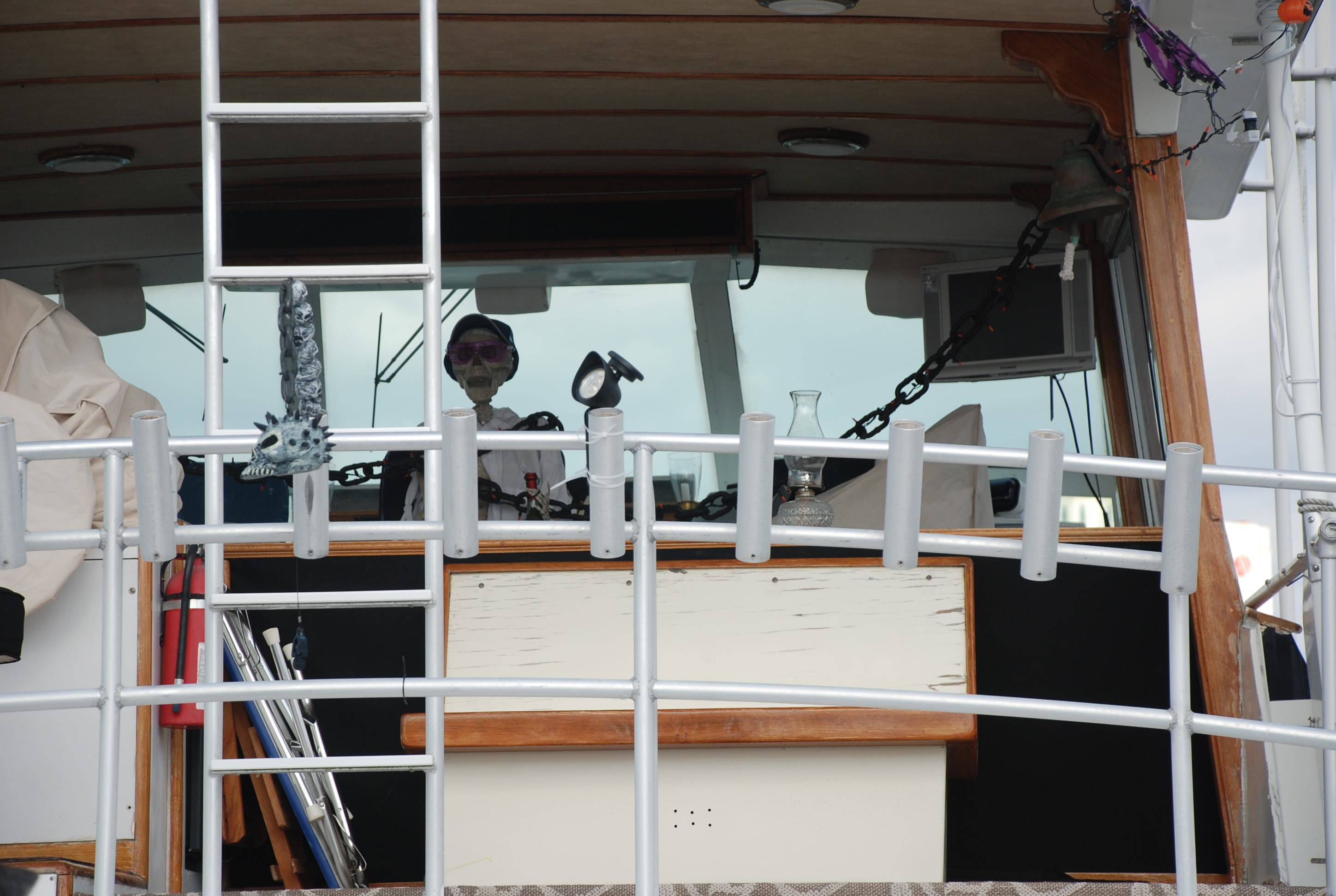
We walked down to the other main marina in Portsmouth and had a drink at thier restaurant. While walking the docks we saw some of the boats that had decorated for Halloween:
DSC_0557
DSC_0559
DSC_0560

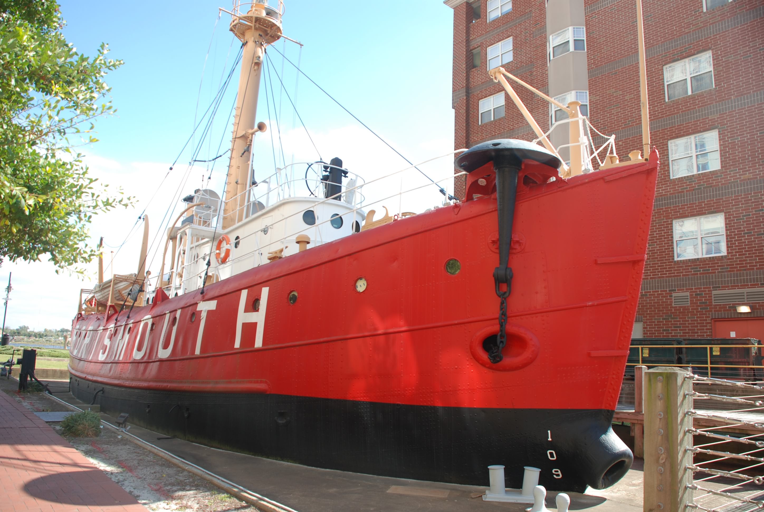
Then there was a lightship that was made into a museum. We didn’t know this, but before there were lighted buoys and fixed navigational aids on the water, ships called light ships were anchored in the key navigational areas to guide mariners. They were manned by a person for months at a time…I can’t imagine having that job! This is the light ship Portsmouth:
DSC_0552

Here is the ferry that took us over to Norfolk yesterday:
DSC_0561

We really had fun in Portsmouth and Norfolk and it was nice that you could stay in one place and visit 2 major port cities. If you ever go to Portsmouth you need to check out Gosport Tavern. We ate there twice and it was totally awesome both times!

Getting blown away in Portsmouth

10/22/14
Portsmouth VA, Ocean Marine Yacht Center, Elizabeth River
ICW Mile Marker 0
Posted by Bill

Our first full day in Portsmouth, and it was a good one despite the weather. We had some rain and lots of wind. It blew close to 30 knots in the Elizabeth River where we are tied up in a marina. It blew over 40 knots on the bay. Glad we paid for a marina today!

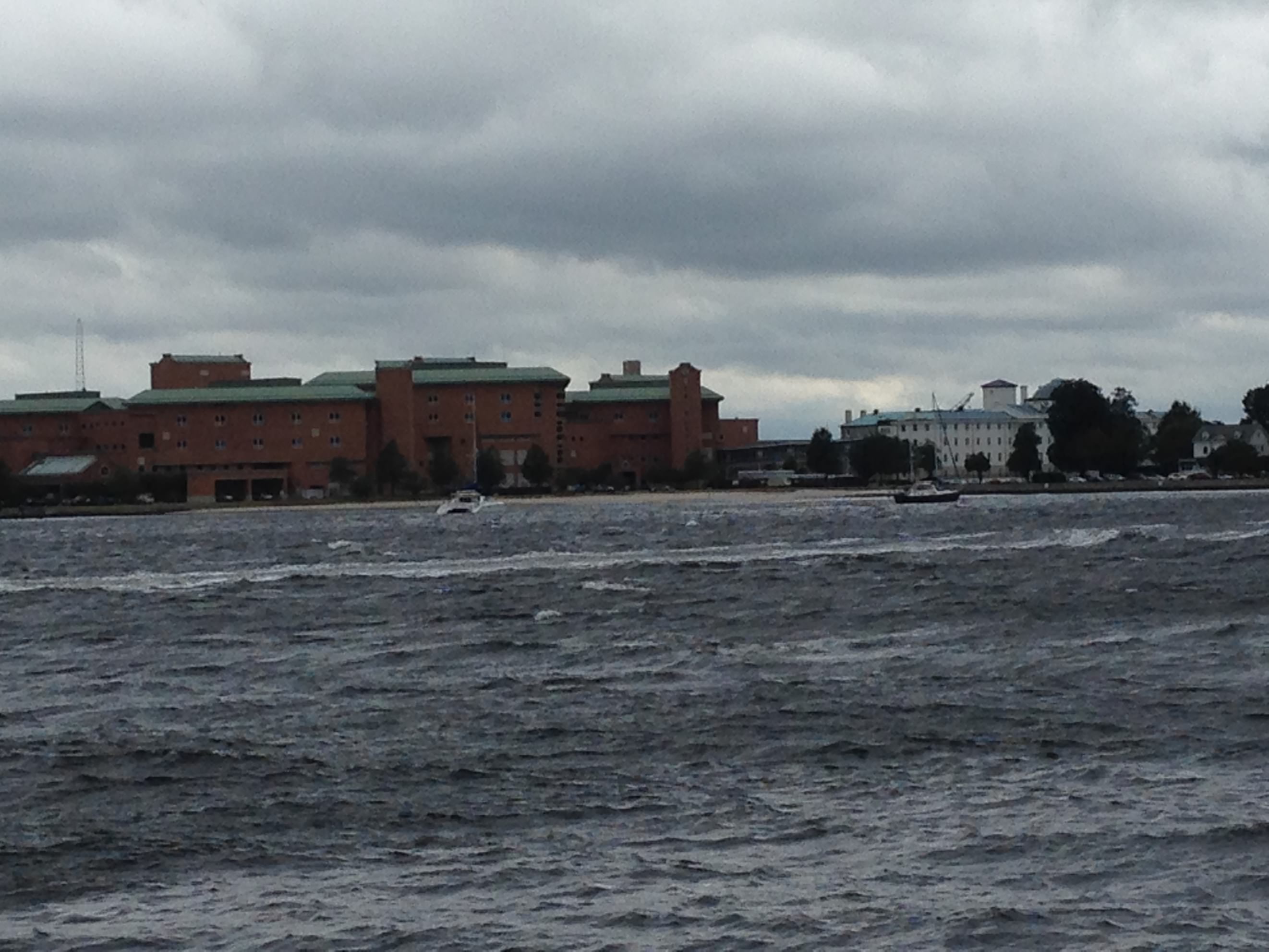
There is a popular anchorage just south of a spot called Hospital Point. It is usually packed. Today, only a few boats. I was glad I was not anchored there today. They were getting the shit kicked out of them as there were 5-6 foot waves on the river at one point. Here is what it looked like at mid day:
photo 2014 10 22 2
This is in an anchorage! Not fun to ride out in all day and night. These winds aren’t going to abate until mid day Friday.

We paid for a day pass on the ferry to Norfolk and went for some breakfast. D’egg Diner is where we went and then walked to the mall…I know, we hate malls…haven’t been to a mall in forever. Trouble is, I ripped my work pants (also called passage pants – pants I don’t care about so I wear them to work or on passage – passage is rough on pants), and one of my 2 pairs of levis, so I needed some pants. We found clearance items and were glad! The mall was packed with a butt load of German speaking people and we wondered…is there a large German community here? After checking with store clerks we learned that a European cruise ship was in port with a bunch of Krauts. Let me tell you…they wear weird shoes, and they spend a lot of money on stupid crap.

Afterwards we had laundry day. The laundry facilities at our marina where nice and pretty cheap as laundromats go. Then happy hour on the boat (one of my favorite parts of the day), and took the ferry to Norfolk again for a great lobster dinner at Freemasons Abbey. It was an old church that they converted into a restaurant. Good stuff and a cool building.

On the way to dinner we saw this large boat docked on the Norfolk side that was from Middle Bass Island in Lake Erie. No one was home, so on the way back to the ferry we checked again, and sure enough they were there. We struck up a conversation, they invited us aboard, and we made new friends. They have a 48 foot power boat called Fruition, and are spending the winter in Myrtle Beach. It was a nice boat and they were nice people. We’ll look for them again as we head south.

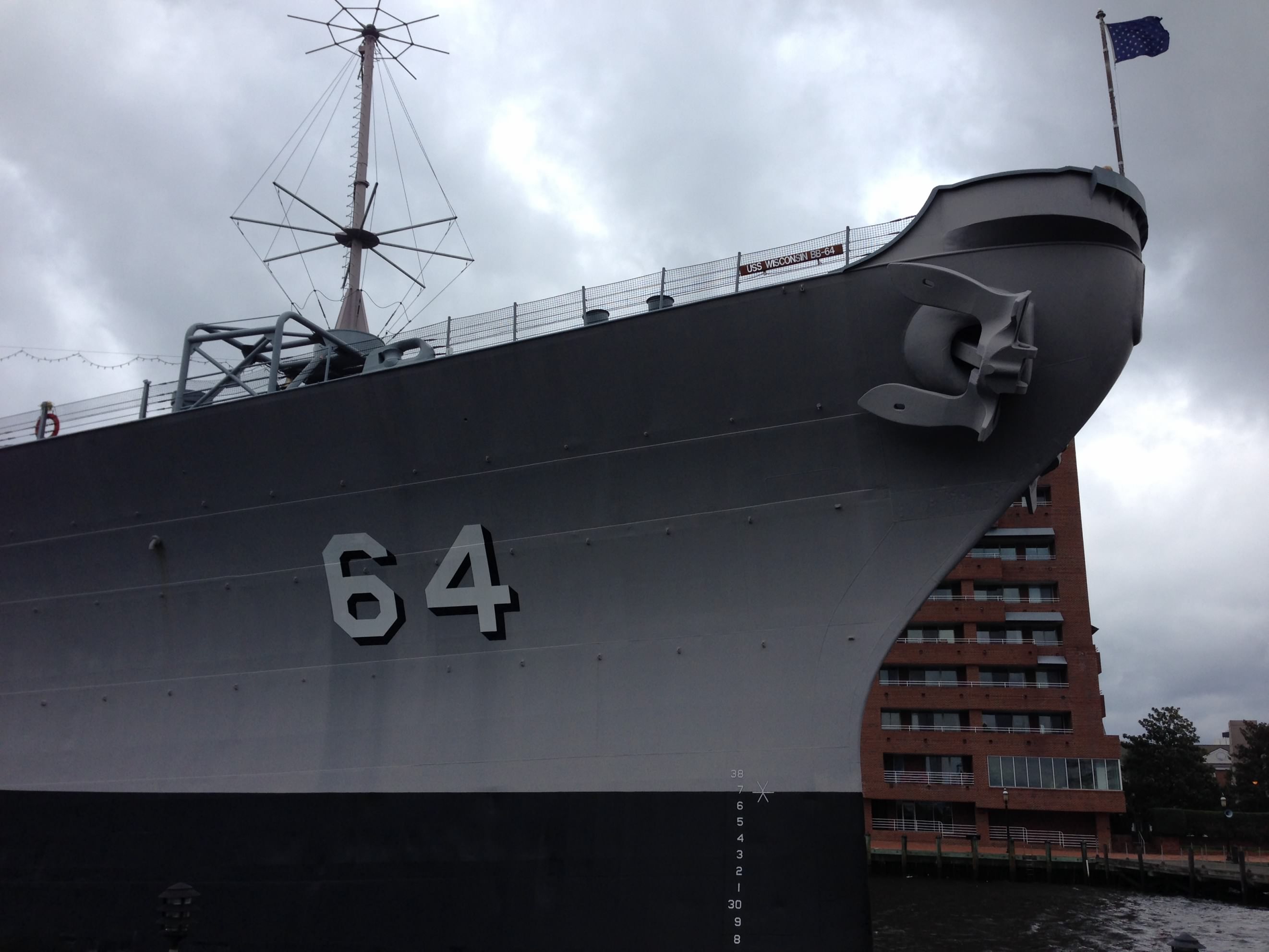
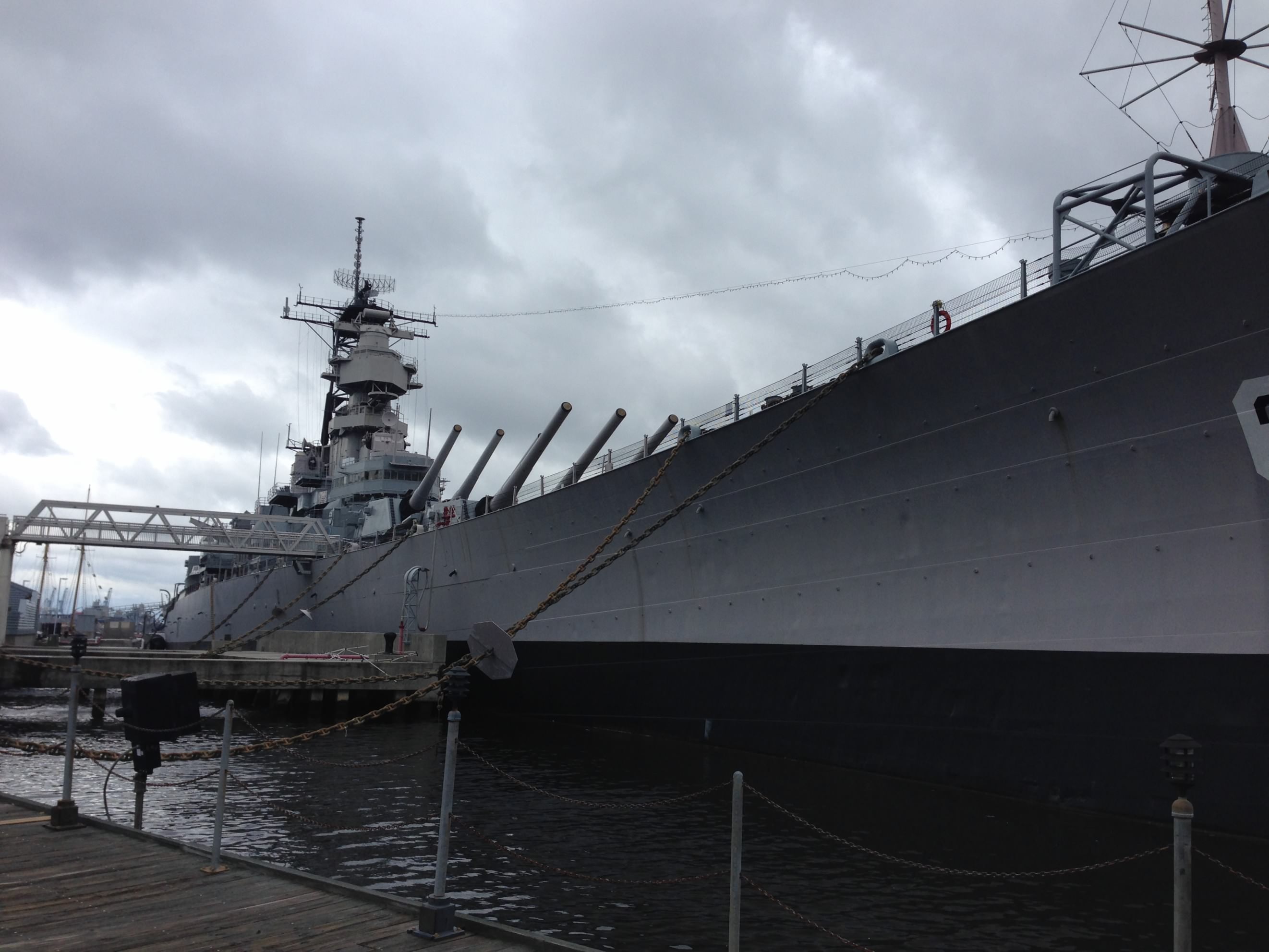
One of the museum attractions in Norfolk is the warship USS Wisconsin. It was damned impressive:
photo 2014 10 22 4
photo 2014 10 22 3
I can just imagine how those guns could blast the shit out of the enemy.

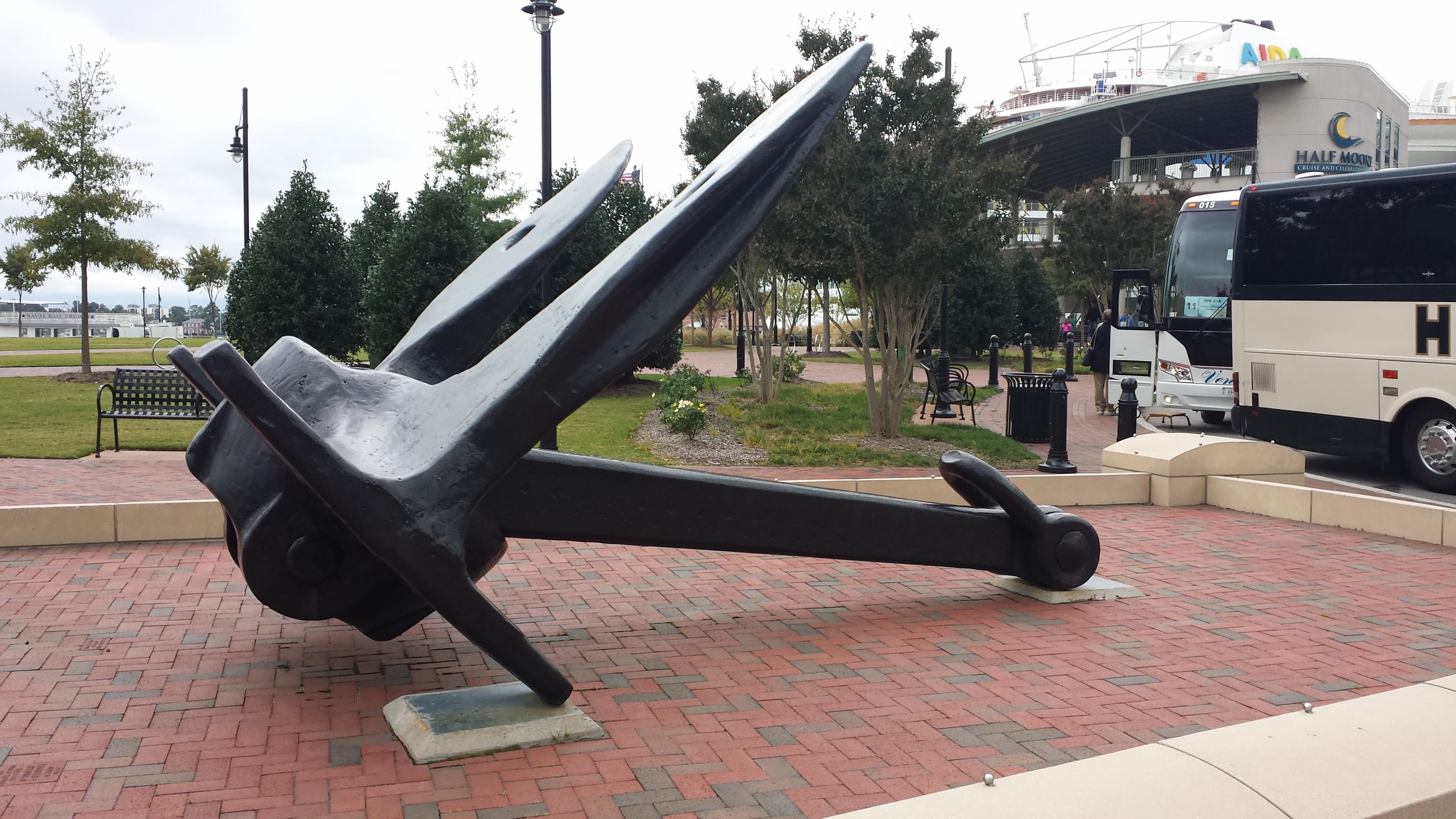
They also had this big anchor on display. It was from one of the old warships. You can see how big it was from me standing in front:
photo 2014 10 22 6
photo 2014 10 22 5

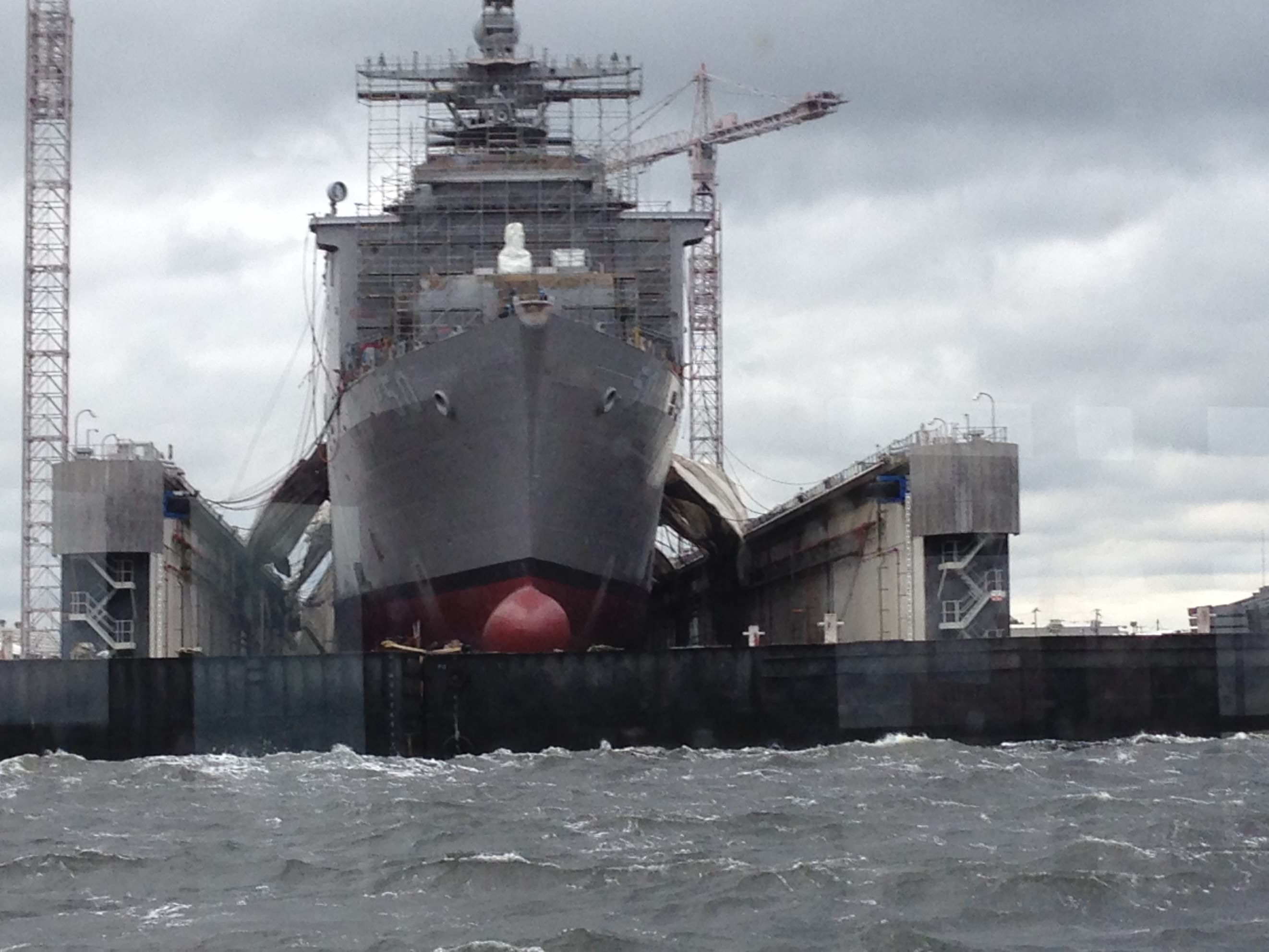
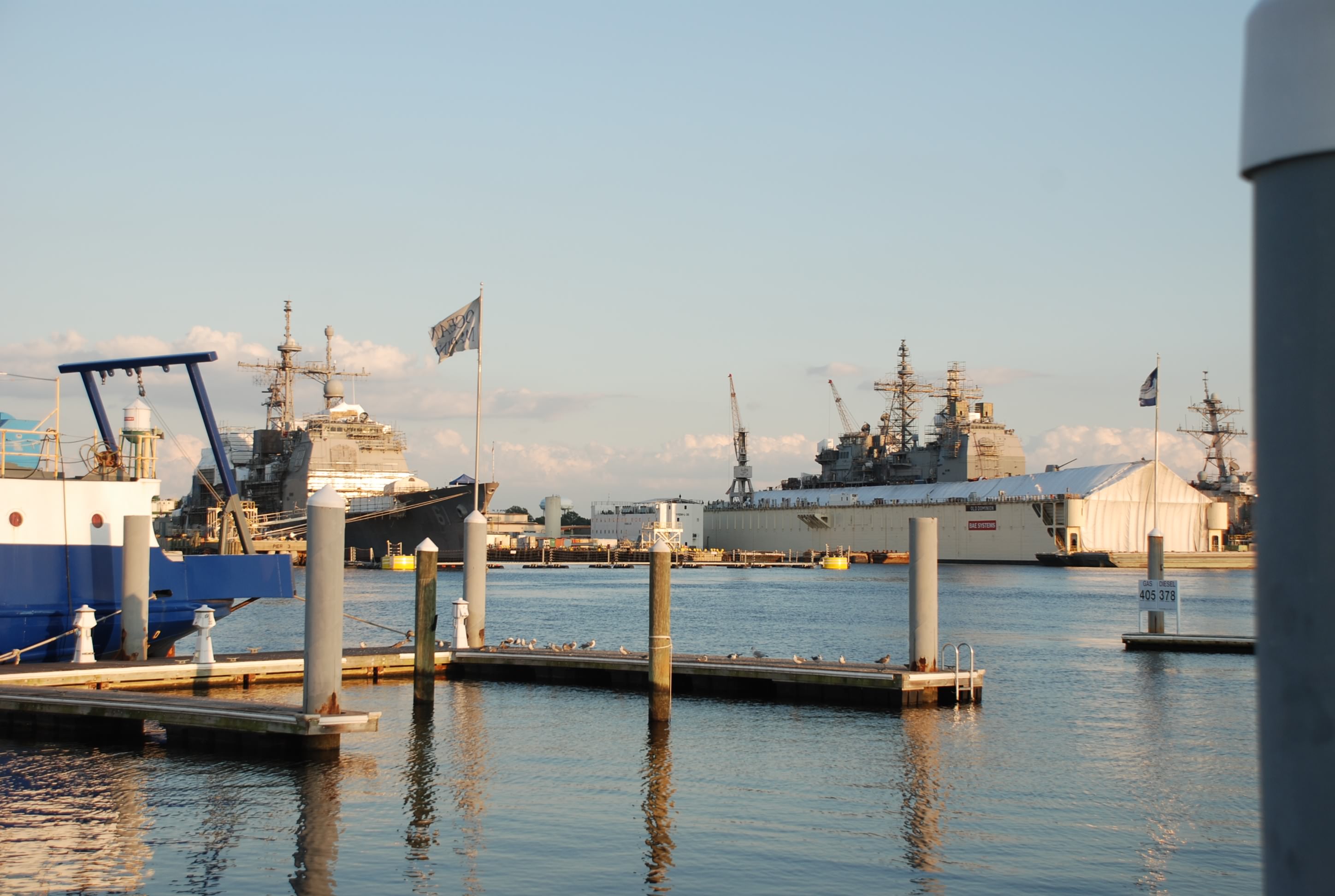
The other thing that is across the river that is just amazing to me is the huge lift services for large ships. These facilities lift the “big boys” out of the water for maintenance. Here is a navy ship being worked on:
photo 2014 10 22 1

Our next leg of traveling is from Norfolk to Florida (Fernandina Beach) and is 623 nautical miles in the intracoastal waterway, from here on out will be abbreviated as ICW. The first part of the trip is taken through one of two routes…the A&C Canal (called the Virginia Cut route) or the Dismal Swamp Canal. Not sure which route we will take yet as we are working on the “plan”. Need to figure that out tomorrow so we can head out on Friday.

I did forget to mention a “Captain Ron” moment that I had while docking yesterday. Didn’t omit it on purpose, as we all have those moments, but just too drunk to remember to post it…lol!! After 8 hours bashing to weather on the bay, we are pulling in to our dock. Strange marina…tired…wind and current…looking through the plastic windows (called Isenglass) in a really tight docking situation (they are all like this on the bay). The mast and the Isenglass obscured a piling directly in front of my path while docking, and it wasn’t until Tricia yelled “you are going to hit the post” that I noticed it. Quick thinking and putting the boat in reverse saved us. We were less than a foot from ramming the post. She felt bad because sound travels well across the water, and everyone around us heard that some “bone head” almost rammed a post with his boat, but I didn’t give it a second thought!! Docking is a bitch, especially in a strange and tight marina, with wind and current. It will happen again, and hopefully without damage to people or boats!

Goodbye Chesapeake…hello ICW

10/21/14
Portsmouth VA, ICW
Position:36 49.962N, 76 17.749W
Posted by Bill

Lots to post about today. We departed Jackson Creek at around 8 AM and motor-sailed south to Portsmouth VA. We started with light winds which built steadily, contrary to forecast (again), but they were off our starboard bow (right, front of the boat for you land lubbers). I was able to put up some sails which helped steady the boat motion, but as we approached Mobjack Bay and the York River we got a nasty sea state again. I was determined to power through it, knowing this is the last day traversing the bay. As I predicted, outside of the fetch of Mobjack and York River, it calmed down and we caught a favorable tide. Also…no crab pots or fish nets today…hurray!

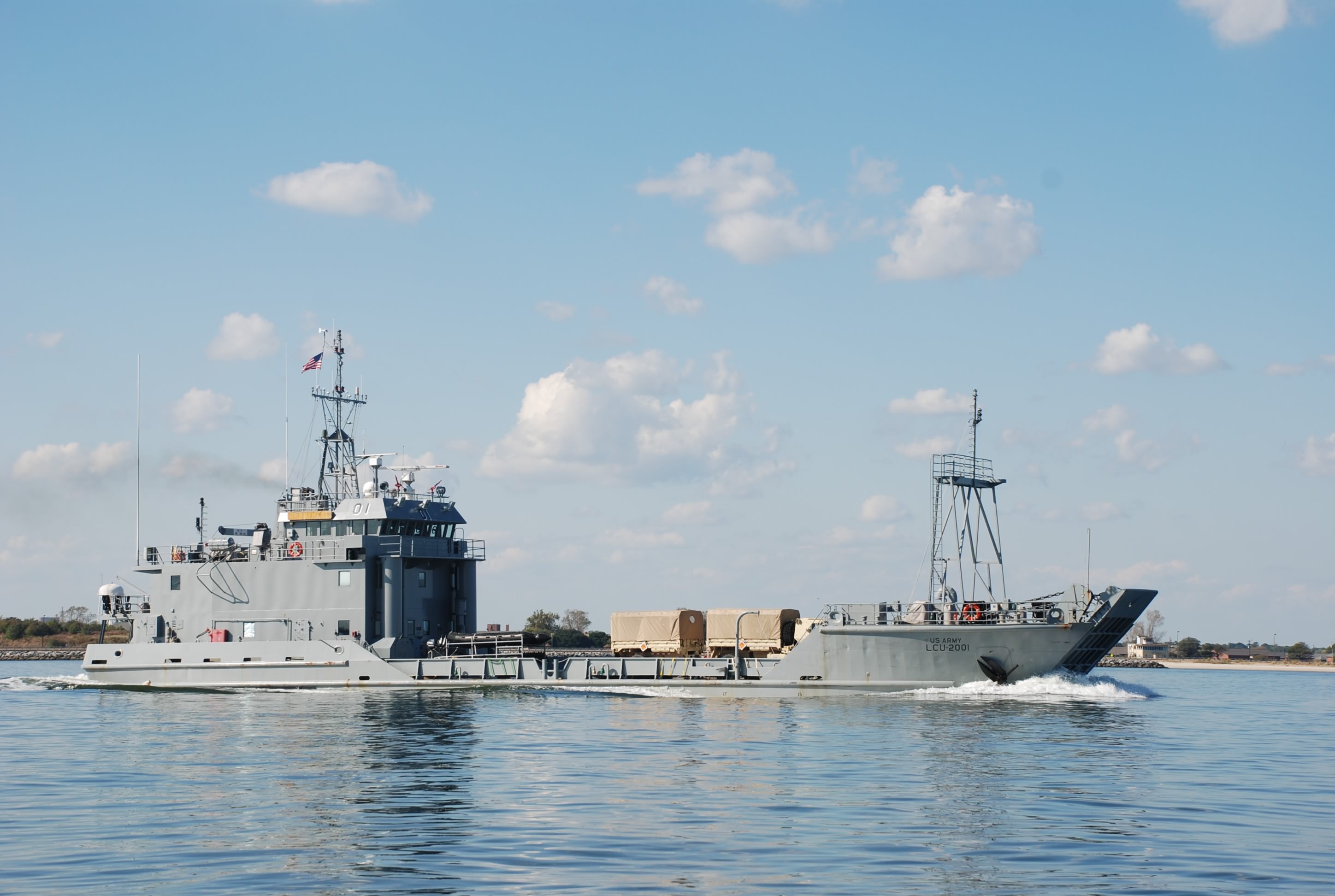
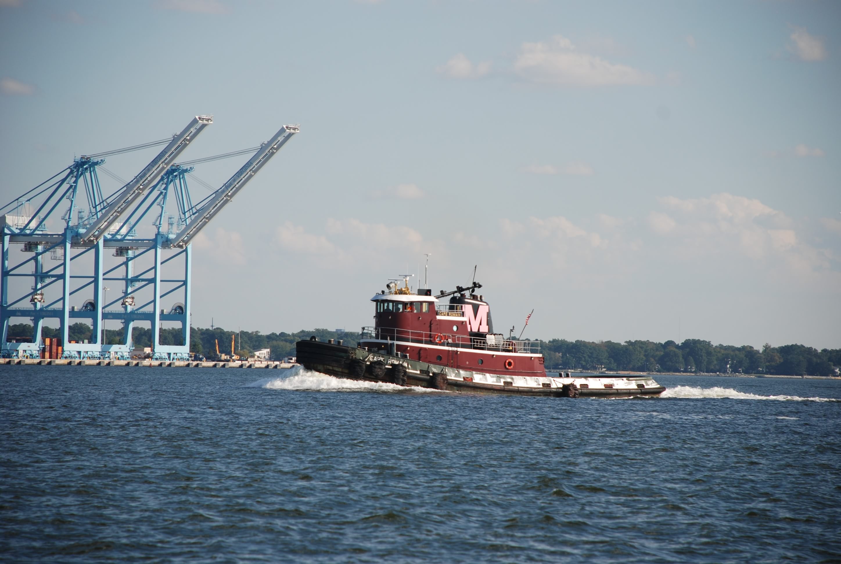
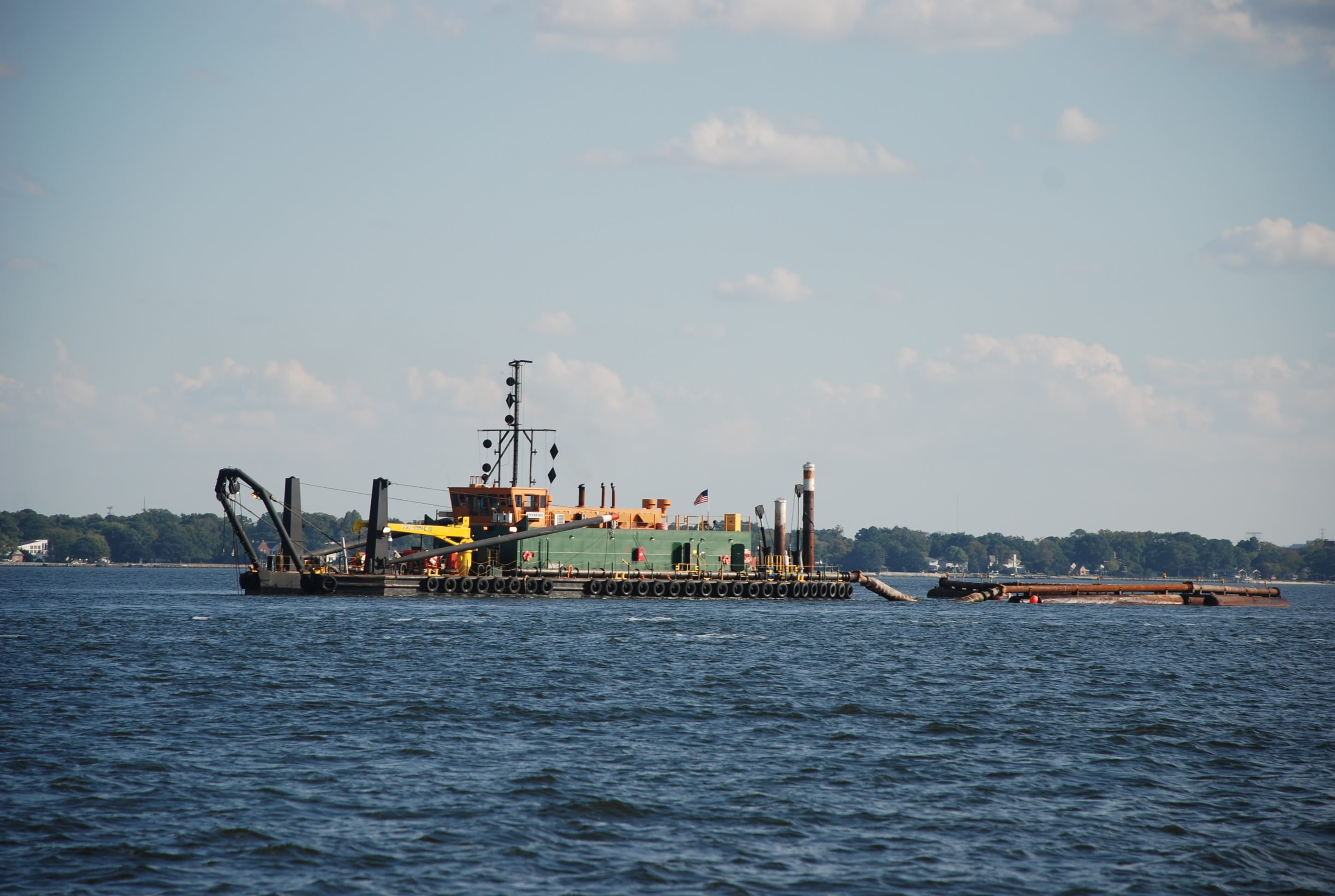
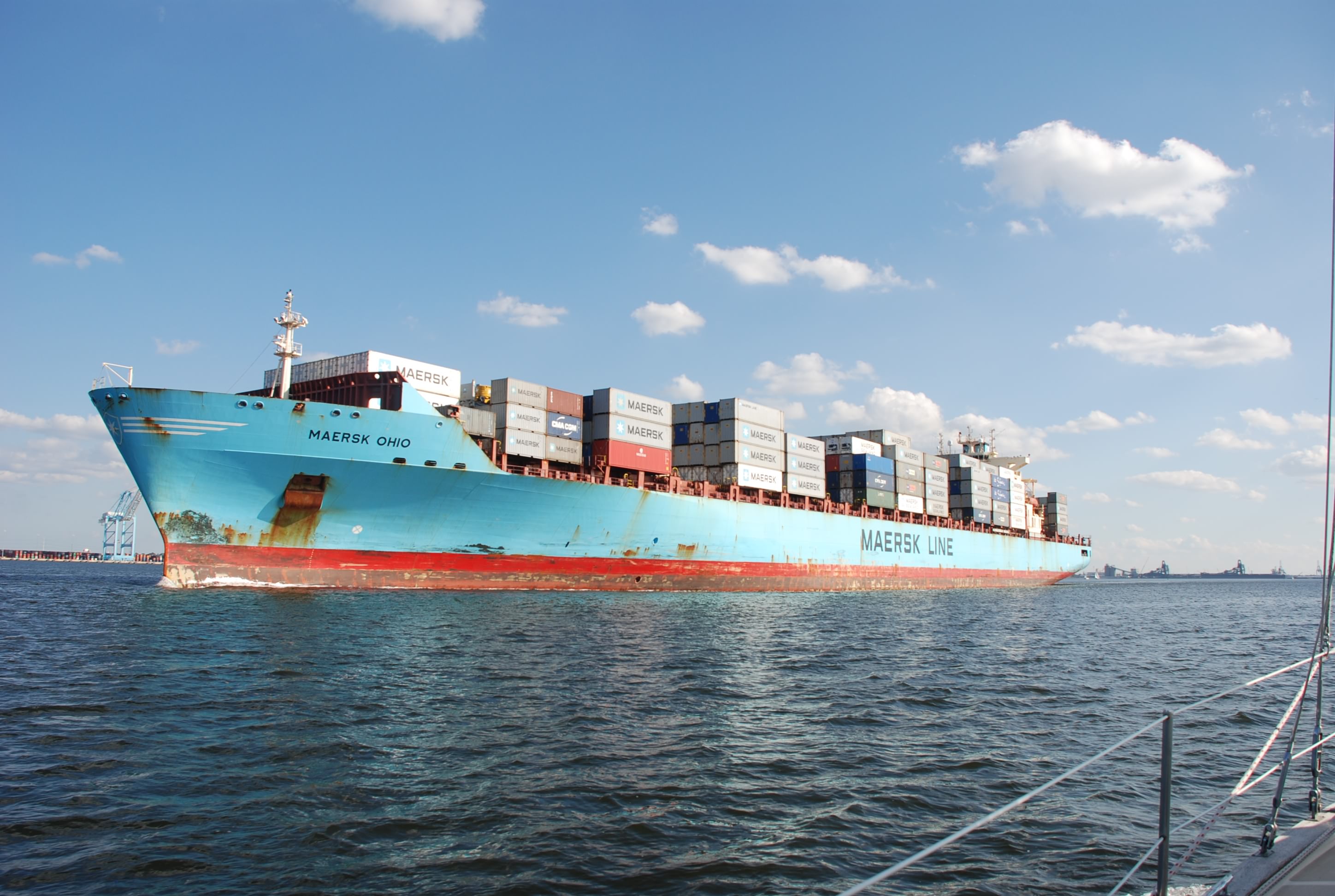
As we moved into Norfolk and the Hampton Roads area, the tide turned against us and we fought a 2 knot current. We also started to have a lot of company…specifically big company. We saw every kind of ship from navy war ships to tugs and dredges.
DSC_0450
DSC_0471
DSC_0483
DSC_0514
DSC_0515
DSC_0520

The navy shipyard went for miles and it was extremely impressive. Don’t mess with the USA buddy!
DSC_0525

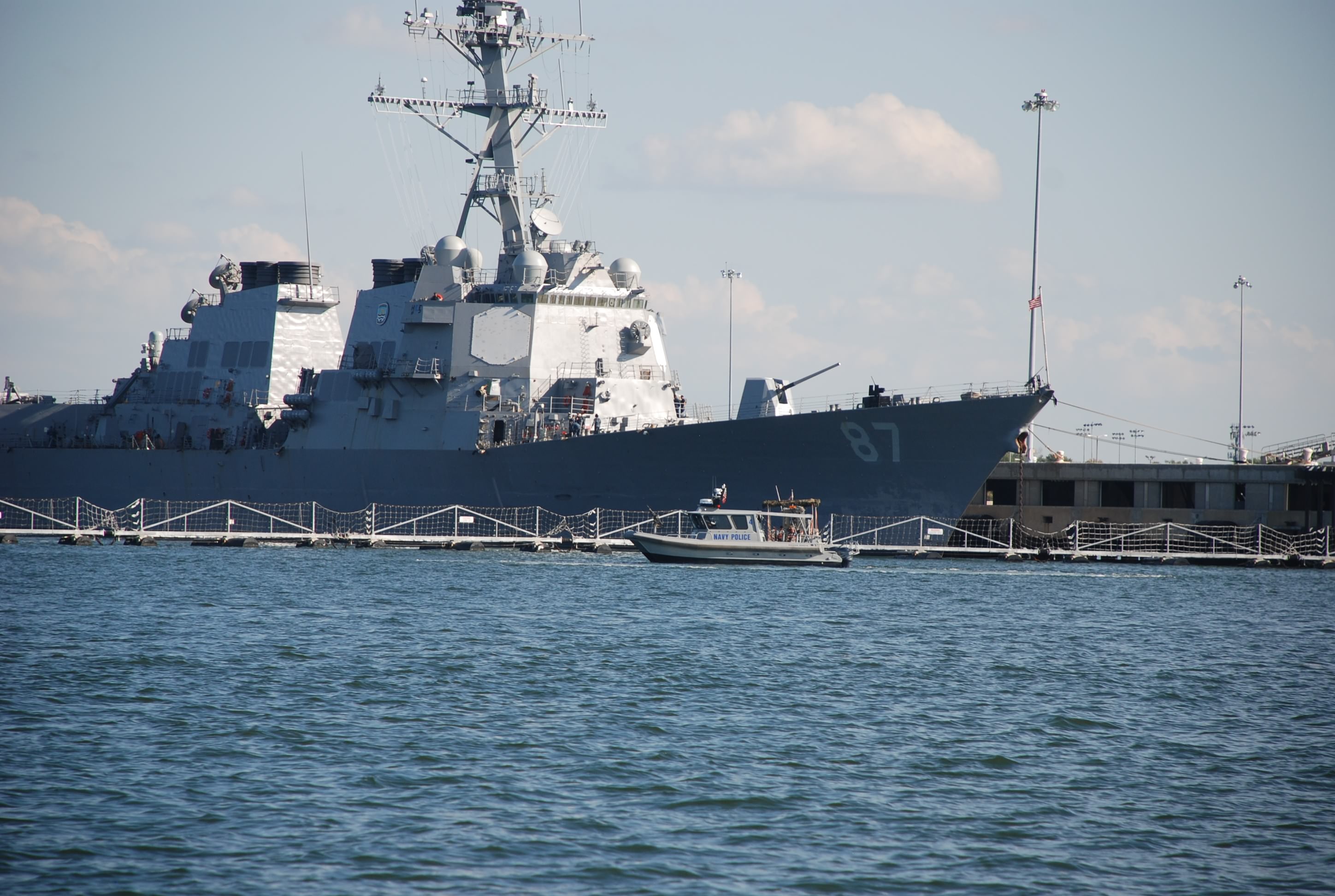
They had navy patrol boats guarding the perimeter of the warships.
DSC_0491

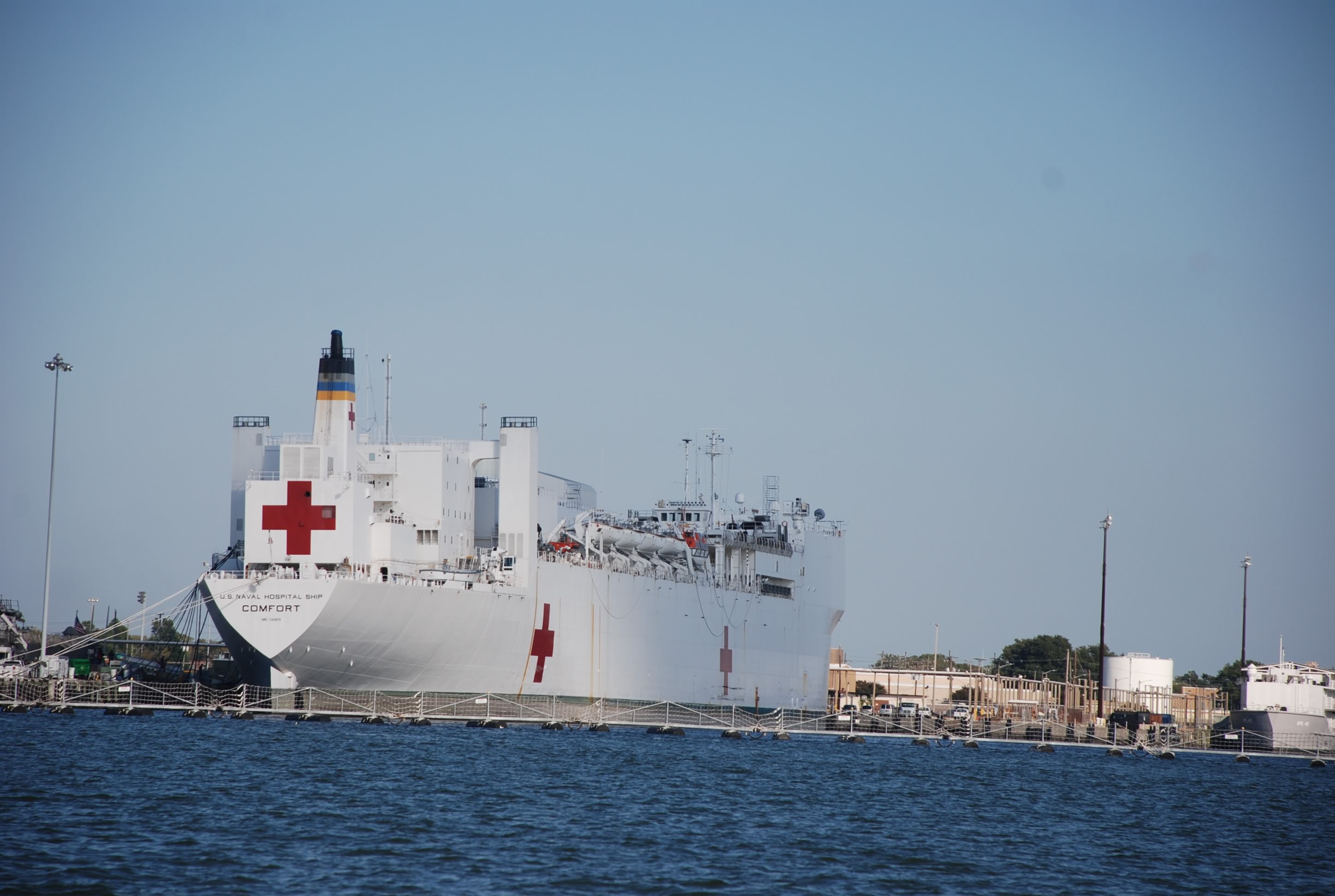
They even had a navy hospital ship. Never saw this before. Check out the name.
DSC_0505

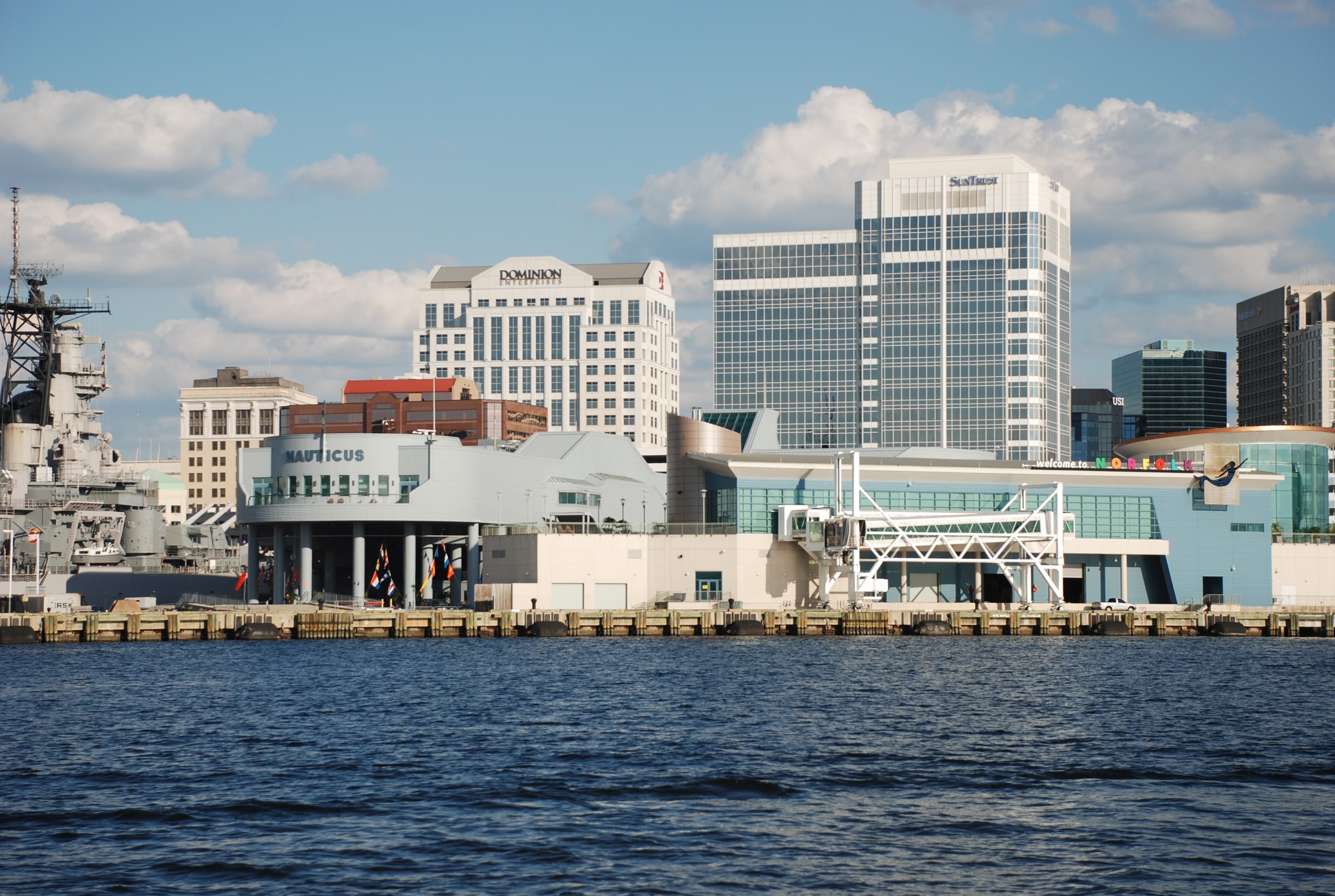
It was cool seeing the Portsmouth and Norfolk downtown areas from the water.
DSC_0528
DSC_0532

On the way down the bay we passed:
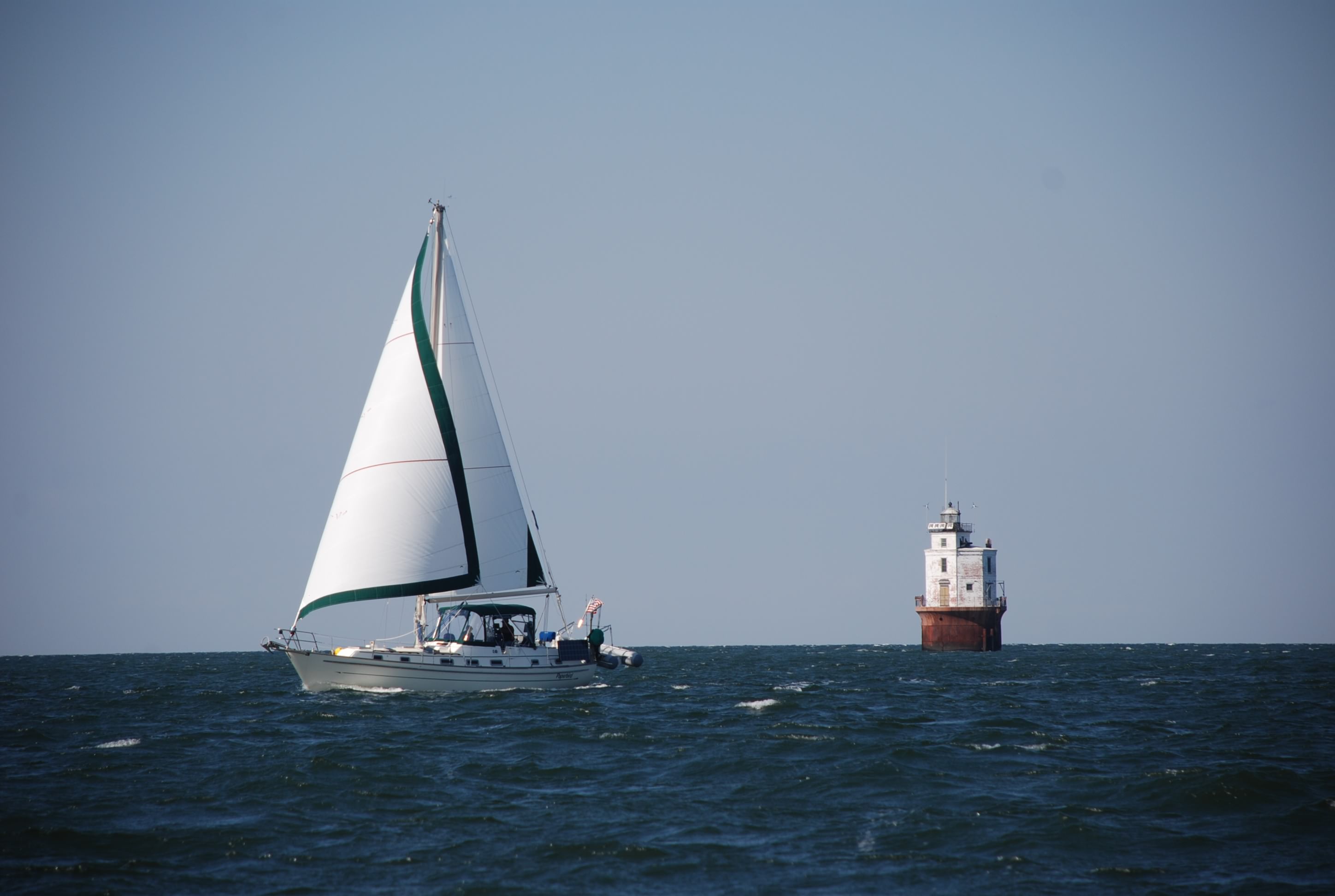
Thimble Shoal Light House. The boat next to it was disabled and calling a tow boat on the marine radio when we passed. The boat name was Misbehavin’. Bummer.
DSC_0421

Fort Moltrie.
DSC_0444

Here we are docked across the river from some big ass war ships.
DSC_0533
DSC_0534

After 3 days in remote anchorages, we went into Portsmouth and had an awesome dinner and some drinks. It was fun! We will hunker down to ride out the next wave of wind and rain before we move on through the Intracoastal Waterway (ICW). We were excited that we completed the voyage through the Chesapeake, and we can now put our charts and cruising guide away, focusing on the ICW to Florida. We have traveled 1135 nautical miles so far.

The weather is considerably warmer here. Today it was 74 degrees and lots of sun. Love that!

We also had lots of excitement on the marine radio today. Couple of boats on fire and lost dinghys. Bad shit man! Good news though…when we got to the dock today, we plugged in to shore power and the inverter/charger was correctly charging the batteries and also passing through the A/C power to the boat. The inverter function must be the only thing on the fritz. Glad to see that.

Another ass kicking on the bay

10/20/14
Jackson Creek – Deltaville, VA, Chesapeake Bay
Position: 37 32.701N, 76 20.083W
Posted by Bill

We headed out early for Hampton/Norfolk VA, but after a couple of hours we hit 20+ knots wind on the nose, and a really nasty sea state. We were once again bashing into the weather and it wasn’t fun. We have gotten smarter so we diverted to the west and into the Piankatank River on the south side of Deltaville VA. We anchored in Jackson Creek in a protected anchorage. I did some boat maintenance while Tricia worked. The latest boat casualty is the inverter that provides our AC power from the batteries…bummer. Don’t have a clue why, but it is not working. Not sure if the battery charging function is still ok or not until we get to a marina. Fingers crossed.

Tricia cooked another great dinner and we will move toward Portsmouth, VA tomorrow. Still killing fruit flys!!!

The anchorage in Jackson Creek:
DSC_0403
DSC_0402

Hunkered down in Mill Creek

10/18/14
Mill Creek, VA; Chesapeake Bay
Position: 37 47.579N, 76 19.449W
Posted by Bill

Today was the first time we actually got to sail to our destination. Winds were 15 – 22 knots out of the NW and we were going S-SW…yay! It was great, but when we got to the mouth of the Potomac River the waves increased to 6-7 feet. It was a little crazy for a few hours but nothing we haven’t dealt with on Lake Erie. We read and heard that the Potomac can make the bay a little “dicey”, and they weren’t a-kiddin’.

Winds were supposed to increase to 30 knots tonight and tomorrow (again..sheesh!), so we decided to go and anchor in a very protected area south of Reedsville, called Mill Creek. Reviews showed that it is a quiet and picturesque anchorage but there are no places to go ashore, and the cell phone coverage is crap. This is why this post is late.

We met a couple in Deale on a Pearson sailboat called Paperbird. This is their maiden cruising voyage too, but they have lived and boated on the bay for many years. They are the ones who told us about Mill Creek. We were sailing along with a whole chain of boats heading south just like us, and sure enough, right next to us is Paperbird. We get on the marine radio and chat and told them we were going here to ride out the winds, and they changed their destination as well, so we followed them in. If we all stay tomorrow, we will dinghy over and socialize a little.

This place lived up to its reputation. It is so quiet and peaceful; we don’t know what to do! The shoreline is comprised of nice homes and farms and there is very little boat activity. We are anchored in 12 feet of water and have a beautiful view. It was blowing 18-22 knots most of the day on the bay and there is hardly a ripple in this anchorage…just what the captain ordered.

On the down side…we have an infestation of fruit flys. The bastards have taken over and we don’t know what to do to eradicate them!

If the forecast changes for the better, we will move tomorrow to someplace closer to Norfolk, or make a break for Norfolk…it all depends on the weather. So goes the life of a cruiser.

Pics:

Paperbird crossing Ingram Bay light.
DSC_0362

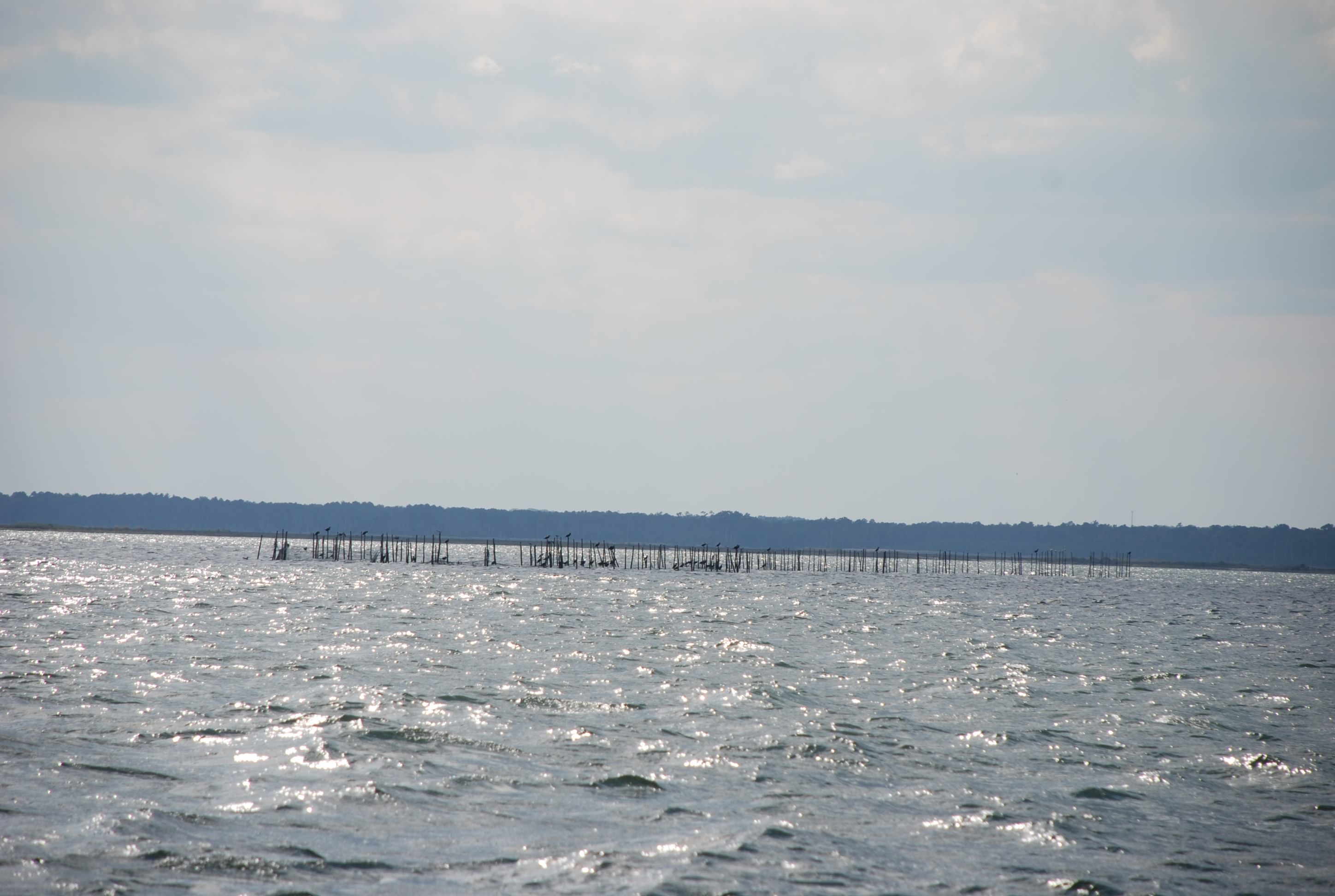
A fish weir. A bunch of sticks in the way of boating…my interpretation…someone thinks this is a productive fishing thing
DSC_0371

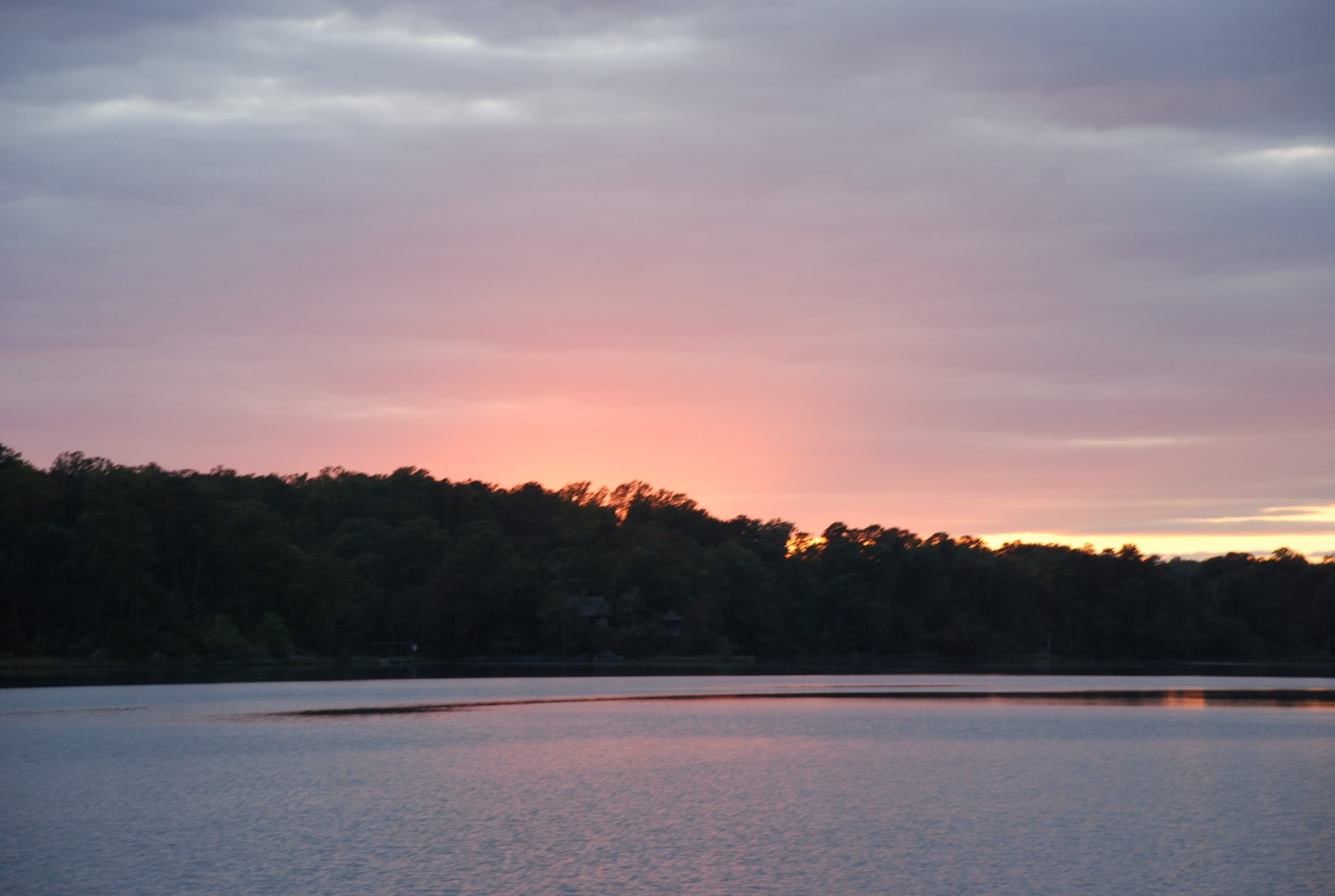
Sunrise in Mill Creek
DSC_0390
DSC_0398

Solomons, day 2, plus thoughts on navigating

10/17/14
Solomons Island, MD; Chesapeake Bay
Posted by Bill

Well, we stayed another day, and the day was absolutely beautiful. Not a cloud in the sky and 73 degrees with no wind. Tricia worked but we managed to go to breakfast and take a bike ride to West Marine for lunch. Later we took a dinghy ride through all of the creeks in the surrounding area. It was amazing to see the number of watercraft, particularly sailboats, most of them very large and expensive. This place is just teeming with boats. You can dinghy to several restaurants and bars, or for smaller boats, you can just dock your boat behind the establishment. Tomorrow the wind will pick up again, but will be out of the west, which will make for a good sailing day down the bay to Reedville, VA.

I haven’t mentioned a couple of things about the bay that have taken some getting used to. They are things that we just don’t have to deal with in the Great Lakes, the 2 biggest being crab pots and tides. There are crab pots and fish nets everywhere that there is water under 30 feet, which is most of the bay. You can’t see them very well until you are on top of them, especially if there are waves. They space the crab pots in approximately 50 foot intervals. If you are sailing, no big deal, but if you are motoring, the float lines can get sucked up into your prop and wrap around the prop shaft. This can cause your engine to seize and/or damage the transmission, so you really have to avoid them. You can be cruising along half paying attention and then, CRAP!, crab pots! It makes navigating tough. Tides create currents that can get up to 2 knots in the bay. It can really affect your speed and drift, so you try to time your trips to work with the tide, which is not always possible. The other thing that tides do is work with or against the wind and waves. When the tide is in opposition, the waves become steeper and the sea state is rougher. You also have to account for tide when when determining how much anchor chain to put out when anchoring. If docking, you have to adjust your dock lines to account for the tidal range. So far, we have had a tidal range of 1.5 to 2 feet, which is not bad. We are getting the hang of how to deal with tides, but I hate the crab pots and fish nets!

It is also interesting, the number of people we are seeing and meeting that are doing what we are doing. Every day we see more and more, and are beginning to see some of the same people we saw before. They are of all different ages so far, and there are a lot of foreign sailors, mostly from Canada. I think the Bahamas is going to be very crowded! Most have been doing this for several years, and we have only met one couple that is on their virgin cruise like us. The veterans are telling us that it is very late in the year to be moving south and that we will likely have some cold weather if we don’t get the hell out of Virginia soon!

We have been getting spoiled staying in marinas the last several weeks. We hadn’t planned on using them that much, but I have erred on the side of comfort/safety with the weather lately, and we took advantage of a great day in Solomons. We will have to start anchoring as long as the weather is good, to get our expenses down. I like being “on the hook” better anyway. You just have to deal with not having shore power and being dependent on the boats shower and head (toilet), vs shore side facilities. The upside is that you have a 360 degree view of the water, your neighbors are not right on top of you, and you can move if you don’t like the surroundings. Today we topped off the dinghy fuel and generator fuel in preparation for anchoring more often.

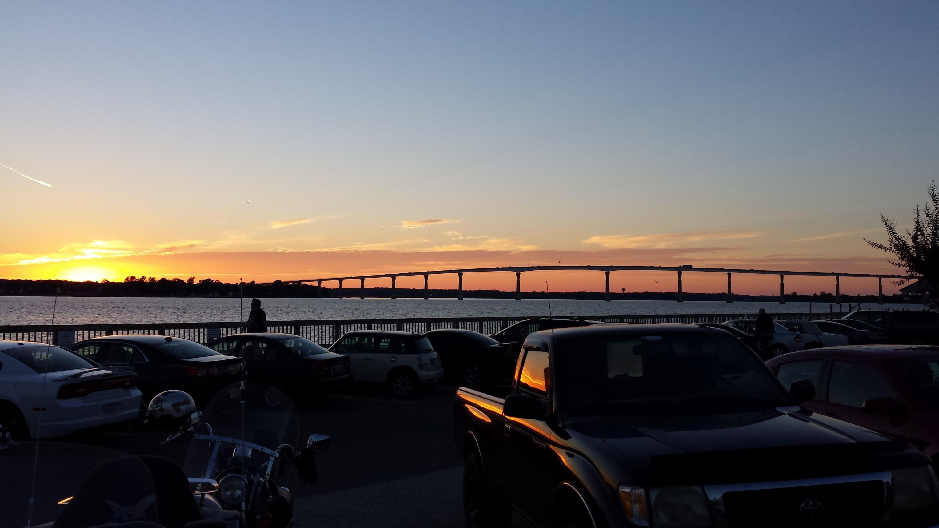
Sunset on the Patuxant River today:
20141017_182042
20141017_182019
20141017_181904

Solomons pub crawl

10/16/14
Solomons Island, MD; Chesapeake Bay
Position: 38 19.751N, 76 27.456W
Posted by Bill

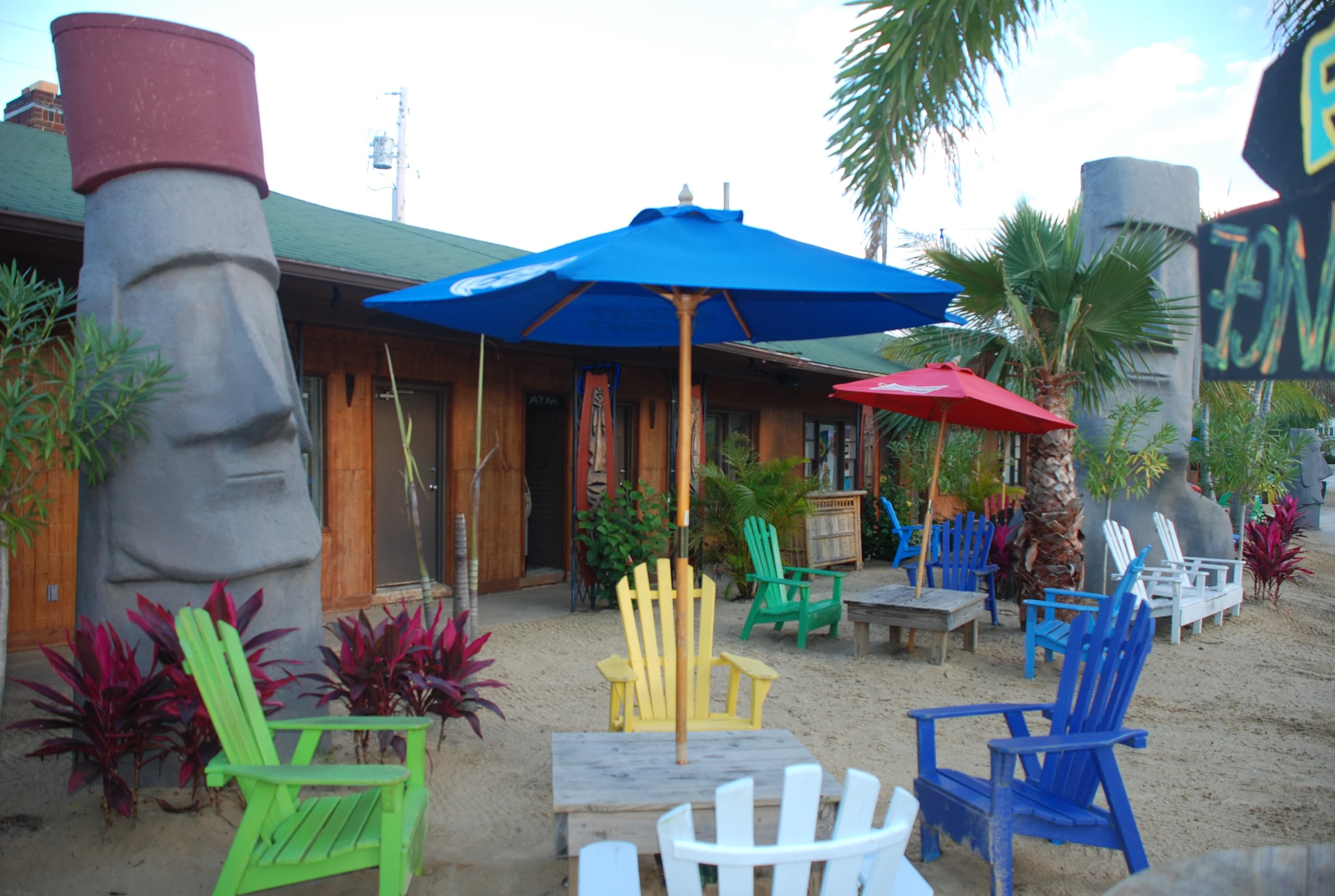
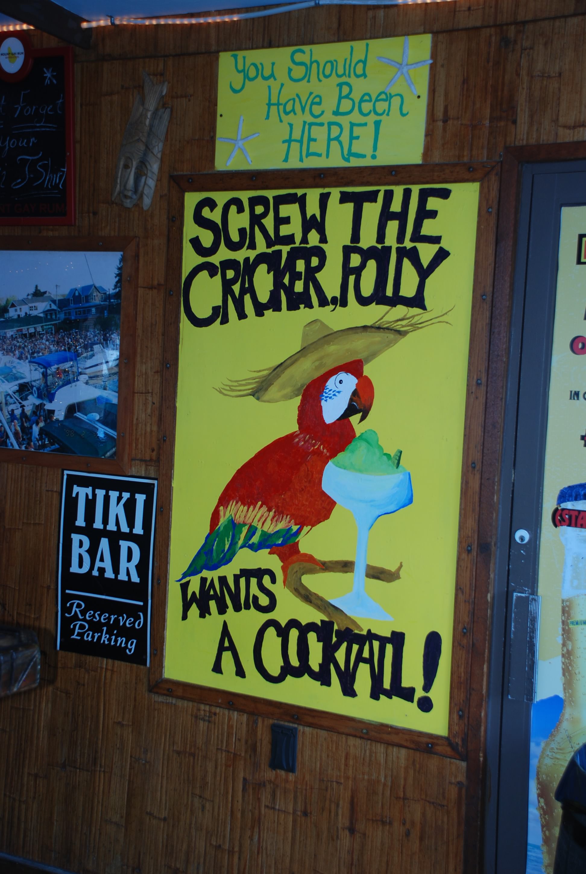
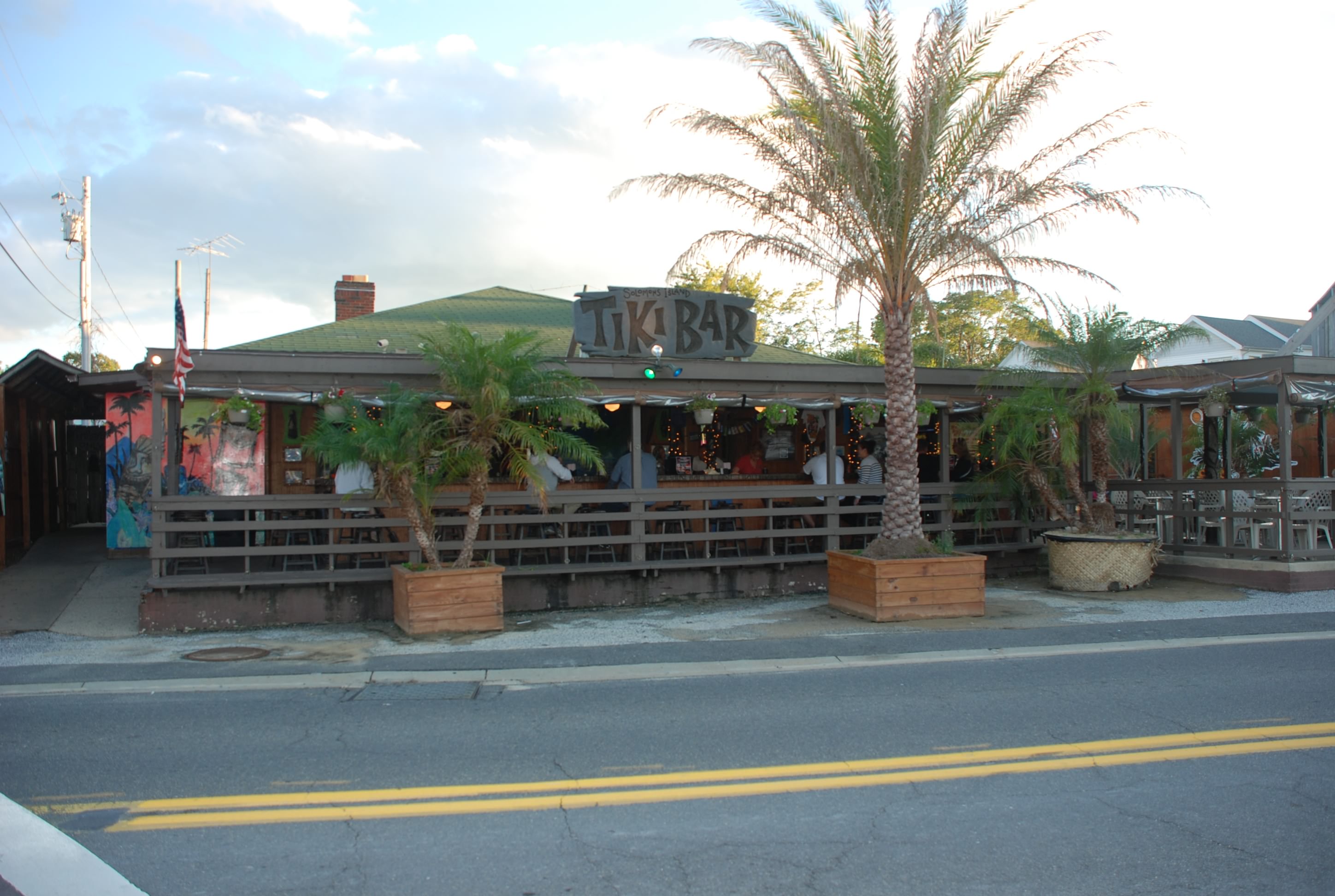
We finally made it to Solomons Island. We wanted to get here to wait out the weather that we got over the last 3 days but we couldn’t make it before dark, but we are here now. It is really a cool place. There are 3 creeks that comprise the area and there are tons of boats and marinas. We arrived mid-afternoon and did some exploring, including a good ol’ fashioned pub crawl. Made us think about the friends we did the pub crawls with in Columbus. Everything here is in walking distance, so we don’t have to worry about driving, which is good. We started at Solomons Pier, went to The Light House, then The Tiki Bar and ended the crawl at Charles Street Brasserie. It was fun! We might have to stay another day. The weather was really nice today and we got to wear shorts again…of great importance to me…lol.

Solomons has an interesting history which you can check out at: http://www.solomonsmaryland.com/history-of-solomons.html

The passage today was once again into the wind. When the tide was opposing the wind, the waves became steep and of short period, much like Lake Erie, and it was a little rough for some of the passage. The bay opens up and is very wide in this section and it reminded me very much of Lake Erie. The sun came out in the afternoon and it became very nice. I was glad we diverted to Deale and waited out the heavy winds. It would have been a really rough passage if we had not made the call to divert. The Patuxant River, which is the tributary that Solomons is on, is very beautiful and picturesque. When we come back next summer, we will explore further up the river.

Close to Solomons, there is a section of the bay that has these really high cliffs:
DSC_0286

We also passed this big terminal for oil and fuel handling with big tanker ships.
DSC_0289

Then past Cove Point Light:
DSC_0299

The view coming in to harbor:
DSC_0300

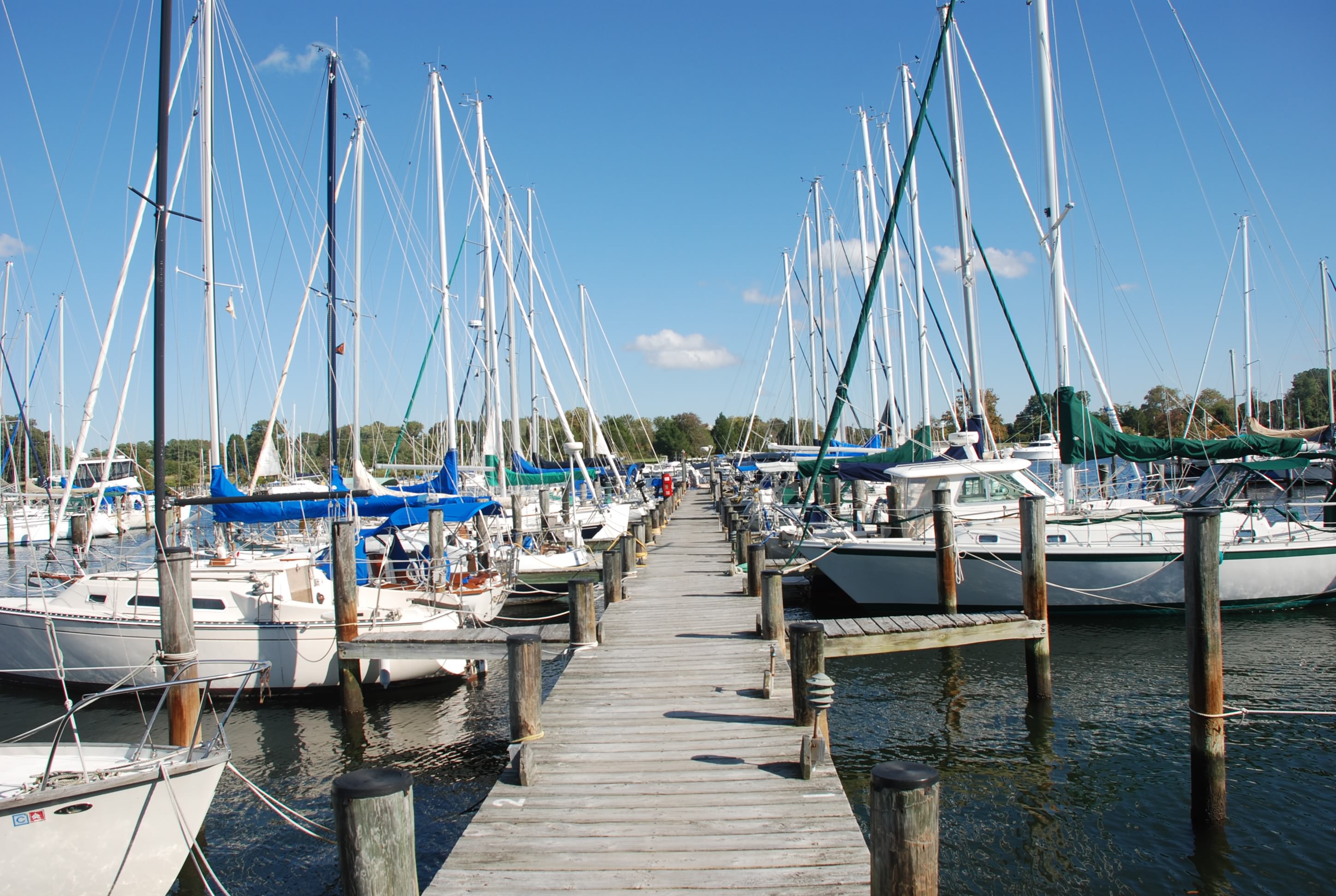
Misc pictures of Solomons Island:
DSC_0304
DSC_0306
DSC_0315
DSC_0321
DSC_0327
DSC_0328

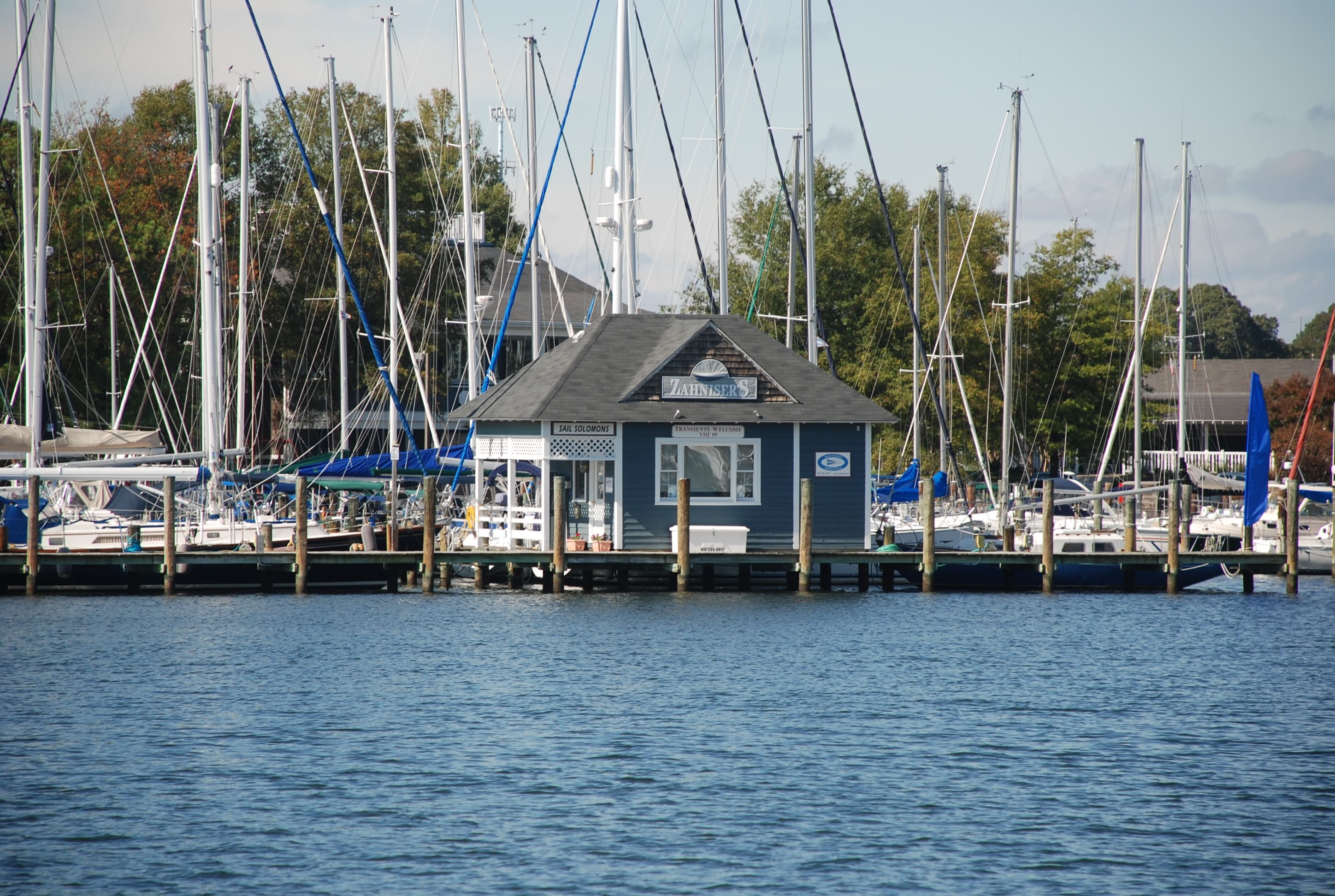
Zahniser’s Marina, where we docked:
DSC_0320
DSC_0324

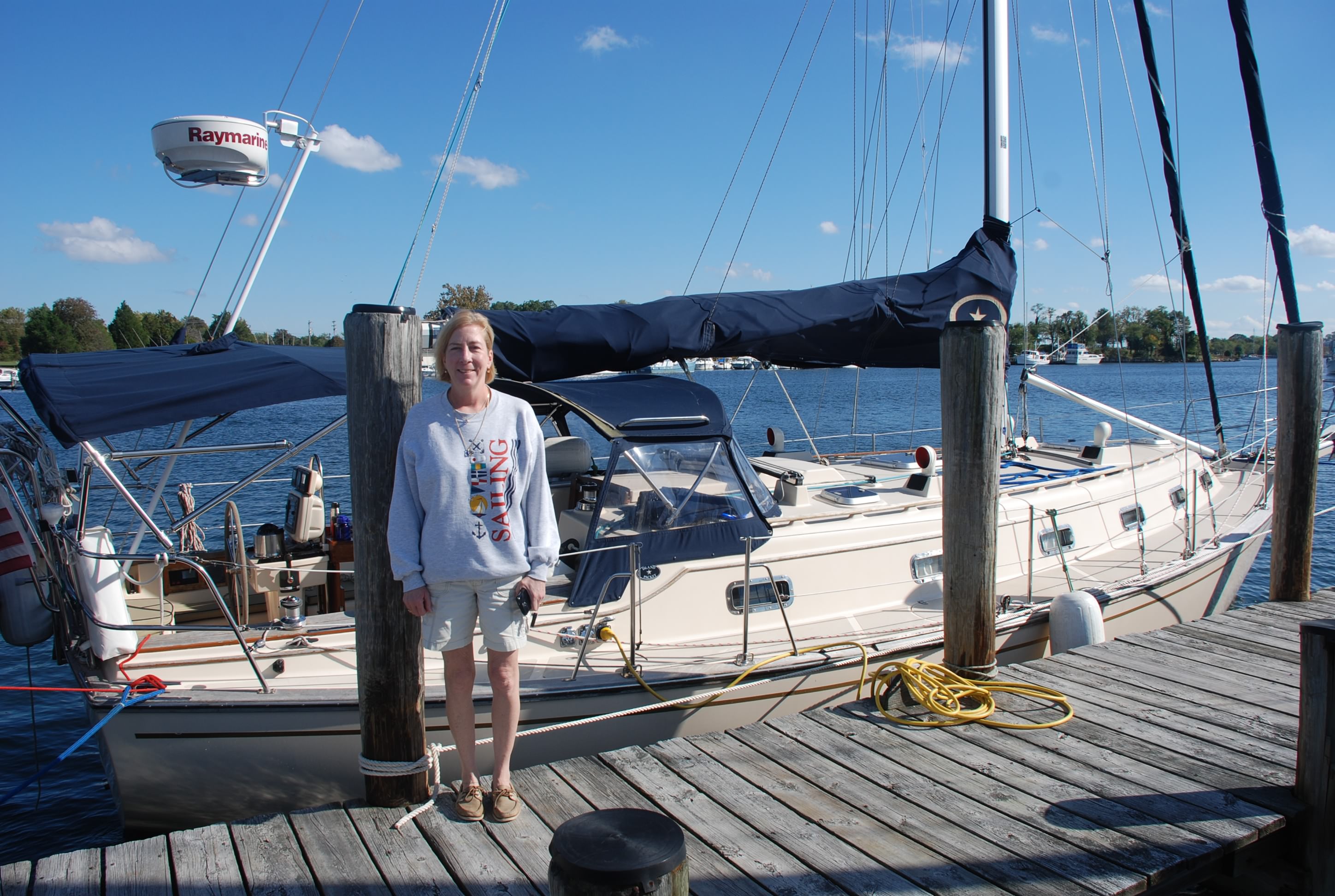
Tricia, with Island Bound:
DSC_0322

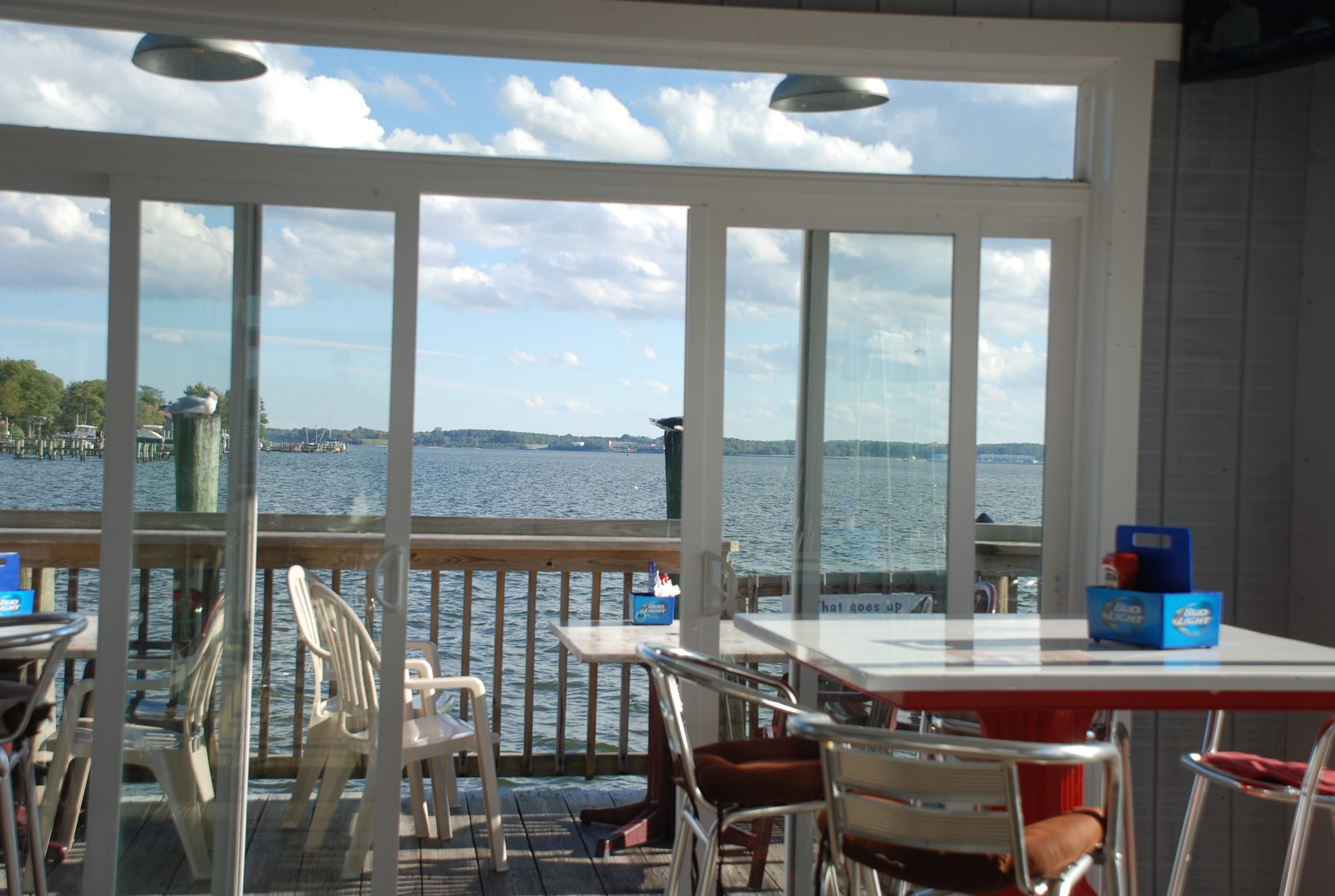
The view from Solomon’s Pier dock bar:
DSC_0329

The Tiki Bar:
DSC_0334
DSC_0336
DSC_0337
DSC_0340

If we don’t stay here another day, we will be off to Reedville, VA. Today was fun, so we might just stay another day!

Between a slap and a whirrrr

10/15/14
Deale, MD; Chesapeake Bay
Position: 38 46.30N, 76 33.81W
Posted by Bill

The weather forecast finally jived with reality and we got hammered with wind and rain today. Most of the day we did not have too much rain until late afternoon. Glad we are in a marina. Being in a marina is nice because 1) you are tied to something solid, 2) you can get off the boat and do shore based stuff without messing with the dinghy, and 3) you have access to showers and a bathroom. The downside of a marina is that you are side-by-side with other boats and their owners, and it is usually expensive. The boats on either side of us are unoccupied, and on one side is a boat that did not have the halyard secured. A halyard (or this one in particular) is used to raise the main sail and it runs up the outside of the mast. If this is not secured, the halyard bangs against the mast when the wind blows and is called halyard slap. It is considered rude to not secure lines that would cause your neighbors angst, and it is a pet peeve of mine. In 20-30 knot winds, the halyard slapped all day and night, making a huge racket. On the other side of us was a boat with a wind generator. Most models of wind generator for boats make a whirring sound that can get rather loud. The one next to us was a 9 out of 10 on the noise scale. Between the 2 boats next to us, we had to drink several martinis to dull our senses to the point that we could tolerate it (oh darn), and we were up to the challenge.

2 great things happened to us today that were unexpected. First, upon telling the marina that we were going to stay a third night, they gave us the night for free! Second, I asked to have an air conditioning guy come to look at why our AC/heat was not working because it was beyond my troubleshooting capability. He spent a half hour looking at our system and it amazingly worked without him doing anything else. He did not charge us since he really didn’t do anything repair wise, and it is working great. On top of that, he taught me some things about the system that I didn’t know. Kind of like icing on the cake for Herrington Harbour North marina.

I met a couple from Cleveland a couple of slips down from us. Their boat name is High Spirits and they have cruised the Bahamas several years now. We exchanged contact info and will be looking for them as we move south.

I didn’t mention how good the food was at Skipper’s Pier on the blog yesterday, so I thought I’d add some content about yesterday’s dinner. Tricia had fried shrimp and I had ribs. The food was awesome. If you are ever in the area, we highly recommend it, and you can dock your boat there while you eat.

Mike and Sue are making a drive down to have dinner with us tonight. Seems they miss us as much as we miss them and it is not too far from where Mike’s band is playing, so I thought I would post the blog early, knowing the way we party when together…lol!

Tomorrow’s forecast is looking good for passage, so we will make way to Solomons Island.

Our car got a flat

10/14/14
Deale, MD; Chespeake Bay
Position: 38 46.30N, 76 33.81W
Posted by Bill

Well the weather followed through according to forecast today and the wind kicked up pretty good. It looks like the forecast further south is even worse, so we are going to sit it out here until Thursday.

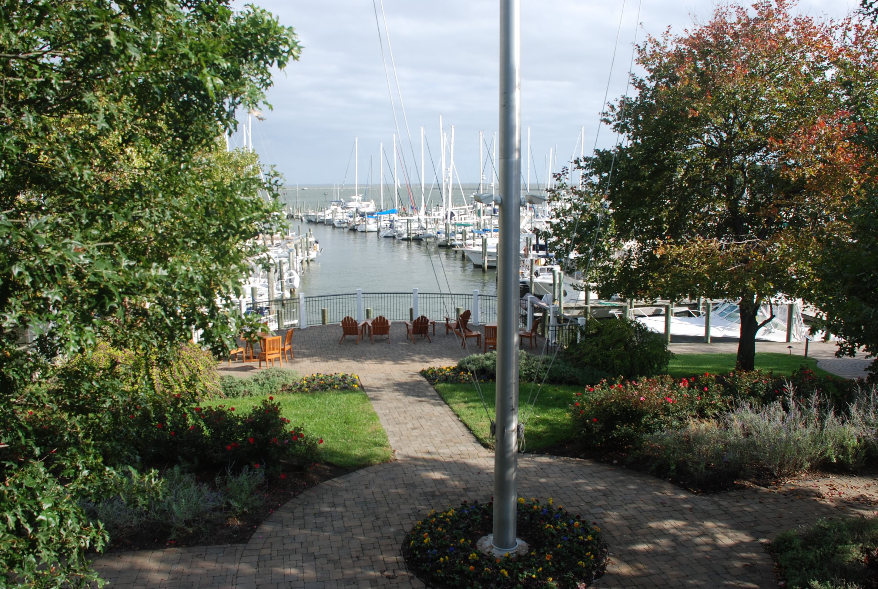
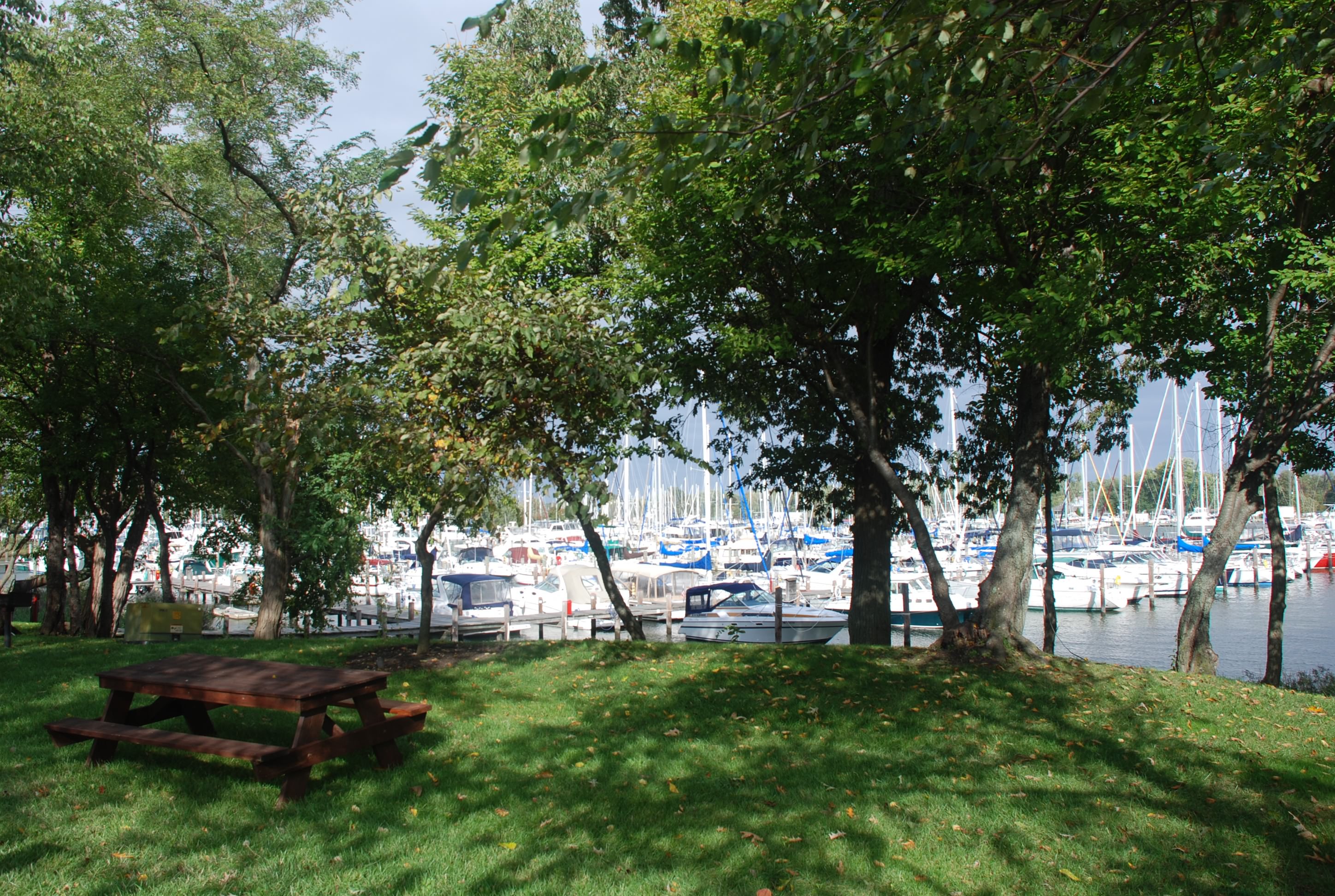
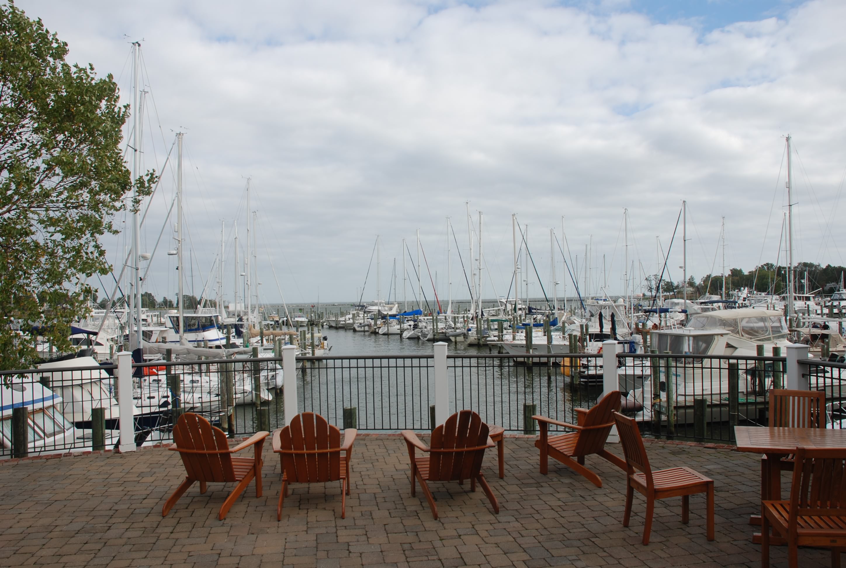
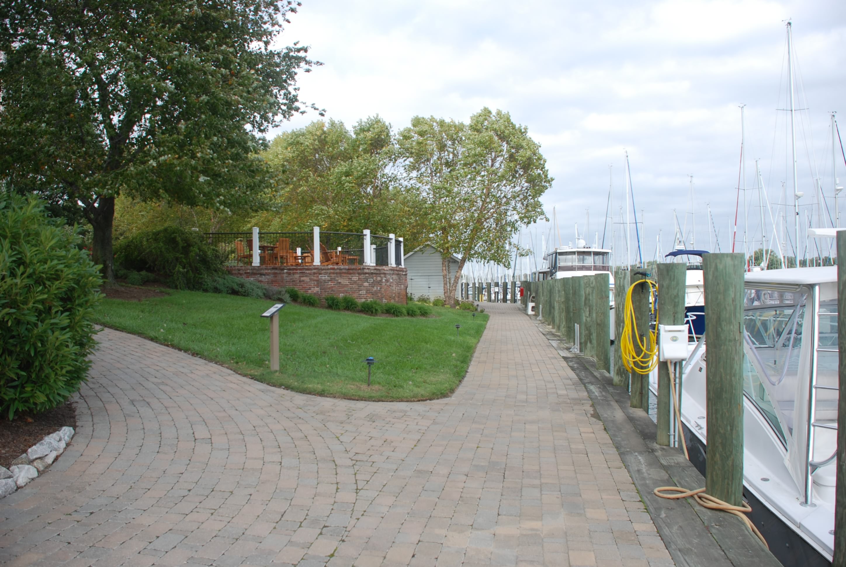
Herrington Harbour North is a really nice marina. The grounds are really well kept and the showers and restrooms are nice as well. Showers and rest rooms are important in this life style. These are the nicest we have had so far other than our home marina on Catawba. Here are some pictures of the grounds around the marina. This is typical of what it is like throughout all of the docking areas.
DSC_0282
DSC_0281
DSC_0275
DSC_0277
DSC_0274
DSC_0276
DSC_0280
DSC_0278

Even the boat yard was impressive. The yard storage locations were numbered and each one had electricity and water connections. I’ve never seen that before!
DSC_0279

Besides the wind, today was a really nice day, and we got to wear shorts. We walked to a place in Deale for lunch, stopped by the hardware store to pick up some stuff, stopped by West Marine to be disappointed that once again, they don’t have what we need. Then we launched the dinghy (which we call our car) to go across the creek to go to dinner. To me, this is great fun…taking a boat to dinner. We ordered a beer and dinner and sat on the dock by the water. As we are sitting there, I notice that the dinghy is dented in, which is not a normal state for an inflatable boat. It was not like this on the way over to dinner. One side of the dinghy is losing air and is going flat! Oh crap!!! I jump in the dink (short for dinghy), and cross back over to our boat to get the pump that is used to pump it up. I notice that the valve cover for that side of the dink is loose, probably caused by bumping it while tying up at the dinner spot. Thank goodness. I had bad visions of a punctured dink and having to deal with fixing it, not to mention, how in the hell do we get back home!!?? So far it looks like it was just the valve and our car is functional again.