Category Archives: Bimini

Breaking Bimini’s hold…and averting a disaster at sea

3/2/19
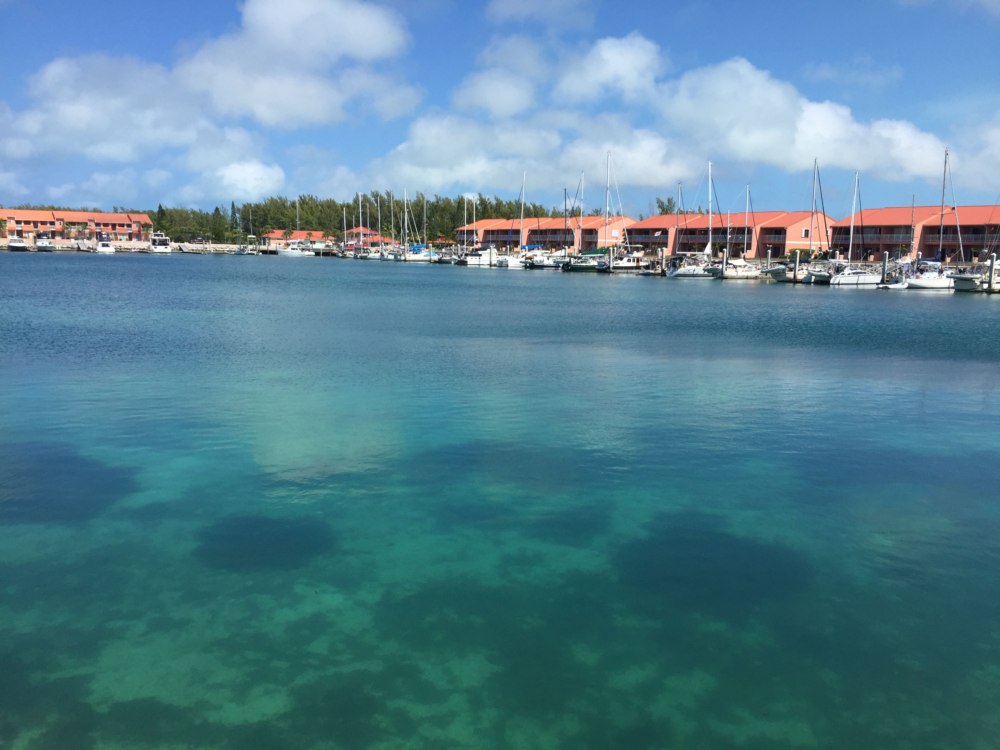
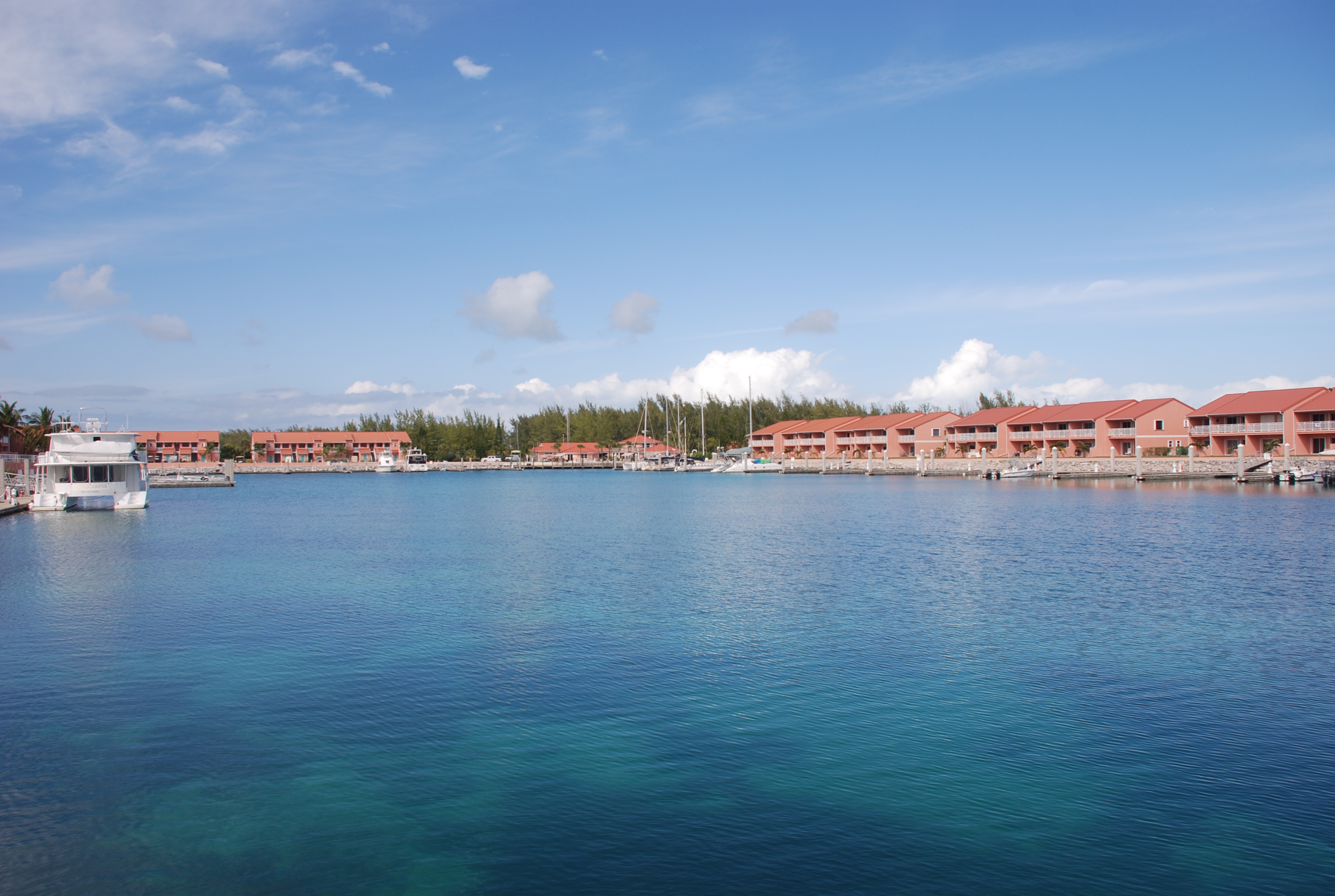
Palm Cay Marina, New Providence, Bahamas
Position: 25 01.254N, 077 16.460W
Posted by Bill

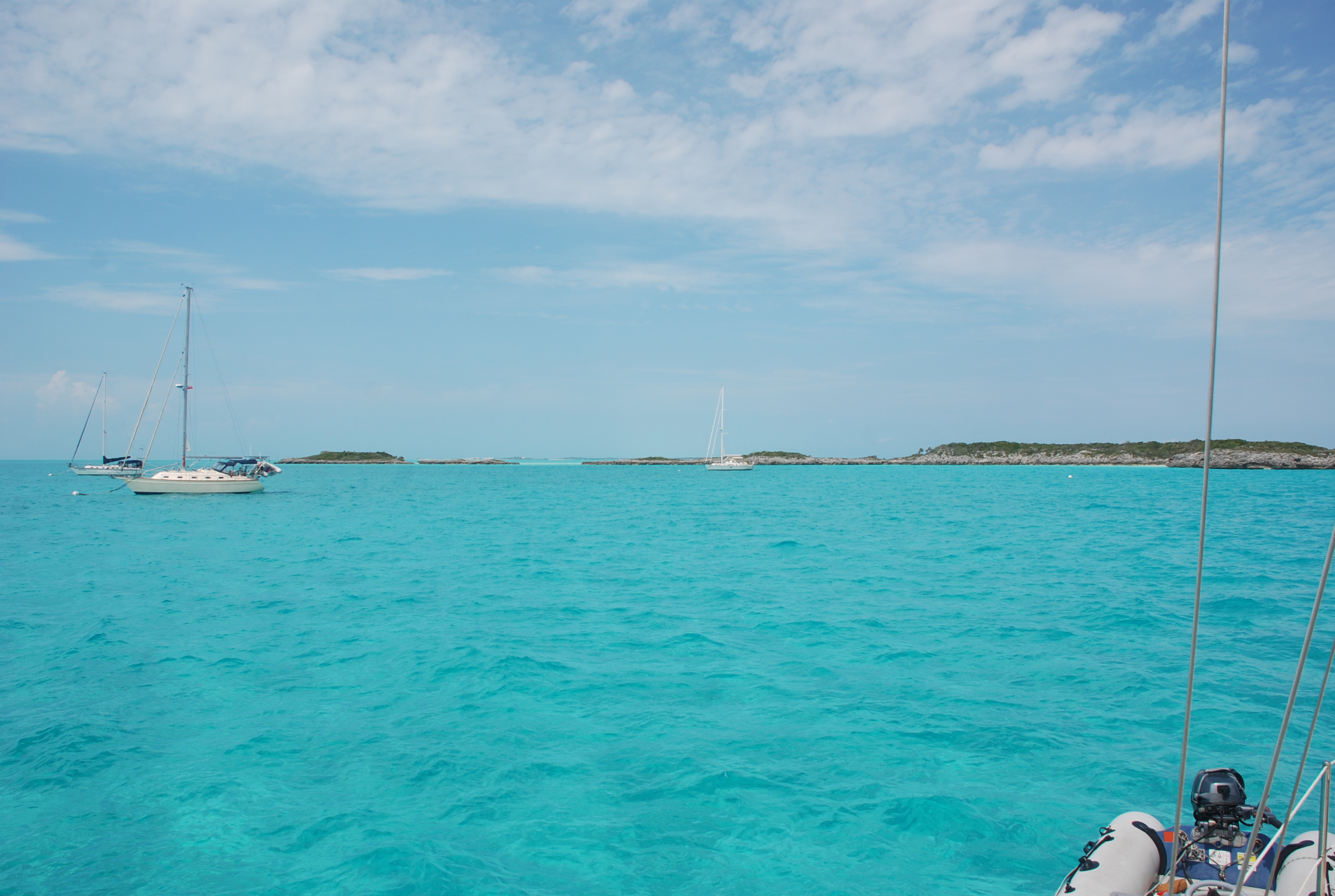
We finally got a weather window long enough to make our way to the Exumas. The forecast was showing winds around 10 knots for a couple of days with 1-2 foot seas, all out of the south, but by noon on the third day it was going to blow up to 20 knots. Since Larry was single handing on At Ease, we knew we needed to stop for periods of rest and break the trip up into 3 days, anchoring on the Bahama Banks by the Northwest Channel on day one, stopping at Palm Cay Marina on New Providence Island for day 2, and then make the Exumas on day 3. The first 2 legs are 75 mile and 12 hour passages, and the last leg is about 45 miles to Normans Island in the Exumas. The plan was to get to Nassau Harbor by 1 PM the second day before the winds started to build, and then wait in Palm Cay Marina a few days until the winds subsided.

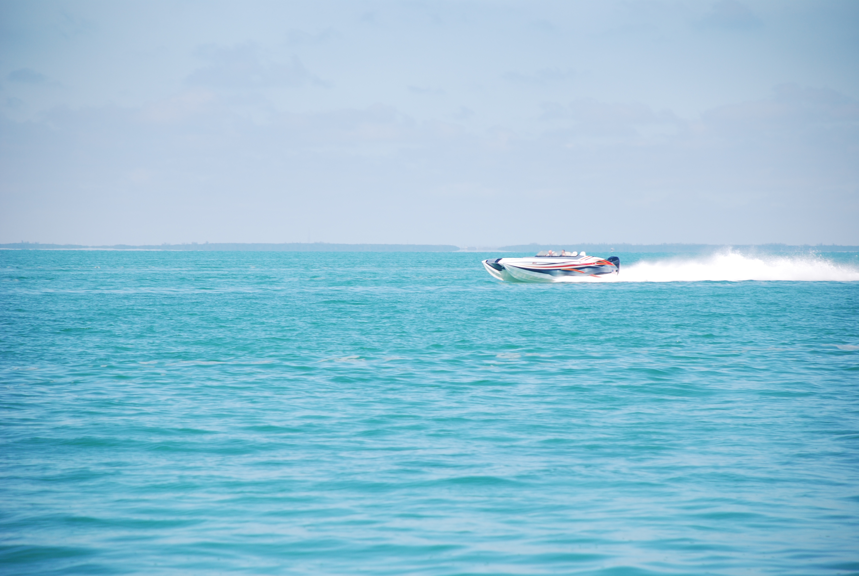
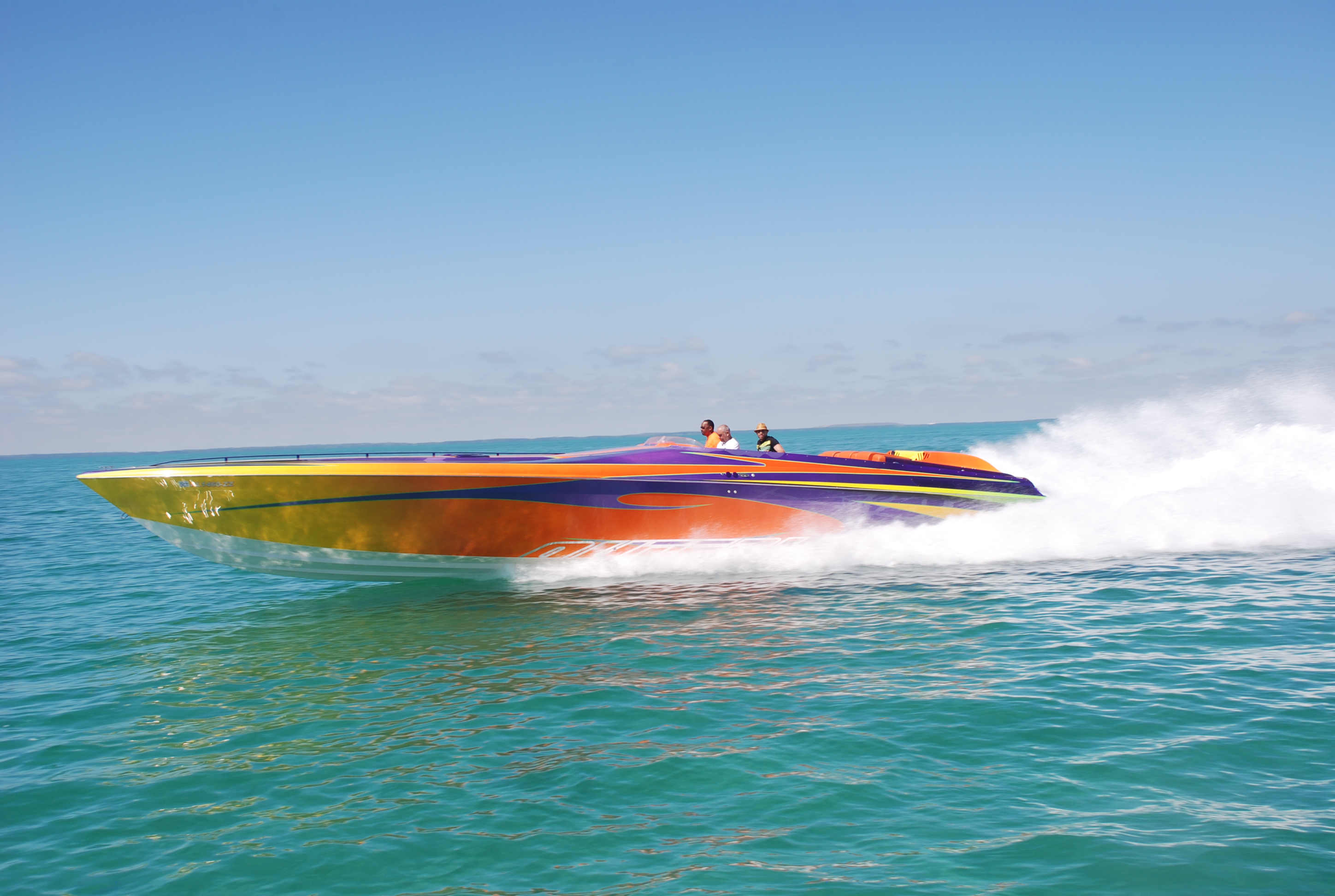
We shoved off on 2/24/19 at about 7:33 AM and headed south to Triangle Rocks to enter the Banks. The seas were really rough, way above the forecast, so we took an hour ass-kicking bashing into them until we got on the Banks where it was on the high side of the forecast. Winds were stronger than forecast, but we could sail so it was comfortable and fast. About 32 miles into the trip, one of the boats started taking on water! We were in the lead and immediately turned around. The three boats drifted as they tried to determine the cause and remedy. After about 30 minutes, they discovered they were not taking any more water on, but needed to get all of the water out before they could continue, which was great because we thought they might be sinking. Water was above the floor boards in the cabin and had covered the drive train, making it impossible to use the motor. Just prior to all this, the winds picked up and the seas built to 3-4 feet, hitting us every 3 seconds…not a fun sea state. Here we are in the middle of nowhere, no other boats, no Coast Guard to help…it was pretty scary. Fortunately they could sail, so we turned back toward Bimini. Cat Cay is on the way back about 20 miles away and we could get assistance there, and maybe make it back to the marina we left in South Bimini, which is what we did. Unfortunately for us, we were going to get to the marina at sunset and also at low tide. There is a rock shelf at the entrance to the marina that carries less than 5 feet at low tide, making it impossible for us to enter. The other 2 boats have a shallower draft and made it in. We motored around in bashing seas for an hour and a half waiting on tide, and by that time it was pitch black. The marina entrance is narrow and surrounded by rock jetties on each side. There is also a short dog leg to the route in. I couldn’t see anything, but I did have a track on my chart plotter that I could follow which was the plan. Unfortunately, when I zoomed into the level I needed, the track would disappear! I radioed Sofia Jeanne and Crabshack H2O (Kurt and Sharon’s new boat) and asked them to lead me in on one of their dinghies. They came out, but we had to abort the first attempt because a fishing boat was coming out of the marina shining a spotlight, blinding me completely. On the second attempt a large swell grabbed the boat at the entrance and pushed us to the right, heading for the rocks, and at the last minute I gunned the engine and pulled out of it, coming really close to a major disaster. We made it in on the second attempt, grabbed a slip, and had several strong cocktails. A really bad and scary day on the water!

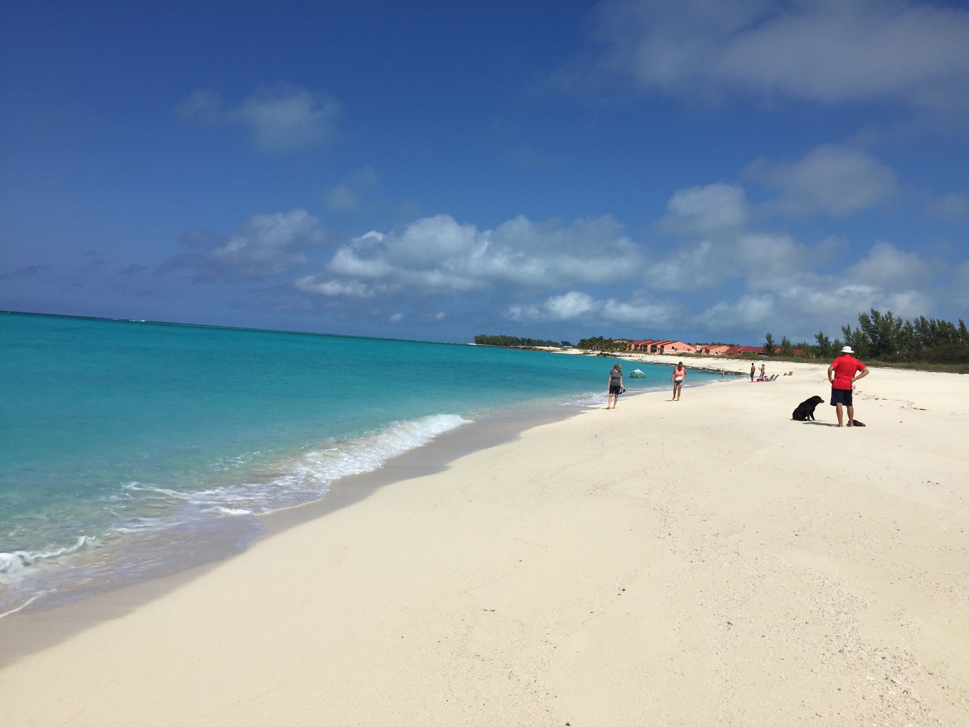
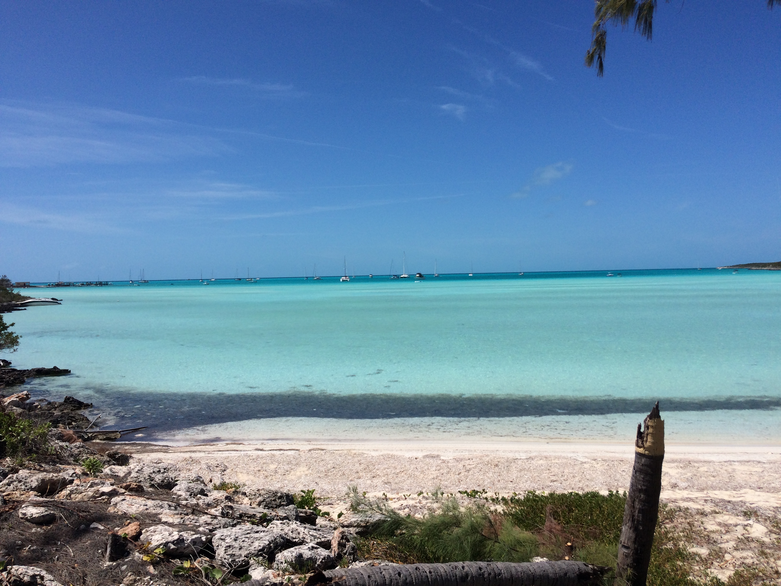
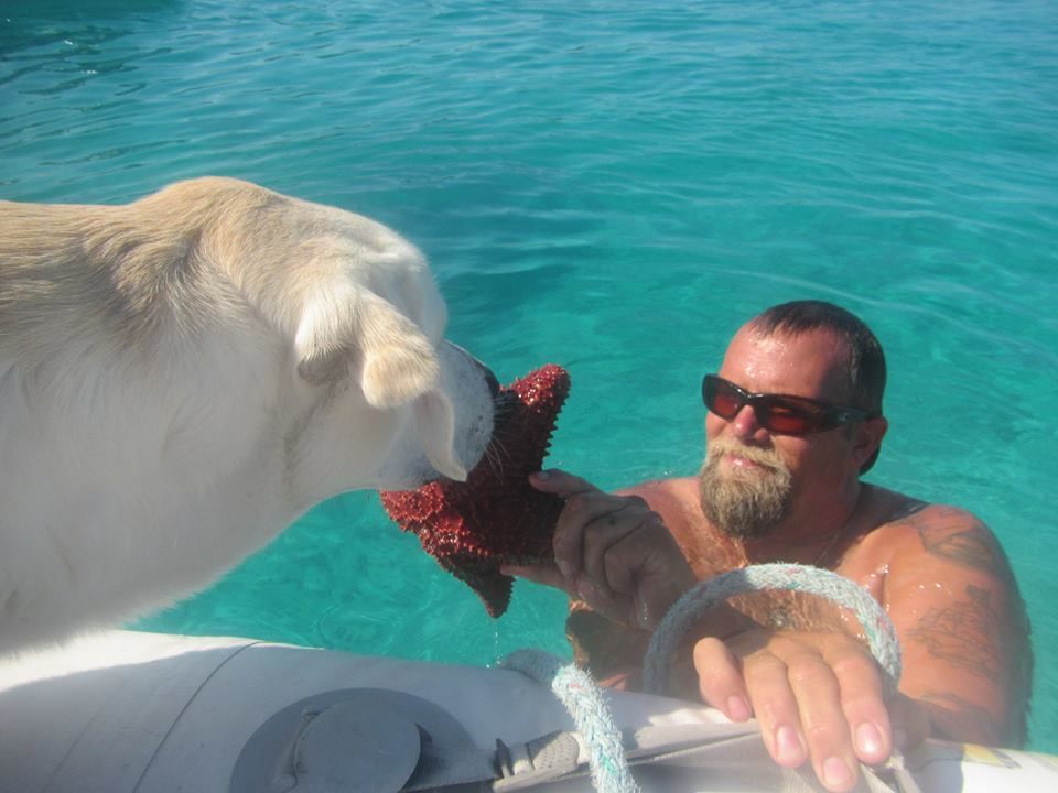
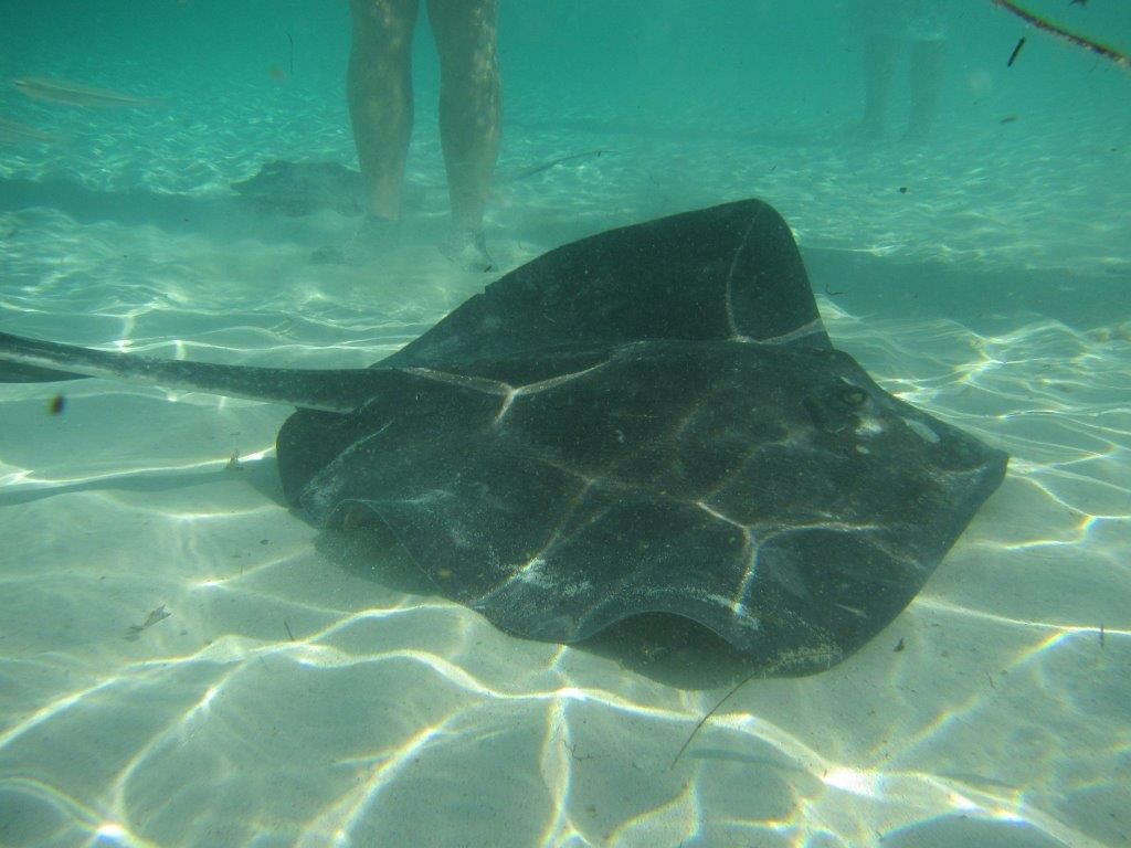
Our next weather window was 4 days later. We patched up the boats and waited. This time we had a 4 day window of light winds and calm seas. We left Bimini on 2/28/19 and went about 10 miles to Honeymoon Harbor, just inside the Banks at Gun Cay. We have anchored here before and it is a cool stop…secluded beach, and this is where the stingrays come up and swim around your feet looking for food (people feed them here). We anchored in position 25 35.015N, 079 17.877W, played with the stingrays and had a very nice evening, happy to have broken the hold of Bimini.

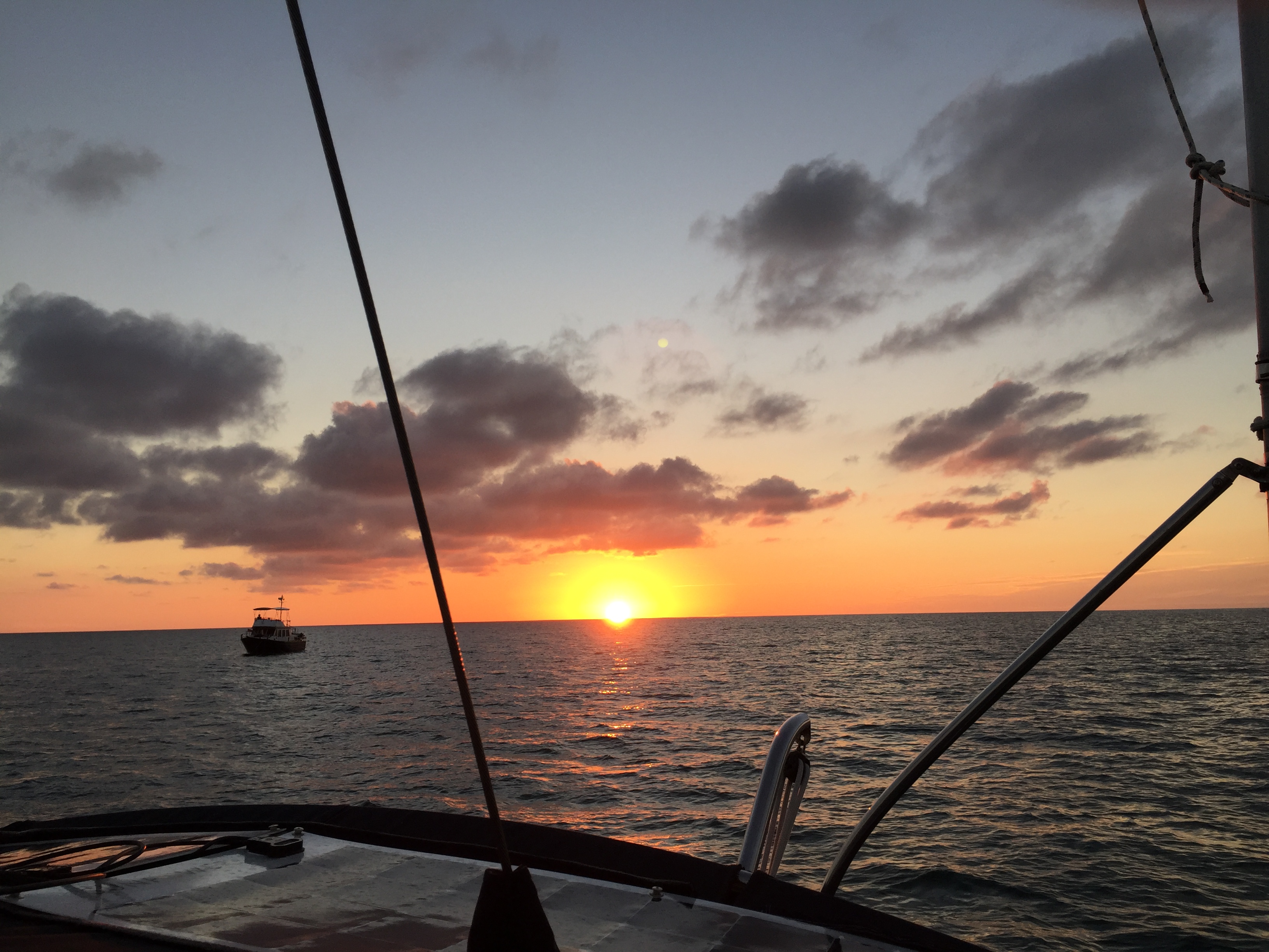
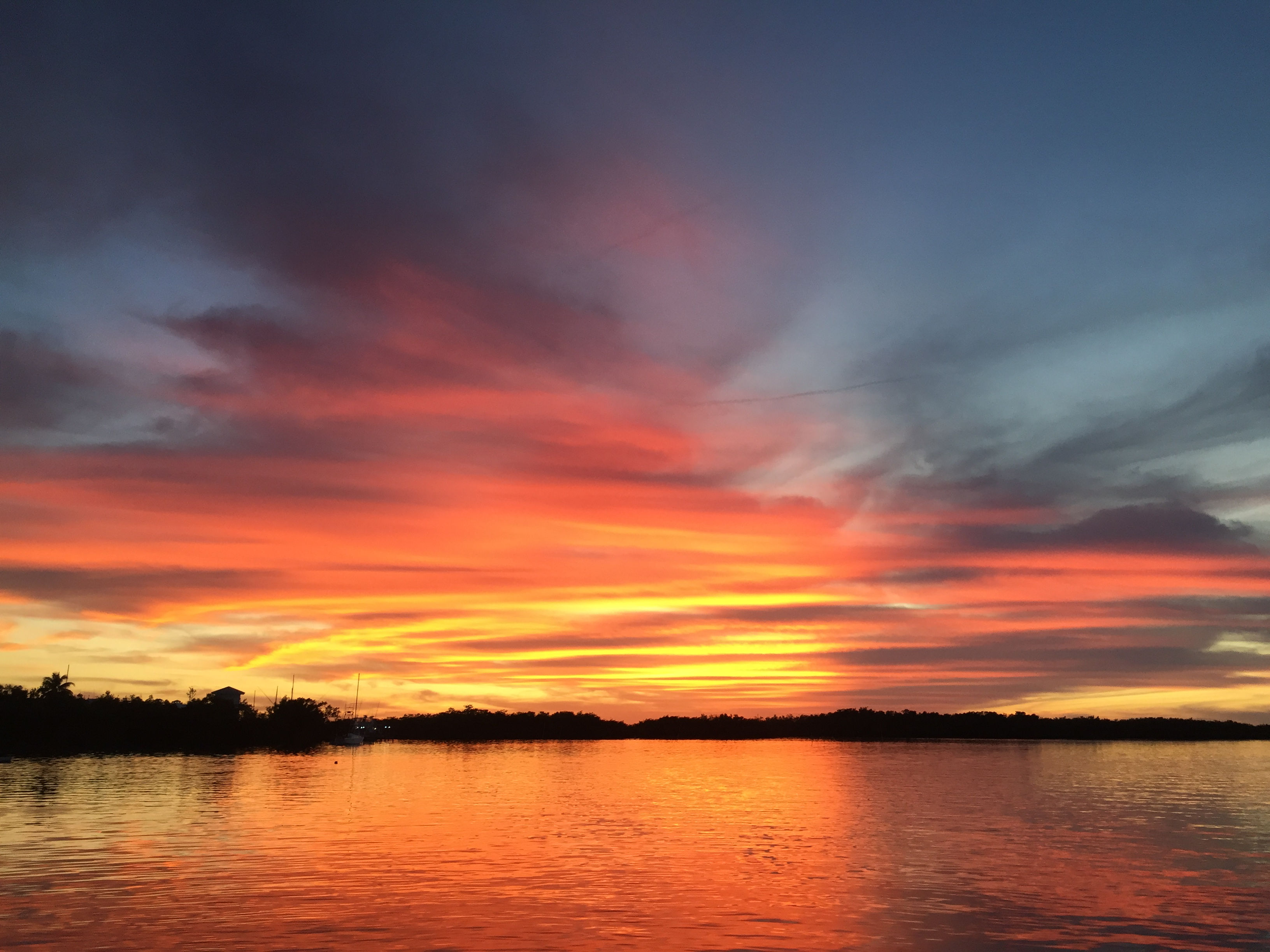
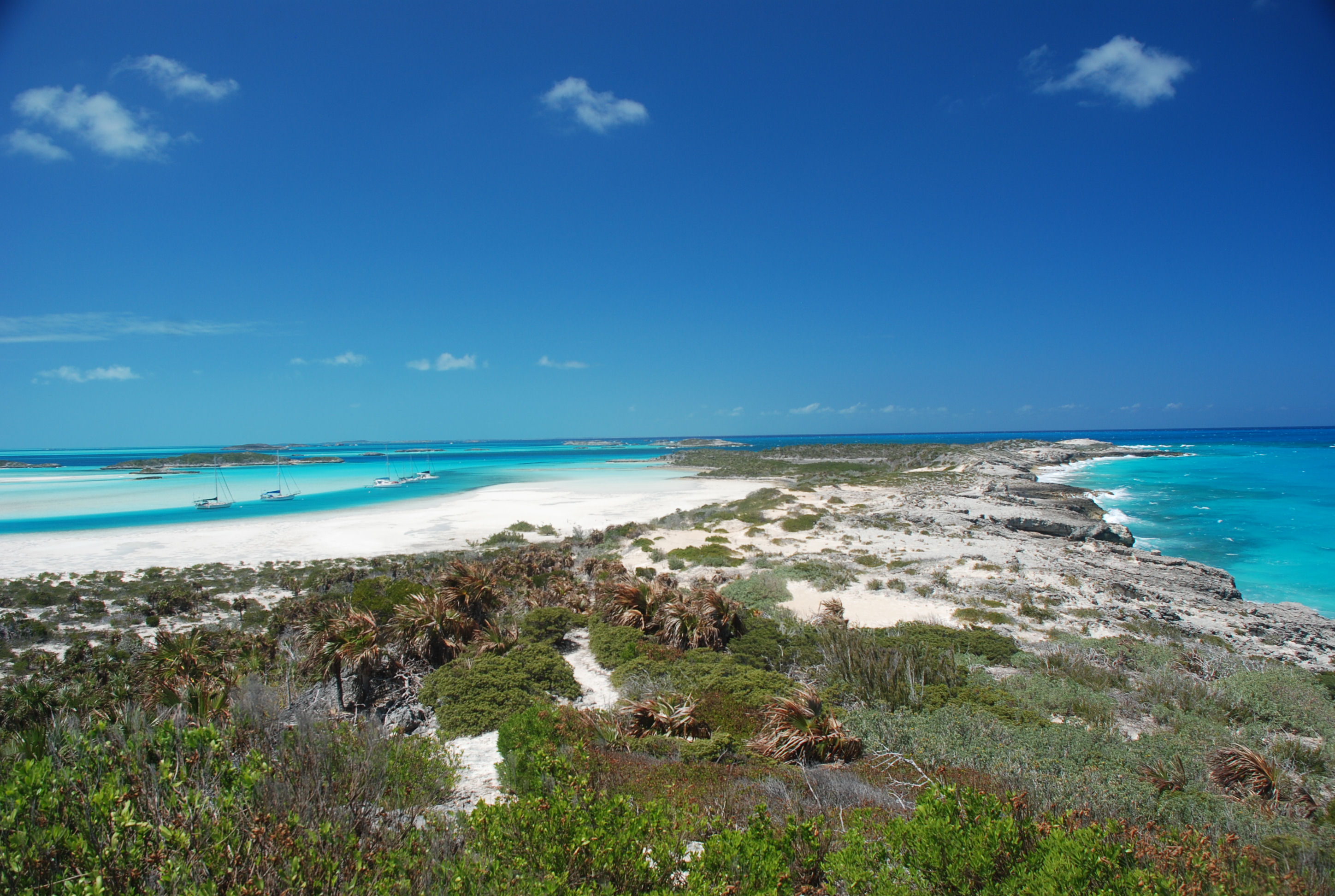
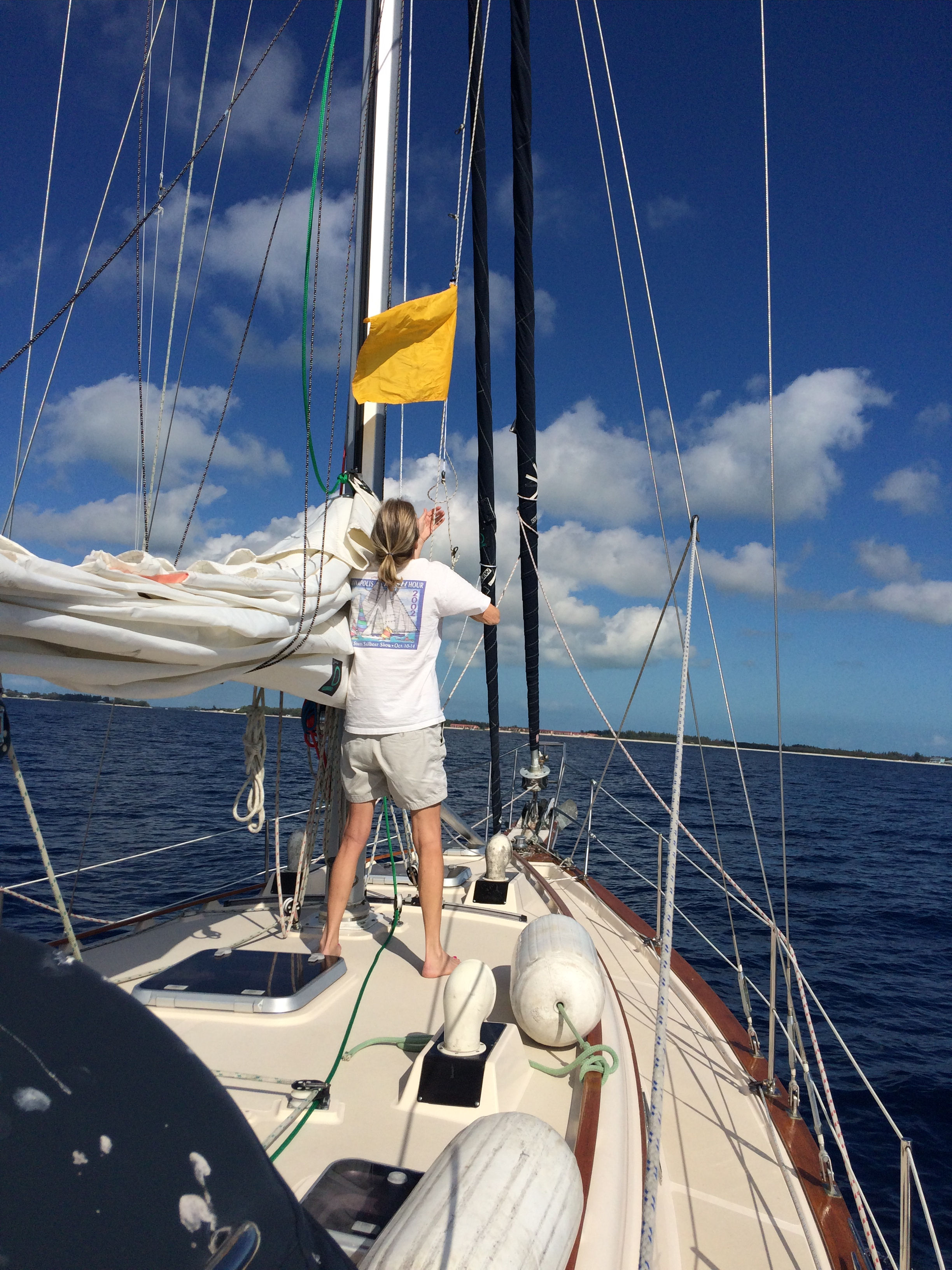
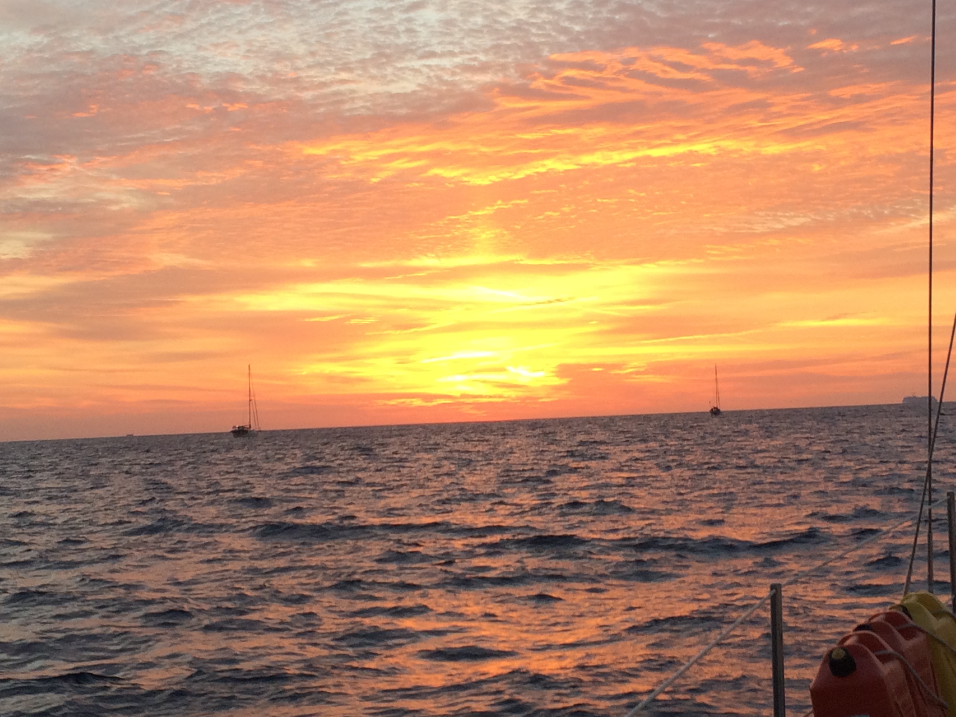
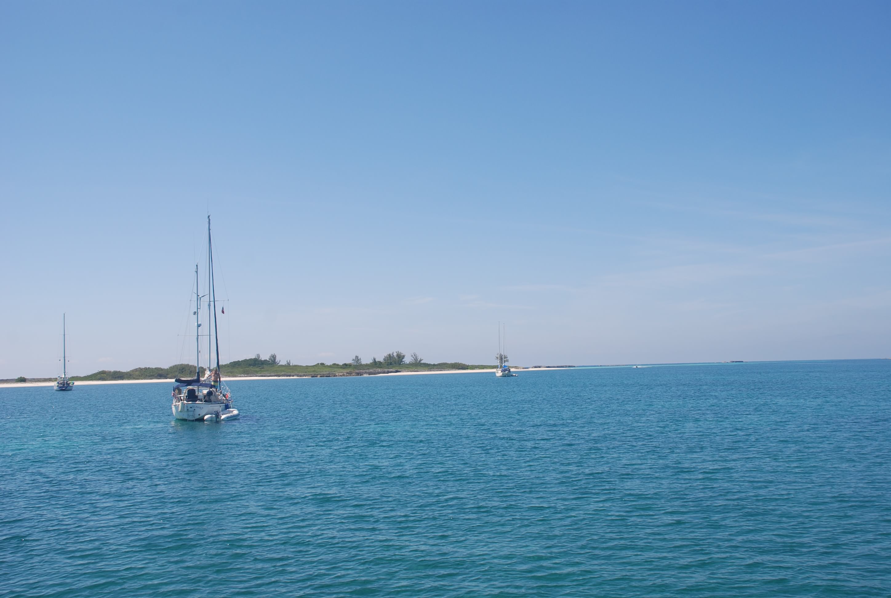
The next day we said goodbye to Kurt and Sharon as they were heading to their condo in the Berry Islands, and we motored 68 miles to the Northwest Channel and got an anchor down behind the Northwest Shoal just before sundown in position 25 31.095N, 078 13.148W. We had dinner and drinks watching the sunset. The winds and waves picked up around 2 AM, making the boat roll and making it difficult to sleep. We had planned to leave at 3 AM so that we could get to the Palm Cay Marina before they close at 5 PM, and we departed at 3 AM. The forecast wasn’t accurate, but it was fairly comfortable motoring into the wind and seas until the last hour and a half, where it got really rough. We made it into Palm Cay Marina at 4 PM, fueled up and topped off water, and got some well needed sleep.

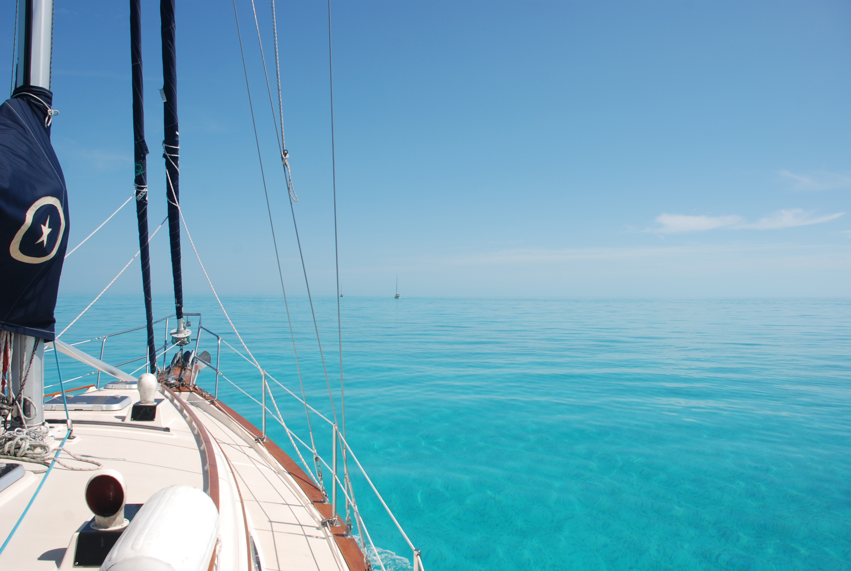
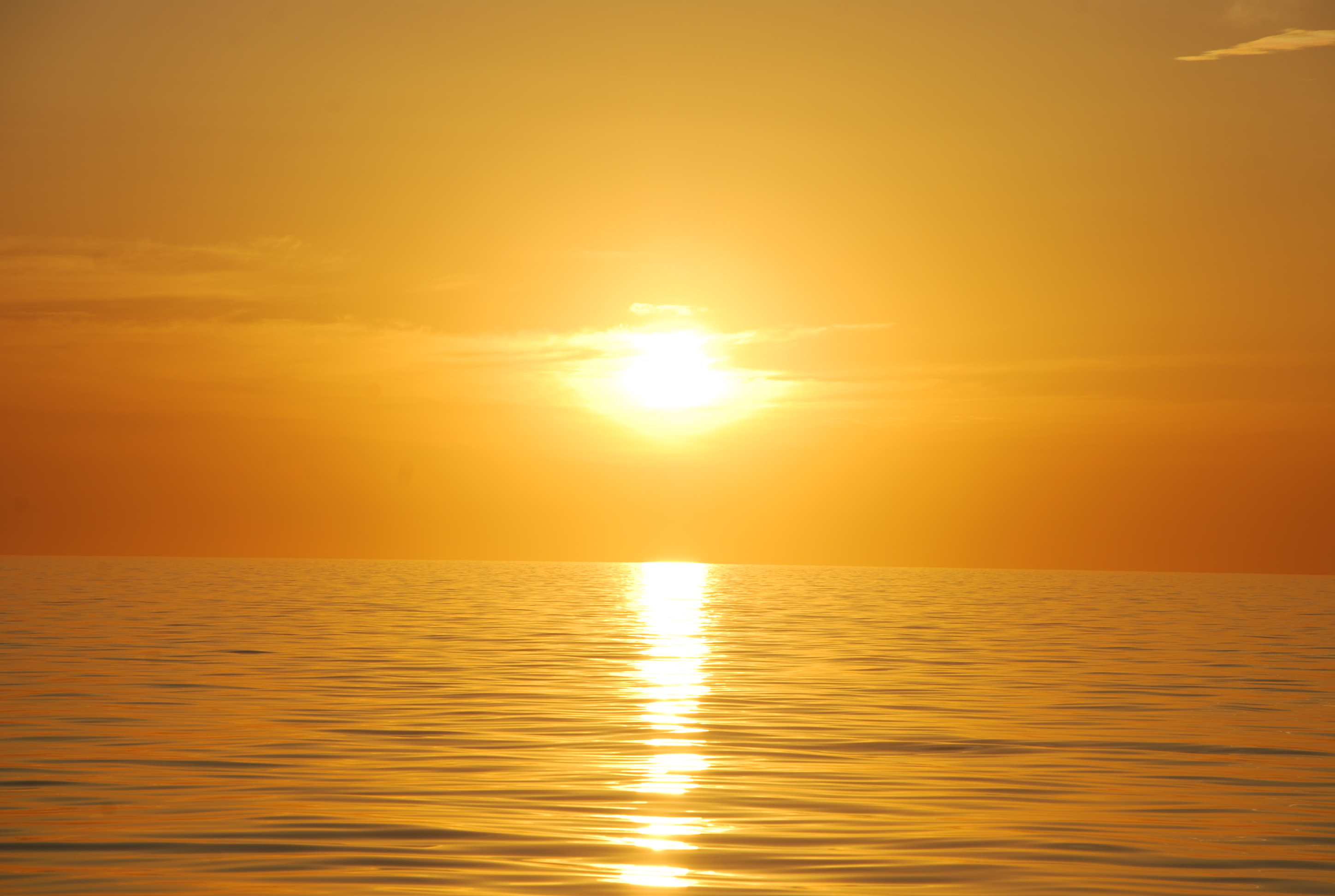
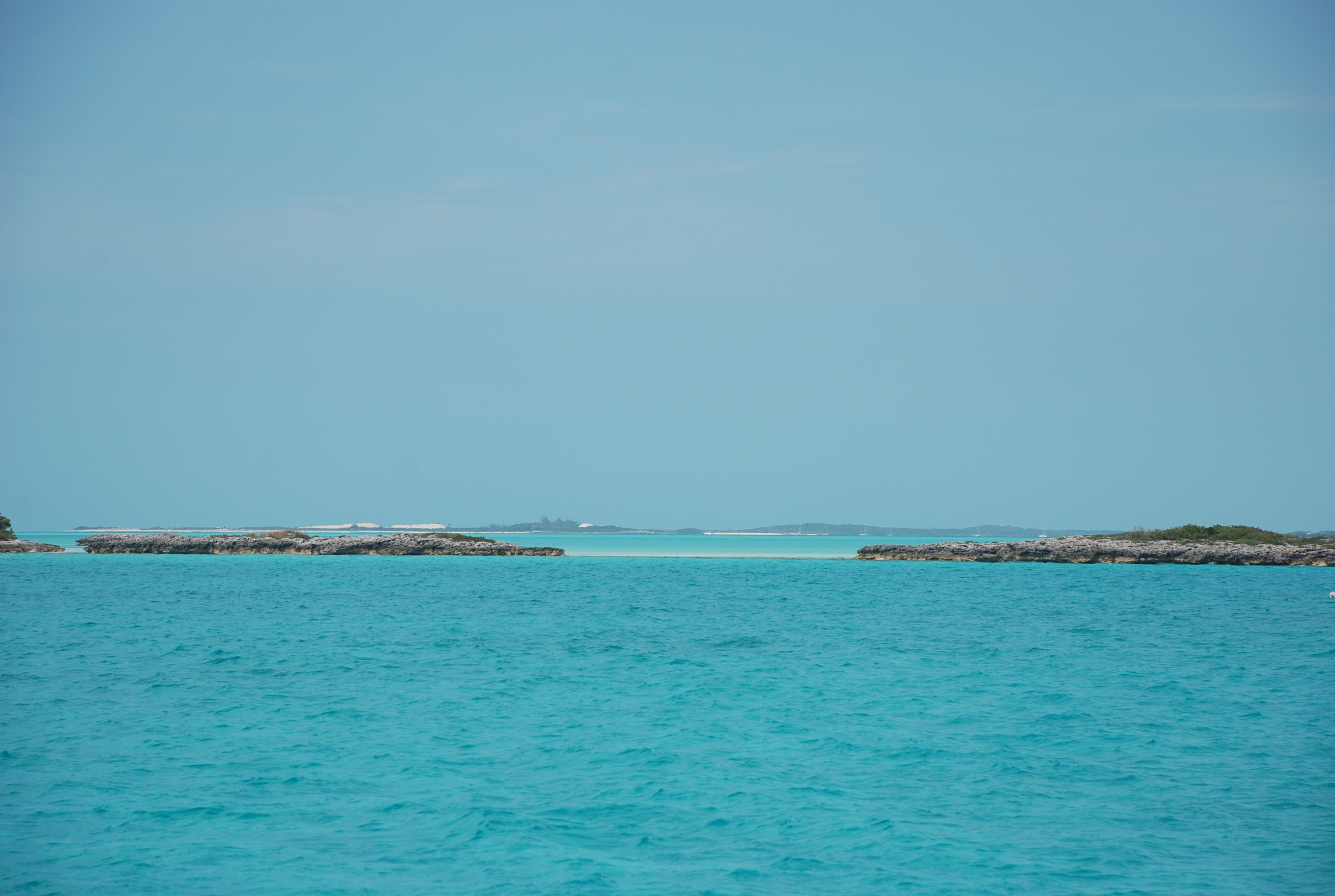
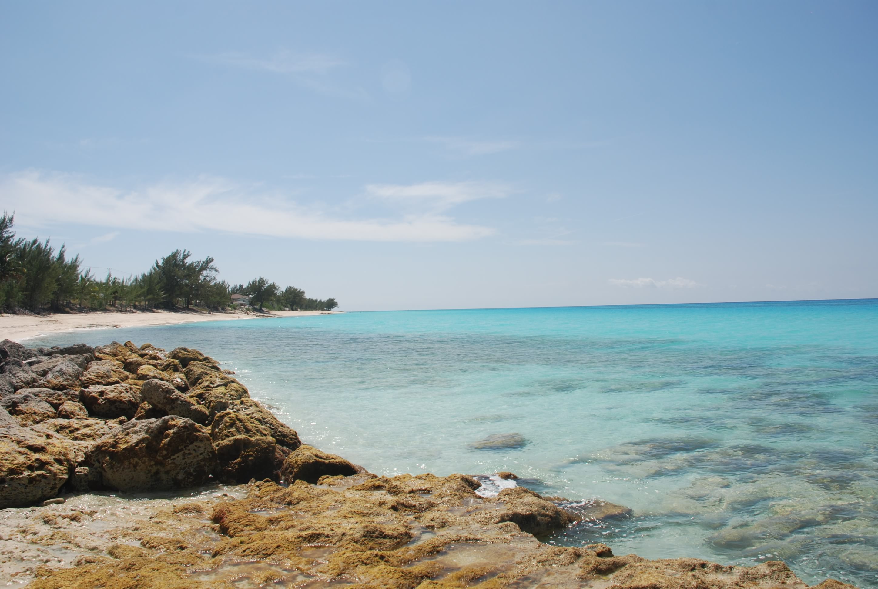
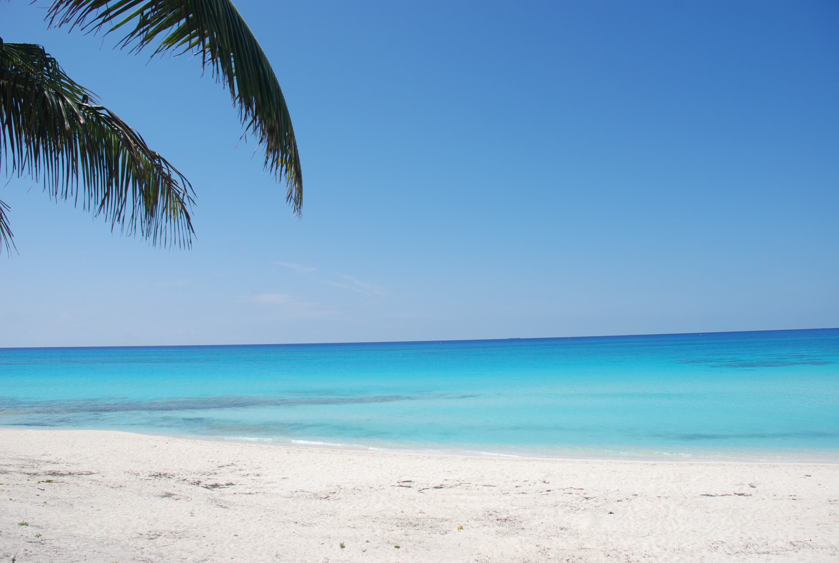
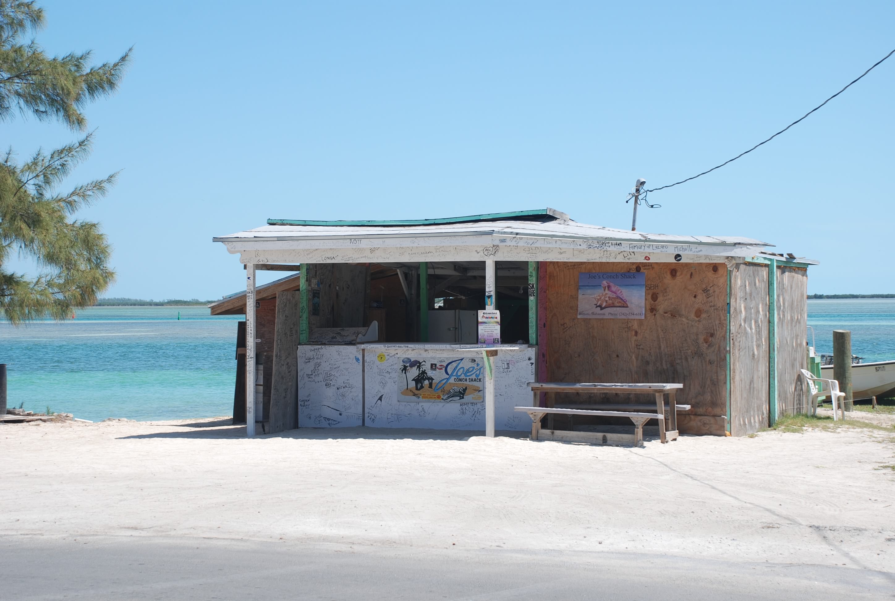
Sunset on the Great Bahama Banks:
IMG_2854

Chillin’ in Bimini

2/21/19
South Bimini, Bahamas
Position: 25 42.539N, 079 17.953W
Posted by Bill
We finally got a decent weather window and broke the hold of Marathon. On 2/15 we departed Boot Key Harbor and went up the inside of the Keys to a favorite anchorage right off of a bar/restaurant in Islamorada called Lorelei. Back when we used to come here via land, this was our favorite bar in the Keys. It used to be primarily a locals hangout, which appealed to us, but they have succumbed to the tourists and it has lost some of its charm. Still good food and a good time, and not a bad happy hour! We anchored in position 24 55.573N, 080 38.153W. The sunset was fantastic that night, but the mosquitoes tore me up!
IMG_2842cmp

The next day we upped anchor and went to Pumpkin Key on the north side of Key Largo, anchoring in position 25 19.801N, 080 17.087W. It was our first time here and it was a nice anchorage. There was nowhere to go ashore which didn’t matter because we had to prepare for crossing the Gulf Stream and Atlantic Ocean to Bimini the next day. It is also right next to Angelfish Creek, which is one of few cuts between the Gulf side and ocean side of the Keys. In the past we had been told that we could not get through there because of our 5 foot draft, but in Marathon we talked to some people that confirmed we could, as long as we had tide to help us. It is a little further from Bimini than Key Biscayne where we usually cross, but we don’t have to fight the Gulf Stream, so we figured it would take the same amount of time. We departed on the 17th. The forecast called for light winds from the south building to 8-12 knots in the afternoon, and 1-2 foot seas which were going to hold as we went further along the route. We took a compass heading of due east which allowed us to actually sail, which is something we rarely get to do!!! The passage started out great, but in the last 1/3rd of the trip the winds built to 15-20 knots and seas 3-4 feet on the beam. If we hadn’t been able to sail, we would have gotten our asses kicked and would have been thrown side to side for 9 hours, but with the sails up our boat is very comfortable and we had a fantastic sail. There was still a mess to clean up down in the cabin from miscellaneous stuff that had been thrown about, but we actually enjoyed this passage.

We didn’t have a weather window to head east until the beginning of the next week so we are hanging out in Bimini. The marina is part of a resort so we have 2 pools and a great beach to enjoy while we wait.
In spite of the many times we have been here, we still marvel at the clarity and color of the water here.
Our second day here, we took the dinghys over to North Bimini to buy a Bahamas SIM card for our phone. Usually you buy one, put it in your phone, and you are good to go with voice and data throughout the Bahamas. Unfortunately, Shirley and I both have new iPhone 6s which we have never used in the Bahamas, and while trying to activate the SIM we got a message that the phone was not unlocked, which was a requirement to activate. After many hours on the phone with Verizon and Apple, and much research the next day via internet, we found out that our model of iPhone is USA only and will not work outside of the States. Here we are, wasting 2 days, with much frustration, trying to get a phone to activate. There was nothing that told us the phones were USA only when we bought them and we are pissed. Fortunately, Shirley had her old iPhone which worked fine with the SIM, and we used ours in Tricia’s phone instead of mine. We usually use mine because of the weather and navigation apps that I use when cruising, but I can hot spot to hers and get what I need.

It was nice to see that North Bimini is cleaning up their act. The other times we were hear there was trash all over the streets and a general attitude of not caring, but things have improved. Hopefully that will help get more tourism here and help the people living here. The next weather window is short, but we are planning to leave here Sunday and travel first to New Providence and Palm Cay Marina, and then to the Exumas as weather permits.

A shot of the marina:
IMG_2848cmp

The beach at the marina:
IMG_2849cmp

Radio Beach on North Bimini:
IMG_2851cmp

Back in the USA

4/28/17
Manatee Pocket, Port Salerno, FL
Position:27 09.267N, 080 11.703W
Posted by Bill

Well…we made it back safely.

Our good friends and traveling partners, Kurt and Sharon on Byrd Ketcher, joined us in South Bimini the day before we left. It was a great reunion and a good time was had by all!! We had a 2 day window of good weather and sea state, and we picked the best sea state forecast. It was supposed to be seas around 2 feet and light winds until the last 1/4th of the trip, and then just over 2 feet with winds in the low teens. We left on 4/26 at first light and had a great passage for 3/4ths of the way…just as forecasted. However, the last three hours sucked bad. For that period we were in the Gulf Stream, which is a 3-4 knot current that runs north. Our one rule that we will never break, “don’t travel the Gulf Stream with any kind of wind with a north component (N, NW, NE)”. The reason is that a wind opposing that strong of a current creates steep, tightly spaced, waves that kick your ass. Winds were supposed to be SE so we thought we were good to go, but they ended up being NE when we got there. We also had a N to NE swell running which was amplified by the NE winds, which were 15-20 knots, and whipped up by the stream. So….once again we had 6 foot BEAM SEAS, short wave period, and steep! You guessed it…ass kicking. It amazes me that we have not be able to count on any forecast data this year. We use 5 different sources and interpolate, but they have all been wrong when we have counted on them.

Needless to say, we made it to the Lake Worth Inlet and ended up anchoring in North Palm Beach at position 26 50.268N, 080 03.326W. We were so beat up and exhausted that we just collapsed on the boat and crashed early. If you are a blog follower, this is the same anchorage that we pulled up the remnants of a house boat with our anchor a few years ago. I was a little nervous this time, but we stayed away from the spot that we anchored before. Yesterday, we went ashore, had a great breakfast and hit the local grocery store. It is always a culture shock coming back to the US from the Bahamas, especially at the grocery store with all of the options available, and fresh produce. Just to give you a general idea, you go from this:DSC_0439 cmp

To this:DSC_0241 cmp

Yesterday we motored the ICW to Port Salerno, and Manatee Pocket. We enjoyed dinner and drinks at the Twisted Tuna. It was fun, and nice to have the options and prices that the US offers at its restaurants. Here is a shot of the anchorage:DSC_0053

We are starting the trek back up to Southport, and expect to be there before Memorial Day weekend.

Another round of ass kicking

4/23/17
South Bimini, Bahamas
Posted by Bill

We really love cruising in the Bahamas. Our favorite place to be so far is the Exumas. When we originally set sail 3 years ago, we thought we would do the Bahamas and the Keys and then work our way through the Caribbean. We have chartered boats in the Virgin Islands several times and also flown to many other places in the Caribbean for vacations over the years, so we had a pretty good idea of what we were getting into. Once we got to the Bahamas, we realized that there is no need for us to go further, and we may not…we shall see. The Exumas are beautiful and you can find seclusion. You can also find food, trash disposal, fuel, and visit some small towns to eat out and/or check out the culture. The biggest problem we have dealt with is the weather. The first year was not as bad as the last 2, which have really made it difficult to see and do all of the things we wanted. We get pinned down by weather for 5-10 days, have a couple of days to move to another place, only to prepare for another 5-10 days of bad weather. By bad weather, I am talking mostly winds and the resulting sea state. We are not fans of getting rocked and rolled for days at a time, and unfortunately, you find you are getting your ass kicked while underway and at anchor. After awhile, it just gets to us. This year my new cruising goal was “not to get my ass kicked”. Sometimes that means you have to sit somewhere for a long time. I know that this is just part of the deal, and I would not trade our experiences if I had it to do over again. We feel so fortunate to have seen the world like this. If you are thinking about going cruising, just know that this is a major pain in the butt, and some people go back to dirt dwelling because of it.

There seems to be more mega-yachts, boats in the 150-250 foot range, in the Exumas. Most of them appear to be chartered. The typical passengers are not cruising savvy, which means, they don’t understand common courtesy or respect, for other boaters or for nature. They congregate in certain spots that have become tourist attractions, and are essentially ruining the experience for everyone else. The Bahamians naturally cater to this crowd because most of their livelihood is dependent on tourism. Passengers are rude, arrogant, with a “we own the Exumas” mentality. We will not go back to some of these places because of it. The mega-rich are also buying cays or islands, and making them private. Fortunately, the law through all of the Bahamas is that 50 feet above the high tide line on all beaches are public property, so you can still enjoy the beach and water. From what we have read and heard, the privatization of the cays is changing the culture and feel of the area, and not for the better. One of the cool things that we noticed at some of the settlements like Blackpoint, is that you see the children outside playing…swimming, riding bikes, and having the same kind of fun we did as kids. You don’t see them consumed in the world of electronics like kids in the States are. They are out interacting with everyone in the streets. There is also no need to worry about their safety besides drowning or something like that. There is no crime. It was an interesting contrast. Traveling with Matt and Shirley, Grady (their white lab) is always an attraction wherever we go, especially with the kids. You don’t see many large dogs in the islands, and all of the kids want to pet him and walk him. They all asked “does he bite?” first thing upon seeing him!

Back to the weather….we got pinned down in Spanish Wells for 16 days, and for most of the time we had winds over 20 knots and open water seas to 9 feet. Spanish Wells is one of our favorite towns in the Bahamas, so there could be worse places to get stuck. We ate at Budda’s often and also wallowed at the beach on the west end of town. We also read a lot. Several times it looked like a weather window was opening up, only to slam shut. Some of the locals made comments about how bad the weather was, how long it was lasting, and how abnormal this was. We chose to abandon our plans to go through the Abacos and started looking at windows to cross the Gulf Stream back to the States, figuring we would take our time going back up the coast to Southport and enjoy some of our favorite spots along the east coast. This approach led to a plan to make passage to South Bimini, and cross to West Palm Beach. A couple of crossing weather windows came and went in the course of a week, and finally we saw one for April 25th through the 27th. Unfortunately, most routes from Spanish Wells to Bimini were 2 day hops, and we settled in on a direct route in an overnight passage. Even with an overnighter, we had to get to Bimini before the 25th and there wasn’t a very comfortable passage in the forecast to get us there. We opted to leave at dawn on the 21st and arrived in South Bimini 24 hours later, 6 hours ahead of schedule. The reason we were so far ahead of schedule is because the winds were higher than forecasted and we had good sailing. The bad part is that the sea state was not anywhere close to the forecast. After weeks of high winds, the seas didn’t have much time to settle, and to top it off, we had to go across an area where 3 oceanic bodies of water meet: the open Atlantic, the Tongue of The Ocean, and the Northwest Passage. To make matters worse, this area is thousands of feet deep, and the water goes from thousands of feet to 20 feet in ¼ mile of where it meets any land. You might be able to imagine the sea state that this creates even when there is no wind. In the middle of where all of these waters meet, we encountered very steep 6 foot seas coming from almost every direction at once, lasting for hours. It was miserable at best. Matt and Shirley had waves breaking into the dinghy hanging on the back of the boat. The bottom line is that we made it…yay…and nothing broke, and no one was injured. When we arrived in South Bimini, we slept, took a walk on the beach, and sat by the pool for the afternoon. Everyone was exhausted. Today it is raining and we are chilling on the boats. As of today, it looks like the best crossing weather is going to be Wednesday, so we are planning to depart then. These weather windows are usually very short, and they change more often than not, so you have to take the first good day you get, or you could be sitting for weeks at a time again.

We had hoped to spend more time in the Bahamas, but we are anxious to get back to the States as well, especially with tropical storm systems starting to develop in the Atlantic already. We certainly don’t want to weather those out here in the Bahamas.

Back in ‘da Islands mon

2/27/17
South Bimini, Bimini Islands, Bahamas
Position: 25 42.634N, 079 17.984W
Posted by Bill

We left Marathon on the 23rd and cruised up to Tarpon Basin (Key Largo area). We had good wind and wind direction, and got to turn off the motor and sail a good portion of it. As we neared the entrance to Tarpon Basin we had a visitor swim right beside us for about 15 minutes:
IMG_2909 cmp
We love it when they do that! We anchored in position 25 07.174N, 080 25.849W and enjoyed a quiet evening.

The next day we were up at dawn and cruised up Biscayne Bay to No Name Harbor on Key Biscayne. It is a convenient departure point to the Bahamas with close and deep access to the ocean. It is not a very big harbor and gets really crowded with Miami locals on the weekends. Since it was a Friday, we didn’t expect to get into the harbor and figured we would be anchoring outside the entrance. We had just enough room to get all 3 boats inside, and we all got together for dinner on Sofia Jeanne. Our anchored position was 24 40.633N, 080 09.821W. The forecast called for light winds and a 2-3 foot swell from the north, caused by a low pressure system off the Carolinas. The wave period (time between waves) was supposed to be 9-10 seconds, so we figured the swell would be tolerable even though it was hitting us on the beam, which makes our boat roll unless we are sailing. Along the way from Tarpon Basin, we ran into some 30 speed boats that were participating in a race from Miami to Key West. They came in groups, sometimes with long time periods between groups. Here is a picture of one that passed us in Key Biscayne:
DSC_0045
DSC_0050
They were moving at around 70 MPH, maybe more. We intersected a large group of about 30 of them in a channel that is 3 boat widths wide. The channel is lined with mangrove trees and has several blind curves. We have often encountered small fishing boats sitting in the middle of the channel fishing. These guys came by a full speed, about 15 feet from our port side, water spraying us…one right after another! I couldn’t believe that they didn’t slow down, especially in the blind curves. It is a miracle that they didn’t hit anyone, and fortunately there were no fishing boats in the middle!

Saturday, we woke before first light so that we could leave as soon as we could see. Unfortunately, we had dense fog, which wasn’t supposed to lift until 9 AM. We waited until we had a little daylight, and decided we could still depart. There were several sport fishing boats that passed us in the channel at full speed, which was nuts! After we got into the ocean, the fog started to lift and we increased our speed. The trip started out pretty calm, but quickly became 3-4 foot beam swells with occasional 5 footers, and a 6 second period. That lasted most of the trip. Sofia Jeanne and Byrd Ketcher seemed to be taking the swells much better than us. I think it is a function of boat design, and ours is very susceptible to rolling side to side in a beam sea. We were getting thrown from one side to another and I could hear stuff being tossed around in the storage lockers below in the cabin. I tried going slower (which was way worse), faster, different angles to the seas, using sails (which didn’t work because there was very little wind), all to no avail. I finally found a speed that minimized the effect, but it was a miserable passage. We will NEVER again travel in beam seas like that unless there is enough wind to put up sails (the boat does not have the roll problem under sail). After 9 hours we arrived at South Bimini and pulled into the marina at Bimini Sands Resort. Here is Tricia hoisting our Q flag as we approached the island (island in the background):
IMG_2931 cmp
When visiting a foreign country, it is protocol to fly the Q (meaning quarantine) from the starboard side of the boat, until you clear customs. You then fly the country flat in place of the Q. We took a taxi to the airport and cleared customs, and came back to the boat, all of us getting together for dinner. This is a really nice marina by Bahamian standards, and we enjoyed the beach and infinity pool yesterday. I’ll post some more about it in the next days. We are waiting out weather until Wednesday, and will then depart to move east…either the Exuma Cays, or the Berry Islands, depending on weather.

Last day at Black Point

3/13/16
Black Point Settlement, Exuma, Bahamas
Posted by Bill

Today we went into town for a walk, walking out of town to a spot called the Garden of Eden. We expected a nice garden of some sorts, and it turned out to be a bunch of driftwood and shells.
IMG_2107
Oh well…it was really hot so we decided to wallow along the wide beach area.
IMG_2100

Then we went to dinner at Loraine’s Café. They didn’t really have a menu, but just told you what was available. You didn’t know the price until it was time to check out. The food was really good and Loraine is a really nice person.
IMG_2102

Police Station:
IMG_2104

Tomorrow we transit the ocean to Georgetown.

From Bimini, through Nassau, to the Exumas

3/2/16
Shroud Cay, Exumas, Bahamas
Position: 24 31.933N, 076 47.884W
Posted by Bill

I’ll give you one guess what we did in our first full day in the Bahamas….work on the boat. The marina here at Bimini Sands is really nice. Nice floating docks, nice pools, and a really nice beach. It is very secluded…there is hardly anyone here. The showers and rest rooms leave a bit to be desired, but they are good by Bahamian standards. The people here are extremely nice. The one bad thing is the no-see-ums! They are terrible and are always active, day and night. We quickly closed up the boat and paid for shore power to run the air conditioning. In typical cruising style, the main air conditioning unit, the one I just replaced started but wouldn’t restart. The smaller unit wouldn’t drain the condensate. Curses!! After messing around with things a bit, Tricia figured out that the drain tube from the smaller unit had an air lock from being too far down in the bilge, and viola it started draining after she moved it up! I figured that the larger unit had blown a fuse again, so pulled everything out of storage in that area of the boat, removed the electrical box for the unit, opened it up and replaced the fuse. That got it working. Next I changed the fuel filter, and after that we were going to launch the dinghies and ride up to the Bimini Roads dive site to snorkel. It is a cool dive site that has rocks laid out like someone build a road under water. We got the engine back on the dinghy, and just as I was going to unhook all of the lines, I noticed water in the dinghy. Sure enough we had a significant leak…not good!!! This is our “car” while cruising and is essential to explore the Bahamas. We sent the other boats off, pulled the engine off again, pulled the dinghy out of the water on to the dock and found that the transom seal was pulled loose and the transom was rotting. We dried it out and put some epoxy on. While we waited for that to dry, we went and drank rum by the infinity pool that overlooks the ocean…nice. Then we came back and sealed the seam back up. We purchased lobster tails from a local guy who had a connection, 12 tails for $40, and that night we had a major pig out on Mark and Jan’s boat, and drank mass quantities of vodka.

The next day, yesterday, I checked the dinghy and it still has a really small leak, something we can deal with. I just hope it doesn’t get worse. We fueled up and headed out to sea around 11 AM. We sailed 29 hours straight, going across the Bahama banks, through Nassau harbor, and over to the Exuma chain of islands, stopping at Shroud Cay. The passage was pretty much uneventful, with the exception that we almost ran into the back of another boat. Passages at night require a visual check about every 20 minutes to see if there is anything in your path. There were a couple of boats moving in our same route and several boats anchored off of the beaten path, and after the moving boats passed, we sat down to dinner in the cockpit. Just as we finished up, I noticed a dinghy right next to our boat…then I saw that it was attached to a 30 something foot sailboat. We were overtaking the boat and it was no more than 30 feet from our port side. The guy in the cockpit says “good evening”. I tell him he needs to put some lights on. His stern light didn’t work and neither did his red bow light. Coming up on him, you couldn’t see him at all. We are so lucky we didn’t hit him!! During the day, the wind was so calm that the water was like a sheet of glass, and so clear that you could see starfish on the bottom.

Shroud is the northern part of the Exuma Land and Sea Park, which is a large protected nature preserve in the Exumas. We intend to do some wallowing and exploring here for a day and then move on to Warderick Wells, the central part of the park.

Bimini Sands:
DSC_0007
DSC_0005
DSC_0006

Crossing the Bahama Banks:
DSC_0011
DSC_0016

Sunset during passage:
DSC_0020

Sunrise during passage, with buddy boats Island Bound and Sea Lyon in the foreground:
IMG_2045

Nassau Harbor:
DSC_0062
DSC_0069
DSC_0079
DSC_0085

Our anchorage at Shroud Cay:
DSC_0100
DSC_0102

A safe voyage to Bimini

2/29/16
Bimini Sands Marina, South Bimini, Bahamas
Position: 25 42.602N, 079 17.947W
Posted by Bill

Finally a last minute window of weather…and we are up and moving at 6 AM. Once in the Atlantic Ocean, we took a 120 degree magnetic heading. You have to head south east to correct for the Gulf Stream current, which can be as high as 3.5 knots. We use an average of 2.5 knots to calculate the correction. The winds were as forecasted and mostly around 10 knots. The seas were really rough for the first couple of hours and very uncomfortable, mostly 3-4 footers every 4 seconds, and hitting us on the beam (side of the boat) which caused an uncomfortable roll. After the first few hours, the seas calmed enough to ease the boat motion and we put up a scrap of sail which also helped some. We held the 120 degree heading until we were about an hour from landfall and we didn’t have to back track south at all, and were in fact south of our target, so we rode the current for the last hour. Yay!! We pulled into Bimini Sands Marina on South Bimini around 2:45 in the afternoon, cleared customs at the airport after a short taxi ride, and went to the beach club restaurant here at Bimini Sands Resort for dinner.

This is a nice place, especially for Bahamian marina standards. They have really nice floating docks and the marina is well protected. The water around the docks looks like a fish aquarium, clear as one, and full of tropical fish.

The weather for the next week looks very settled (finally) so we will get our boats in order tomorrow and head out the next day for Nassau, then on to the Exuma island chain.

The internet connection here is so slow that I could not post pictures. I’ll get some posted when I find a better connection, or when our Bahamas phone has the cellular data activated.

On to Gun Cay and Cat Cay

3/18/15
Gun Cay, Bahamas
Position: 25 34.99N, 079 17.805W
Posted by Bill

DSC_0156
Yesterday we hit up Radio Beach again, looking for more sea glass and sea beans. Sea beans are things that look like small stones but are beans that float over from across the Atlantic. They come in several distinct shapes, purse beans that look like a purse, hamburger beans that look like a hamburger, heart beans, and kidney shaped beans. The heart beans are rare and Tricia found one on her second day on the beach! We then jumped in the dinghies and all cruised up the inside of North Bimini (the eastern side and also the channel) to check out the north end where the casino was built. There is also a really nice marina and condos that can be rented. We talked to some people that said you could rent a 2 bedroom condo for $250 a night…pretty good deal. Along the way we saw a sea star in the water.
11022586_1477983855784519_1932948887425266697_n
10407061_1477983809117857_7143146278909322899_n
It had a very hard exterior.

Then we went out for dinner for our last night at North Bimini.

Today we left about mid morning and motored a couple of hours south to Gun Cay and Cat Cay. We anchored off of Gun Cay and went ashore to a beach called Honeymoon Beach. It was beautiful.

Along the southern point we had sting rays come right up to us and swim around our feet, touching our legs and feet.
DSC_0239
Facebook-20150320-101231
Facebook-20150320-101256
Very cool. We also saw a shark swim by. We staged here to cross the Great Bahama Banks, the shallows that stretch across a good portion of the islands. Here was the sunset:
DSC_0217

More on the crossing and North Bimini

3/16/15
Bimini, Bahamas – Blue Water Marina
Position: 25 43.492N, 079 17.865W
Posted by Bill

I finally got some time to devote to the blog. We crossed over the Atlantic Ocean on the 15th. We started at around 7:30 AM and went from just outside No Name Harbor on Key Biscayne. The Gulf Stream current runs north between 1 and 3 knots, weaker on the edges and stronger in the middle. The direct route from where we started to North Bimini in the Bahamas is about an 87 degree heading and less than 55 nautical miles. To compensate for the Gulf Stream, you need to take a heading of 120 degrees. This is calculated based on your planned speed which we assumed would be 6 knots average. The stream was so strong, we only did around 5 knots, so we ended up a bit north of where we wanted to be, but not too bad. Also, it took us all day (arriving around 5:30 PM) to go 55 miles…long day! The ocean was really calm, thank goodness!

North Bimini was an interesting place. From our marina we could walk about 100 yards over to Radio Beach, which was gorgeous.
DSC_0205
DSC_0199
We walked the beach and collected sea glass, glass pieces that resulted from trash and get smoothed over by the sea. We got some pretty cool pieces. Not sure what we will do with them, but we have read where people make Christmas ornaments or jewelry. Tricia was thinking about making stepping stones or a counter top with it when we become dirt dwellers again…pretty good idea!

The restaurants, shops, bars and grocery stores are in buildings that look like or are small homes. There is not much to choose from in the grocery stores. Most of the businesses and restaurants are within a 5 to 10 minute walk. We ate at a restaurant called The Anchorage when we got here yesterday, and it was pretty good. We had the cracked conch which is conch fried like calamari would be back home. It was pretty good. Today we had lunch at CJs Deli which is right on Radio Beach. You can see that the view is amazing. The food was ok. The flies are really bad though! I got my food and went out to sit at the picnic table and a swarm of flies descended on me like a plague! I had to stand down by the ocean to keep away from them. Here are some pics of the streets:
DSC_0160
DSC_0179
DSC_0181
DSC_0182
DSC_0184
DSC_0185
DSC_0192
DSC_0193
DSC_0159

There is a lot of trash in the streets and you get the impression that the people of Bimini have given up to some extent. Many of the people we talked to that have been coming there for years have told us that it didn’t used to be that way, and that it has gone far down hill.

In the afternoon, all of us jumped in our dinghies and went over to Radio Beach. There we snorkeled around the rocks and swam. We saw quite a few fish around the rocks. The dogs, Grady and Bart, had a blast as well. The water clarity is just like a swimming pool…amazing. We ran into a guy on the street by the marina that was selling stone crab claws and lobster tails. For $40 we got a bag of 6 lobster tails and close to 3 dozen crab claws! Each couple bought a bag. An incredible deal! We cooked some of that up for dinner and ate at a picnic table at the marina, drank and had a good time.

It was a really fun day!