Monthly Archives: March 2016

Working our way to Spanish Wells

3/29/16
Spanish Wells, Eleuthera, Bahamas
Position: 25 32.536N, 076 44.729W
Posted by Bill

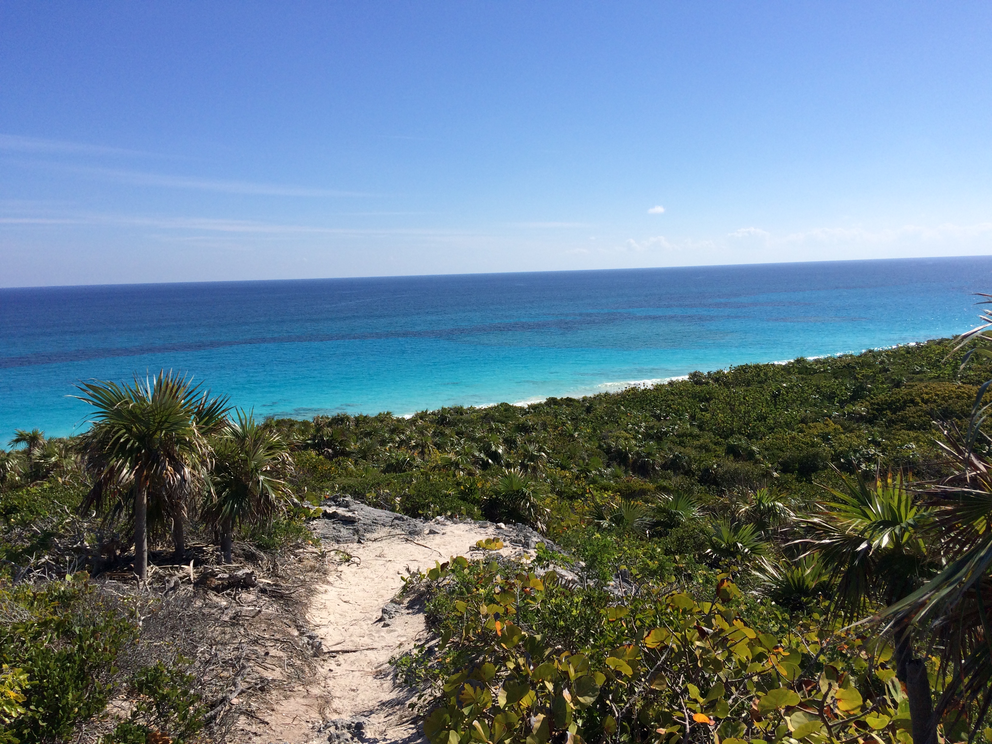
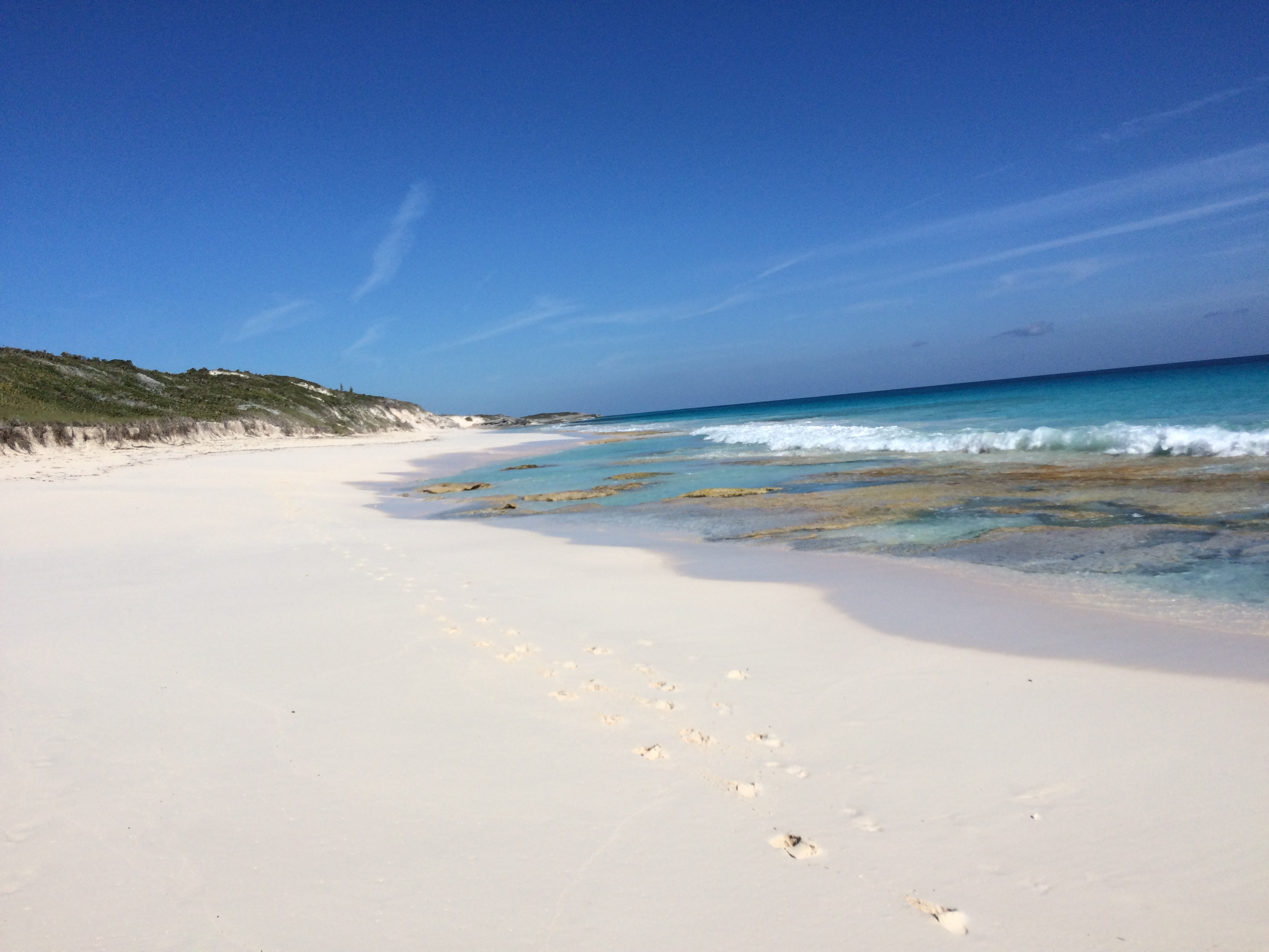
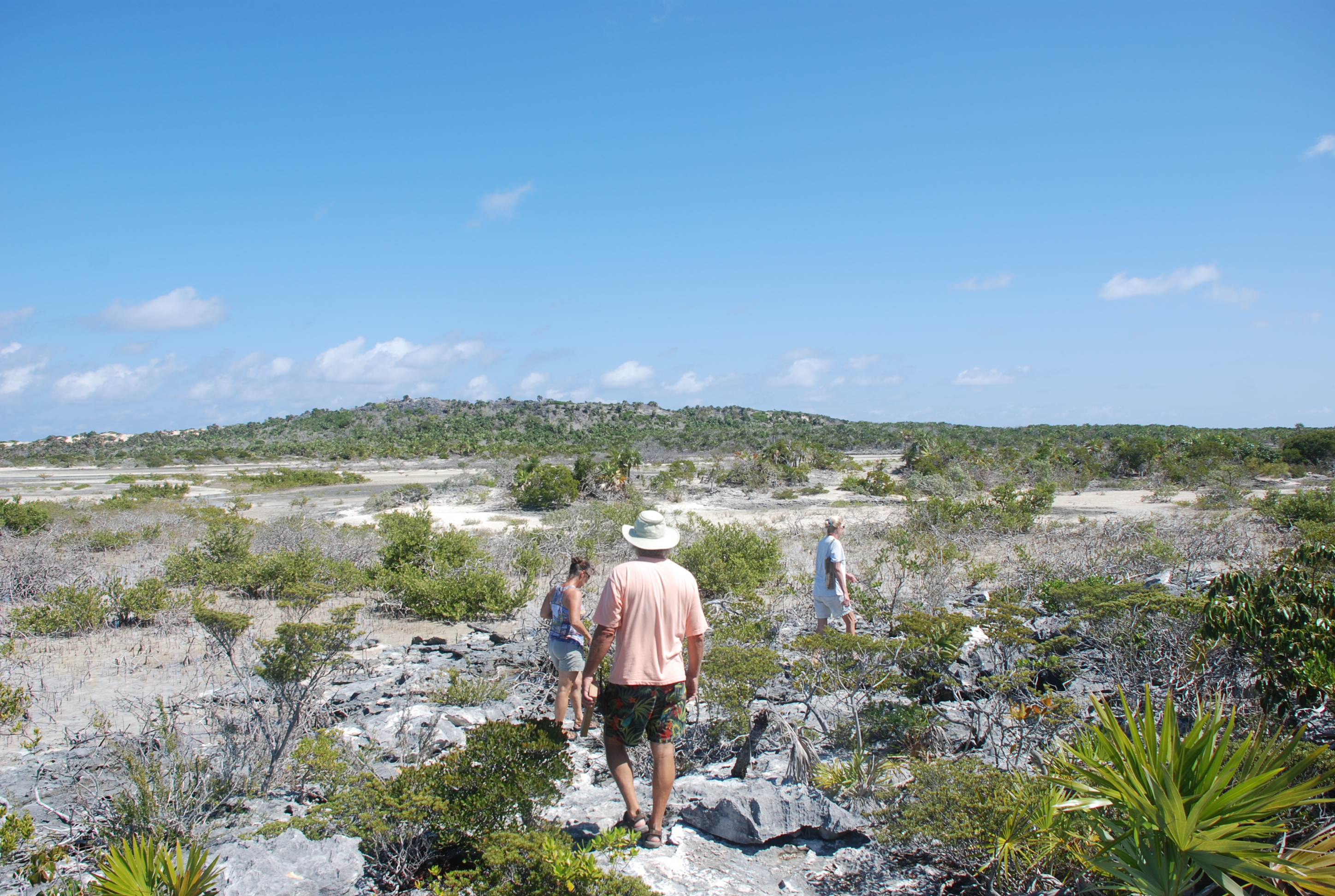
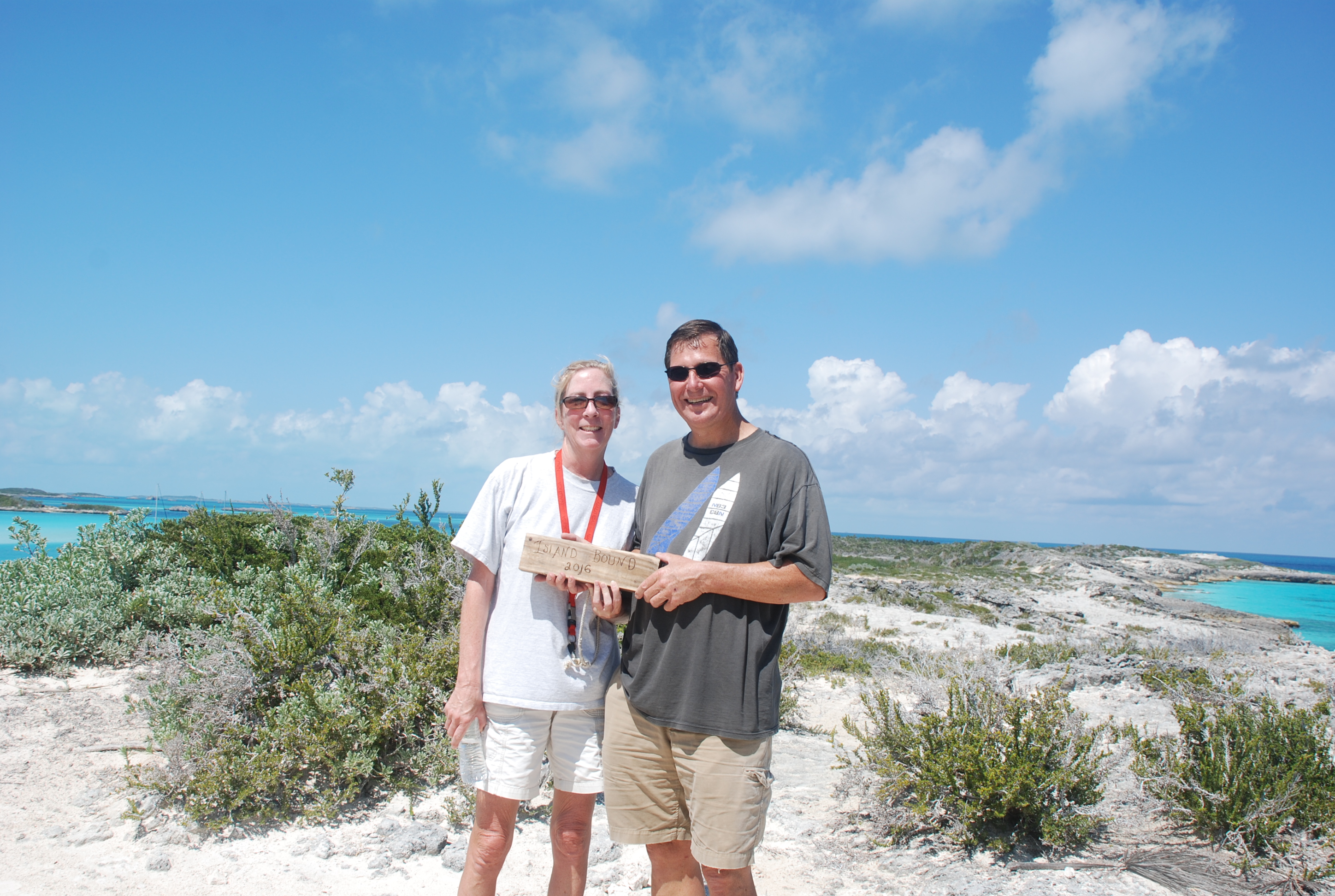
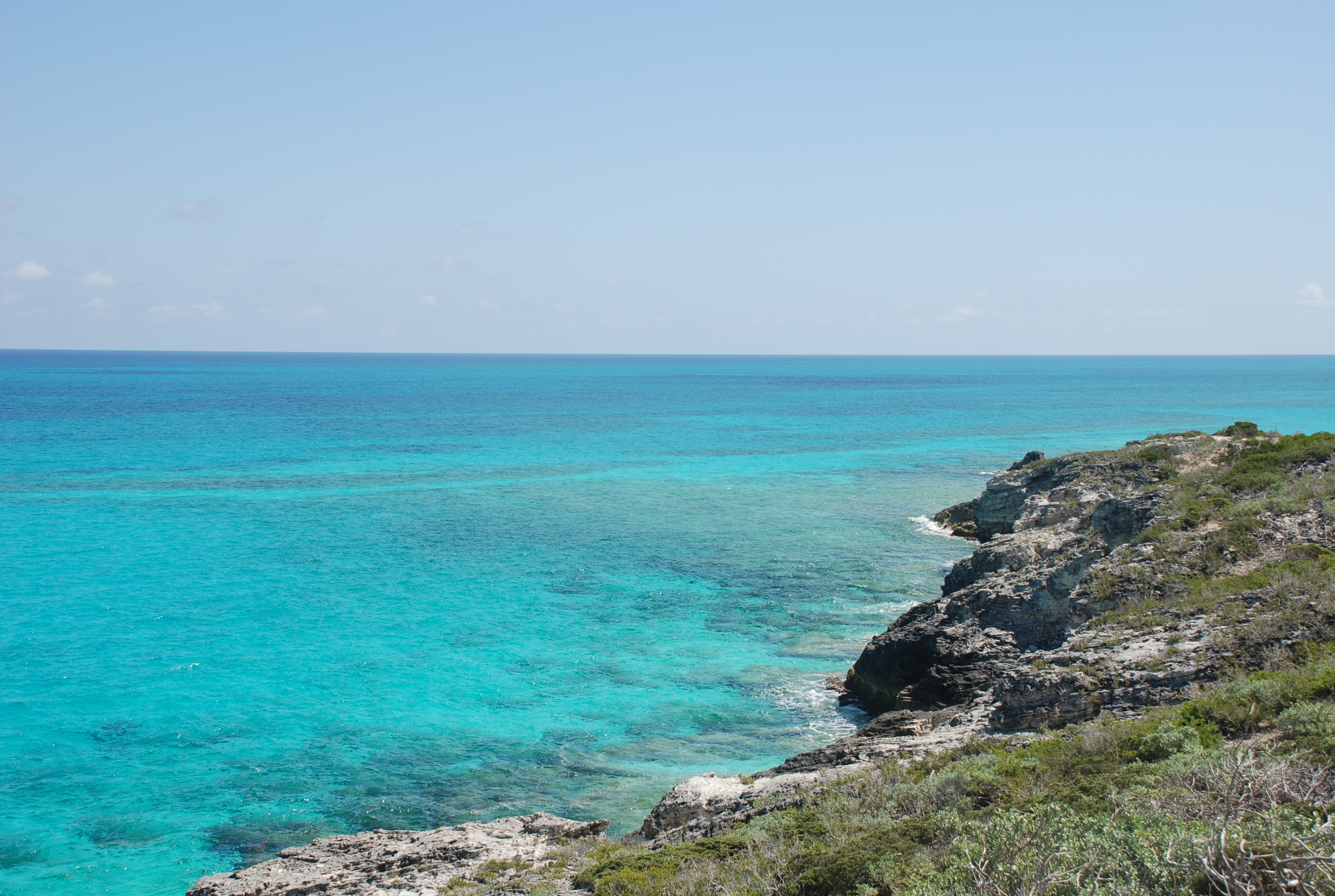
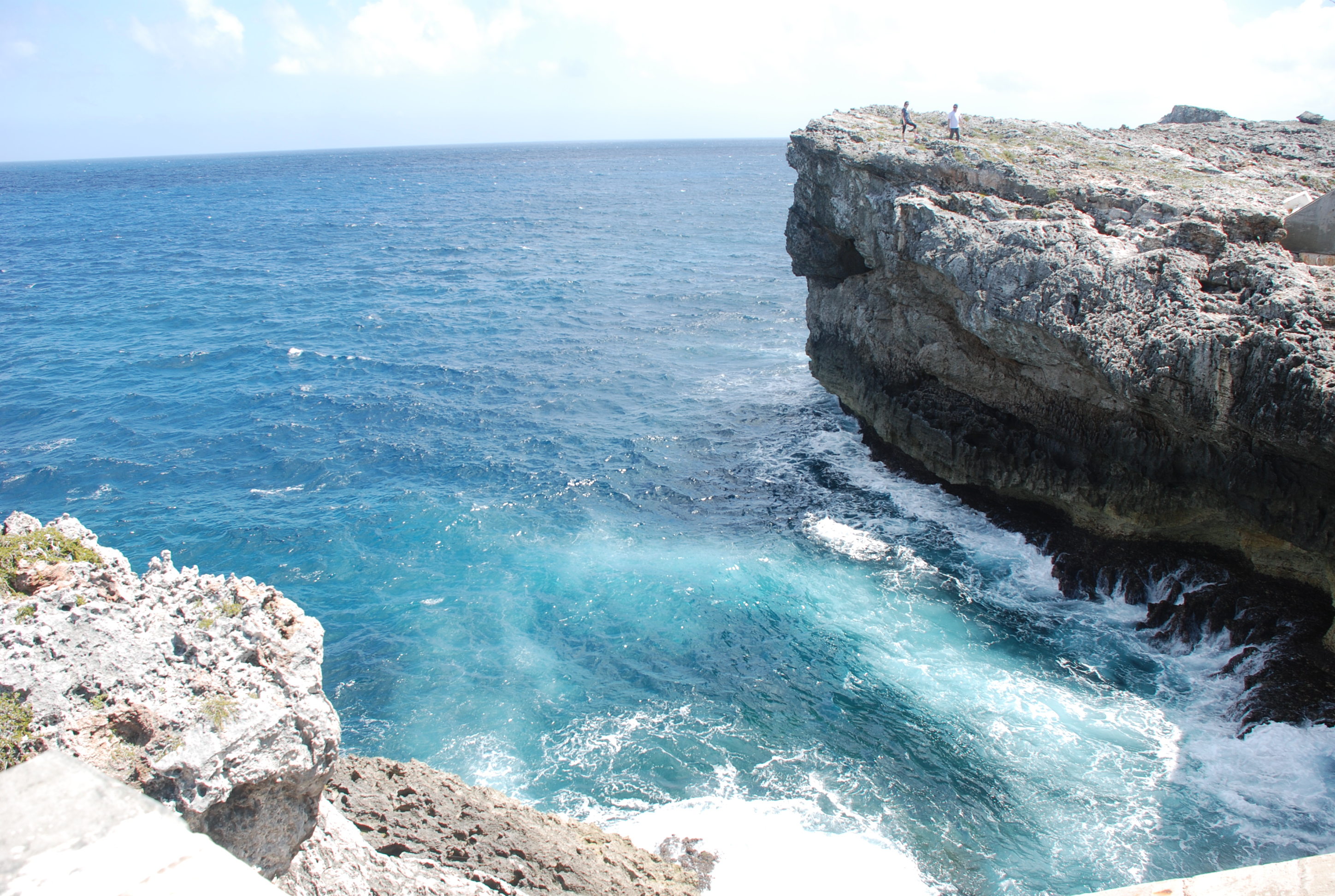
The day after we arrived at the Glass Window anchorage we went ashore to see the Glass Window, which is a natural gap in the island of Eleuthera that was caused by the constant pounding of the waves and years of hurricanes that eventually wore a gap in the land. The Bahamians built a bridge over it and you can hike to it and see the Atlantic Ocean on one side, and the aqua waters of the sound on the other. The winds have been relentless and we had a very wet dinghy ride to shore. The views were breathtaking, and worth the effort to go ashore and hike to the bridge.
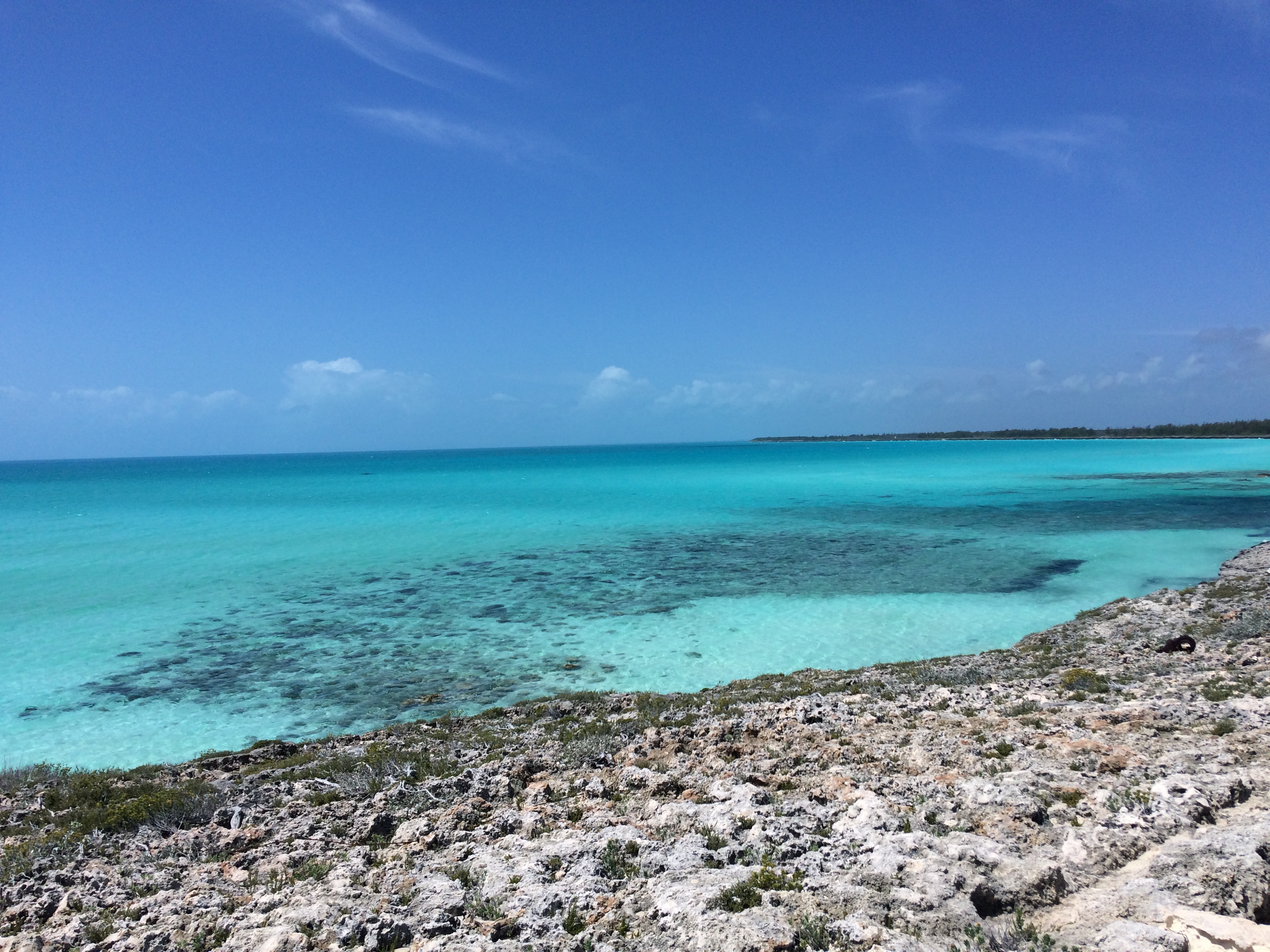
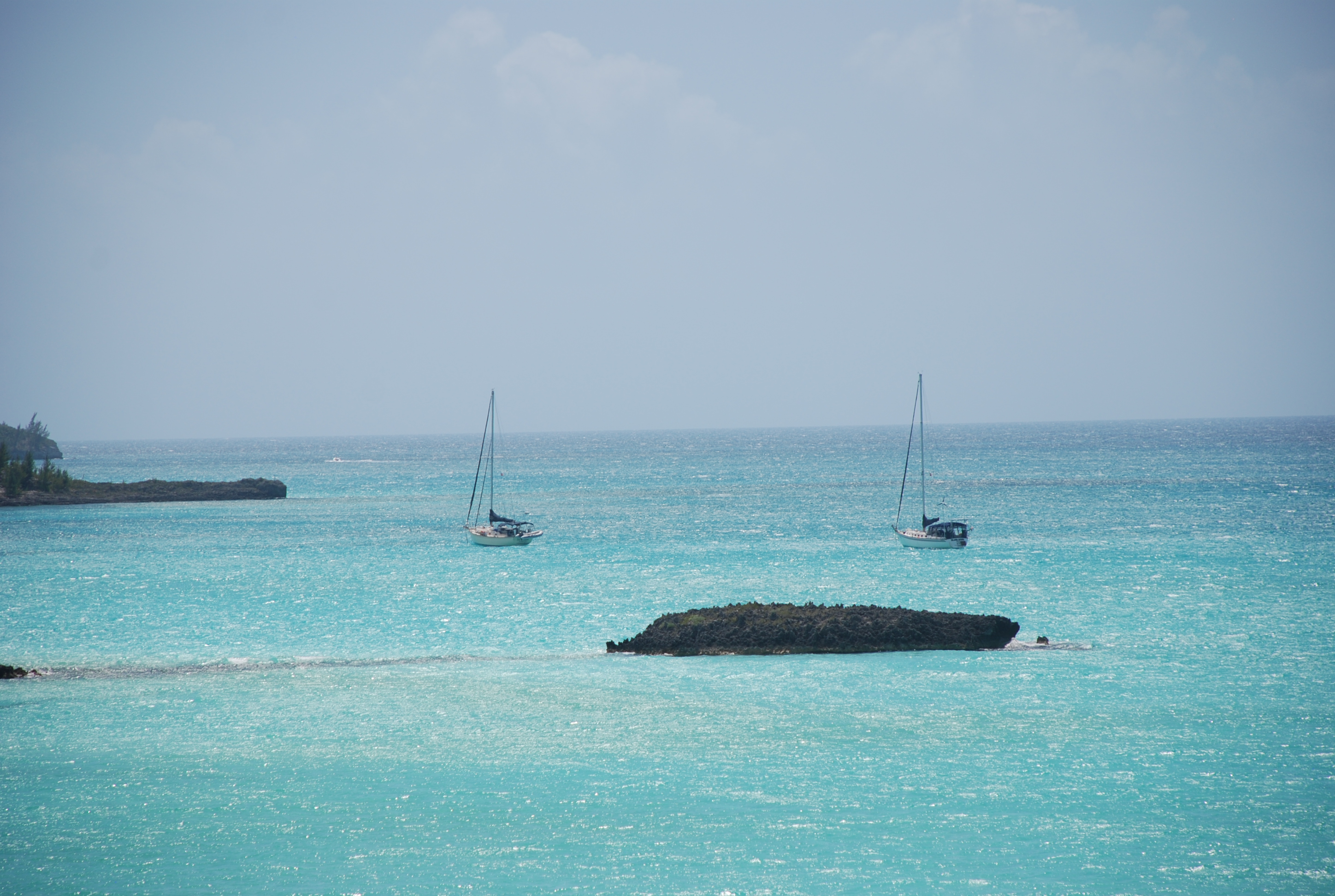
The sound side:
IMG_2181
The ocean side:
DSC_0396
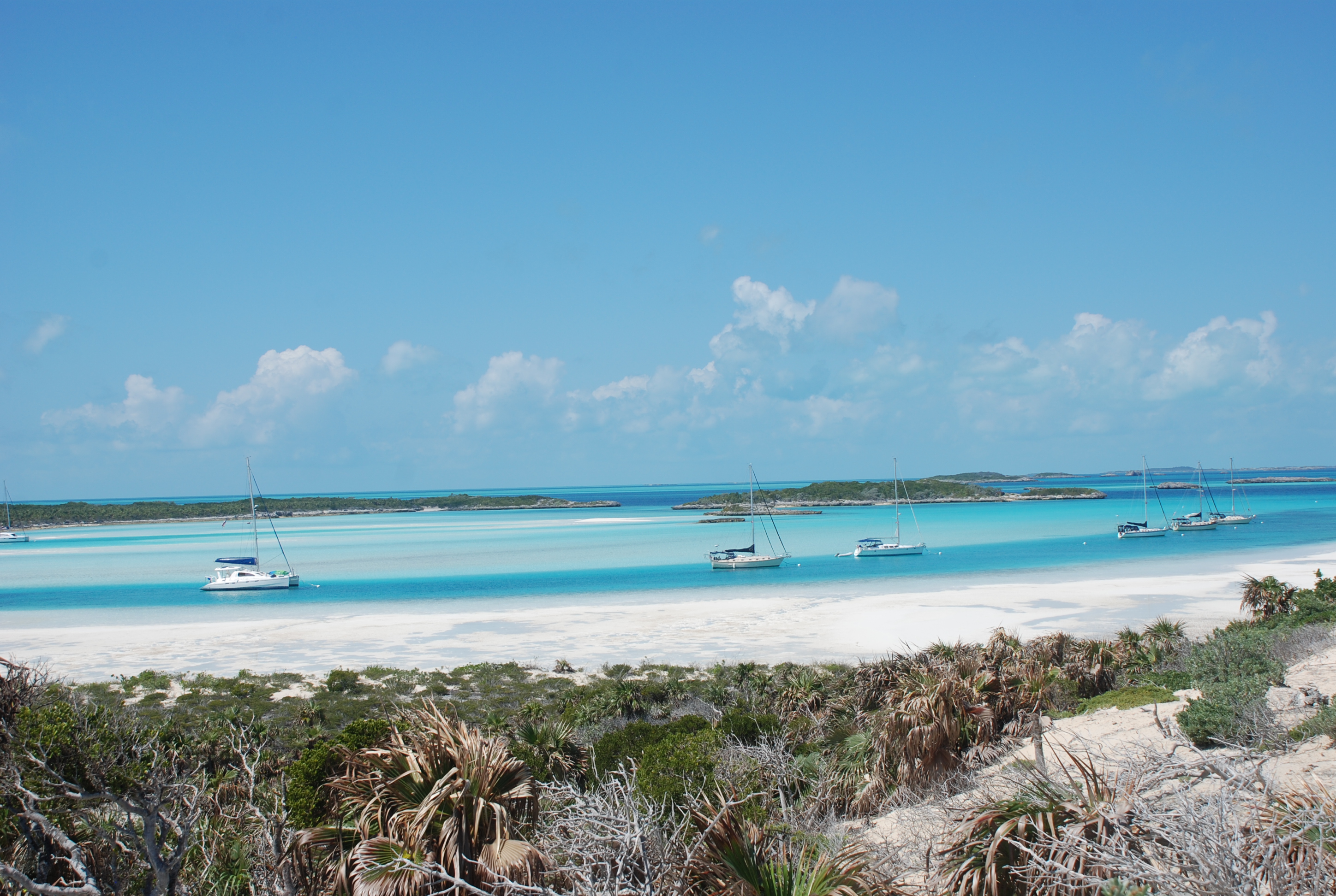
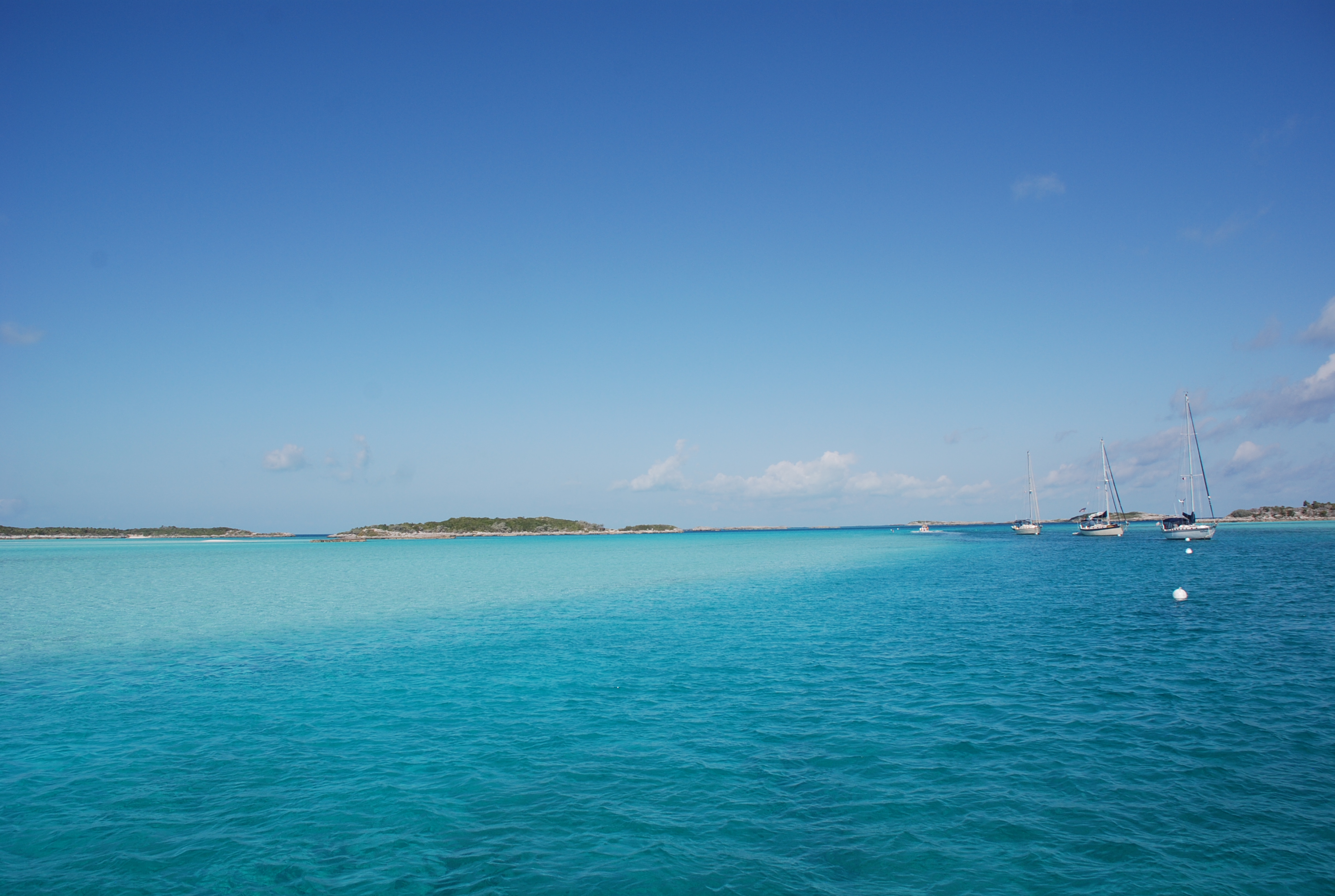
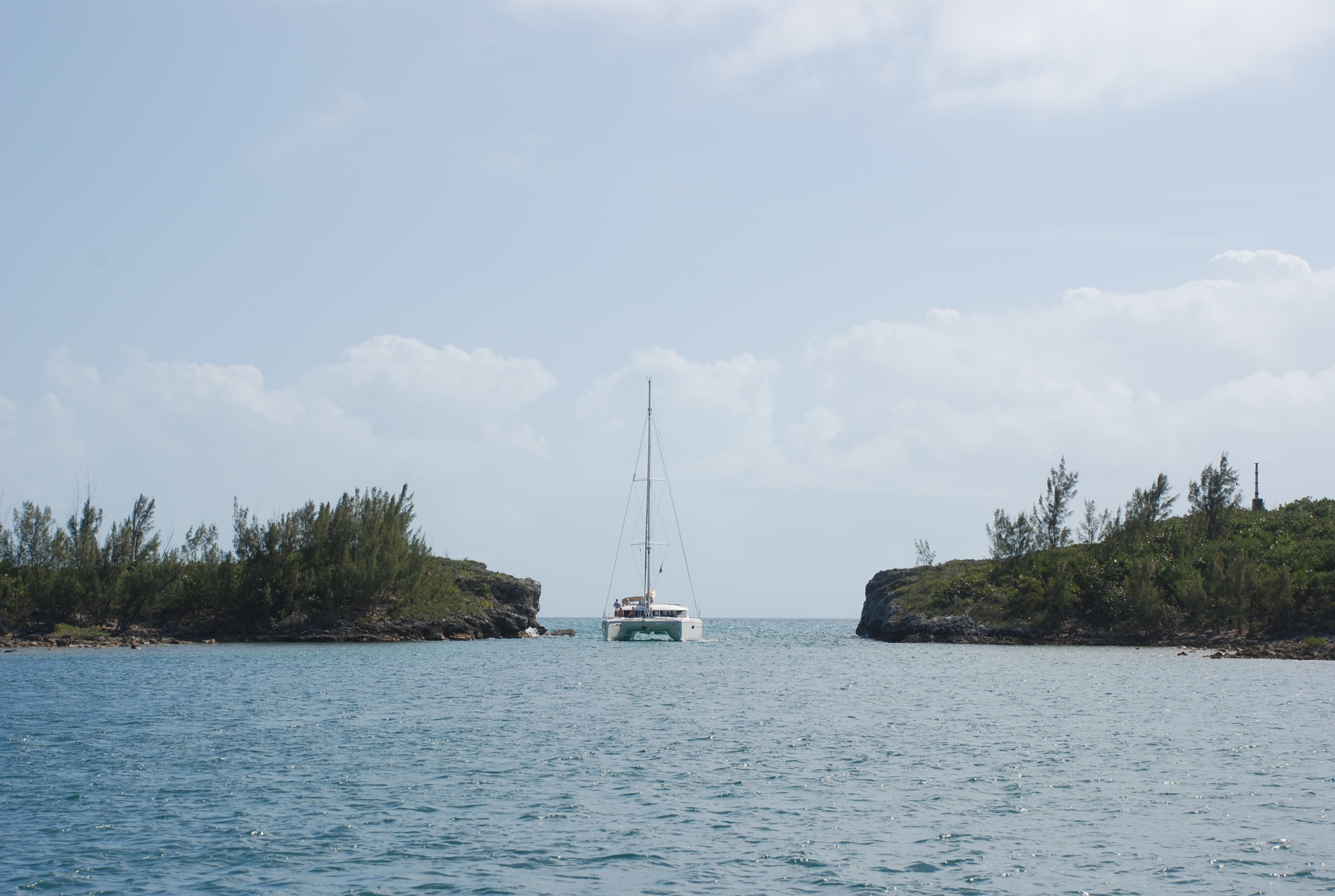
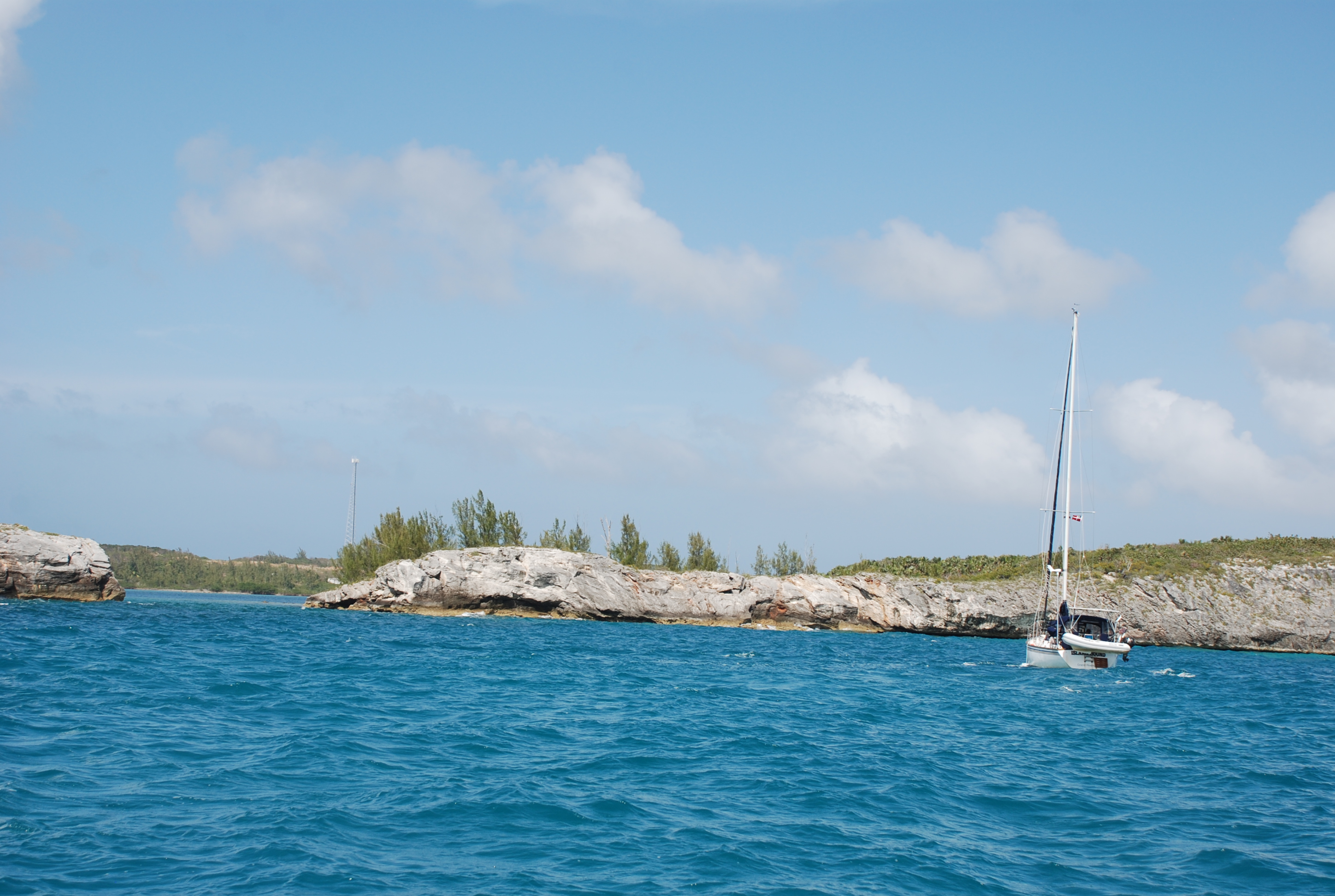
Our boats anchored by the Glass Window:
DSC_0394

Then we pulled anchor and motored directly into the wind and seas for 3 hours to Hatchet Bay. The winds were between 12 and 25 knots and the seas were 5 to 6 feet with a 2 second period…not fun. The boat would bash into a wave and then pound down into the trough, one right after another every 2 seconds. It was miserable. Fortunately, the trip was only a few hours, and Hatchet Bay Pond is protected 360 degrees by hills, so we were going to a calm place to anchor. You have to go through a narrow cut in the cliffs to enter that is only about 2 boat widths wide. We got pushed around by the current as we entered but it looks more intimidating than it really is. You could not let the boat get away from you, and had to feel the movement and react immediately.
DSC_0460
DSC_0443

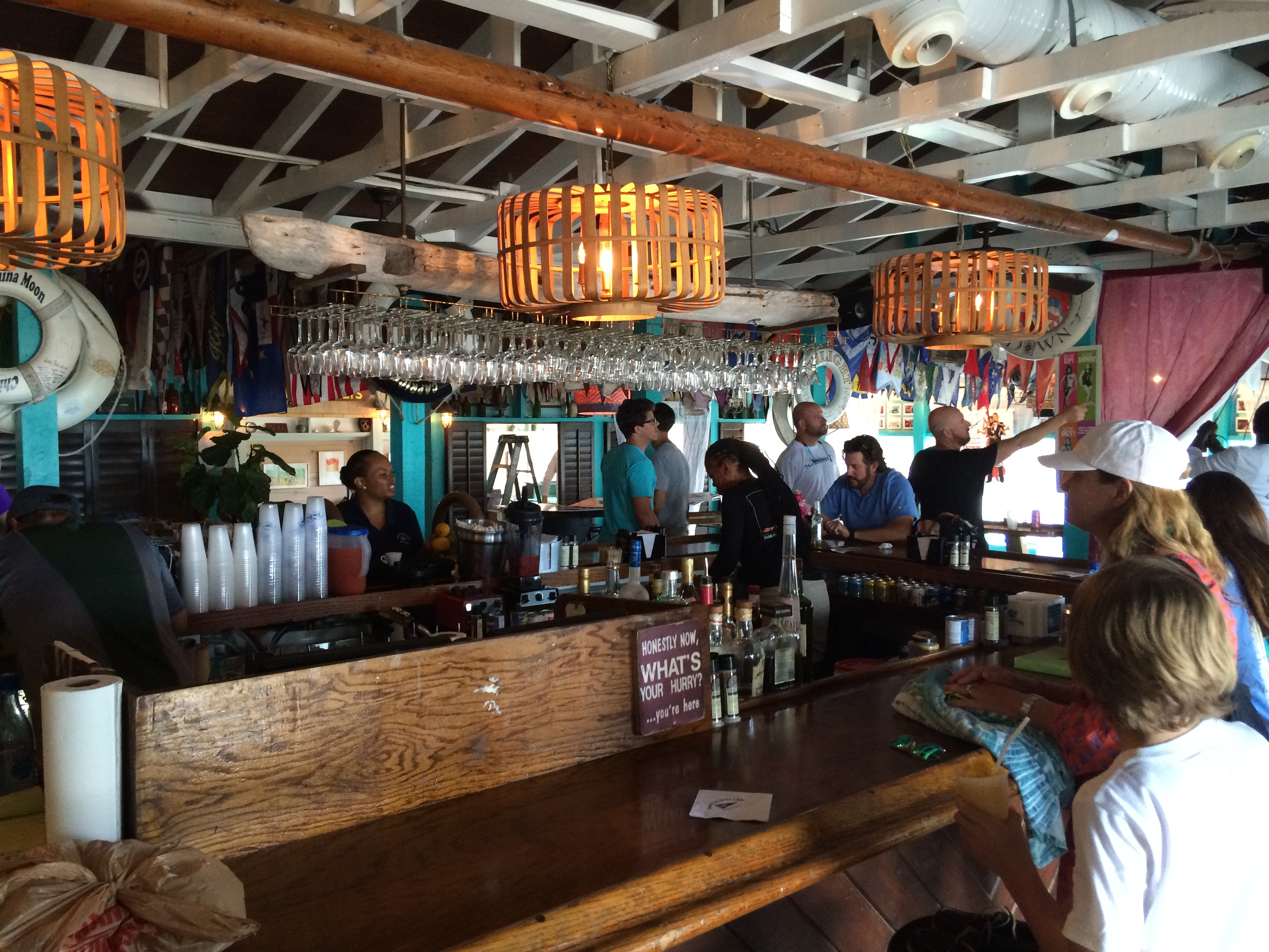
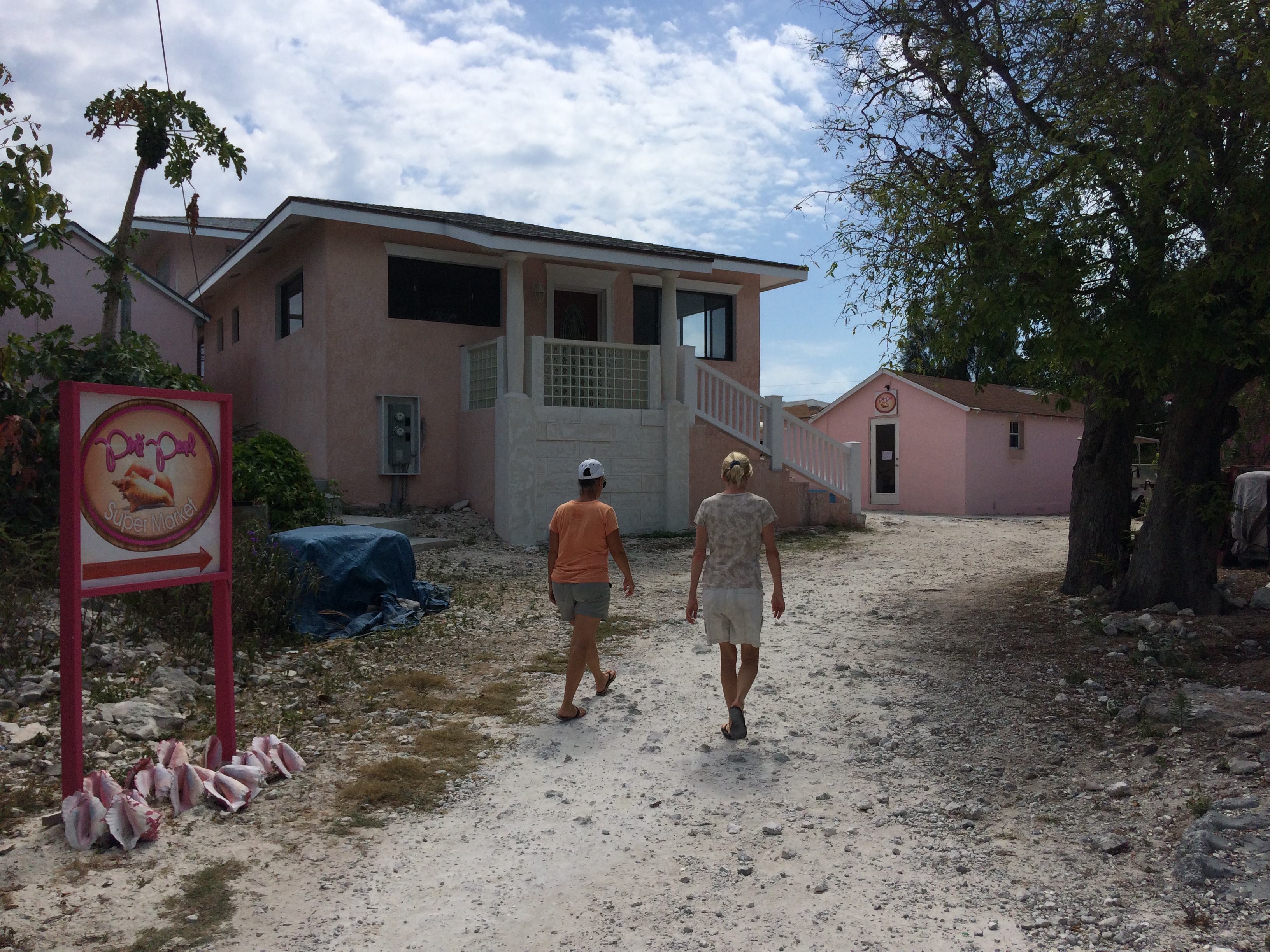
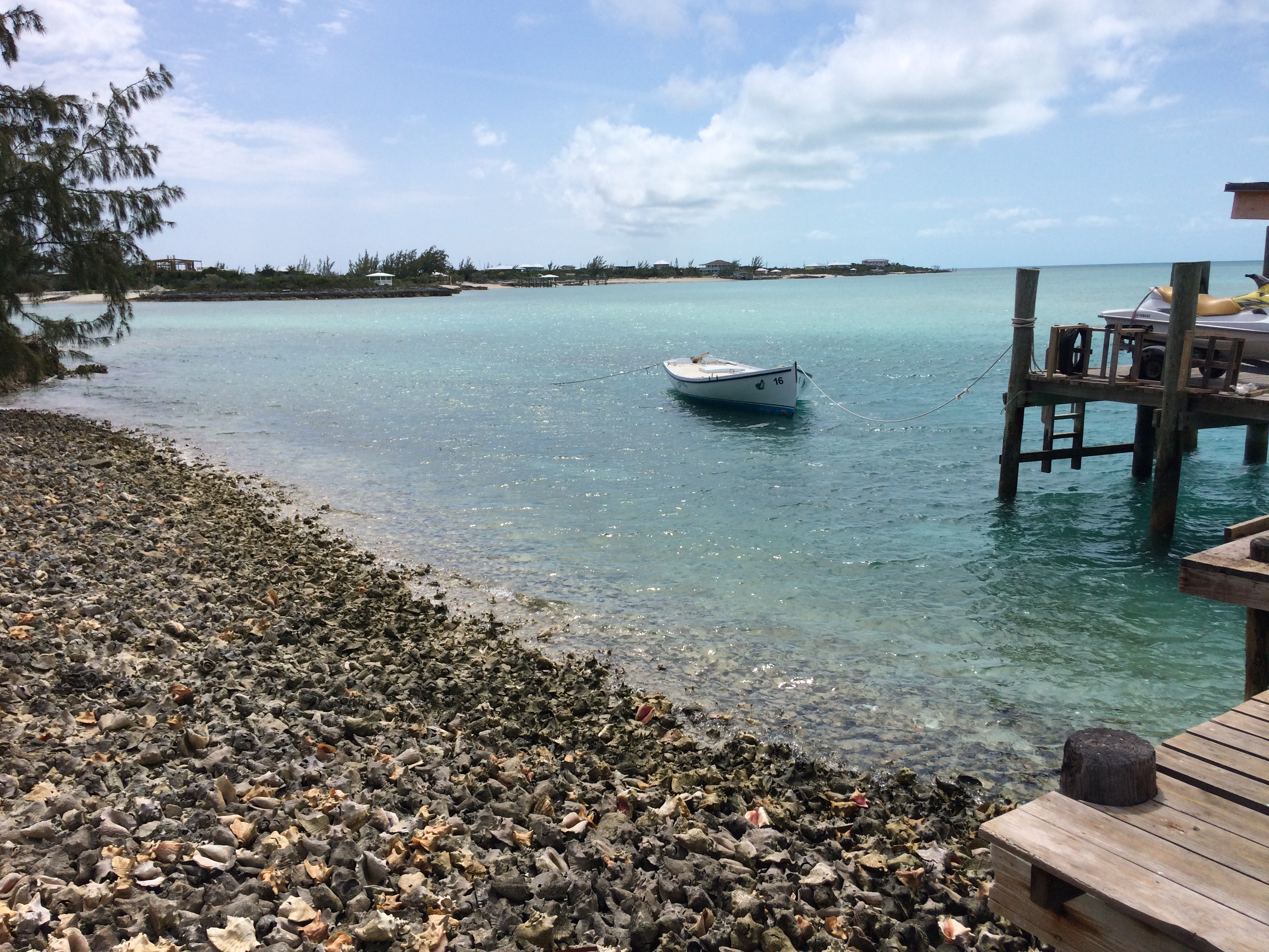
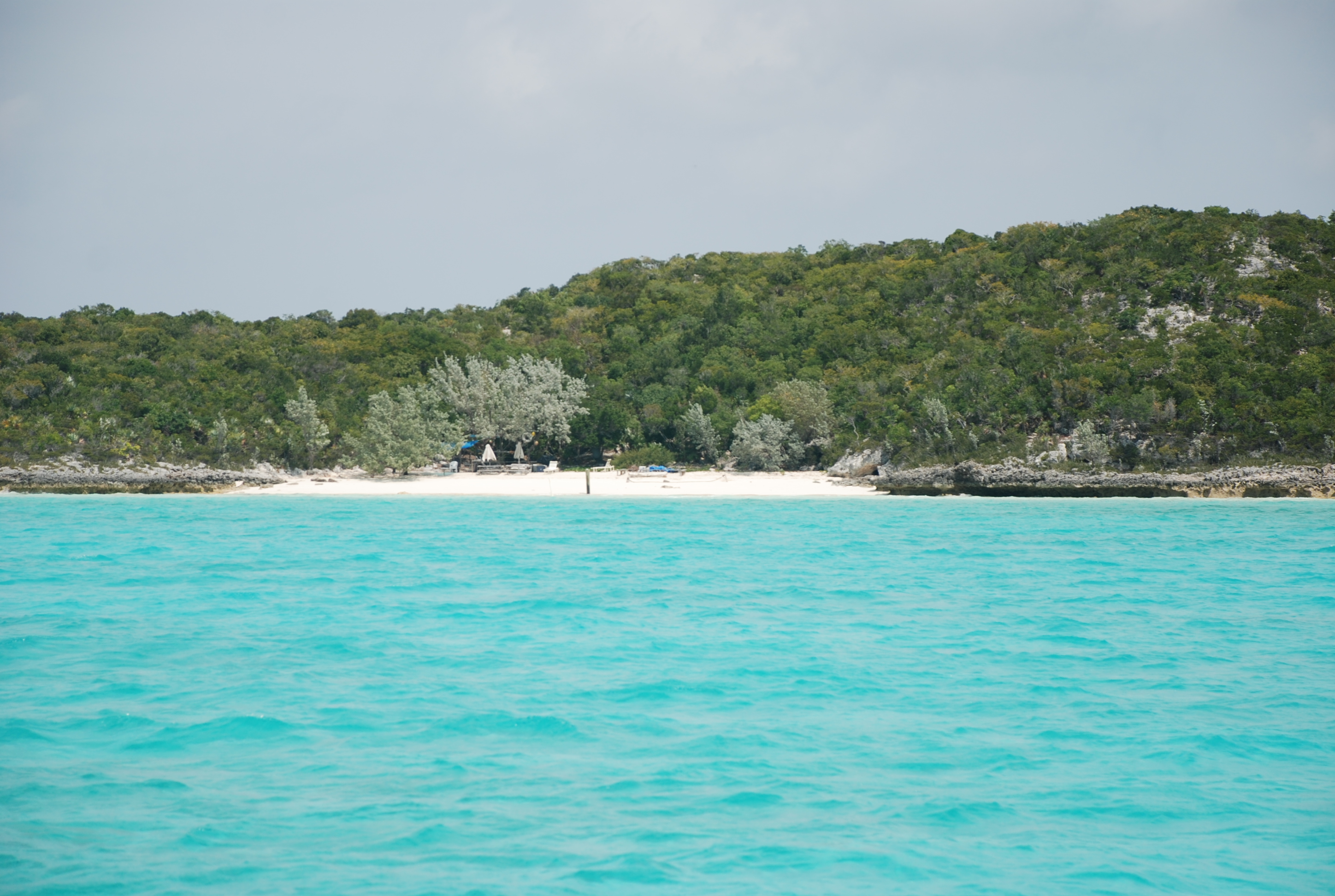
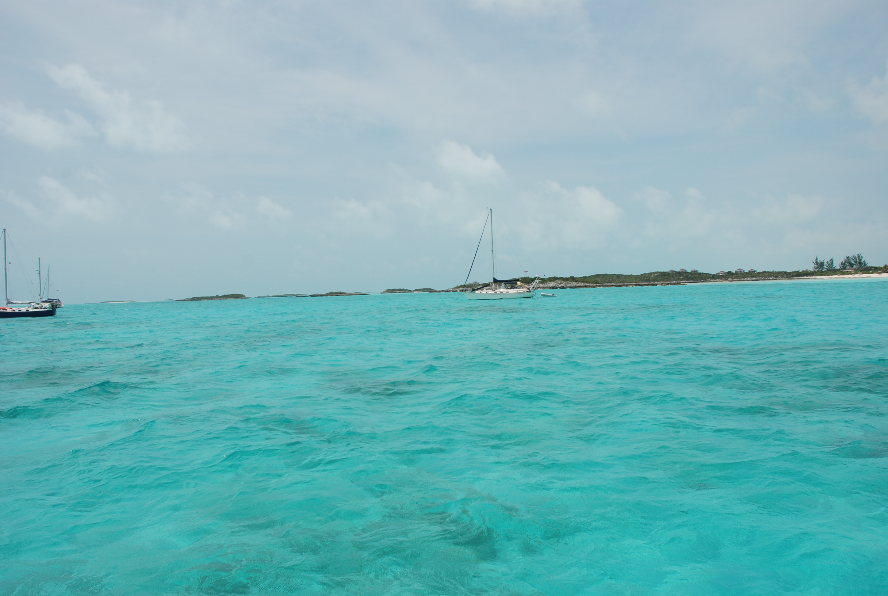
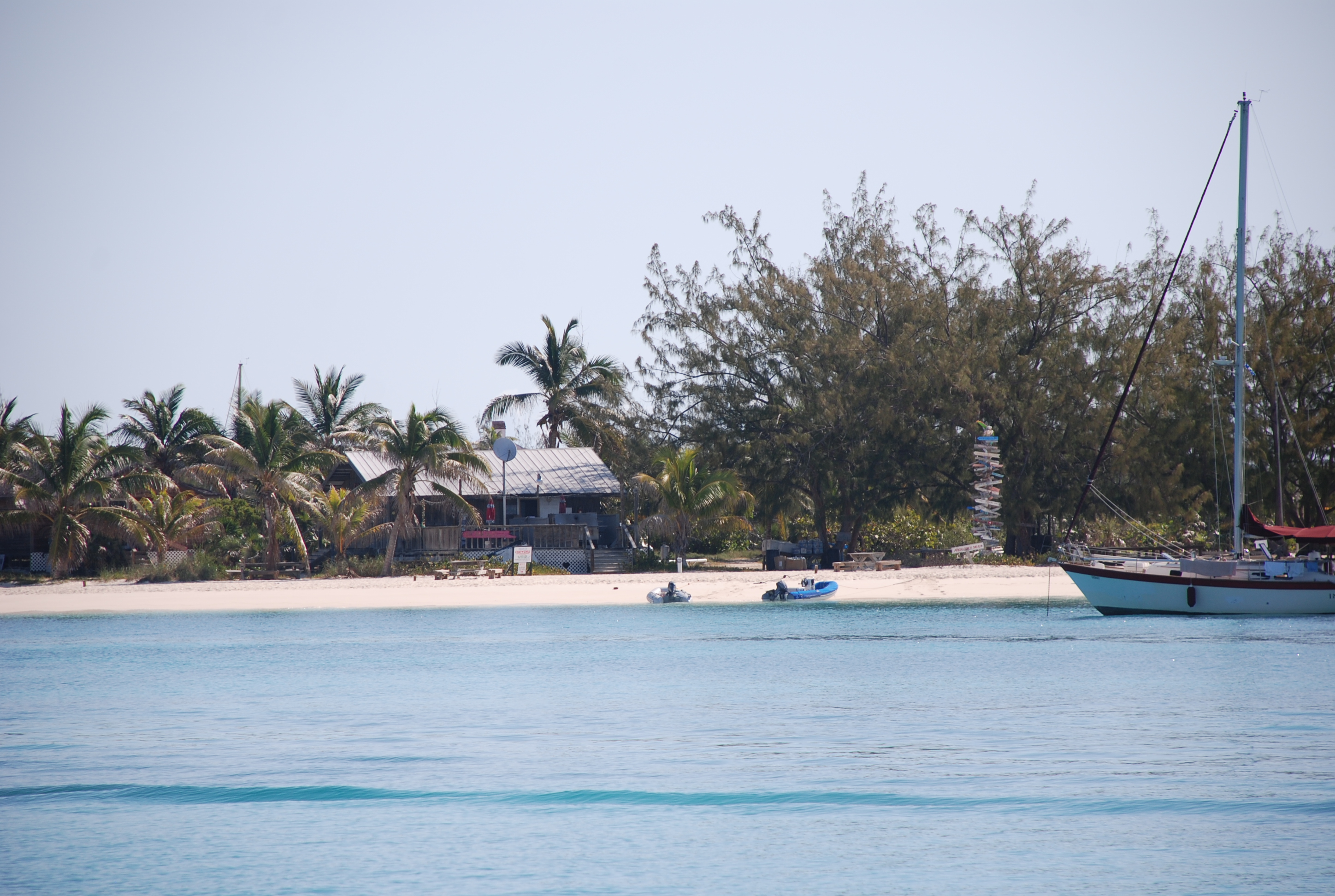
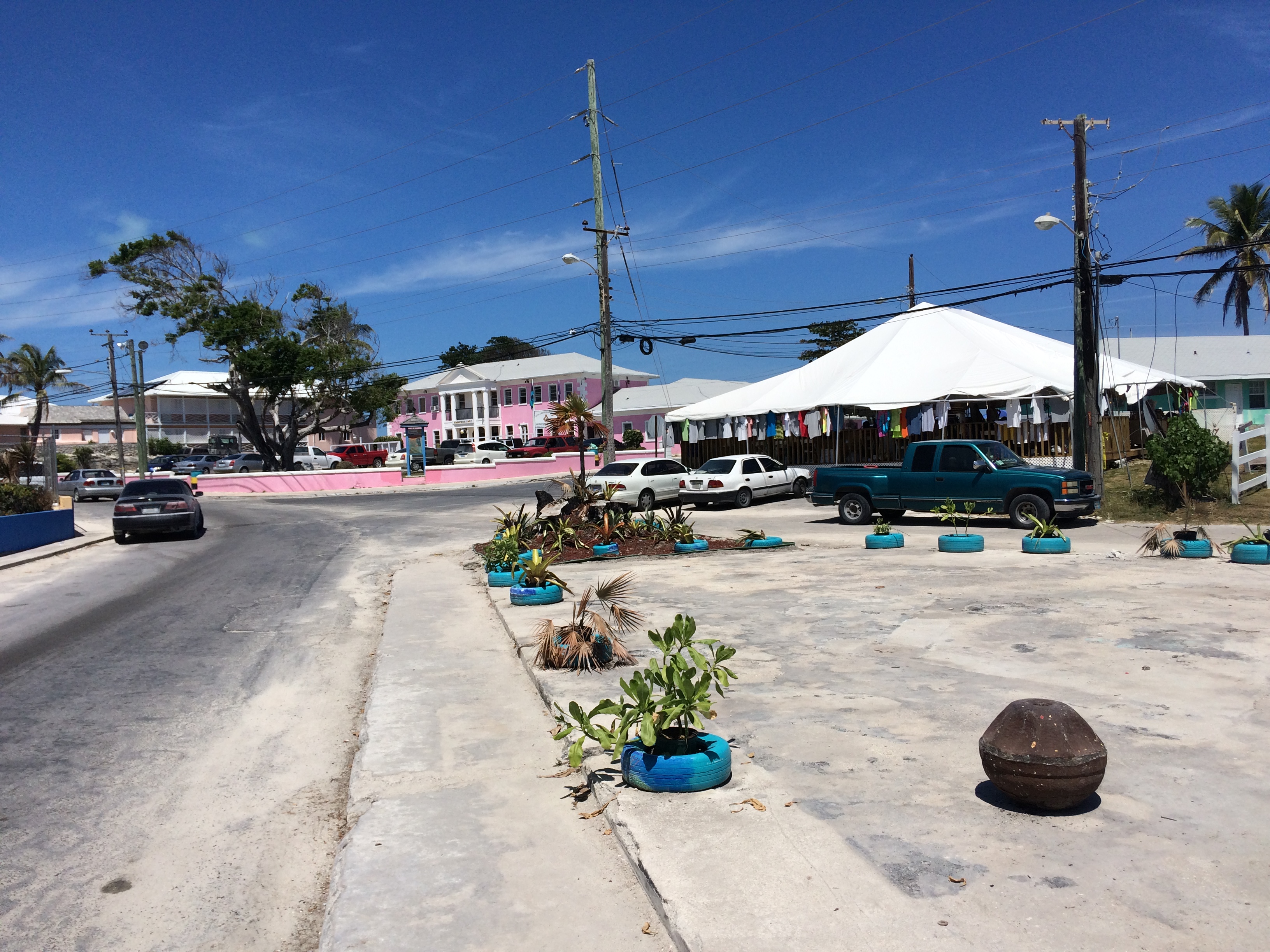
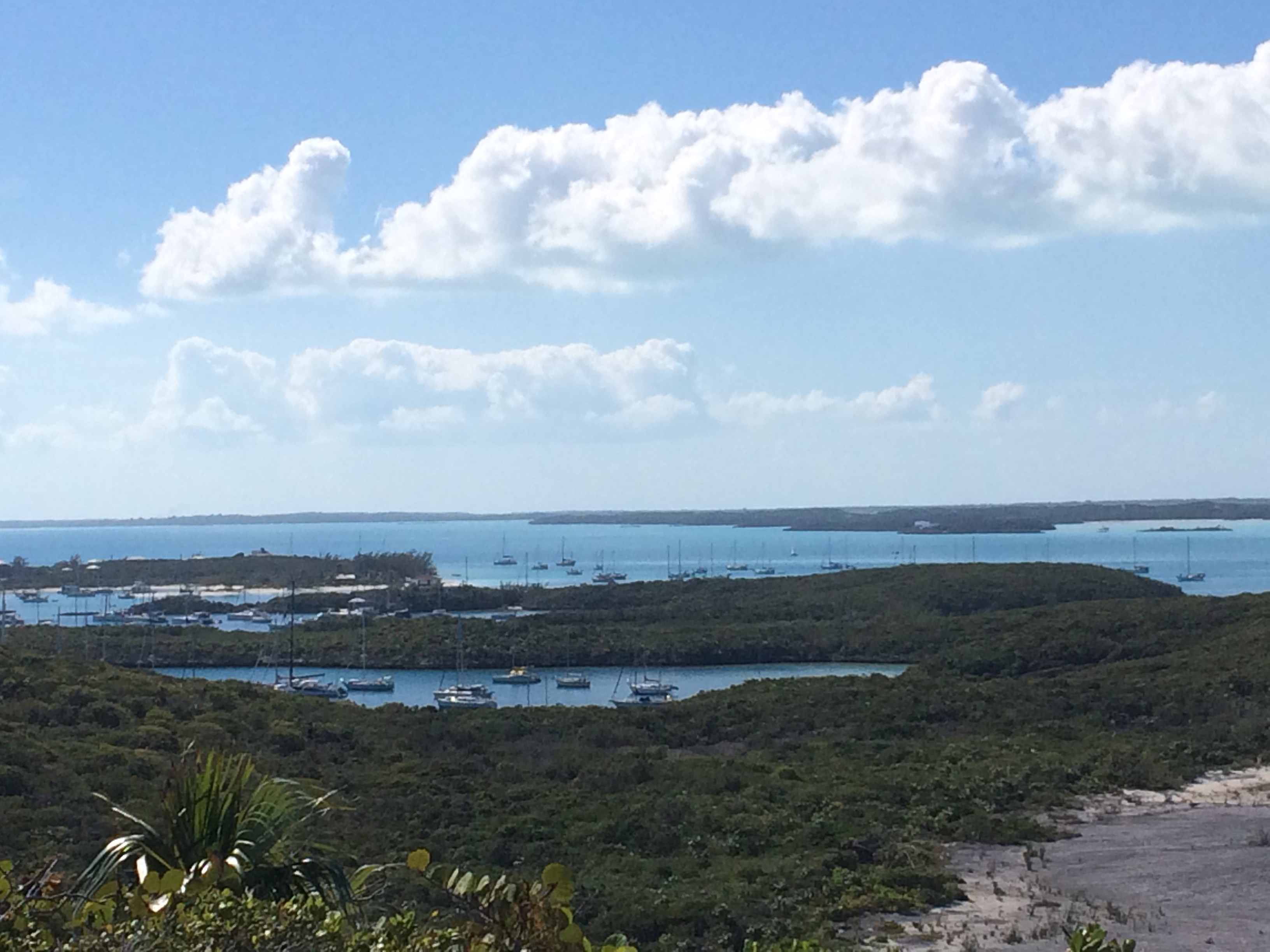
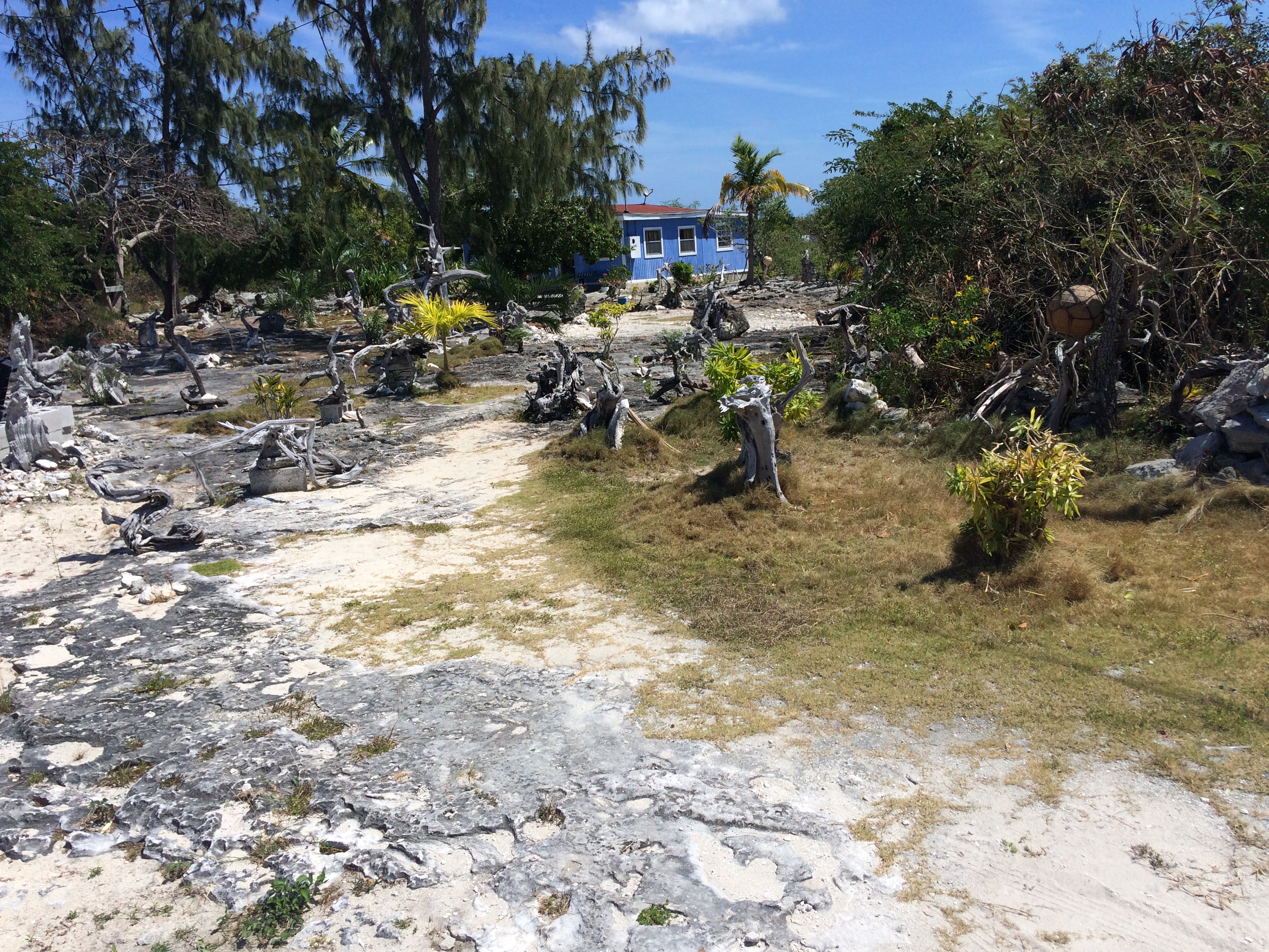
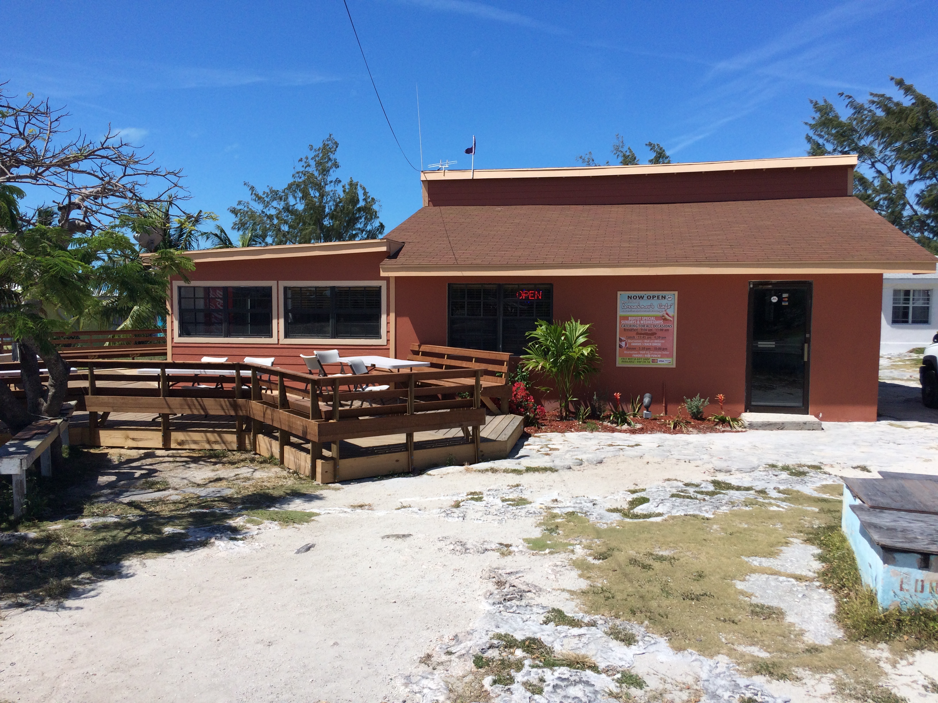
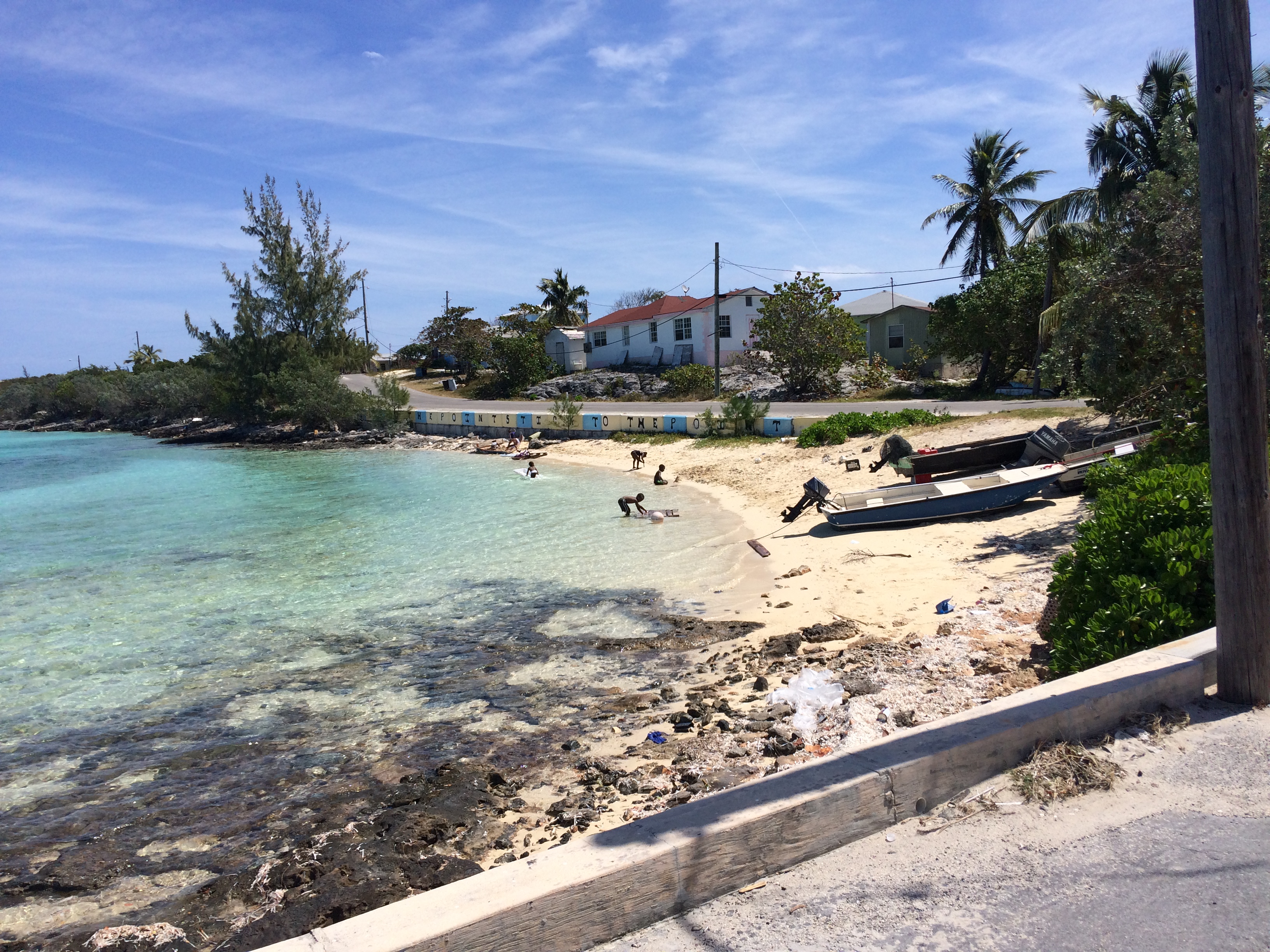
Once inside, the water was calm and flat, and this is the first place we have anchored in flat water since Georgetown, a welcome relief. We anchored at position 25 21.046N, 076 29.520W, and went ashore to the small village of Alicetown and grabbed dinner at Twin Brothers. It was a pretty good dinner. The town is really depressed. Most of the houses and businesses are very small run down buildings, and you would see a decent house followed by ruins, followed by a house that has been under construction for probably 10 years. The people are poverty stricken by US standards. You see this throughout the Bahamas, but it was really bad here. The next day we tried to find a place to do laundry, to no avail, and walked around town. The grocery store was really nice and had pretty decent prices. Hatchet Bay has had so many great reviews and write ups. We didn’t get it. The harbor was ok, but we have seen much nicer places. The people in town were mixed…some very friendly, and others downright bitchy. Usually the Bahamians are all very friendly. We bought some groceries and dumped our trash.
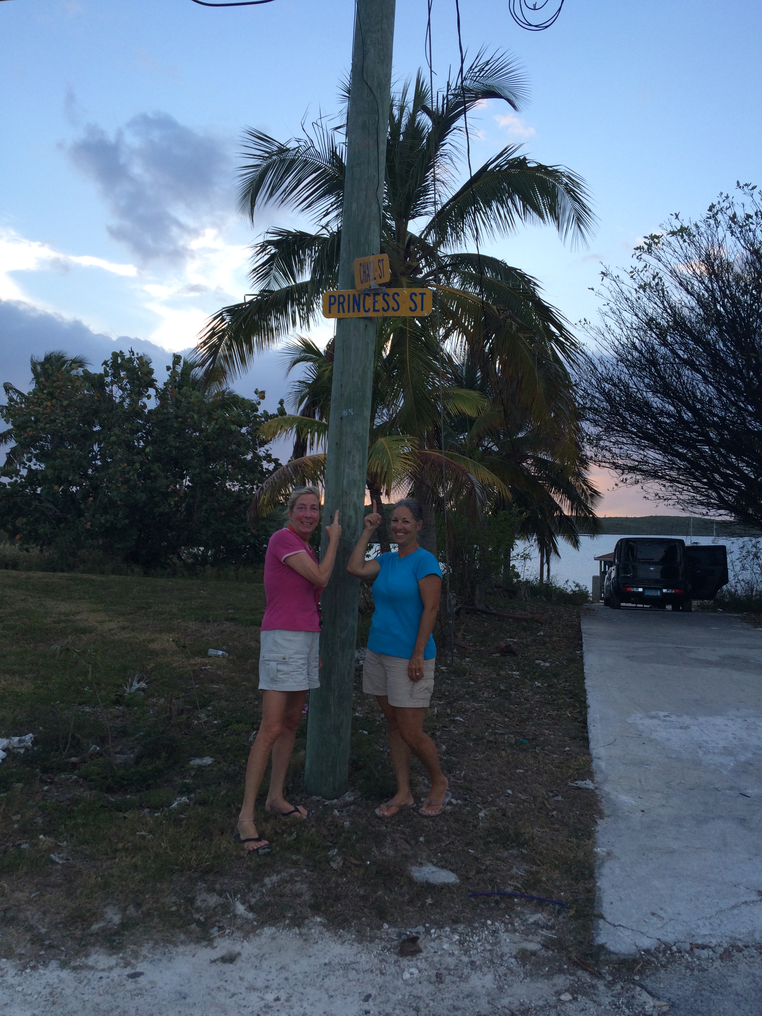
The Princesses, Tricia and Jan, at Princess street…lol:
IMG_2191
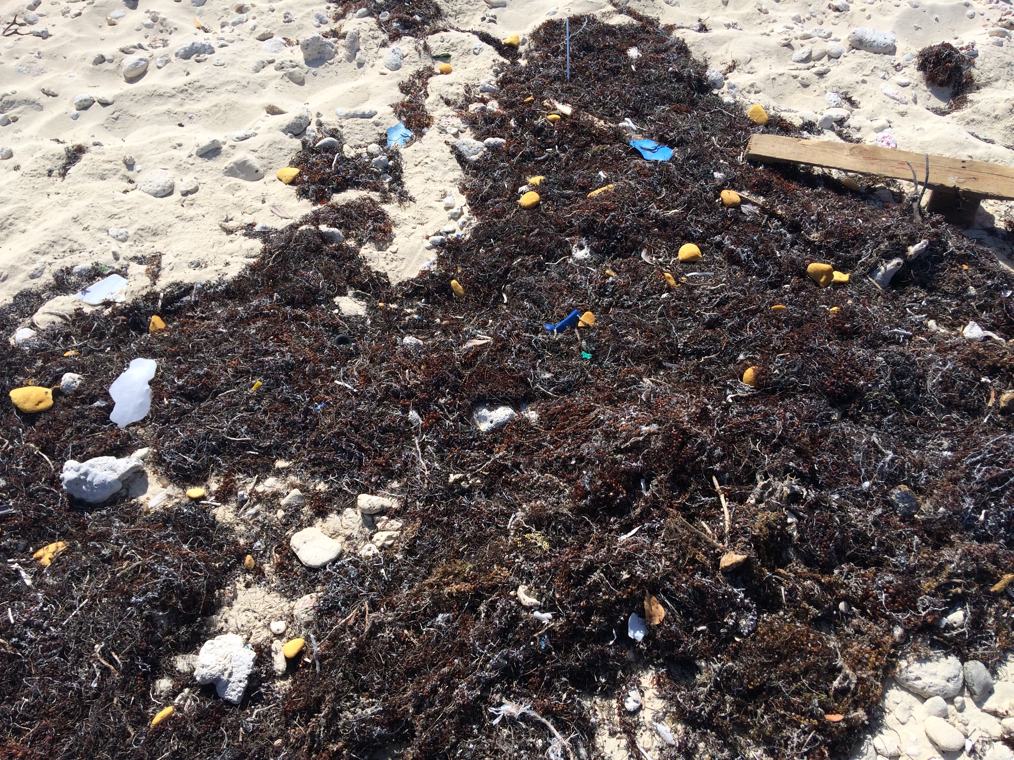
Trash is a big deal cruising the Bahamas. Through most of the Exumas you have to carry your trash with you as there is no place to dump it. It is amazing how much trash we generate as humans. On our boat we are very conscious of minimizing trash, but it is very hard to do. Some places in the Exumas will take trash for a fee, like $6/bag. Trash management is a major issue for these small cays, and most have a trash heap that is burned regularly. We had been carrying trash for about 10 days, and were glad that Eleuthera doesn’t charge to dispose of it.
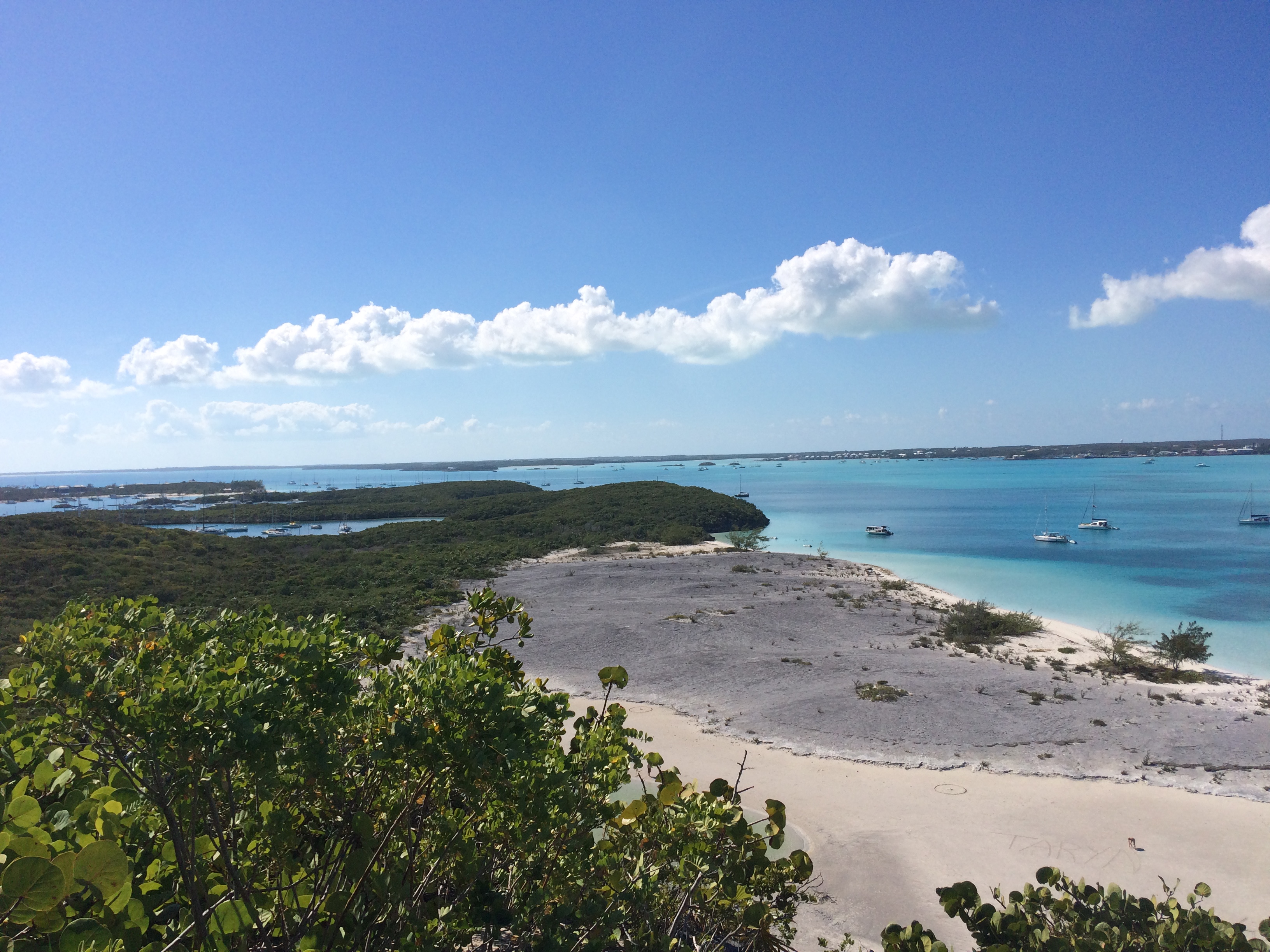
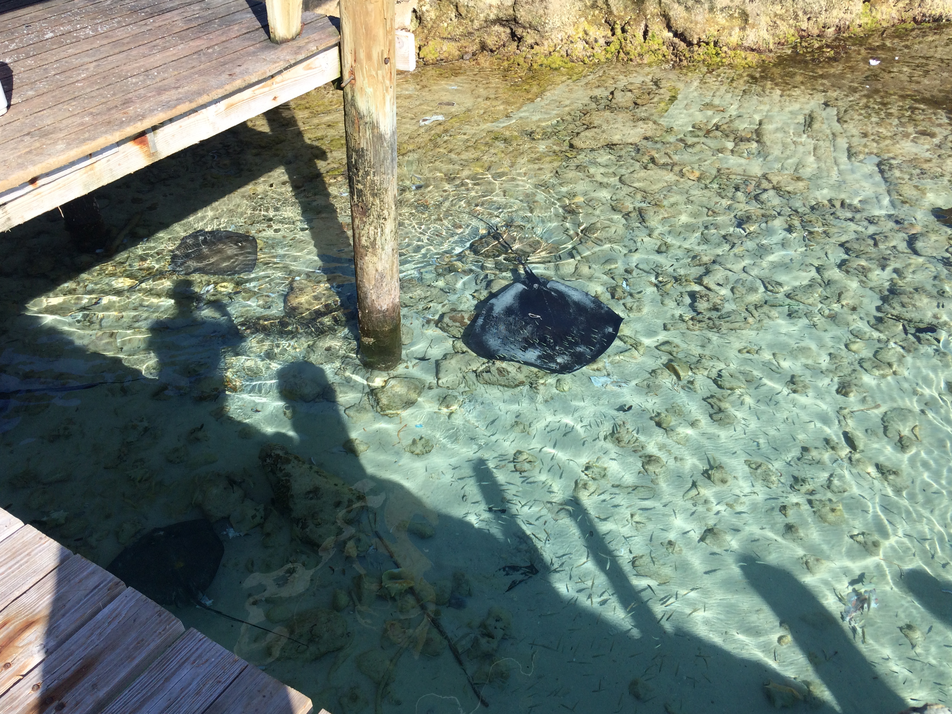
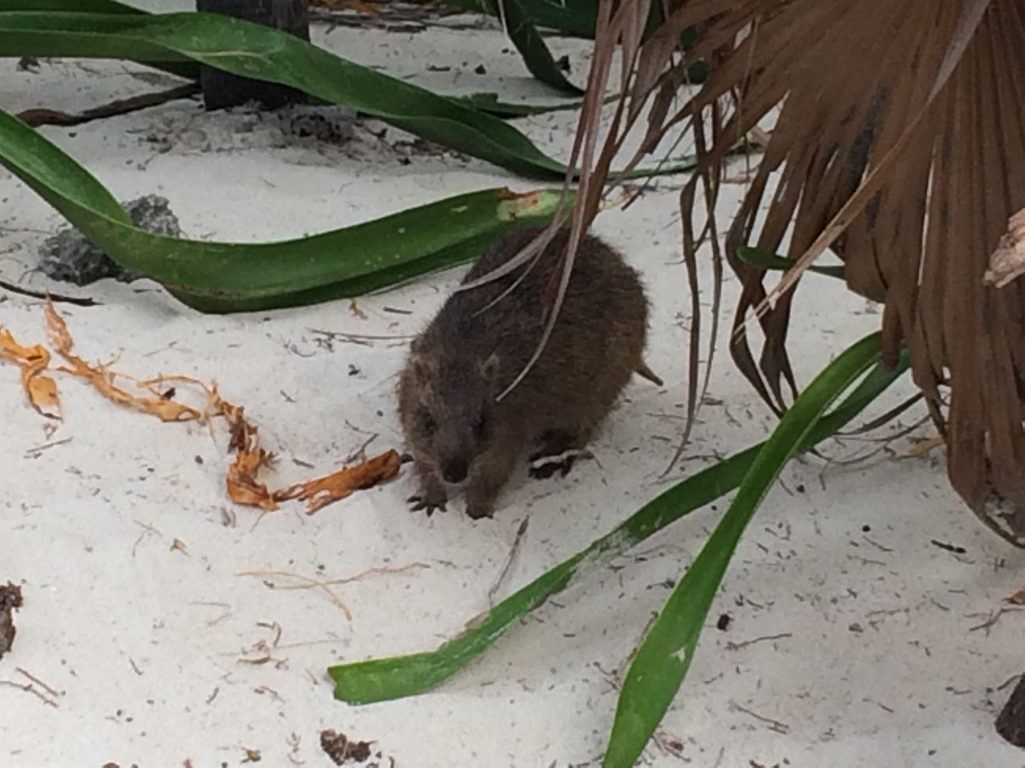
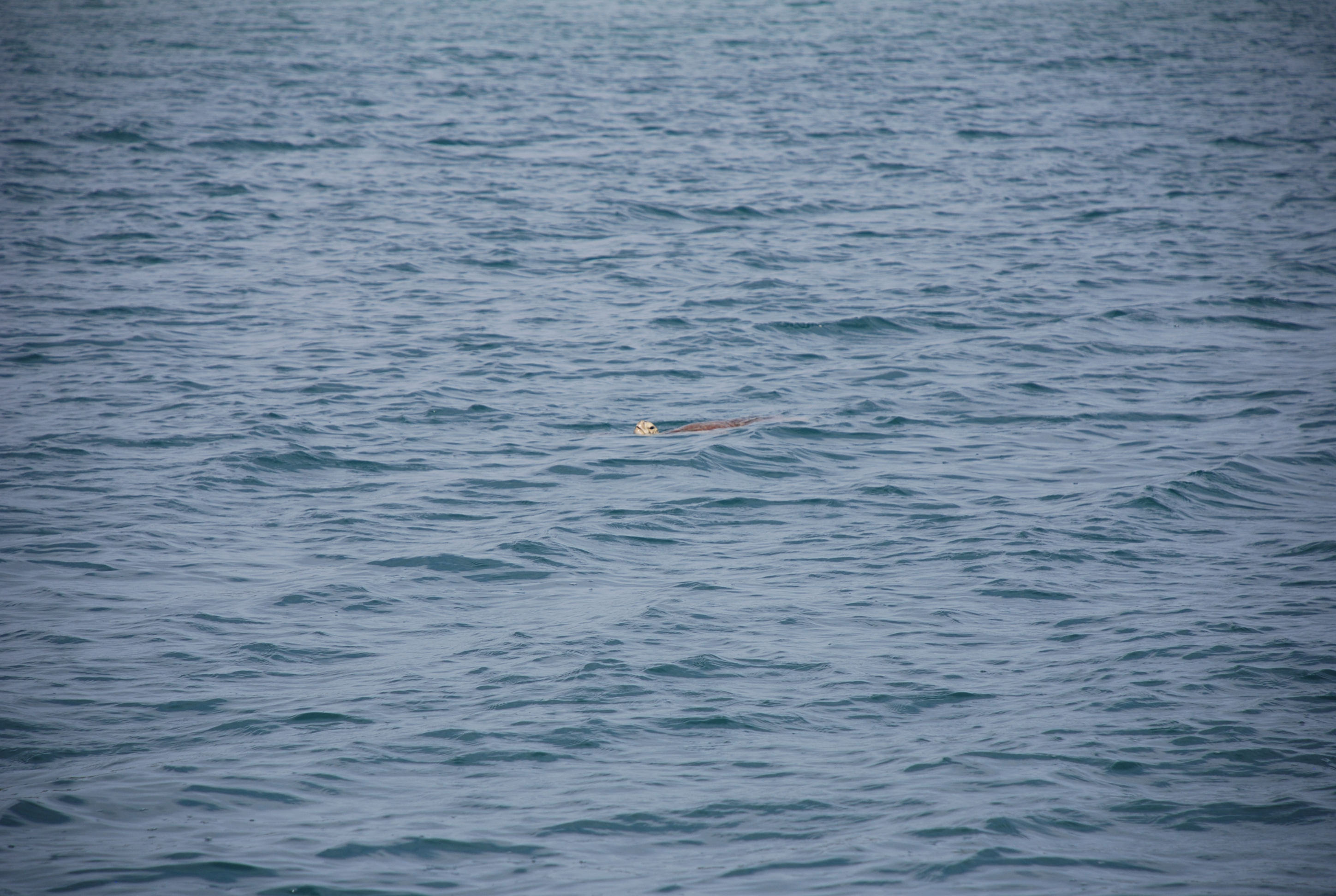
In the anchorage we saw a turtle and several rays. It is a good place to hide from winds and seas, but we wouldn’t go back unless we needed that protection.
A turtle in the bay:
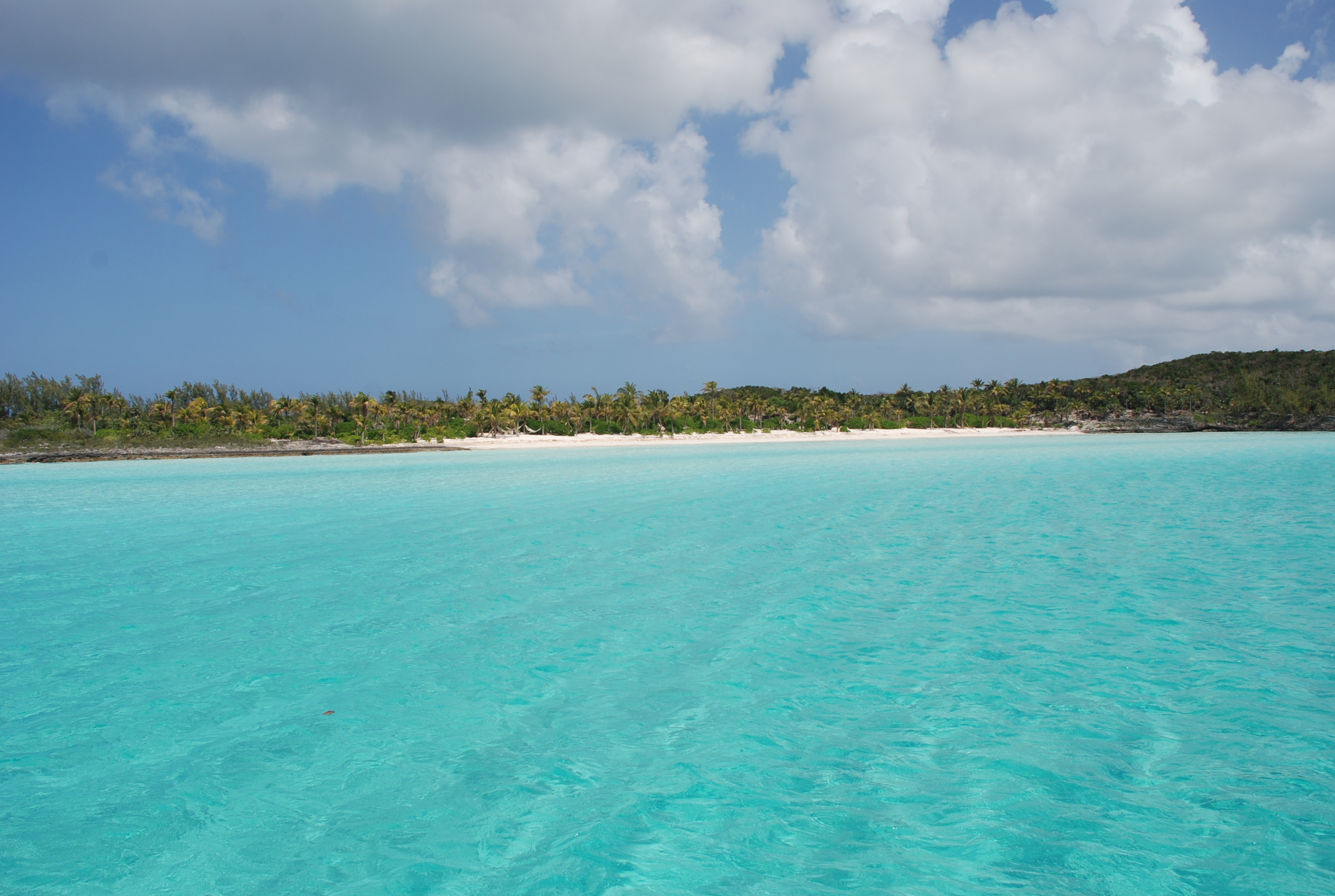
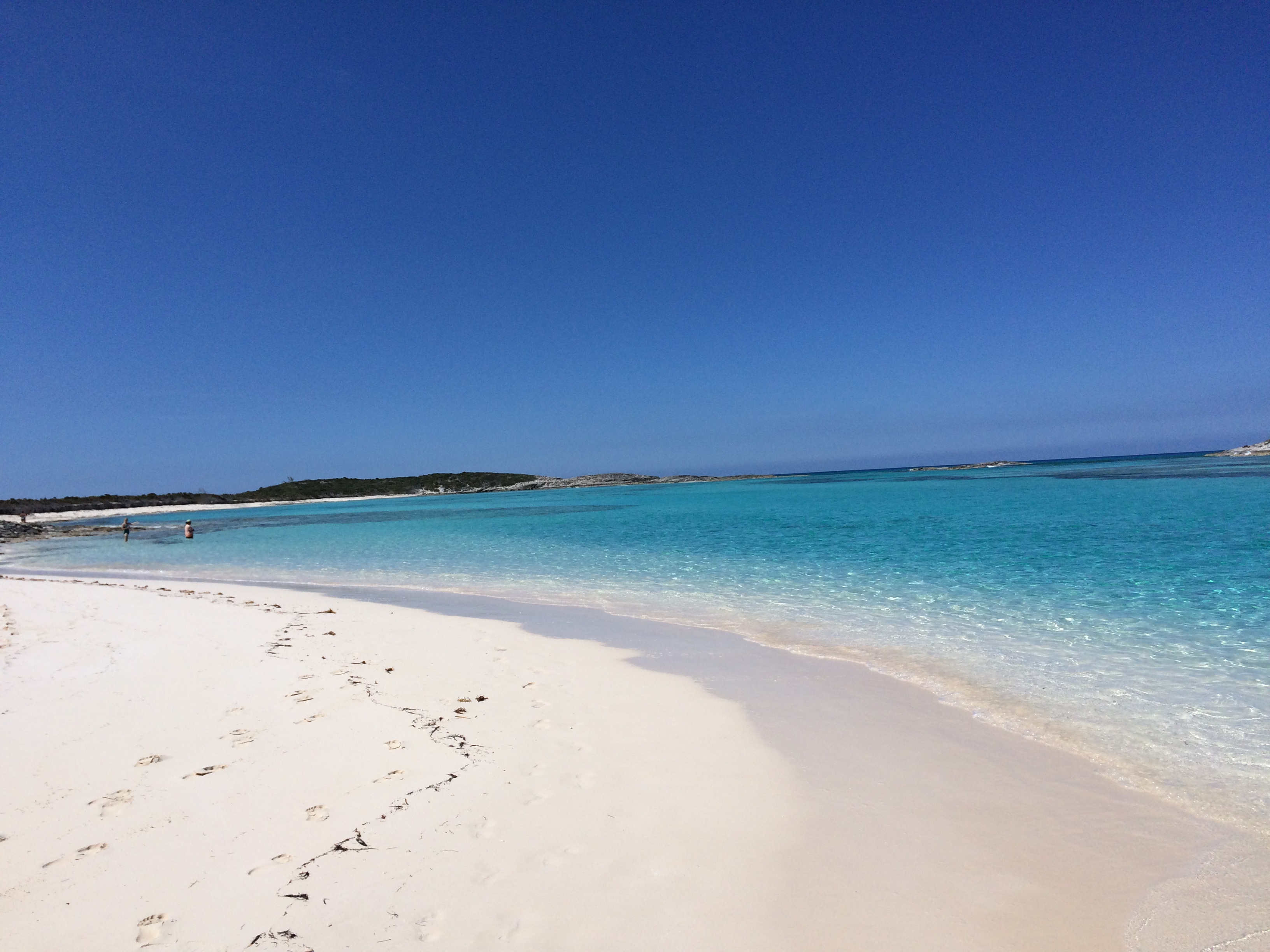
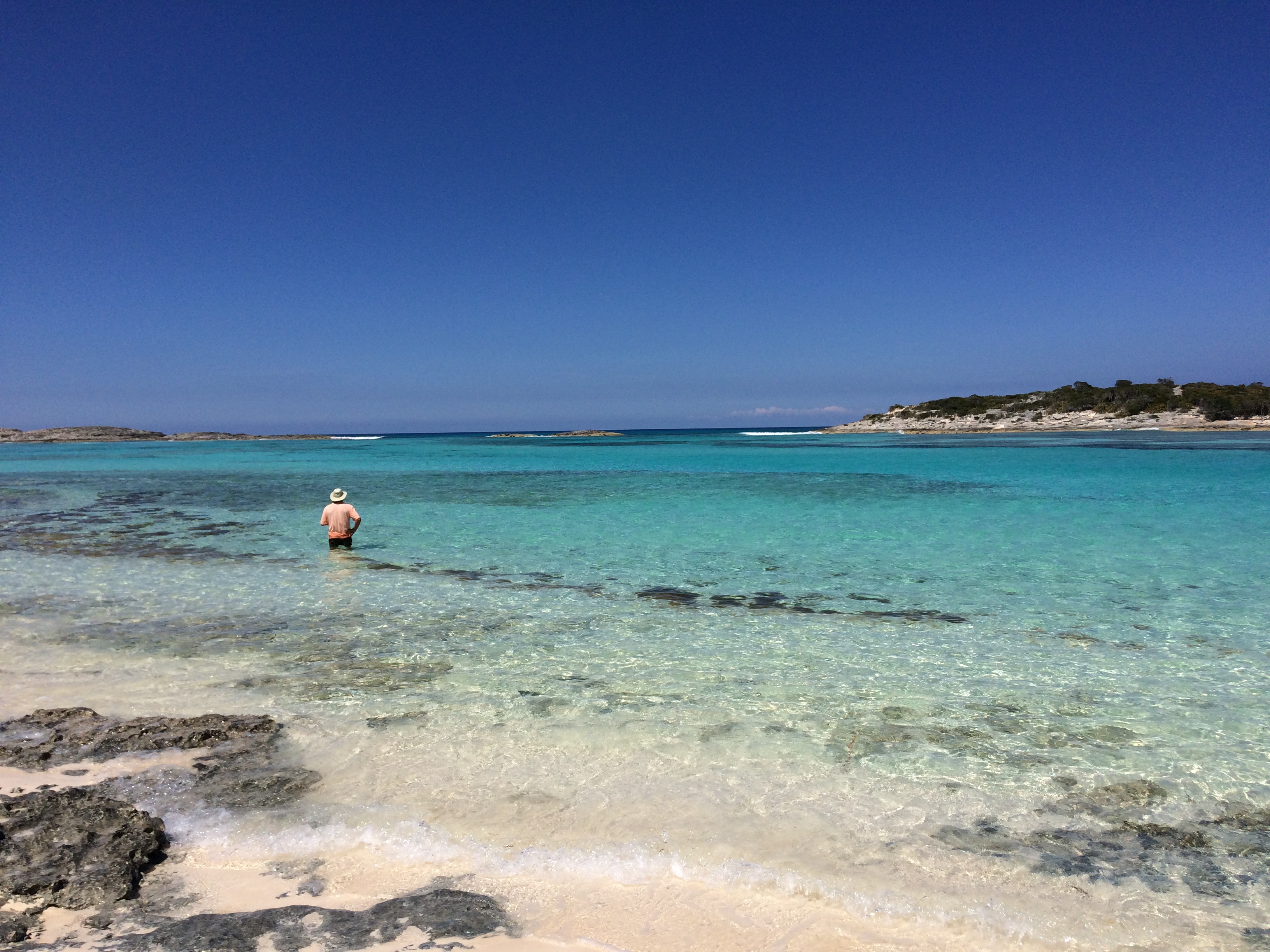
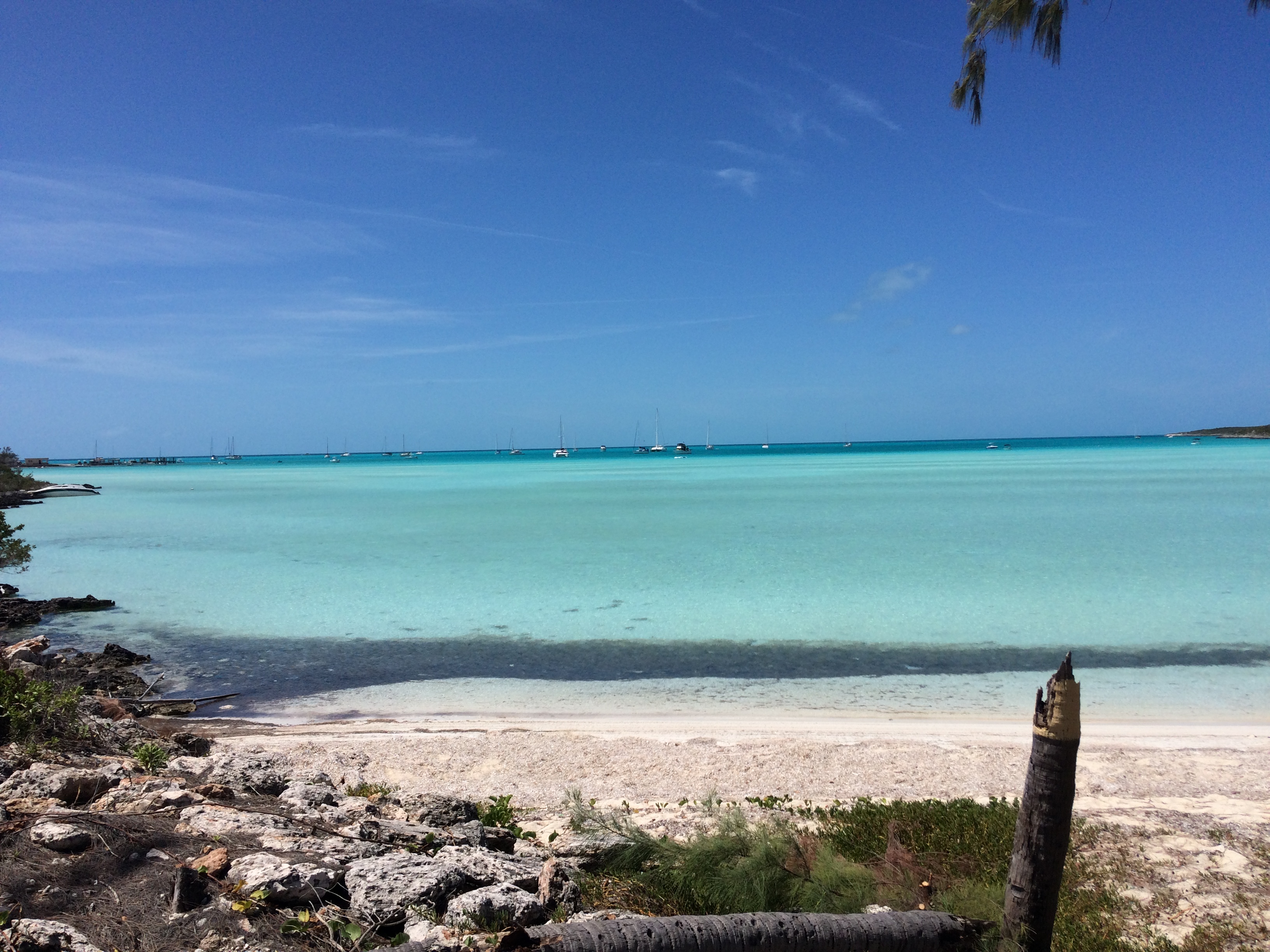
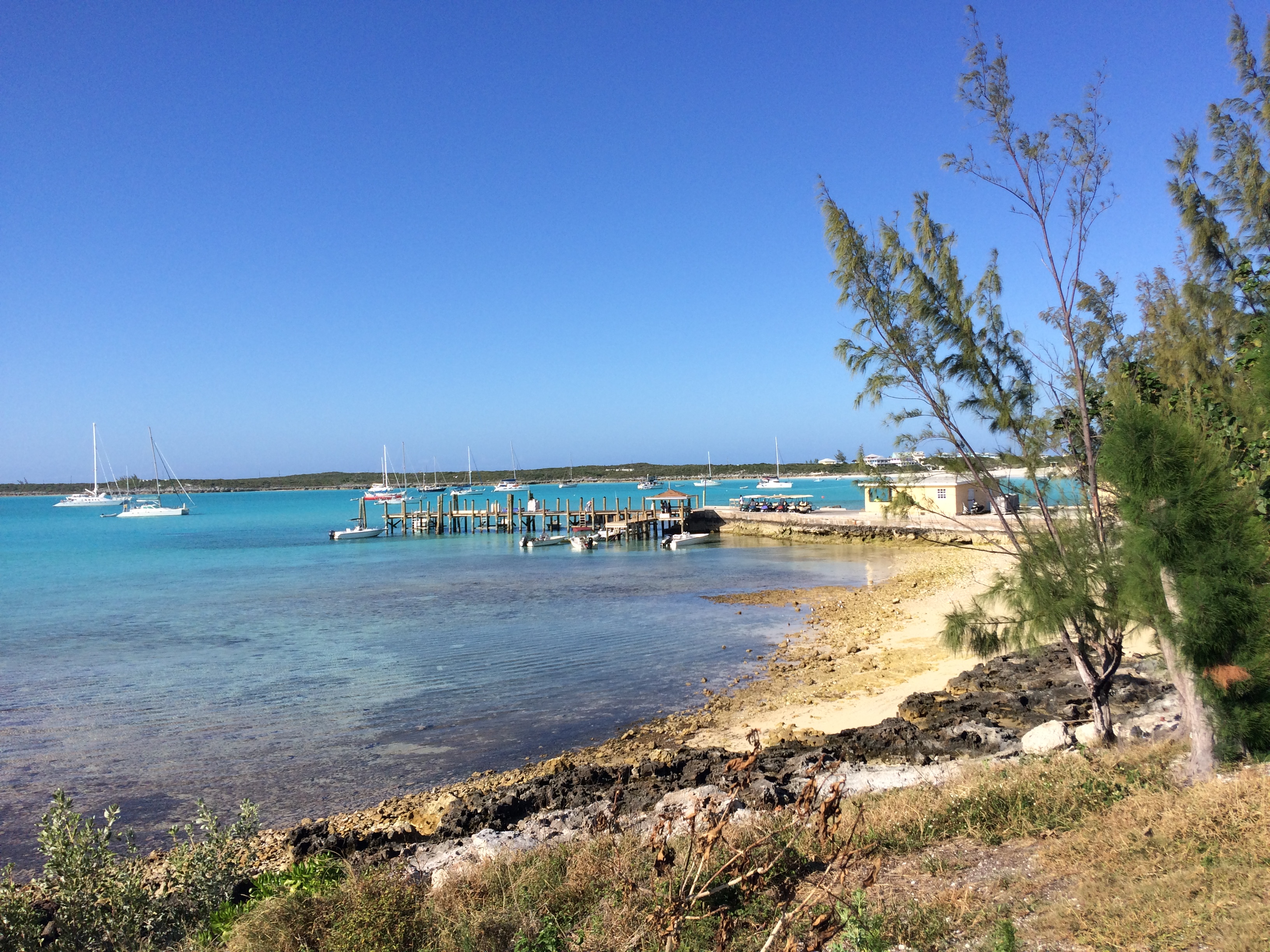
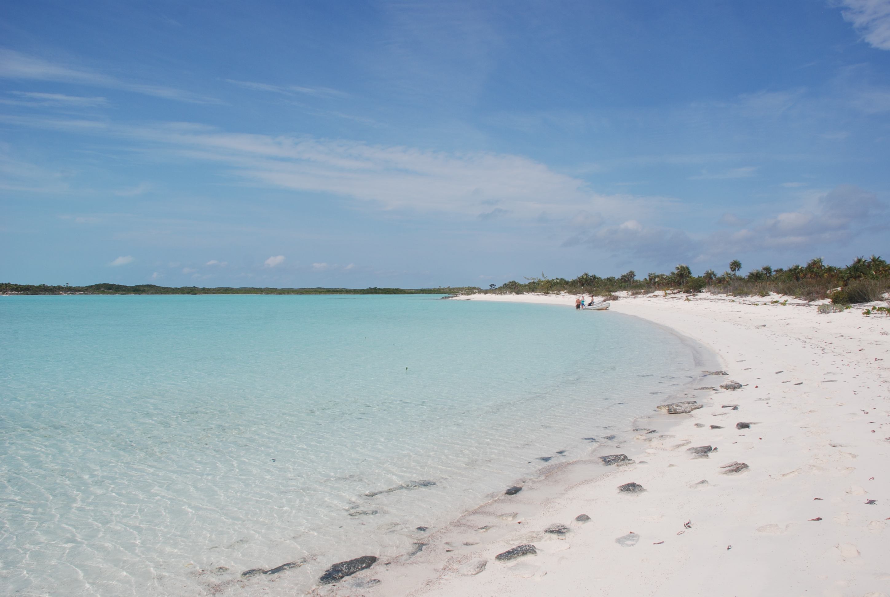
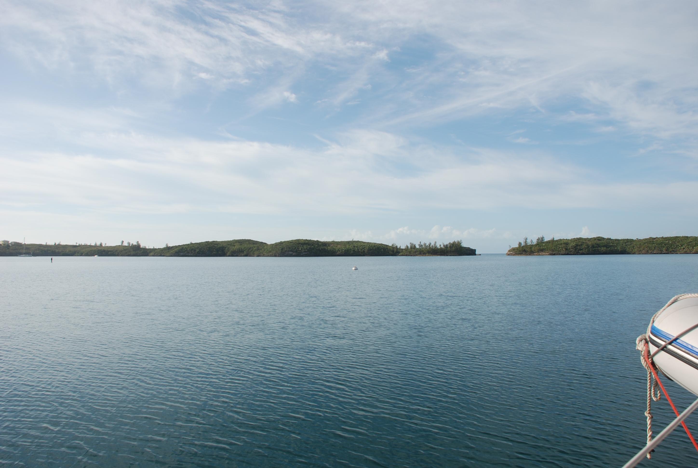
DSC_0461
Views of the bay:
DSC_0468
DSC_0467

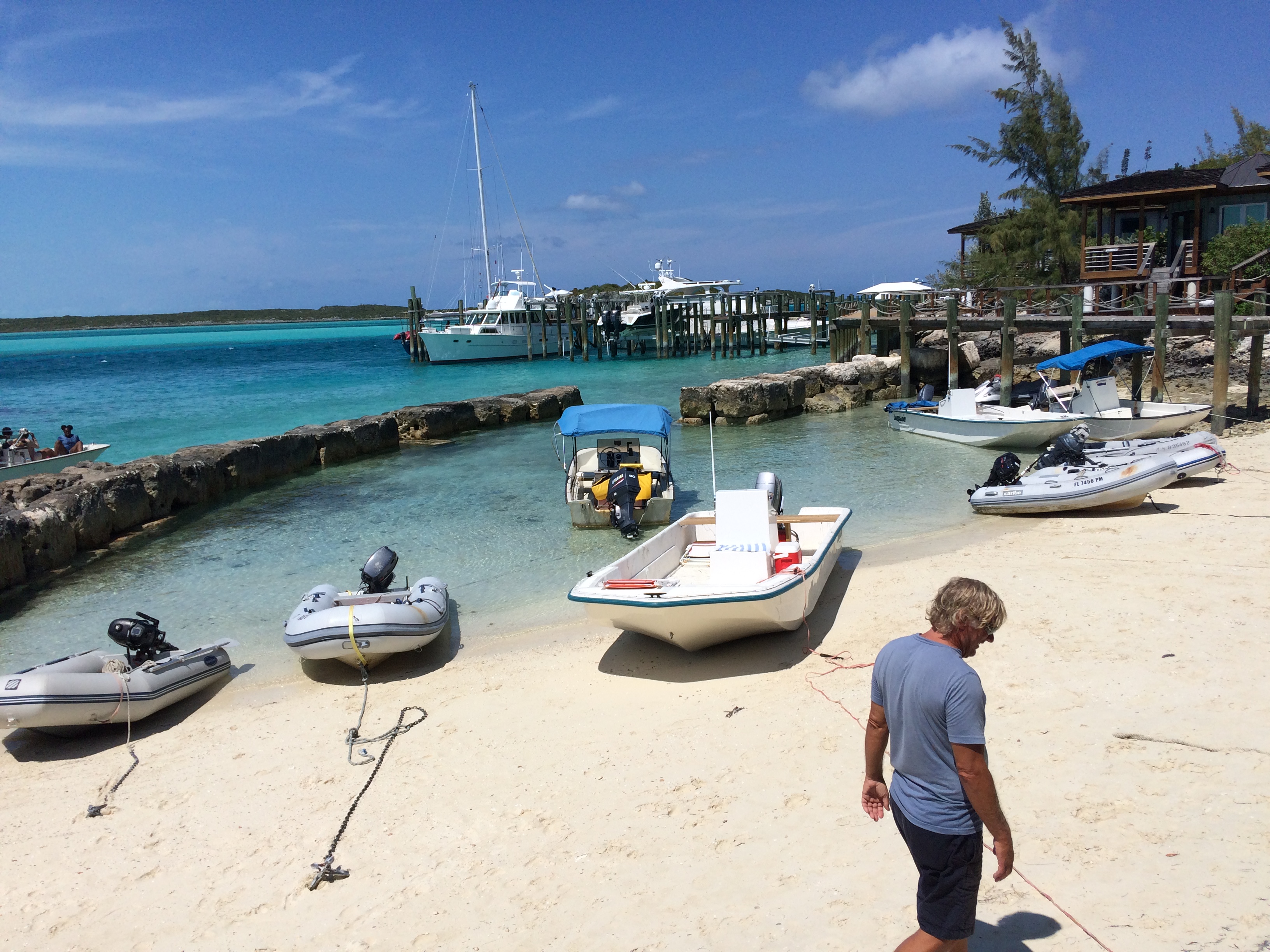
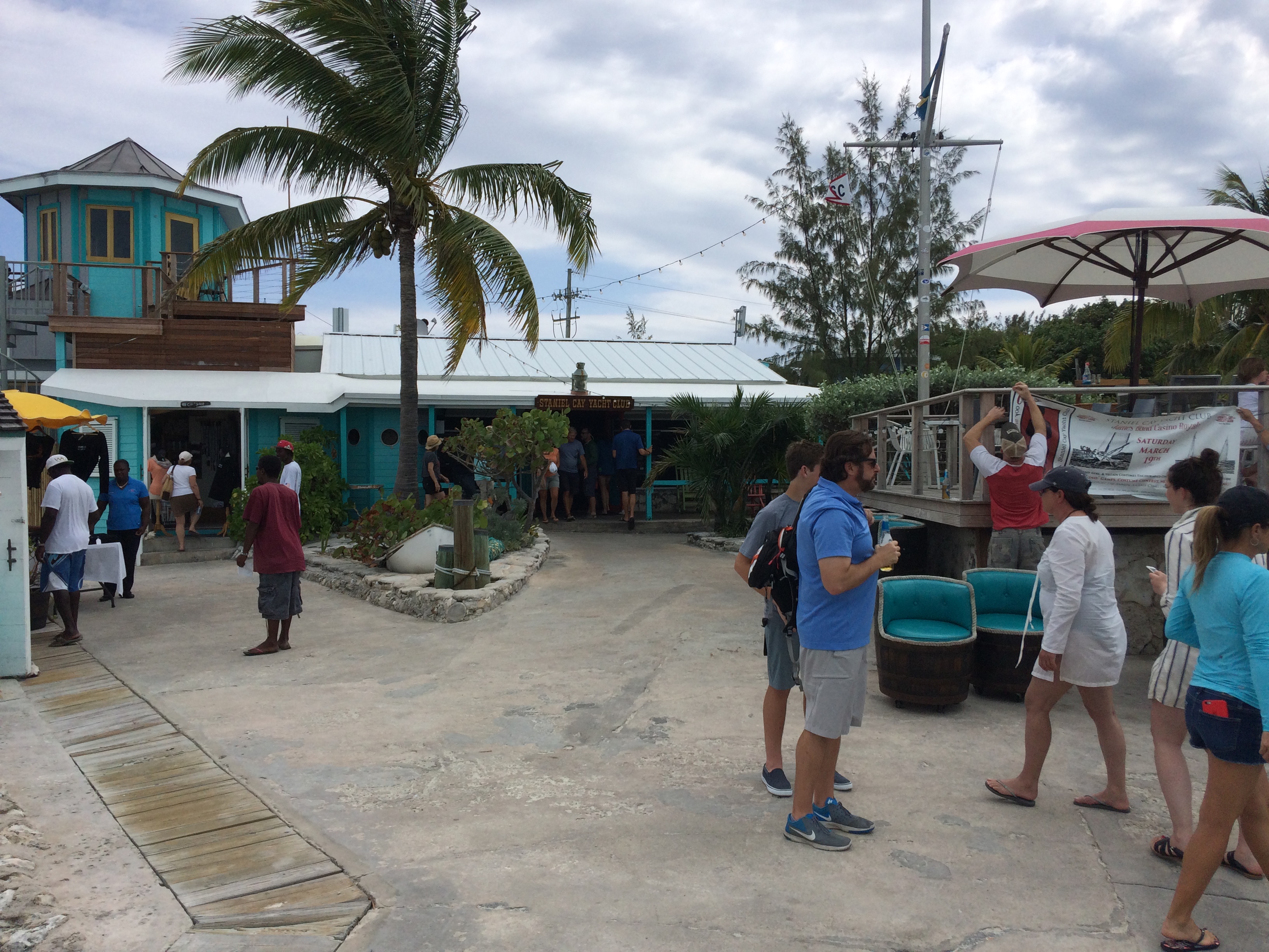
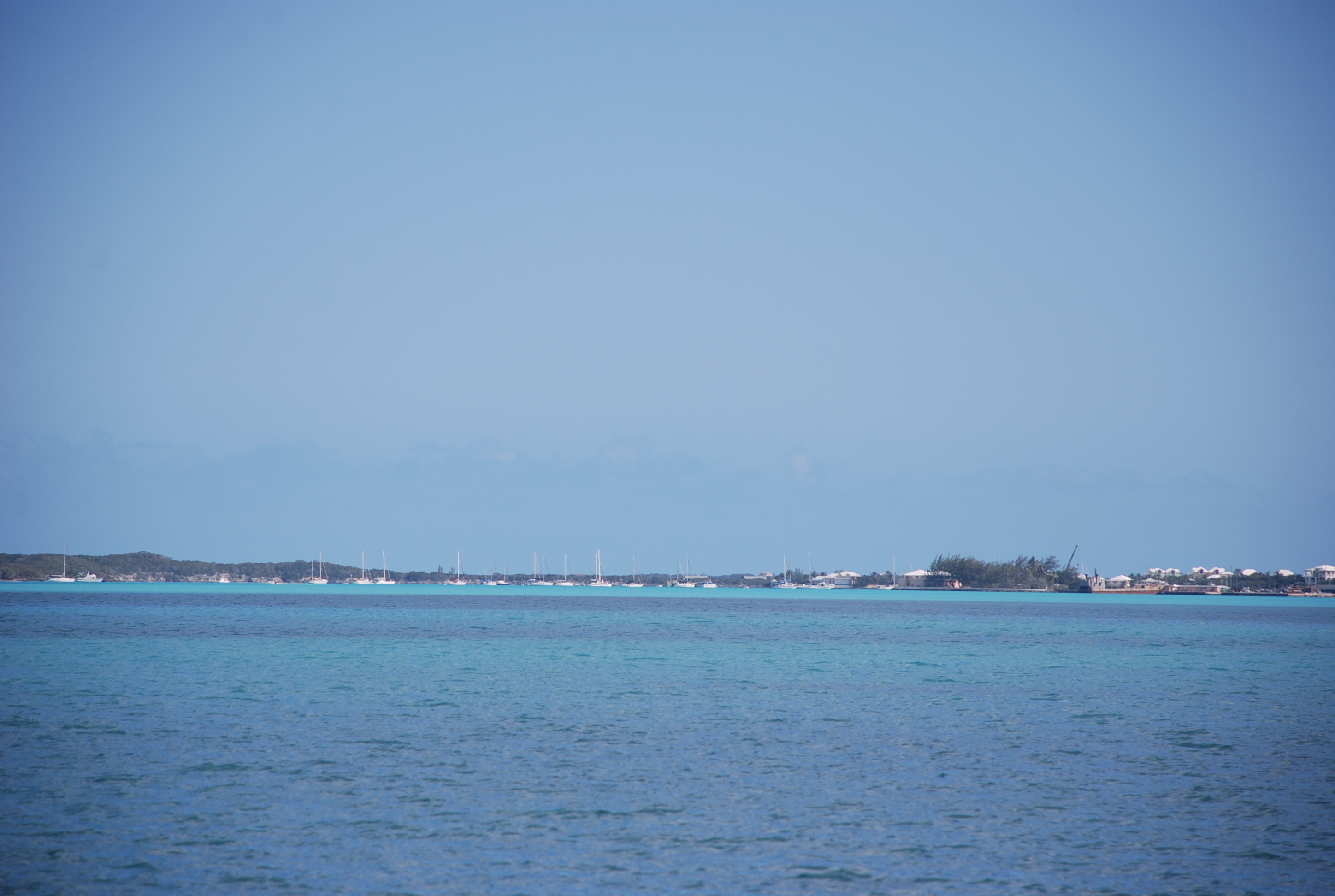
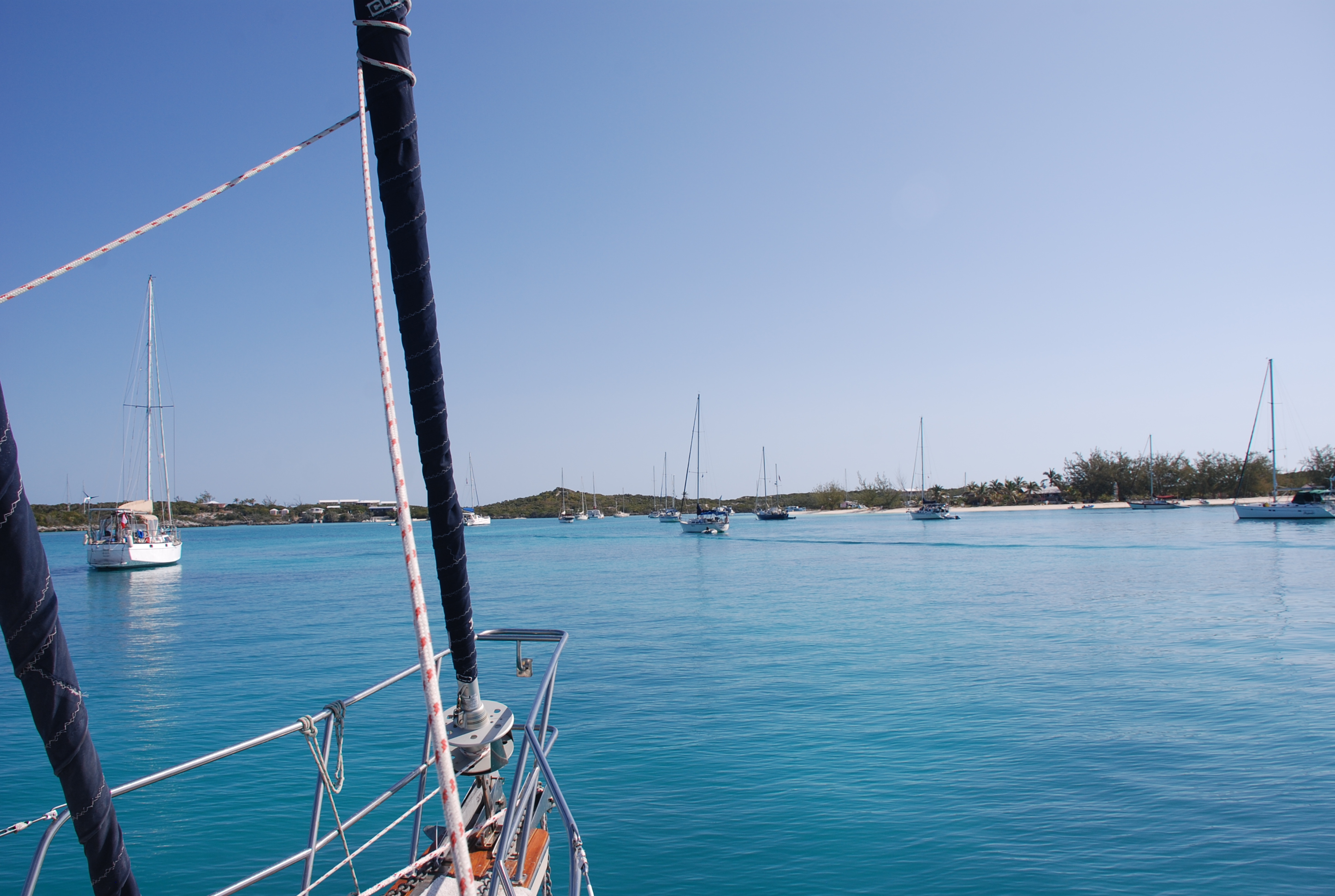
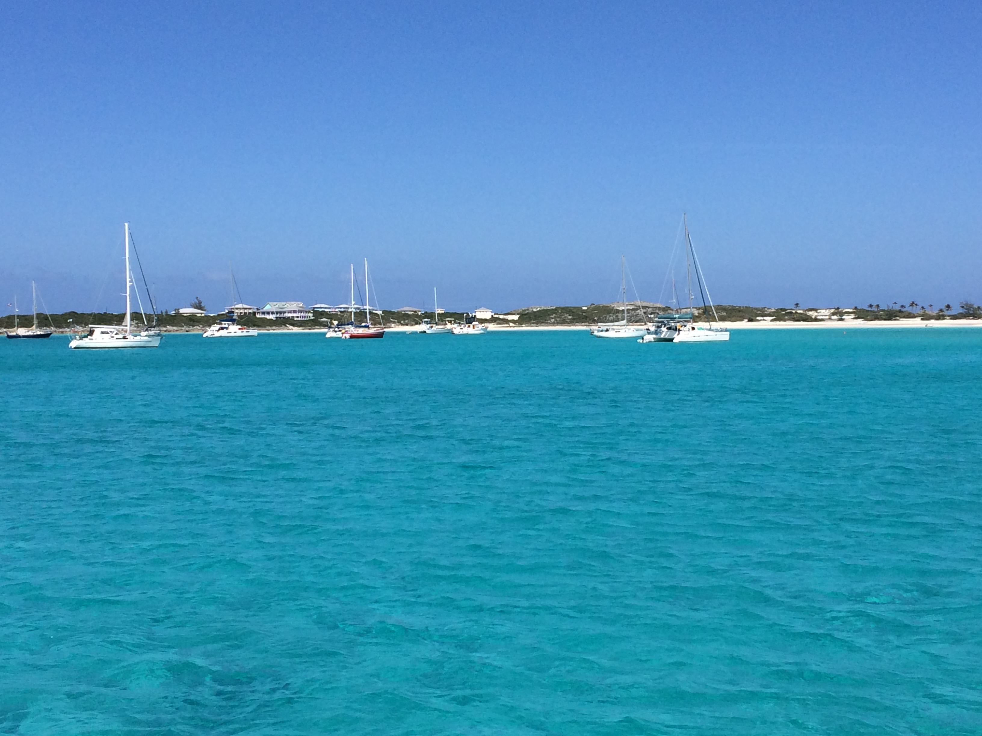
Today we had calm winds and relatively calm seas, so we upped anchor and motored to Spanish Wells on the north end of Eleuthera. Another front is moving in tomorrow, and we grabbed a mooring ball in a sheltered spot to weather it. There have been reports that the moorings aren’t well maintained and that they have broken loose recently, sending boats adrift, but ours looks ok, and there are no good places to anchor here. There aren’t any good places to land a dinghy in town either, and we had to tie up to a concrete wall about 4 feet above the dinghy. We threw out a stern anchor to keep the dinghy from hitting the wall while we were ashore. Spanish Wells is a quaint Bahamian town, much like some of the towns in the Abacos, with well kept colonial style homes painted bright colors. We found a great place to eat and drink called Buddha’s. Buddha greeted us as we walked up and promised us great food and a happy hour. We hitched a ride on a golf cart to get there and the driver told us that the conch fritters and cracked conch was the best around…boy was he right…both of them fantastic. We retreated home to an infestation of no-see-ums…major bummer.

We will wait out the weather and enjoy this town. Looks like we have a good weather window to cross to the Abacos on Sunday, and that is our current plan.

Two new Ass Captain award recipients

3/26/16
Posted by Bill

Those who follow the blog regularly know of the Ass Captain awards. Inspired by Ass Clown in the movie Office Space, the Ass Captain is an award that goes to boaters doing stupid shit. Here are the latest two…

Award one goes to the 50 some foot trawler that anchored on top of our buddy boat, Island Bound, in Big Majors Spot. They put out about 30 feet of scope when they should have put out at least 60, and then proceeded to drift over Mark and Jan’s anchor. When Mark and Jan went to pull anchor when we left, they had to literally get under the back end of the trawler to retrieve the anchor. Their boat name had Idaho in it, and we affectionately called them Mr Potato Head due to their stupid antics while they were anchored near us.

Award number two goes to a 50 something foot sport fishing boat that was going south near us as we went north to Ship Channel Cay. The guy actually swerved towards us to get closer so that his six foot wake could have maximum impact when it rolled our boat. I wouldn’t even give him the satisfaction of knowing it bothered us by calling him out on the radio. What a jerk!

Good-bye Exumas….hello Eleuthera

3/26/16
Glass Window Anchorage, Eleuthera, Bahamas
Position: 25 25.160N, 076 35.559W
Posted by Bill

Well, we weathered the frontal system that kicked our ass for 5 days in Big Majors Spot, and we only got off the boat to go to a Full Moon Happy Hour on Cruisers Beach the day before we left. The 5 days included a lot of rocking and rolling, and not the music kind, and it was damned uncomfortable for the most part, but no one had their anchor drag in the our anchorage, so we deemed it a successful weathering of the winds. Our good friends Hayden and Radeen on Island Spirit rolled in for the Full Moon event, so we got to spend some time with them as well. It was interesting listening to everyone on the marine radio, trying to make last minute arrangements for a mooring ball or a slip in a marina. There aren’t many to be had in the Exumas, and there are very few places to hide from winds that clock through all four directions in a few days time. We stayed tucked up in the NE corner of the anchorage at Big Majors as it was only exposed to the SW and a little to the W, and the worst winds were going to be from the NW, then move N, then move E. It worked well. The following week was supposed to have 10 – 25 knot winds from the E or SE, so we decided to pick up and leave.

On 3/24 we upped anchor and sailed up to Hawksbill Cay, and spent an afternoon on another totally deserted, beautiful beach. We anchored at position 24 28.915N, 076 46.691W. The next day we sailed up to Ship Channel Cay, which has the northern most anchorage in the Exuma, anchoring at position 24 48.645N, 076 49.763W. We basically just lounged around and read. The views were beautiful. Both of those anchorages had a nasty swell that rocked us all night. In fact, we have found very few places in the Exumas where we had a comfortable anchorage, due mostly to the winds, and swells that come from a different direction than the wind. In spite of that, the Exumas were absolutely beautiful and mostly remote. When we emerged from the boat the day we left Hawksbill, we saw that mega-yacht Firefall had anchored next to us in the night.
DSC_0328
We also saw dozens…not kidding…dozens of mega-yachts gathering at the cays around Highborne Cay, just north of Hawksbill. We were figuring maybe a spring break thing? We wanted to dinghy up and knock on the hull of one…”Pardon me, but do you have any Gray Poupon?”
Today we left at dawn and sailed to Eluethera. The first half of the 45 mile trip was with winds and seas behind us on our quarter, which was good. Then we had to turn and deal with them on our beam (side)…not good. Waves were 3-4 feet with a 2 second period and we were getting rolled around AGAIN! I had to hand steer the entire trip to minimize the unpleasant motion of the boat. Good thing was…we had strong winds and made great time, arriving in just under 5 hours. We were expecting 7 or 8 hours.
Eleuthera so far is beautiful! We expect to cruise around here for a week or so, and then head north to the Abacos for April. Our anchorage:
DSC_0353
DSC_0356

Tricia makes it to Pig Beach

3/21/16
Big Majors Spot, Exumas, Bahamas
Position: 24 11.302N, 076 27.492W
Posted by Bill

Our window of really nice weather was coming to a close, so we left Georgetown on the 18th, early in the morning. We wanted to make the ocean leg of the trip in settled weather, and get somewhere by Sunday that would protect us from an impending front. This one is looking nasty again, another week of high winds, this time with winds from all directions over a 3-4 day period. There are not many places that you can hide in the Exumas from north or west winds, so we tried to pick the best spot based on the forecast. As we made our way up Elizabeth Harbor, approaching the cut to the ocean, we started to see huge swells pounding on the reefs just south of the cut. This action created 7-8 foot waves in the harbor at the entrance to the cut, something that we did not expect. We had a really rough time for about 20 minutes until we made it through the cut, where we found large ocean swells with a long wave period. We took the swells on the beam (side), which made a very uncomfortable passage, until further north the wind kicked in and we could get a sail up. Sails smooth the motion, but it was a long day of rolling back and forth. We came back into the Exuma Banks through Galliot Cut, and the current was ripping through the cut, fortunately in the direction we were traveling. We made almost 10 knots of speed through the cut, and as soon as we turned the corner inside, Mark announced on the radio that he blew the water pump on his engine. Fortunately, there was a known anchoring spot right next to us, and he had a spare, so we anchored. He replaced the pump in record time and we were on our way. Thank goodness he didn’t lose that pump in the cut!!!
The wind was very light on the banks and once again you could see everything on the bottom. This water was 15-20 feet deep:
DSC_0316

We pulled into Big Majors Spot around 6 PM. Big Majors is the home of Pig Beach and the swimming pigs. Those of you who know Tricia, know that she loves pigs, and has been wanting to come here since we decided to take off and go cruising. The pigs roam the beach and adjacent area and everyone feeds them. They will even swim out to your dinghy sometimes as you come in to the beach. The other major attraction here is Thunderball Groto, the place where they filmed the underwater scenes for the James Bond movie Thunderball. You can snorkel the caves. There is a great bar on the adjacent Staniel Cay, called the Staniel Cay Yacht Club. There is fuel here, and lots of big mega-yachts come here and anchor to check out the attractions. There is also an airport where the mega-yachts fly their guests in and out.

The day after we arrived we went to Staniel Cay, had lunch and rum drinks at the yacht club, and walked around town.
Dinghy landing on Staniel Cay:
IMG_2164
Staniel Cay Yacht Club:
IMG_2151
IMG_2153
Couple of grocery stores:
IMG_2154
IMG_2155
Beach of conch shells:
IMG_2158

Then yesterday we started with a trip to Pig Beach. If you read the blog, you may remember us visiting a cay in the Abacos in the Bahamas called No Name Cay. They had pigs on a beach there, but it was not a pleasant experience as the pigs were nasty and bite, so we were a bit on guard as we approached this one. The pigs at Pig Beach were very tame. Tricia fed them table scraps and pieces of carrot. There were little baby pigs too. It was fun, and Tricia got to finally go to Pig Beach and feed the pigs!
IMG_2178
IMG_2171
IMG_2175
Afterwards, we mixed some rum drinks and headed for Cruisers Beach to wallow. Cruisers beach is a small beach where cruisers over the years have built and/or left things to make the beach more like “home”. There are picnic tables, beach chairs, a fire pit, umbrellas, corn hole…you get the idea. We met some other couples that were partying there as well and a friend that we made at Shroud Cay, Rob on S/V Celebrian.
DSC_0324
Then it was back to the boat for dinner. Last night the winds shifted and caused the boat to roll badly again. It made for a sleepless night.
Today, Mark ran his water maker, so I jugged water back and forth to our boat and prepped for the big winds that were forecasted to hit us early afternoon. The many weather models conflicted, some forecasting 40 knot winds and others winds in the low to mid 20s. It hit around 2:30 and made it rough to dinghy water, so we just hunkered down on the boat. So far we have good wave protection and the anchor is holding well. Tricia is making homemade gnocchi…yum! If the forecast pans out, we will likely be here until at least Thursday.
Our anchorage:
DSC_0327
DSC_0326

One of the mega-yachts. Check out the water slide:
DSC_0323

A few days in Georgetown

3/17/16
Georgetown, Exumas, Bahamas
Position: 23 31.095N, 075 45.550W
Posted by Bill

We departed Black Point on 3/14/16, just before dawn, sailed the Exuma Sound (ocean passage), and arrived at Elizabeth Harbor between Stocking Island and Great Exuma Island at around 4:30. The passage was a bit rolly with easterly swells on the beam, but the winds were light and it was a nice day. We anchored off of what is known as Volleyball Beach. It is on the Stocking Island side of the sound, and there is a well known bar there called the Chat and Chill. This Georgetown area is a cruisers haven. There are over 100 boats anchored somewhere around the sound within a mile of Georgetown, on Great Exuma. Some people stay here all winter, some from November to May, so there is a bit of organized event planning for all of the cruisers that need something to do. There is yoga every day in the morning, volleyball every day at 2 PM, and all kinds of get-togethers like poker, etc… This is way too much of a schedule for us, and we really only wanted to come here to check it out, and to get some provisions and fuel. After we arrived, we hit the Chat and Chill. Classic dump dive bar on a beach with good, but overpriced, rum drinks. The next day, we made a run across the harbor to Georgetown, about a mile or a little more from our anchorage. The water was pretty calm, and we cranked up the engine to get us on plane. About half the way there, I noticed that the dinghy was leaking pretty badly. We pulled into the harbor area at Georgetown and told our friends Mark and Jan that we needed to go back immediately, and figure out how to patch it up. We headed out, bailing out water as we went, made it back to the boat, grabbed repair supplies and tools, and headed for Volleyball Beach at the Chat and Chill. We beached the dinghy, devised a repair strategy, and went to work. Applying a strategic patch, we headed to the bar while the glue dried. Mark and Jan caught up with us and we enjoyed a few Goombay Smashes. We tested the patch, which was successful, only a minor drip of a leak again, and because the service was so bad at Chat and Chill, headed across the way to another bar to have dinner and more drinks.

Coming into the Georgetown area:
DSC_0271
Volleyball beach and Chat and Chill:
DSC_0294
Buddy boat, Island Bound, during sunset:
DSC_0279
Our anchorage:
DSC_0295
Chat and Chill:
IMG_2116

The next day we headed back to Georgetown, buying groceries and liquor, and checking out the BTC store (cell service company). We got some basic questions answered about our phones, one of which is how to keep the prepaid phone number active after we get back home. The customer service rep gave us bad information, but we found out that if we create an online account while we are here in the Bahamas, we can top up our accounts every 90 days via their web site and keep our phone numbers active. In the past we used Mr Simcard to top up and we paid a hefty premium for the service. Now we can pay direct. Georgetown has good provisioning, a decent hardware and marine supply store, some restaurants and bars, and basic needs like laundry and hair cuts. It is larger than most Bahamian towns we come across, but, like all Bahamian towns, still suffers from lack of maintenance and reliable basic infrastructure. The people are very nice and also, for the most part, poor. We babied the dinghy, and she survived the trip. When we got back from shopping, we took Island Bound back over to Georgetown to fuel up.
Typical Bahamian store:
IMG_2118
Georgetown waterfront:
IMG_2120

Today was awesome. We started with a hike to the ocean side of Stocking Island…beautiful…and then up Monument Hill for some fantastic views.
IMG_2138
IMG_2128
IMG_2126
IMG_2140
Afterwards, we took the dinghys a couple of miles south in Elizabeth Harbor and did some really great snorkeling on some shallow reefs, followed by some wallowing at a really pretty ocean cut…totally secluded. Wallowing with the kickboards our former neighbors gave us as a parting gift:
IMG_2147
IMG_2111
IMG_2148

We showered up and headed back to Georgetown to have dinner at a Rake-and-scrape, which is basically a Bahamian barbecue. We had ribs, rice and peas (beans), cole slaw, and mac-and-cheese. It was pretty good! We have enjoyed a week of fantastic weather for a change, but time is running out and the next front is approaching in a few days. We will leave Georgetown tomorrow and head back north to weather the front.

Last day at Black Point

3/13/16
Black Point Settlement, Exuma, Bahamas
Posted by Bill

Today we went into town for a walk, walking out of town to a spot called the Garden of Eden. We expected a nice garden of some sorts, and it turned out to be a bunch of driftwood and shells.
IMG_2107
Oh well…it was really hot so we decided to wallow along the wide beach area.
IMG_2100

Then we went to dinner at Loraine’s Café. They didn’t really have a menu, but just told you what was available. You didn’t know the price until it was time to check out. The food was really good and Loraine is a really nice person.
IMG_2102

Police Station:
IMG_2104

Tomorrow we transit the ocean to Georgetown.

Arriving at Black Point

3/12/16
Great Guana Cay, Black Point Settlement, Exumas, Bahamas
Position: 24 05.931N, 076 24.223W
Posted by Bill

The winds have just not wanted to die down. The forecast extended the high winds another couple of days, but we were tired of waiting and were wanting to get moving south. We decided to slip our mooring yesterday and brave the weather and seas, moving to Great Guana Cay. There is a small town there called Black Point that has several restaurants, a great laundry facility, offers a place to take our trash that has been rapidly accumulating, and offers great protection from the forecasted winds. Unfortunately, we were bashing into the wind and waves the whole 4 ½ hours it took to get there. The entire boat was covered in salt from the spray. We were glad to get there…it was not a comfortable trip. We went ashore for happy hour at a bar called Scorpios. They only have happy hour 3 days a week and we were lucky to arrive on one of the days. We drank their version of Rum Punch, and it was really good. We drank a lot of them and ordered some happy hour food. A good time was had by all!! Every bar has their own version of Rum Punch throughout the Bahamas, and it is fun to try them. This was one of the better ones we have had in our travels, and they even gave us the recipe, something that most places won’t do.

Today we walked over to the ocean side and checked out a blow hole, pretty much if you‘ve seen one, you’ve seen them all. Then we walked through town, checked out the grocery store (pretty good one too for these small cays), walked to a garden of driftwood and shells that we read about, then stopped by Deshamonds restaurant to make a reservation for dinner. You have to tell them what you want to eat ahead of time so they can make sure they have the stuff, and prepare it to time your arrival. Right now we are on the boat, running the generator to charge the batteries, preparing for happy hour (as soon as I get this blog post done), and will enjoy our amazing views until dinner is ready at 6.

The forecast for the next week looks really good, so we will explore Great Guana Cay for another day and then make our way south to Georgetown by way of Farmers Cay. Finally we have good internet access via our cell phones and some WiFi in the restaurants here.
Our anchorage here:
IMG_2091
IMG_2096
Sting rays cruising the town dock for some scraps:
IMG_2092
Local kids play in the water:
IMG_2097
Scorpios:
IMG_2103

Boo Boo Beach

3/9/16
Warderick Wells, Exumas, Bahamas
Posted by Bill

We have been plagued by really high winds, blowing 20 to 35 knots for the last 3 days, and it doesn’t look like it is going to quit for a few more days. We have been glad to be on a mooring ball and have the protection from the waves that we do. The wind still howls, but we are not getting slammed by the seas that it creates. So the good news is that we are secure and protected, and it is absolutely beautiful here. The bad news is that this is a really remote area. There are no facilities, including no place to dump your trash, and the cellular service is very bad and infrequent. We have not been able to post anything since Bimini. It is amazing how much trash you generate. Normally you don’t notice because you can take your trash to a receptacle almost everywhere in the States. It is starting to back up, and of course, there is no place to store trash on a boat.

Yesterday, after polishing some stainless, we ventured ashore to check out the blow holes again, this time at high tide. The wind and spray was rushing up through the blow holes…very cool. We then tried to snorkel. The snorkeling is really great here. We started by drifting around in the dinghy with the look bucket (bucket with a clear bottom to view underwater). There were lots of colorful fish around the coral heads, and we saw some huge sting rays, about 4 to 5 feet wide. They swim by the boat a lot and even jump out of the water. With the high winds, the water was just too cold, and too cold to get out, so we ended up just exploring the sand bars at low tide. We saw lots of starfish, sand dollars, and baby conch. I almost got my wetsuit out so that I could snorkel, but I didn’t want to deal with washing it off with fresh water afterwards and using our precious supply of fresh water. It is very expensive to get fresh water here, and not every place has it. After that we joined the other Island Bound and Sea Lyon for some wallowing, and had a great time.

Today, we went ashore and hiked to Boo Boo Beach.
IMG_2084
We continue to be amazed by how beautiful this place is. Boo Boo Beach is on the Atlantic/Exuma Sound side of the cay, and we were sadly amazed to see all of the plastic and trash along the beach.
IMG_2086
IMG_2087
So very sad. It is really nice to just sit and stare at the incredible view, but we are starting to get antsy to move on. Gotta wait for the weather to turn, and the forecast for next week looks really nice. We watched a boat run aground today right in front of the park office. The channel is very narrow here, but there should have been plenty of water where they were. A park office boat came out to try and tow them off, and for some reason the stuck boat gave them their anchor and anchor chain to tow them. Now, I am not the authority on this, but I would never have my boat towed by the anchor chain. Maybe they didn’t have a long enough rope line…not sure…but the towing was to no avail. They had to wait out the tide. I was close to issuing an Ass Captain award for that one.
IMG_2090

A visit to Boo Boo Hill and some more wallowing

3/7/16
Warderick Wells, Exumas, Bahamas
Position: 24 23.800, 076 37.929W
Posted by Bill

The happy hour on Saturday night was fun. Everyone gathered on the beach by the park office, brought drinks and some snack to share. We met lots of new people. When the sun went down, the Hutia started to come out, attracted by our food. They are like a big guinea pig and this is the only place that they exist. There must be thousands of these things because when we hike we see the poop everywhere. They are harmless as far as we can tell, but I’m not sure I want to be on the cay after dark for too long…lol.
IMG_2068

Yesterday, we took a really long hike around most of the cay and up to Boo Boo Hill. Boo Boo Hill is named from a schooner that sank off of Warderick Wells long ago. Not a single person was found to be buried, and it is said that you can hear the ghosts singing hymns on a full moon. The hill is also the site where people place a piece of driftwood or scrap wood with their boat name on it. Supposedly, you put it here to appease the ghosts and are then allowed to travel further south without negative consequences. Tricia made our plaque. We all went up and placed our plaques on the pile, and are now good to go further south.
DSC_0152
DSC_0173
DSC_0166
DSC_0165
DSC_0180
DSC_0183
DSC_0184

After our hike, we mixed up some Pain Killers and headed out to our own private beach to wallow. This area is chock full of secluded beaches with amazing water and views. Afterwards, everyone came back to our boat for happy hour. It was a fun day.
IMG_2074

Today we did some boat maintenance and Mark made us some water with their water maker. This area is so remote that you can’t get water or drop off trash, and the cellular access is very rare and spotty. I have been writing the blog posts every day but can’t post them until we get to our next stop. We went ashore to the blow holes near Boo Boo Hill. There are underground caves and holes that extend to the top of the land where wind and spray are forced up. With the high winds today the blow holes were pretty active.
The forecast is calling for very high winds until Friday, so we will wait out the weather here where we are protected. We will check the weather everyday and if it lets up we will move on.

Hunkering down for weather in Warderick Wells

3/5/16
Warderick Wells Cay, Exumas, Bahamas
Position: 24 23.800, 076 37.929W
Posted by Bill

Yesterday, we put the dinghy in the water and gave it a good leak test. It leaked no more than it did after we fixed it in Bimini, and it is certainly a manageable leak…very slow. We explored Shroud Cay in the vicinity of our anchorage. There was a really nice bay with a great beach just off the anchorage, and we explored up the bay as far as depth allowed us. Then we went back to the boat to prepare for some wallowing. If you read the blog last year, you know that wallowing is the act of hanging out in the water, shooting the shit, and drinking libations. It is one of the best things to do in the Bahamas as the water is warm, clear, and you can find calm secluded beaches. We dubbed the beach inside this protected bay “Wallow Beach”. Rum drinks were made, and we met our friends on the other Island Bound to wallow. It was a great day to just relax after a long passage.
DSC_0112
DSC_0113

Today we left around 8:30 to head to Warderick Wells Cay. It is the cay where the Land and Sea Park office is. We reserved a mooring in the north field and arrived about 11:30. Upon entering the mooring area, we were amazed at how absolutely beautiful it is here. The pictures just can’t capture it. We took mooring number 9, which is above a sunken boat that you can see as clear as looking through glass if the wind is light. We checked in at the park office and paid for our mooring, then took our dinghies down to the south side of the island to explore a place called Pirate’s Lair. As legend would have it, pirates used to camp out here and wait for ships to pass from New Providence Island/Nassau. The ride over was spectacular as were the views from Capture Beach where the trail to the lair starts. It was cool. We intend to go to the happy hour gathering that takes place every Saturday on the beach by the park office. We are planning to stay for at least 3 nights here, as we are expecting some high winds for most of the weekend and next week. The mooring field is well protected from all directions. There are many trails to hike ashore, and tons of snorkeling areas around the island, and lots of wallowing beaches, so we will keep busy.
DSC_0142