9/2/2024 – Deep Point Marina, Southport NC – Posted by Bill
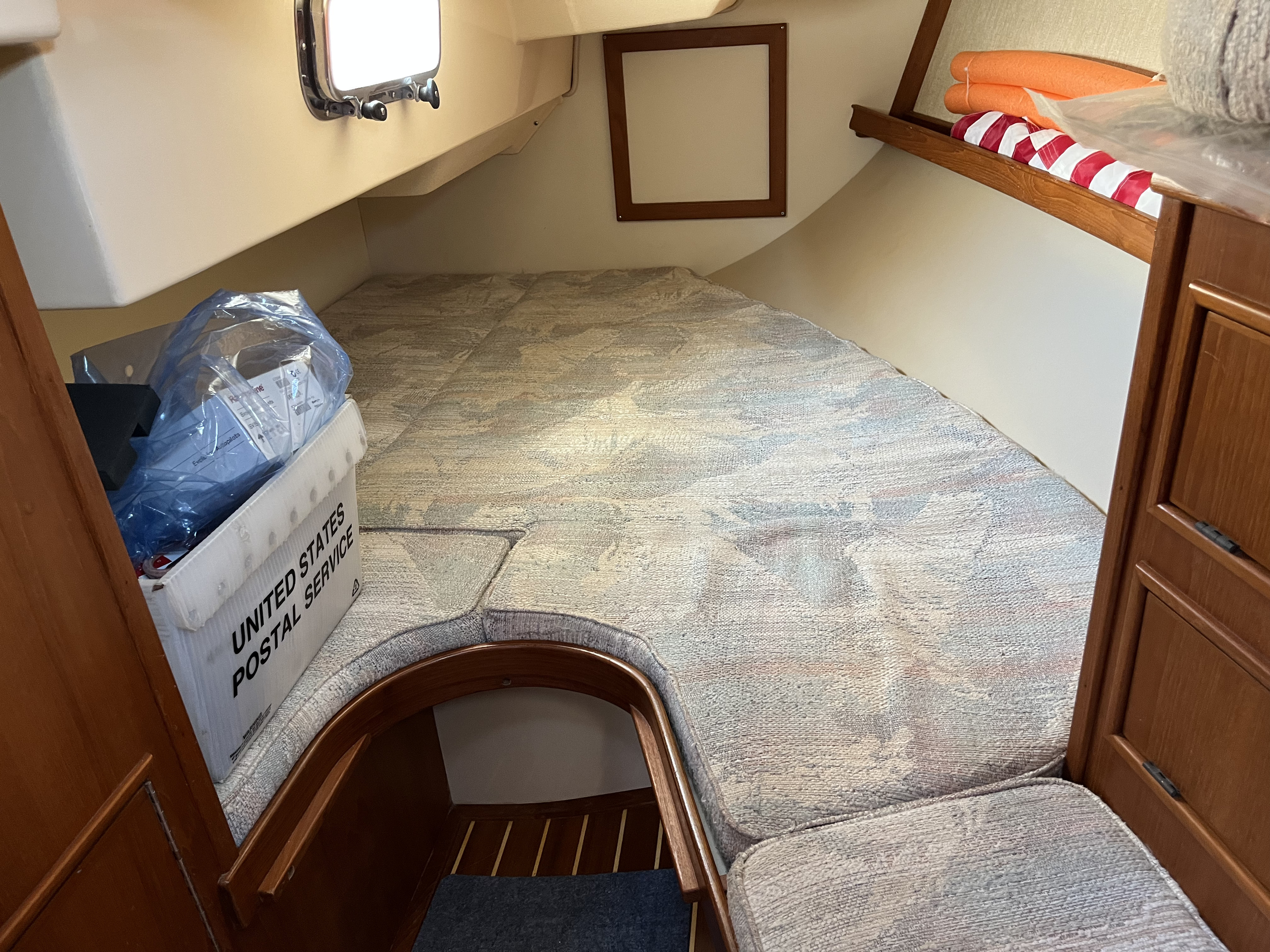
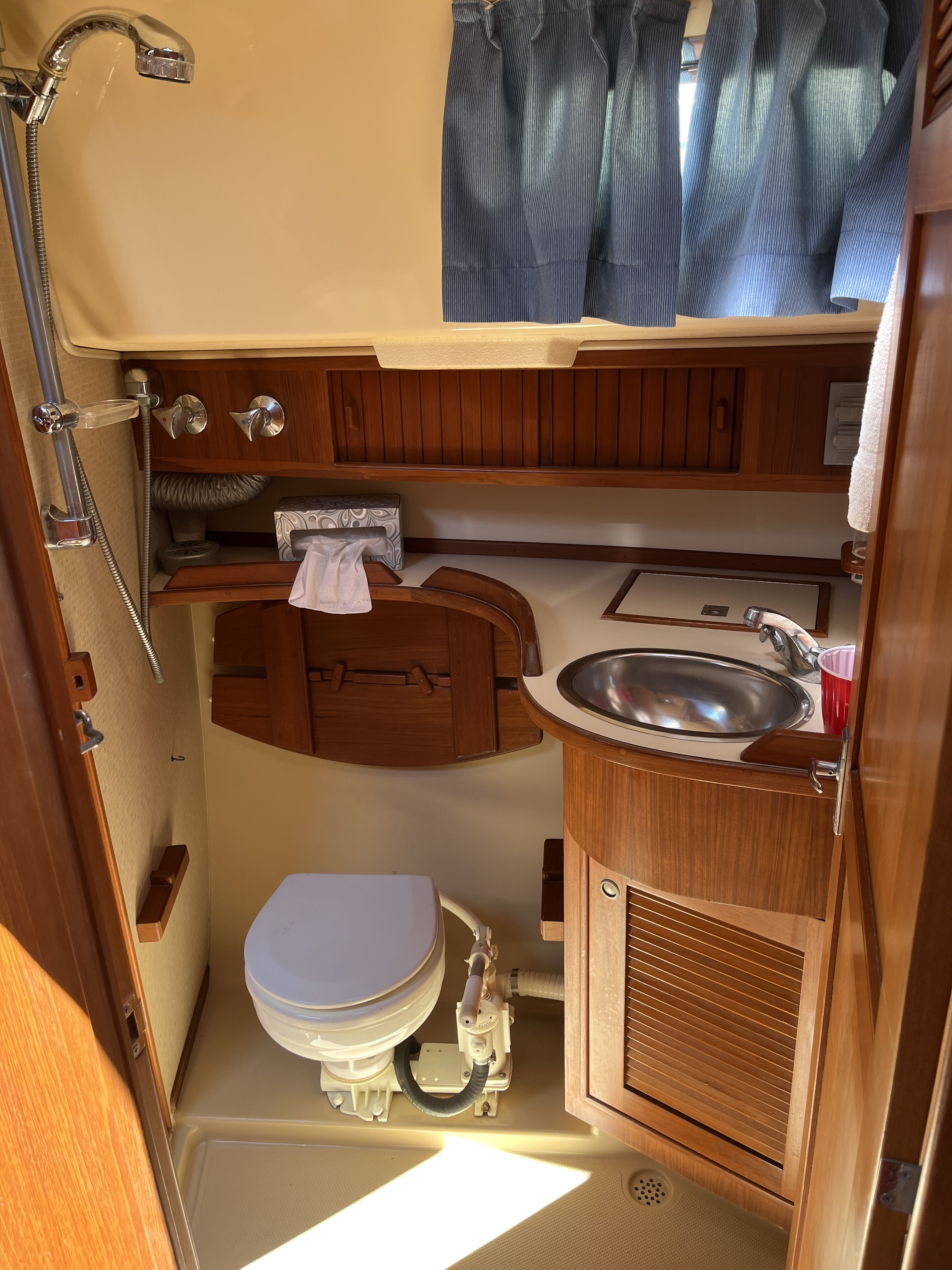
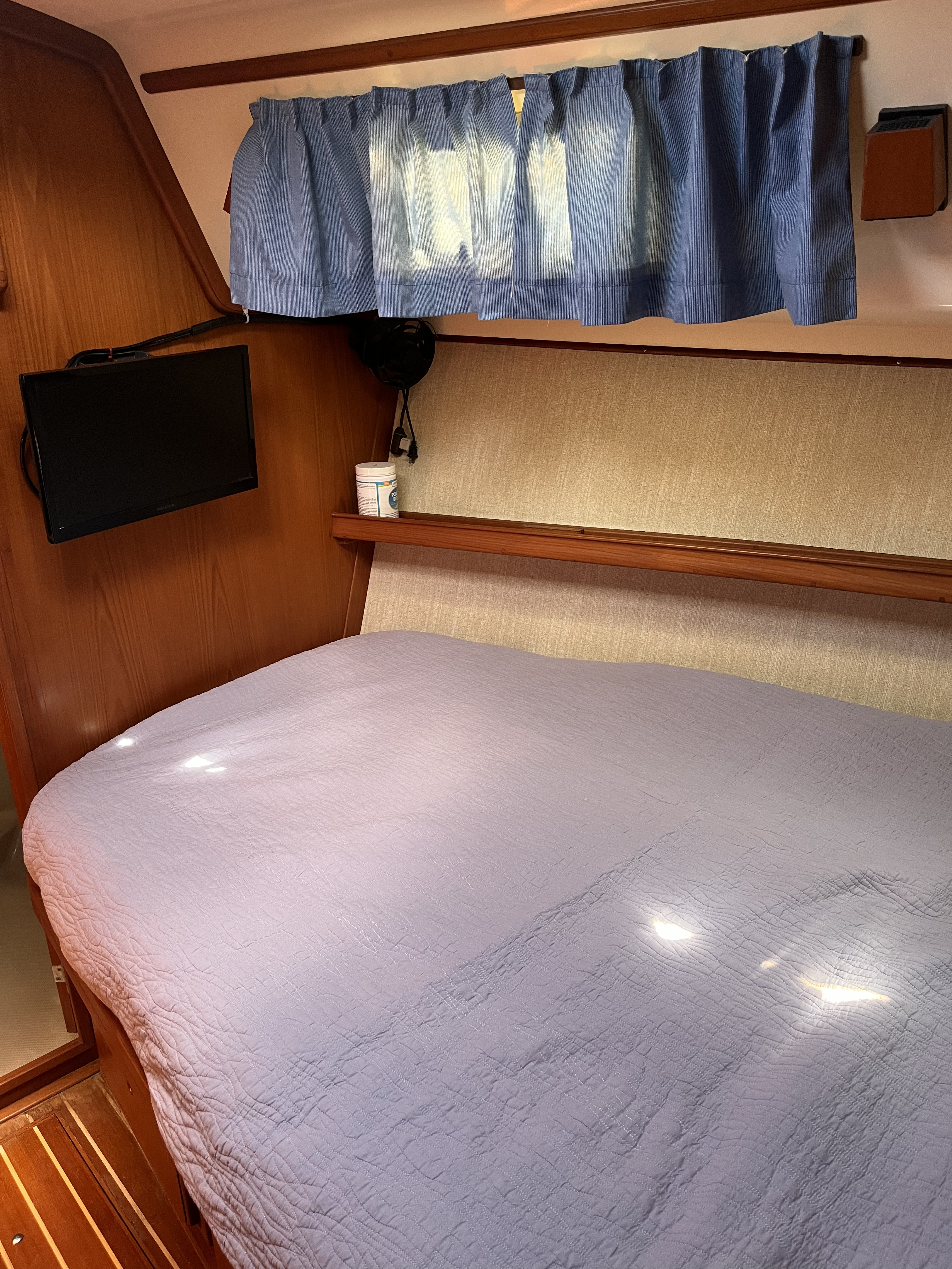
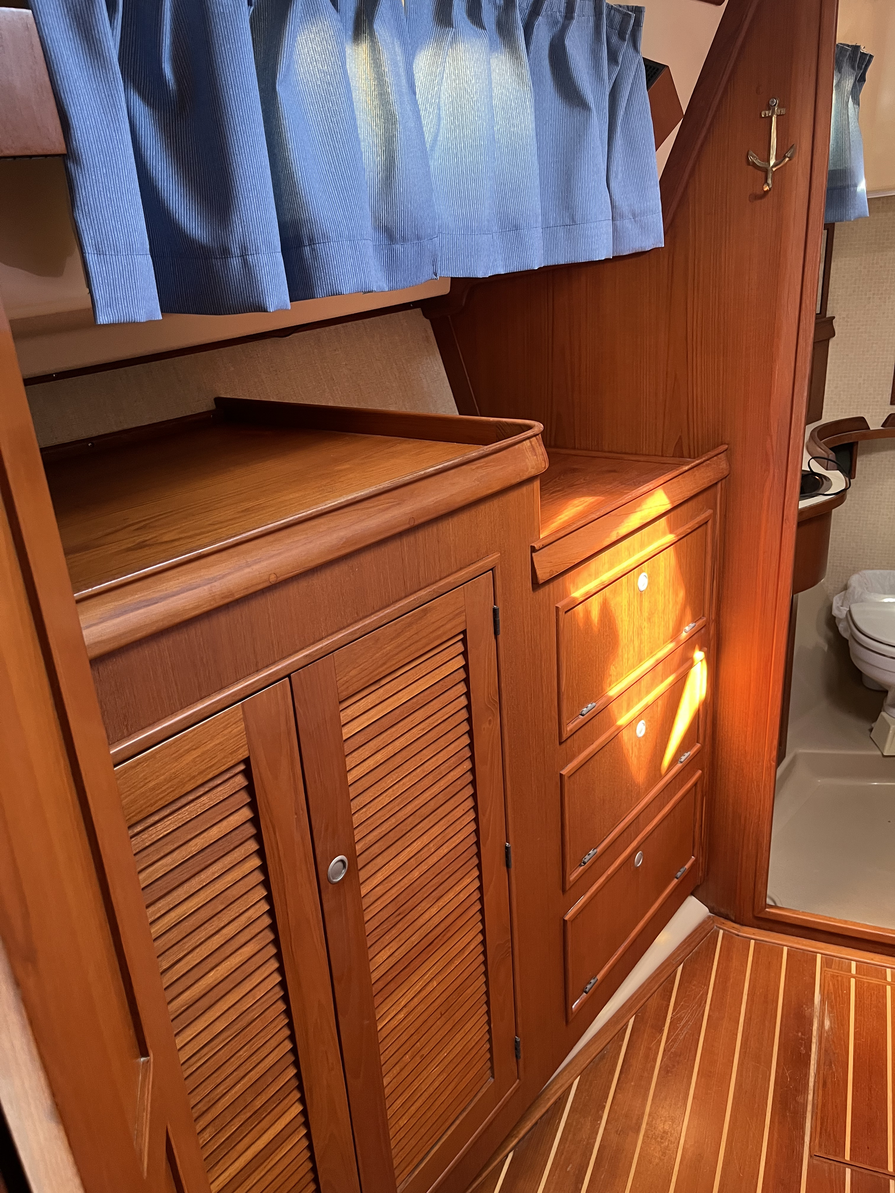
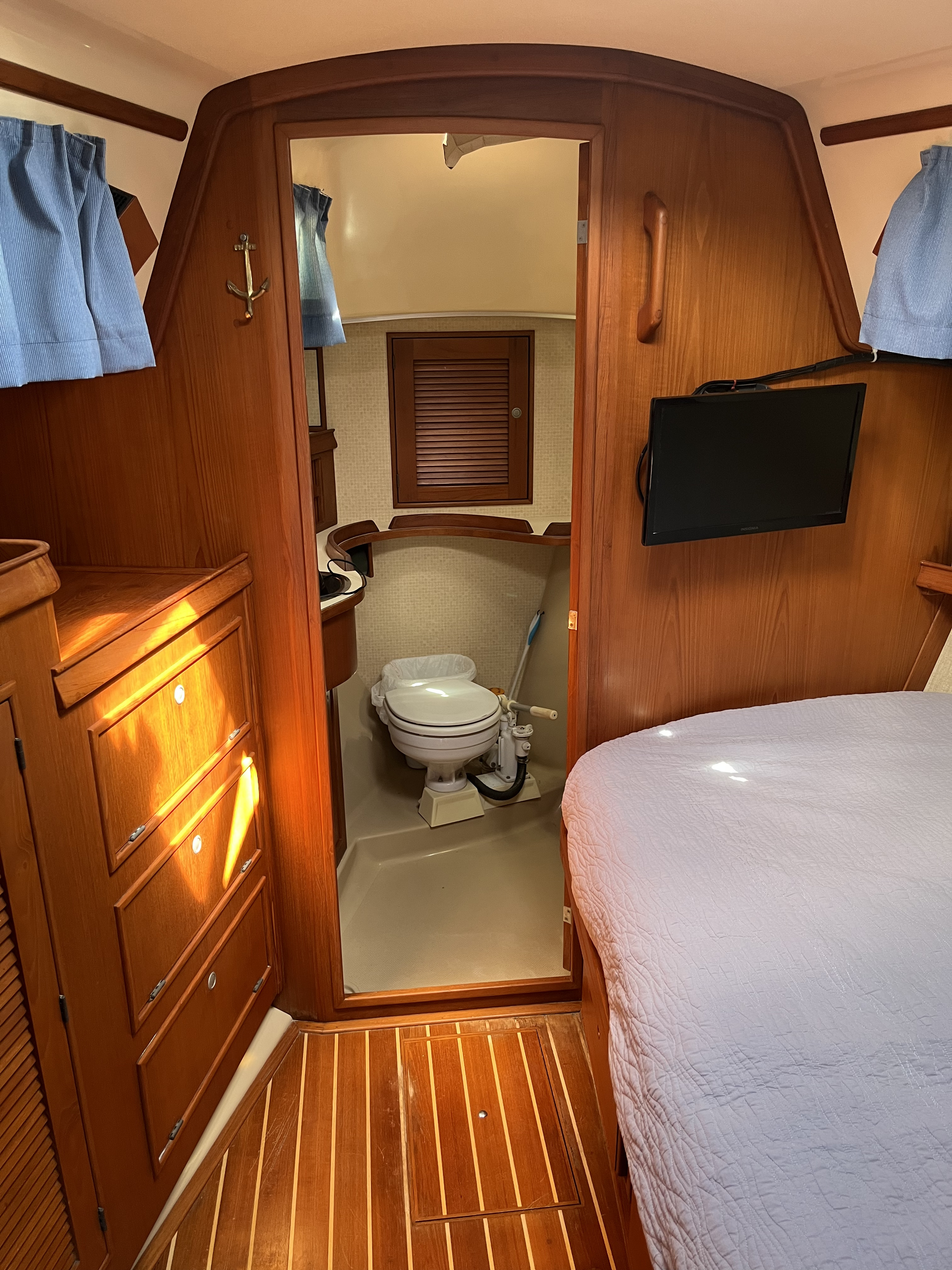
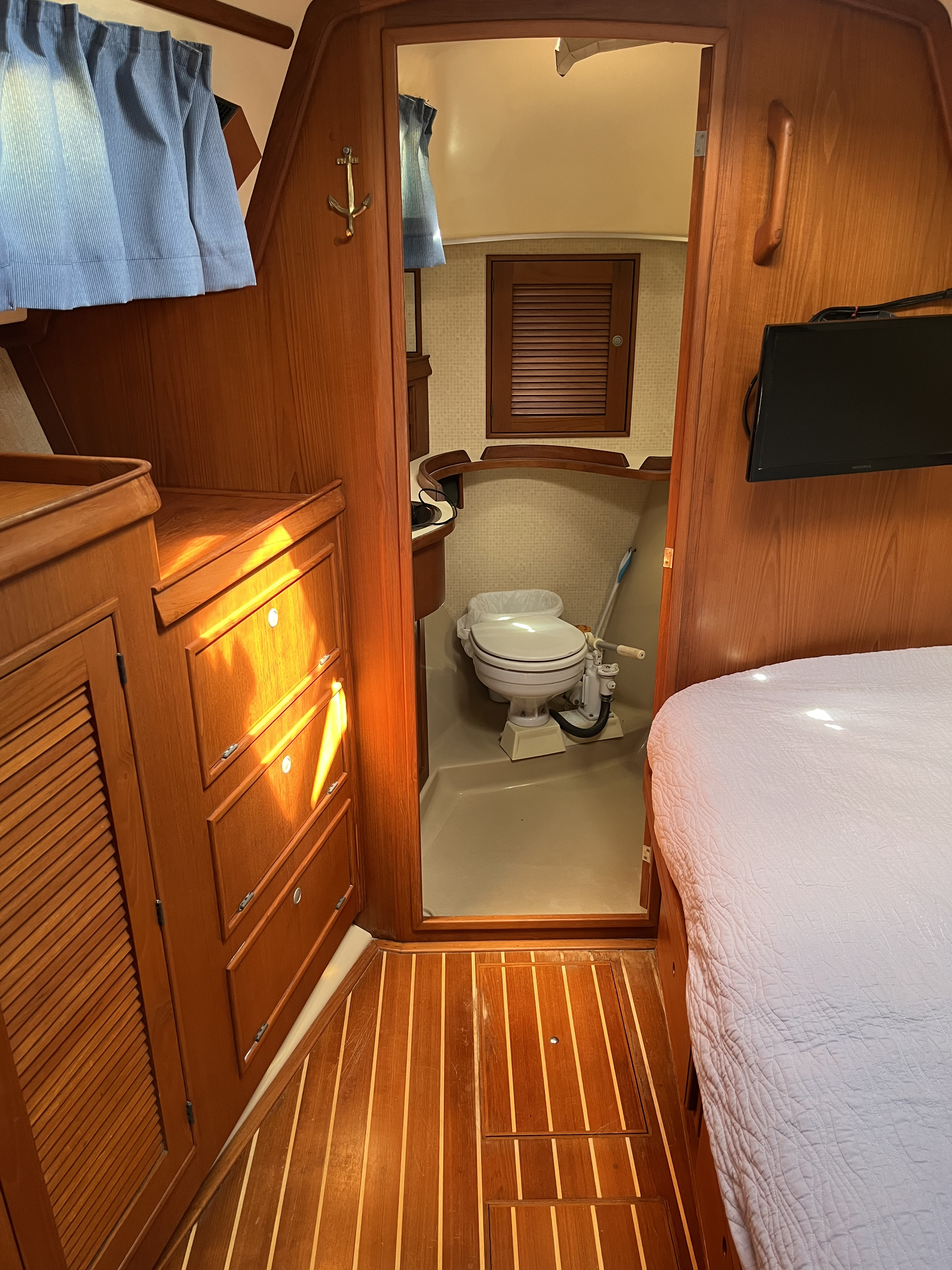
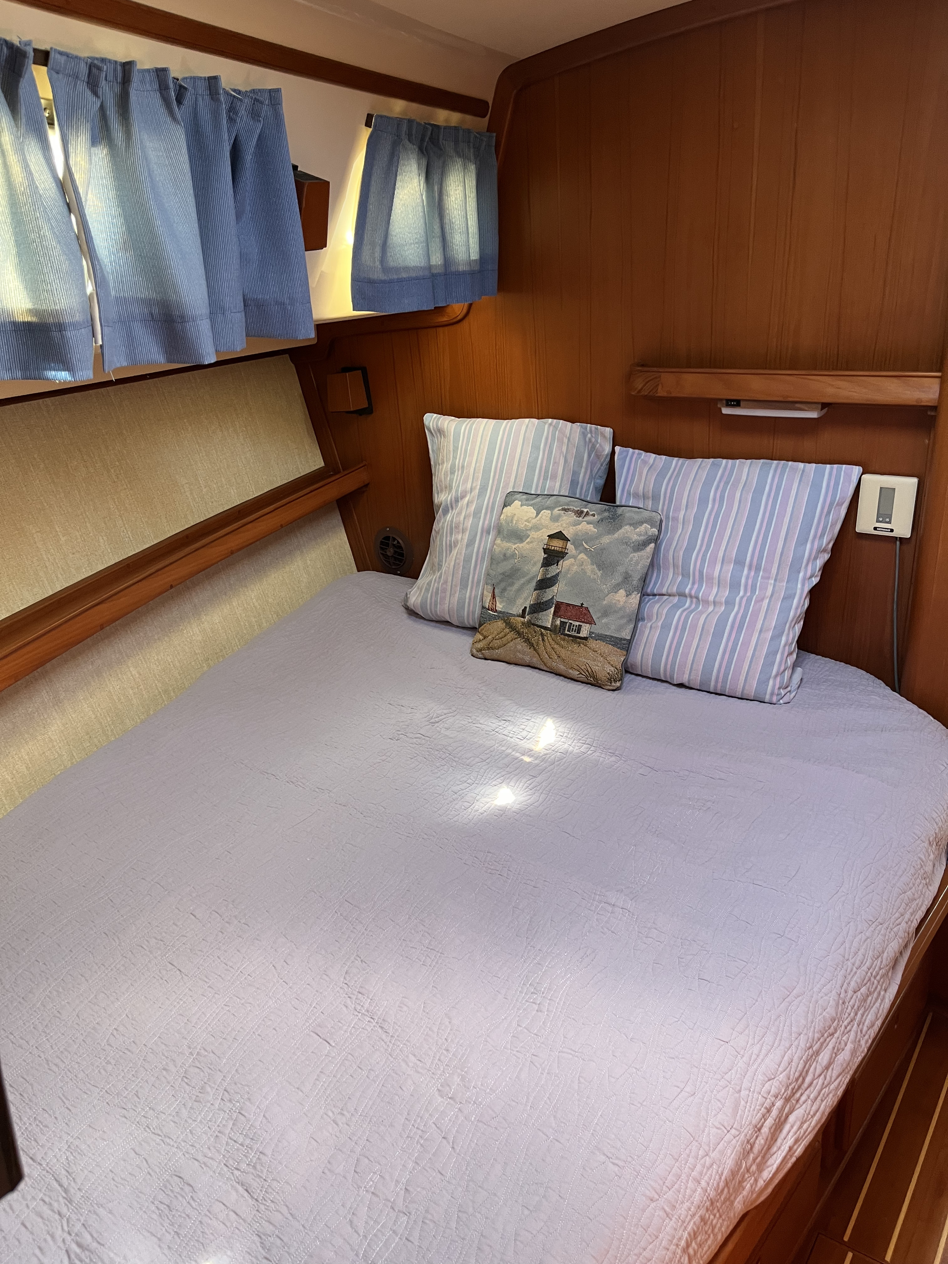
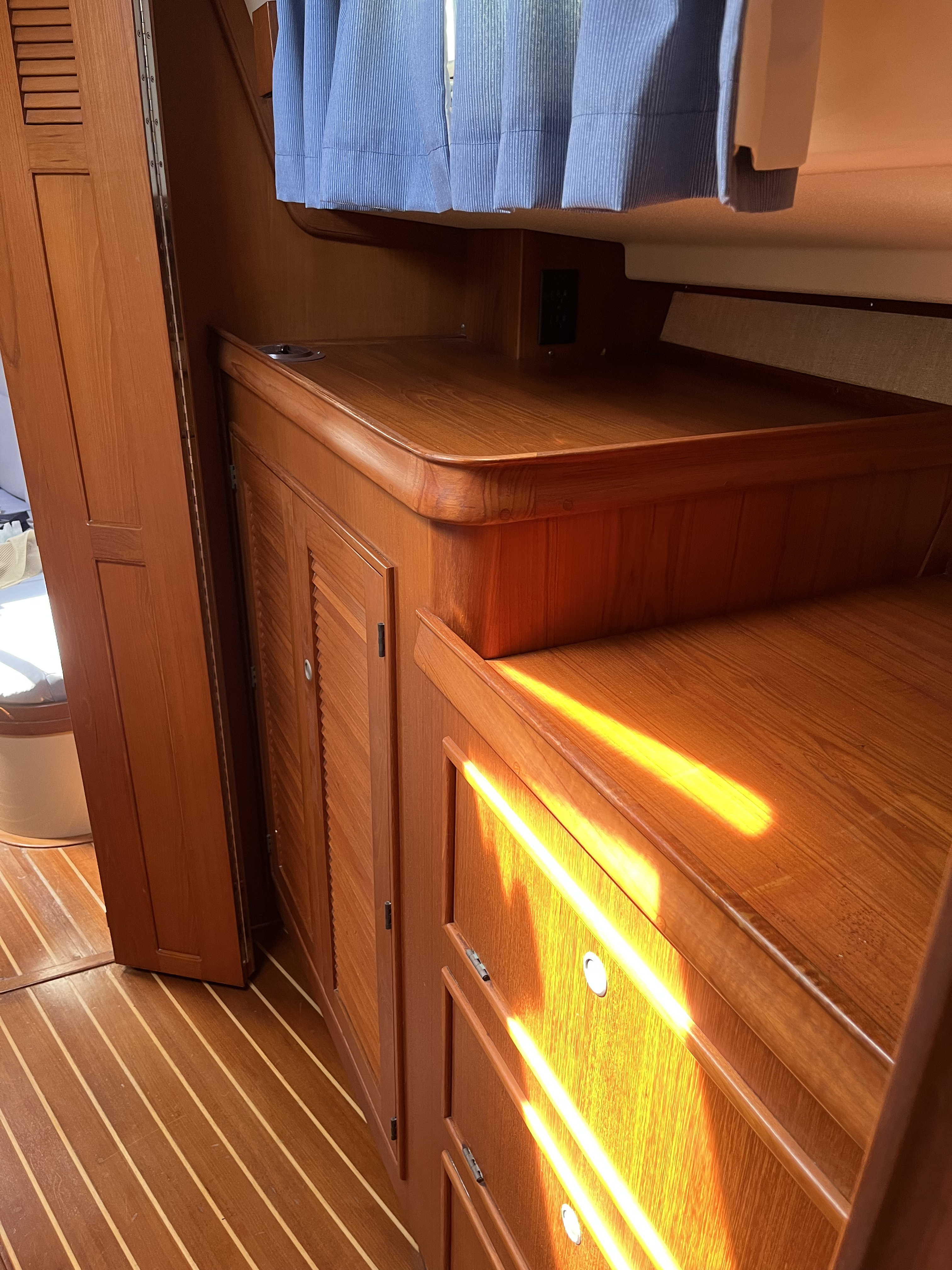
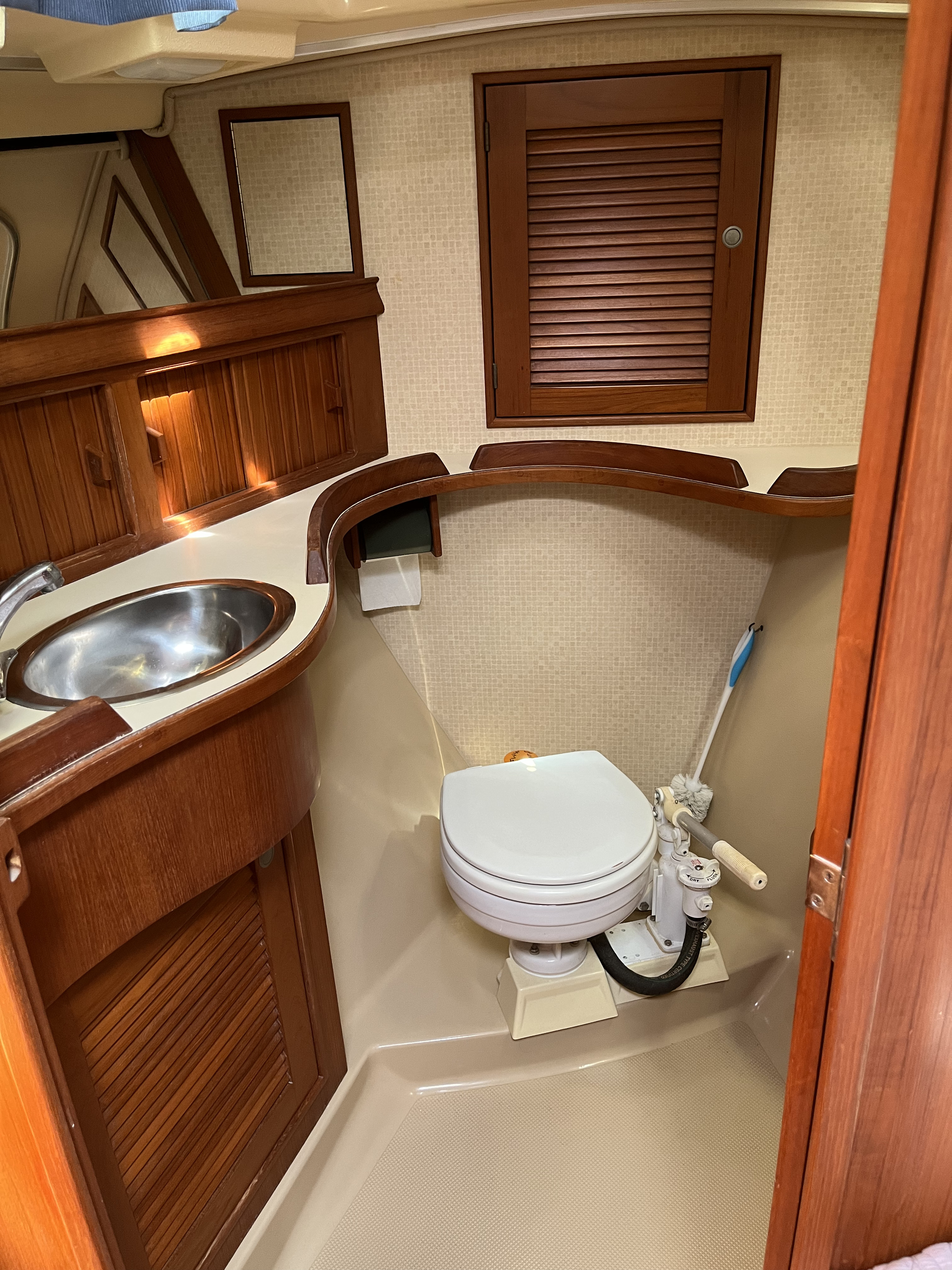
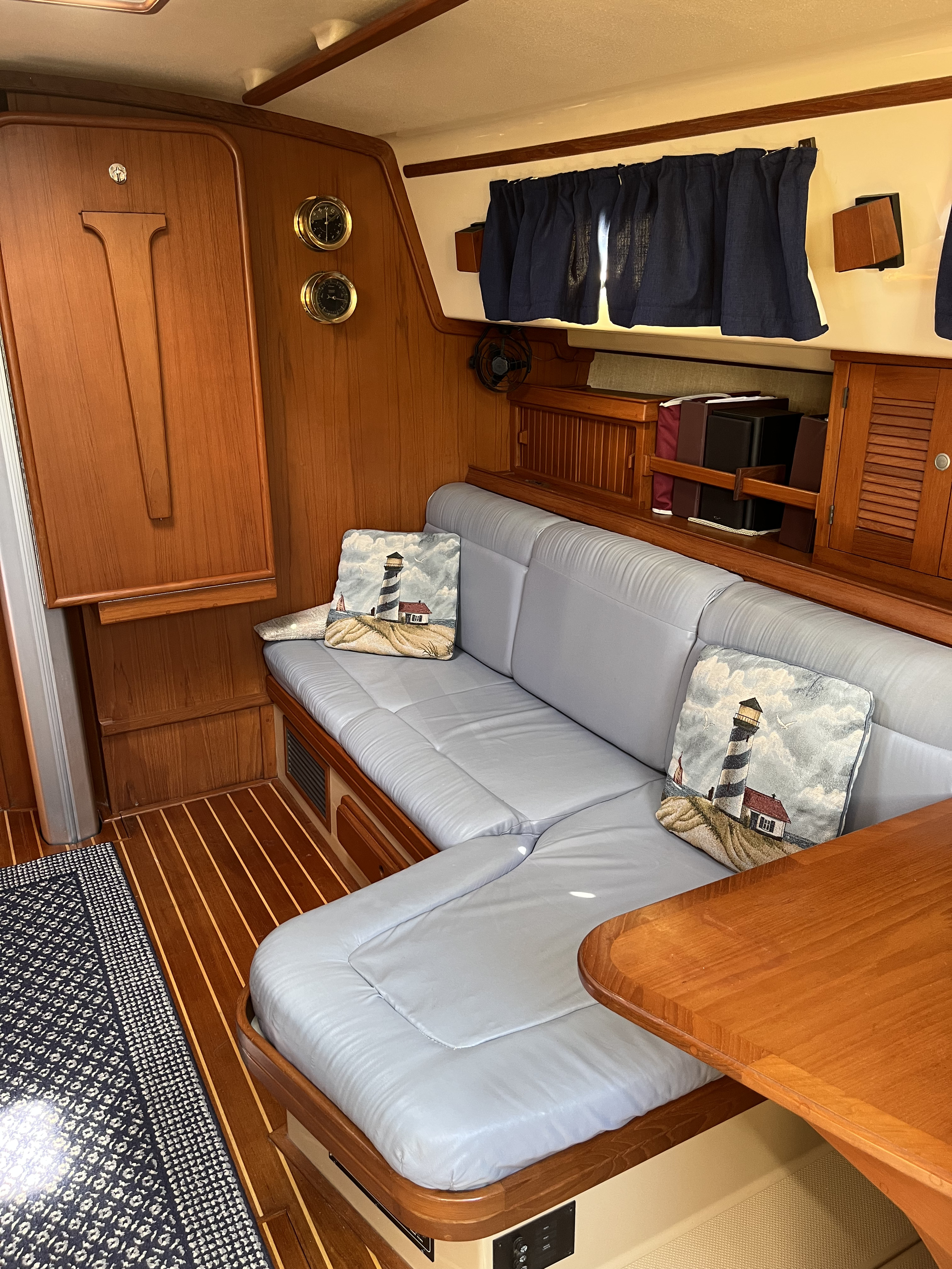
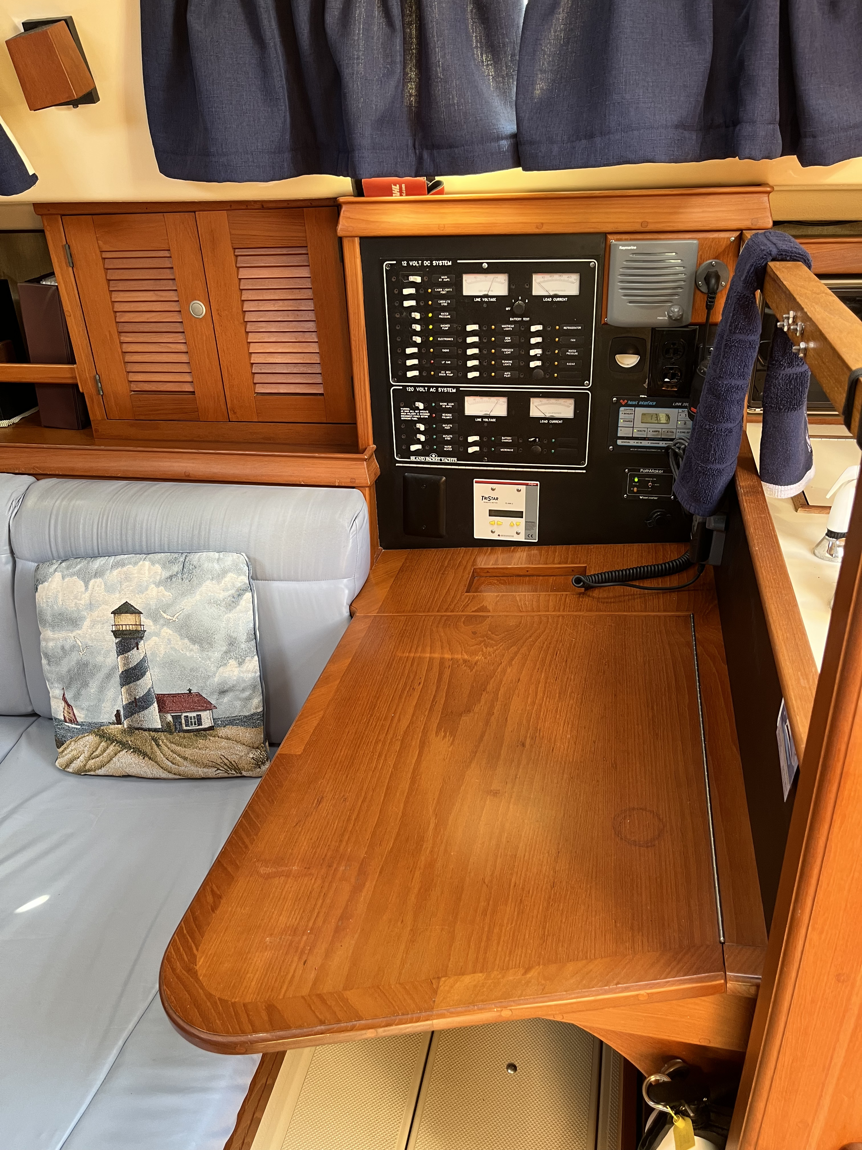
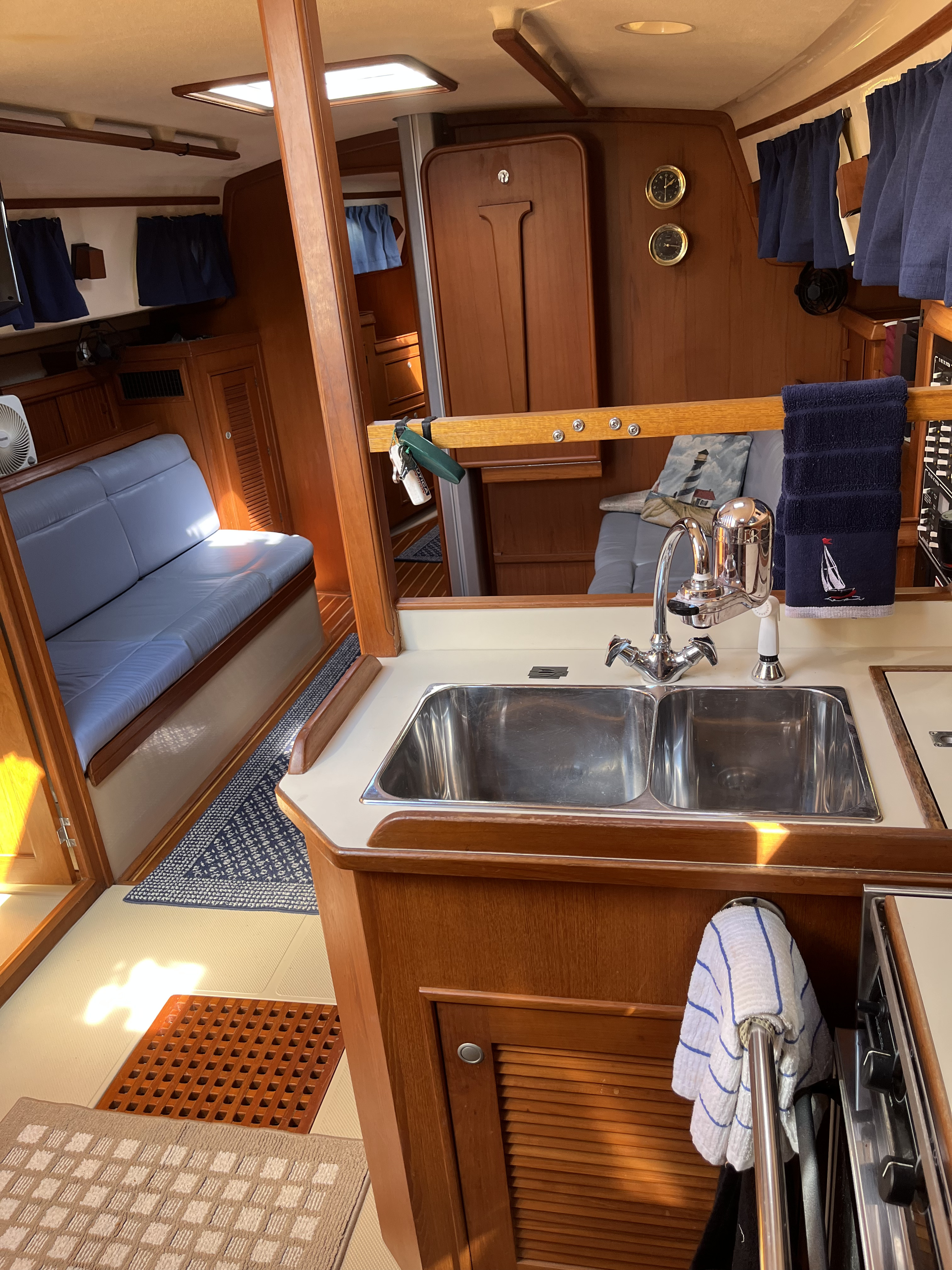
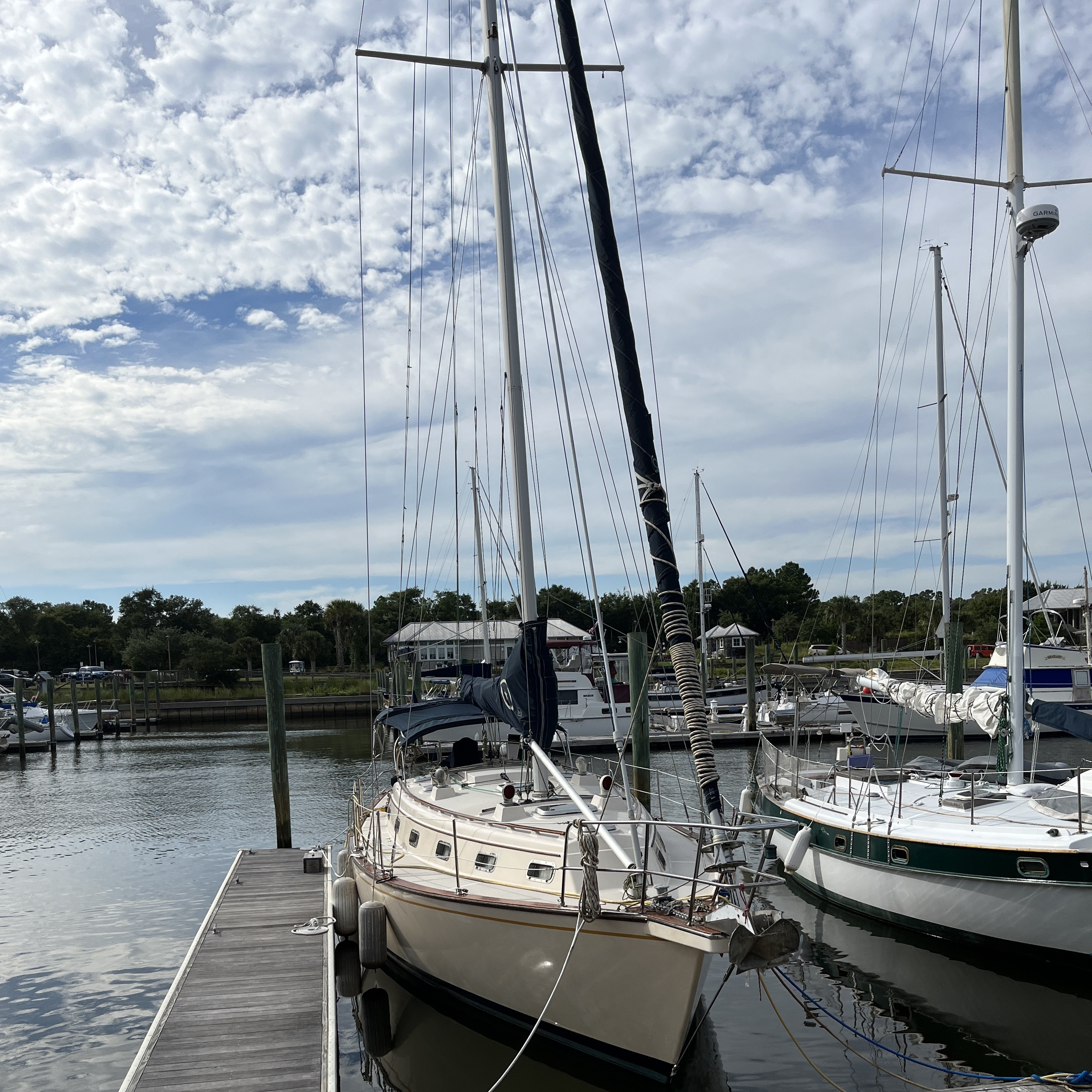
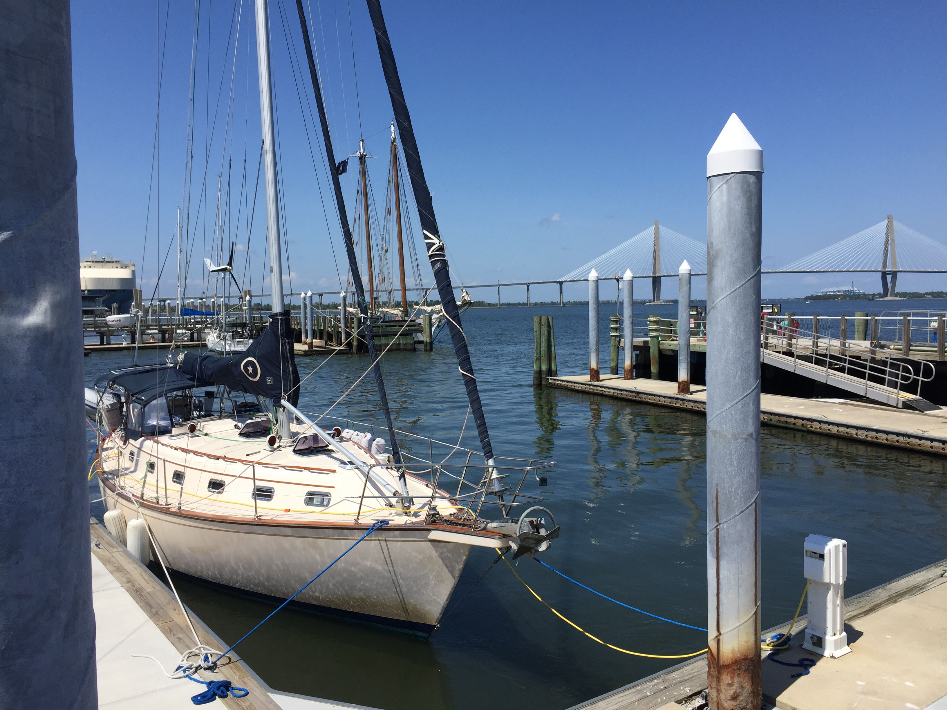
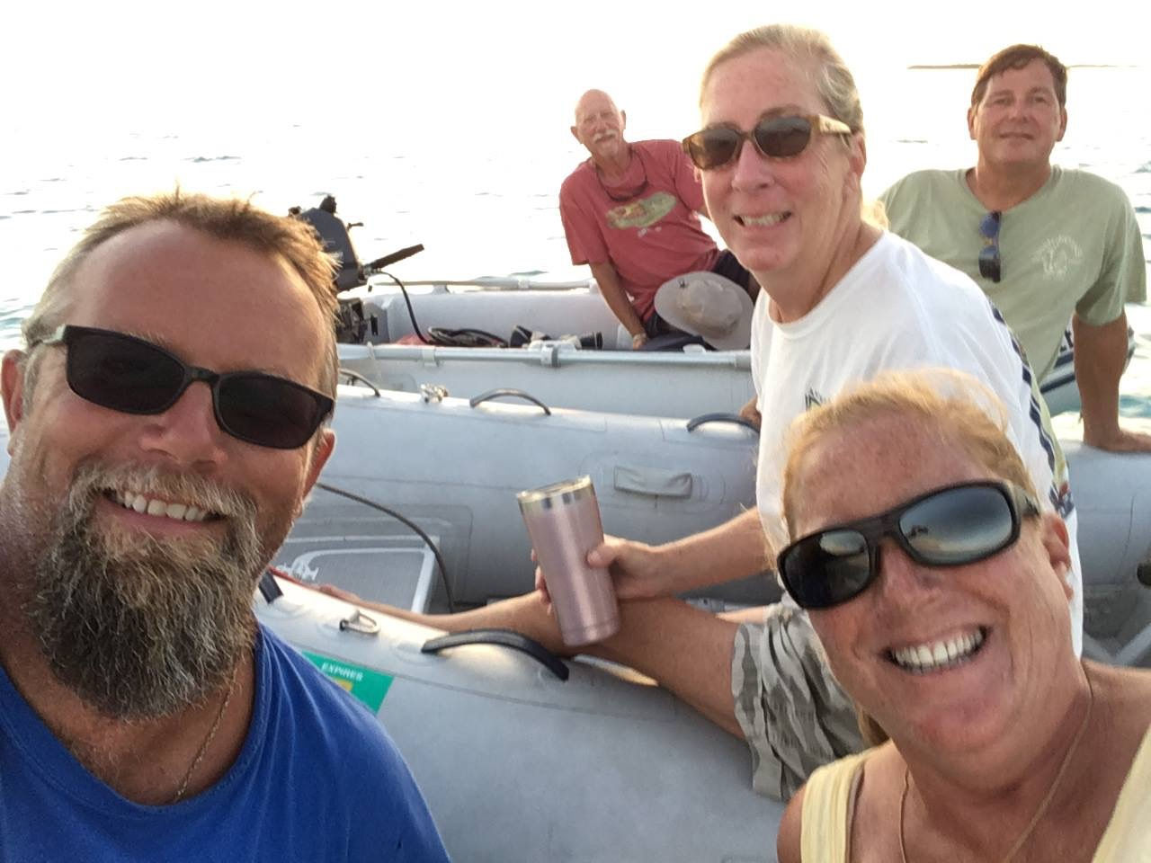
We have been steadily working on making the Eastbay ours….cleaning, fixing some minor issues and getting to know all of the systems, some of which are similar to Island Bound but many are different. This boat is very different from Island Bound and we are planning to use it differently than the sailboat. One of the things completed was changing the name from Salisbury to Lucky Enough. The name was Tricia’s idea and I loved it. We met and befriended a singer/songwriter in Key West over our years of cruising there named Scott Kirby. He is one of the owners of the Smokin’ Tuna Saloon in Key West and he performs there (as well as nationally) frequently. One of our favorite songs of his is called Lucky Enough. It made it on the radio and XM Jimmy Buffet channel, and I perform a cover of it in my solo performances. The key chorus line is “If you’re lucky enough to live on blue water, you’re lucky enough by me.” and that was perfect for the boat. I sent him a note about it and he seemed to really like it.
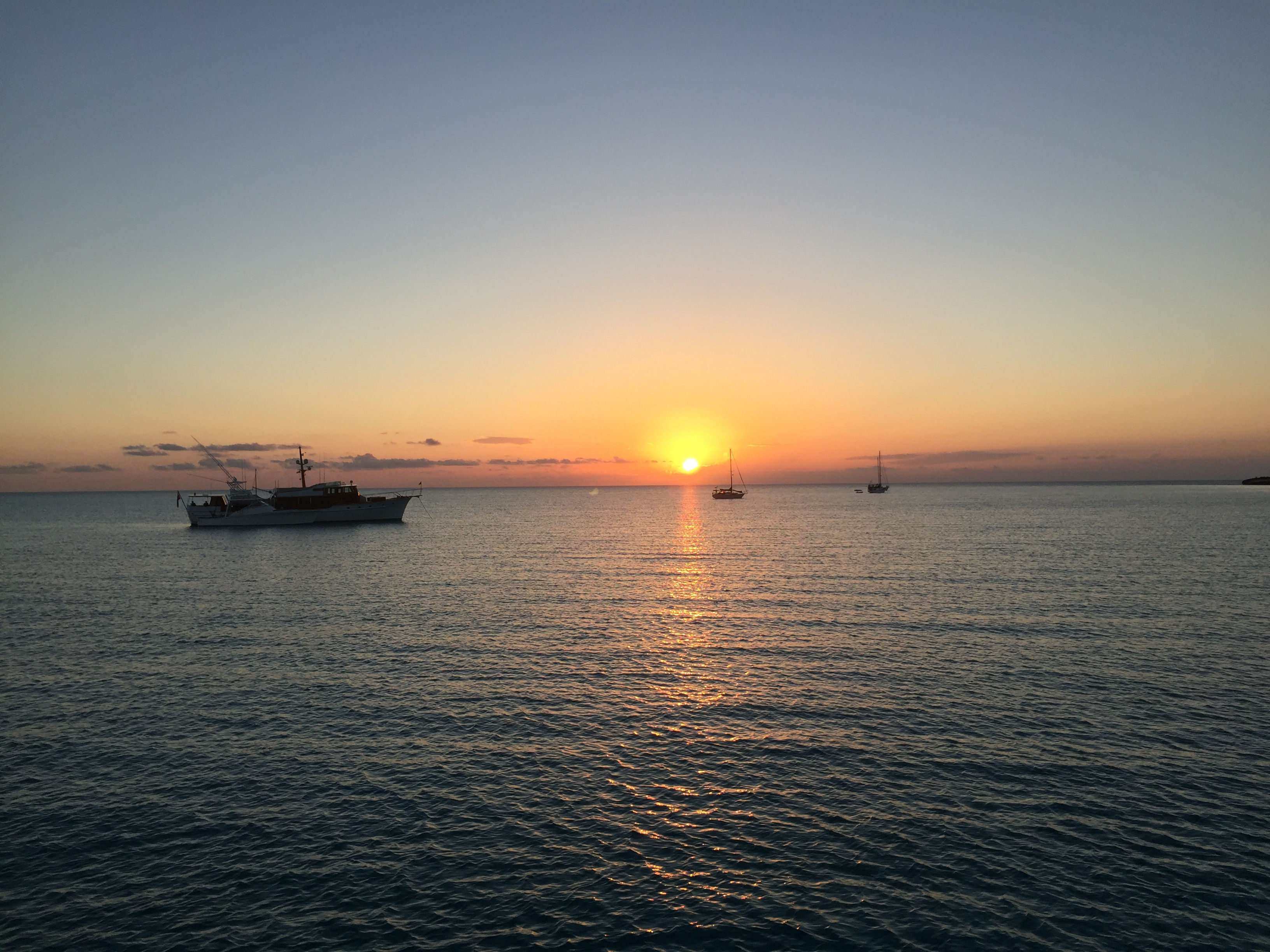
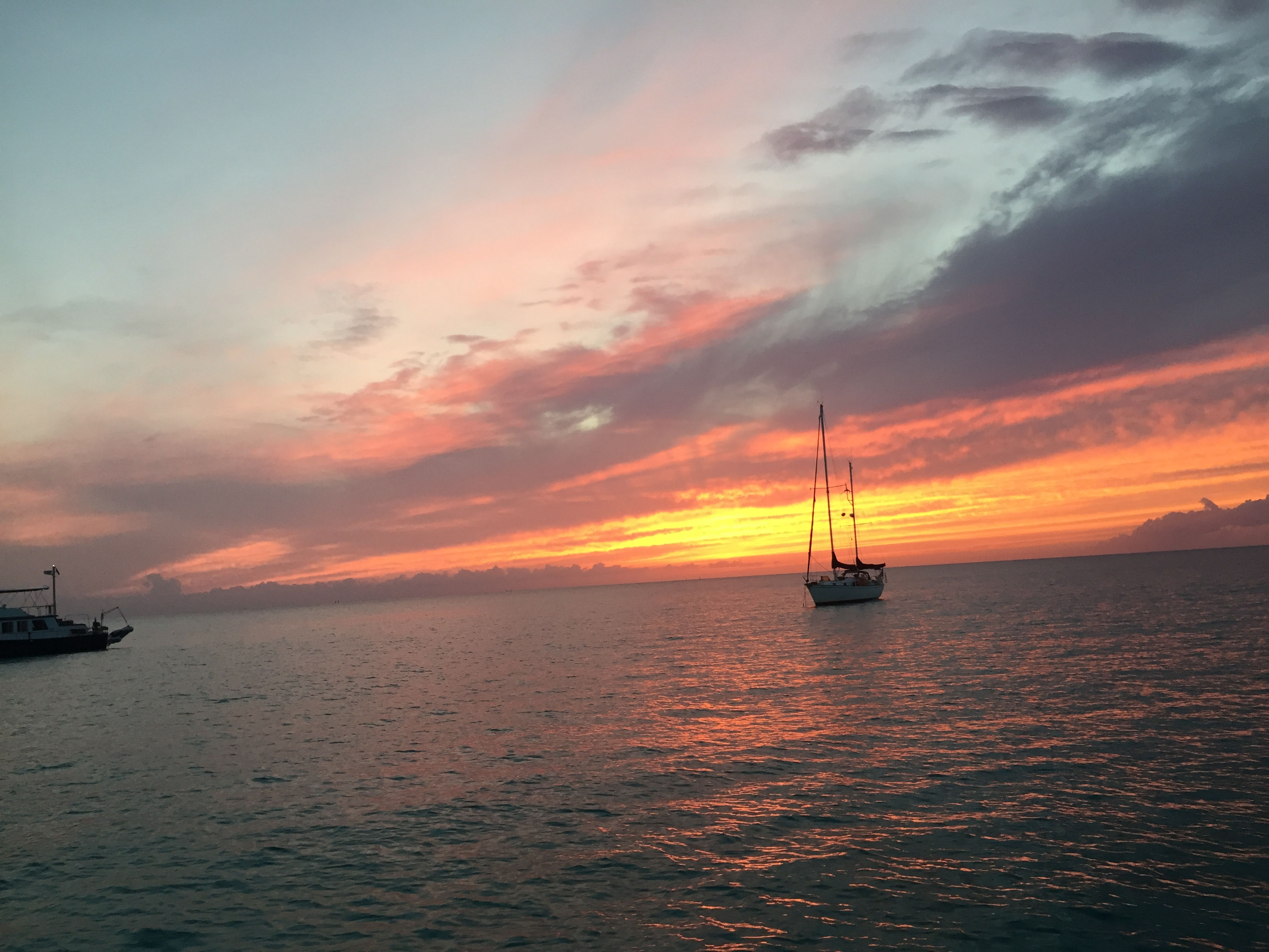
So we are in the process of planning our cruising itinerary for this year’s season and it is very different. First off, instead of a 7 month travel plan, we are looking at a 4 or 5 month schedule. Lucky Enough has an enclosed helm that is climate controlled via a built in generator which allows us to travel comfortably in cooler weather and rain. On Island Bound I was outside at the helm and had many days on the late Fall and early Spring months that were mighty uncomfortable, especially in cold rain and wind. This was one of the reasons we would leave late Oct and return in May. The other major difference is that Lucky Enough has a maximum speed of 32 knots (36 MPH) and a cruising speed of 25 knots (28 MPH) and Island Bound cruised at 7 knots (8 MPH)…..total game changer. Example….we brought Lucky Enough home from Savannah GA in 2 1/2 days (with daily overnight stops) which would typically take 6 days on Island Bound (with daily overnight stops). Another example…with overnight stops….it typically took 10 travel days to get from Southport to St Augustine FL in Island Bound, and we could do that trip in 3 days on Lucky Enough. The kicker is the fuel consumption….a topic I will reserve for a later date…lol!
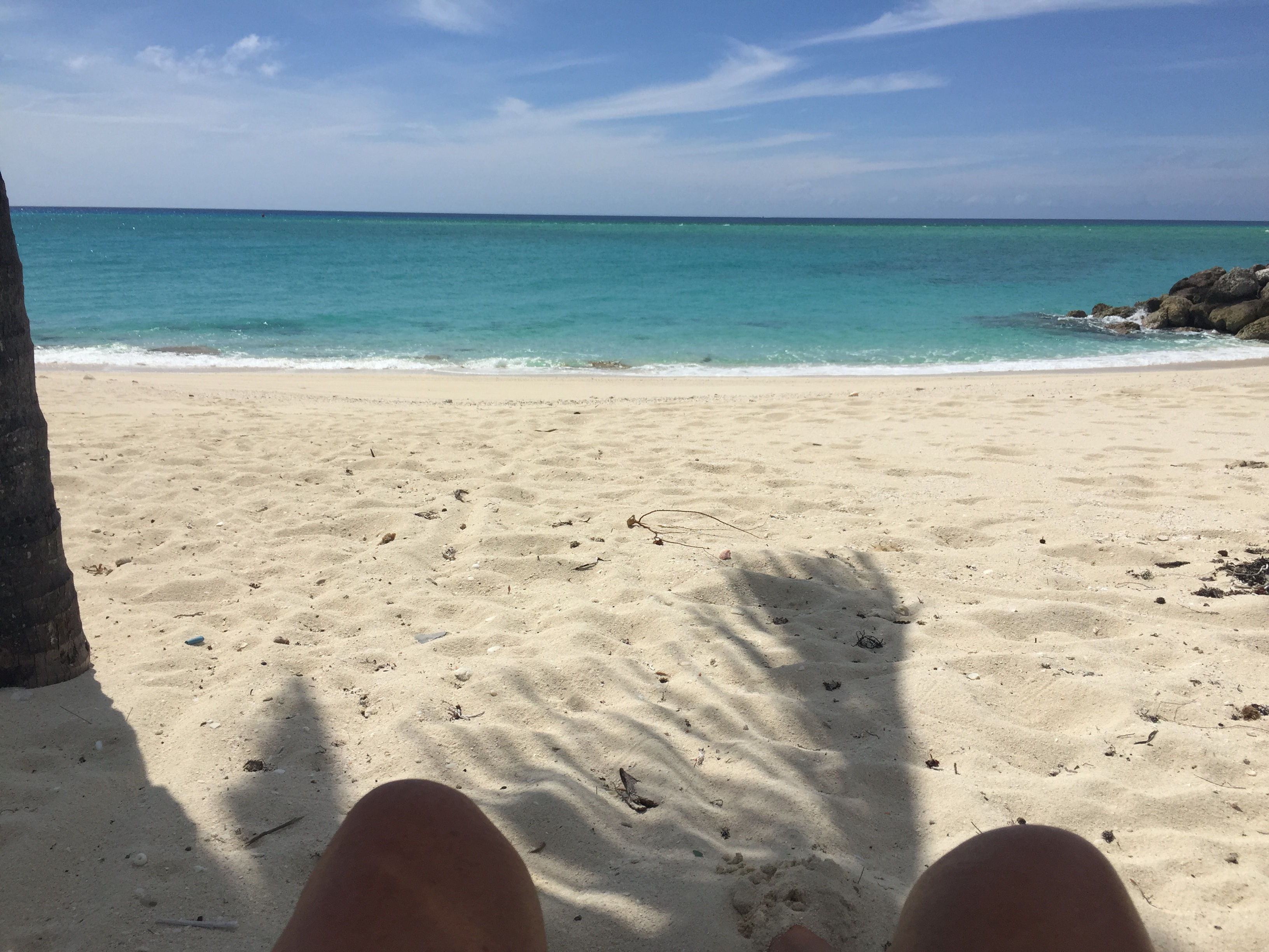
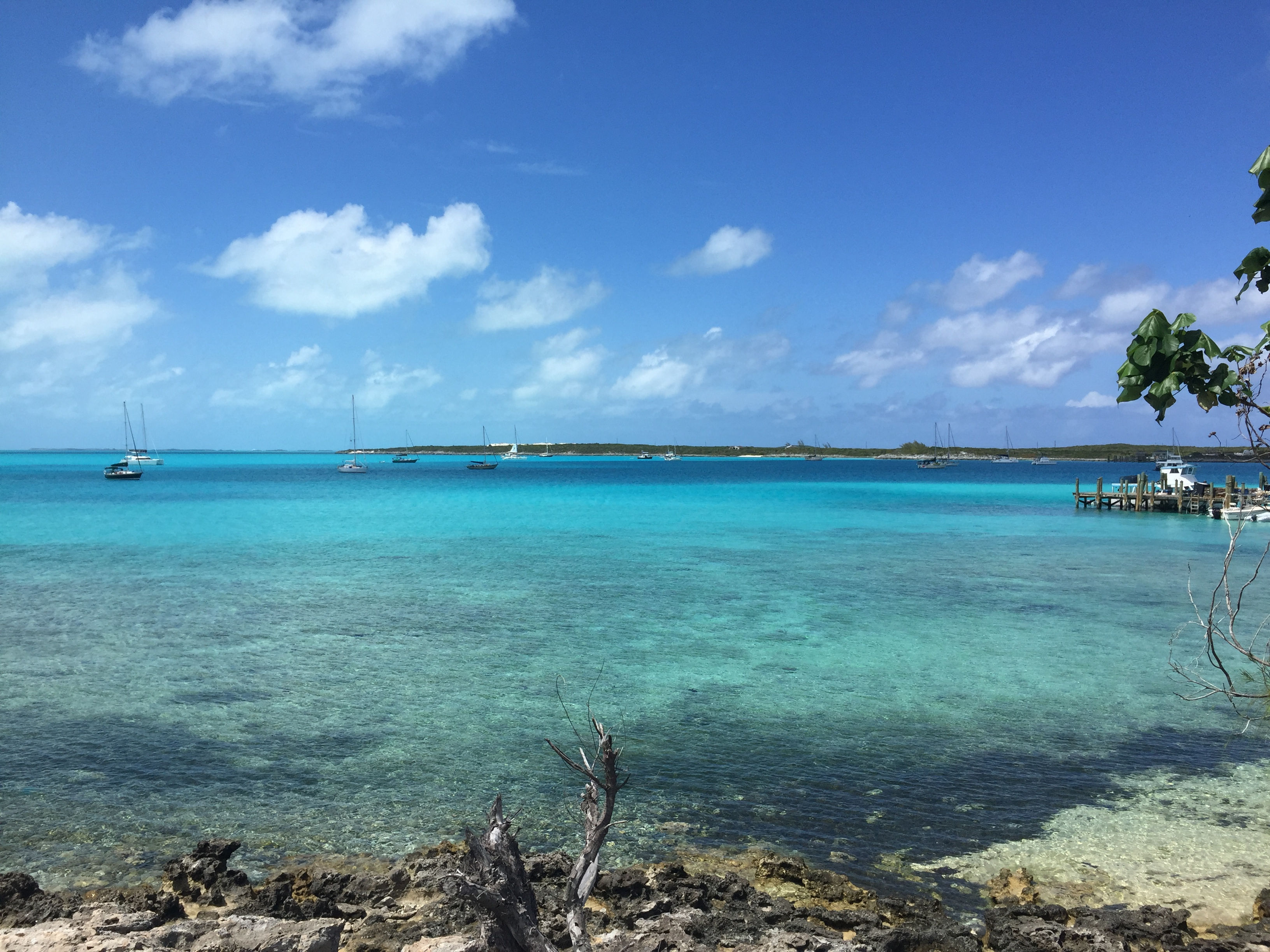
So, now our planning is looking like this: Enjoy Thanksgiving with our family on the beach (as we have been doing the last 4 years). Depart Southport the middle of December. Spend Christmas and New Years with Tricia’s sister and her husband in St Augustine Beach. Wander to the Keys in January. Spend February in Conch Harbor Marina in Key West. Work the route in reverse in March. Enjoy October, November, April and May in Southport…which are some of the best months of the year here. The other bonus is that we will be traveling the waterways in months that are not the peak traveling months, which will reduce the stress level and improve the ability to find slips and/or anchorages along the way.
I will try to keep the blog active so you can follow along.