Category Archives: Hudson River

We made it to the ocean

9/27/14
Sandy Hook, NJ
Position: 40 25.10N; 74 01.20W
Atlantic Highlands anchorage
Posted by Bill

Happy birthday to our youngest daughter, Jessica! We love you and miss you very much!!!

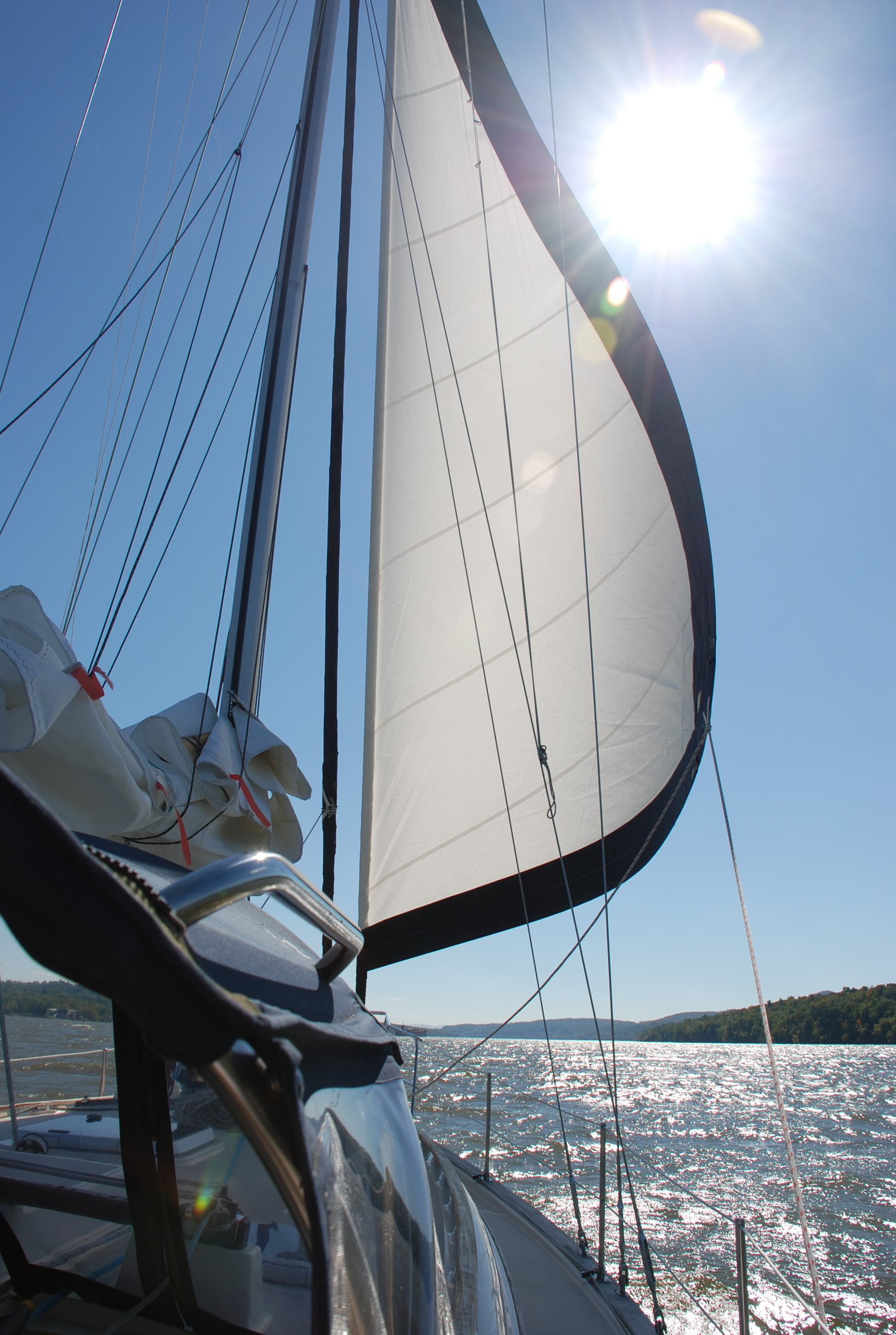
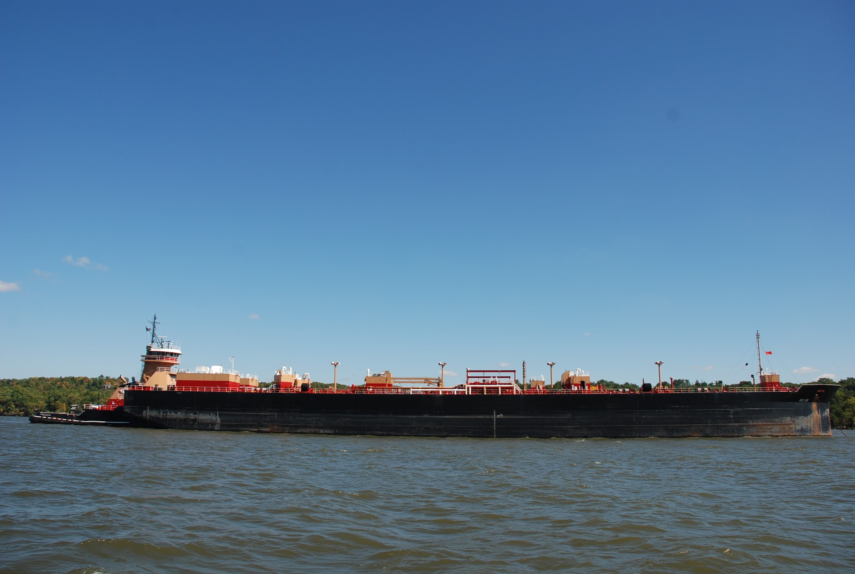
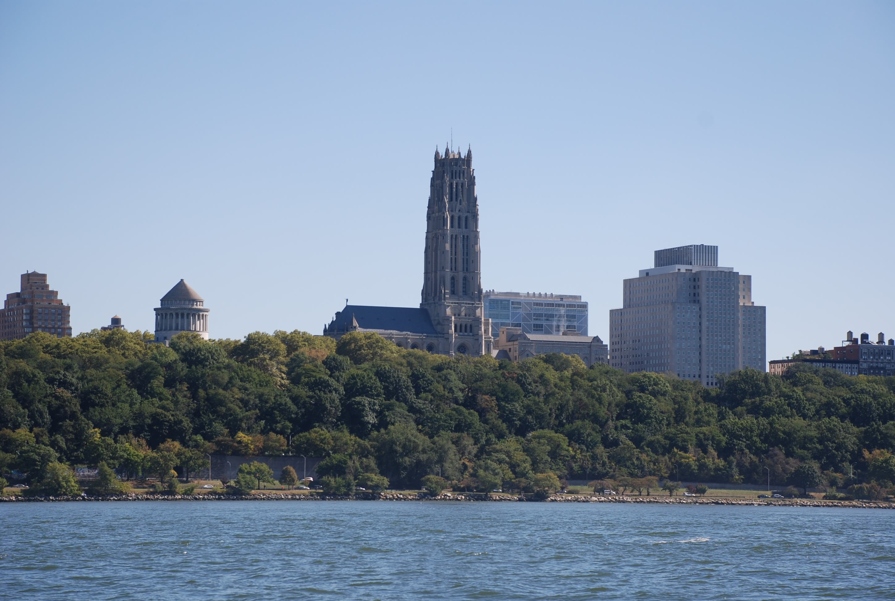
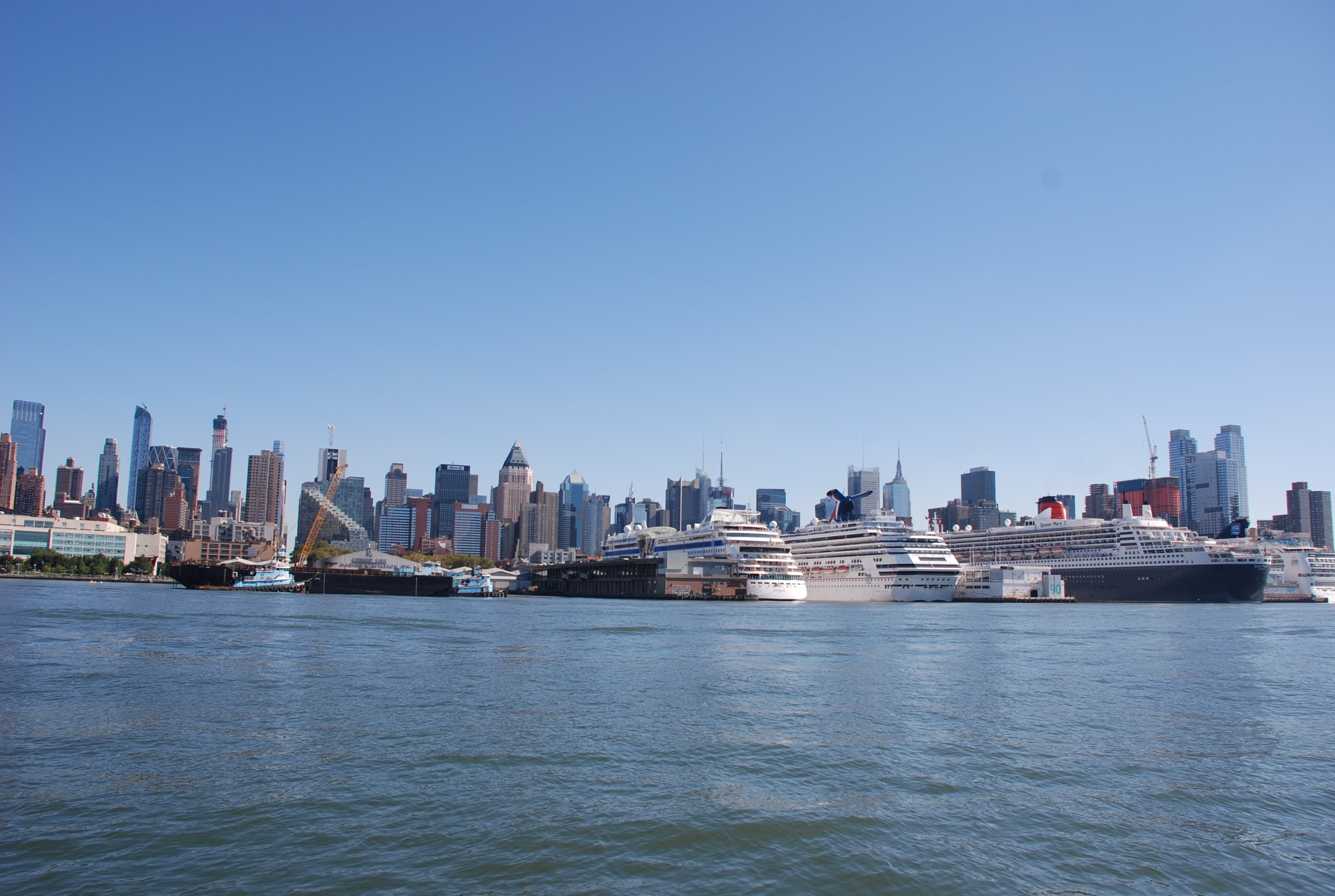
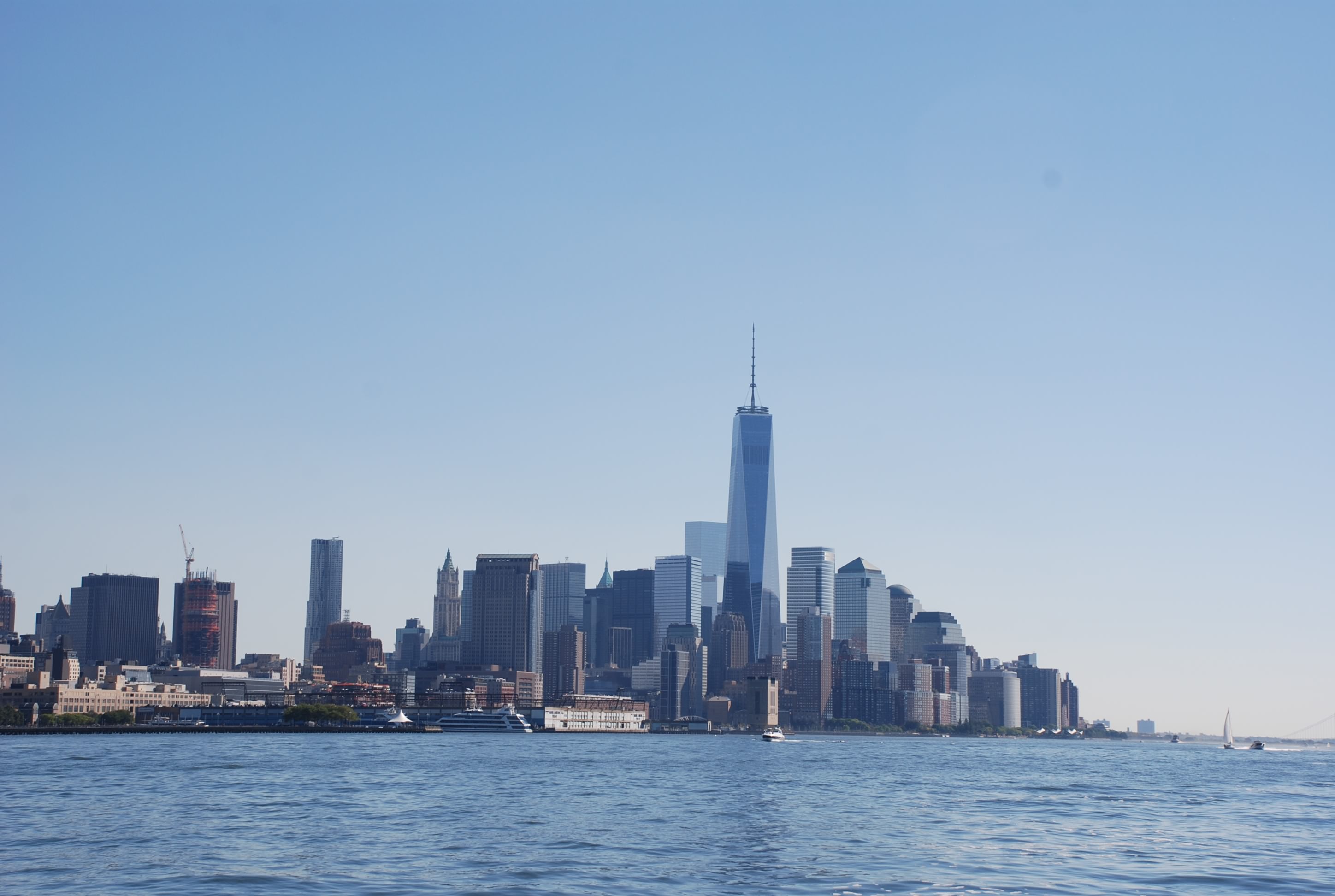
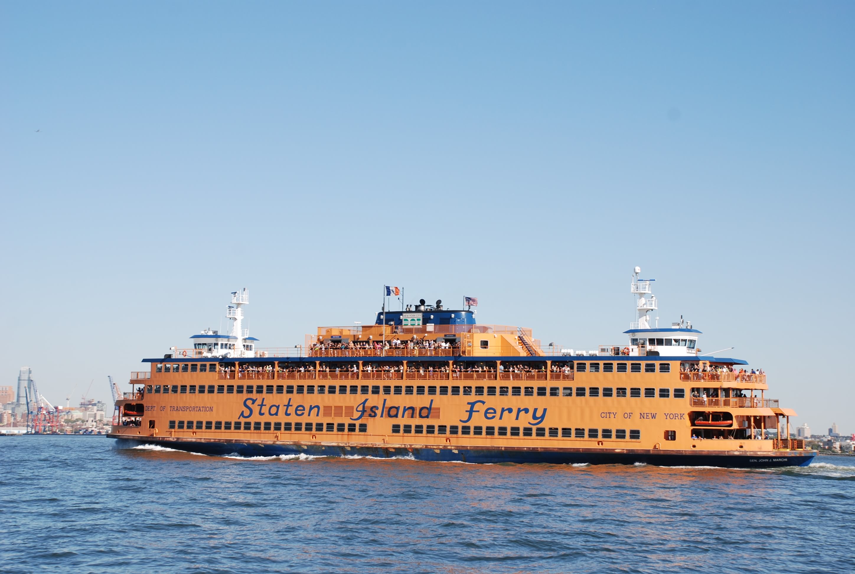
Long day of over 68 miles. We went by West Point Academy and it was absolutely gorgeous. Then into New York City and finally to Sandy Hook, NJ. New York was crazy…boats coming from all directions at the same time. Pleasure craft, sailboats, police, ferries, container ships, all converging in the Hudson River, causing a wave of washing machine type waters. Not fun at all. But very cool to see the city from the water.

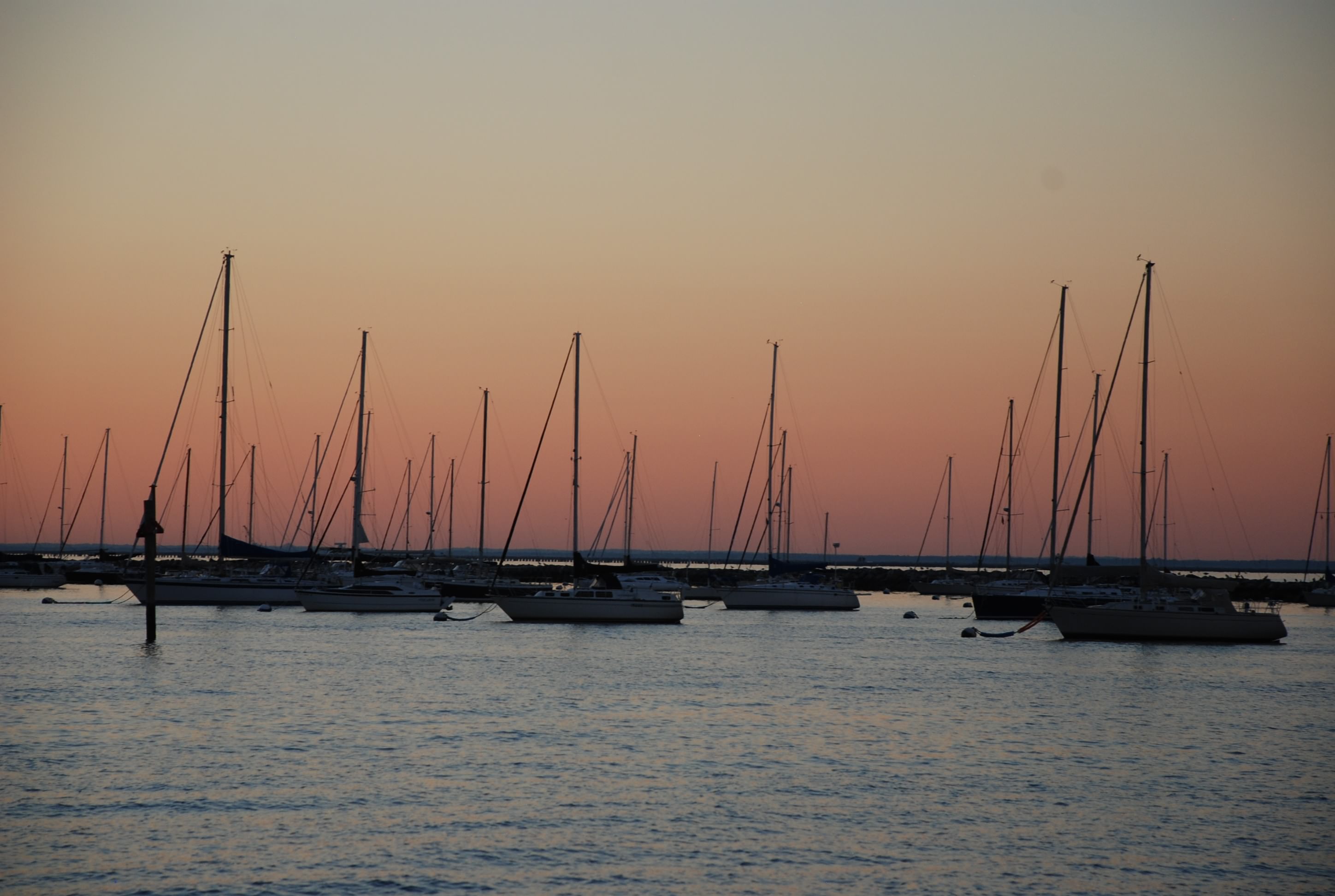
When we dropped the hook in Sandy Hook, we could see a spectacular sunset, the lights of New York City and a fireworks show…not sure why…but a nice fire works show.

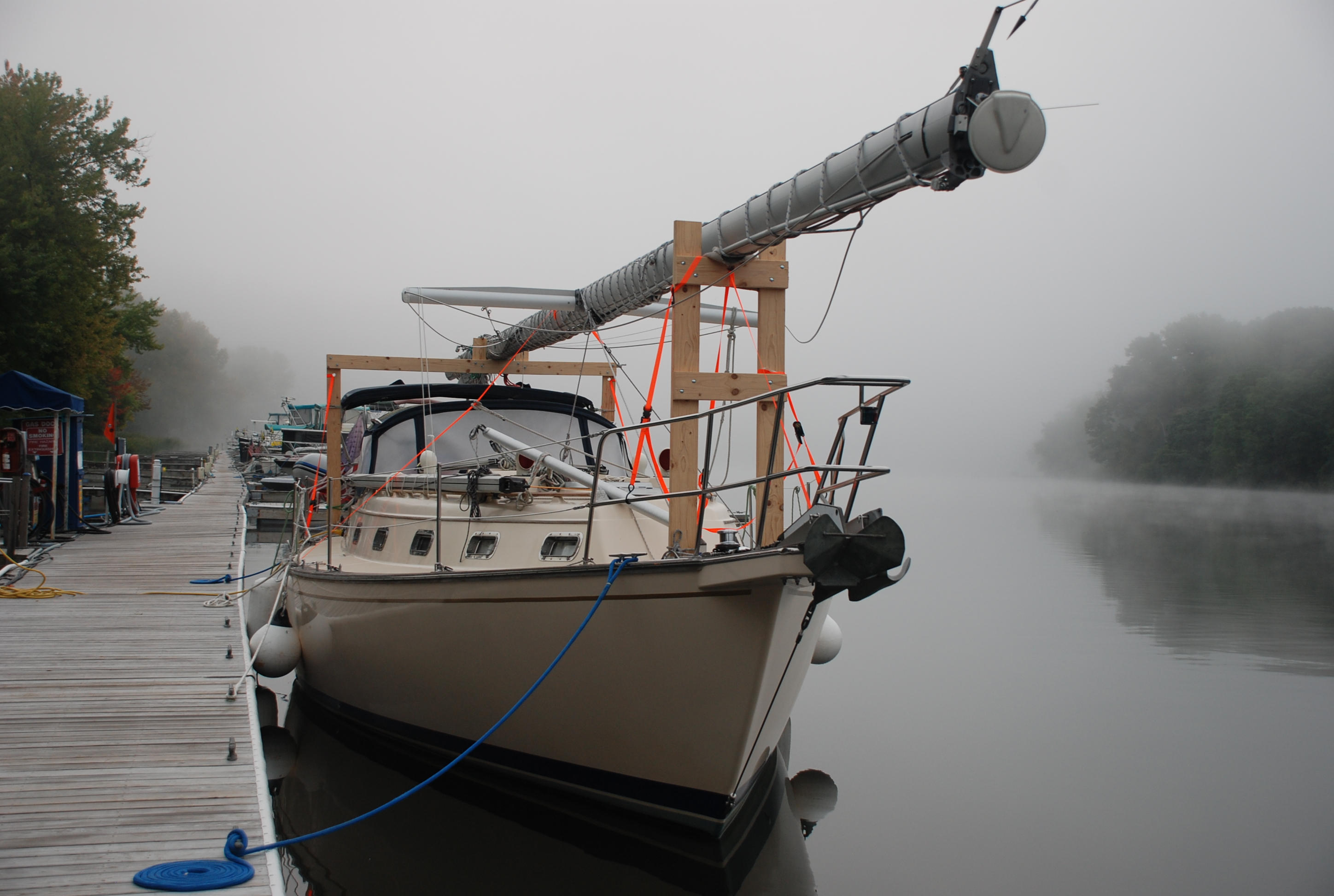
Our anchorage was our 3rd try. The coast guard station anchorage was pretty croweded and we did not want to anchor too close to others, so we tried Horseshoe Cove. It was crowded too and I could not get the anchor to set, so we motored across Sandy Hook Bay to Atlantic Highlands. It was a great anchorage.

All in all a pretty exciting day. The next few days we have an excellent weather window and will transit to Cape May, NJ via the ocean.

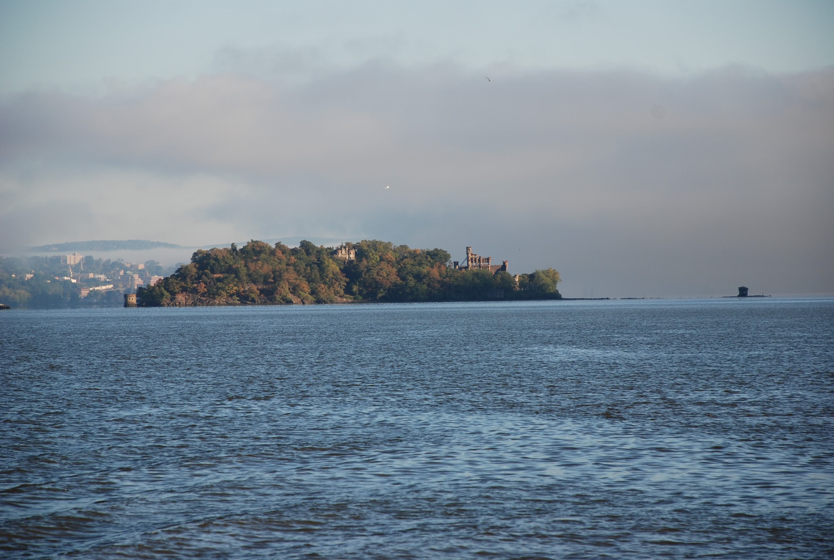
This was a little island across from where we anchored in Cornwall that had ruins of a castle.
DSC_0562

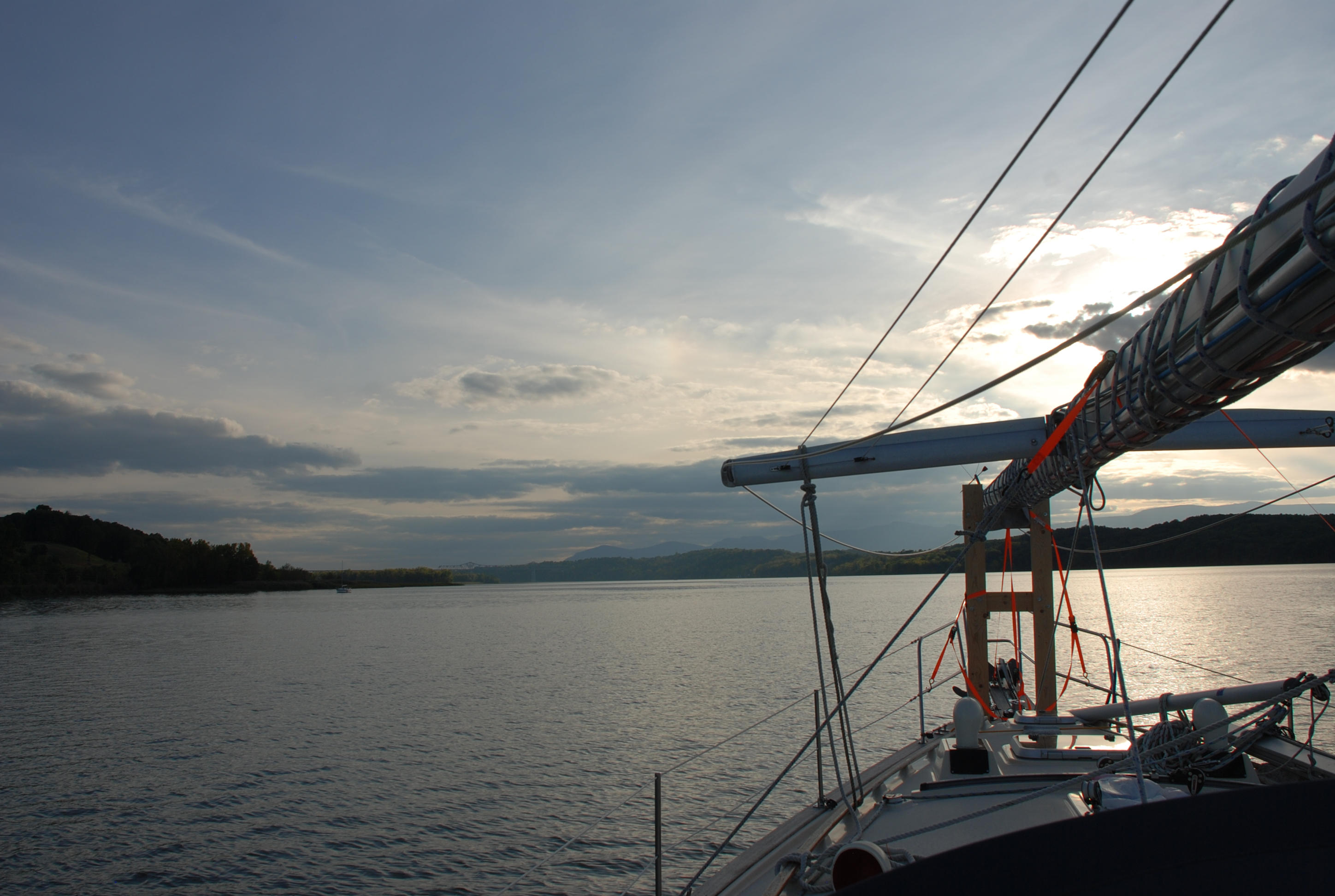
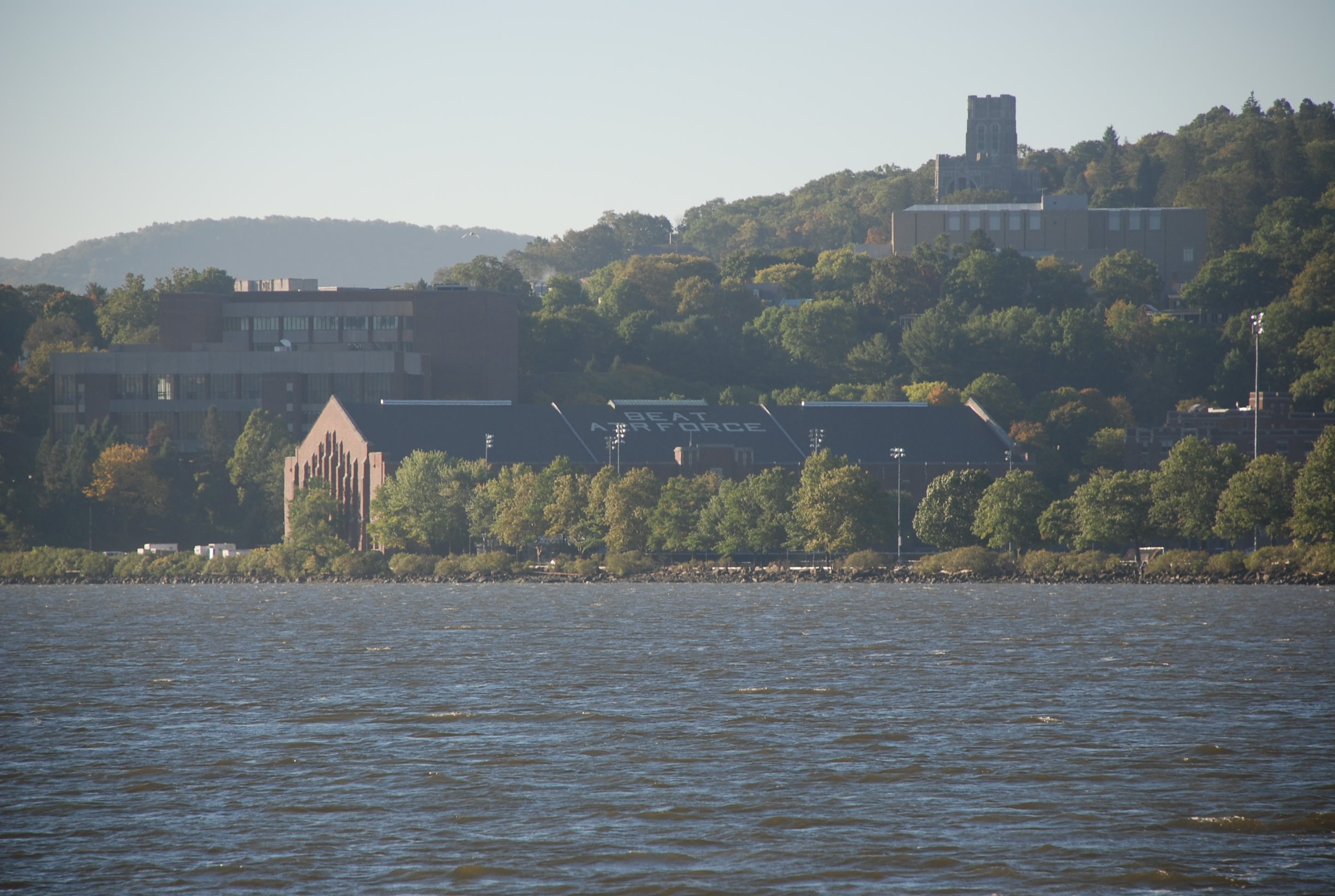
The view approaching West Point Academy.
DSC_0568

West Point close up.
DSC_0567

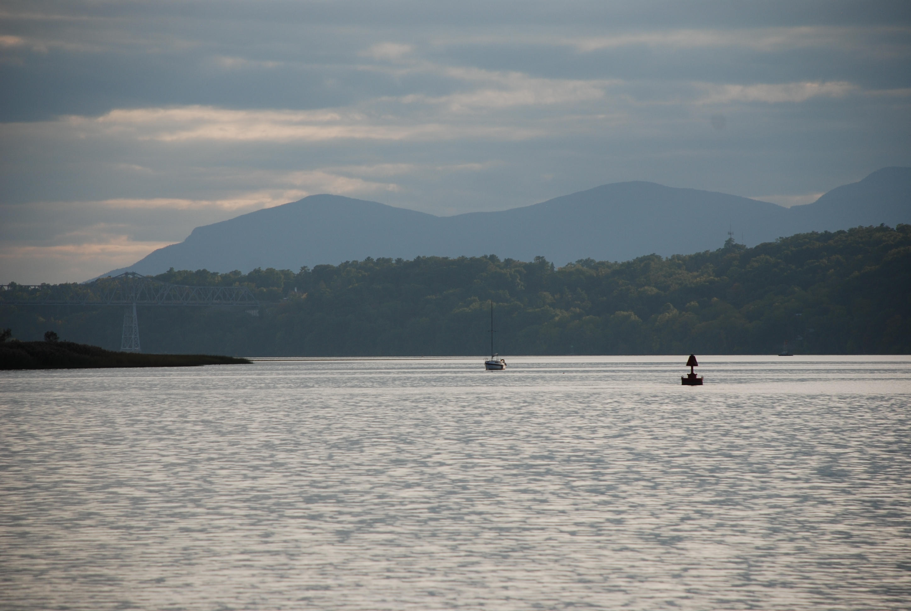
View of the Hudson on the south side of West Point.
DSC_0575

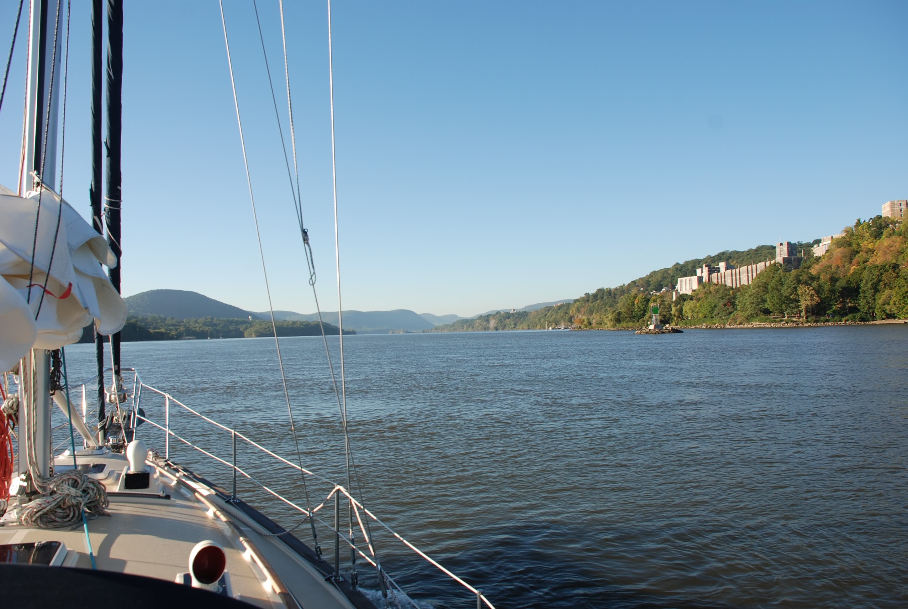
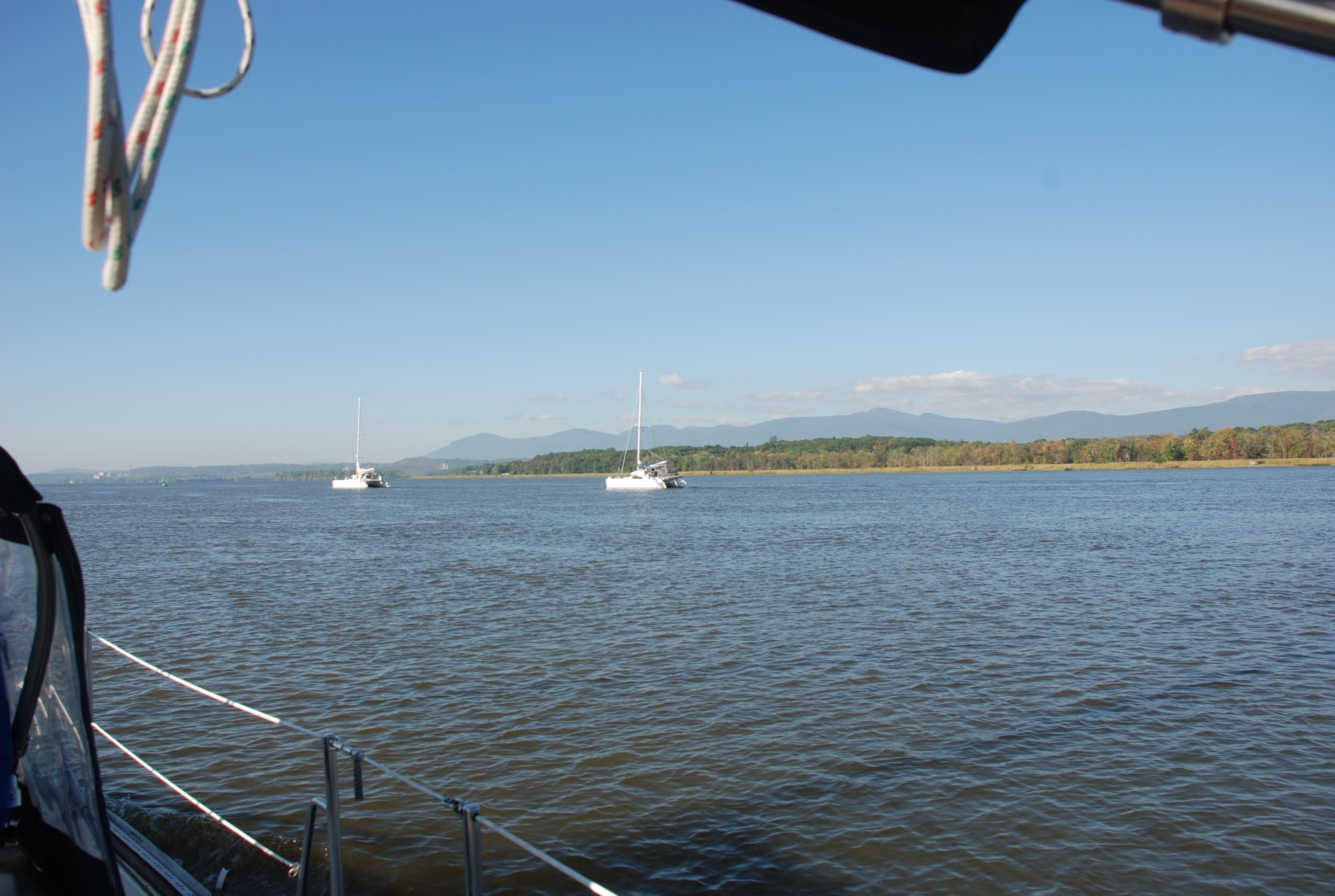
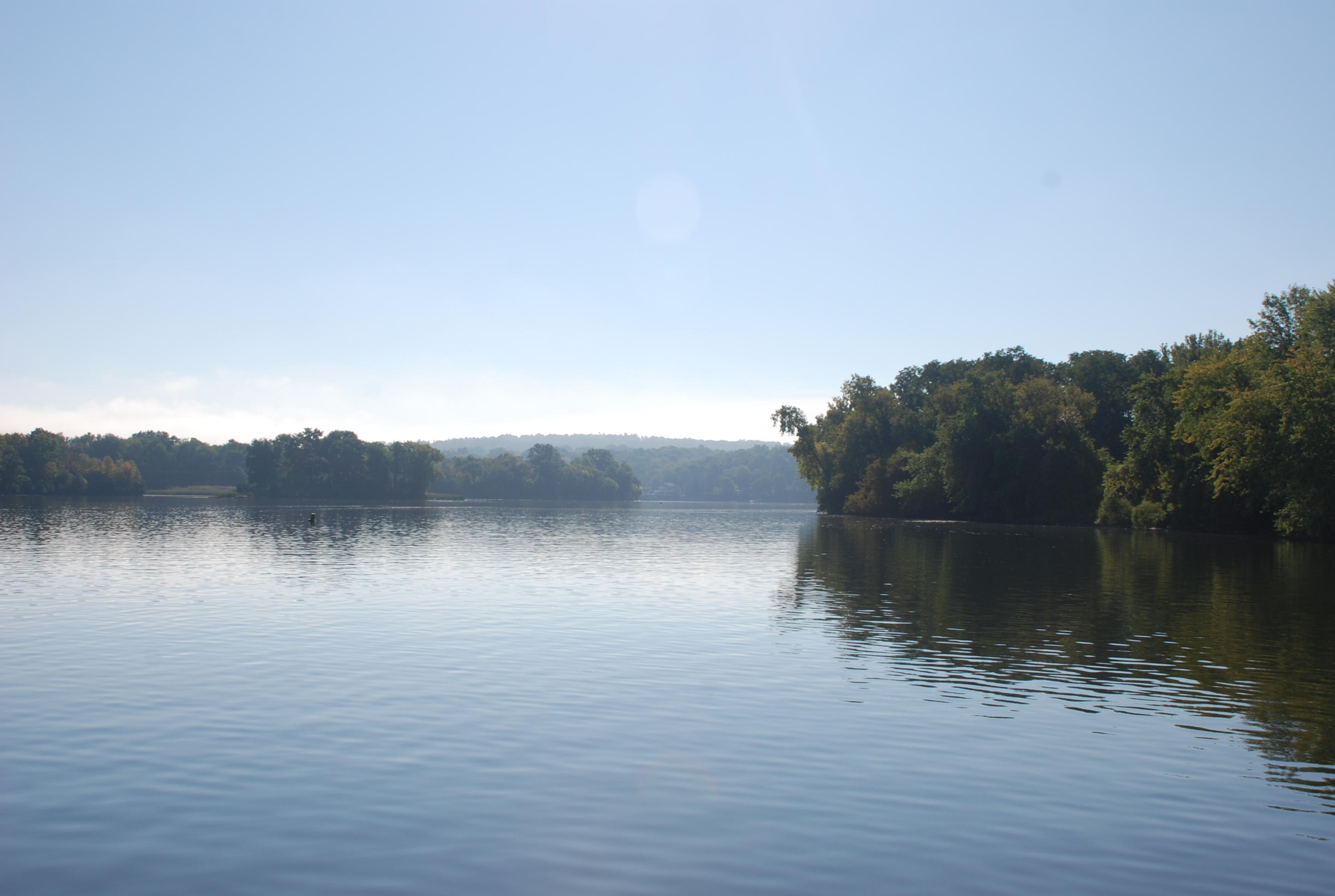
Random view of the Hudson…it was really scenic in this area.
DSC_0592

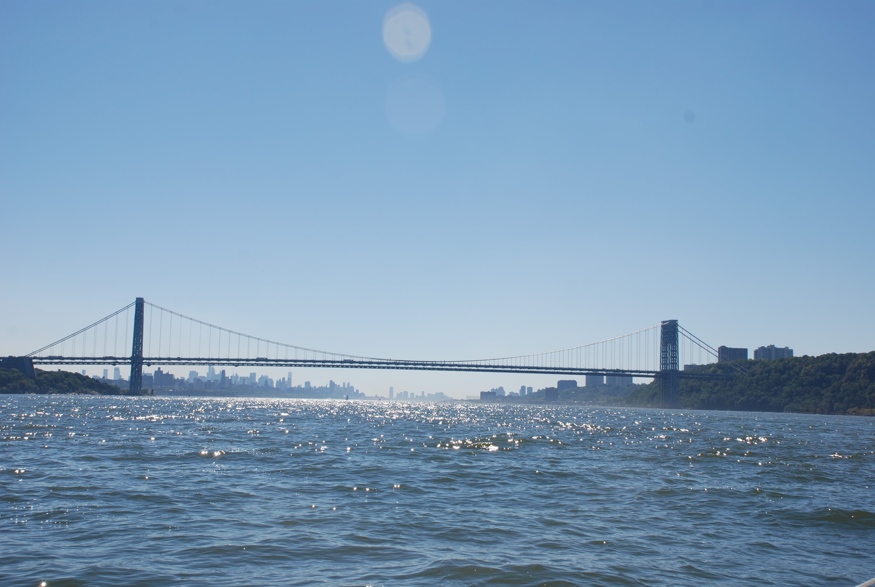
The George Washington Bridge coming into NYC.
DSC_0705

This is a view of our Raymarine chart plotter.
DSC_0729
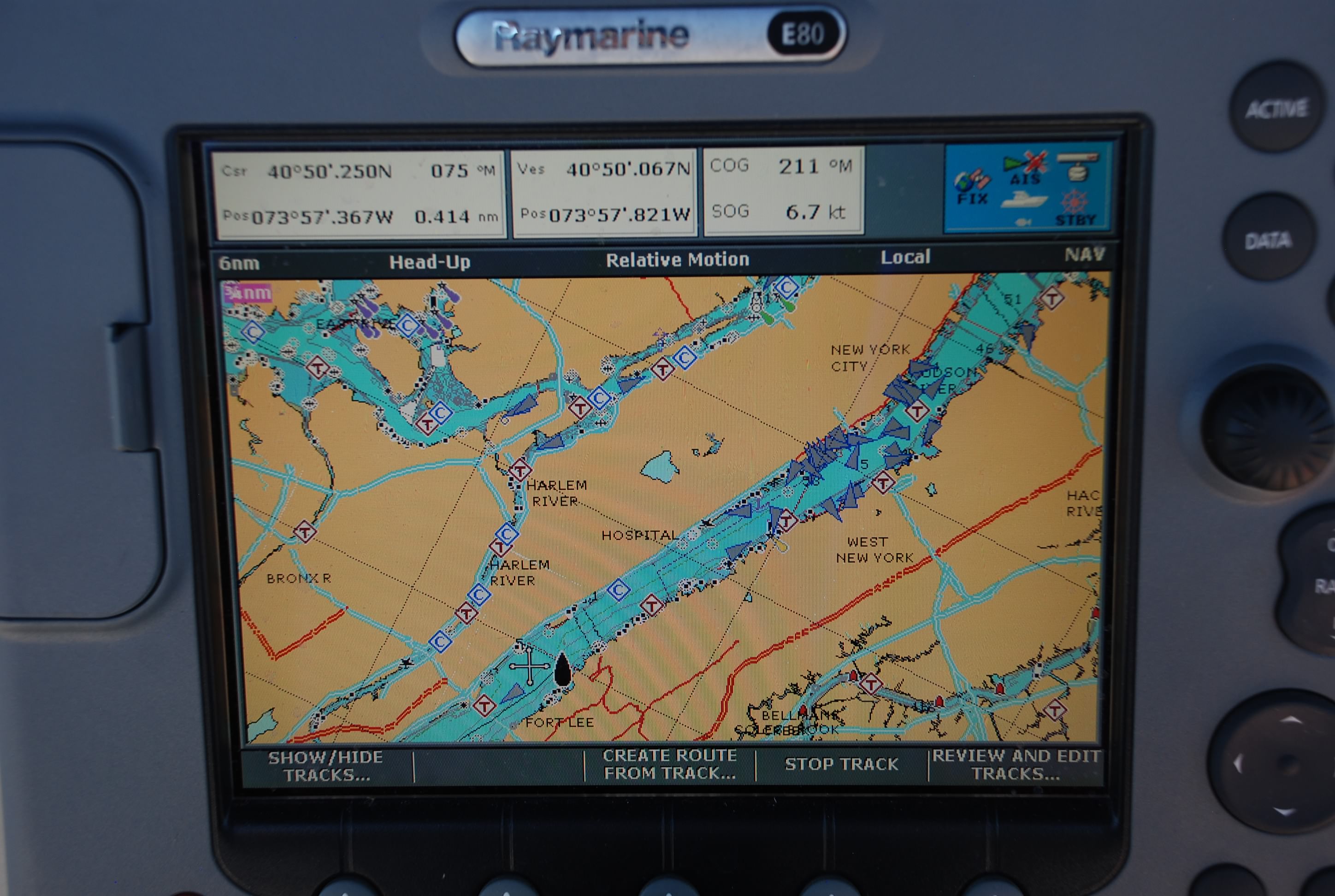
It is like a Garmin for nautical maps and really helps us navigate. We also have a system called AIS. Almost all big ships have AIS and it is becoming more popular for pleasure craft as well. AIS broadcasts your vessel position, speed, course, and other vessel information. The ships show up as blue triangles on the chart plotter and there is an alert function that tells you when you are at risk of collision. It is a great tool to have. As we are coming in to NYC this is what the chart looks like. Triangles all over the place. It was really crazy. As beautiful as it was cruising through, I was glad to get the hell out of there.
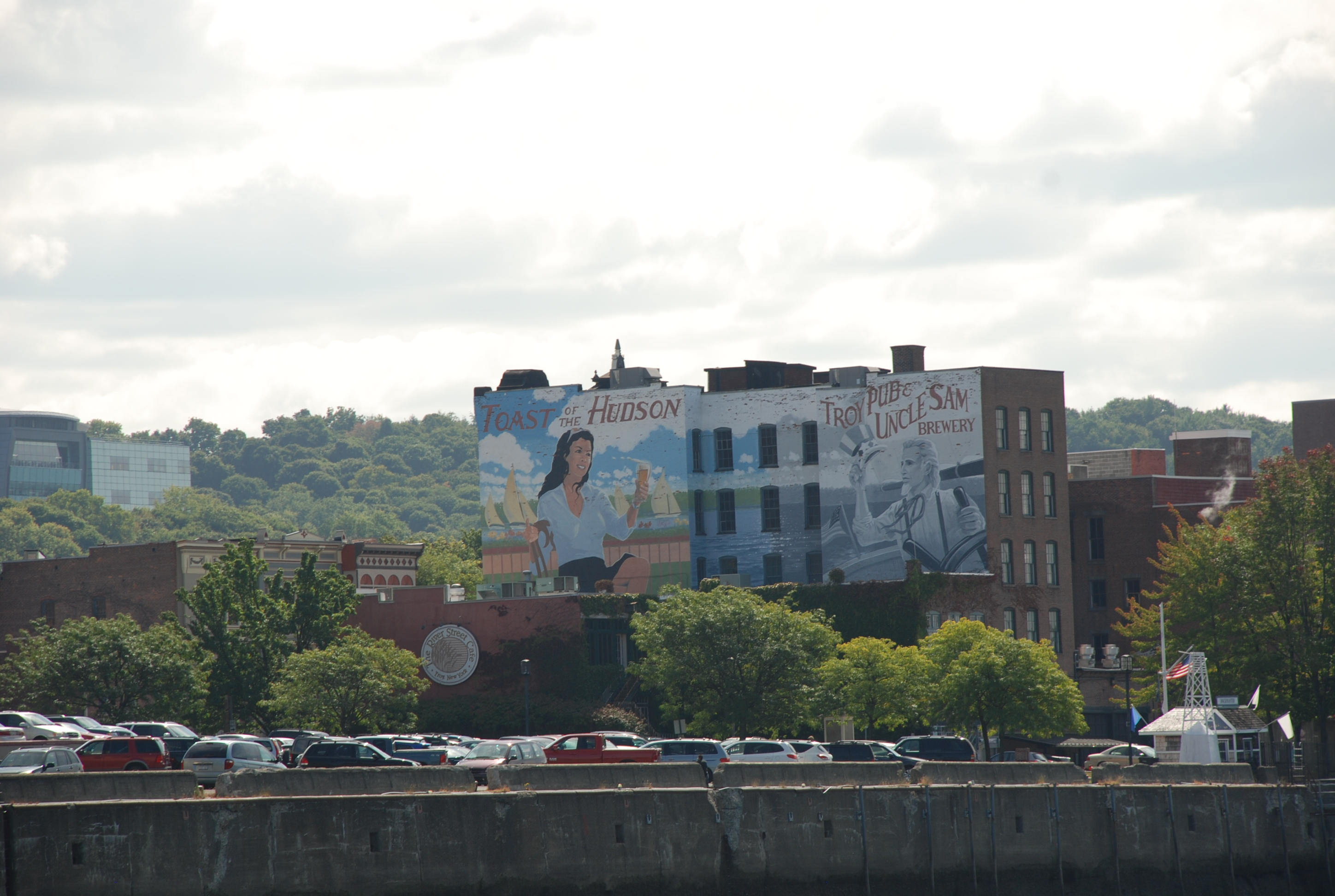
New York City.
DSC_0739
DSC_0754
DSC_0759
DSC_0801
DSC_0807

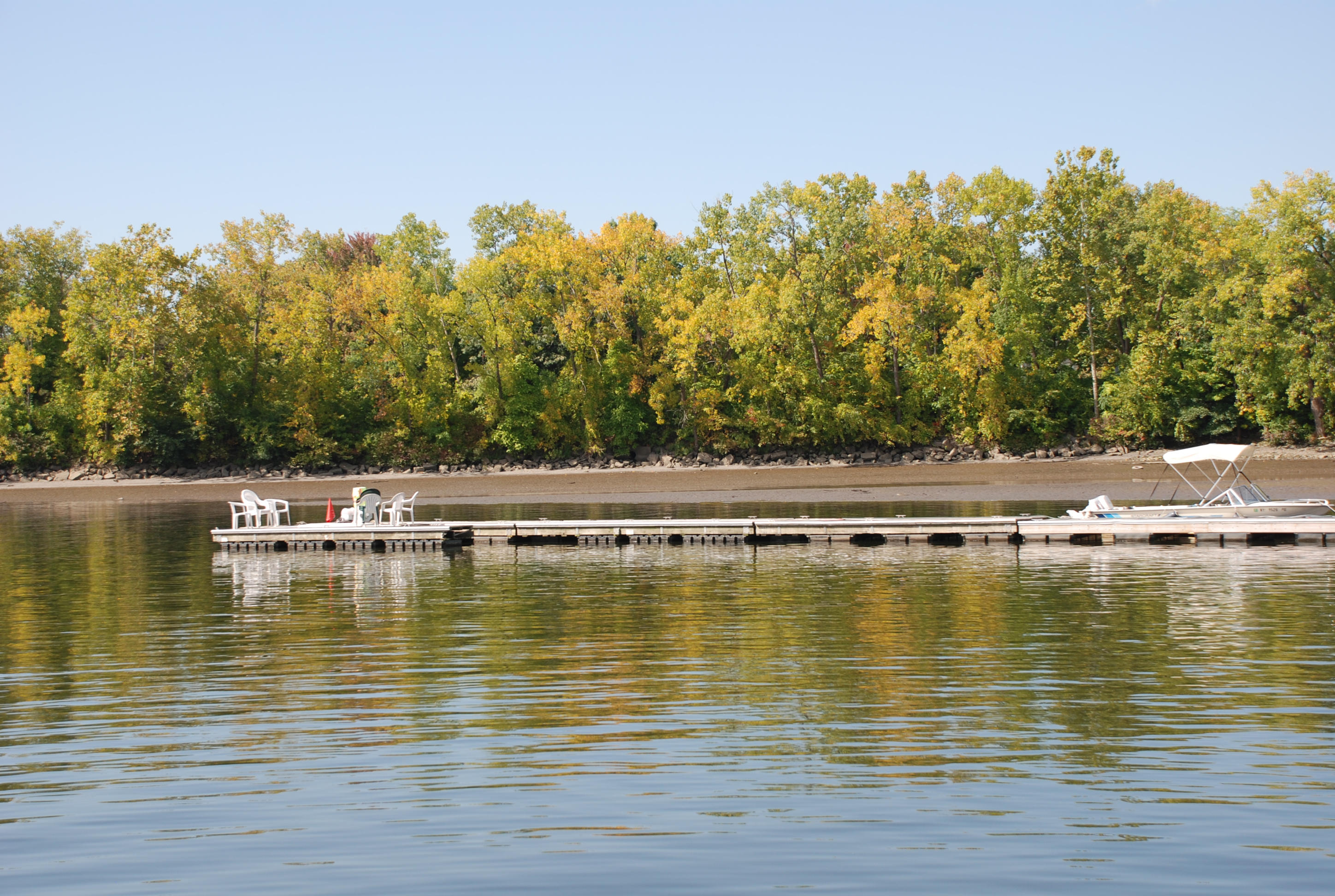
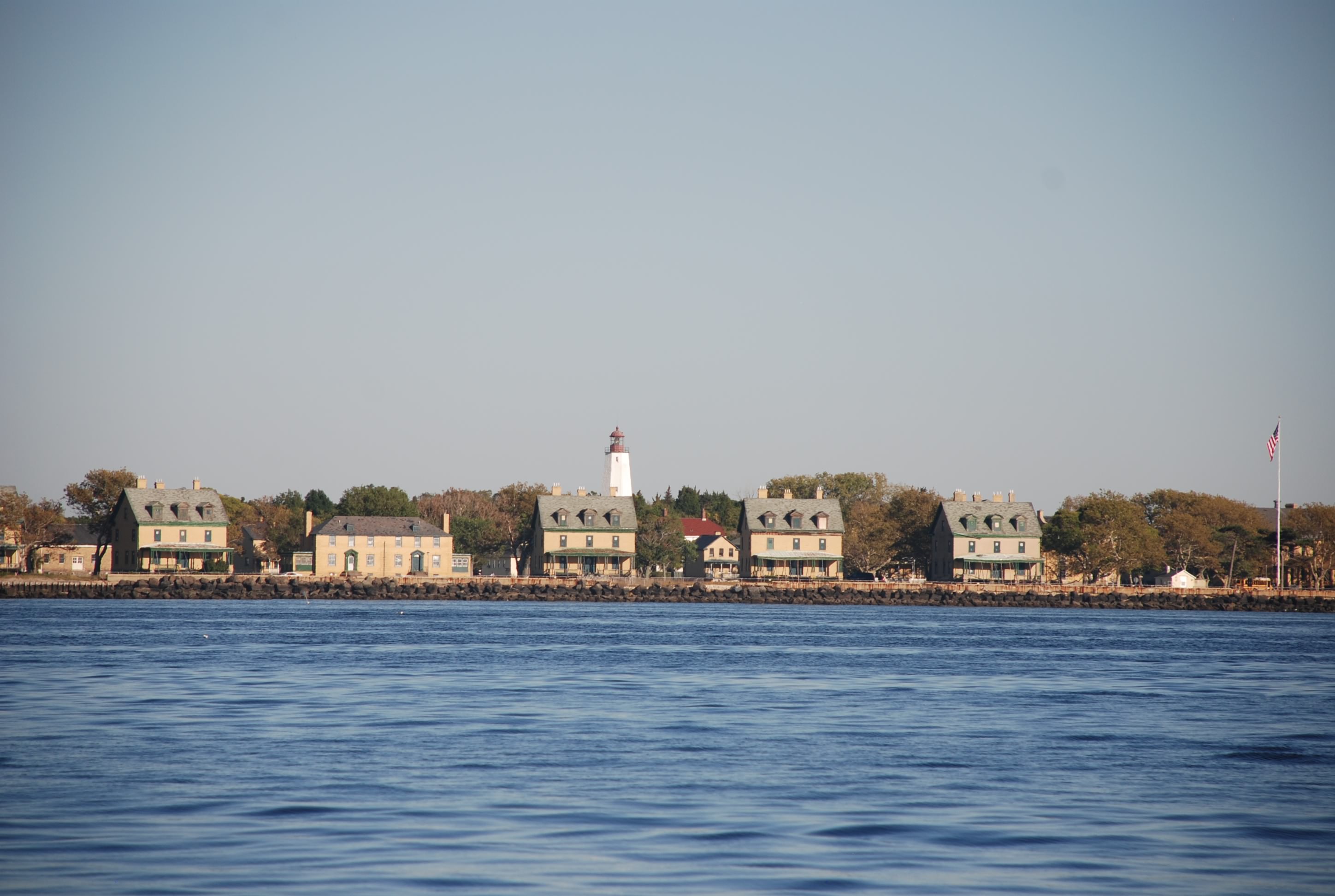
A view of Sandy Hook. It is a really cool place.
DSC_0839

Sunset in our anchorage at Atlantic Highlands.
DSC_0843

Cornwall, NY

9/26/2014
Cornwall, NY
Position: 41 27.0N, 74 00.3W
Posted by Bill

Didn’t post yesterday because it was nothing but busting ass. We prepped to have the mast put up, they put it up, we rigged the boat, we put on sails, we went to dinner (a really good soul food place), we drank several martinis, we went to bed.

This morning we woke up, finished putting the boat back together and gave it a good washing. Lots of Erie Canal mud and slime to wash off. We shoved off the dock around 8:40 and motor sailed to Cornwall, NY. This part of the Hudson is absolutely stunning. It was good to actually put some sails up and we took advantage of the north winds. We needed it too because most of the trip was against the tidal current…again…

When we anchored at Cornwall, a local boater floated over and gave us a history lesson. According to him, Henry Hudson, the guy who was trying to find a northwest passage from the east coast, first went up the Hudson River. He anchored on the same spot as we did (according to this guy anyway), looked back to the southwest and said “this is a great spot for a town”. This is how Cornwall was founded. The local was probably just a drunk and was messing with us…we get that a lot.

Enough of stupid historic trivia. Here is what you all have been waiting for…pics!

Here were a couple of catameran sailboats from Canada that I chatted with on the radio. They are headed for the Caribbean.
DSC_0458 (2)

This is the lighthouse at the channel entrance to Saugerties, NY.
DSC_0466 (2)

Another lighthouse in the middle of the Hudson. Not sure why they needed all of these in the middle of the river, but hell…why not. And it looks cool.
DSC_0483 (2)

We are a sailboat again!
DSC_0484 (2)

We saw several big tug boats pushing barges today. Had to make sure they didn’t hit us.
DSC_0487 (2)

Approaching our anchorage for the night. Absolutely beautiful!
DSC_0508 (2)

West Point is right around the bend. Hopefully we will have pics of that tomorrow! On to the Big Apple tomorrow.

Happy birthday to our good friend Rick, and to our good friend Kerry for her engagement of marriage!!!! Wish we could celebrate with you!

We gave Sal the slip and left her in our wake

9/24/204
Catskill, NY
Position: 42 12.7N, 73 51.6W
Posted by Bill

Whew, what a long day! We tried to start early because we knew we had a tough day ahead of us. We had 2 locks in addition to the final flight of 5 (5 locks one right after the other that drop you 150 feet). Then we had 35 miles to traverse in the Hudson River to get to the marina that is putting the mast back up. We awake at 6 to fog…

This was before it got really bad
DSC_0305 cmp

So we wait until it lifts and get off to an 8:00 start instead of 7:00. Then we had to lock through with some moron power boat the entire way out. Idiot!

We needed to make it to our destination by 5 to get a dock and we had just enough time. Only problem is tidal current. The Hudson River has a 3 to 3 1/2 foot tidal range and we are motoring into a flow cycle (tide coming in). The current was 1-1 1/2 knot current and we had it against us until the last hour of the trip. We ended up getting to the marina at 6:15. Fortunately, the people at Riverview Marine gave me a slip to get into after hours. So we made it.

Glad that we did the canal, but also glad that we don’t have any more locks to deal with. I am also anxious to get the mast back on and be a sailboat again.

Here are some pics of the trip today:

This was a cool arch next to where we docked in St Johnsville.
DSC_0308 cmp

Another view of the Mohawk River from early this morning. Loved this section of the canal for it’s beauty.
DSC_0314 cmp

This is a guard gate in the canal.
DSC_0316 cmp
They are spaced throughout the canal to close the waterway in case of flooding or major debris from storms. All but one was open and you just cruise through. For the closed one you had to call the next lock to have it raised.

If you are locking down, this is the view of entering a lock. On most of the locks you see the tops of the trees when you enter and the bottoms when you exit.
DSC_0328 cmp

This is what it looks like exiting lock 4. This was a pretty good drop.
DSC_0336 cmp

This is lock 4 with the boat in the picture to lend some perspective.
DSC_0347 cmp

This is looking back on the Federal Lock at Troy NY, our last lock.
DSC_0387 cmp
Several of the locks looked this way at the bottom. You can see the lock on the right and a dam on the left.

The whole lock system was really amazing and the people running it do a great job.

Now in the Hudson River, this is a view of downtown Troy, NY.
DSC_0394 cmp

Red Neck Yacht Club on the Hudson.
DSC_0403 cmp

Cool bridge and view on the Hudson.
DSC_0426 cmp

This is a light house in the middle of the Hudson River.
DSC_0436 cmp

View of the Catskill Mountains from the Hudson River.
DSC_0439 cmp

Another view of the Hudson.
DSC_0441 cmp