Category Archives: Exumas

Heading back to the States

4/8/2019
Bimini Sands Marina, South Bimini, Bahamas
Position: 25 42.565N, 079 17.952W
Posted by Bill

If you follow our blog, I am sure you are wondering what we are doing in Bimini already. We normally stay in the Bahamas until the first week in May. A lot has been happening, but I will summarize by saying that we have had family medical issues crop up that we felt we needed to get back to the States to be able to attend to if they worsened. Couple that with rough weather and ass kickings, and various issues that our travel mates are dealing with, and we just weren’t having that good of a time in the Bahamas and decided to head back. We are looking to cross over to Lake Worth, FL on Thursday as long as the weather holds, and then we will take our time getting back to Southport unless the family medical issues worsen, at which point we will beat it back home or leave the boat somewhere secure for a period of time.

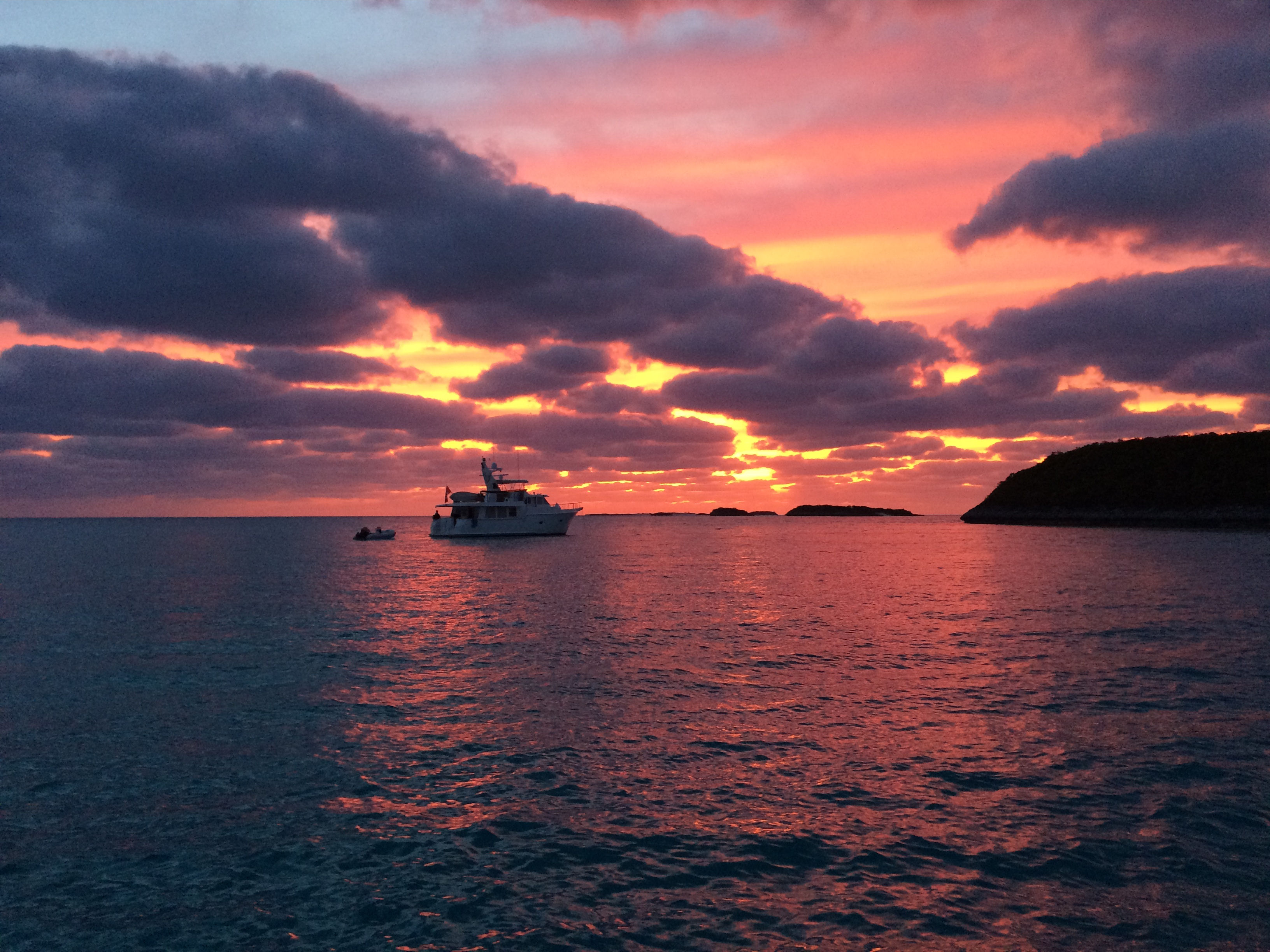
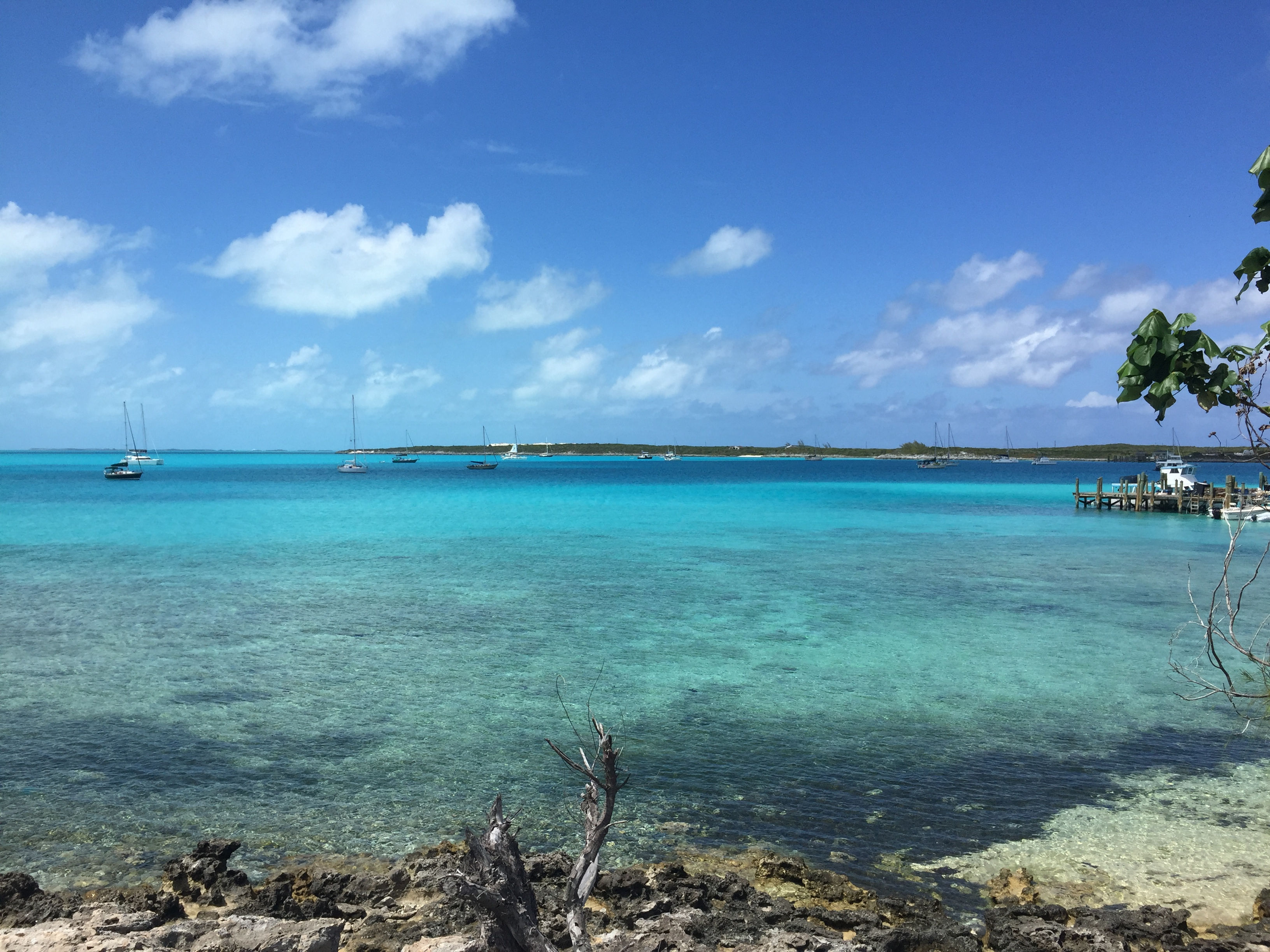
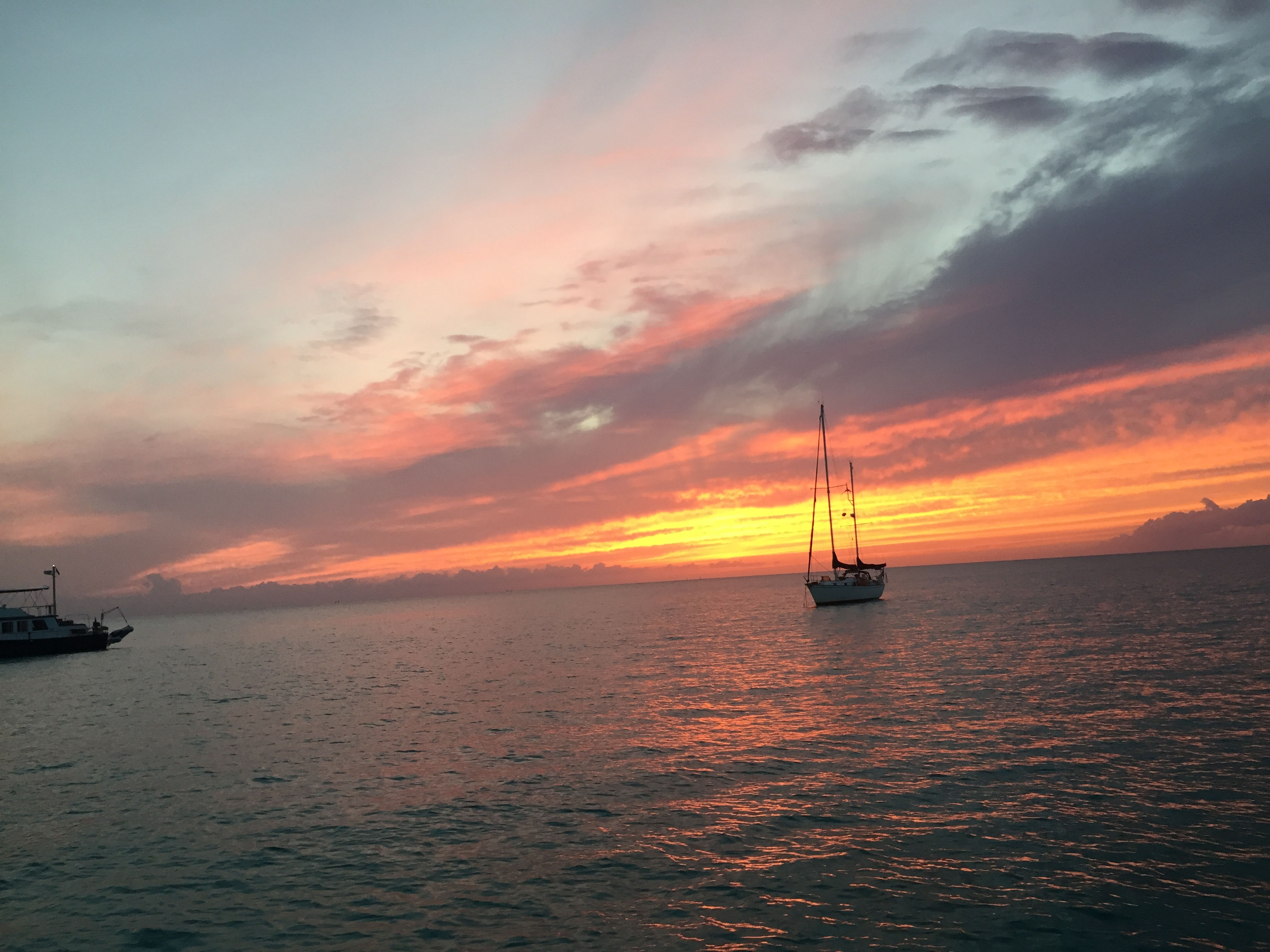
To catch you up on our whereabouts….we left the blog when we were in Emerald Bay Marina on Great Exuma. On 3/21 we sailed down to Georgetown and anchored off Volleyball Beach and the Chat ‘n Chill in Elisabeth Harbor at position 23 31.096N, 075 45.526W. Having been there before, we showed our travel mates the ropes (so to speak). We visited Chat ‘n Chill, St Frances restaurant and bar, went to Georgetown a few times for groceries, liquor, and boat parts; and also hit some restaurants. One of the highlights was a great happy hour at Augusta Bay resort across the harbor. They have a great bar there and the people are really friendly. They had 2 for 1 rum and Cokes that were mostly rum…2 for 5$ is a major bargain in the Bahamas! On 3/26 we had a good window to return up the Exuma chain and made our way back to Blackpoint, anchoring in position 24 06.198N, 076 24.174W. We waited out several days of high winds, including a day and night of northwest winds (not forecasted from that direction) that rocked us pretty badly. Of course we took advantage of the rum punch specials at Scorpios happy hour while we were there! We were treated to a couple of good sunsets during our stay:
IMG_2928cmp
IMG_2929cmp
And a view of the anchorage from shore:
IMG_2933cmp

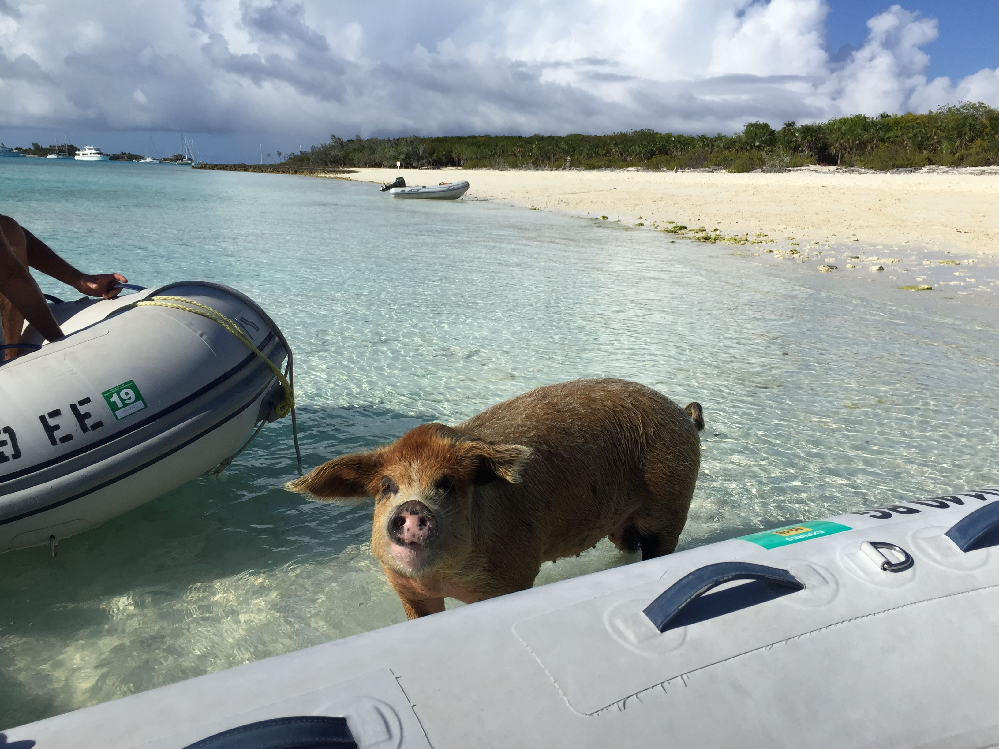
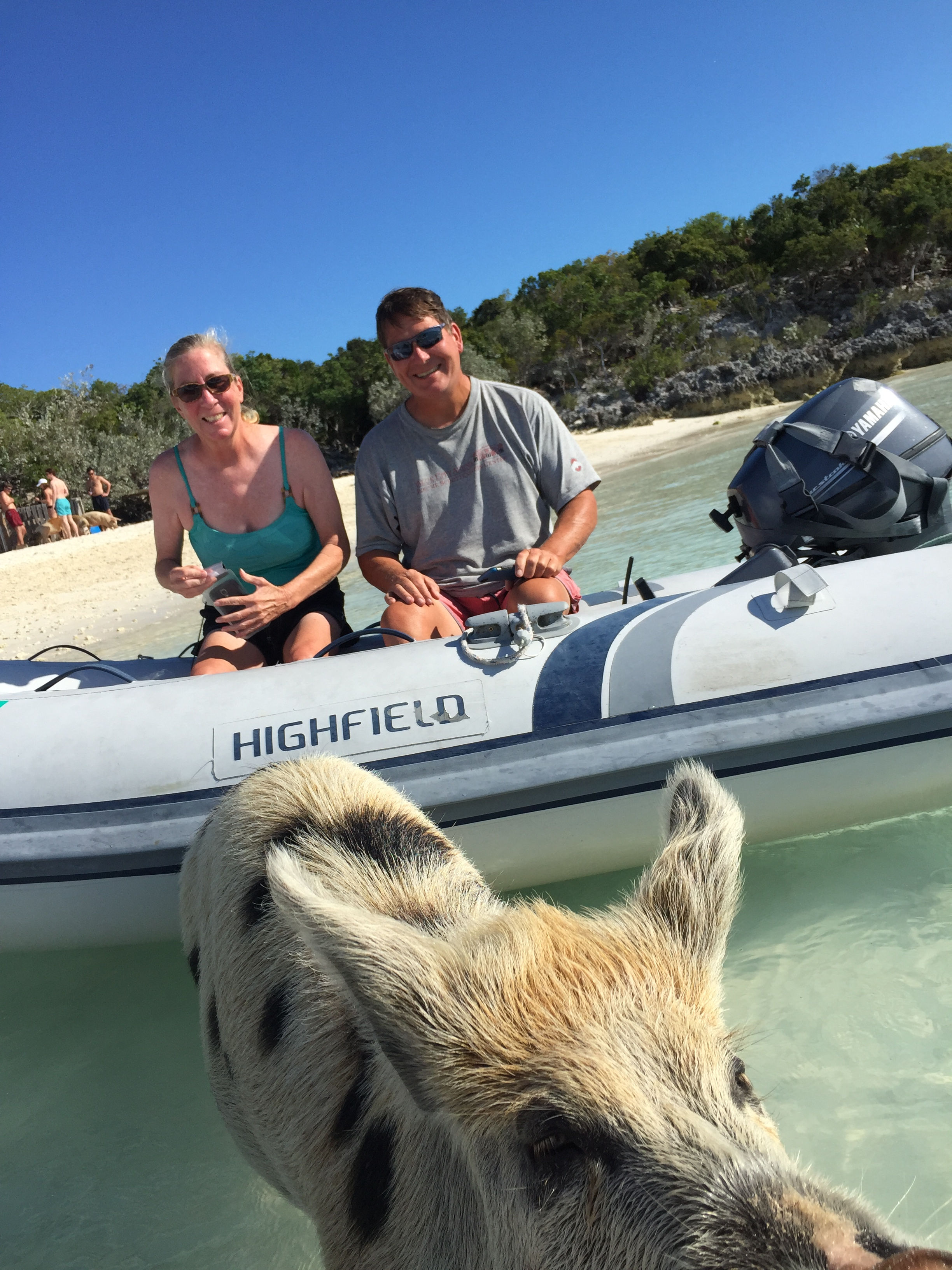
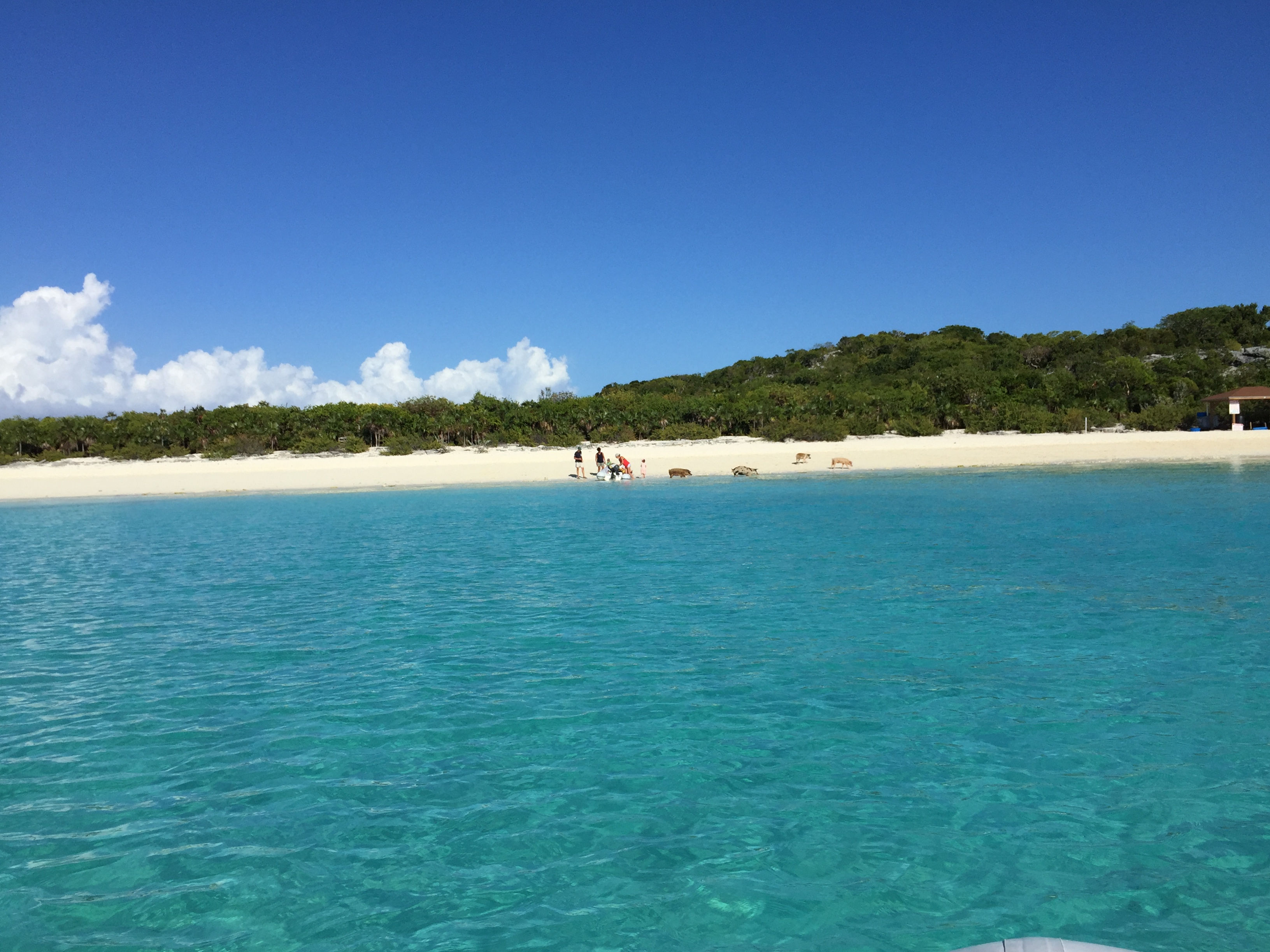
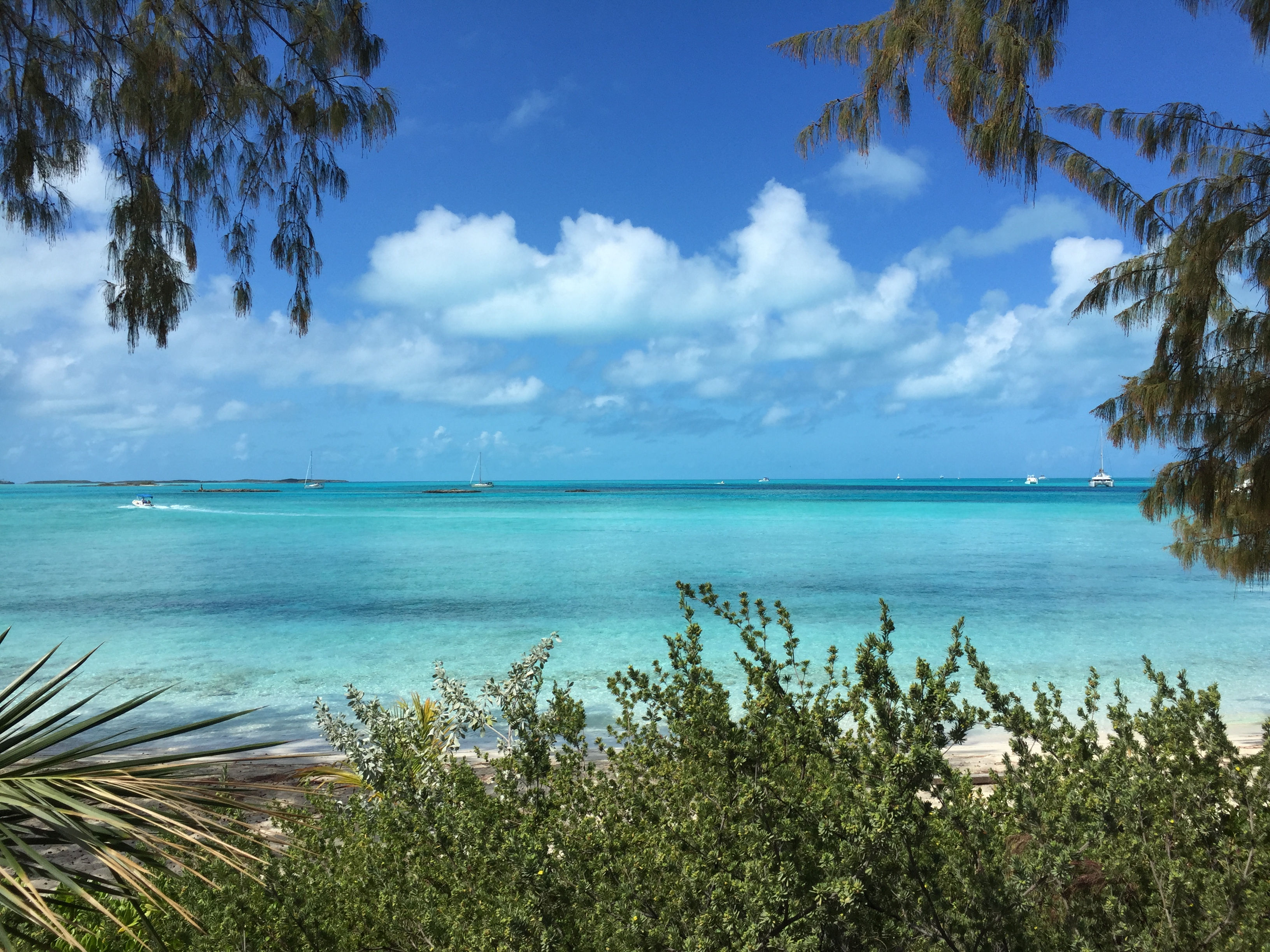
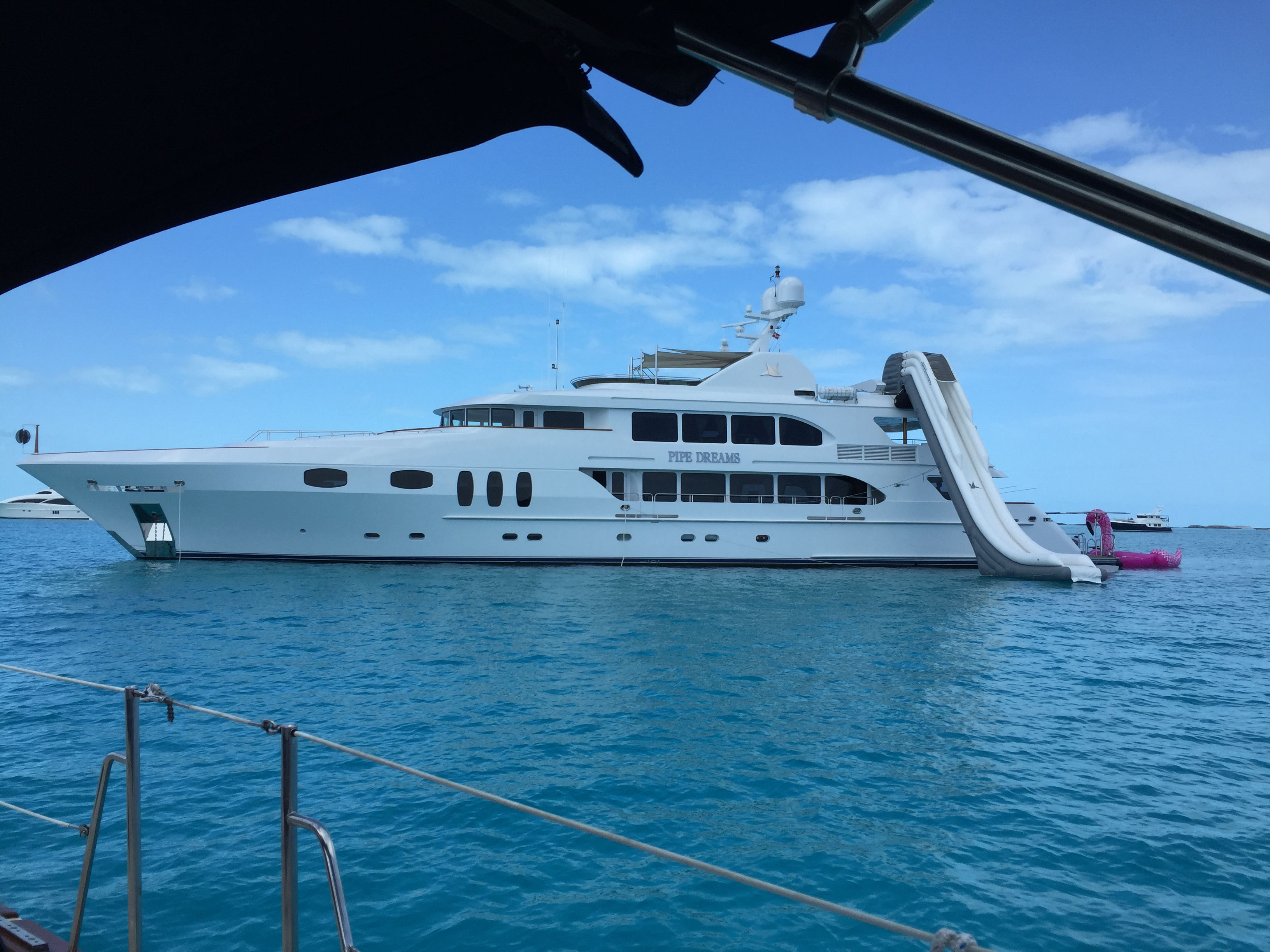
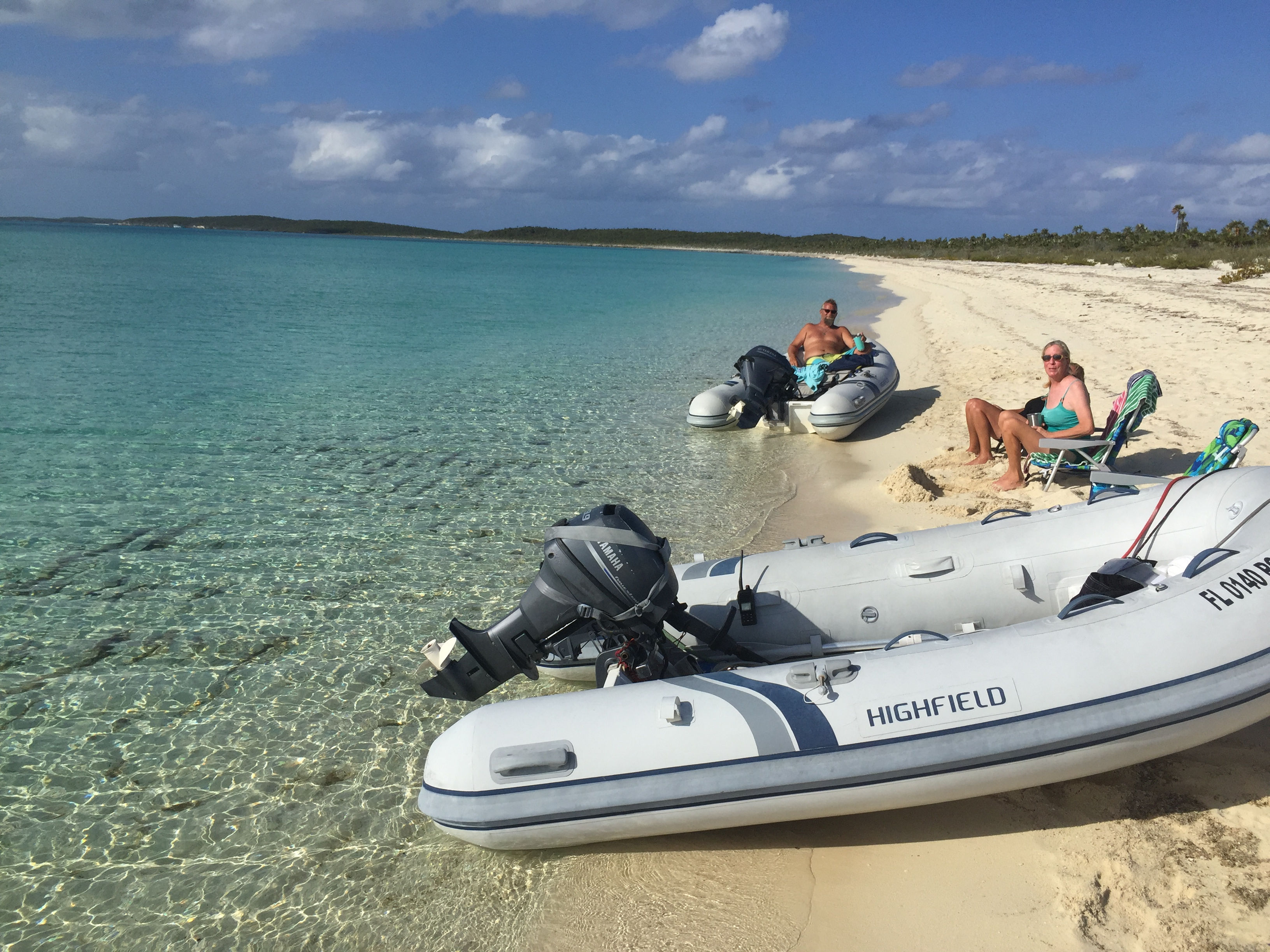
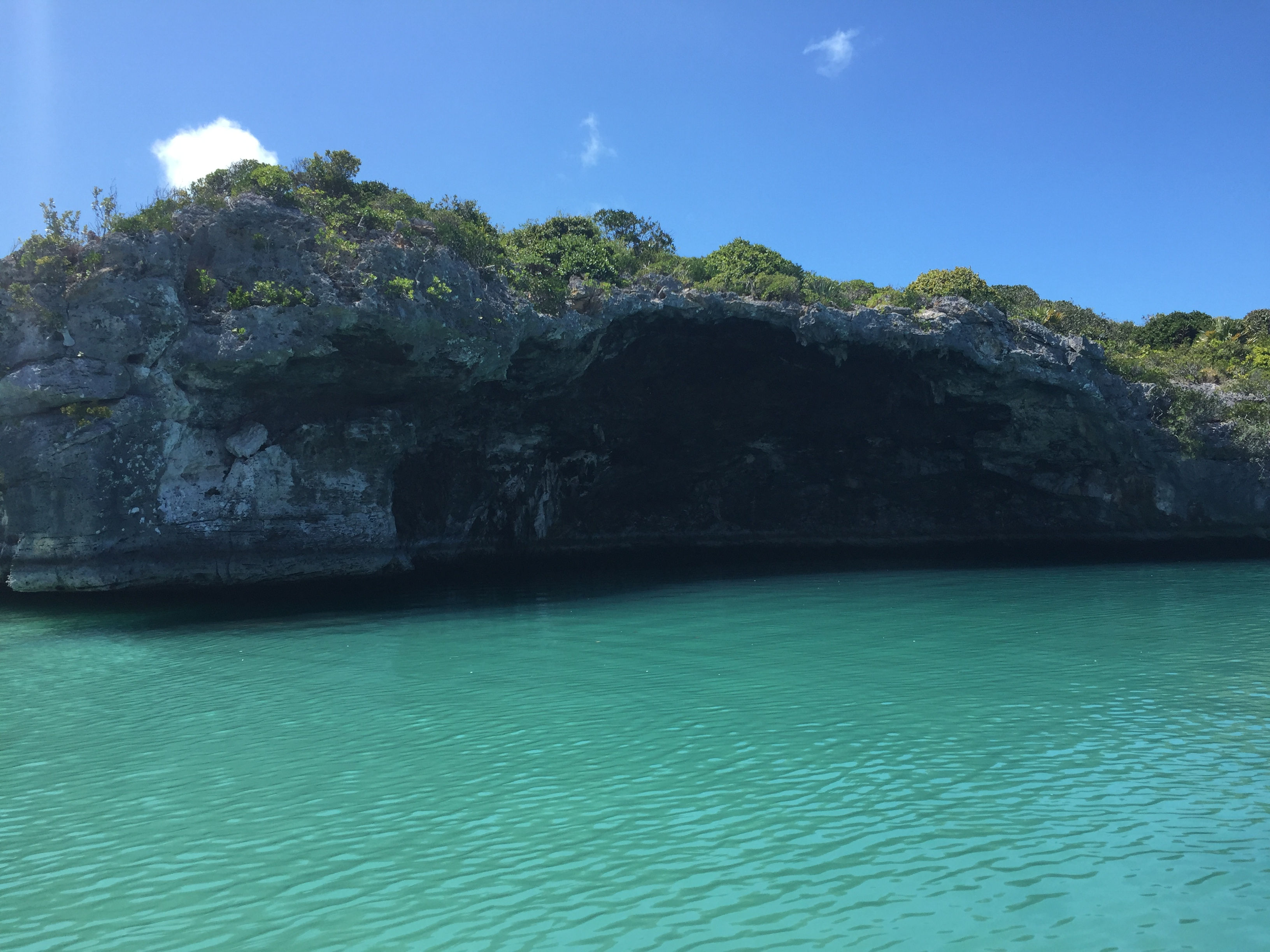
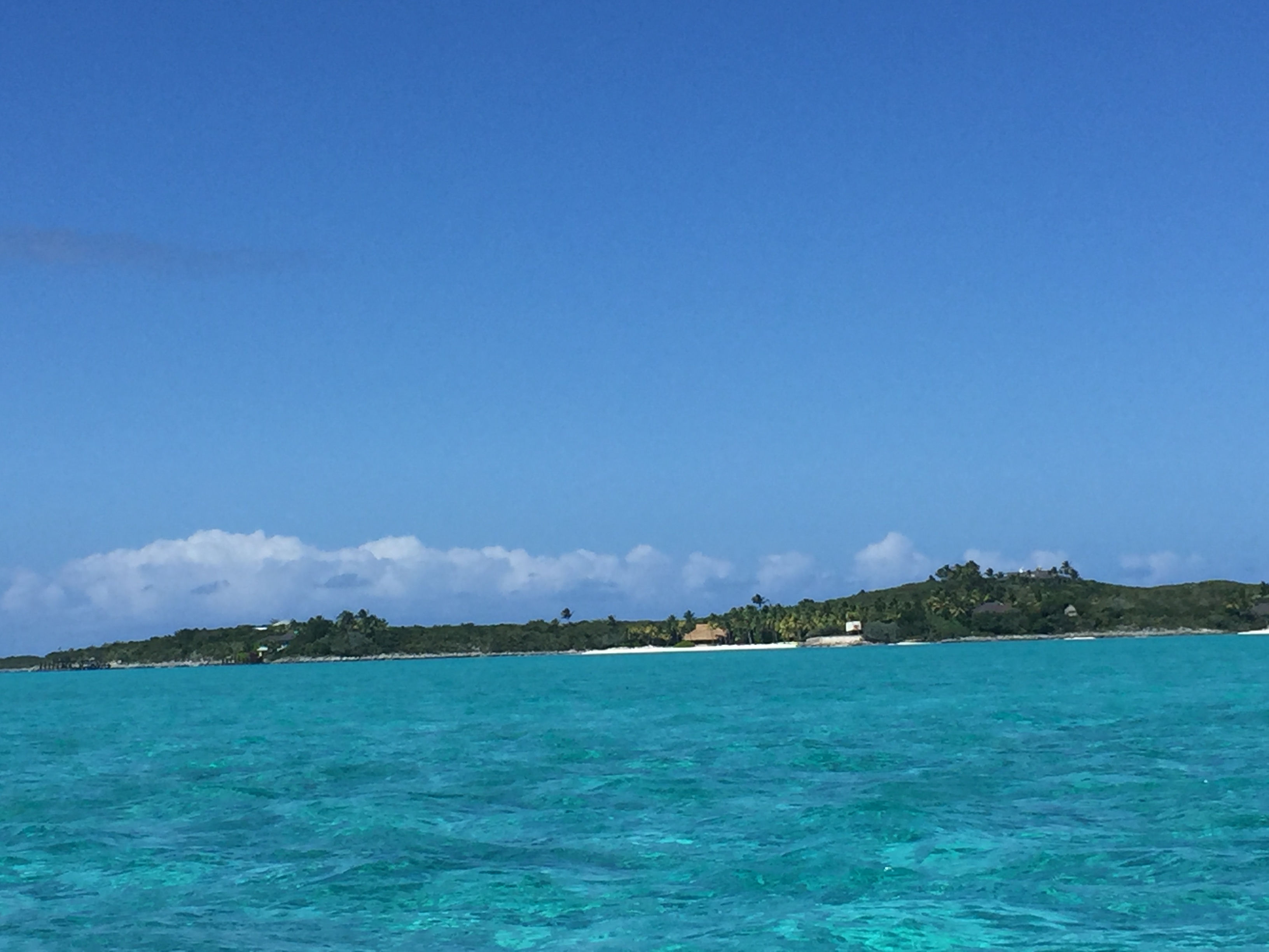
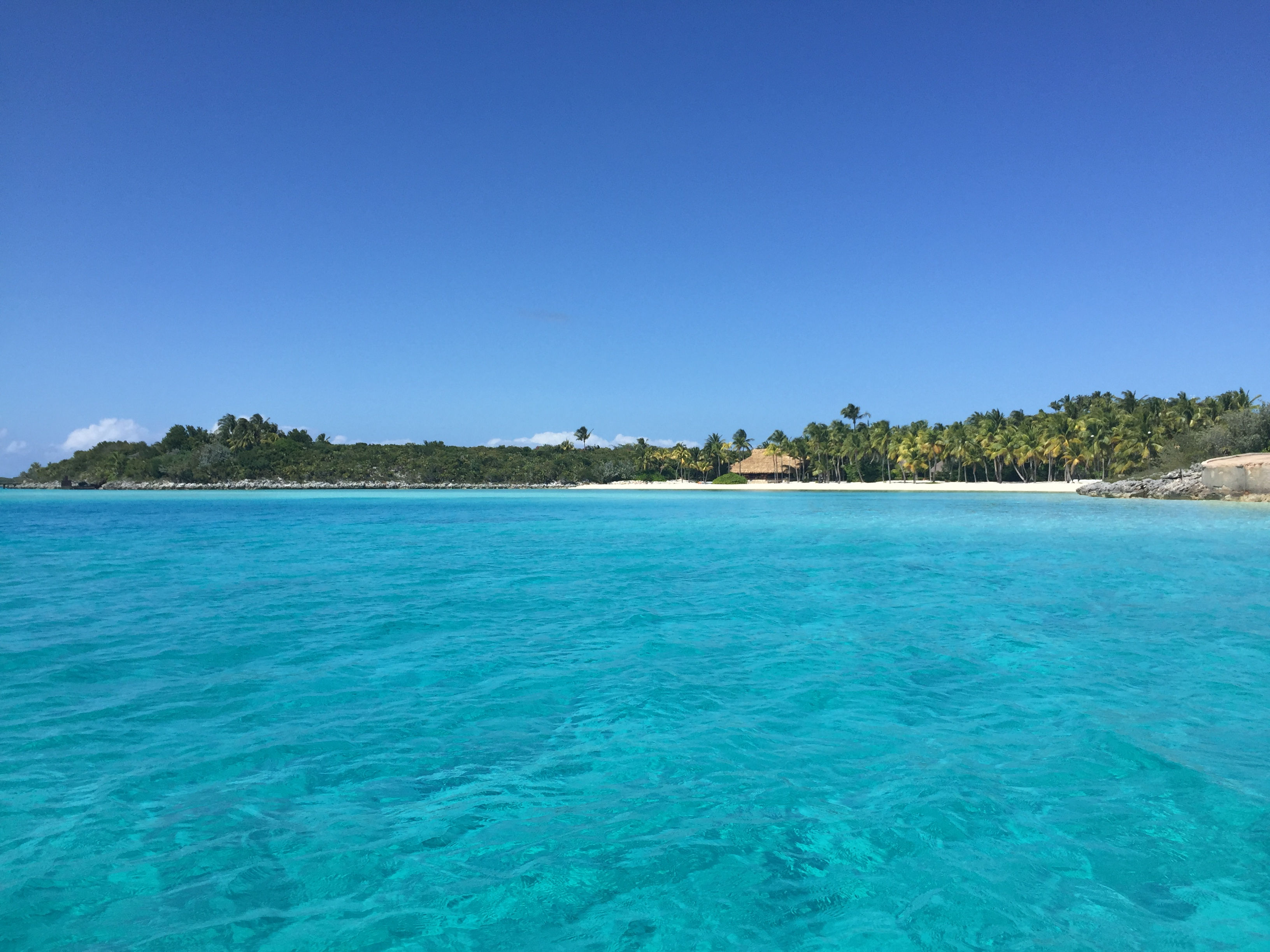
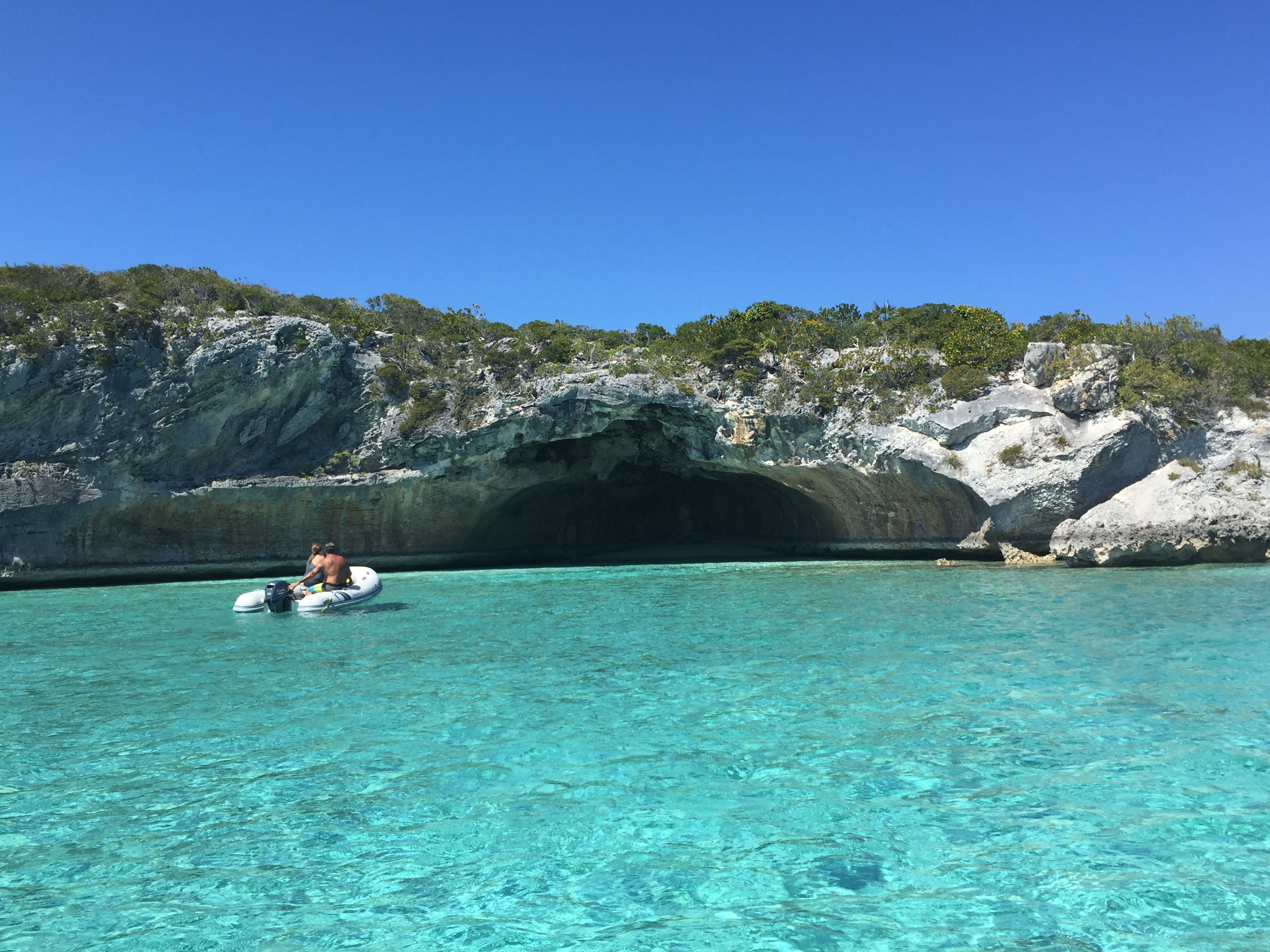
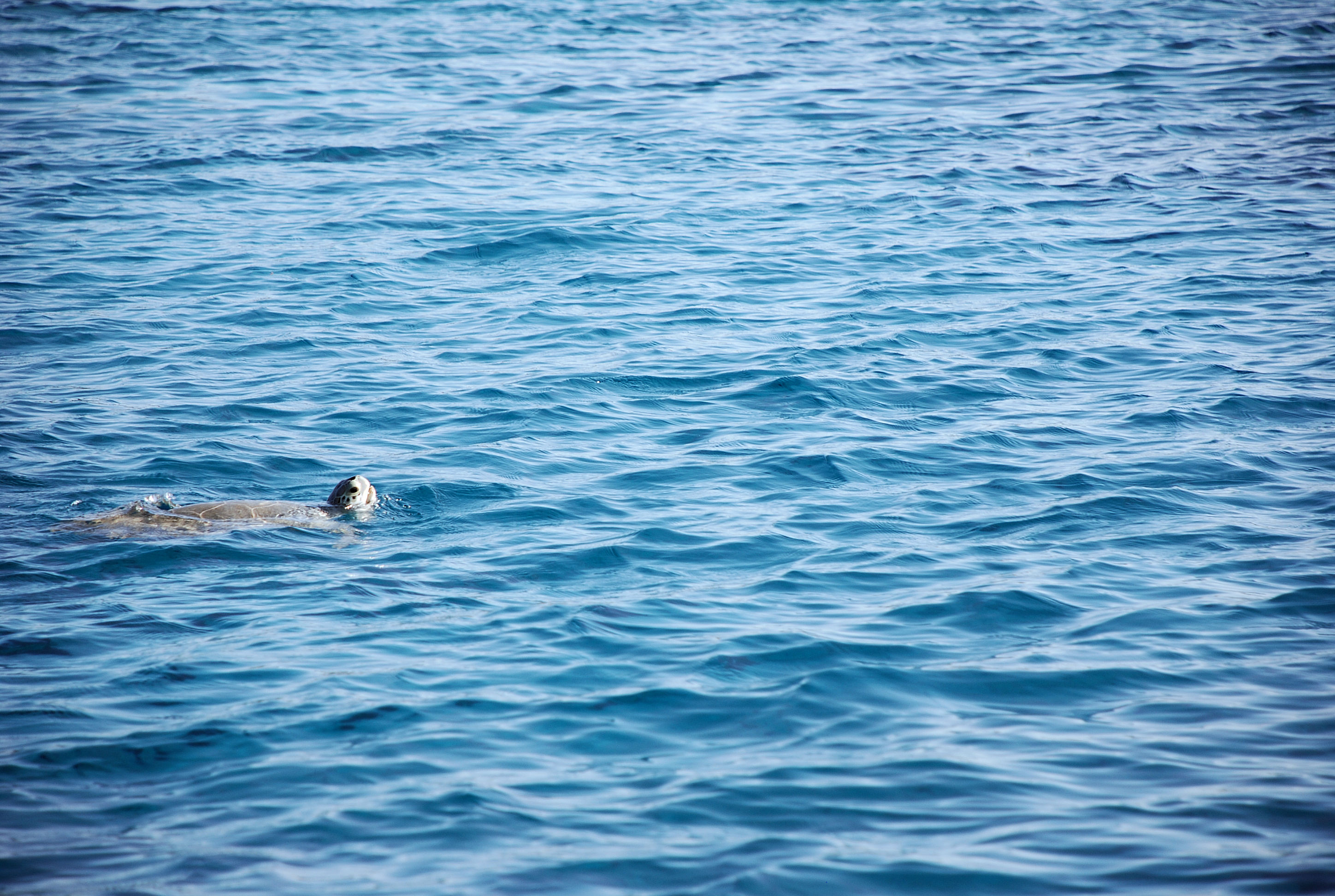
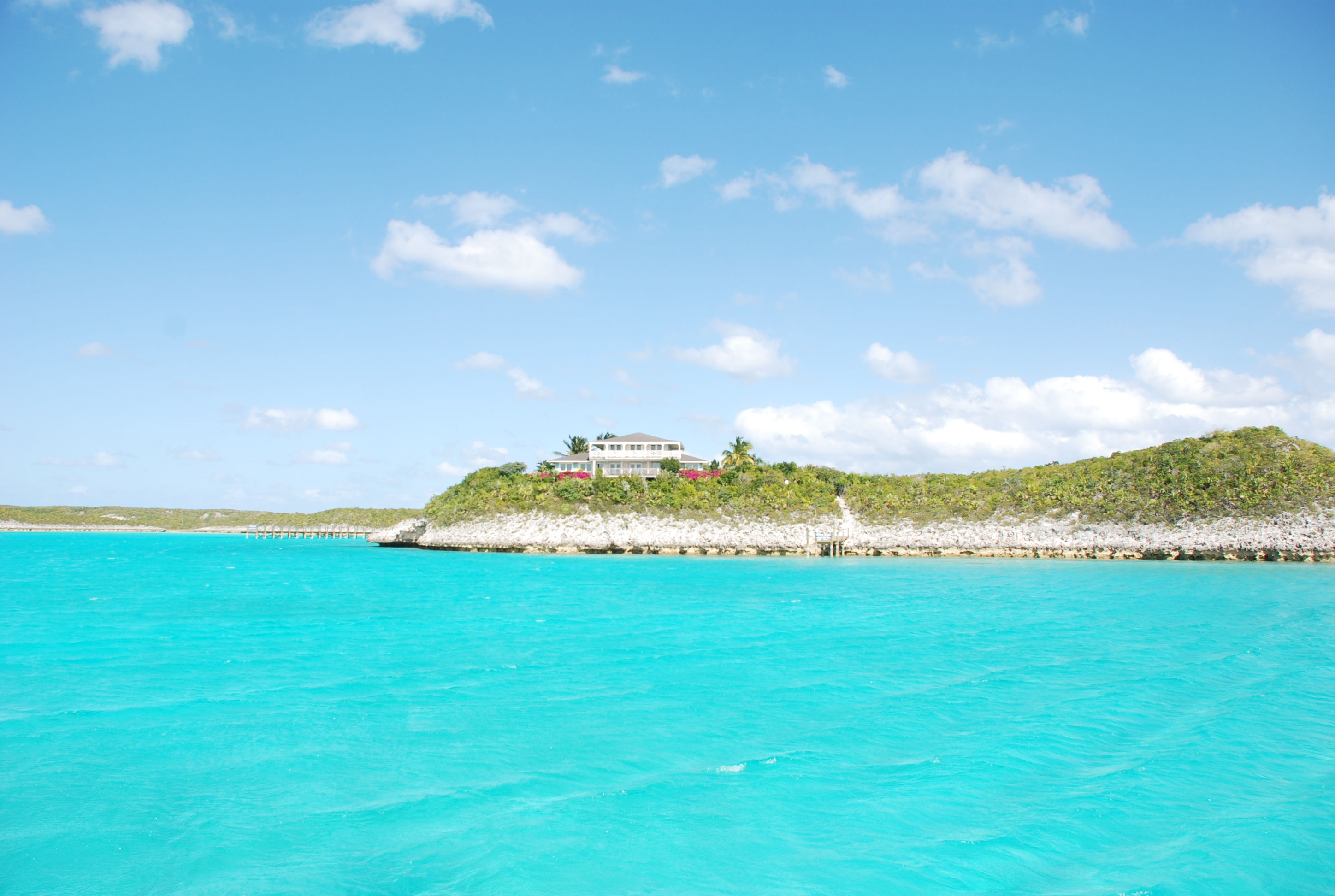
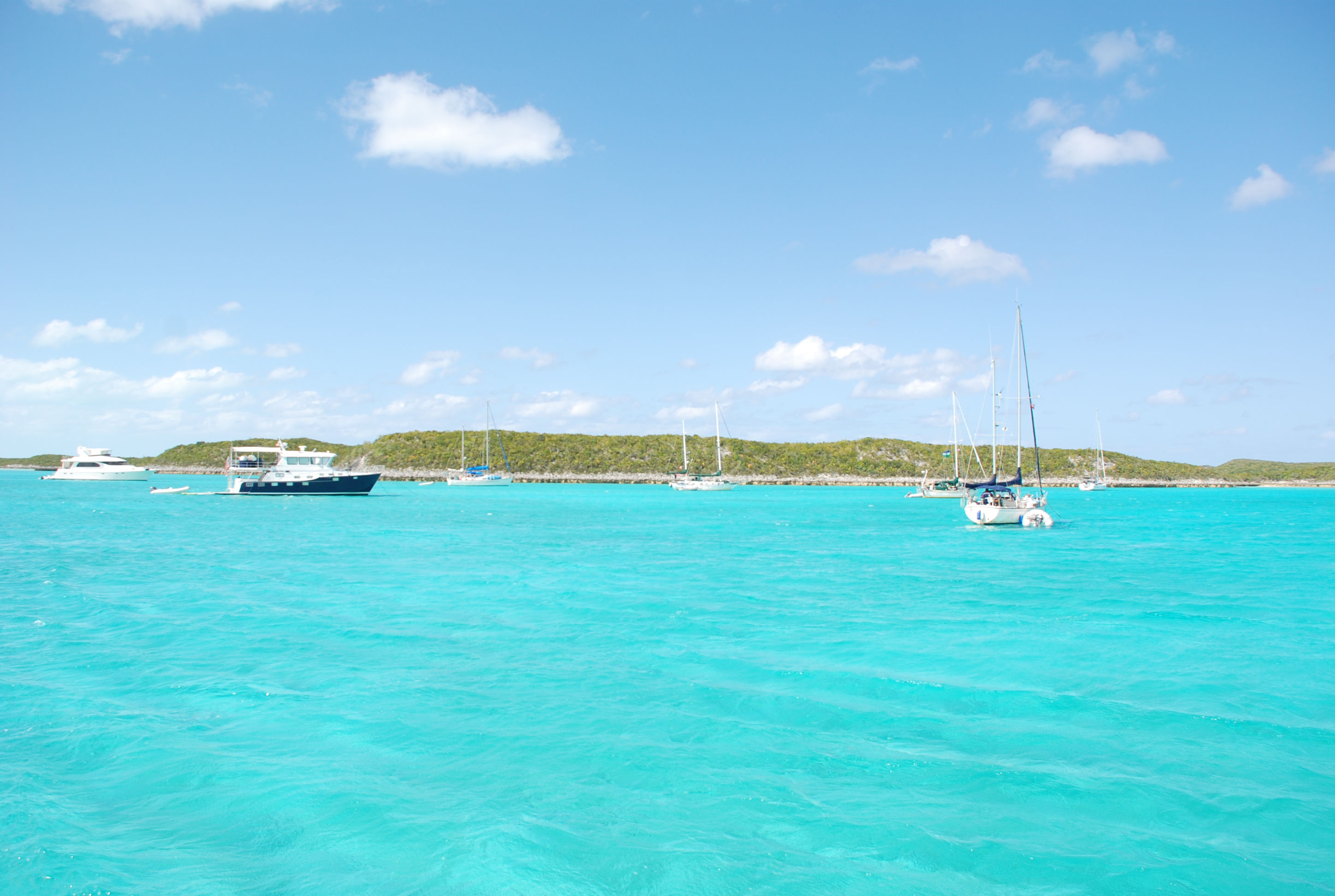
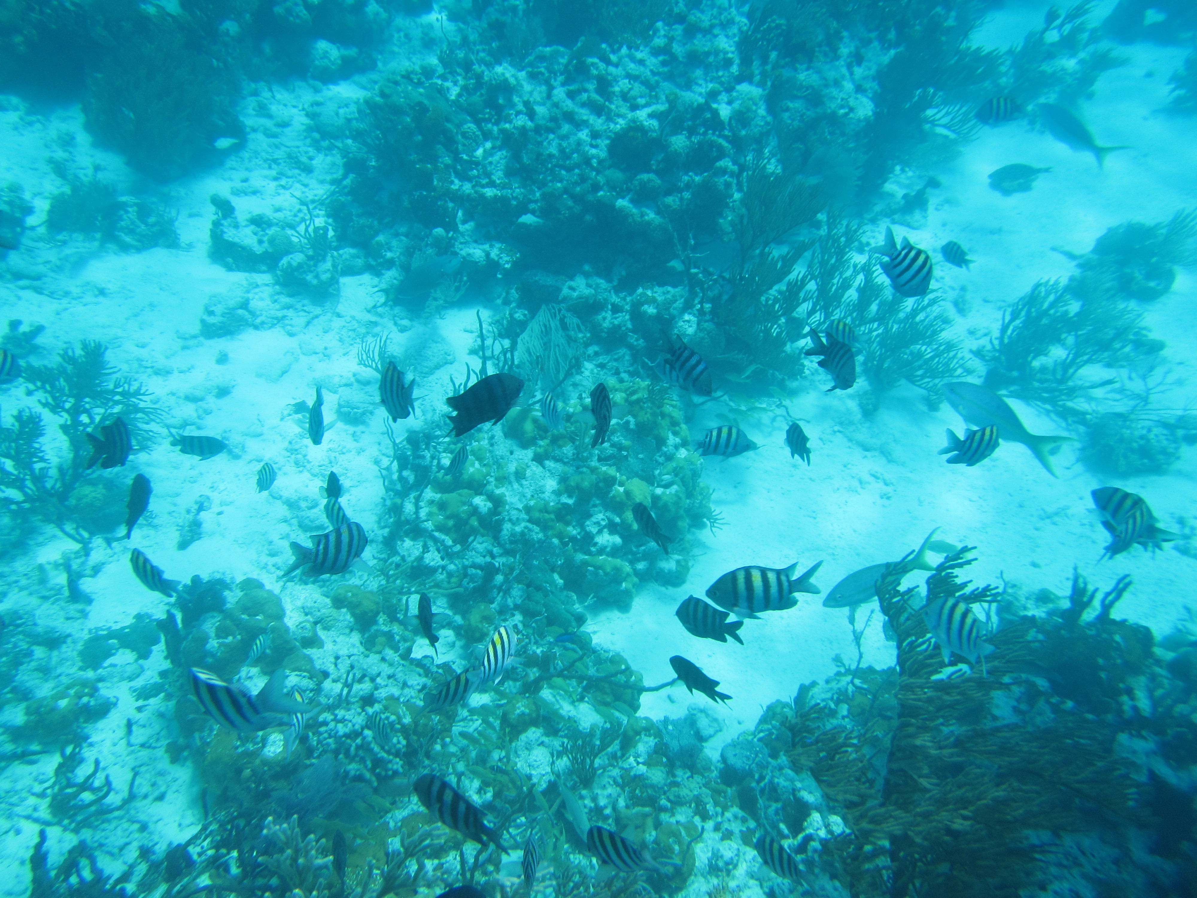
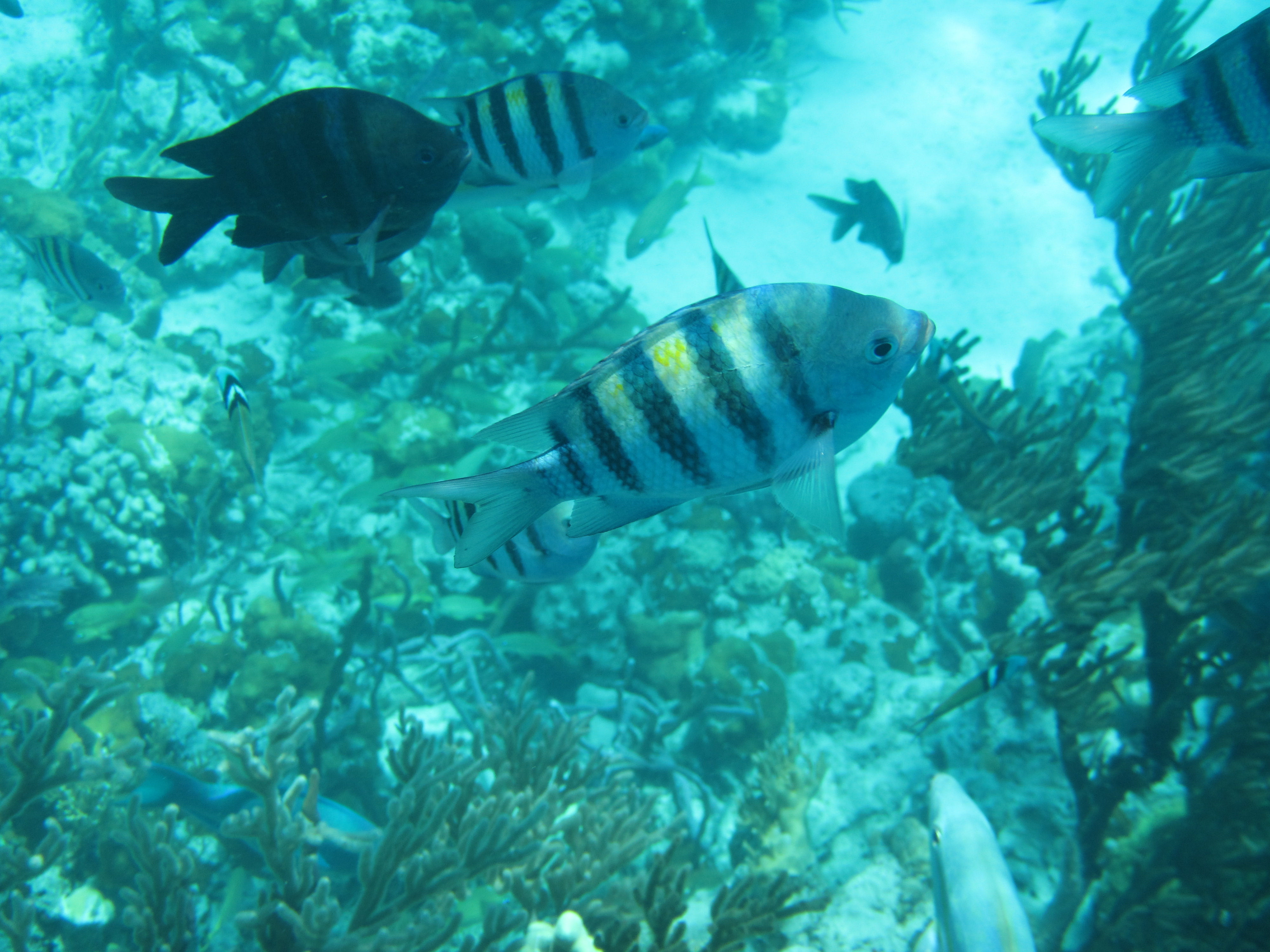
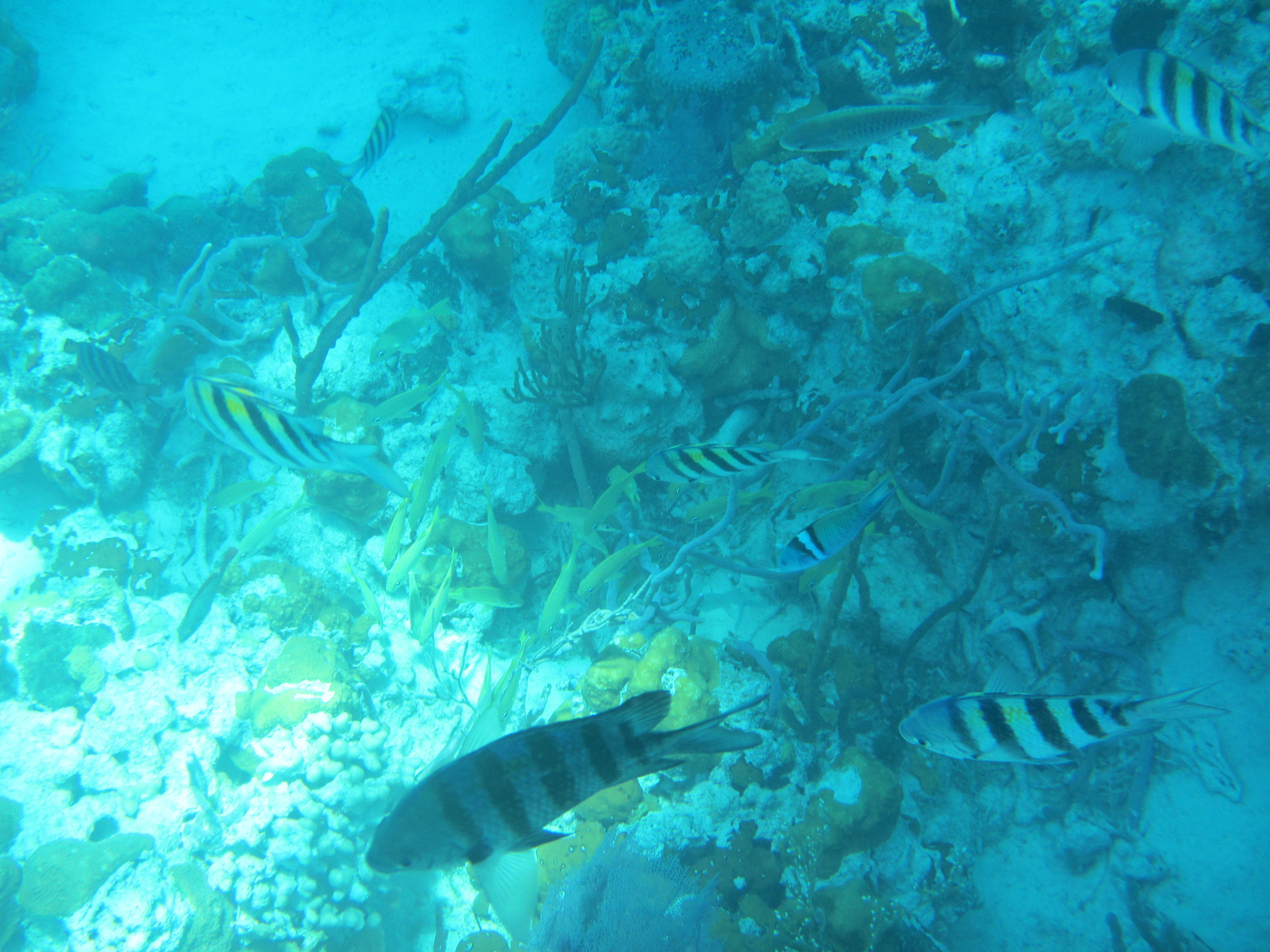
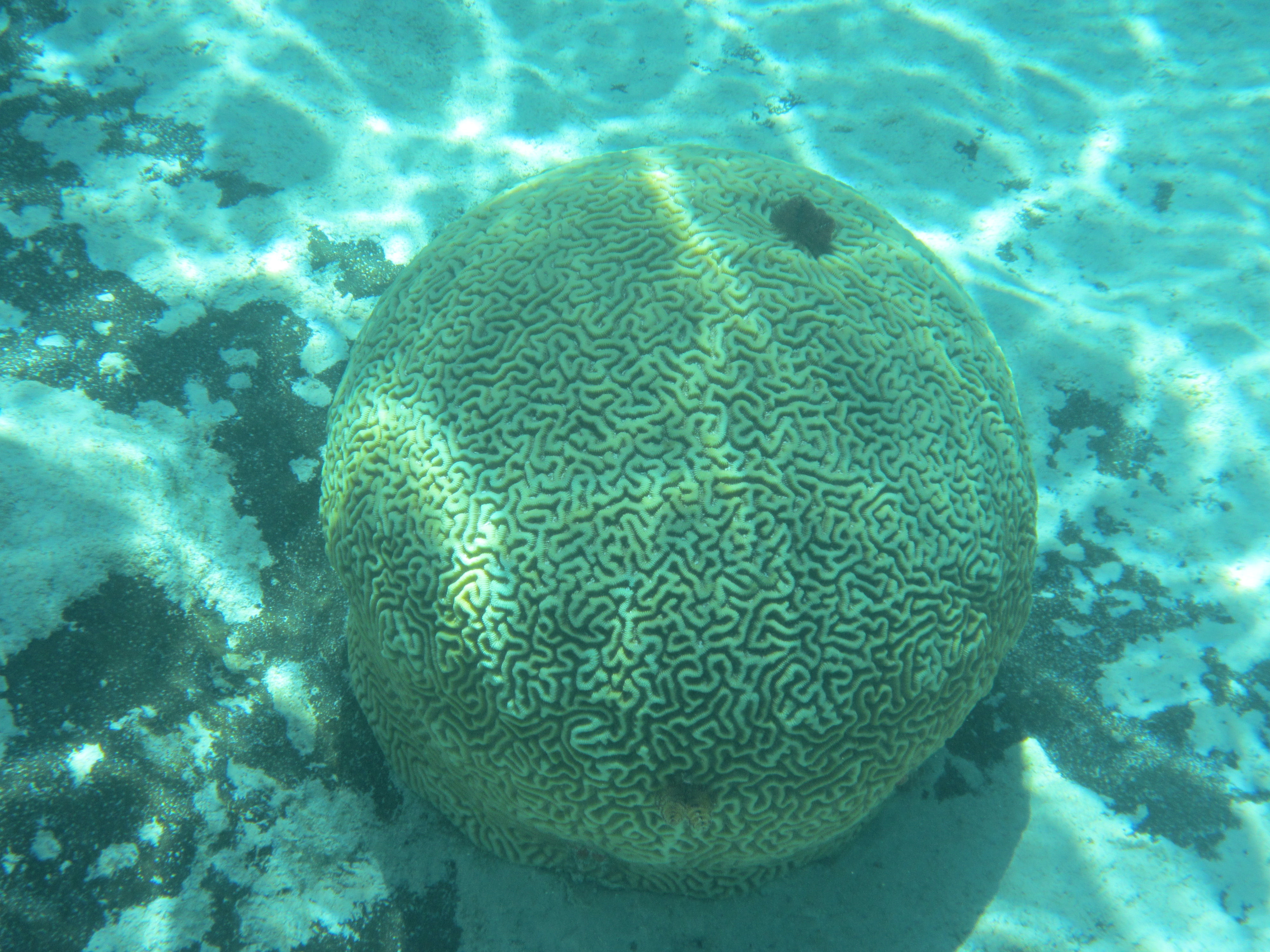
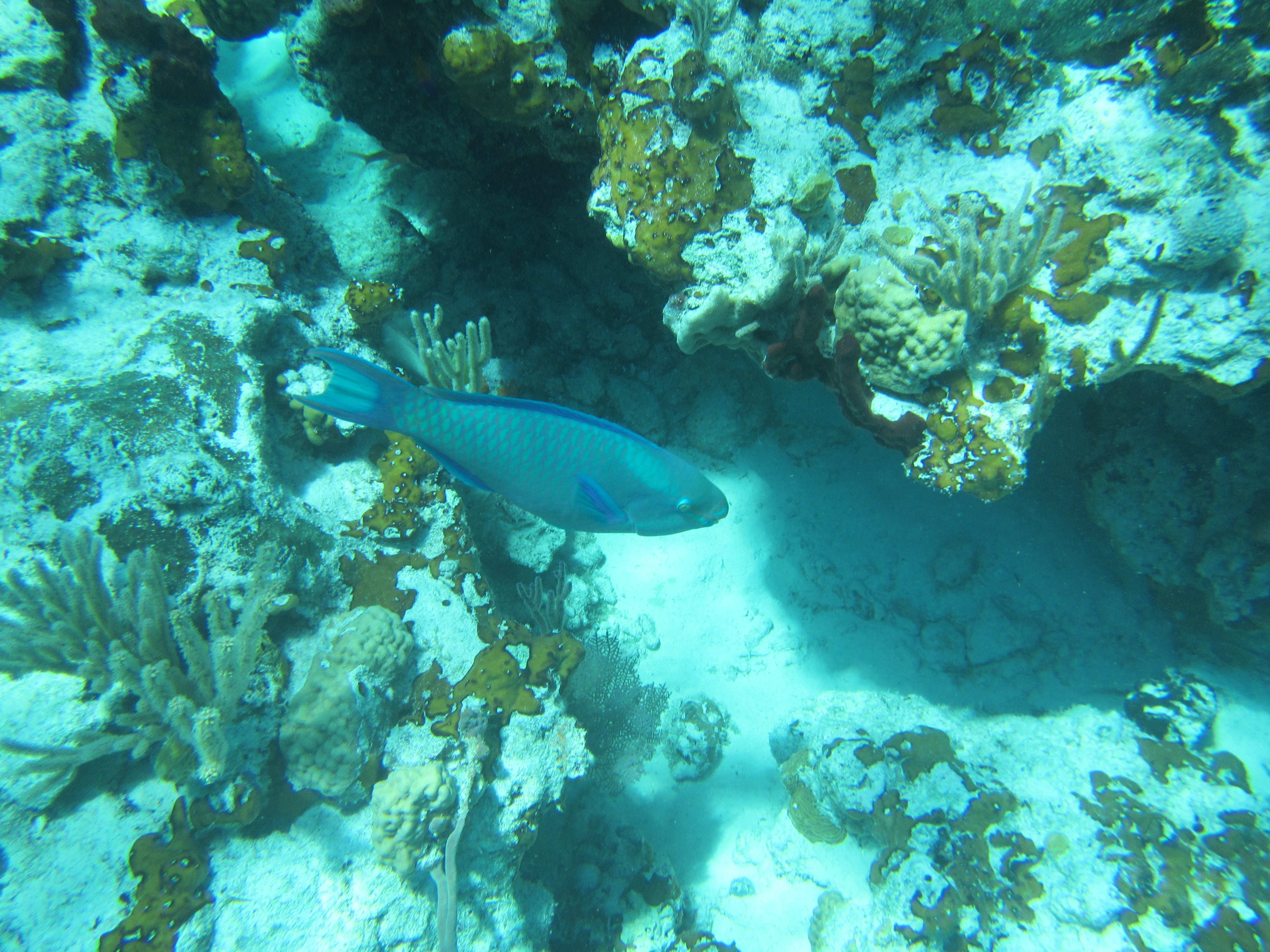
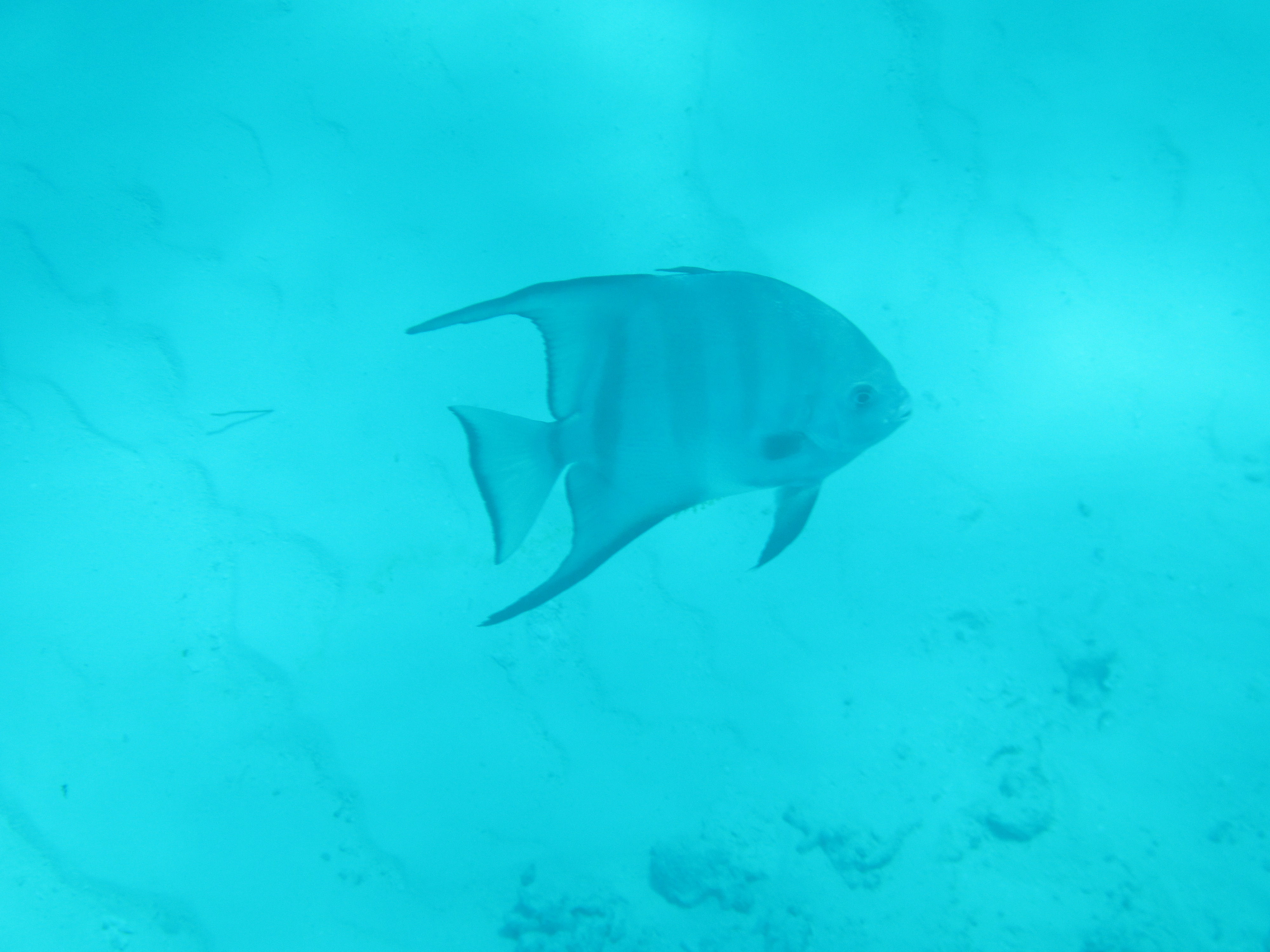
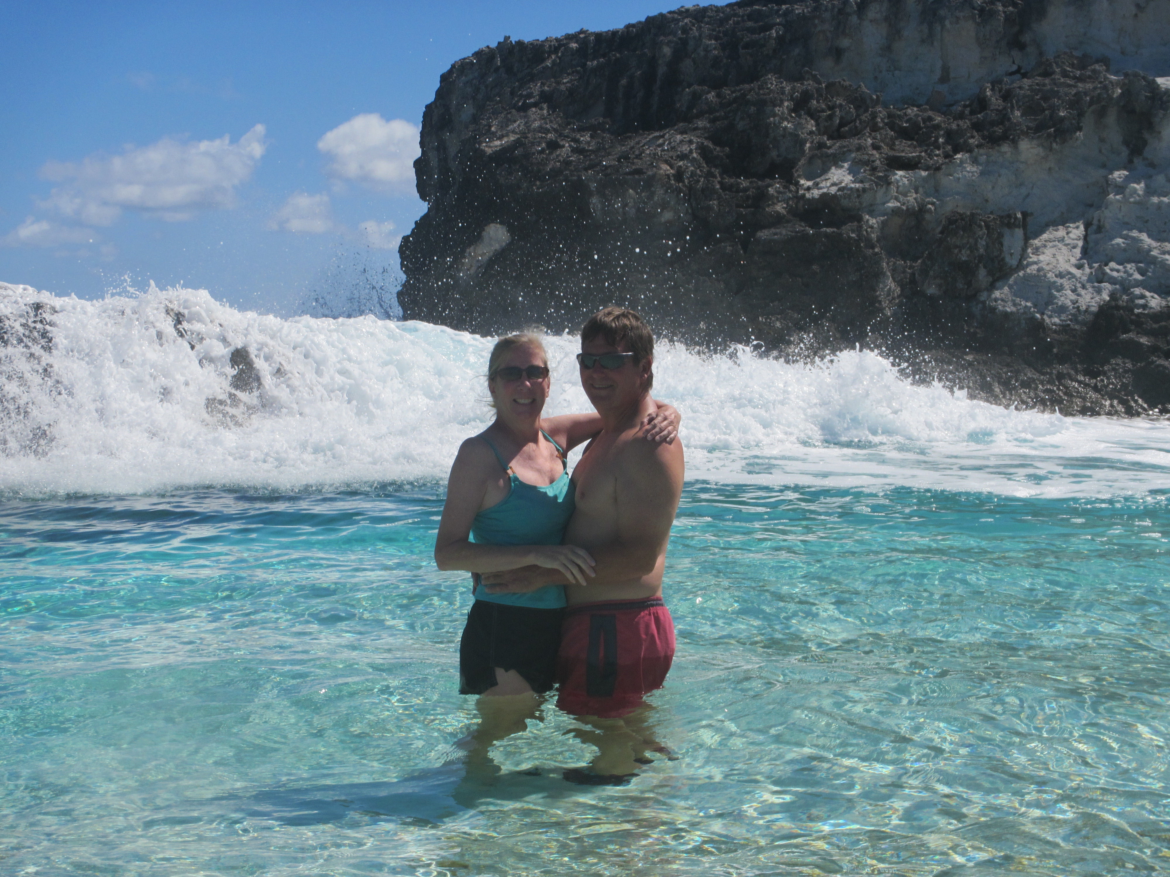
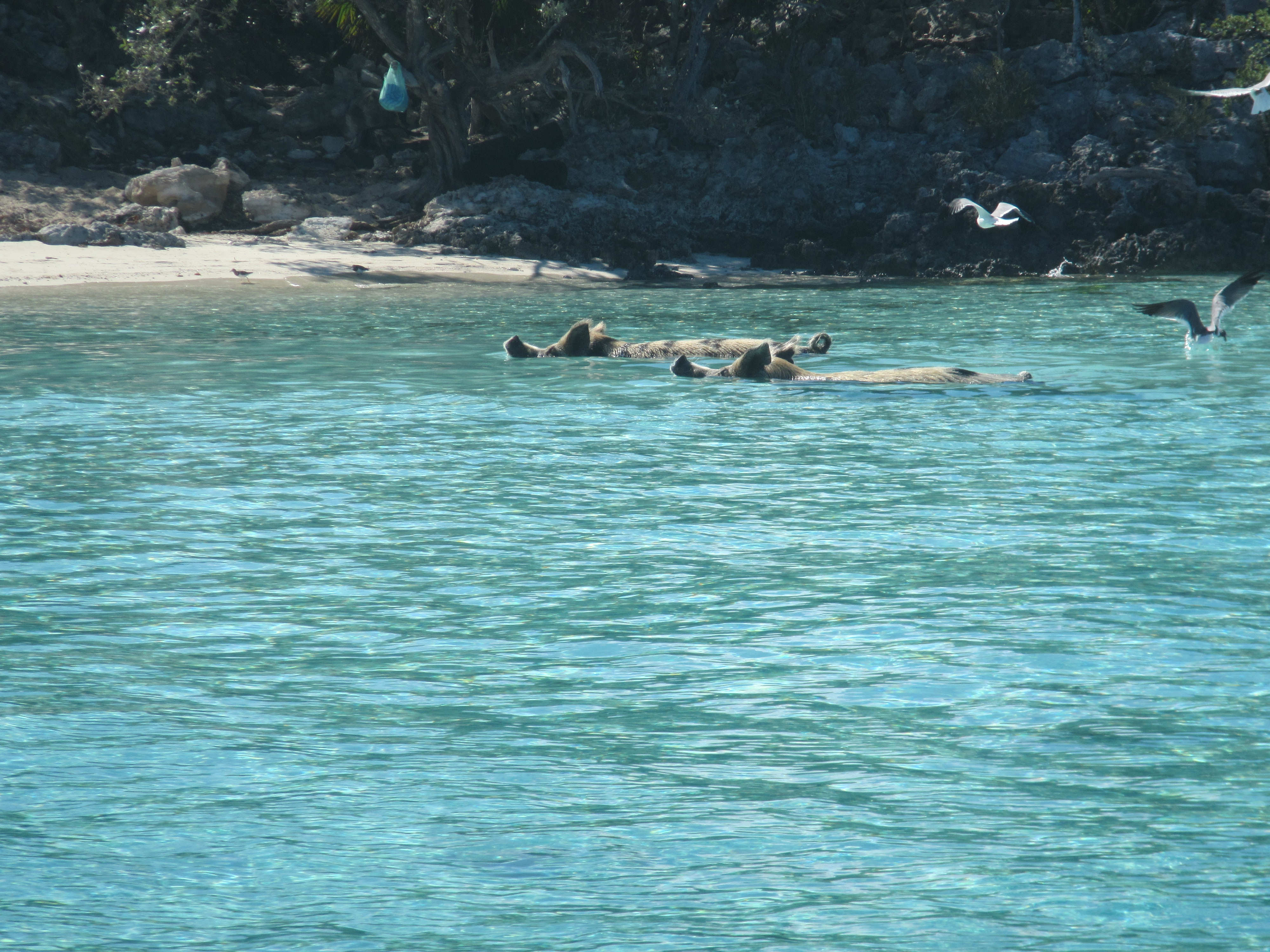
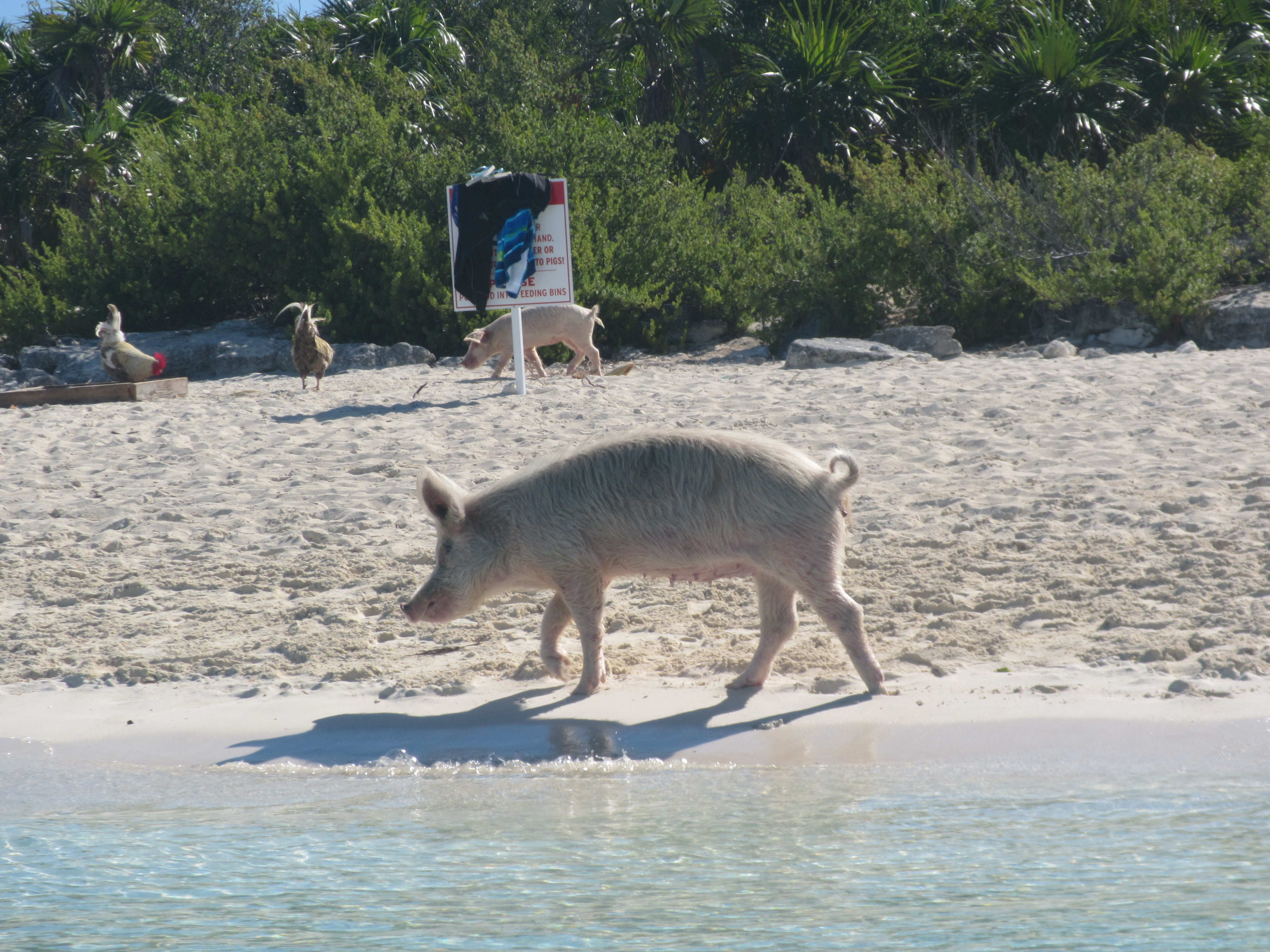
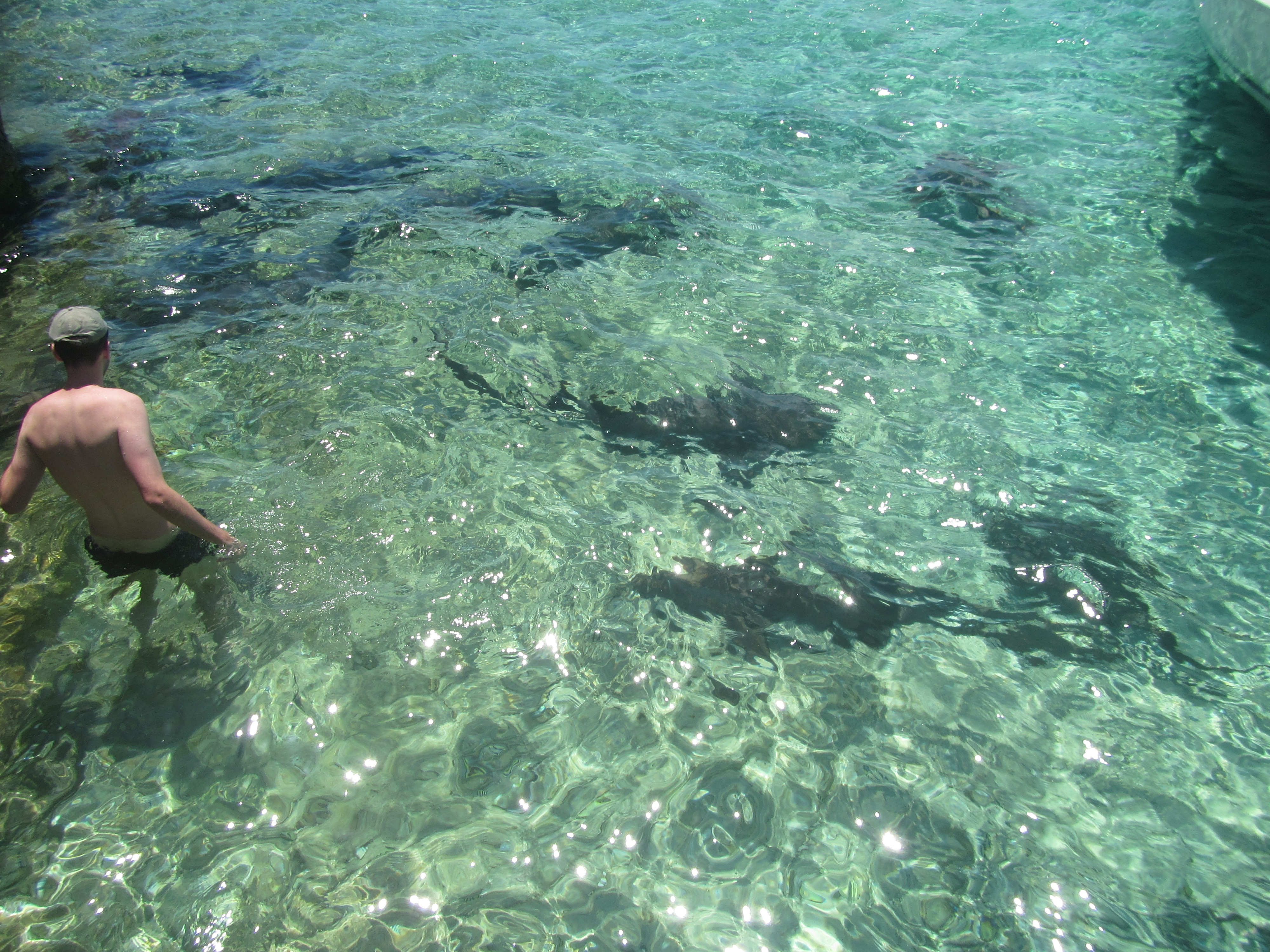
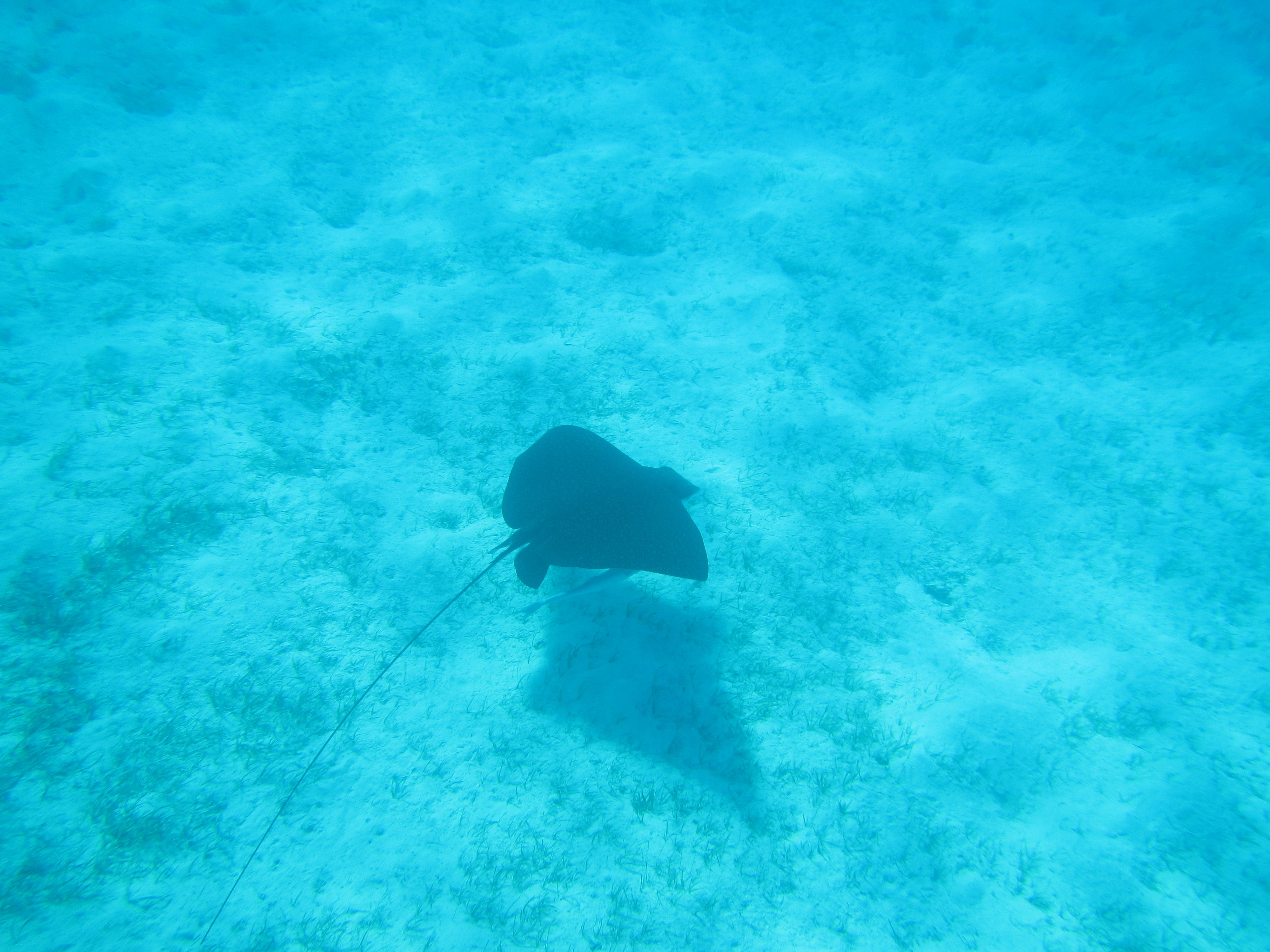
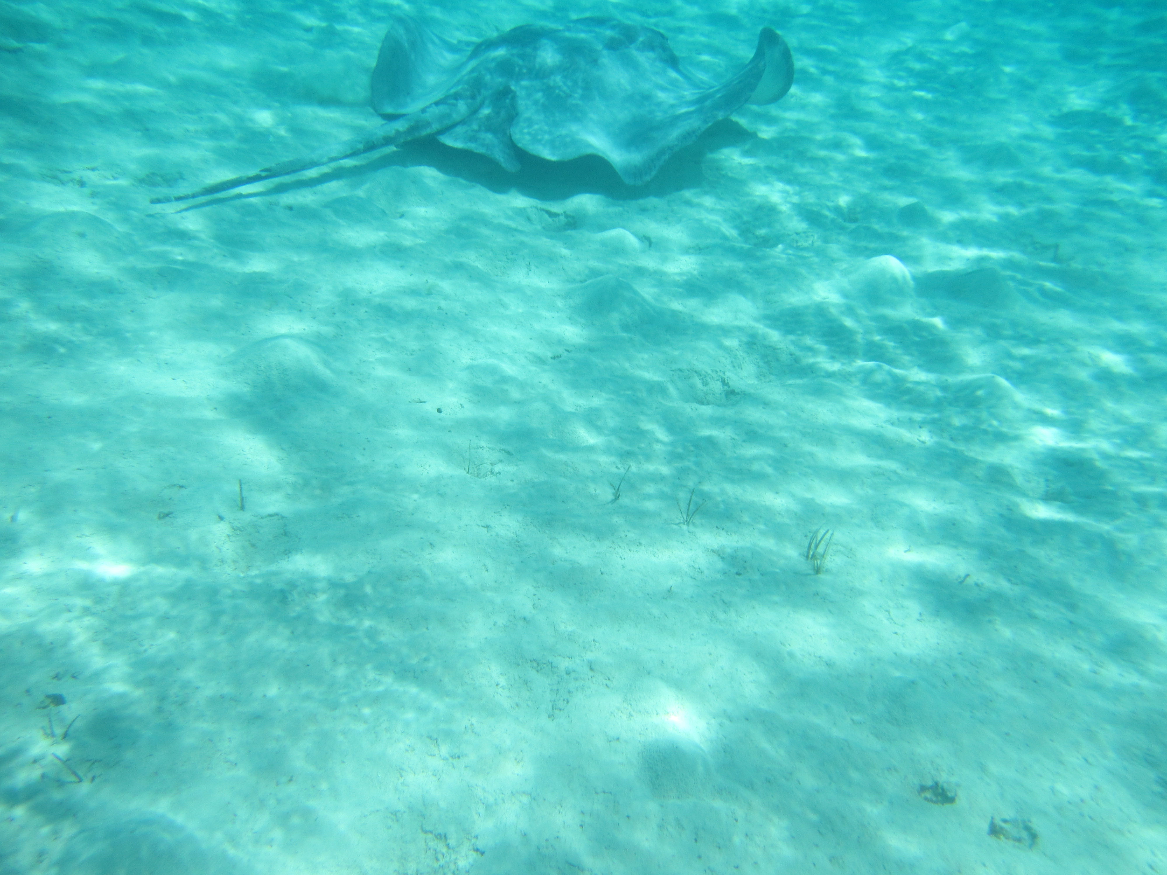
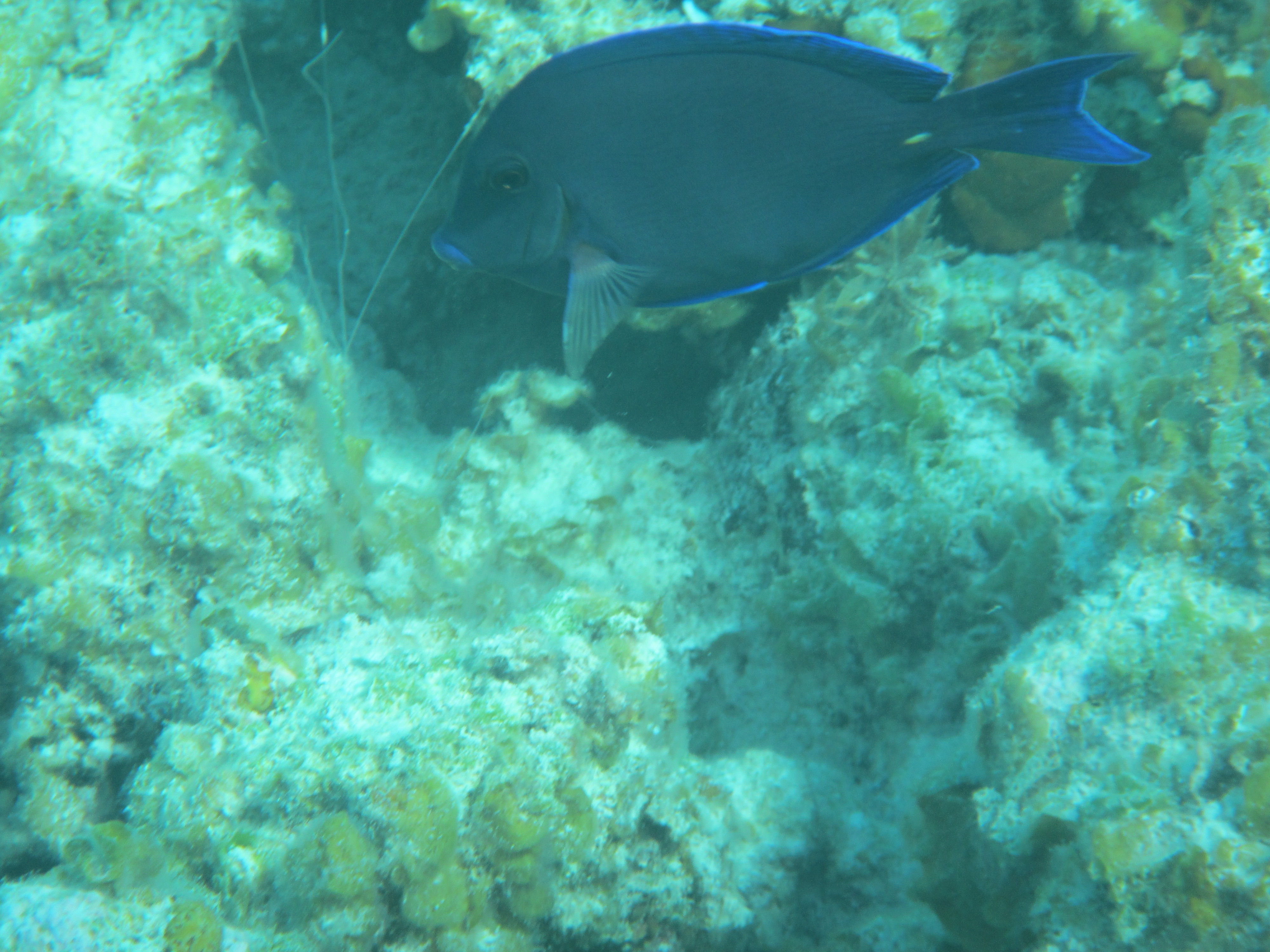
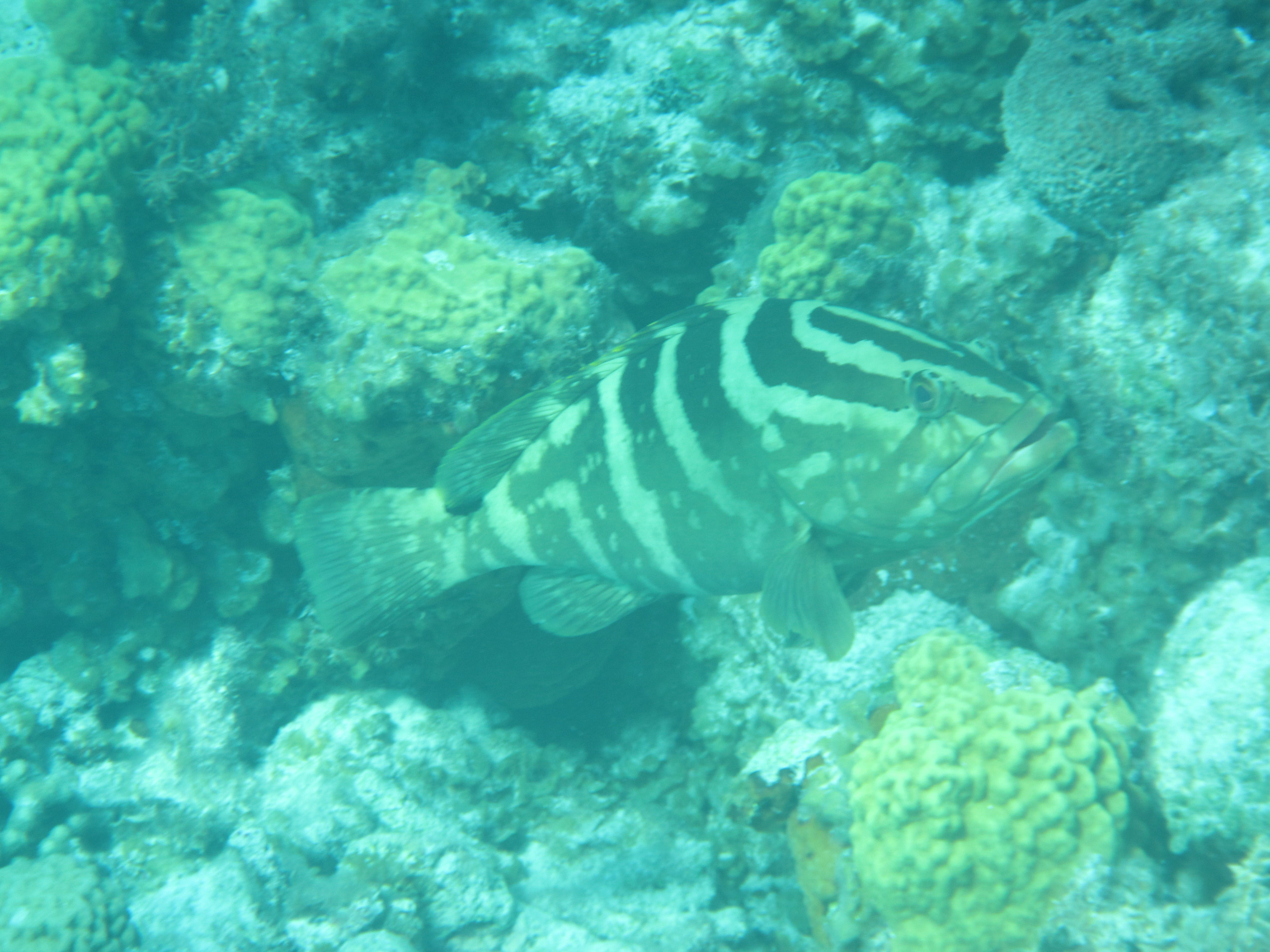
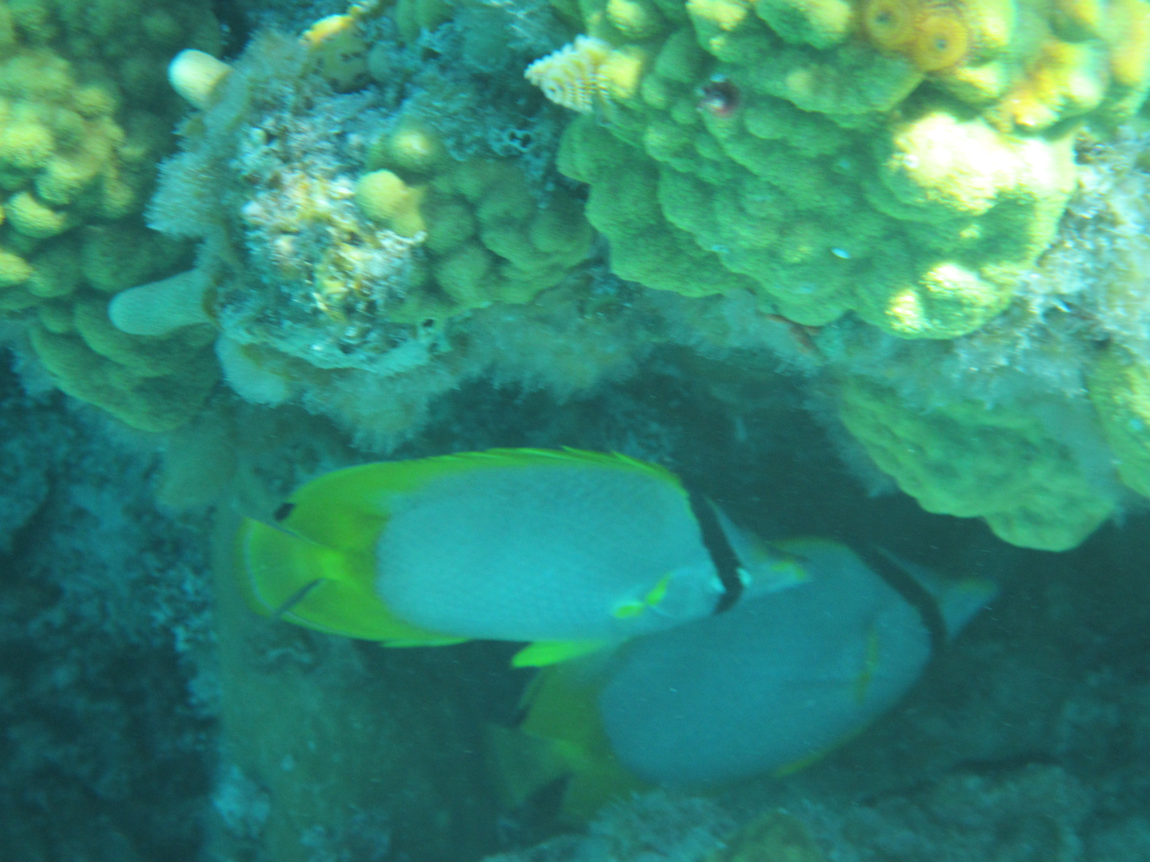
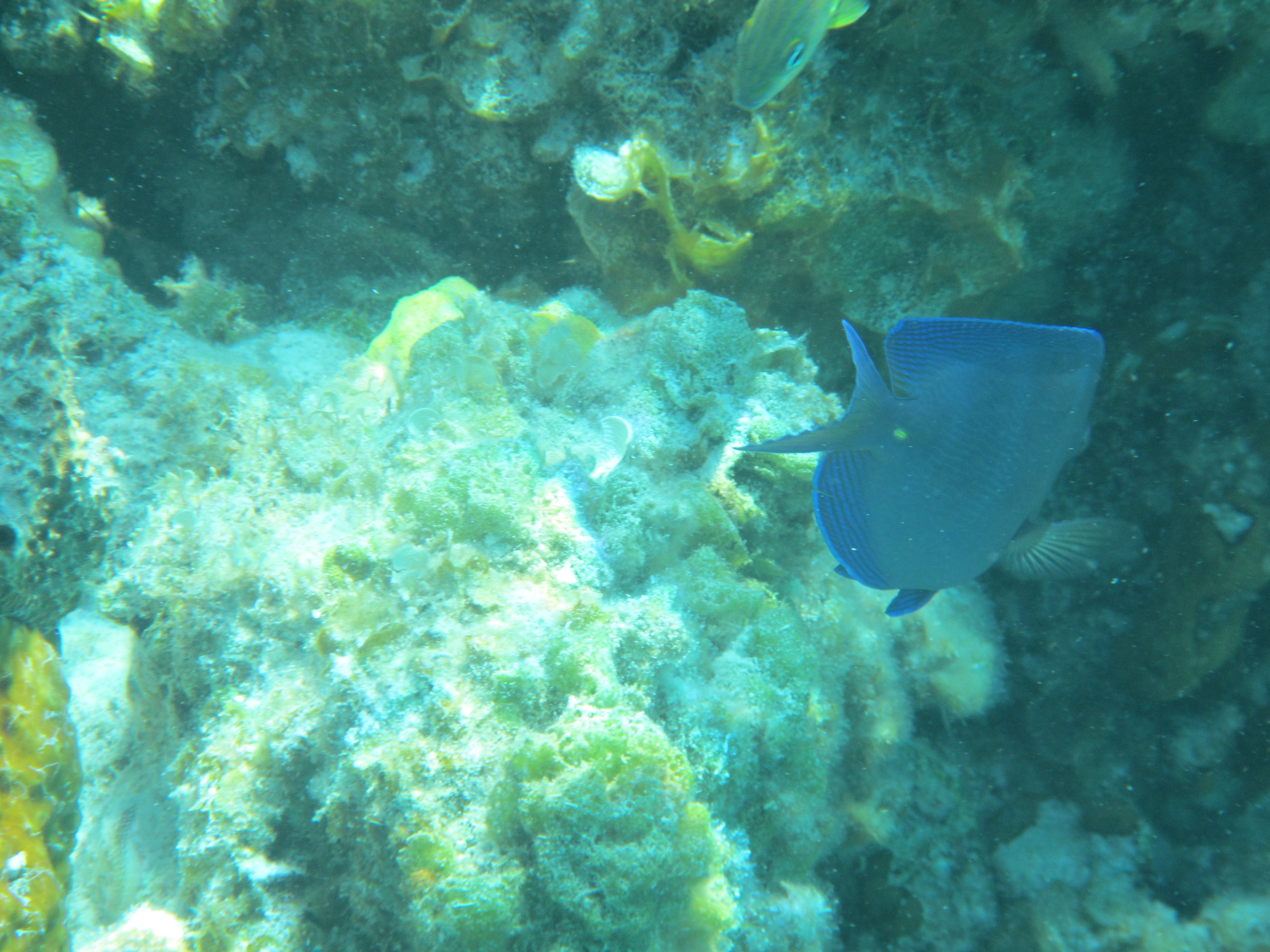
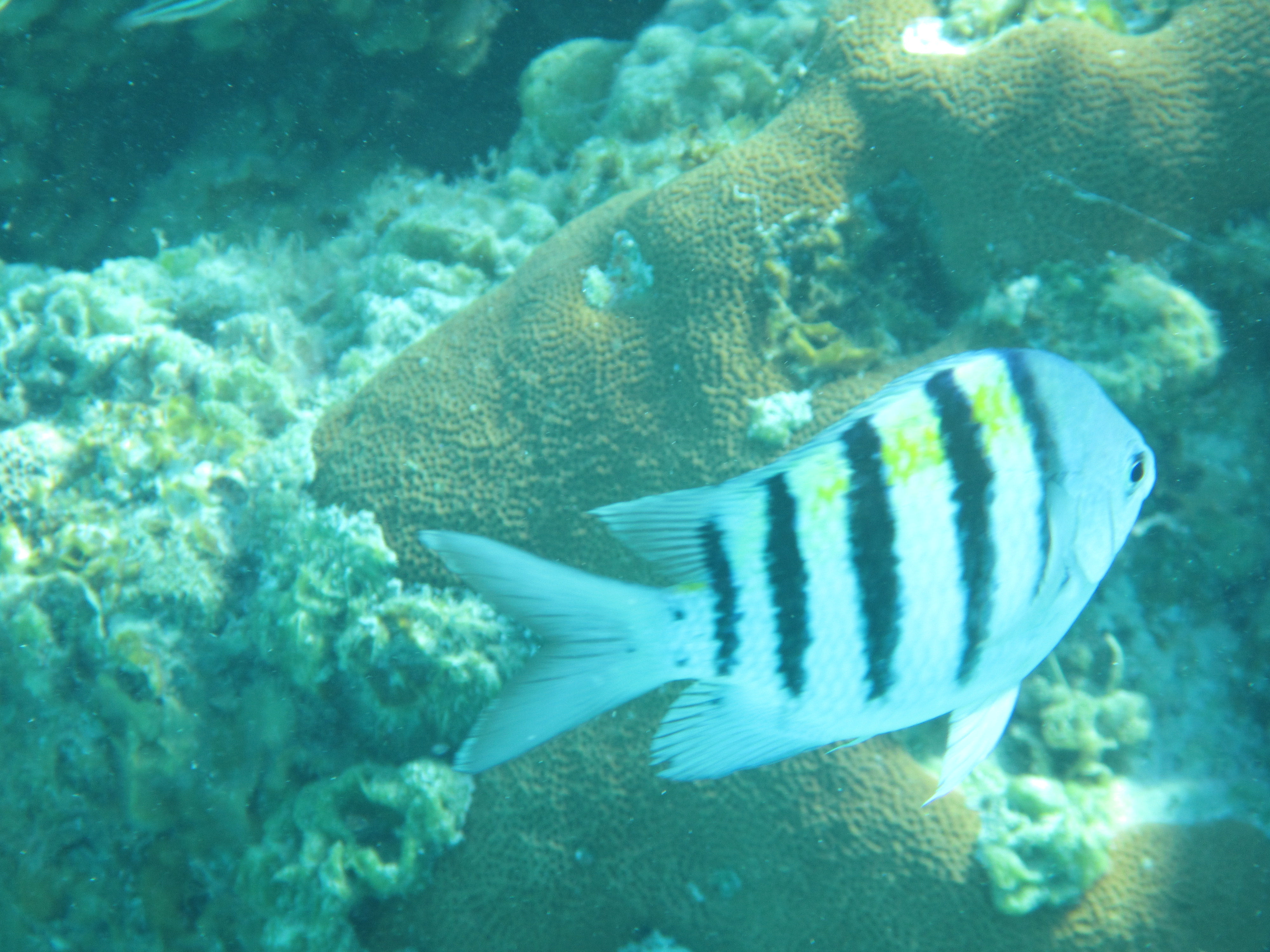
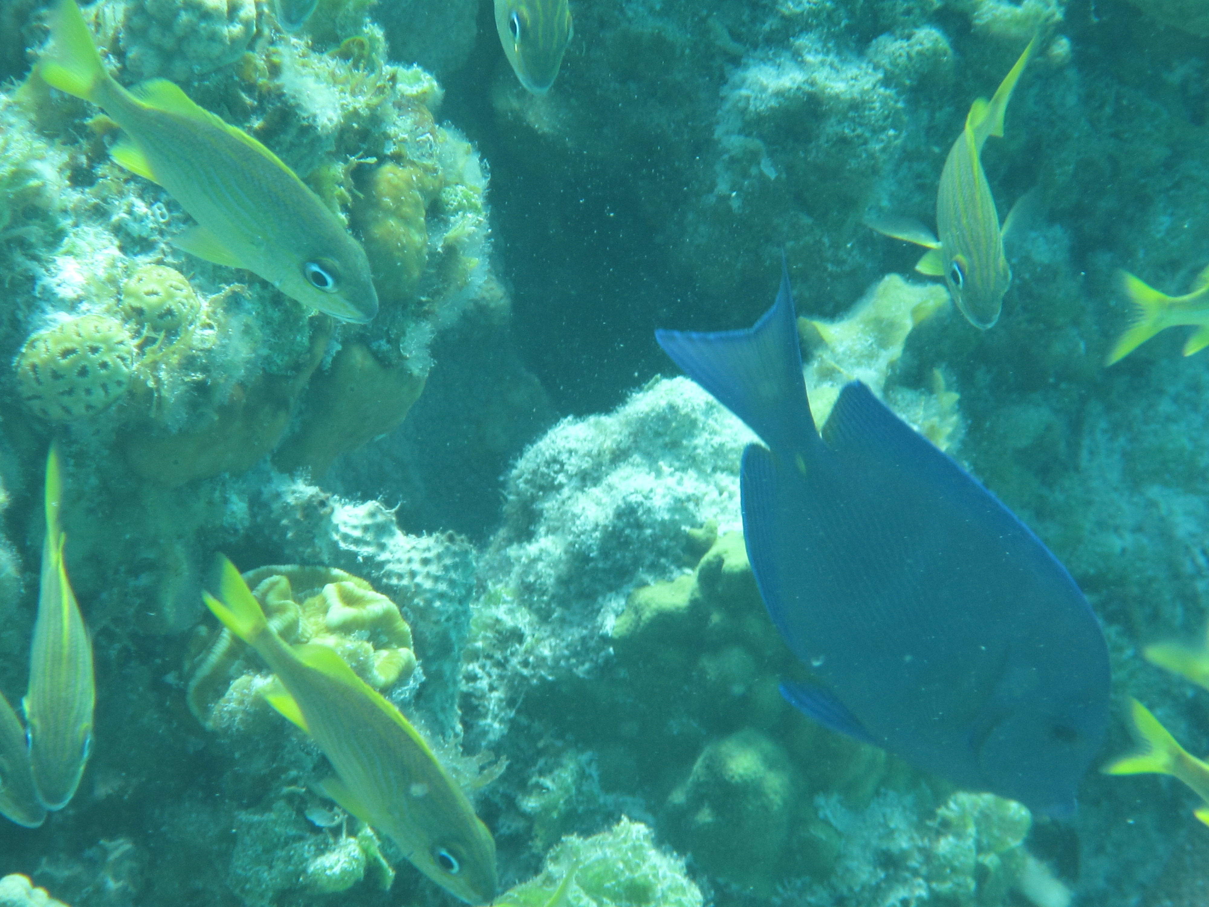
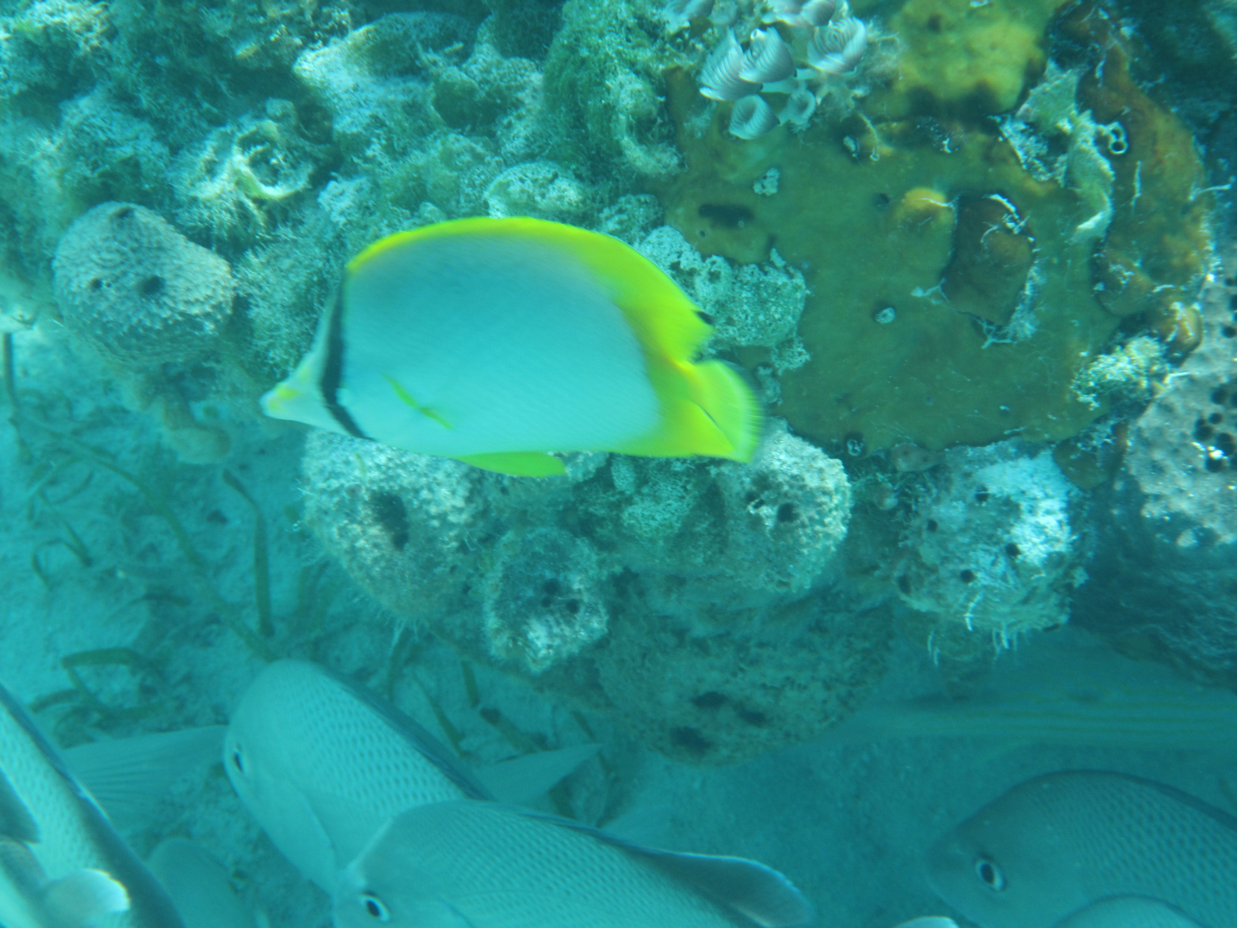
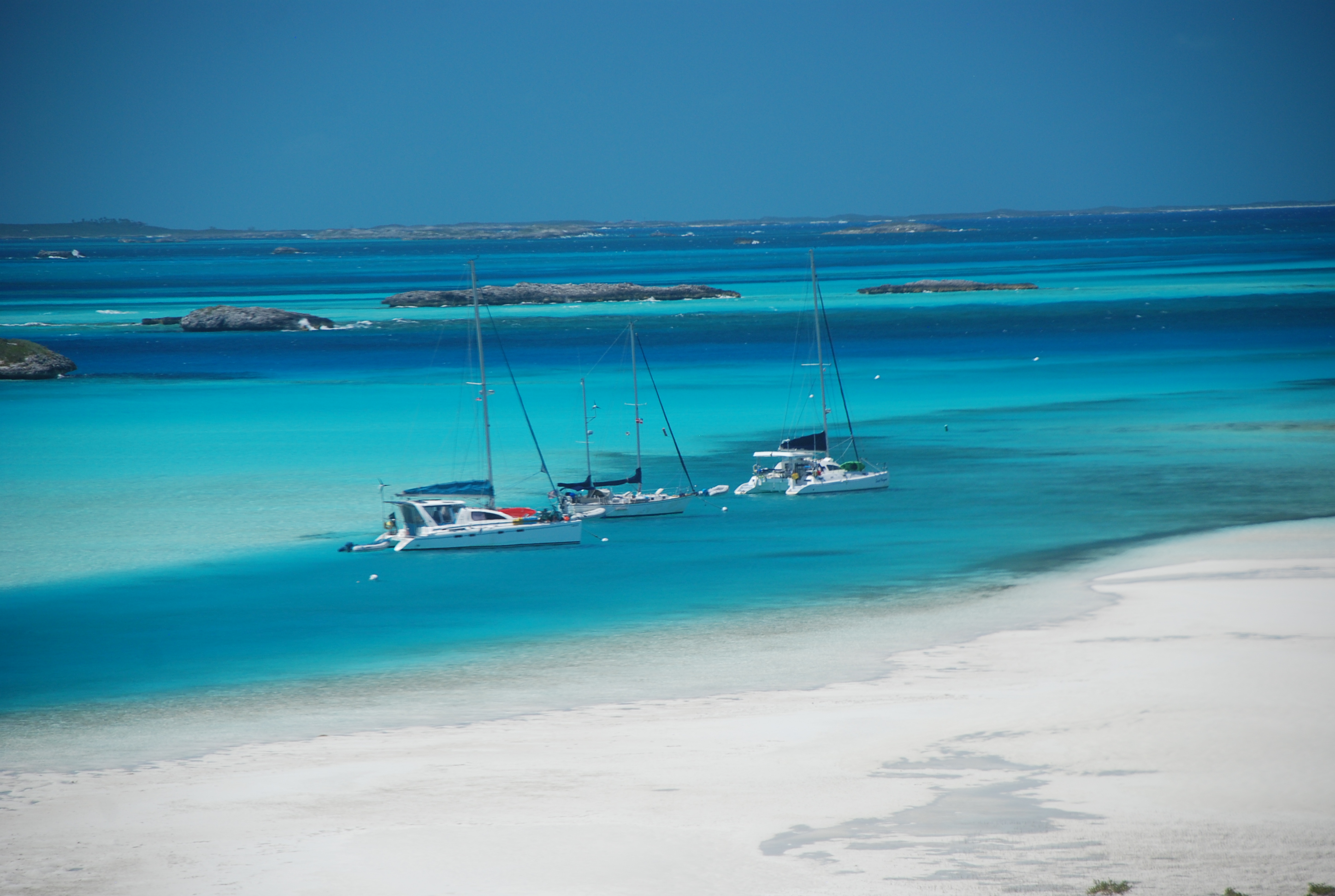
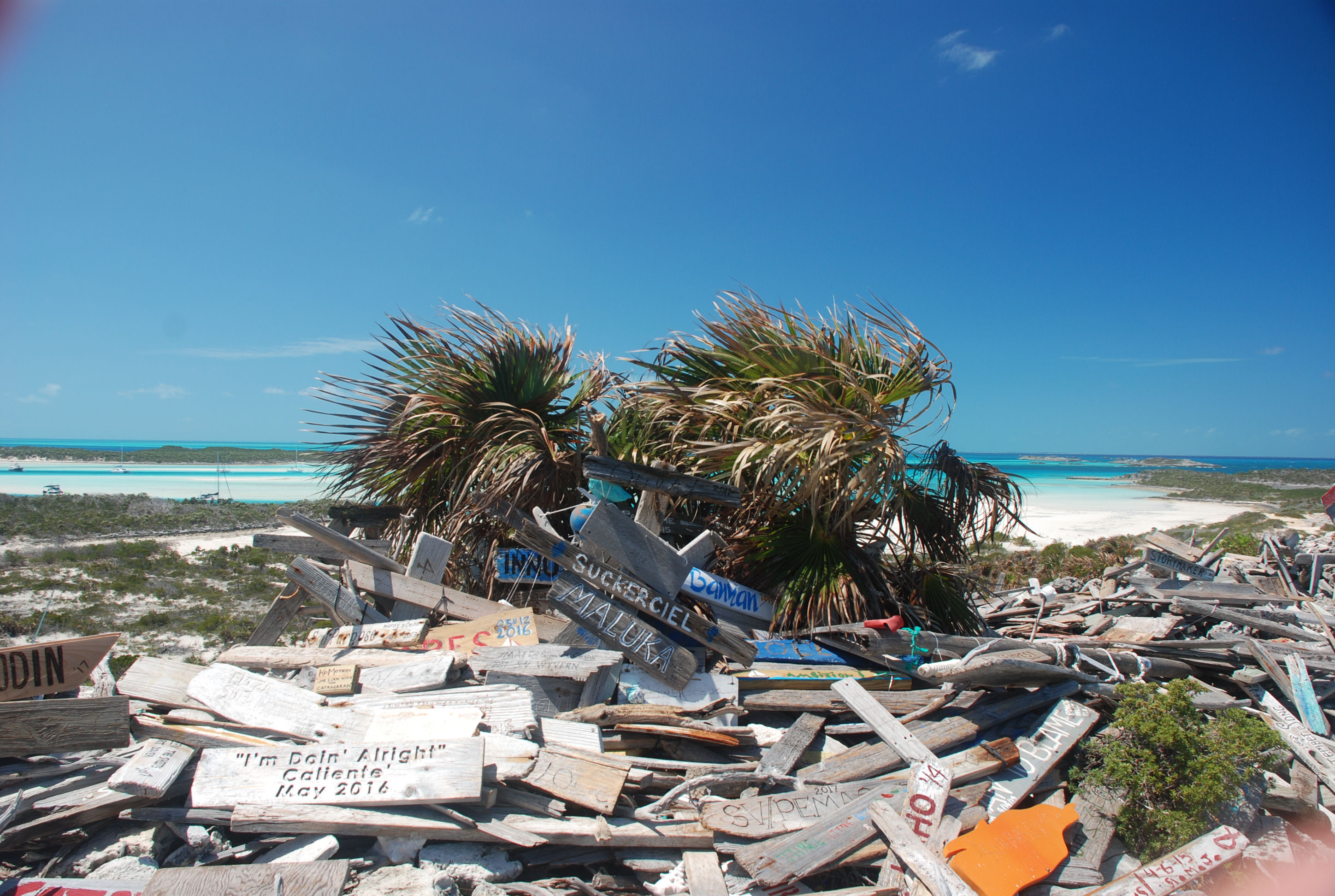
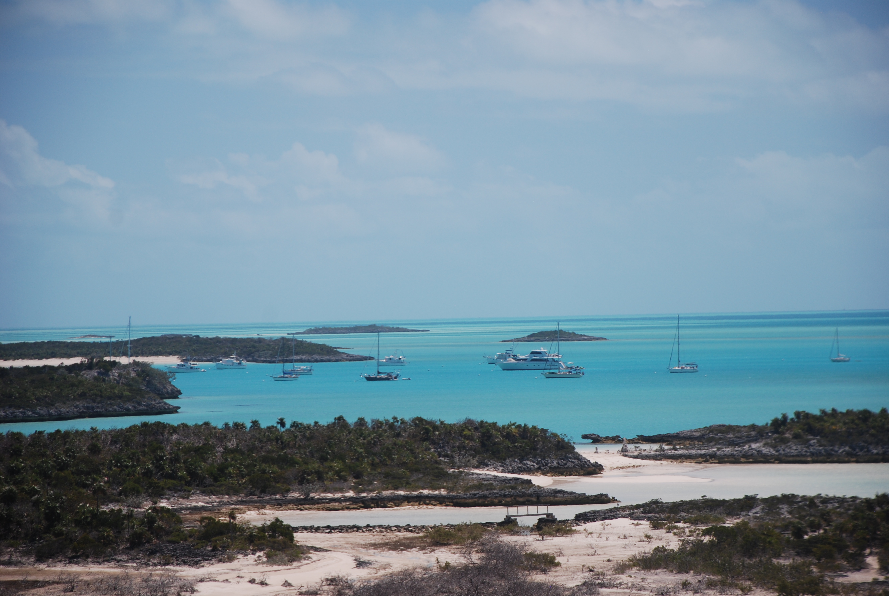
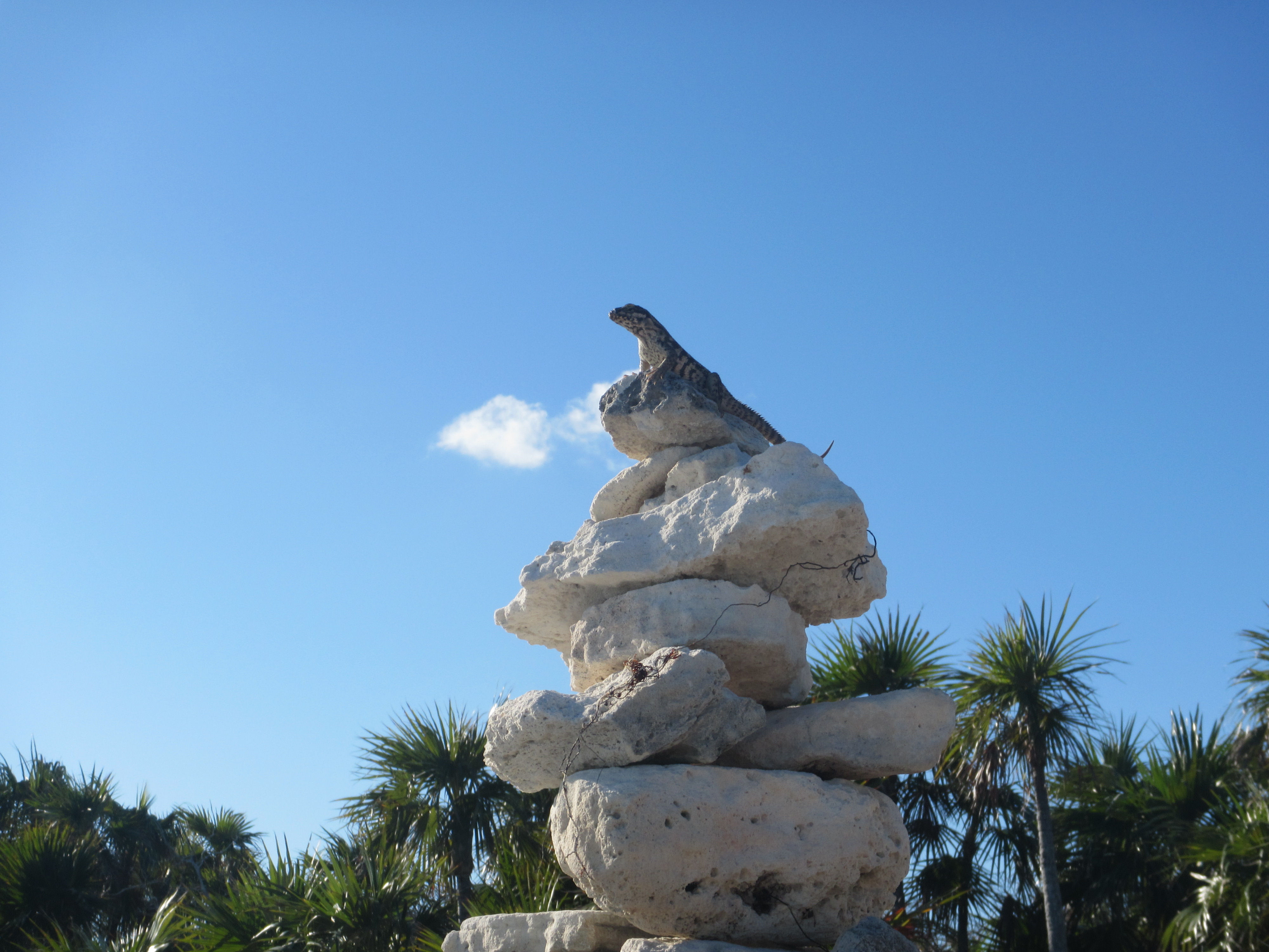
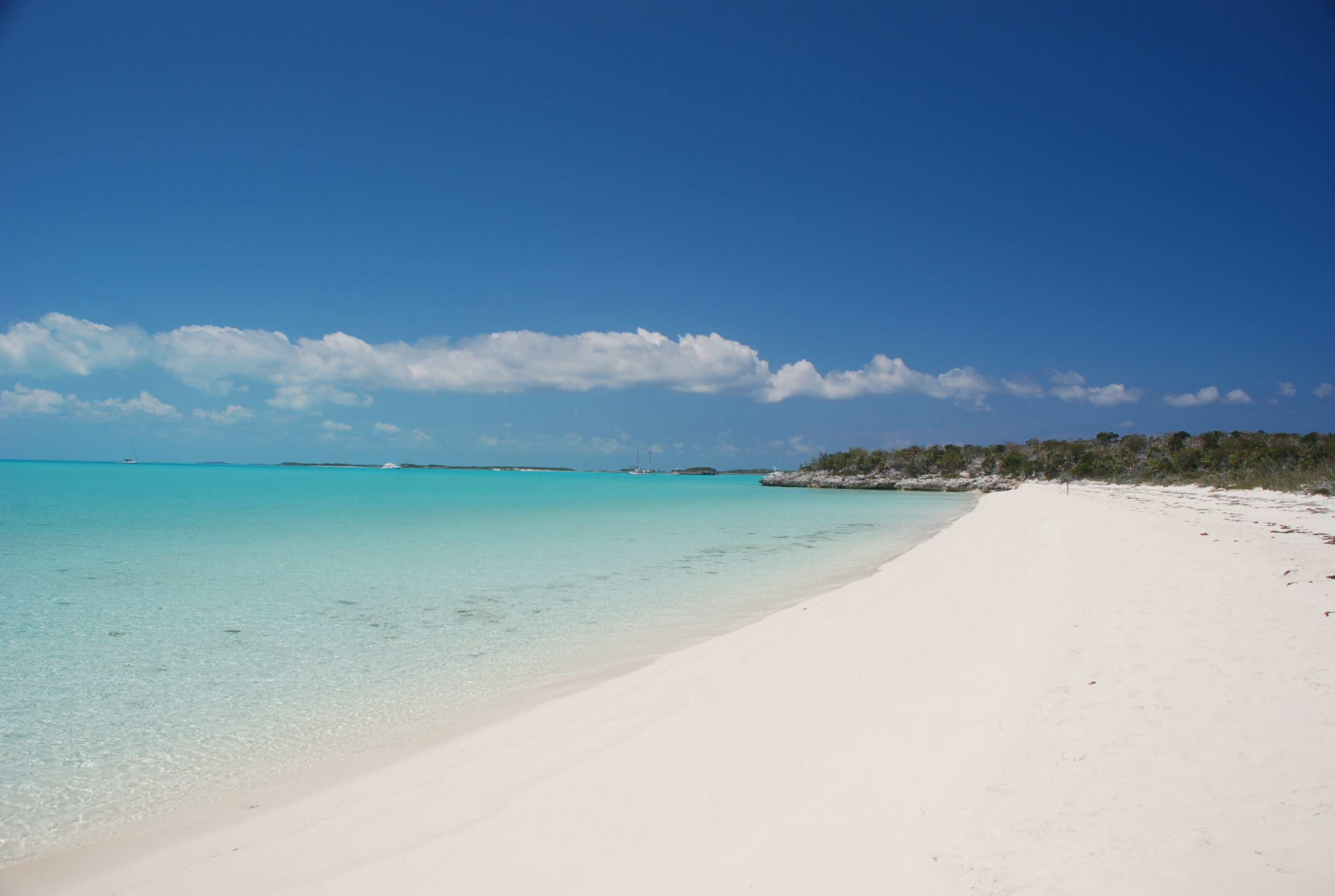
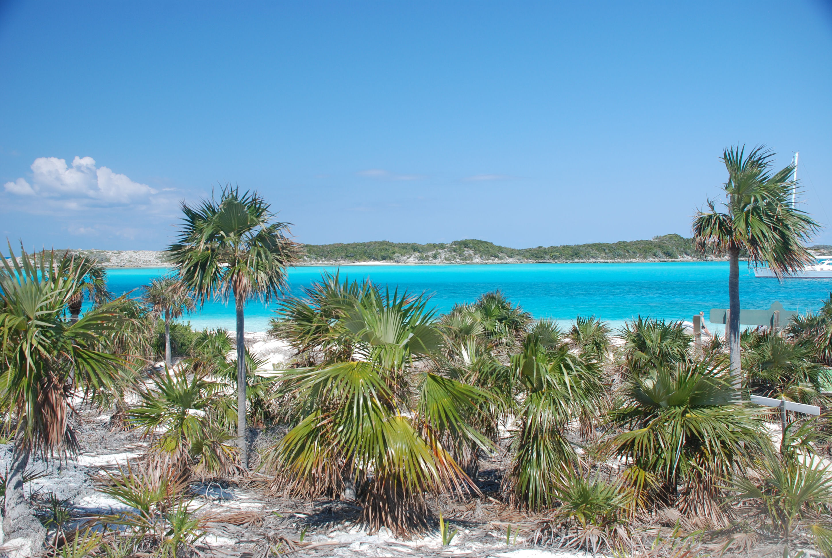
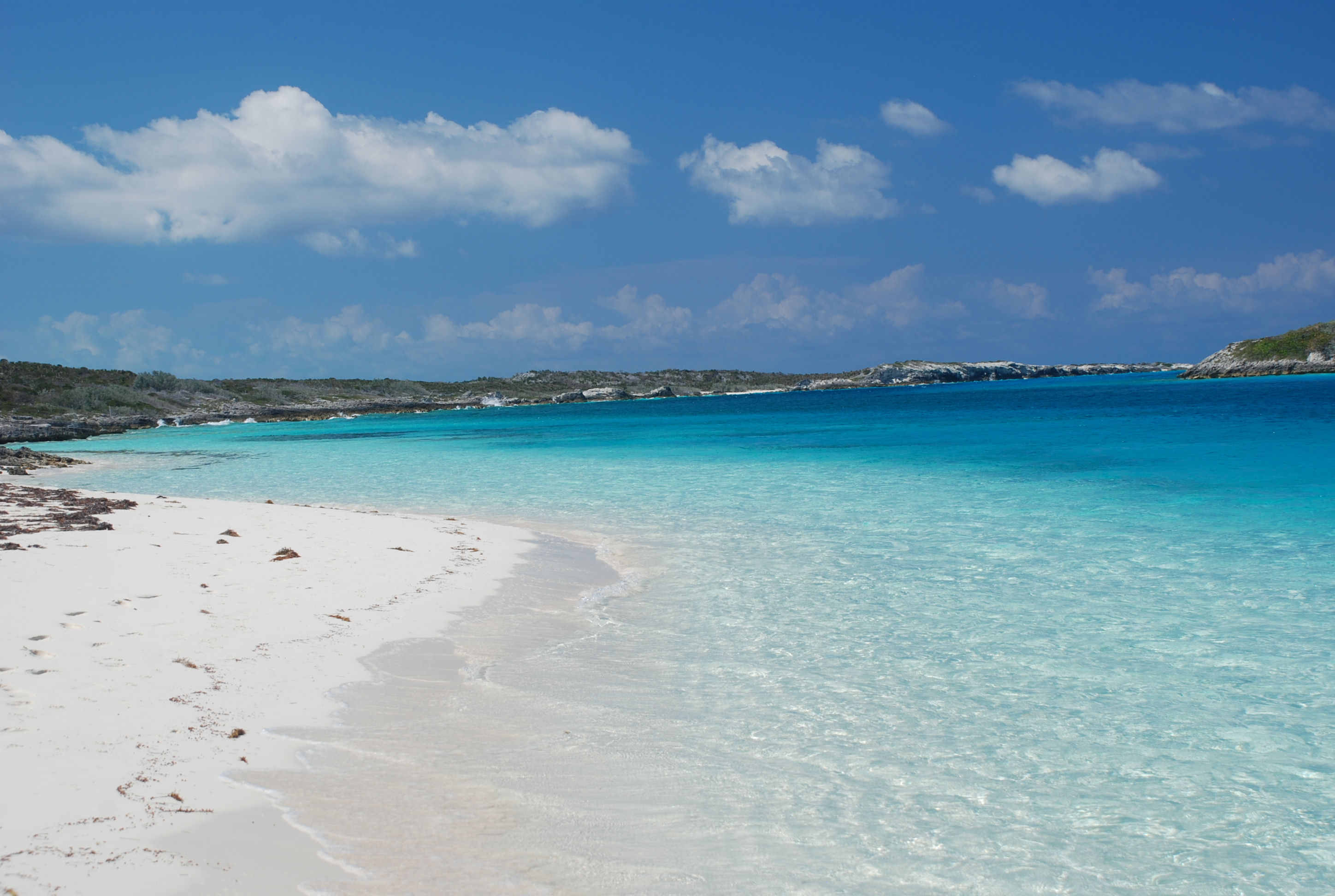
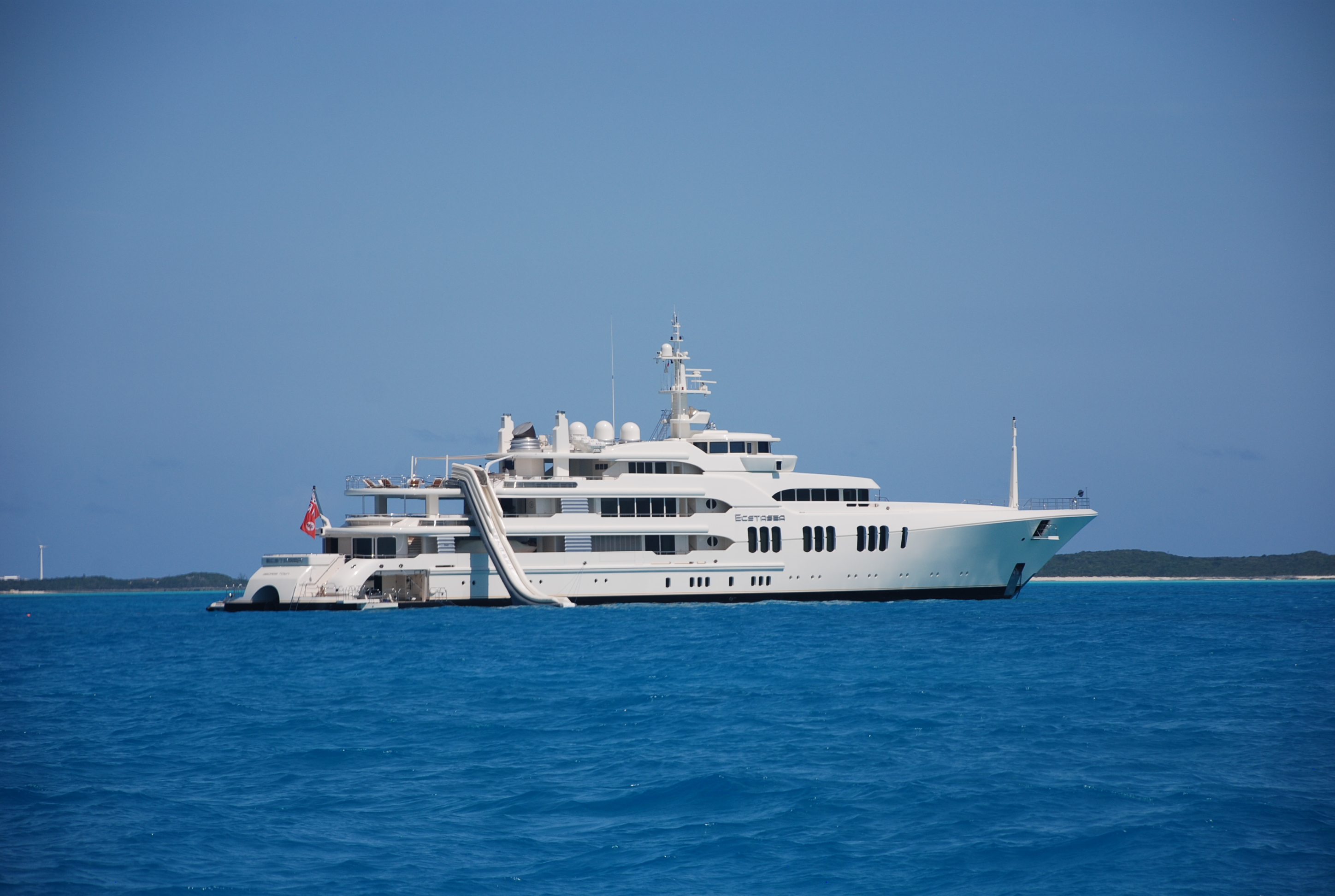
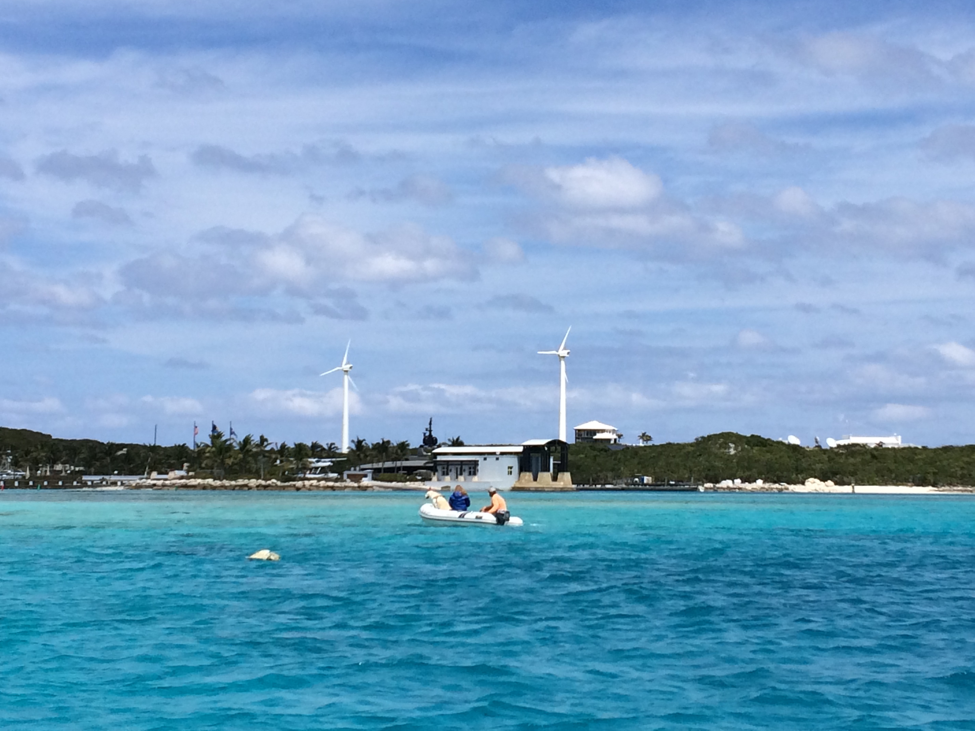
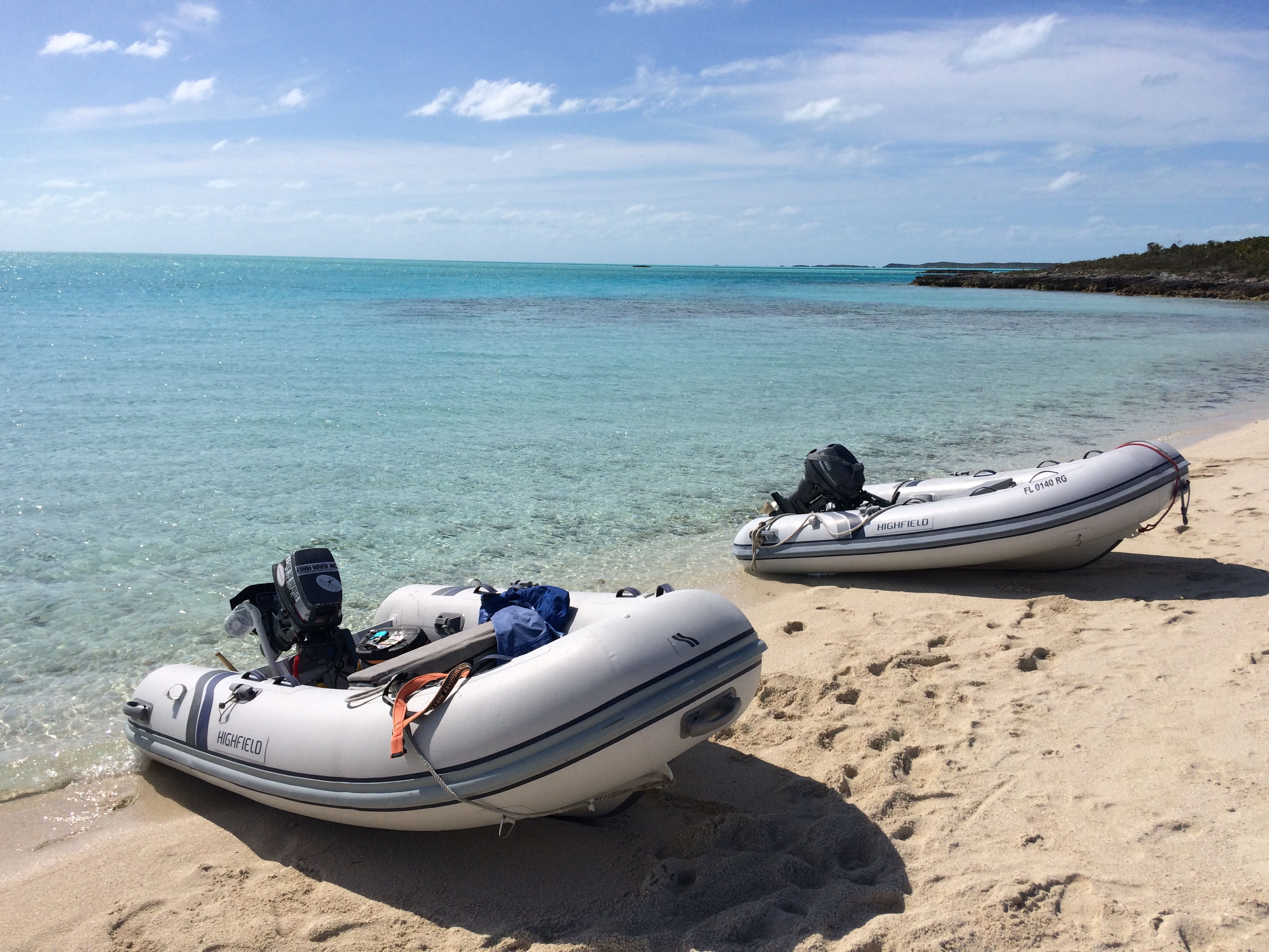
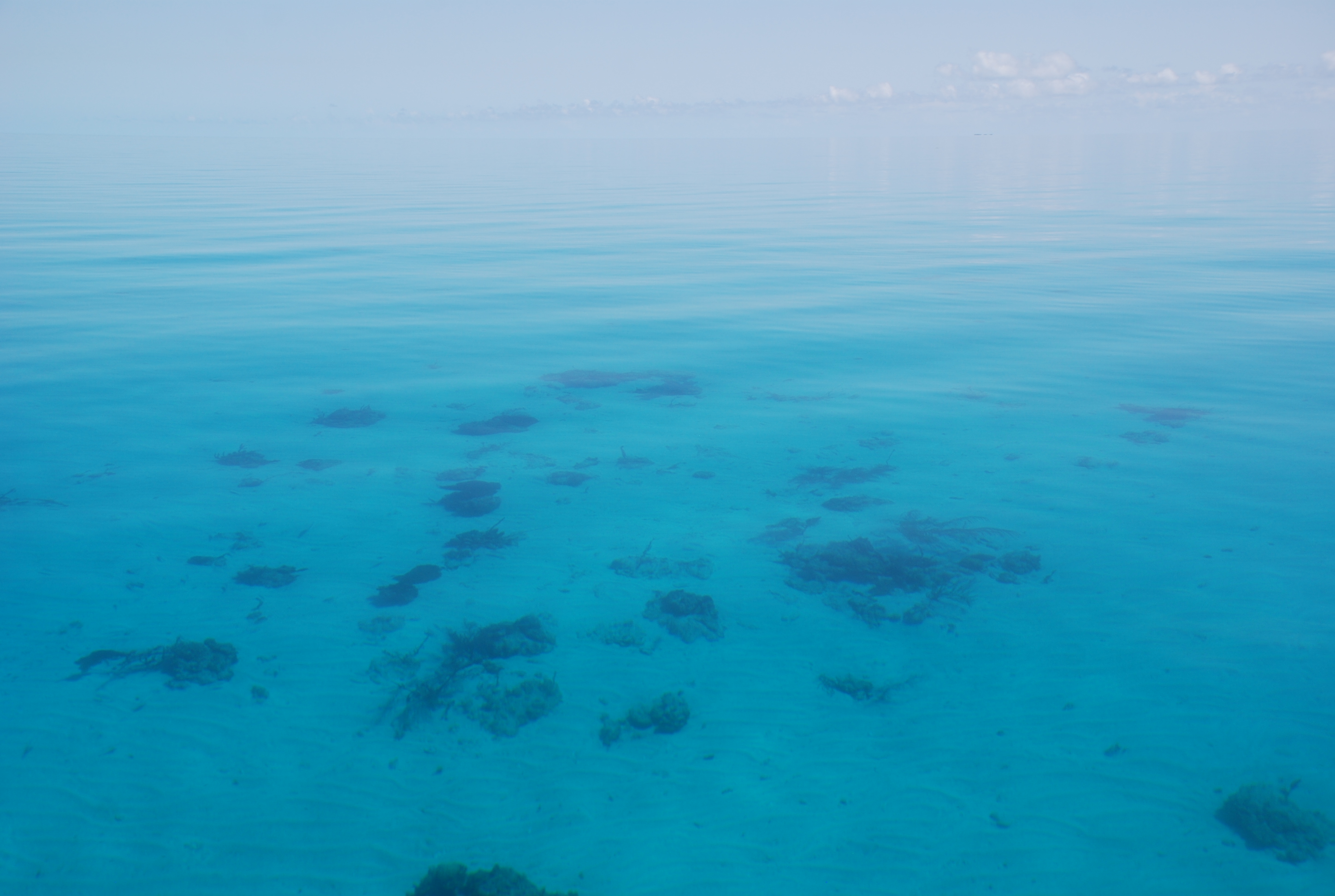
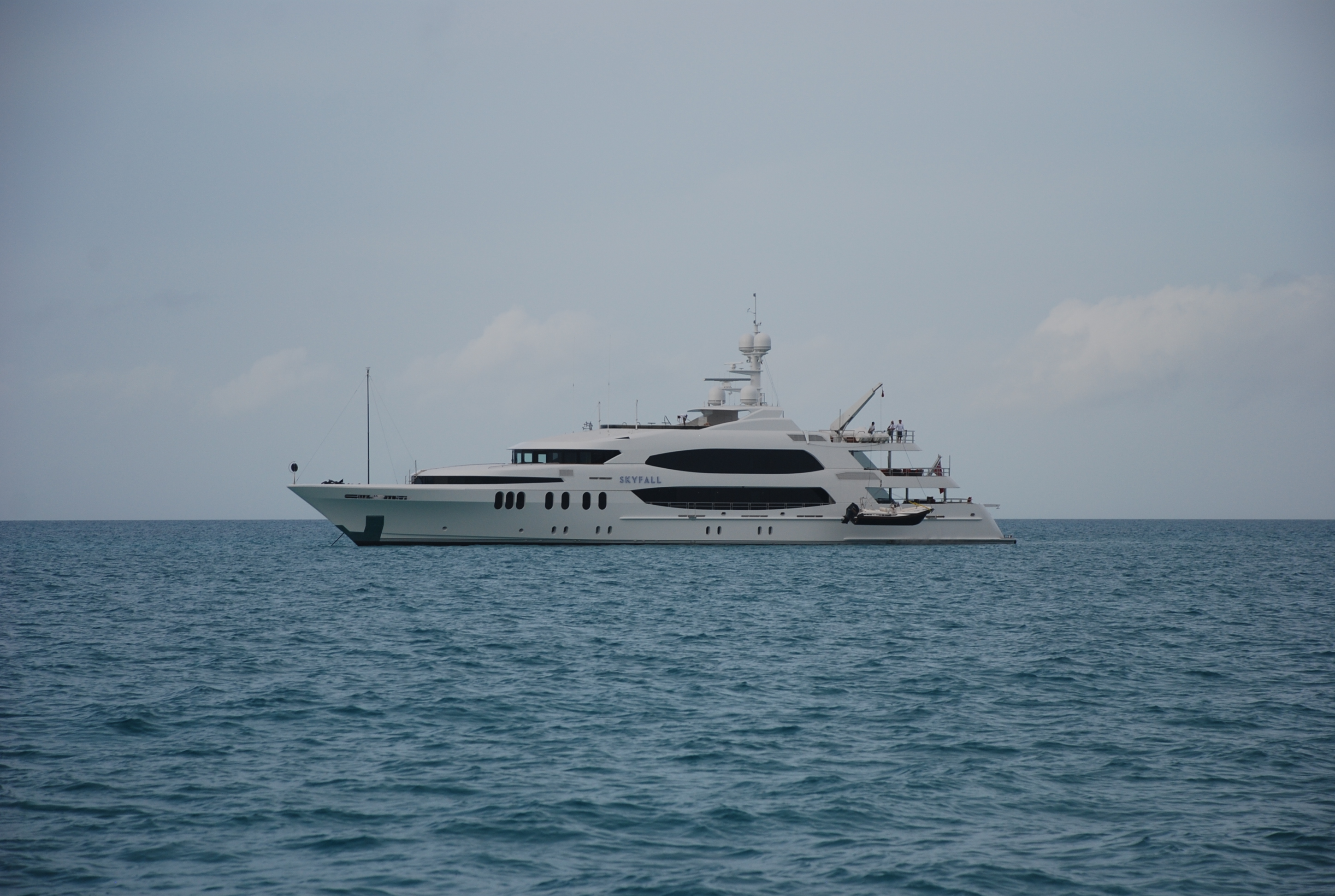
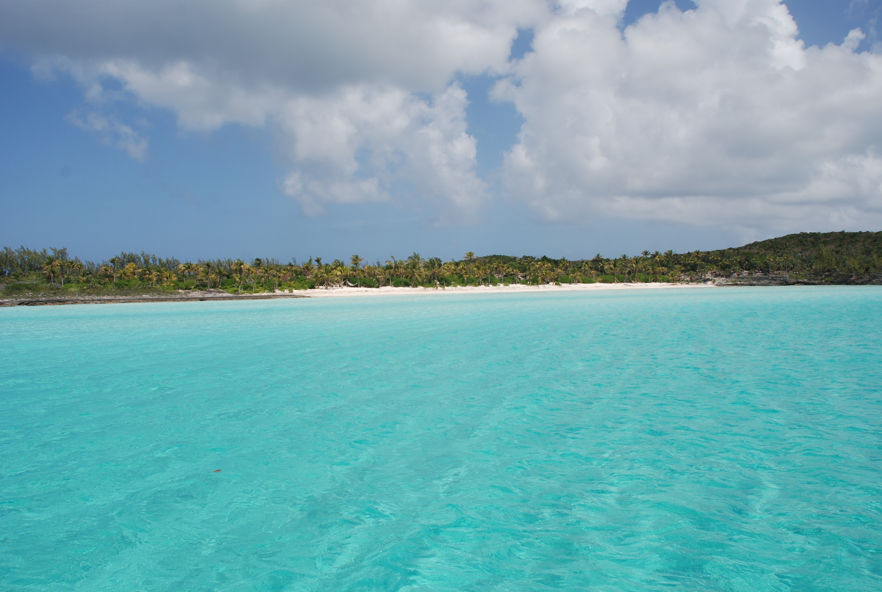
The winds died for a day, so on 4/1 we anchored off Staniel Cay Yacht Club and took Larry’s boat to the fuel dock. After fueling, we moved back to Sampson Cay, probably our favorite anchorage in the Exumas, and had the inside anchorage to ourselves, anchoring in position 24 12.558N, 076 28.527W. On the way down this place was packed with boats but this time we had only a few other boats come in and anchor outside of the area we like the best. We waited out high winds again for a few days, but we were able to dinghy into Pipe Creek and Over Yonder Cay and enjoy the stunning views in that area. We also enjoyed secluded reef snorkeling and secluded wallowing at several beaches and the sand flats behind the anchorage. These are the reasons we love the Exumas, unfortunately, it is very difficult to find any more. Too many people cruising the area and way too many mega-yachts.
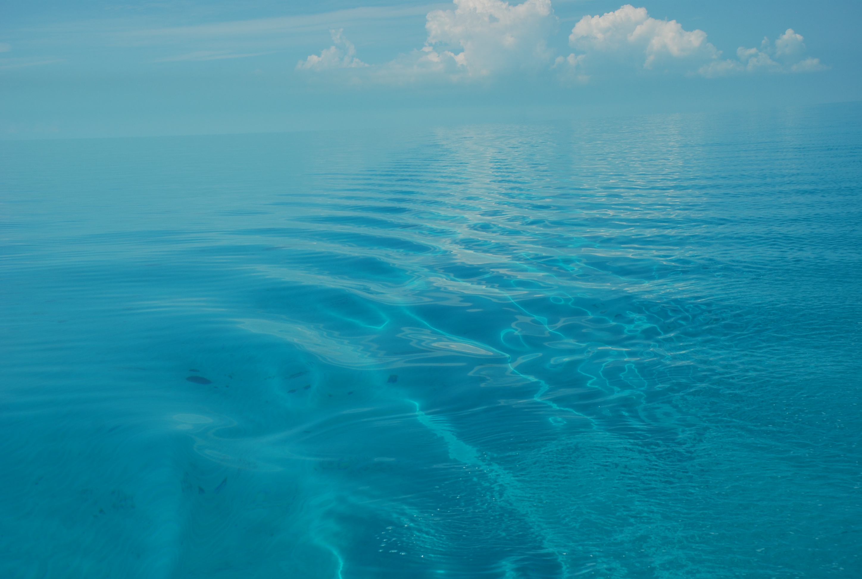
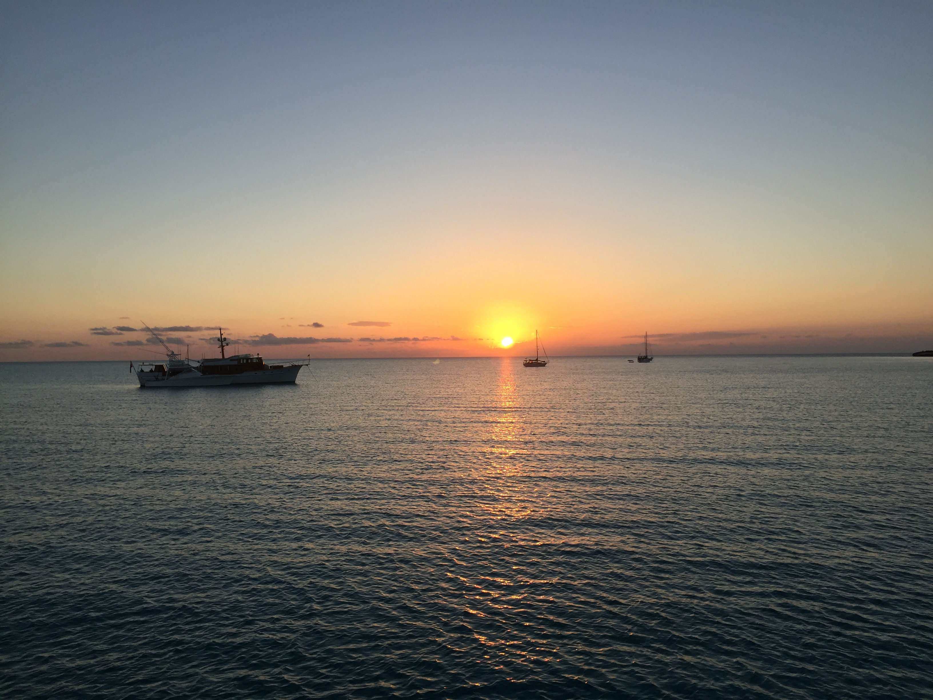
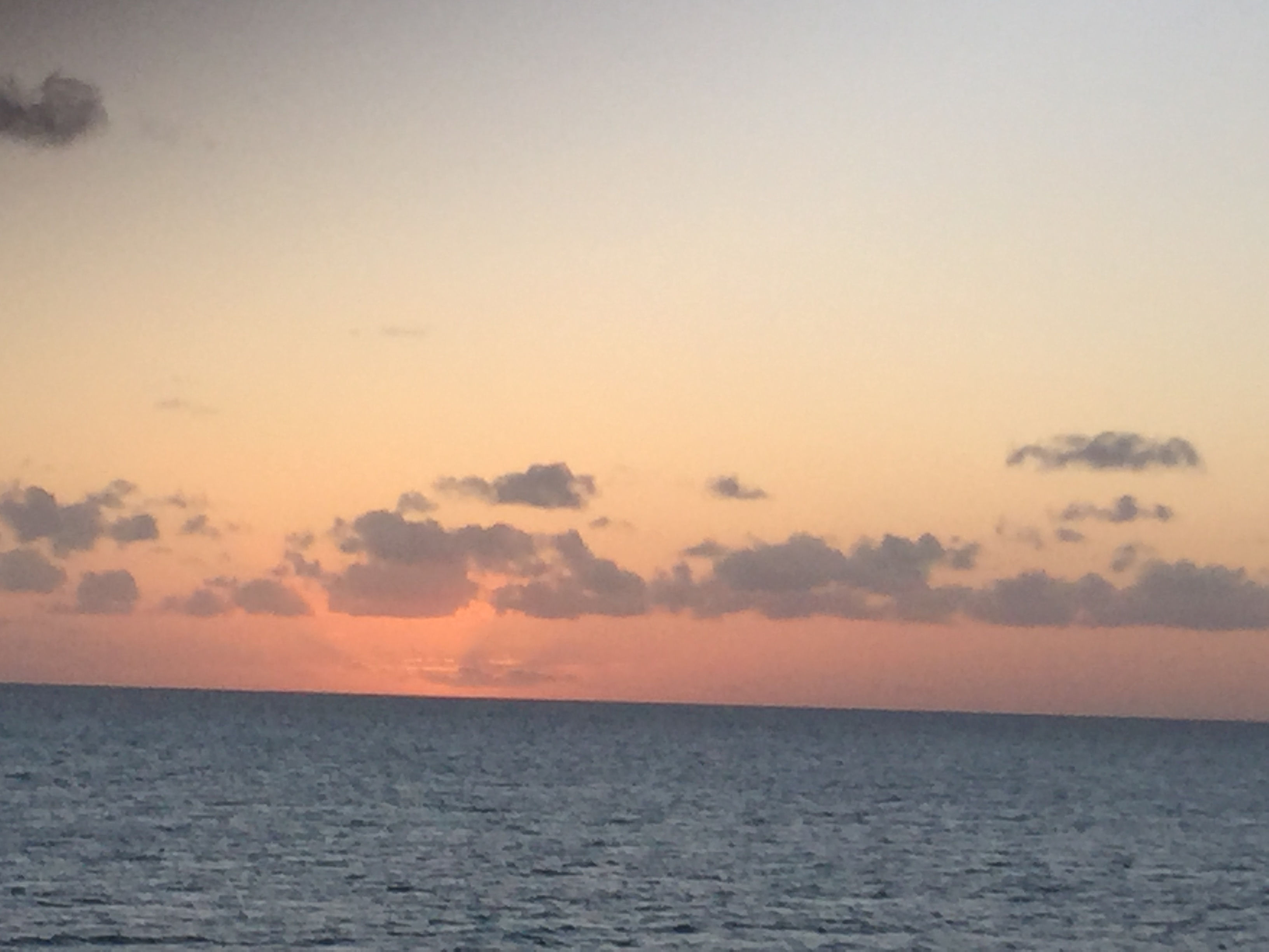
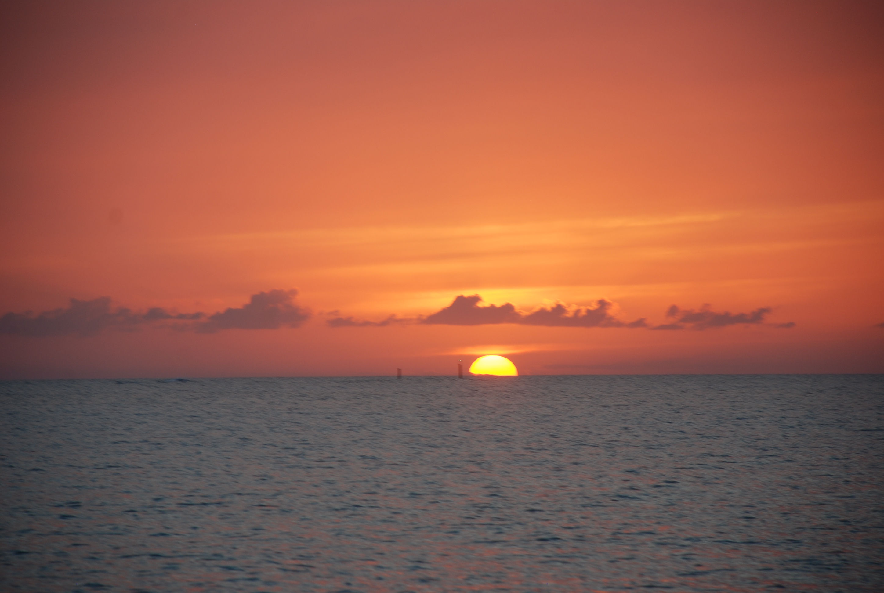
Having decided to make our way back home, we were looking for a suitable weather window. It looked like we had a decent 3 day window of east winds and waves, and weather we could sail and not get our asses kicked, so on 4/4 we moved up to Normans Cay to stage our crossing back to Bimini. It was a really windy day, but we were mostly in the lee of the weather and it wasn’t too bad. We anchored in position 24 36.181N, 076 49.203W. The next day we left and crossed the banks to New Providence Island (where Nassau is). Consistent with just about every other day, the forecasted winds and wave heights were not correct, and we took a beating in quartering waves. We had decided to try a new to us anchorage on the northwest corner of New Providence called Old Fort Bay. The 3 Active Captain reviews that we found suggested that it was better than West Bay which can have bad holding and a bad swell. The anchorage was really pretty. We found that a large portion of the area that is charted at 12 feet is actually less than 5, the first time we have found the Explorer charts to be incorrect in the Bahamas. The anchorage was subject to a bad swell, worse in some areas than others, and we found a spot that wasn’t too bad, until the tide shifted in the middle of the night and slammed us around all night. On the positive side….we did have a great sunset:
DSC_0086cmp
IMG_2935cmp

The next day we left, wishful that the forecast was more accurate, but to no avail the winds were higher and coming from the northeast instead of east, meaning beam seas…yuk. The first half of the trip to the Northwest Channel was really rough and uncomfortable, but the second half was pretty close to forecast. We traversed the channel with ease and went onto the banks to a place called Mackie Shoals…half way across the banks to Bimini. We arrived at Mackie Shoal about an hour after sunset and anchored in position 25 40.735N, 078 41.932W. This is in the middle of nowhere and totally exposed to the open water. We put the hook down to have dinner and to rest a few hours before we moved on. We were expecting 1 ½ foot waves and about an hour after we set the hook we had 3-4 footers slamming the bow of the boat up and down. We have had worse but it was still not fun. In spite of it all, we were exhausted from the trip and slept several hours in the slamming. We upped anchor at 3 AM and started toward Bimini…a 7 hour trip. Because the entrance to Bimini Sands marina has 4.5 feet of water at low tide, and we need at least 5 feet, we had to time it so we didn’t arrive before 7 AM and arrived before 1 PM. Just before first light, Sofia Jeanne clogged a fuel filter and the engine died. Matt replaced the fuel filter but had to prime the fuel system to get running again. To prime, he needed another hand to push the start button while he bled each injector on the engine. Since he was single handed, we all anchored in 4-5 foot seas and he brought the dinghy over to pick one of us up and use our generator (a whole other story) to start the engine. About an hour later we upped anchor and got back underway. It was the first time I have anchored in seas like that and it was crazy…the bow was rising and falling 5 feet at 3 second intervals…sometimes higher…and I thought the windlass was going to rip off the boat as the waves pulled the bow down into the water!!! We survived and managed to make it into Bimini Sands before noon. Once again, the forecast was way off, and thank goodness we had following seas or we would have received another major ass kicking.

One of the other issues we had was related to our electronics. Coming into New Providence, our wind instrumentation stopped working. I had complete redone the connections in Marathon FL months ago. On the trip from New Providence to Mackie Shoals, our GPS was dropping it’s location every 50 minutes or so. We would have to drop power from all of the electronics and restart to get them working again, only to have a repeat situation the entire trip. On the trip from Mackie Shoals to Bimini the GPS worked flawlessly, and now in Bimini the wind instrumentation is working fine too. We are thinking maybe a Bermuda Triangle thing????

Working south through the Exuma Cays

3/20/19
Emerald Bay Marina, Great Exuma, Bahamas
Position: 23 37.780N, 075 55.077W

Another “long time … no blog”, and I have no real excuse. We took the worst of the weather at Sampson Cay and on the 10th the wind died enough to jump to the next anchorage which was at Big Majors Spot, anchoring in position 24 11.261N, 076 27.482W. There is good protection from the east winds we were expecting and we wanted to take our traveling buddy Larry to Pig Beach there since he had never been. We fed the pigs table scraps and they were pretty aggressive!
IMG_2869cmp
IMG_0680cmp
IMG_2866cmp

The next day the wind died enough to dinghy over to Staniel Cay and get some gasoline, check out the small grocery stores and have lunch at the Staniel Cay Yacht Club. The Yacht club was not our first choice, but the other two options for lunch did not have any food left when we got there. After a few rum punches and lunch, we headed back to the boats. We did a few sunset happy hours on Larry’s fly bridge and also did a “drink and drift” one evening. “Drink and drift” is where we tie our dinghies together, drink and drift as we watch the sunset.
The Drink and Drift:
IMG_0681cmp
A view from Staniel Cay:
IMG_2875cmp
Typical megayacht:
IMG_2876cmp

On the 12th we moved on down the cays to Great Guana Cay and the Blackpoint Settlement, anchoring in position 24 06.237N, 076 24.198W. Blackpoint is one of our favorite stops and we took advantage of the protection from north, east and south winds that built up to over 20 knots while we were there. We went to Scorpio’s happy hour 2 days while there and really enjoyed the rum punch special! We ate at Lorraine’s Café 2 nights and were disappointed both times, which surprised us. We usually get good food there. We also went to Deshamons and got pizza one night, which was really good. It was really windy and we didn’t do much else.

We were trying to get down to Emerald Bay Marina on Great Exuma around the 17th because our good friends Bill and Dondi from Southport had booked a room in a resort there so we could all hang out. They were only staying a few days and we were trying to maximize the number of days we could hang together. The weather was not really cooperating, but we built a strategy to move in that direction along the lee side of the cays until we had good enough weather to make an ocean run in Exuma Sound, which was the final leg. On the 15th we moved about 7 miles down Great Guana Cay to an a beautiful secluded beach at a place called White Point, anchoring in position 24 02388N, 076 22.574W. We enjoyed some wallowing on the beach there and all got together for drinks on Larry’s fly bridge. This is the best part of the Exumas…beautiful water, beautiful beaches, and the possibility of seclusion.
IMG_2880cmp

The next day we moved 12.65 miles down and anchored off of Cave Cay in position 23 54.421N, 076 16.646W. We spent the afternoon exploring by dinghy. We saw this grotto on Cave Cay:
IMG_2888cmp
Then road down to a group of Cays owned by the magician David Copperfield. The scenery was spectacular!
IMG_2901cmp
IMG_2913cmp
Including another cave:
IMG_2896cmp
We snorkeled a spot called “the piano”, where Copperfield sunk a baby grand piano along with a mermaid sculpture:
We then returned to the anchorage and when the tide shifted in the middle of the night, it turned the boat beam to the wind, causing a really bad rolling condition. We didn’t get much sleep, and I actually started to get seasick…my first time ever. The next day we were planning to run Exuma Sound to Emerald Bay. Based on the forecast, it was the best day we had to make the run…seas 2 foot falling to around 1, with winds around 10 knots out of the east. On top of being slightly sea sick, I had a very anxious feeling about making the trip, but we were trying to get to our friends ASAP and all agreed to push on. We went out Cave Cay Cut into the sound and were greeted by 6+ foot seas in the cut, slamming us and showering us with spray. Knowing the cut would be rough we pushed through until we got into the sound. We had 15 knot winds on the nose and 3-5 footers. Every part of me was saying “you need to turn around and wait another day”, but we didn’t want to mess up plans for the other 2 boats so we kept going. Needless to say…another 6 hour ass kicking, and another inaccurate forecast. And another confirmation of the adage “don’t travel based on a schedule”. The marina was nice and calm when we finally got past their break wall, and our friends were there to greet us as we arrived, which was very cool. Since here, we have been hanging with our friends at the nice pool at their resort, had a party on Larry’s fly bridge, and had dinner and played cards 2 nights in their room. It has been a lot of fun and we are honored that they booked their vacation time to be with us. We have never stayed at this marina before. They have nice floating docks and a nice club house for people to hang out. The marina pool is closed and you have to pay 25$ at Bill and Dondi’s resort if you want to spend the day at their pool, or you can pay to have a day pass at neighboring Sandals resort. The showers at the marina are pretty run down and not very clean. They regularly don’t have toilet paper, soap and paper towels in the restrooms. There is a swell with an east wind or northeast wind that causes you to roll at the slip. On top of that, the no-see-ums have been relentless. We haven’t had more than a couple hours sleep every night since we have been here. I am not sure I would stay here again.

We are now facing more high winds in a few days, after which we have maybe 2 days of calmer winds followed by what looks like another week of 20+ knot east winds, and are trying to decide which way to go. We want to go to Long Island, Cat Island, then Eluethera, then the Abacos, then back to the States. Not sure that is possible in the time we have left and the forecast we are looking at right now. We will keep you posted.

Another ass kicking…but we made it to the Exumas!

3/7/19
Sampson Cay, Exumas, Bahamas
Position: 24 12.424N, 076 28.562W
Posted by Bill

While in Palm Cay Marina, the forecast showed 2 days of 10-15 knots of wind and seas of 1-2 feet both out of the SE, then a calm day, then 4 days of 20 knot plus winds out of the north as a front passed through. Overnight in Palm Cay, the winds picked up over 15 and the sea state was looking nasty. Our choices…leave now, make it to the Exumas and find a place to weather north winds, which is not easy in the Exumas, or stay in expensive Palm Cay Marina for a week. We opted to leave. One of the bad things about Palm Cay is that it is a very tight marina with not much room to maneuver a boat like ours. We had to back out of our slip with winds on our stern quarter with barely enough room to get the boat out of the slip and turned around to get out of the marina. I was concerned that as we backed out the wind would grab us before we could get the bow turned into it, pinning us down in the fairway, and that is exactly what happened. Fortunately, the boats on our port side were resting inside the outer pilings, and unfortunately, the boat on our starboard was sticking out into the fairway about 3 feet. I couldn’t clear the boat on the starboard side and we ended up pinned to the pilings of the slips that were on the port side. Thankfully, Tricia was able to push off the bow with a boat hook, and I got the stern off the piling by me just enough to clear the boat that was sticking out, but it was not fun! We motored out into the Banks heading SE, directly into 3-4 foot waves, with occasional 2 footers, all hitting us every 2 seconds. The 2 second wave period was the bitch of it all. We were bashing directly into it. We would get our speed up to 6 MPH briefly and then a series of 3 waves would bash into the bow, throwing it up and slamming it down, slowing us to 3 MPH. Winds were primarily 15-20. This turned a normally 6 hour trip into almost 9 hours of getting slammed. It was absolutely miserable. We anchored at Normans Island in position: 24 36.206N, 076 49.243W. We had cocktails and watched the sunset on the beach.

The next day we left and tried to get into the Warderick Wells north mooring field. This is a great place to sit out a frontal passage, but it was full with a waiting list. We executed the backup plan and went to Cambridge Cay, one of our favorite places. The moorings were all taken and the anchorage was nearly full, but we were able to find a place to drop the hook…position: 24 18.254N, 076 32.444W. Cambridge is in the Exuma Land and Sea Park which is a nature preserve. You can’t take anything (like shelling or fishing) and you can’t leave anything (like trash). It is absolutely beautiful. The weather calmed down and we enjoyed a couple of days there, snorkeling the Aquarium…a really cool reef that looks just like an aquarium (think like Columbus Zoo aquarium exhibit), a sunken plane, and a couple of caves in the Rocky Dundas. The day after we arrived, several people left and all 3 of us were able to get mooring balls, so we decided to weather the first couple of days of the frontal passage at Cambridge. We had decent protection from the winds as they clocked from north to northeast, but there is a strong current that runs SE to NW and put our boat sideways to the wind and waves for a good portion of the days and nights, making us roll side to side.

The winds died a bit on 3/7 and we decided to make a run to Sampson Cay, our absolute favorite anchorage in the Exumas. There is usually no one there, it is very well protected from all winds except west, there are great beaches within a short ride, and if you really need fuel or groceries you can take a long dinghy ride to Staniel Cay. We arrived just before noon and anchored in position: 24 12.424N, 076 28.562W. We were shocked to find the anchorage stacked full of boats! Apparently, our secret anchorage has been discovered…that sucks! I think part of it is that there are a lot more people cruising the Exumas. Normans Island was crowded, Cambridge was very crowded, Warderick Wells is croweded, and we are hearing that Big Majors/Pig Beach is packed full of boats as well as Georgetown. We have noticed this as a trend each year we travel here, with more people every year, and more mega-yachts every year. The mega-yachts are taking over the Exumas and making them a playground for all of their toys. In my opinion, this is ruining the Exumas for the normal cruiser and it is sad to see.

We played bocci ball on the beach in the salt flats of Sampson and had happy hour on Sofia Jeanne and have a very comfortable and protected position for the strong east winds we are expecting for the next 3 days. Then we are expecting a day with winds around 10 knots, immediately followed by several days of 20-25 knot winds. We are going to have to stay hunkered down or travel short distances in protected areas for the duration.

Some pics…..
We had these turtles visit us every day at Cambridge Cay:
DSC_0026cmp
DSC_0029cmp

One of the views from our mooring in Cambridge Cay:
DSC_0035cmp

Sights traveling around Compass Cay on the way to Sampson. The water colors are amazing and the pictures can’t do it justice:
DSC_0043cmp
DSC_0039cmp

We are anchored in front of this house on Sampson Cay, and another view of some of the boats here:
DSC_0073cmp
DSC_0079cmp

Back to Cambridge Cay and on to Big Majors Spot

3/29/17
Big Majors Spot, Exumas, Bahamas
Position: 24 11.143N, 076 27.549W
Posted by Bill

Since we only stayed at Cambridge Cay one day and lucked out getting a mooring in Warderick Wells for the bad winds, we decided to go back to Cambridge for some snorkeling. One note about the weather we waited out. It turned out that it was a serious low that was being watched for tropical storm/hurricane possibilities. It was nasty winds over 35 knots for several days. Glad we were in a protected area.

There were 4 areas around Cambridge that we wanted to go see: a snorkeling spot called the Sea Aquarium, a plane wreck to dive, underwater caves at the Rocky Dundas, and a swimming hole called the Bubble Bath. We picked up the same mooring that we had the last time we were here, arriving on 3/27. The next day we hit the Sea Aquarium. It was appropriately named as it was like snorkeling in a large aquarium. More pictures courtesy Sofia Jeanne:
IMG_5803cmp
IMG_5804cmp
IMG_5808cmp
IMG_5815cmp
IMG_5816cmp
IMG_5818cmp
It was great snorkeling, until the hordes of tour boats arrived, dumping boat loads of adults and kids who did not know how to snorkel. They were splashing all around scaring the fish (who would come right up to you if you just floated there), and standing on the coral (which kills it). We ended up leaving a bit sooner than we wanted and went over to the plane wreck:
IMG_5826cmp
IMG_5830cmp
We tried to go to the caves, but the water was too rough to get close to them, so we settled for some wallowing at a deserted beach.

We left the next day and stopped at the Bubble Baths on Compass Cay. We almost missed it because we could not get the anchor to set properly. After the 3rd try we had it good enough for a couple of hours. The Bubble Bath is a tidal pool that is fed by the ocean at mid to high tide. The water splashes over the rocks and creates a frothy surface on the water. It was very cool:
IMG_5900cmp
Tricia and I enjoying the bath:
IMG_5903cmp
IMG_5912cmp

From there we headed over to Big Majors Spot. We needed to get some fuel and dispose of trash before the next leg of our trip. Big Majors is a dinghy ride to Staniel Cay. Sofia Jeanne stopped at Staniel and topped up on fuel and water and then we anchored at Big Majors. Big Majors is the home of Pig Beach and although we didn’t stop at the beach this time, Shirley got some pics:
IMG_5938cmp
IMG_5945cmp

Staniel is a hot spot for big yachts. Many anchor at Big Majors. Most people want to eat at Staniel Cay Yacht Club, so the place is usually full of tourists and big yacht people. It creates a vibe that is not consistent with the Exumas, unfortunately, many are arrogant and full of themselves. We didn’t come to the Bahamas to hang with those folks, so this is not one of our favorite places. They also launch their wave runners and power boats and buzz through the anchorage at full speed, rocking and rolling everyone…not cool. They do clean fish right outside the yacht club and there are always a lot of sharks. People were swimming with them…idiots!!!
IMG_5957cmp
I usually refer to this type of behavior as “the thinning of the herd”.

Snorkeling Warderick Wells and a trip to Boo Boo Hill

3/26/17
Warderick Wells Cay, Exumas, Bahamas
Posted by Bill

In spite of the weather, on our stay here, we have been able to do some snorkeling and some hiking . There are several snorkeling spots around Warderick Wells that are pretty good…tons of fish and coral. Matt and Shirley have an underwater camera and captured some good shots. Courtesy of them:
IMG_5379 cmp
IMG_5573 cmp
IMG_5674 cmp
IMG_5671 cmp
IMG_5668 cmp
IMG_5666 cmp
IMG_5665 cmp
IMG_5661 cmp
IMG_5660 cmp
IMG_5652 cmp

If you read the blog last year, you may remember the legend of Boo Boo Hill. The short version is that some people hear the ghosts of nearby shipwrecks at night and if you throw a piece of driftwood with your boat name on top of the hill, you can have safe passage beyond Boo Boo Hill. We hiked up to the top, updated last year’s piece with a 2017 added, and Matt and Shirley put theirs up too. Ours was next to another buddy boat from last year, our friends Bob and Cat on Sea Lyon. The view is great from up there!
DSC_0460
DSC_0453 cmp
DSC_0473
DSC_0468 cmp
DSC_0428 cmp
DSC_0378 cmp
DSC_0399 cmp
Along the hiking trail we ran in to this little curly tail lizard on a rock pile:
IMG_5544 cmp

Once again waiting out weather

3/24/17
Warderick Wells Cay, Exumas, Bahamas
Position: 24 23.796N, 076 37.937W
Posted by Bill

We had about three days of really nice weather ahead of us, followed by four days of nasty, kick your ass winds, out of the north east and east. We decided to leave Blackpoint a day early and go to Cambridge Cay, and try to grab a mooring. Cambridge is in the south extreme of the Exuma Land and Sea Park, a protected marine sanctuary. As stated in previous blogs, it is a “no take zone from both land and sea”. Their motto is “take only photographs and leave only footprints”, and is the most beautiful place by the sea we have ever been (including all of our Caribbean travels). We had never made it to Cambridge, and really wanted to go this year as it is situated by the best snorkeling in the Bahamas, and is regarded as one of the most beautiful places in the Exumas. We arrived on 3/21 and grabbed a park mooring ball at position: 24 18.103N, 076 32.351W. We had really good east protection and not bad north east protection for the coming blow. We radioed Warderick Wells Exuma Park HQ on the way there and got on the waiting list for a mooring in the North Field at Warderick Wells Cay, which we had tried to get before the last major weather event, but failed, but if we couldn’t get in the North Field in time for the blow, we knew we would be good at Cambridge. We arrived in mid afternoon and took the dinghies around and identified the best snorkeling spots, which we would snorkel the next day. We figured that we wouldn’t be able to get into Warderick Wells as the wait list gets long when weather is approaching, but were confident we could get in after the blow. As luck would have it, Exuma Park HQ called on the radio the next morning and told us we and Sofia Jeanne both had moorings in the North Field! The North Field was a 3.5 hour trip from Cambridge so we were going to hit one snorkel site at Cambridge before we left. At the last minute, I had a hunch we better get to Warderick before the park office closed at 4:00 just in case there was a mishap with our reservation, and we took off around noon. Sure enough, when we arrive at Warderick Wells, only one of our mooring balls is free. Calling the park office on the radio, they informed us that they moved us to different moorings and didn’t tell us. We got better spots and I was glad we decided to get there early to get it all cleared up. We took mooring number 9, and had enough time to mix Painkillers and do some happy hour wallowing at a nearby deserted beach:
DSC_0307
One thing we like about the Exumas is that there are secluded beaches all through the cays and islands. You can find your own personal wallowing spot.

Yesterday, we took the dinghies around to the south side of Warderick Wells Cay to Pirate’s Lair. It is absolutely beautiful there. On the way back we hit a few snorkeling sites seeing some really pretty fish and coral, and of course hit several wallowing beaches.
DSC_0358 cmp
DSC_0350 cmp
The north mooring field, where we are tied up:
DSC_0368 cmp
The winds started to pick up around sunset, as forecasted, and it has been blowing 25 to 35 knots since. We pretty much just stayed on the boat today and we are glad we are in such a protected area from the winds! It should die down to 20 to 25 knots tomorrow and then under 20 on Monday, so we will do some land based exploring and hiking.

Some more pics from the last week

3/21/17
Great Guana Cay, Blackpoint Settlement, Exumas Bahamas
Posted by Bill

I looks like my battery and internet access will hold out long enough to post some more pictures and tell a quick story. First the story. Yesterday, we were getting ready to go ashore and explore a blow hole and some beaches. I glanced at the depth sounder and it showed .1 feet below our keel (bottom of the boat). We had 8-10 feet of water where we anchored, and I checked the area that we would swing as the wind changed, never seeing anything under that, and not seeing anything but sand. I looked over the side of the boat and there was a large mass of black and brown, which is usually rock or coral. There was enough wind on the water that I couldn’t make out what it was. I first suspected some large sharks or sting rays, as they are prevalent in the anchorage, and the mass seemed to move. I grabbed Matt and Shirley’s look bucket, and it turned out to be a bait ball…hundreds, maybe thousands of little 2 inch fish, hovering in the shade of our boat. The ball was about 40 by 10 feet and so thick that you could not see through it. They moved with the boat. A number of small ballyhoo swam outside the ball, picking off a meal. They stayed all day…amazing. I have never seen anything like that before.

More pics.
A sample of the many large yachts we see traveling the Exumas. These have 25 to 30 foot center console “dinghies”, several jet skis, and lots of other toys for the guests. This one had a slide:
DSC_0252
While anchored at Sampson Cay, we explored Over Yonder Cay next to us. It is a private resort, complete with golf course. Here is a view as we approached:
IMG_2986
One of the beaches at Sampson Cay. Our dinghies pulled up on shore:
IMG_2987 cmp
A sunken plane at Normans Island. Too bad the current was too strong to snorkle:
IMG_2958 cmp
Sunset at Sampson Cay:
IMG_2978 cmp

Chillin’ in Blackpoint

3/21/17
Great Guana Cay, Blackpoint Settlement, Exumas, Bahamas
Position:24 06.177N, 076 24.082W
Posted by Bill

Well, I finally got a decent internet connection, but it is a short window. We left Sampson Cay on the 19th and sailed down to Great Guana Cay, anchoring in the bight at Blackpoint Settlement. We tucked up close to the northeast shore, expecting winds out of the north and then northeast. The winds backed to the northwest and the anchorage is very exposed to any kind of west component. We were positioned so the direct waves did not hit us, which was good, but there was a wrap around swell that hit us on the beam (side), and we rolled badly all night. Needless to say we did not sleep well at all…again! Overnight the wind shifted north and the rest of the time here, we had great conditions.

Blackpoint is a favorite stop for people cruising the Exumas. There are a couple of good restaurants…we ate at both…and a couple of bars…which we hit…a couple of stores, one of the best laundry facilities in the Bahamas…which we used, free trash collection, and free R/O water. The people are very friendly and the beaches are cool. We are leaving today and going back north to the Exuma Land and Sea Park, and Warderick Wells, some of the most scenic views in the Bahamas. We are expecting 30 knot winds for several days out of the east, so we will try to get mooring balls with east protection.

I can post a couple of pics today, but will do a “catch up” blog with more pictures as internet access allows.

Here is what it looked like coming across the Little Bahama Bank. We were in 16 to 20 feet of water believe it or not:
DSC_0207
A cool picture of our wake on the crossing:
DSC_0227

Here was us moored at Hawksbill Cay:
DSC_0243 cmp

Our secluded anchorage at Sampson Cay. See the anchor chain ahead of the boat in 12 feet of water:
DSC_0257 cmp

More pictures to come!

Cruising in the Exumas…and waiting out weather of course

3/14/17
Sampson Cay, Exumas, Bahamas
Position: 24 12.586N, 076 28.479W
Posted by Bill

Sorry it has been awhile since the last post, but we have not had decent internet access since we left Great Harbour Cay in the Berry Islands. Here is what we have been up to:

We finally got a decent weather window and left Great Harbour Cay marina on March 9th. We went around the north side of the Berrys and then down the east side to Little Harbour Cay/Frozen Cay and anchored off Frozen Cay at position: 25 32.667N, 077 43.297W. The wind had laid down but the ocean was still pretty nasty, and we took yet another beating in beam seas…ugh. The back side of Frozen Cay was really beautiful, and once we got the anchor down, and after trying to make water, we did some exploring by dinghy and beach walking. Notice I said “trying to make water”. The watermaker was producing water at just over 300 ppm water quality, and had a little bit of a salty taste to it. It usually produces water in the 150-180 ppm range that tastes great. I couldn’t figure out what was wrong, so after an hour or so, I just flushed it out and shut it down. The beach was great as well as the sunset.

At dawn on the 10th, we headed out towards Nassau on New Providence Island. The sea state was very rough for the first half of the trip. Several times I thought something was going to break! Once in the lee influence of Eluethera, the seas flattened out and gave us a nice ride into Nassau Harbor. There were several gigantic cruise ships in the harbor and unlike the US, where you cannot get anywhere near them, we went very close as we went through the harbor. The one we pass most closely had just come into a mooring and had its side thrusters on. When you went by, the thrusters would push the boat clear across the channel, and if you weren’t prepared for it, they could easily push you aground! The harbor was crazy busy and we were glad to get through the other side and head down to Palm Cay Marina. It is on the southeast corner of New Providence Island, and we took a slip there for the night at position: 25 01.260N, 077 16.485W. It was a nice marina but our slip was the tightest place I have ever docked the boat. Thank god there was no wind. We had dinner at the outdoor bar there and listened to a good band. Great people watching.

On the 11th, we fueled up and made our way across the Little Bahama Bank to Normans Cay in the Exuma chain of islands. There was no wind, and the water was absolutely beautiful. We had 15-20 feet of water and could see everything on the bottom, just like it was under glass.
We anchored at position: 24 36.145N, 076 9.252W, and did some beach wallowing and an unsuccessful search for lobsters. The next day we explored the eastern side of Normans which was absolutely beautiful!
Later in the afternoon, we moved down to Hawksbill Cay in the Exuma Land and Sea park. The park is a nature preserve, and you cannot take any fish or even shells off the beach. It includes some of the prettiest cays you can find and has great snorkeling and diving. We went to a couple of beaches and swam and wallowed (hanging in the water with drinks). A typical winter front was approaching in 2 days, so we tried to get moorings at Warderick Wells Cay, which has good protection from all compass points (a rarity in the Exumas). The next morning, we couldn’t get in to the mooring field, so we packed up and headed south to Sampson Cay. These fronts typically start with winds from the south and move west and north then east. The strongest winds are usually from the north through east, and they can last more than a week. Everyone in the islands is on the hunt for shelter when they come. The forecast showed sizable winds from the south then southwest, a lull on the west wind, and really strong winds from the north and northeast. We picked Sampson Cay because it is pretty well protected from all directions but the west, which for this forecast was only going to be at 10 knots and not last too long. We did some dinghy exploring and hit a beach for some shelling. We were sitting pretty comfortably until the winds came southwest, and then the seas picked up. It is supposed to work its way around the north around sunset today, and then blow for the better part of a week from the north and east. Needless to say, we are getting our asses kicked from the sea state until it moves north. We will stay here until it blows through, making this a home base of sorts. We can dinghy to many places from here, in protection from north and east winds.

The internet connection is so bad that I can’t post any pictures. I will update the blog with some of the great pictures we have been able to get, as soon as I get a better connection.

Good-bye Exumas….hello Eleuthera

3/26/16
Glass Window Anchorage, Eleuthera, Bahamas
Position: 25 25.160N, 076 35.559W
Posted by Bill

Well, we weathered the frontal system that kicked our ass for 5 days in Big Majors Spot, and we only got off the boat to go to a Full Moon Happy Hour on Cruisers Beach the day before we left. The 5 days included a lot of rocking and rolling, and not the music kind, and it was damned uncomfortable for the most part, but no one had their anchor drag in the our anchorage, so we deemed it a successful weathering of the winds. Our good friends Hayden and Radeen on Island Spirit rolled in for the Full Moon event, so we got to spend some time with them as well. It was interesting listening to everyone on the marine radio, trying to make last minute arrangements for a mooring ball or a slip in a marina. There aren’t many to be had in the Exumas, and there are very few places to hide from winds that clock through all four directions in a few days time. We stayed tucked up in the NE corner of the anchorage at Big Majors as it was only exposed to the SW and a little to the W, and the worst winds were going to be from the NW, then move N, then move E. It worked well. The following week was supposed to have 10 – 25 knot winds from the E or SE, so we decided to pick up and leave.

On 3/24 we upped anchor and sailed up to Hawksbill Cay, and spent an afternoon on another totally deserted, beautiful beach. We anchored at position 24 28.915N, 076 46.691W. The next day we sailed up to Ship Channel Cay, which has the northern most anchorage in the Exuma, anchoring at position 24 48.645N, 076 49.763W. We basically just lounged around and read. The views were beautiful. Both of those anchorages had a nasty swell that rocked us all night. In fact, we have found very few places in the Exumas where we had a comfortable anchorage, due mostly to the winds, and swells that come from a different direction than the wind. In spite of that, the Exumas were absolutely beautiful and mostly remote. When we emerged from the boat the day we left Hawksbill, we saw that mega-yacht Firefall had anchored next to us in the night.
DSC_0328
We also saw dozens…not kidding…dozens of mega-yachts gathering at the cays around Highborne Cay, just north of Hawksbill. We were figuring maybe a spring break thing? We wanted to dinghy up and knock on the hull of one…”Pardon me, but do you have any Gray Poupon?”
Today we left at dawn and sailed to Eluethera. The first half of the 45 mile trip was with winds and seas behind us on our quarter, which was good. Then we had to turn and deal with them on our beam (side)…not good. Waves were 3-4 feet with a 2 second period and we were getting rolled around AGAIN! I had to hand steer the entire trip to minimize the unpleasant motion of the boat. Good thing was…we had strong winds and made great time, arriving in just under 5 hours. We were expecting 7 or 8 hours.
Eleuthera so far is beautiful! We expect to cruise around here for a week or so, and then head north to the Abacos for April. Our anchorage:
DSC_0353
DSC_0356