Category Archives: Bahamas

Heading back to the States

4/8/2019
Bimini Sands Marina, South Bimini, Bahamas
Position: 25 42.565N, 079 17.952W
Posted by Bill

If you follow our blog, I am sure you are wondering what we are doing in Bimini already. We normally stay in the Bahamas until the first week in May. A lot has been happening, but I will summarize by saying that we have had family medical issues crop up that we felt we needed to get back to the States to be able to attend to if they worsened. Couple that with rough weather and ass kickings, and various issues that our travel mates are dealing with, and we just weren’t having that good of a time in the Bahamas and decided to head back. We are looking to cross over to Lake Worth, FL on Thursday as long as the weather holds, and then we will take our time getting back to Southport unless the family medical issues worsen, at which point we will beat it back home or leave the boat somewhere secure for a period of time.

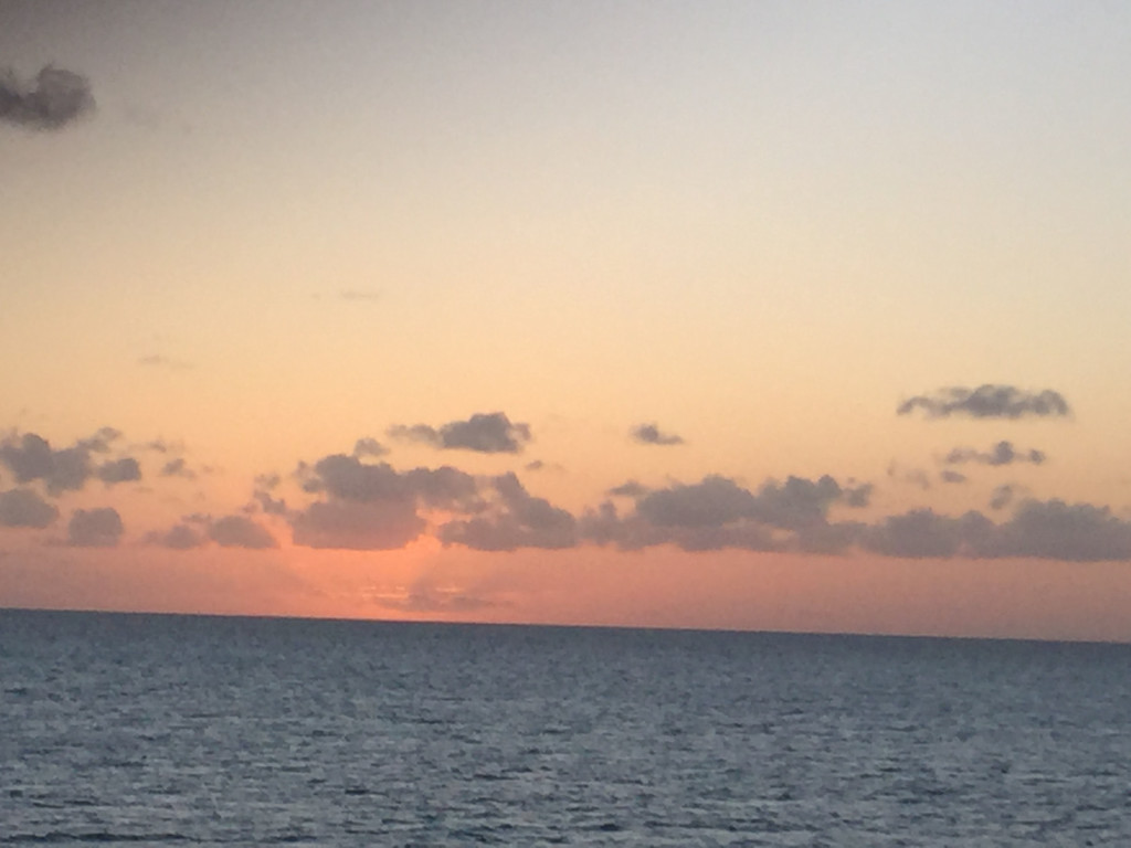
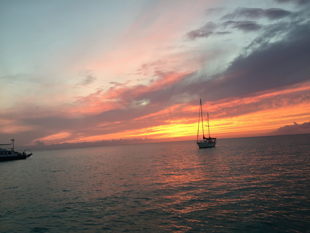
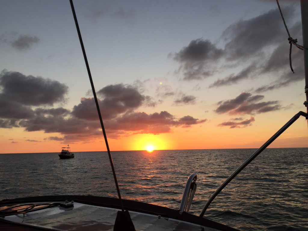
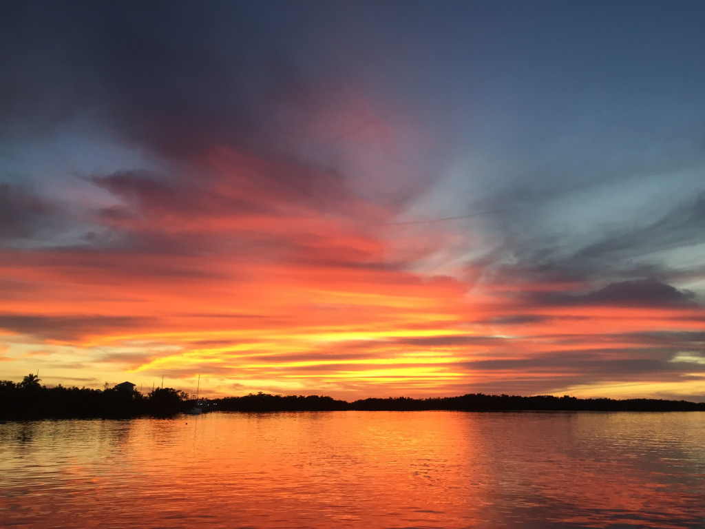
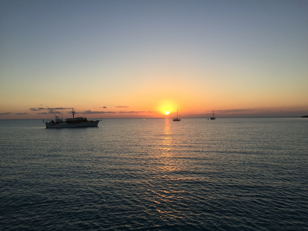
To catch you up on our whereabouts….we left the blog when we were in Emerald Bay Marina on Great Exuma. On 3/21 we sailed down to Georgetown and anchored off Volleyball Beach and the Chat ‘n Chill in Elisabeth Harbor at position 23 31.096N, 075 45.526W. Having been there before, we showed our travel mates the ropes (so to speak). We visited Chat ‘n Chill, St Frances restaurant and bar, went to Georgetown a few times for groceries, liquor, and boat parts; and also hit some restaurants. One of the highlights was a great happy hour at Augusta Bay resort across the harbor. They have a great bar there and the people are really friendly. They had 2 for 1 rum and Cokes that were mostly rum…2 for 5$ is a major bargain in the Bahamas! On 3/26 we had a good window to return up the Exuma chain and made our way back to Blackpoint, anchoring in position 24 06.198N, 076 24.174W. We waited out several days of high winds, including a day and night of northwest winds (not forecasted from that direction) that rocked us pretty badly. Of course we took advantage of the rum punch specials at Scorpios happy hour while we were there! We were treated to a couple of good sunsets during our stay:
IMG_2928cmp
IMG_2929cmp
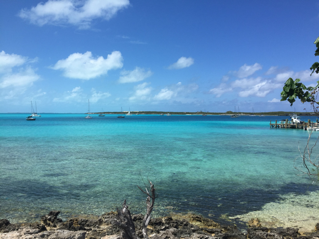
And a view of the anchorage from shore:
IMG_2933cmp

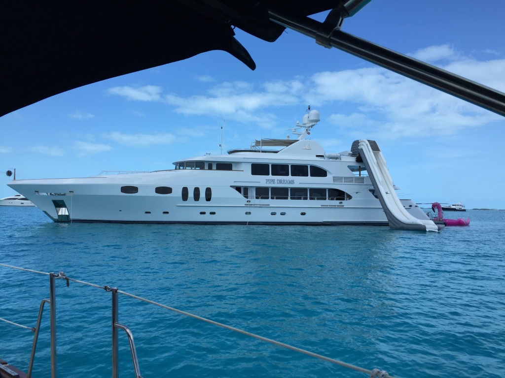
The winds died for a day, so on 4/1 we anchored off Staniel Cay Yacht Club and took Larry’s boat to the fuel dock. After fueling, we moved back to Sampson Cay, probably our favorite anchorage in the Exumas, and had the inside anchorage to ourselves, anchoring in position 24 12.558N, 076 28.527W. On the way down this place was packed with boats but this time we had only a few other boats come in and anchor outside of the area we like the best. We waited out high winds again for a few days, but we were able to dinghy into Pipe Creek and Over Yonder Cay and enjoy the stunning views in that area. We also enjoyed secluded reef snorkeling and secluded wallowing at several beaches and the sand flats behind the anchorage. These are the reasons we love the Exumas, unfortunately, it is very difficult to find any more. Too many people cruising the area and way too many mega-yachts.
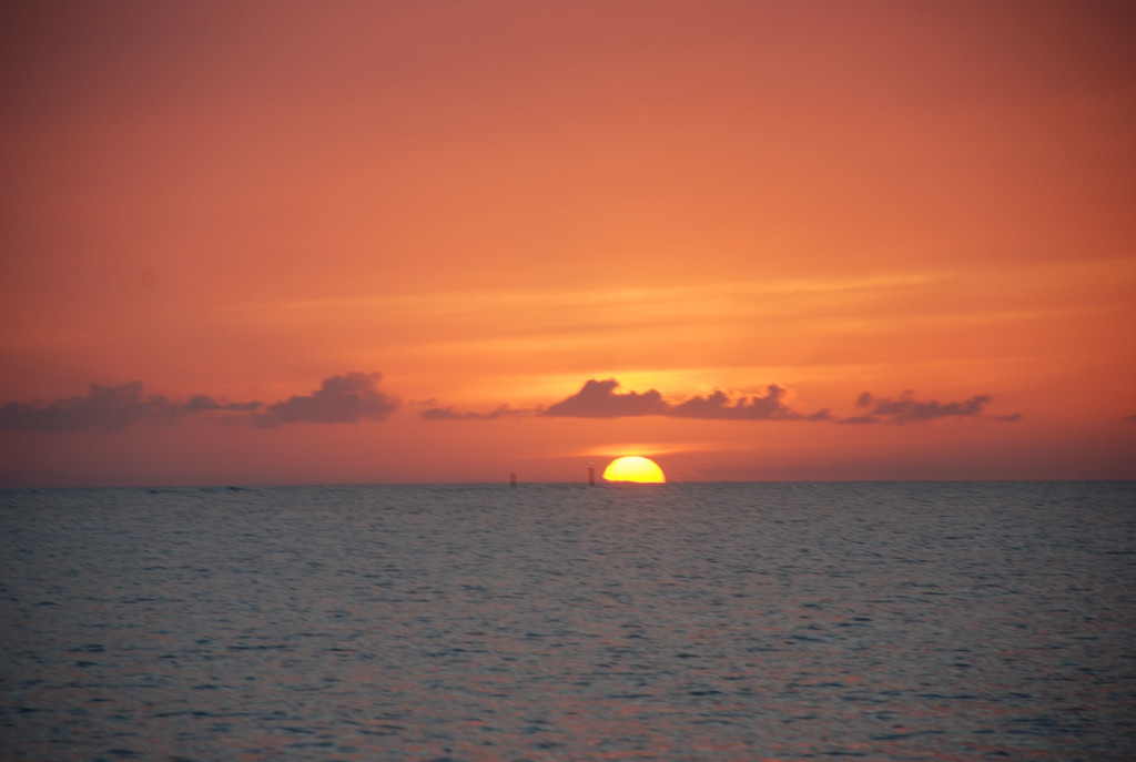
Having decided to make our way back home, we were looking for a suitable weather window. It looked like we had a decent 3 day window of east winds and waves, and weather we could sail and not get our asses kicked, so on 4/4 we moved up to Normans Cay to stage our crossing back to Bimini. It was a really windy day, but we were mostly in the lee of the weather and it wasn’t too bad. We anchored in position 24 36.181N, 076 49.203W. The next day we left and crossed the banks to New Providence Island (where Nassau is). Consistent with just about every other day, the forecasted winds and wave heights were not correct, and we took a beating in quartering waves. We had decided to try a new to us anchorage on the northwest corner of New Providence called Old Fort Bay. The 3 Active Captain reviews that we found suggested that it was better than West Bay which can have bad holding and a bad swell. The anchorage was really pretty. We found that a large portion of the area that is charted at 12 feet is actually less than 5, the first time we have found the Explorer charts to be incorrect in the Bahamas. The anchorage was subject to a bad swell, worse in some areas than others, and we found a spot that wasn’t too bad, until the tide shifted in the middle of the night and slammed us around all night. On the positive side….we did have a great sunset:
DSC_0086cmp
IMG_2935cmp

The next day we left, wishful that the forecast was more accurate, but to no avail the winds were higher and coming from the northeast instead of east, meaning beam seas…yuk. The first half of the trip to the Northwest Channel was really rough and uncomfortable, but the second half was pretty close to forecast. We traversed the channel with ease and went onto the banks to a place called Mackie Shoals…half way across the banks to Bimini. We arrived at Mackie Shoal about an hour after sunset and anchored in position 25 40.735N, 078 41.932W. This is in the middle of nowhere and totally exposed to the open water. We put the hook down to have dinner and to rest a few hours before we moved on. We were expecting 1 ½ foot waves and about an hour after we set the hook we had 3-4 footers slamming the bow of the boat up and down. We have had worse but it was still not fun. In spite of it all, we were exhausted from the trip and slept several hours in the slamming. We upped anchor at 3 AM and started toward Bimini…a 7 hour trip. Because the entrance to Bimini Sands marina has 4.5 feet of water at low tide, and we need at least 5 feet, we had to time it so we didn’t arrive before 7 AM and arrived before 1 PM. Just before first light, Sofia Jeanne clogged a fuel filter and the engine died. Matt replaced the fuel filter but had to prime the fuel system to get running again. To prime, he needed another hand to push the start button while he bled each injector on the engine. Since he was single handed, we all anchored in 4-5 foot seas and he brought the dinghy over to pick one of us up and use our generator (a whole other story) to start the engine. About an hour later we upped anchor and got back underway. It was the first time I have anchored in seas like that and it was crazy…the bow was rising and falling 5 feet at 3 second intervals…sometimes higher…and I thought the windlass was going to rip off the boat as the waves pulled the bow down into the water!!! We survived and managed to make it into Bimini Sands before noon. Once again, the forecast was way off, and thank goodness we had following seas or we would have received another major ass kicking.

One of the other issues we had was related to our electronics. Coming into New Providence, our wind instrumentation stopped working. I had complete redone the connections in Marathon FL months ago. On the trip from New Providence to Mackie Shoals, our GPS was dropping it’s location every 50 minutes or so. We would have to drop power from all of the electronics and restart to get them working again, only to have a repeat situation the entire trip. On the trip from Mackie Shoals to Bimini the GPS worked flawlessly, and now in Bimini the wind instrumentation is working fine too. We are thinking maybe a Bermuda Triangle thing????

Working south through the Exuma Cays

3/20/19
Emerald Bay Marina, Great Exuma, Bahamas
Position: 23 37.780N, 075 55.077W

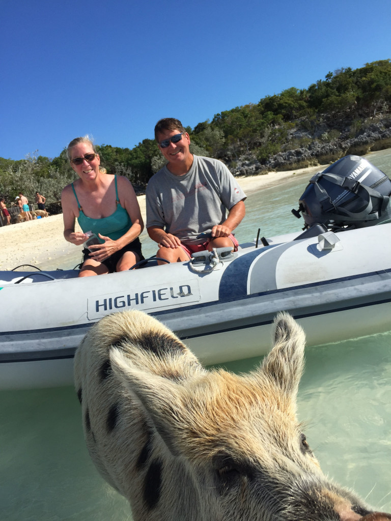
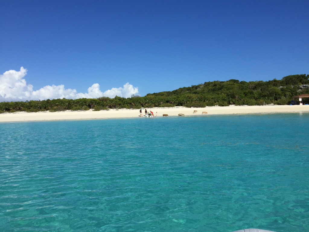
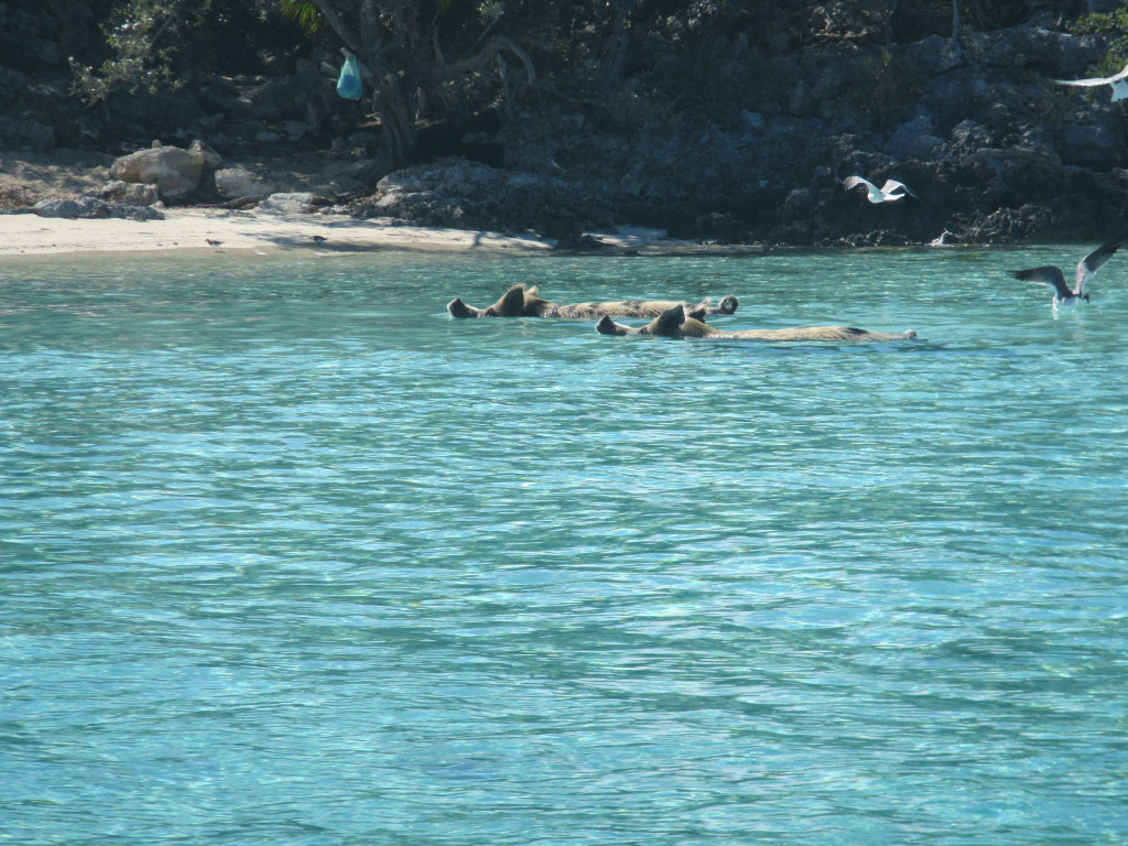
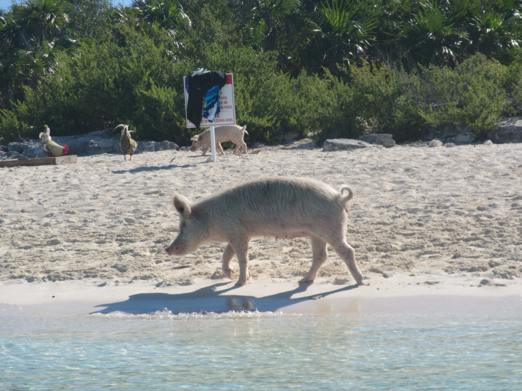
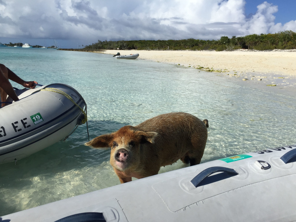
Another “long time … no blog”, and I have no real excuse. We took the worst of the weather at Sampson Cay and on the 10th the wind died enough to jump to the next anchorage which was at Big Majors Spot, anchoring in position 24 11.261N, 076 27.482W. There is good protection from the east winds we were expecting and we wanted to take our traveling buddy Larry to Pig Beach there since he had never been. We fed the pigs table scraps and they were pretty aggressive!
IMG_2869cmp
IMG_0680cmp
IMG_2866cmp

The next day the wind died enough to dinghy over to Staniel Cay and get some gasoline, check out the small grocery stores and have lunch at the Staniel Cay Yacht Club. The Yacht club was not our first choice, but the other two options for lunch did not have any food left when we got there. After a few rum punches and lunch, we headed back to the boats. We did a few sunset happy hours on Larry’s fly bridge and also did a “drink and drift” one evening. “Drink and drift” is where we tie our dinghies together, drink and drift as we watch the sunset.
The Drink and Drift:
IMG_0681cmp
A view from Staniel Cay:
IMG_2875cmp
Typical megayacht:
IMG_2876cmp

On the 12th we moved on down the cays to Great Guana Cay and the Blackpoint Settlement, anchoring in position 24 06.237N, 076 24.198W. Blackpoint is one of our favorite stops and we took advantage of the protection from north, east and south winds that built up to over 20 knots while we were there. We went to Scorpio’s happy hour 2 days while there and really enjoyed the rum punch special! We ate at Lorraine’s Café 2 nights and were disappointed both times, which surprised us. We usually get good food there. We also went to Deshamons and got pizza one night, which was really good. It was really windy and we didn’t do much else.

We were trying to get down to Emerald Bay Marina on Great Exuma around the 17th because our good friends Bill and Dondi from Southport had booked a room in a resort there so we could all hang out. They were only staying a few days and we were trying to maximize the number of days we could hang together. The weather was not really cooperating, but we built a strategy to move in that direction along the lee side of the cays until we had good enough weather to make an ocean run in Exuma Sound, which was the final leg. On the 15th we moved about 7 miles down Great Guana Cay to an a beautiful secluded beach at a place called White Point, anchoring in position 24 02388N, 076 22.574W. We enjoyed some wallowing on the beach there and all got together for drinks on Larry’s fly bridge. This is the best part of the Exumas…beautiful water, beautiful beaches, and the possibility of seclusion.
IMG_2880cmp

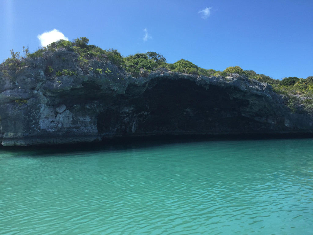
The next day we moved 12.65 miles down and anchored off of Cave Cay in position 23 54.421N, 076 16.646W. We spent the afternoon exploring by dinghy. We saw this grotto on Cave Cay:
IMG_2888cmp
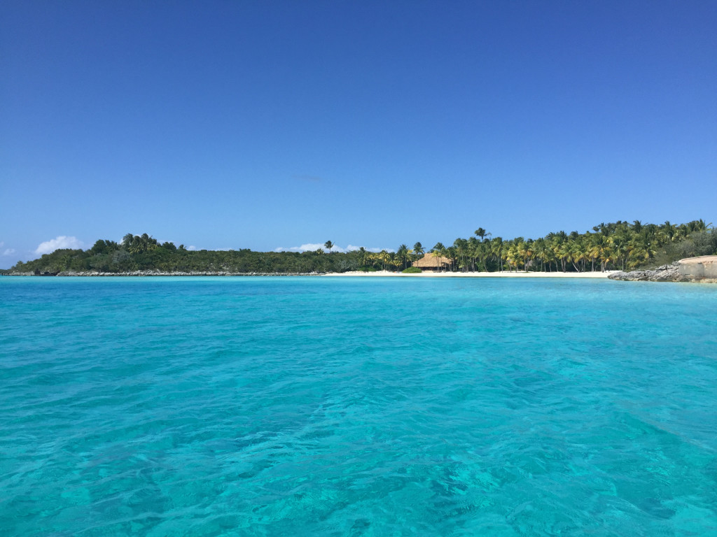
Then road down to a group of Cays owned by the magician David Copperfield. The scenery was spectacular!
IMG_2901cmp
IMG_2913cmp
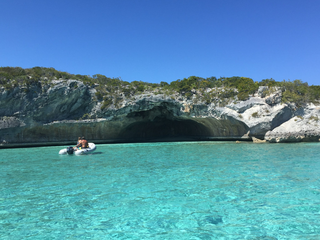
Including another cave:
IMG_2896cmp
We snorkeled a spot called “the piano”, where Copperfield sunk a baby grand piano along with a mermaid sculpture:
We then returned to the anchorage and when the tide shifted in the middle of the night, it turned the boat beam to the wind, causing a really bad rolling condition. We didn’t get much sleep, and I actually started to get seasick…my first time ever. The next day we were planning to run Exuma Sound to Emerald Bay. Based on the forecast, it was the best day we had to make the run…seas 2 foot falling to around 1, with winds around 10 knots out of the east. On top of being slightly sea sick, I had a very anxious feeling about making the trip, but we were trying to get to our friends ASAP and all agreed to push on. We went out Cave Cay Cut into the sound and were greeted by 6+ foot seas in the cut, slamming us and showering us with spray. Knowing the cut would be rough we pushed through until we got into the sound. We had 15 knot winds on the nose and 3-5 footers. Every part of me was saying “you need to turn around and wait another day”, but we didn’t want to mess up plans for the other 2 boats so we kept going. Needless to say…another 6 hour ass kicking, and another inaccurate forecast. And another confirmation of the adage “don’t travel based on a schedule”. The marina was nice and calm when we finally got past their break wall, and our friends were there to greet us as we arrived, which was very cool. Since here, we have been hanging with our friends at the nice pool at their resort, had a party on Larry’s fly bridge, and had dinner and played cards 2 nights in their room. It has been a lot of fun and we are honored that they booked their vacation time to be with us. We have never stayed at this marina before. They have nice floating docks and a nice club house for people to hang out. The marina pool is closed and you have to pay 25$ at Bill and Dondi’s resort if you want to spend the day at their pool, or you can pay to have a day pass at neighboring Sandals resort. The showers at the marina are pretty run down and not very clean. They regularly don’t have toilet paper, soap and paper towels in the restrooms. There is a swell with an east wind or northeast wind that causes you to roll at the slip. On top of that, the no-see-ums have been relentless. We haven’t had more than a couple hours sleep every night since we have been here. I am not sure I would stay here again.

We are now facing more high winds in a few days, after which we have maybe 2 days of calmer winds followed by what looks like another week of 20+ knot east winds, and are trying to decide which way to go. We want to go to Long Island, Cat Island, then Eluethera, then the Abacos, then back to the States. Not sure that is possible in the time we have left and the forecast we are looking at right now. We will keep you posted.

Another ass kicking…but we made it to the Exumas!

3/7/19
Sampson Cay, Exumas, Bahamas
Position: 24 12.424N, 076 28.562W
Posted by Bill

While in Palm Cay Marina, the forecast showed 2 days of 10-15 knots of wind and seas of 1-2 feet both out of the SE, then a calm day, then 4 days of 20 knot plus winds out of the north as a front passed through. Overnight in Palm Cay, the winds picked up over 15 and the sea state was looking nasty. Our choices…leave now, make it to the Exumas and find a place to weather north winds, which is not easy in the Exumas, or stay in expensive Palm Cay Marina for a week. We opted to leave. One of the bad things about Palm Cay is that it is a very tight marina with not much room to maneuver a boat like ours. We had to back out of our slip with winds on our stern quarter with barely enough room to get the boat out of the slip and turned around to get out of the marina. I was concerned that as we backed out the wind would grab us before we could get the bow turned into it, pinning us down in the fairway, and that is exactly what happened. Fortunately, the boats on our port side were resting inside the outer pilings, and unfortunately, the boat on our starboard was sticking out into the fairway about 3 feet. I couldn’t clear the boat on the starboard side and we ended up pinned to the pilings of the slips that were on the port side. Thankfully, Tricia was able to push off the bow with a boat hook, and I got the stern off the piling by me just enough to clear the boat that was sticking out, but it was not fun! We motored out into the Banks heading SE, directly into 3-4 foot waves, with occasional 2 footers, all hitting us every 2 seconds. The 2 second wave period was the bitch of it all. We were bashing directly into it. We would get our speed up to 6 MPH briefly and then a series of 3 waves would bash into the bow, throwing it up and slamming it down, slowing us to 3 MPH. Winds were primarily 15-20. This turned a normally 6 hour trip into almost 9 hours of getting slammed. It was absolutely miserable. We anchored at Normans Island in position: 24 36.206N, 076 49.243W. We had cocktails and watched the sunset on the beach.

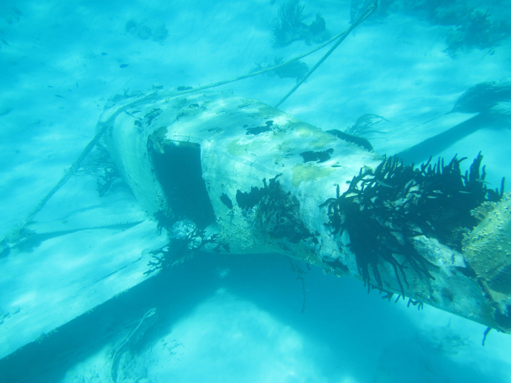
The next day we left and tried to get into the Warderick Wells north mooring field. This is a great place to sit out a frontal passage, but it was full with a waiting list. We executed the backup plan and went to Cambridge Cay, one of our favorite places. The moorings were all taken and the anchorage was nearly full, but we were able to find a place to drop the hook…position: 24 18.254N, 076 32.444W. Cambridge is in the Exuma Land and Sea Park which is a nature preserve. You can’t take anything (like shelling or fishing) and you can’t leave anything (like trash). It is absolutely beautiful. The weather calmed down and we enjoyed a couple of days there, snorkeling the Aquarium…a really cool reef that looks just like an aquarium (think like Columbus Zoo aquarium exhibit), a sunken plane, and a couple of caves in the Rocky Dundas. The day after we arrived, several people left and all 3 of us were able to get mooring balls, so we decided to weather the first couple of days of the frontal passage at Cambridge. We had decent protection from the winds as they clocked from north to northeast, but there is a strong current that runs SE to NW and put our boat sideways to the wind and waves for a good portion of the days and nights, making us roll side to side.

The winds died a bit on 3/7 and we decided to make a run to Sampson Cay, our absolute favorite anchorage in the Exumas. There is usually no one there, it is very well protected from all winds except west, there are great beaches within a short ride, and if you really need fuel or groceries you can take a long dinghy ride to Staniel Cay. We arrived just before noon and anchored in position: 24 12.424N, 076 28.562W. We were shocked to find the anchorage stacked full of boats! Apparently, our secret anchorage has been discovered…that sucks! I think part of it is that there are a lot more people cruising the Exumas. Normans Island was crowded, Cambridge was very crowded, Warderick Wells is croweded, and we are hearing that Big Majors/Pig Beach is packed full of boats as well as Georgetown. We have noticed this as a trend each year we travel here, with more people every year, and more mega-yachts every year. The mega-yachts are taking over the Exumas and making them a playground for all of their toys. In my opinion, this is ruining the Exumas for the normal cruiser and it is sad to see.

We played bocci ball on the beach in the salt flats of Sampson and had happy hour on Sofia Jeanne and have a very comfortable and protected position for the strong east winds we are expecting for the next 3 days. Then we are expecting a day with winds around 10 knots, immediately followed by several days of 20-25 knot winds. We are going to have to stay hunkered down or travel short distances in protected areas for the duration.

Some pics…..
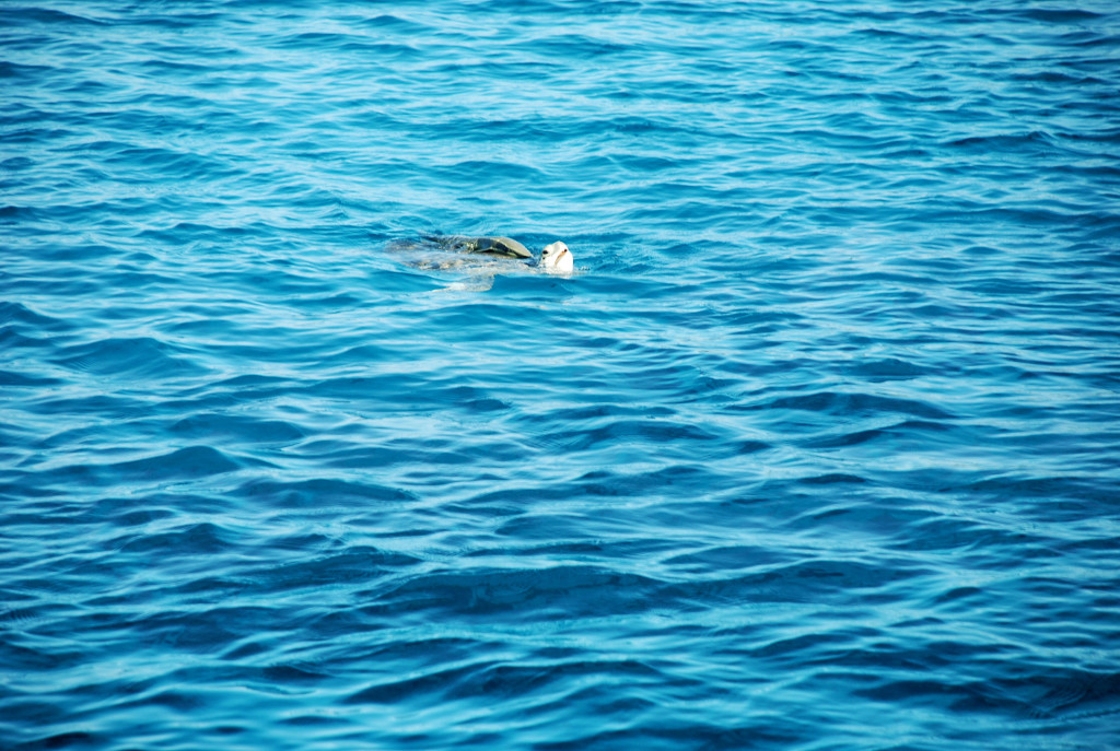
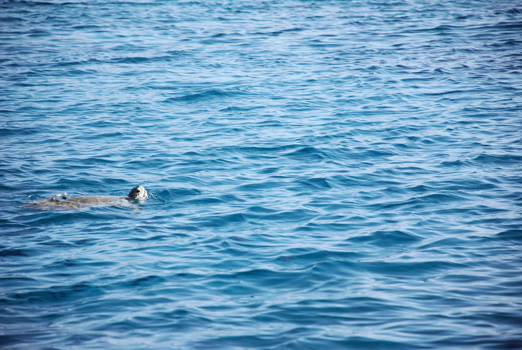
We had these turtles visit us every day at Cambridge Cay:
DSC_0026cmp
DSC_0029cmp

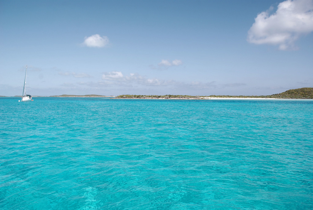
One of the views from our mooring in Cambridge Cay:
DSC_0035cmp

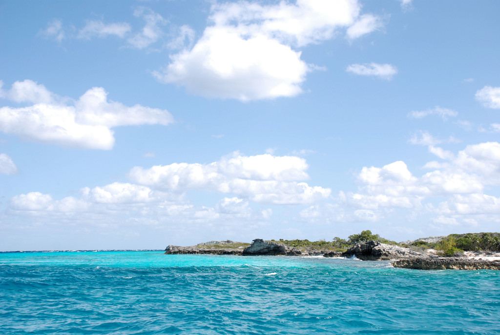
Sights traveling around Compass Cay on the way to Sampson. The water colors are amazing and the pictures can’t do it justice:
DSC_0043cmp
DSC_0039cmp

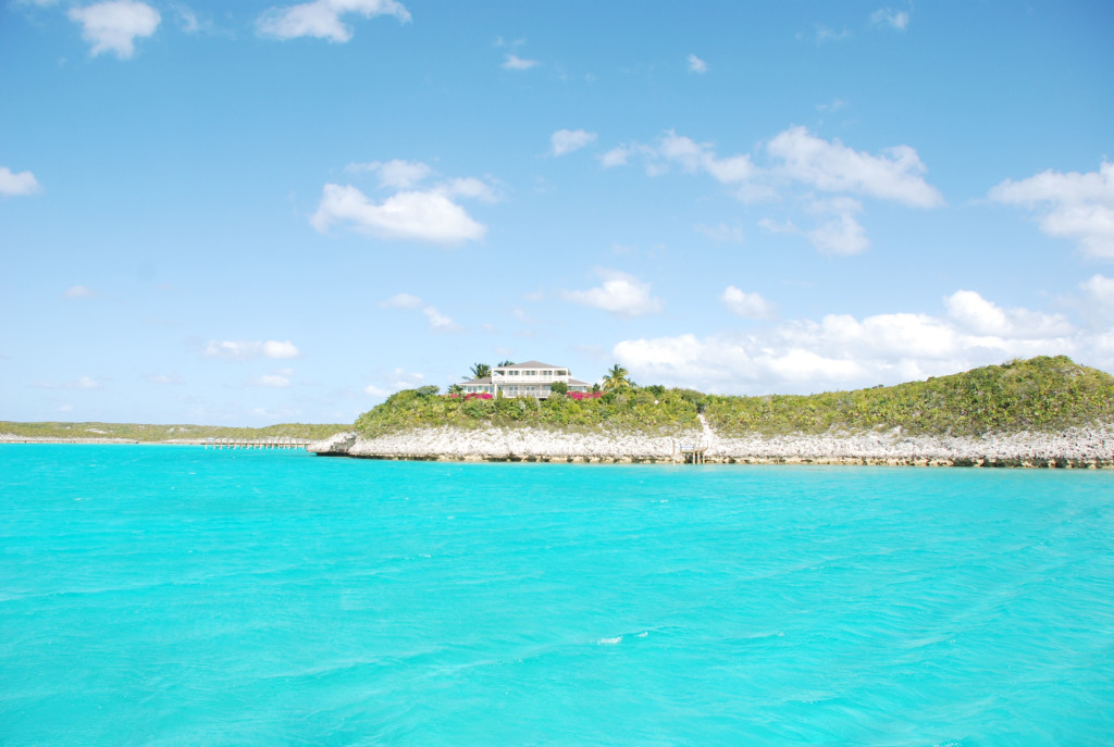
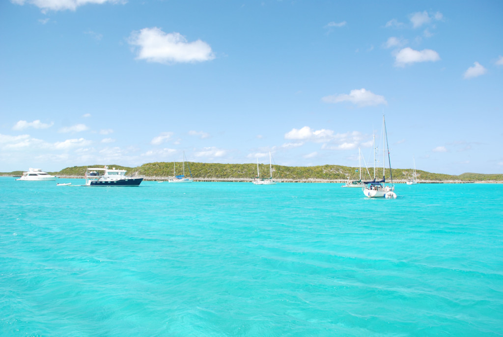
We are anchored in front of this house on Sampson Cay, and another view of some of the boats here:
DSC_0073cmp
DSC_0079cmp

Breaking Bimini’s hold…and averting a disaster at sea

3/2/19
Palm Cay Marina, New Providence, Bahamas
Position: 25 01.254N, 077 16.460W
Posted by Bill

We finally got a weather window long enough to make our way to the Exumas. The forecast was showing winds around 10 knots for a couple of days with 1-2 foot seas, all out of the south, but by noon on the third day it was going to blow up to 20 knots. Since Larry was single handing on At Ease, we knew we needed to stop for periods of rest and break the trip up into 3 days, anchoring on the Bahama Banks by the Northwest Channel on day one, stopping at Palm Cay Marina on New Providence Island for day 2, and then make the Exumas on day 3. The first 2 legs are 75 mile and 12 hour passages, and the last leg is about 45 miles to Normans Island in the Exumas. The plan was to get to Nassau Harbor by 1 PM the second day before the winds started to build, and then wait in Palm Cay Marina a few days until the winds subsided.

We shoved off on 2/24/19 at about 7:33 AM and headed south to Triangle Rocks to enter the Banks. The seas were really rough, way above the forecast, so we took an hour ass-kicking bashing into them until we got on the Banks where it was on the high side of the forecast. Winds were stronger than forecast, but we could sail so it was comfortable and fast. About 32 miles into the trip, one of the boats started taking on water! We were in the lead and immediately turned around. The three boats drifted as they tried to determine the cause and remedy. After about 30 minutes, they discovered they were not taking any more water on, but needed to get all of the water out before they could continue, which was great because we thought they might be sinking. Water was above the floor boards in the cabin and had covered the drive train, making it impossible to use the motor. Just prior to all this, the winds picked up and the seas built to 3-4 feet, hitting us every 3 seconds…not a fun sea state. Here we are in the middle of nowhere, no other boats, no Coast Guard to help…it was pretty scary. Fortunately they could sail, so we turned back toward Bimini. Cat Cay is on the way back about 20 miles away and we could get assistance there, and maybe make it back to the marina we left in South Bimini, which is what we did. Unfortunately for us, we were going to get to the marina at sunset and also at low tide. There is a rock shelf at the entrance to the marina that carries less than 5 feet at low tide, making it impossible for us to enter. The other 2 boats have a shallower draft and made it in. We motored around in bashing seas for an hour and a half waiting on tide, and by that time it was pitch black. The marina entrance is narrow and surrounded by rock jetties on each side. There is also a short dog leg to the route in. I couldn’t see anything, but I did have a track on my chart plotter that I could follow which was the plan. Unfortunately, when I zoomed into the level I needed, the track would disappear! I radioed Sofia Jeanne and Crabshack H2O (Kurt and Sharon’s new boat) and asked them to lead me in on one of their dinghies. They came out, but we had to abort the first attempt because a fishing boat was coming out of the marina shining a spotlight, blinding me completely. On the second attempt a large swell grabbed the boat at the entrance and pushed us to the right, heading for the rocks, and at the last minute I gunned the engine and pulled out of it, coming really close to a major disaster. We made it in on the second attempt, grabbed a slip, and had several strong cocktails. A really bad and scary day on the water!

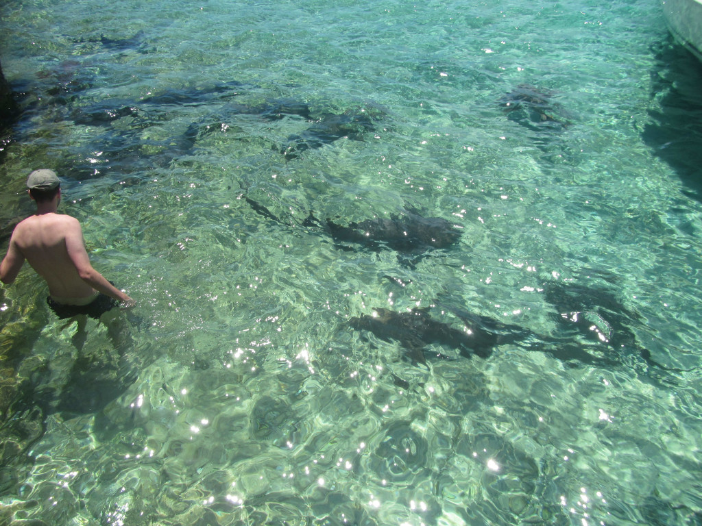
Our next weather window was 4 days later. We patched up the boats and waited. This time we had a 4 day window of light winds and calm seas. We left Bimini on 2/28/19 and went about 10 miles to Honeymoon Harbor, just inside the Banks at Gun Cay. We have anchored here before and it is a cool stop…secluded beach, and this is where the stingrays come up and swim around your feet looking for food (people feed them here). We anchored in position 25 35.015N, 079 17.877W, played with the stingrays and had a very nice evening, happy to have broken the hold of Bimini.

The next day we said goodbye to Kurt and Sharon as they were heading to their condo in the Berry Islands, and we motored 68 miles to the Northwest Channel and got an anchor down behind the Northwest Shoal just before sundown in position 25 31.095N, 078 13.148W. We had dinner and drinks watching the sunset. The winds and waves picked up around 2 AM, making the boat roll and making it difficult to sleep. We had planned to leave at 3 AM so that we could get to the Palm Cay Marina before they close at 5 PM, and we departed at 3 AM. The forecast wasn’t accurate, but it was fairly comfortable motoring into the wind and seas until the last hour and a half, where it got really rough. We made it into Palm Cay Marina at 4 PM, fueled up and topped off water, and got some well needed sleep.

Sunset on the Great Bahama Banks:
IMG_2854

Chillin’ in Bimini

2/21/19
South Bimini, Bahamas
Position: 25 42.539N, 079 17.953W
Posted by Bill
We finally got a decent weather window and broke the hold of Marathon. On 2/15 we departed Boot Key Harbor and went up the inside of the Keys to a favorite anchorage right off of a bar/restaurant in Islamorada called Lorelei. Back when we used to come here via land, this was our favorite bar in the Keys. It used to be primarily a locals hangout, which appealed to us, but they have succumbed to the tourists and it has lost some of its charm. Still good food and a good time, and not a bad happy hour! We anchored in position 24 55.573N, 080 38.153W. The sunset was fantastic that night, but the mosquitoes tore me up!
IMG_2842cmp

The next day we upped anchor and went to Pumpkin Key on the north side of Key Largo, anchoring in position 25 19.801N, 080 17.087W. It was our first time here and it was a nice anchorage. There was nowhere to go ashore which didn’t matter because we had to prepare for crossing the Gulf Stream and Atlantic Ocean to Bimini the next day. It is also right next to Angelfish Creek, which is one of few cuts between the Gulf side and ocean side of the Keys. In the past we had been told that we could not get through there because of our 5 foot draft, but in Marathon we talked to some people that confirmed we could, as long as we had tide to help us. It is a little further from Bimini than Key Biscayne where we usually cross, but we don’t have to fight the Gulf Stream, so we figured it would take the same amount of time. We departed on the 17th. The forecast called for light winds from the south building to 8-12 knots in the afternoon, and 1-2 foot seas which were going to hold as we went further along the route. We took a compass heading of due east which allowed us to actually sail, which is something we rarely get to do!!! The passage started out great, but in the last 1/3rd of the trip the winds built to 15-20 knots and seas 3-4 feet on the beam. If we hadn’t been able to sail, we would have gotten our asses kicked and would have been thrown side to side for 9 hours, but with the sails up our boat is very comfortable and we had a fantastic sail. There was still a mess to clean up down in the cabin from miscellaneous stuff that had been thrown about, but we actually enjoyed this passage.

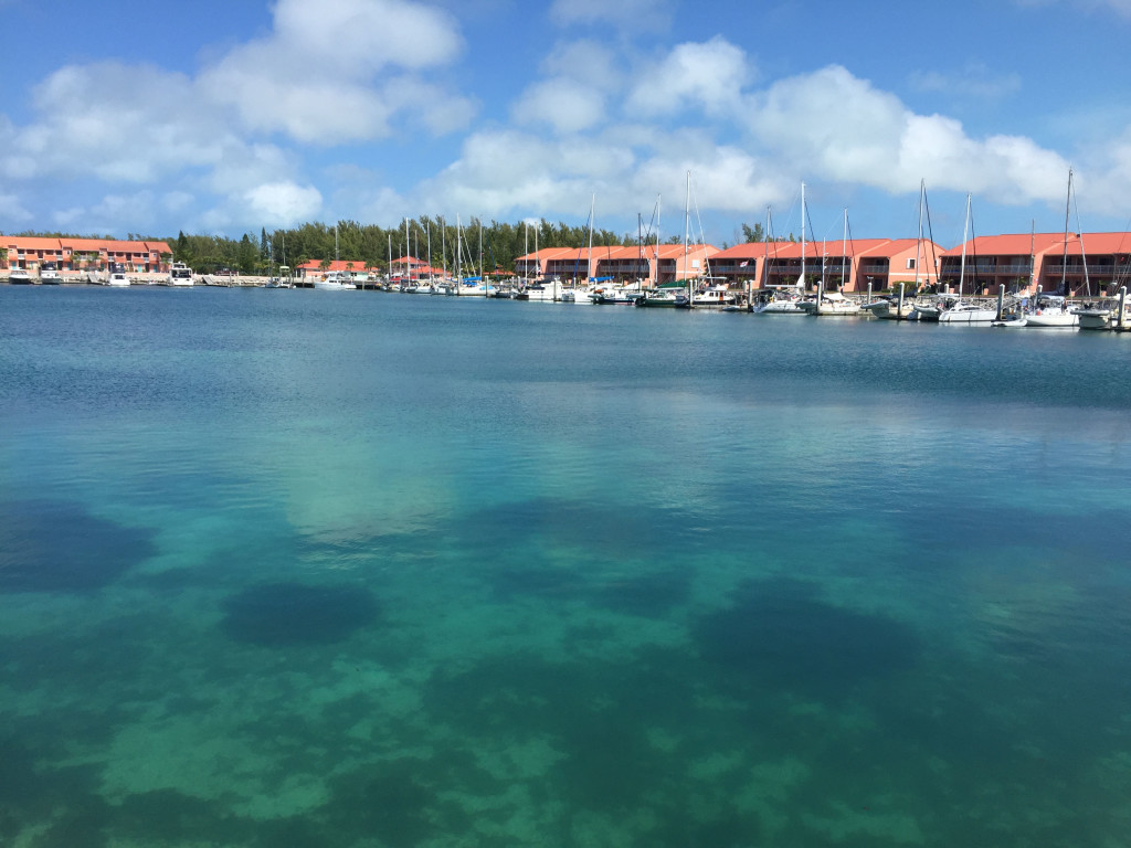
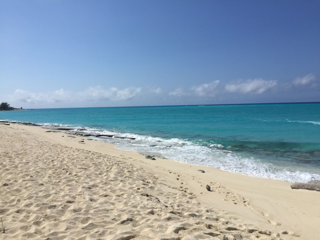
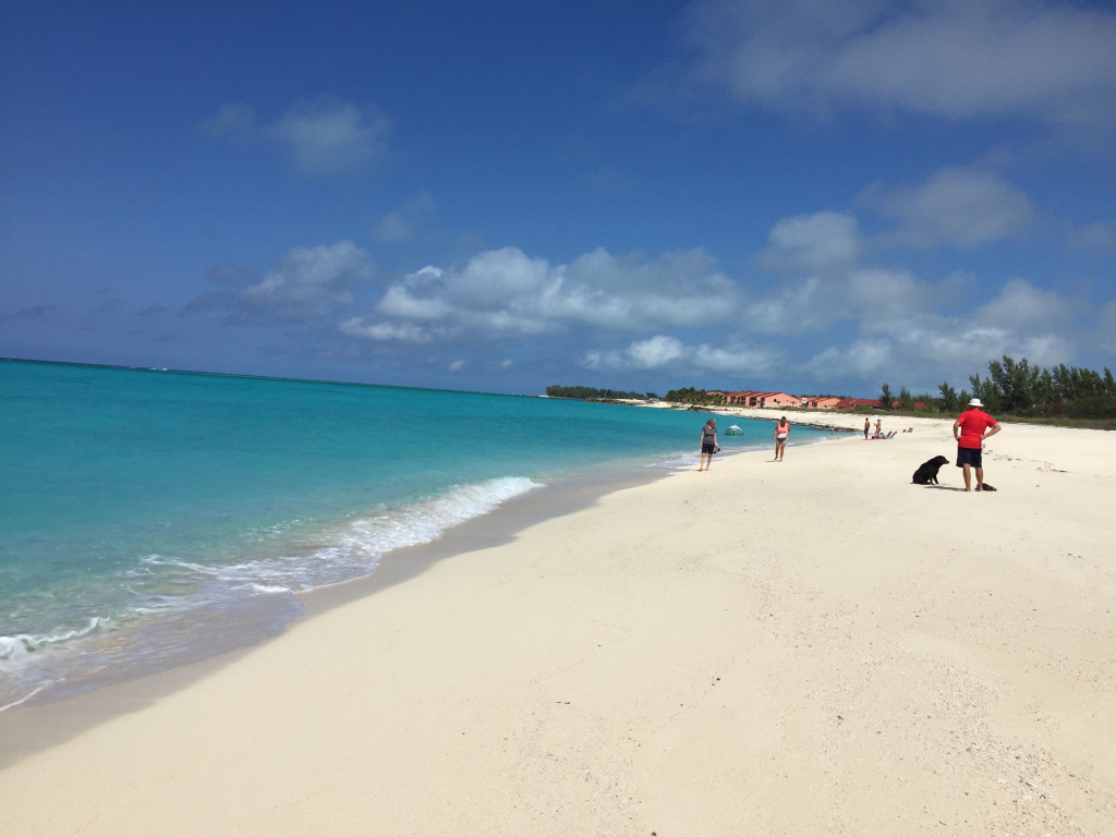
We didn’t have a weather window to head east until the beginning of the next week so we are hanging out in Bimini. The marina is part of a resort so we have 2 pools and a great beach to enjoy while we wait.
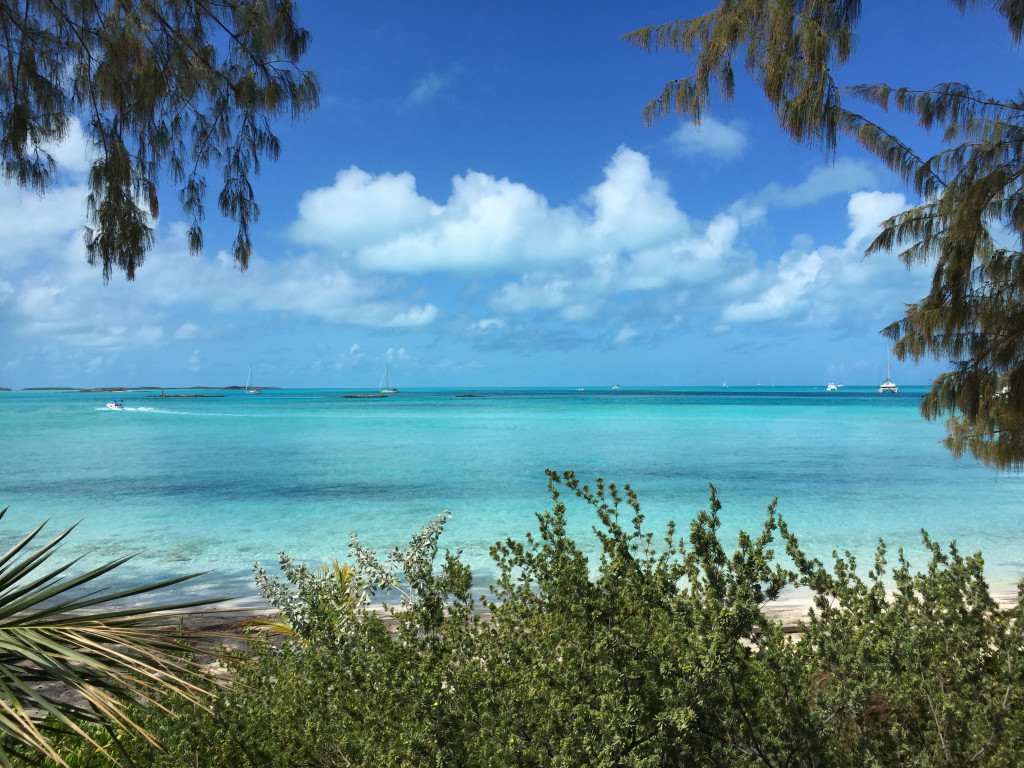
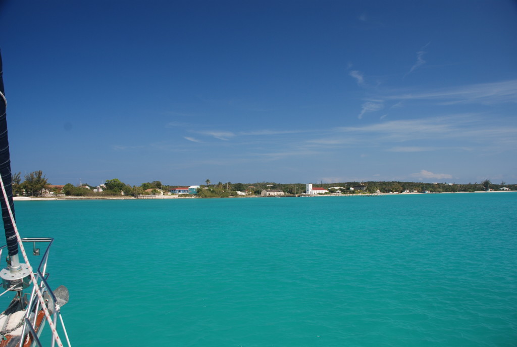
In spite of the many times we have been here, we still marvel at the clarity and color of the water here.
Our second day here, we took the dinghys over to North Bimini to buy a Bahamas SIM card for our phone. Usually you buy one, put it in your phone, and you are good to go with voice and data throughout the Bahamas. Unfortunately, Shirley and I both have new iPhone 6s which we have never used in the Bahamas, and while trying to activate the SIM we got a message that the phone was not unlocked, which was a requirement to activate. After many hours on the phone with Verizon and Apple, and much research the next day via internet, we found out that our model of iPhone is USA only and will not work outside of the States. Here we are, wasting 2 days, with much frustration, trying to get a phone to activate. There was nothing that told us the phones were USA only when we bought them and we are pissed. Fortunately, Shirley had her old iPhone which worked fine with the SIM, and we used ours in Tricia’s phone instead of mine. We usually use mine because of the weather and navigation apps that I use when cruising, but I can hot spot to hers and get what I need.

It was nice to see that North Bimini is cleaning up their act. The other times we were hear there was trash all over the streets and a general attitude of not caring, but things have improved. Hopefully that will help get more tourism here and help the people living here. The next weather window is short, but we are planning to leave here Sunday and travel first to New Providence and Palm Cay Marina, and then to the Exumas as weather permits.

A shot of the marina:
IMG_2848cmp

The beach at the marina:
IMG_2849cmp

Radio Beach on North Bimini:
IMG_2851cmp

Back in the USA

4/28/17
Manatee Pocket, Port Salerno, FL
Position:27 09.267N, 080 11.703W
Posted by Bill

Well…we made it back safely.

Our good friends and traveling partners, Kurt and Sharon on Byrd Ketcher, joined us in South Bimini the day before we left. It was a great reunion and a good time was had by all!! We had a 2 day window of good weather and sea state, and we picked the best sea state forecast. It was supposed to be seas around 2 feet and light winds until the last 1/4th of the trip, and then just over 2 feet with winds in the low teens. We left on 4/26 at first light and had a great passage for 3/4ths of the way…just as forecasted. However, the last three hours sucked bad. For that period we were in the Gulf Stream, which is a 3-4 knot current that runs north. Our one rule that we will never break, “don’t travel the Gulf Stream with any kind of wind with a north component (N, NW, NE)”. The reason is that a wind opposing that strong of a current creates steep, tightly spaced, waves that kick your ass. Winds were supposed to be SE so we thought we were good to go, but they ended up being NE when we got there. We also had a N to NE swell running which was amplified by the NE winds, which were 15-20 knots, and whipped up by the stream. So….once again we had 6 foot BEAM SEAS, short wave period, and steep! You guessed it…ass kicking. It amazes me that we have not be able to count on any forecast data this year. We use 5 different sources and interpolate, but they have all been wrong when we have counted on them.

Needless to say, we made it to the Lake Worth Inlet and ended up anchoring in North Palm Beach at position 26 50.268N, 080 03.326W. We were so beat up and exhausted that we just collapsed on the boat and crashed early. If you are a blog follower, this is the same anchorage that we pulled up the remnants of a house boat with our anchor a few years ago. I was a little nervous this time, but we stayed away from the spot that we anchored before. Yesterday, we went ashore, had a great breakfast and hit the local grocery store. It is always a culture shock coming back to the US from the Bahamas, especially at the grocery store with all of the options available, and fresh produce. Just to give you a general idea, you go from this:DSC_0439 cmp

To this:DSC_0241 cmp

Yesterday we motored the ICW to Port Salerno, and Manatee Pocket. We enjoyed dinner and drinks at the Twisted Tuna. It was fun, and nice to have the options and prices that the US offers at its restaurants. Here is a shot of the anchorage:DSC_0053

We are starting the trek back up to Southport, and expect to be there before Memorial Day weekend.

Another round of ass kicking

4/23/17
South Bimini, Bahamas
Posted by Bill

We really love cruising in the Bahamas. Our favorite place to be so far is the Exumas. When we originally set sail 3 years ago, we thought we would do the Bahamas and the Keys and then work our way through the Caribbean. We have chartered boats in the Virgin Islands several times and also flown to many other places in the Caribbean for vacations over the years, so we had a pretty good idea of what we were getting into. Once we got to the Bahamas, we realized that there is no need for us to go further, and we may not…we shall see. The Exumas are beautiful and you can find seclusion. You can also find food, trash disposal, fuel, and visit some small towns to eat out and/or check out the culture. The biggest problem we have dealt with is the weather. The first year was not as bad as the last 2, which have really made it difficult to see and do all of the things we wanted. We get pinned down by weather for 5-10 days, have a couple of days to move to another place, only to prepare for another 5-10 days of bad weather. By bad weather, I am talking mostly winds and the resulting sea state. We are not fans of getting rocked and rolled for days at a time, and unfortunately, you find you are getting your ass kicked while underway and at anchor. After awhile, it just gets to us. This year my new cruising goal was “not to get my ass kicked”. Sometimes that means you have to sit somewhere for a long time. I know that this is just part of the deal, and I would not trade our experiences if I had it to do over again. We feel so fortunate to have seen the world like this. If you are thinking about going cruising, just know that this is a major pain in the butt, and some people go back to dirt dwelling because of it.

There seems to be more mega-yachts, boats in the 150-250 foot range, in the Exumas. Most of them appear to be chartered. The typical passengers are not cruising savvy, which means, they don’t understand common courtesy or respect, for other boaters or for nature. They congregate in certain spots that have become tourist attractions, and are essentially ruining the experience for everyone else. The Bahamians naturally cater to this crowd because most of their livelihood is dependent on tourism. Passengers are rude, arrogant, with a “we own the Exumas” mentality. We will not go back to some of these places because of it. The mega-rich are also buying cays or islands, and making them private. Fortunately, the law through all of the Bahamas is that 50 feet above the high tide line on all beaches are public property, so you can still enjoy the beach and water. From what we have read and heard, the privatization of the cays is changing the culture and feel of the area, and not for the better. One of the cool things that we noticed at some of the settlements like Blackpoint, is that you see the children outside playing…swimming, riding bikes, and having the same kind of fun we did as kids. You don’t see them consumed in the world of electronics like kids in the States are. They are out interacting with everyone in the streets. There is also no need to worry about their safety besides drowning or something like that. There is no crime. It was an interesting contrast. Traveling with Matt and Shirley, Grady (their white lab) is always an attraction wherever we go, especially with the kids. You don’t see many large dogs in the islands, and all of the kids want to pet him and walk him. They all asked “does he bite?” first thing upon seeing him!

Back to the weather….we got pinned down in Spanish Wells for 16 days, and for most of the time we had winds over 20 knots and open water seas to 9 feet. Spanish Wells is one of our favorite towns in the Bahamas, so there could be worse places to get stuck. We ate at Budda’s often and also wallowed at the beach on the west end of town. We also read a lot. Several times it looked like a weather window was opening up, only to slam shut. Some of the locals made comments about how bad the weather was, how long it was lasting, and how abnormal this was. We chose to abandon our plans to go through the Abacos and started looking at windows to cross the Gulf Stream back to the States, figuring we would take our time going back up the coast to Southport and enjoy some of our favorite spots along the east coast. This approach led to a plan to make passage to South Bimini, and cross to West Palm Beach. A couple of crossing weather windows came and went in the course of a week, and finally we saw one for April 25th through the 27th. Unfortunately, most routes from Spanish Wells to Bimini were 2 day hops, and we settled in on a direct route in an overnight passage. Even with an overnighter, we had to get to Bimini before the 25th and there wasn’t a very comfortable passage in the forecast to get us there. We opted to leave at dawn on the 21st and arrived in South Bimini 24 hours later, 6 hours ahead of schedule. The reason we were so far ahead of schedule is because the winds were higher than forecasted and we had good sailing. The bad part is that the sea state was not anywhere close to the forecast. After weeks of high winds, the seas didn’t have much time to settle, and to top it off, we had to go across an area where 3 oceanic bodies of water meet: the open Atlantic, the Tongue of The Ocean, and the Northwest Passage. To make matters worse, this area is thousands of feet deep, and the water goes from thousands of feet to 20 feet in ¼ mile of where it meets any land. You might be able to imagine the sea state that this creates even when there is no wind. In the middle of where all of these waters meet, we encountered very steep 6 foot seas coming from almost every direction at once, lasting for hours. It was miserable at best. Matt and Shirley had waves breaking into the dinghy hanging on the back of the boat. The bottom line is that we made it…yay…and nothing broke, and no one was injured. When we arrived in South Bimini, we slept, took a walk on the beach, and sat by the pool for the afternoon. Everyone was exhausted. Today it is raining and we are chilling on the boats. As of today, it looks like the best crossing weather is going to be Wednesday, so we are planning to depart then. These weather windows are usually very short, and they change more often than not, so you have to take the first good day you get, or you could be sitting for weeks at a time again.

We had hoped to spend more time in the Bahamas, but we are anxious to get back to the States as well, especially with tropical storm systems starting to develop in the Atlantic already. We certainly don’t want to weather those out here in the Bahamas.

Enjoying Spanish Wells

4/7/17
Spanish Wells, Bahamas
Position: 25 32.465N, 076 45.384W
Posted by Bill

Our last day in Rock Sound was productive. They have a decent grocery store and liquor store, and we bought a few things we needed. We then went to dinner at Rose’s. Rose has a small resort and restaurant on the Atlantic Ocean side of Eluethera, and has a great reputation for good food at a reasonable price. It was too far to walk, but Rose comes and picks you up at the dinghy dock. She fixed a fantastic dinner in her own kitchen, and we ate overlooking the ocean. Then we all crammed into her little car (Grady included) and she took us back. If you ever get to Rock Sound, don’t miss going to Rose’s.

We departed at dawn on the 4th with about 6 other boats, everyone trying to work the weather windows to get where they want to be. We were going to head to the protected anchorage at Hatchet Bay, but we made a change of plans as we were sailing, and opted to try to get through the cut at Current Island on the north side of Eleuthera. The seas were following and the wind was around 15 knots, so the motion of the boat was not too bad. That, plus the fact that we really didn’t care much for Hatchet Bay the last time we were there, so we turned further north and skipped it. We needed to get through the cut at Current Island close to slack tide, as the current can really rip through the cut, enough that smaller boats may have a hard time making forward motion. We were making such good time with the wind and following seas, and arrived at the cut more than an hour before slack, in spite of us slowing way down for the last couple of hours on the way there. When we went through, we had a current against us of almost 3 miles per hour, which wasn’t a problem, and we opted to drop anchor on the north side of the cut at position: 25 24.857N, 076 47.299W. Tricia made home made pizza dough, and Sofia Jeanne brought salad and toppings, and we enjoyed a real treat. Actually, now would be a great time to comment on how well we eat on board. Traveling with Matt and Shirley, we (for us, it is Tricia…not me…lol) have been taking turns making a main course, and everyone brings sides. Sometimes it is Mexican food, Chinese food, shrimp and grits, fish, etc…and then we have days where we just bring our individual meals to one of the boats and cook everything together. Most of the time we eat together. The people cooking make some really good food! After that, we play cards or just hang out and shoot the shit. It is really nice traveling with such good friends.

Being at Current Island put us closer to Spanish Wells, so our trip there on the 5th was only a couple of hours. With the winds we expected, we couldn’t comfortably use any of the nearby anchorages, so we tried to get a mooring ball in the mooring field, to no avail. There was a waiting list. Sometimes this happens, especially when a weather front is moving in, like it is right now! We opted to take a slip in the yacht haven marina. They just finished renovating it last year, complete with swimming pool, guest houses and a restaurant/bar. It is really nice! Unfortunately, it is $2.50 a foot per night….yuk! We figured we can stay a few days until a mooring frees up, or until a weather window allows us to move on. We thought that we had a window on the 8th and 9th, but it is looking mighty uncomfortable for a 10 hour ocean crossing to the Abacos. We are still debating, but it is looking like we will hunker down here, especially if we can get a mooring ball…only $25/day. The next week is around 20 knot winds out of the north/northeast for an entire week…not good weather to try and travel through the Abacos, so that is a factor as well…might as well stay here. It is easy to want to stay. Spanish Wells is one of our favorite places to visit when looking for a town/settlement atmosphere. The people here are extremely friendly. There is no trash laying around, houses are kept up, yards are tidy and mowed, there aren’t dogs and roosters running around all over the place, all which is prevalent in towns/settelements throughout the Bahamas. There are good grocery stores, marine parts, and a few good restaurants. There are also nice beaches. We haven’t quite figured out why this place is so different, but it is a good different. We have been enjoying the pool, real showers (also nice and clean facilities), and being able to just walk off of the boat to shore. We also hit our favorite restaurant and happy hour several times at Budda’s. If we get weathered in here longer than a week, we may have to skip the Abacos and start to work our way back home.

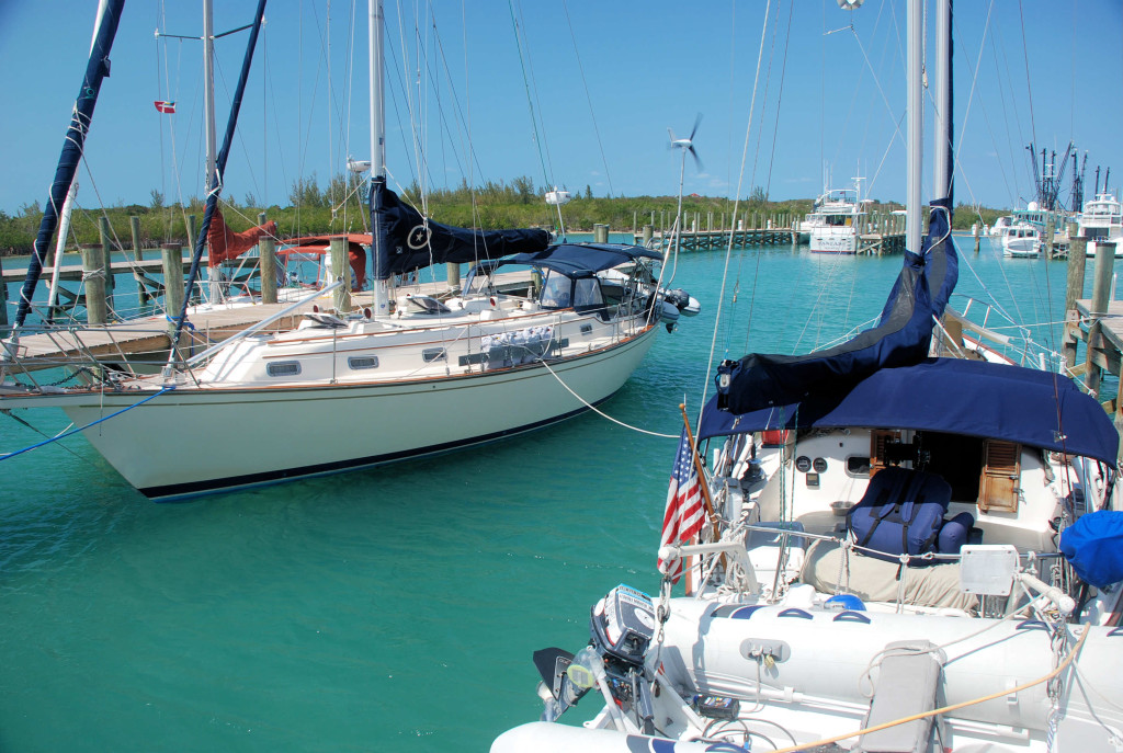
Here is a picture of the pool area and our slip:
DSC_0030 cmp
DSC_0033 cmp

Goodbye Exumas…Hello Eleuthera

4/3/17
Rock Sound, Eleuthera, Bahamas
Position: 24 51.870N, 076 09.788W
Posted by Bill

We left Big Majors Spot on 3/30 and moved a few miles north to Sampson Cay, one of our favorite anchorages. We moved to get some protection from south and southeast winds that were coming, but Sampson didn’t give us very much protection because of wrap around waves and bouncing off the rock walls behind us. We did enjoy the sand bars behind the anchorage. A great weather window was forming, so we moved back to Warderick Wells to stage to cross to Eleuthera. We picked up mooring number 12 on 4/1, and went swimming off of one of our favorite beaches. It is finally getting hot here and the swimming was wonderful! We had a very calm and peaceful night, thankfully.

Yesterday we left Warderick Wells, slipped out the inlet and made our way to the bottom of Eleuthera Island. We actually raised both sails!! It was the best ocean crossing we have ever had…calm seas and a nice gentle breeze. Both boats tried to do some fishing offshore, with no success. We tried a cedar plug that our good friend John Reddington gave us to try, but no luck. We went around the cape of Eleuthera and into Rock Sound Harbor. There is a nice settlement there with excellent provisioning, including a grocery store like we find back in the States. Most grocery stores in the Bahamas are like a small convenience store and there are very few stores like those we have come to take for granted in the US. We tried to do some shopping yesterday and also go to dinner, but almost everything was closed on Sundays, so we will catch up today. We are also going to wait out a short bout of strong winds tonight, and shoot for a 2 day run to Spanish Wells if weather allows. Longer term, we plan on taking the first good weather window to cross the ocean to the Abacos and then work our way back to the US by late April/early May. As always, we will travel based on the weather.

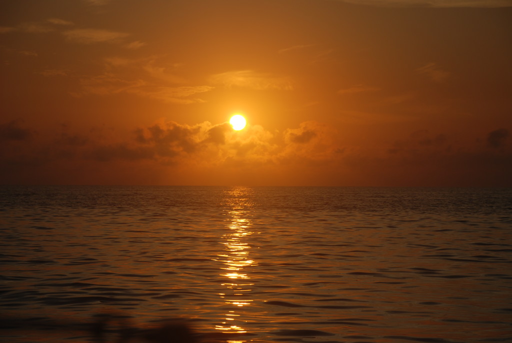
Sunrise on Exuma Sound yesterday:
DSC_0015
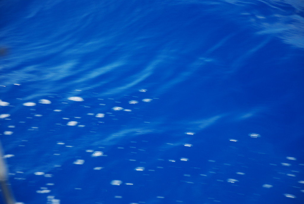
I still marvel at the color of the ocean when you get off shore. Here is an example of the water at about 4,000 feet deep:
DSC_0021
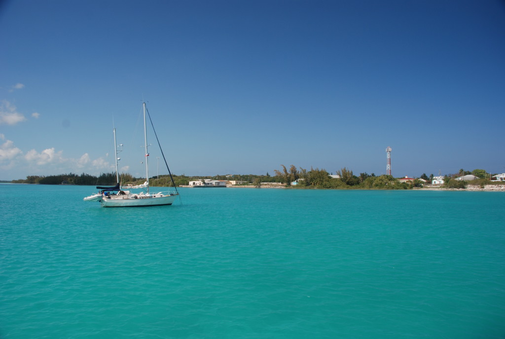
A couple of pictures of the town at our anchorage in Rock Sound (including Sophia Jeanne):
DSC_0027
DSC_0026

We had really spotty internet access in the Exumas this year. I think something was wrong with the cellular data service while we were there. We should have good access from here on out, which will help with the blog!! Thanks for following us.

Back to Cambridge Cay and on to Big Majors Spot

3/29/17
Big Majors Spot, Exumas, Bahamas
Position: 24 11.143N, 076 27.549W
Posted by Bill

Since we only stayed at Cambridge Cay one day and lucked out getting a mooring in Warderick Wells for the bad winds, we decided to go back to Cambridge for some snorkeling. One note about the weather we waited out. It turned out that it was a serious low that was being watched for tropical storm/hurricane possibilities. It was nasty winds over 35 knots for several days. Glad we were in a protected area.

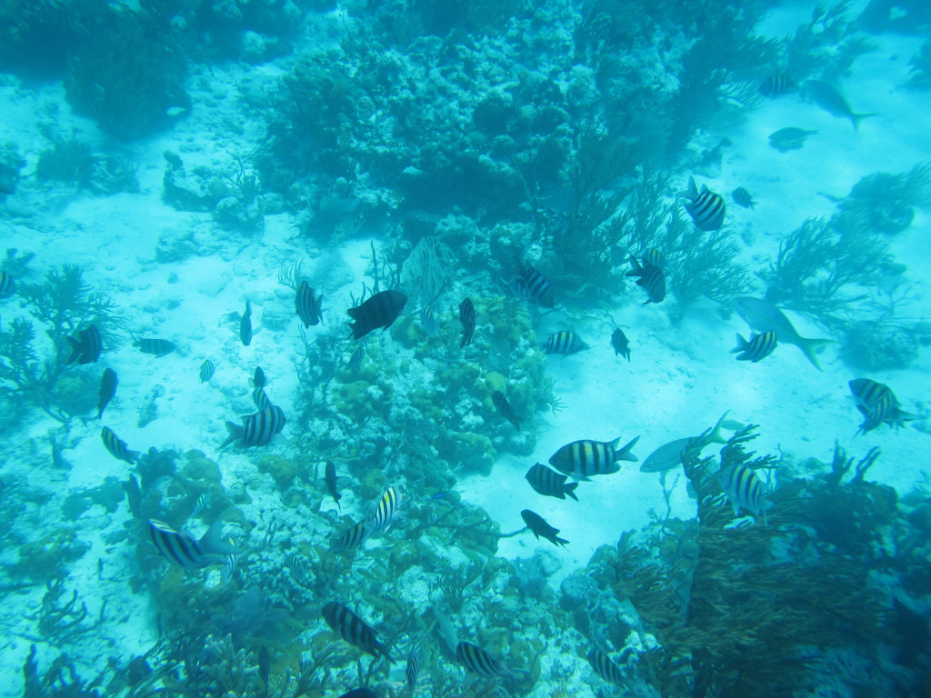
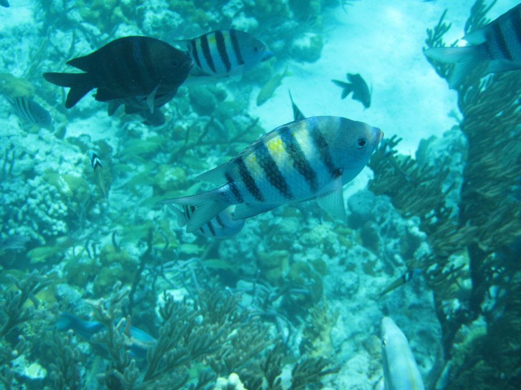
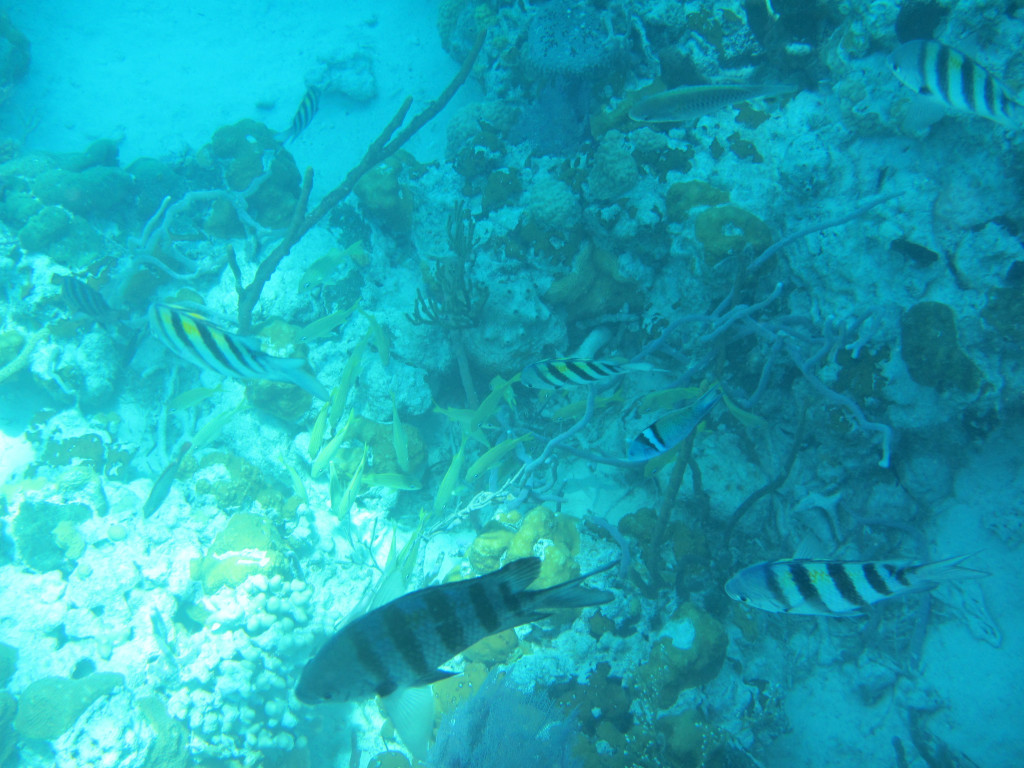
There were 4 areas around Cambridge that we wanted to go see: a snorkeling spot called the Sea Aquarium, a plane wreck to dive, underwater caves at the Rocky Dundas, and a swimming hole called the Bubble Bath. We picked up the same mooring that we had the last time we were here, arriving on 3/27. The next day we hit the Sea Aquarium. It was appropriately named as it was like snorkeling in a large aquarium. More pictures courtesy Sofia Jeanne:
IMG_5803cmp
IMG_5804cmp
IMG_5808cmp
IMG_5815cmp
IMG_5816cmp
IMG_5818cmp
It was great snorkeling, until the hordes of tour boats arrived, dumping boat loads of adults and kids who did not know how to snorkel. They were splashing all around scaring the fish (who would come right up to you if you just floated there), and standing on the coral (which kills it). We ended up leaving a bit sooner than we wanted and went over to the plane wreck:
IMG_5826cmp
IMG_5830cmp
We tried to go to the caves, but the water was too rough to get close to them, so we settled for some wallowing at a deserted beach.

We left the next day and stopped at the Bubble Baths on Compass Cay. We almost missed it because we could not get the anchor to set properly. After the 3rd try we had it good enough for a couple of hours. The Bubble Bath is a tidal pool that is fed by the ocean at mid to high tide. The water splashes over the rocks and creates a frothy surface on the water. It was very cool:
IMG_5900cmp
Tricia and I enjoying the bath:
IMG_5903cmp
IMG_5912cmp

From there we headed over to Big Majors Spot. We needed to get some fuel and dispose of trash before the next leg of our trip. Big Majors is a dinghy ride to Staniel Cay. Sofia Jeanne stopped at Staniel and topped up on fuel and water and then we anchored at Big Majors. Big Majors is the home of Pig Beach and although we didn’t stop at the beach this time, Shirley got some pics:
IMG_5938cmp
IMG_5945cmp

Staniel is a hot spot for big yachts. Many anchor at Big Majors. Most people want to eat at Staniel Cay Yacht Club, so the place is usually full of tourists and big yacht people. It creates a vibe that is not consistent with the Exumas, unfortunately, many are arrogant and full of themselves. We didn’t come to the Bahamas to hang with those folks, so this is not one of our favorite places. They also launch their wave runners and power boats and buzz through the anchorage at full speed, rocking and rolling everyone…not cool. They do clean fish right outside the yacht club and there are always a lot of sharks. People were swimming with them…idiots!!!
IMG_5957cmp
I usually refer to this type of behavior as “the thinning of the herd”.