Monthly Archives: May 2016

Back home in Southport

5/22/16
Southport NC
Position: 33 55.089N, 078 01.719W
Posted by Bill

On the 18th, we upped anchor and headed for Myrtle Beach. We had the current with us the entire day and made fantastic time, so we blew past Myrtle Beach and anchored at the Little River Inlet on the North Carolina border. Position: 33 52.351N, 078 34.205W

The next day we only had to go 33 statute miles to Southport. We had several shoal areas to transit, including the last inlet on the trip: Lockwoods Folley Inlet. I read several comments on Active Captain about the inlet and the gist seemed to be: When you get to the inlet, ignore a red buoy and head far to the left to have deep water. We got the the inlet at almost dead low tide, and as I started to move to the far left, we ran up on a sand bar. I was able to back off and get back to deep water, and we decided not to ignore the red buoy, and go around it before we went far left. No problems after that. I am still not sure how I misinterpreted the Active Captain comments, but no one was hurt, including the boat, so all is good. We pulled into our slip at Southport Marina around 2:30 PM, concluding our cruising season. It was great to see all of our friends again, and Matt and Shirley threw a welcome home party last night at their new house (which is absolutely amazing). Matt made a mexican feast and everyone partied heartily. We have also hit some of our favorite places already…like Provision Company. Here we are with Mark and Jan, and Matt and Shirley:
13244795_1110588472338306_7197253812563615961_n

We will be traveling back to Ohio a couple of times this summer. I also have a 2 page list of projects that need to be completed before we go south again in the fall, so we will be pretty busy.

This cruising season, we traveled 2,216 nautical miles, 2,551 statute miles. Since we started cruising, we have traveled 5,699 nautical miles, 6,560 statute miles.

Wrap up in Charleston and on to Georgetown

5/17/16
Georgetown SC
Position: 33 21.961N, 079 17.424W

On our last day in Charleston, we did something we never do…sightseeing like a tourist. We took the water taxi across the Cooper River to Patriots Point and went to the aircraft carrier tour. It included the carrier, a destroyer ship, a Vietnam war display, and a submarine. It was very cool and we are glad we did it. Then we took the water taxi back over to downtown Charleston and had a late lunch at the Griffen, a bit of a dive bar, but the food was great. After several bar stops, we headed back to the boats and the next morning headed up the ICW. We made good time as the tide was with us most of the way and we stopped in Georgetown for the night. Charleston was fun as always, and it was fun to show Mark and Jan the city.

The Griffen:
IMG_2312
IMG_2311

The aircraft carrier:
IMG_2293
IMG_2292
IMG_2288
IMG_2309

Ahhh…Charleston

5/15/16
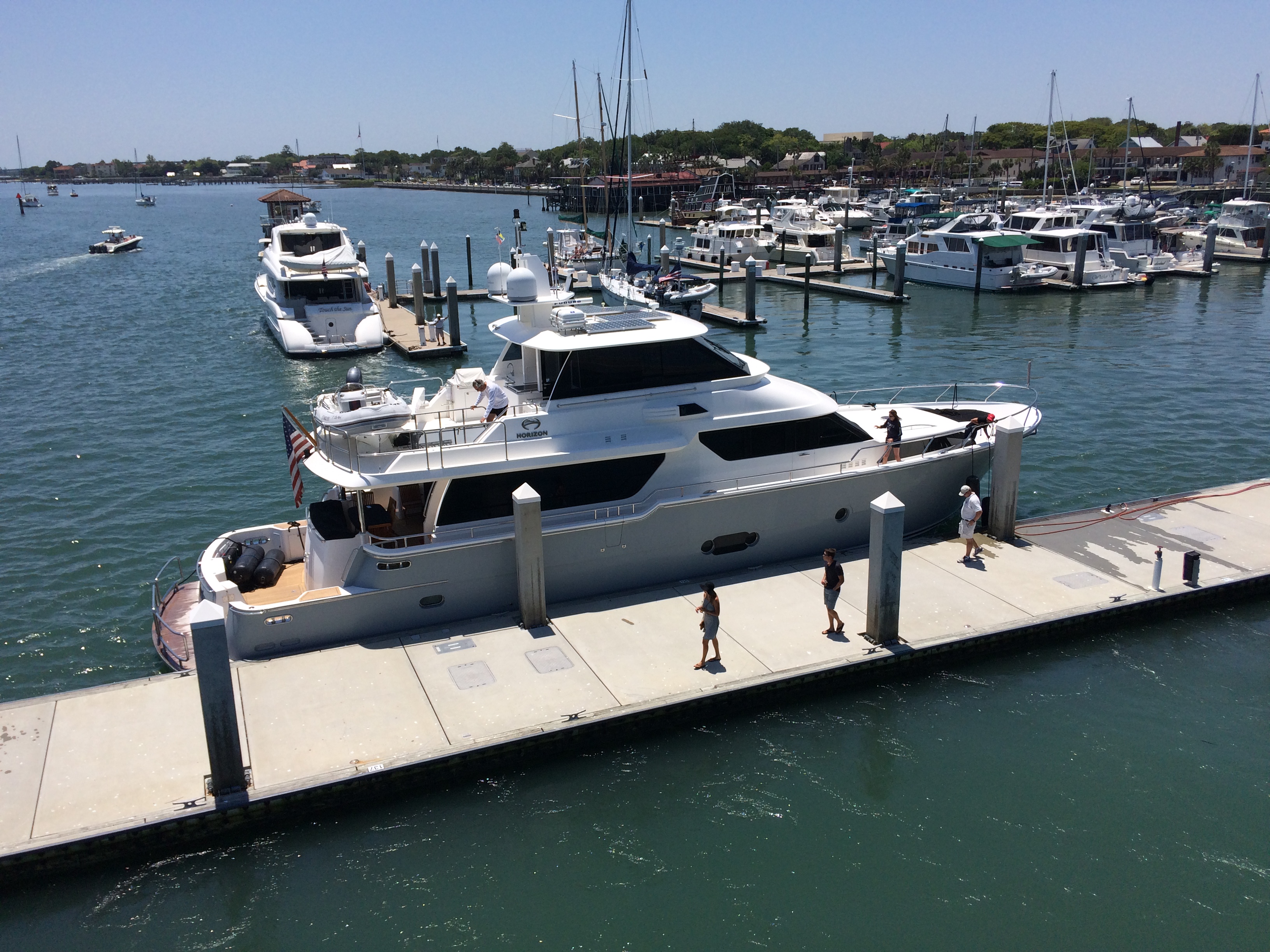
Charleston Maritime Center, Charleston SC
Position: 32 47.355N, 079 55.455W
Posted by Bill

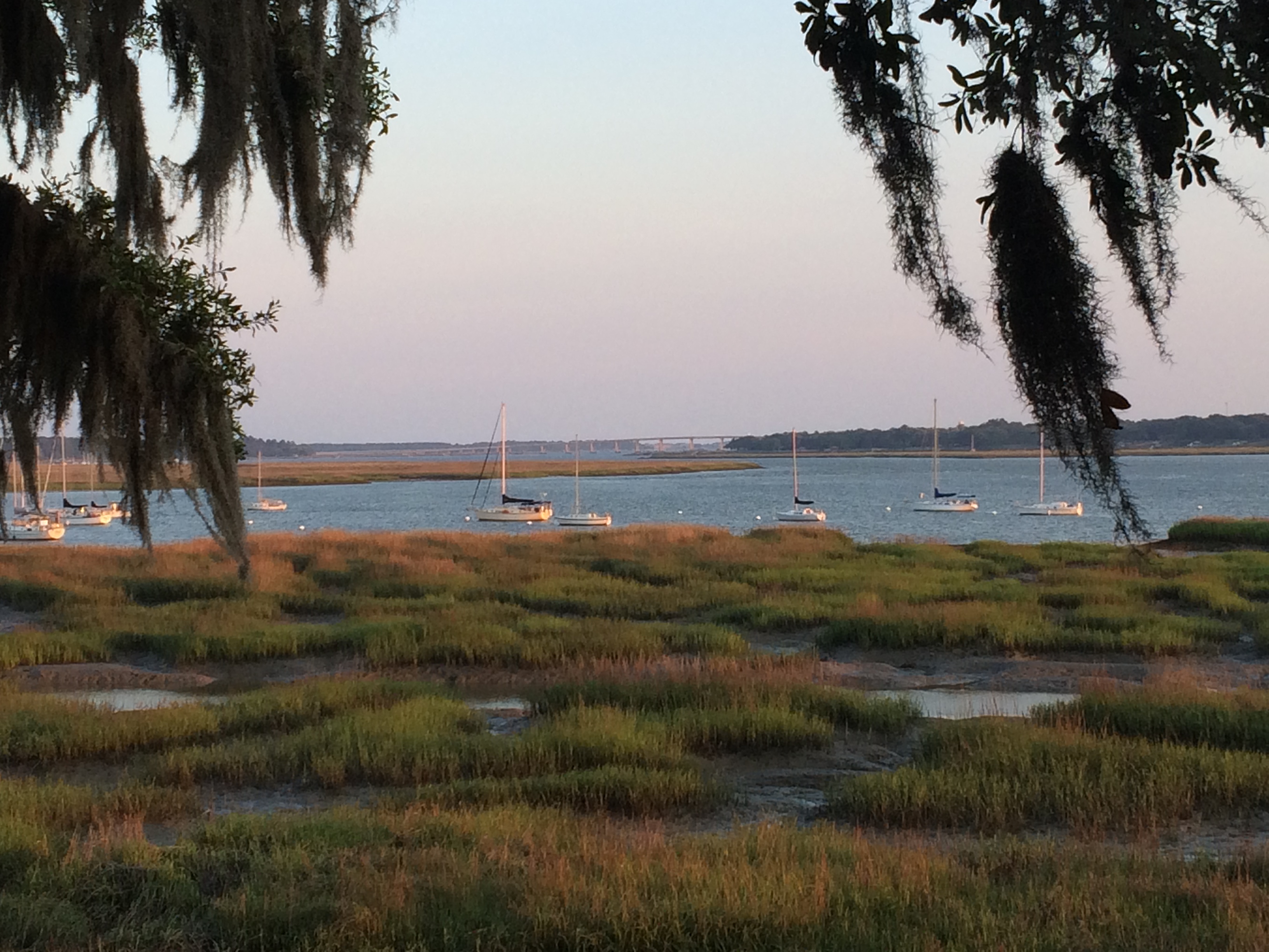
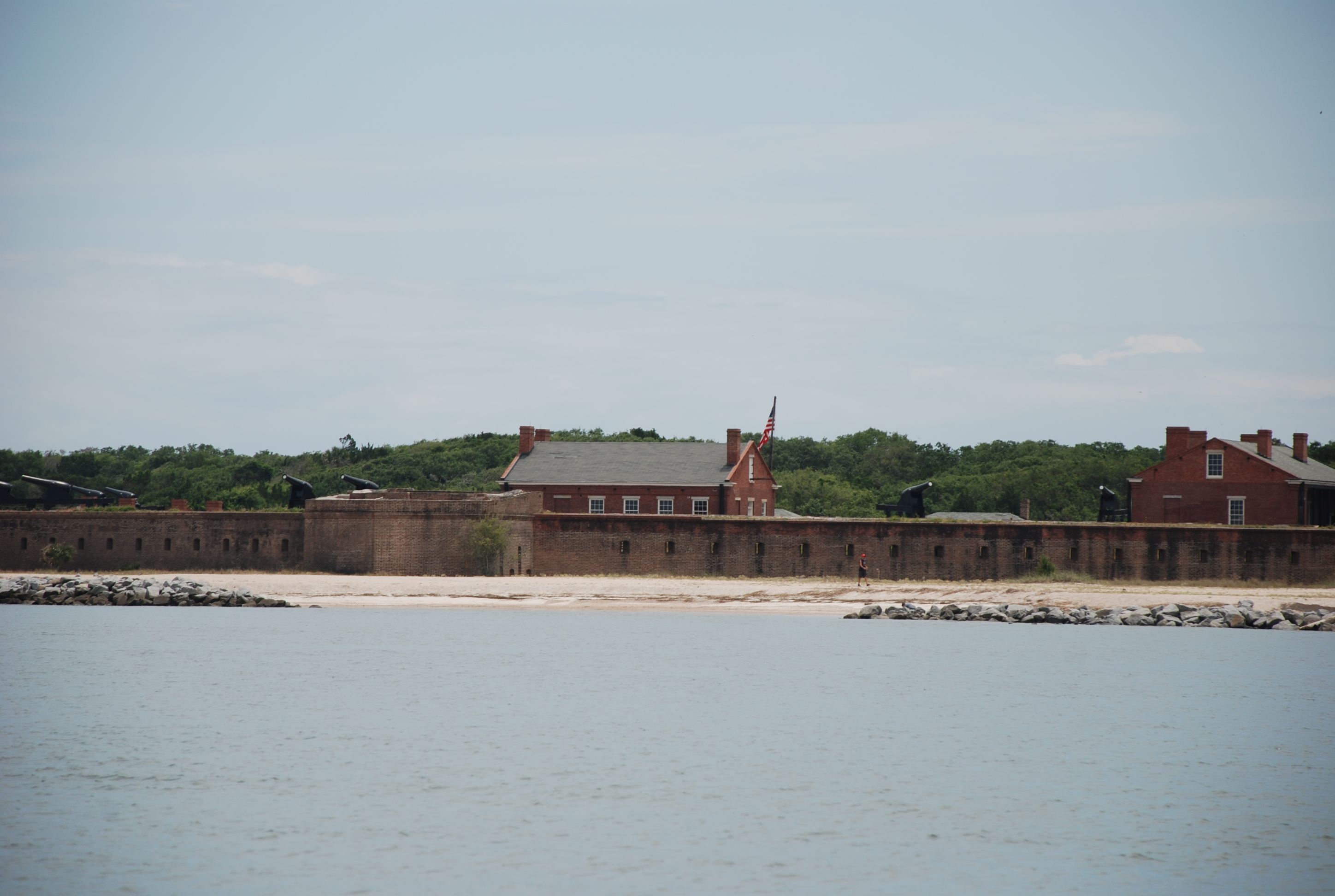
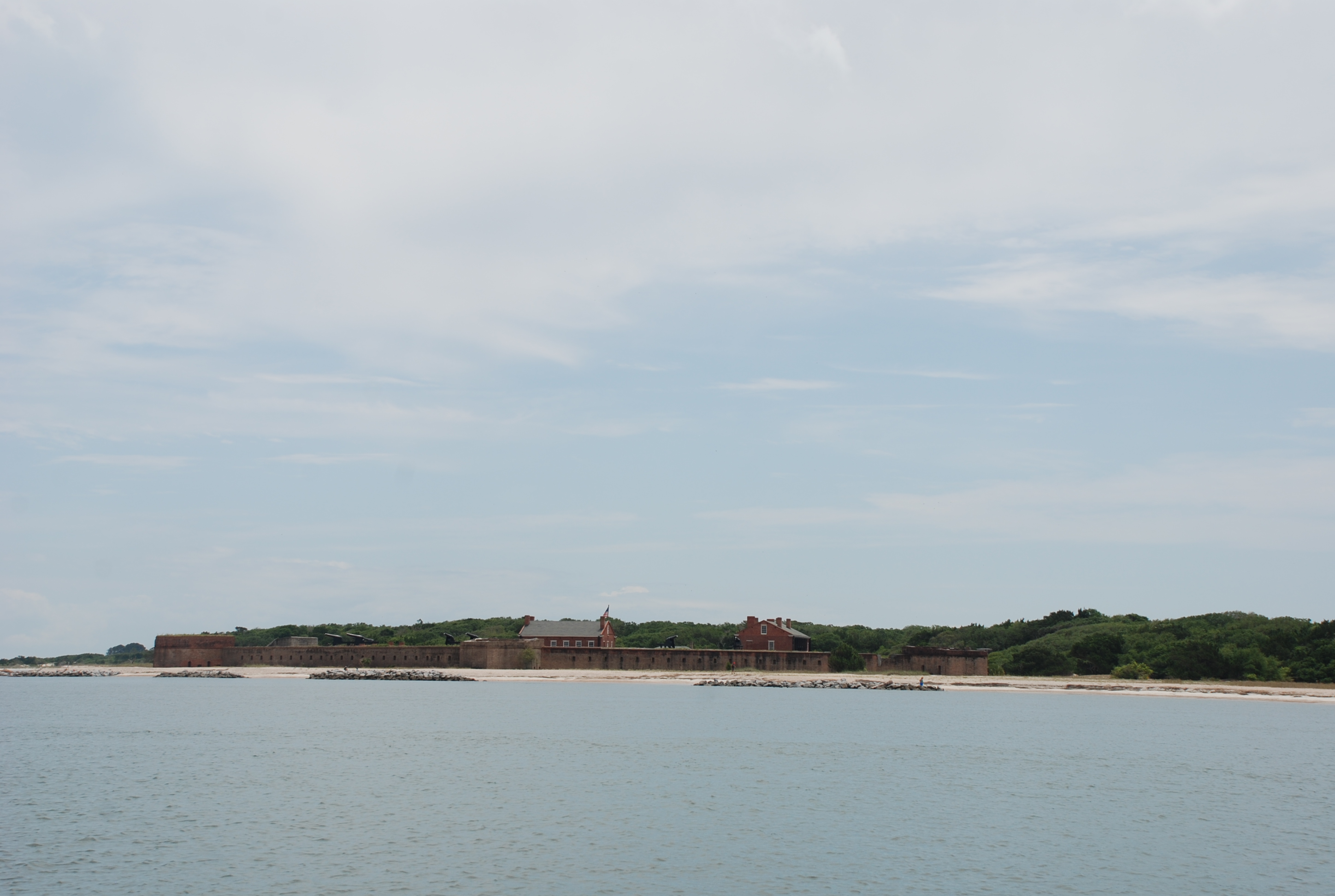
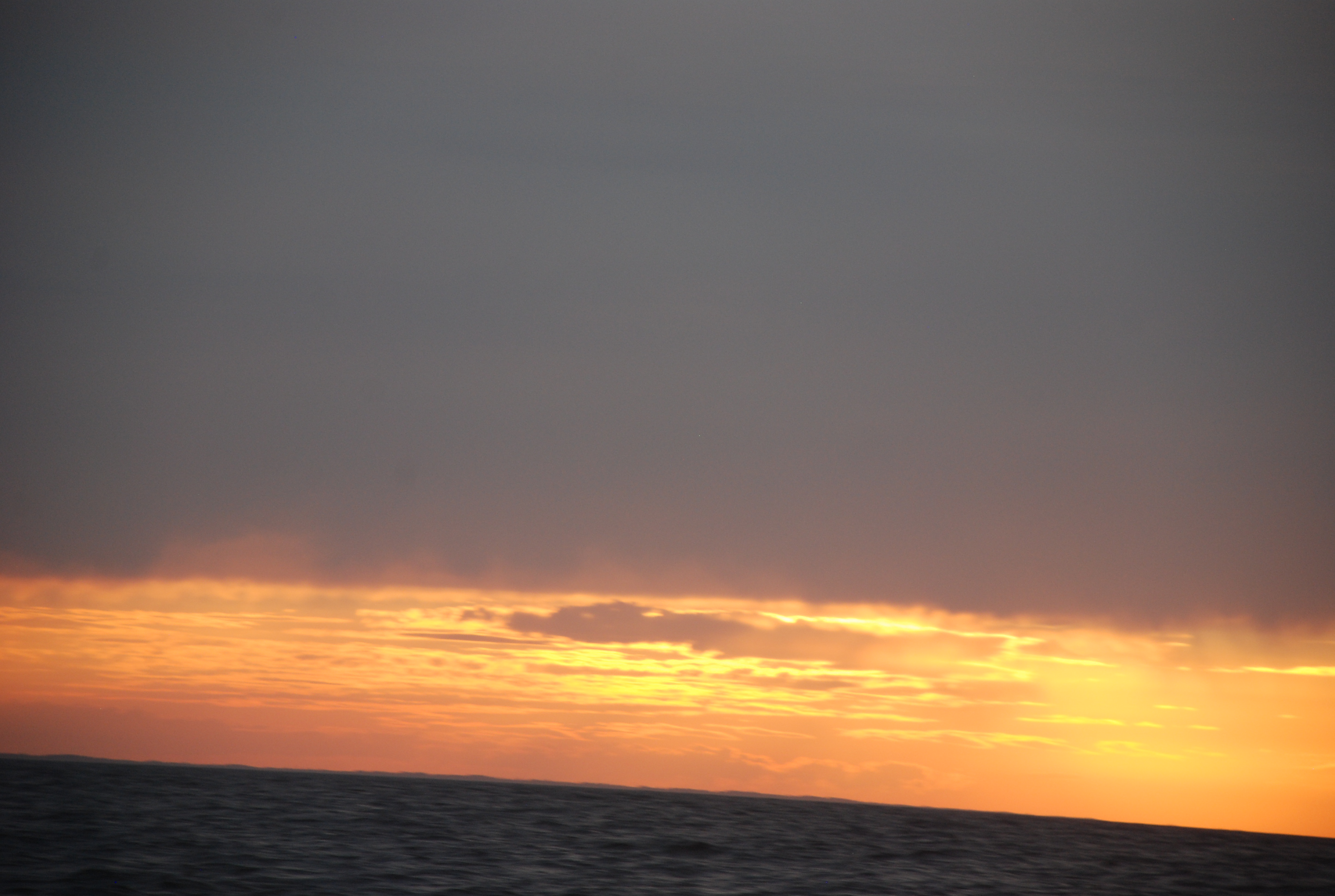
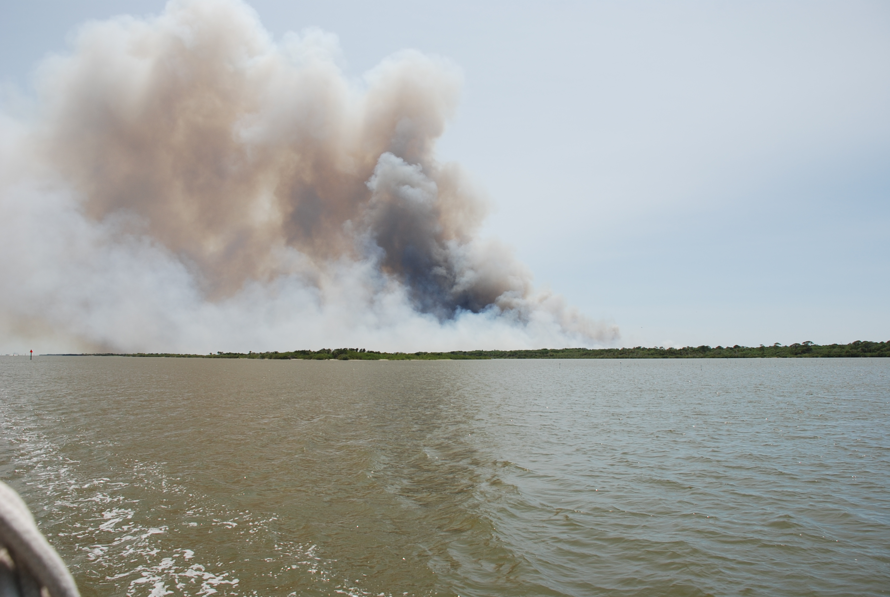
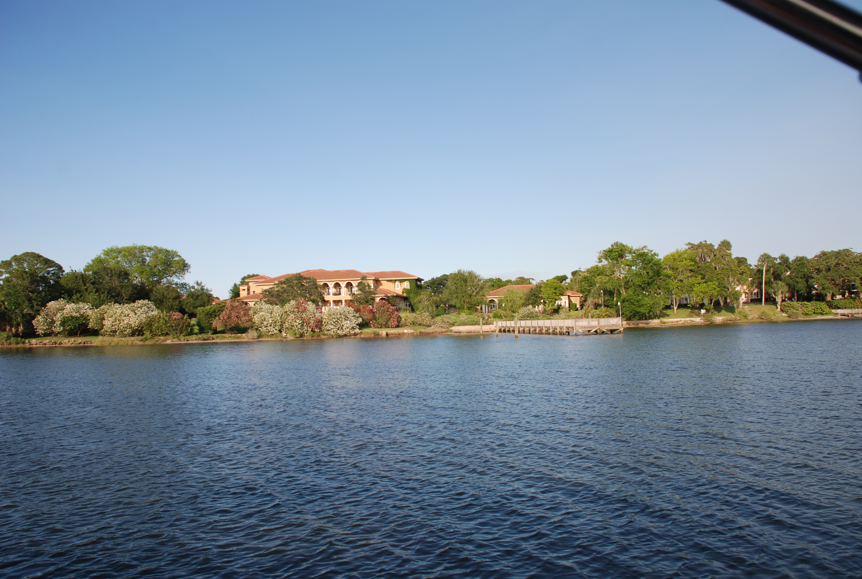
The ICW route from Beaufort to Charleston is one of the most scenic along the Atlantic ICW. It also has some really bad shoal areas, with depths below 5 feet at low tide, which is how much water we need to stay afloat. It takes some planning to figure the tides and currents into the route, and you have to make sure that you hit the shoal areas at the right time. Because of all of this, we knew we could not make it into Charleston in one day, so we planned several anchorages along the way as a staging point so we could arrive at our marina in Charleston at slack tide. The current runs very strong at all of the marinas in Charleston, and it is not much fun to try and dock in. We have seen several boats crash while trying. The other major factor in the route plan was the opening schedule of the Lady’s Island Swing Bridge next to the mooring field in Beaufort. It will open on request before 7AM and is closed from 7 to 9, and then opens on the hour and half hour until evening rush hour. We wanted to get through before 7, but that would mean that we would hit the first shoal area at low tide…not good, so we had to wait until the 9:00 opening. We hit all the shoal areas perfectly, with at least mid tide and rising. As we approached the target anchorage, the tide was with us but was going to turn against us. Fortunately, we started picking up the tide from the next inlet north, which made the tide favorable, so we kept going, and rode it all the way to Wapoo Creek, the furthest anchorage in our plan. Wapoo Creek is a short passage from the Stono River to downtown Charleston. It has a nasty tidal current and a lift bridge that we need to have opened. We anchored just outside the west entrance of the creek, in the Stono River at position: 32 46.087N, 080 00.315W. The reviews on the anchorage were all very positive and suggested the anchor holding was excellent. We did not find this to be true, and it took 3 tries before we felt like the anchor held…but it didn’t. We dragged around most of the night…not far…but just enough to keep me from sleeping. Most of the bottom is rock with a thin layer of mud, stones and shells. Fortunately, we had settled weather and only had to contend with the current changes in the river.

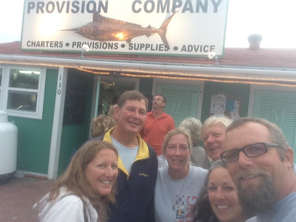
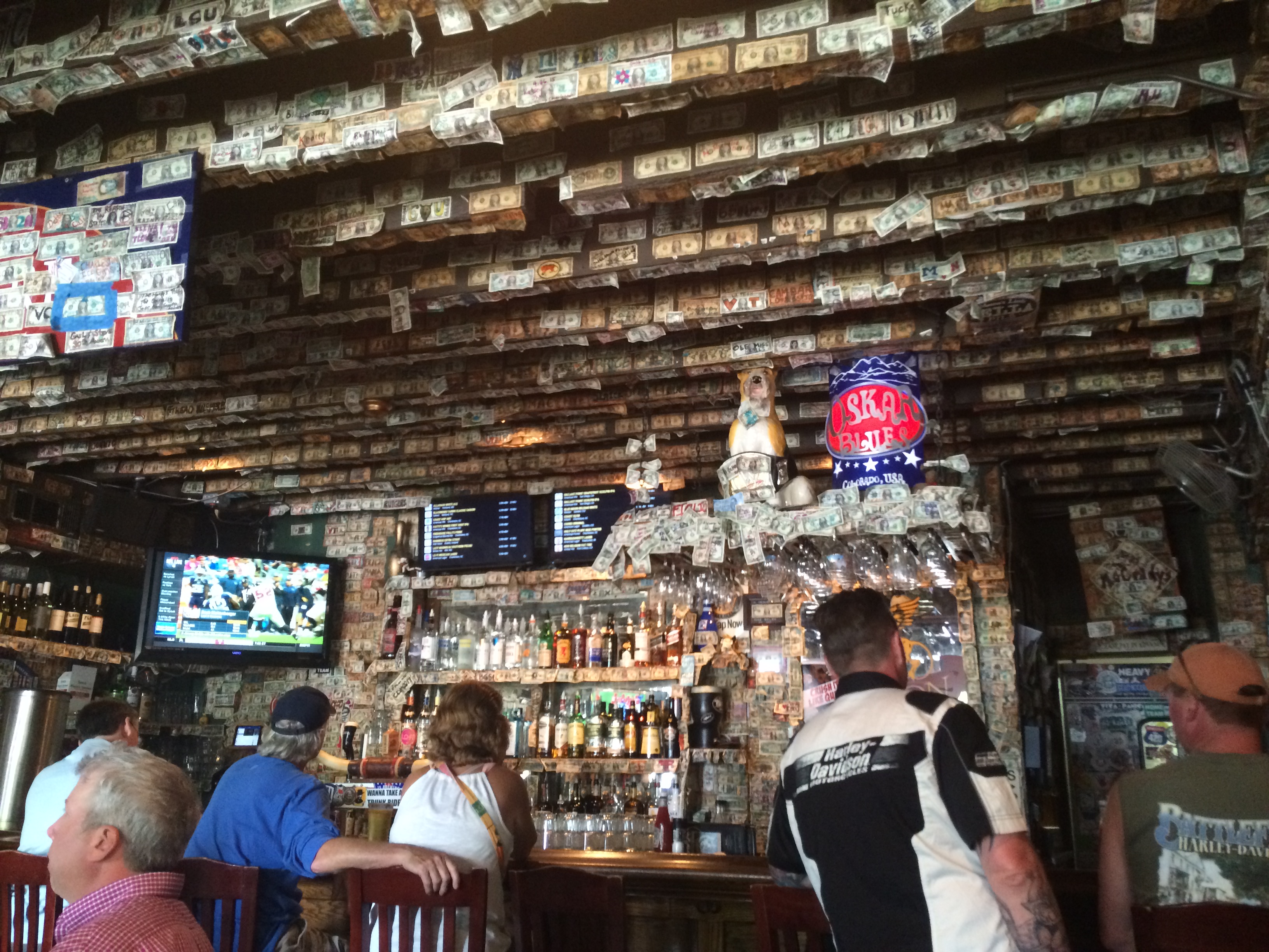
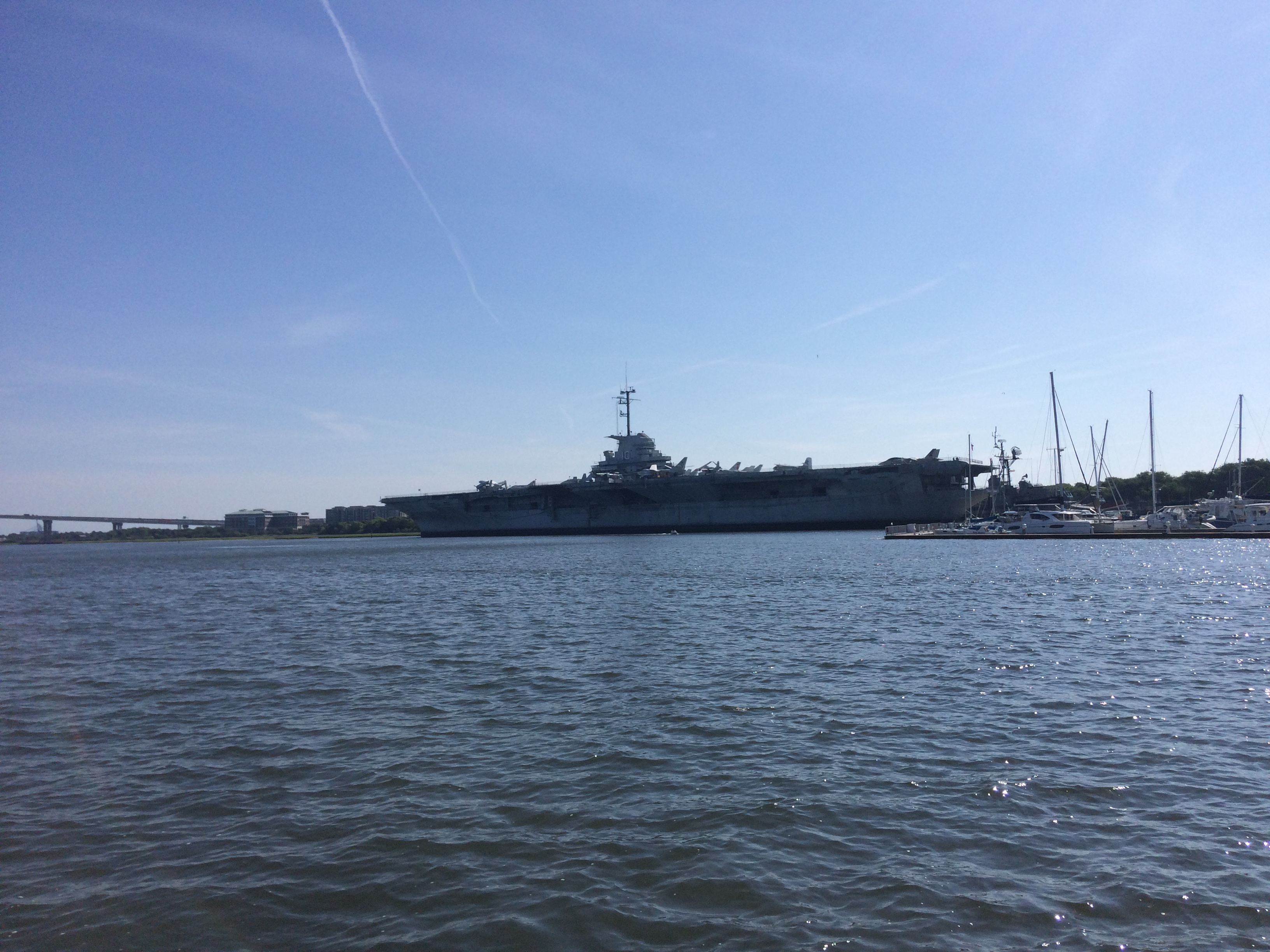
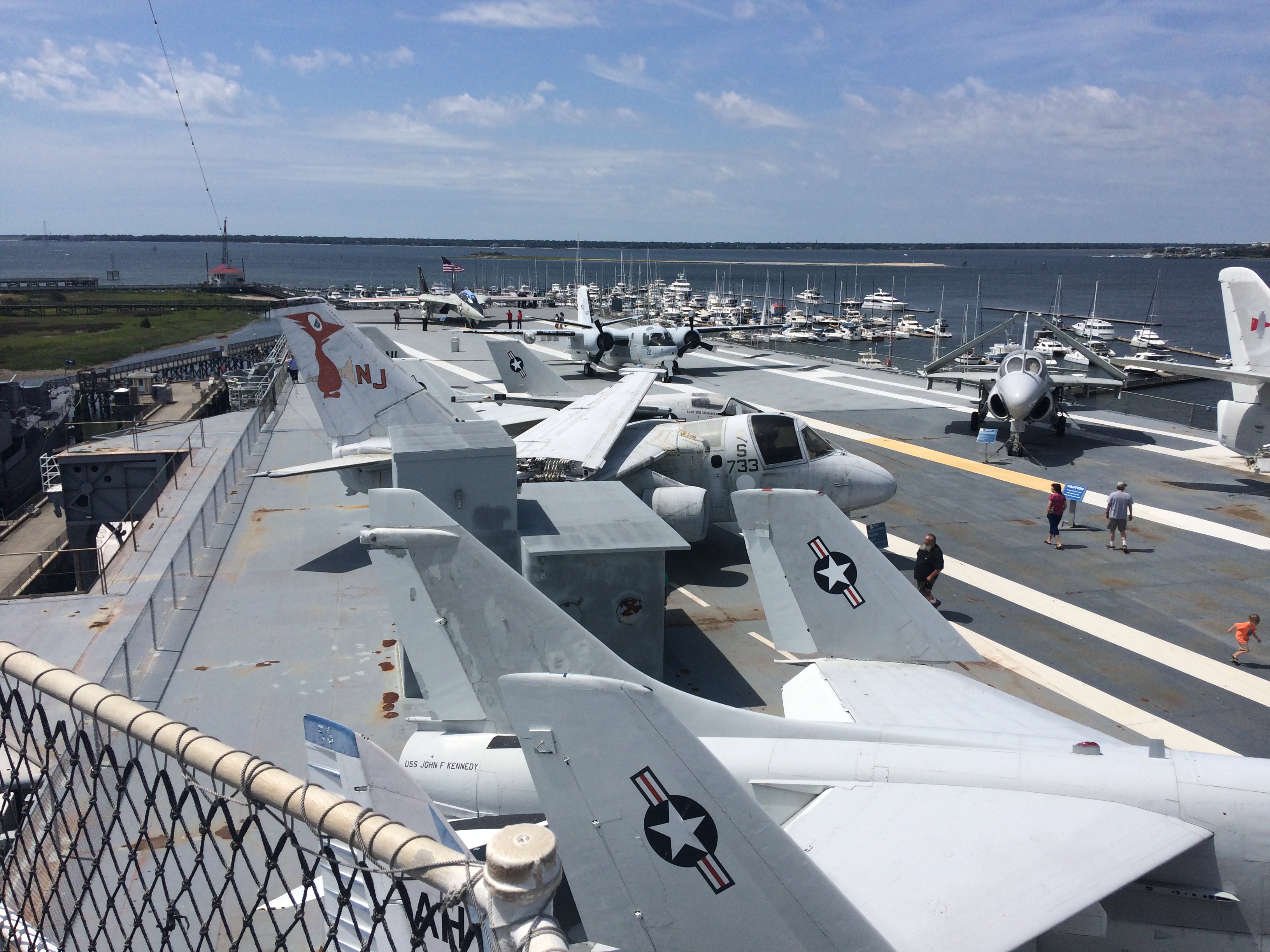
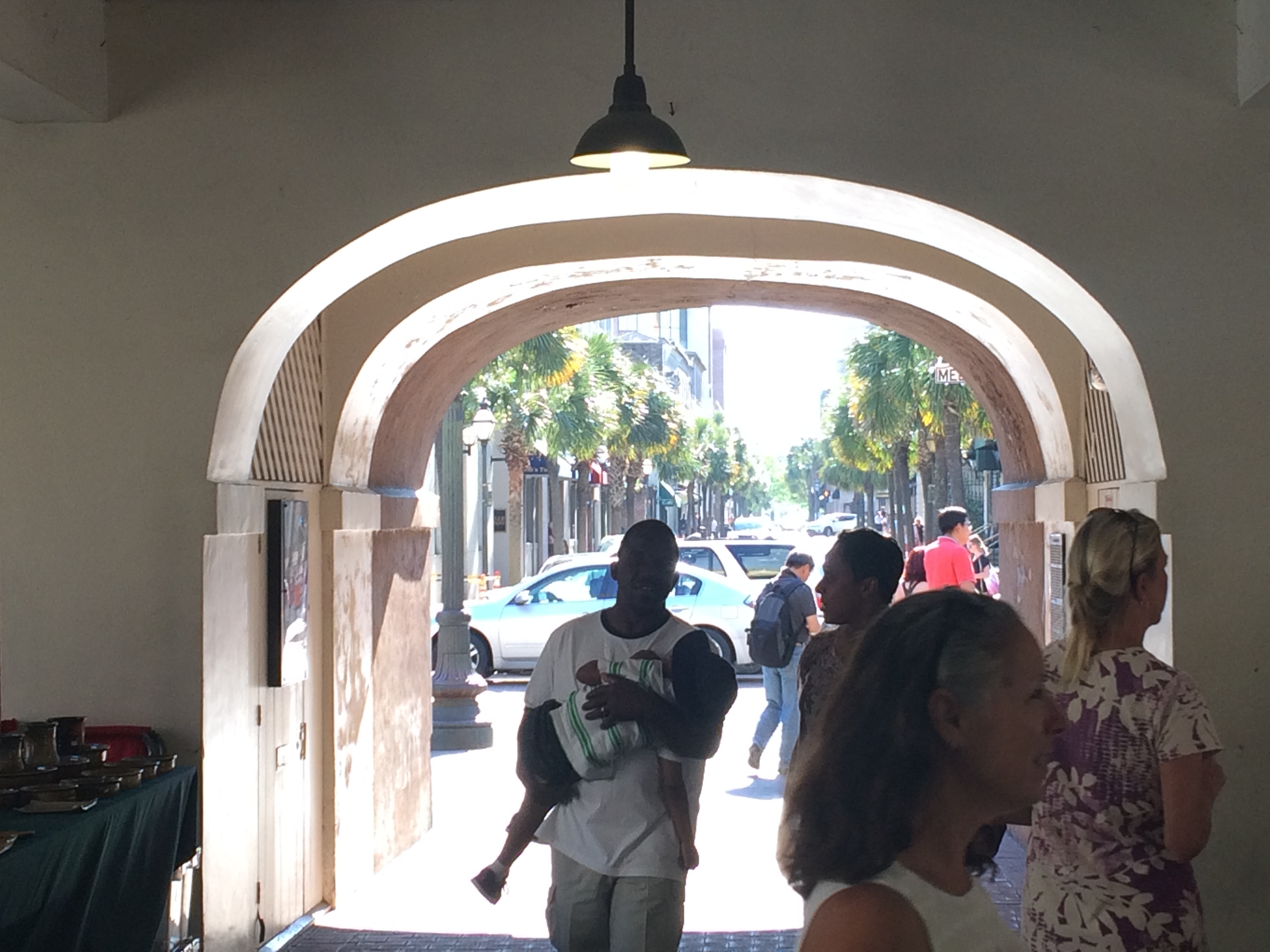
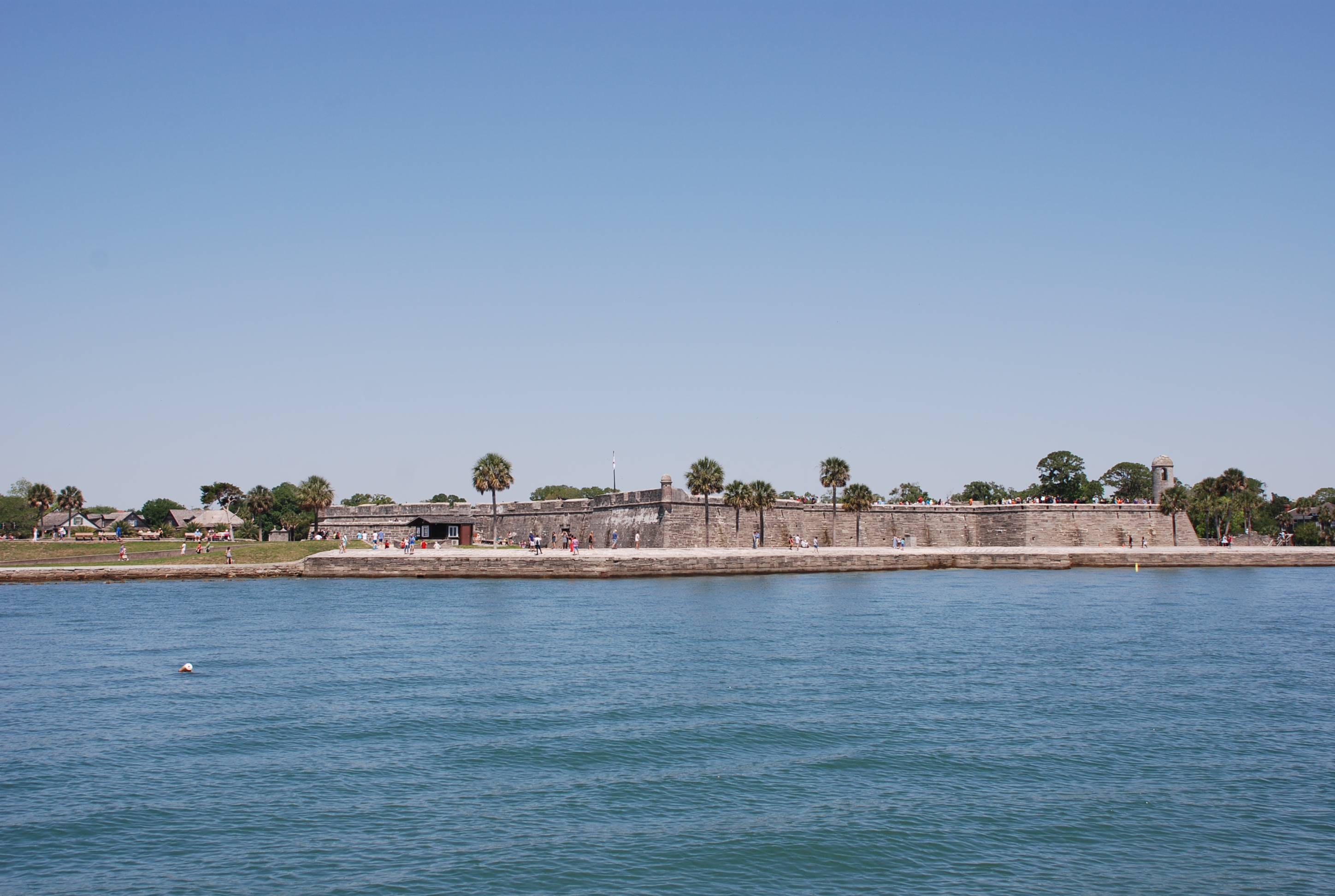
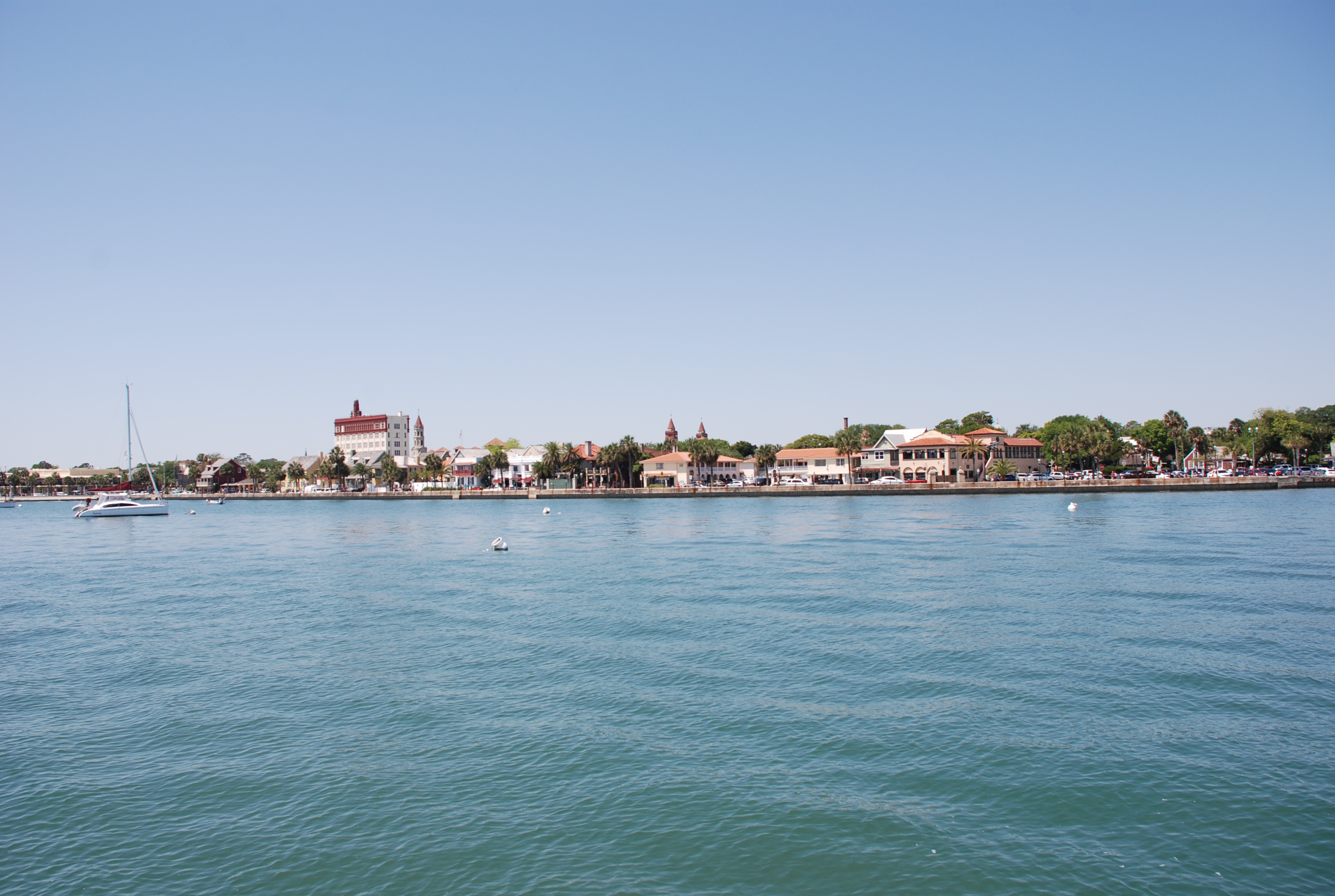
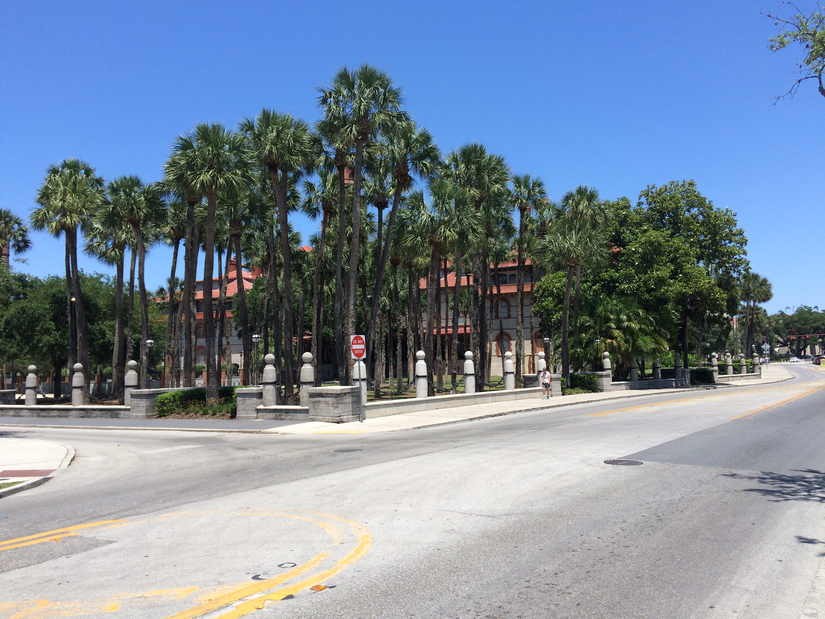
The next day we timed the opening of the Wapoo Creek bridge and slack tide at the marina perfectly. The winds were up so we were glad we didn’t have to also deal with the strong tidal currents while docking. We got into our marina around 10:30 AM, so we walked into town and checked out the farmers market, then grabbed a bite to eat for lunch. We really love this town. It is so vibrant and well maintained. The streets were full of people, mostly a younger crowd. There are literally hundreds of restaurants and bars within a few miles of walking. Mark and Jan had never been here before, so we tried to show them a good time, hitting King Street during the afternoon, and the market district in the evening.

Today we are doing some laundry and grocery shopping, cruising essentials, especially while we have the convenience of being tied to a dock. We have spend less than 7 days in a marina since we left Marathon FL on the 22nd of February, which we think is great! Tomorrow we plan to do some site seeing and then leave on Tuesday. It will probably take 3 days to get to Southport.

I have a couple of pictures to share, but if you want to see more about Charleston, enter charleston in the search box on the top, right of the blog home page. You can see lots of pictures and learn more about why we love this city in our previous posts.

Our boats moored on the Beaufort River:
IMG_2286

Shopping the market on Market Street:
IMG_2287

Fernandina Beach to Beaufort, SC

5/12/16
Beaufort, SC
Position: 32 25.822N, 080 40.618W
Posted by Bill

We left St Augustine and made it to Fernandina Beach without issue, grabbed a mooring ball and hit happy hour at The Crab Trap, and a burger at Tastys…yum. The next day we took on fuel and water, and left at 12:30, going out the St Mary’s inlet to the Atlantic Ocean. There is a really cool fort on the inlet:
DSC_0037
DSC_0038
There was a ton of shrimping boats just out the inlet. We sailed overnight to Port Royal Sound and up the river to Beaufort SC. We had some really good sailing for the first 8 hours, but the wind died and the sea state started slamming us from the side (beam seas). The waves were only about 3-4 feet, but the direction was horrible. When our boat is not under sail it is really really rolly in beam seas, and it was like getting slammed with boat wakes for 12 hours, not fun at all. We had to dodge many big ships coming into and out of the Savanah River just before dawn, and then hit the inlet to the sound just as the sun came up and the tide changed, in our favor. Total of 20 hours underway. We grabbed a mooring in Beaufort and had a late breakfast at Blackstones, one of our go-to places here, then collapsed and took a much needed power nap. Later we had dinner at the Old Bull Tavern, where they have good food and fantastic cocktails. We enjoyed several! Today was laundry day and tomorrow we head out for Charleston. We are planning to be in Charleston from Saturday to Tuesday, then the final 2-3 day leg to Southport…home!

Sunset on the Atlantic:
DSC_0078

Vero Beach to St Augustine

5/8/16
St Augustine FL, ICW
Position 29 53.720N, 81 18.590W
Posted by Bill

We waited 2 extra days in Vero Beach due to a forecast of high winds and storms. We didn’t want to deal with the high winds in the open areas of the ICW in the Titusville area, and Vero is a hard place to leave. One day, we took several buses to Walmart. It is always fun to interact that closely with the general public and we saw some crazies. On the 5th, we finally took off and stopped in Cocoa FL, position 28 20.963N, 080 43.180W. I ran ashore real quick to mail some Mother’s Day cards, and then Mark and Jan came over to our boat for Cinco de Mayo. Jan brought a dip for tortilla chips, and they also brought stuff to make Mexican Hipsters, the new drink we discovered in Spanish Wells, Eleuthera, Bahamas. Mark had made the jalapeno infused tequila and it was really HOT! We used some of our un-infused stuff to tone it down. Tricia made pork enchiledas, and a good time was had by all. The Hipsters are the bomb!
IMG_2272

The next day we took the ICW to Daytona Beach and anchored just south of the Memorial Bridge, position: 29 12.443N, 081 00.391W. On the way there we cruised right next to a pretty big wild fire south of New Smyrna Beach:
DSC_0006
It was really getting bad as we went by. We anchored behind this house:
DSC_0010
It was a nice, quiet place to stay for the night. The next day we made it to St Augustine, another one of our favorite places along the trip route. We grabbed a mooring in front of the fort and the downtown area:
DSC_0014
DSC_0015
We bummed around for a couple of days, hitting our favorite places, and finding a new one – The Tini Martini Bar, right in front of our boats. St Augustine is very picturesque and the weather was great for walking the city:
IMG_2278
IMG_2279
There sure are a lot of crazy people in St Augustine. I just kept thinking of the words to Jimmy Buffet’s Fruitcakes song, imagining that he got some inspiration for it here.
Today we were walking across the Bridge of Lyons and saw this yacht come in to dock.
IMG_2277
The current runs very strong here and it was running from top to bottom of the photo. We watched this guy try to dock this thing in the slip across (towards the top of the photo) from where he ended up. The current grabbed him and slammed the swim platform against the dock he is now on, then slammed the boat sideways into the dock. Trying to leave that dock and get to where he was supposed to be, he raked the side of the boat across the dock and concrete pilings several times. He just kept trying to no avail. Why he didn’t just stop and wait for slack tide, we just don’t know. He messed that boat up bad. It was obvious that his skill level was below the requirement to handle that yacht. We could have voted an Ass Captain award to him, but we felt bad for him.

Tomorrow we move on to Fernandina Beach.

Back in the USofA

5/2/16
Vero Beach, FL
Position: 27 39.257N, 080 22.280W
Posted by Bill

I forgot to mention in the last post, that when we arrived in Allans/Pensecola Cay, we passed the 5,000 nautical mile/5,754 statute mile mark since we left to go cruising 2 years ago. I am not sure how exciting that is for anyone but me, but it was a milestone for me.

On the 28th, we left Allans/Pensecola and stopped at Great Sale Cay, a great place to stage to go back to the States. The holding is great, there is lots of room for boats, and the protection from wind and seas are excellent, except from the south or west. We just hung on the boat, trying to relax for the 2 day trip back to Florida and getting the boat ready for offshore passage. One thing that was a must do was the prop shaft packing gland adjustment. We had been getting more than normal water levels in the bilge for awhile, nothing major, and it wasn’t getting worse, and I isolated the source to the packing gland, so I kept putting it off. It isn’t hard to adjust, but we have to take all of the stuff out of the aft berth, a.k.a. the garage, to get access to it…a major pain in the butt. The prop shaft packing gland is the point at which the propeller shaft goes through the back of the hull and into the engine compartment. There is an adjustment nut pushes packing material (goretex) tight around the shaft to keep the water from coming in. After time, due to wear, the nut needs to be adjusted to reduce the amount of water coming in. The water flow was getting worse the last couple of days, and I didn’t want an issue with it going across the ocean and Gulf Stream, so I bit the bullet while anchored at Great Sale. It is in a very tight space, and I had trouble getting my wrenches in there. Mark came over and helped, and we took care of business (thanks again Mark).

The next day we left Great Sale around noon and headed across the Little Bahama Bank to Memory Rock, a break in the reefs where the bank meets the Atlantic Ocean. The wind was so calm that the sea looked like glass. We were in 15 feet of water and you could see everything on the bottom in great detail:
DSC_0154
DSC_0144
DSC_0150
The starfish in the last picture was probably about 6″ wide. It was mesmerizing to just sit and watch the water go by. I also saw a couple of large sea turtles and a dolphin that checked me out from underwater, then surfaced behind us. It helped pass the time. By dark we hit the Memory Rock cut in the reefs and headed into the ocean. We took a heading of about 270 degrees to compensate for the north flowing Gulf Stream current. There were several large cruise ships and a tanker that crossed our path through the night so we had to keep on our toes. The winds were low and the seas were 2-3 feet…not too bad! As we got into the stream and up until we hit Florida, the wave period got to be really short and it was uncomfortable, but certainly not anything like some of our passages where we had large waves and a nasty sea state. We hit the Fort Pierce inlet around 9:30 AM and motored up to Vero Beach, one of our favorite stops on the ICW. The trip lasted just over 24 hours and 135 nautical miles.

Yesterday, we took a walk to the beach and hit some bars for rum runners and such. We met up with our good friends Hayden and Radeen on Island Spirit at Waldos, for some drinks and great people watching! Today we took the bus to get liquor and groceries. It was nice to have such a great selection of food and drink, something we missed while in the Bahamas. Now we are doing laundry and looking forward to the hamburger special at Mr. Manatees tonight for dinner. Tomorrow we start the trip north. If we travel the ICW (intracoastal waterway) everyday without stopping, we can be in Southport in 11 days, but we will stay a few days at our favorite spots like St Augustine and Charleston. We expect to be in Southport within 3 weeks time. We hope you will continue to follow along!