An Interesting Comparison

9/2/2024  –  Deep Point Marina, Southport NC  –  Posted by Bill

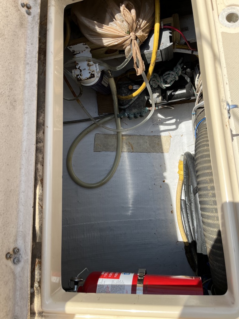
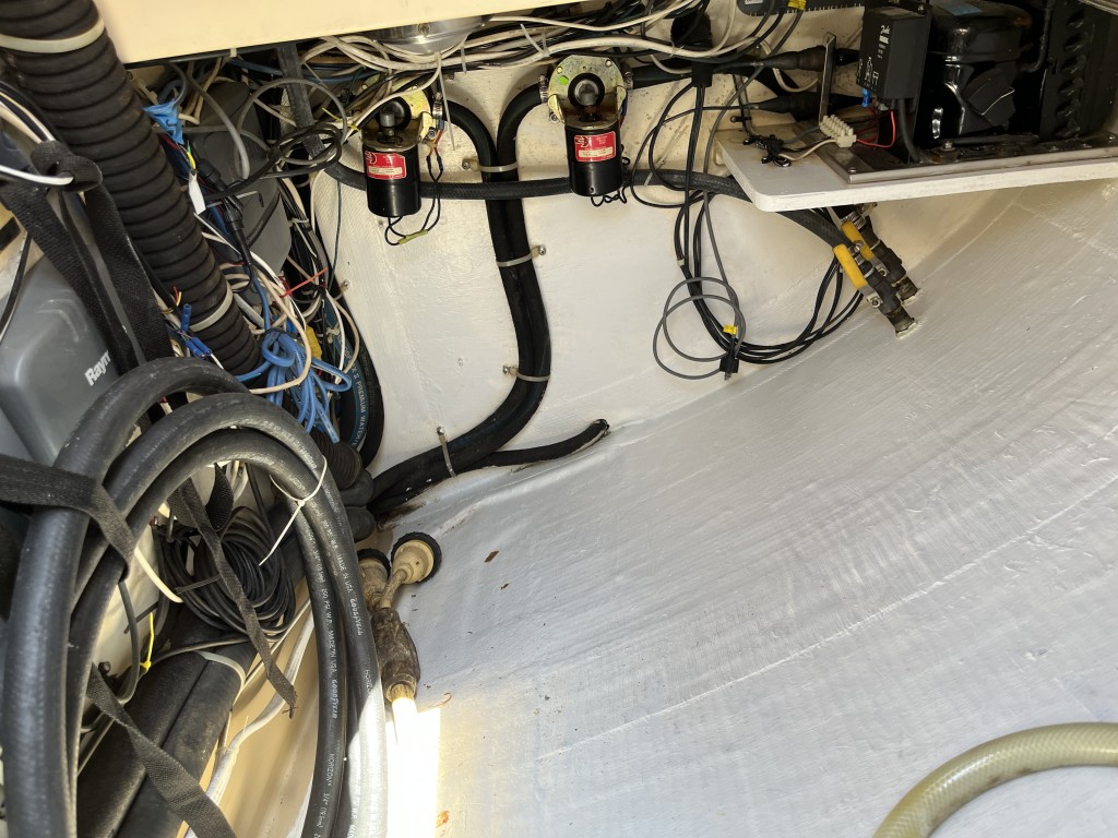
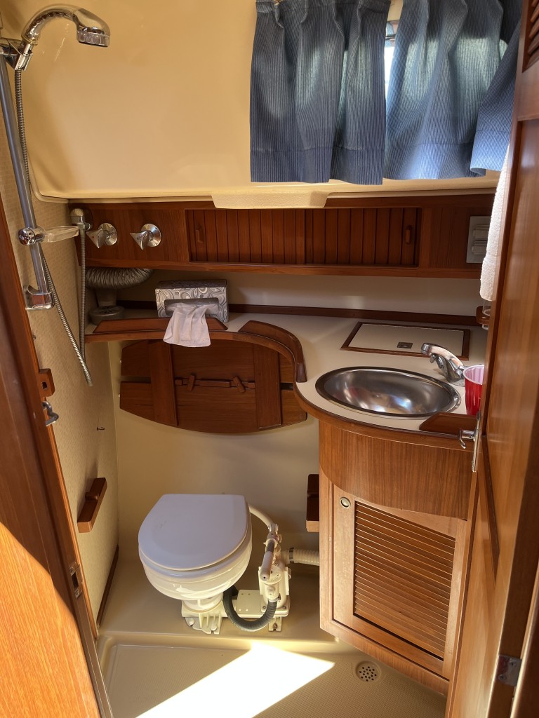
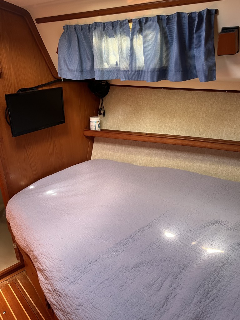
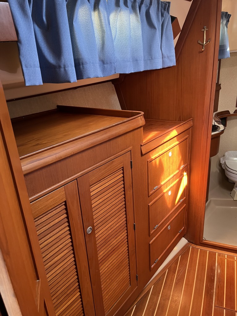
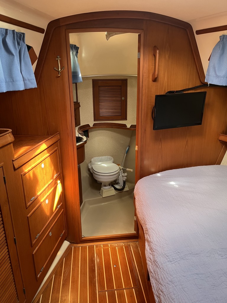
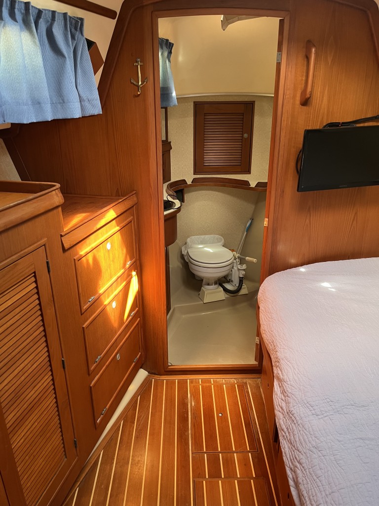
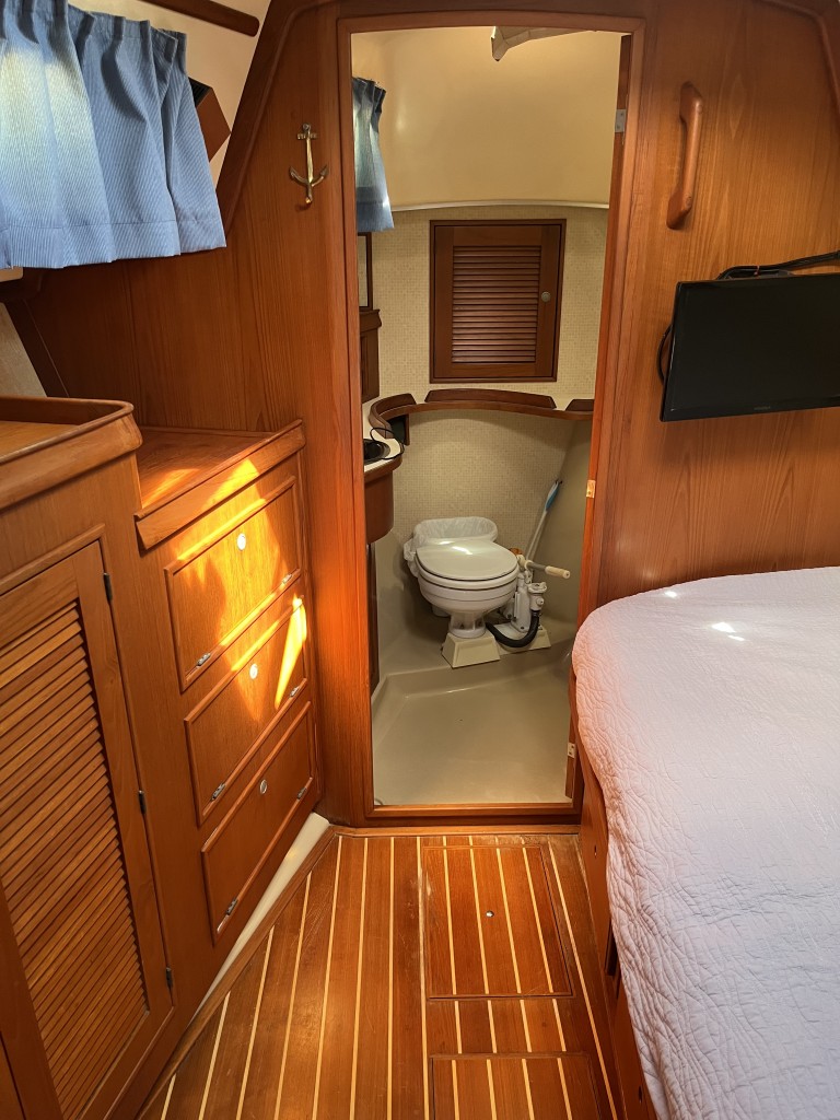
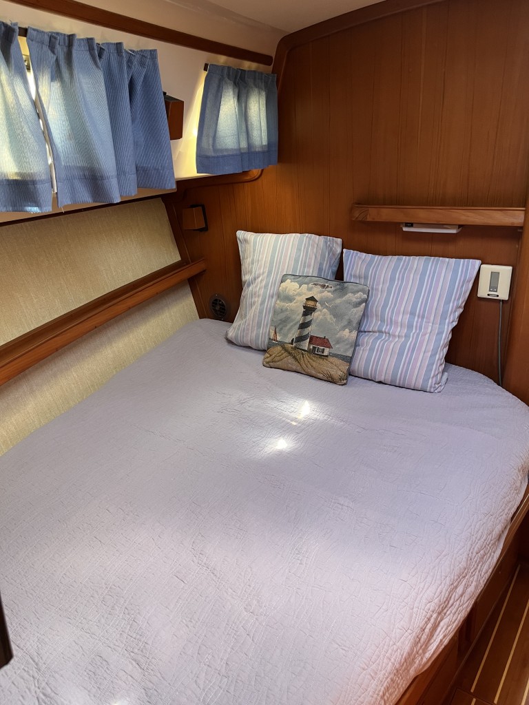
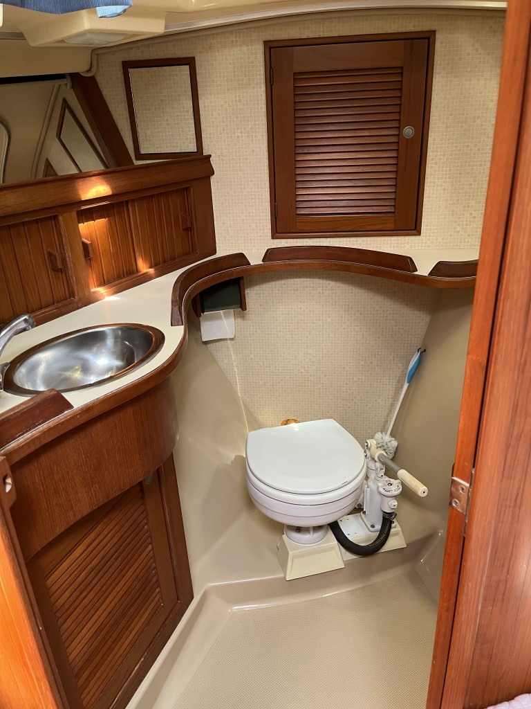
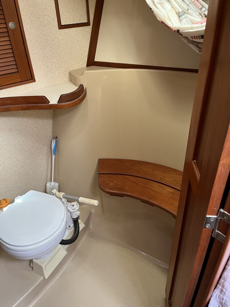
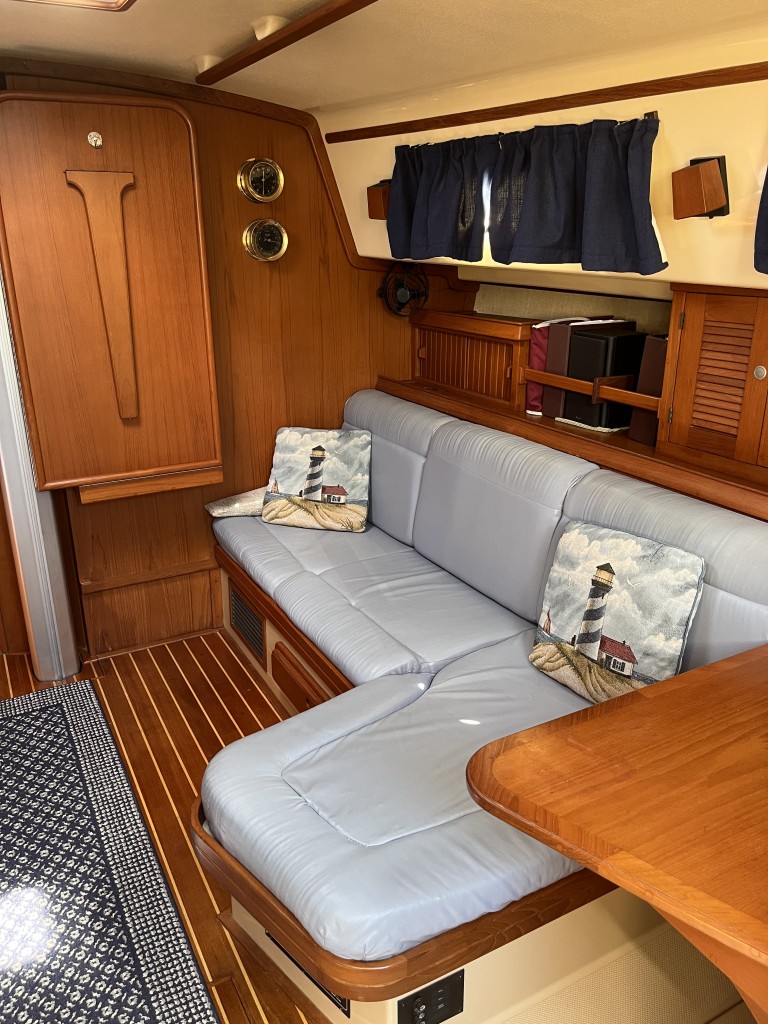
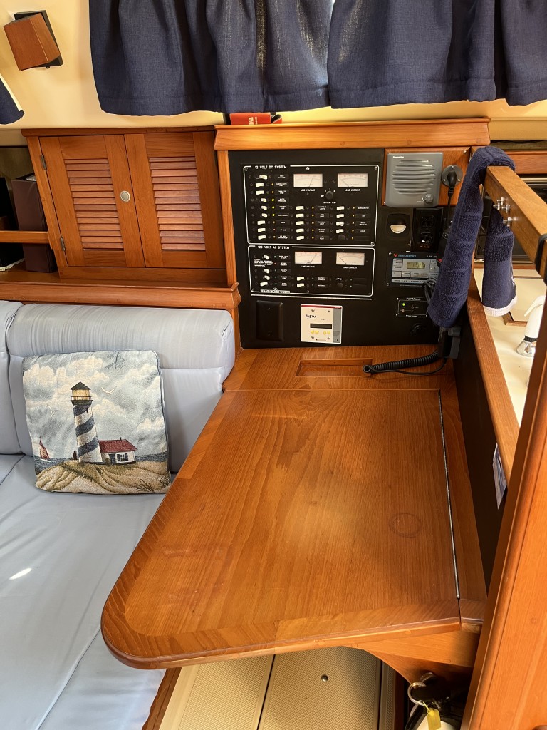
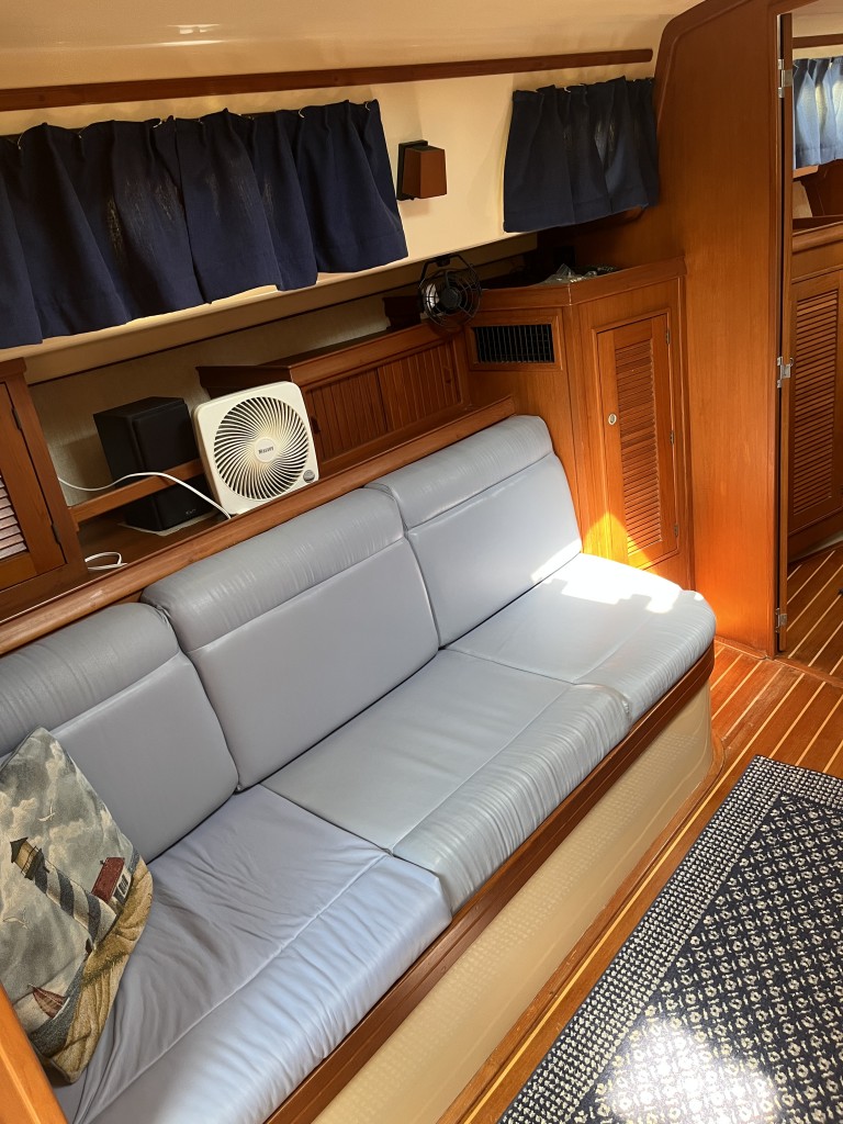
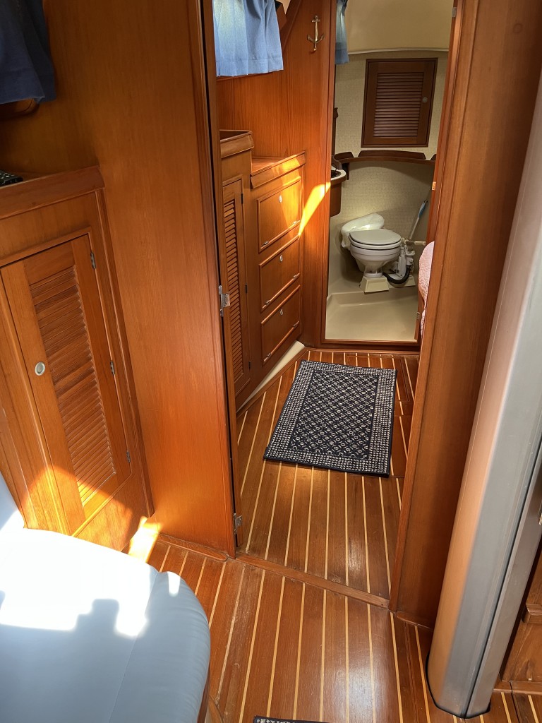
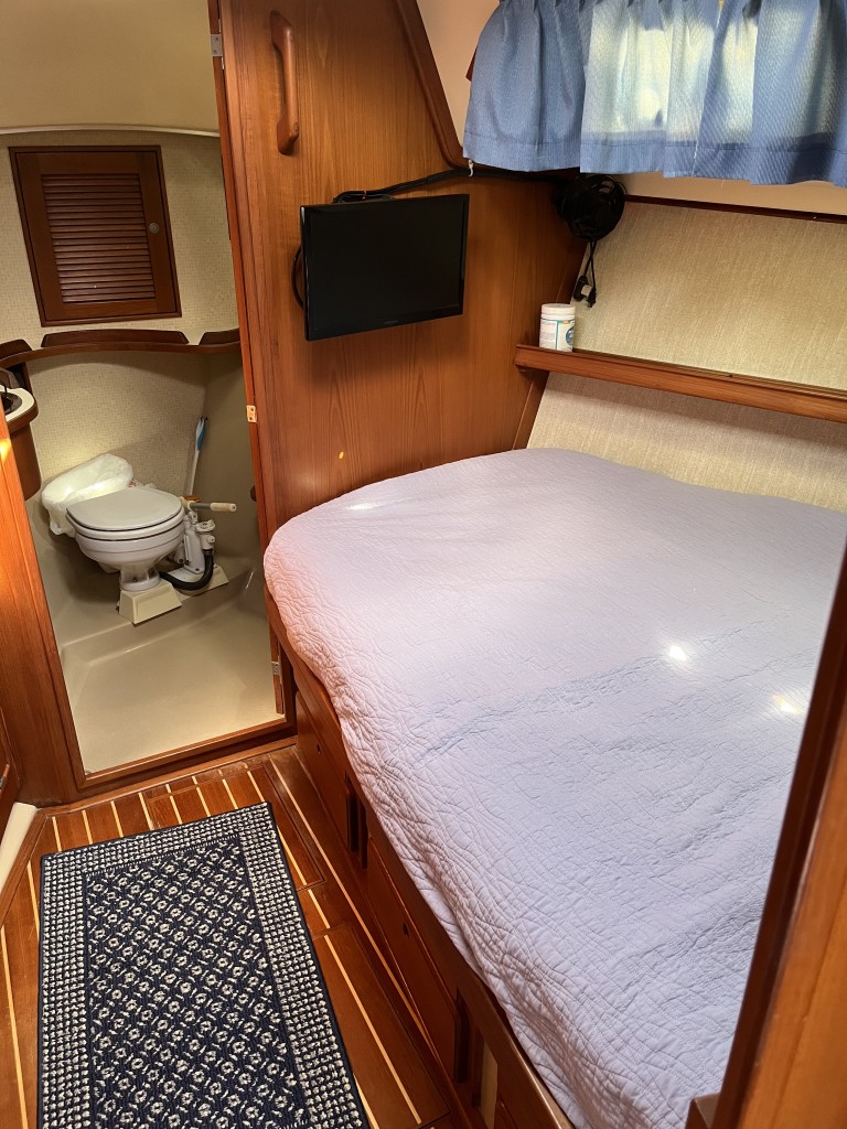
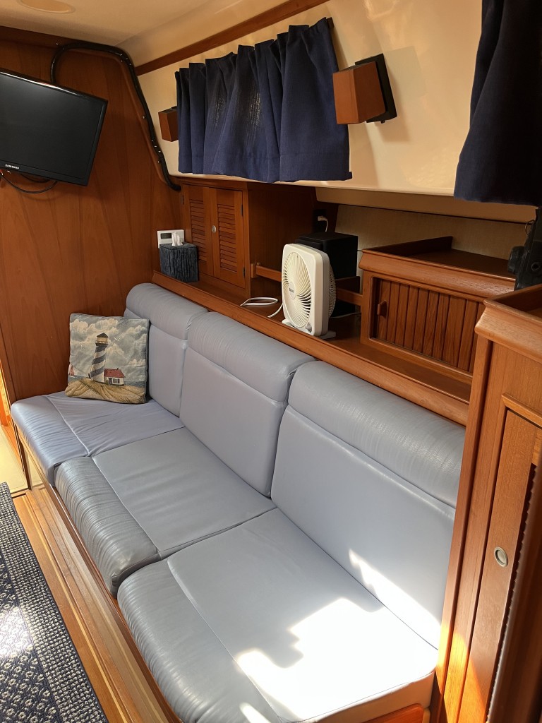
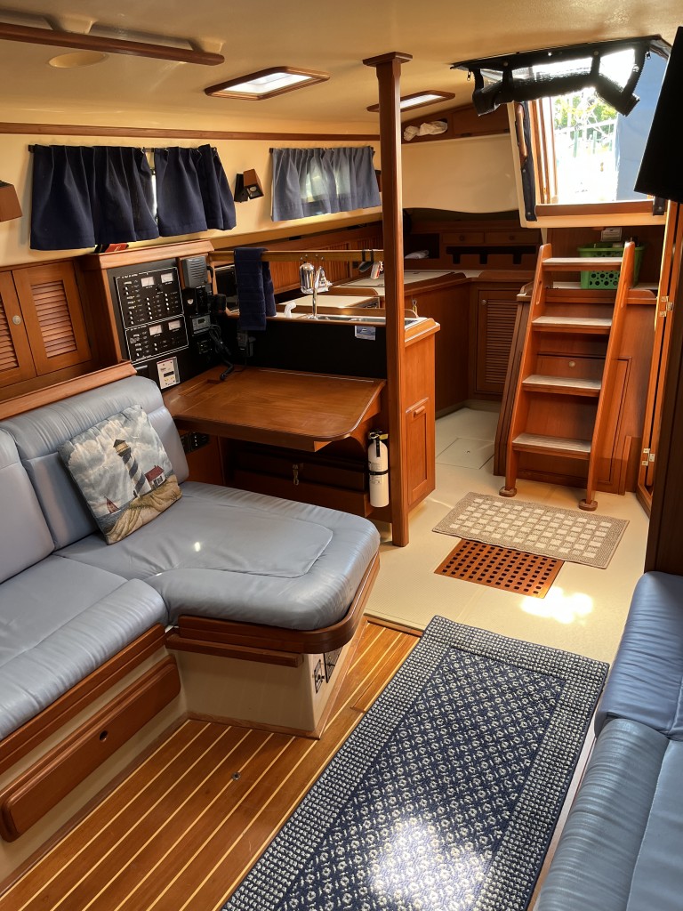
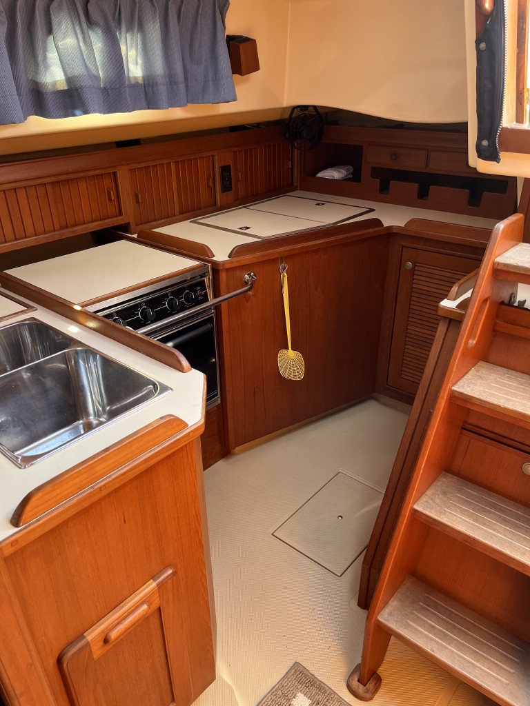
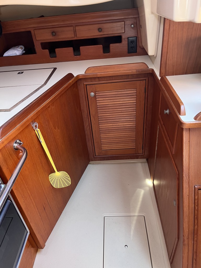
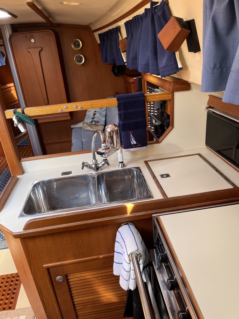
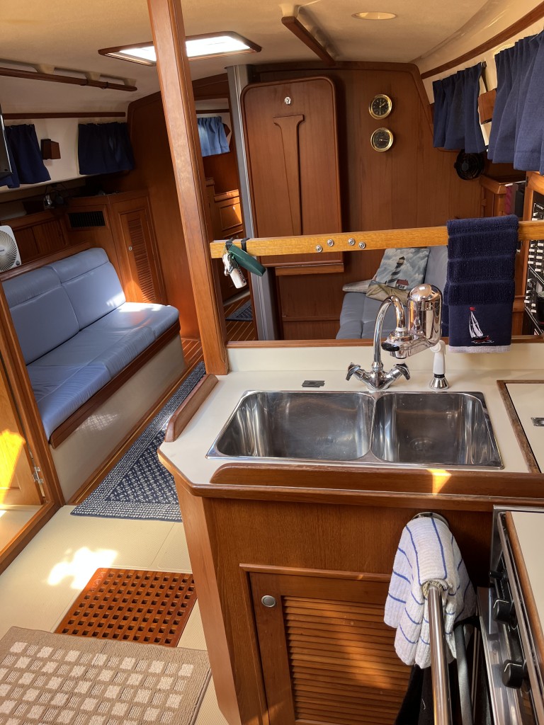
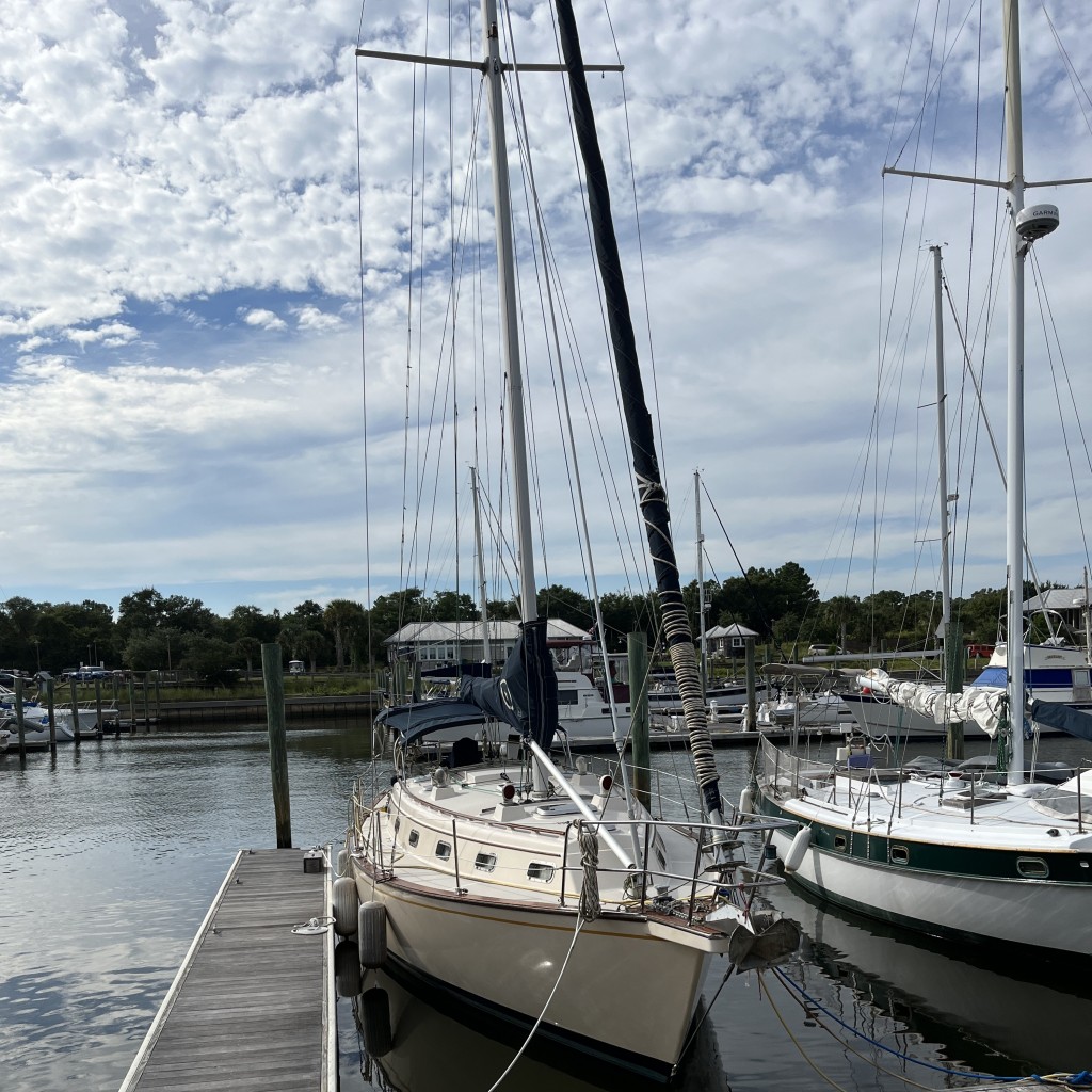
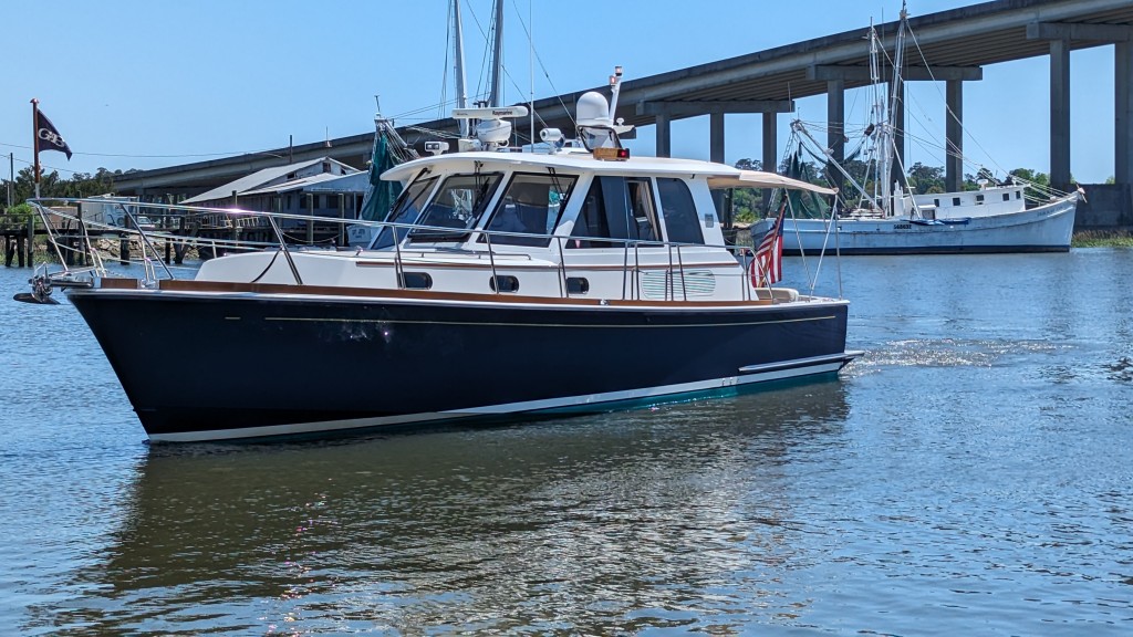
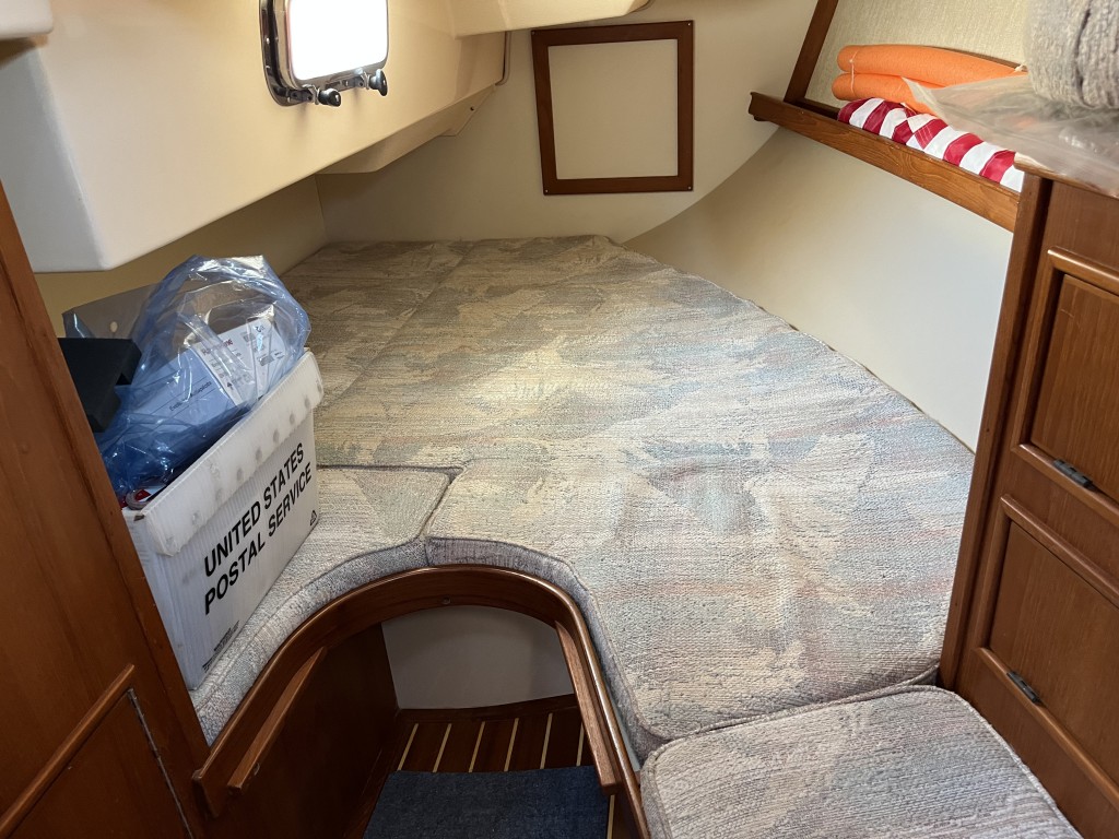
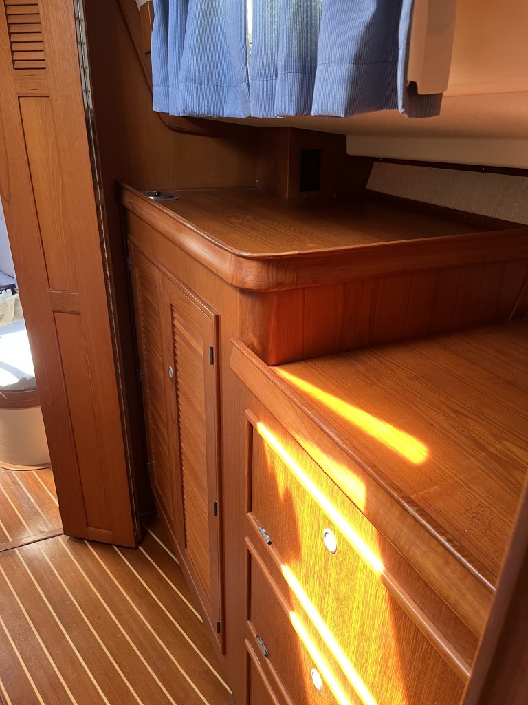
We have been steadily working on making the Eastbay ours….cleaning, fixing some minor issues and getting to know all of the systems, some of which are similar to Island Bound but many are different.  This boat is very different from Island Bound and we are planning to use it differently than the sailboat.  One of the things completed was changing the name from Salisbury to Lucky Enough.  The name was Tricia’s idea and I loved it.  We met and befriended a singer/songwriter in Key West over our years of cruising there named Scott Kirby.  He is one of the owners of the Smokin’ Tuna Saloon in Key West and he performs there (as well as nationally) frequently.  One of our favorite songs of his is called Lucky Enough.  It made it on the radio and XM Jimmy Buffet channel, and I perform a cover of it in my solo performances.  The key chorus line is “If you’re lucky enough to live on blue water, you’re lucky enough by me.” and that was perfect for the boat.  I sent him a note about it and he seemed to really like it.

So we are in the process of planning our cruising itinerary for this year’s season and it is very different.  First off, instead of a 7 month travel plan, we are looking at a 4 or 5 month schedule.  Lucky Enough has an enclosed helm that is climate controlled via a built in generator which allows us to travel comfortably in cooler weather and rain.  On Island Bound I was outside at the helm and had many days on the late Fall and early Spring months that were mighty uncomfortable, especially in cold rain and wind.  This was one of the reasons we would leave late Oct and return in May.  The other major difference is that Lucky Enough has a maximum speed of 32 knots (36 MPH) and a cruising speed of 25 knots (28 MPH) and Island Bound cruised at 7 knots (8 MPH)…..total game changer.  Example….we brought Lucky Enough home from Savannah GA in 2 1/2 days (with daily overnight stops) which would typically take 6 days on Island Bound (with daily overnight stops).  Another example…with overnight stops….it typically took 10 travel days to get from Southport to St Augustine FL in Island Bound, and we could do that trip in 3 days on Lucky Enough.  The kicker is the fuel consumption….a topic I will reserve for a later date…lol!

So, now our planning is looking like this:  Enjoy Thanksgiving with our family on the beach (as we have been doing the last 4 years).  Depart Southport the middle of December.  Spend Christmas and New Years with Tricia’s sister and her husband in St Augustine Beach.  Wander to the Keys in January.  Spend February in Conch Harbor Marina in Key West.  Work the route in reverse in March.  Enjoy October, November, April and May in Southport…which are some of the best months of the year here.  The other bonus is that we will be traveling the waterways in months that are not the peak traveling months, which will reduce the stress level and improve the ability to find slips and/or anchorages along the way.

I will try to keep the blog active so you can follow along.

Back to our home port

5/26/2024
Deep Point Marina, Southport NC
Position: 33 59.77N, 77 59.78W
Posted by Bill

We left Hilton Head yesterday at 6:50 AM and headed offshore. We ran 5-10 miles offshore. This Eastbay model ran so smoothly offshore in about 3 foot seas. We were running about 23-25 mph and made Winyah Bay inlet a little after noon. We were planning to get a slip in Georgetown SC but there was a fishing tournament going on and every slip in town was booked, so we headed up the Waccamaw river…my favorite part of the Intracoastal Waterway…and found a slip in Wacca Wache Marina near Murrells Inlet SC, position: 33 37.768N, 079 05.077W. Nice marina there with a fun bar/restaurant on site. They had a great band playing. Cheap fuel there (something we are not used to worrying about in our sailboat…lol) so we loaded up.

We left there today at 6:56 AM and took the ICW back to our home port in Southport NC. The waterway was a complete zoo, especially between Cherry Grove/North Myrtle Beach and Oak Island. Boats jam packed and creating a nasty mess of chop on the waterway. Our boat took the chop so much better than the sailboat which was a nice change. Note to self: Don’t travel the ICW on the Sunday of Memorial Day weekend. We pulled into our home port at Deep Point Marina around 1:17 PM and were greeted by 2 of our close friends, one of whom brought champagne to celebrate getting our new to us boat home (thanks again Robin!)

This was only my 3rd day of running the boat and as I was positioning the boat to back into our slip I came very close (damn near hitting) to the boat docked across from us. That was a scare, but we got her backed in and tied up with the help of our friends.

The entire trip from Thunderbolt (Savannah) to Southport was 2 full days of travel. This would take us 7-8 days normally in the sailboat, which we usually ran inside on the Intracoastal Waterway most years. Great time savings, but let’s not talk about the fuel consumption…lol.

Going to the dark side

5/24/2024
Safe Haven Marina, Skull Creek, Hilton Head SC
Position: 32 14 39.02 N, 80 44 51.52 W
Posted by Bill

PXL_20240415_173356851

Long time…no blog.

To catch up….we had a really bad trip back in our last year of cruising, so we took a year off. Then hurricane Isaias destroyed our home port marina in Southport NC. It took a year to get the boat worked on (minor cosmetic damage thankfully) and we decided we wanted to retire from sailing and pursue the purchase of a power boat. It was a tough decision since we have both been sailing for most of our adult lives, so we sold our beloved Island Bound.

There is an old cruiser adage that describes the stages of cruiser boat ownership and it goes like this: Sailboat to trawler (slow power boat with great live aboard amenities) to hearse. We started looking at trawlers and liked several brands, including Monk, Nordic and North Pacific. We were looking at a trawler near Hampton VA and saw a downeast style boat next to it that we didn’t recognize. We asked the broker showing us the boat what brand/model it was and he said it was a MJM…beautiful boat. He said it was for sale and asked if we wanted to see it. We loved the design and the lines of the boat but it was $900k…yikes!! So that got us looking at downeast style boats. We quickly honed in on Sabre, Back Cove and Grand Banks Eastbay models. It seemed like these models would allow us to continue to cruise and would also be really good for regional use after we were done cruising, or just wanted to cruise on a less than regular basis. Instead of cruising for 7 months out of the year, we could do 3 or 4 for the winter months. We weren’t really sailing much while cruising our Island Packet anymore, and a downeast boat would allow us to travel in a climate controlled helm, which would allow us to travel later in the fall and back in late winter/early spring; plus we would only have to open 3 bridges from Southport to Miami.

So…as a hard core sail boater would say…we went to the dark side. It took 2 plus years of searching and placing several offers that fell through, but we ended up with a 2007 Grand Banks Eastbay 39sx. We did the survey (inspection) and sea trial at Hinkley Boat Works in Thunderbolt GA, had some repair work done, and headed out to bring her home. Today was our first stop…only a couple of hour trip…staging for an offshore run to Georgetown SC. More on the boat itself to come in future blog entries. The trip today was good. Driving this boat is so different than our Island Packet sail boat. We have twin engines and a bow thruster. I got a day of practice with a retired Coast Guard instructor to learn how to maneuver the boat and dock it, and today docked at the fuel dock and backed into a slip for the night without incident…yay! It’s good to be back on the water.

Island Bound has been sold

9/30/2022
Southport, NC
Posted by Bill

Well today we completed the sale of our beloved Island Bound. We are feeling very sad about it, but we know it was time to close our sailing adventures and move on to the next chapter. I have been sailing my entire adult life and it was always a real passion for me. I always dreamed of having a boat as fine as our Island Packet…she is a great boat and it has been an experience of a lifetime cruising on her. All that being said….this is hard to deal with.

The boat sold to a great couple that we have enjoyed getting to know, Wil and Tori, and we are excited for them. We are happy that people like them bought the boat and will care well for her. We will enjoy following their adventures!

A special shout out to our good friend Hayden Cochran for all of his help during the process.

Now we start the process of finding the next boat…this one without a mast.

Island Bound for sale

5/11/2022
Posted by Bill

Long time…no post. We obviously haven’t been traveling the last few years on our boat. I think we are done cruising outside of the US…at least for now…and we are finding that we don’t use the boat like we used to. It is time to move over to the DARK SIDE (lol) and purchase a power boat. Not sure if we will get a trawler or a sport fish that has decent accommodations, but we are looking at both types of boat.

Either way, our beloved Island Bound is going up for sale. What follows is the listing. If you know of anyone who is interested please let us know.
main

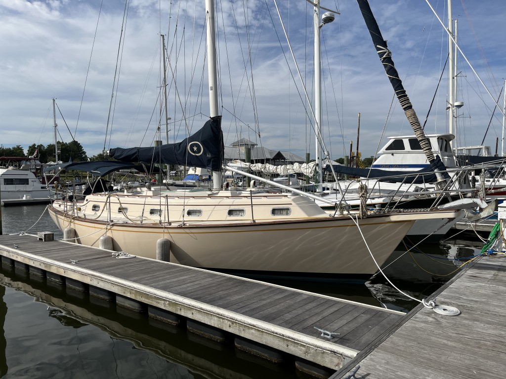
Island Bound – 1995 Island Packet 40 Sailboat
Asking Price $140,000
Location: Southport NC
Email: IslandPacket4095@gmail.com

Island Bound was a Great Lakes fresh water boat from 1995 to 2014. In 2014 the owners spent 5 years living aboard and cruising the east coast, Florida Keys and the Bahamas, and cruised the same areas for winters after that. She is a solid boat well suited for cruising the world. The owners are moving on from sailing to power boating.

Specifications:
• LOA – 42′
• LOD – 40′
• LWL – 34′
• Beam – 12′ 11″
• Draft – 4′ 8″
• Height – 54′, 57’ including VHF antenna
• Displacement – 22,800
• Ballast – 10,000lbs. Lead/concrete
• Headroom – 6′ 5″
• Construction Fiberglass
• Hull Number 28 of 139
• Hull and Deck – Solid Fiberglass
• Designer -Robert K. Johnson
• Builder – Island Packet Yachts (USA)

Tankage:
• FUEL – 90 Gallons in 1 Aluminum Tank – Located in Keel – Range Approximately 625 Miles
• DOMESTIC WATER – 170 Gallons in 1 Aluminum Tank – Located in Keel
• FUEL & WATER Tanks are Located in Keel for Lower Center of Gravity
• WASTE HOLDING – 30 Gallons in 1 Aluminum Tank (never had a drop of salt water in it) with Macerator

Interior:
• Sleeps 6 in Two Double Berths each in Private Cabins & Two Single Berths
• Forward Cabin Mattress – Custom Memory Foam
• Heads – 2 Private & Enclosed
• Marine Toilets – Manual Pump, Forward head new in 2010 and rebuilt 10/2016
• Hot & Cold Pressure Water System
• Stove/Oven – Princess 3-Burner
• Refrigeration – Adler Barbor 12V
• 2 air conditioner/reverse cycle heat units – 1) Mermaid Air 16,500BTU replaced in 01/2016, 2) Mermaid Air 7,000BTU
• Cabin Lights – almost all are LED Bulbs
• Cabin Blinds – Linen new in 2018
• Fans – (4) in Galley, Aft Cabin, Forward Cabin & Salon
• Drawers & Hanging Lockers – Cedar Lined
• Chart Drawer
• Stereo – Sony Radio/CD Player with Remote Control
• 2 smart flatscreen TVs
• Speakers – (2) Interior & (2) Cockpit

Mechanical / Electrical:
• Yanmar 4JH2E, 50hp, Freshwater-Cooled, Direct-Drive, Inboard Diesel Engine
• Engine Hours – 3,774.7
• Propeller – Sailprop 2000 3-Blade reversing prop
• Batteries – House – (3) Group 27 AGM – new 02/2015, Engine Start – (1) Group 27 AGM – new 02/2015
• Outlets – (12) 12Volt DC – Located in Front Cabin, Salon Cabin, Cockpit Helm, Etc.
• Solar Panel Controller – Morningstar TriStar MMPT 30
• Wind Generator – Marine Kinetix MK4 400W – new 6/2016
• Battery Charger/Inverter – Xantrex Freedom 458 2000W – new 12/2014
• Xantrex Freedom remote panel
• Xantrex Link 2000-R battery monitor – new 10/2014
• Heart Interface Path Maker battery combiner
• Shore Power – 124Volt AC 30amp
• Bilge Pumps – 12Volt DC Automatic/Manual and backup Manual Whale Gusher
• Television Antenna top of mast
• Water maker – 20 GPH (runs off a Honda 2000 generator) – new 9/2016
• Miscellaneous Spare Parts Filters, etc.
• Vessel Documentation – Includes Engine Maintenance Log, Major Work Receipts & Maintenance Receipts
• Boat Equipment Manuals

Navigation / Communication:
• Radar – Raymarine 2kw with backstay mount – new 2008
• GPS – Raymarine Raystar 112LP – new 2008
• Autopilot – Raymarine Evolution EV1 with wireless remote – new 9/2015
• Speed/Depth/Wind/Log – Raymarine i50/i60 – new 12/2019
• Chartplotter – Raymarine E80 – new 2008
• Compass – Ritchie 6″
• AIS receiver – Raymarine – new 2008
• VHF Radios – 2 Raymarine 240, one at helm and one at chart table in cabin

Spar / Rigging / Winches / Sails:
• Mast – Aluminum
• Rigging Type – Cutter
• Standing Rigging – Stainless Steel
• Running Rigging – Dacron – Miscellaneous Spare Running Rigging Lines
• Winches – 2 Lewmar Ocean Series 30 CST, 2 Lewmar Ocean Series 48 CST, 2 Spinnaker winches
• Sails – Genoa – Furling 130% with 2 reef indicators. Battened mainsail with 2 reef points and Jiffy Reefing rigging. Staysail – Furling. Asymmetric Spinnaker with ATN Sock (virtually brand new). All sails except spinnaker are Quantum and purchased in 2008.
• Lazyjacks
• Harkin Furlers
• Mast Ascenders
• Dorade/Air Scoop Vents – 4 with cover plates

Ground Tackle:
• Windlass – Simpson Lorance with Bow Deck Foot Controls
• Bow Sprit Double Rollers for 2 Anchors
• Chain Locker – Double with Light
• Wash Down – Saltwater Pump
• Primary Anchor – Lewmar Delta 55#
• Chain – 300′
• Secondary Anchor – Bruce 44#
• Chain – 150’
• Rode – 150′ Nylon Rode

Safety:
• Railings – Stainless Steel Bow Railing / Stern including Side Railings Around Cockpit
• Navigation Lights
• Anchor Light – LED
• Life Jackets (4)
• Flares
• 4 Fire Extinguishers
• Rear Folding Boarding Ladder

Miscellaneous:
• Bottom Paint – 3 coats new 10/2021
• Zincs – new 10/2021
• Kato Dinghy Davits – new 10/2021
• Cockpit Cushions
• Cockpit Table at Helm
• Cockpit Cold Water Sprayer
• Extra Companionway Doors
• Outboard Motor Mount Bracket
• Outboard Motor Lift
• Staging & Personal Items to be Removed at Time of Sale

Note
• Island Bound was a fresh water (Great Lakes) boat until 2014
• Davits, radar and wind generator have been de-installed.
• Boat was surveyed in present condition in 10/2021

Disclaimer
The owner offers the details of this vessel in good faith but cannot guarantee or warrant the accuracy of this information nor warrant the condition of the vessel. A buyer should instruct his agents, or his surveyors, to investigate such details as the buyer desires validated. This vessel is offered subject to prior sale, price change, or withdrawal without notice.

Pictures:
IMG_4205.HEIC

IMG_4206.HEIC

IMG_4207.HEIC

IMG_4225.HEIC

IMG_4226.HEIC

IMG_4227.HEIC

IMG_4228.HEIC

IMG_4229.HEIC

IMG_4230.HEIC

IMG_4231.HEIC

IMG_4232.HEIC

IMG_4233.HEIC

IMG_4234.HEIC

IMG_4235.HEIC

IMG_4236.HEIC

IMG_4237.HEIC

IMG_4238.HEIC

IMG_4239.HEIC

IMG_4240.HEIC

IMG_4241.HEIC

IMG_4242.HEIC

IMG_4243.HEIC

IMG_4244.HEIC

IMG_4245.HEIC

IMG_4258

2018/19 is a wrap!

5/12/19
Southport NC
Posted by Bill

The last blog post was almost a month ago and we left you in Cocoa FL. We made it home on 5/4 and have been taking all of the stuff off the boat and finding a home for it in the house. It sure is a contrast living in the house versus the boat, but we are enjoying all of the creature comforts that we didn’t have for the past 7 months, including our fantastic shower, flushing toilets that you don’t have to pump out, an endless supply of running water, ice maker, washing machine and dryer, endless supply of electricity that you don’t have to manage, and FAST INTERNET!

I haven’t kept up the blog very well. A big part of the reason is that our good friends and travel partners are splitting up. It came down about halfway through our trip and it is difficult to compose my typical blog content and respect their privacy at the same time, so I chose not to post like I usually do.

Our trip home from Cocoa was pretty good weather wise. We only had 4 or 5 days of rain or high winds in just over 2 weeks of travel. We left Cocoa and motored to Rock House Creek at Ponce Inlet, anchoring in position 29 03.672N, 080 55.877W. As the wind died we got swarmed by no-see-ums in the worst bout of them we have encountered. By the time we got down below in the cabin and shut all the hatches and ports, we had a swarm in the boat. It made for a miserable evening and little sleep. We had several days of high winds (up to 40 knots) in the next 4 day forecast so in the morning we upped anchor and took a slip at Halifax Harbor in Daytona Beach, position 29 12.265N, 081 00.549W. We spent 3 nights there and enjoyed having shore power and shore access without dealing with the dinghy in bad weather, and it did blow in the 30s and low 40s for 3 days. This allowed us to explore an area that we typically don’t go ashore while transiting each year, and we found some great places to eat. We’ll stop here again in the future. On the 21st, we left Halifax and took a mooring buoy in St Augustine at position 29 53.657N, 081 18.560W. This is one of our favorite stops and we spent 2 nights there enjoying our favorite places to eat and drink. On the 23rd we traveled to Fernandina Beach and anchored in the Amelia River at position 30 40.638N, 081 28.729W. The marina and mooring field at Fernandina is still closed from last years hurricane damage so we couldn’t go to shore and enjoy the town there.

On 4/24 we entered Georgia and left Florida behind. Georgia has 3 major shoal areas that we have to time the tides for, and several open sounds that can be nasty with high winds. We always get our asses kicked in them. The tides lined up perfectly for us and winds were calm except for the transiting of the last sound, and we made it through Georgia in 3 days stopping each night as follows: Brunswick, position 31 09.056N, 081 29.994W; Kilkenny Creek, position 31 47.522N, 081 11.812W; Turner Creek, position 32 00.910N, 080 59.404W.

On 4/27 we left Georgia Behind and entered South Carolina. We picked up a mooring in Beaufort at position 32 25.722N, 080 40.849W, and had a great dinner at the Bull Tavern. The next day we ran aground entering the Ashepoo Cusaw Cutoff (a known shoal area) but we were able to back up and find enough water on the starboard side to get going again. We anchored that night in Steamboat Creek at position 32 36.327N, 080 17.799W. The next day we traveled to Charleston and took a slip in the Charleston Maritime Center at position 32 47.321N, 079 55.443W. We love Charleston and decided to stay 3 nights to enjoy our favorite places to eat and drink. Usually when we are there, it rains at least a couple of days, but we had fantastic weather this time. On 5/2 we traveled to Georgetown and anchored in position 33 21.972N, 079 17.410W, in front of the steel mill. The mill is active again which was interesting to watch, but made it hard to sleep. The next day we pulled in to Grande Dunes Marina in Myrtle Beach, position 33 45.815N, 078 49.082W. We had never stayed there before. The guy helping us with our lines was completely clueless about how to dock and tie a boat and we had to make 2 attempts to get tied up. They put us in a slip that was very difficult to get out of for our boat, but Matt and Larry helped the next morning and we had no issues. We left early in the morning and arrived in Southport early in the afternoon.

It was a couple of weeks of long days and we pushed hard to get back, so we were pretty worn out. The house was in excellent shape when we got back and we were really happy to be home.

Pictures:

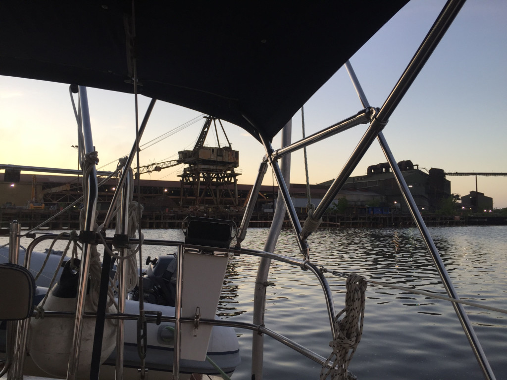
Anchored at the steel mill in Georgetown:
IMG_2965cmp

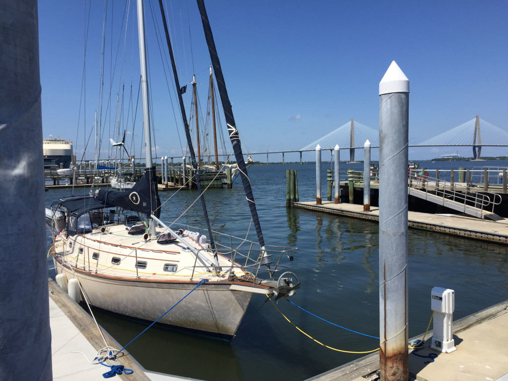
Island Bound at the Maritime Center in Charleston:
IMG_2961cmp

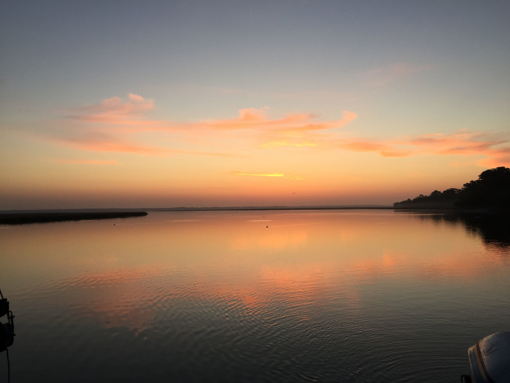
Sunrise in Beaufort:
IMG_2960cmp

Working our way north

4/19/19
Halifax Harbor Marina, Daytona Beach FL
Position: 29 12.265N, 081 00.549W
Posted by Bill

We spent our last day in Bimini hanging at the Beach:
IMG_2937cmp

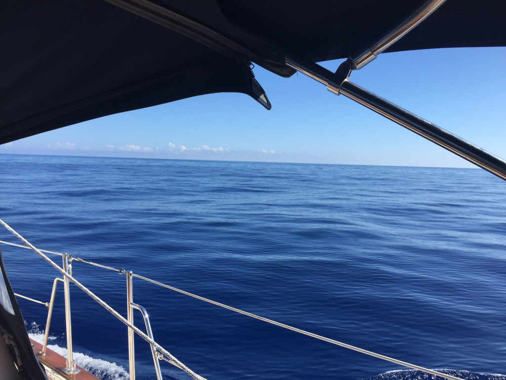
On 4/11 we left Bimini at 4:30 AM because we had to be past the entrance to the marina before 4:45 due to tide. It started out a little rough but as forecasted, the wind and seas died and we had a very calm crossing. You don’t get to see the Gulf Stream look like this very often:
IMG_2939cmp
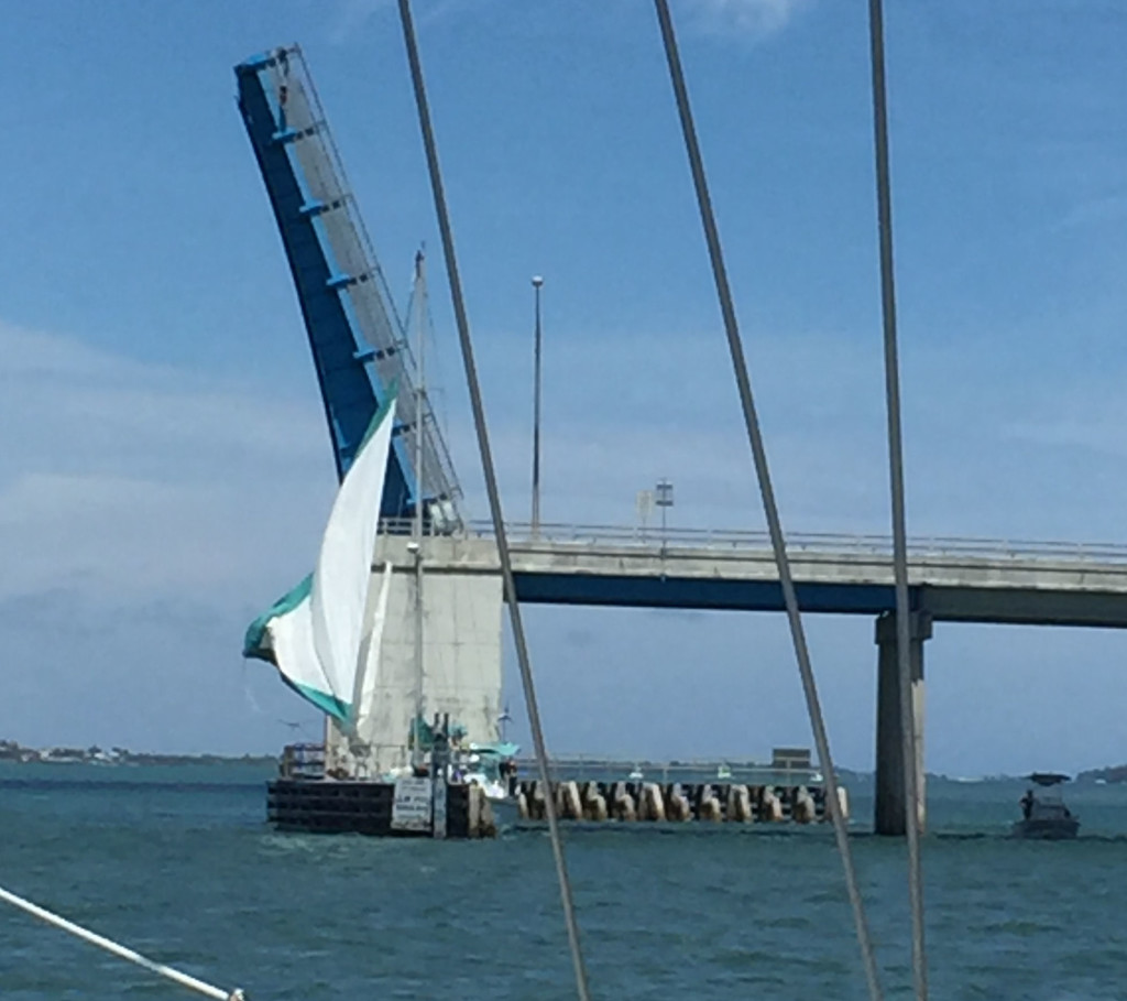
We arrived at Lake Worth inlet and braced for the culture shock. Even though this is the 4th time to the Bahamas and back, we still were in awe of the difference of the cultures. Back to wealth and overcrowding, and boats running around rudely everywhere. We anchored in the north anchorage at position 26 50.328N, 080 03.360W. We went ashore to Publix for groceries and had some great Mexican food before returning to the boat. We were hoping to make Vero Beach but had too many bridges to get through to make it in a day, so we went to Hobe Sound and anchored at our usual spot across from Tiger Woods house at position: 27 00.367N, 080 05.754W. On the 13th we traveled to Vero Beach and spent a couple days there. On the way there we were waiting for a bridge opening in pretty windy conditions and a sailboat came up that was disabled and wanted to get through the bridge under sail. They had a couple of miscalculations waiting for the opening and ended up running into the bridge and wedged up against the bridge fender:
IMG_2944cmp
There was nothing we could do to help them and we really felt bad. We were left wondering why they wouldn’t just anchor and get a tow boat to take them to a place where they could get the motor working.

In Vero we took on fuel and water, and pumped out the holding tank and moved on to Cocoa on the 15th, anchoring in position 28 20.943N, 080 43.169W. We enjoyed our favorite places to eat and drink and opted to stay 2 days. We saw 3 days of high winds coming up on the forecast and decided to hold up in a marina for the blow. On the 17th we moved up to Rock House Creek in Ponce Inlet and anchored in position: 29 03.672N, 080 55.877W. The wind died and the no-see-ums swarmed us an hour before sunset. By the time we ducked below and closed all the hatches we had a small swarm inside the boat and they tortured us all night! It was horrible. The next day we went in to Halifax Harbor at Daytona Beach and arrived before lunch. We went to a great Mexican restaurant for lunch and happy hour at the Chart House, 2 of our favorites here. The winds arrived early but after we were already tied up, and today they are expected to go over 40 knots. This is a well protected marina and we are glad to have gotten slips here.

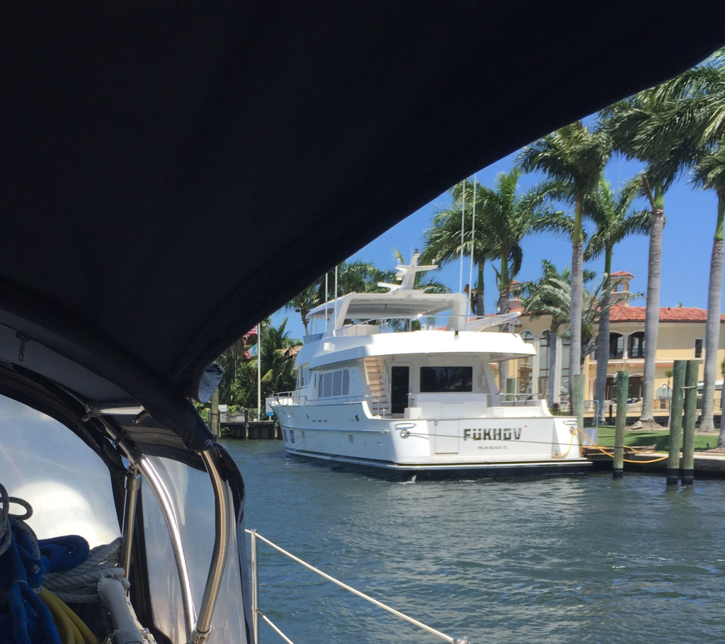
In closing, we see lots of boats and boat names. This one is pretty creative:
IMG_2942cmp
Only in southern Florida…

Heading back to the States

4/8/2019
Bimini Sands Marina, South Bimini, Bahamas
Position: 25 42.565N, 079 17.952W
Posted by Bill

If you follow our blog, I am sure you are wondering what we are doing in Bimini already. We normally stay in the Bahamas until the first week in May. A lot has been happening, but I will summarize by saying that we have had family medical issues crop up that we felt we needed to get back to the States to be able to attend to if they worsened. Couple that with rough weather and ass kickings, and various issues that our travel mates are dealing with, and we just weren’t having that good of a time in the Bahamas and decided to head back. We are looking to cross over to Lake Worth, FL on Thursday as long as the weather holds, and then we will take our time getting back to Southport unless the family medical issues worsen, at which point we will beat it back home or leave the boat somewhere secure for a period of time.

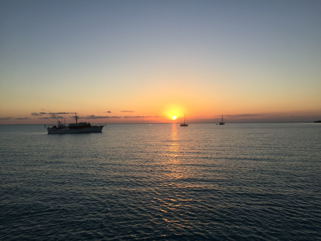
To catch you up on our whereabouts….we left the blog when we were in Emerald Bay Marina on Great Exuma. On 3/21 we sailed down to Georgetown and anchored off Volleyball Beach and the Chat ‘n Chill in Elisabeth Harbor at position 23 31.096N, 075 45.526W. Having been there before, we showed our travel mates the ropes (so to speak). We visited Chat ‘n Chill, St Frances restaurant and bar, went to Georgetown a few times for groceries, liquor, and boat parts; and also hit some restaurants. One of the highlights was a great happy hour at Augusta Bay resort across the harbor. They have a great bar there and the people are really friendly. They had 2 for 1 rum and Cokes that were mostly rum…2 for 5$ is a major bargain in the Bahamas! On 3/26 we had a good window to return up the Exuma chain and made our way back to Blackpoint, anchoring in position 24 06.198N, 076 24.174W. We waited out several days of high winds, including a day and night of northwest winds (not forecasted from that direction) that rocked us pretty badly. Of course we took advantage of the rum punch specials at Scorpios happy hour while we were there! We were treated to a couple of good sunsets during our stay:
IMG_2928cmp
IMG_2929cmp
And a view of the anchorage from shore:
IMG_2933cmp

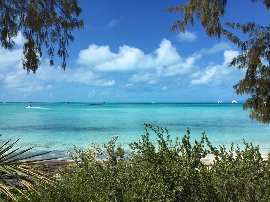
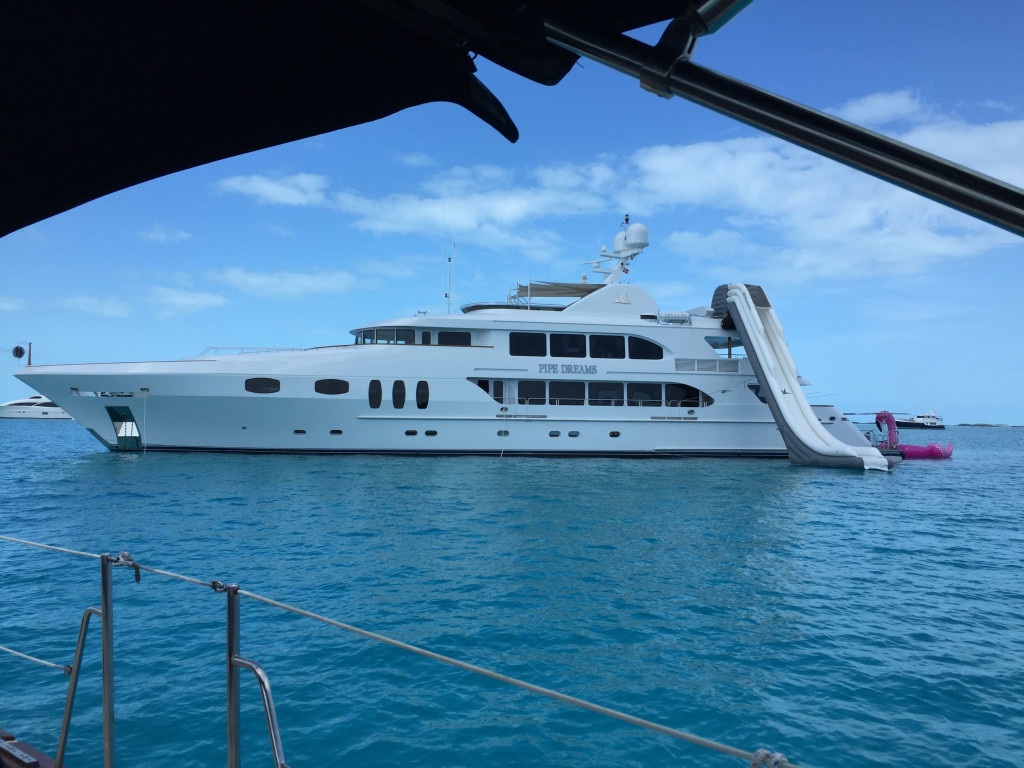
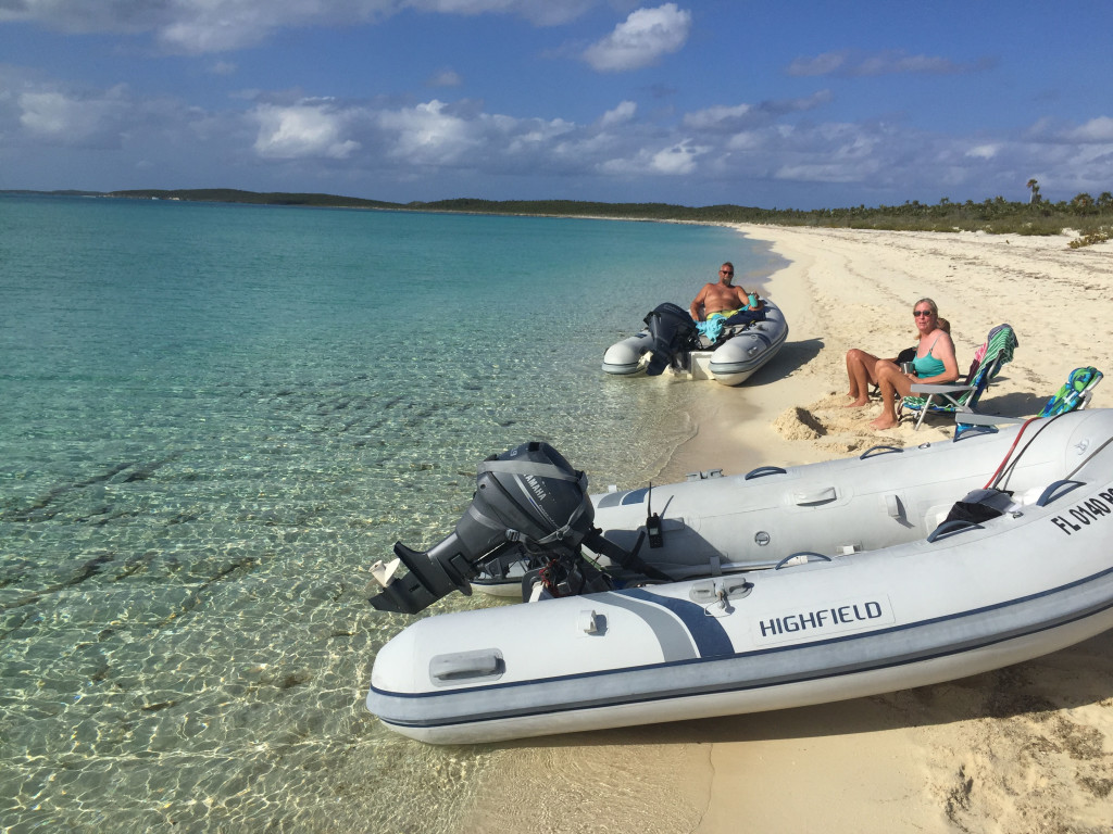
The winds died for a day, so on 4/1 we anchored off Staniel Cay Yacht Club and took Larry’s boat to the fuel dock. After fueling, we moved back to Sampson Cay, probably our favorite anchorage in the Exumas, and had the inside anchorage to ourselves, anchoring in position 24 12.558N, 076 28.527W. On the way down this place was packed with boats but this time we had only a few other boats come in and anchor outside of the area we like the best. We waited out high winds again for a few days, but we were able to dinghy into Pipe Creek and Over Yonder Cay and enjoy the stunning views in that area. We also enjoyed secluded reef snorkeling and secluded wallowing at several beaches and the sand flats behind the anchorage. These are the reasons we love the Exumas, unfortunately, it is very difficult to find any more. Too many people cruising the area and way too many mega-yachts.
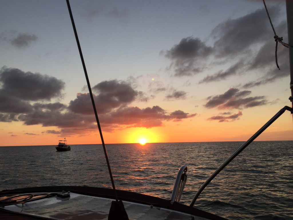
Having decided to make our way back home, we were looking for a suitable weather window. It looked like we had a decent 3 day window of east winds and waves, and weather we could sail and not get our asses kicked, so on 4/4 we moved up to Normans Cay to stage our crossing back to Bimini. It was a really windy day, but we were mostly in the lee of the weather and it wasn’t too bad. We anchored in position 24 36.181N, 076 49.203W. The next day we left and crossed the banks to New Providence Island (where Nassau is). Consistent with just about every other day, the forecasted winds and wave heights were not correct, and we took a beating in quartering waves. We had decided to try a new to us anchorage on the northwest corner of New Providence called Old Fort Bay. The 3 Active Captain reviews that we found suggested that it was better than West Bay which can have bad holding and a bad swell. The anchorage was really pretty. We found that a large portion of the area that is charted at 12 feet is actually less than 5, the first time we have found the Explorer charts to be incorrect in the Bahamas. The anchorage was subject to a bad swell, worse in some areas than others, and we found a spot that wasn’t too bad, until the tide shifted in the middle of the night and slammed us around all night. On the positive side….we did have a great sunset:
DSC_0086cmp
IMG_2935cmp

The next day we left, wishful that the forecast was more accurate, but to no avail the winds were higher and coming from the northeast instead of east, meaning beam seas…yuk. The first half of the trip to the Northwest Channel was really rough and uncomfortable, but the second half was pretty close to forecast. We traversed the channel with ease and went onto the banks to a place called Mackie Shoals…half way across the banks to Bimini. We arrived at Mackie Shoal about an hour after sunset and anchored in position 25 40.735N, 078 41.932W. This is in the middle of nowhere and totally exposed to the open water. We put the hook down to have dinner and to rest a few hours before we moved on. We were expecting 1 ½ foot waves and about an hour after we set the hook we had 3-4 footers slamming the bow of the boat up and down. We have had worse but it was still not fun. In spite of it all, we were exhausted from the trip and slept several hours in the slamming. We upped anchor at 3 AM and started toward Bimini…a 7 hour trip. Because the entrance to Bimini Sands marina has 4.5 feet of water at low tide, and we need at least 5 feet, we had to time it so we didn’t arrive before 7 AM and arrived before 1 PM. Just before first light, Sofia Jeanne clogged a fuel filter and the engine died. Matt replaced the fuel filter but had to prime the fuel system to get running again. To prime, he needed another hand to push the start button while he bled each injector on the engine. Since he was single handed, we all anchored in 4-5 foot seas and he brought the dinghy over to pick one of us up and use our generator (a whole other story) to start the engine. About an hour later we upped anchor and got back underway. It was the first time I have anchored in seas like that and it was crazy…the bow was rising and falling 5 feet at 3 second intervals…sometimes higher…and I thought the windlass was going to rip off the boat as the waves pulled the bow down into the water!!! We survived and managed to make it into Bimini Sands before noon. Once again, the forecast was way off, and thank goodness we had following seas or we would have received another major ass kicking.

One of the other issues we had was related to our electronics. Coming into New Providence, our wind instrumentation stopped working. I had complete redone the connections in Marathon FL months ago. On the trip from New Providence to Mackie Shoals, our GPS was dropping it’s location every 50 minutes or so. We would have to drop power from all of the electronics and restart to get them working again, only to have a repeat situation the entire trip. On the trip from Mackie Shoals to Bimini the GPS worked flawlessly, and now in Bimini the wind instrumentation is working fine too. We are thinking maybe a Bermuda Triangle thing????

Working south through the Exuma Cays

3/20/19
Emerald Bay Marina, Great Exuma, Bahamas
Position: 23 37.780N, 075 55.077W

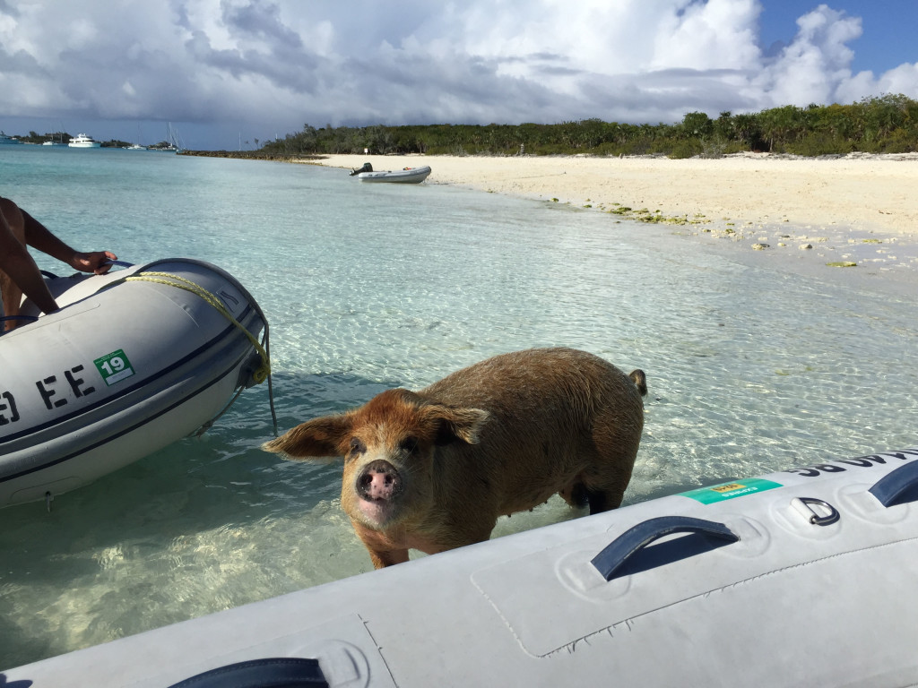
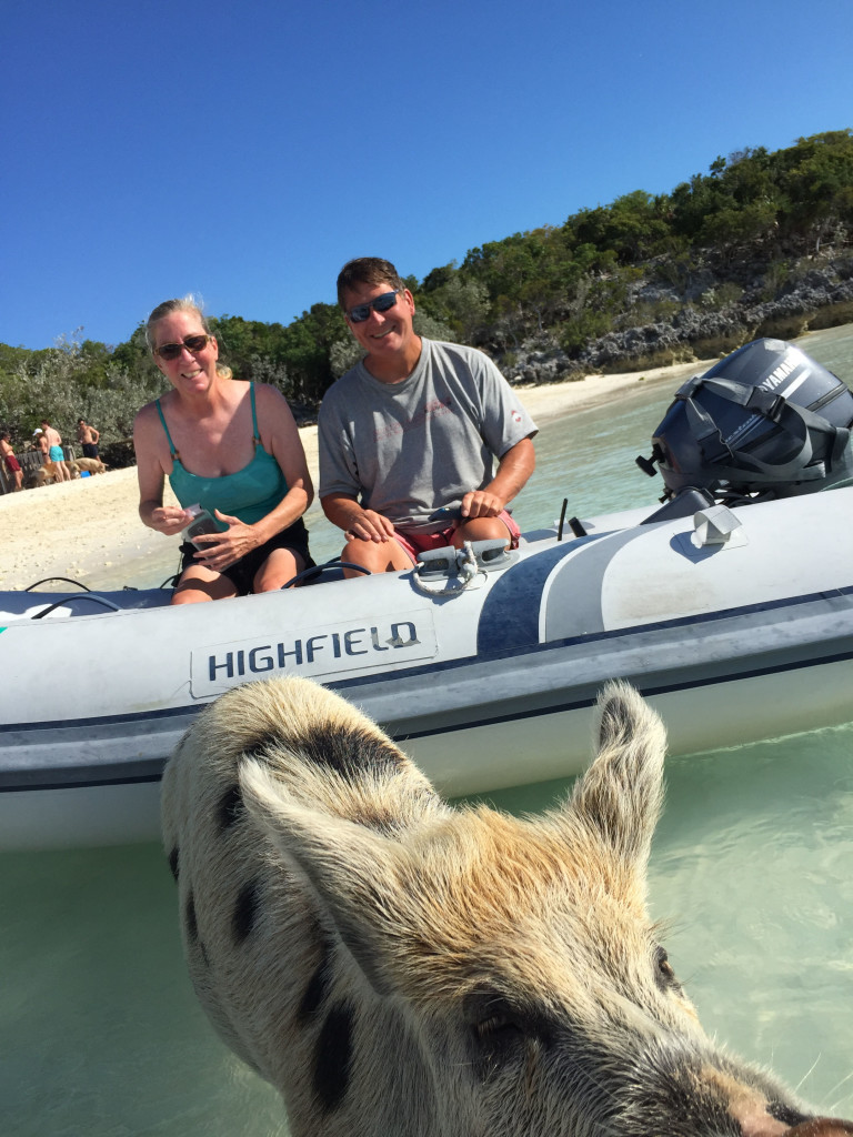
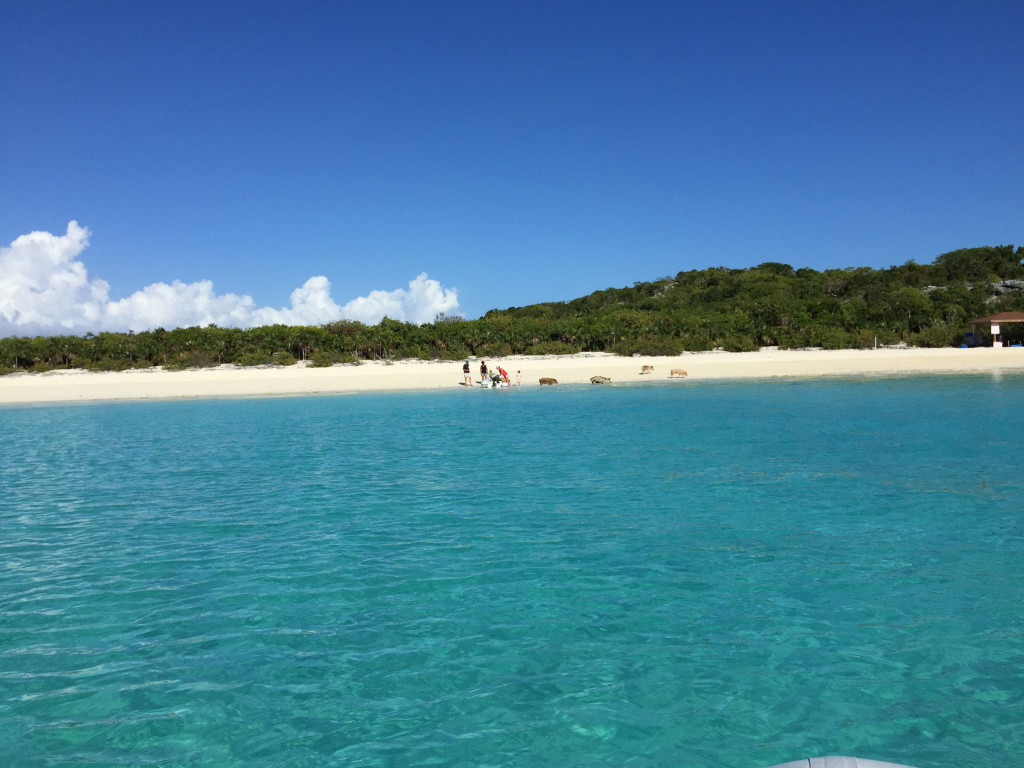
Another “long time … no blog”, and I have no real excuse. We took the worst of the weather at Sampson Cay and on the 10th the wind died enough to jump to the next anchorage which was at Big Majors Spot, anchoring in position 24 11.261N, 076 27.482W. There is good protection from the east winds we were expecting and we wanted to take our traveling buddy Larry to Pig Beach there since he had never been. We fed the pigs table scraps and they were pretty aggressive!
IMG_2869cmp
IMG_0680cmp
IMG_2866cmp

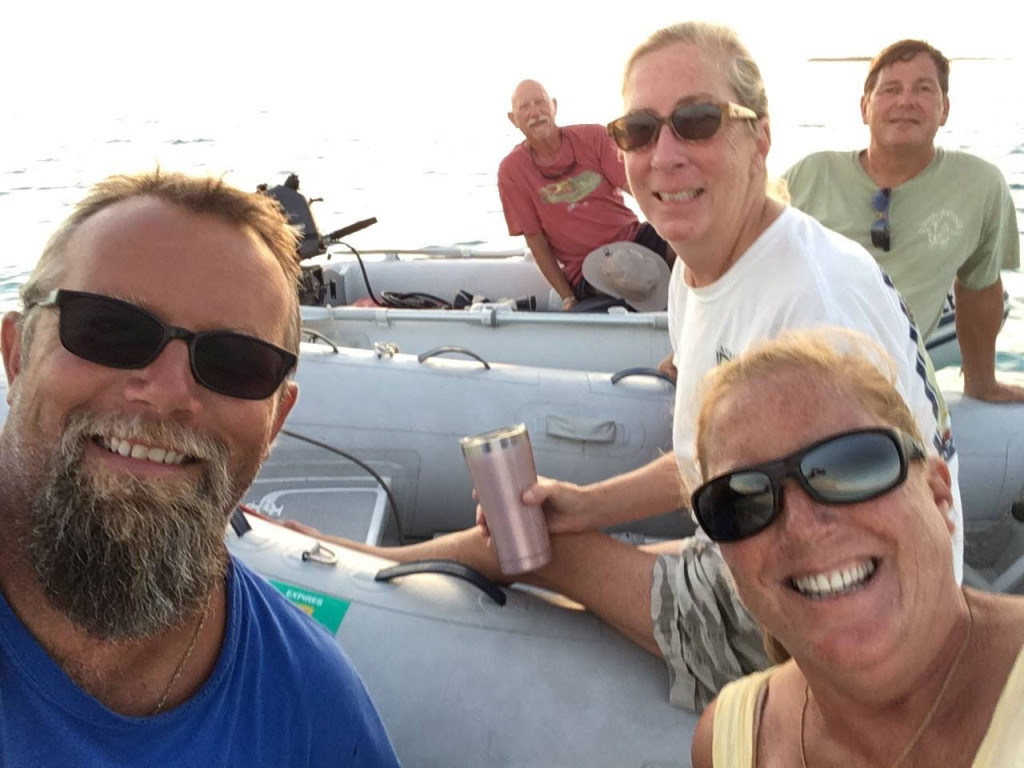
The next day the wind died enough to dinghy over to Staniel Cay and get some gasoline, check out the small grocery stores and have lunch at the Staniel Cay Yacht Club. The Yacht club was not our first choice, but the other two options for lunch did not have any food left when we got there. After a few rum punches and lunch, we headed back to the boats. We did a few sunset happy hours on Larry’s fly bridge and also did a “drink and drift” one evening. “Drink and drift” is where we tie our dinghies together, drink and drift as we watch the sunset.
The Drink and Drift:
IMG_0681cmp
A view from Staniel Cay:
IMG_2875cmp
Typical megayacht:
IMG_2876cmp

On the 12th we moved on down the cays to Great Guana Cay and the Blackpoint Settlement, anchoring in position 24 06.237N, 076 24.198W. Blackpoint is one of our favorite stops and we took advantage of the protection from north, east and south winds that built up to over 20 knots while we were there. We went to Scorpio’s happy hour 2 days while there and really enjoyed the rum punch special! We ate at Lorraine’s Café 2 nights and were disappointed both times, which surprised us. We usually get good food there. We also went to Deshamons and got pizza one night, which was really good. It was really windy and we didn’t do much else.

We were trying to get down to Emerald Bay Marina on Great Exuma around the 17th because our good friends Bill and Dondi from Southport had booked a room in a resort there so we could all hang out. They were only staying a few days and we were trying to maximize the number of days we could hang together. The weather was not really cooperating, but we built a strategy to move in that direction along the lee side of the cays until we had good enough weather to make an ocean run in Exuma Sound, which was the final leg. On the 15th we moved about 7 miles down Great Guana Cay to an a beautiful secluded beach at a place called White Point, anchoring in position 24 02388N, 076 22.574W. We enjoyed some wallowing on the beach there and all got together for drinks on Larry’s fly bridge. This is the best part of the Exumas…beautiful water, beautiful beaches, and the possibility of seclusion.
IMG_2880cmp

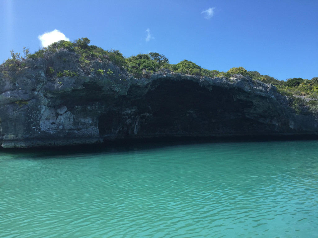
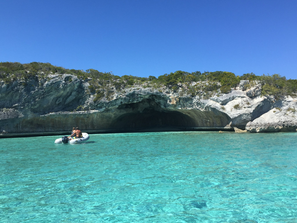
The next day we moved 12.65 miles down and anchored off of Cave Cay in position 23 54.421N, 076 16.646W. We spent the afternoon exploring by dinghy. We saw this grotto on Cave Cay:
IMG_2888cmp
Then road down to a group of Cays owned by the magician David Copperfield. The scenery was spectacular!
IMG_2901cmp
IMG_2913cmp
Including another cave:
IMG_2896cmp
We snorkeled a spot called “the piano”, where Copperfield sunk a baby grand piano along with a mermaid sculpture:
We then returned to the anchorage and when the tide shifted in the middle of the night, it turned the boat beam to the wind, causing a really bad rolling condition. We didn’t get much sleep, and I actually started to get seasick…my first time ever. The next day we were planning to run Exuma Sound to Emerald Bay. Based on the forecast, it was the best day we had to make the run…seas 2 foot falling to around 1, with winds around 10 knots out of the east. On top of being slightly sea sick, I had a very anxious feeling about making the trip, but we were trying to get to our friends ASAP and all agreed to push on. We went out Cave Cay Cut into the sound and were greeted by 6+ foot seas in the cut, slamming us and showering us with spray. Knowing the cut would be rough we pushed through until we got into the sound. We had 15 knot winds on the nose and 3-5 footers. Every part of me was saying “you need to turn around and wait another day”, but we didn’t want to mess up plans for the other 2 boats so we kept going. Needless to say…another 6 hour ass kicking, and another inaccurate forecast. And another confirmation of the adage “don’t travel based on a schedule”. The marina was nice and calm when we finally got past their break wall, and our friends were there to greet us as we arrived, which was very cool. Since here, we have been hanging with our friends at the nice pool at their resort, had a party on Larry’s fly bridge, and had dinner and played cards 2 nights in their room. It has been a lot of fun and we are honored that they booked their vacation time to be with us. We have never stayed at this marina before. They have nice floating docks and a nice club house for people to hang out. The marina pool is closed and you have to pay 25$ at Bill and Dondi’s resort if you want to spend the day at their pool, or you can pay to have a day pass at neighboring Sandals resort. The showers at the marina are pretty run down and not very clean. They regularly don’t have toilet paper, soap and paper towels in the restrooms. There is a swell with an east wind or northeast wind that causes you to roll at the slip. On top of that, the no-see-ums have been relentless. We haven’t had more than a couple hours sleep every night since we have been here. I am not sure I would stay here again.

We are now facing more high winds in a few days, after which we have maybe 2 days of calmer winds followed by what looks like another week of 20+ knot east winds, and are trying to decide which way to go. We want to go to Long Island, Cat Island, then Eluethera, then the Abacos, then back to the States. Not sure that is possible in the time we have left and the forecast we are looking at right now. We will keep you posted.

Another ass kicking…but we made it to the Exumas!

3/7/19
Sampson Cay, Exumas, Bahamas
Position: 24 12.424N, 076 28.562W
Posted by Bill

While in Palm Cay Marina, the forecast showed 2 days of 10-15 knots of wind and seas of 1-2 feet both out of the SE, then a calm day, then 4 days of 20 knot plus winds out of the north as a front passed through. Overnight in Palm Cay, the winds picked up over 15 and the sea state was looking nasty. Our choices…leave now, make it to the Exumas and find a place to weather north winds, which is not easy in the Exumas, or stay in expensive Palm Cay Marina for a week. We opted to leave. One of the bad things about Palm Cay is that it is a very tight marina with not much room to maneuver a boat like ours. We had to back out of our slip with winds on our stern quarter with barely enough room to get the boat out of the slip and turned around to get out of the marina. I was concerned that as we backed out the wind would grab us before we could get the bow turned into it, pinning us down in the fairway, and that is exactly what happened. Fortunately, the boats on our port side were resting inside the outer pilings, and unfortunately, the boat on our starboard was sticking out into the fairway about 3 feet. I couldn’t clear the boat on the starboard side and we ended up pinned to the pilings of the slips that were on the port side. Thankfully, Tricia was able to push off the bow with a boat hook, and I got the stern off the piling by me just enough to clear the boat that was sticking out, but it was not fun! We motored out into the Banks heading SE, directly into 3-4 foot waves, with occasional 2 footers, all hitting us every 2 seconds. The 2 second wave period was the bitch of it all. We were bashing directly into it. We would get our speed up to 6 MPH briefly and then a series of 3 waves would bash into the bow, throwing it up and slamming it down, slowing us to 3 MPH. Winds were primarily 15-20. This turned a normally 6 hour trip into almost 9 hours of getting slammed. It was absolutely miserable. We anchored at Normans Island in position: 24 36.206N, 076 49.243W. We had cocktails and watched the sunset on the beach.

The next day we left and tried to get into the Warderick Wells north mooring field. This is a great place to sit out a frontal passage, but it was full with a waiting list. We executed the backup plan and went to Cambridge Cay, one of our favorite places. The moorings were all taken and the anchorage was nearly full, but we were able to find a place to drop the hook…position: 24 18.254N, 076 32.444W. Cambridge is in the Exuma Land and Sea Park which is a nature preserve. You can’t take anything (like shelling or fishing) and you can’t leave anything (like trash). It is absolutely beautiful. The weather calmed down and we enjoyed a couple of days there, snorkeling the Aquarium…a really cool reef that looks just like an aquarium (think like Columbus Zoo aquarium exhibit), a sunken plane, and a couple of caves in the Rocky Dundas. The day after we arrived, several people left and all 3 of us were able to get mooring balls, so we decided to weather the first couple of days of the frontal passage at Cambridge. We had decent protection from the winds as they clocked from north to northeast, but there is a strong current that runs SE to NW and put our boat sideways to the wind and waves for a good portion of the days and nights, making us roll side to side.

The winds died a bit on 3/7 and we decided to make a run to Sampson Cay, our absolute favorite anchorage in the Exumas. There is usually no one there, it is very well protected from all winds except west, there are great beaches within a short ride, and if you really need fuel or groceries you can take a long dinghy ride to Staniel Cay. We arrived just before noon and anchored in position: 24 12.424N, 076 28.562W. We were shocked to find the anchorage stacked full of boats! Apparently, our secret anchorage has been discovered…that sucks! I think part of it is that there are a lot more people cruising the Exumas. Normans Island was crowded, Cambridge was very crowded, Warderick Wells is croweded, and we are hearing that Big Majors/Pig Beach is packed full of boats as well as Georgetown. We have noticed this as a trend each year we travel here, with more people every year, and more mega-yachts every year. The mega-yachts are taking over the Exumas and making them a playground for all of their toys. In my opinion, this is ruining the Exumas for the normal cruiser and it is sad to see.

We played bocci ball on the beach in the salt flats of Sampson and had happy hour on Sofia Jeanne and have a very comfortable and protected position for the strong east winds we are expecting for the next 3 days. Then we are expecting a day with winds around 10 knots, immediately followed by several days of 20-25 knot winds. We are going to have to stay hunkered down or travel short distances in protected areas for the duration.

Some pics…..
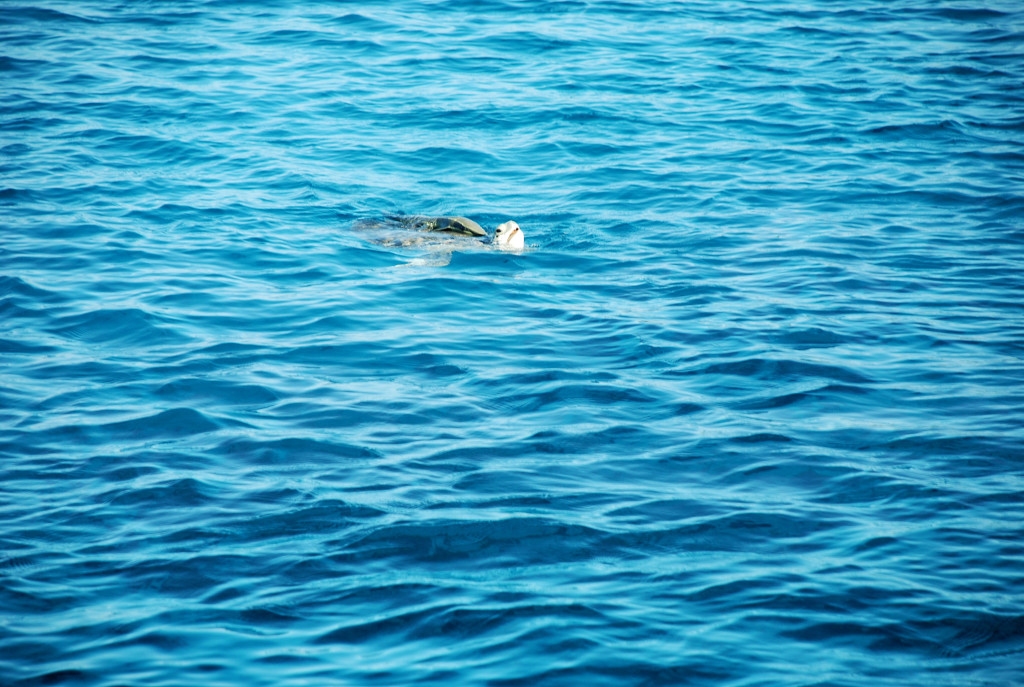
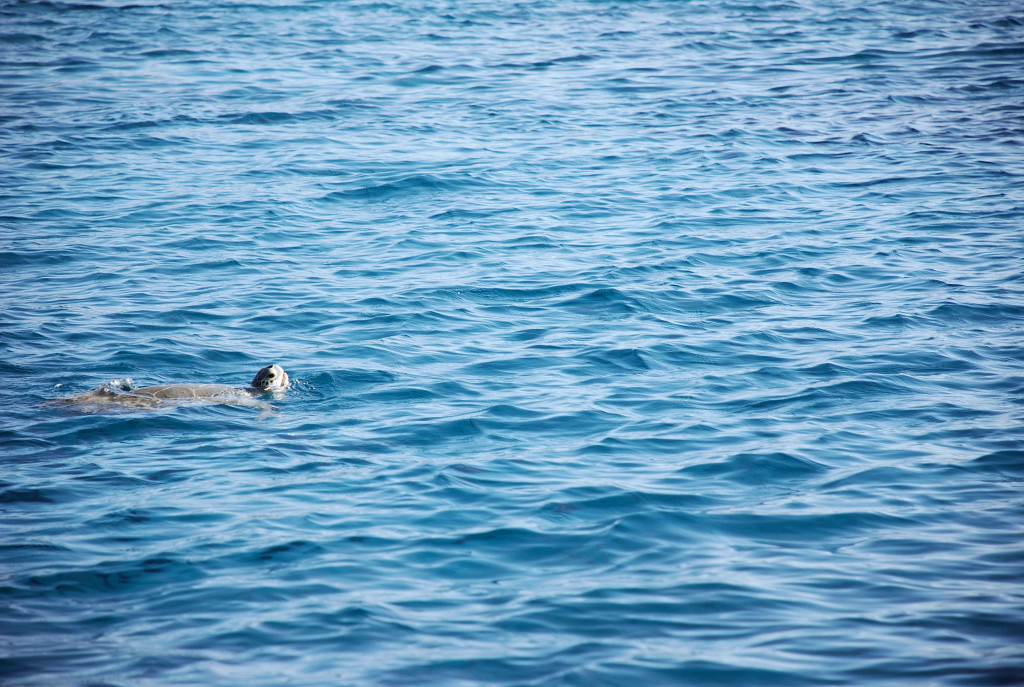
We had these turtles visit us every day at Cambridge Cay:
DSC_0026cmp
DSC_0029cmp

One of the views from our mooring in Cambridge Cay:
DSC_0035cmp

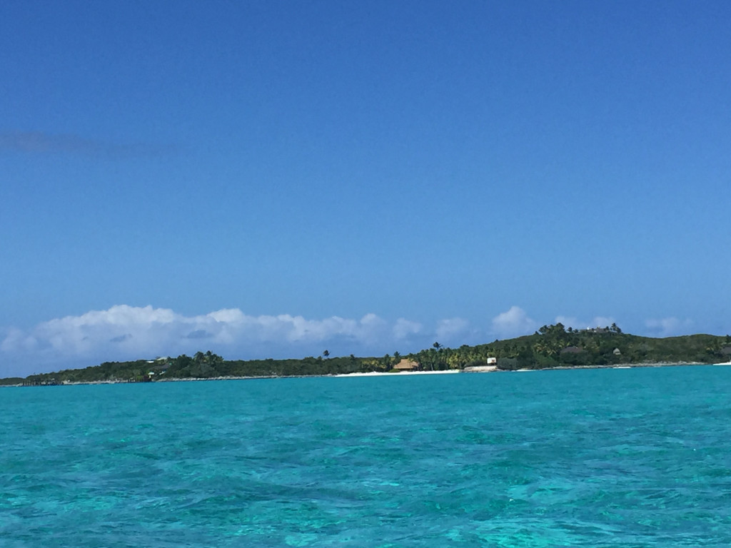
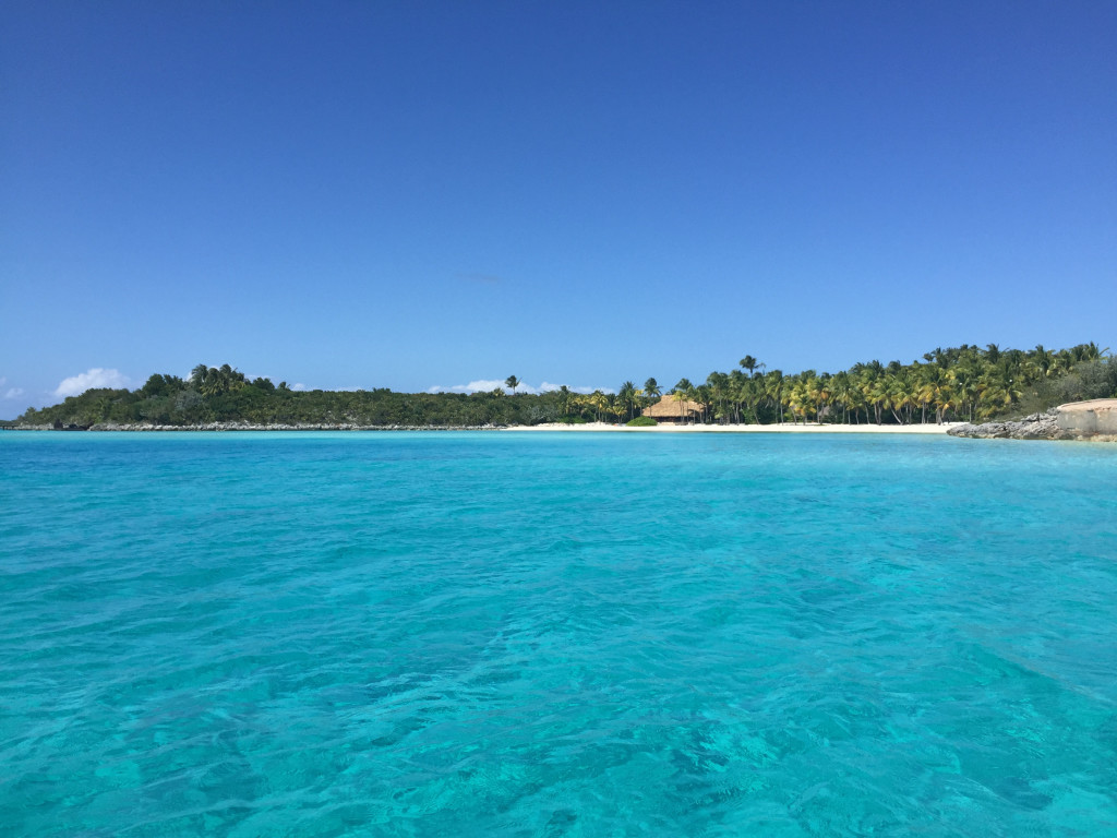
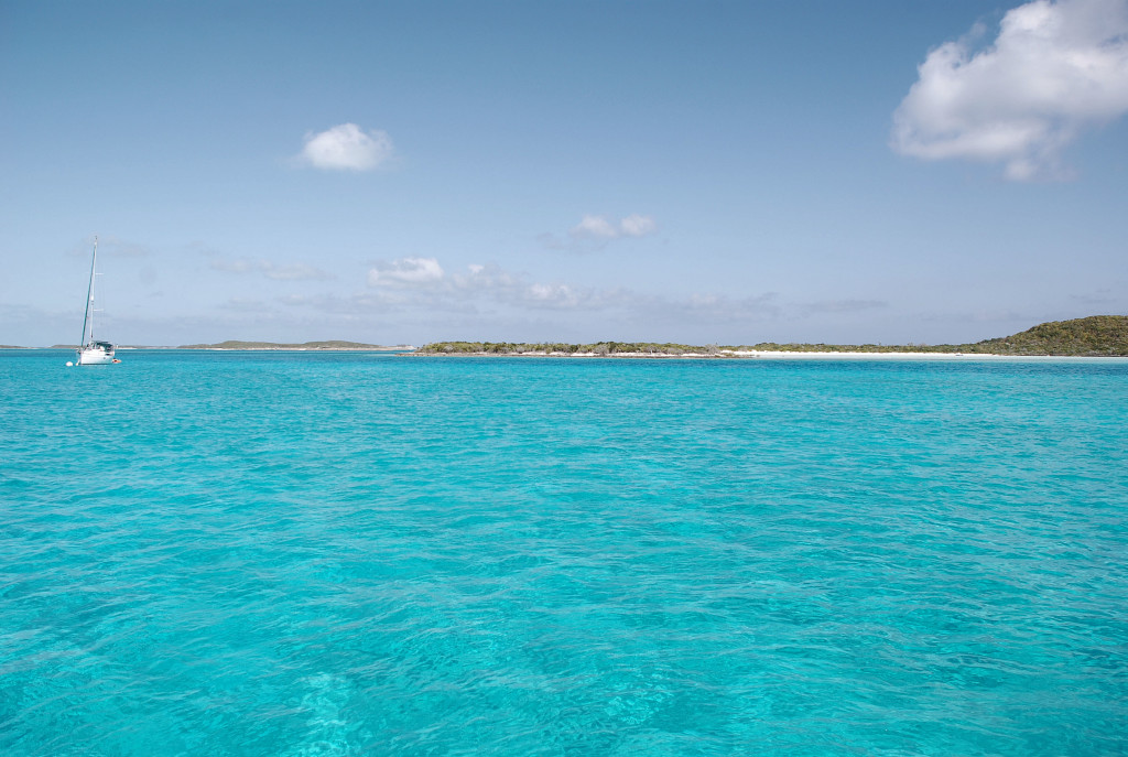
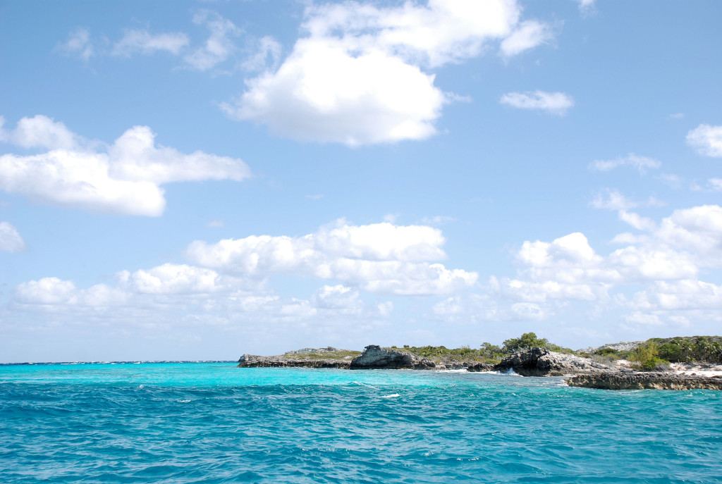
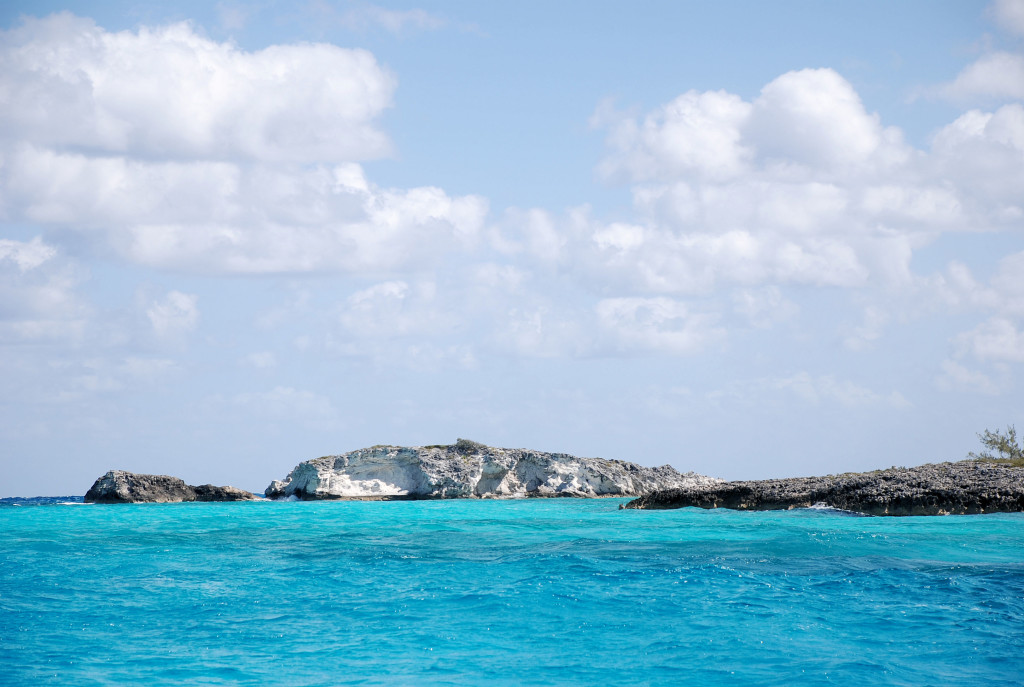
Sights traveling around Compass Cay on the way to Sampson. The water colors are amazing and the pictures can’t do it justice:
DSC_0043cmp
DSC_0039cmp

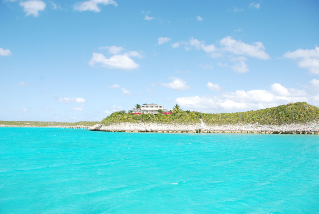
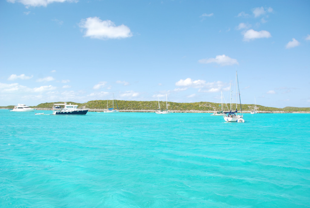
We are anchored in front of this house on Sampson Cay, and another view of some of the boats here:
DSC_0073cmp
DSC_0079cmp