Monthly Archives: September 2014

Back north again…up the Delaware Bay

9/30/14
Reedy Island Anchorage
Delaware River
Position: 39 30.767N, 75 34.268W
Posted by Bill

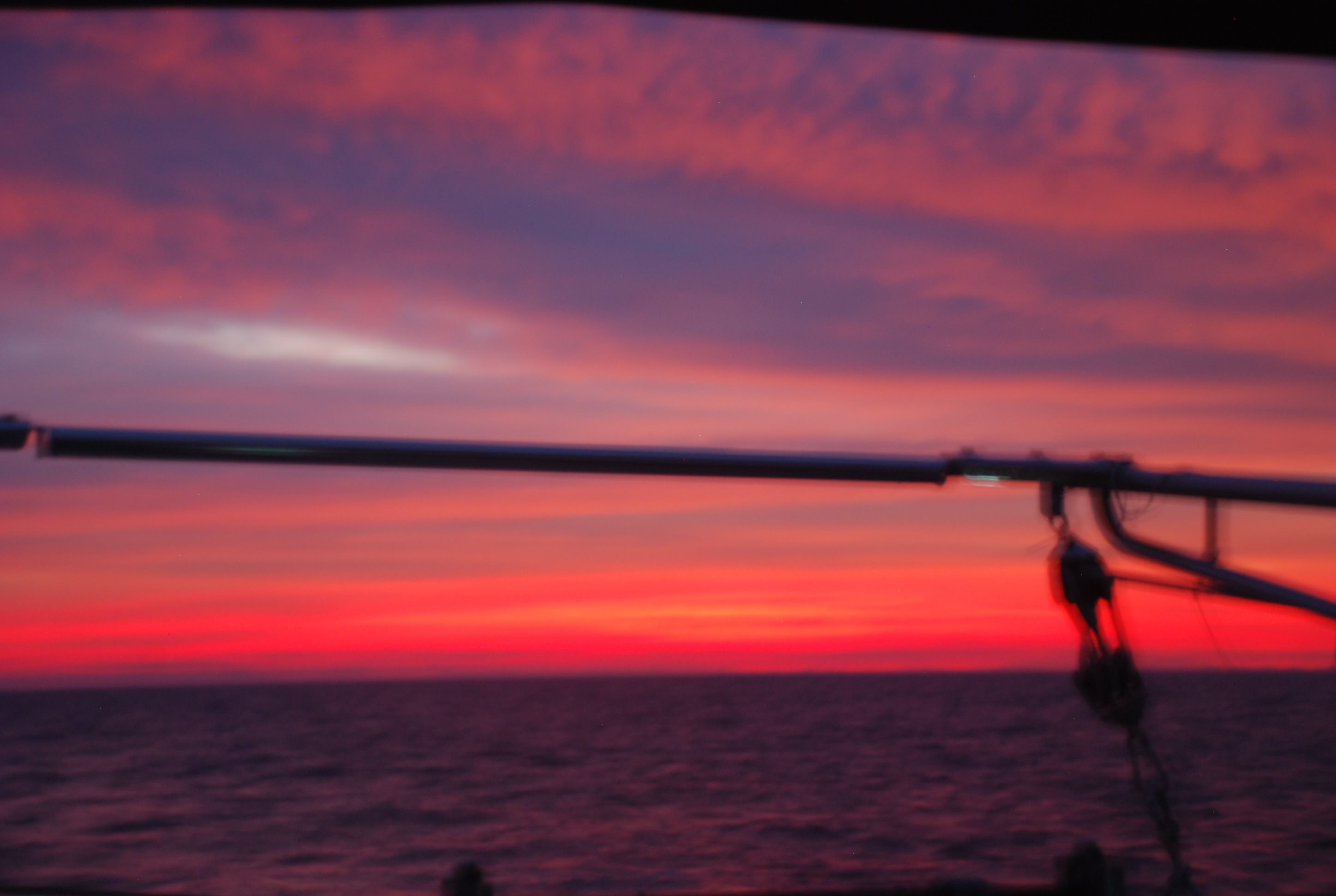
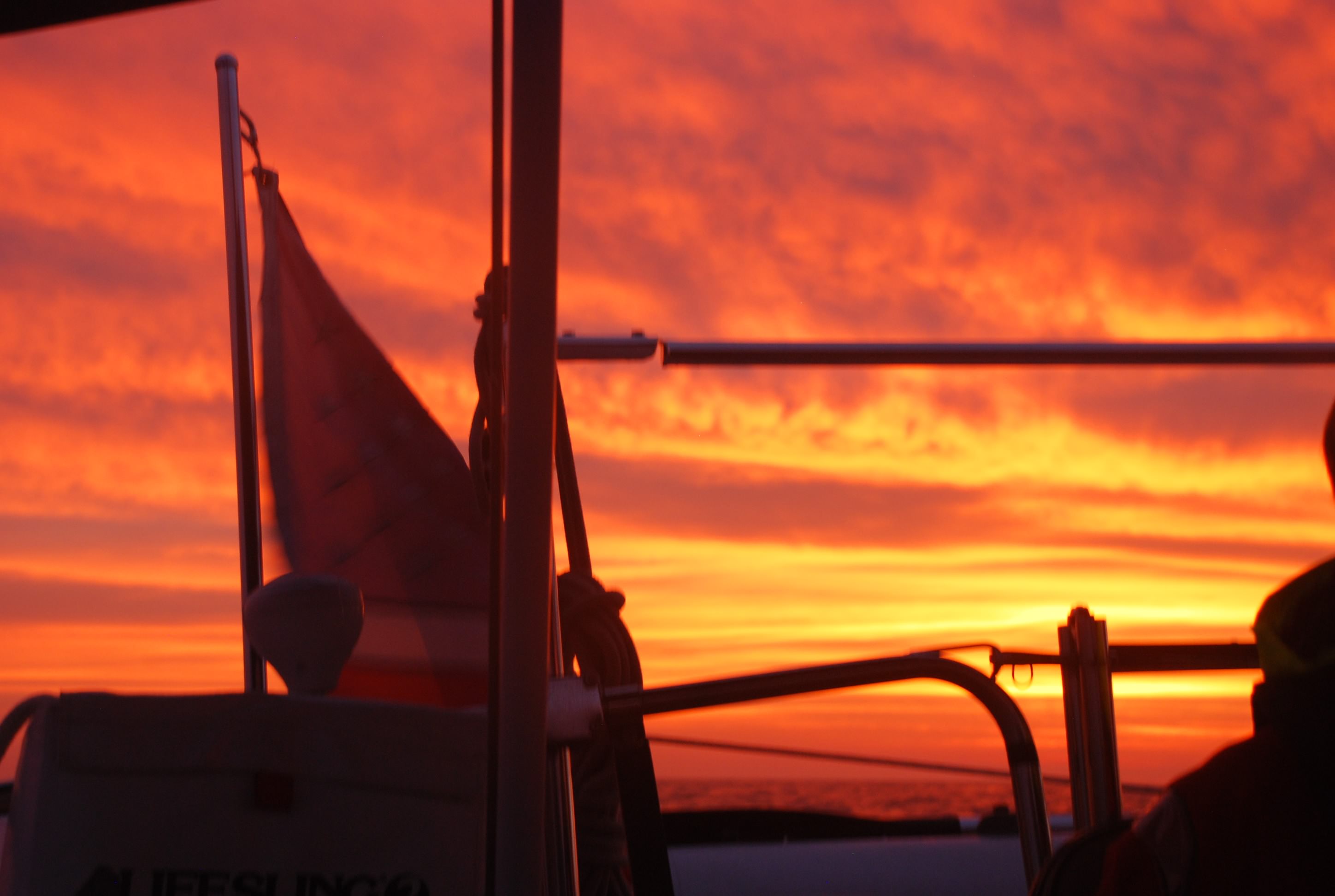
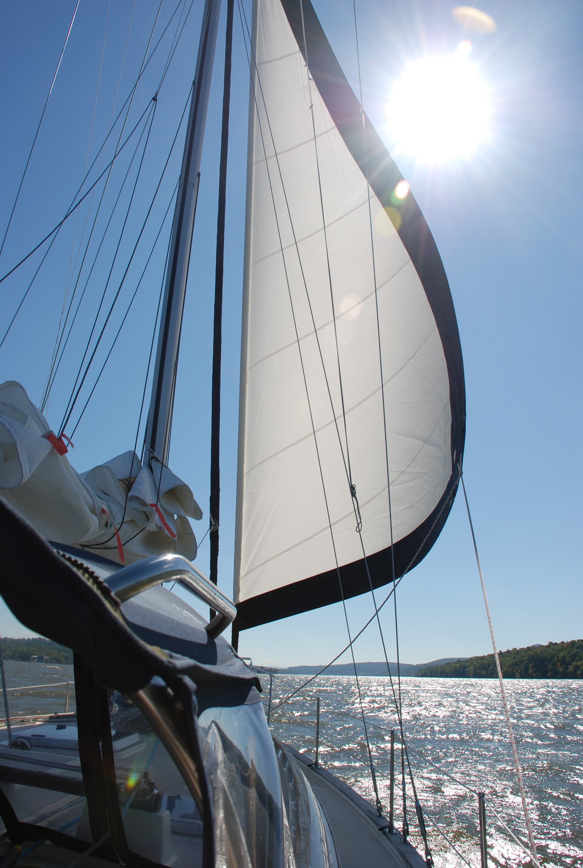
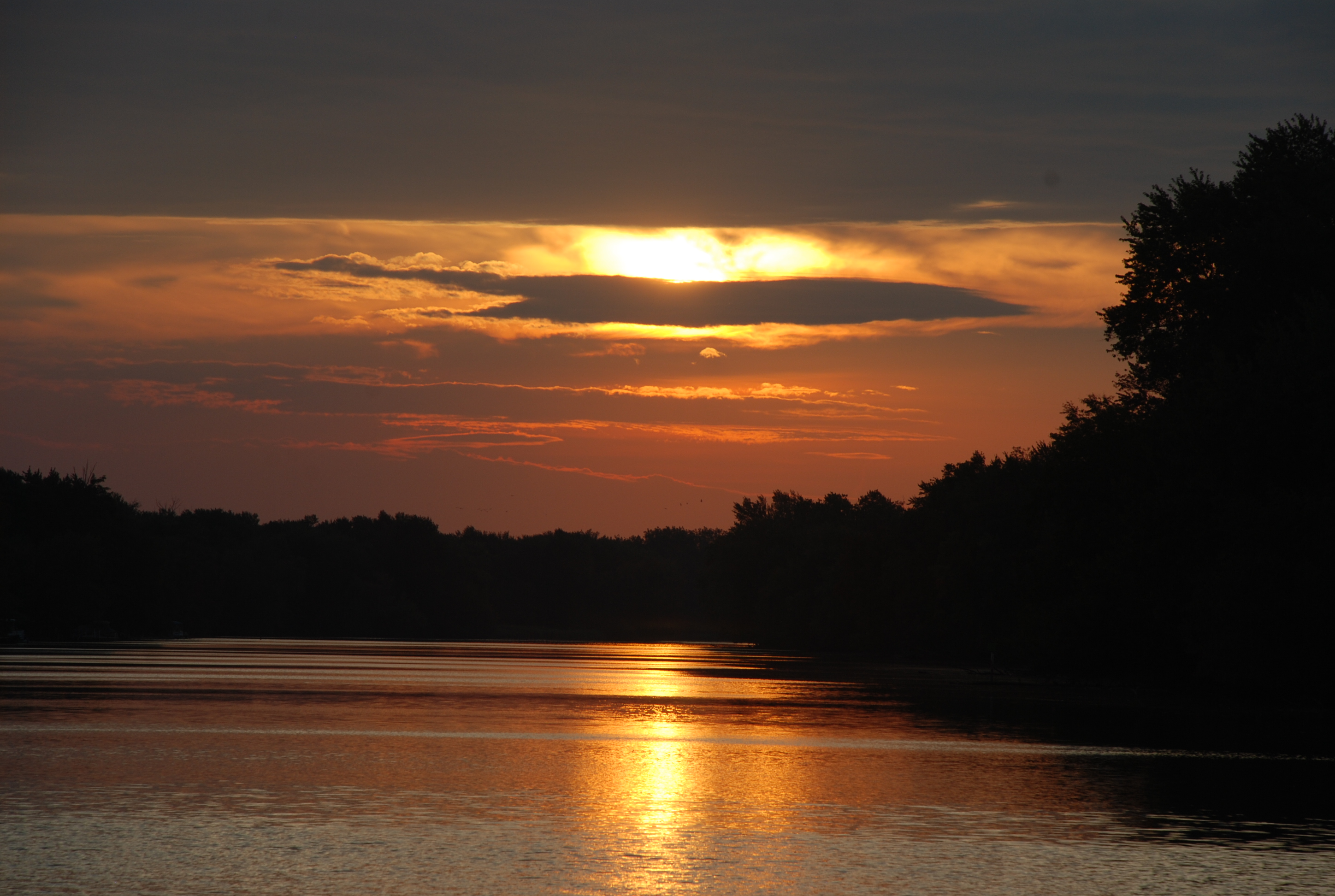
Went up the Delaware Bay today. Traveled 61.5 nautical miles (for you land lubbers…a nautical mile is 1.151 statute miles) to a lovely anchorage just south of the C&D canal which takes you over to the Chesapeake Bay. We took advantage of a great weather window and a 2+ knot tidal current going up the bay. Anchored at Reedy Island around 4:20 PM.

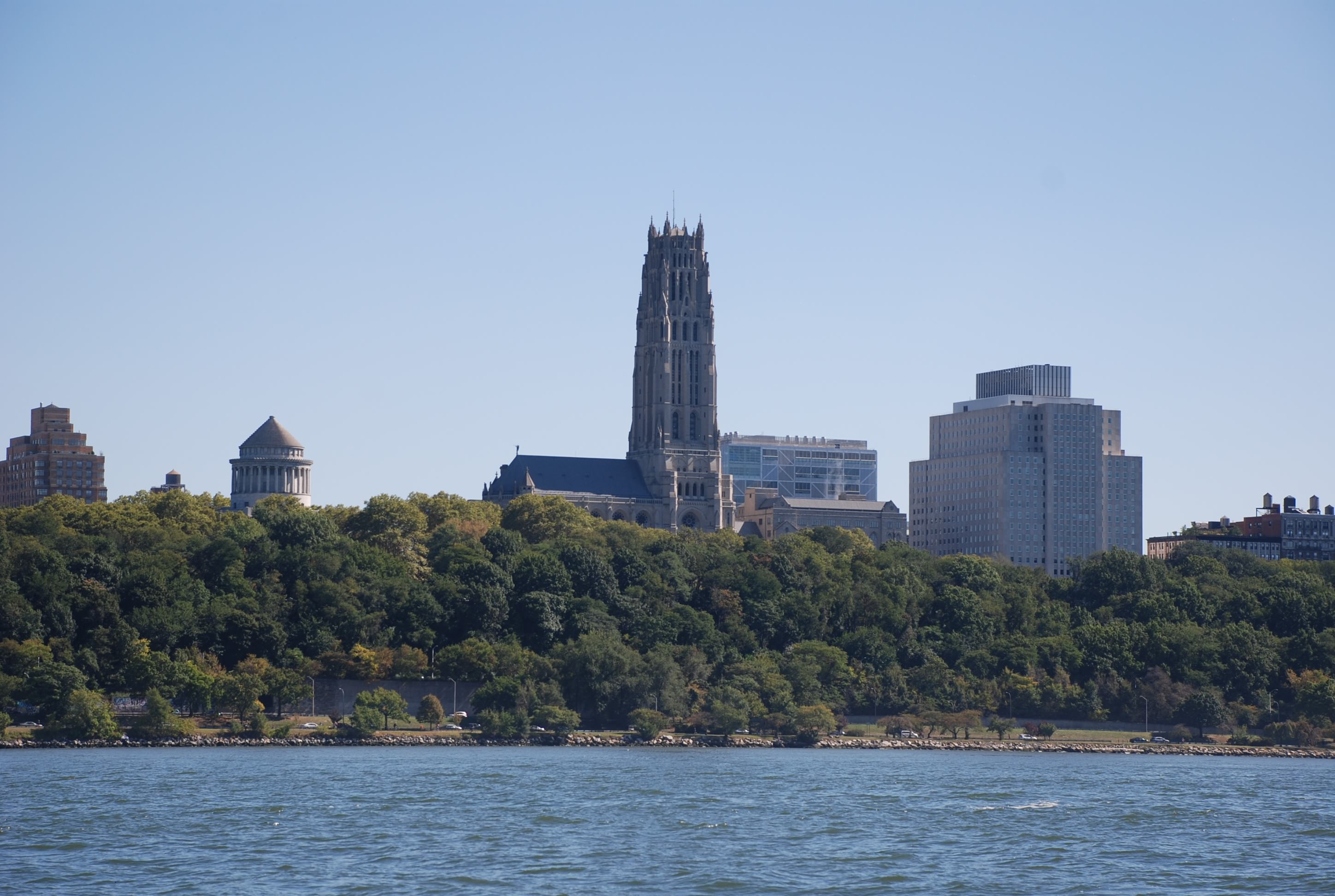
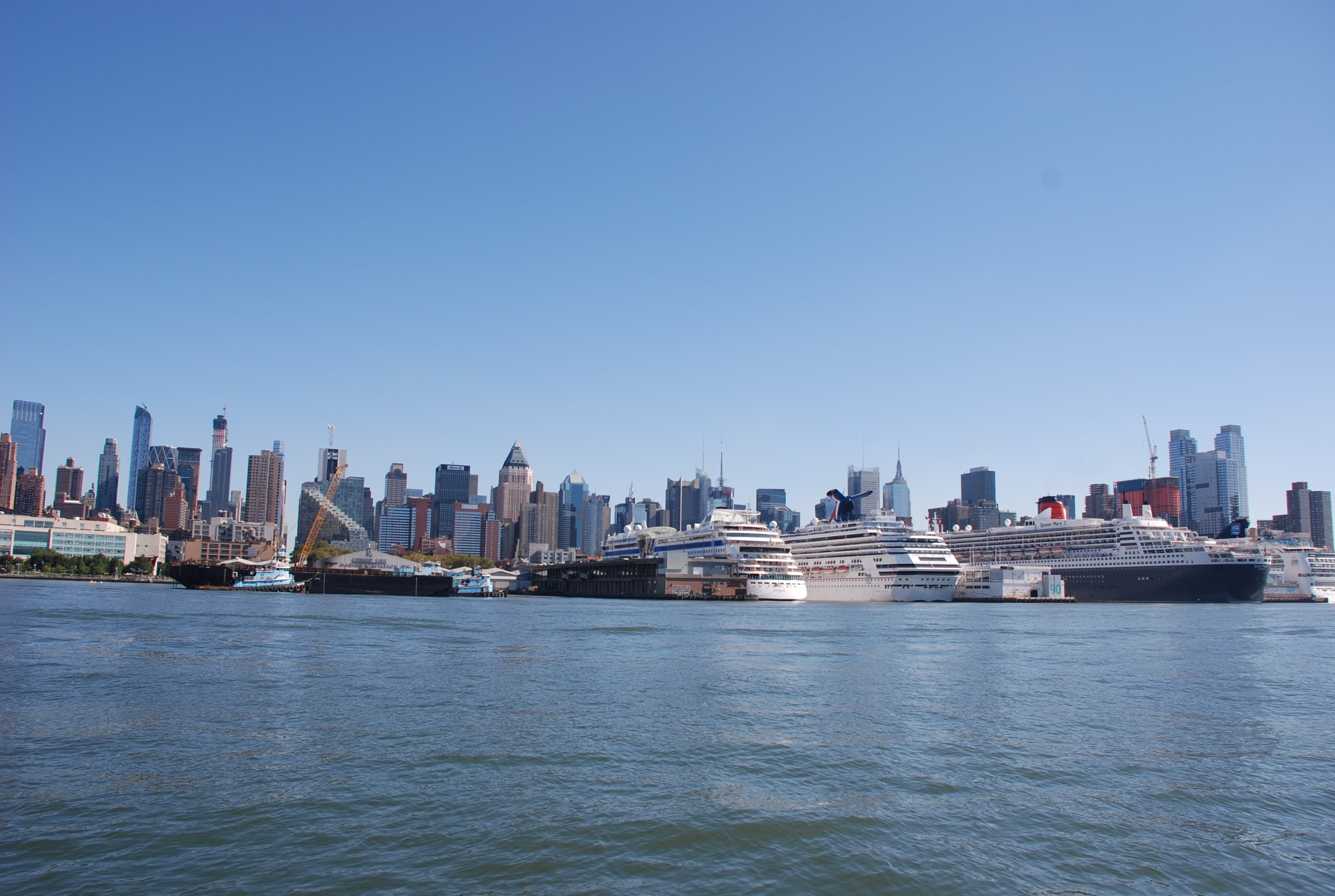
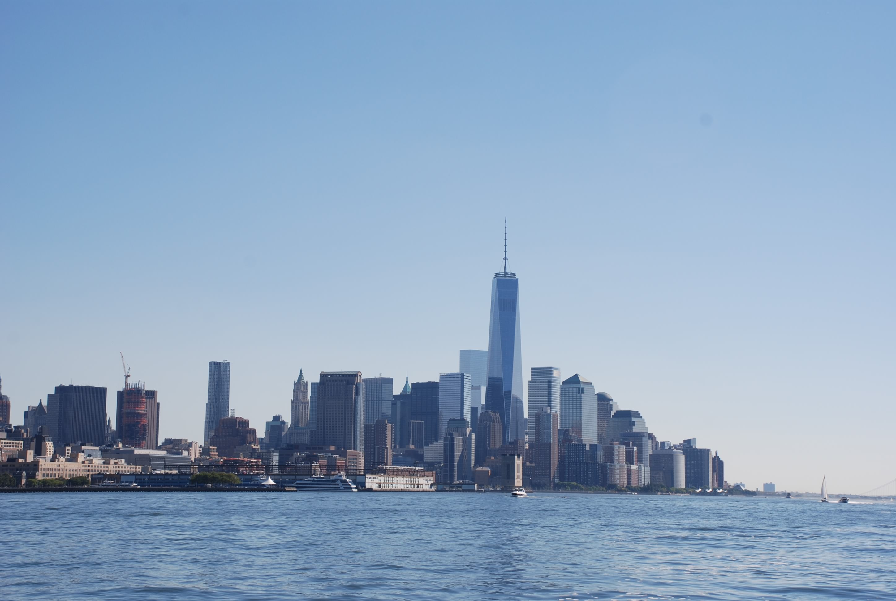
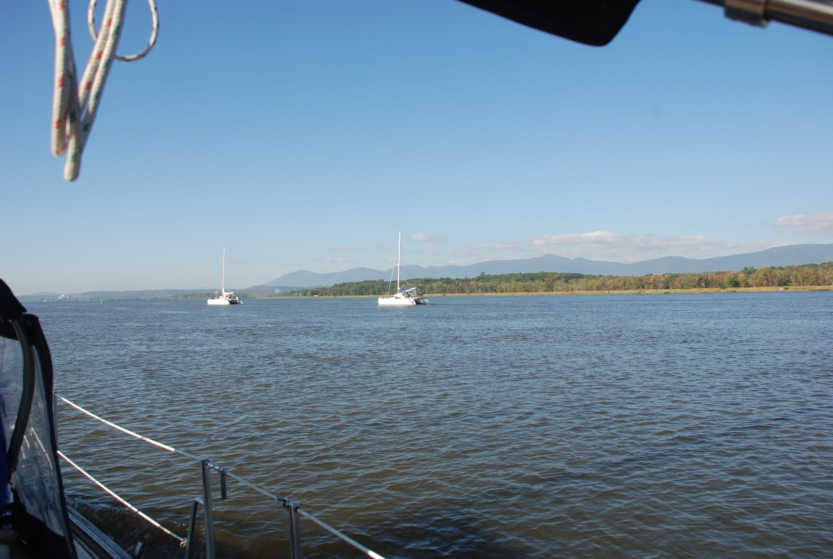
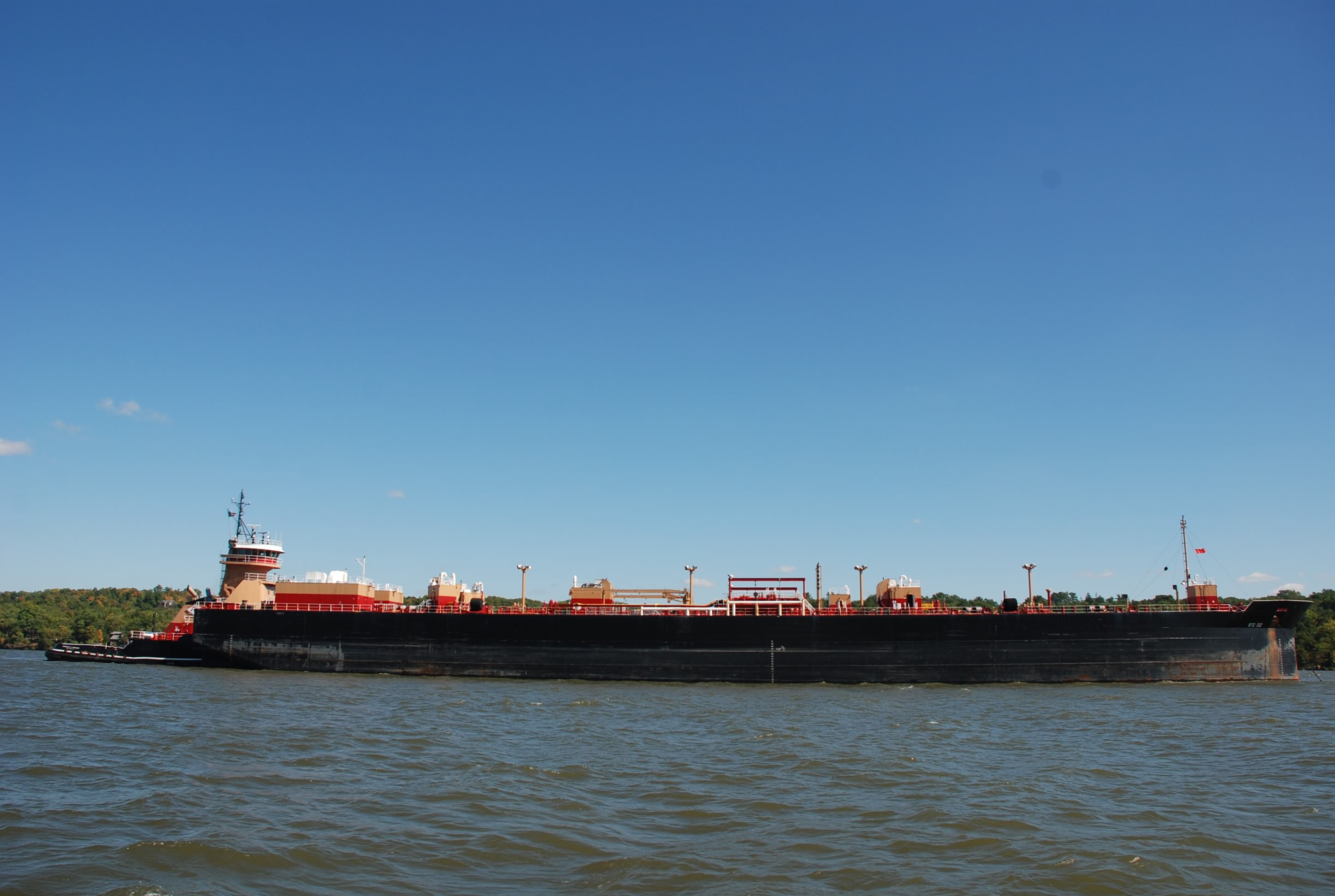
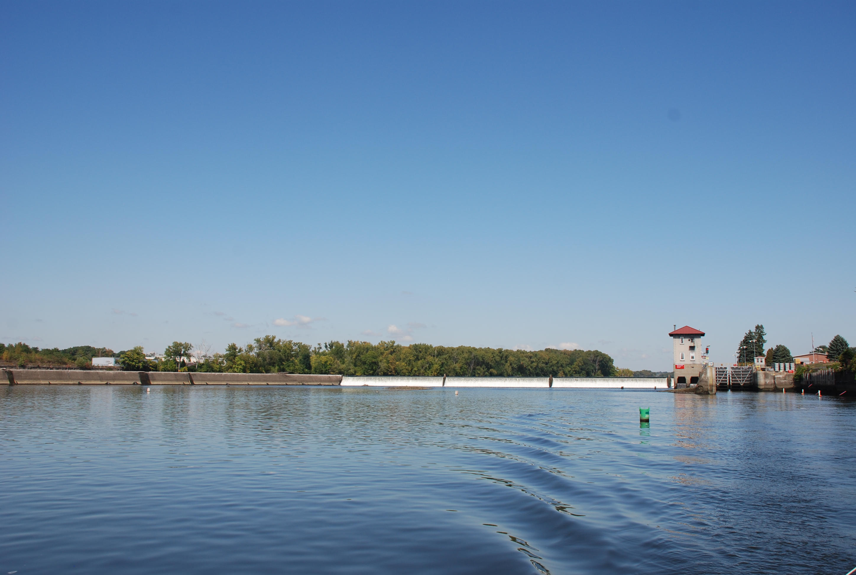
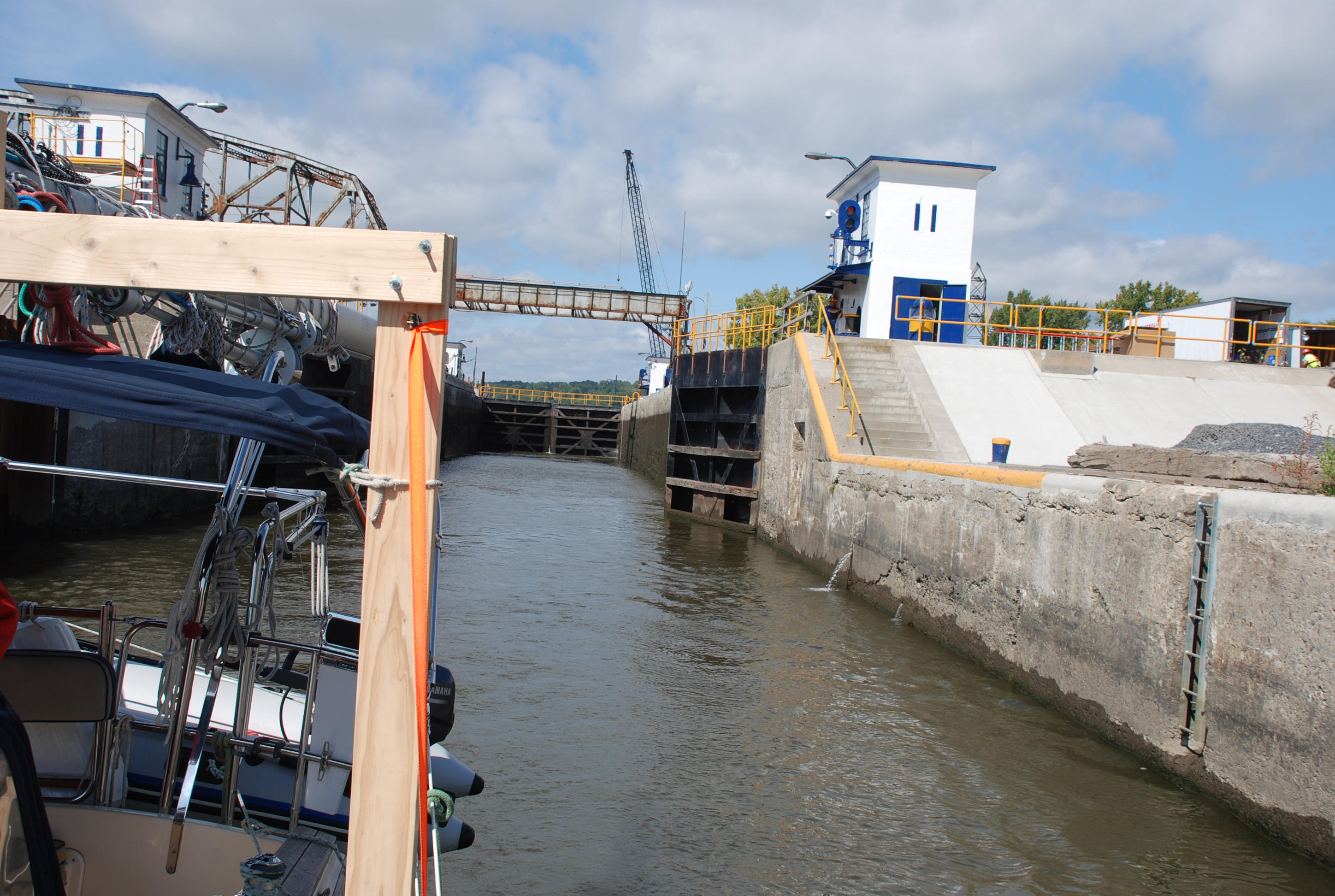
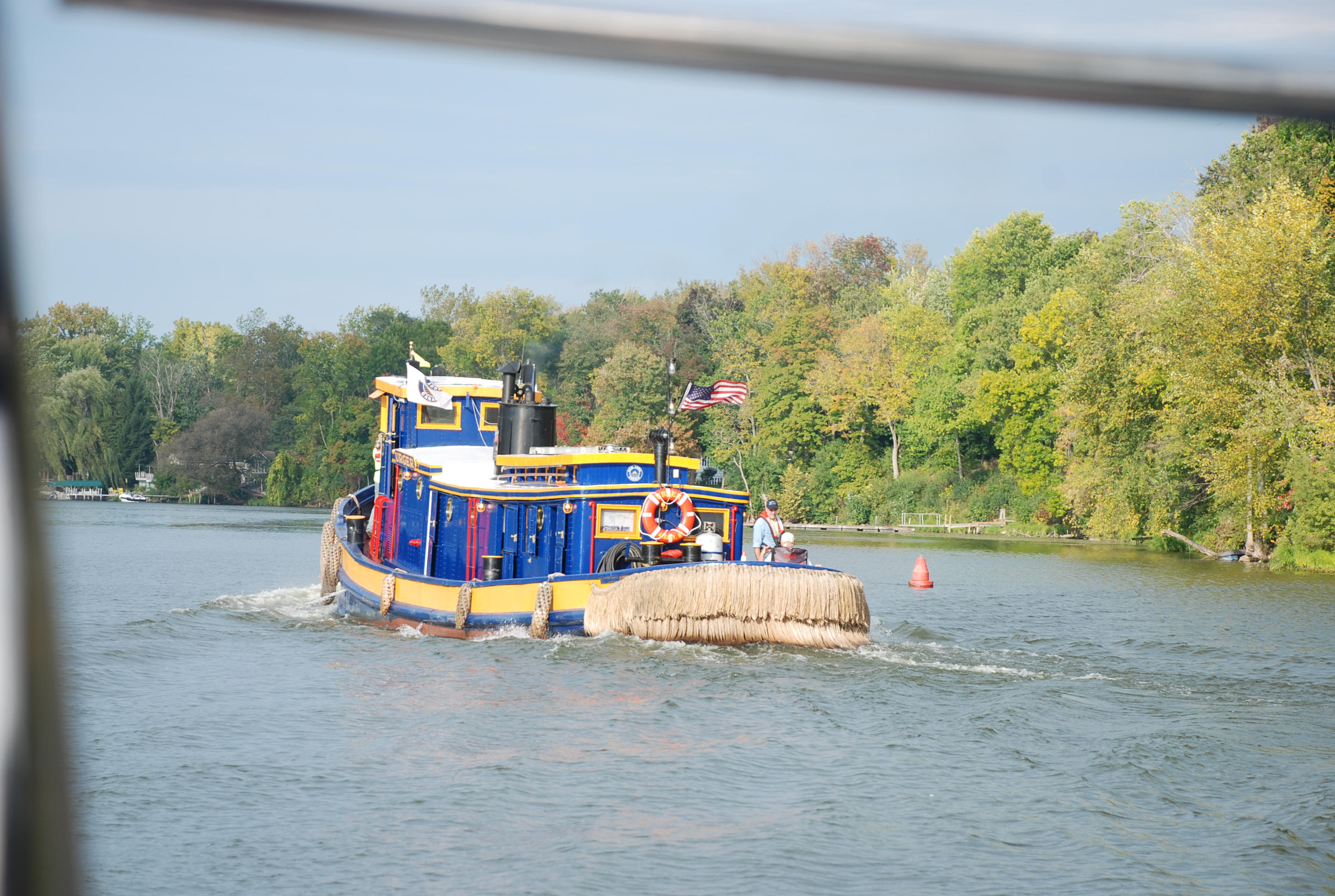
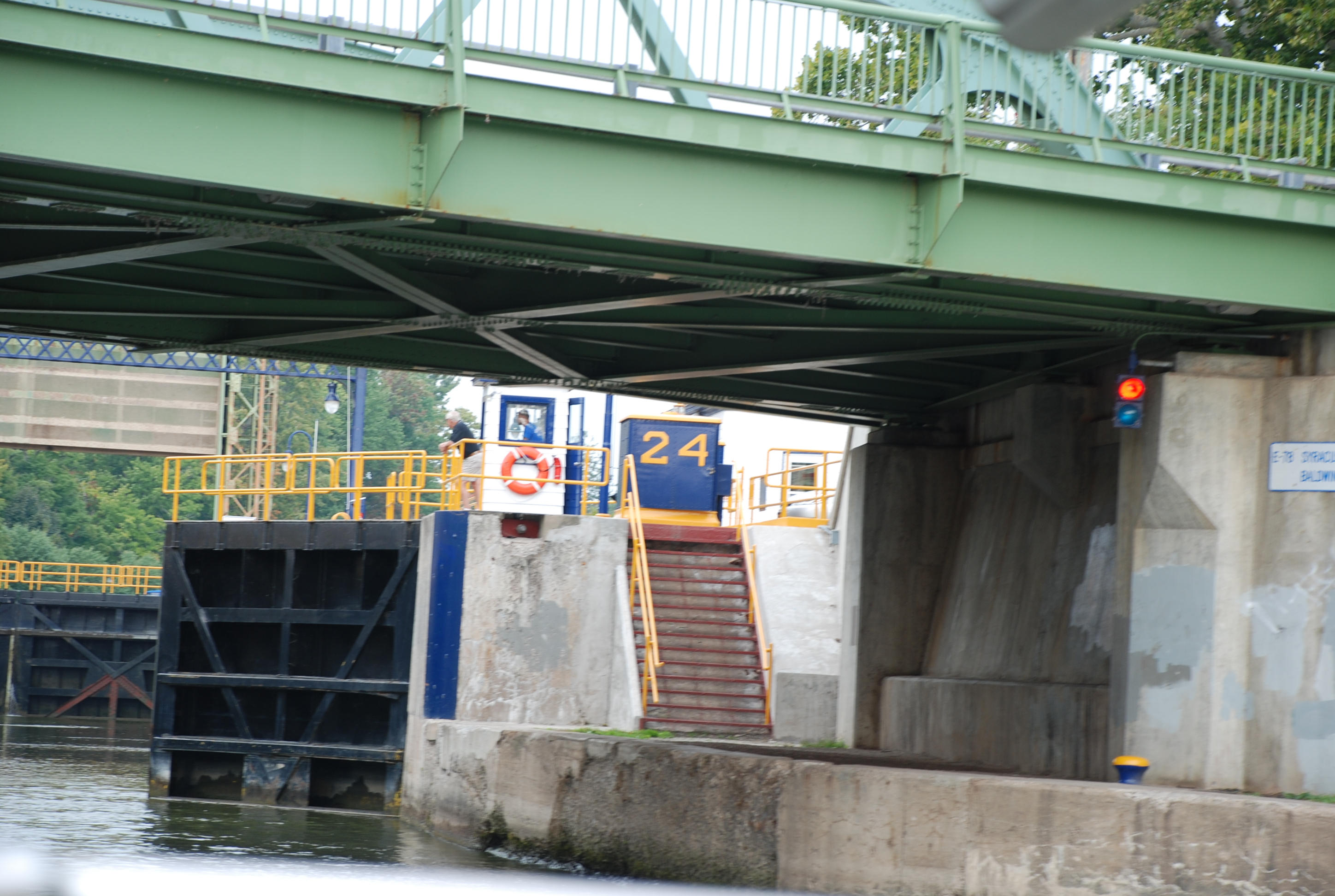
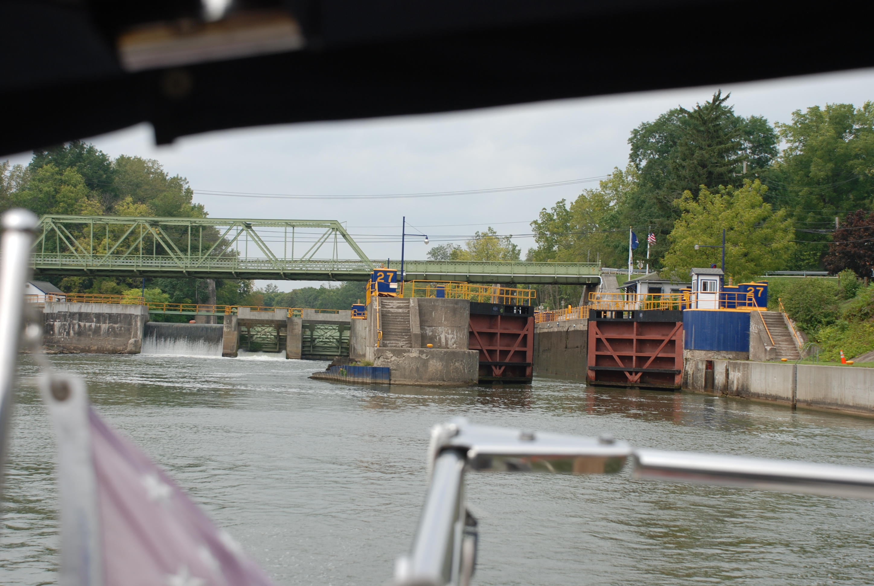
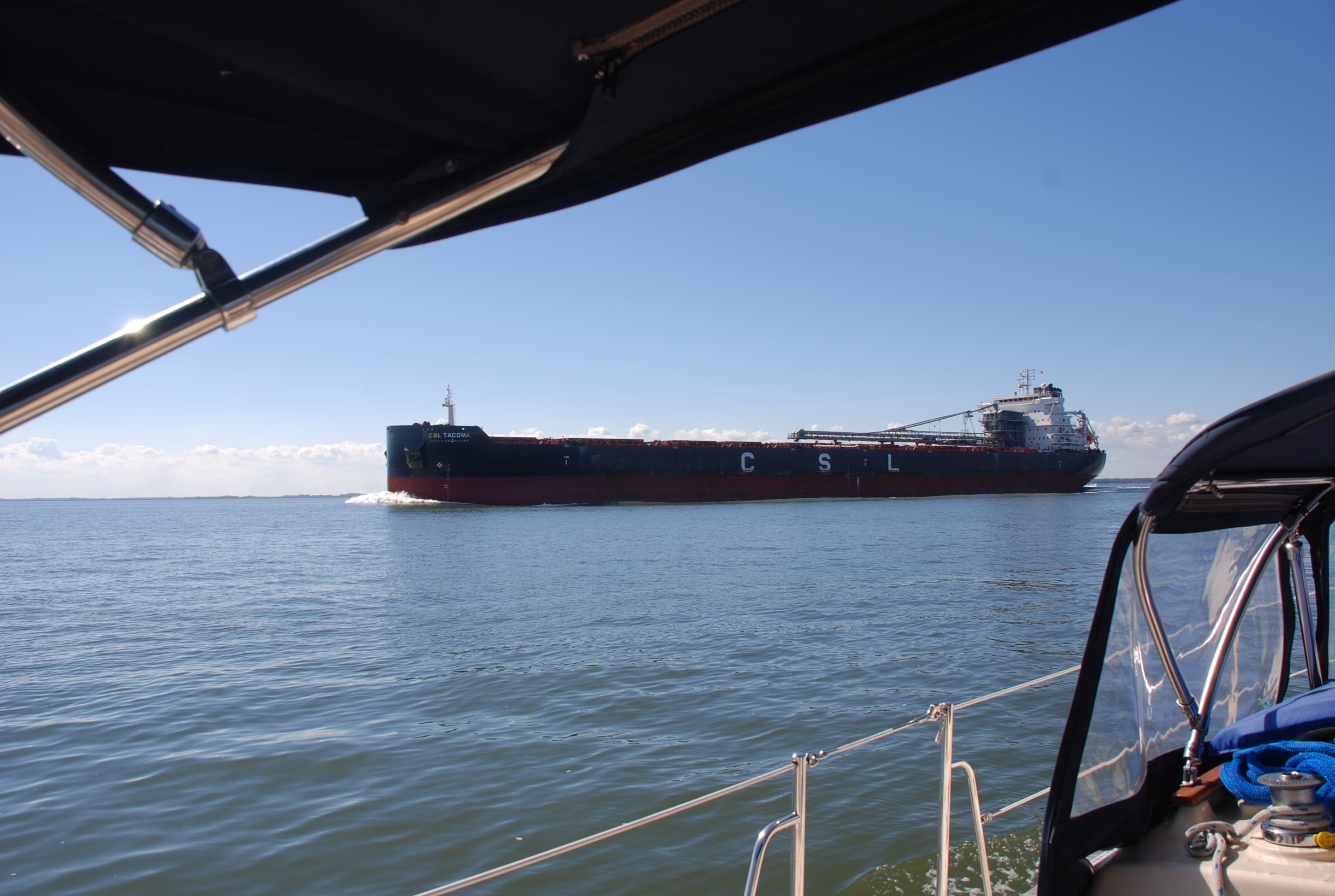
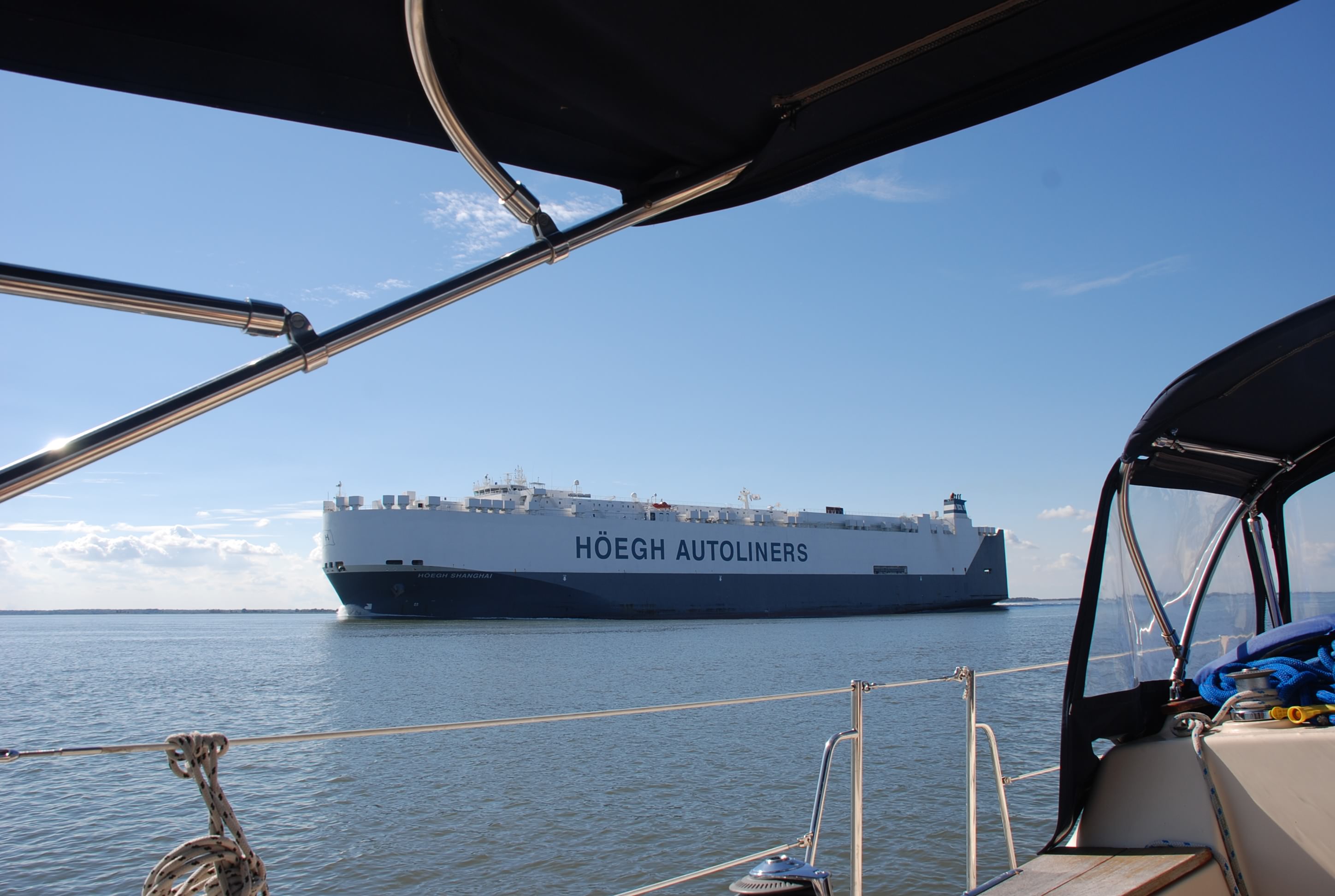
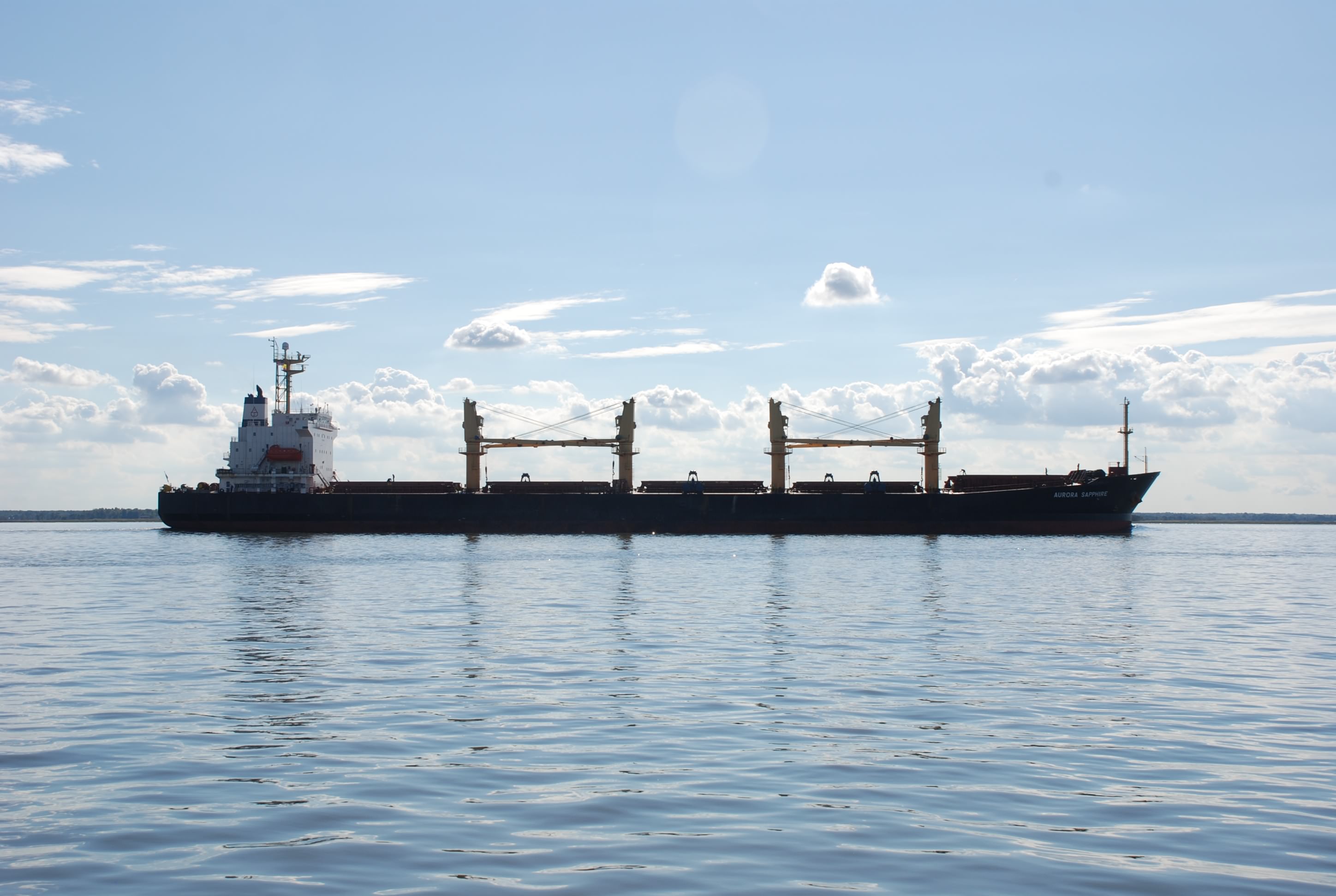
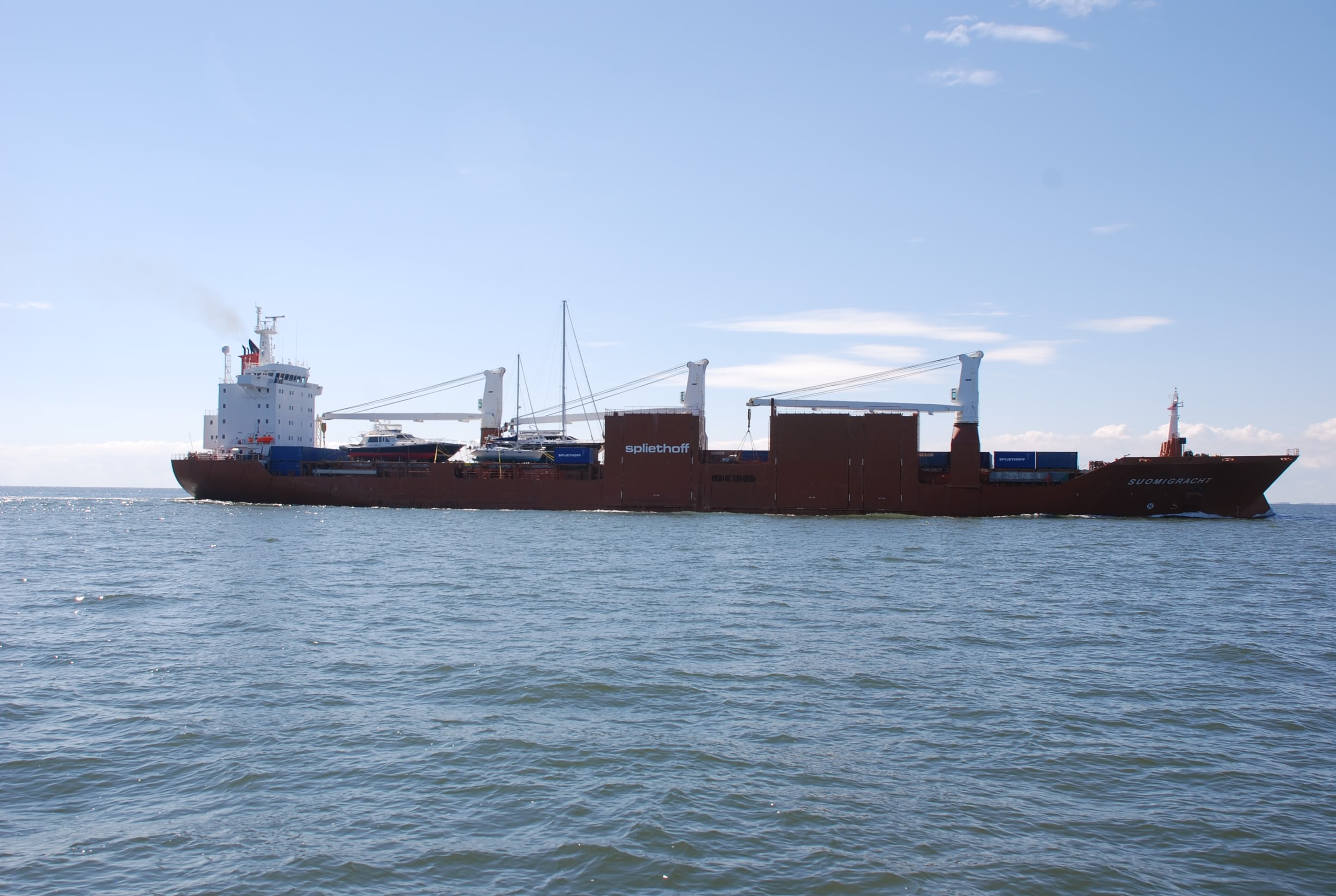
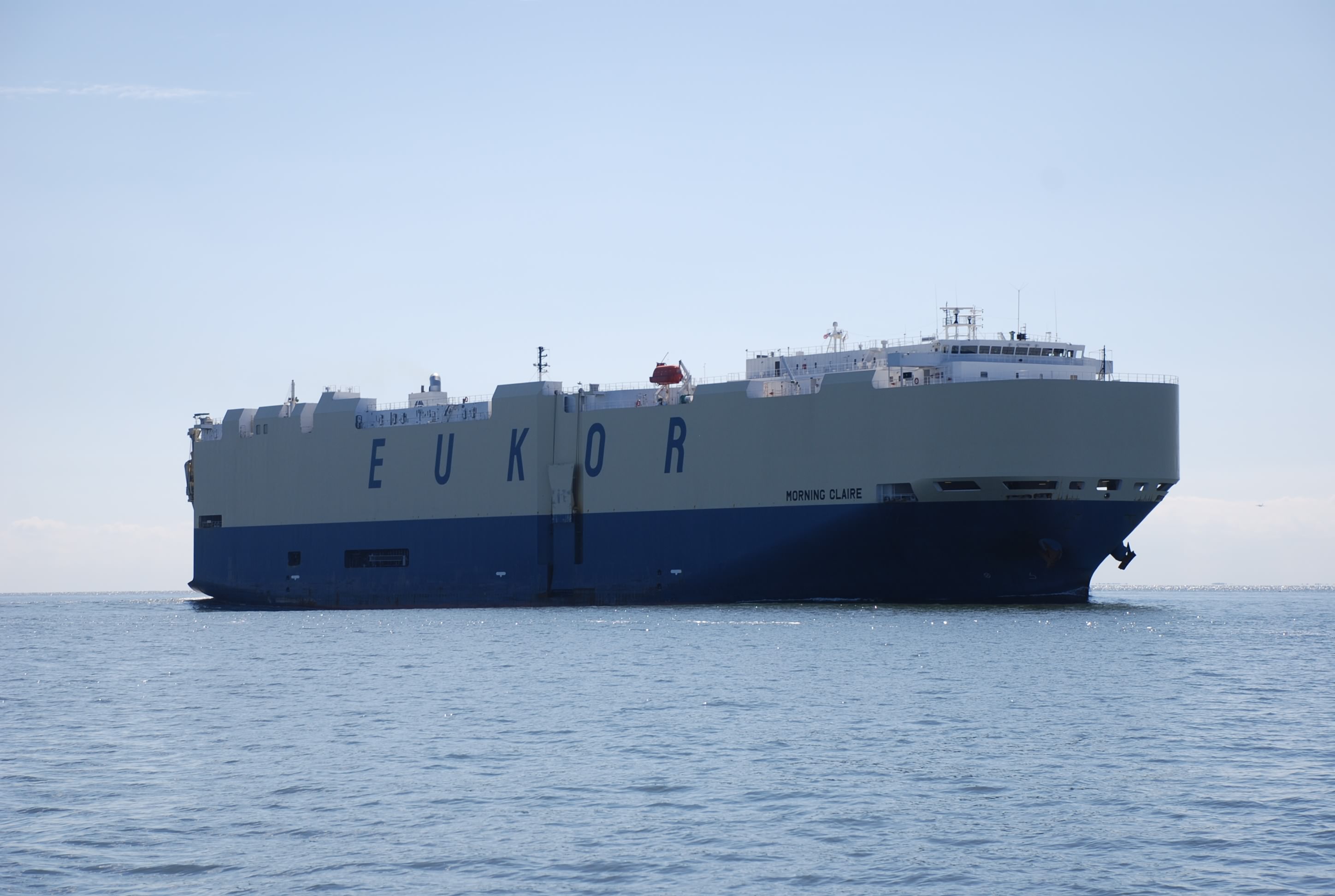
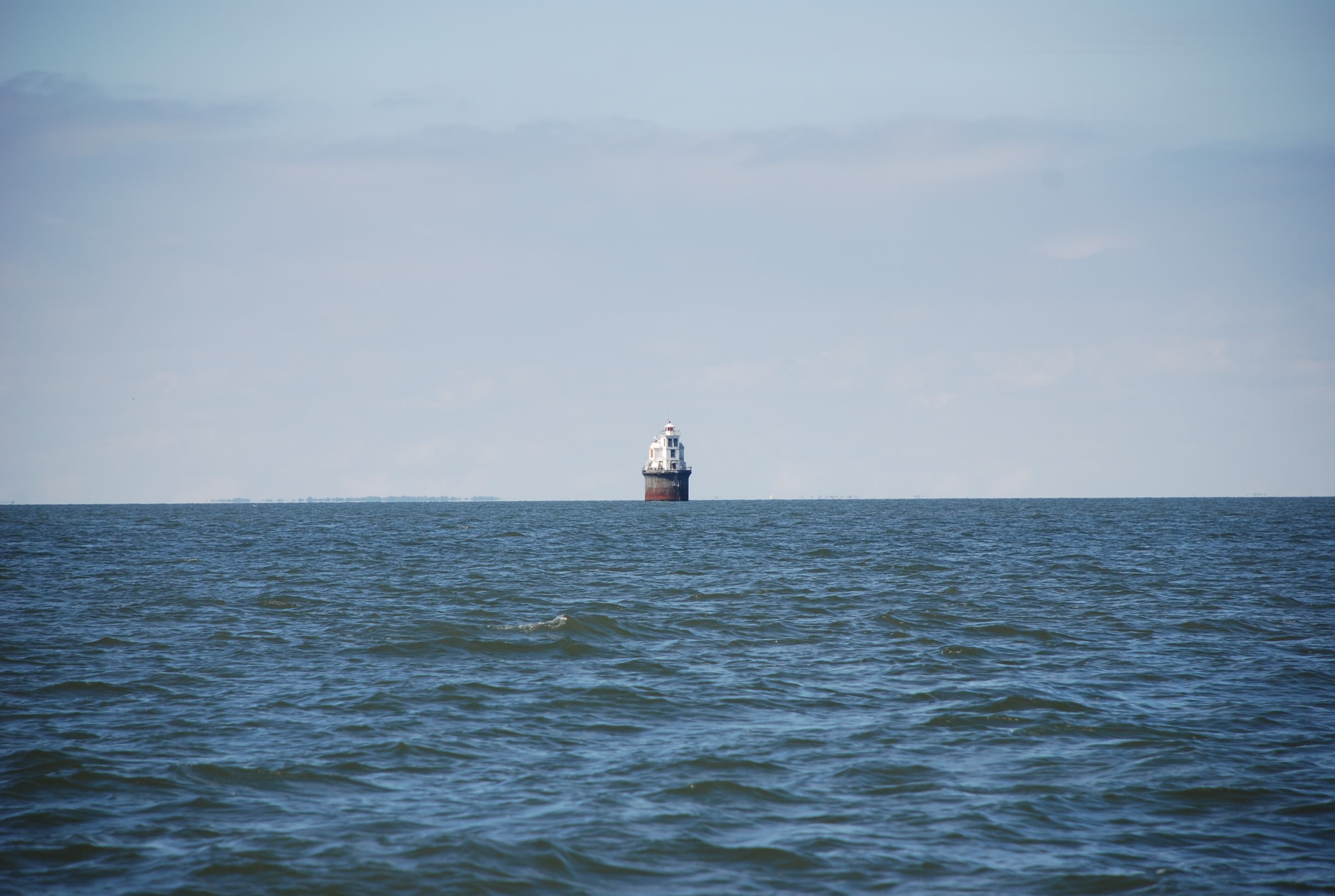
The C&D canal and the Delaware Bay are some of the busiest waterways for shipping traffic in the world. We saw lots of ships. These big boys were hundreds of feet in length and were tankers and cargo ships. One even was transporting boats! Here are some pics:
DSC_0107 (2)
DSC_0110 (2)
DSC_0111 (2)
DSC_0093 (2)
DSC_0100 (2)
DSC_0102 (2)
DSC_0105 (2)

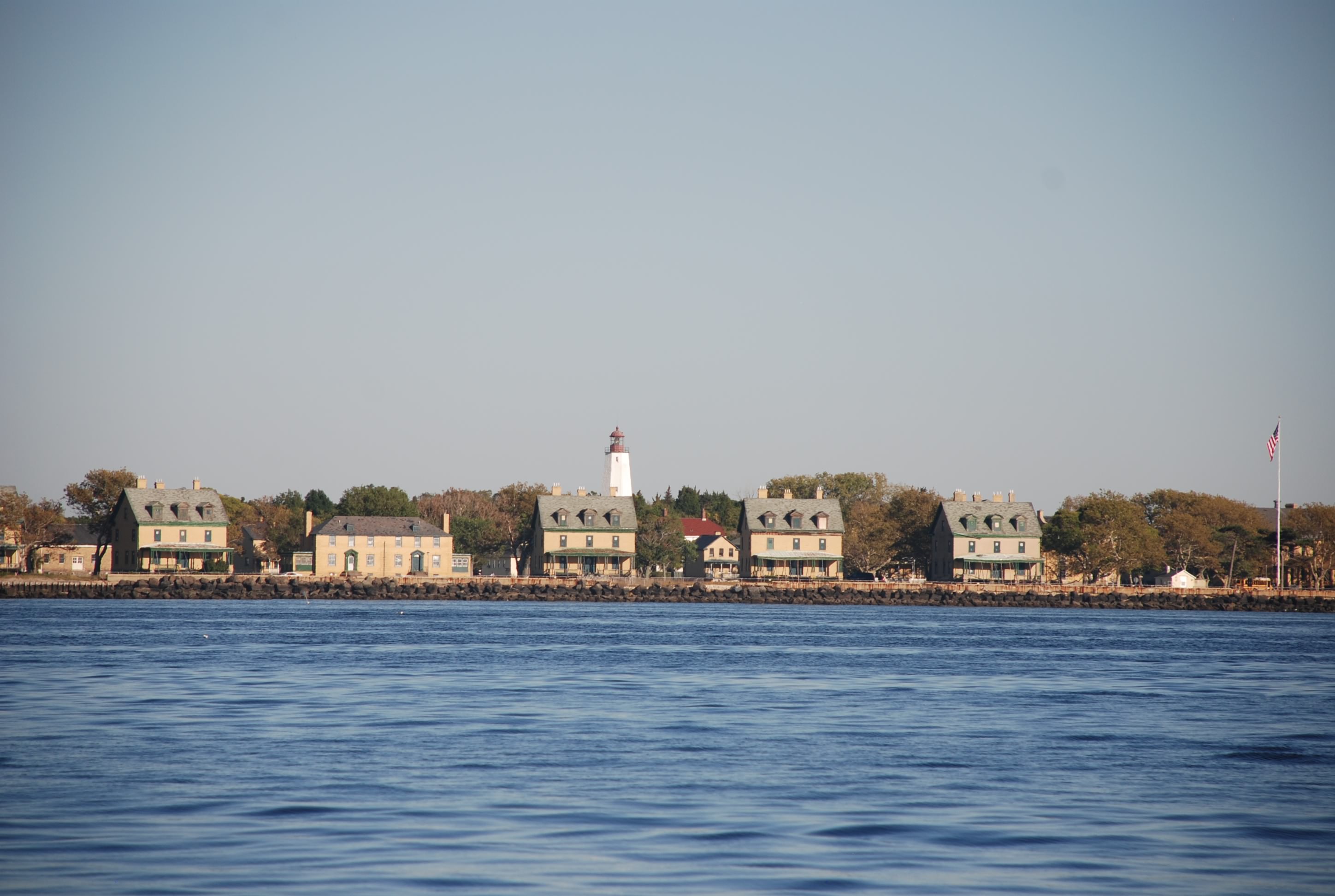
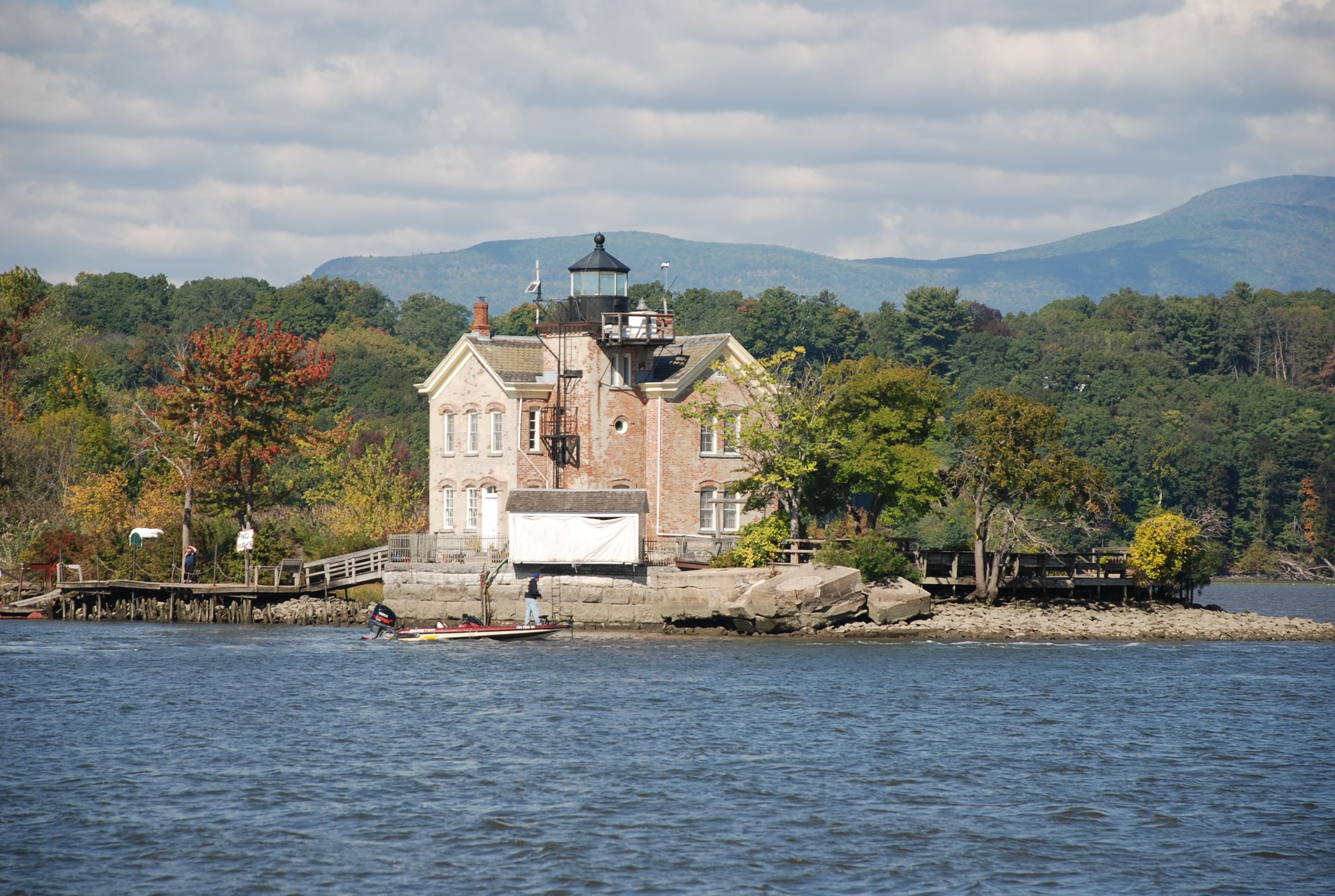
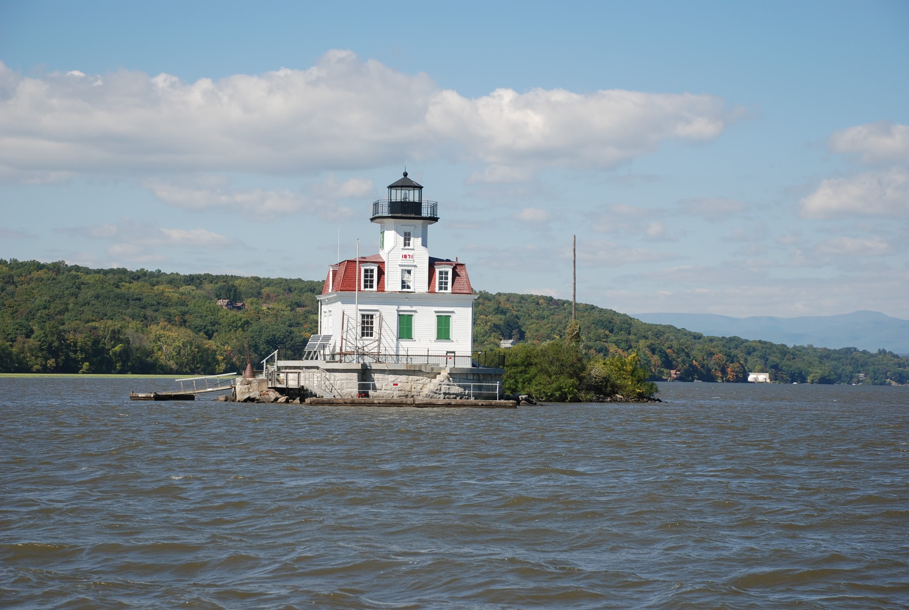
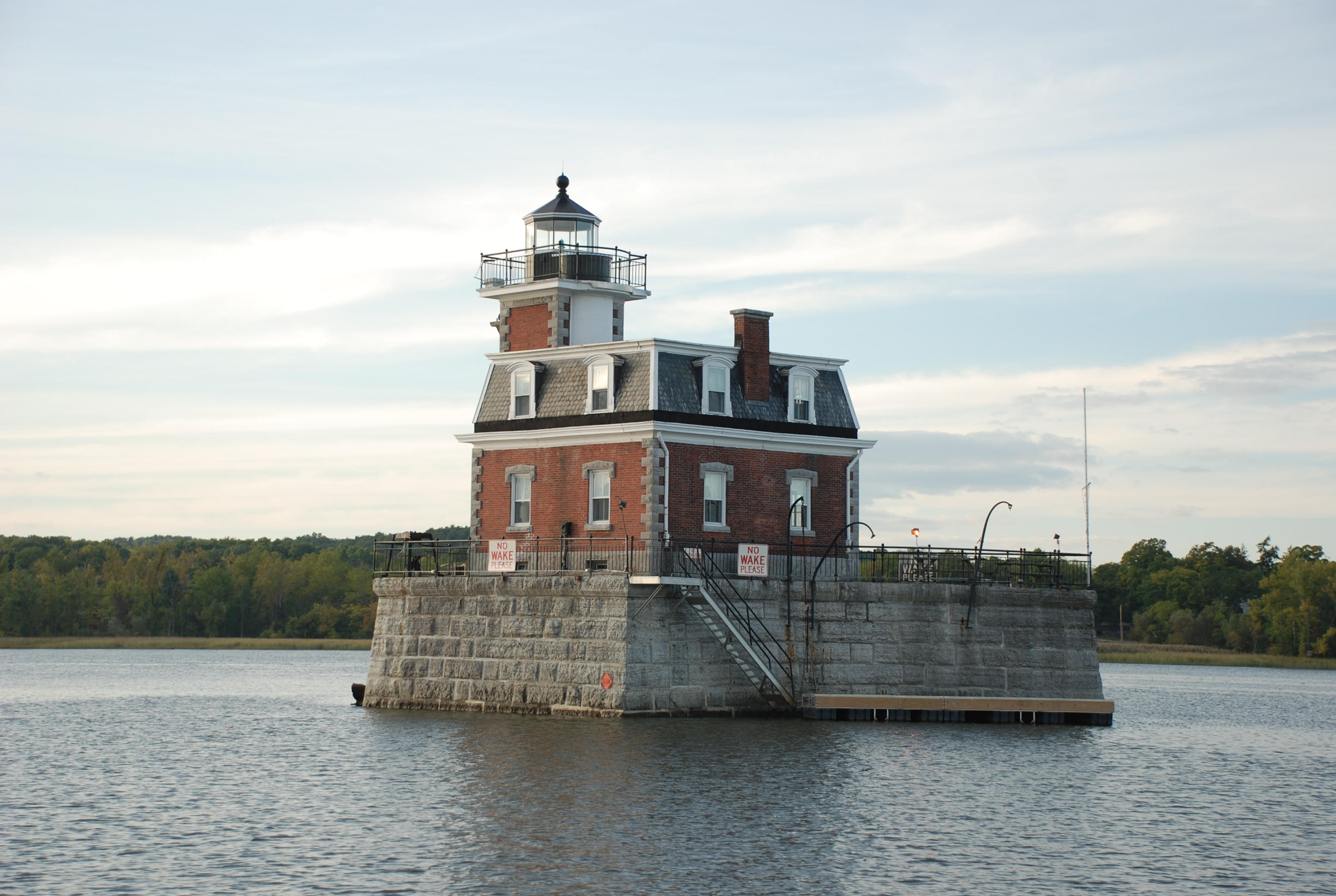
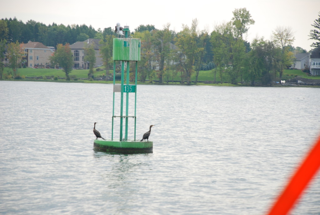
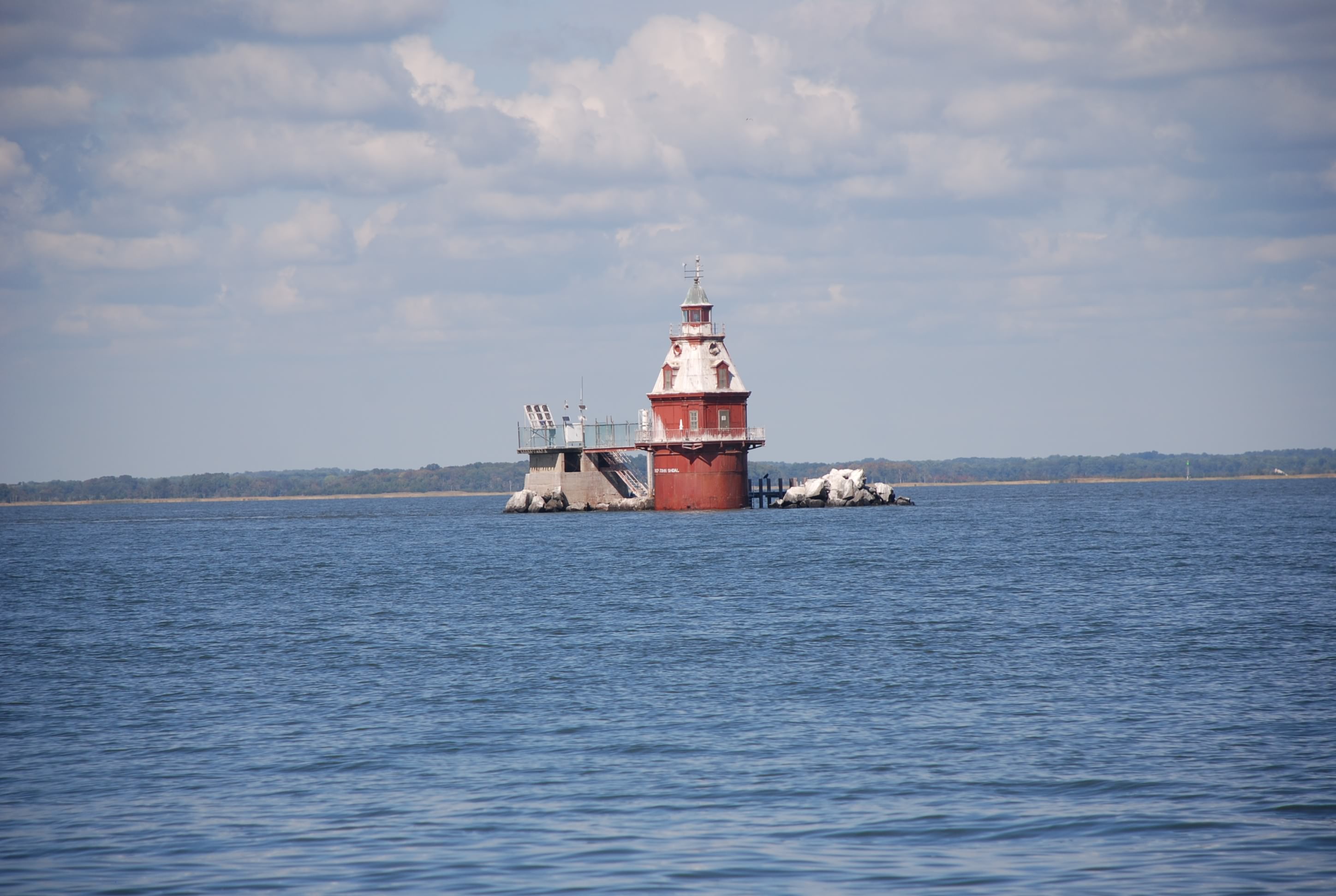
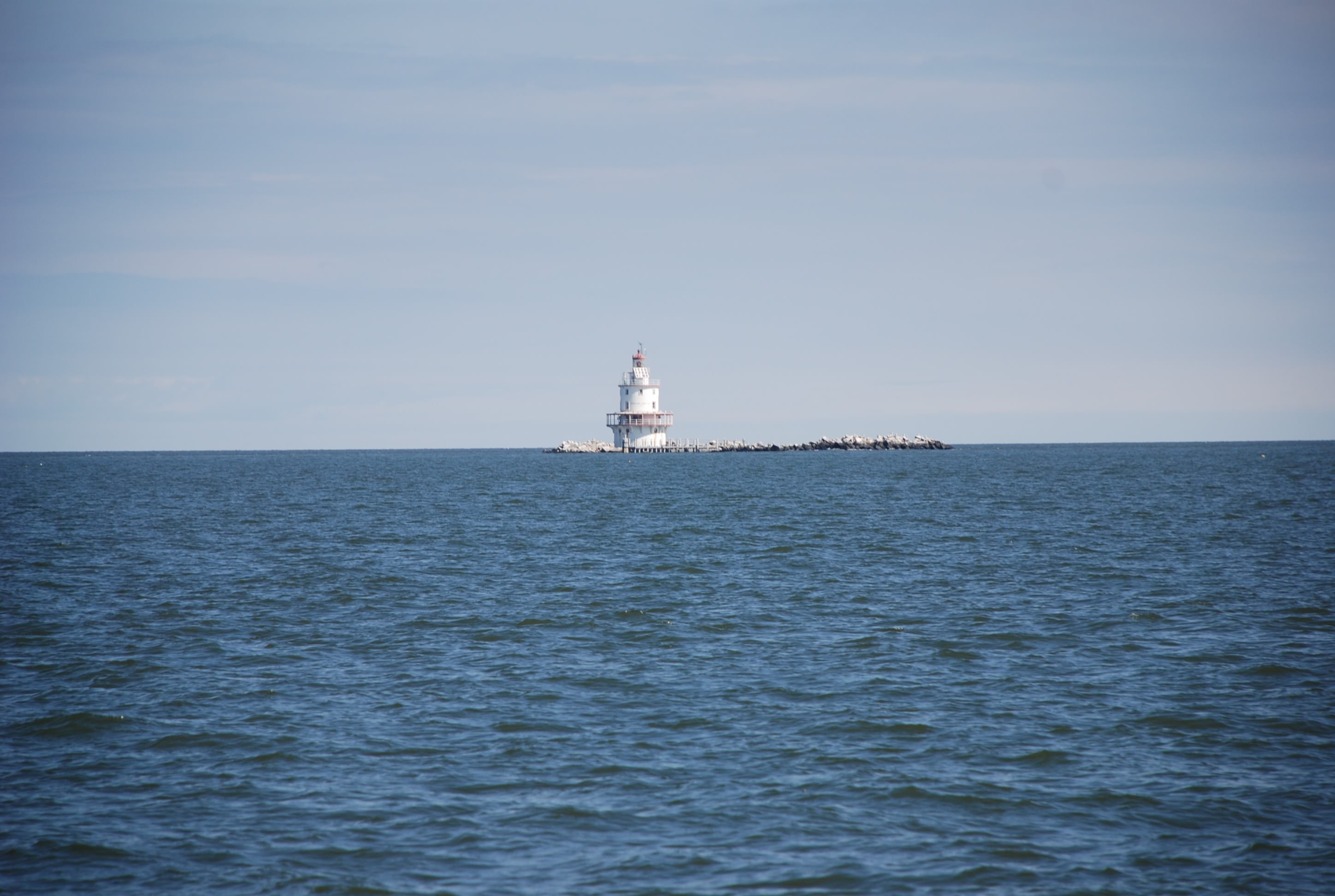
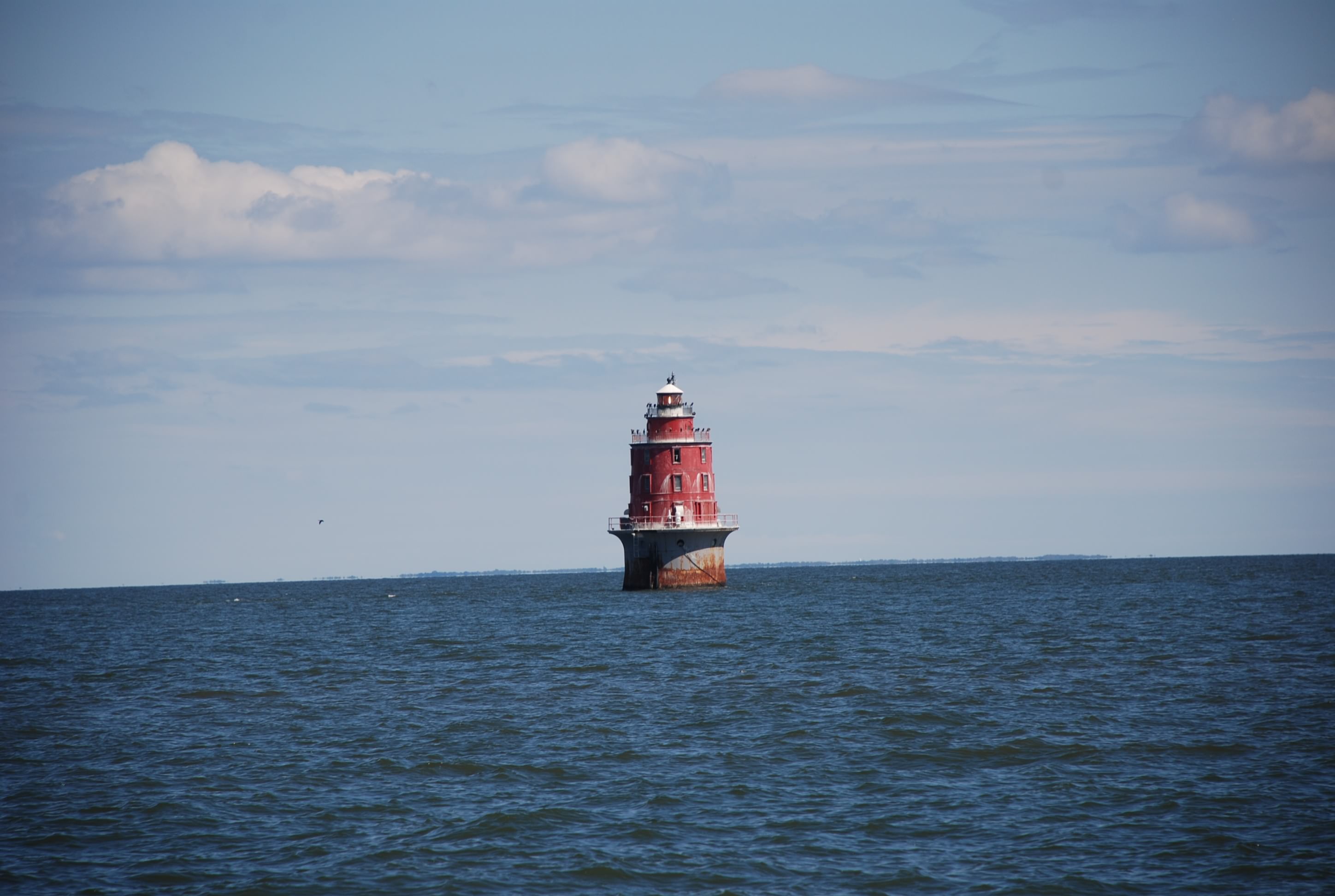
And then there are lighthouses marking the numerous shoals along the bay:
DSC_0109 (2)
DSC_0090 (2)
DSC_0096 (2)
DSC_0103 (2)

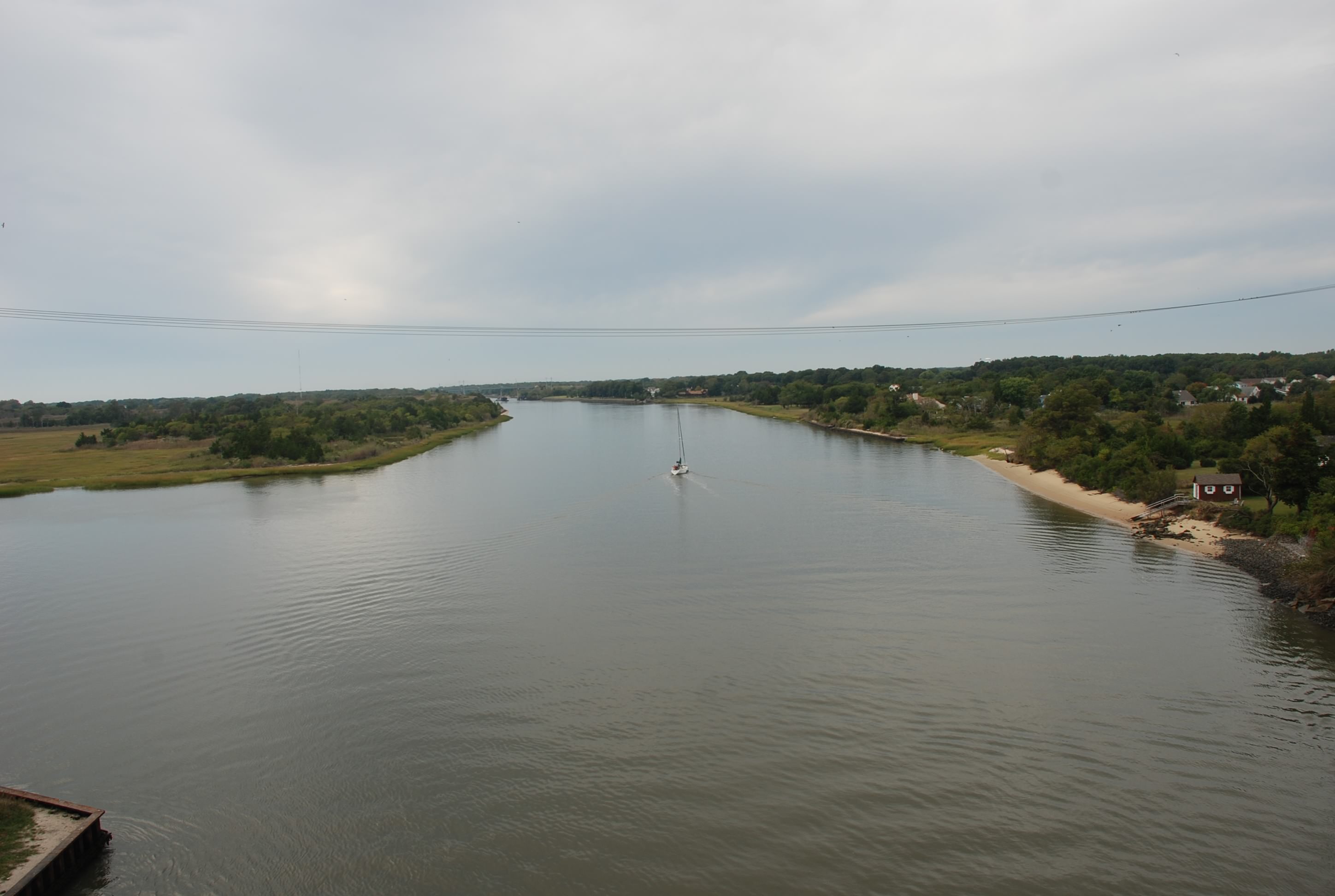
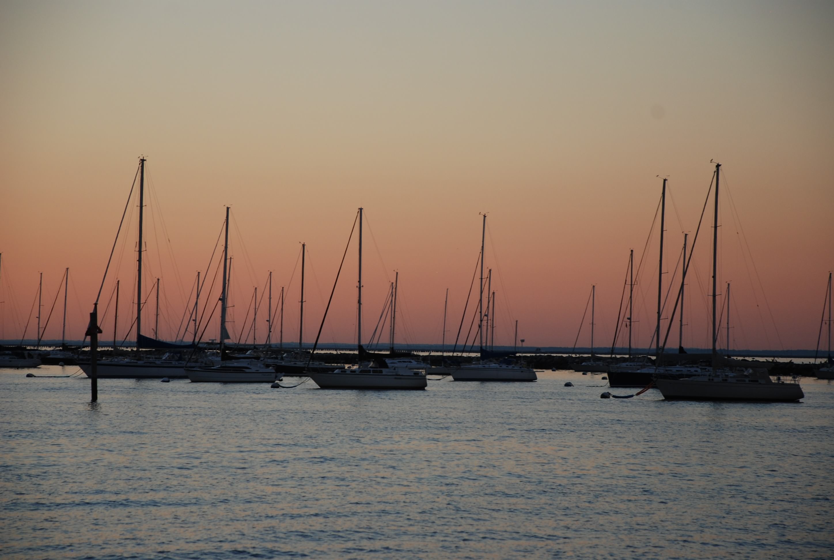
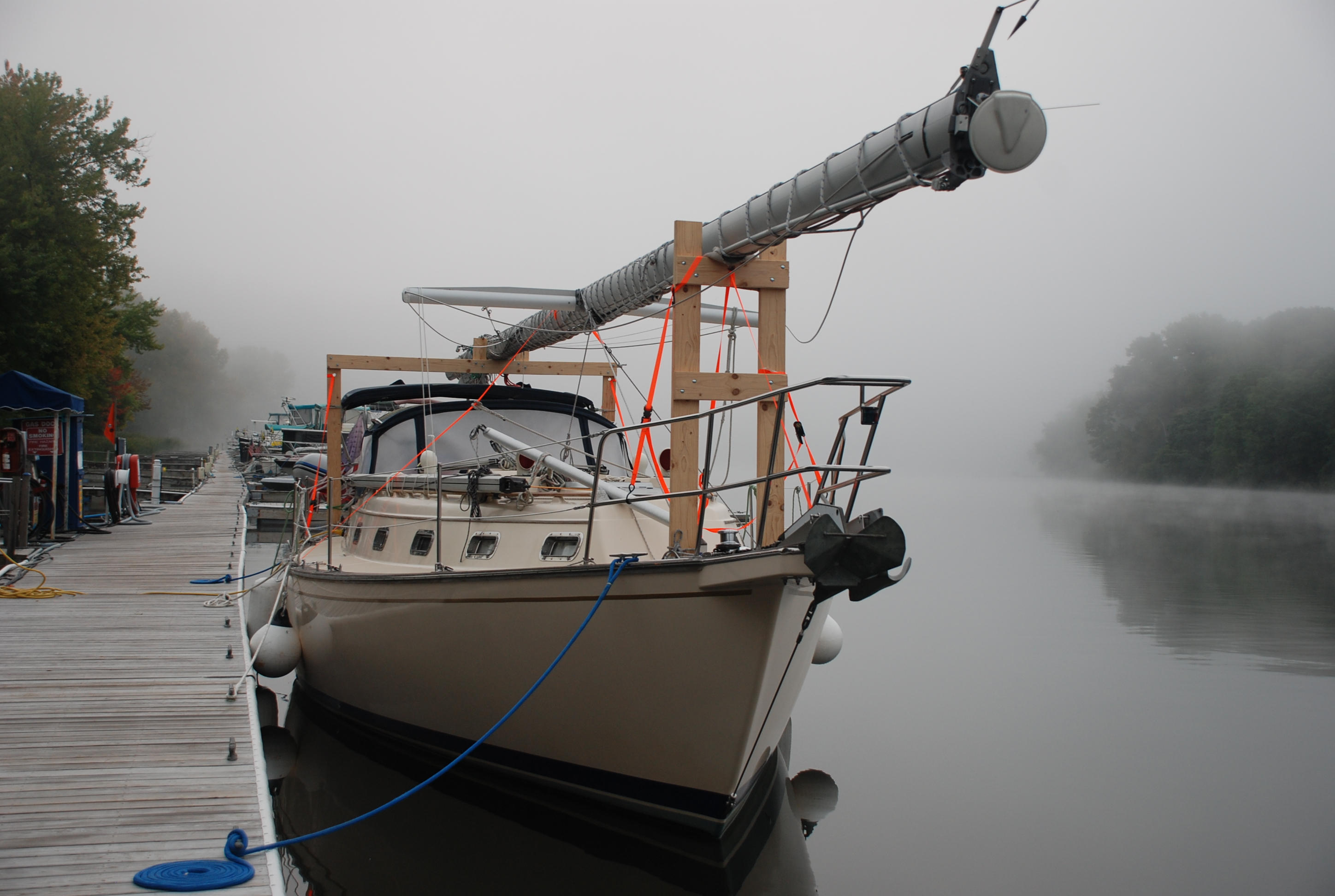
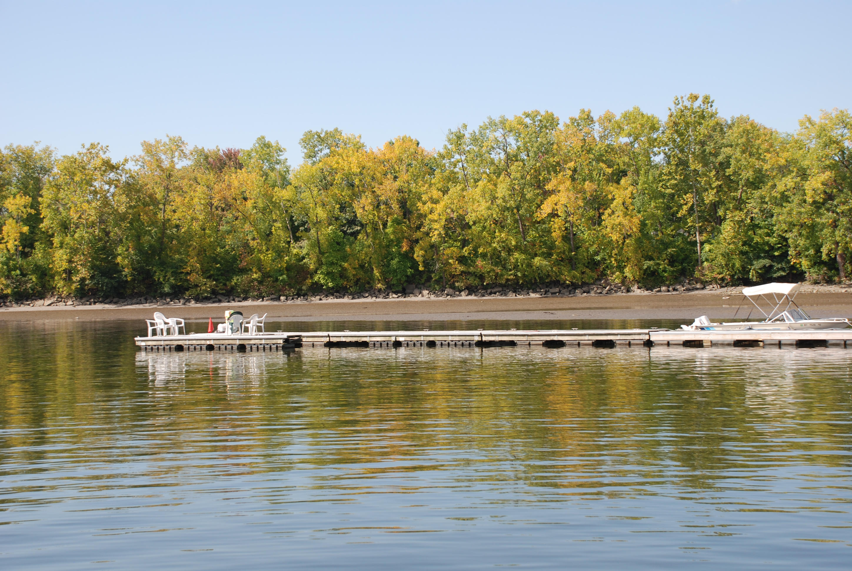
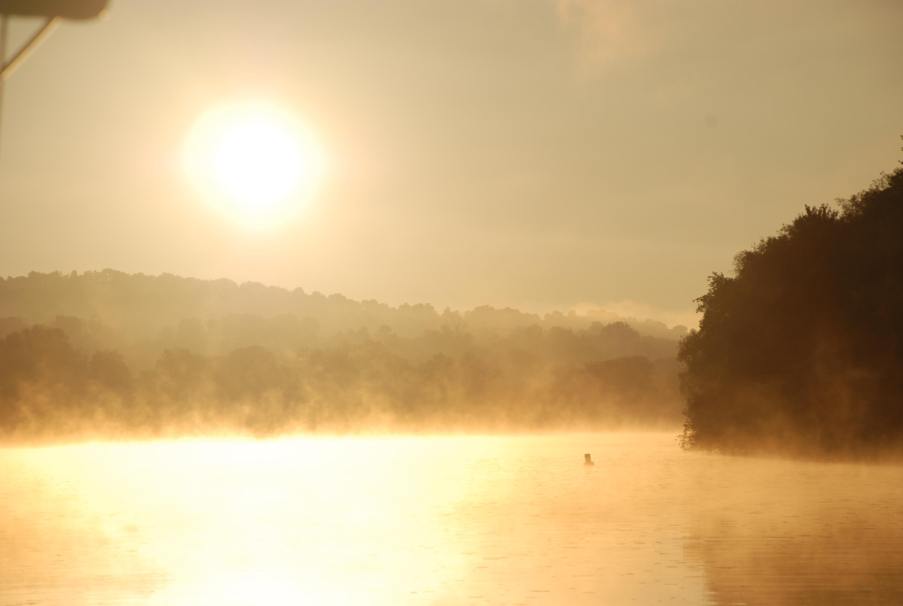
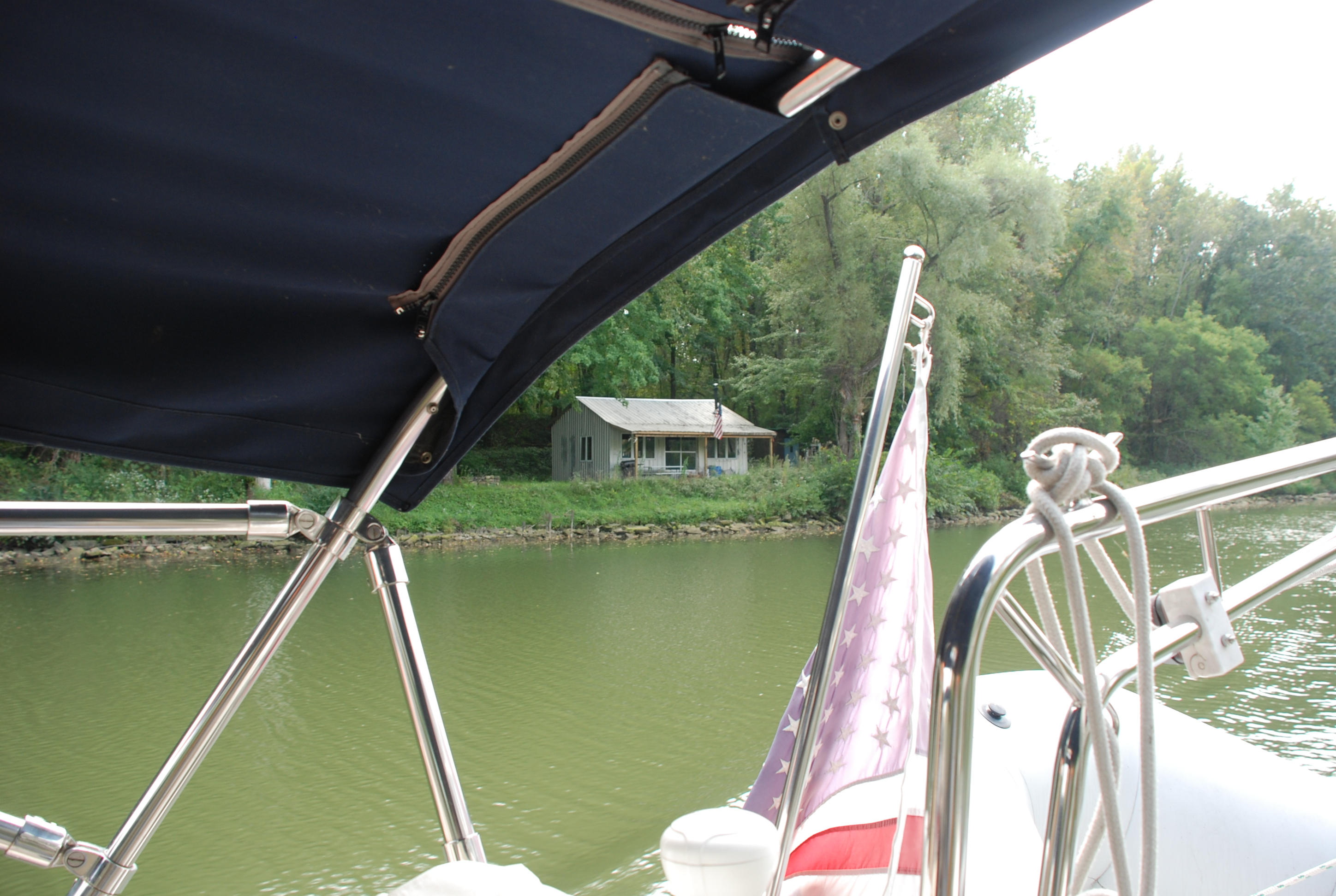
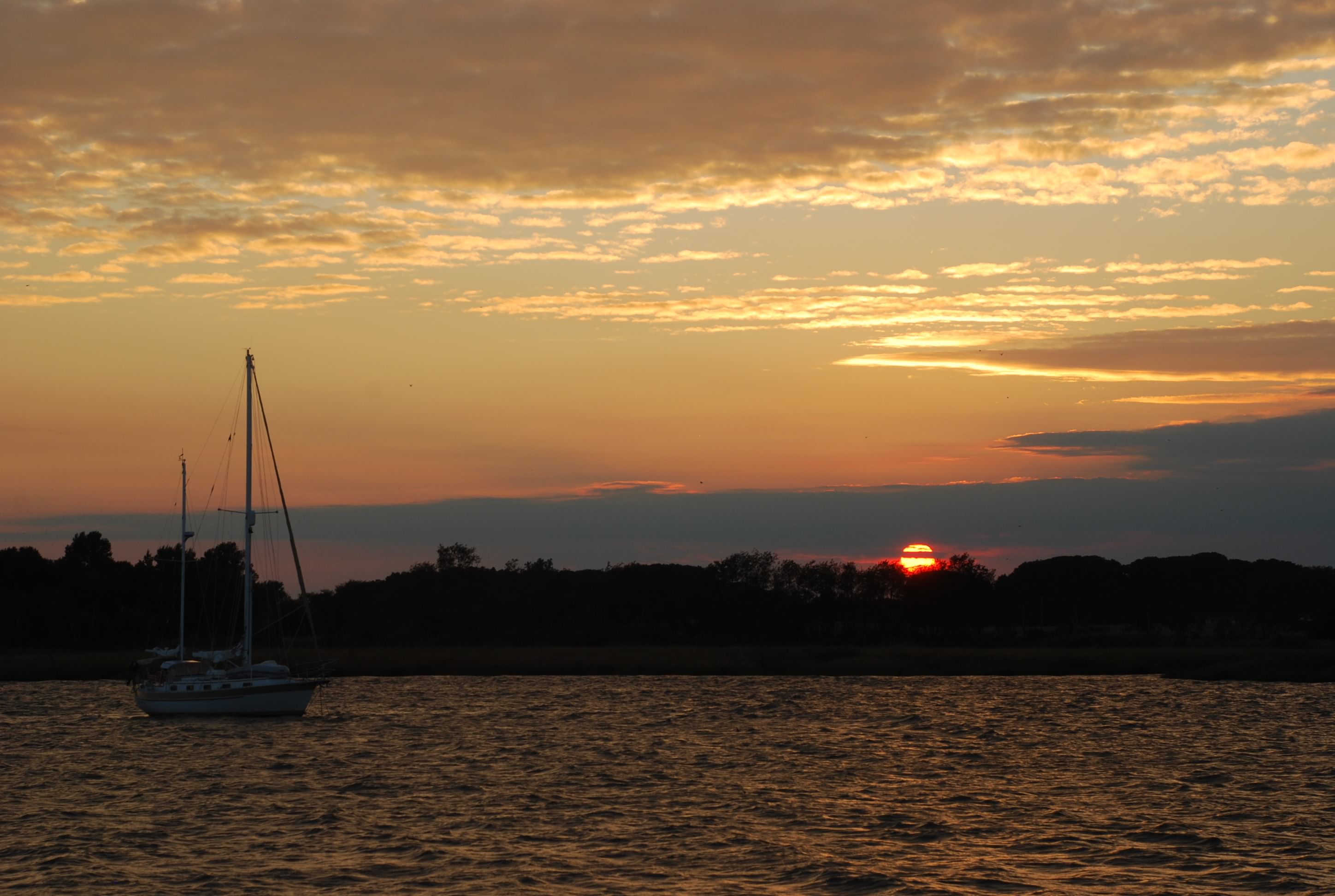
And here is our anchorage for the night:
DSC_0116 (2)

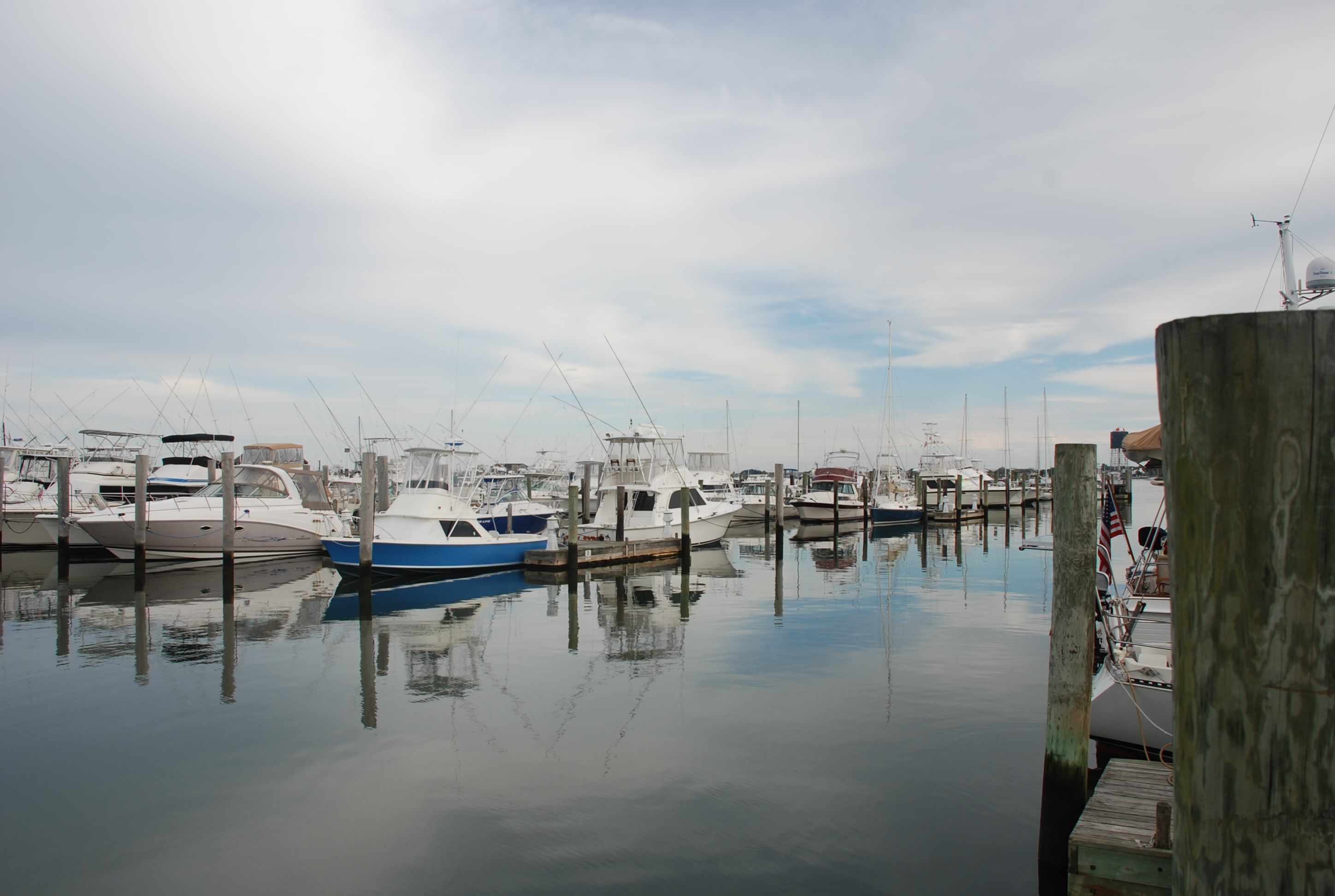
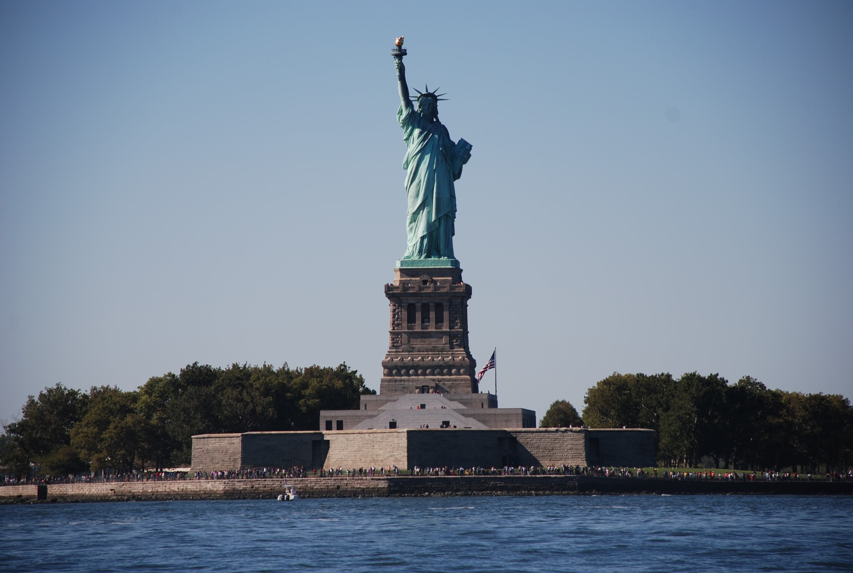
Cape May is really a cross roads of many people doing what we are doing. We talked to several people that were traveling in sailboats or trawlers and heading for warmer weather for the winter. We are finding that living on the boat is pretty agreeable. We both sleep better now than ever before, probably because we are exhausted every day….lol. The boat is actually very comfortable. It is just harder and takes longer to do everything because you need to find something that is stored somewhere and it takes more time to dig it out and put it away. We found that the refrigerator holds more than the one we had at our lake house, and the freezer that we have holds as much as we had at the lake house. You do have to watch how much power and water you consume, and need to be a conservationist to make it last. This is not a bad thing. Living this way you begin to realize how much wasted energy and water are used in normal daily life on land. On board, it stares you in the face every day…how much electricity you consume, how much water you consume, how much trash is generated, how much human waste you generate. People in general should have to think more about these things than they really have to. Someone else just deals with it for you in normal land based life. This will come back to bite us in the ass someday as a human population.

Friends, relatives, kids and grandkids…have we mentioned how much we miss you all?

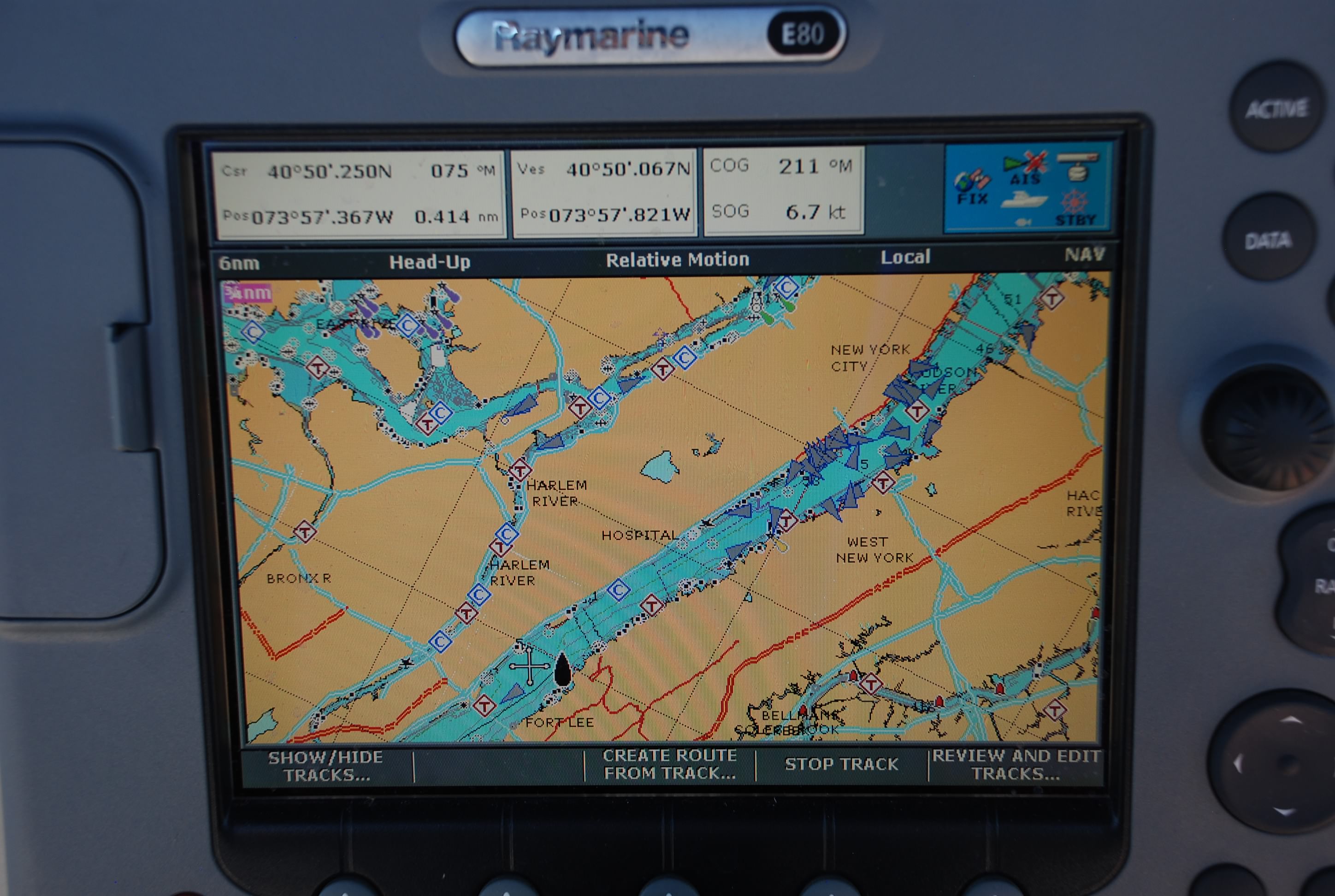
Several people have asked about doing a map of where we have been. Every day I post a position at the top of the blog. You can key these coordinates into Google Maps and see where it is. We have been pushing hard to get to Baltimore by a deadline, but when we get there I will have more time to find the best way to show a location map. It is on the list….

Tomorrow we plan to be in Havre de Grace and see if we can hook up with my brother and his family. The day after we will be in Baltimore for almost a week. Then to the boat show in Annapolis and south thereafter!

A rough but successful passage in the Atlantic

9/29/2014
Cape May, NJ
Position:38 57.1N, 74 54.3W
Utsch’s Marina
Posted by Bill

Crazy day yesterday and today. We had a 20 hour +/- passage in the Atlantic Ocean around New Jersey staring us in the face, so we checked the weather one last time and set out around 11 AM from Sandy Hook. This would allow a passage of 20 hours at 6.5 knots of speed and extra time before dark if we don’t get to make the normal cruising speed. The weather forecast was for light winds 5-10 knots out of the SE, switching to SW late morning. The ocean started out flat as a pancake at NY Harbor. About half way there we got an east swell and SW winds 12-16 knots…winds not that bad for our boat. But…SW winds against an east swell does not make a comfortable passage when you are traveling SW. The wind works against the swell and drums up a steep and wicked sea state, and then we were beating into the wind. The boat was smashing in to the waves and spray was going all over the boat for the entire passage. It was miserable. I hoisted some sails to get the motion of the boat to come under control and I tacked back and forth on angles instead of in a straight line. We left Sandy Hook at 11 AM and came into Cape May at 9:20 AM. Neither of us slept and I hand steered most of the way to control the motion of the boat. It was not a fun passage. Good thing is…the boat can take that beating…it is a strong, stable boat. We however, are wasted.

So, after getting the boat picked up and washed, we went about Cape May exploring. It is a very cool place and the oldest seaside resort area in the country. We found the oldest tavern in Cape May (a bar…I know you are all surprised) and made new friends with several regulars. We walked across the parking lot of our marina and picked up fresh lobster, shrimp and scallops, and brought them back to the boat…that didn’t suck! That is one of the things I have been waiting for being on the east coast. Happy eating (and of course drinking). I love fresh seafood!!!

Tomorrow we try to catch the tide early in the morning to take us up Delaware Bay. Then the next day we will use the C&D canal to get into the Chesapeake Bay….one of my milestones!!! Looks like the weather will cooperate, but then again, so was the forecast for last night!

Pics for today:

Unbelievable sunrise on the ocean today!!!
DSC_0048 (2)
DSC_0051 (2)
DSC_0061 (2)
DSC_0066 (2)

The Utsch marina in Cape May.
DSC_0083 (2)
This place is very nice and the people were very hospitable. Highly recommended.
The town is very easy to explore on foot or by bike. There is a West Marine store in walking distance and a liquor store that will deliver…very high on the list of important stuff.

The Cape May Canal to the Delaware Bay.
DSC_0084 (2)

Cape May area photos.
DSC_0086 (2)
DSC_0085 (2)

Our newest bestest (is that a word??!) bar, and the oldest bar in Cape May
DSC_0088 (2)
DSC_0087 (2)

Our awesome seafood dinner. Been waiting for this for a long time!!!!
DSC_0089 (2)

Kudos again to my wife. We had a rough passage going across Lake Erie in the middle of the night, but this was a new low…it was really rough. Tricia was a trouper. Not many wives would put up this lifestyle. She is a good catch. Our exploration of Cape May was a reward for a tough passage. It is a cool place.

We made it to the ocean

9/27/14
Sandy Hook, NJ
Position: 40 25.10N; 74 01.20W
Atlantic Highlands anchorage
Posted by Bill

Happy birthday to our youngest daughter, Jessica! We love you and miss you very much!!!

Long day of over 68 miles. We went by West Point Academy and it was absolutely gorgeous. Then into New York City and finally to Sandy Hook, NJ. New York was crazy…boats coming from all directions at the same time. Pleasure craft, sailboats, police, ferries, container ships, all converging in the Hudson River, causing a wave of washing machine type waters. Not fun at all. But very cool to see the city from the water.

When we dropped the hook in Sandy Hook, we could see a spectacular sunset, the lights of New York City and a fireworks show…not sure why…but a nice fire works show.

Our anchorage was our 3rd try. The coast guard station anchorage was pretty croweded and we did not want to anchor too close to others, so we tried Horseshoe Cove. It was crowded too and I could not get the anchor to set, so we motored across Sandy Hook Bay to Atlantic Highlands. It was a great anchorage.

All in all a pretty exciting day. The next few days we have an excellent weather window and will transit to Cape May, NJ via the ocean.

This was a little island across from where we anchored in Cornwall that had ruins of a castle.
DSC_0562

The view approaching West Point Academy.
DSC_0568

West Point close up.
DSC_0567

View of the Hudson on the south side of West Point.
DSC_0575

Random view of the Hudson…it was really scenic in this area.
DSC_0592

The George Washington Bridge coming into NYC.
DSC_0705

This is a view of our Raymarine chart plotter.
DSC_0729
It is like a Garmin for nautical maps and really helps us navigate. We also have a system called AIS. Almost all big ships have AIS and it is becoming more popular for pleasure craft as well. AIS broadcasts your vessel position, speed, course, and other vessel information. The ships show up as blue triangles on the chart plotter and there is an alert function that tells you when you are at risk of collision. It is a great tool to have. As we are coming in to NYC this is what the chart looks like. Triangles all over the place. It was really crazy. As beautiful as it was cruising through, I was glad to get the hell out of there.

New York City.
DSC_0739
DSC_0754
DSC_0759
DSC_0801
DSC_0807

A view of Sandy Hook. It is a really cool place.
DSC_0839

Sunset in our anchorage at Atlantic Highlands.
DSC_0843

Cornwall, NY

9/26/2014
Cornwall, NY
Position: 41 27.0N, 74 00.3W
Posted by Bill

Didn’t post yesterday because it was nothing but busting ass. We prepped to have the mast put up, they put it up, we rigged the boat, we put on sails, we went to dinner (a really good soul food place), we drank several martinis, we went to bed.

This morning we woke up, finished putting the boat back together and gave it a good washing. Lots of Erie Canal mud and slime to wash off. We shoved off the dock around 8:40 and motor sailed to Cornwall, NY. This part of the Hudson is absolutely stunning. It was good to actually put some sails up and we took advantage of the north winds. We needed it too because most of the trip was against the tidal current…again…

When we anchored at Cornwall, a local boater floated over and gave us a history lesson. According to him, Henry Hudson, the guy who was trying to find a northwest passage from the east coast, first went up the Hudson River. He anchored on the same spot as we did (according to this guy anyway), looked back to the southwest and said “this is a great spot for a town”. This is how Cornwall was founded. The local was probably just a drunk and was messing with us…we get that a lot.

Enough of stupid historic trivia. Here is what you all have been waiting for…pics!

Here were a couple of catameran sailboats from Canada that I chatted with on the radio. They are headed for the Caribbean.
DSC_0458 (2)

This is the lighthouse at the channel entrance to Saugerties, NY.
DSC_0466 (2)

Another lighthouse in the middle of the Hudson. Not sure why they needed all of these in the middle of the river, but hell…why not. And it looks cool.
DSC_0483 (2)

We are a sailboat again!
DSC_0484 (2)

We saw several big tug boats pushing barges today. Had to make sure they didn’t hit us.
DSC_0487 (2)

Approaching our anchorage for the night. Absolutely beautiful!
DSC_0508 (2)

West Point is right around the bend. Hopefully we will have pics of that tomorrow! On to the Big Apple tomorrow.

Happy birthday to our good friend Rick, and to our good friend Kerry for her engagement of marriage!!!! Wish we could celebrate with you!

We gave Sal the slip and left her in our wake

9/24/204
Catskill, NY
Position: 42 12.7N, 73 51.6W
Posted by Bill

Whew, what a long day! We tried to start early because we knew we had a tough day ahead of us. We had 2 locks in addition to the final flight of 5 (5 locks one right after the other that drop you 150 feet). Then we had 35 miles to traverse in the Hudson River to get to the marina that is putting the mast back up. We awake at 6 to fog…

This was before it got really bad
DSC_0305 cmp

So we wait until it lifts and get off to an 8:00 start instead of 7:00. Then we had to lock through with some moron power boat the entire way out. Idiot!

We needed to make it to our destination by 5 to get a dock and we had just enough time. Only problem is tidal current. The Hudson River has a 3 to 3 1/2 foot tidal range and we are motoring into a flow cycle (tide coming in). The current was 1-1 1/2 knot current and we had it against us until the last hour of the trip. We ended up getting to the marina at 6:15. Fortunately, the people at Riverview Marine gave me a slip to get into after hours. So we made it.

Glad that we did the canal, but also glad that we don’t have any more locks to deal with. I am also anxious to get the mast back on and be a sailboat again.

Here are some pics of the trip today:

This was a cool arch next to where we docked in St Johnsville.
DSC_0308 cmp

Another view of the Mohawk River from early this morning. Loved this section of the canal for it’s beauty.
DSC_0314 cmp

This is a guard gate in the canal.
DSC_0316 cmp
They are spaced throughout the canal to close the waterway in case of flooding or major debris from storms. All but one was open and you just cruise through. For the closed one you had to call the next lock to have it raised.

If you are locking down, this is the view of entering a lock. On most of the locks you see the tops of the trees when you enter and the bottoms when you exit.
DSC_0328 cmp

This is what it looks like exiting lock 4. This was a pretty good drop.
DSC_0336 cmp

This is lock 4 with the boat in the picture to lend some perspective.
DSC_0347 cmp

This is looking back on the Federal Lock at Troy NY, our last lock.
DSC_0387 cmp
Several of the locks looked this way at the bottom. You can see the lock on the right and a dam on the left.

The whole lock system was really amazing and the people running it do a great job.

Now in the Hudson River, this is a view of downtown Troy, NY.
DSC_0394 cmp

Red Neck Yacht Club on the Hudson.
DSC_0403 cmp

Cool bridge and view on the Hudson.
DSC_0426 cmp

This is a light house in the middle of the Hudson River.
DSC_0436 cmp

View of the Catskill Mountains from the Hudson River.
DSC_0439 cmp

Another view of the Hudson.
DSC_0441 cmp

It’s all relative

9/23/2014
Schenectady Yacht Club, NY
Position: 42 51.0N, 73 53.2W
Posted by Bill

Long day of transit. Started out cold and ended up nice. Left St Johnsville and motored to Schenectady Yacht Club. This is a nice place. Better than the last 2, but it’s all relative. Still not as nice as the places we stayed in the western part of the canal, but much better than the last 2 nights. The only restaurants or bars are more than 4 miles away so we ordered a pizza to be delivered.

Did 8 locks today. It has been rough with the wind affecting the position of the boat. Not as windy today, but still a challenge for 2 people and a very heavy boat. Tomorrow will be our last day in the canal and we will make it to Catskill to put the mast back up at Riverview Marina.

From there it looks like a stop in Newburgh and then overnight to Cape May NJ. So far the weather looks perfect for the run around NJ. Let’s hope it holds.

Today’s pictures….

Leaving another lock.
DSC_0284 cmp

Very nice view. This part of the canal is in the Mohawk River and is the most picturesque so far.
DSC_0252 cmp

Beautiful sunrise with sparse fog on the water. Really pretty.
DSC_0244 cmp

So some people say that cruising is working on your boat in exotic locations. Thus far into our trip the heat/air conditioning, bilge pump, hand held marine radio all went kaput. We have backup functionality for those but they are going to need to be repaired

General thoughts on the canal passage

9/22/2014

For someone who is researching a canal passage, I offer the following as information that would have been helpful for me in my planning stage.

1. Get the canal cruising guide from the NY state canal web site. It was helpful but it also had a few errors. All of the mileage stated is in statue miles, but it doesn’t say that.
2. Keep in mind that after Sept 11 the lock and bridge hours are shortened to 7 AM to 5 PM. This put an unexpected restriction on the miles we could cover in a day.
3. Expect that the lock and bridge operators will make you wait for slower boats before they will let you proceed.
4. The planning method that worked best for us was to look at the nautical miles between locks first. Figure a 50 mile day maximum and plan on 20 minutes per lock that you are going to have to go through. Then look at where you can stay in the area that you end up based on the calculations.
5. The eastern half of the canal doesn’t have near the accommodations and charm of the cities as the western half.
6. The marinas that are in the cruising guide between lock 25 and 24 are not deep or large enough to accommodate a sailboat or powerboat over… say… 30 feet. If you can’t make lock 24 before it closes or dark, stay tied to lock 25 for the night.
7. If you are going to build your own mast support, bring the lumber with you. The yards run out of stuff that people left, and you cannot get to a store that sells what you need unless you rent a car. You can always opt to have the yard build it for you, and then they have to get the wood.
8. You could probably anchor in Cross Lake or Oneida, but otherwise anchoring is not an option.

Long cold day

9/22/14
St Johnsville, NY
Position: 42 59.7N, 74 40.7W
Posted by Bill

Most of the day today we had cold rain and really strong winds (15-20 MPH). Fortunately the wind was mostly behind us so we did not feel the full brunt of the wind chill, and it gave us a .5 knot boost of speed. The lock operators were slow today and cost us at least an hour of time. Most of our locks are descending when you travel east and they have to fill the lock before they let you in. The larger the drop, the longer it takes to fill the lock. Most of the operators up to this point have had the locks ready, but today we had to wait several times. The time is not the worst factor…I had to hold the boat in a steady position for 10-15 minutes in a river/canal 100 feet wide, with a .5-1 knot current, 15-20 MPH winds, and various floating obstacles (logs, stumps, branches). We have a single propeller and no bow thruster, so it was not a fun time. The winds were also blowing us around in the locks really bad and it took a lot of muscle to control the boat.

So we did 50 miles and 7 locks, landing in St Johnsville, NY. Not much here, and the only place open on Monday and Tuesday was a bar called Cosmos, so that’s where we went. I am wearing my OSU sweatshirt and the owner yells O-H when we come in. I yell I – O. He says he is a big fan. The place is a little scary but the owner is nice and he ended up cooking some damn good food. He liked us and gave us a huge serving of fries. A good stop after all.

Exiting a lock.
DSC_0210 cmp

Looking back at lock 16. This was one of the prettier lock areas.
DSC_0212 cmp

Docked at St Johnsville Municipal Marina.
DSC_0225 cmp

The big boat in front of us pulled in shortly after we did. I helped with the dock lines as he docked and commented on how nice it would be if our boat went sideways like his (with the bow thruster and twin engines). He told me how easy it was and I said “this is my boat here…it doesn’t go sideways unless the wind blows it there.” He then proceeded to tell me how he had several sailboats too, even one he bought from Jimmy Buffett. I call him Sal…what an ass.

I can hear the banjos…

9/21/2014
Sylvan Beach, NY; Position: 43 11.825N, 75 43.310W
Posted by Bill

We put in a long day today. Leaving our terminal wall in Weedsport at 7:10 we set course for Sylvan Beach, NY; on the east side of Oneida Lake. We motored through a nature preserve and a really remote area of the canal. At one point I could here the banjos playing Deliverance.

DSC_0117 cmp

Kudos to my wife. She cooked an amazing breakfast as I piloted the boat through Deliverance country. You just don’t know how wonderful it smells and tastes when you are hungry in the morning and driving the boat. She is the bomb. As we entered Brewerton we stopped for diesel fuel and a pump out. For those of you who are unfamiliar with the pump out, it is the process of sucking out the piss and crap that was pumped into the holding tank through regular use. Not the pretty side of boating. On a normal live-aboard boat you need to do this weekly. We stopped at Ess-Kay marina to complete this task. Amazingly the lady who owns it went to Ohio Wesleyan college in Delaware Ohio, just north of Powell where we lived for 18 years. Also, our eldest daughter went to school there. I was amazed.

After that we crossed Oneida Lake. Oneida can be very rough when winds have a west component and it takes 2 1/2 hours to get across in a sailboat. When we started out the weather was pretty good but it deteriorated rapidly. Thunderstorms and rain, like cats and dogs, for the last 1/2 of the trip. We got back into the canal before the west wind kicked in and started raising the waves. We stopped at Holms marina which had pretty good ratings on Active Captain. Again, I hear the banjos.

Rain and more rain, so Tricia is cooking vs. us going out. Lucky me!

I am guessing 3 more days in the canal. We are at least 2/3rds of the way through.

Sunrise today.
DSC_0156

Tug boat passing.
DSC_0171 cmp
DSC_0200

Leaving lock 24.
DSC_0173 cmp

Hanging in Weedsport

9/20/2014
Weedsport, NY; Position:43 04.2N, 76 33.4W
Posted by Bill

We motored over 50 miles today to Weedsport NY. We went through a very scenic portion of the canal, and 7 locks today. We are getting pretty good at the locks. And guess what…the flotilla of idiots turned in their rental boats and went home…thank goodness. We tied up to a terminal wall in the middle of nowhere on the canal. Didn’t have many options today. There was a pretty good restaurant and bar right where we docked though, so that was cool. We also saw a spider as big as my fist on the terminal wall. I hosed the hell out of the wall with bug spray. We don’t want those spiders on board.

Damn big spider:
DSC_0139 cmp

Tricia did some major acrobatics jumping from the boat onto the terminal wall to help get us docked. This is not the type of thing you really want your boat tied to, but alas we have limited choices in this remote area. I am thinking we have another 4 days in the canal and then we will be in the Hudson River.

The scenic canal:
DSC_0125 cmp

Leaving lock 27.
DSC_0114 cmp