Motor-sailing to Marineland

5/4/15
Marineland FL, ICW
Position: 29 40.142N, 081 12.895W
Posted by Bill

We left at the butt crack of dawn again, and nobody got any sleep last night. First, the no-see-ums slipped through our screens and tortured us all night. We had the sheets pulled over our heads to escape them. Second, the boat next to us (yes, the one concerned about our anchor scope) ran a generator all night right next to our bed. Third, the boat next to Sofia Jeanne and Byrd Ketcher woke them at 2 AM to tell them they were dragging anchor on top of them. They were not. Some words were exchanged. Kurt and Matt ended up hauling the anchor and moving. After you re-anchor, you need to watch to see if you are well set, which takes at least 30 minutes. You get the picture.

We headed for Marineland Marina, a full day of motor sailing, and since we draw the deepest draft we needed to get there by 3 PM to make the tide so we could get our boat into the marina. We pulled ahead of the our buddy boats and used our speed to make the entrance with time to spare.

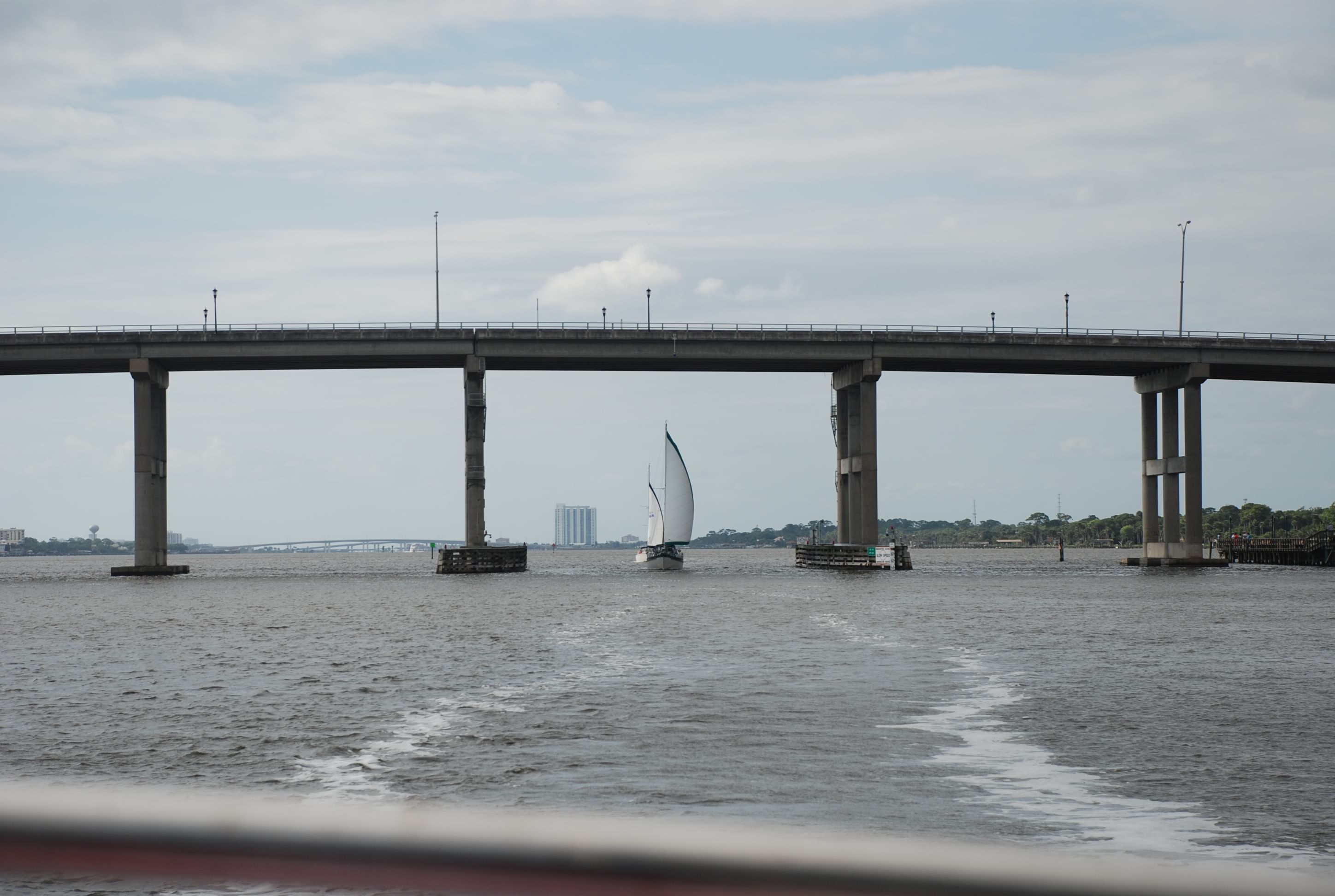
Along the way we had several bridges to deal with. Here is Byrd Ketcher and Sofia Jeanne coming under one of the tall ones at Fort Lauderdale:
DSC_0057
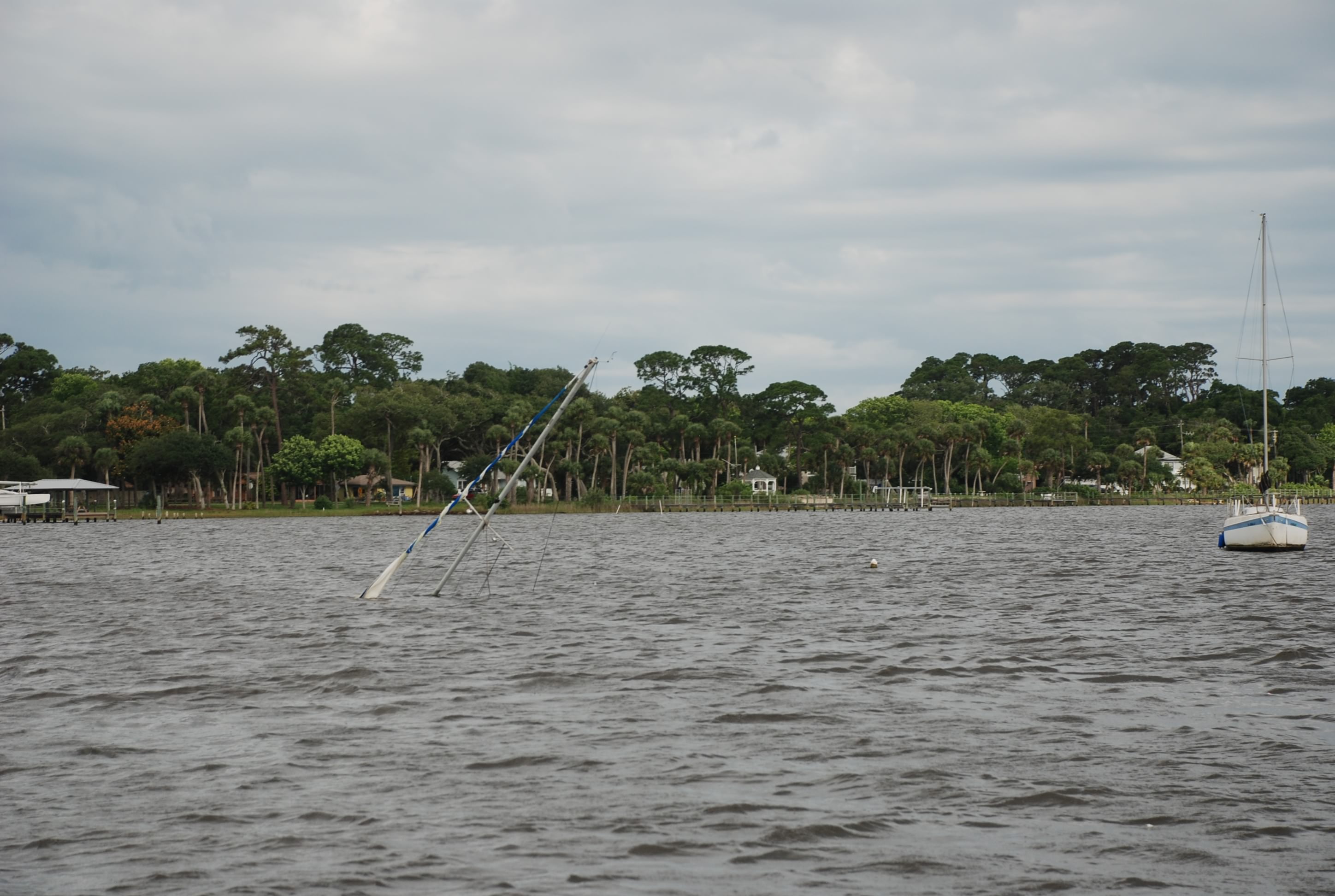
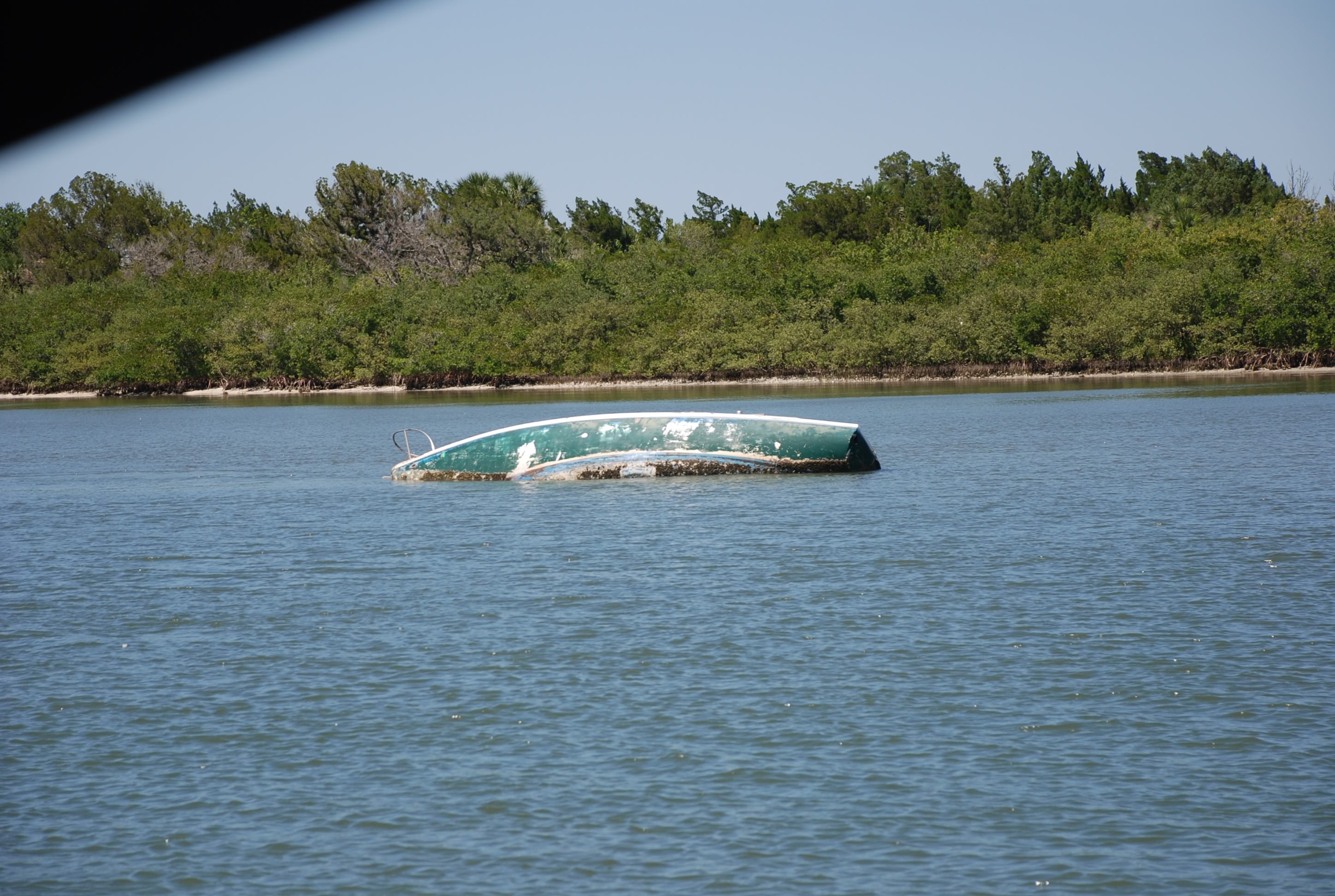
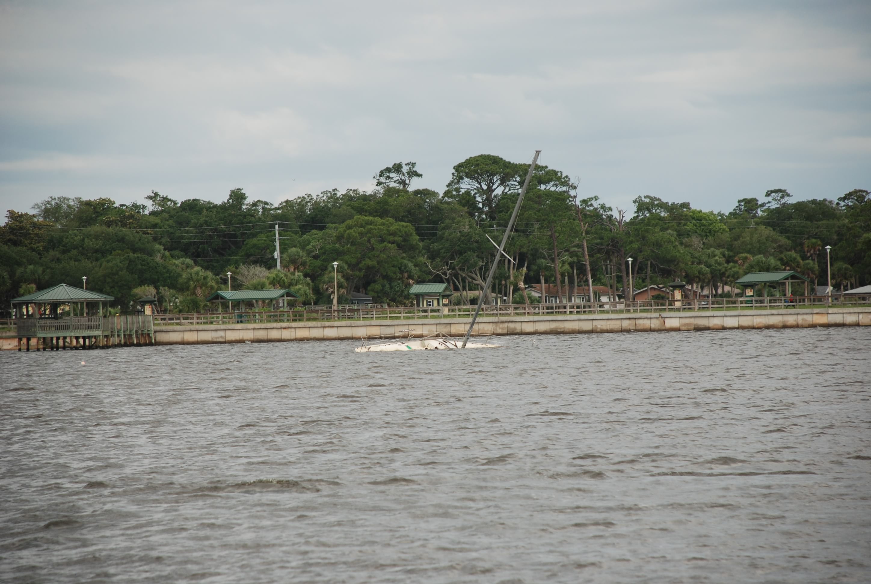
We saw more derelict and sunken boats:
DSC_0055
DSC_0056

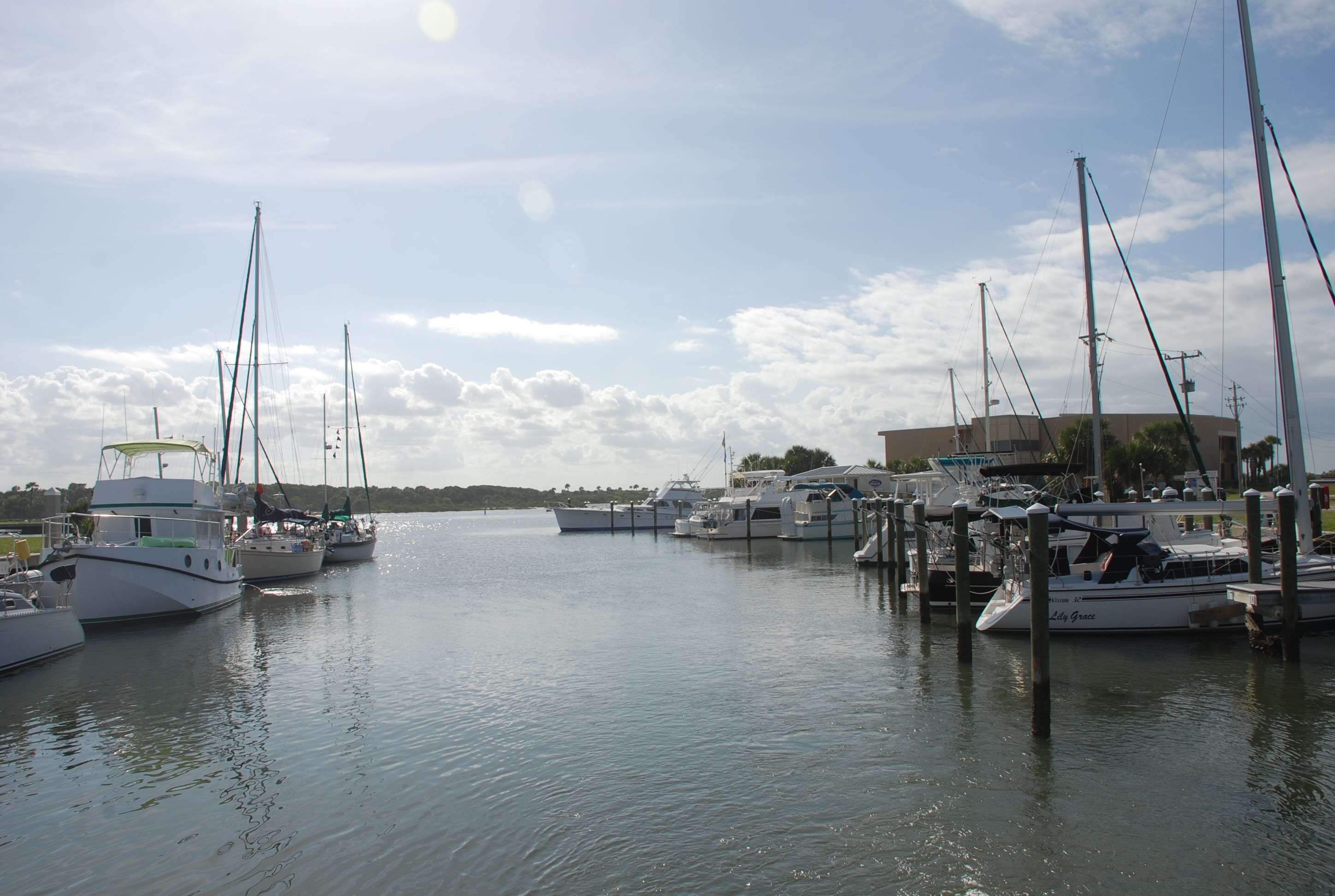
This marina is small but really nice and clean:
DSC_0059
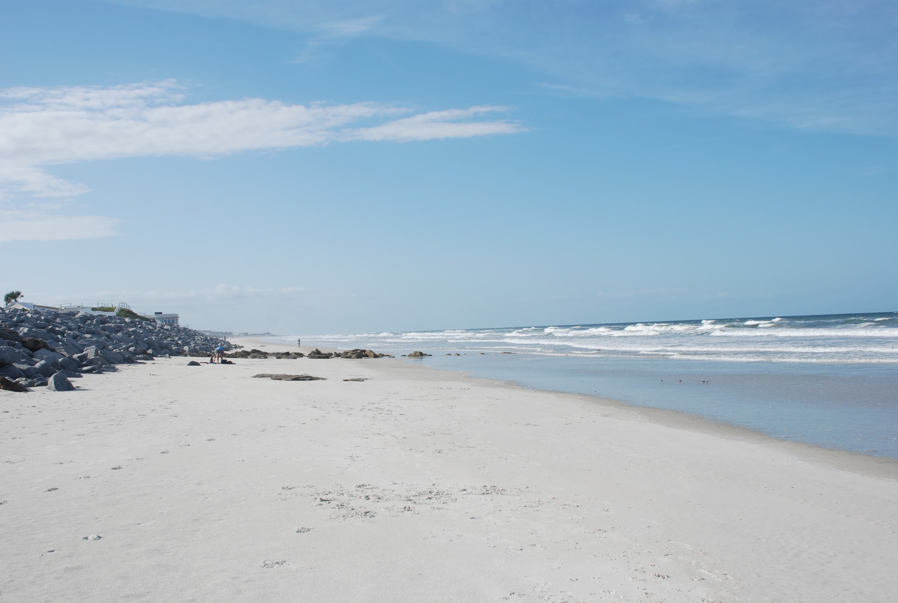
Across the street is a place called Marine Land that is an attraction with dolphin tanks and other marine life displays. We didn’t go. The beach is right across the street too, and we checked that out for sure. Pretty rough today. Beautiful beach:
DSC_0062
I am always at awe looking out at the ocean. It is the perfect example of beauty and power that is as close to a view of God that we can get here on earth. So much respect for Him and the perfection of the creation.

Tomorrow it is up at the butt crack again, working the tides to get in to St Augustine to ride out some weather that is coming over the next few days.
Ponce inlet and Rock House Creek

5/3/15
Ponce Inlet, Rock House Creek Anchorage, FL
Position: 29 03.671N, 080 55.861W
Posted by Bill

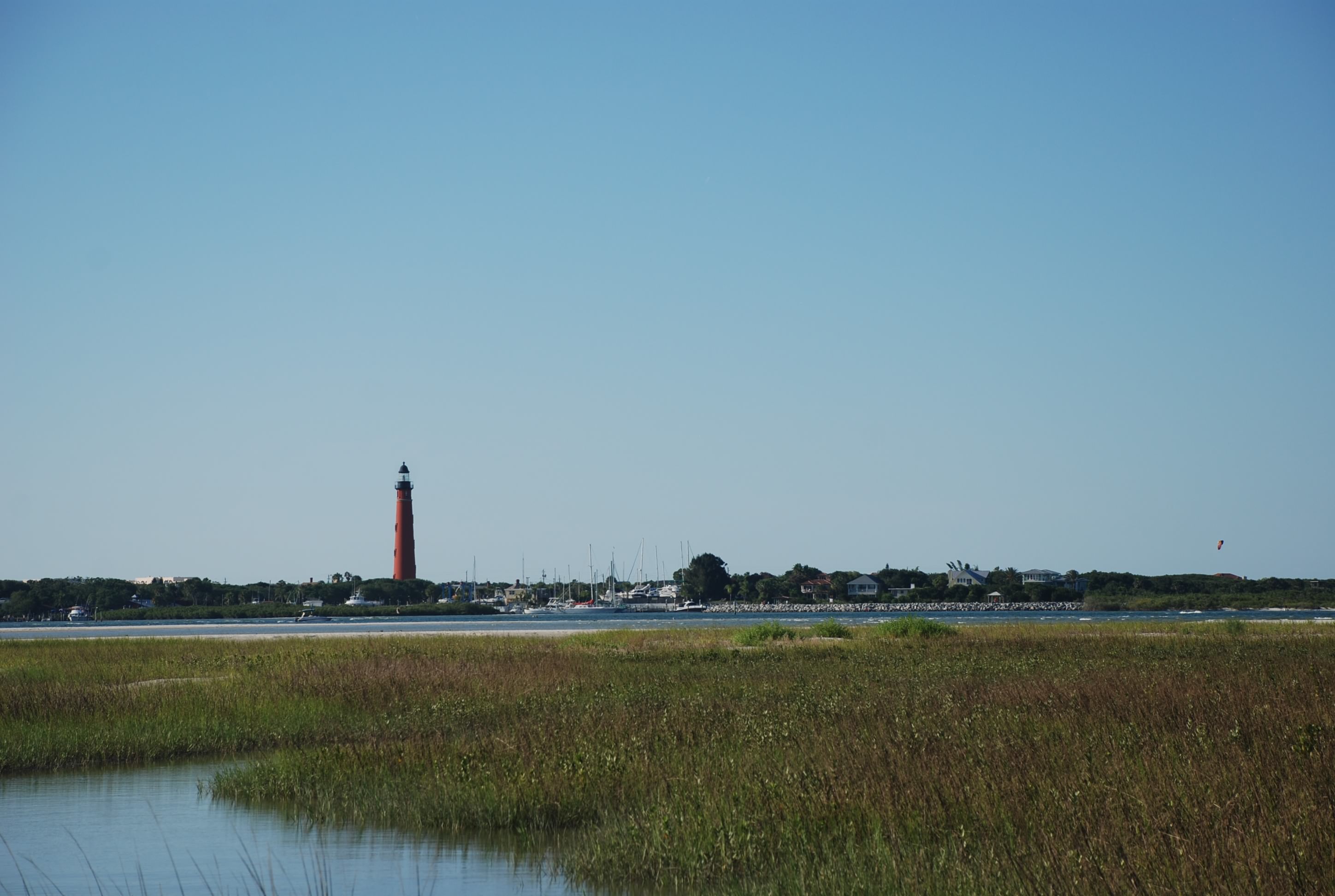
Today we had another long day. Leaving at the butt crack of dawn and motor sailing to Ponce de Leon Inlet just north of New Smyrna Beach. Last year we grabbed a dock on the north side of the inlet, but this time Sofia Jeanne and Byrd Ketcher turned us on to an anchorage called Rock House Creek on the west side of the inlet. It has some sandy beaches and a great view of the inlet and light house. There is only room for about 8 boats in the anchorage proper, and it was pretty crowded mainly due to it being a weekend. We found some room and did our usual thing, Sofia Jeanne and Byrd Ketcher rafting off of one another and us anchoring solo. This is a great anchorage…good holding, a place to go ashore, good protection from the winds.

On the way we passed the islands that had the flamingos in the trees:
DSC_0012
We also got some sailing in!:
DSC_0014
Saw a few sunken boats:
DSC_0016
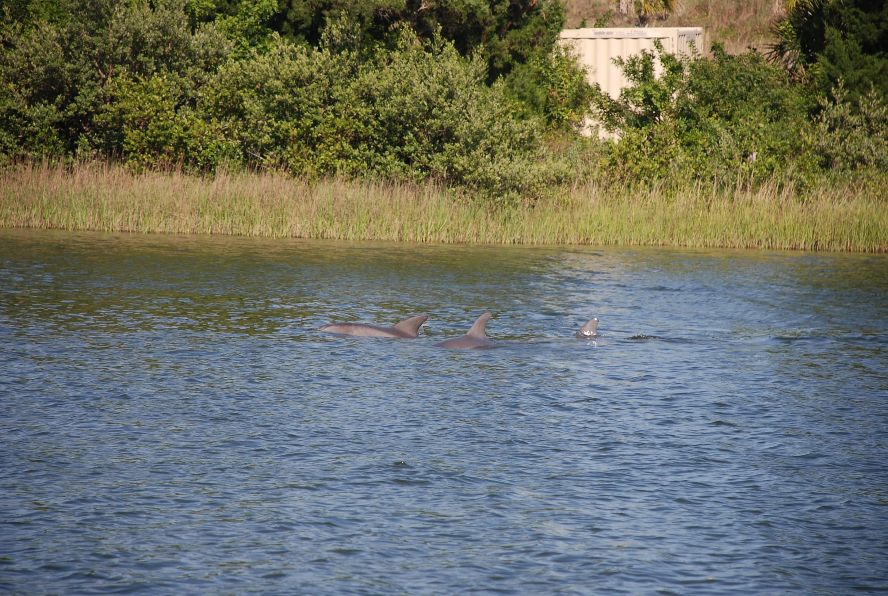
And while watching our anchor for dragging, we saw a pod of dolphins come by right off the boat:
DSC_0022

We all got together for dinner tonight, eating the rest of the mahi mahi that Kurt caught (yum!), and everyone bringing sides. It was really fun and also delicious! I also got a call on the marine radio from the boat next to me. They were concerned that we did not have enough scope on our anchor for the impending tidal shift. The guy was really professional about it and after I told him we had 60′ of chain out, his fears were calmed. Actually, I think his wife nagged him into calling us.

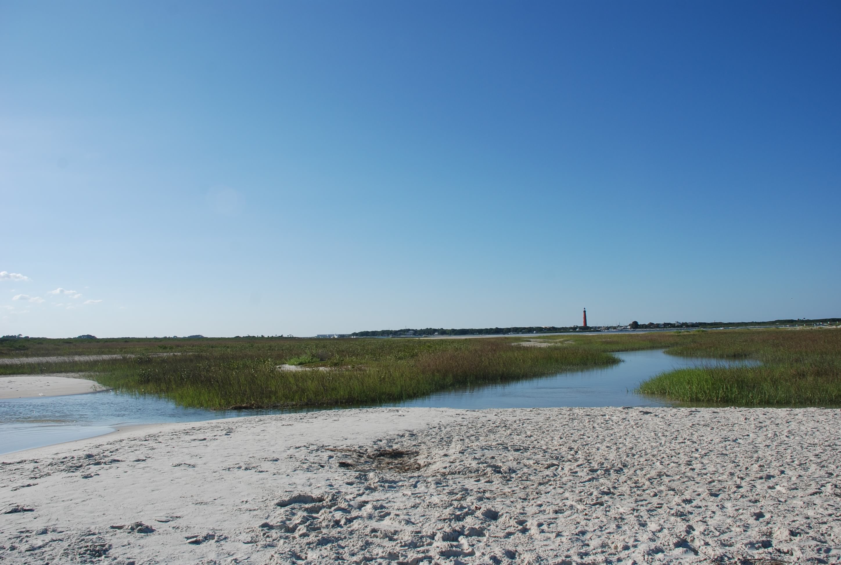
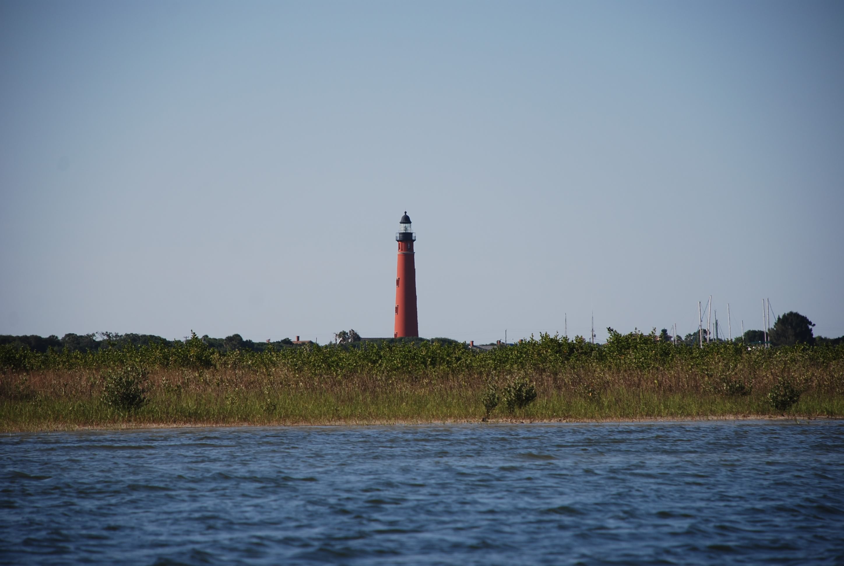
Before dinner we went ashore and took some pics of the inlet:
DSC_0047
DSC_0043
DSC_0038

Long day…good dinner…nice anchorage!

Cruiser addendum:
If you are interested in anchoring here, I sounded most of the anchorage in the dinghy. To enter the anchorage, when you exit the ICW, stay on the north side going in. There is plenty of water to the right after you get in for about 150 yards, where a shoal develops to the right. If you go straight in hugging the north shore, you have 10 to 15 feet of water all the way to the beach in front of you for a width of about 50 yards to the right. Strong currents! Make sure you have swing room for the tides.

Onward north to Cocoa

5/2/15
Cocoa FL, ICW
Position: 28 20.957N, 080 43.161W
Posted by Bill

Yesterday we took the bus and got groceries and liquor, and as usual, it took most of the day. Then we jumped in the dinghy and hit happy hours at Mr Manatees and Riverview Cafe. It is good to get fresh shrimp again. We were surprised that they didn’t have that in the Bahamas. Here we all are rafted in Vero (photo courtesy of Sofia Jeanne):
Rafted in Cocoa 2015

We left at 7:15 this morning and stopped at Cocoa…long day! We traversed the Indian River and this part of it is wide, leaving us exposed to the NE winds that were not forecasted to be this strong…go figure! It was also a weekend on the Florida ICW, which you all know is a lovely experience…not! it wasn’t as bad as south Florida, but there were several Ass Captain awards being handed out as large power boats came by us at full speed. Everyone was tired and we have all been here before, so we didn’t even go to shore. Tomorrow we head up to Ponce Inlet and will make our way to Saint Augustine from there. Most of the next couple of weeks will be long day trips to re-trace our steps back north. If we experience something new I will elaborate and post more pictures, otherwise you can check out the blog entries from last year as we made our way south.

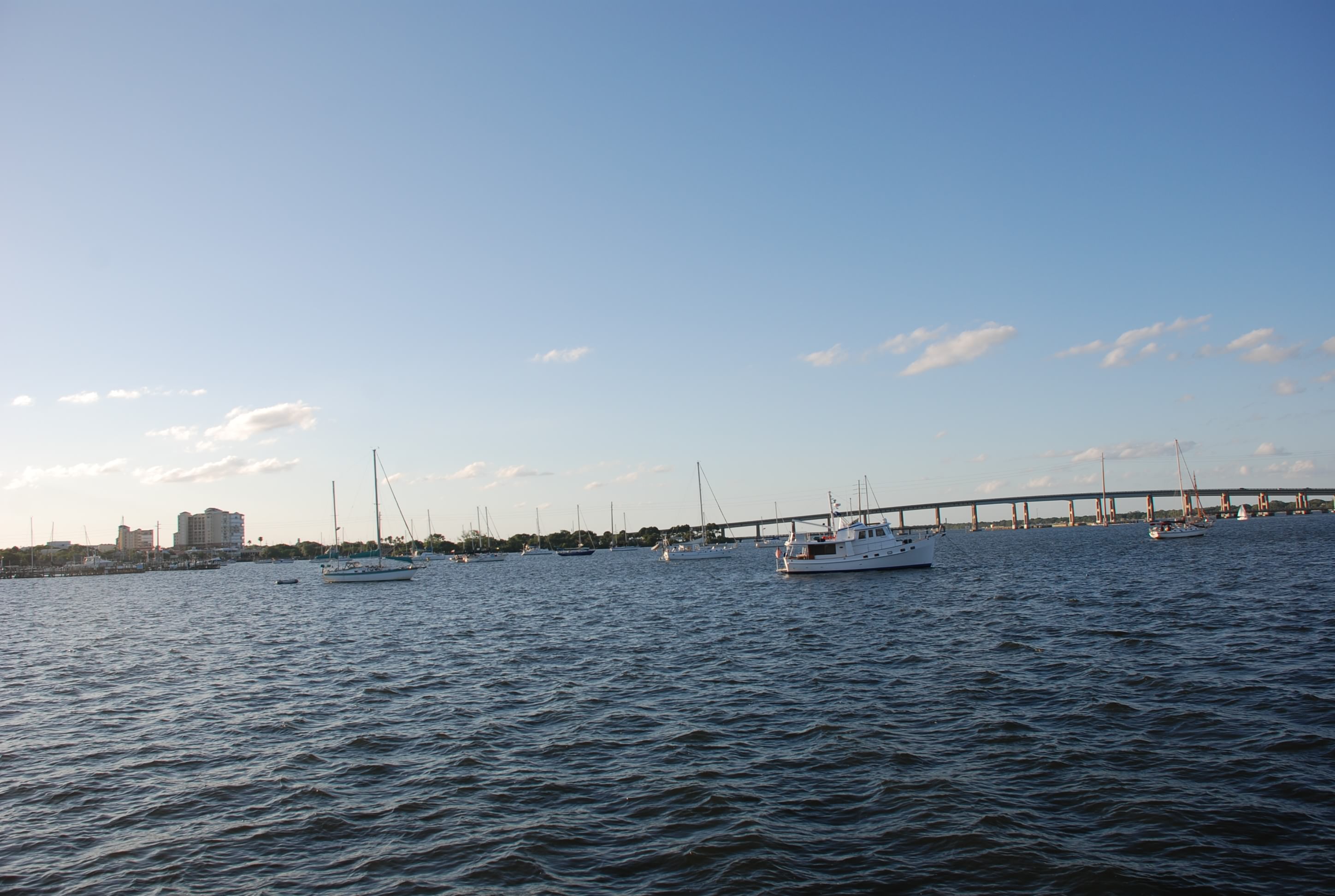
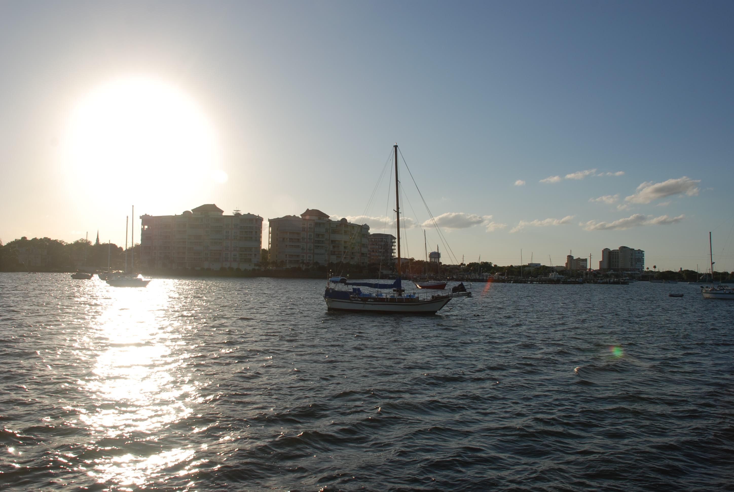
Here is the anchorage at Cocoa:
DSC_0003
DSC_0002

Vero Beach

4/30/15
Vero Beach FL
Position: 27 39.554N, 080 22.278W
Posted by Bill

We waited out another day of weather at Fort Pierce City Marina as the weather the last 4 days has been very unsettled. Good thing we left Lake Worth because we heard that there were 60-70 MPH winds in the storms that went through a couple of days ago. We were 50 some miles north and had a decent amount of rain and some thunder and lightning, but nothing even close to that. The next week is looking really nice weather wise.

Today we pushed off the dock in Fort Pierce and motored up to Vero Beach. We stayed here for several days and spent Christmas here on the way down last year, and were looking forward to coming back. It was a short 10 mile hop up the ICW and the boat traffic was very light, thank goodness. We took a mooring ball, and Byrd Ketcher and Sofia Jeanne rafted off on either side of us. We dinghied over to Riverview Cafe and took advantage of their excellent happy hour, the best value we have seen in 5 months. There is a free bus that will take you to a shopping area with Fresh Market, Publix, TJ Max, West Marine, liquor store and a great dive shop. Tomorrow we will go get some groceries and liquor and maybe hit the beach. It is really chilly here and I actually wore a sweatshirt and long pants! The lows at night are getting down in to the 60s…amazing how my blood has thinned.

What do you do when it rains all day

4/29/15
Fort Pierce, FL
Posted by Bill

It rained and stormed all day yesterday. I am glad we decided to stay in the marina here until the weather improves. I got the blog caught up in the morning and we were looking to go out for lunch somewhere. The friends we are traveling with texted us and we headed out in the rain.

So what do you do when it rains all day…a pub crawl, of course! There are 2 tiki bars at the marina, and several other bars/restaurants within a few blocks, so we hit all of the ones that were open. We finished up at 2nd Street Bistro for Taco Tuesday and headed back to the boat. A good time was had by all!

Fort Pierce

4/27/15
Fort Pierce FL, ICW
Position: 27 27.087N, 080 19.249W
Posted by Bill

Today we got the anchor up without incident (and received applause from our friends) and motored to Fort Pierce City Marina.
DSC_0259
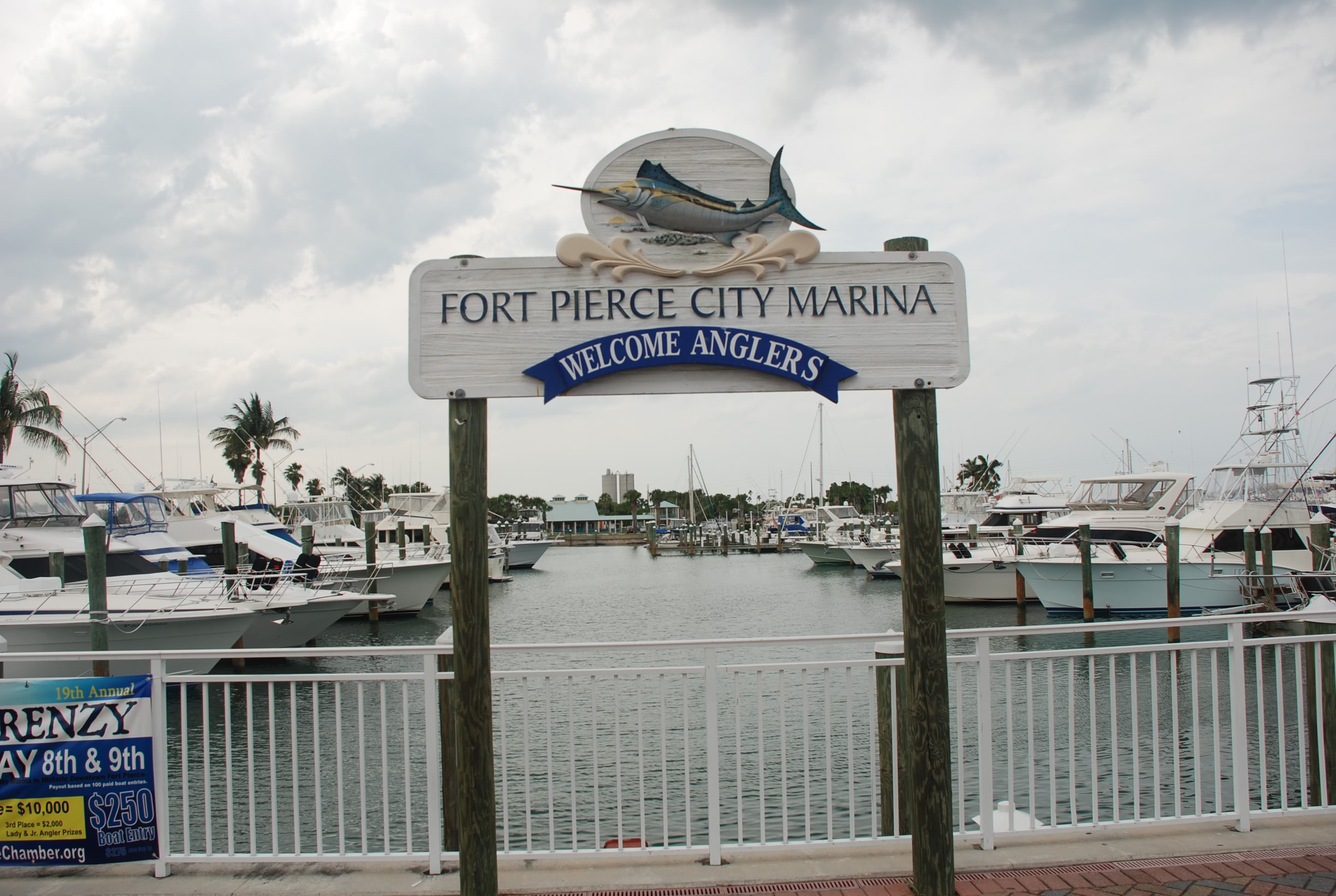
Our friends have been here but we have not, so we wanted to check it out. It has been recently renovated with floating docks (a real treat), solid shore power, and great WIFI (also a real treat). It is supposed to rain all day tomorrow so we wanted to have the ability to get off the boat without having to use the dinghy. I think we will stay another day! We walked into town and had all you can eat fish and chips at 2nd Street Bistro, and received the best service we have had in a long, long, time. Food was good too, and so was the price…another contrast from the Bahamas (expensive)!

It was hot and humid so I turned on the air conditioners…we have 2 on the boat…only one worked. Bummer. After working on it for some time, I came to the end of my ability to trouble shoot it, so rigged some fans to try to use just the smaller working one. After a few hours, it finally cooled off in the boat. I’ll have to get some help when we get to Southport.

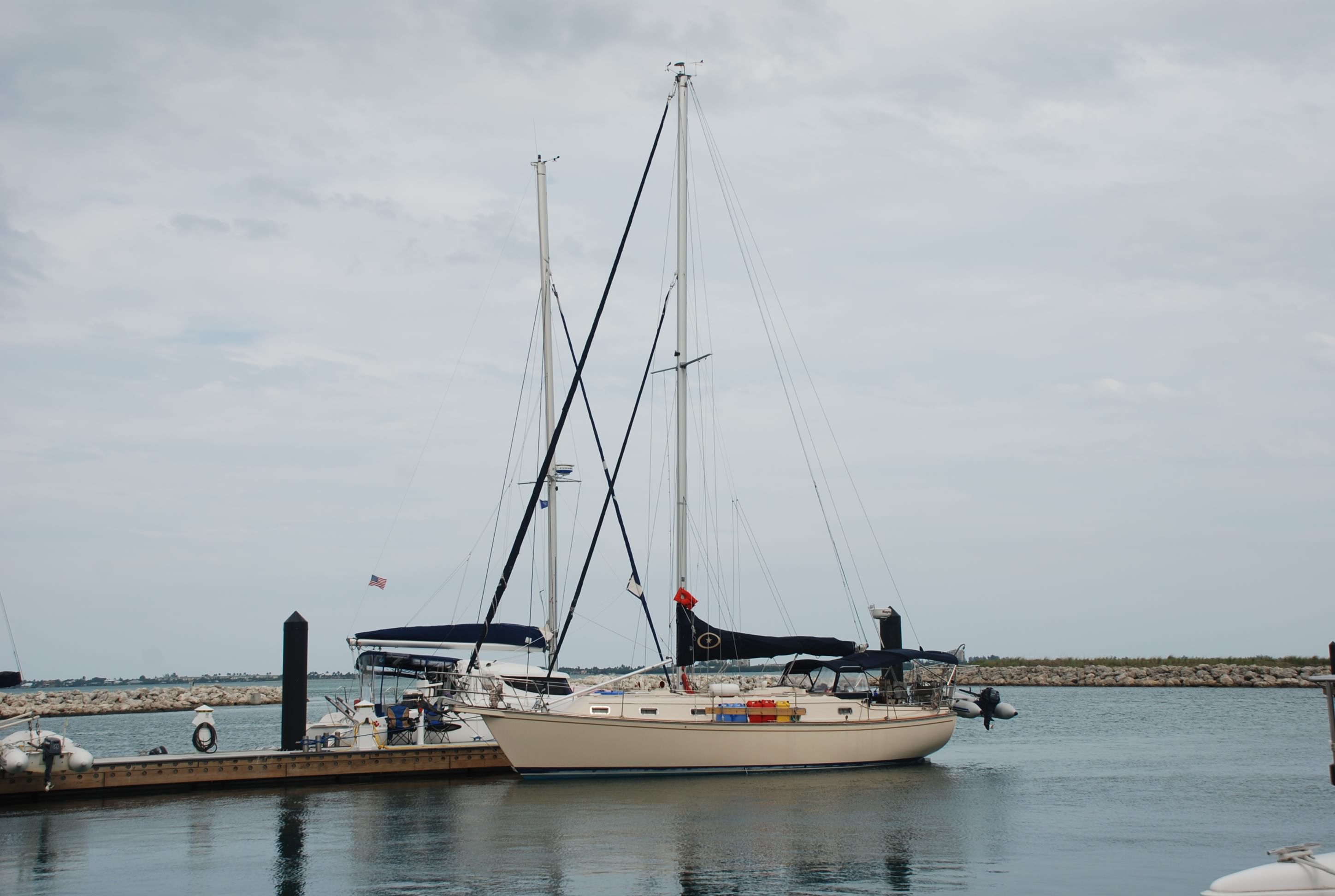
Island Bound resting at the dock:
DSC_0258

Movin’ up the ditch

4/26/15
Hobe Sound, Jupiter FL
Position: 27 00.312N, 080 05.741W
Posted by Bill

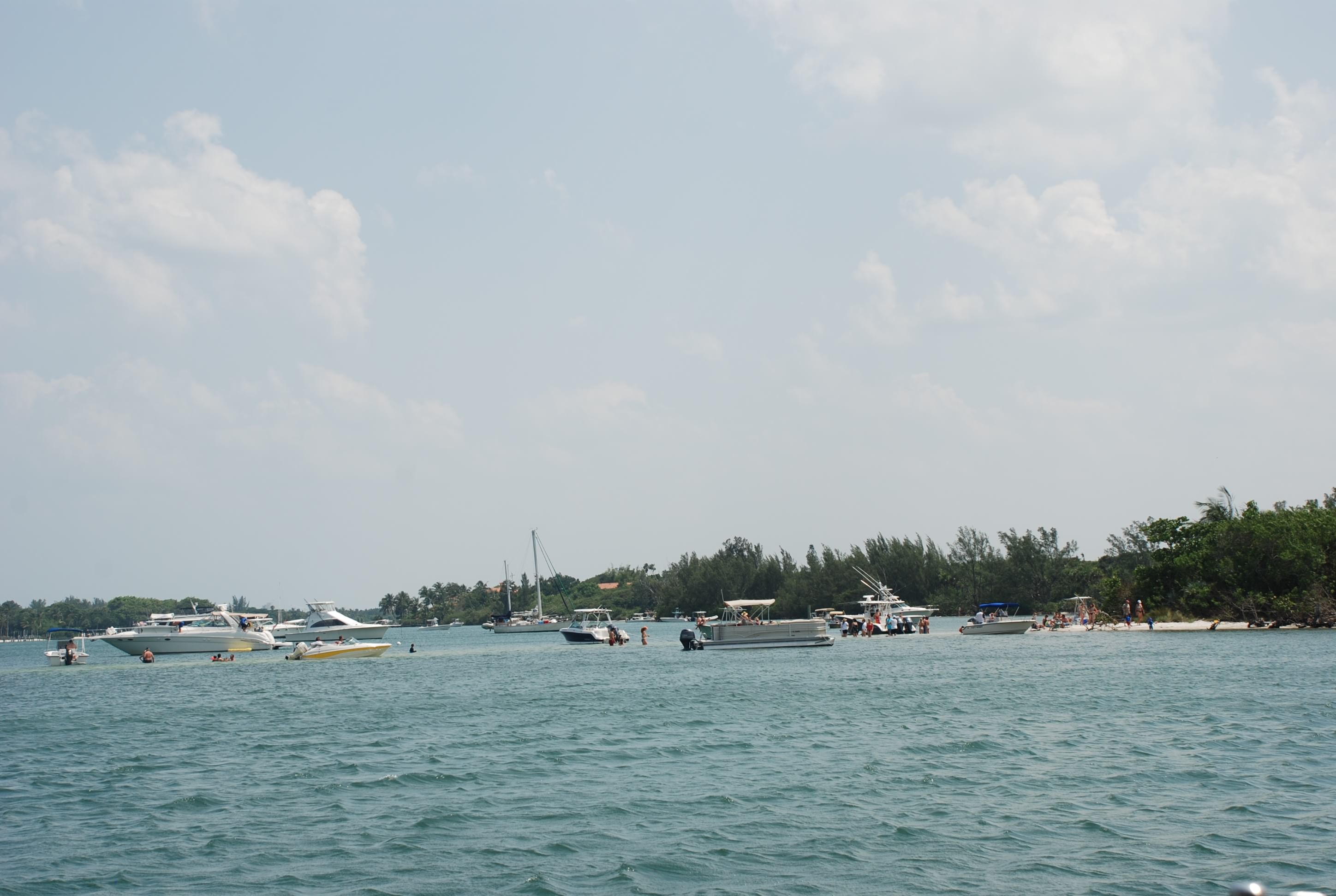
Our plan is to work our way north, arriving at Southport, NC the 3rd week in May. We are renting a house with the kids and grandkids at Kure Beach, NC, the first week in June so we need to be there with a week to spare. Other than that, we don’t have an agenda. As always, our life is determined by the weather, and we are expecting storms the next several days and big winds (over 30 knots) Tuesday, Wednesday and Thursday. We want to stop at Fort Pierce and Vero Beach on the way up, but that is over 50 miles, and we are too worn out to do that in one day at this point. We decided to move about 15 miles up to the Sand Bar Anchorage in Hobe Sound at Jupiter Florida. It is a cool anchorage and very crowded today, but most of the people went home as the weekend wound down.

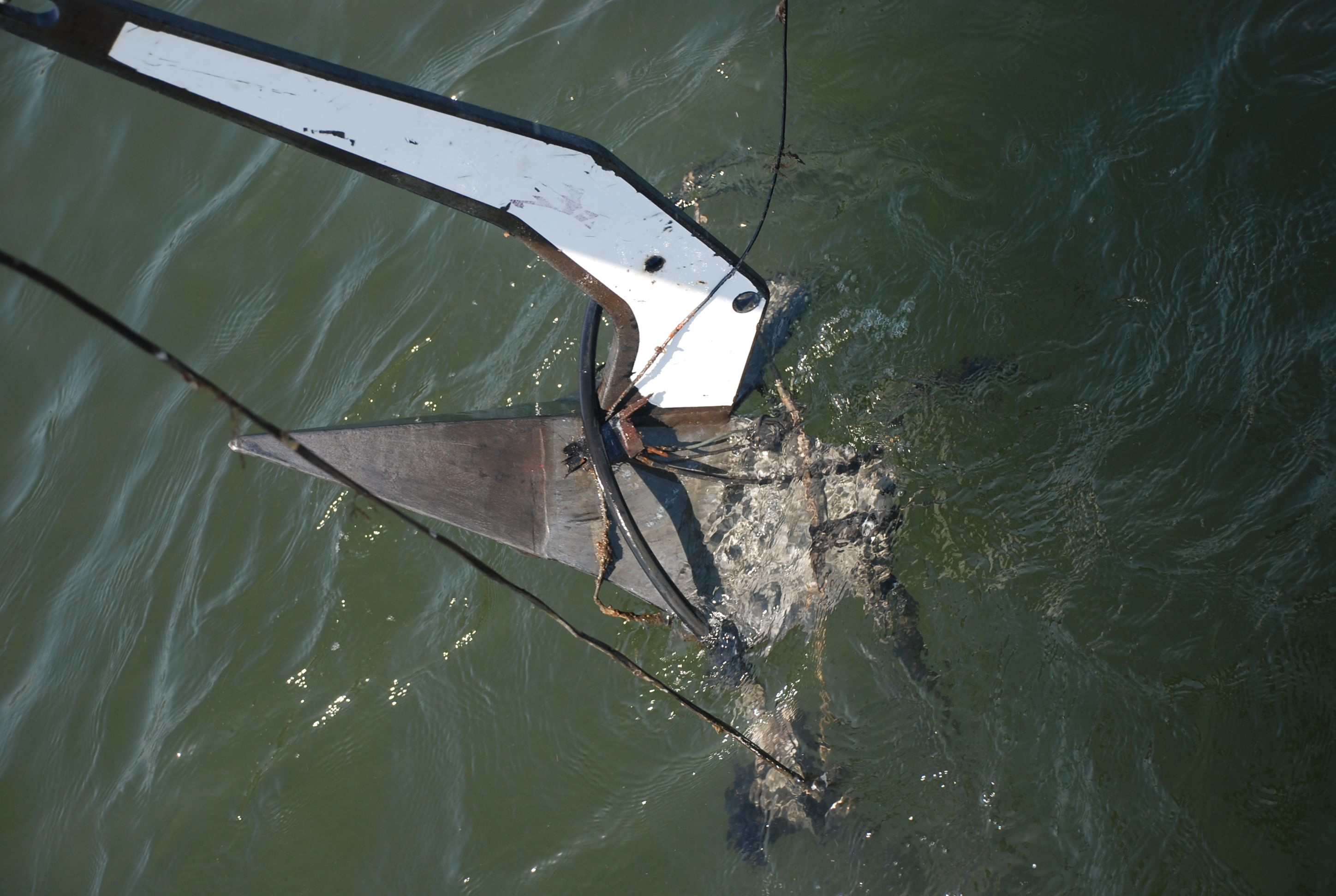
First things first…we started to pull the anchor up this morning and had some issues. We have an anchor windlass – an electric winch that deploys or retrieves anchor chain or rope. It makes anchoring much easier! I start bringing in the chain and hosing it down with the wash down pump (which pumps sea water through a hose to clean the chain and anchor). In some anchorages, mud and crud sticks to the chain and anchor, and you have to clean it off so that it doesn’t get into the anchor locker. I get the to point where the anchor should be coming off of the sea bed and it won’t budge. It was really windy, so I figured we had a deeply buried anchor, so we go to plan B. Plan B is cleating the chain off with a chain hook and snubber, and using the boats engine to pull the anchor out. We go all the way to half throttle and no budging! I was almost ready to dive into the murky water, but keep trying with both windlass and engine, and after about an hour we can see the anchor just below the water. We had hooked some sort of antenna that was attached to a cable and rope, that was attached to something under water.
DSC_0245
I raised and lowered the anchor while Tricia used the boat hook to free the damned thing, and after an hour we finally were free!

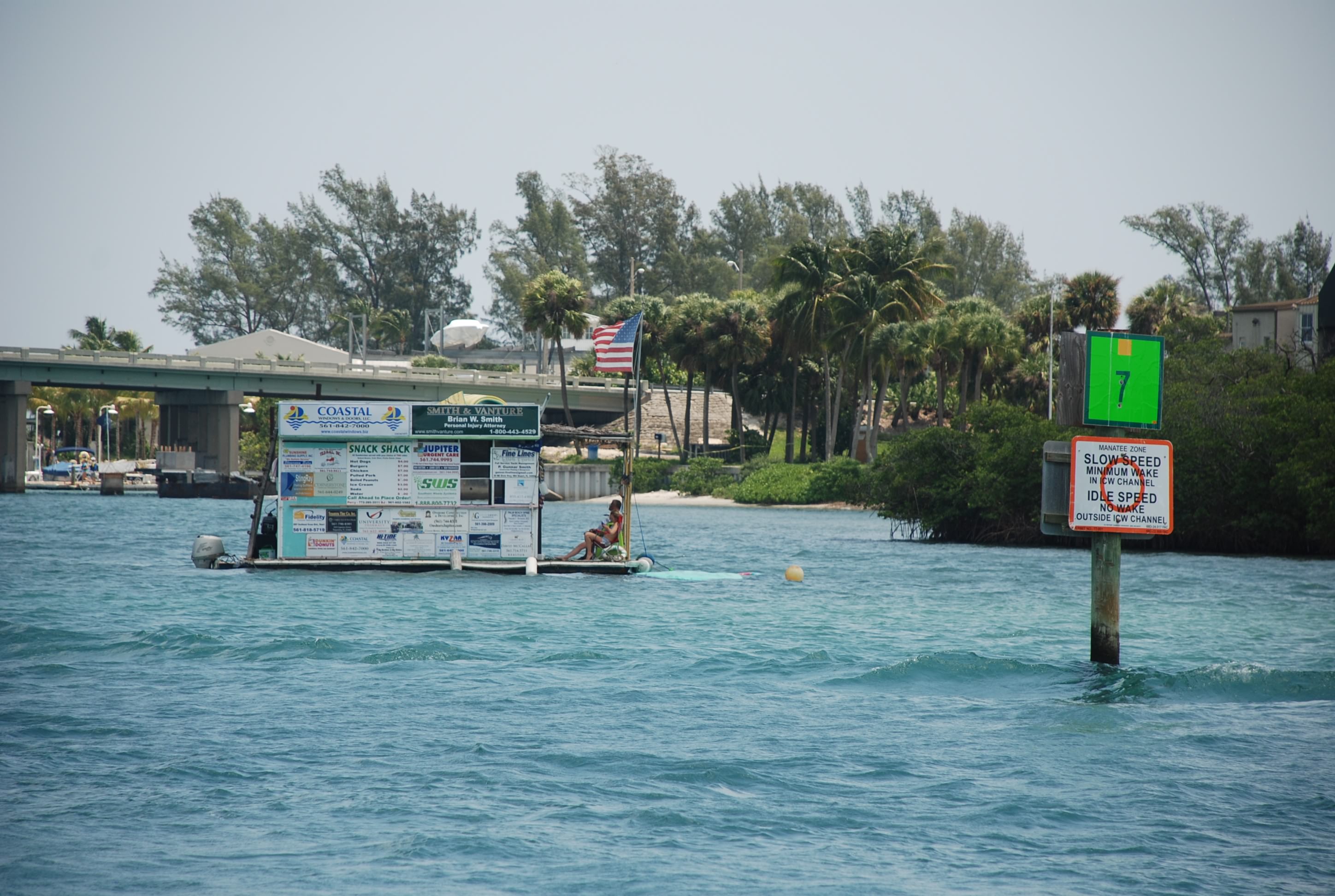
Along the way we saw the floating version of the “taco stand”:
DSC_0248
Love that!

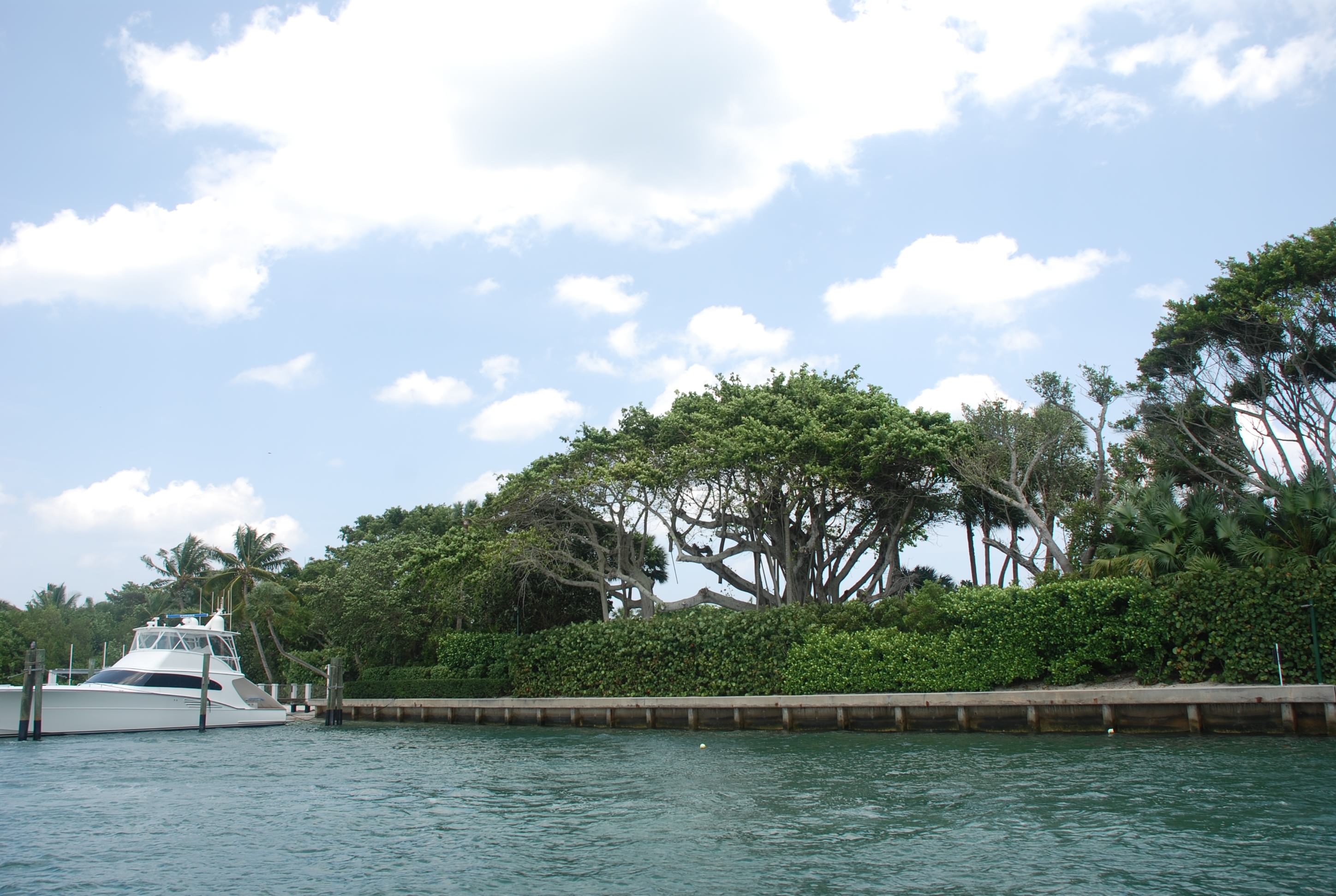
Then we passed Tiger Wood’s’ house, which you couldn’t really see, but one of his other boats was there:
DSC_0254

We anchored, made some drinks and swam off the boat…it was hot again today!
DSC_0256

Then we had fresh Mahi Mahi tacos, and feasted like kings!! We drank a lot too…lol!

Passage home

4/25/15
Lake Worth, FL
Position: 26 50.273N, 080 03.225W
Posted by Bill

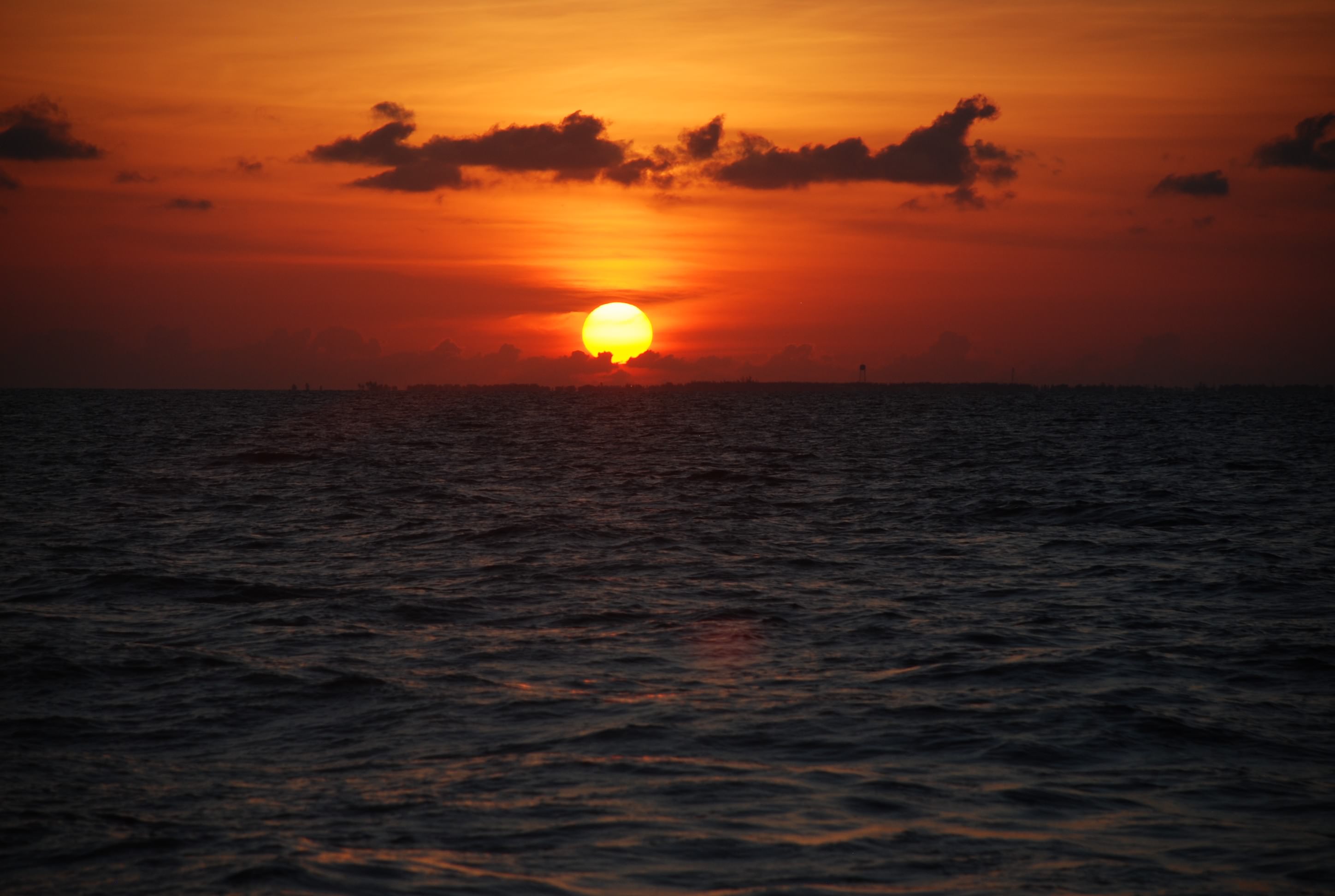
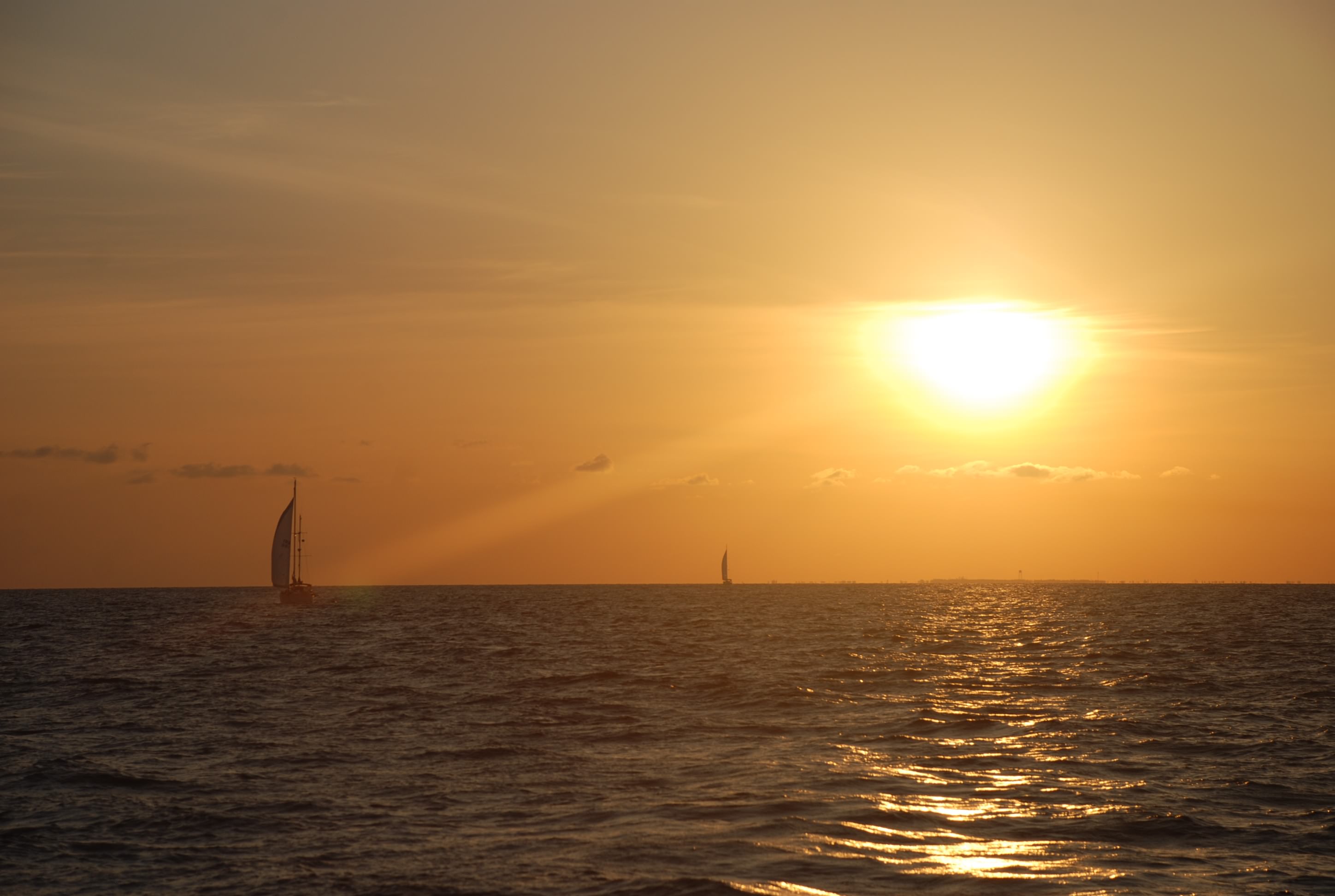
We left West End at 5:19 in the morning. We took a heading of 250 degrees, aiming 20 degrees south of our destination to compensate for the strong north current in the Gulf Stream. We had less than 2 foot seas and winds less than 12 knots, and winds were out of the south, allowing us to get some sails up. Here is a look back at the sunrise over West End:
DSC_0236
DSC_0239

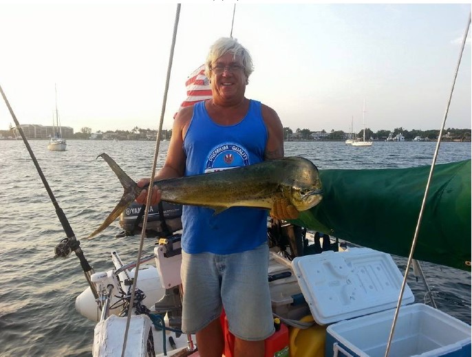
We predicted a passage of around 10-12 hours depending on the wind and seas. Sofia Jeanne and Byrd Ketcher put out some fishing line, no one having much luck. Finally, I told them to have the girls spit on the lure, a wives tale that I read about, and immediately after Sharon spit on the lure Kurt caught a 4 foot Mahi Mahi! Very cool.
KByrd Catch 2015
(photo courtesy of Byrd Ketcher)

Around the half way mark, the winds picked up and the seas started to build. When we got into the Gulf Stream things got really rough, and the last 15 miles of the trip was exhausting. We were so happy to get into the inlet at Lake Worth, finally out of the washing machine effect of the seas, and we ran right smack into weekend on the Florida ICW (Intracoastal Waterway). If you remember from previous posts, we vowed to never traverse the Florida ICW on a weekend again! Boats, kayaks, wave runners, paddle boards…seamanship out the window…boats going full speed and throwing wakes, one right after the other…complete insanity…all in shallow water, and a waterway that is as wide as a small river! It was almost as bad as the seas we just escaped. Temps were in the 90’s, so everyone who had something that floats was out on the water.

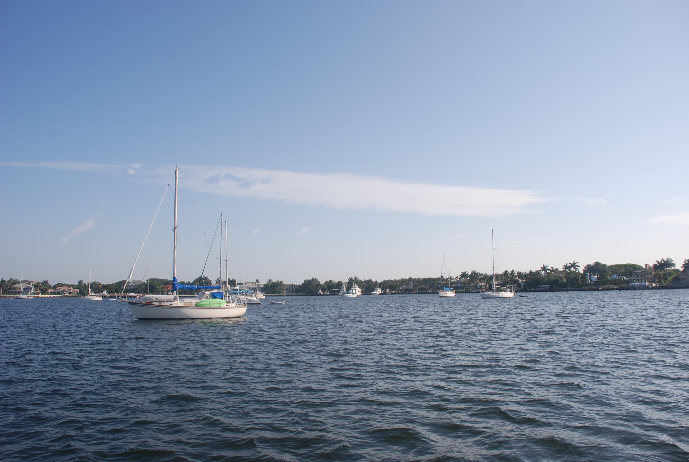
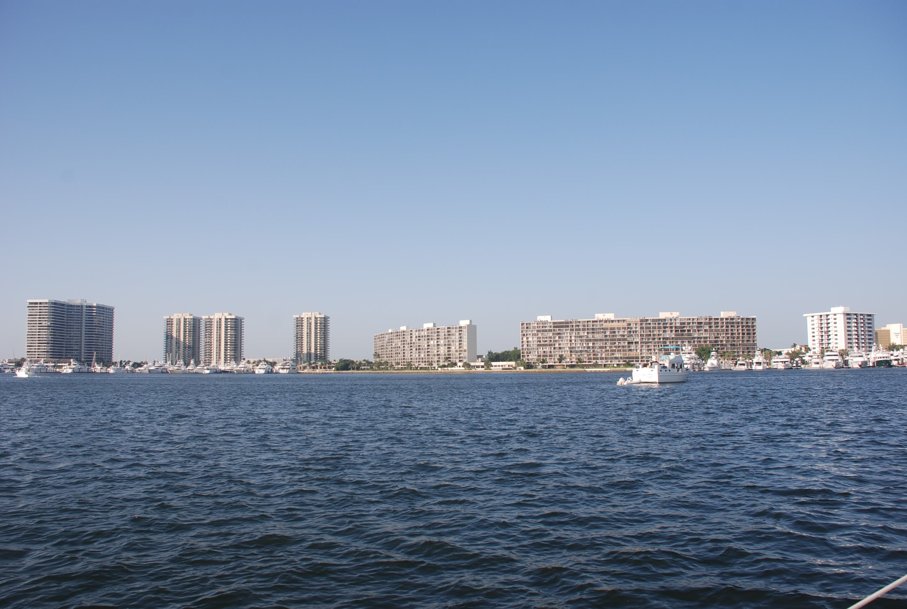
We made our way up to the anchorage on the north side of Lake Worth, put down the anchor, cleared in with Customs and Immigration, and had several cocktails. Here is a few of the anchorage:
DSC_0242
DSC_0241
Quite a contrast from the Bahamas…more on that in another post.

Tiger Woods’ boat is docked just across the anchorage from us. It is the one on the far left:
DSC_0243
It was really hot and the wind was blowing into the mid-20’s, but we made it home!

Chasing another window

4/24/15
West End, Grand Bahama, Bahamas
Position: 26 42.079N, 078 59.467W
Posted by Bill

The weather has been really crazy in that no one can seem to predict what is going to happen, even for the current day. Winds coming from all directions. Rain, when there is a zero percent chance. Etc…..

It has been difficult to determine when to make a move to cross back to the States. We need at least a 3 day weather window, and after spending a couple of days more at Green Turtle, we got another chance to move.

We left on the 22nd and sailed over to Crab Cay (position 26 55.145N, 077 35.671W), a really nice anchorage, which we had mostly to ourselves. Nice and remote. Here was the sunset behind Sofia Jeanne and Byrd Ketcher:
FullSizeRender 04 19 01
The weather was beautiful.

On the 23rd, we originally planned to stop at Great Sale Cay, as it has excellent protection from all sides but the south, and we had a slight chance for some weather. On the 24th we were planning to go to West End on Grand Bahama via Indian Cut, which is less than 5 feet at low tide, and low tide would have been close to our arrival time if we stopped in Great Sale. Instead, we decided to go past Great Sale and stop at Mangrove Cay, a small cay that offers less protection, but allowed us to traverse Indian Cut on a favorable tide.

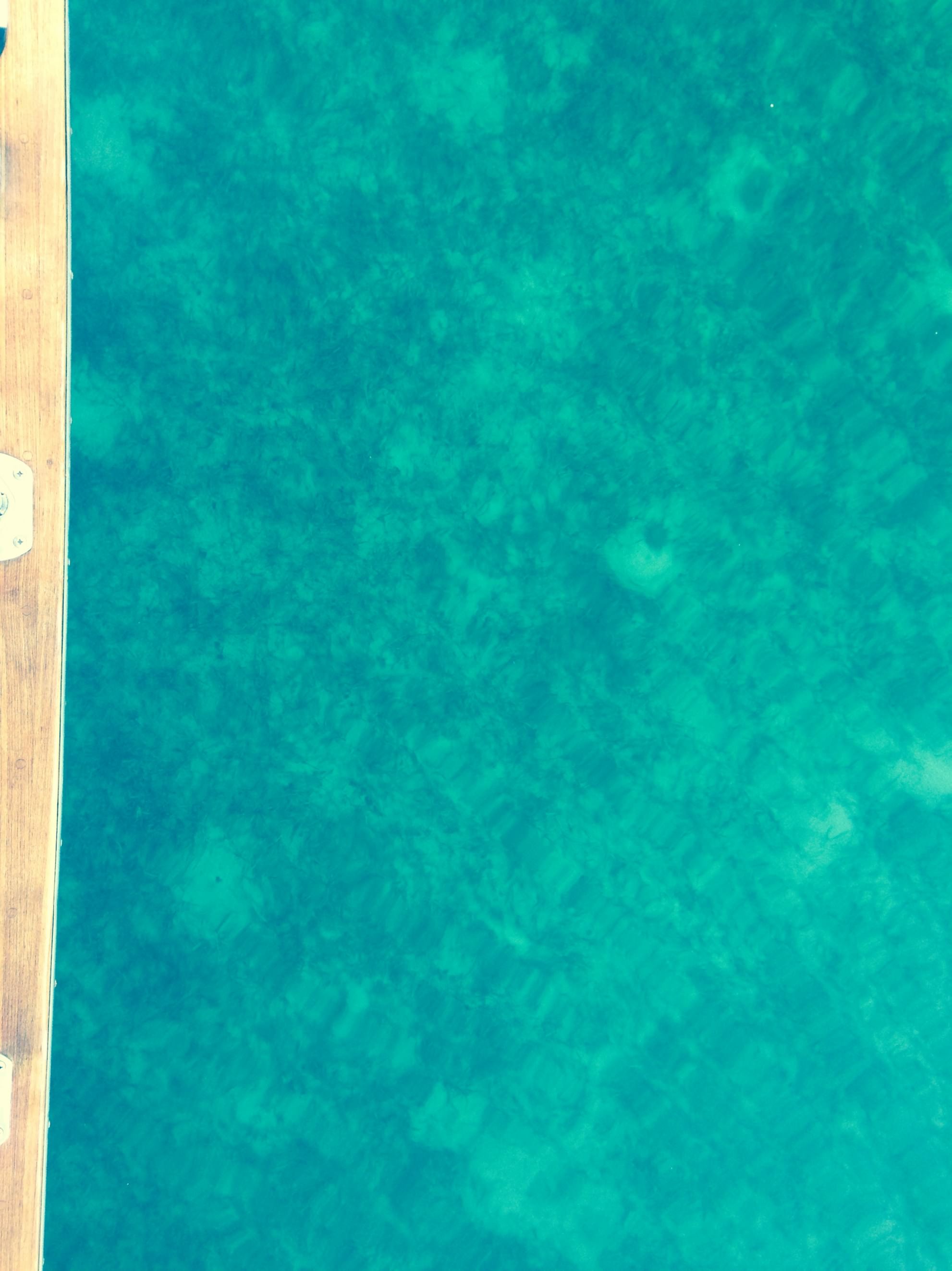
The tide to Mangrove was with very little wind and flat seas. I had the autopilot on and stood at the bow of the boat for hours just looking into the water. We were in 9-12 feet of water and you could see everything on the bottom of the Little Bahama Bank. It was just like sailing on a pane of glass…incredible!
FullSizeRender 04 20
There just wasn’t a way to capture it to share. That was the best I could do.

We had a slight bit of rain and the wind picked up over night into the mid-teens. We made the move to West End in choppy seas and winds up into the 20’s, not what was forecasted of course! We went through Indian Cut with lots of water under us…never saw less than 7 feet, and out into the Atlantic Ocean for a run south to the marina. That part of the trip was rough. Big rollers on the ocean were hitting us on the starboard beam and rocking the boat pretty bad. We went into them for a ways so that we could run the final leg with seas on the quarter, and we made it into Old Bahama Bay. Old Bahama Bay is a really nice resort and marina with several restaurants, a pool and a nice beach. The grounds were well kept and the lodging was upscale. It was hot and we hit the pool with cocktails to wallow. The only problem is that the slip rental is very expensive. Not someplace you want to have to wait for a week for weather. Tomorrow winds are supposed to be 5 to 10 knots out of the S and SE, with north swells to 2 feet…let’s hope it holds, as there is not another window for 7 to 10 days!

That deja vu feeling all over again

4/20/15
Green Turtle Cay, Abacos, Bahamas
Posted by Bill

We left Green Turtle on the 18th, planning to work our way west, enjoy some of the remote cays along the way, and work our way back to the States. We stopped at Manjack Cay, hoping for some good snorkeling, but the winds and waves were out of the SW and made the anchorage very uncomfortable, so we motored across the Sea of Abaco to the eastern shore of Great Abaco, protected from the winds. We anchored for the night and all 3 boats had dinner together. It was really good and lots of fun. The next day the winds were supposed to lie down and shift, so we motored about 9 miles up to Powell Cay, another great snorkeling and fishing spot. Once again, winds higher than forecast and out of the SW, so we motor across the Sea of Abaco to Coopers Town, in the protection of the eastern shore, and anchor for the night. The big plan is to get to West End on the far western side of the Bahamas to cross over to the States, with Thursday looking like a great weather window. It will take a couple of days, and we have scoped out where we can anchor based on the wind forecast, but we can do it…not! The weather window slams shut, and the winds are nothing like the forecast is stating. After much analysis and deliberation, we throw up the white weather flag and motor a couple of hours back to Green Turtle. The weather is going to be snotty at least until Sunday, and we can ride it out comfortably there. Winds are predominately from the E or SE this time of year, and it has been, or will be blowing S, SW or W for most of the week…go figure.

One good thing is that we have shore power and decent internet access here, and I am getting the blog up to date. I might even be able to get the Map of Where We Have Been updated! The other good thing is that they have a pool and cheap rum drinks! Hopefully we will find a weather window to come back in the next week or so.