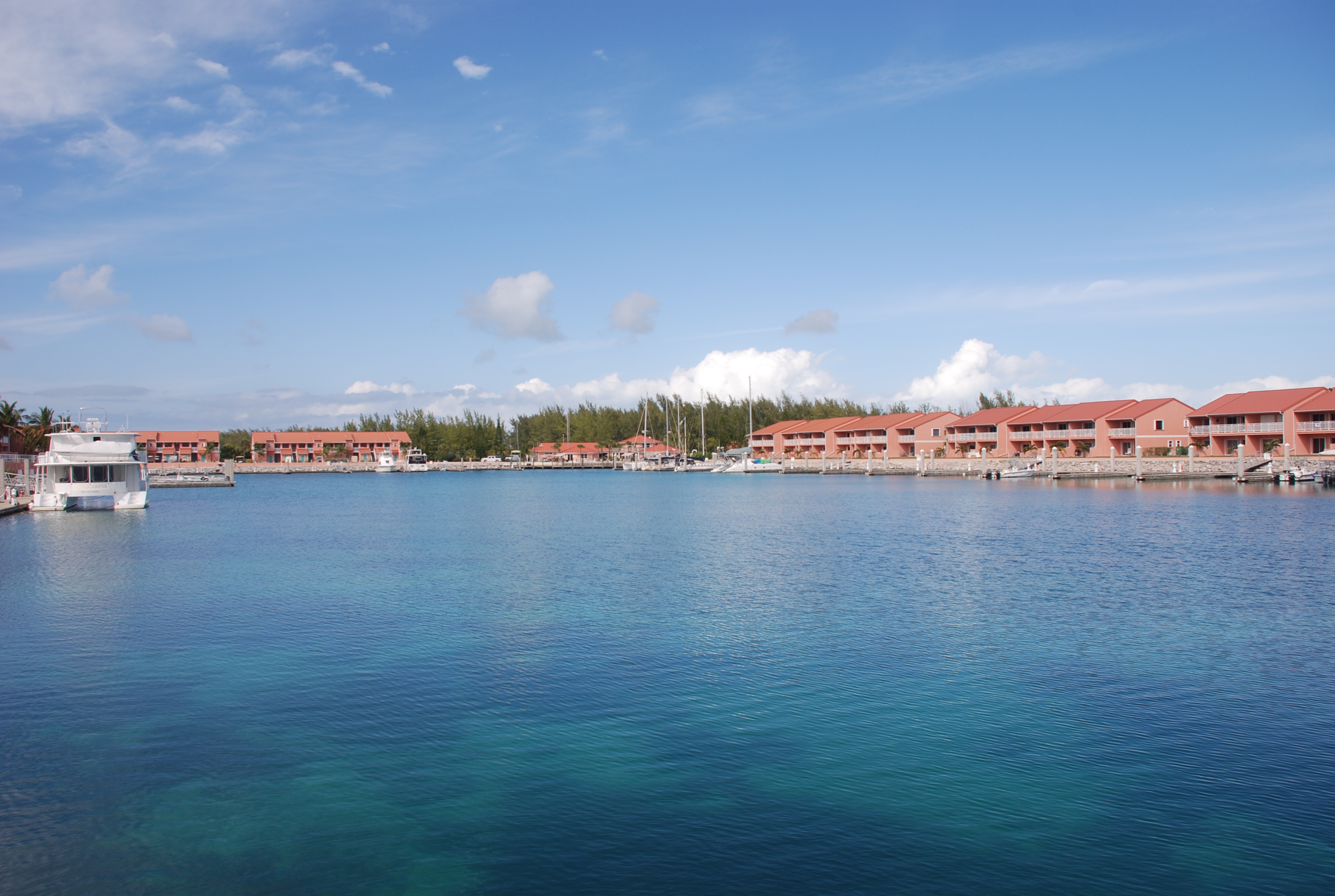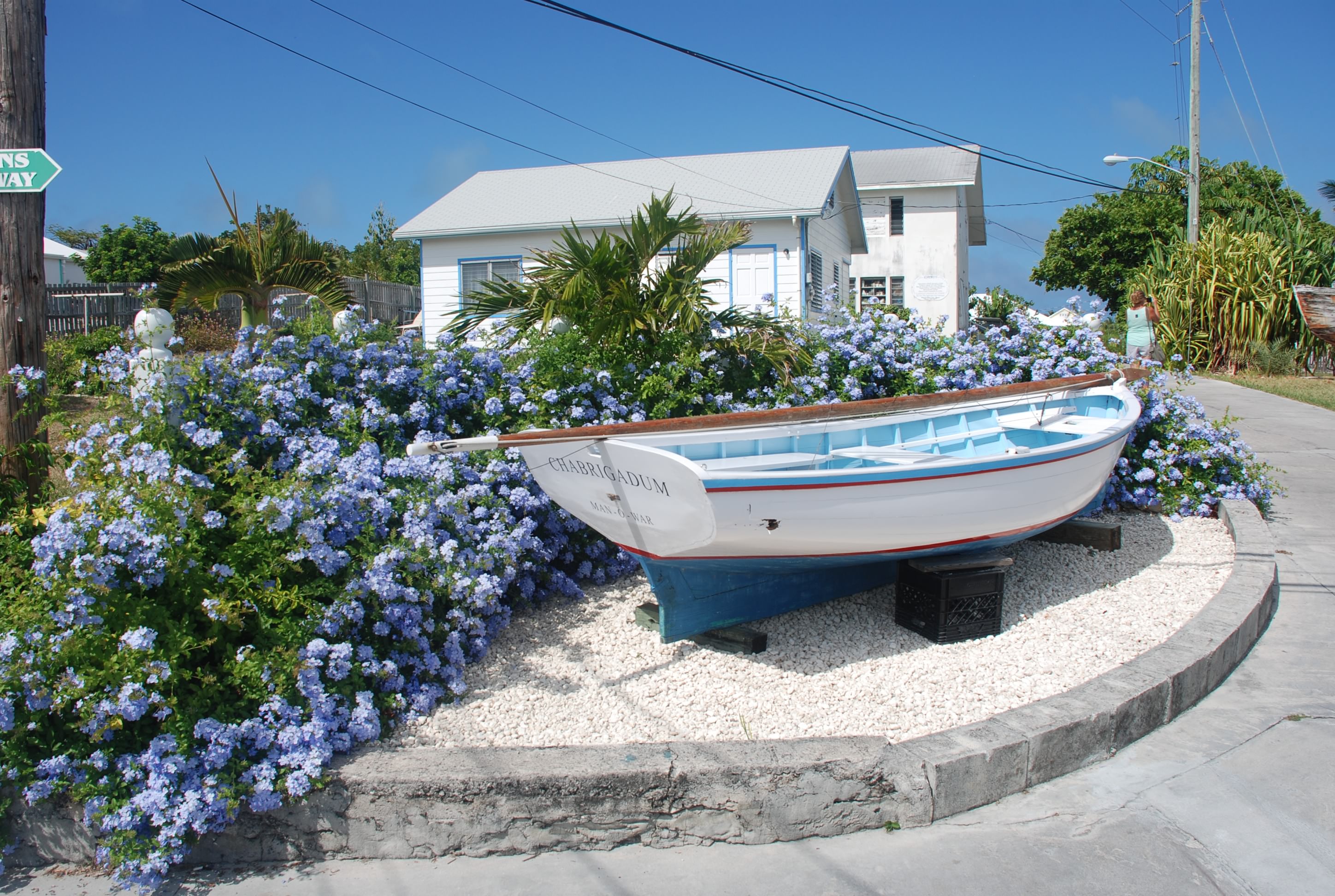
3/9/16
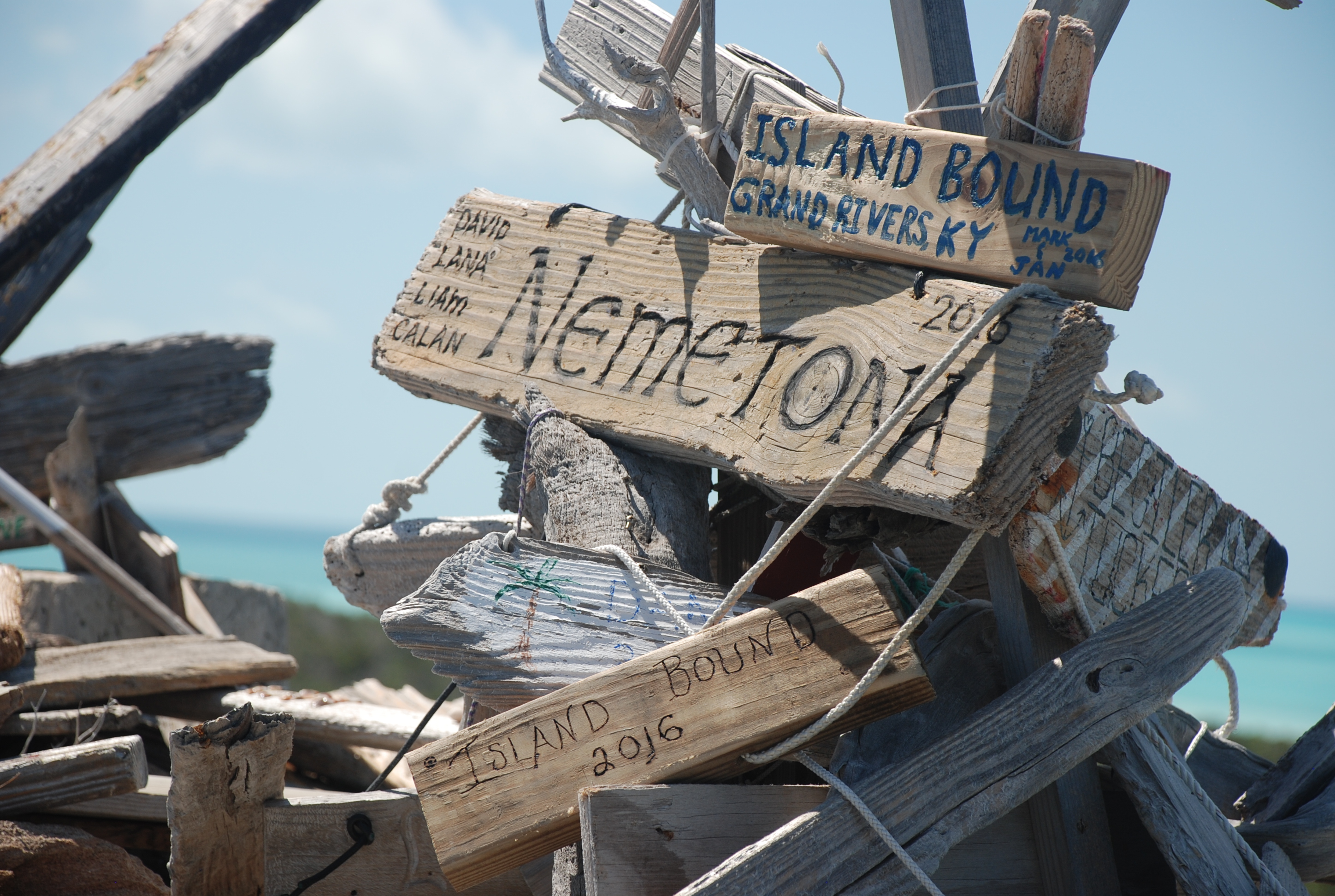
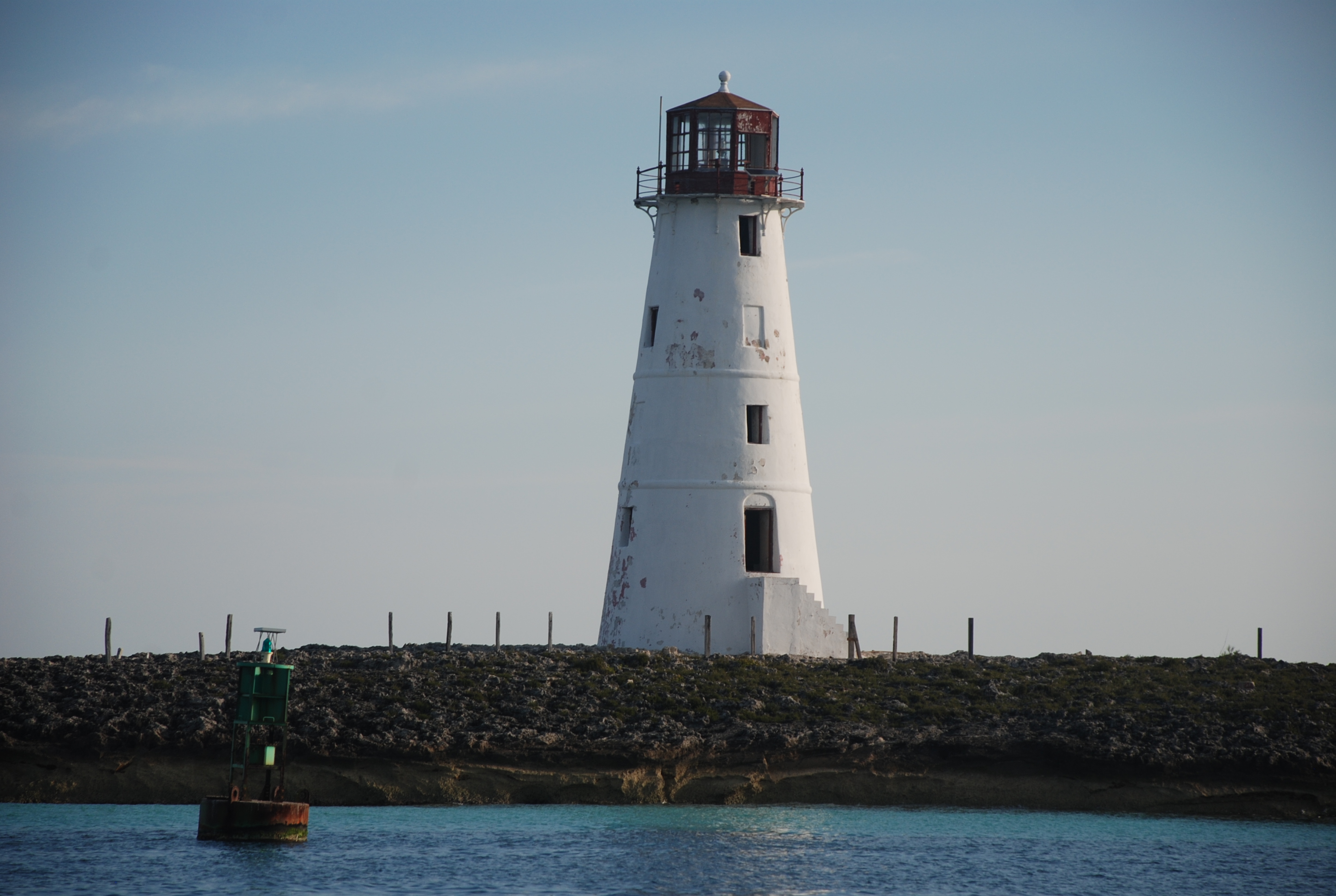
Warderick Wells, Exumas, Bahamas
Posted by Bill
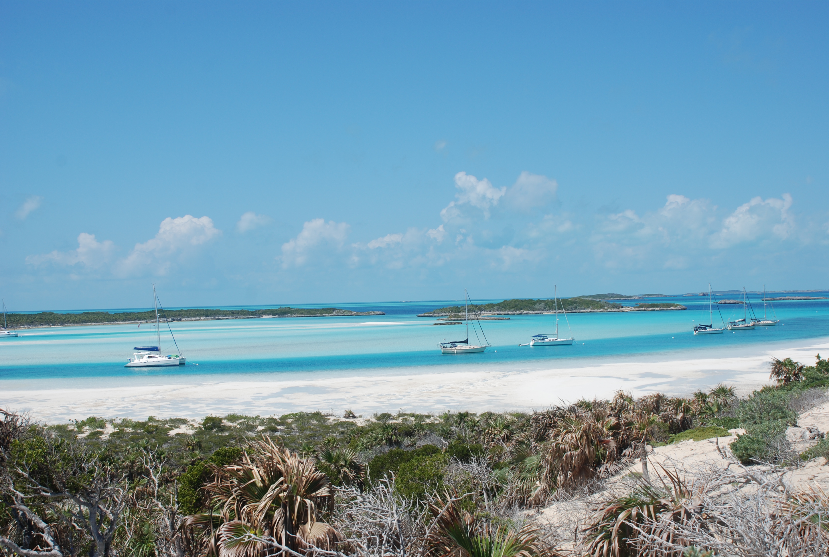
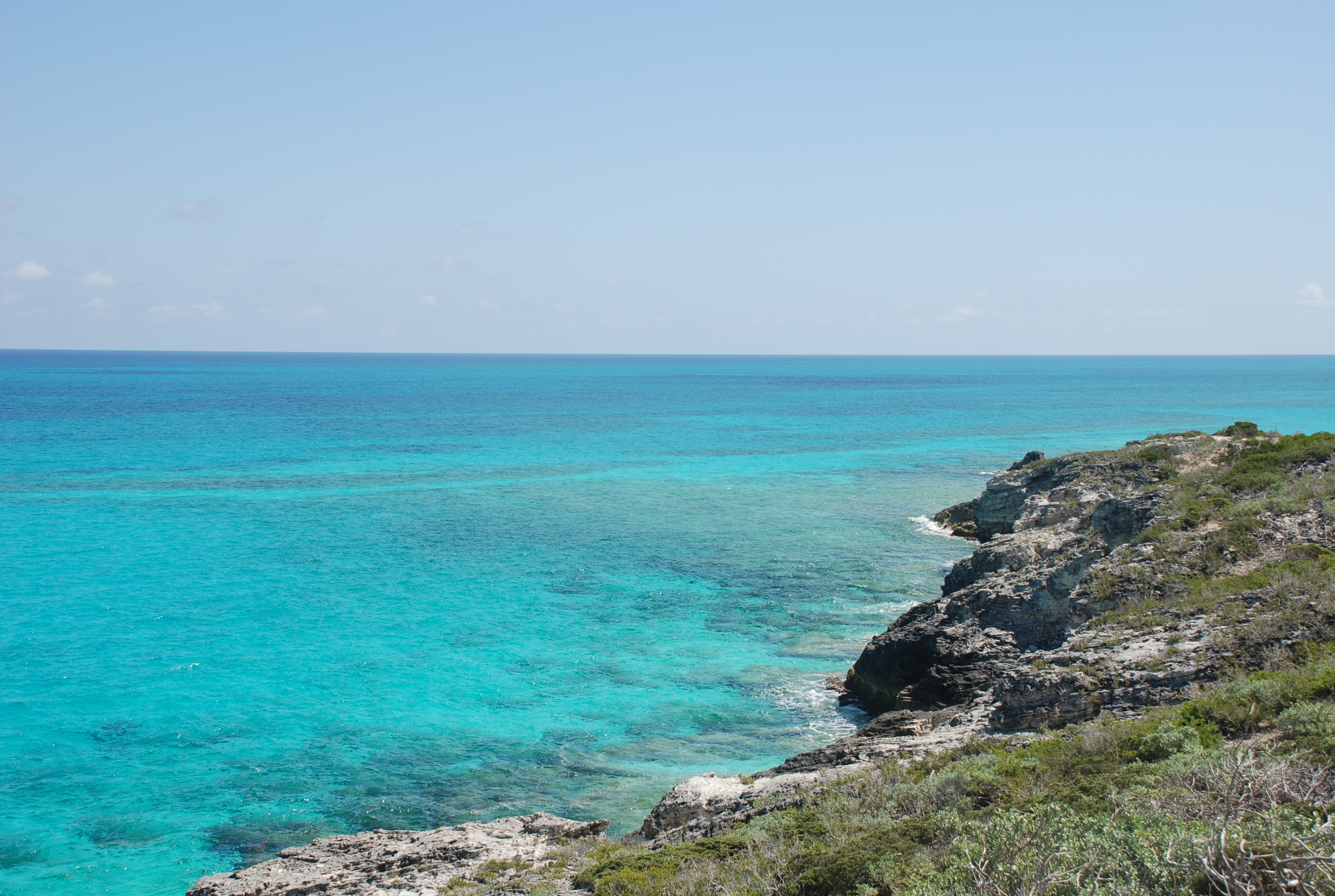
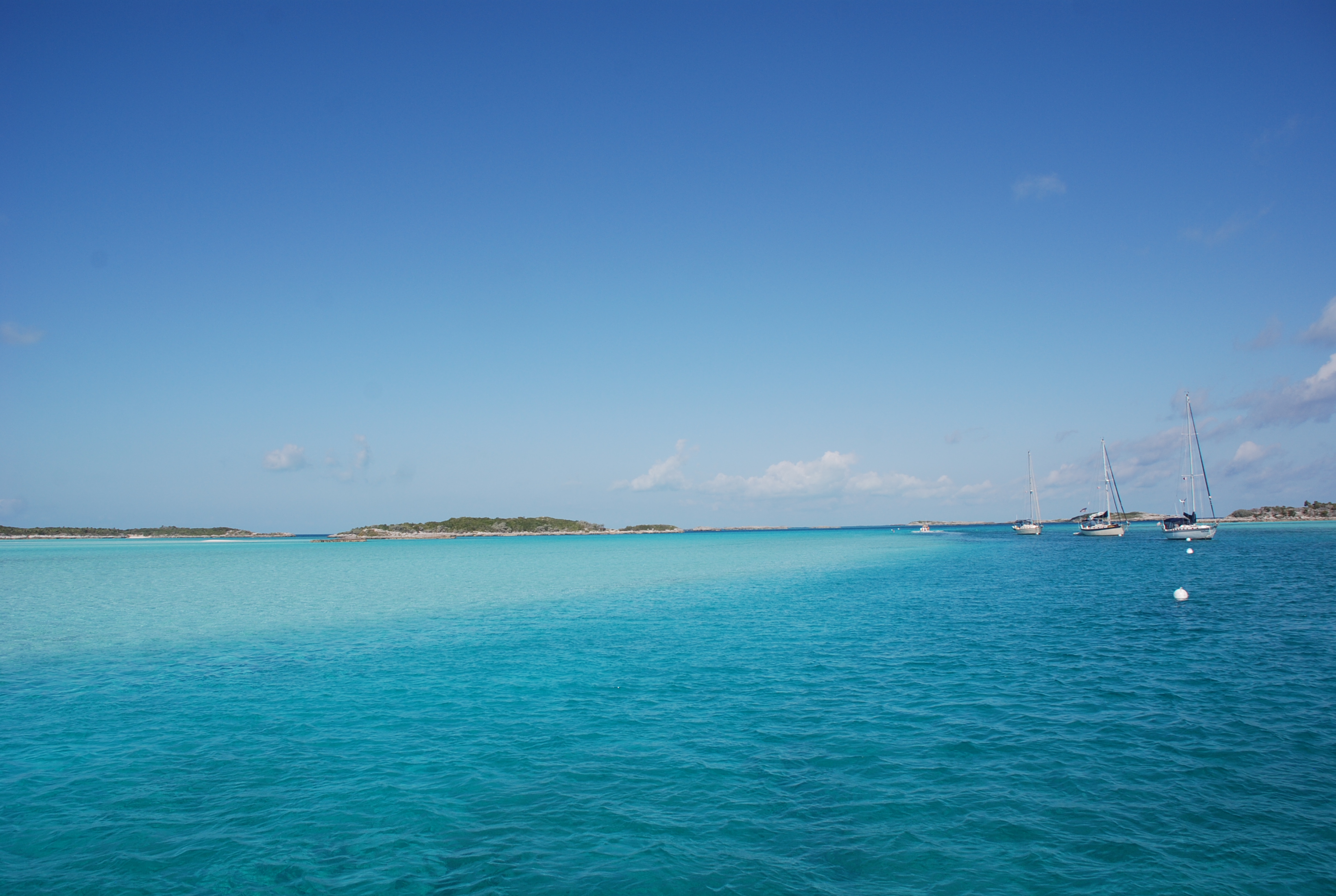
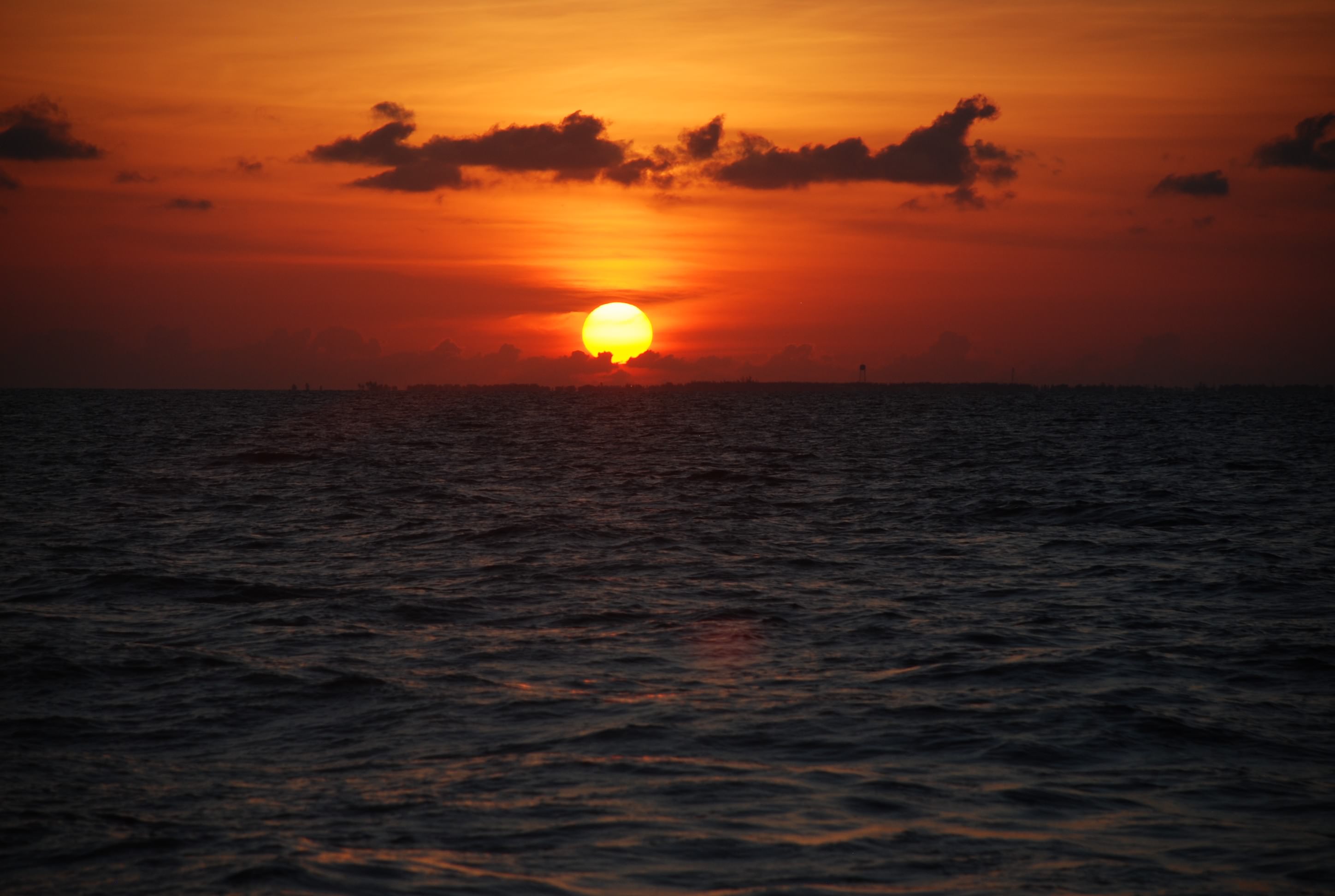
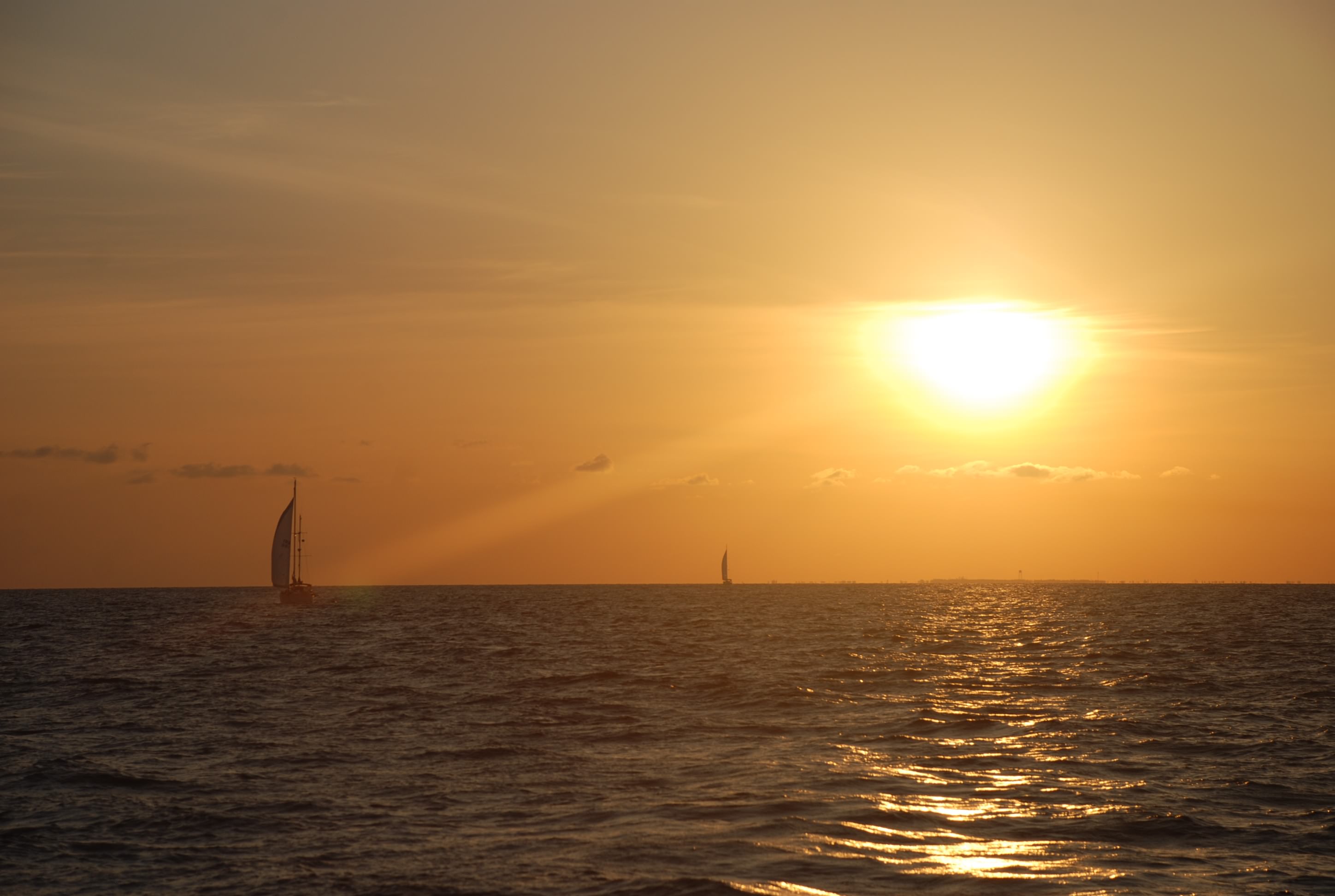
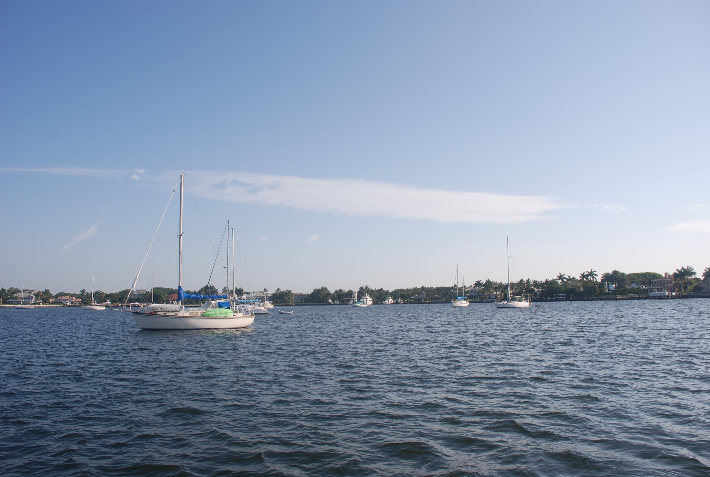
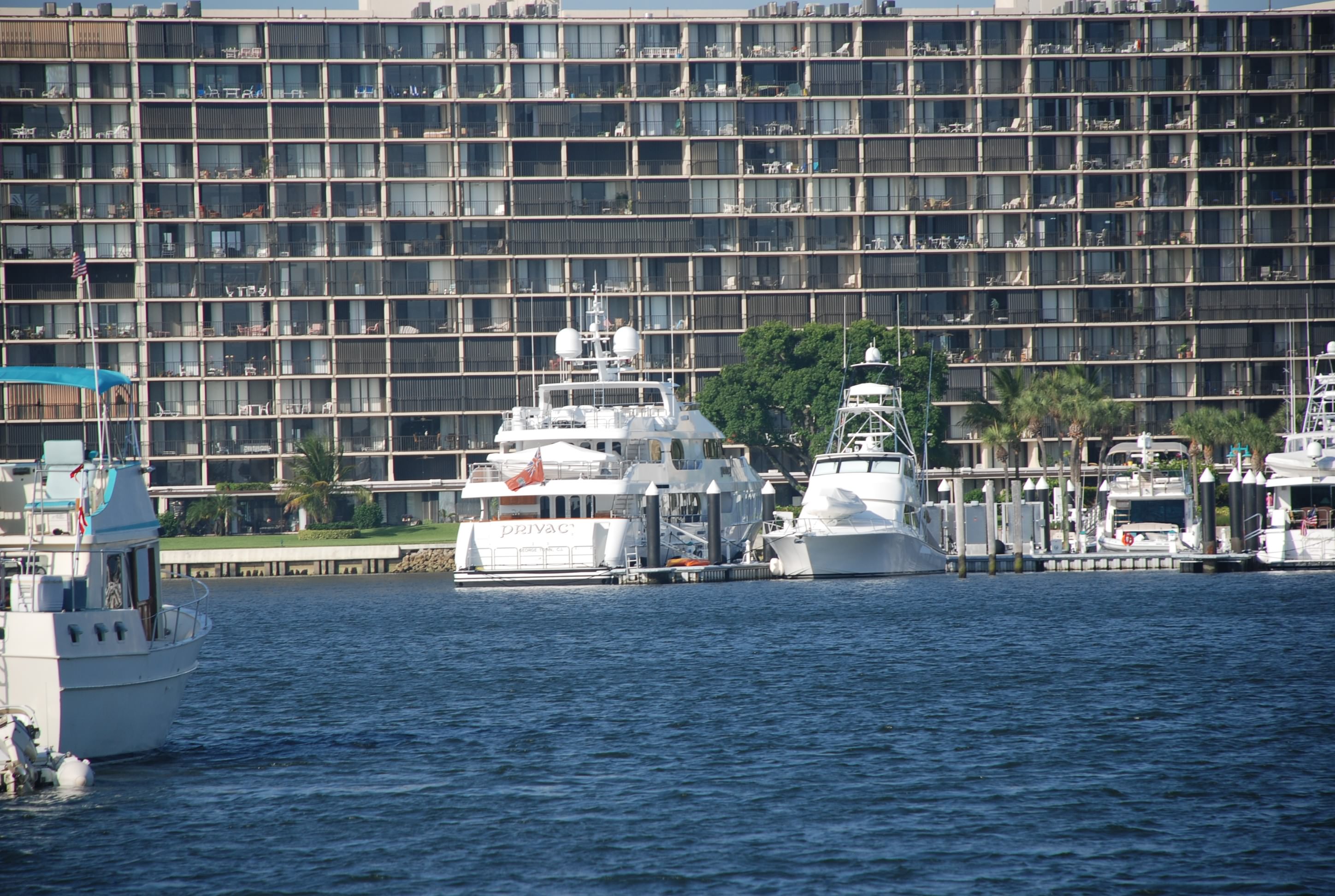
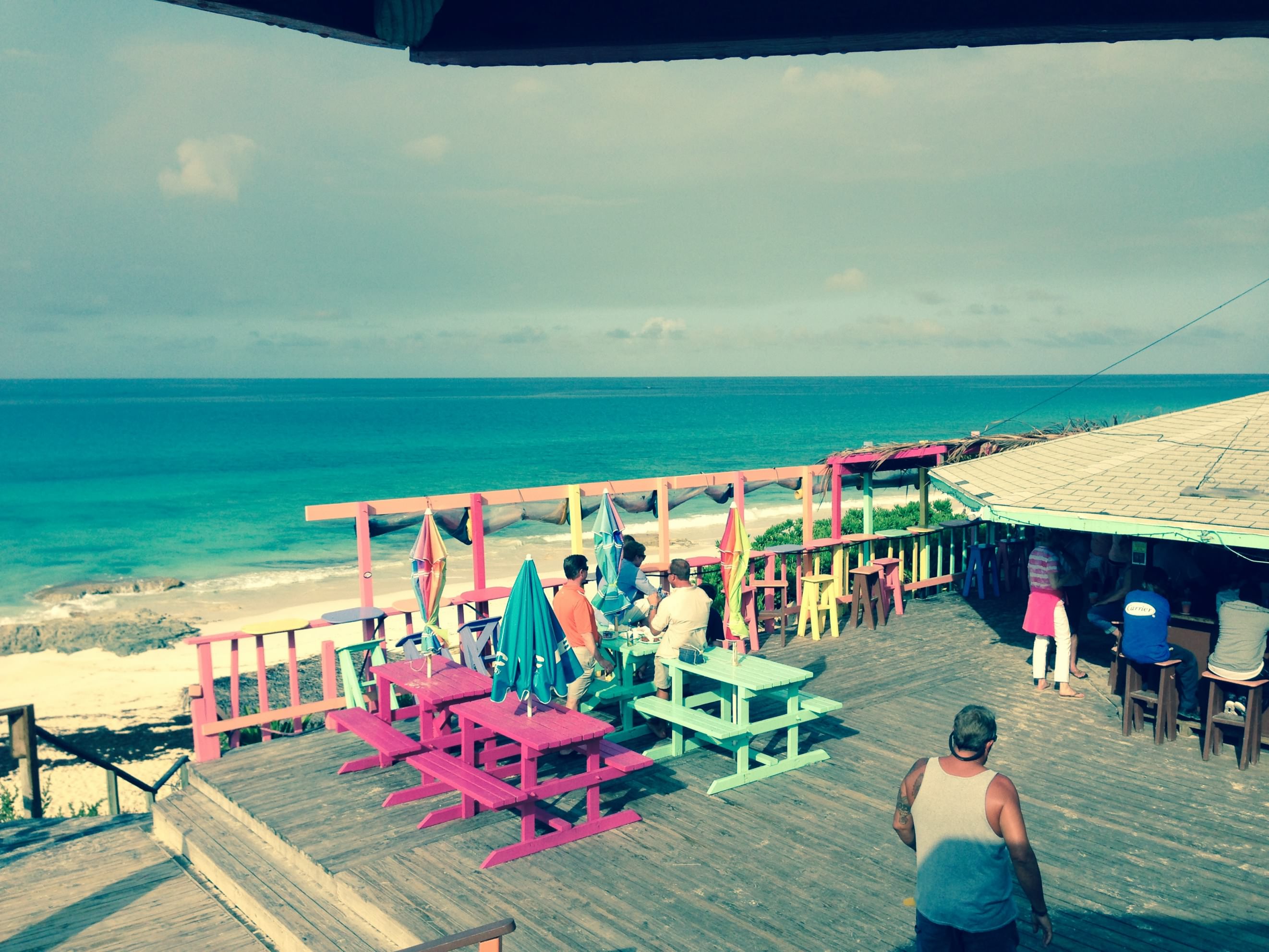
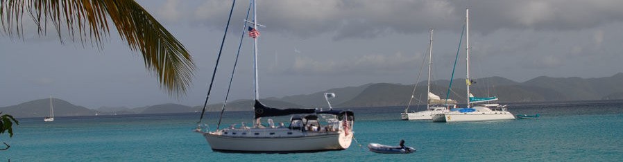
We have been plagued by really high winds, blowing 20 to 35 knots for the last 3 days, and it doesn’t look like it is going to quit for a few more days. We have been glad to be on a mooring ball and have the protection from the waves that we do. The wind still howls, but we are not getting slammed by the seas that it creates. So the good news is that we are secure and protected, and it is absolutely beautiful here. The bad news is that this is a really remote area. There are no facilities, including no place to dump your trash, and the cellular service is very bad and infrequent. We have not been able to post anything since Bimini. It is amazing how much trash you generate. Normally you don’t notice because you can take your trash to a receptacle almost everywhere in the States. It is starting to back up, and of course, there is no place to store trash on a boat.
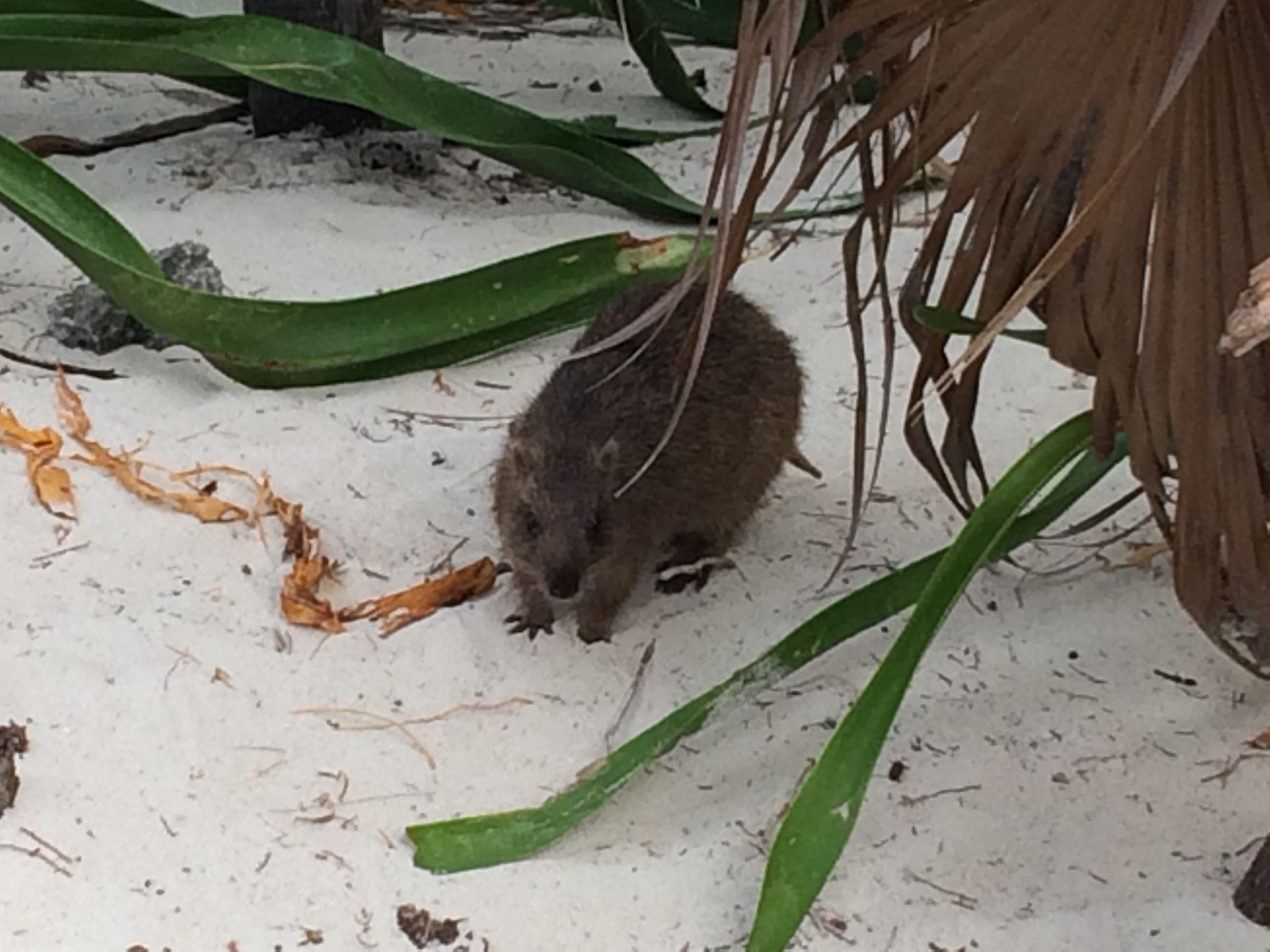
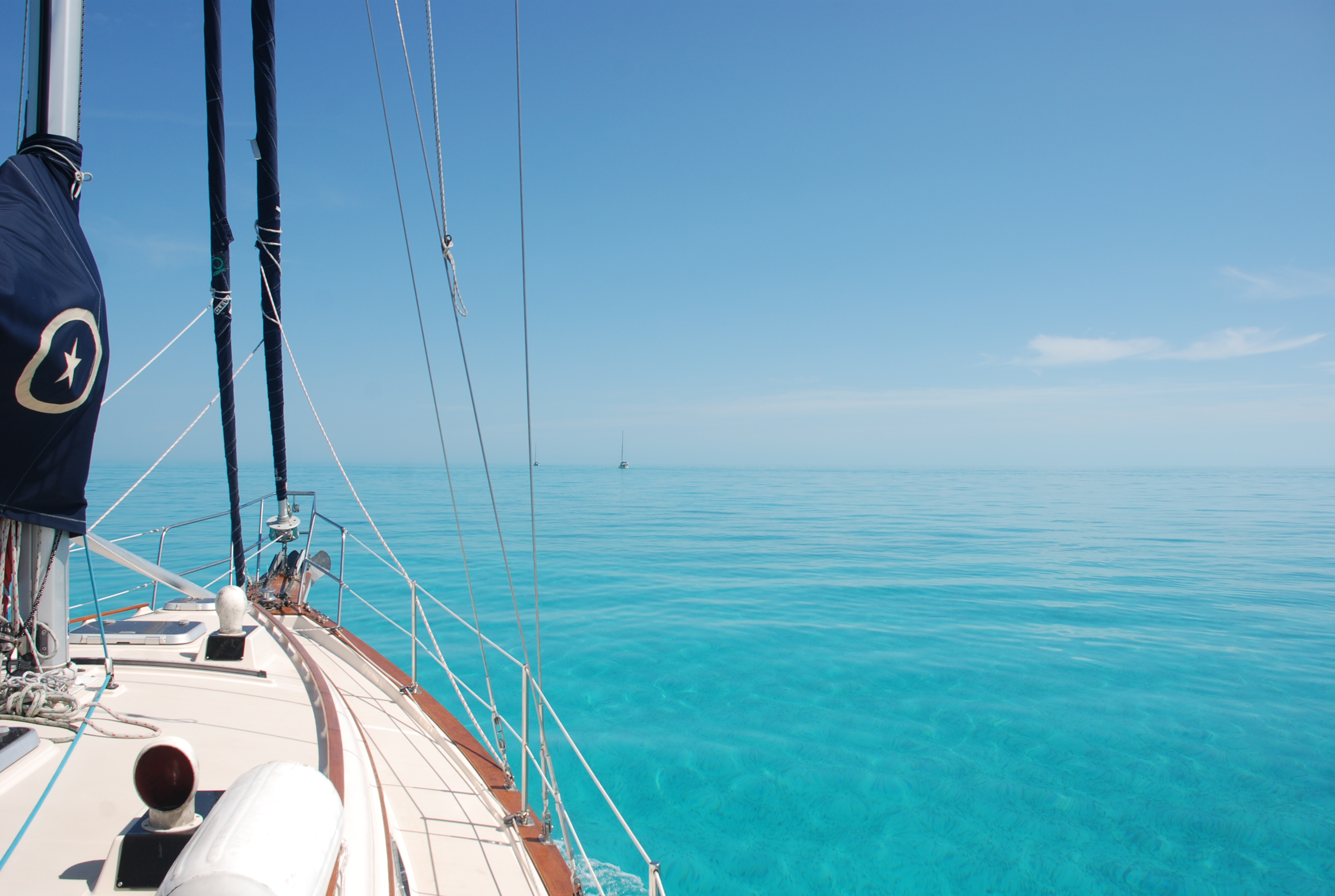
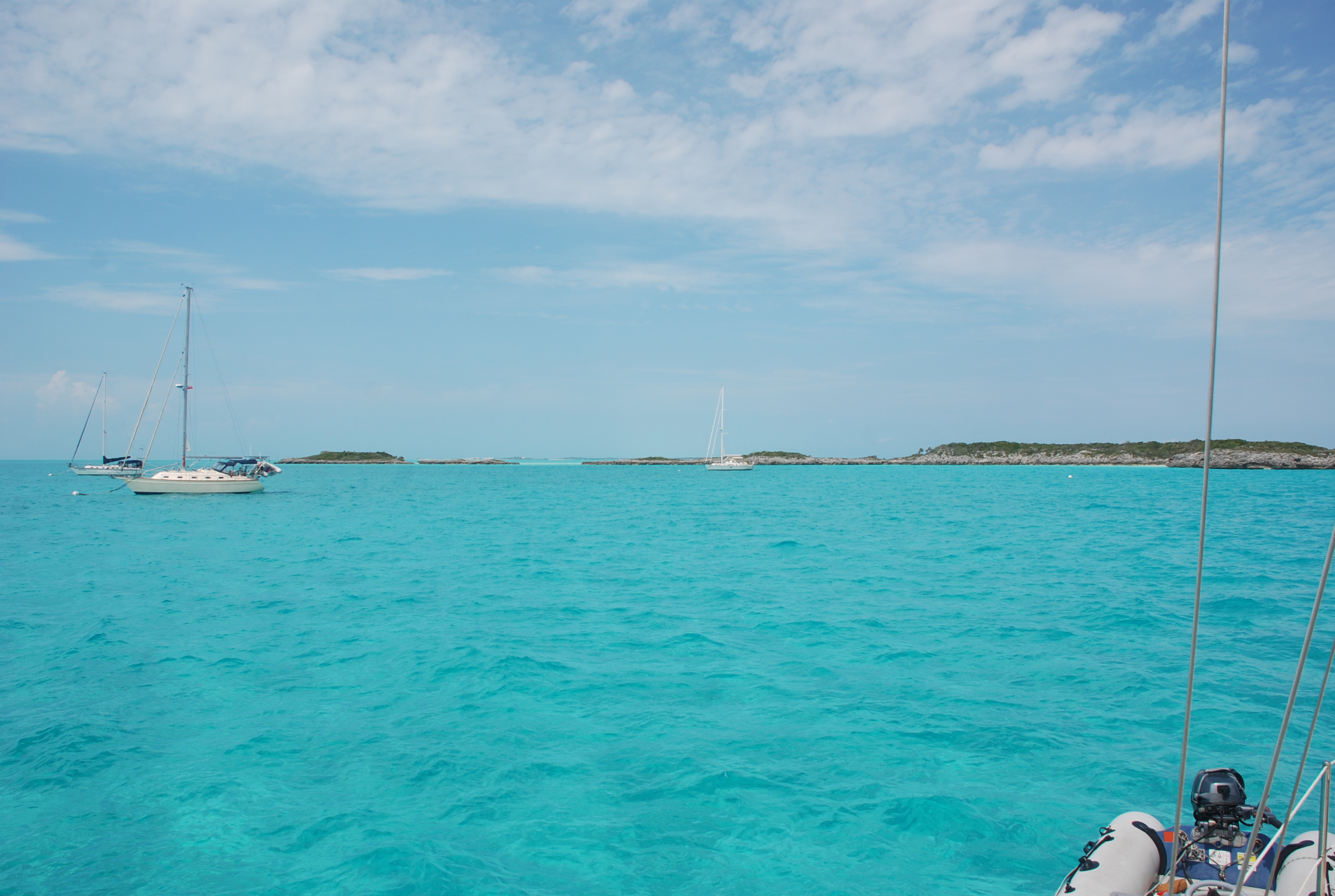
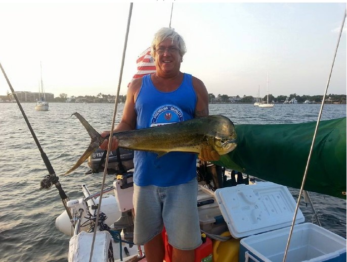
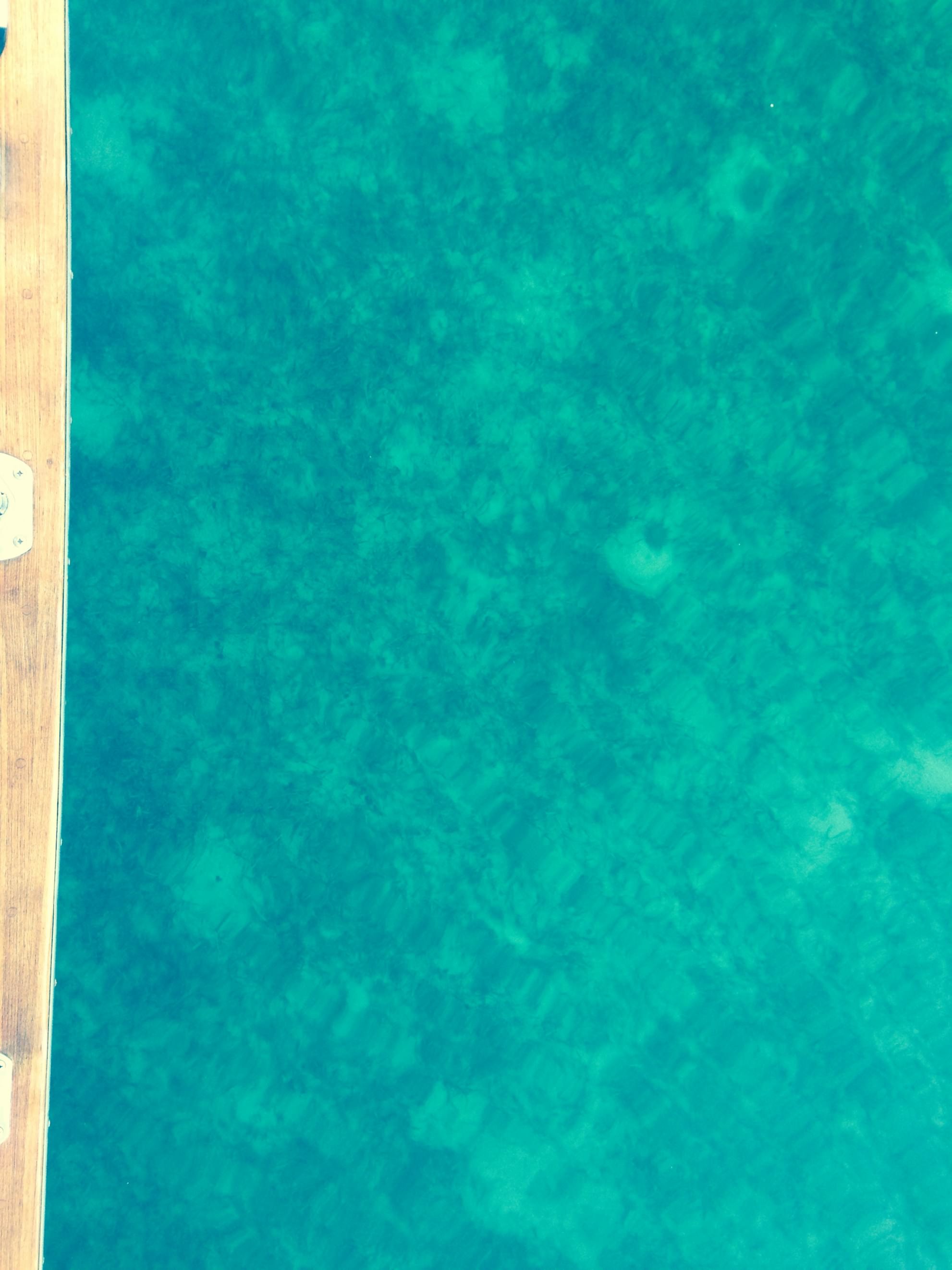
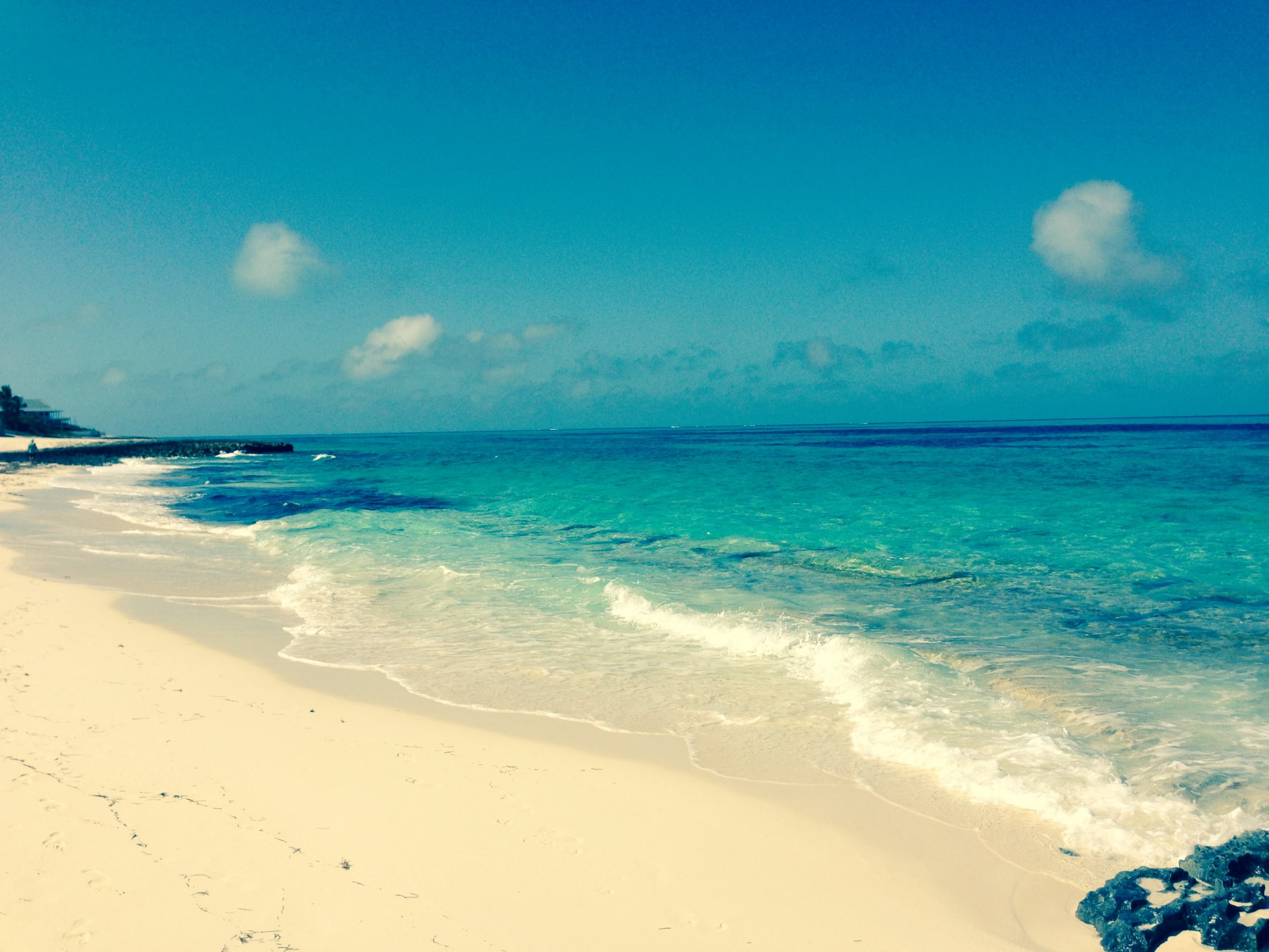
Yesterday, after polishing some stainless, we ventured ashore to check out the blow holes again, this time at high tide. The wind and spray was rushing up through the blow holes…very cool. We then tried to snorkel. The snorkeling is really great here. We started by drifting around in the dinghy with the look bucket (bucket with a clear bottom to view underwater). There were lots of colorful fish around the coral heads, and we saw some huge sting rays, about 4 to 5 feet wide. They swim by the boat a lot and even jump out of the water. With the high winds, the water was just too cold, and too cold to get out, so we ended up just exploring the sand bars at low tide. We saw lots of starfish, sand dollars, and baby conch. I almost got my wetsuit out so that I could snorkel, but I didn’t want to deal with washing it off with fresh water afterwards and using our precious supply of fresh water. It is very expensive to get fresh water here, and not every place has it. After that we joined the other Island Bound and Sea Lyon for some wallowing, and had a great time.
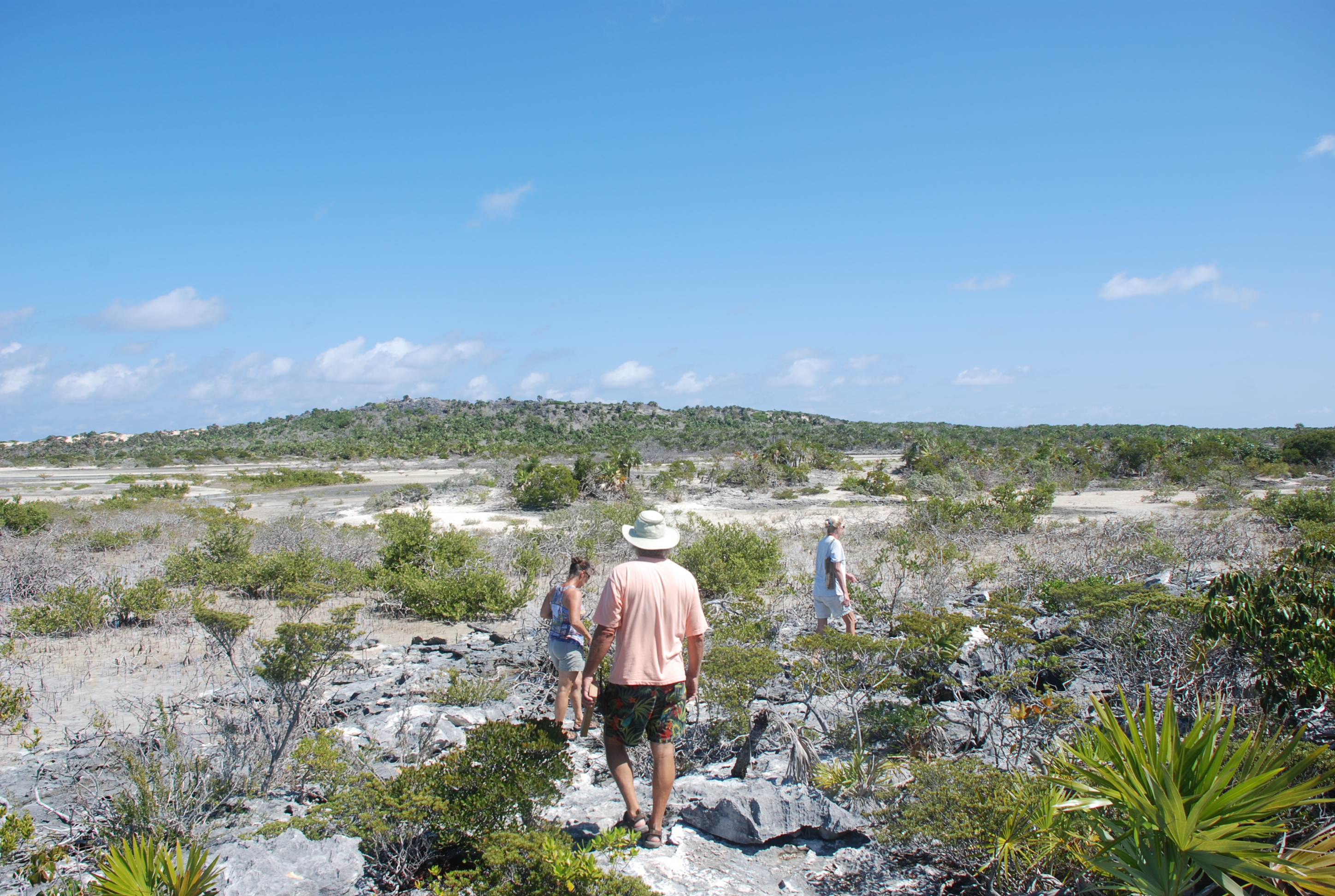
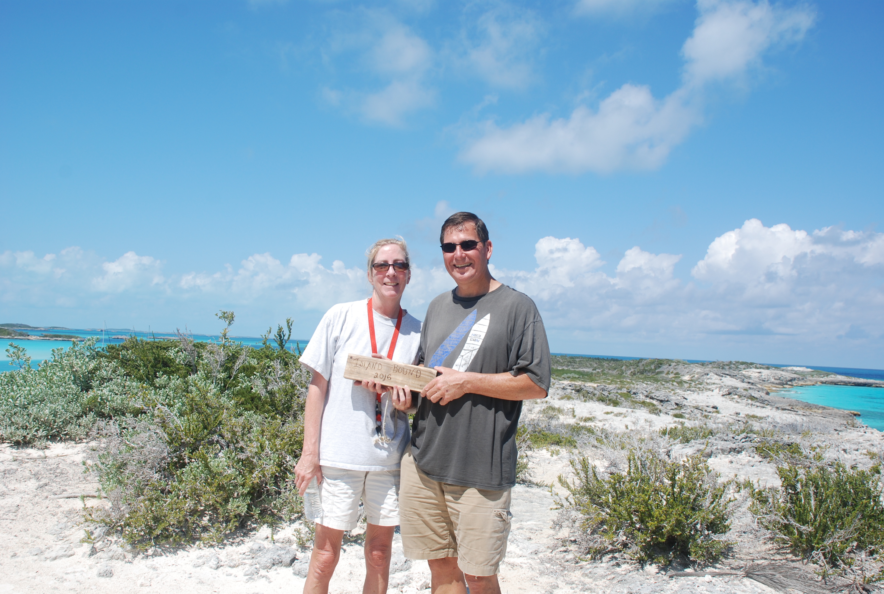
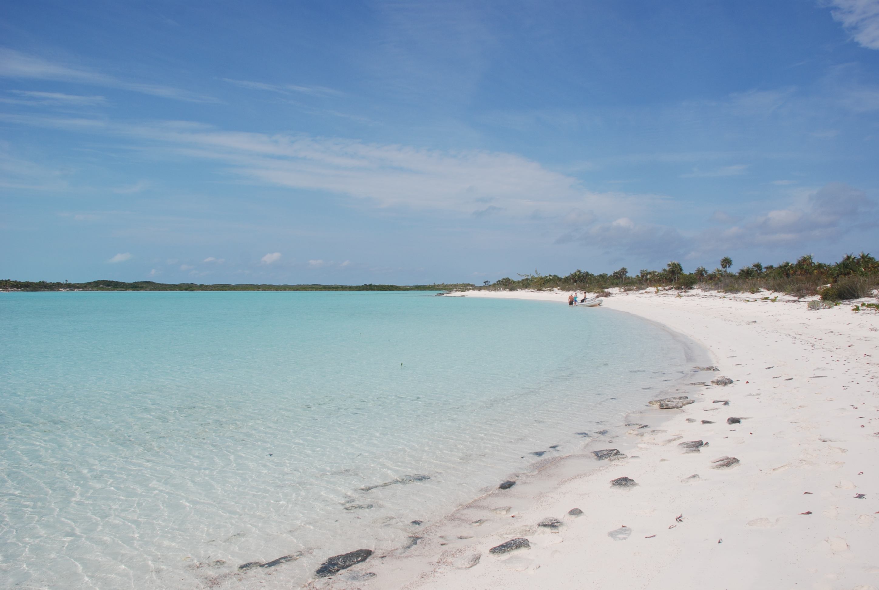
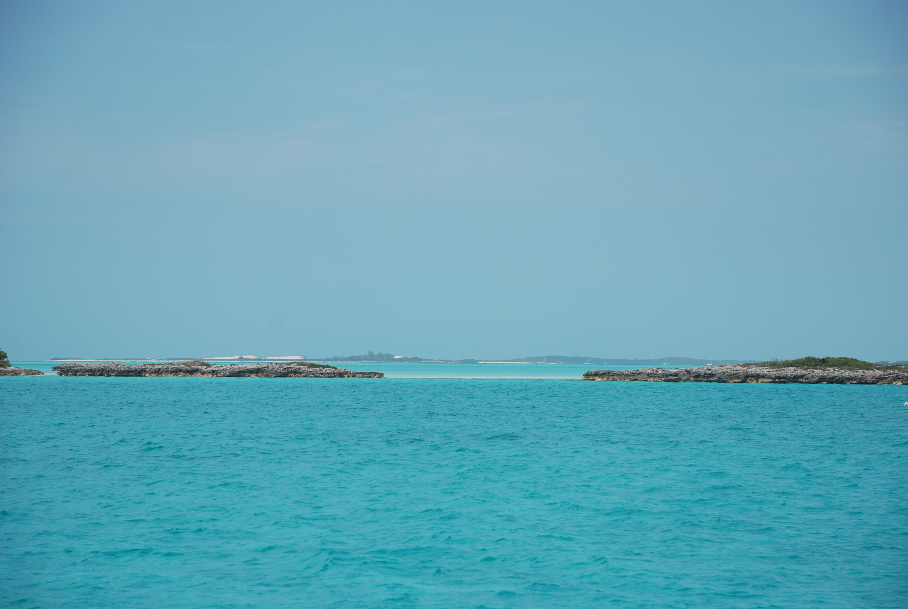
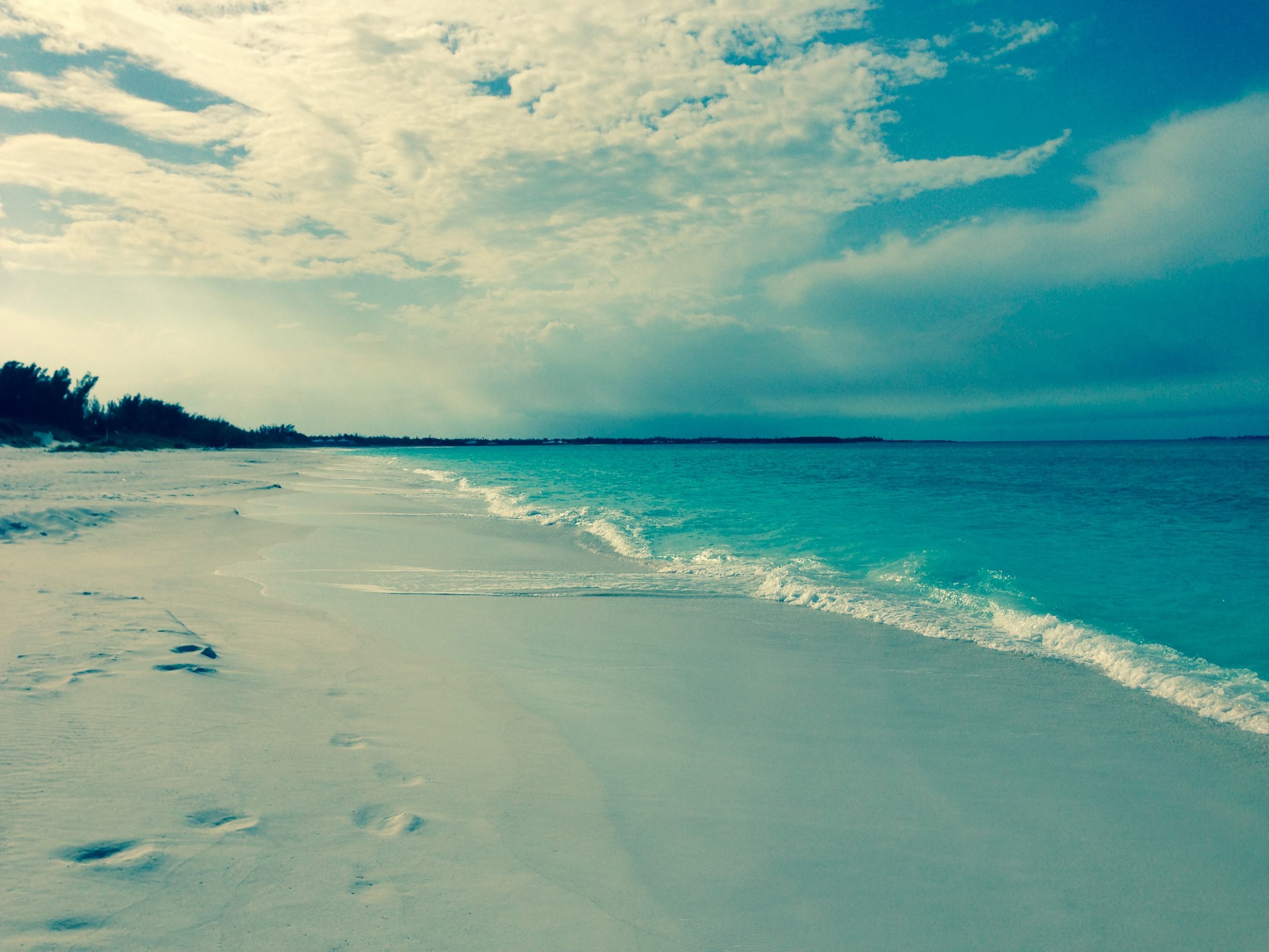
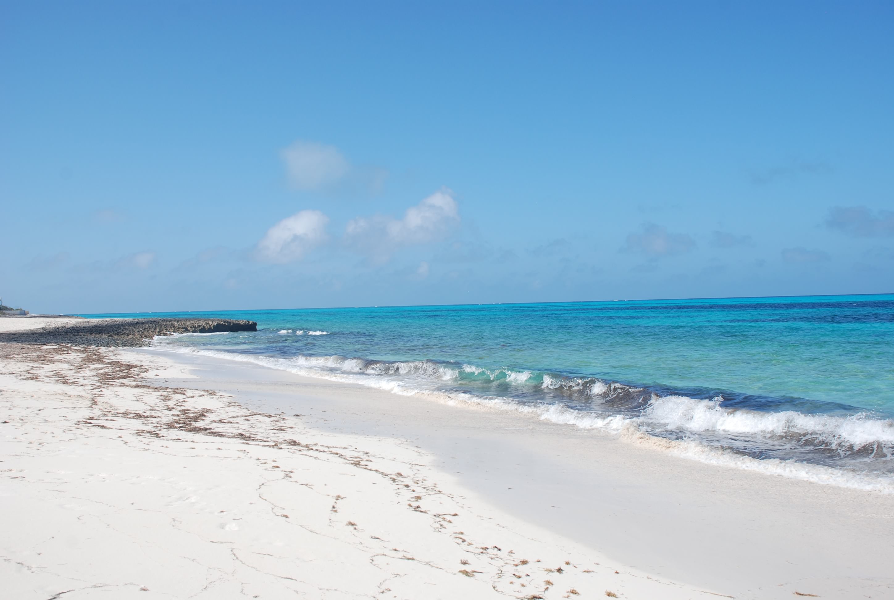
Today, we went ashore and hiked to Boo Boo Beach.
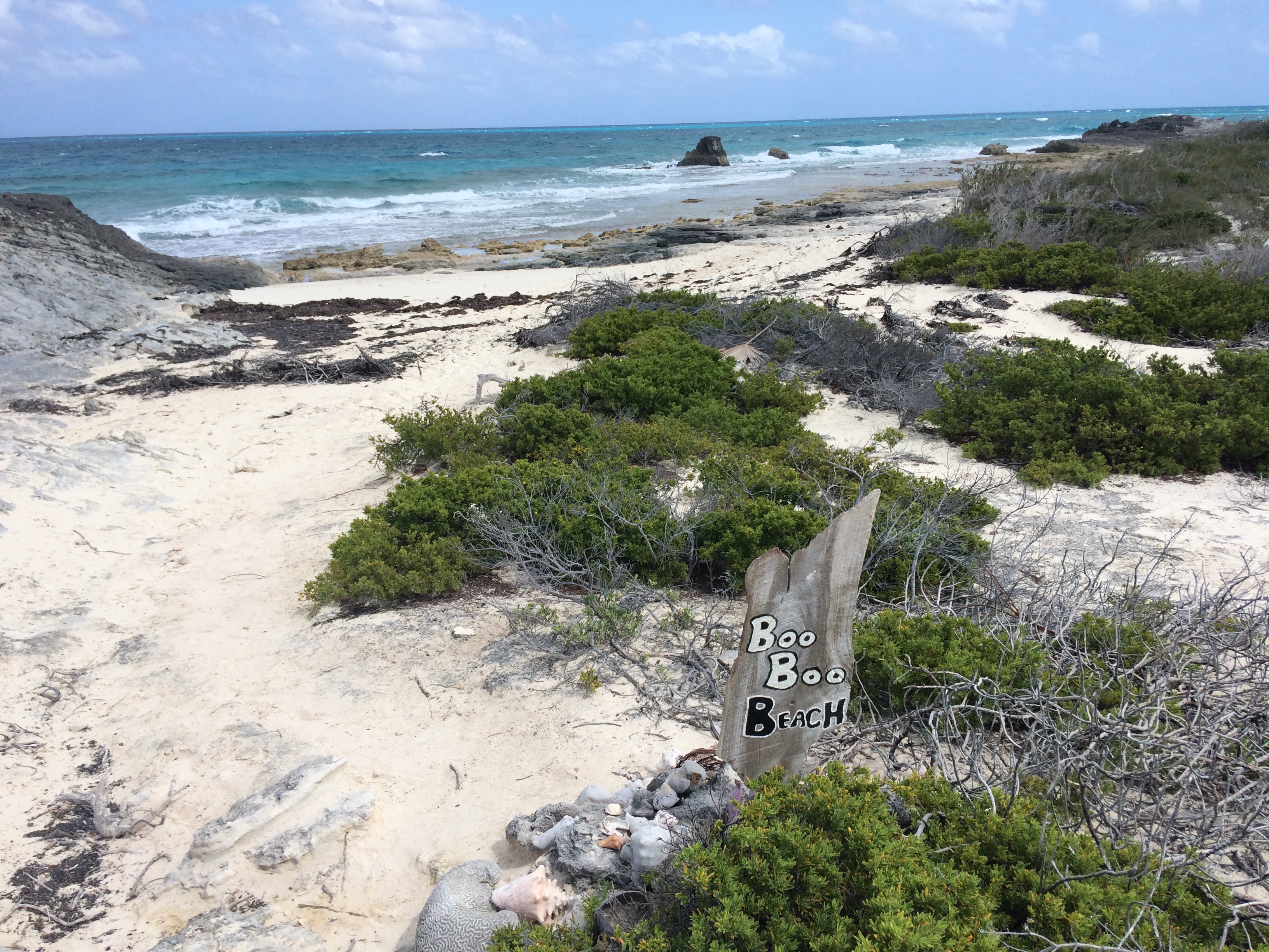
We continue to be amazed by how beautiful this place is. Boo Boo Beach is on the Atlantic/Exuma Sound side of the cay, and we were sadly amazed to see all of the plastic and trash along the beach.
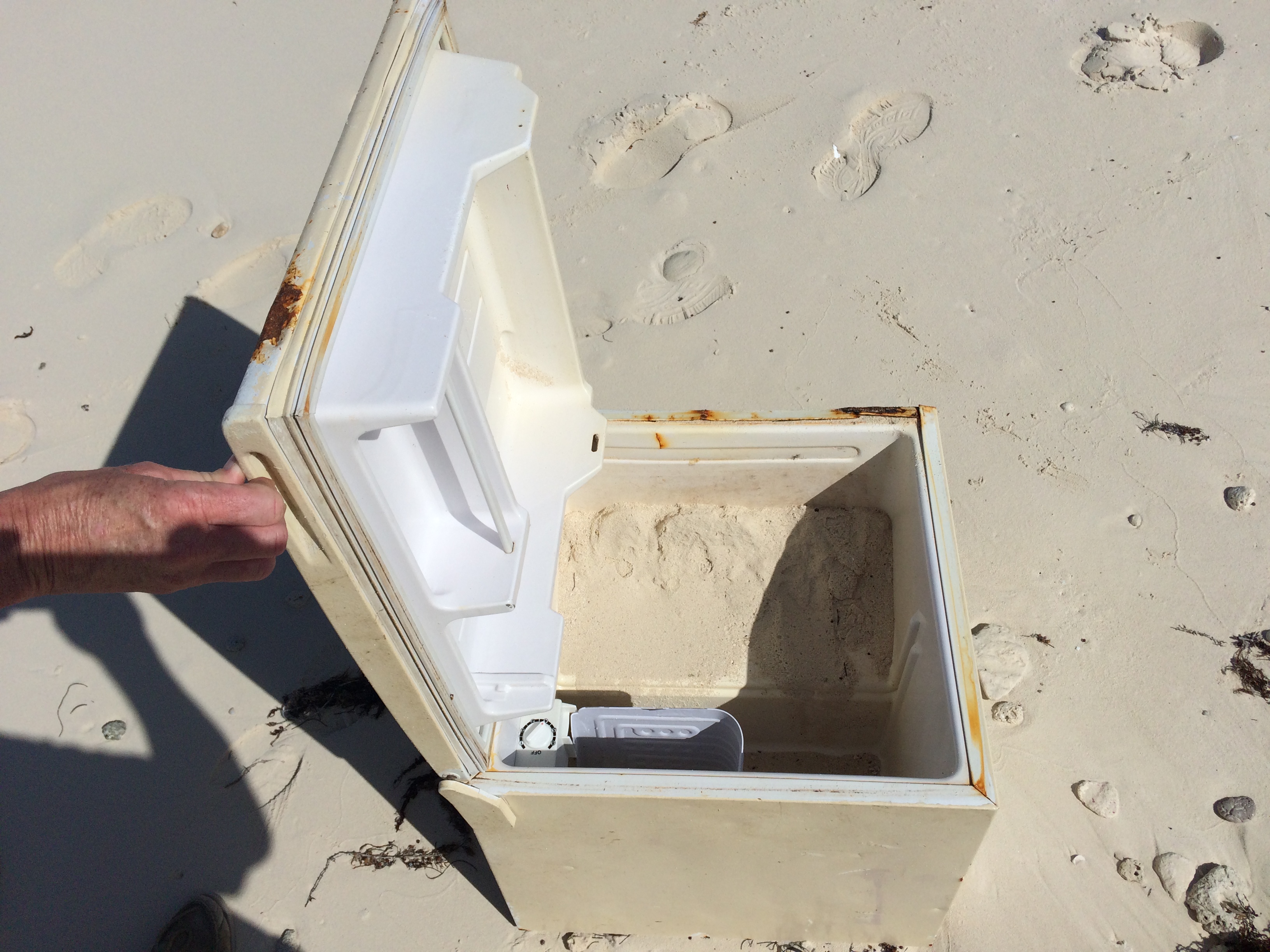
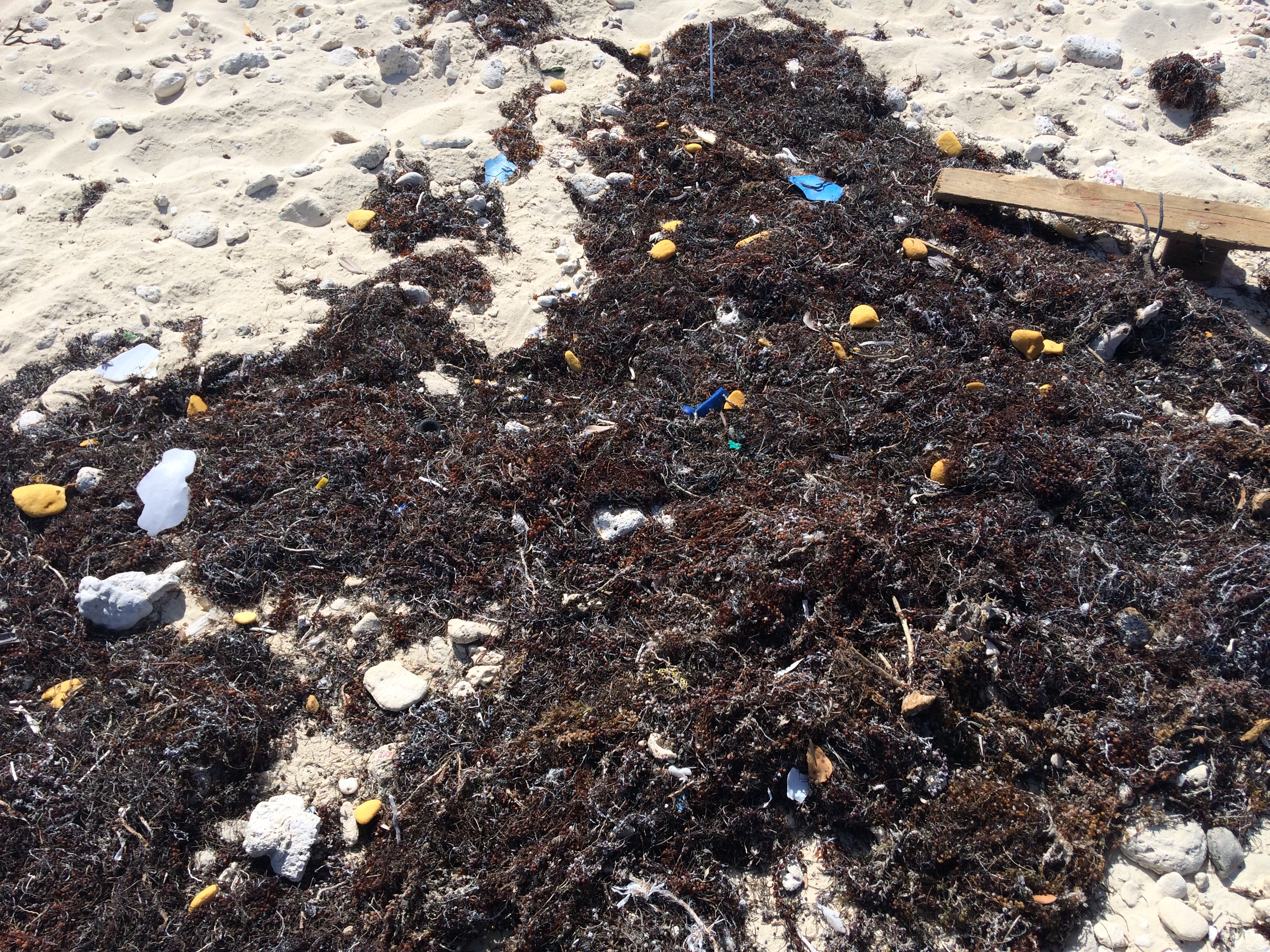
So very sad. It is really nice to just sit and stare at the incredible view, but we are starting to get antsy to move on. Gotta wait for the weather to turn, and the forecast for next week looks really nice. We watched a boat run aground today right in front of the park office. The channel is very narrow here, but there should have been plenty of water where they were. A park office boat came out to try and tow them off, and for some reason the stuck boat gave them their anchor and anchor chain to tow them. Now, I am not the authority on this, but I would never have my boat towed by the anchor chain. Maybe they didn’t have a long enough rope line…not sure…but the towing was to no avail. They had to wait out the tide. I was close to issuing an Ass Captain award for that one.