3/17/16
Georgetown, Exumas, Bahamas
Position: 23 31.095N, 075 45.550W
Posted by Bill
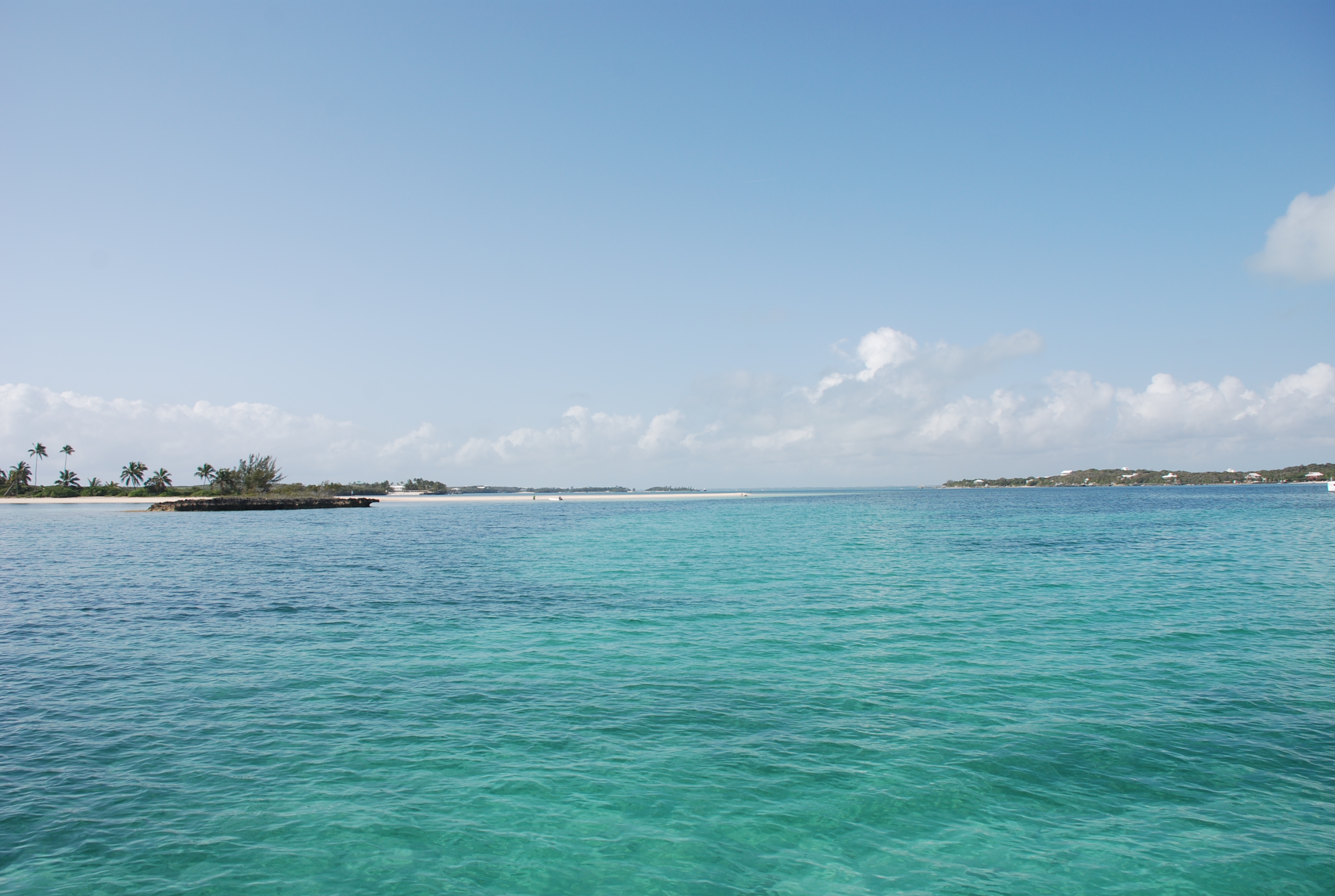
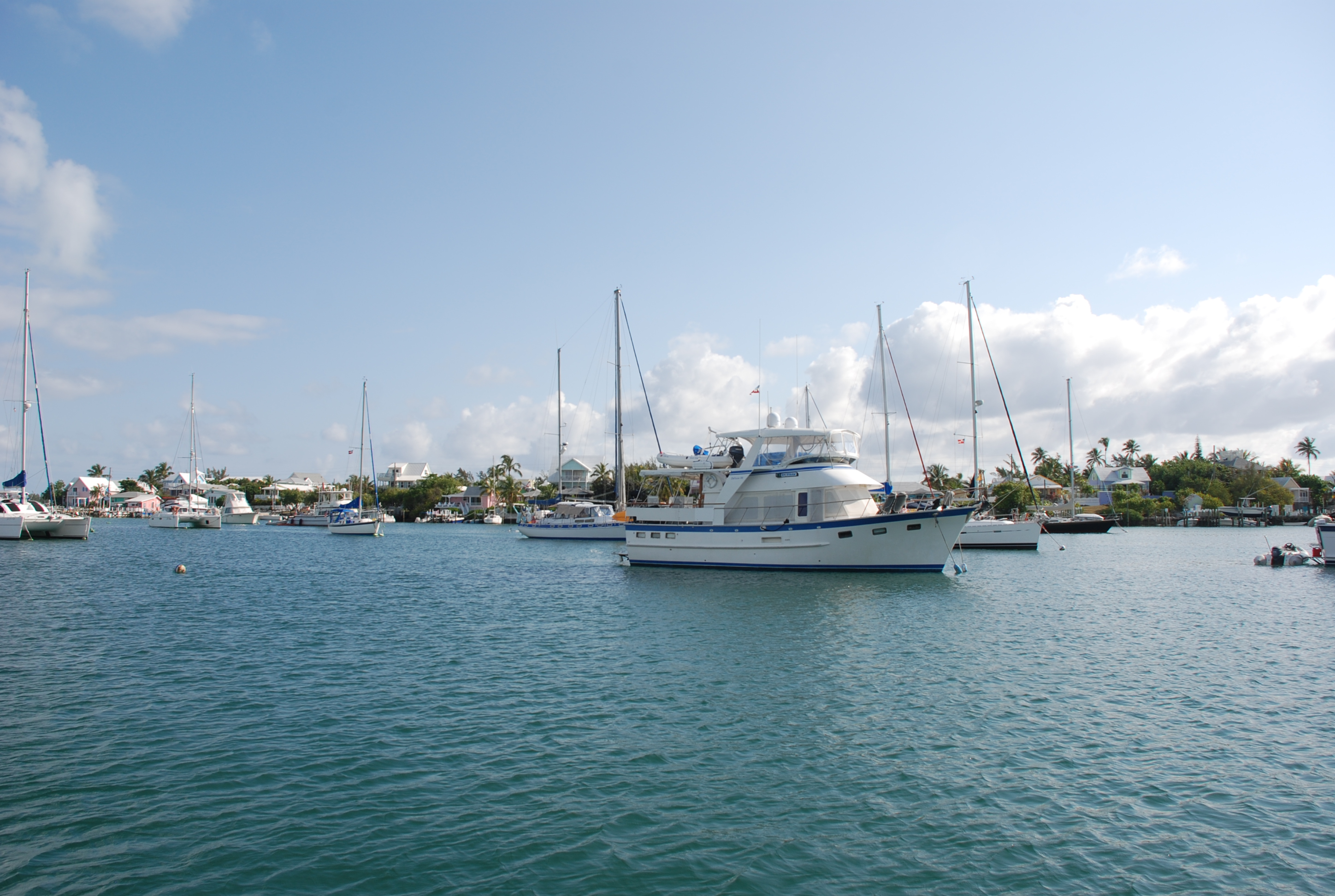
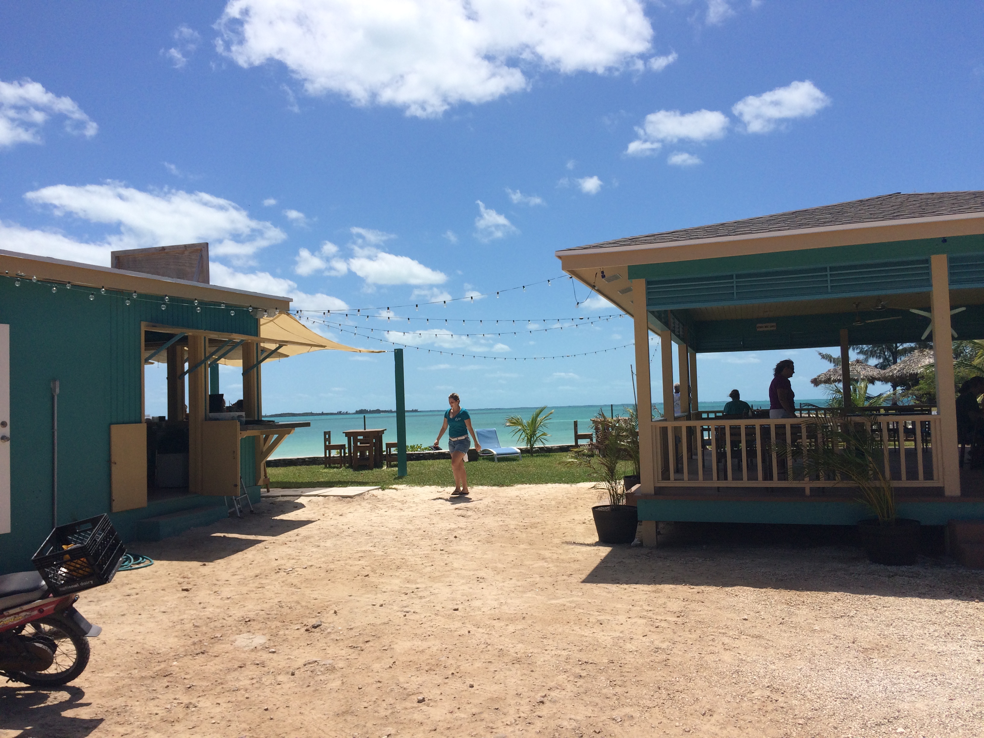
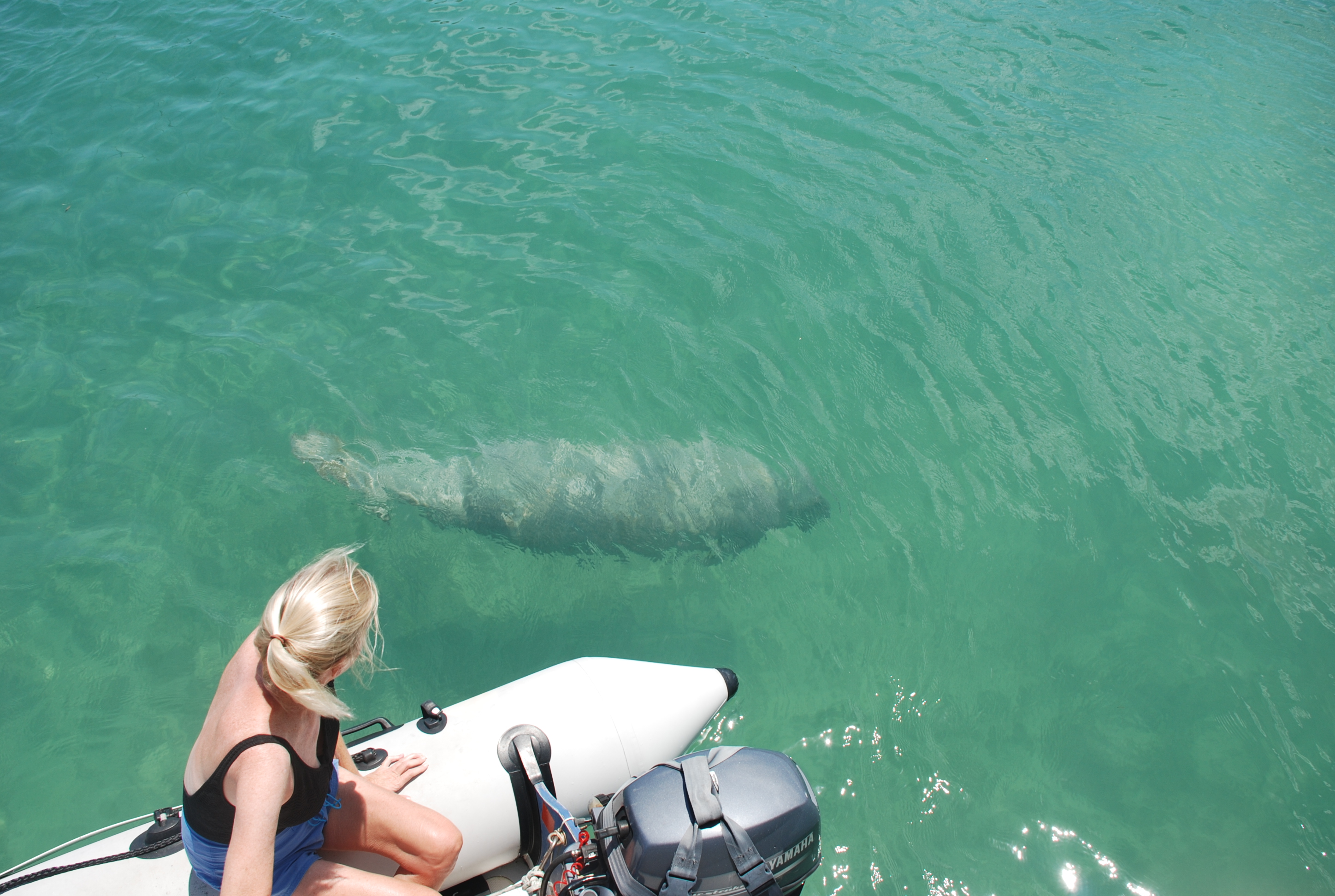
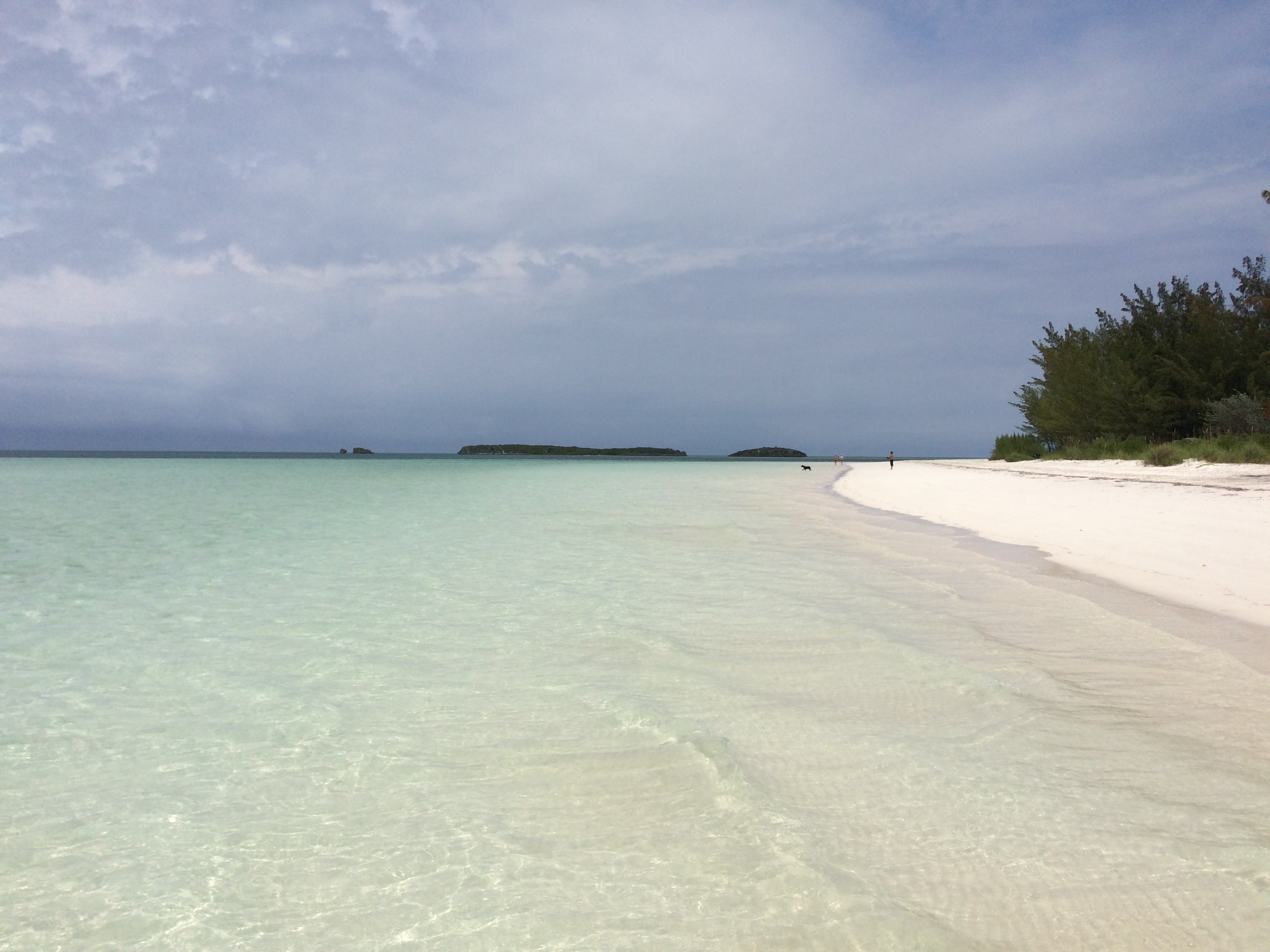
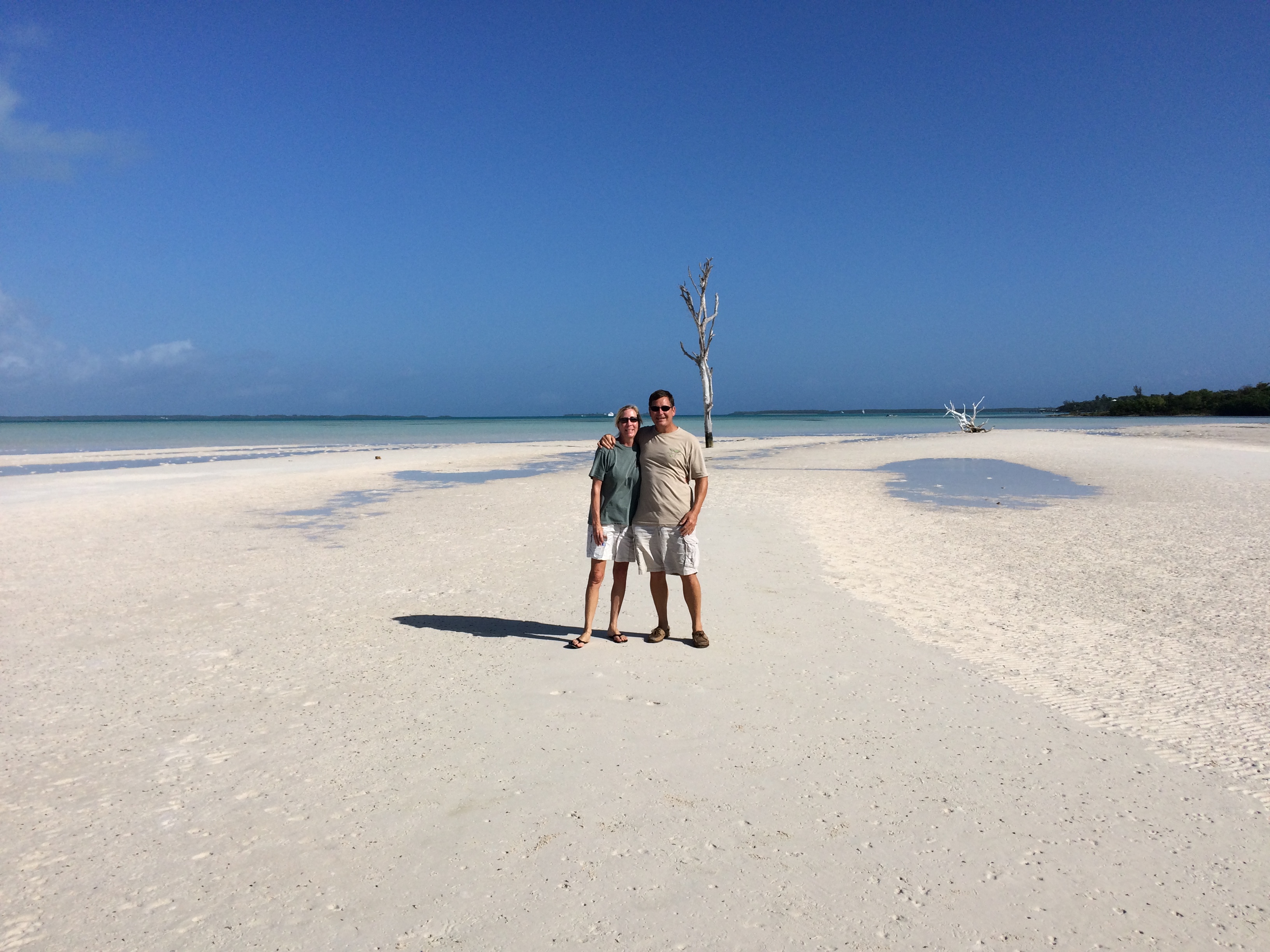
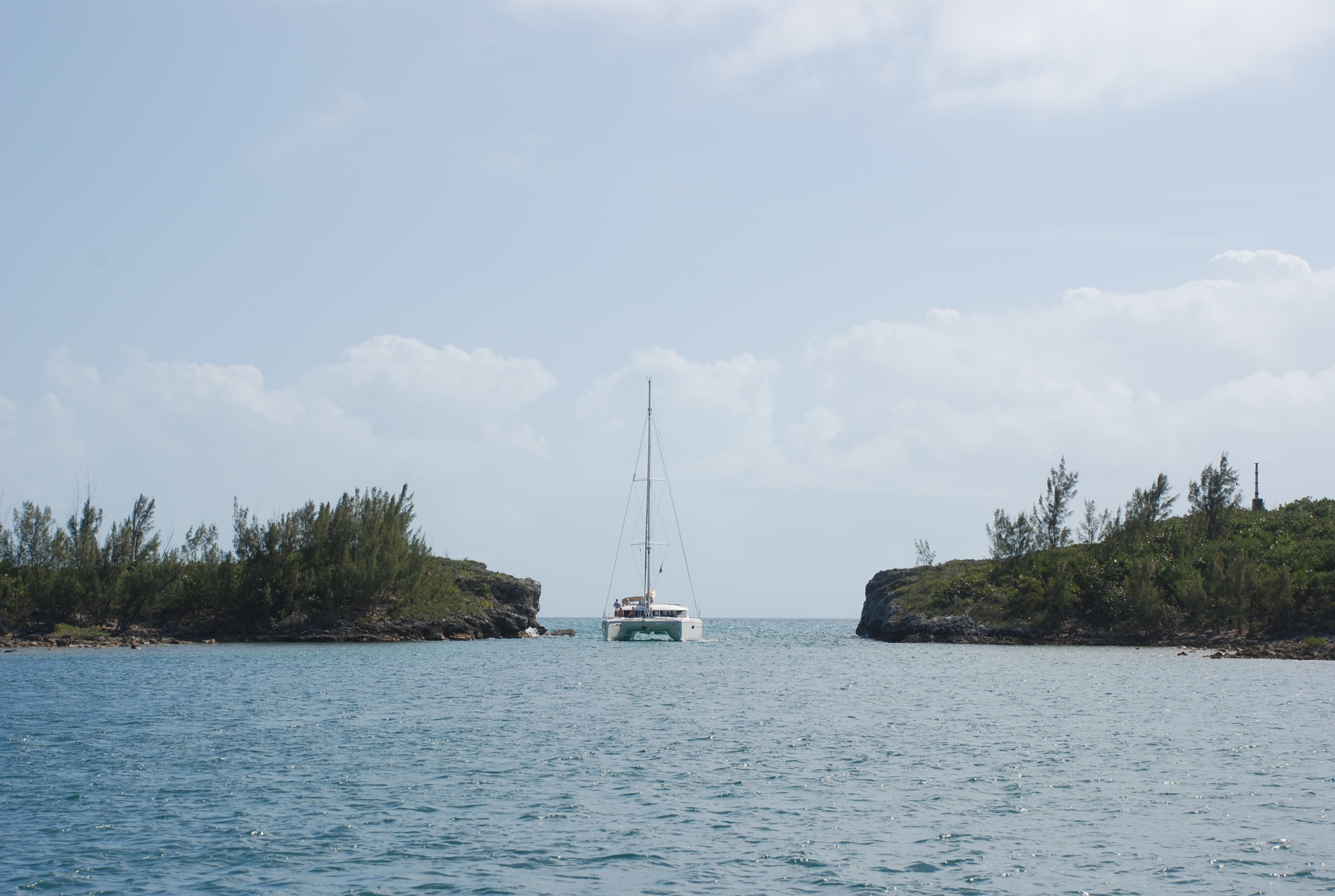
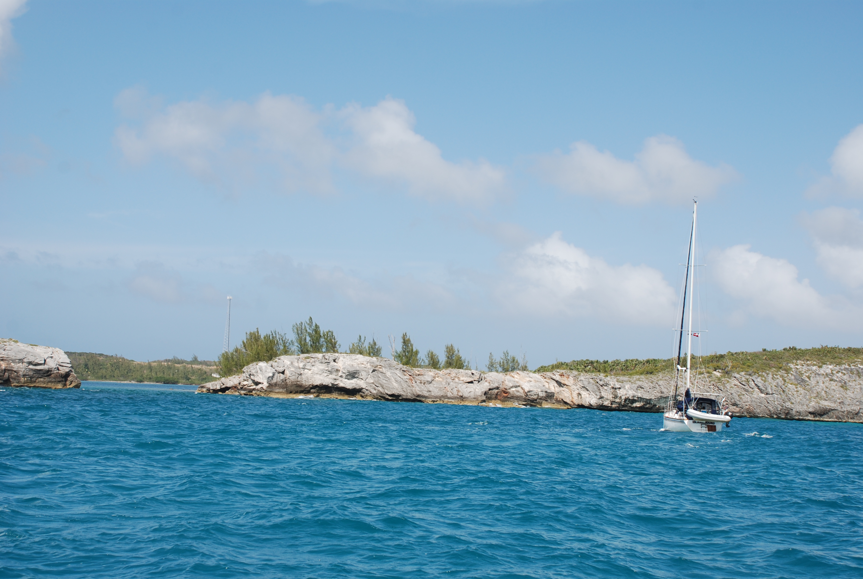
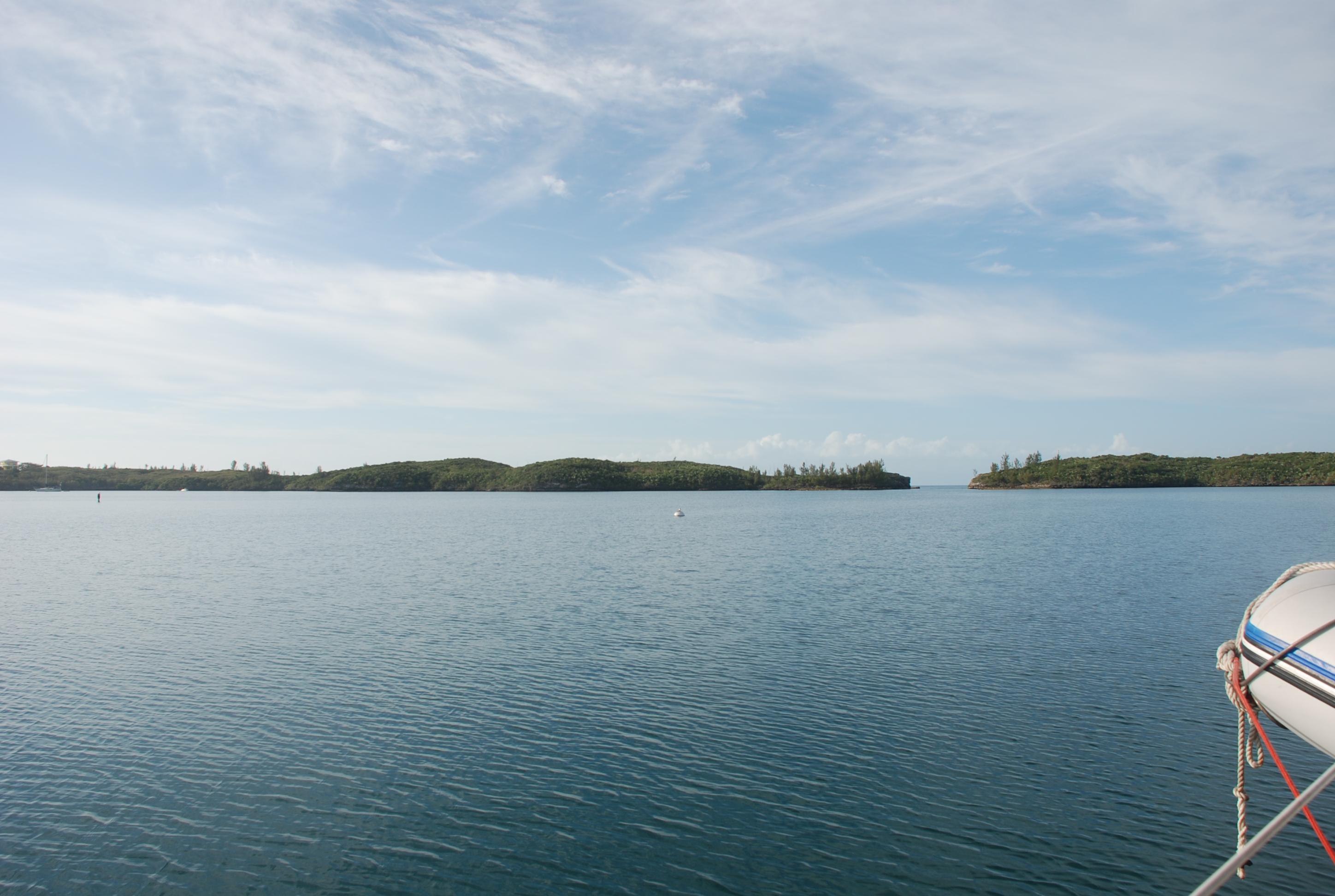
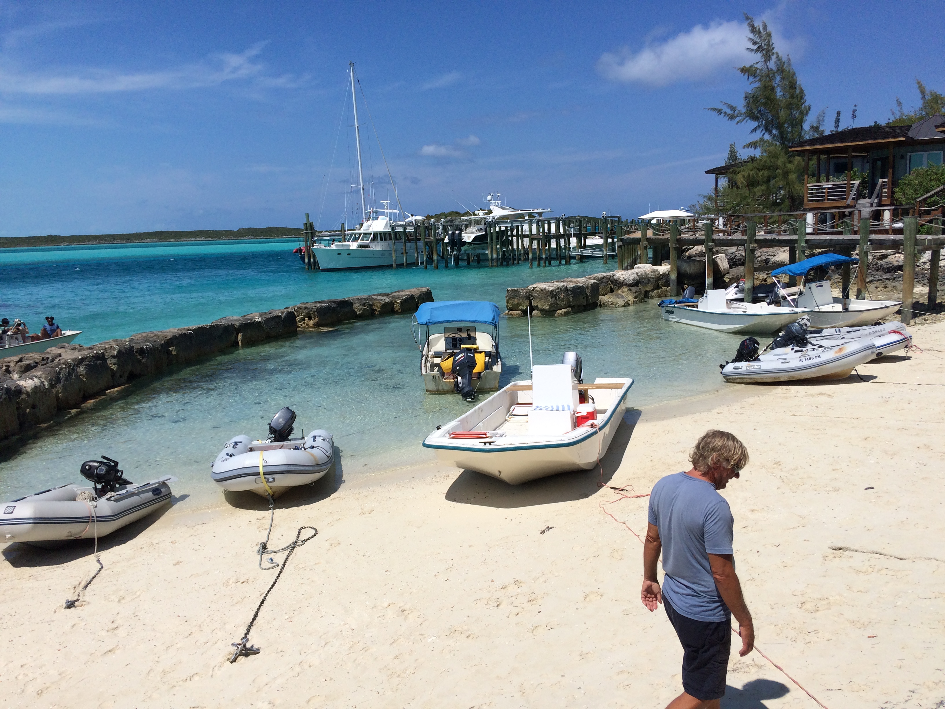
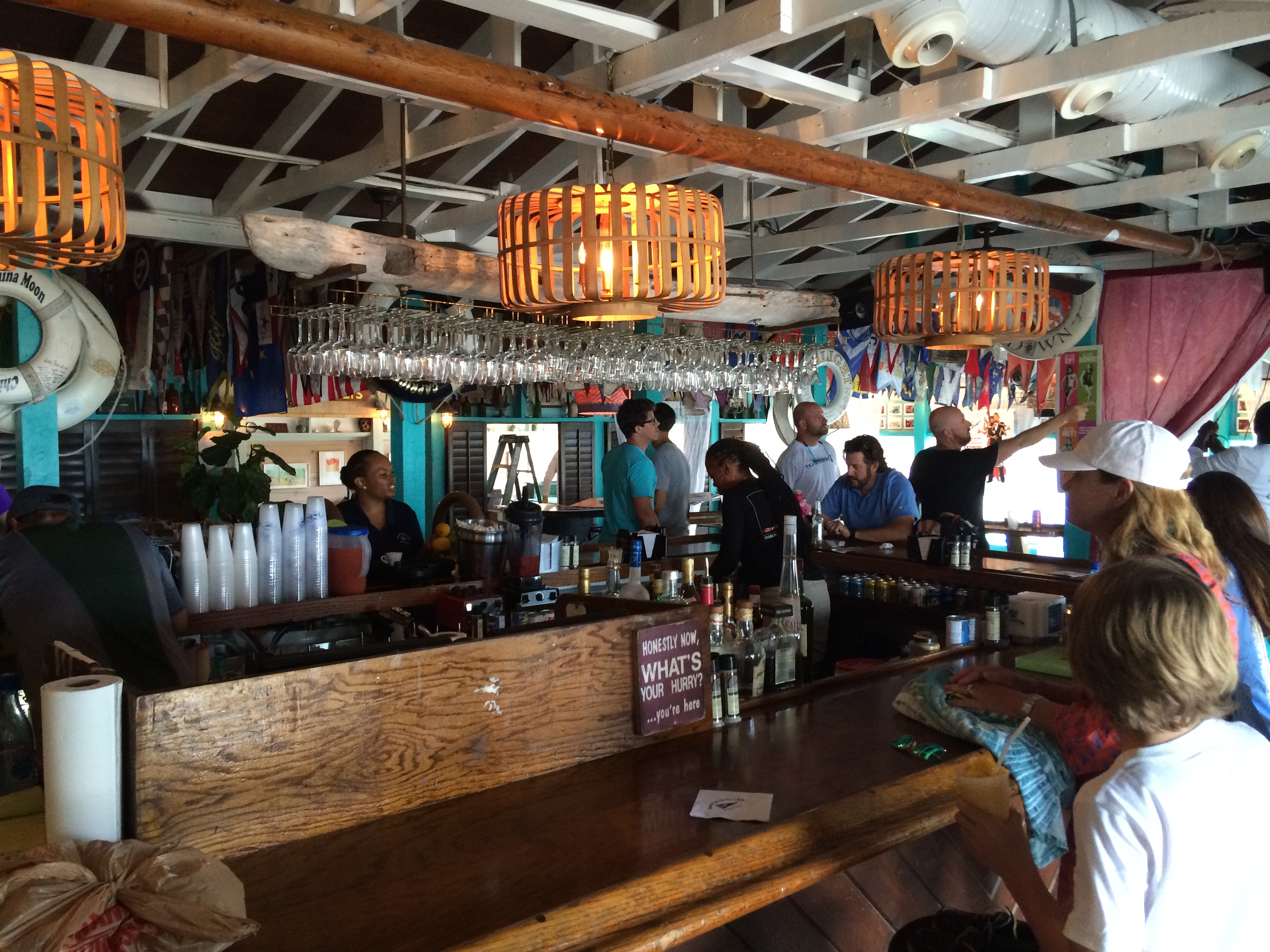
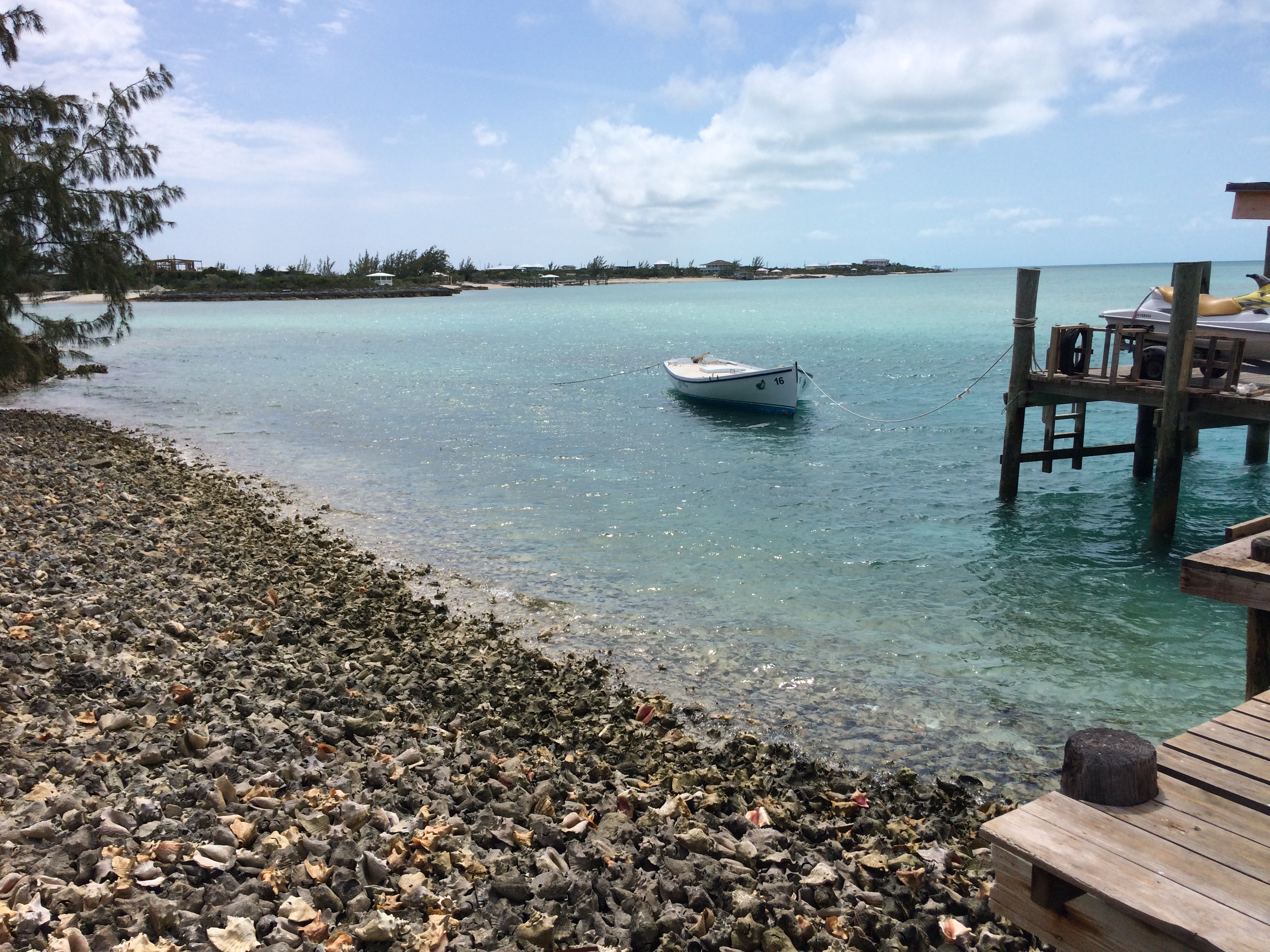
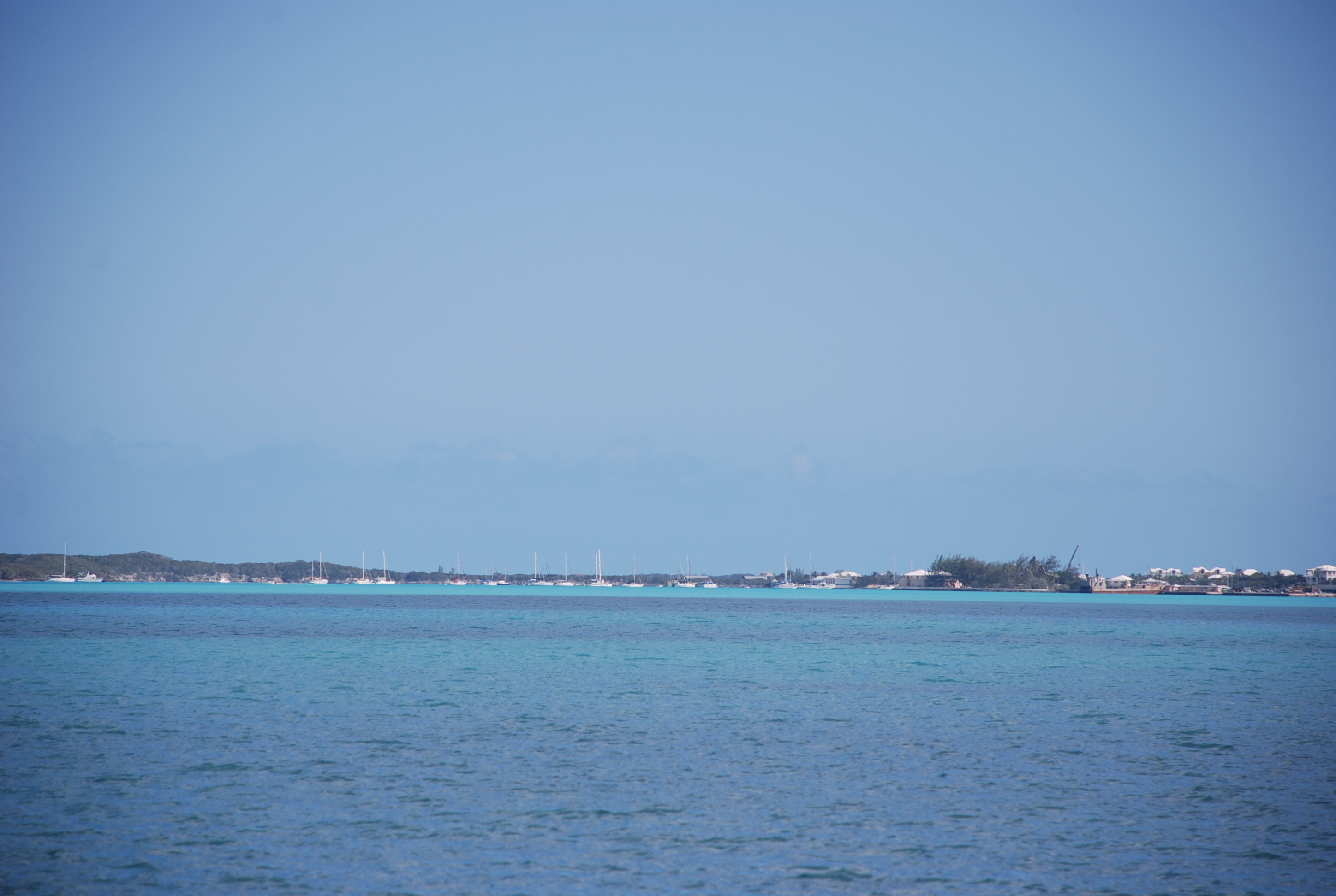
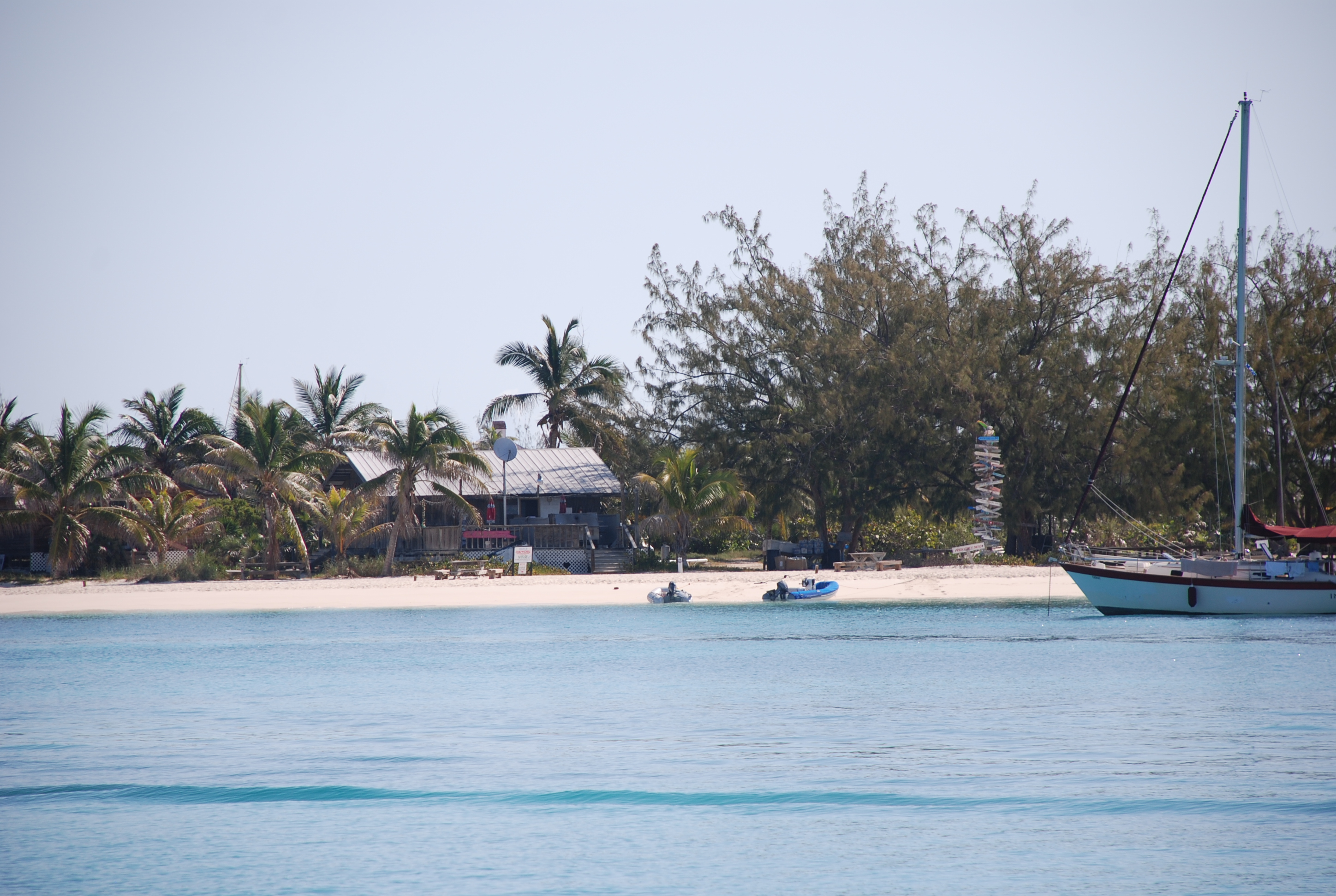
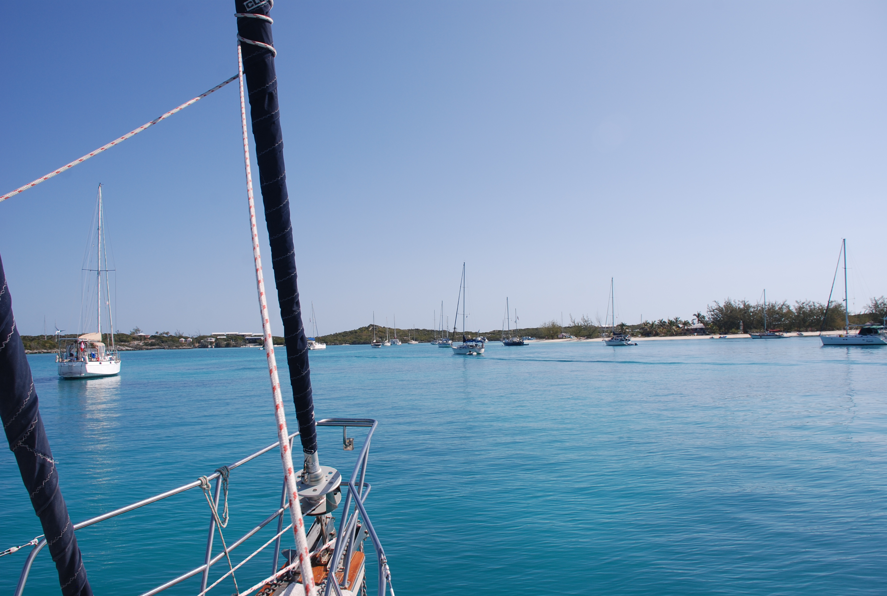
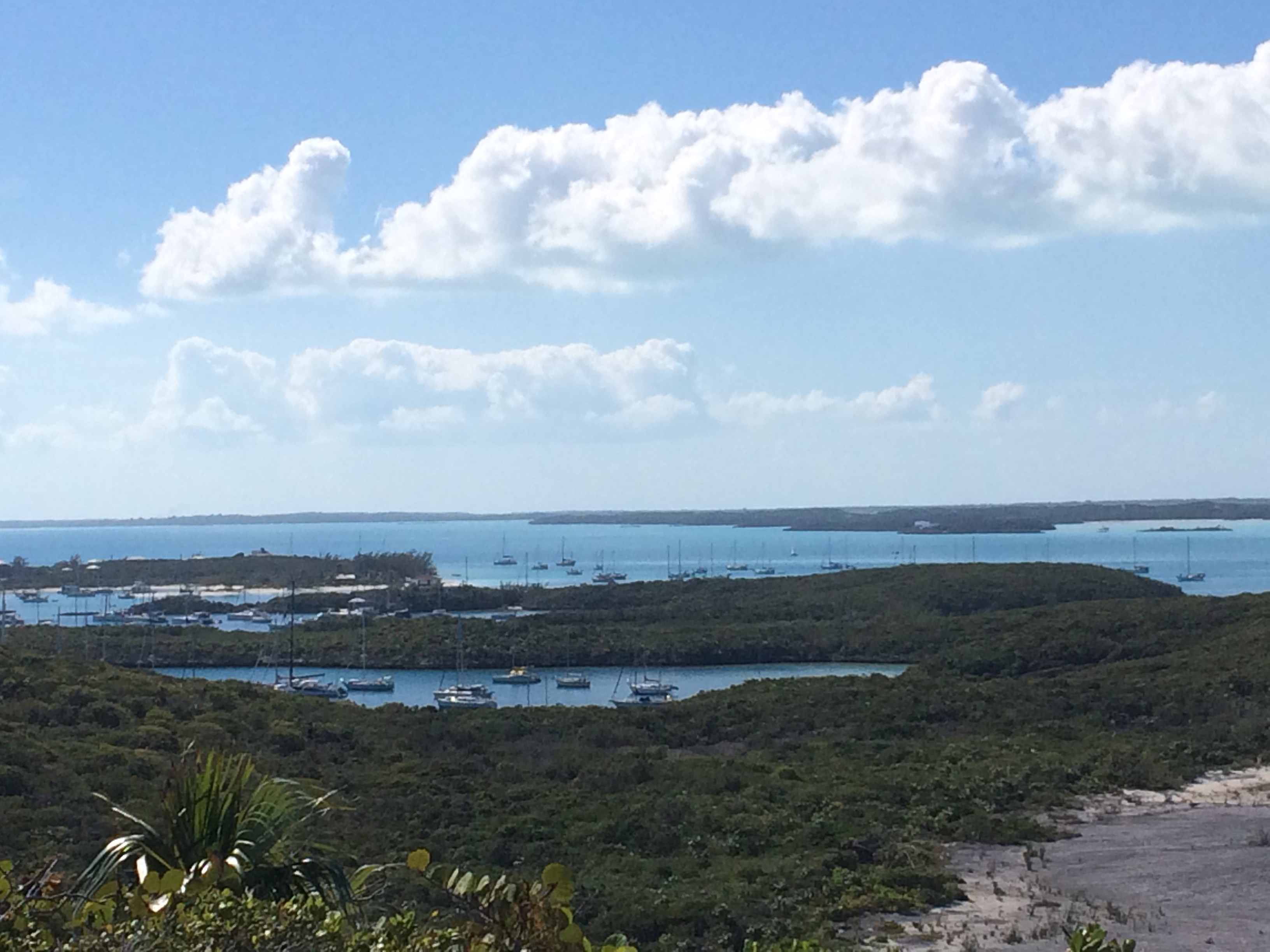
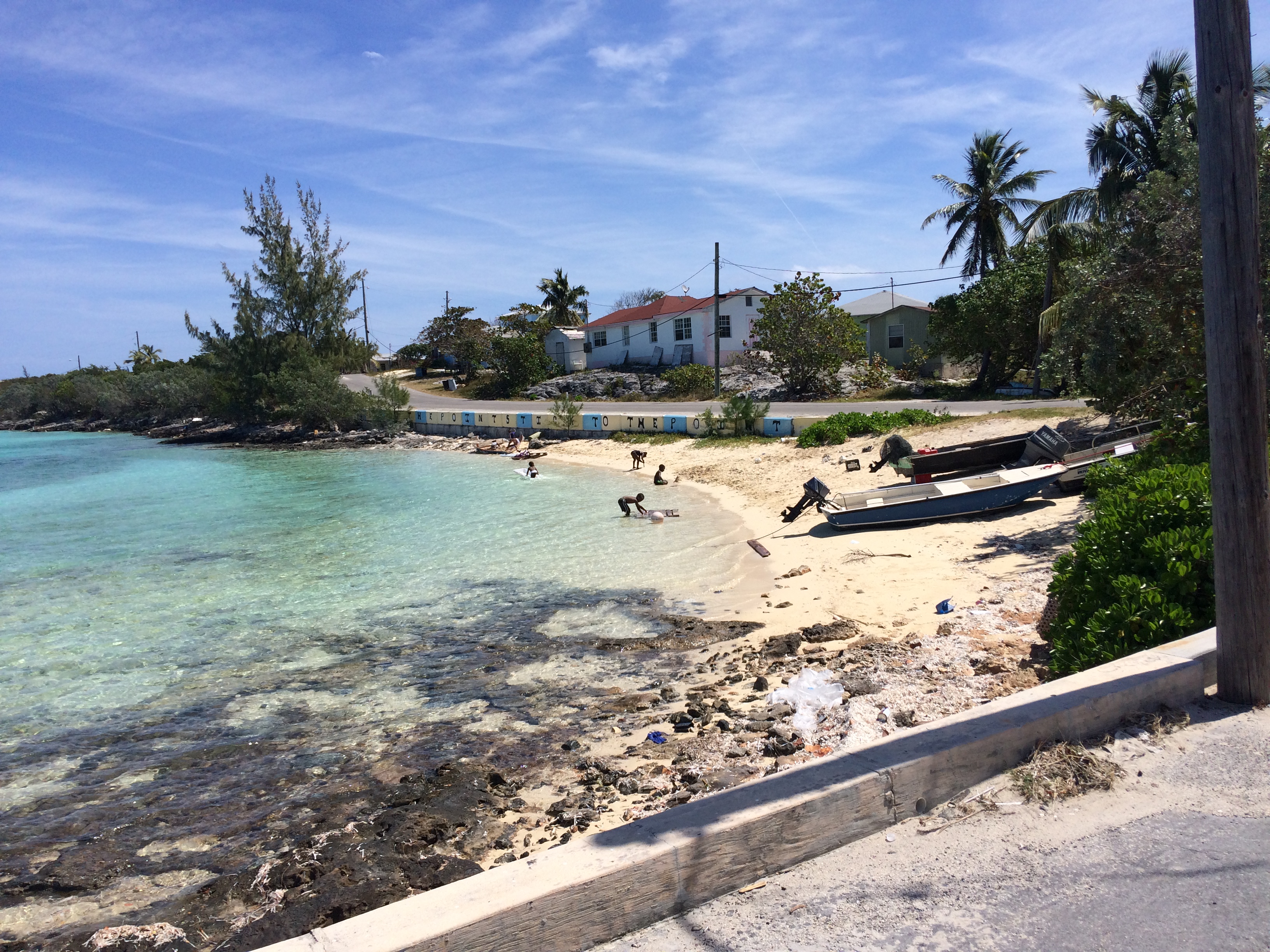
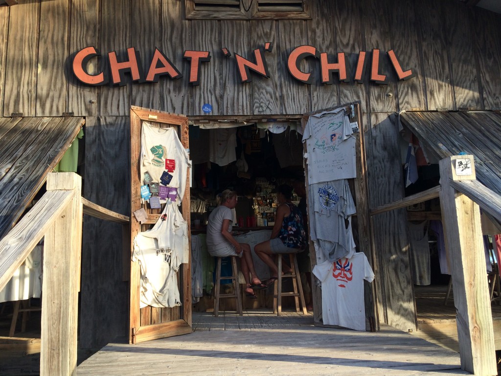
We departed Black Point on 3/14/16, just before dawn, sailed the Exuma Sound (ocean passage), and arrived at Elizabeth Harbor between Stocking Island and Great Exuma Island at around 4:30. The passage was a bit rolly with easterly swells on the beam, but the winds were light and it was a nice day. We anchored off of what is known as Volleyball Beach. It is on the Stocking Island side of the sound, and there is a well known bar there called the Chat and Chill. This Georgetown area is a cruisers haven. There are over 100 boats anchored somewhere around the sound within a mile of Georgetown, on Great Exuma. Some people stay here all winter, some from November to May, so there is a bit of organized event planning for all of the cruisers that need something to do. There is yoga every day in the morning, volleyball every day at 2 PM, and all kinds of get-togethers like poker, etc… This is way too much of a schedule for us, and we really only wanted to come here to check it out, and to get some provisions and fuel. After we arrived, we hit the Chat and Chill. Classic dump dive bar on a beach with good, but overpriced, rum drinks. The next day, we made a run across the harbor to Georgetown, about a mile or a little more from our anchorage. The water was pretty calm, and we cranked up the engine to get us on plane. About half the way there, I noticed that the dinghy was leaking pretty badly. We pulled into the harbor area at Georgetown and told our friends Mark and Jan that we needed to go back immediately, and figure out how to patch it up. We headed out, bailing out water as we went, made it back to the boat, grabbed repair supplies and tools, and headed for Volleyball Beach at the Chat and Chill. We beached the dinghy, devised a repair strategy, and went to work. Applying a strategic patch, we headed to the bar while the glue dried. Mark and Jan caught up with us and we enjoyed a few Goombay Smashes. We tested the patch, which was successful, only a minor drip of a leak again, and because the service was so bad at Chat and Chill, headed across the way to another bar to have dinner and more drinks.
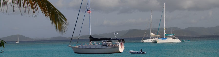
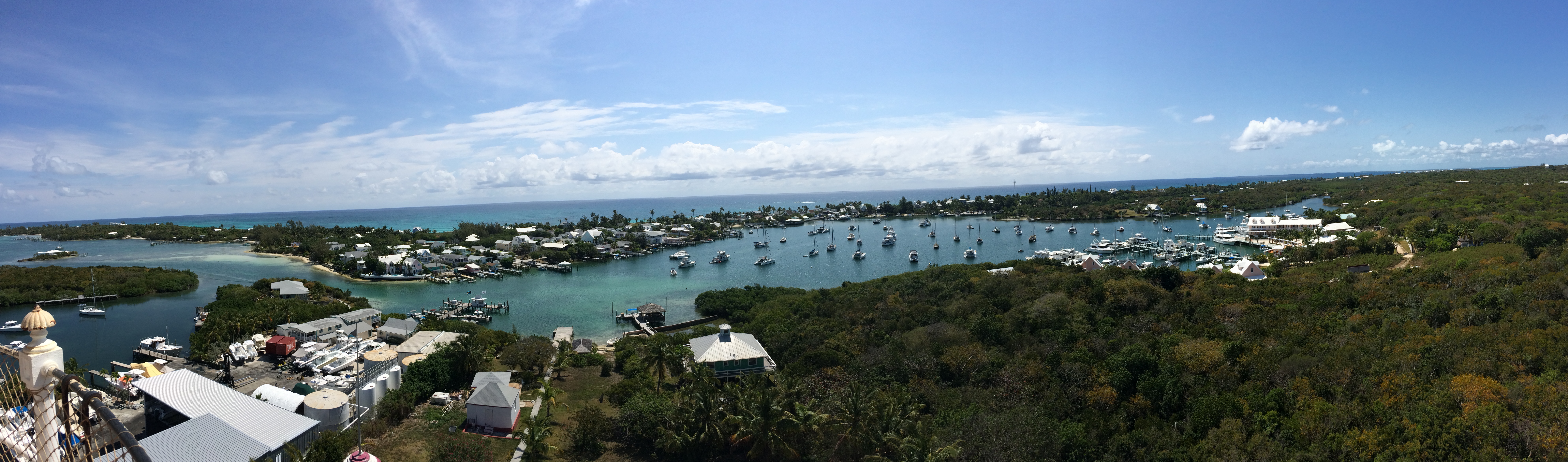
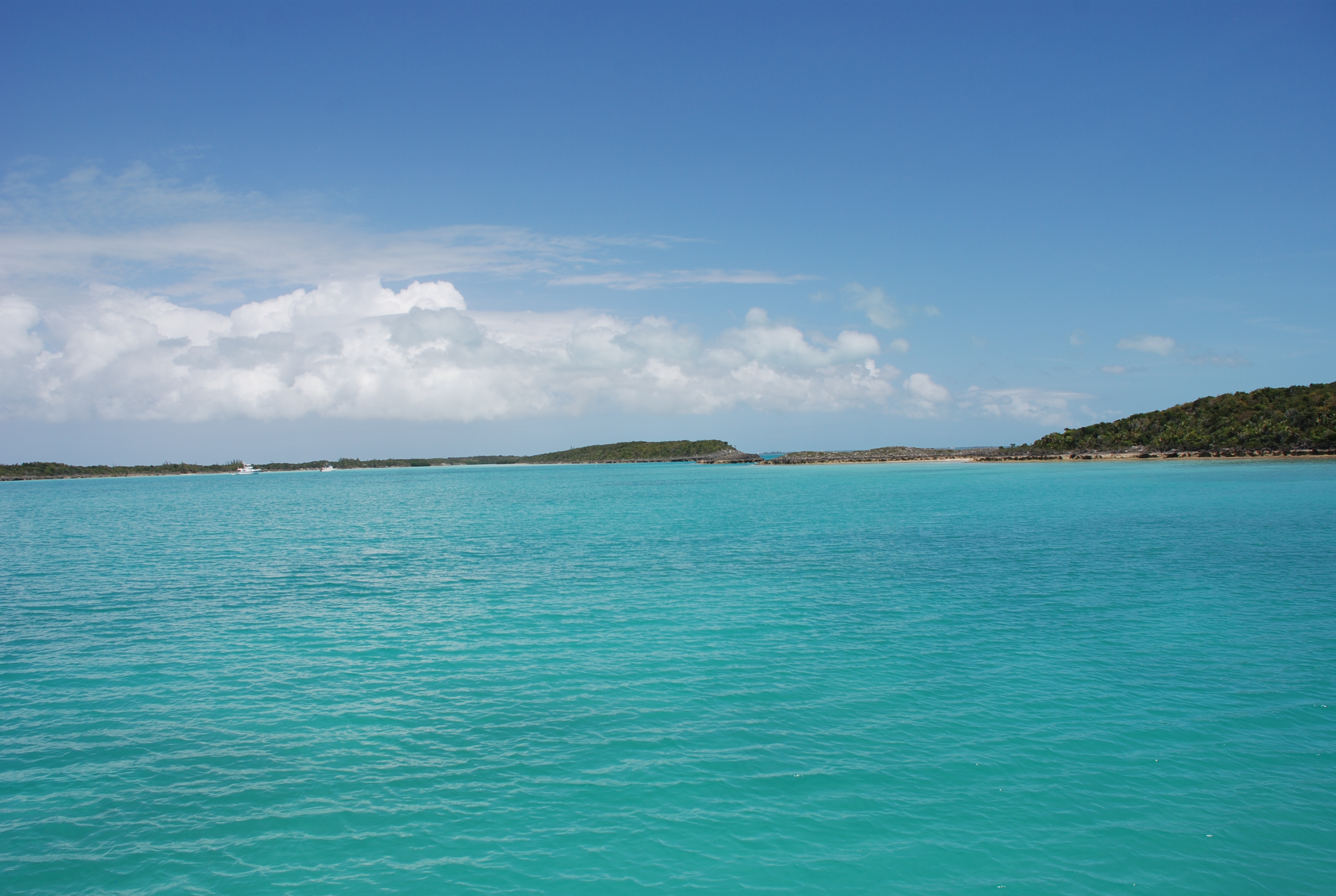
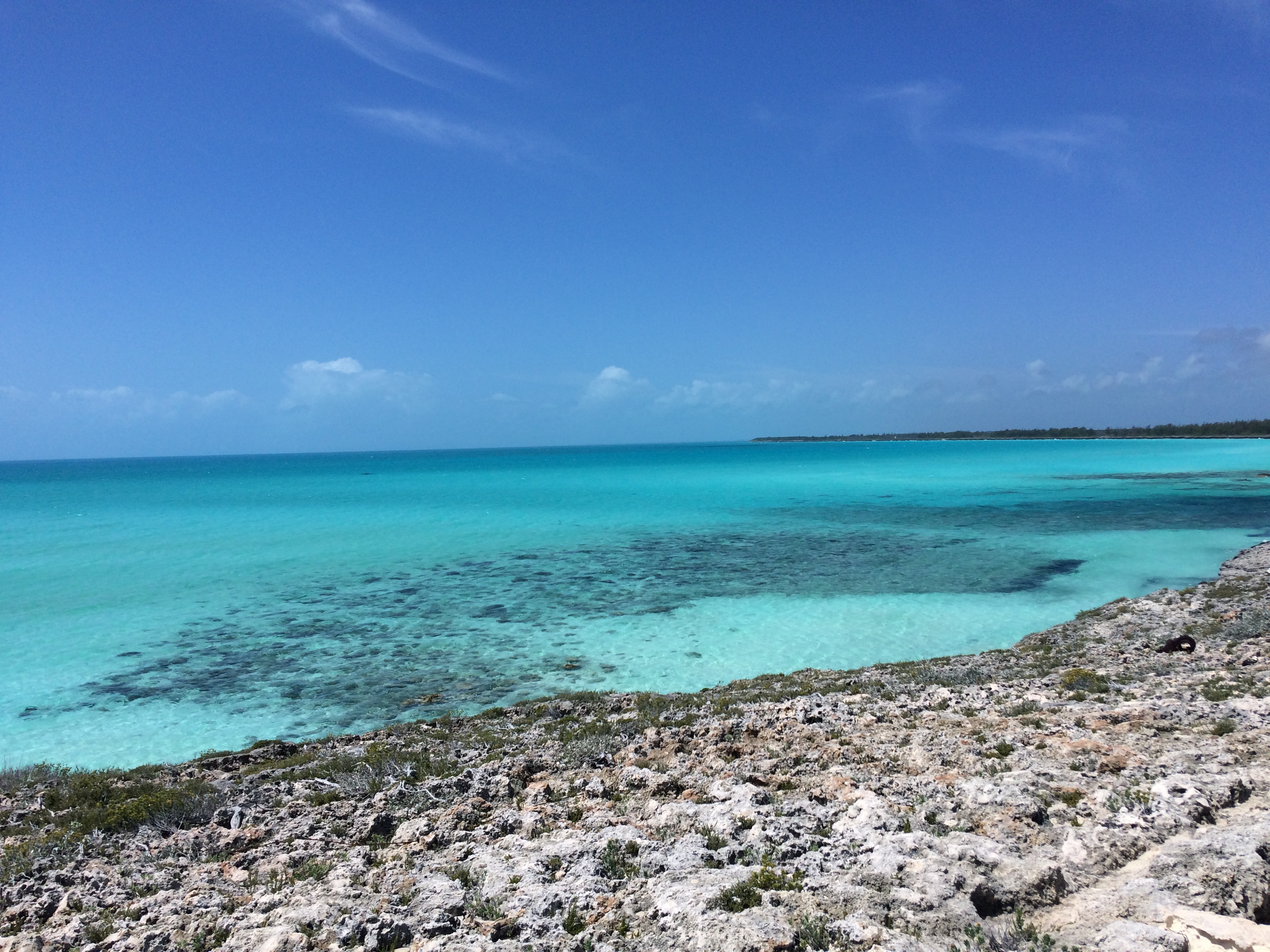
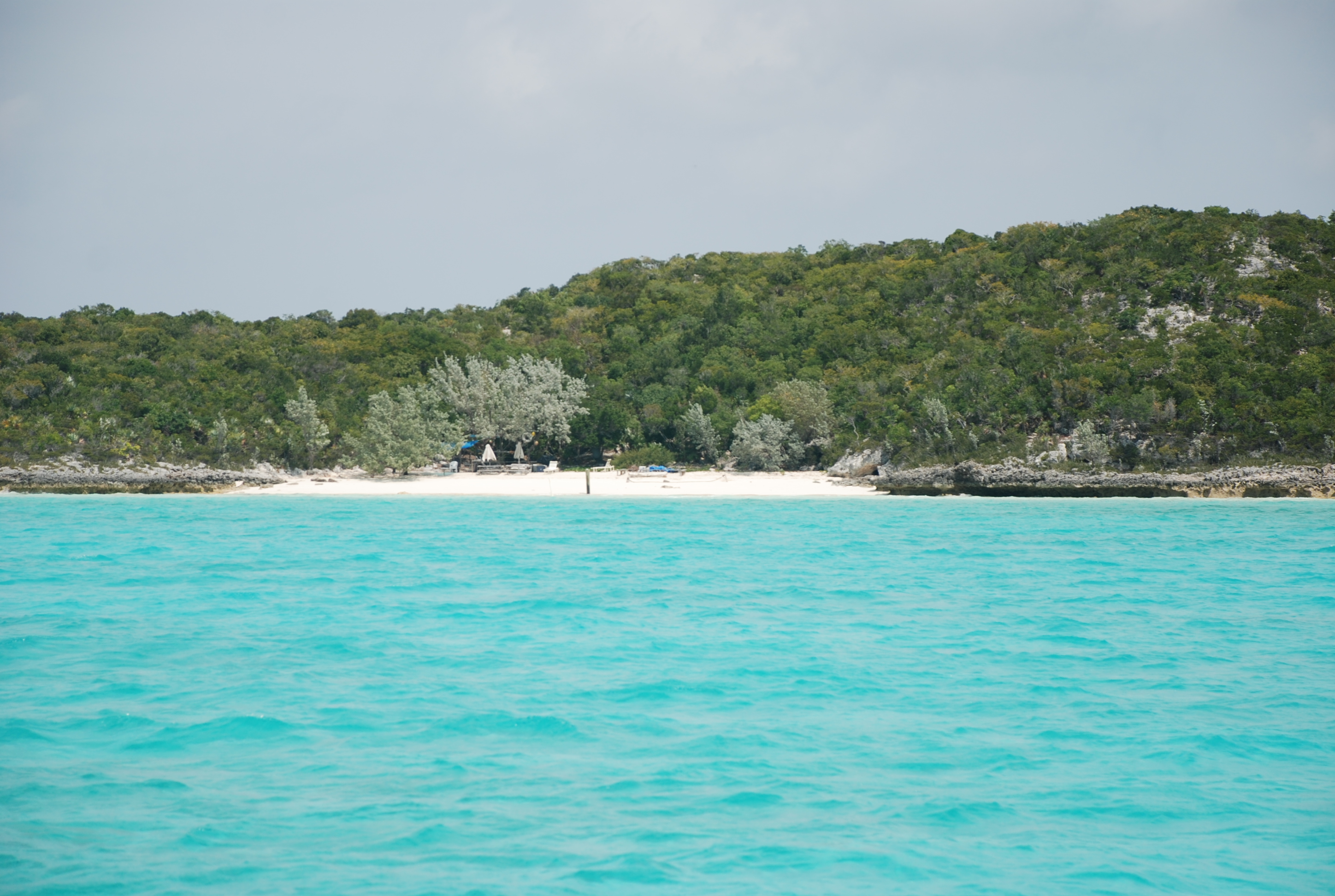
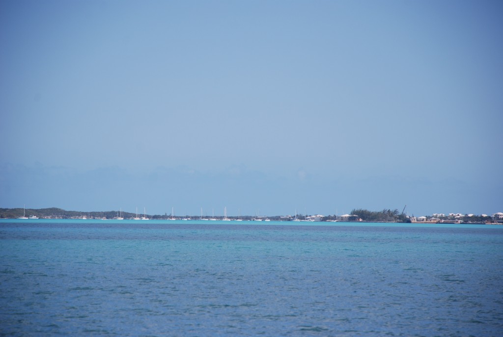
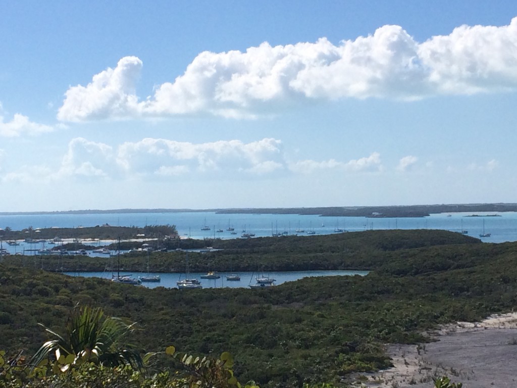
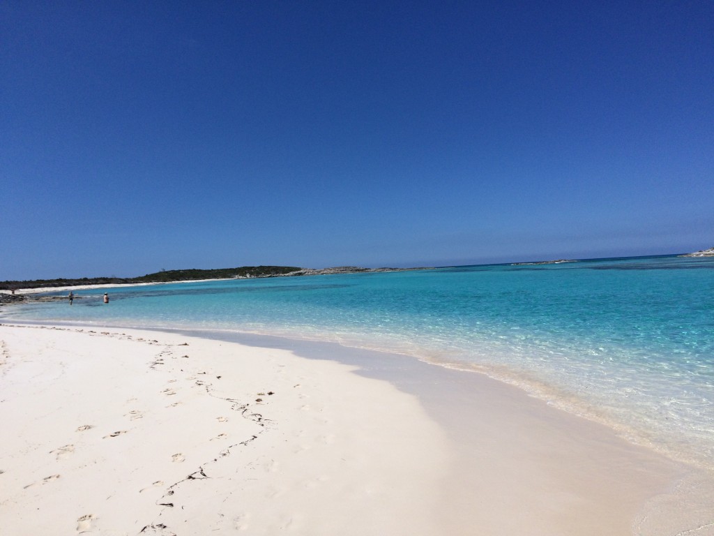
Coming into the Georgetown area:
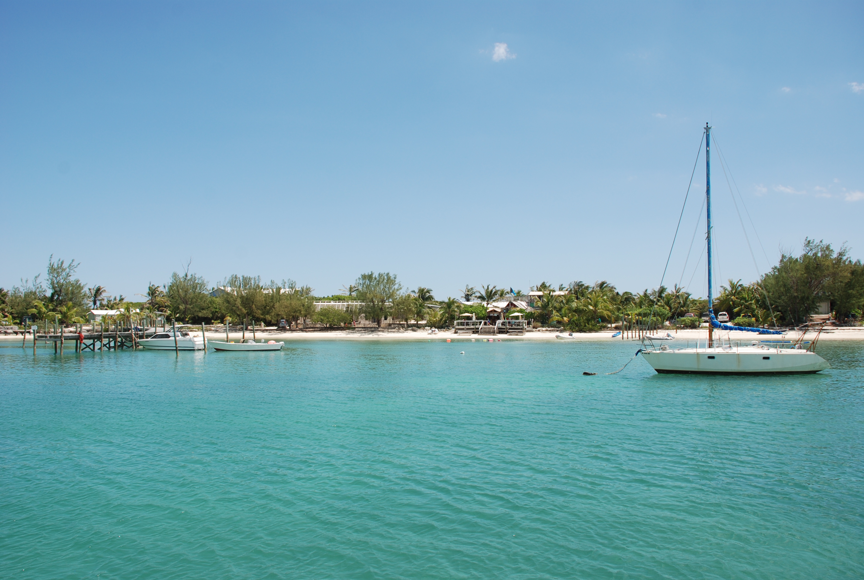
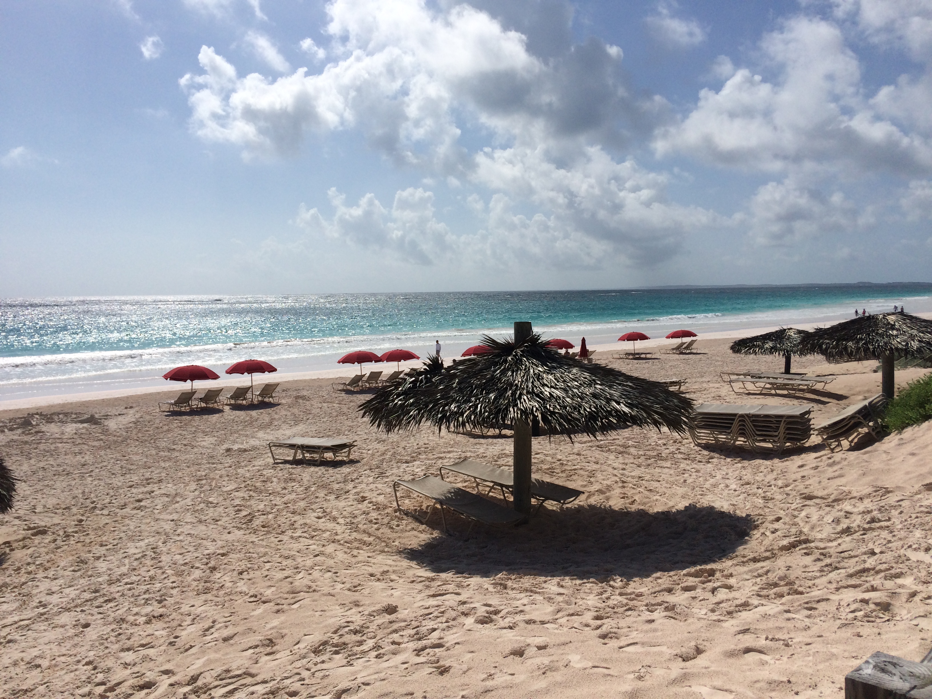
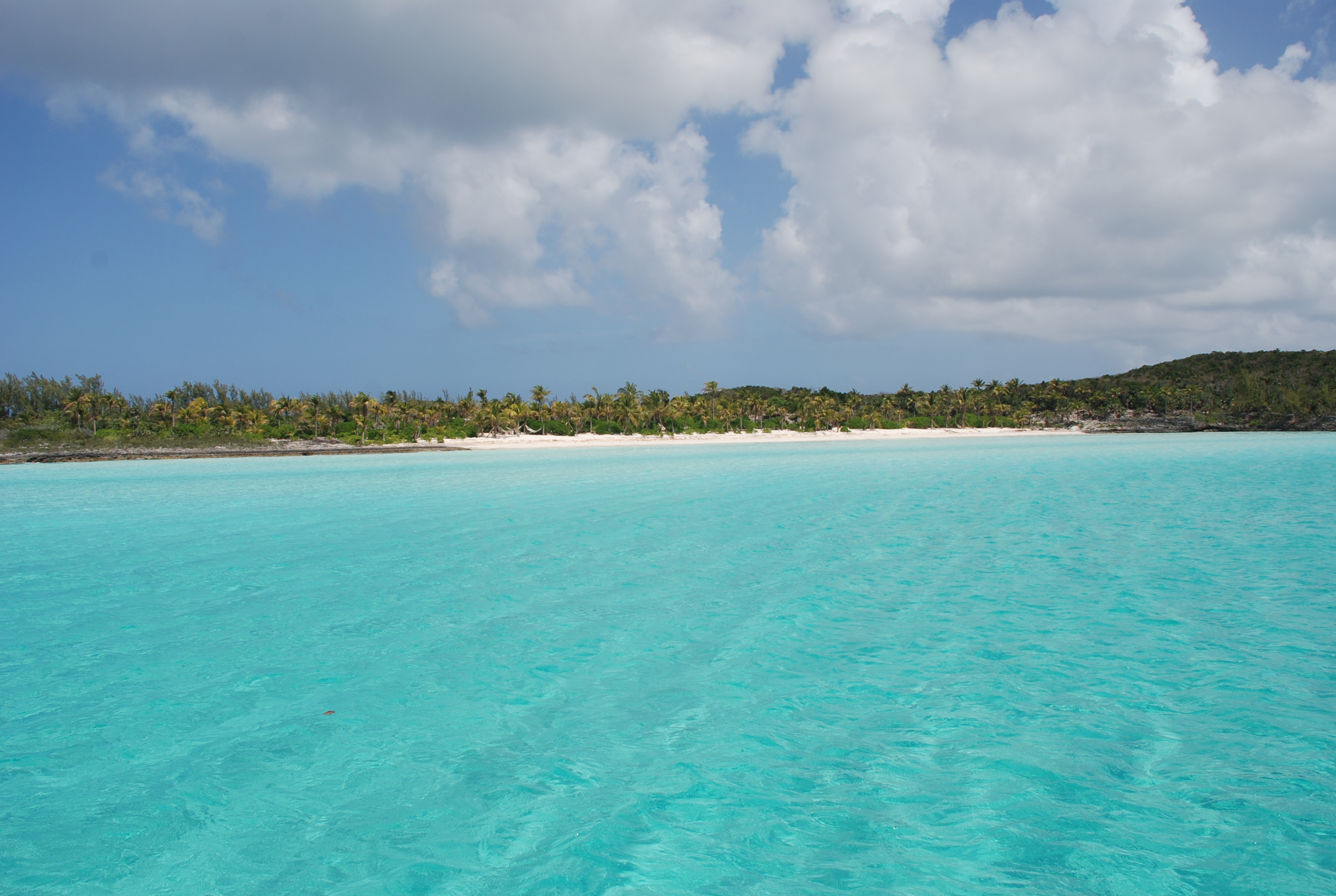
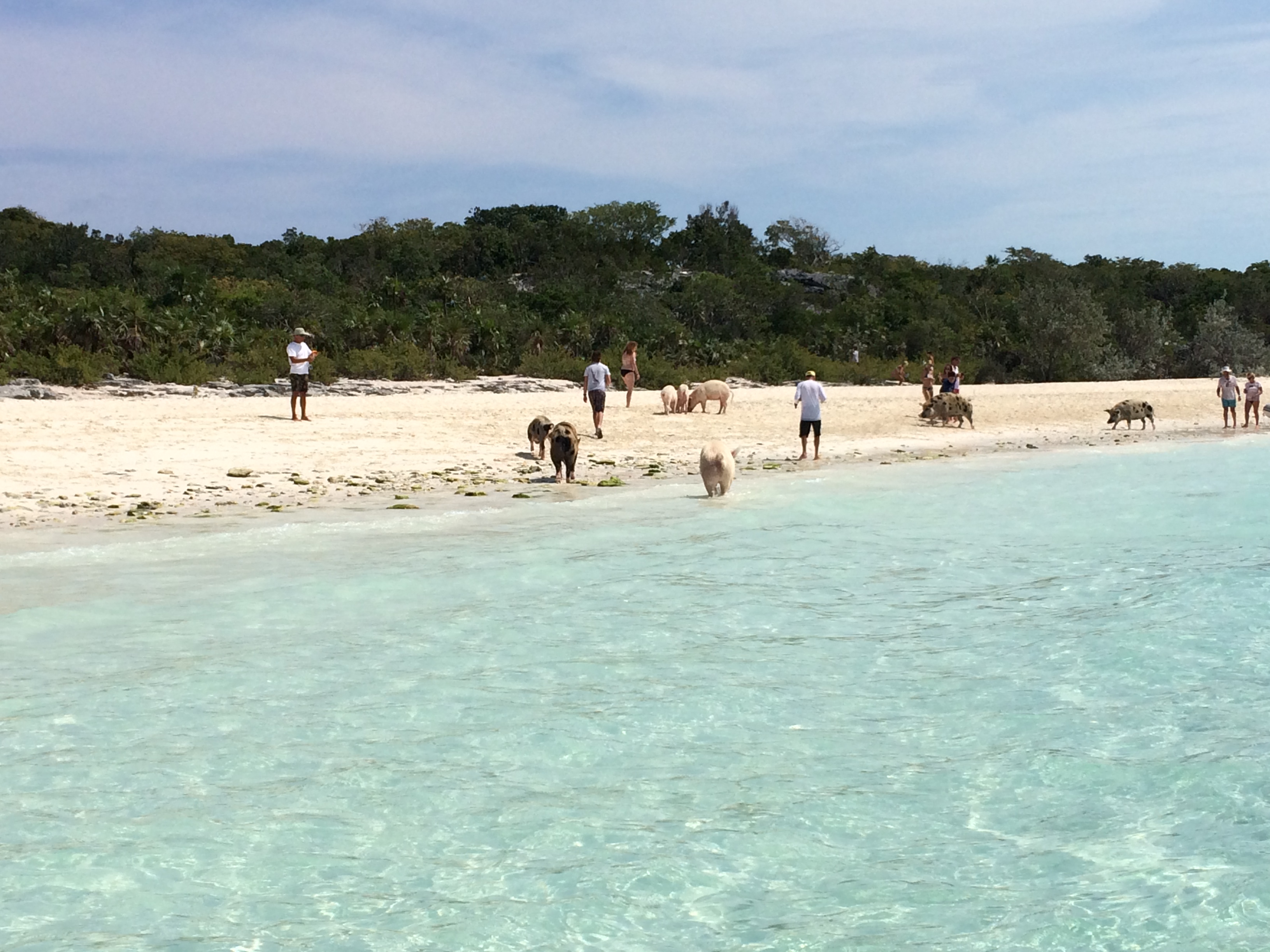
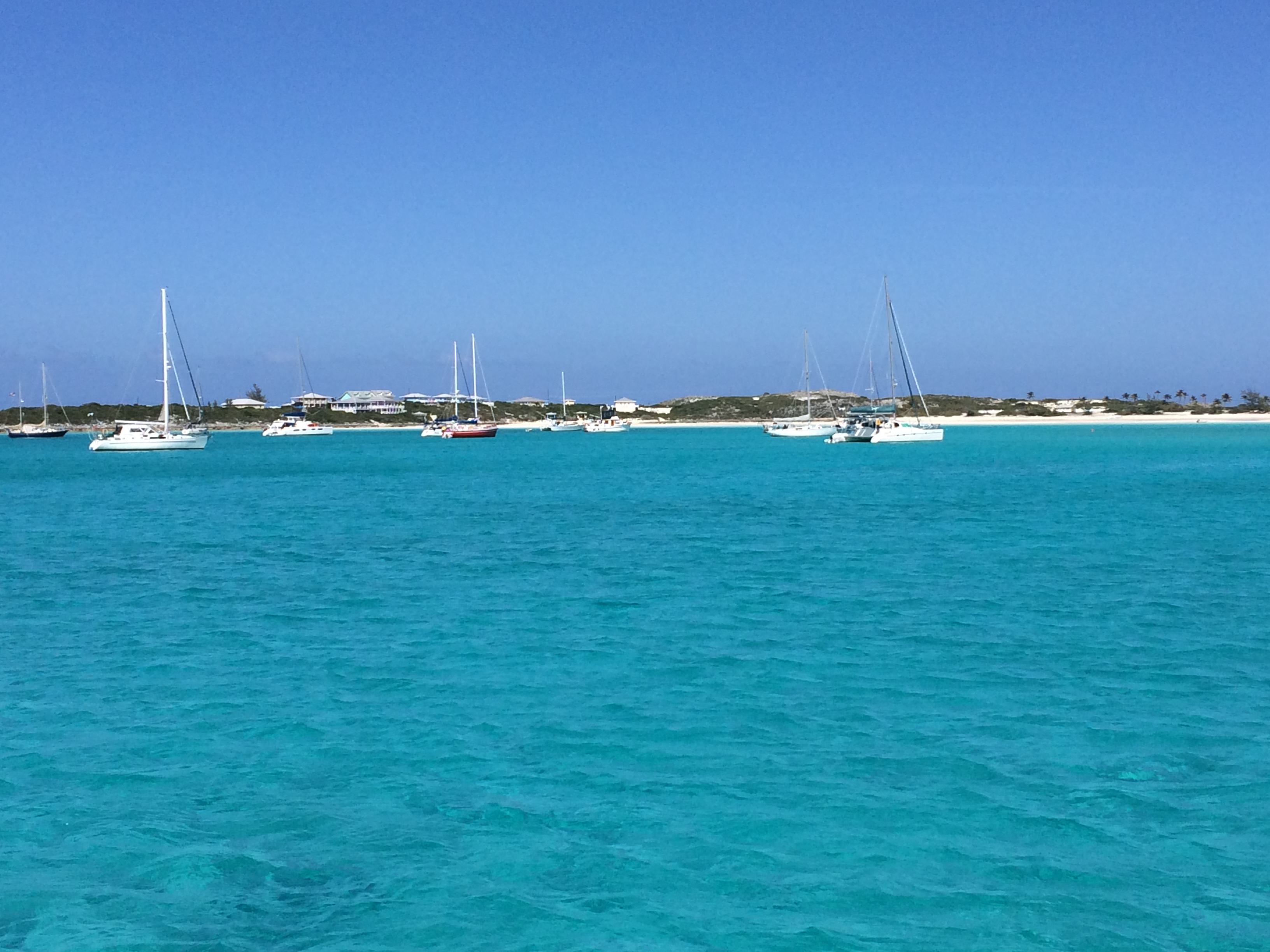
Volleyball beach and Chat and Chill:

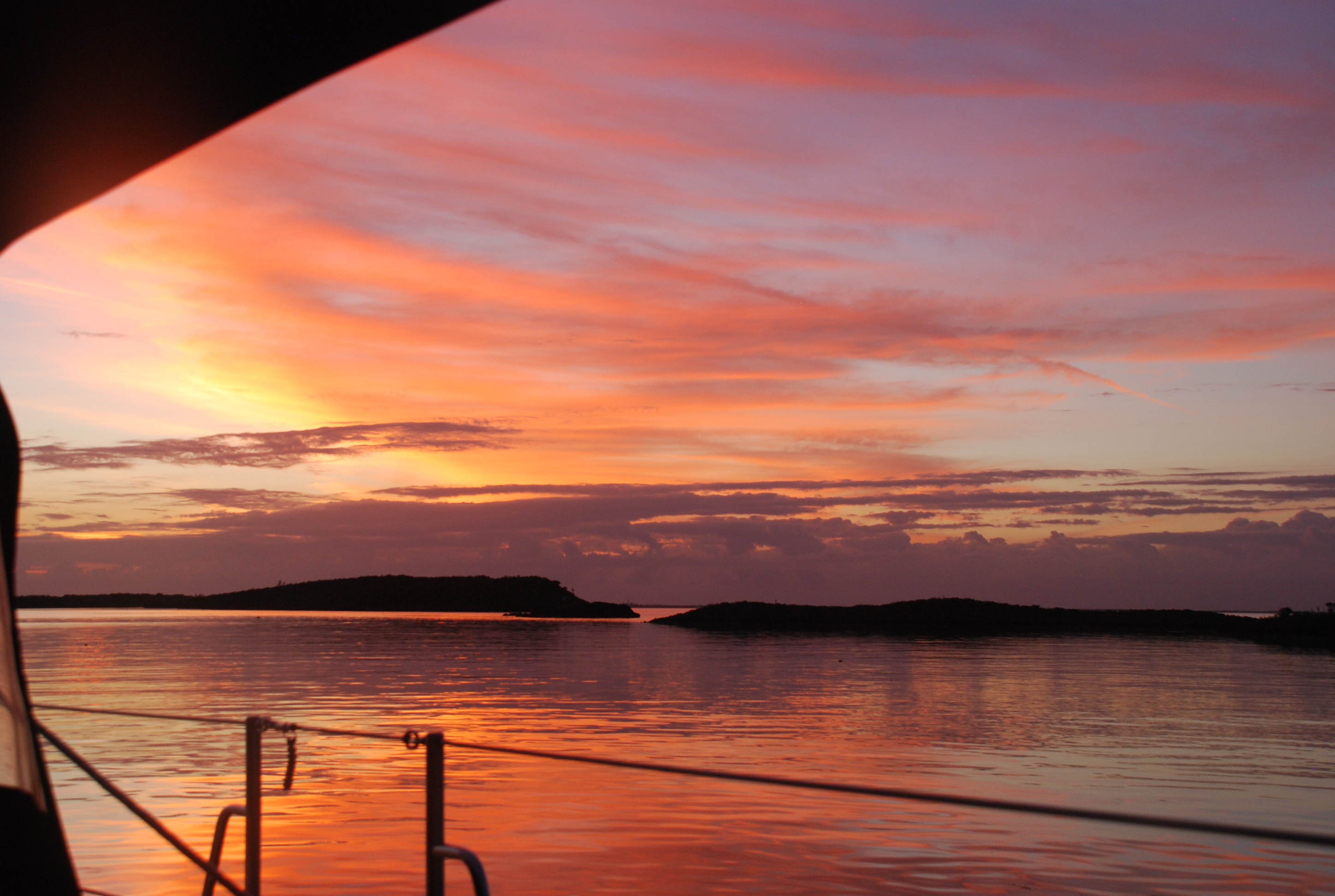
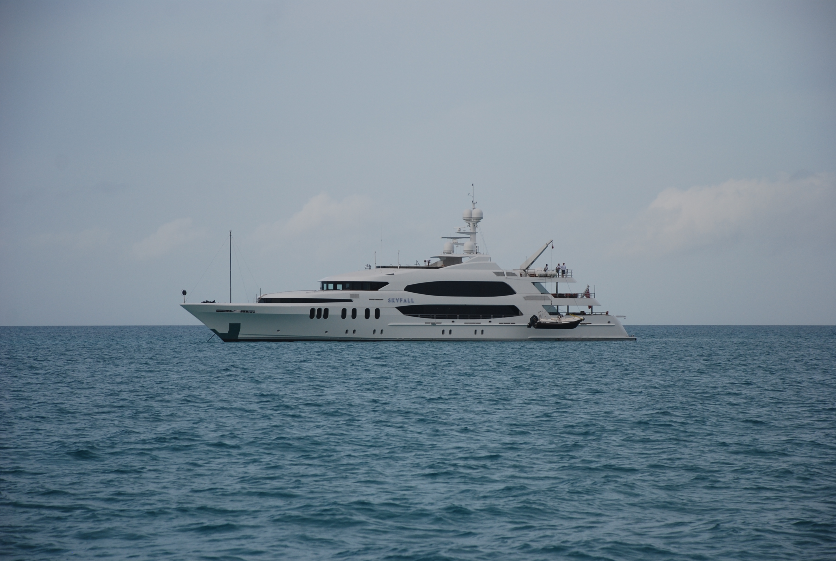
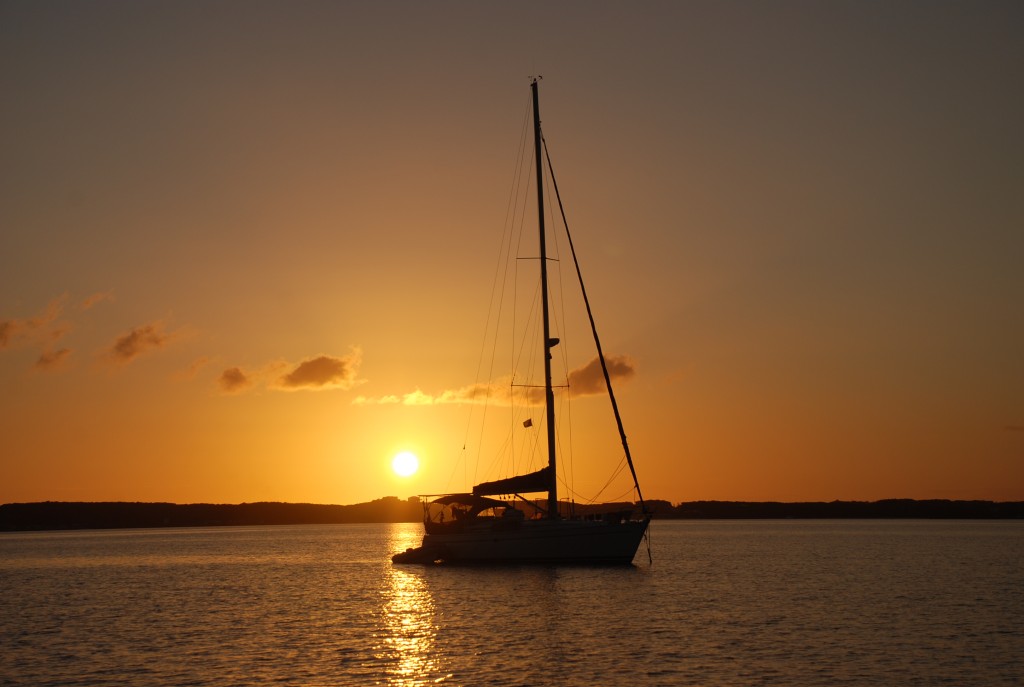
Buddy boat, Island Bound, during sunset:
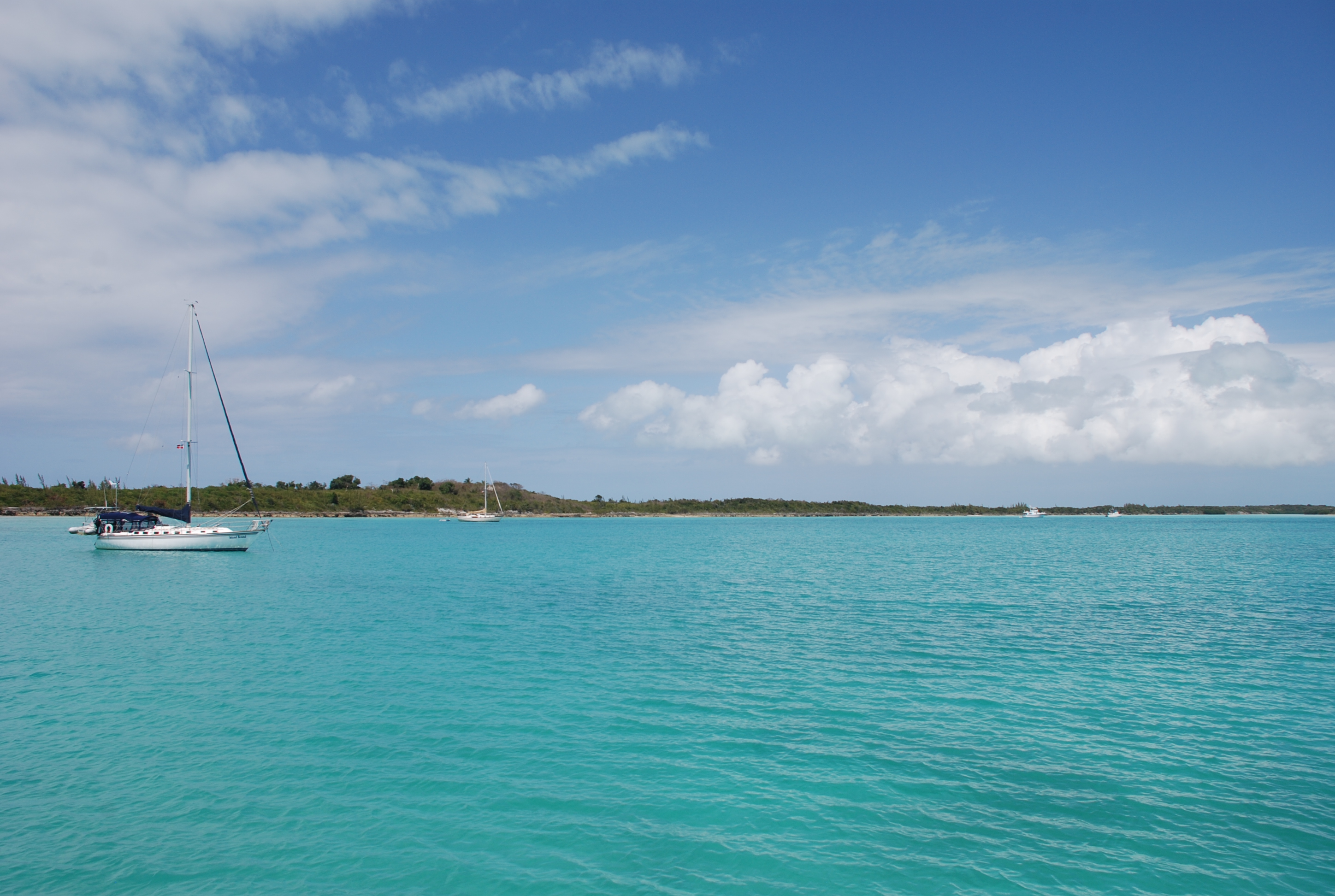
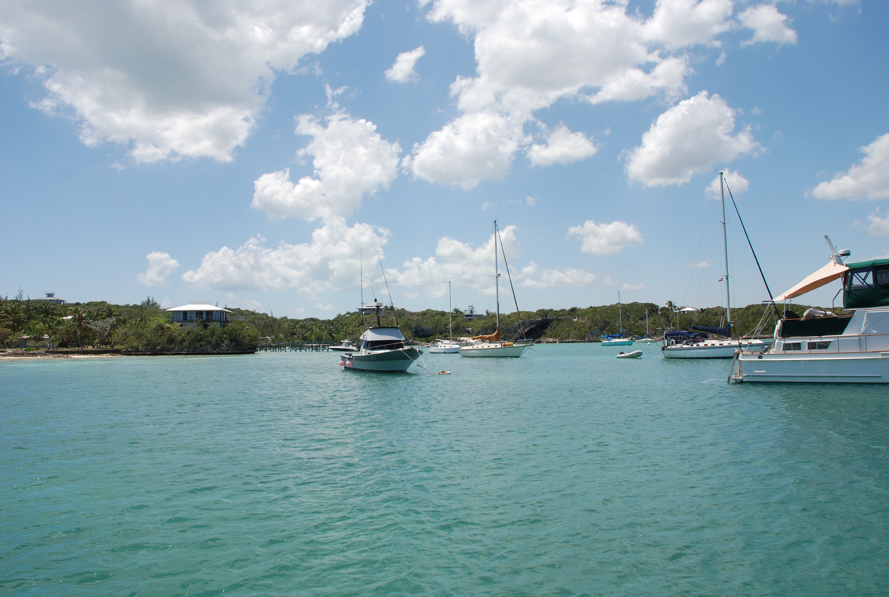
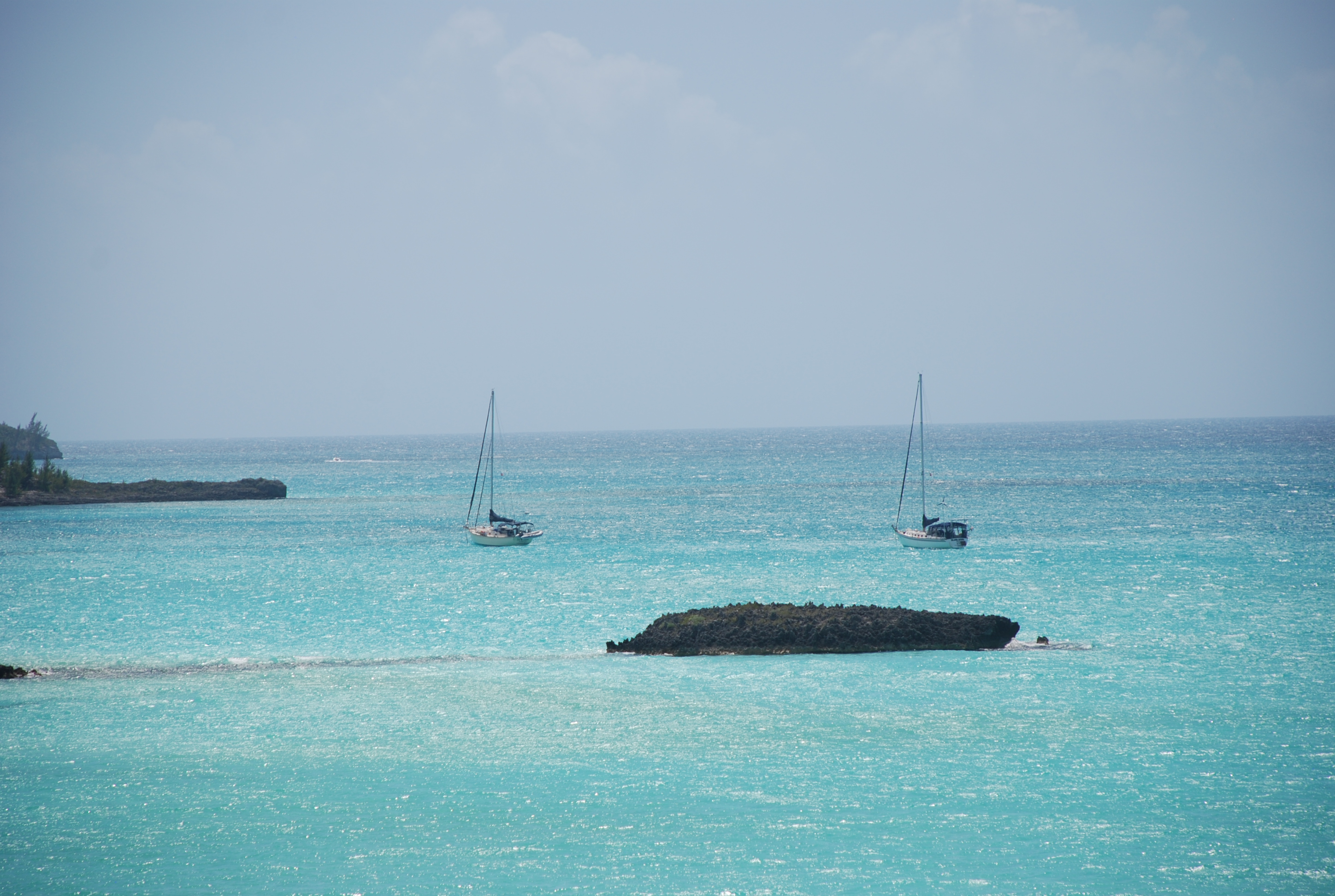
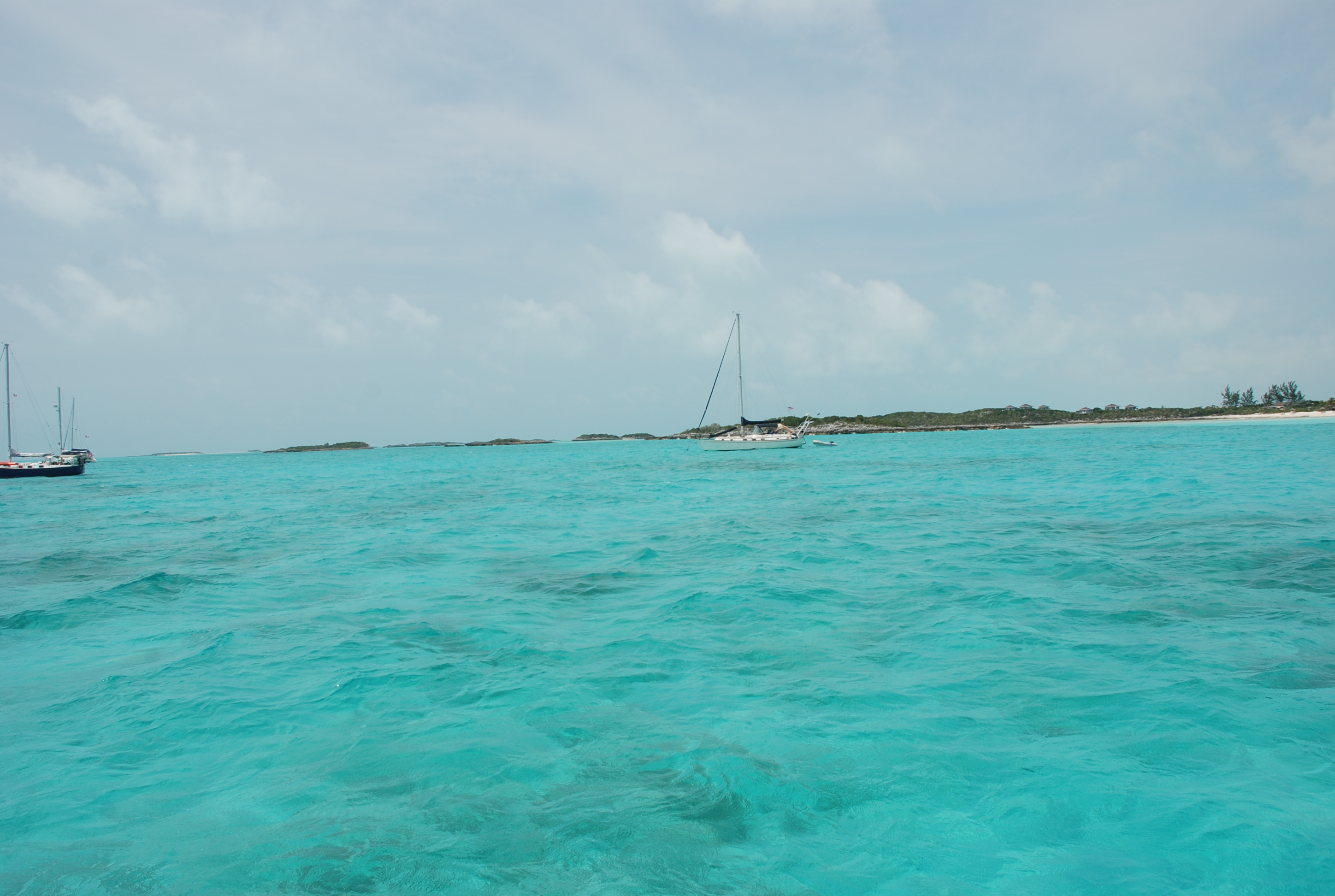
Our anchorage:

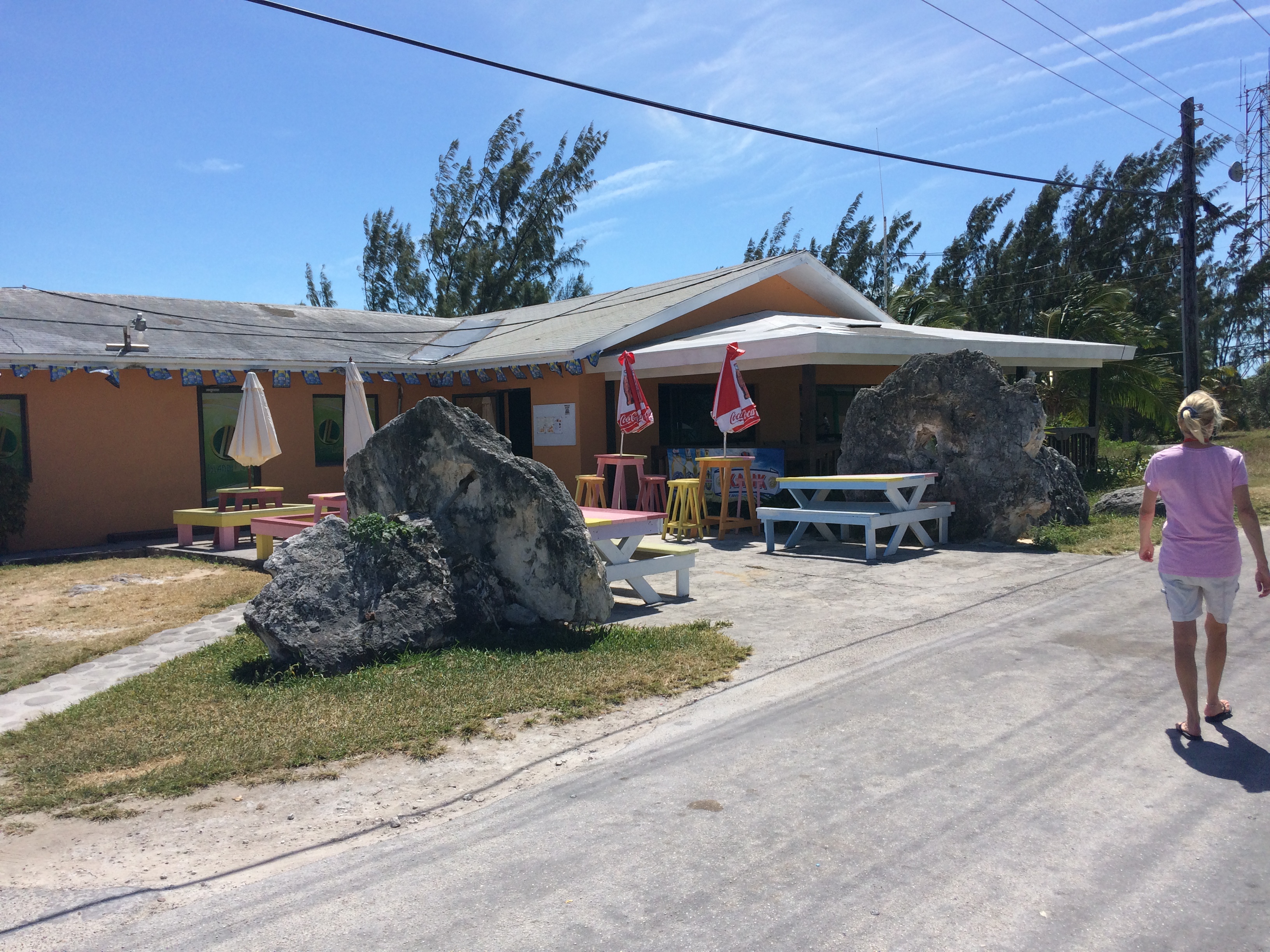
Chat and Chill:
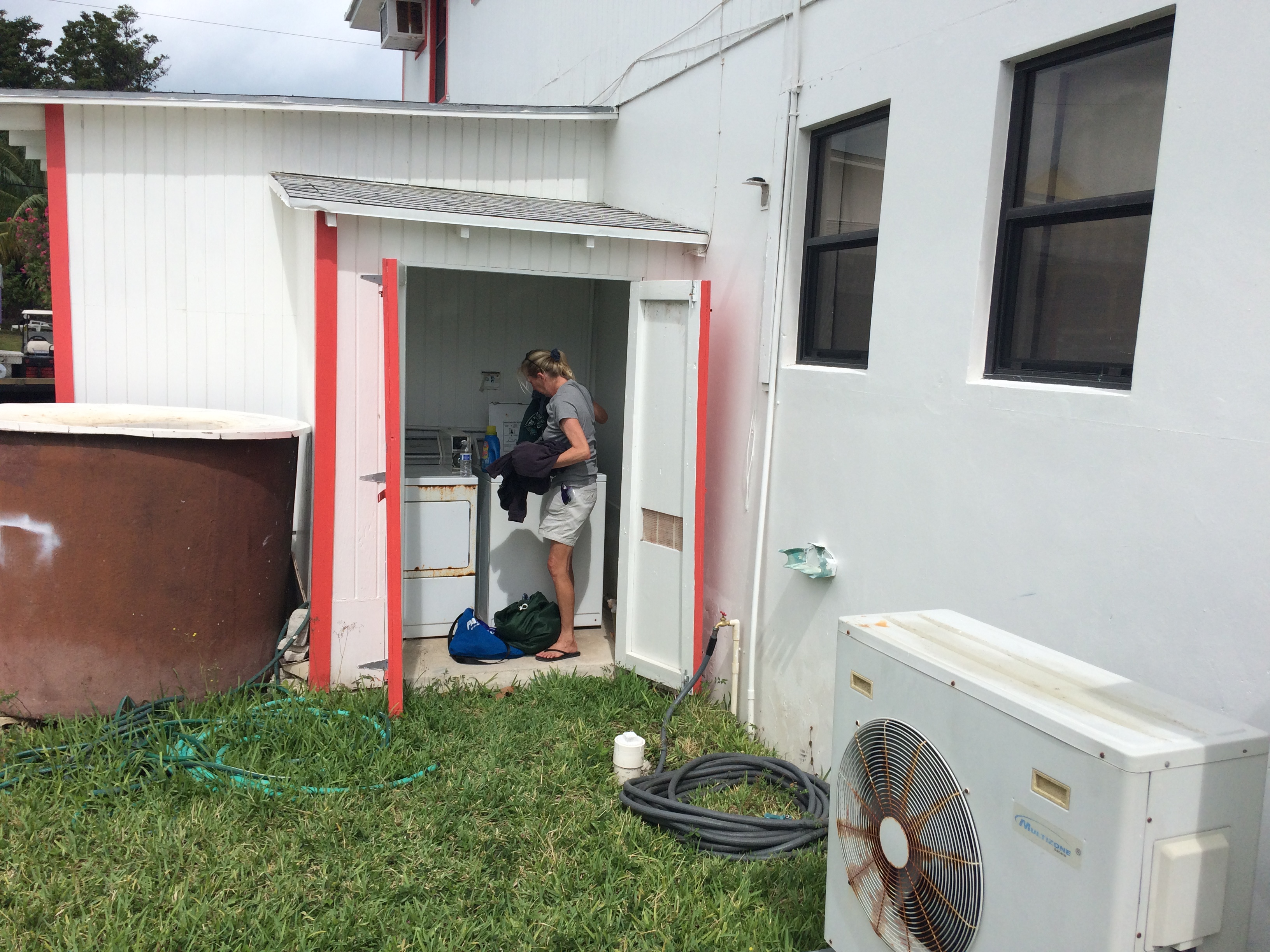
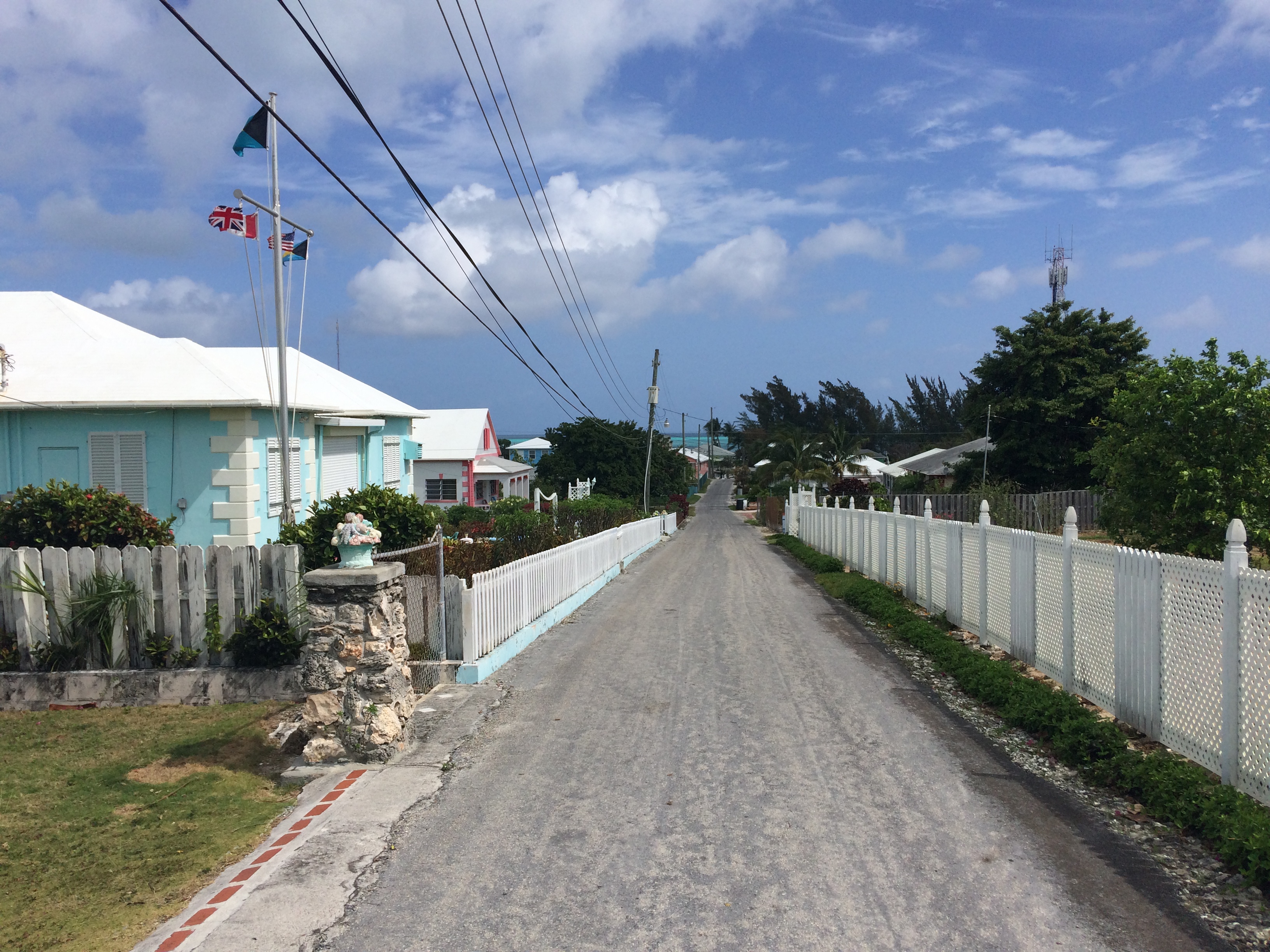
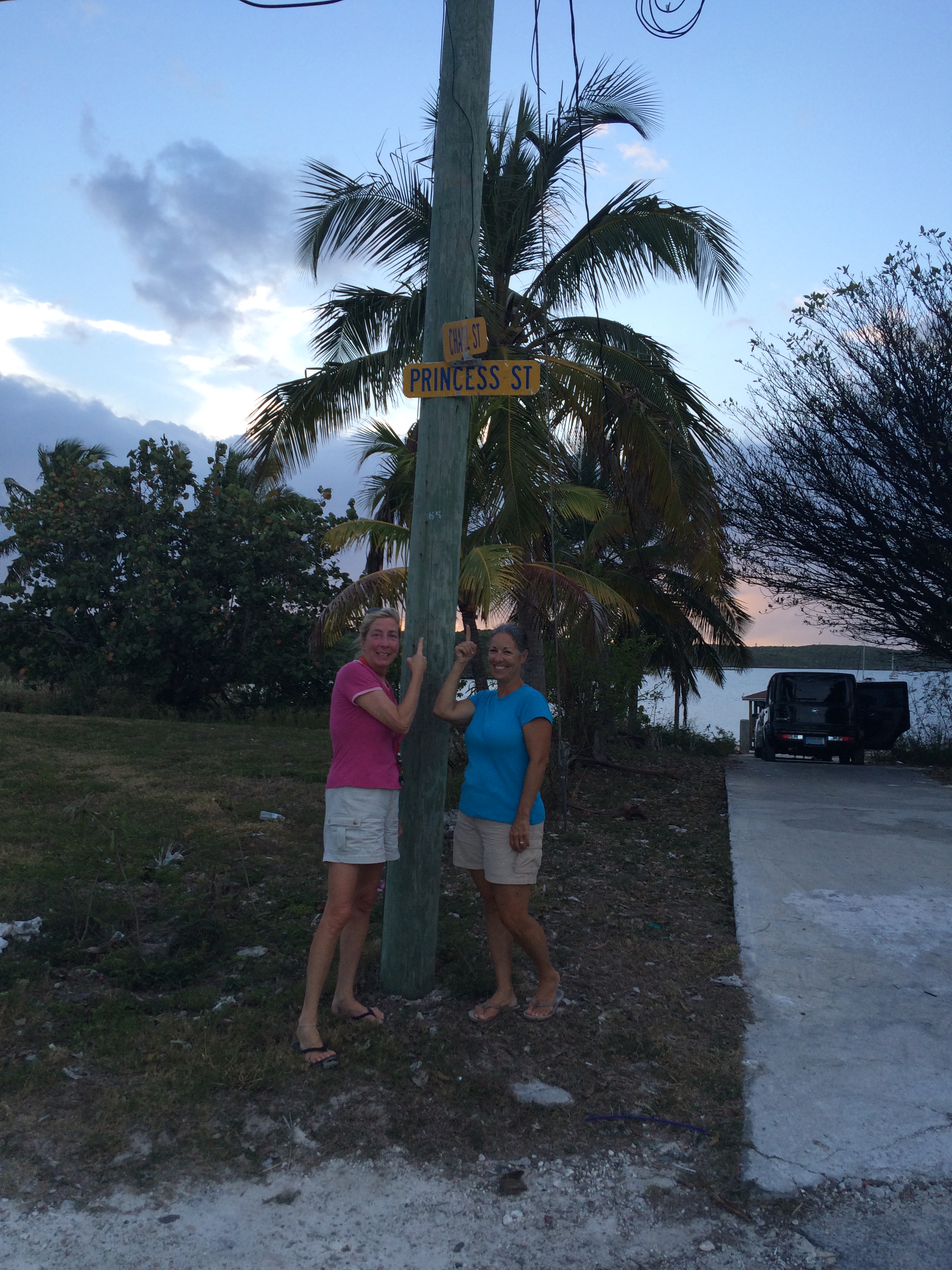
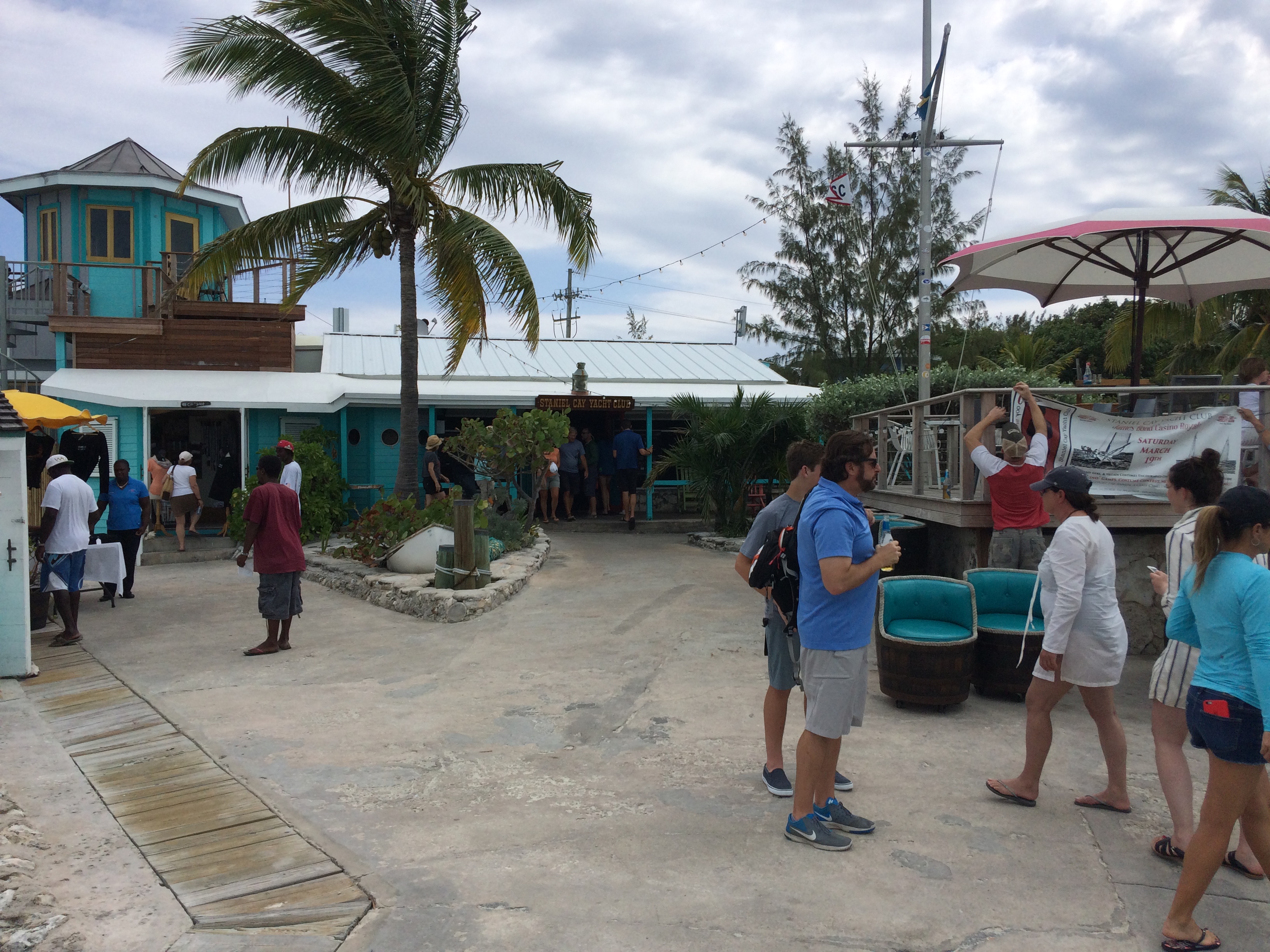
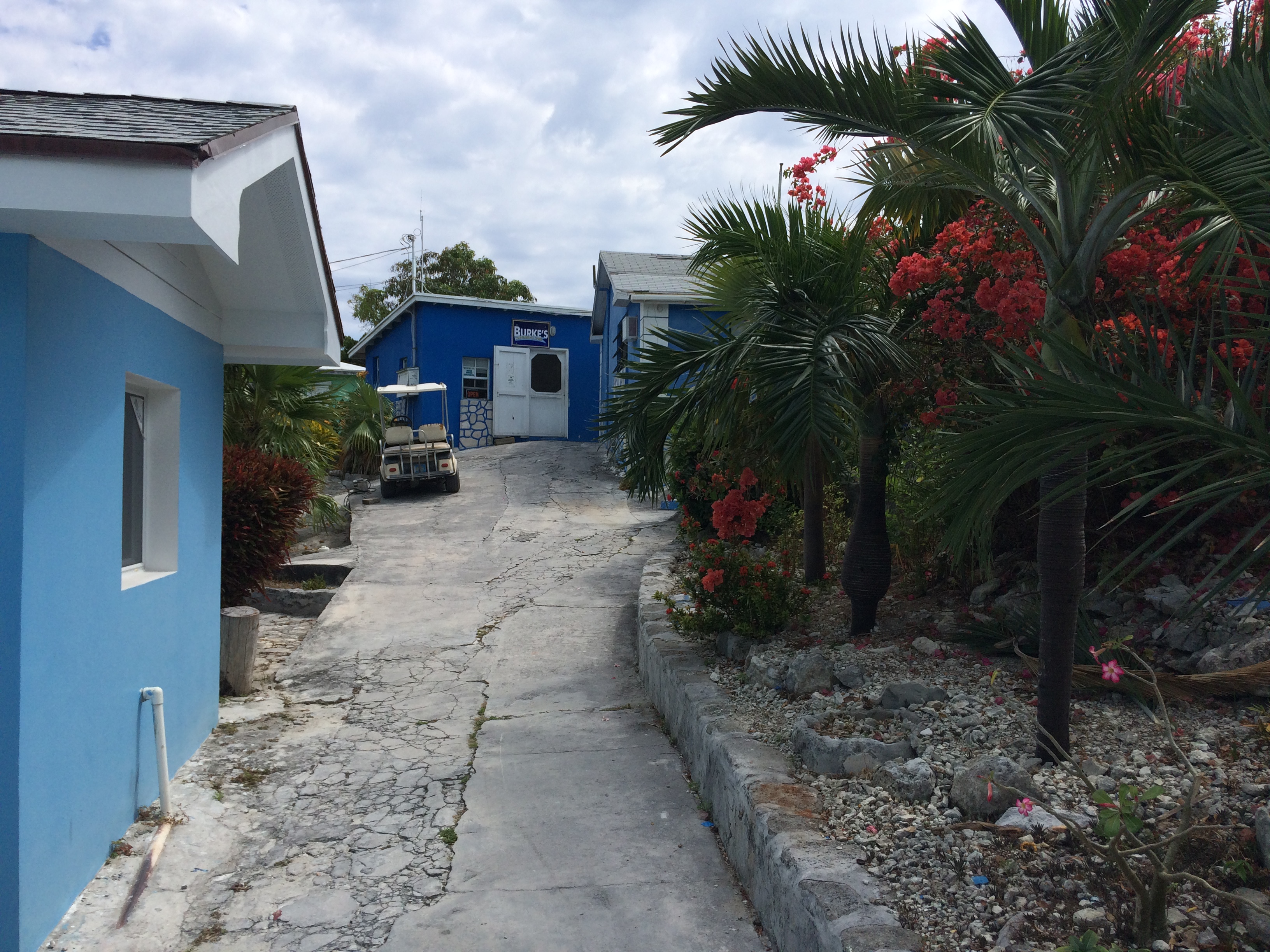
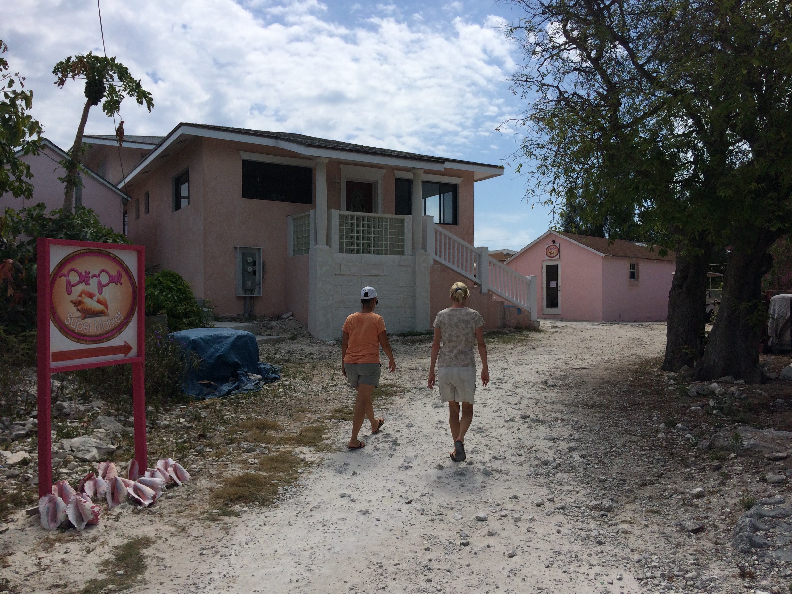
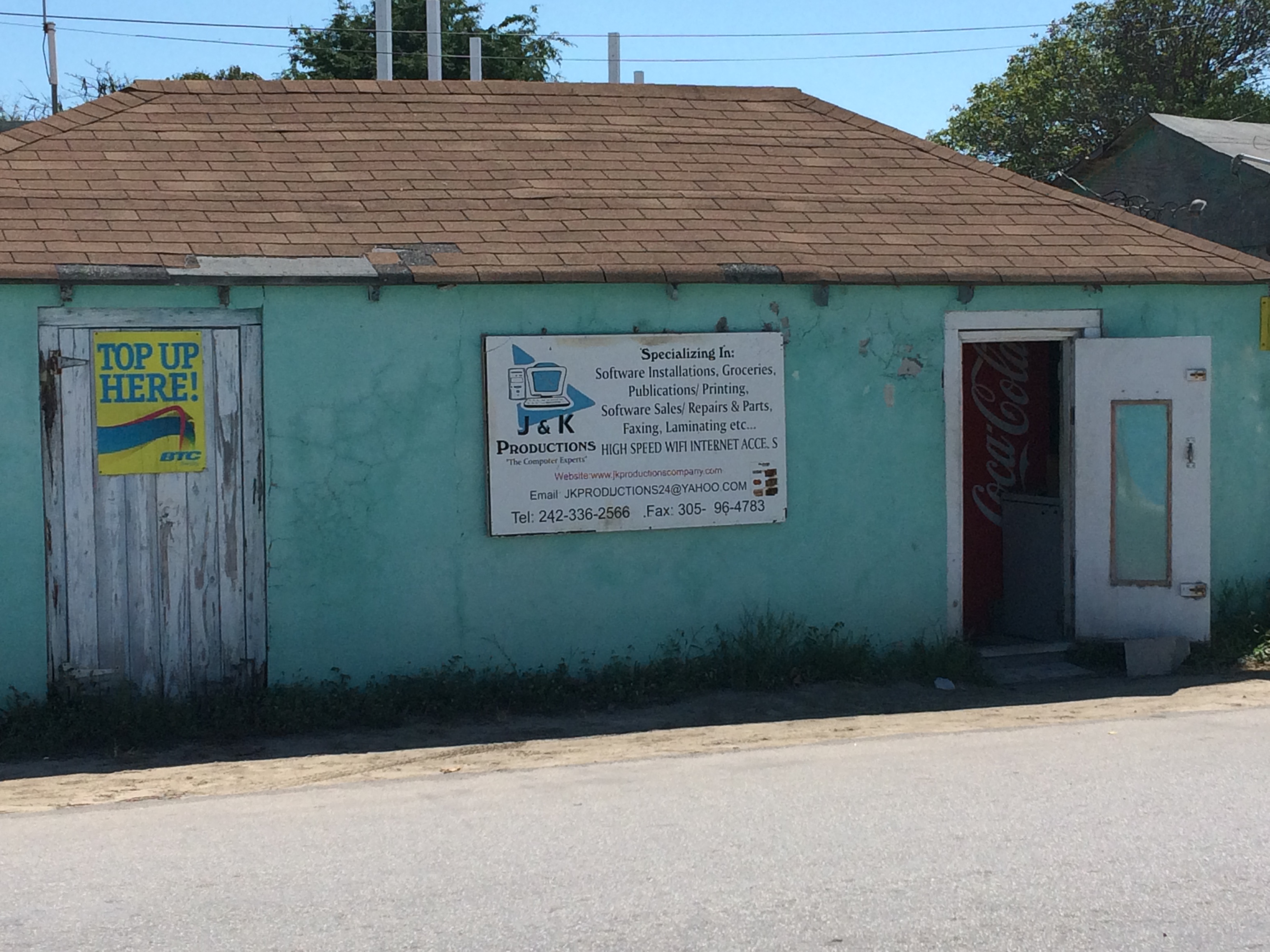
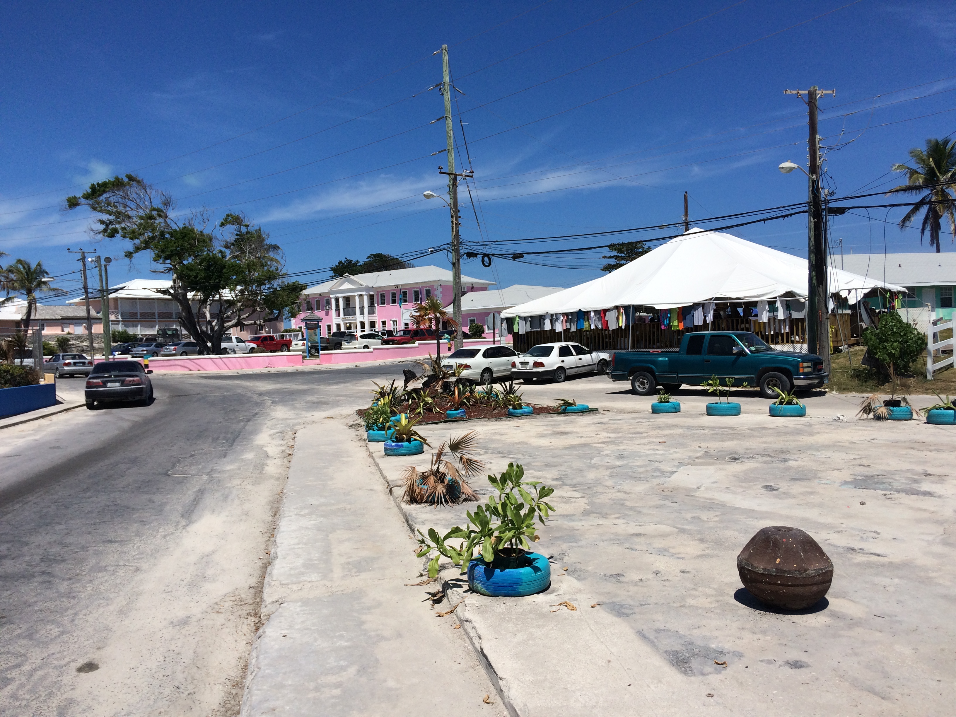
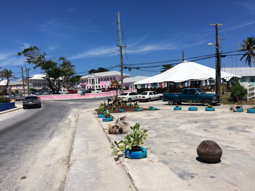
The next day we headed back to Georgetown, buying groceries and liquor, and checking out the BTC store (cell service company). We got some basic questions answered about our phones, one of which is how to keep the prepaid phone number active after we get back home. The customer service rep gave us bad information, but we found out that if we create an online account while we are here in the Bahamas, we can top up our accounts every 90 days via their web site and keep our phone numbers active. In the past we used Mr Simcard to top up and we paid a hefty premium for the service. Now we can pay direct. Georgetown has good provisioning, a decent hardware and marine supply store, some restaurants and bars, and basic needs like laundry and hair cuts. It is larger than most Bahamian towns we come across, but, like all Bahamian towns, still suffers from lack of maintenance and reliable basic infrastructure. The people are very nice and also, for the most part, poor. We babied the dinghy, and she survived the trip. When we got back from shopping, we took Island Bound back over to Georgetown to fuel up.
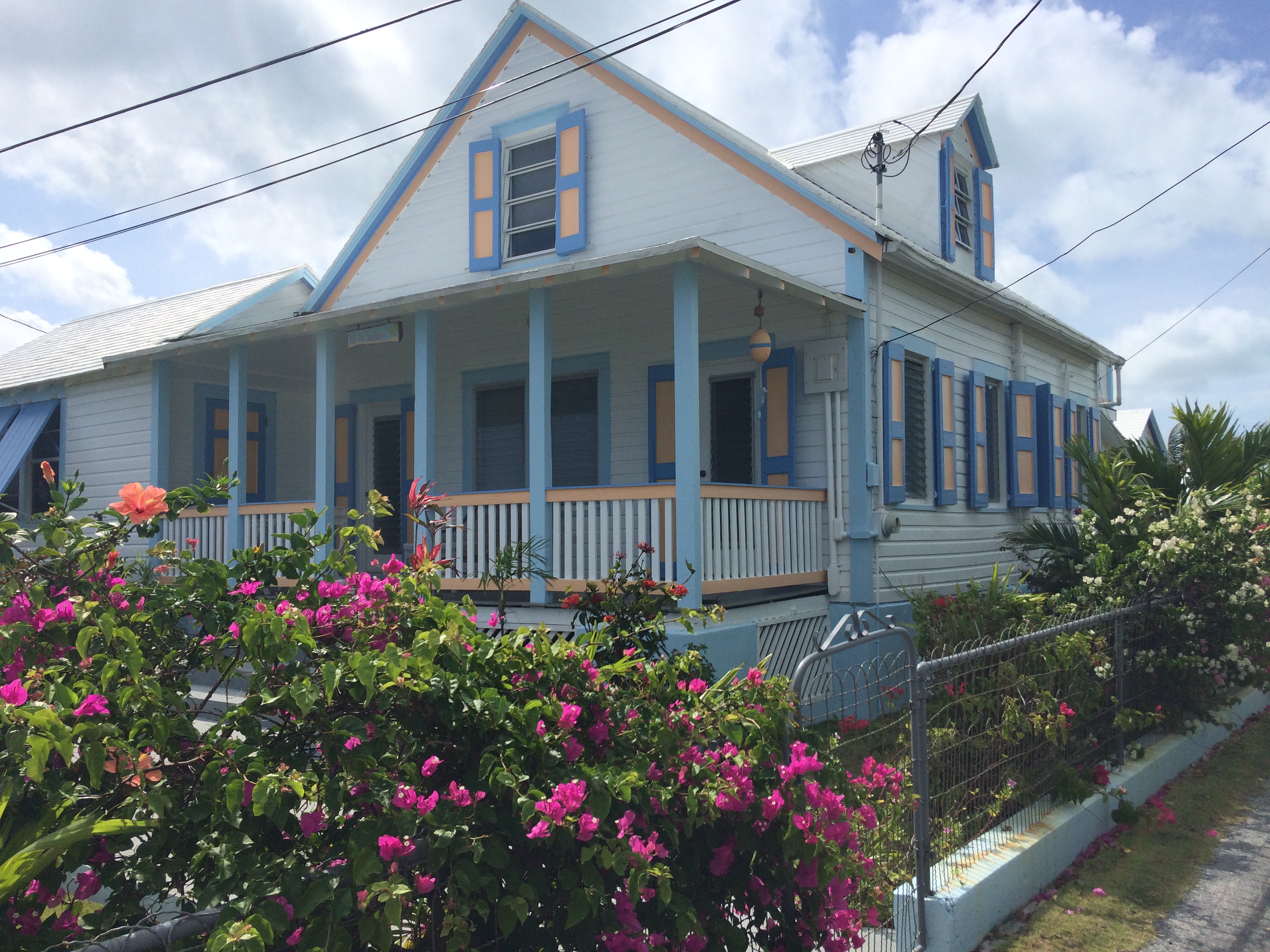
Typical Bahamian store:

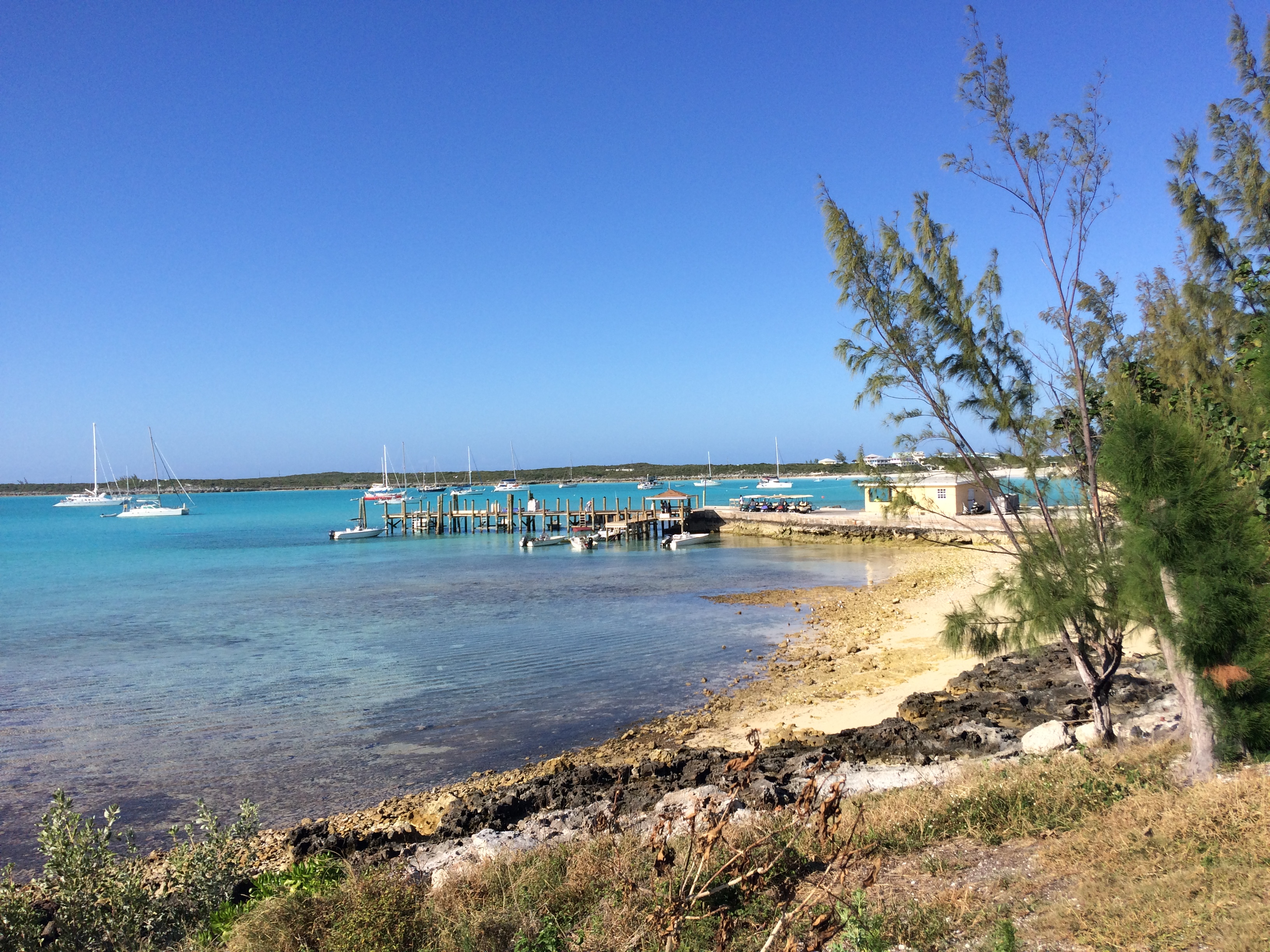
Georgetown waterfront:
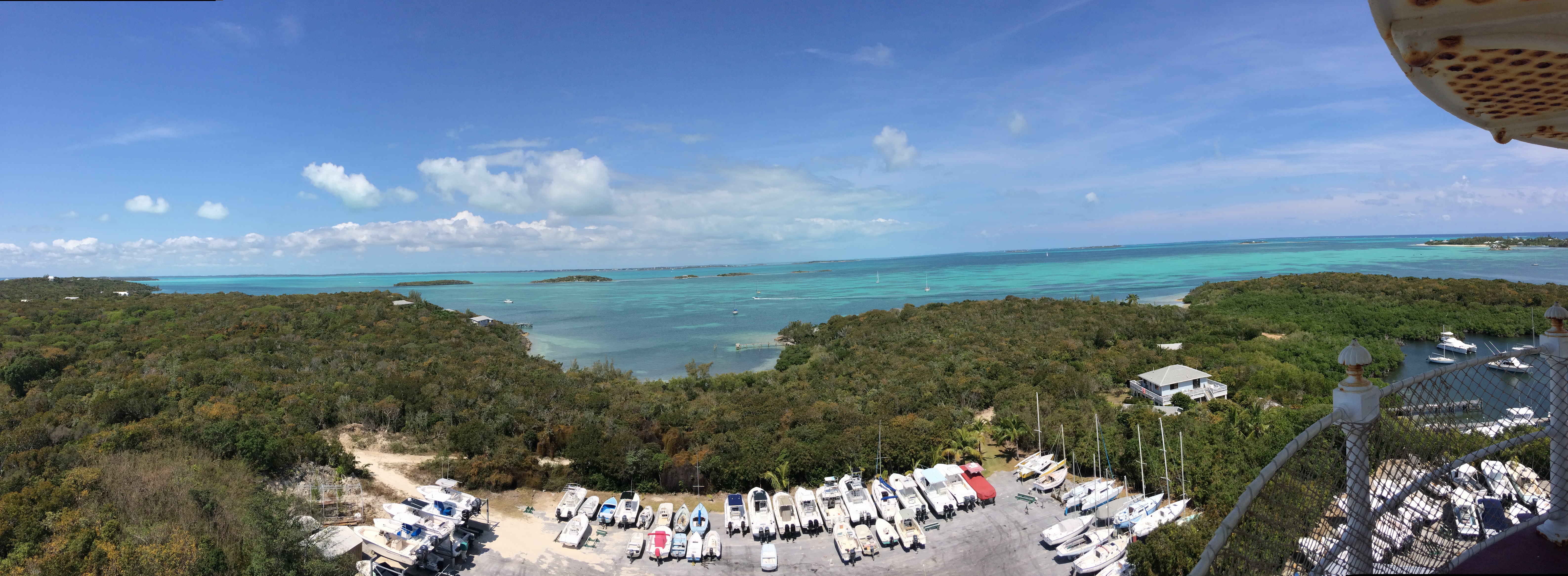
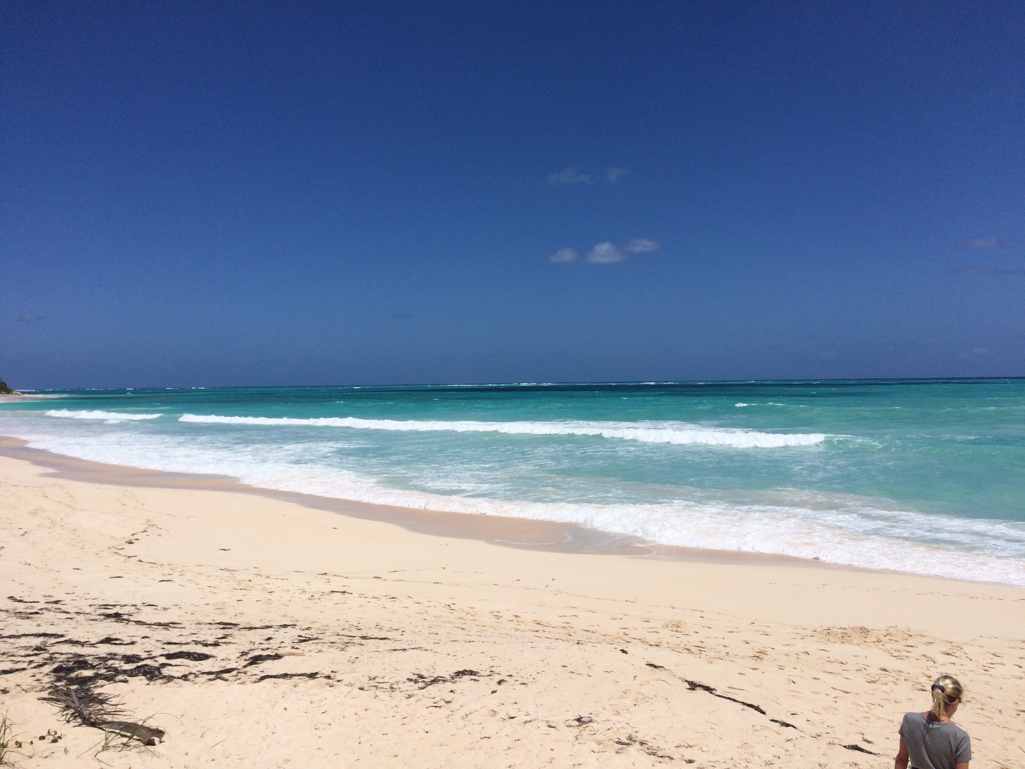
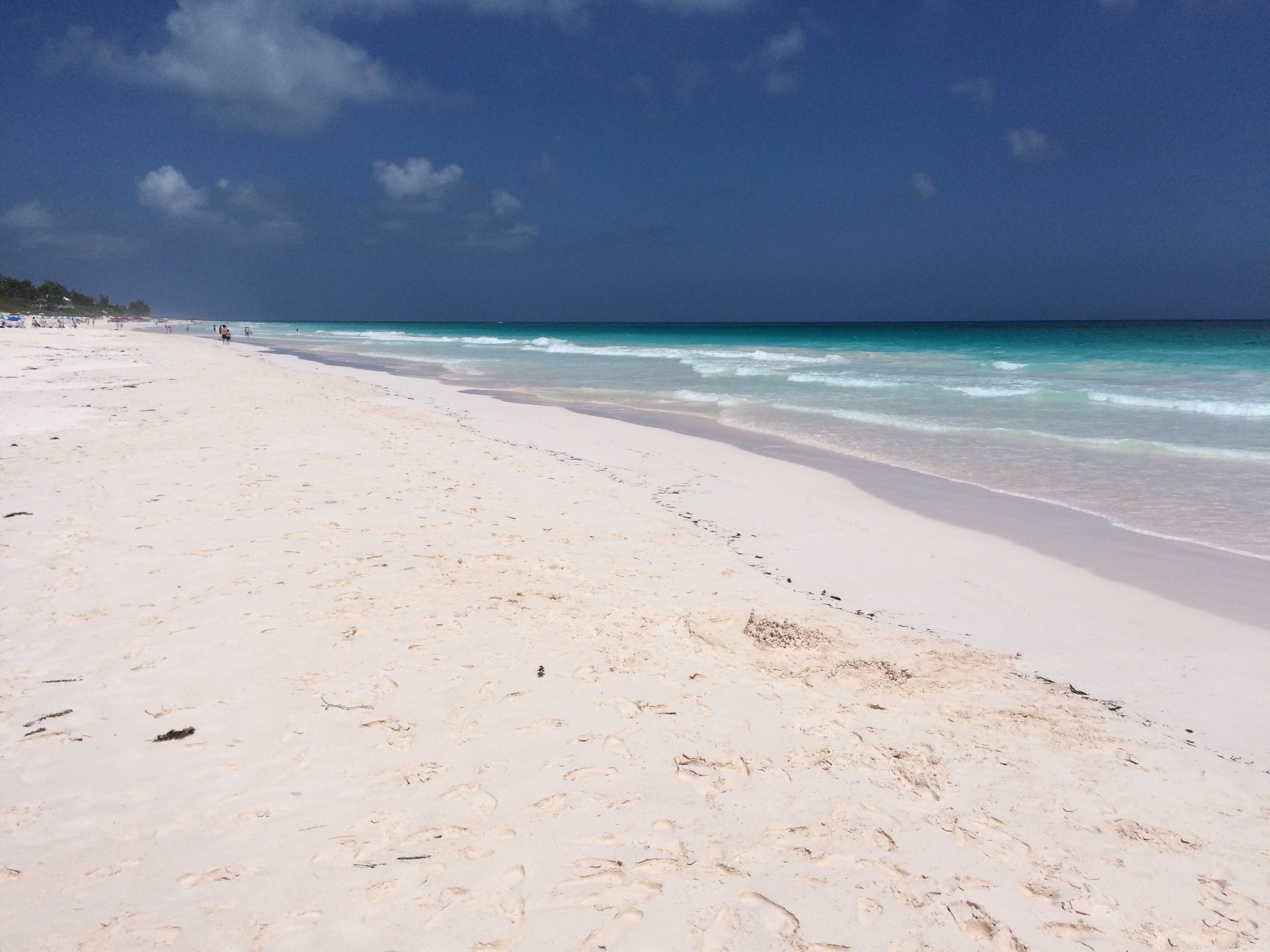
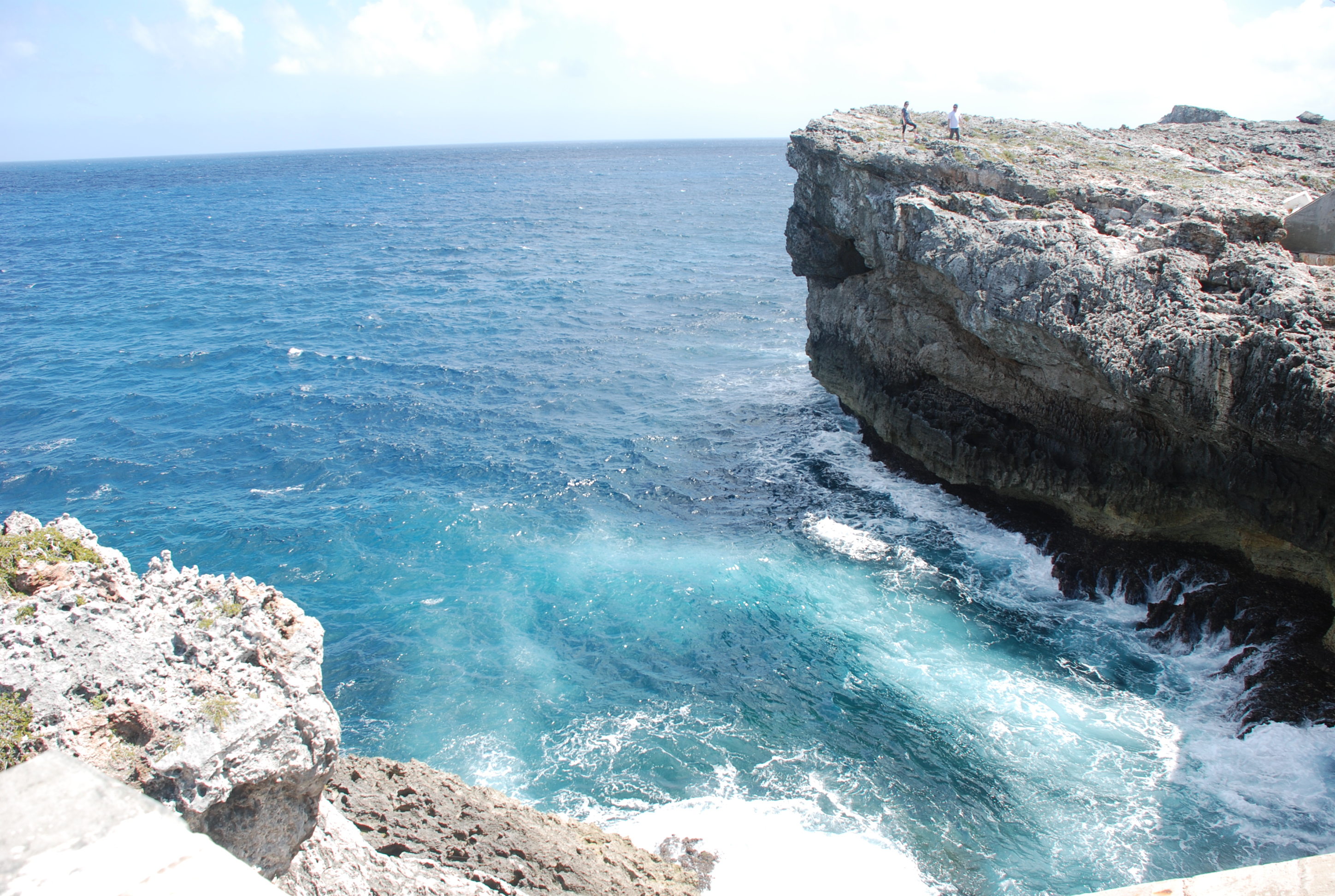
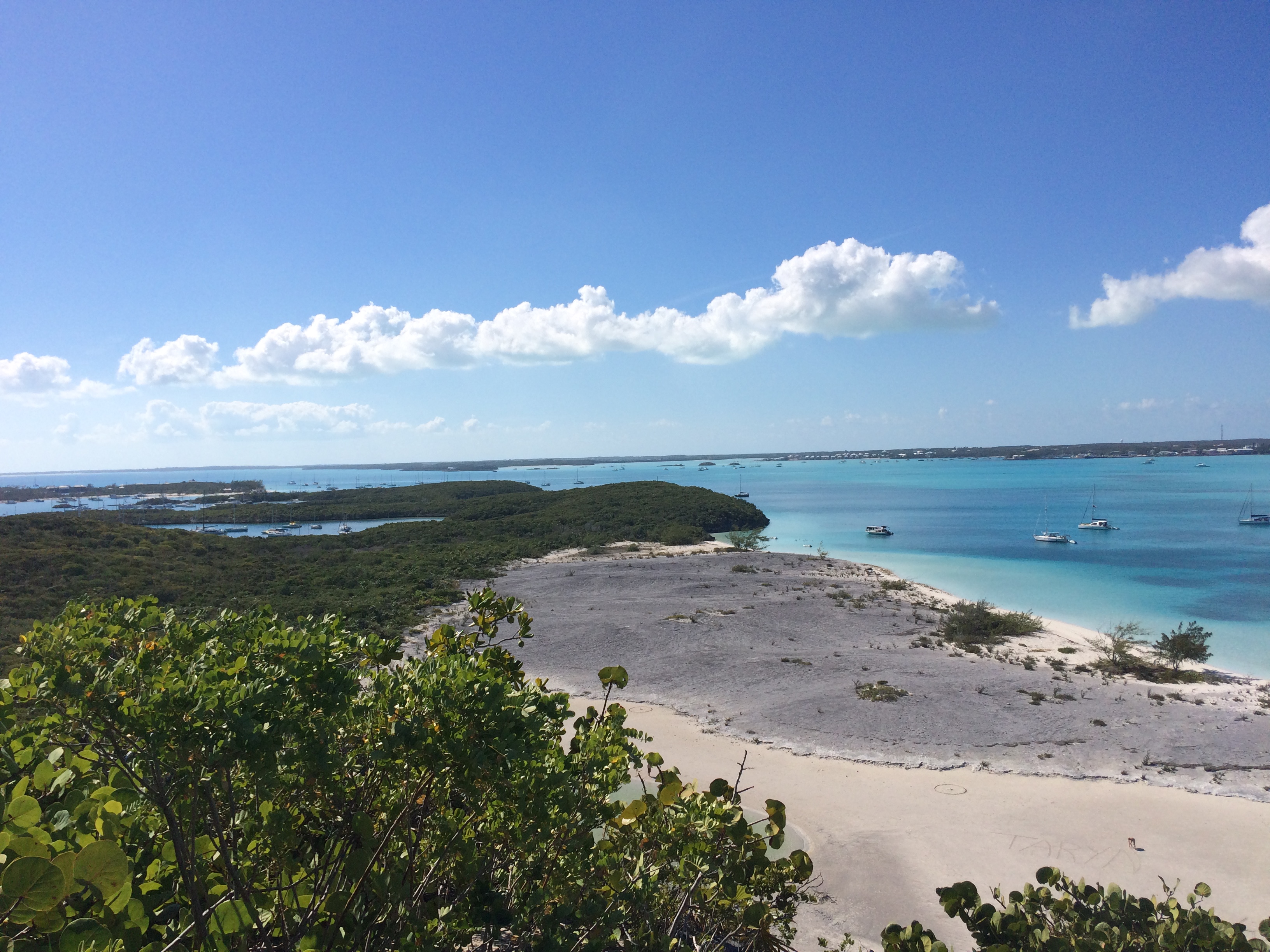
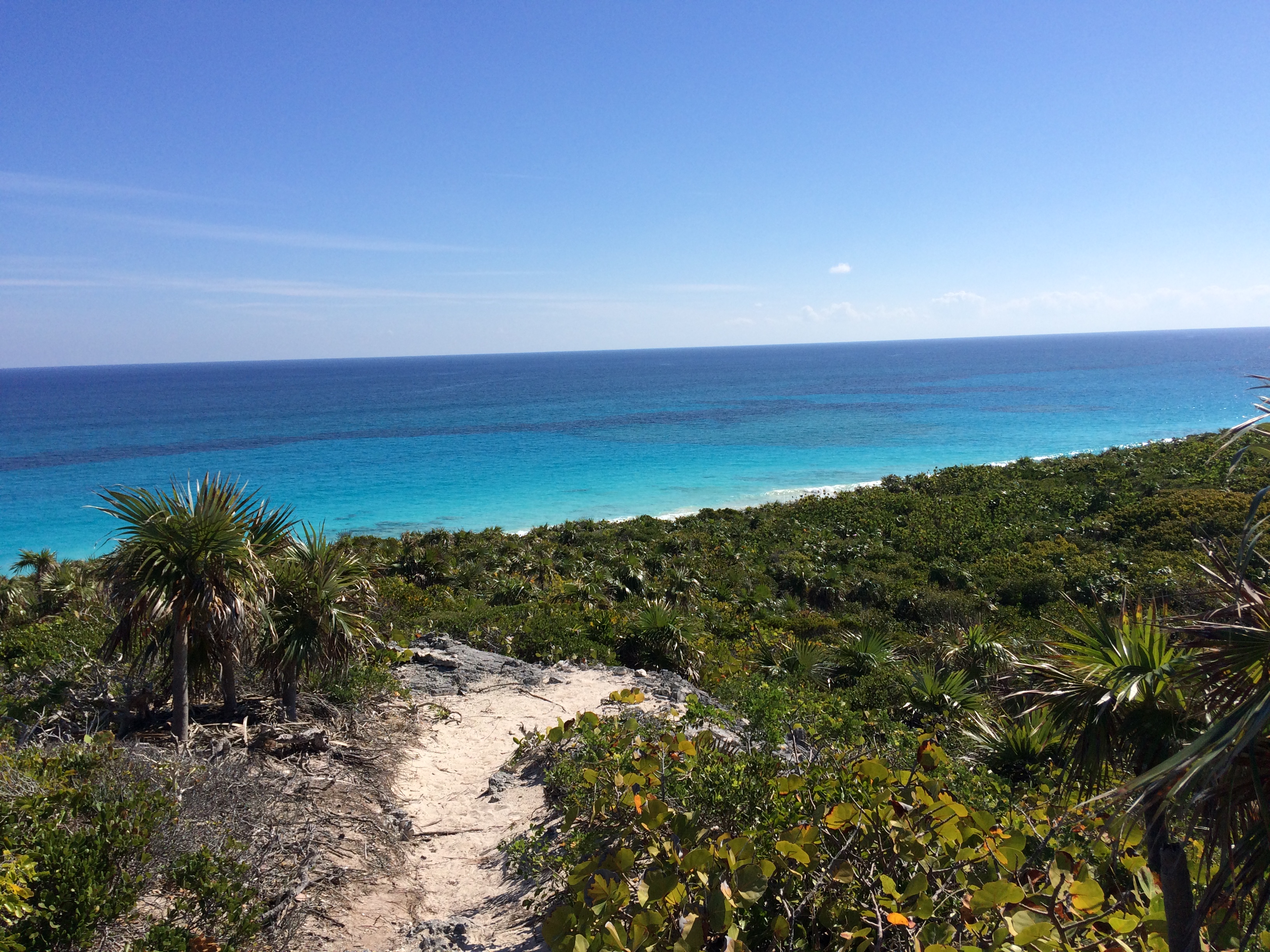
Today was awesome. We started with a hike to the ocean side of Stocking Island…beautiful…and then up Monument Hill for some fantastic views.


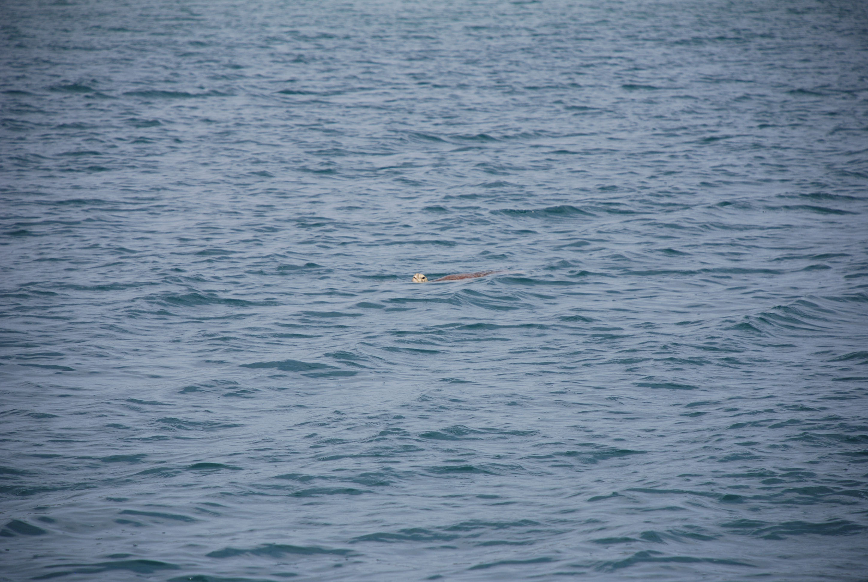
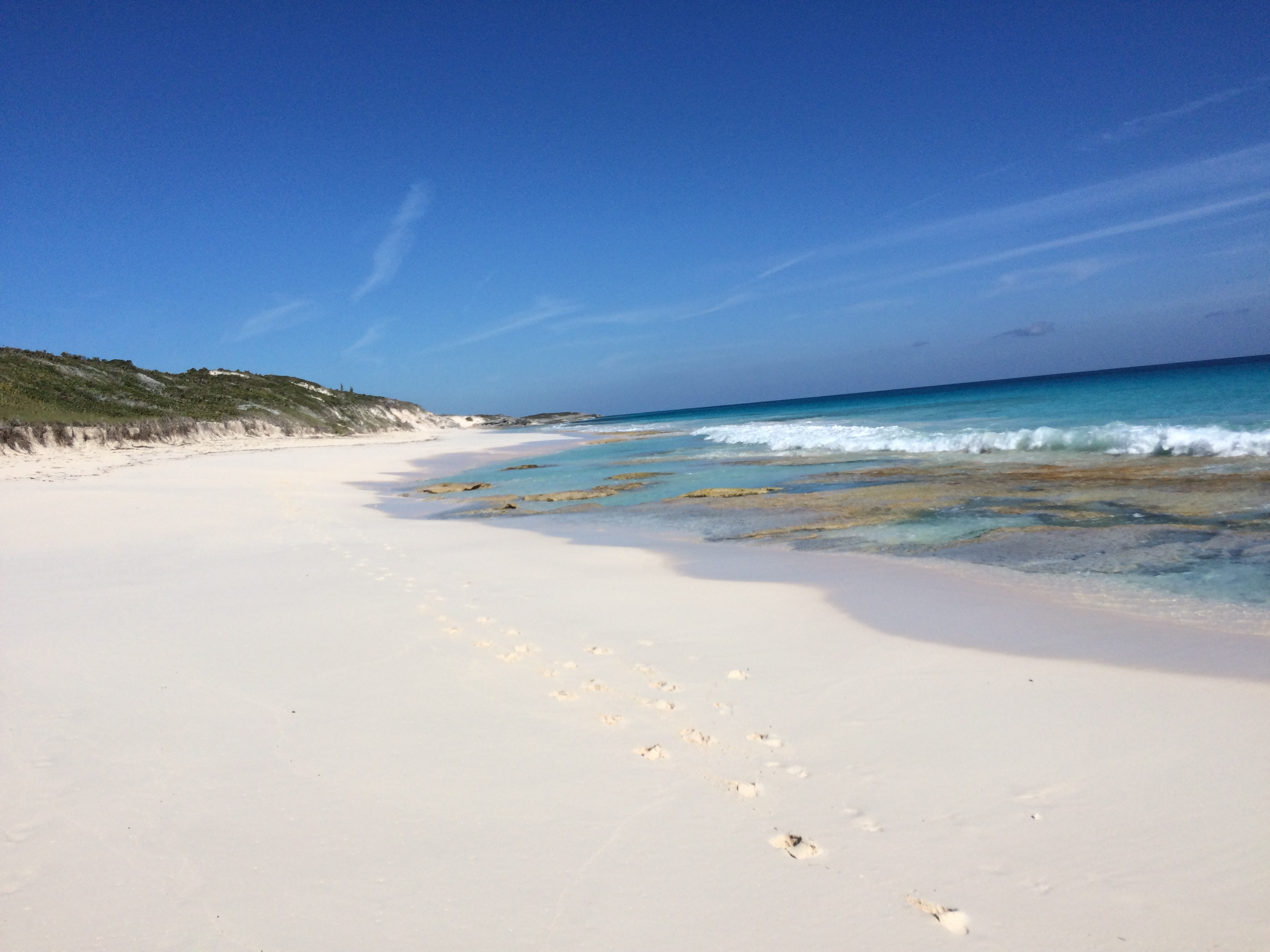
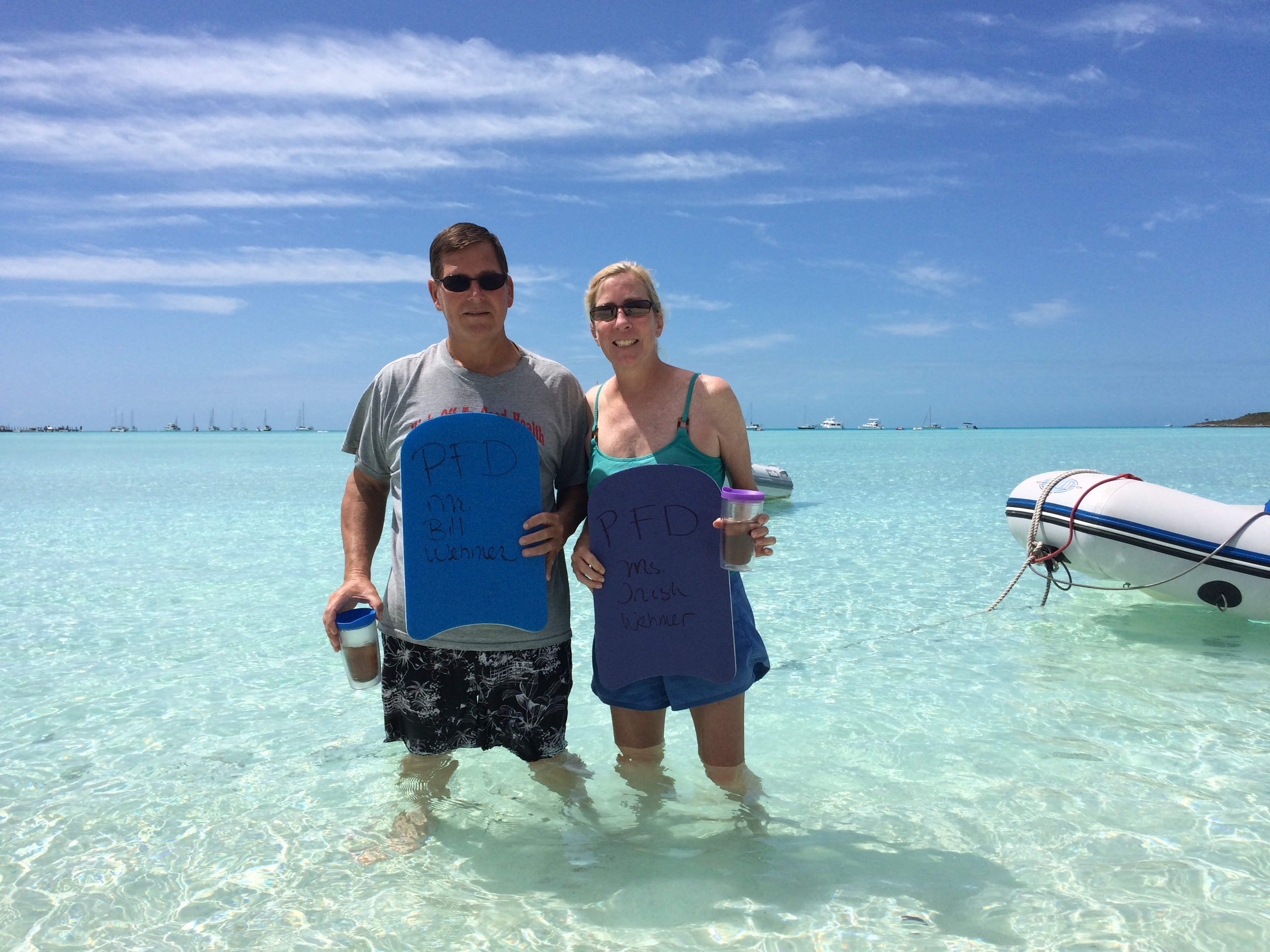
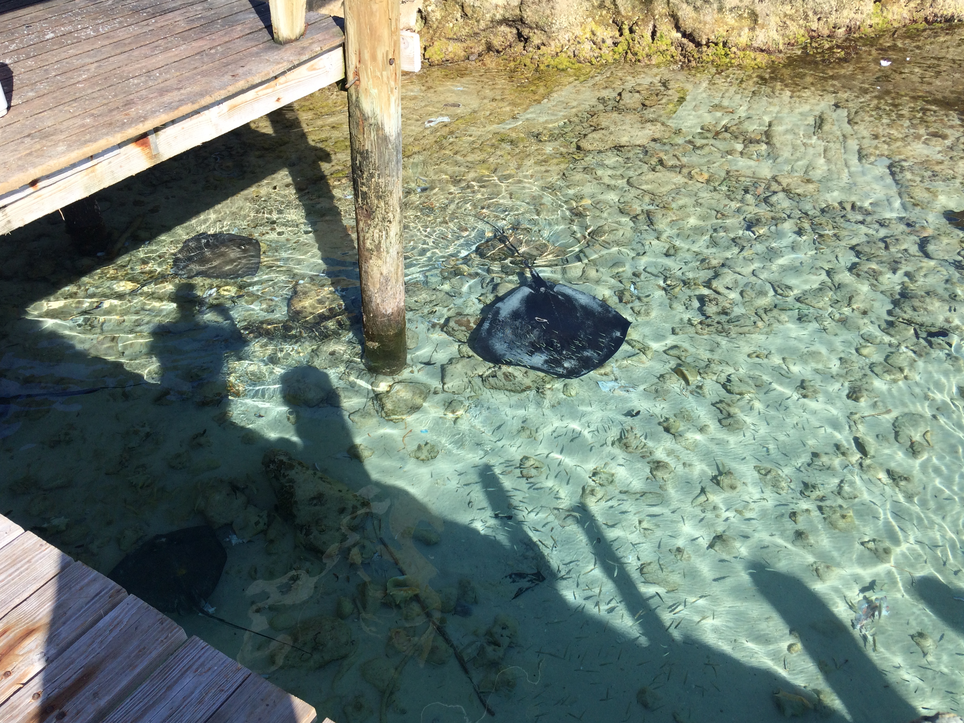
Afterwards, we took the dinghys a couple of miles south in Elizabeth Harbor and did some really great snorkeling on some shallow reefs, followed by some wallowing at a really pretty ocean cut…totally secluded. Wallowing with the kickboards our former neighbors gave us as a parting gift:


We showered up and headed back to Georgetown to have dinner at a Rake-and-scrape, which is basically a Bahamian barbecue. We had ribs, rice and peas (beans), cole slaw, and mac-and-cheese. It was pretty good! We have enjoyed a week of fantastic weather for a change, but time is running out and the next front is approaching in a few days. We will leave Georgetown tomorrow and head back north to weather the front.