4/4/15
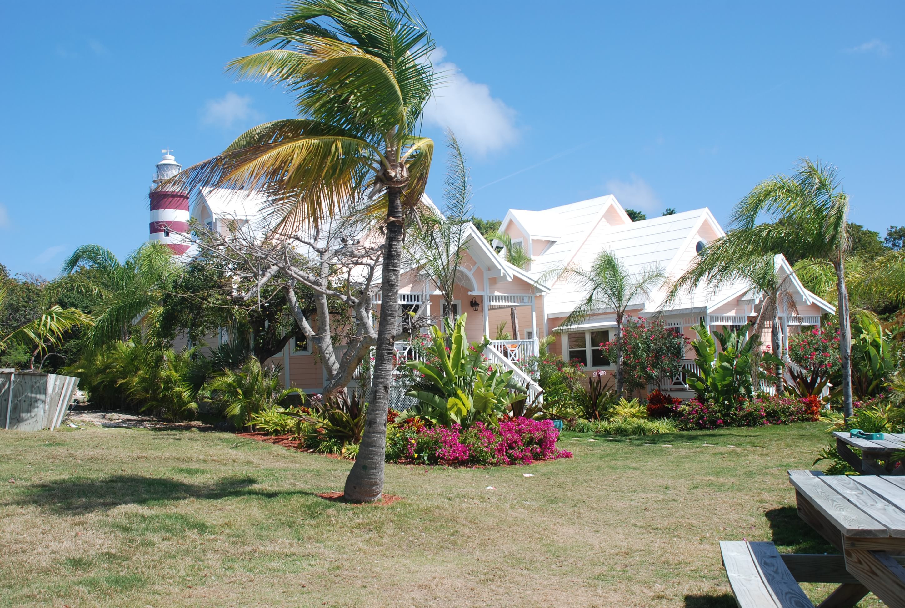
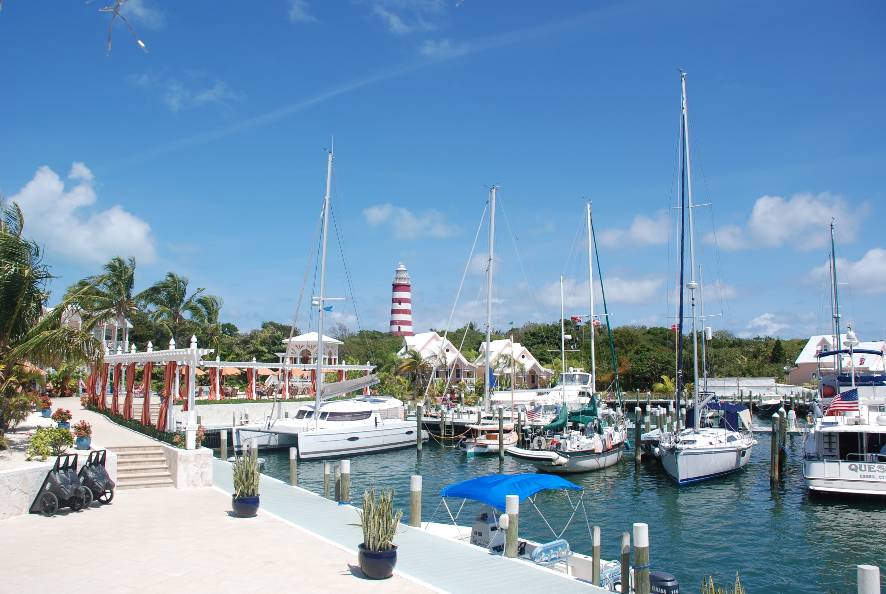
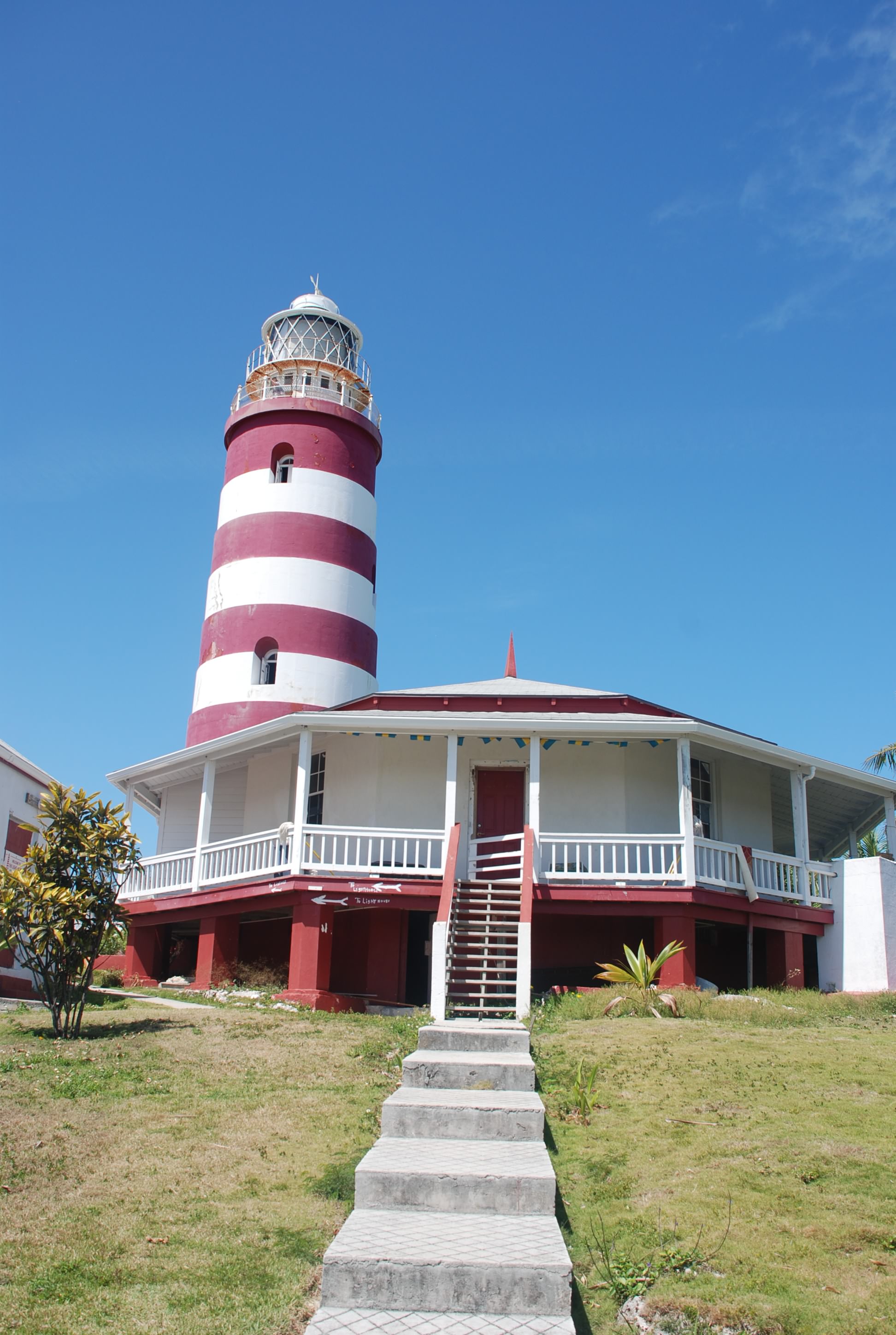
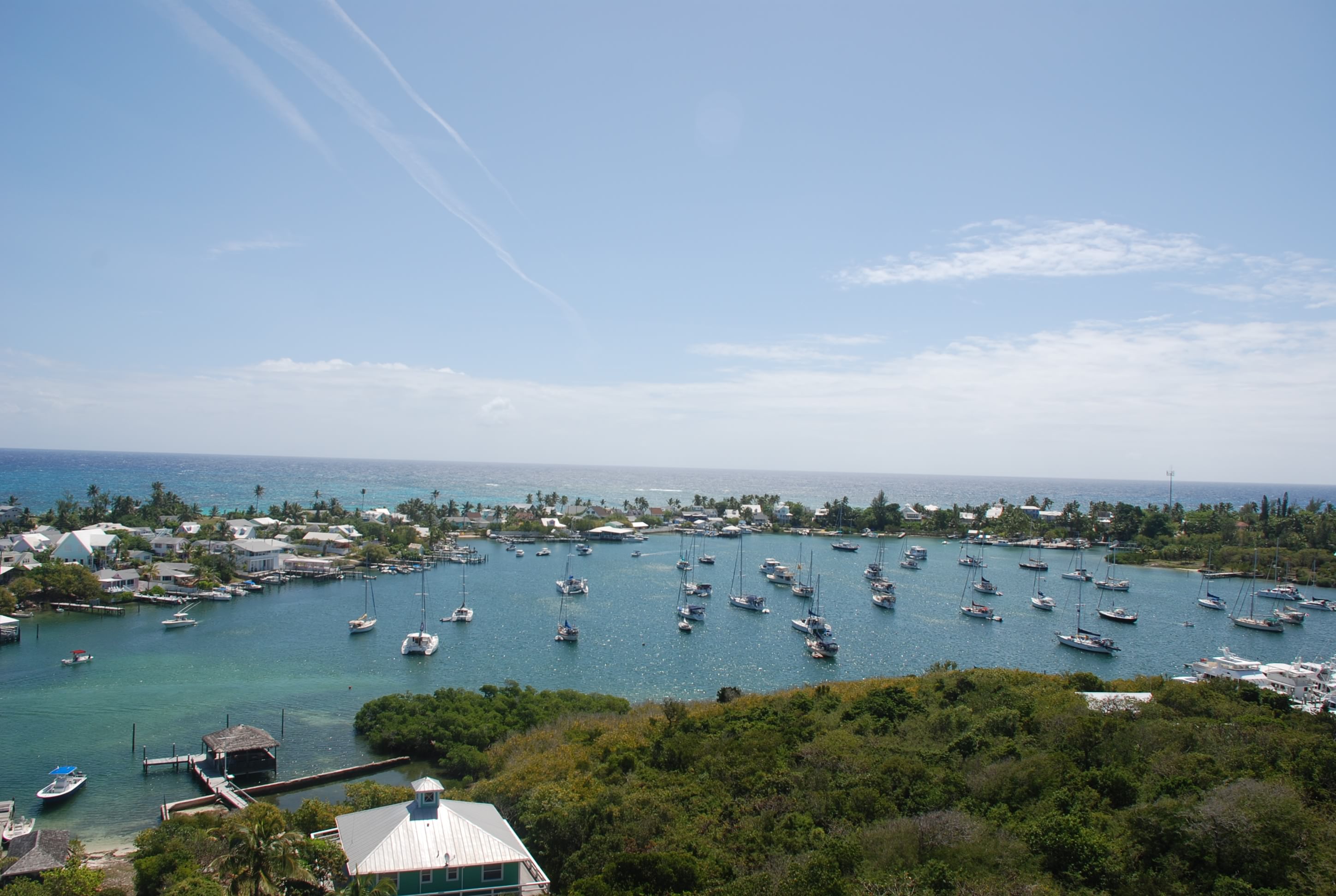
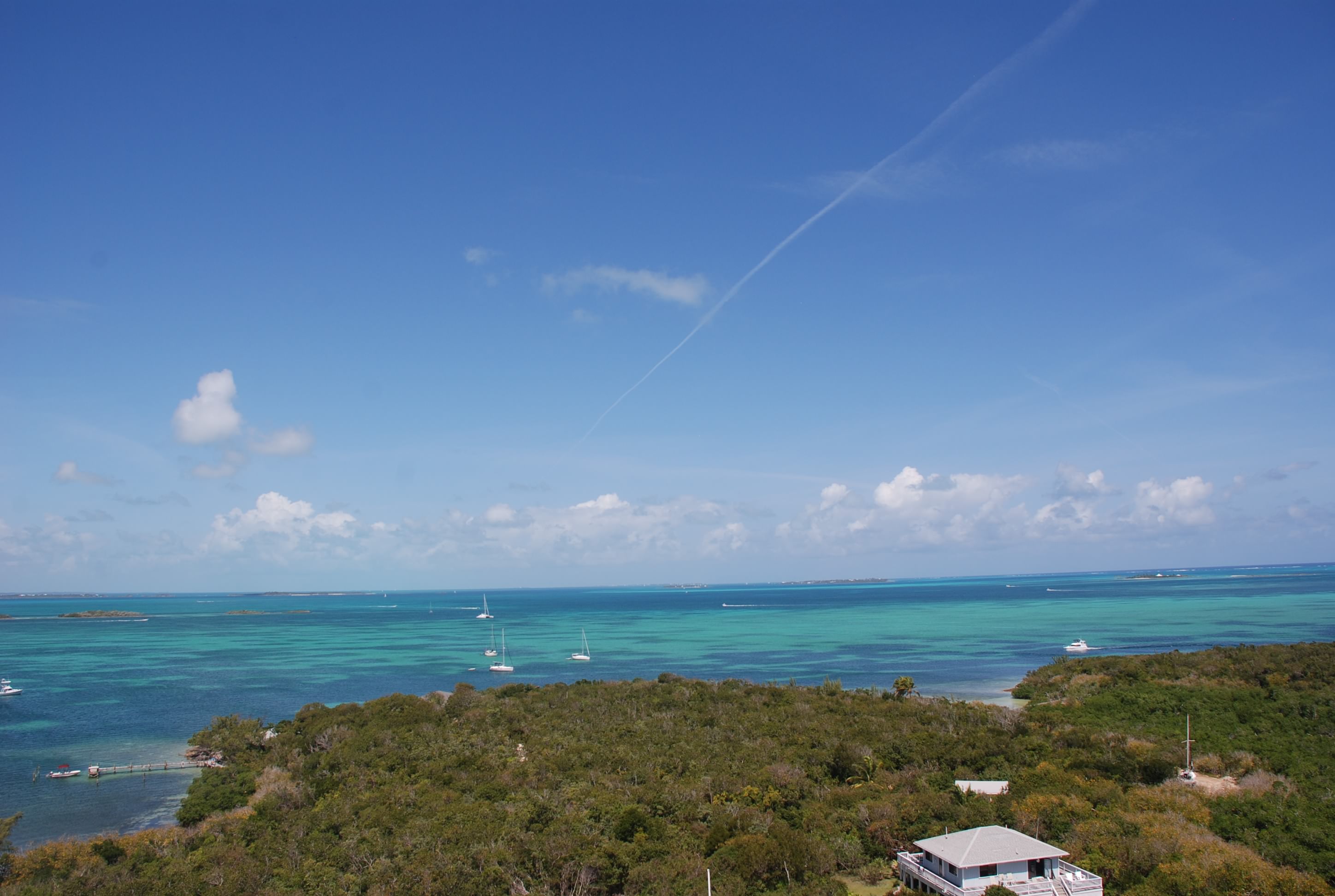
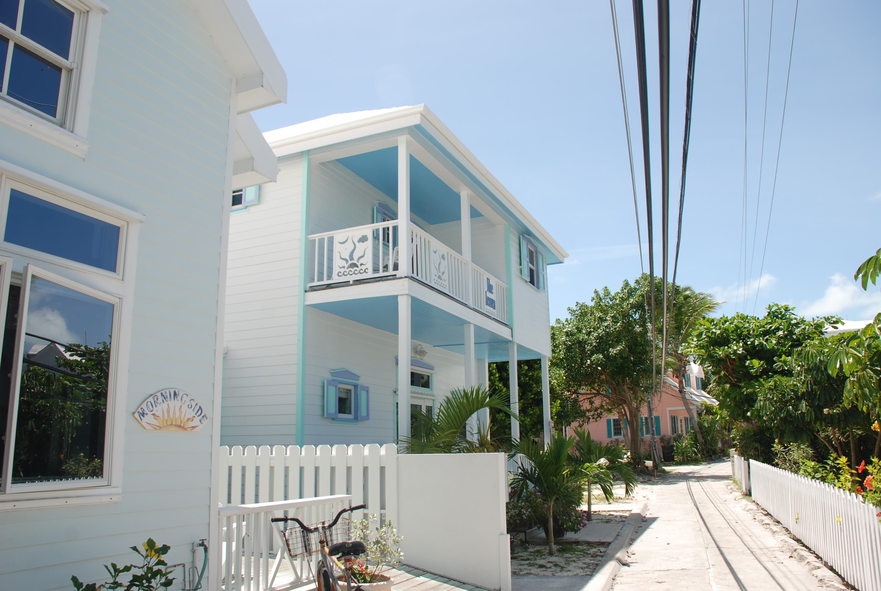
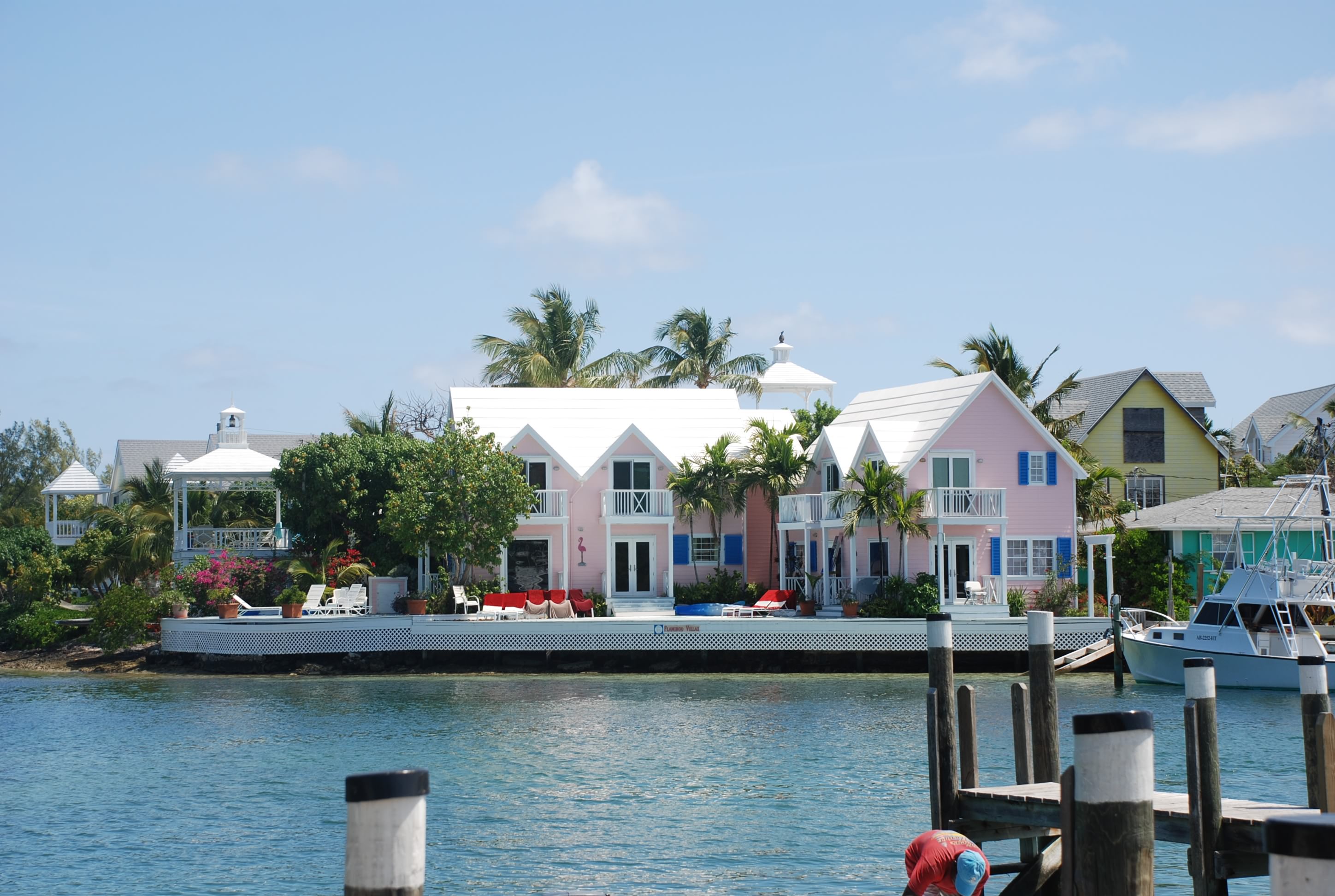
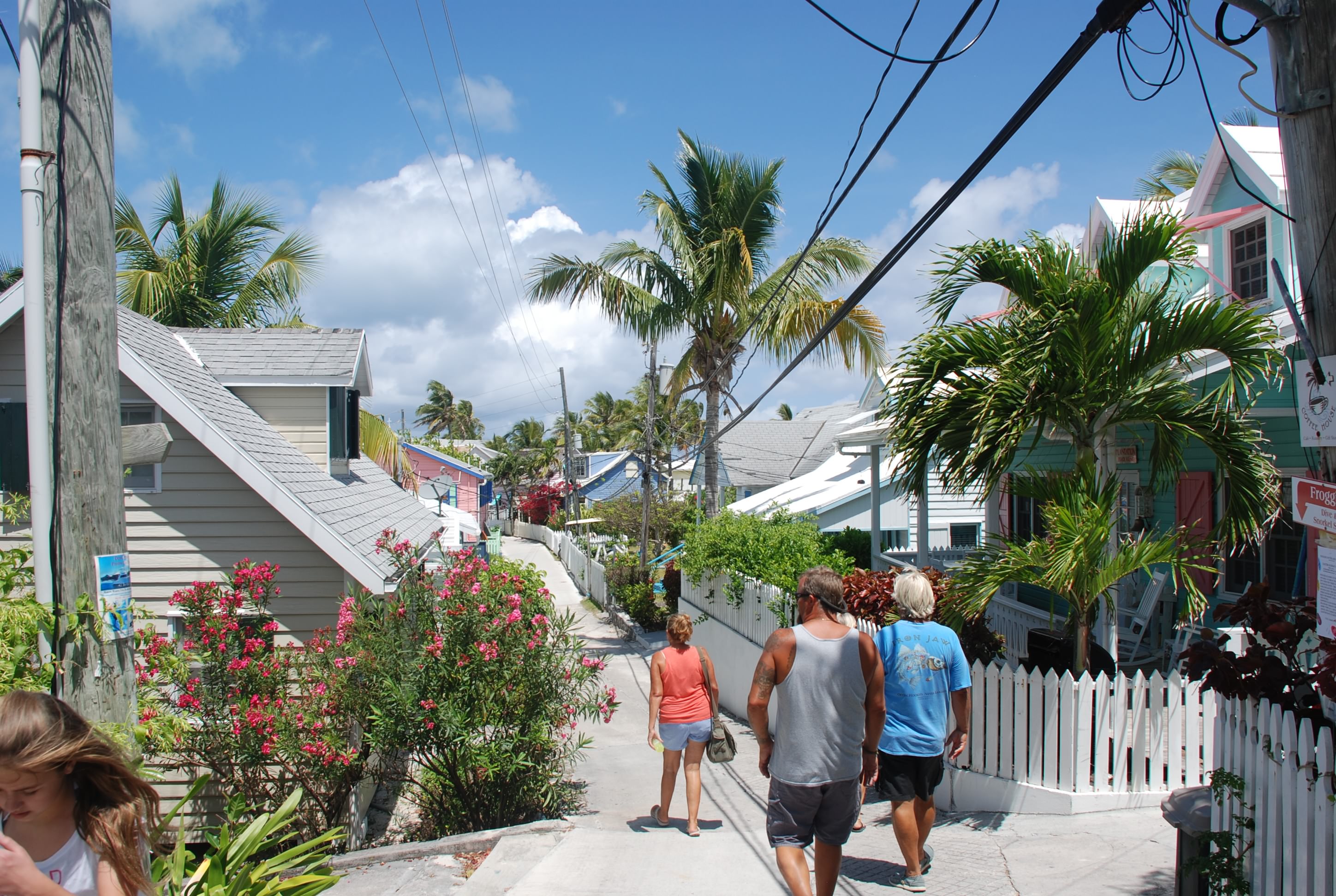
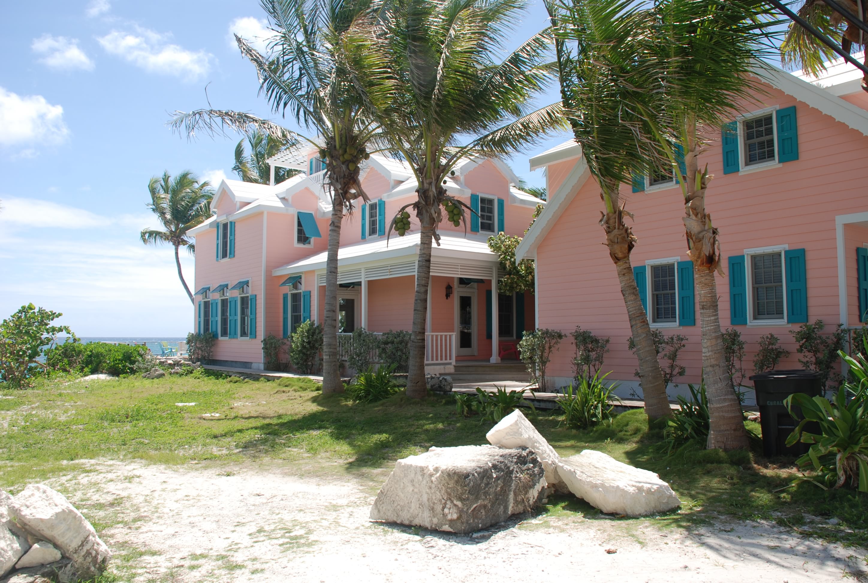
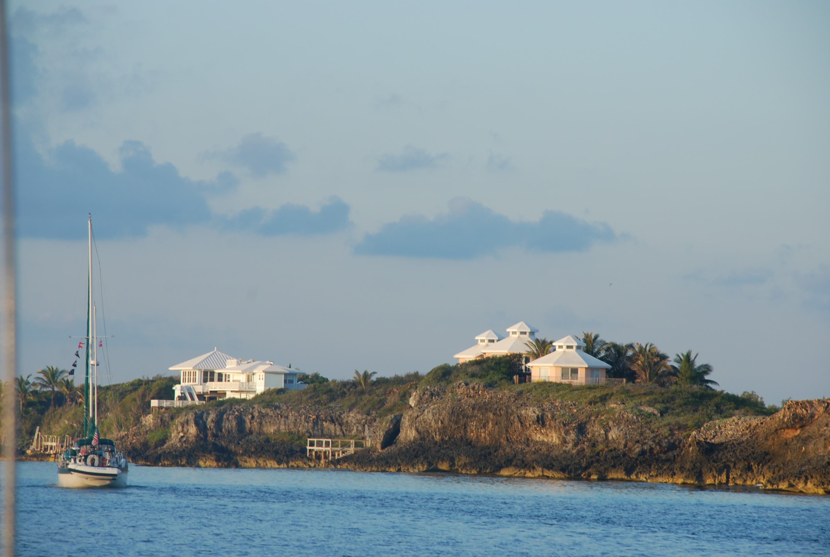
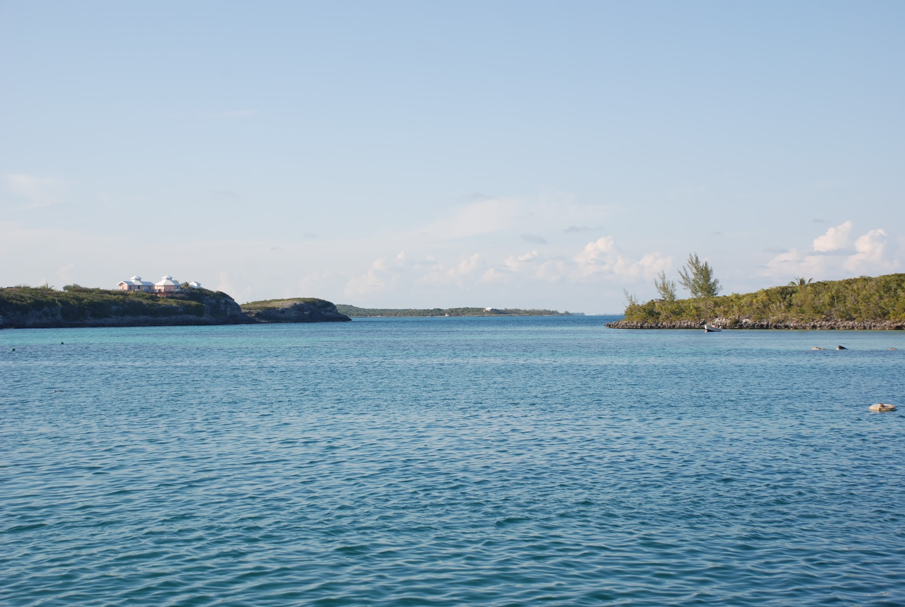
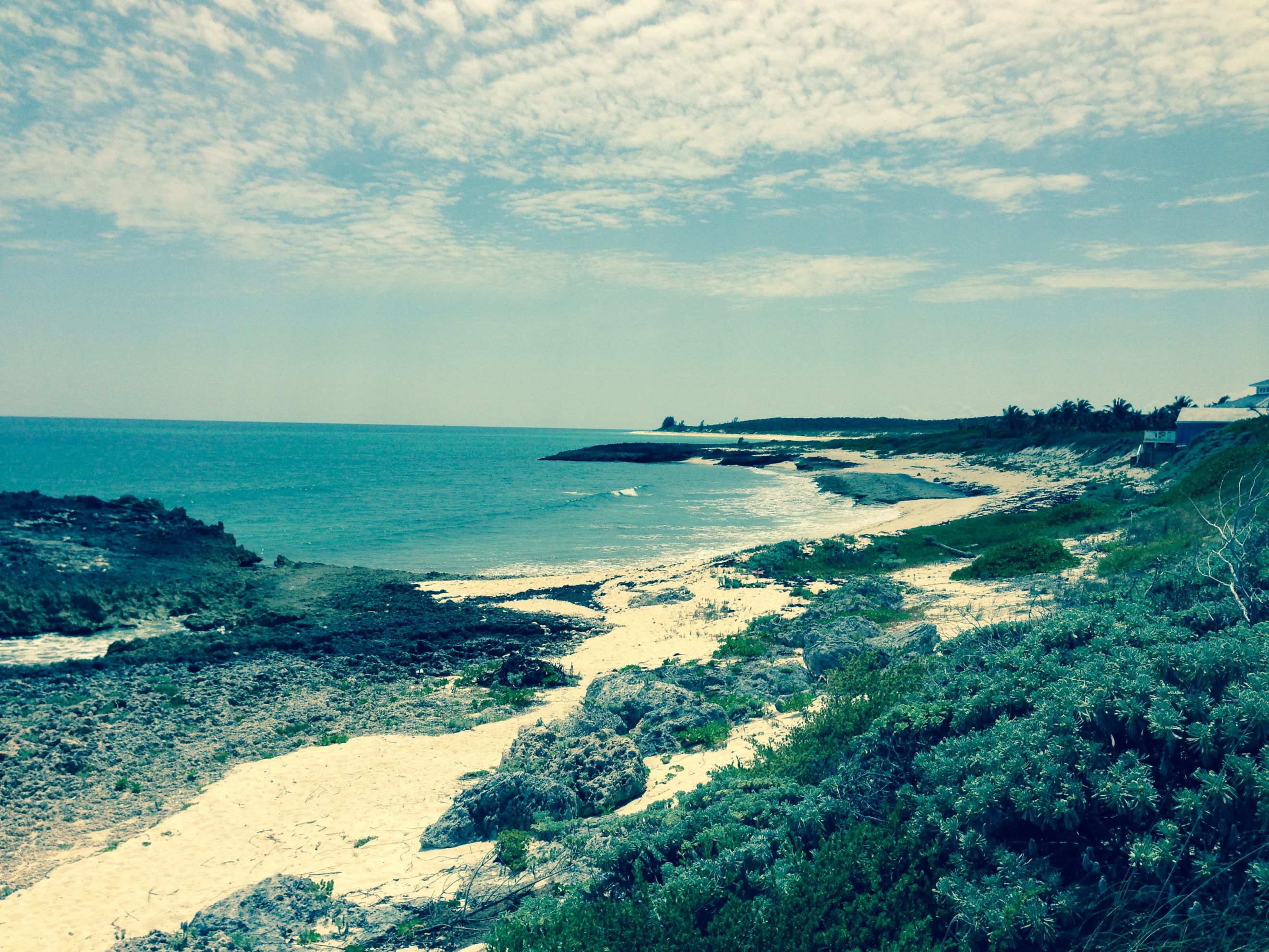
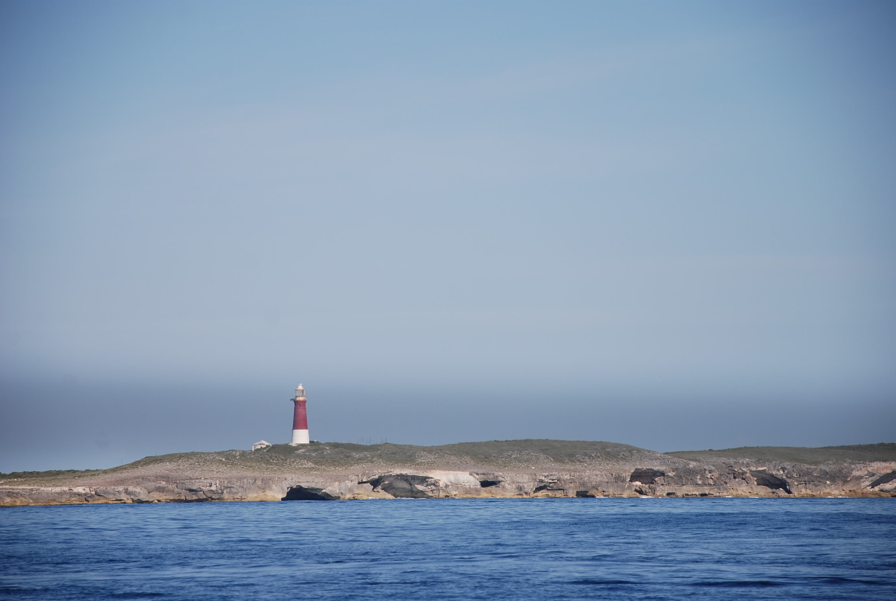
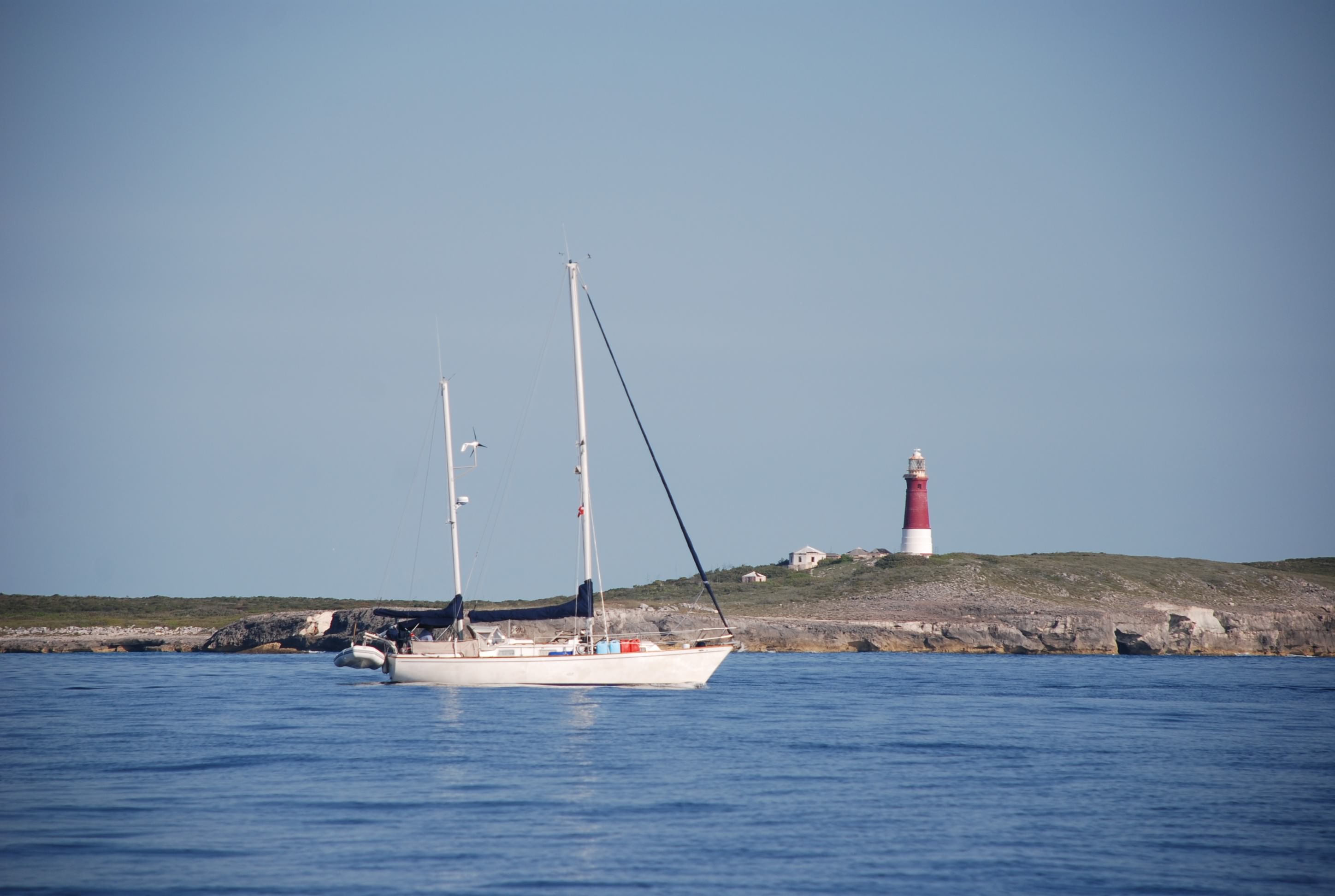
Tahiti Beach, Abacos, Bahamas
Posted by Bill
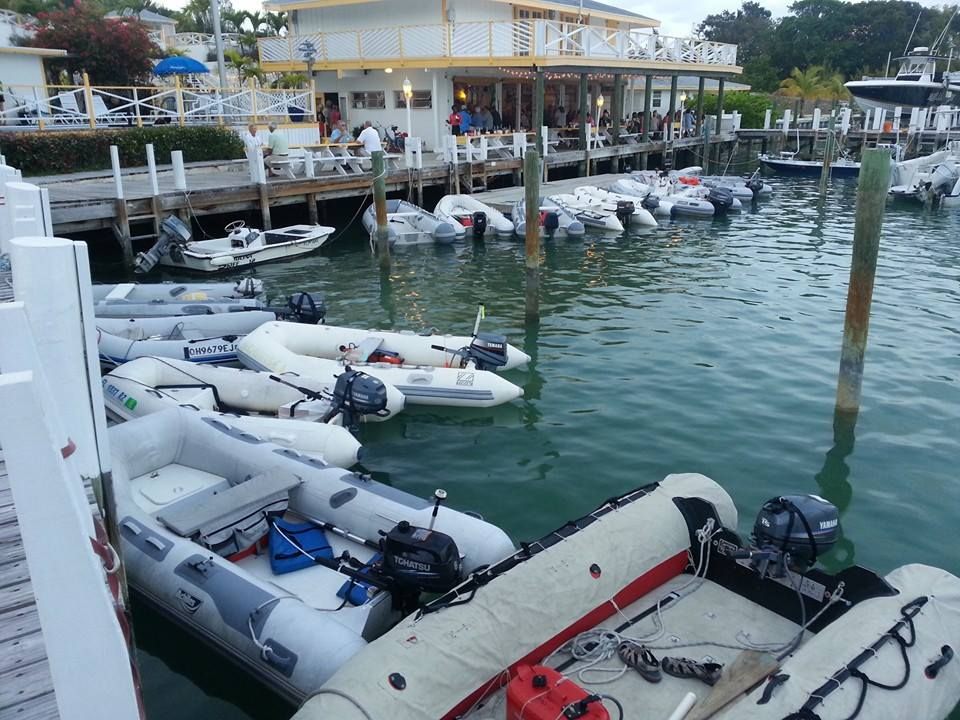
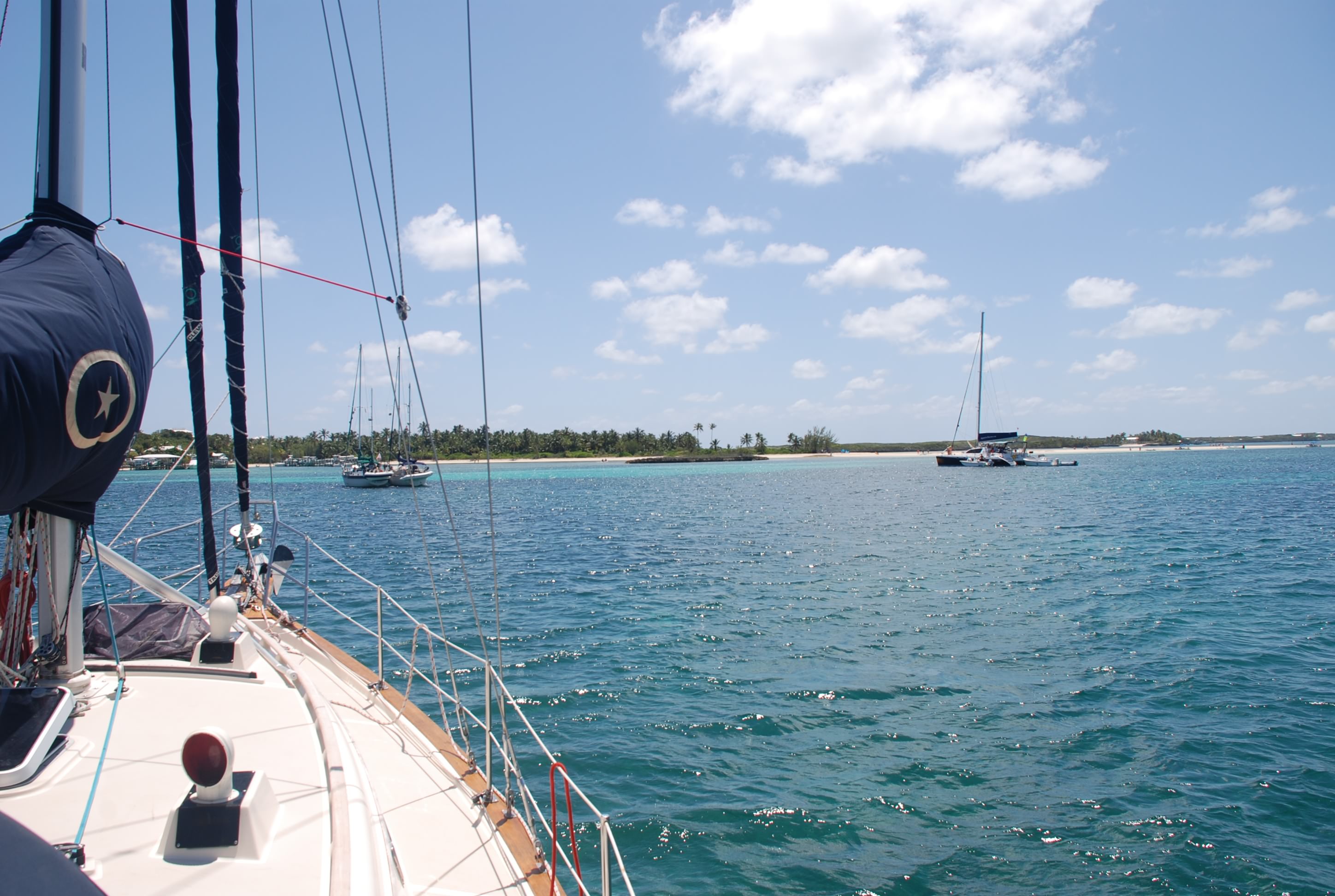
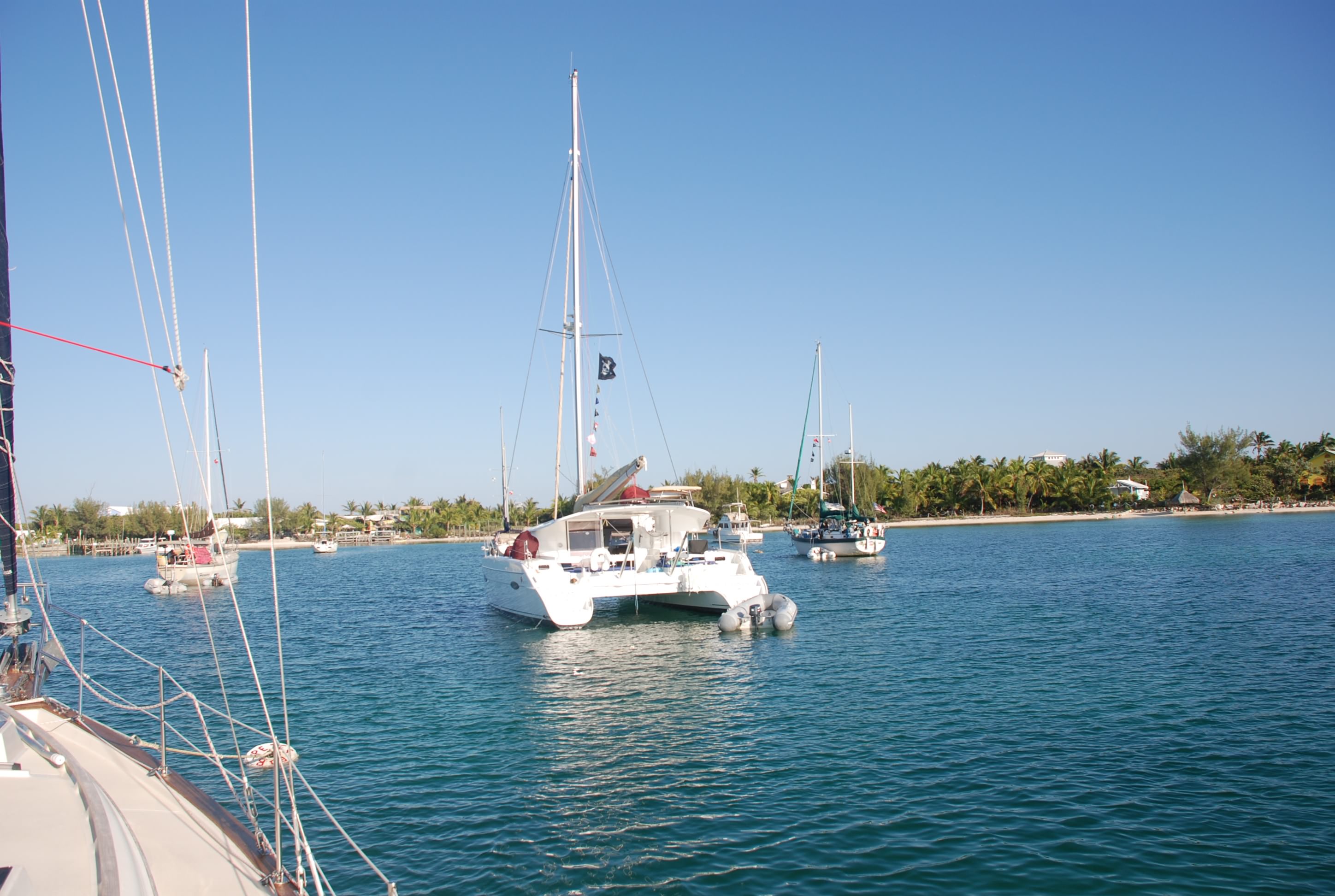
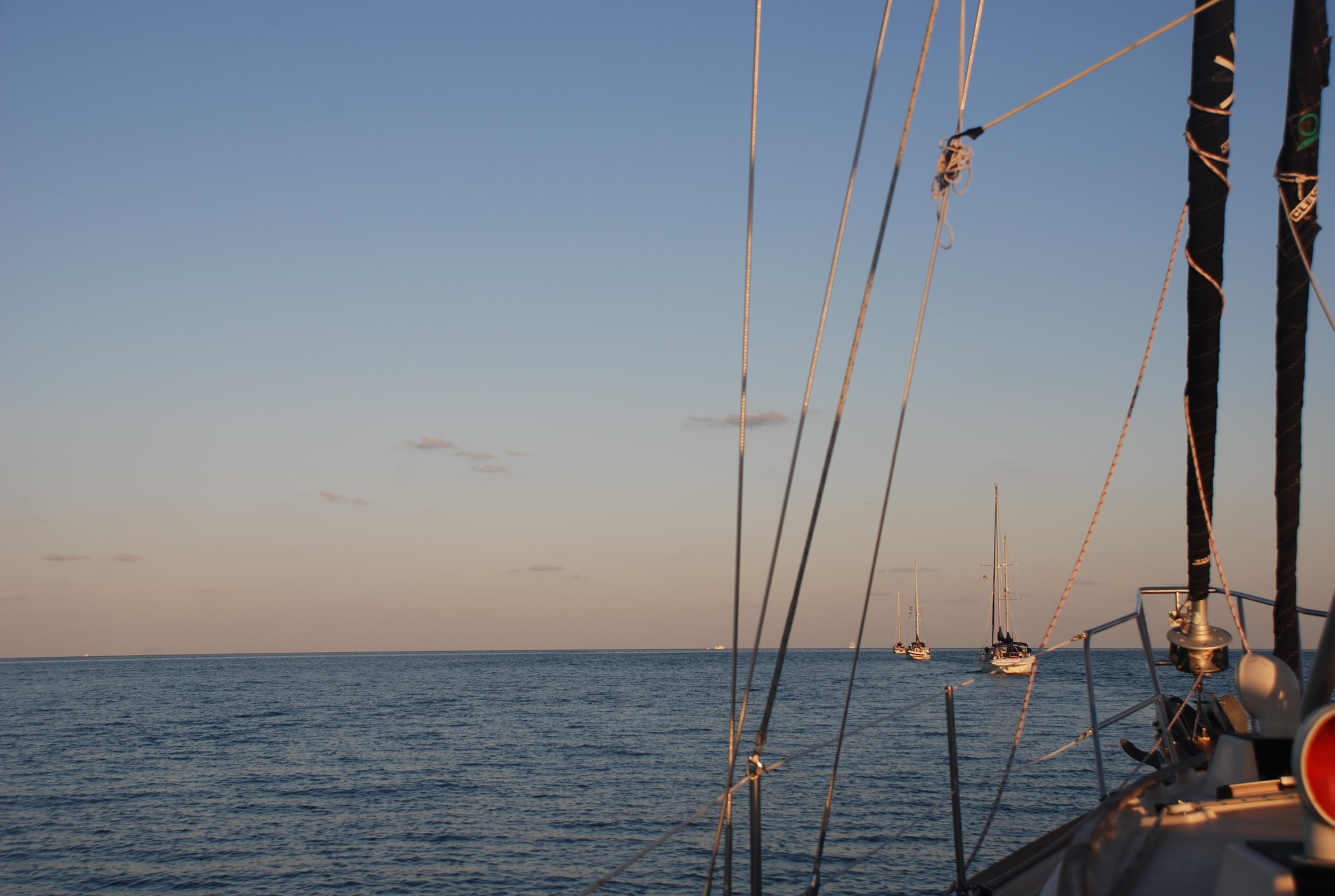
If you are a regular blog follower then you know about the Ass Captain Award. Today we stayed at Tahiti Beach and just hung out. This is a big spring break week and we have been seeing a lot of charter boats from The Moorings and Sunsail. They have bases just north of Tahiti Beach. For those of you that are not familiar with charter boats, they are boats that you rent, usually for a week, with or without a captain, and you sail around getting in as much of the sites as you can before your week is up and you have to go home. We have charter in the British Virgin Islands several times, so we know that the qualification process that proves you are a capable skipper is pretty lax. Consequently, you get people that can barely navigate with a GPS, let alone anchor properly. Few, if any, understand the cruisers world and the proper etiquette that is used among fellow boaters, one of which is giving a respectful distance to other boats at anchor. In 10 feet of water, you usually have out around 70 feet of chain and allow enough room for your boat and the other boats around to swing and have some drag room, in case the wind shifts and your anchor needs to reset.
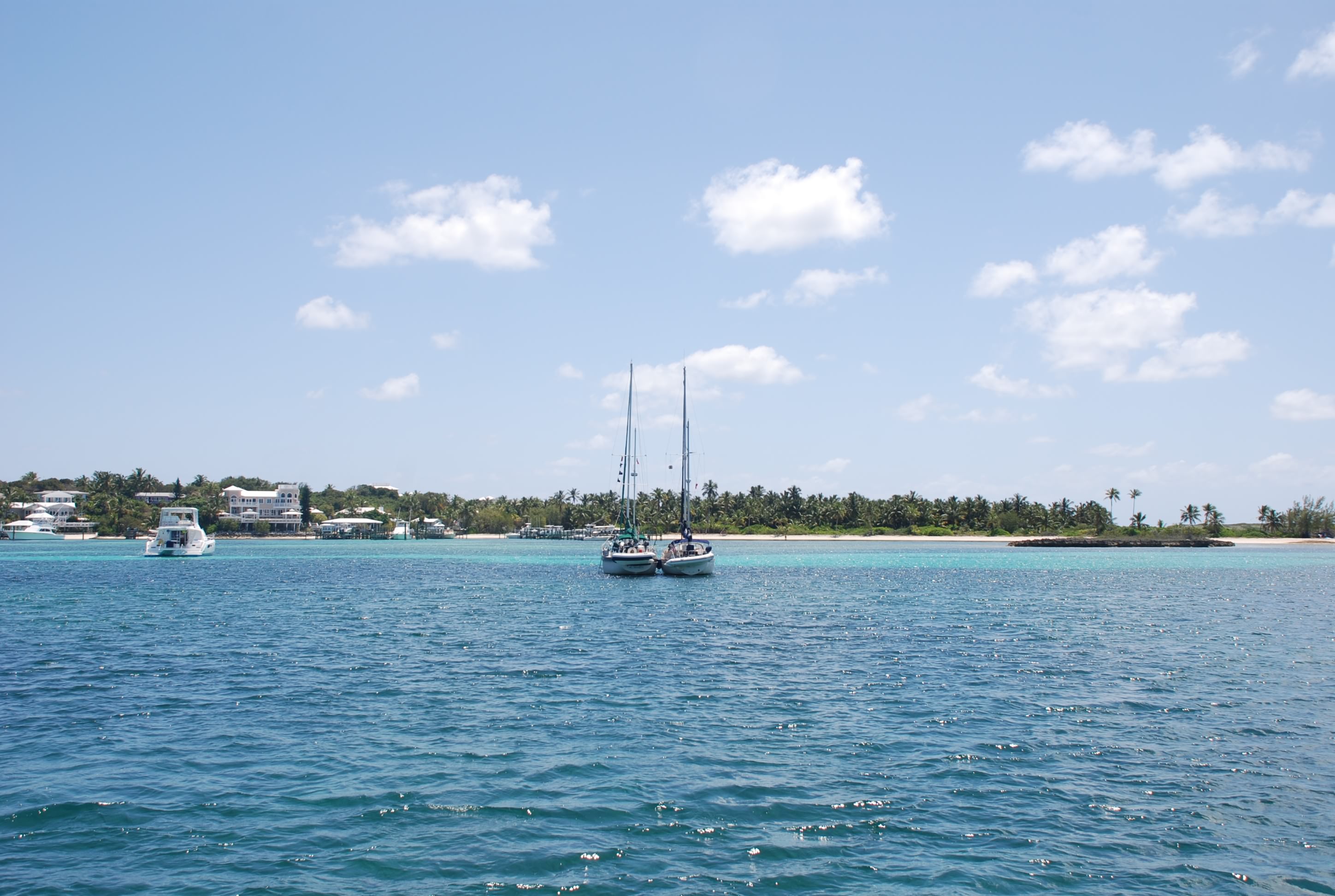
Ass Captain candidate #1: So, this morning a 50 foot catamaran with a Moorings sail cover comes tooling in and decides that the spot 150 feet from our boat is better than any of the other miles of empty anchorage around us. He promptly dumps a pile of chain on top of the anchor, did not back down to set it, but did snorkel and dive the anchor to make sure it was set. I stood on deck as they approached giving them the “you are anchoring pretty close and should consider moving further away” stare, which will usually work with someone who has cruising experience. No such luck. 9 people pile into a dinghy from the catamaran and charge off to the beach.
Ass Captain candidate #2: A second 50 foot catamaran from the moorings comes in an hour later and anchors between candidate #1 and us. As he slows to drop anchor, I shout “my anchor is right here”, pointing 20 feet to his right. He yells back “thank you” and drops a pile of chain 20 feet from our anchor, doesn’t back down and doesn’t dive the anchor. Shortly 9 people pile into the dinghy and go ashore. We pull up anchor and move…they stare at us like “why did they move?”
Ass Captain candidate #3: The 2 other boats we are traveling with will usually have one person anchor, and then the other one “rafts off” the other, tying the 2 boats together. When you do this you have to be careful to offset the rigging (masts and support wires) because if the boats rock, they will get caught in the rigging. About mid-morning, a 40 foot power boat comes within 50 feet of all of our boats at full speed, throwing a 3-3.5 foot wake on our rafted friends. Just as he passes them, he realizes that he is going to slam them and slows down to a no-wake speed…or did he slow just to watch the slamming? The slamming did occur and buckled the 2 boats as they rolled violently back and forth, slamming in to each other…no apologies or even a wave of hand. This usually makes a huge mess inside a boat.
Ass Captain candidate #4: A charter catamaran with 8-12 college kids is anchored 500 feet to the right of our rafted friends. They have a dinghy and an 18 foot center console power boat along with their sailboat. Despite the really loud and bad music, they are pretty good neighbors. At 3 in the morning, the power boat comes in from the north at full speed, runs past their sailboat, and runs up on to the shoal end of Tahiti beach. For an hour, they run the engine full blast in reverse to try and get the boat off of the shoal, which is becoming beach as the tide falls. This wakes everyone in the anchorage. They give up, the guy driving the boat swims back to the sailboat, and they get the boat back after the tide comes back up in mid-morning.
All of this occurs in a 12 hour period! I have read that the cruising community is not fond of the charterers, and I now have first hand experience with why.
So I turn it over to you readers….who wins the award? Please submit your comments.