Author Archives: bwehmer

Damn it’s cold!

11/2/14
Southport NC
Posted by Bill

Yesterday the weather came in with a vengeance…hail, pouring rain, and wind all day. We didn’t let that get us down and we walked 2+ miles going to lunch in town, and also getting a document printed. By the time we made it back to the boat our pants and shoes were completely soaked. Not the better side of living on a boat.

Today, we had sunny skies but highs only in the low 50s and lots of wind. We walked to breakfast in town and then along the waterfront. We ran into this guy with a OSU hat on and struck up a conversation with him and his wife. They were from Dublin, Ohio and moved here 2 years ago. They told us about their cool subdivision and how much they loved living here. The subdivision was a little over a mile from our marina and the waterfront downtown, and it was composed of new build construction cottages, and we decided to go check it out. It turned out to be really nice…so nice we are going to stay an extra day here to do more due diligence.

The marina holds a session every day at 6PM that talks about the weather for the next 3-4 days, passage planning for ocean passages from the Cape Fear River, and also conditions in the ICW going south to Savannah GA. The ICW talk scared the crap out of us. There are many sections that are so shallow that they can only be attempted during high tide. That’s going to put a difficult spin on passage planning. One couple in the briefing said that they used the ICW in the spring and it was so badly shoaled in some areas, that they are going to do all ocean passages and never use the ICW again…wow!

After the briefing we walked to dinner and froze our asses off. The locals told us that this is as cold as it ever gets during the year and everyone is complaining that it has hit so soon. Good news is that it will be in the 70s again in a few days. Glad we have heat on the boat.

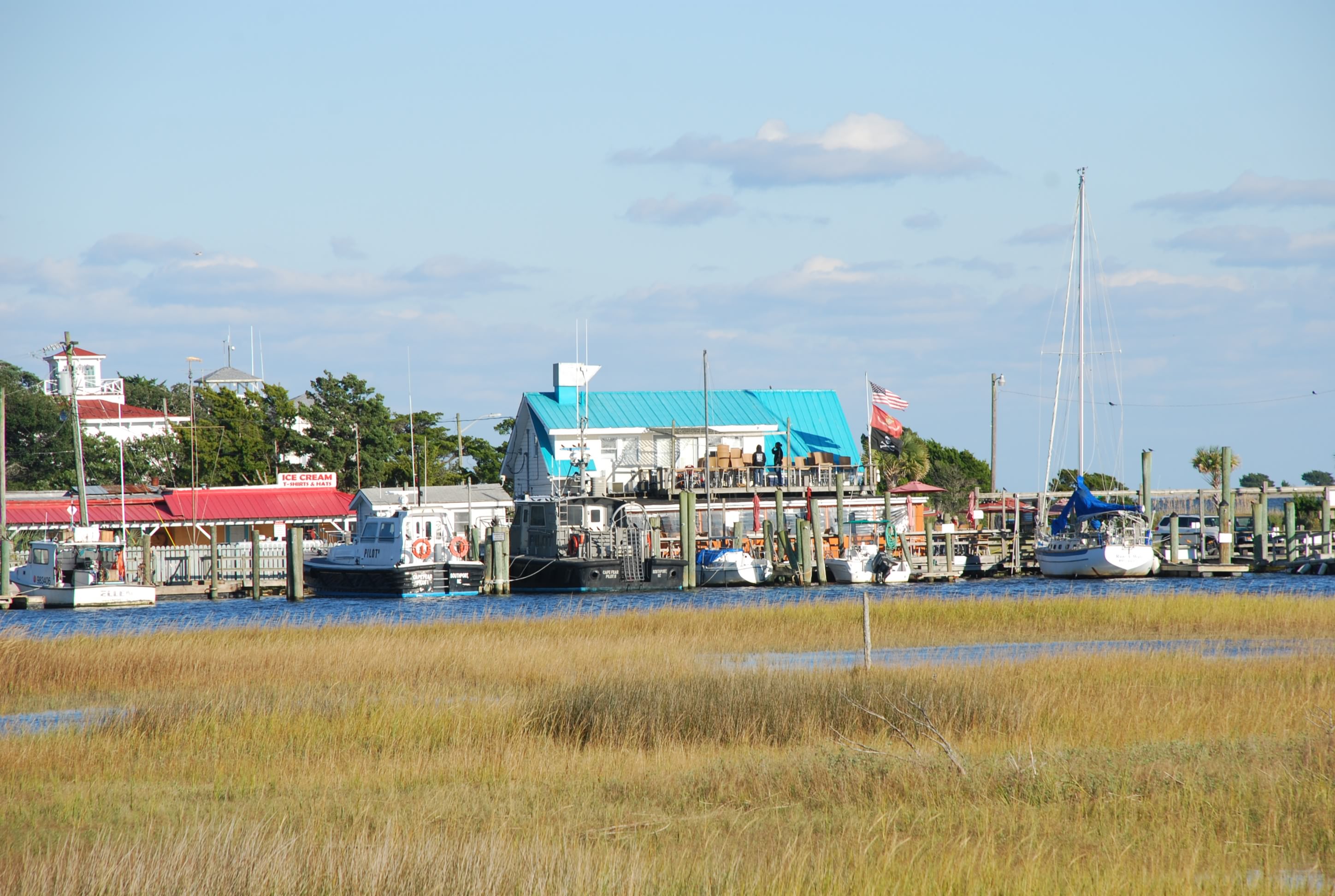
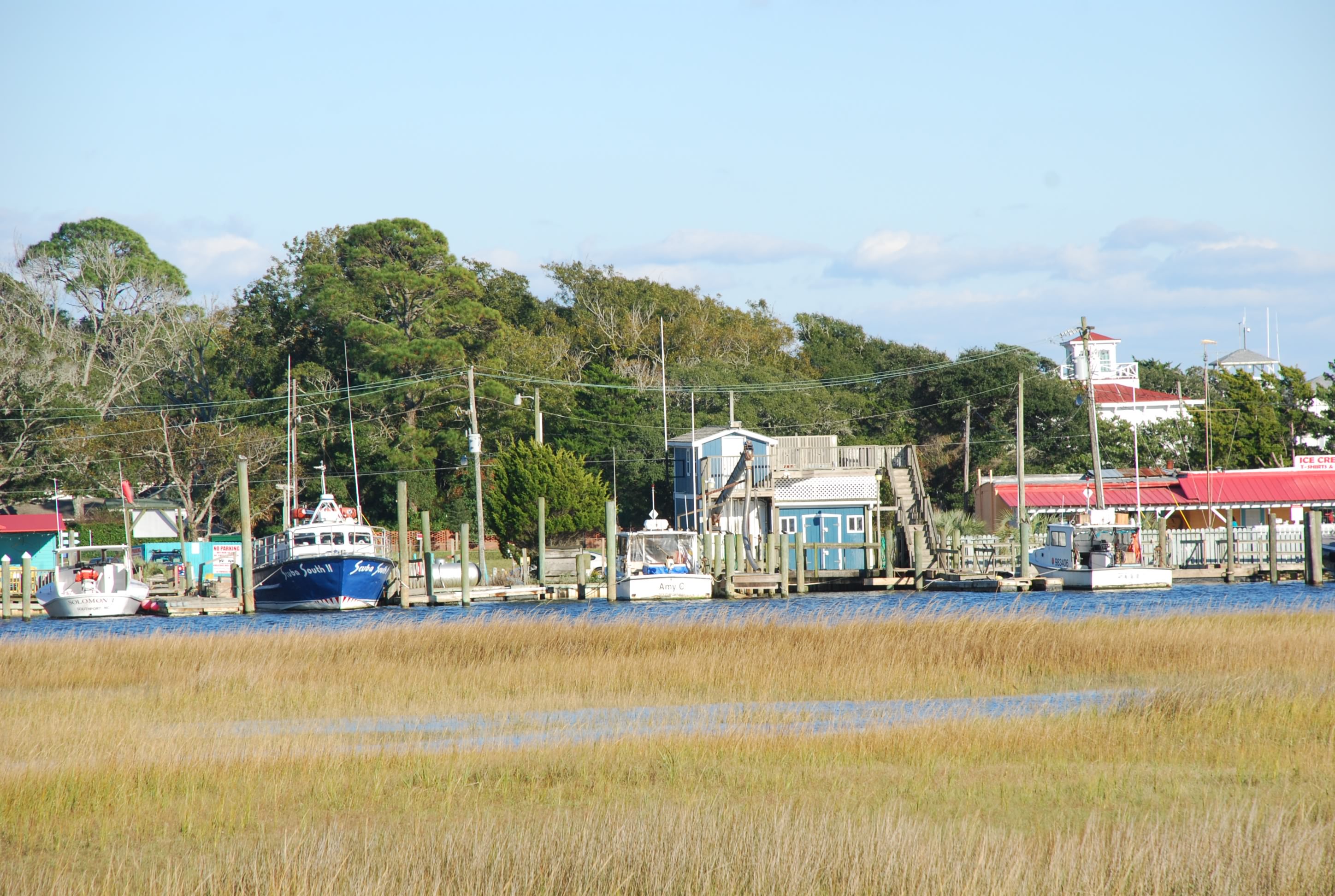
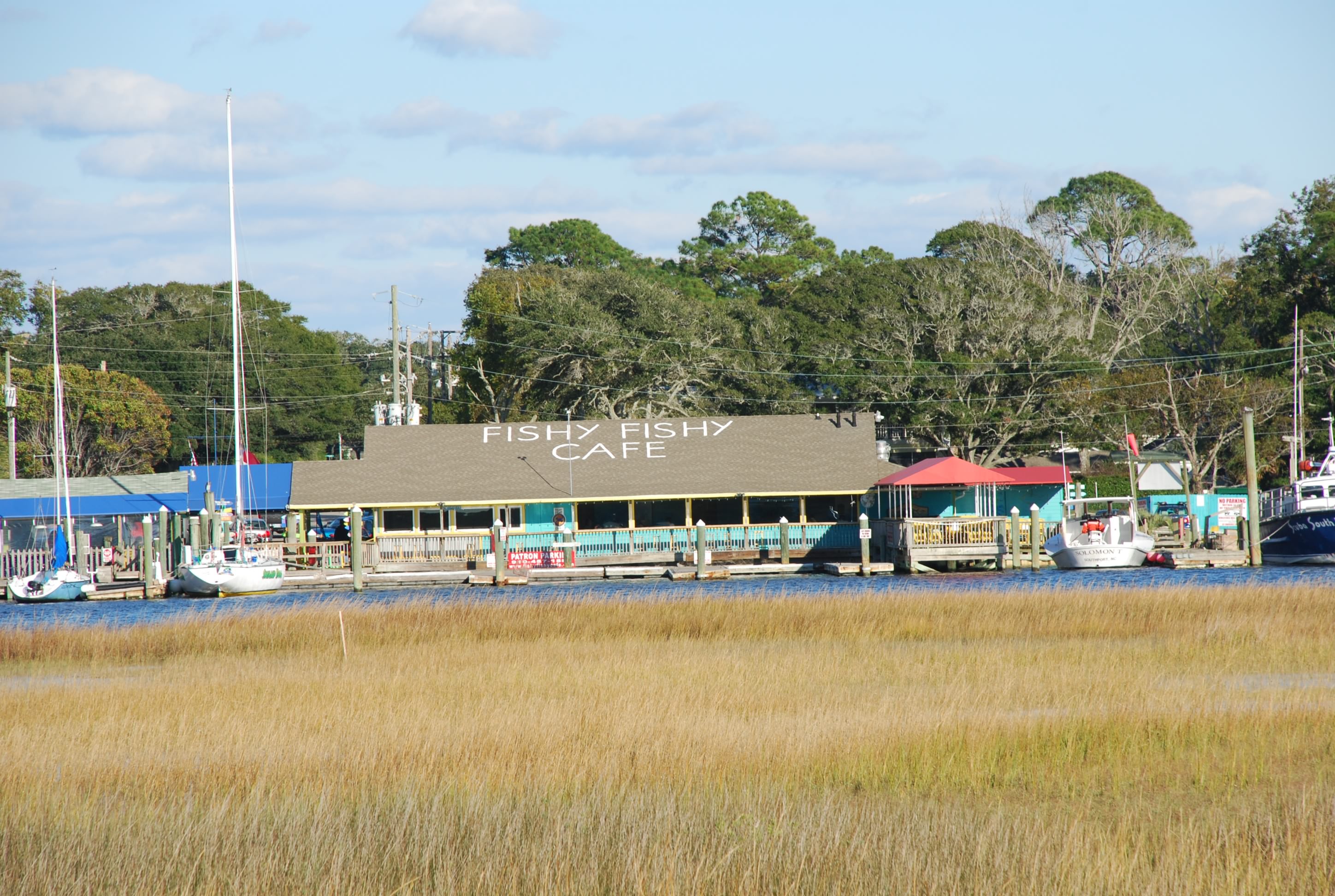
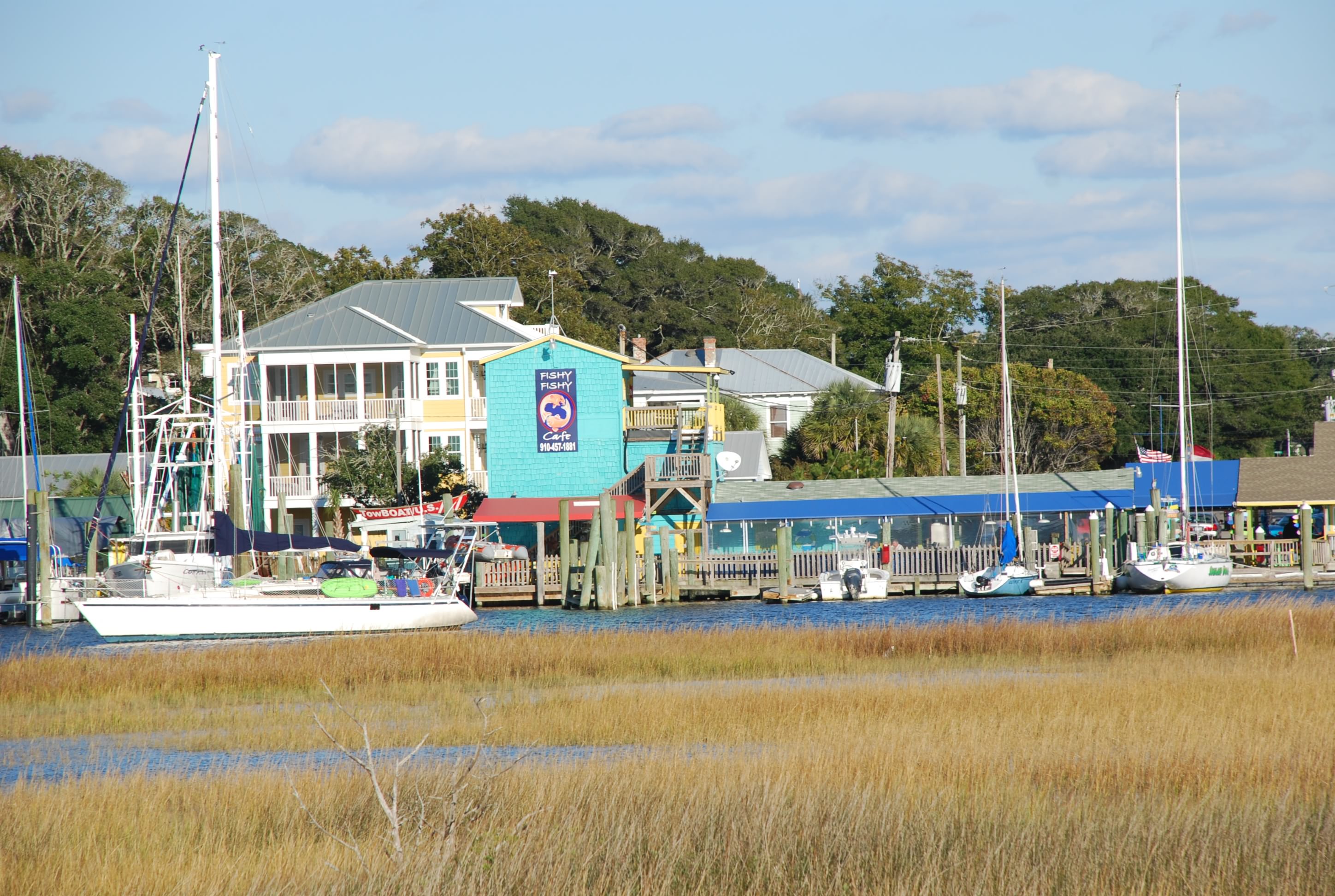
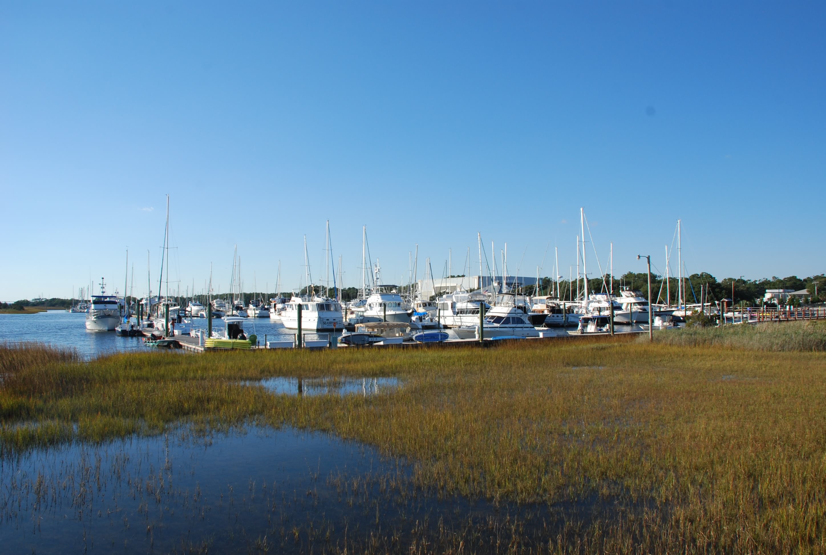
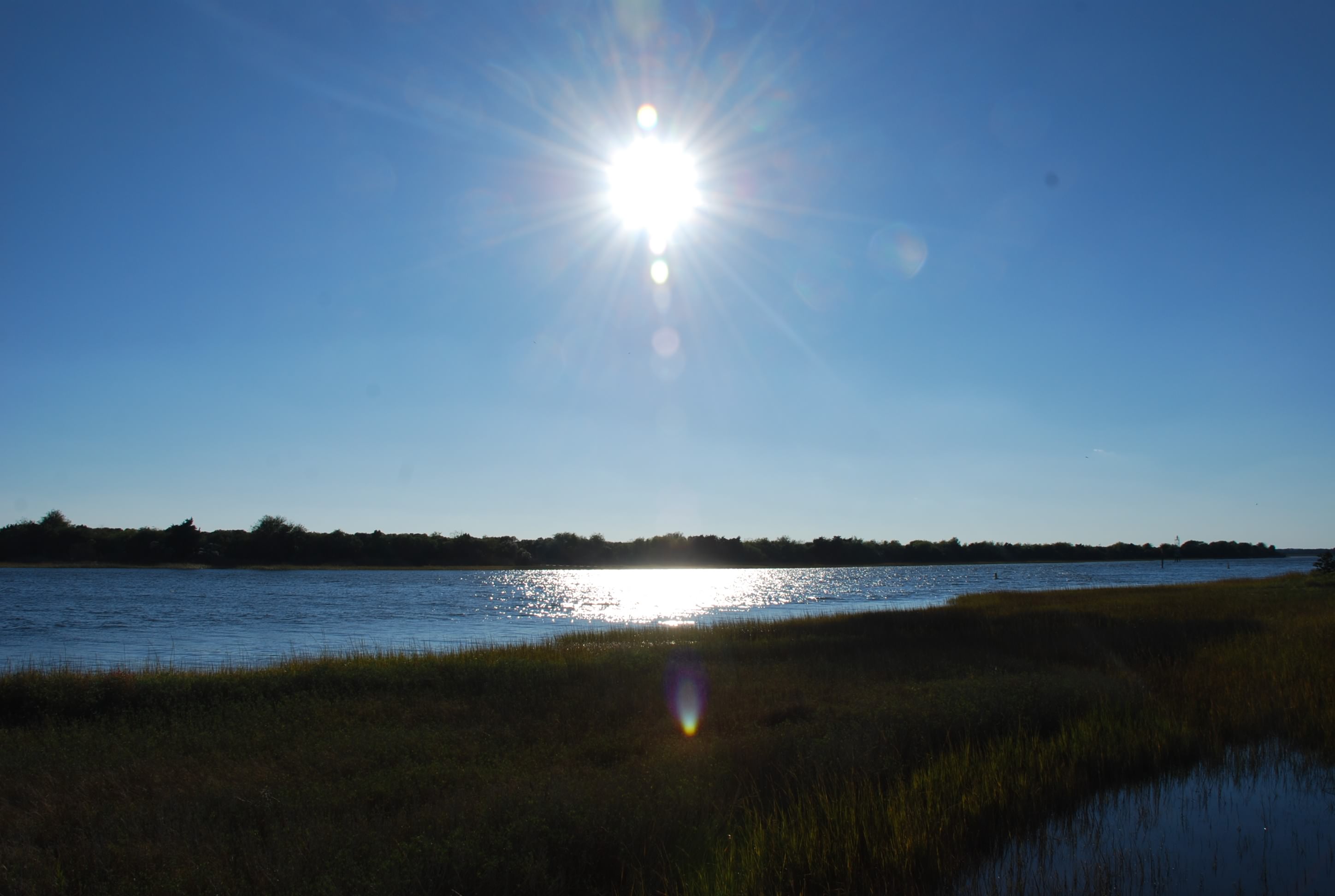
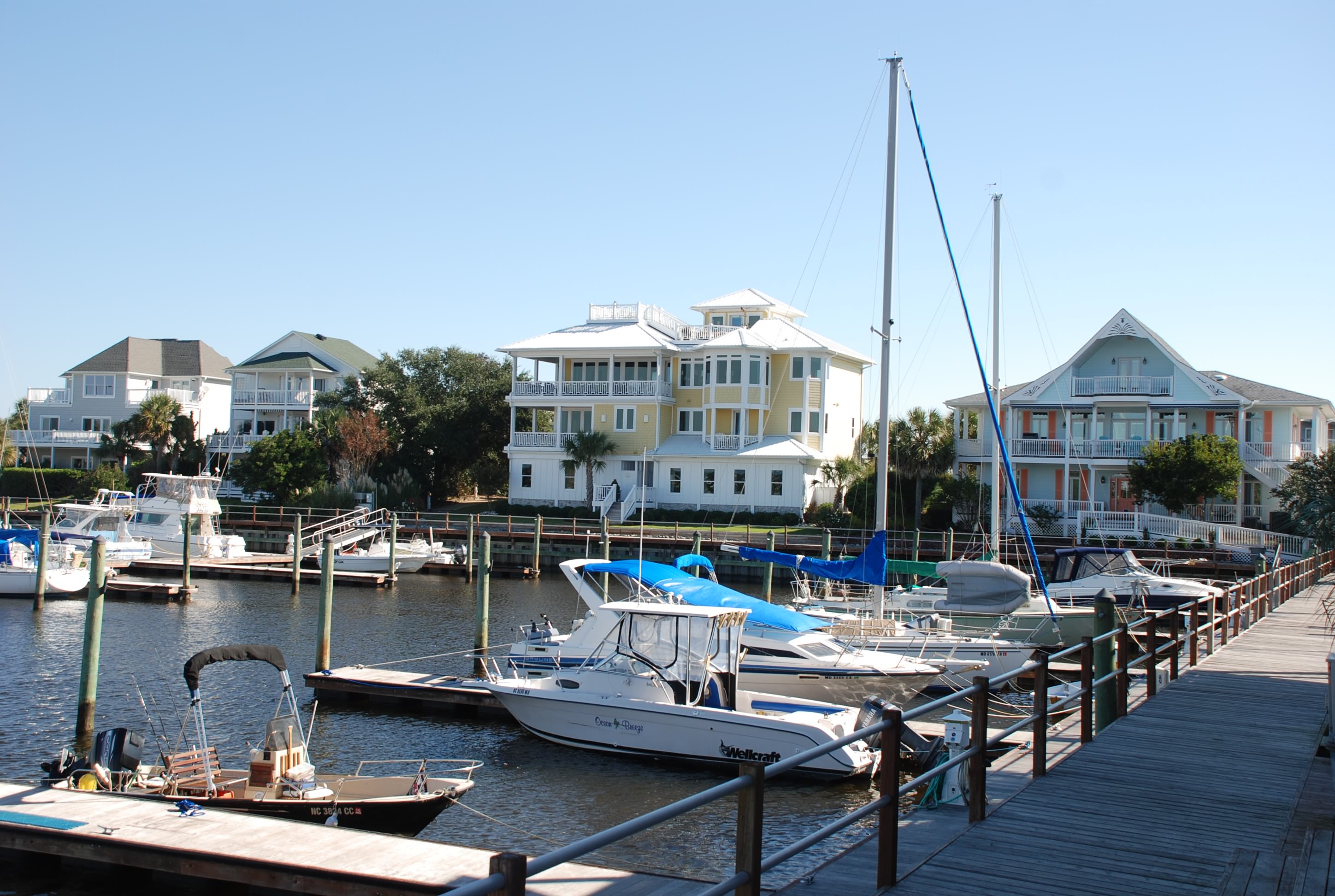
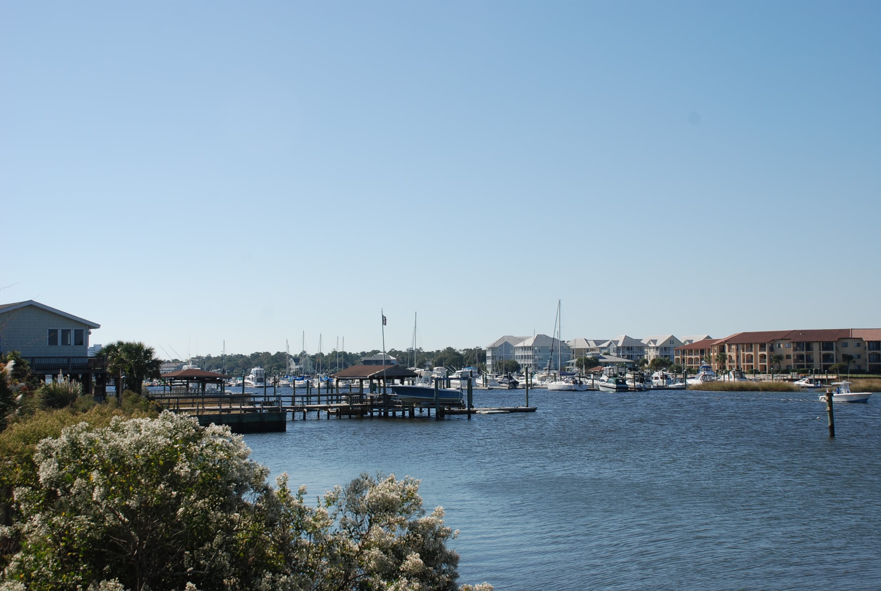
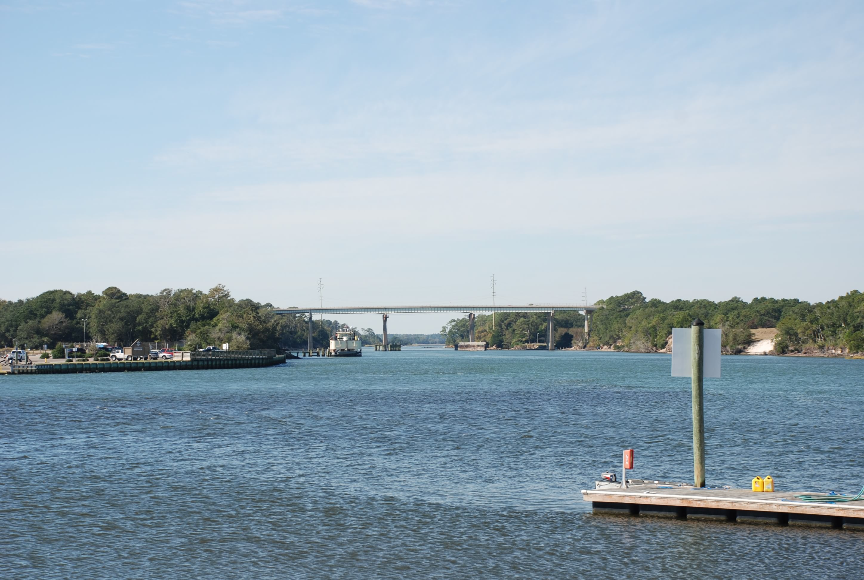
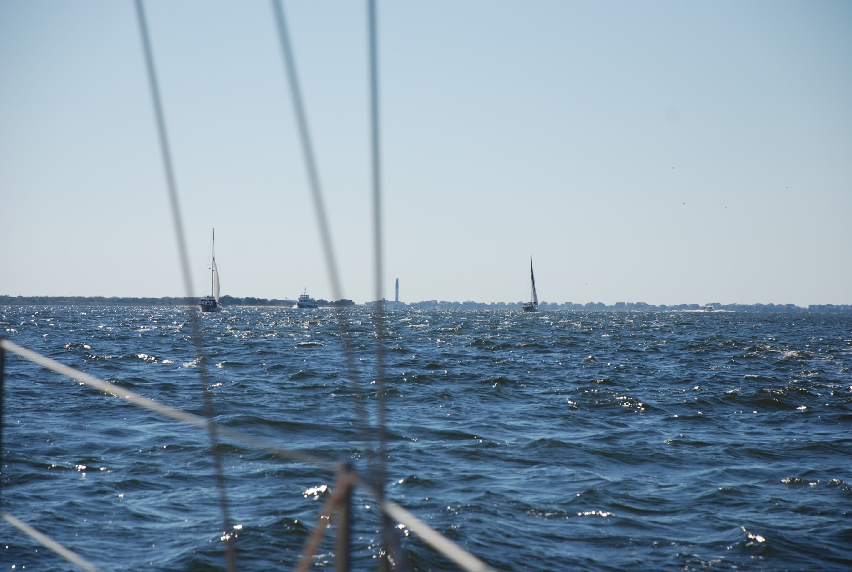
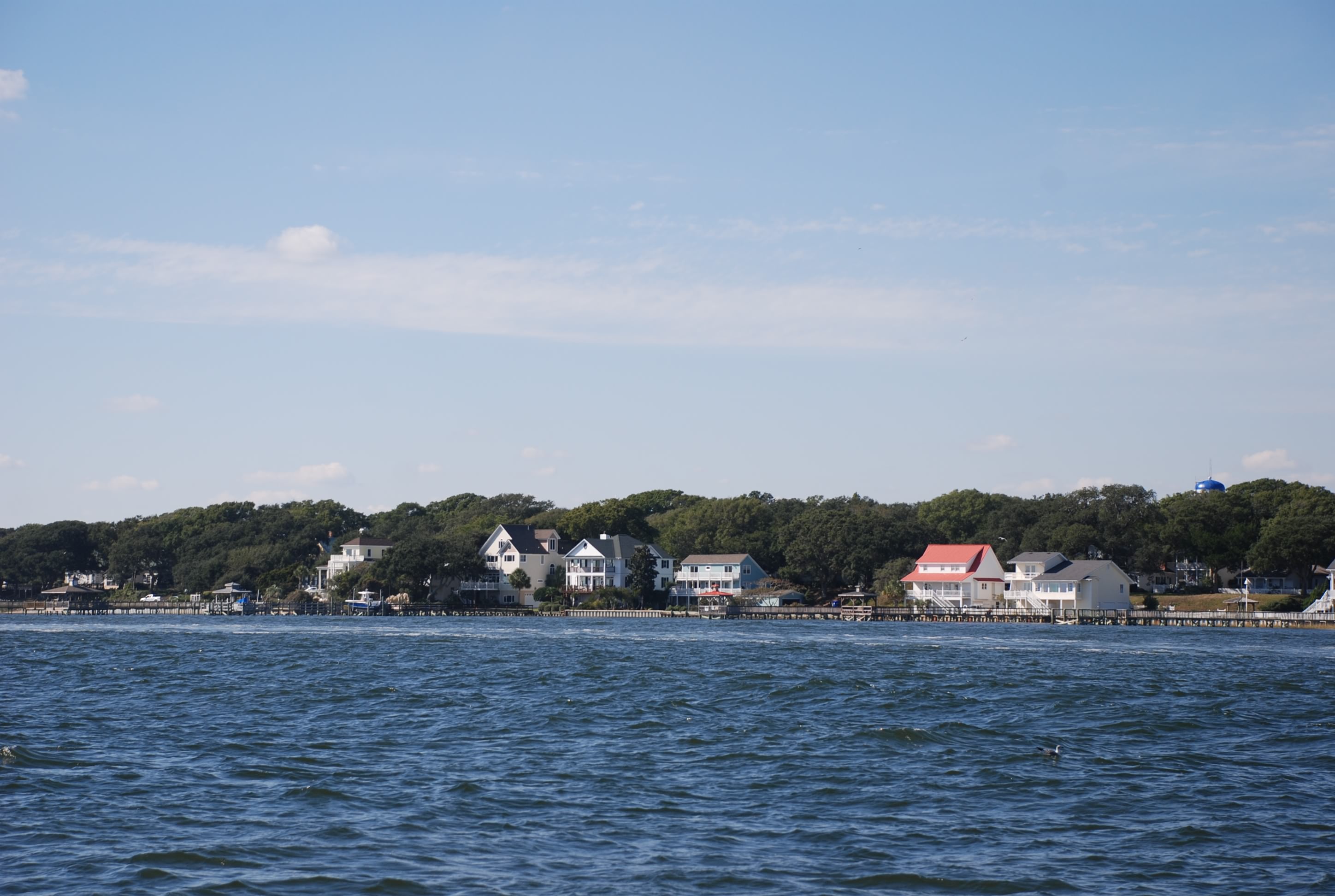
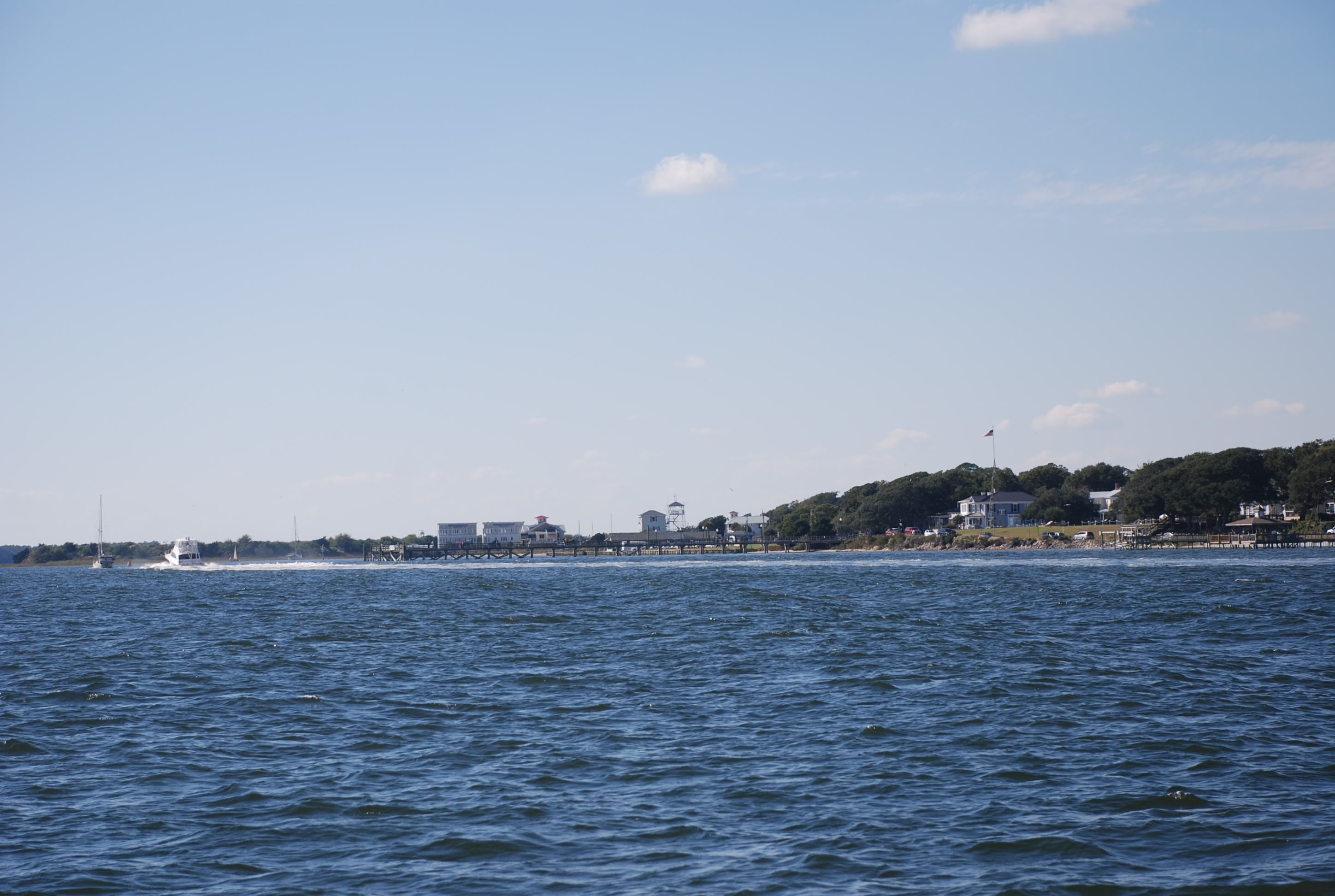
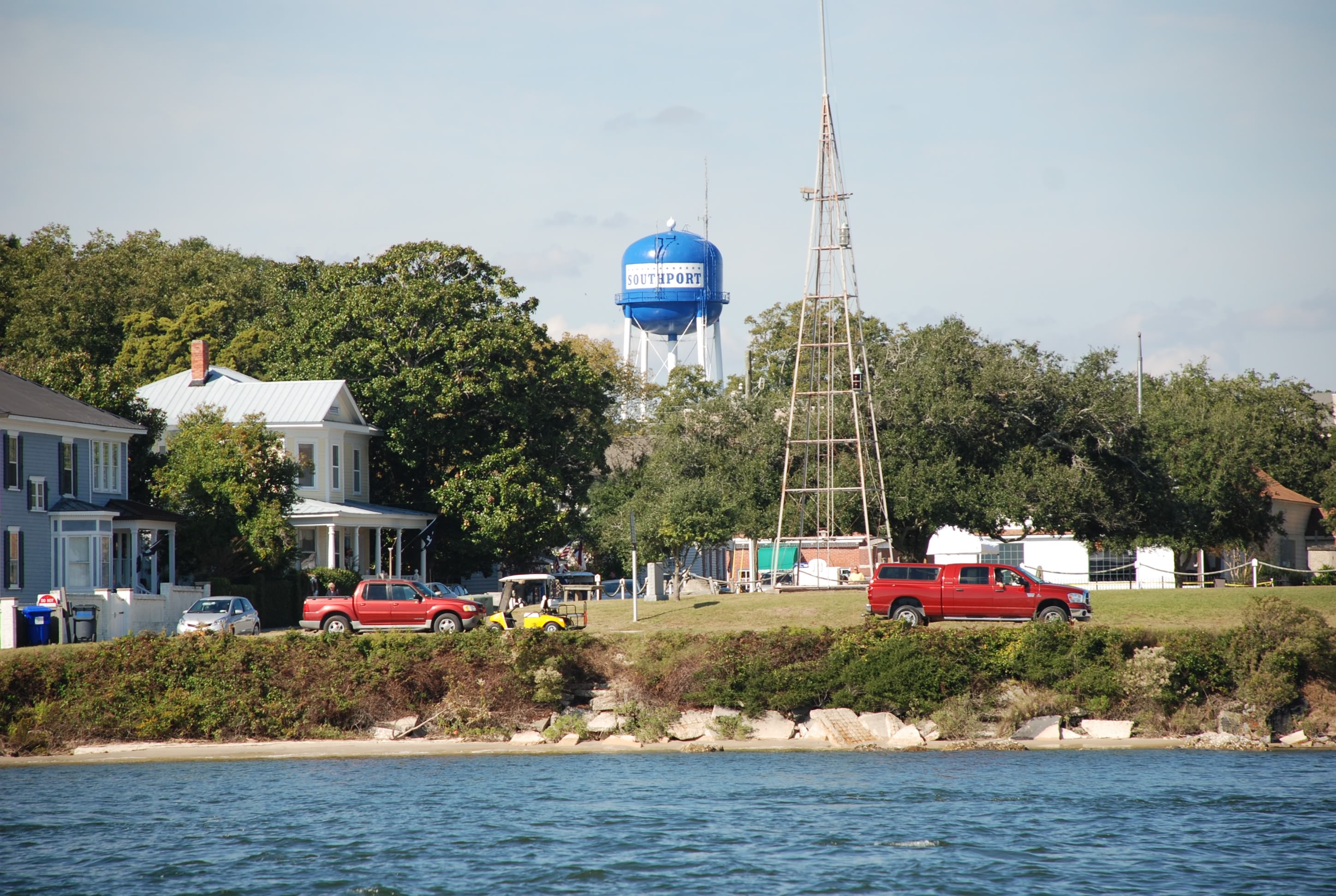
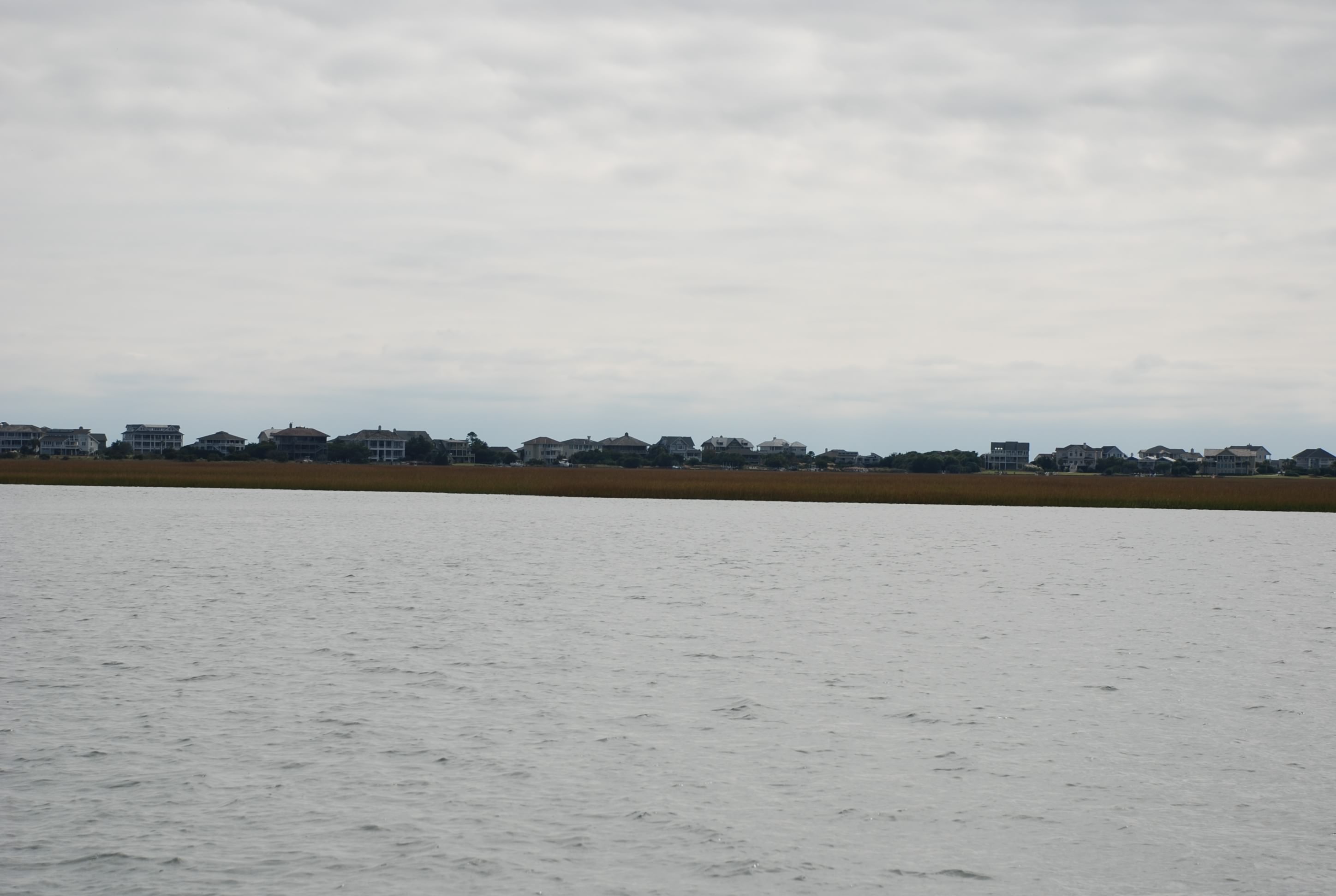
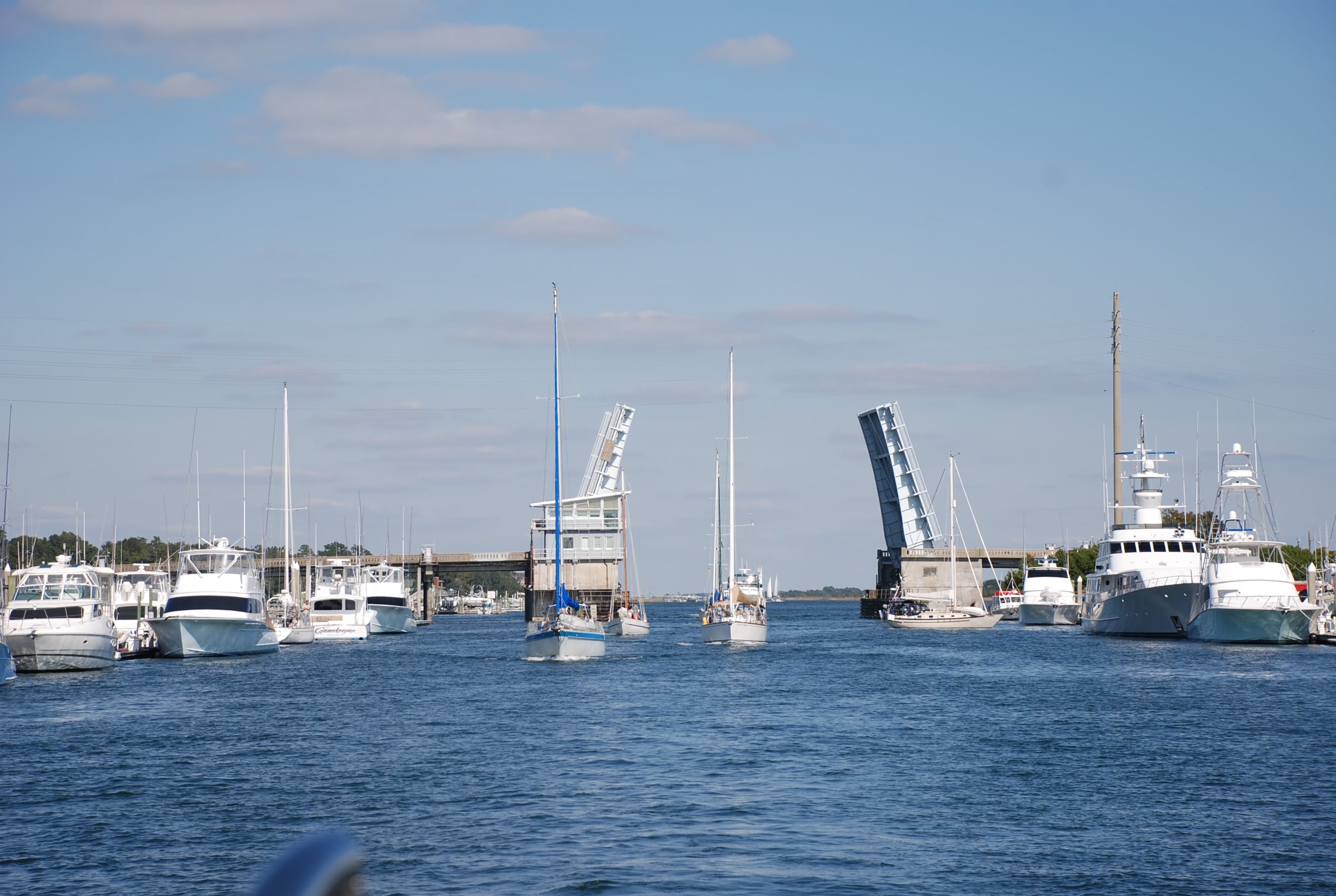
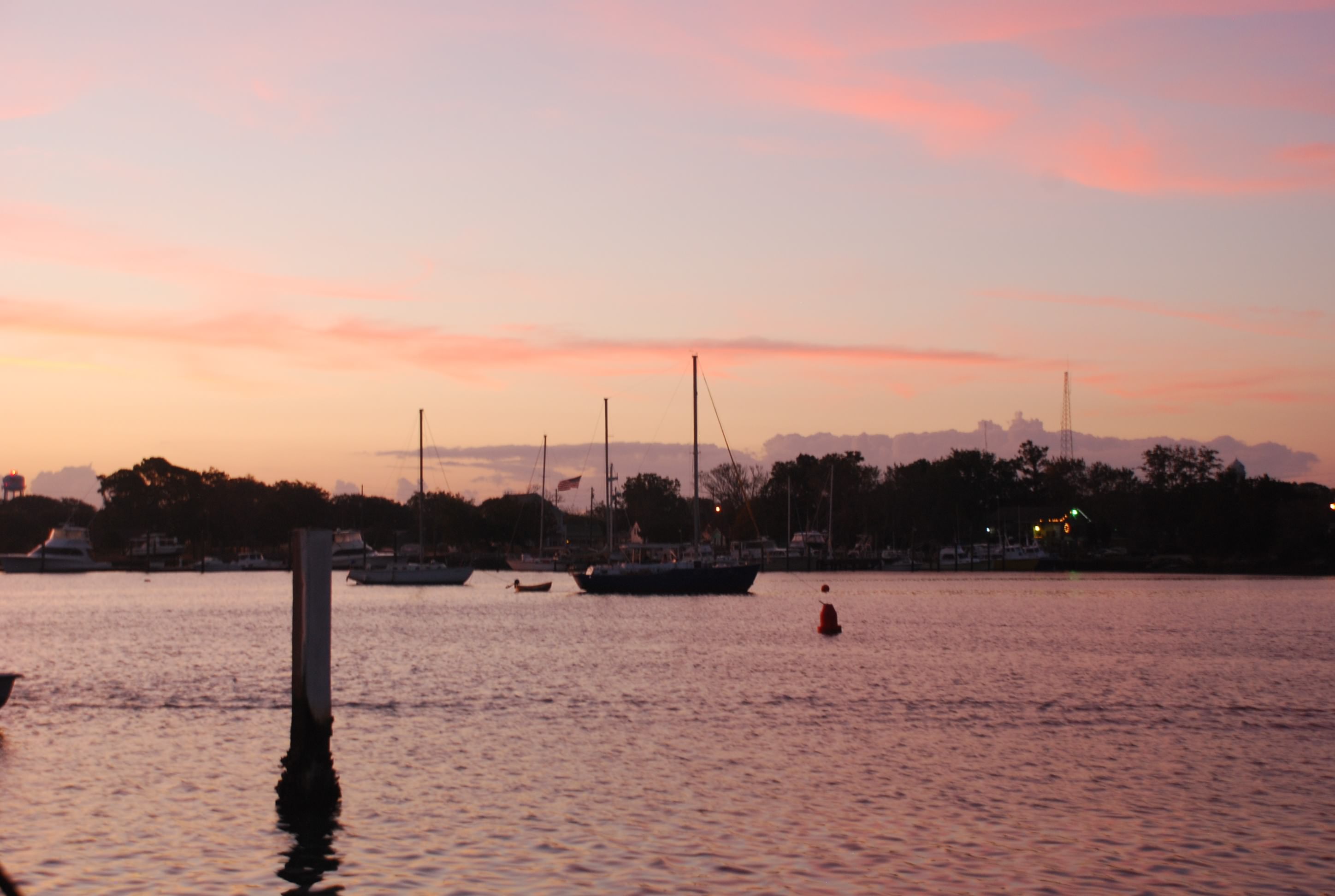
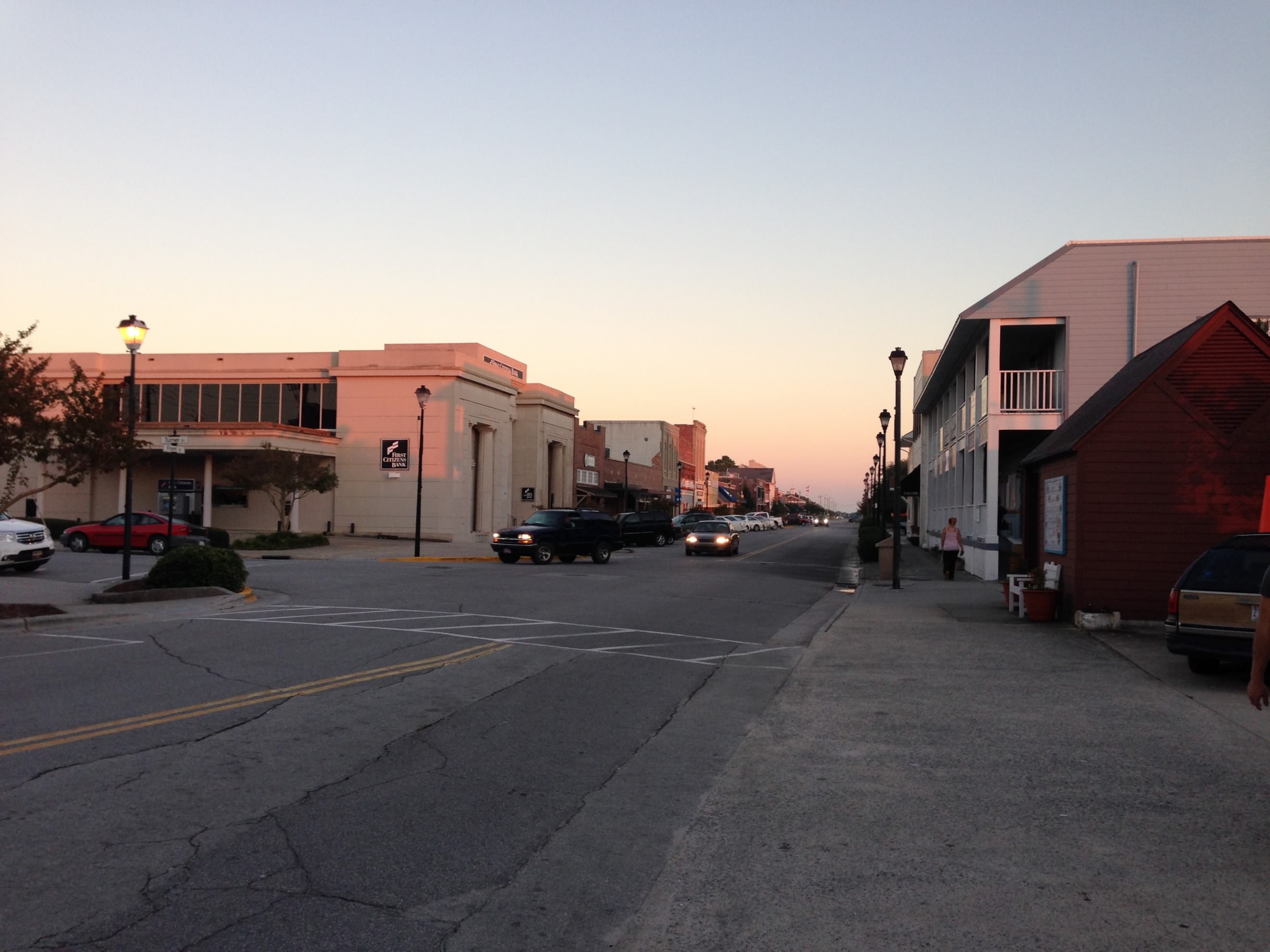
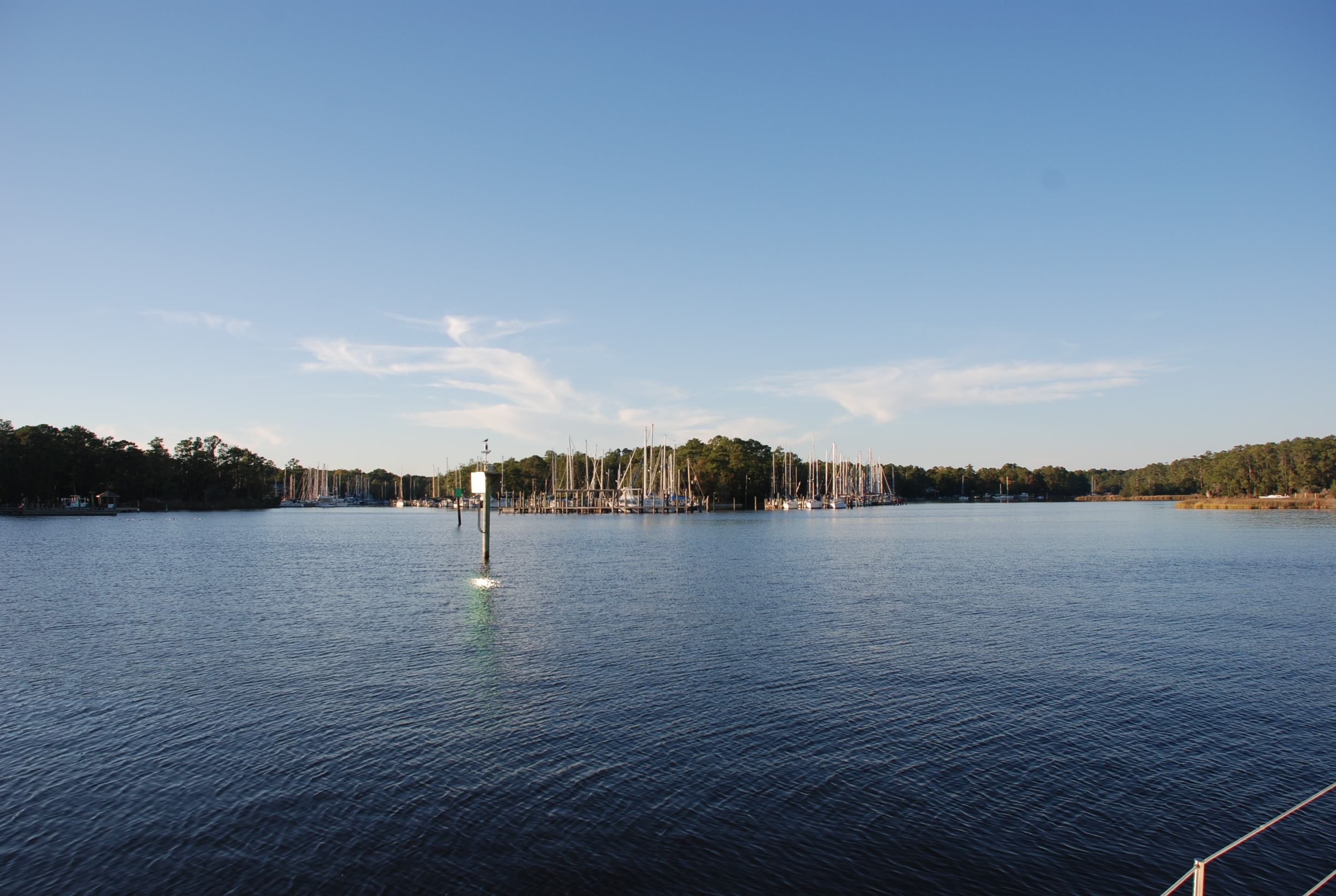
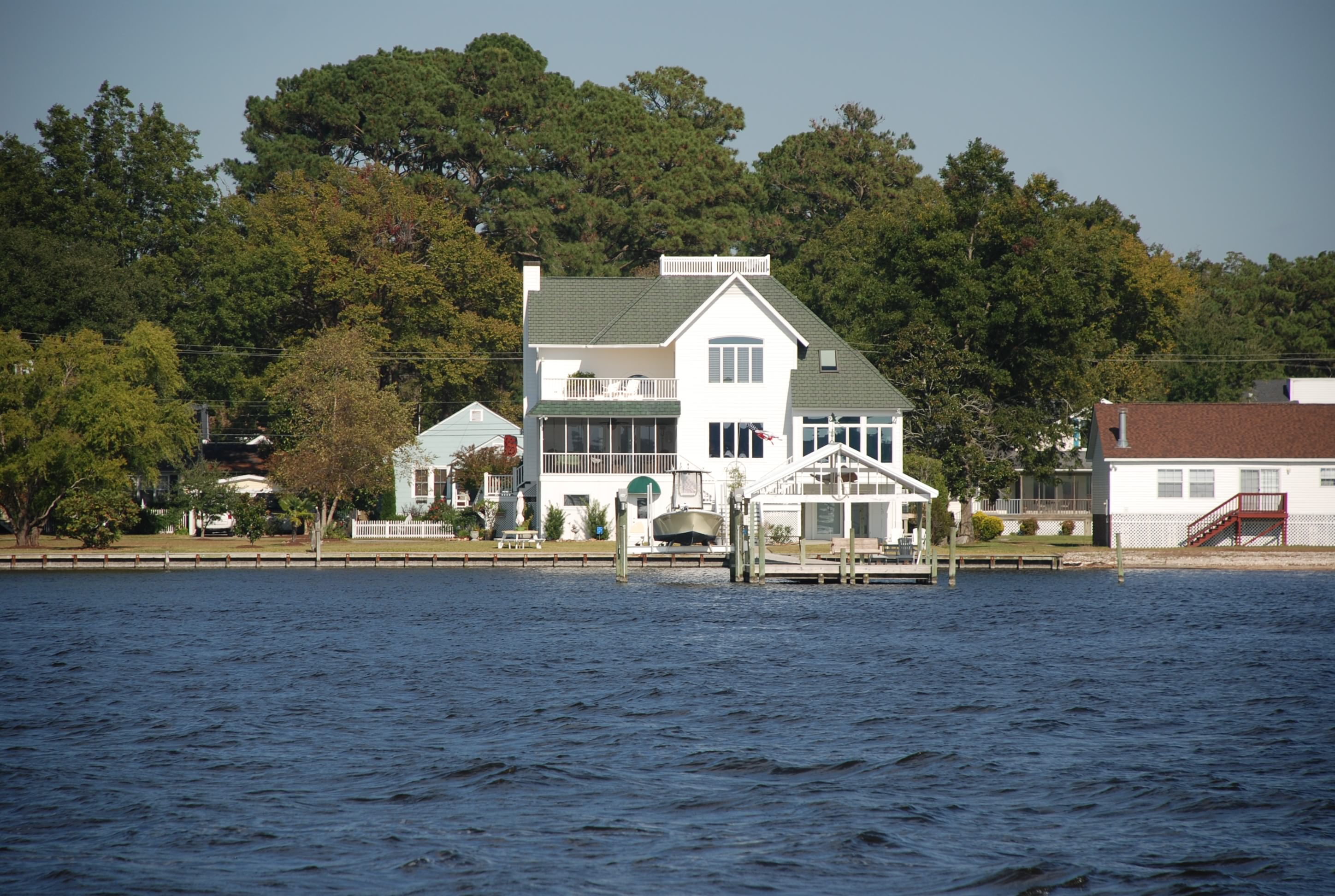
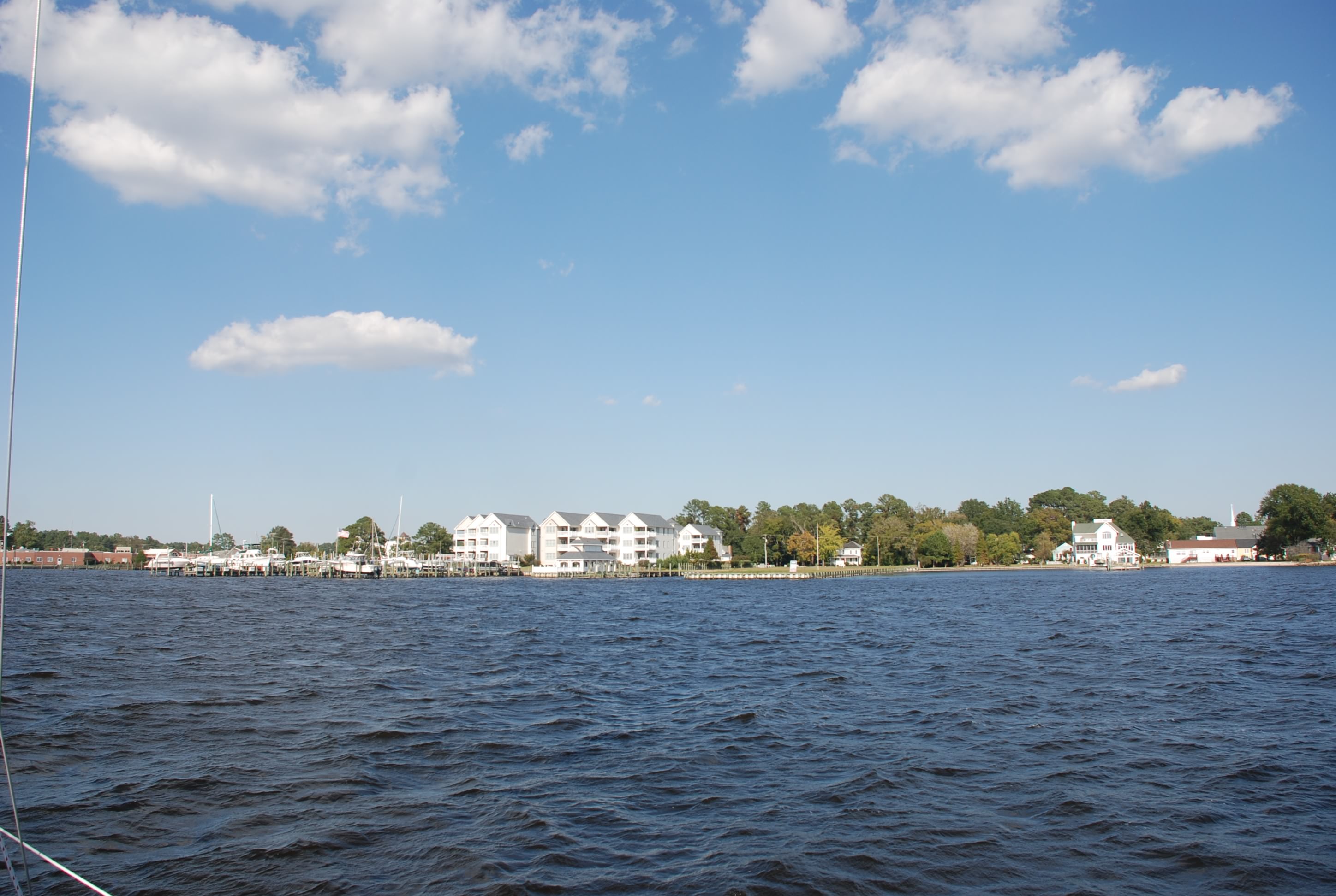
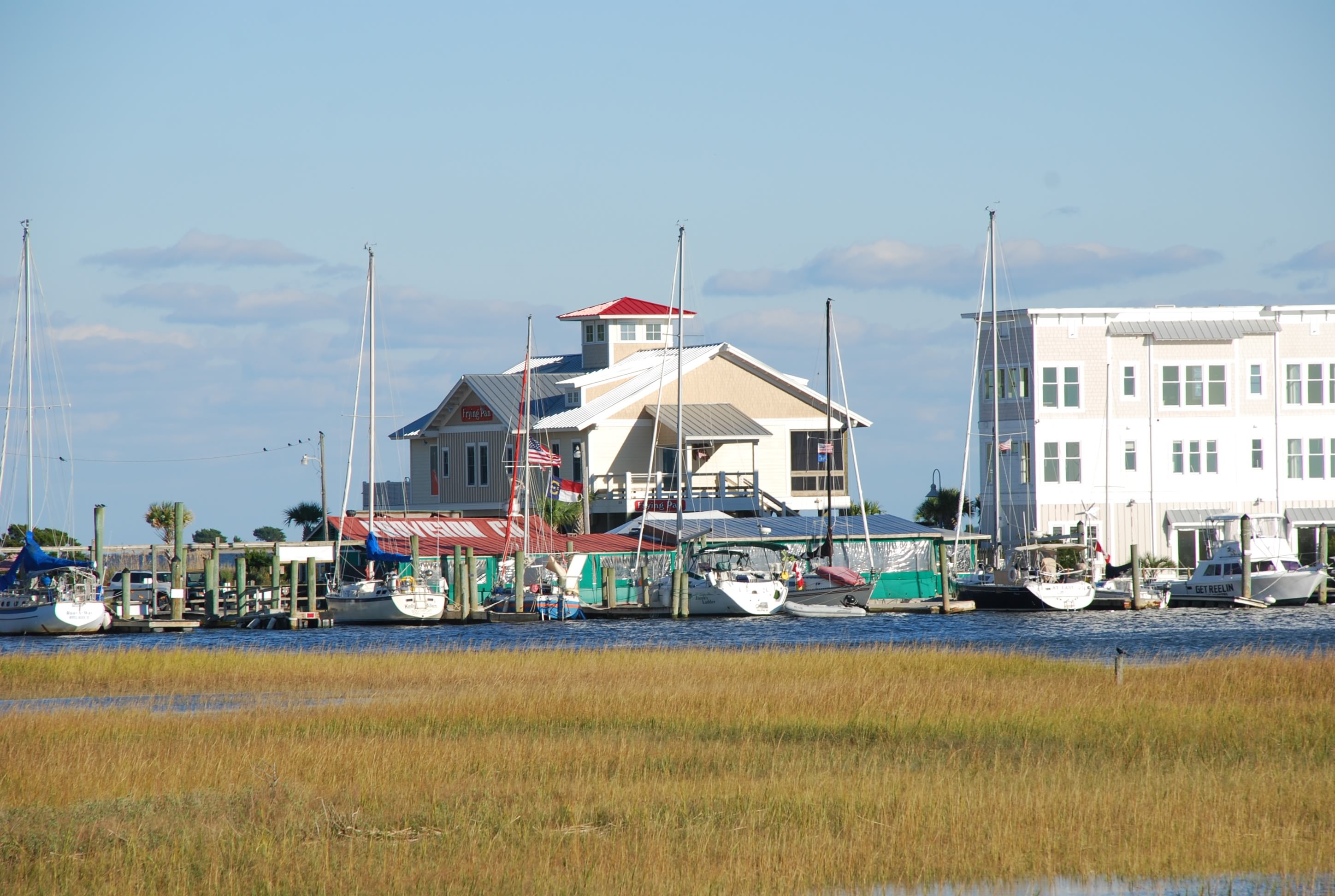
Some pictures of the waterfront in Southport:
DSC_0321
DSC_0322
DSC_0323
DSC_0324
DSC_0325

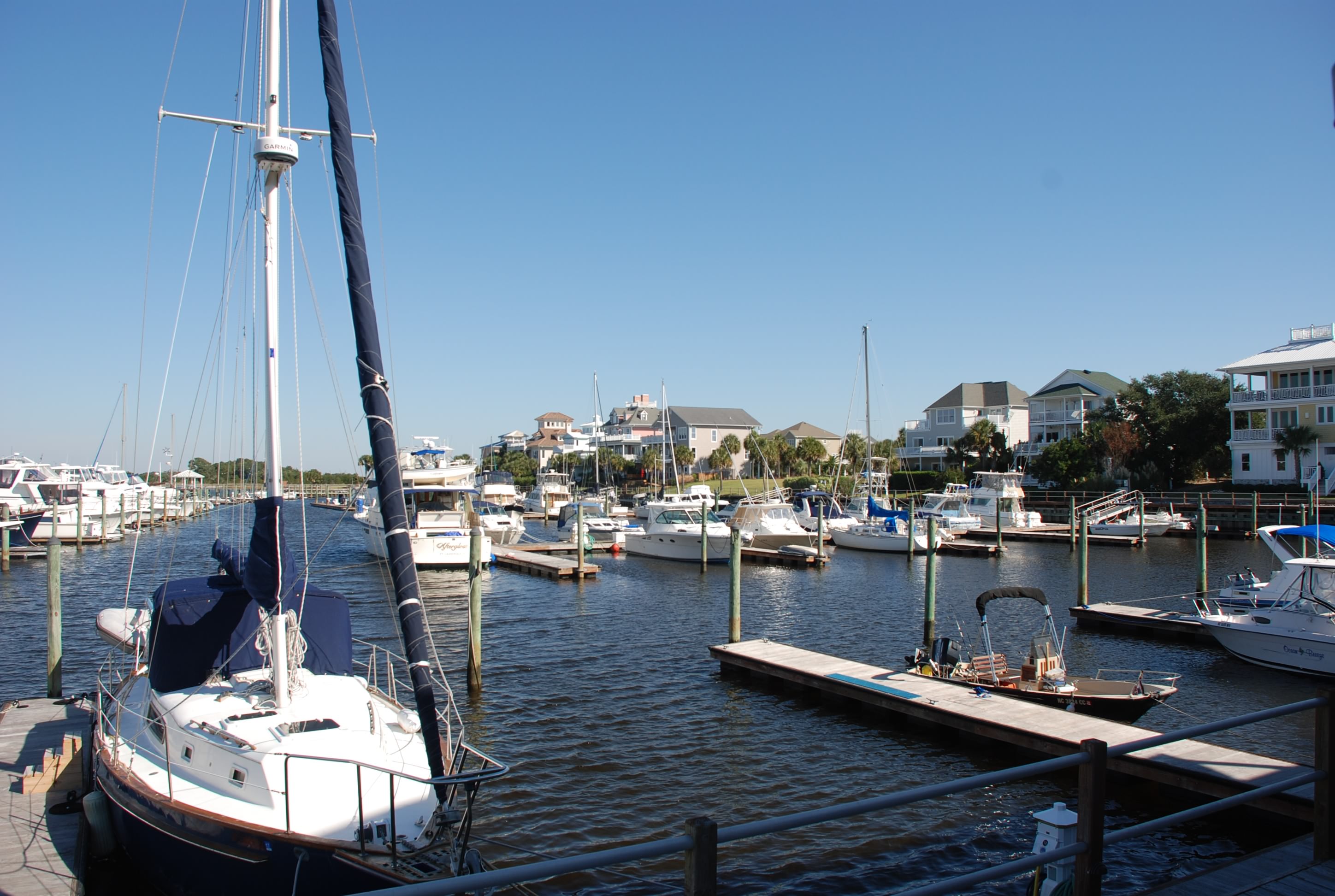
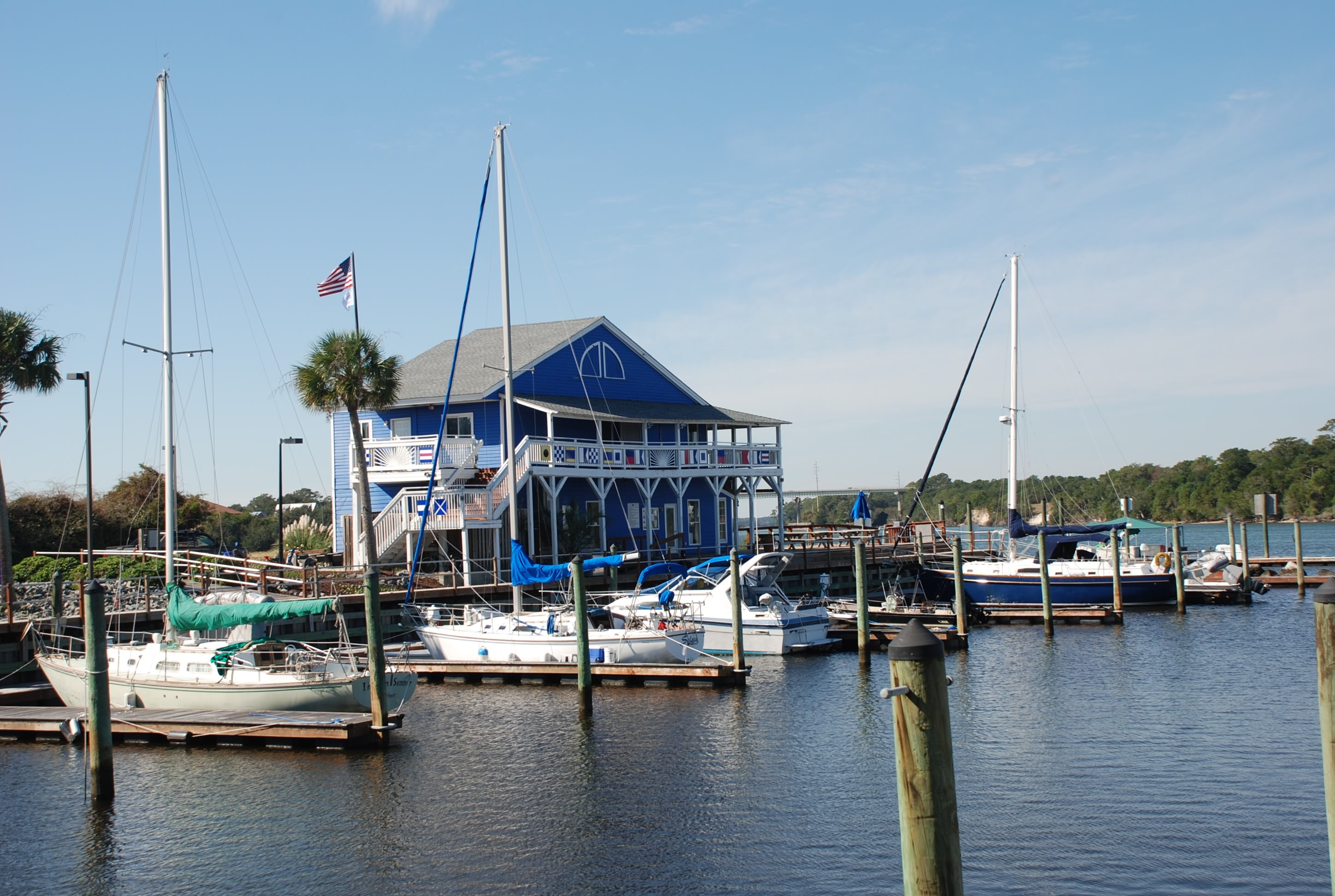
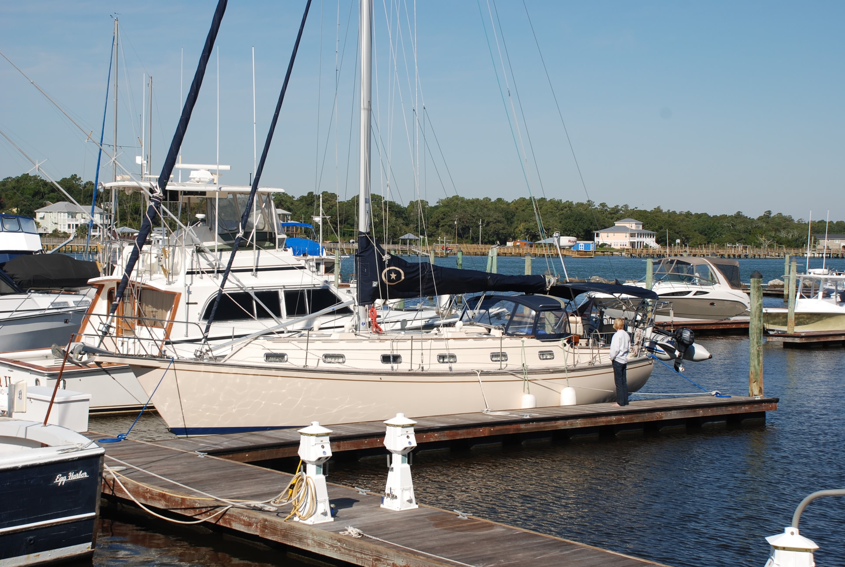
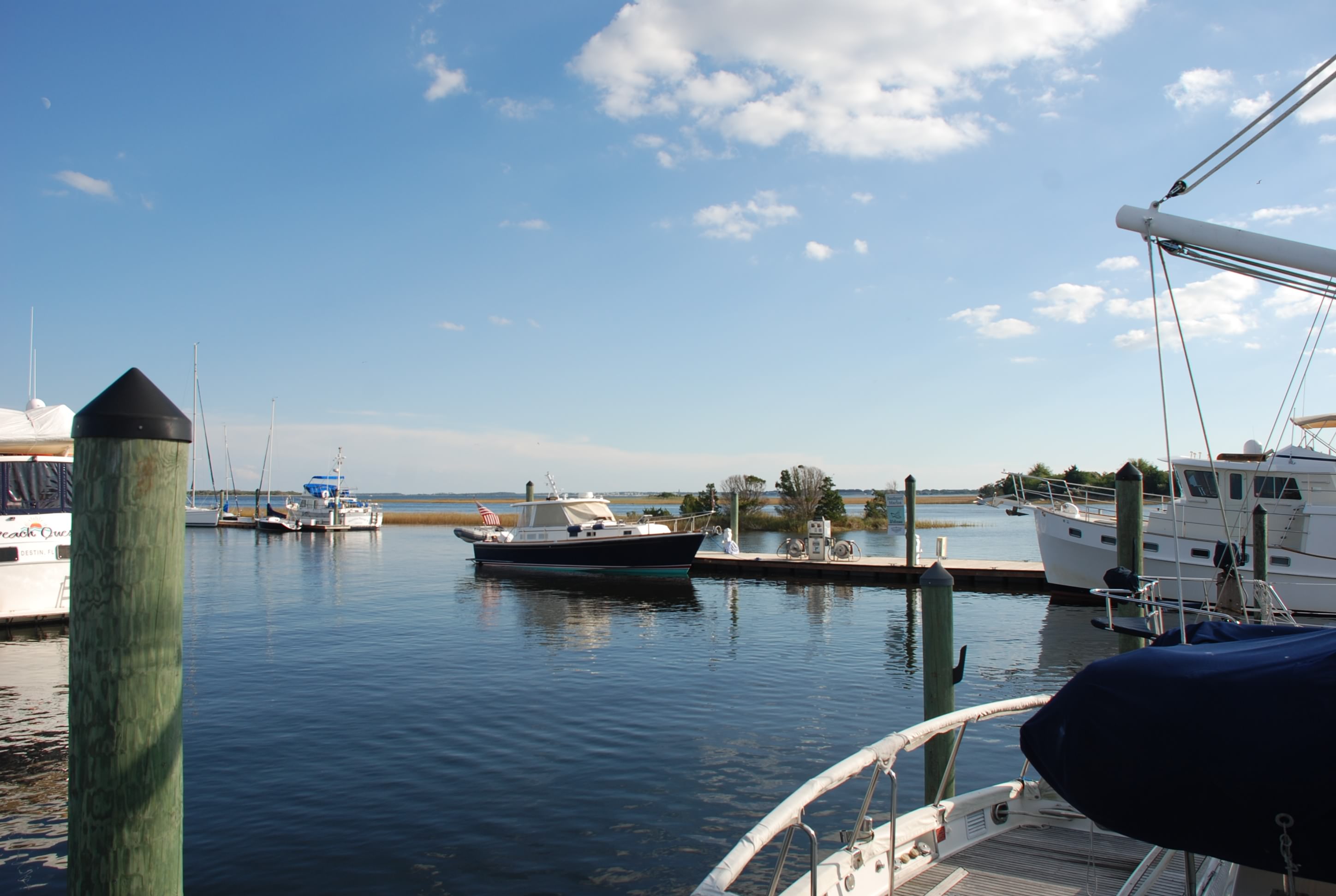
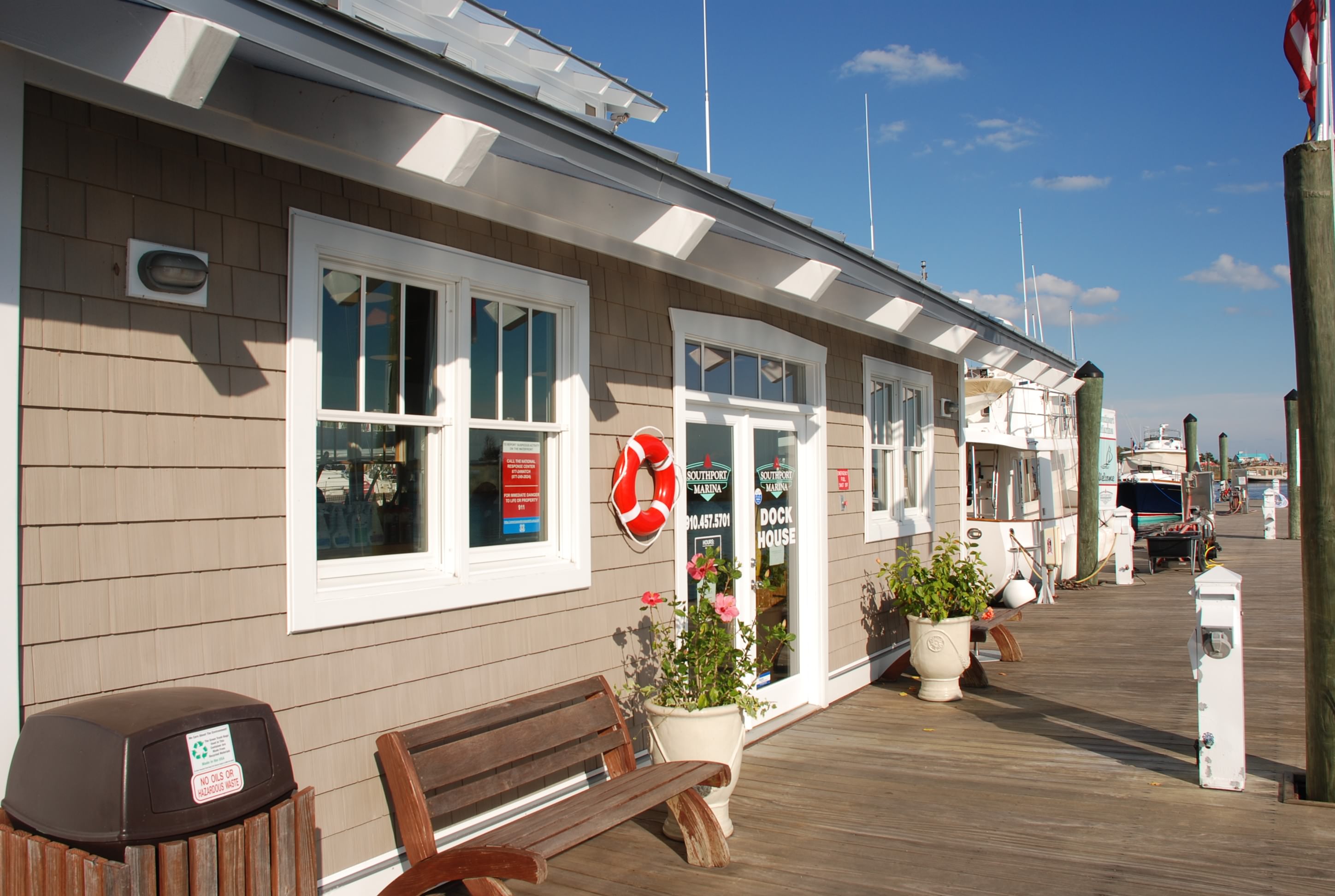
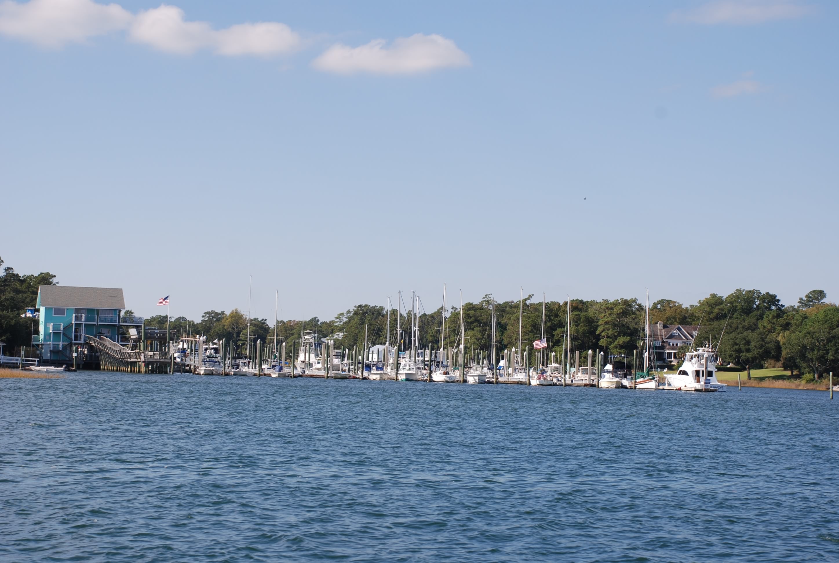
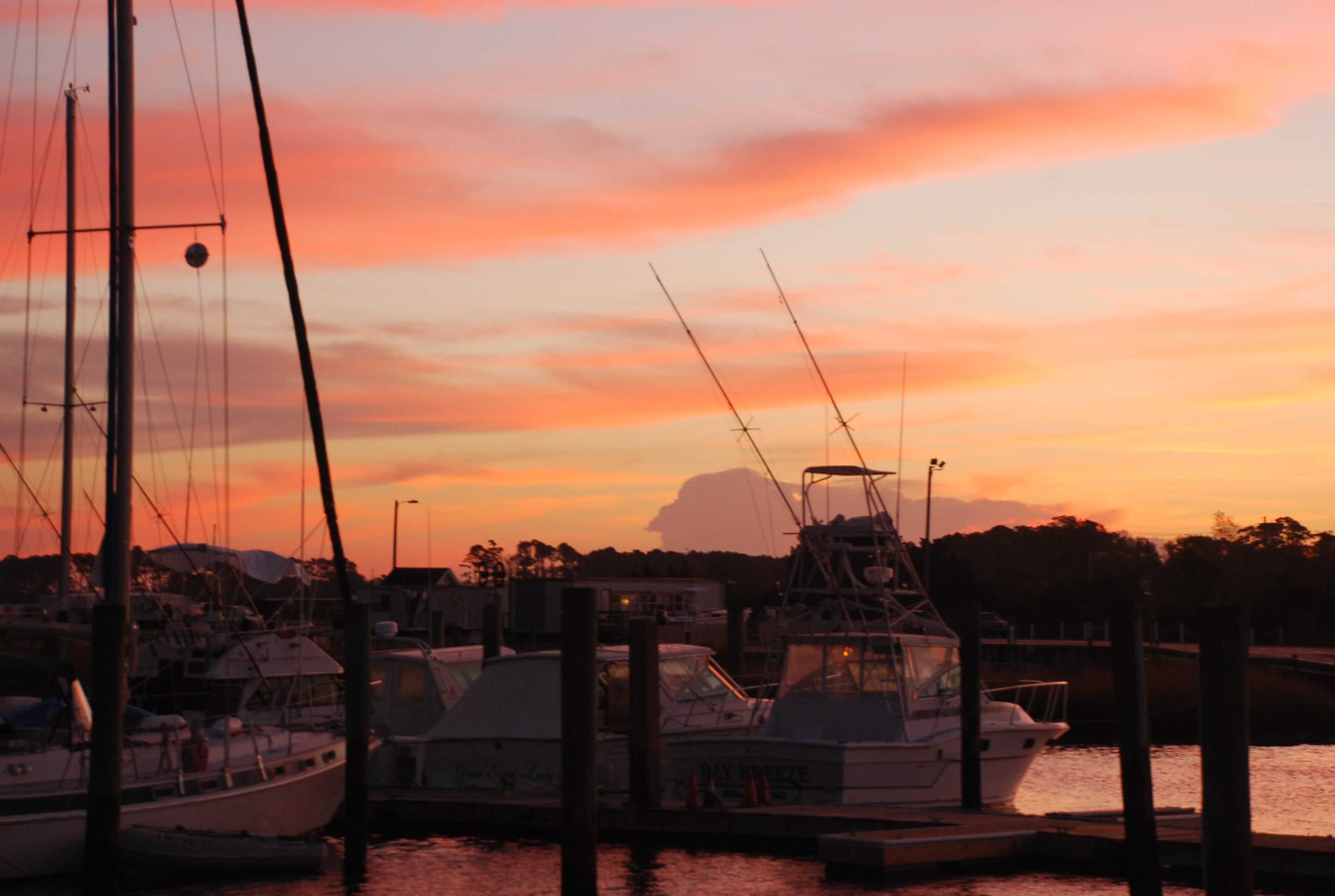
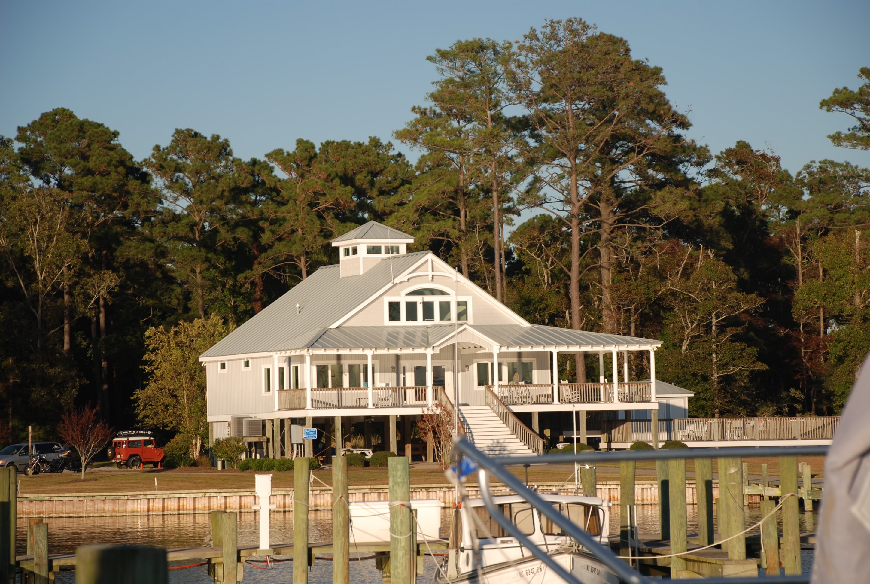
And the marina:
DSC_0328

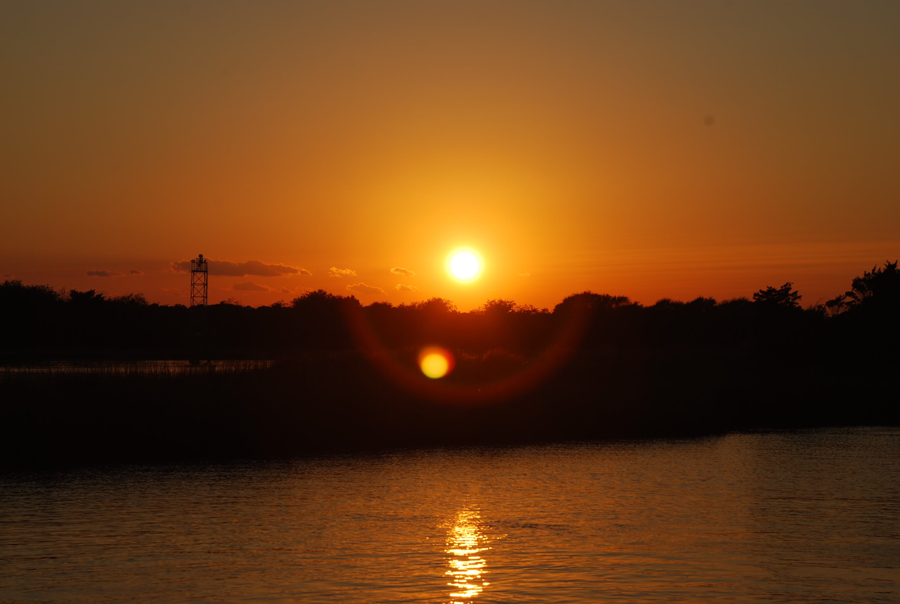
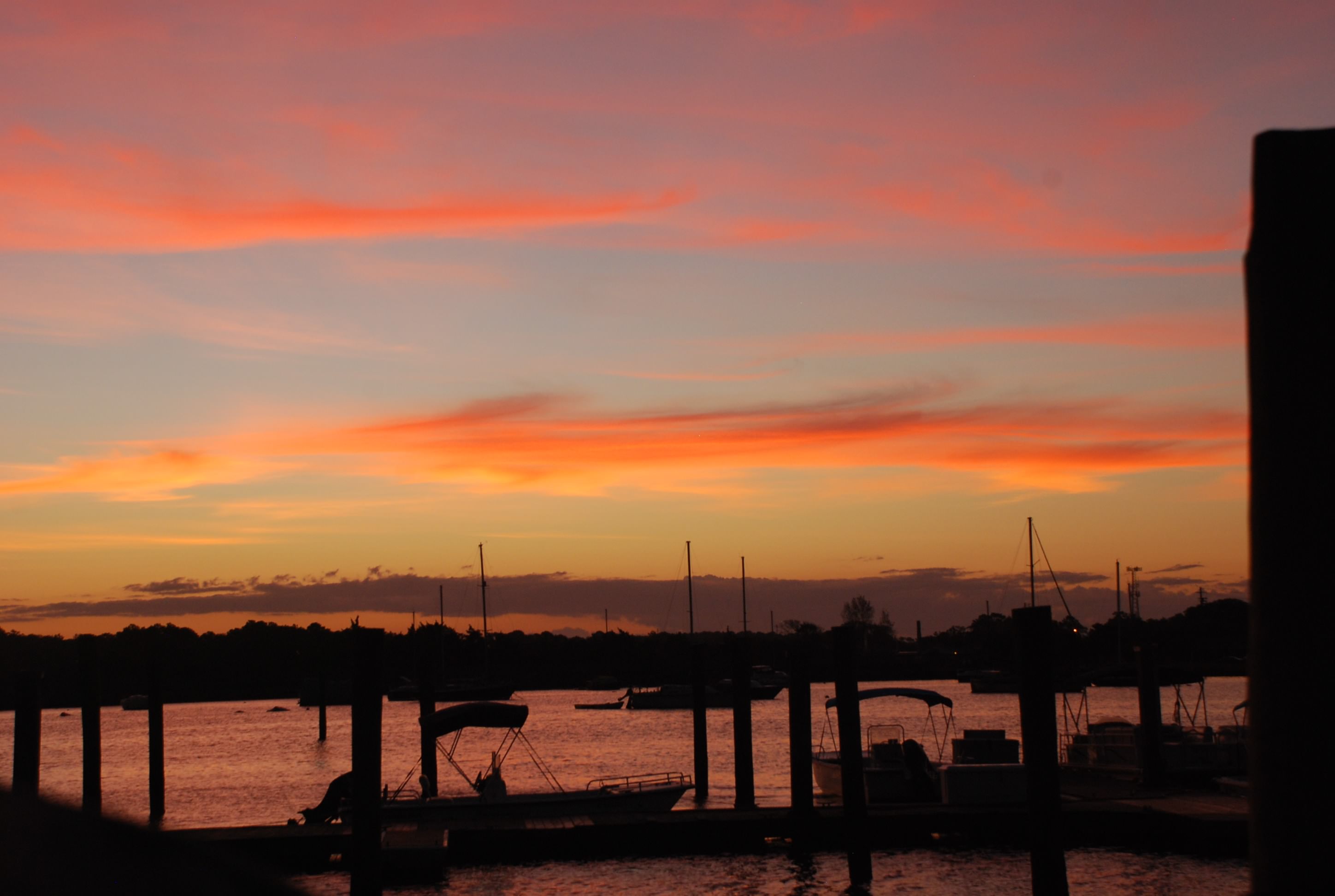
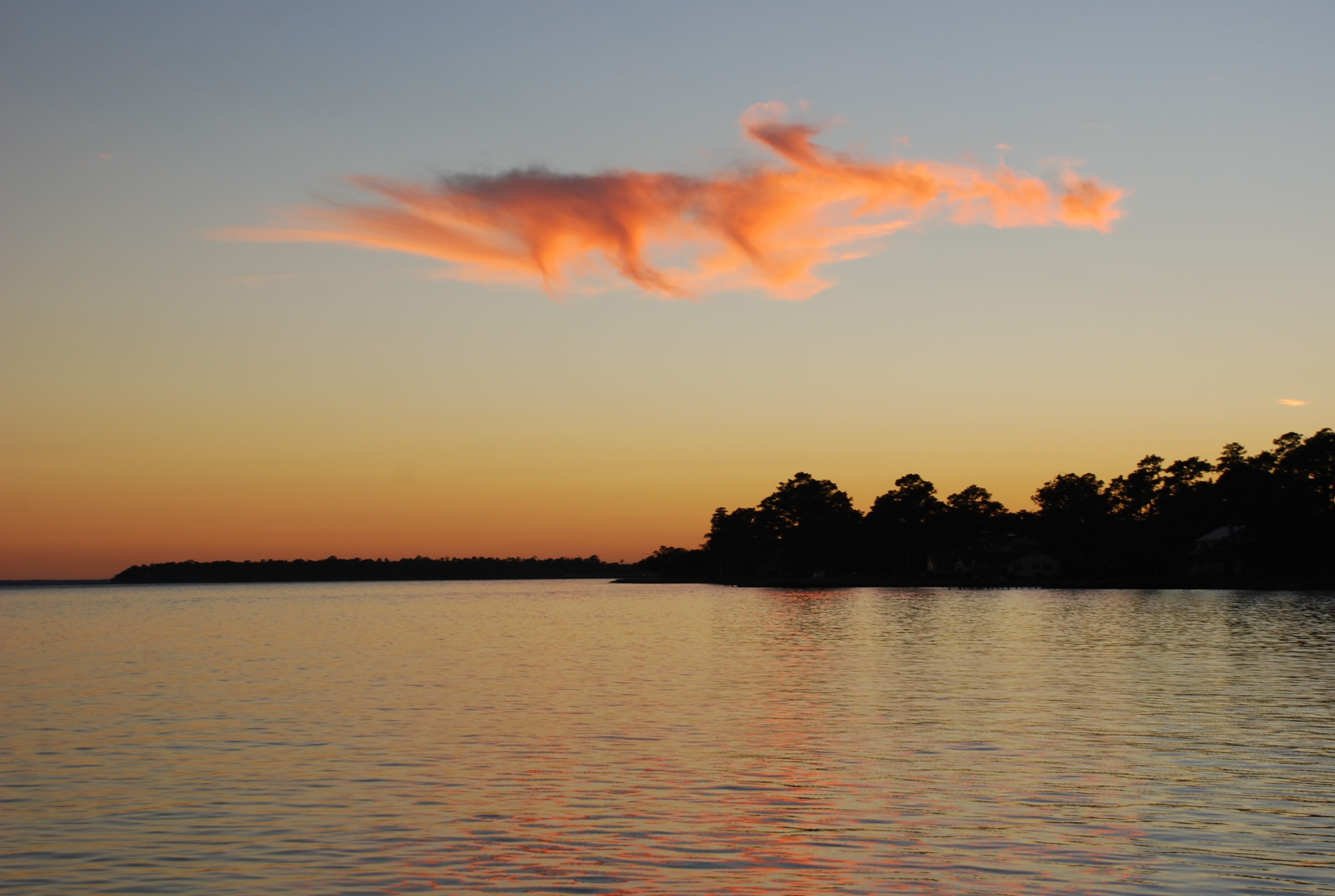
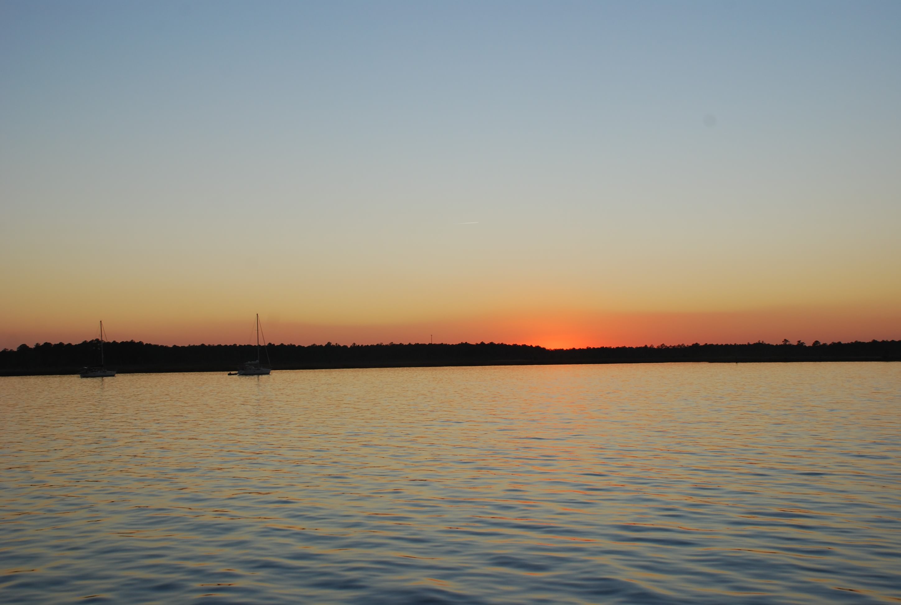
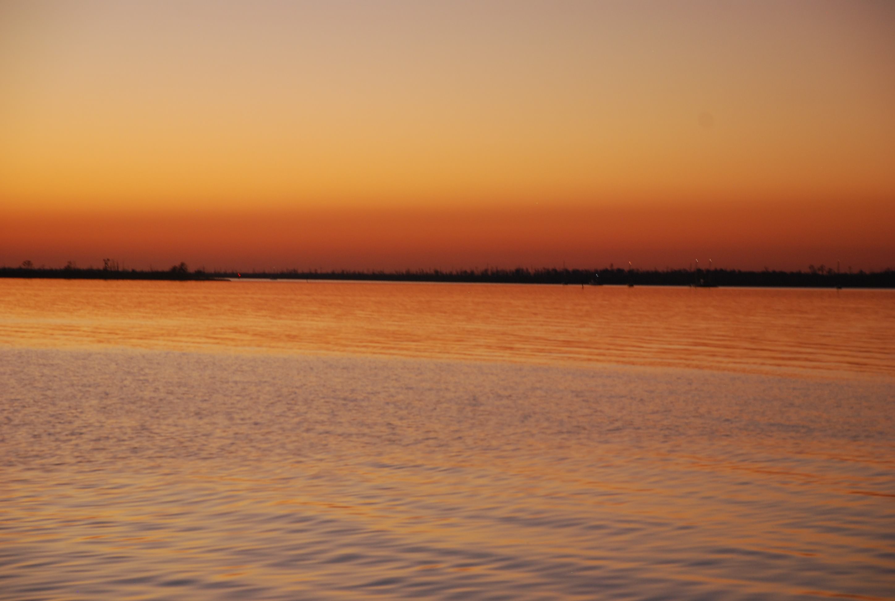
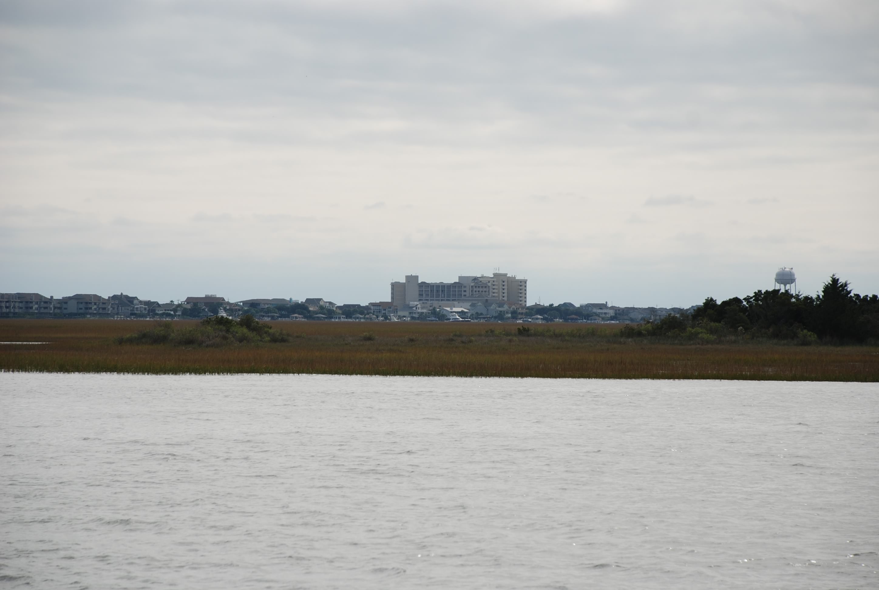
Not quite sunset:
DSC_0329

Riding out the next wave of weather

10/31/14
Southport NC, ICW
Position: 33 55.054N, 78 01.685W
Posted by Bill

We only had a short hop of 12.5 nautical miles to go today and we wanted to time the tides for our journey, so we walked to breakfast and walked the beach for a few hours before we left. Carolina Beach was the first place I experienced the ocean as a kid and I like like beach here a lot, so this was fun even though it was only 65 degrees and windy as hell. We stopped and bought some shrimp where the boats come in with their catch and then back to the boat. I had more time to take a few pictures of the marina here:
DSC_0258
DSC_0262
Some really cool houses along the marina:
DSC_0259
Looking south into Carolina Beach downtown:
DSC_0260
Island Bound at the dock:
DSC_0263
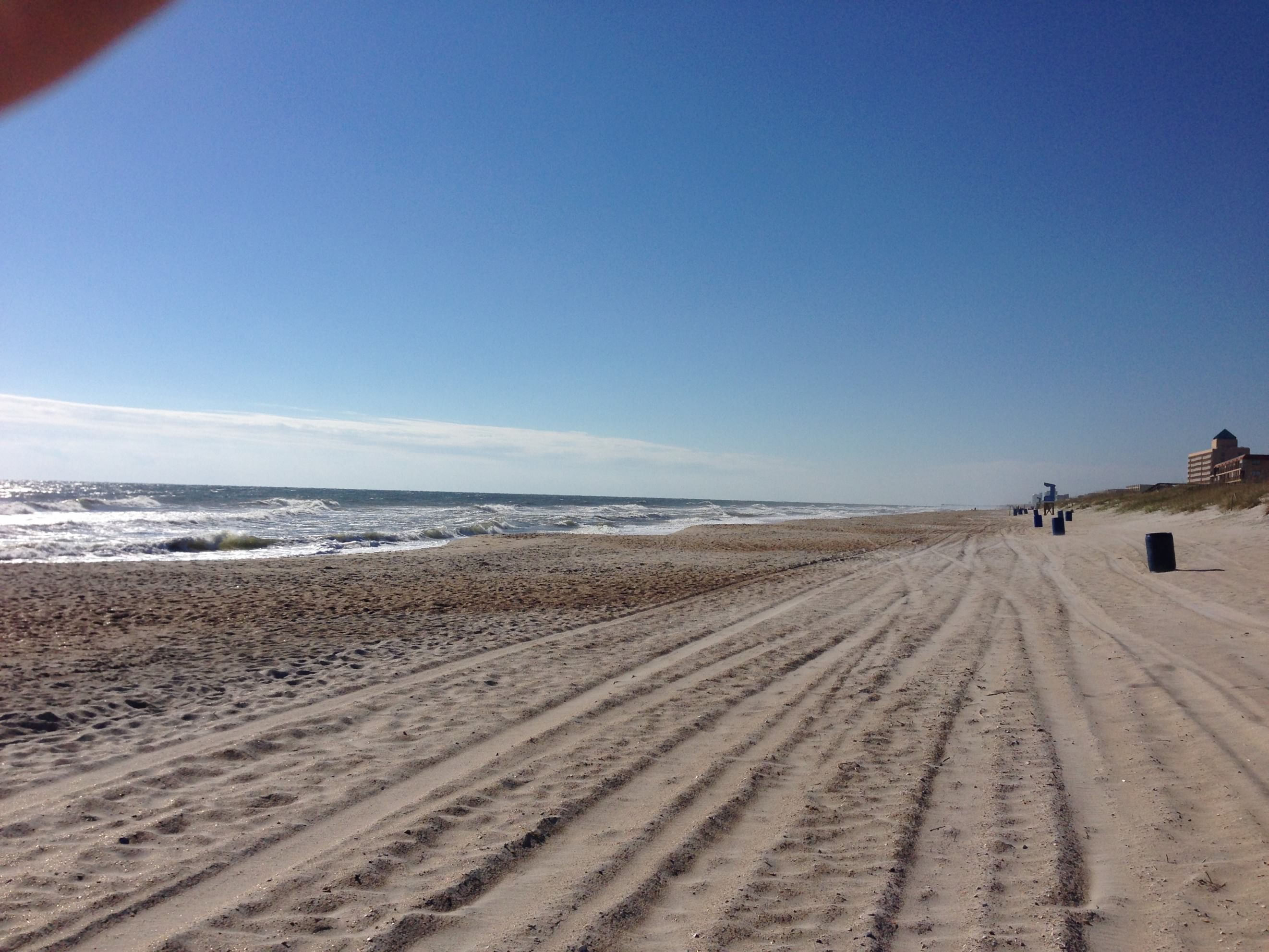
The beach:
Carolina Beach

We motored out of the marina and into Snow’s Cut which leads into the Cape Fear River. The tide was coming in, but the current in Snow’s cut runs opposite of the Cape Fear River, and we shot off like a rocket (in sailboat perspective) going 9.2 knots. Once we hit the river we had opposing tide and a 20 knot wind behind us. This slowed us to 4.8 knots and even 3.9 at one point, and the winds created a healthy chop. It was a beautiful day.
Snow’s Cut:
DSC_0261
Cape Fear River:
DSC_0275

We visited Southport many years ago while on a business trip and really fell in love with the town. It is steeped in history and has the charm of an old southern sea port. The historic homes are well kept and there are lots of restaurants and shops. I have been looking forward to spending a few days here since we left our dock in Lake Erie. The marina here is really nice too. It was pretty packed and we saw lots of boats that we have been traveling with since we left Portsmouth. There are 2 weather fronts moving through in the next couple of days, with winds over 40 knots and temperatures falling into the 30’s at night. Glad to be tied to a dock and run the heater.
Coming in to Southport:
DSC_0285
DSC_0286
DSC_0294
Pictures from our dock and of the marina:
DSC_0302
DSC_0304

We walked into town and had an outstanding dinner, watching the trick-or-treaters along the way. It reminded us of our grandkids and made us miss them even more. One lady said hello to us as she was waiting for the next group of kids, and asked us if we were trick-or-treating. We said “we could be” and she gave us our pick of candy…lol. It was a nice evening and the temperature was in the low 60’s…love that!

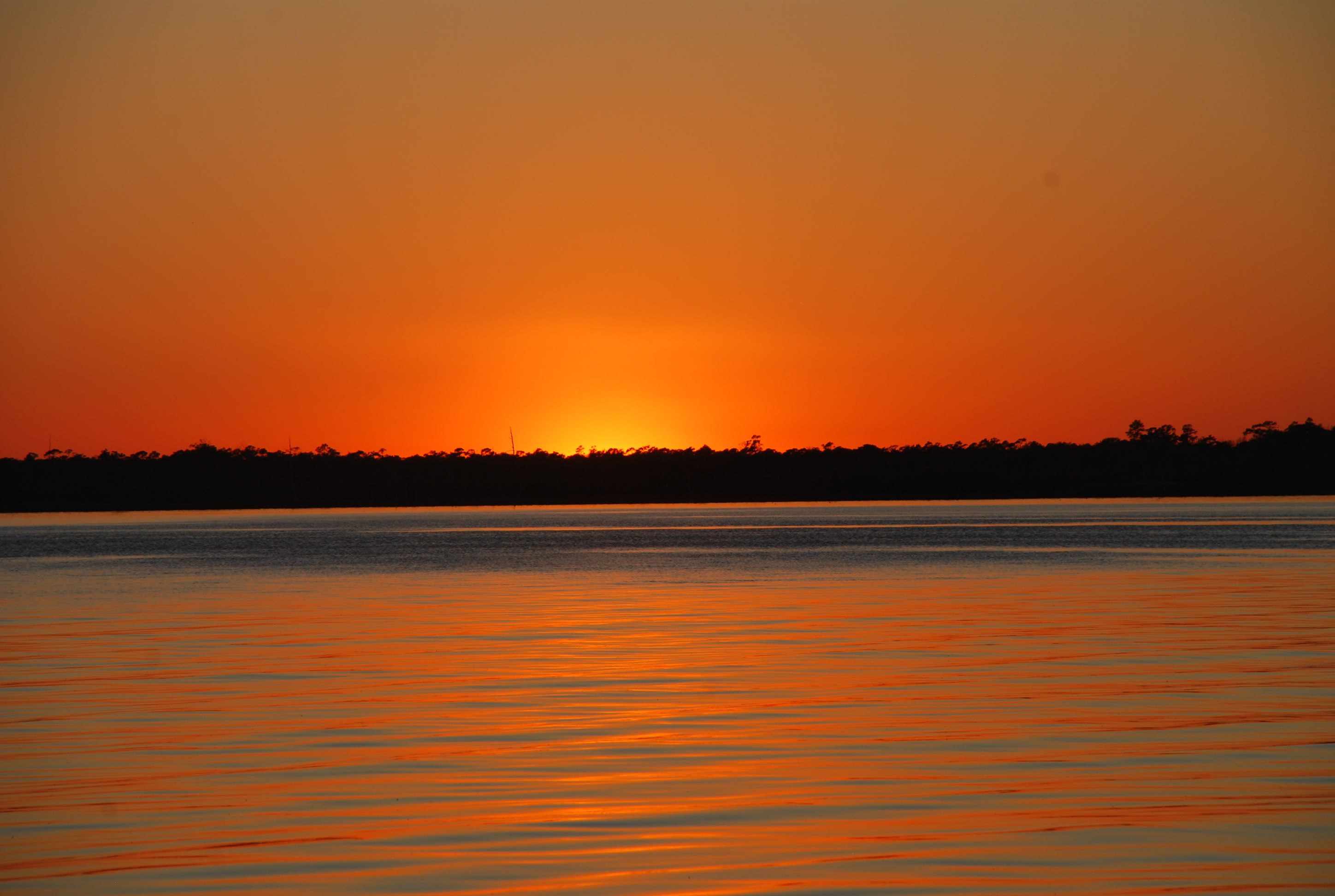
Today’s sunset at the marina:
DSC_0311

Carolina Beach

10/30/14
Carolina Beach NC, ICW
Position: 34 08.559N, 77 58.265W
Posted by Bill

Said goodbye to the New River and motored to Carolina Beach. We had 3 bridge openings to make, the first opens on the hour, the second on the hour and half hour, and the third on the hour. Trying to time them based on the tidal currents was interesting. We missed the first opening by about 20 minutes even though we left Sneads Ferry early. We thought we caught a lucky break when a tug needed an opening 10 minutes after the 9:00 opening. Commercial traffic gets a special opening, but we missed the window by 5 minutes and the bridge tender wouldn’t hold it open for us….bummer.

We circle around for 40 minutes, make the next bridge opening and then have to slow to a crawl to make the last one which was only 4.3 miles away. Let me tell you it is not easy to hold our boat in a controlled position for 40 minutes in wind and a 2 knot current.

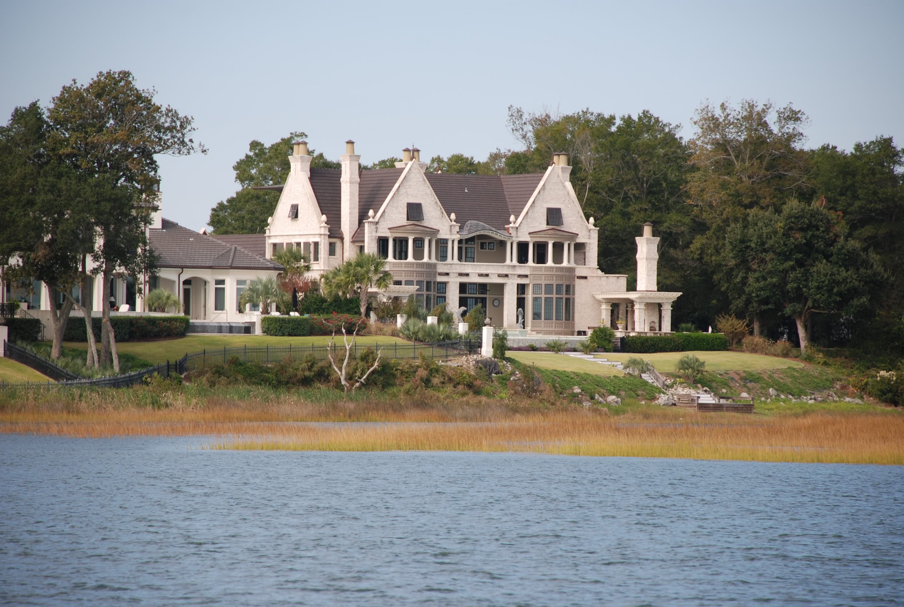
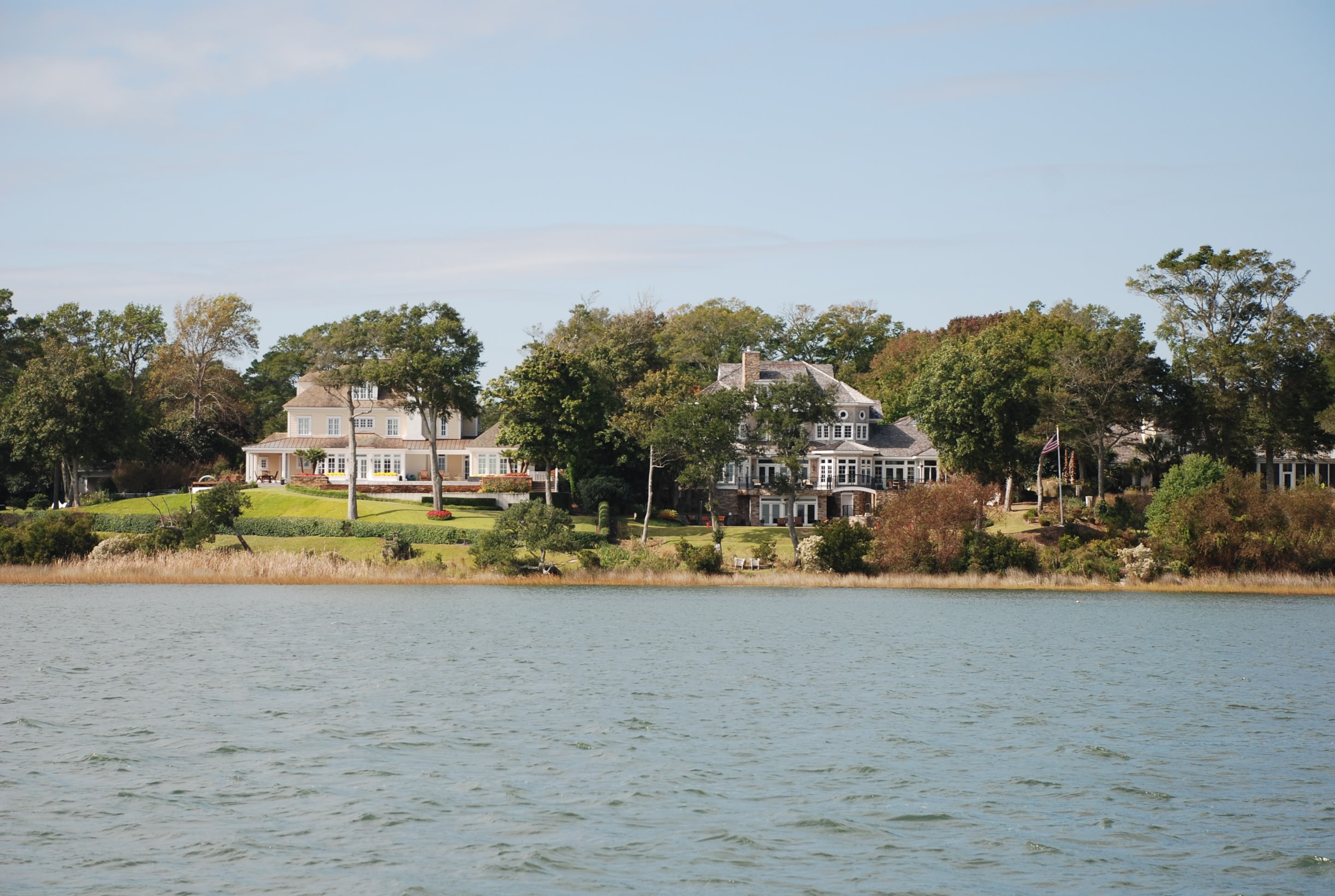
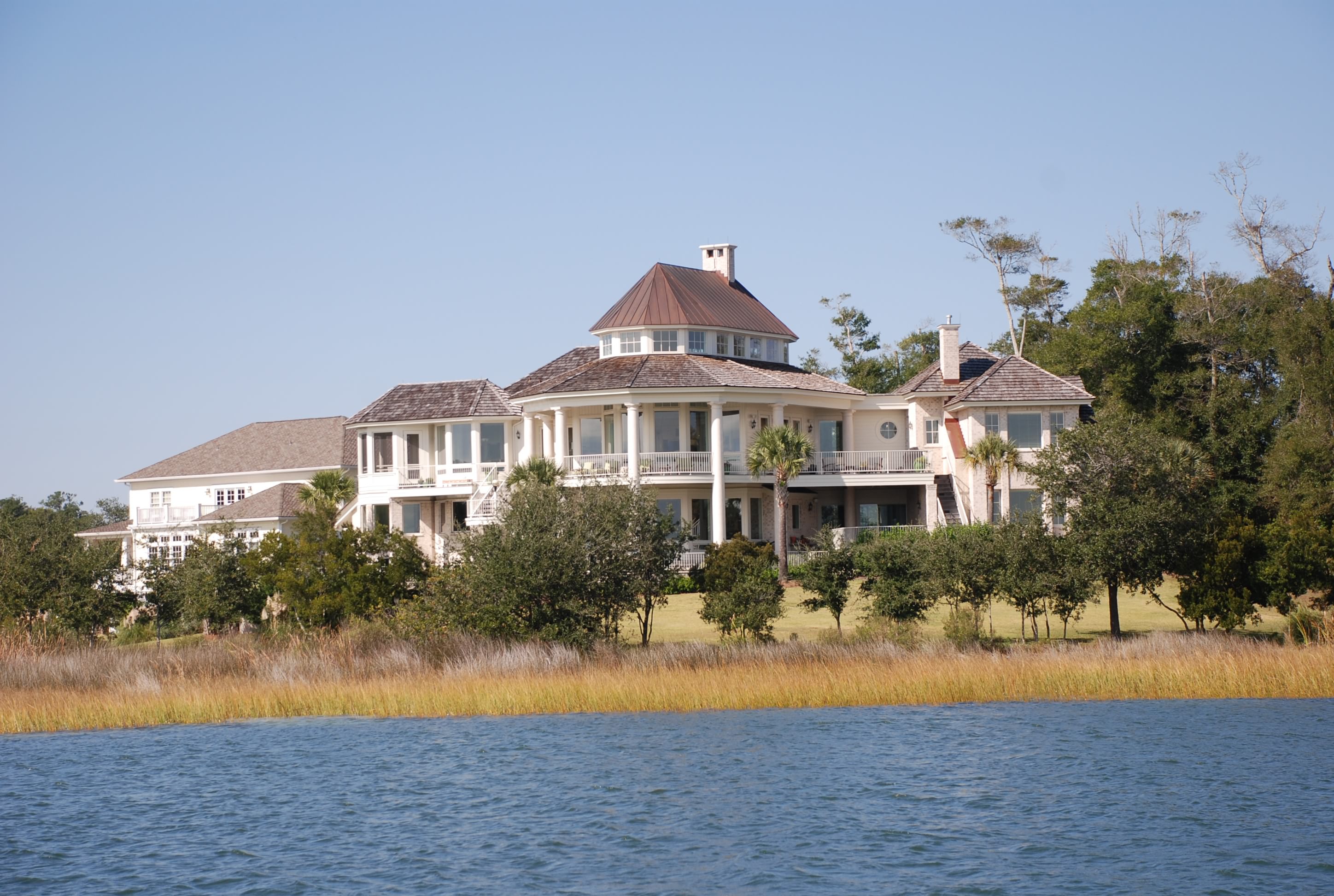
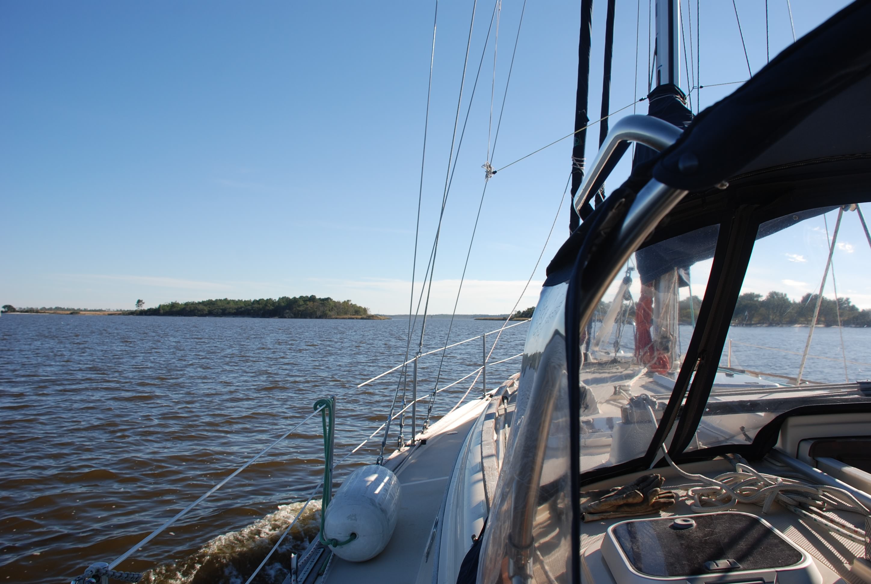
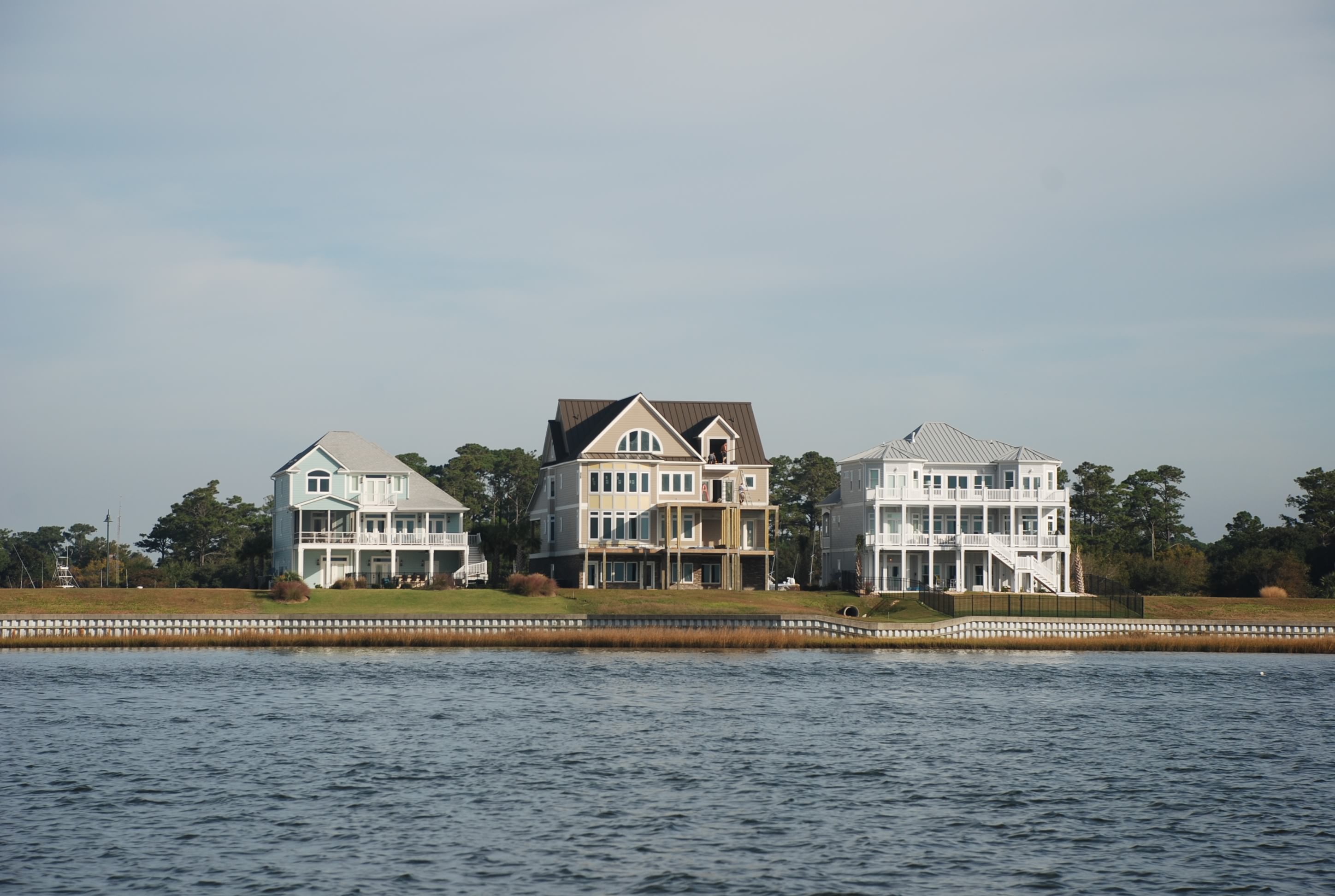
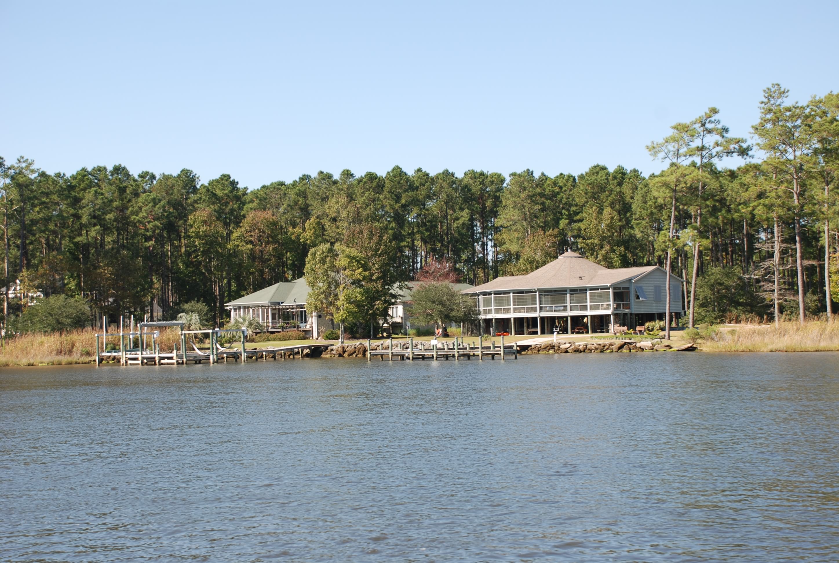
Most of the scenery was beautiful homes along the ICW and Carolina Beach resorts on the other side.

ICW:
DSC_0235
DSC_0237
DSC_0238

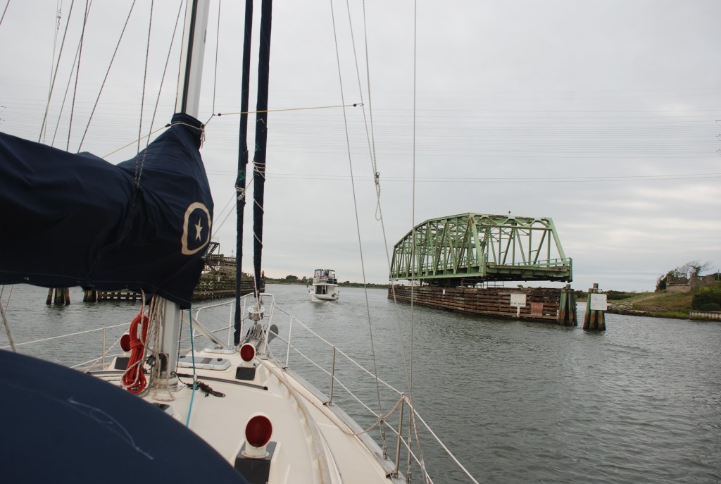
Going through the Surf City swing bridge:
DSC_0193

Figure 8 Island where all the rich people hang:
DSC_0229
Wrightsville Beach:
DSC_0236

Wrightsville Beach lift bridge:
DSC_0244

We ended up at Joyner Marina at Carolina Beach:
DSC_0253
CB 1
CB 2

Tricia’s aunt Doris and cousin Jane who live nearby, came to the boat to visit and we had a happy hour on the boat. Then Doris treated us to dinner at Freddies in Kure Beach. It was awesome and it was great fun to hang with the girls. It was nice that they came to us, since we have no car. They are fun people!

The alternator worked after the first 3 hours of our passage today…what is up with the damn alternator? I can almost hear it say “na na na na boo boo, just try and figure me out”.

Cool for me to be in Carolina Beach. Makes me think of vacations as a kid and my first experience in the ocean.

By the way….we really are missing our friends and family…not kidding….we do!

Cruising through the barrier islands and beaches

10/29/14
New River, Sneads Ferry NC
Position: 34 32.600N, 77 21.616W
Posted by Bill

We left Beaufort this morning with joy in our hearts, thinking that I solved the alternator problem. It ran correctly for 2/3rds of our trip today, only to revert to the new normal…intermittent charging. Sunrise was outstanding:
DSC_0096
DSC_0097
DSC_0098

The passage today had lots of traffic, starting with a war ship coming in from sea:
DSC_0102
We had to stay the hell out of the way of this big boy.

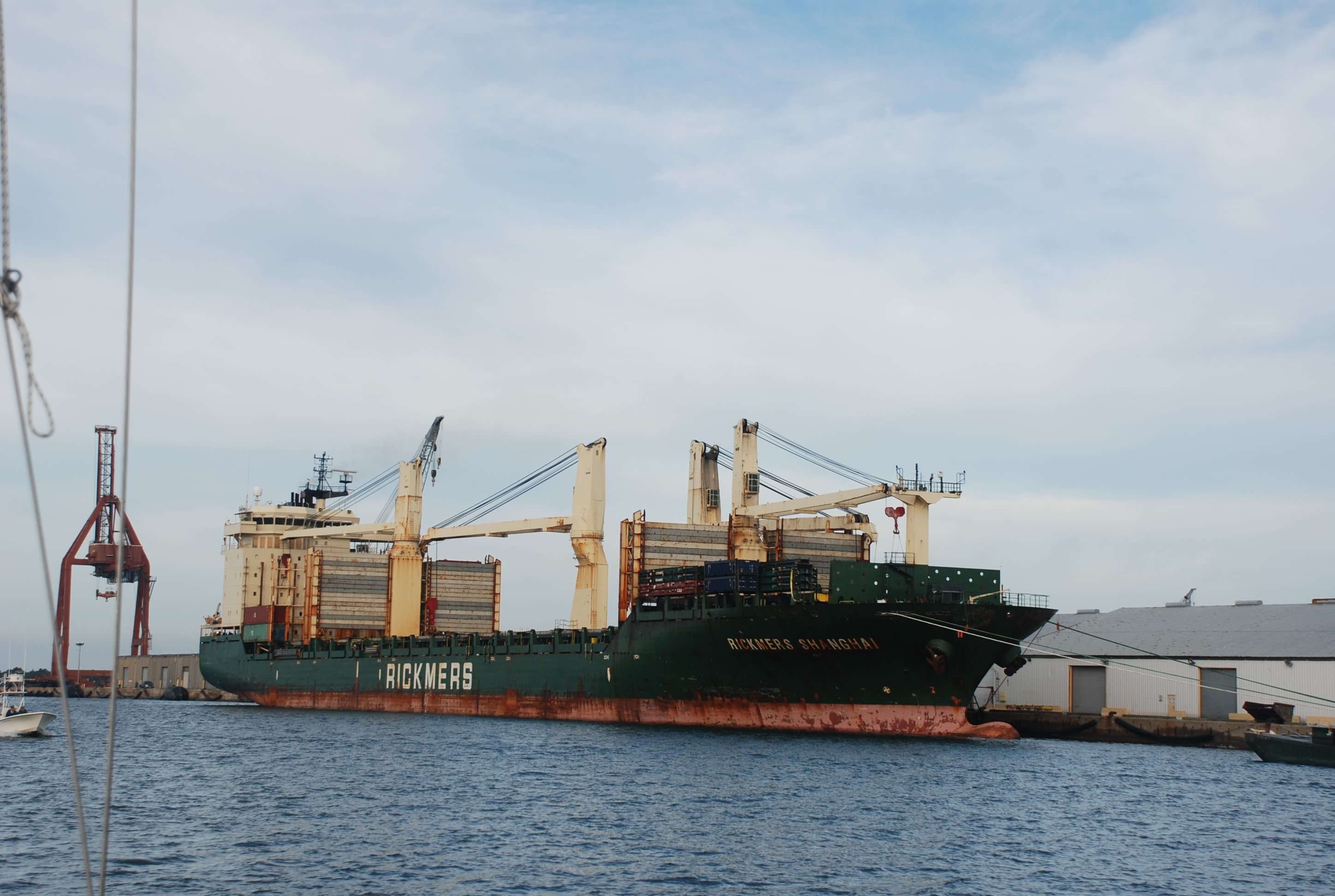
As we motored past Morehead City we saw lots of big ships again:
DSC_0106
DSC_0109
After Moorehead City, we cruised through Bogue Sound, which had huge homes to the west and the barrier islands and beaches to the east:
DSC_0112
The string of mansions went for at least 20 miles.
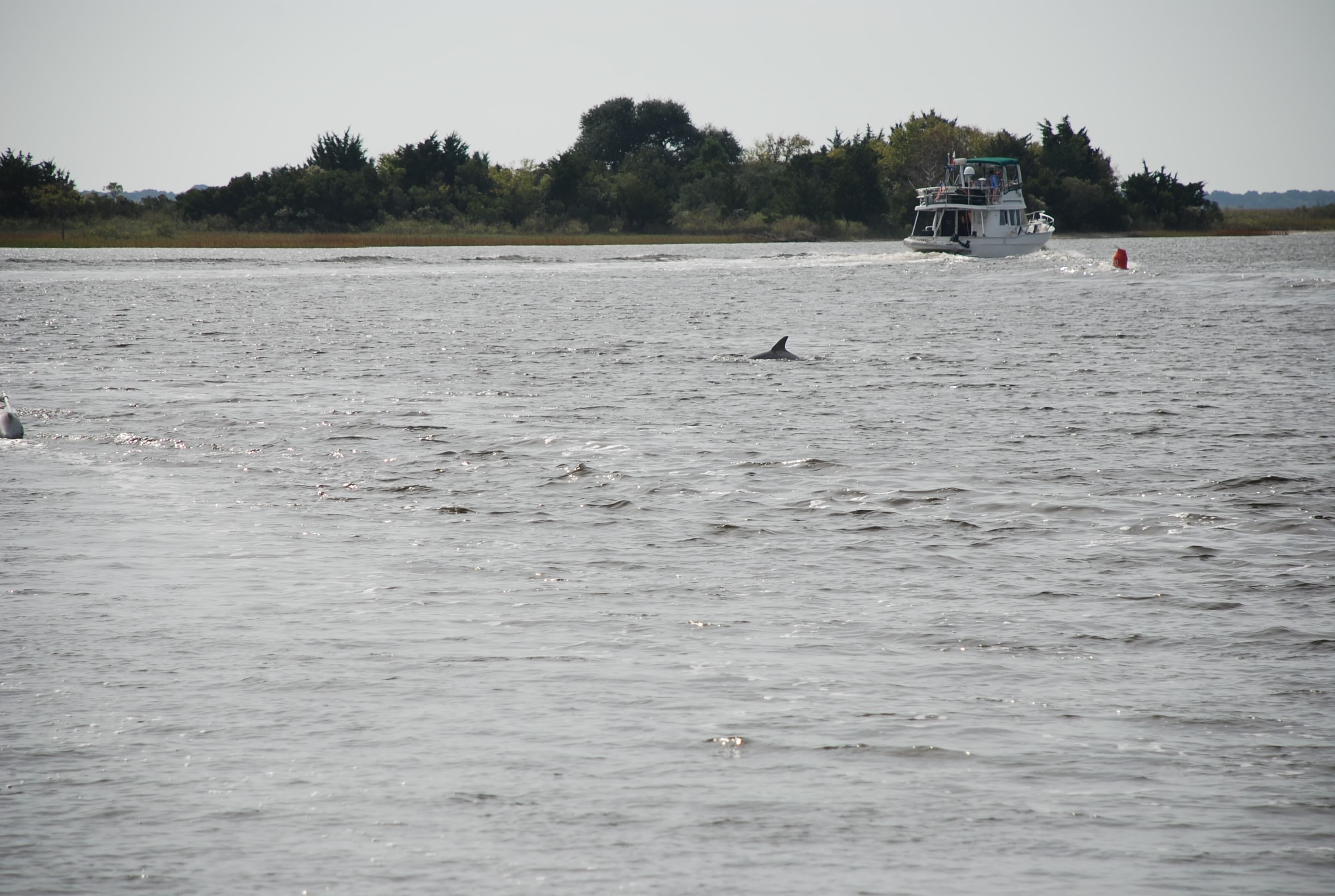
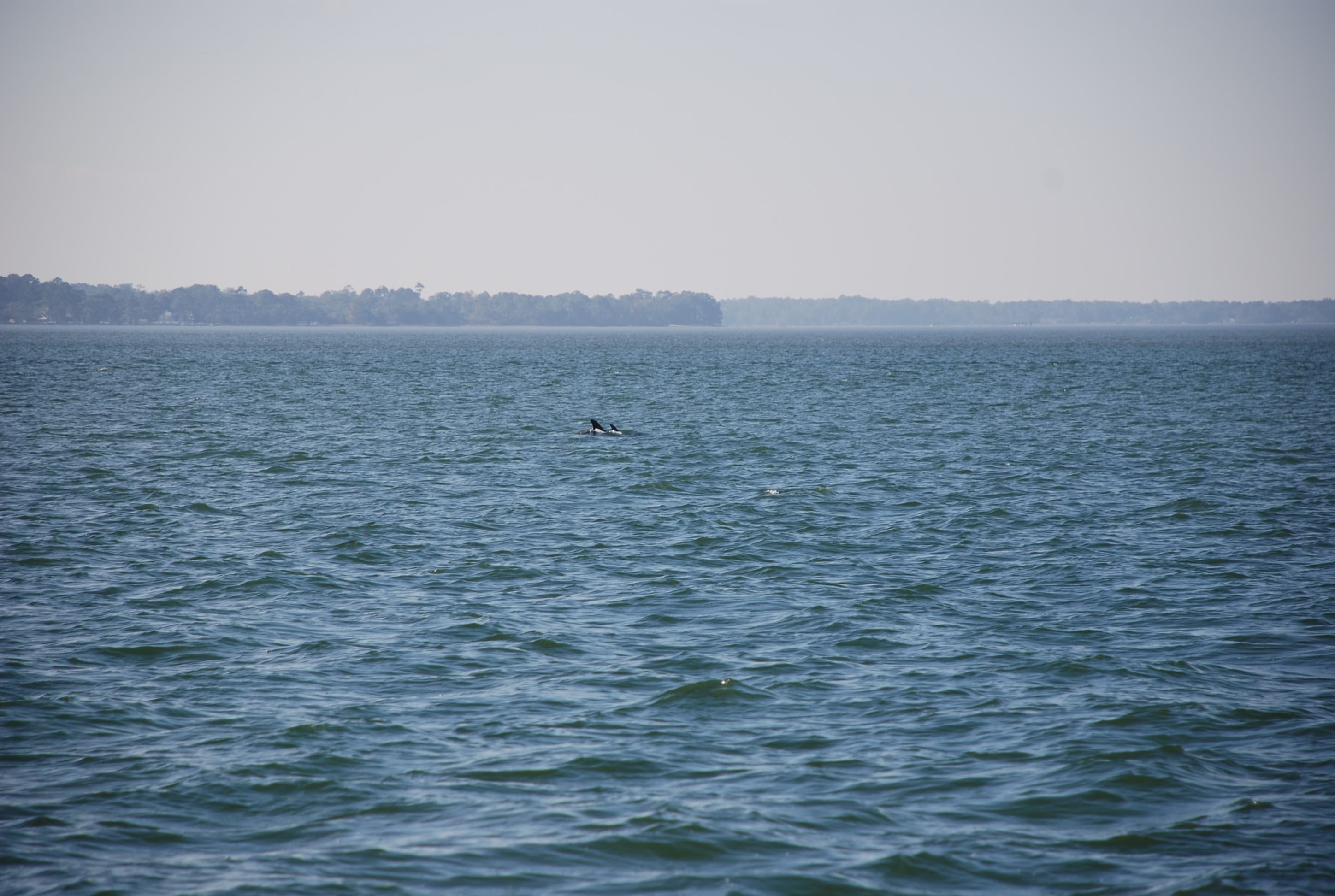
We saw pods of dolphins again today:
DSC_0129
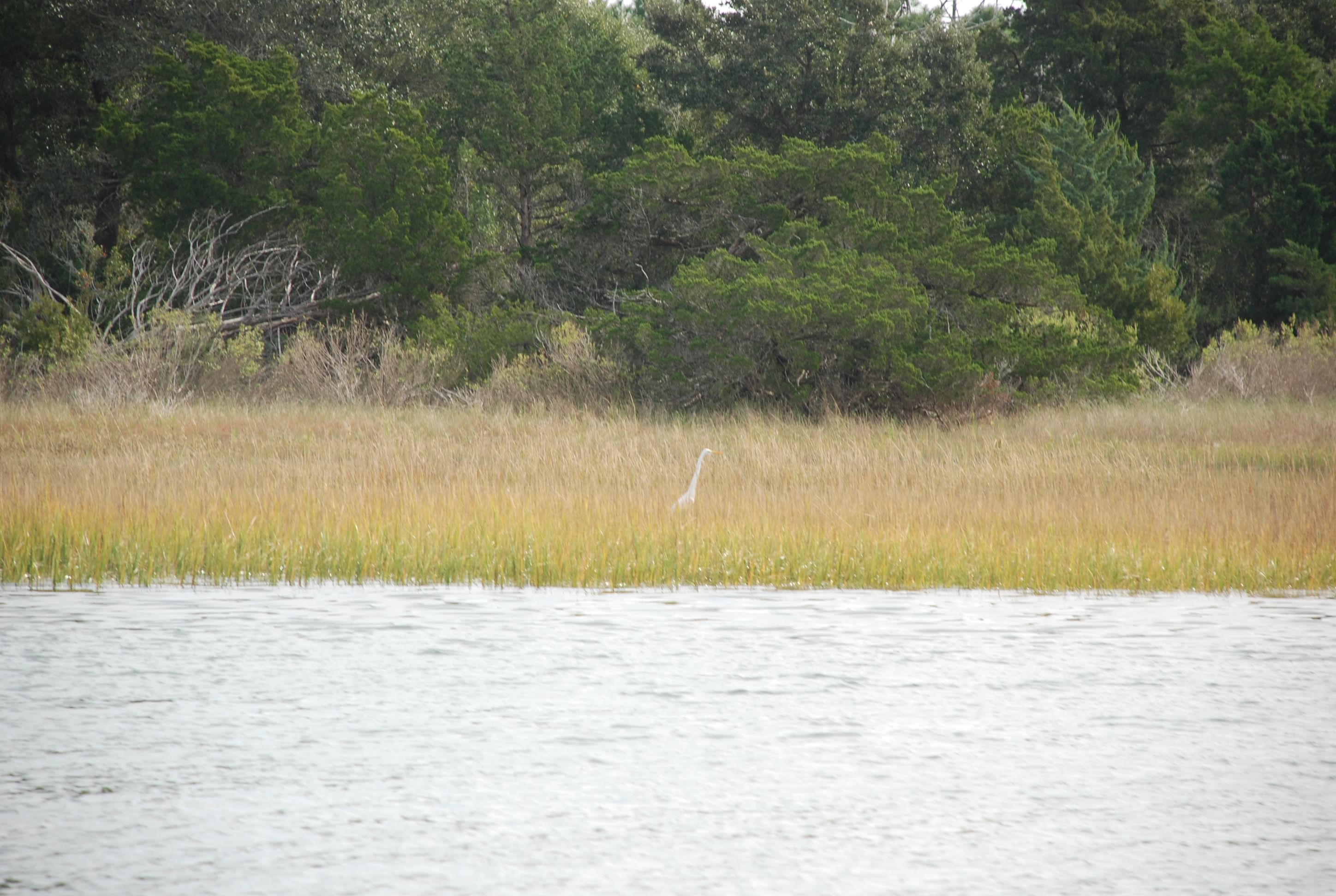
They were really close today. And also saw Egrets:
DSC_0143
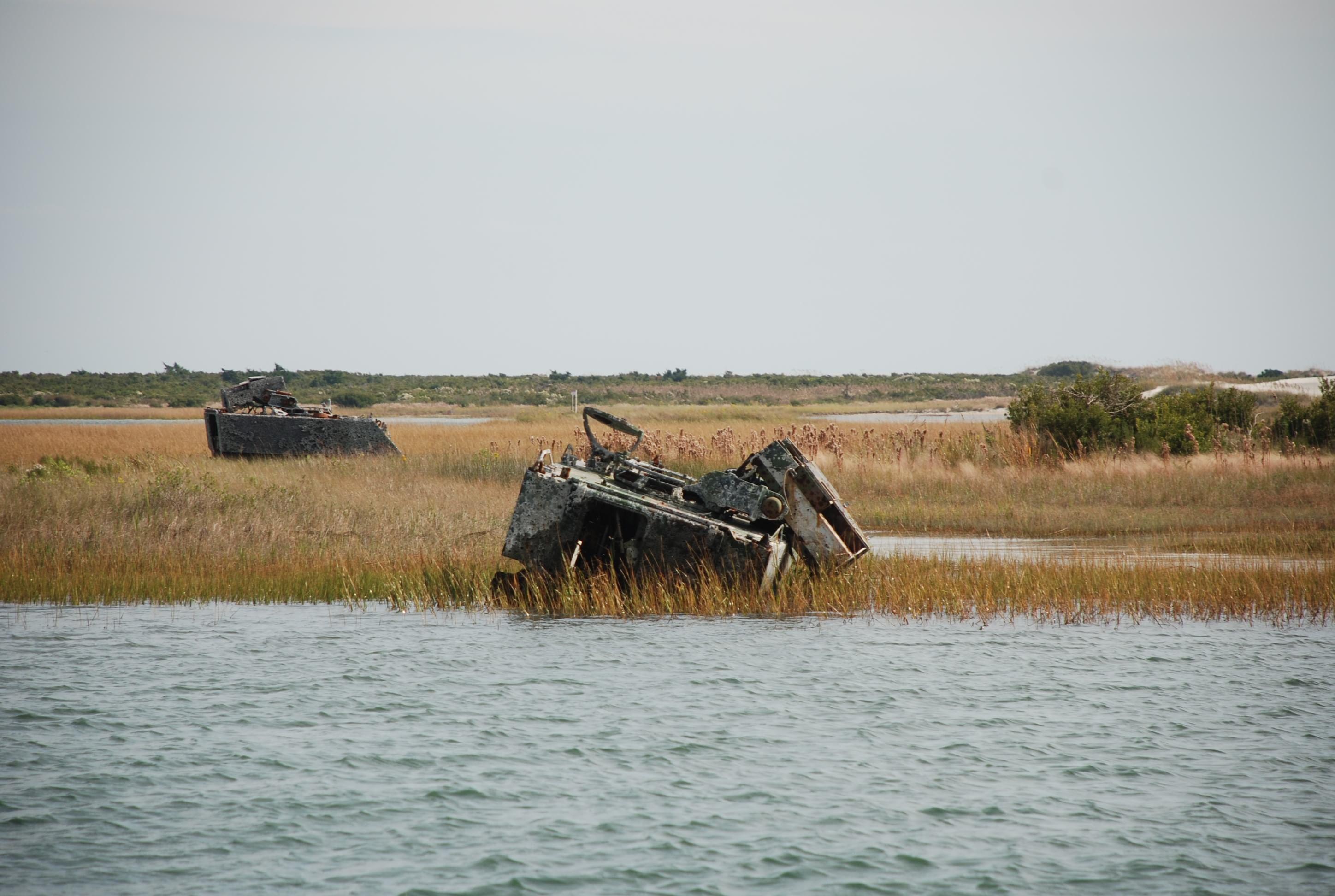
And then some abandoned military equipment:
DSC_0159
As we came close to Camp Lejune, we could hear the firing. They blocked the ICW off until noon so they could complete their firing exercises.

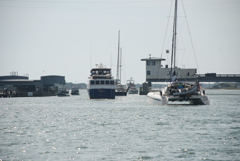
There was a long line of boats heading south, it was incredible. Here is the group we went through the Onslow Beach Swing Bridge with:DSC_0169

As we came in to the New River Inlet we ducked into one of the only anchorages in this section of the ICW, called Mile Hammock Bay. It is on the south side of Camp Lejeune and is known to be an anchorage of poor holding. We pulled in and the place was packed with boats. We tried to anchor in the southern portion of the dredged area but could not get the anchor to set (probably why there was still open space where we tried to anchor). We dropped back to the north side and set the anchor, but we were really close to other boats, and the swing proximity of the boats at anchor could have caused collisions. We didn’t like the spot, and didn’t have any other room, so we bolted for a marina. There are only 2 in the New River area, one was full so we went to New River Marina…another version of deliverance county, but the people were really nice and we were alone on the fuel dock. A few minutes after we docked, another power boat came in for fuel, and then that was it. Nice and quiet.

I was walking back from the bathroom when a pickup truck pulled up beside me and asked if I was on that boat, pointing to the fuel dock. I said yes, and the guy went ballistic, pointing his finger and yelling in a rage of anger that could easily invoke a stroke or heart attack. He accused me of causing a huge wake that almost tipped the local fishing boats over and told me of a story where a local guy got capsized from a boat wake and was killed. Part of the conversation went like this:
Guy: “You people need to think about others. They shoot people in North Carolina for doing that”
Me: “Doing what?”
Guy:”Driving a boat like that. You should be ashamed. You should have your ass kicked. They shoot people in North Carolina for that!”
Me:”Look…I am sorry but I don’t know what I did.” I am thinking…I have a sailboat…I can’t make a wake that would tip your beer over let alone capsize someone.
Guy:”Don’t give me that. You don’t know how to drive or you are stupid and ignorant…blah, blah, blah”
I want to choke this guy, but I had visions of him getting his red neck fishing buddies in the middle of the night at messing up our boat with crow bars. So I ignore him and walk back to the boat. I take one step on to the boat and he says:
“You are on the sailboat?”
Me:”Yes”
Guy:”Sorry man…I meant this power boat” (the one fueling next to us) And he proceeds to rain the wrath of hell on these guys for making a wake. He was really pissed off and I had visions of a mass shooting! He took off and everything mellowed out, which is the normal state of life in Sneads Ferry. It is a very laid back and beautiful place. We talked to several of the locals and they were very friendly and trustworthy. Many were retired military. Nothing fancy here, but nice and quiet, and very beautiful. Glad we tied up here. A piece of paradise in it’s own right. I’ll try to get some pics of the marina in the morning and post tomorrow…what a hoot!

Beaufort, NC…pronounced bow-fort

10/28/14
Beaufort NC, ICW, Town Creek Marina
Position: 34 43.516N, 76 39.898W
Posted by Bill

I started the day with troubleshooting the alternator problems. Following the manual I did a step by step check as specified, and arrived at the notorious “call customer support”. Tricia did some laundry and I washed the boat. Another beautiful day with a high around 77. We left Oriental and transited Adams Creek to Beaufort. Adams creek was really picturesque with the pine tree shore lines:
DSC_0062
DSC_0063

As we worked our way south, we started to see more and more houses:
DSC_0066
DSC_0083
Some were pretty impressive. Adams Creek was cool but at several points in the middle of the channel our depth sounder went to 0! I don’t think we went aground but it was a sphincter puckering event for sure!

As we came out of Adams Creek we had our first dolphin sighting just off the starboard beam:
DSC_0085
We saw several pairs of them. It was exciting! We’ve been waiting for the opportunity to see them.

We made the turn into the Town Creek area where we were going to grab a slip at Town Creek Marina. We wanted to pump out our holding tank first, so we got directions via the marine radio. The directions she gave didn’t jive with the guy waiting for us on the dock, and for good reason. She was taking us right across a shoal and we ran aground in mud. I was able to back it off and follow the directions from the guy on the dock, which were good. Then we went to our slip. Man it is tight in these slips, and you are docking with wind and currents…I was glad to get Island Bound in to the slip and have a drink!

We walked into town and checked out the main drag along the waterfront. Lots of bars, restaurants, and shopping. Beaufort has so much history with pirates, wars and just general sailing scalawags! We chowed on shrimp and came back to the boat. I guess we are going to have to limp along with the intermittent alternator, because the marine services team here is swamped. They said this is the largest group of people going south that they have seen in a long time…maybe forever. Hard to figure out why…duh…snow coming this Friday in northern Ohio…mid 70s here.

The main drag in Beaufort NC:
Beaufort NC

The famous Oriental

10/27/14
Oriental NC, ICW
Position: 35 01.785N, 76 40.890W
Posted by Bill

We traversed a little over 40 nautical miles today, a pretty normal day for our travels, ending up in Oriental NC, in Whitaker Creek. We have been hearing and reading so much about Oriental, and how many cruisers end up here when they are done living on their boats, and our expectations were high. The passage was really nice, warm, sunny, light winds. We traveled through part of the Pamlico sound and some pretty treacherous passages when the wind is crazy bad. We lucked out today.

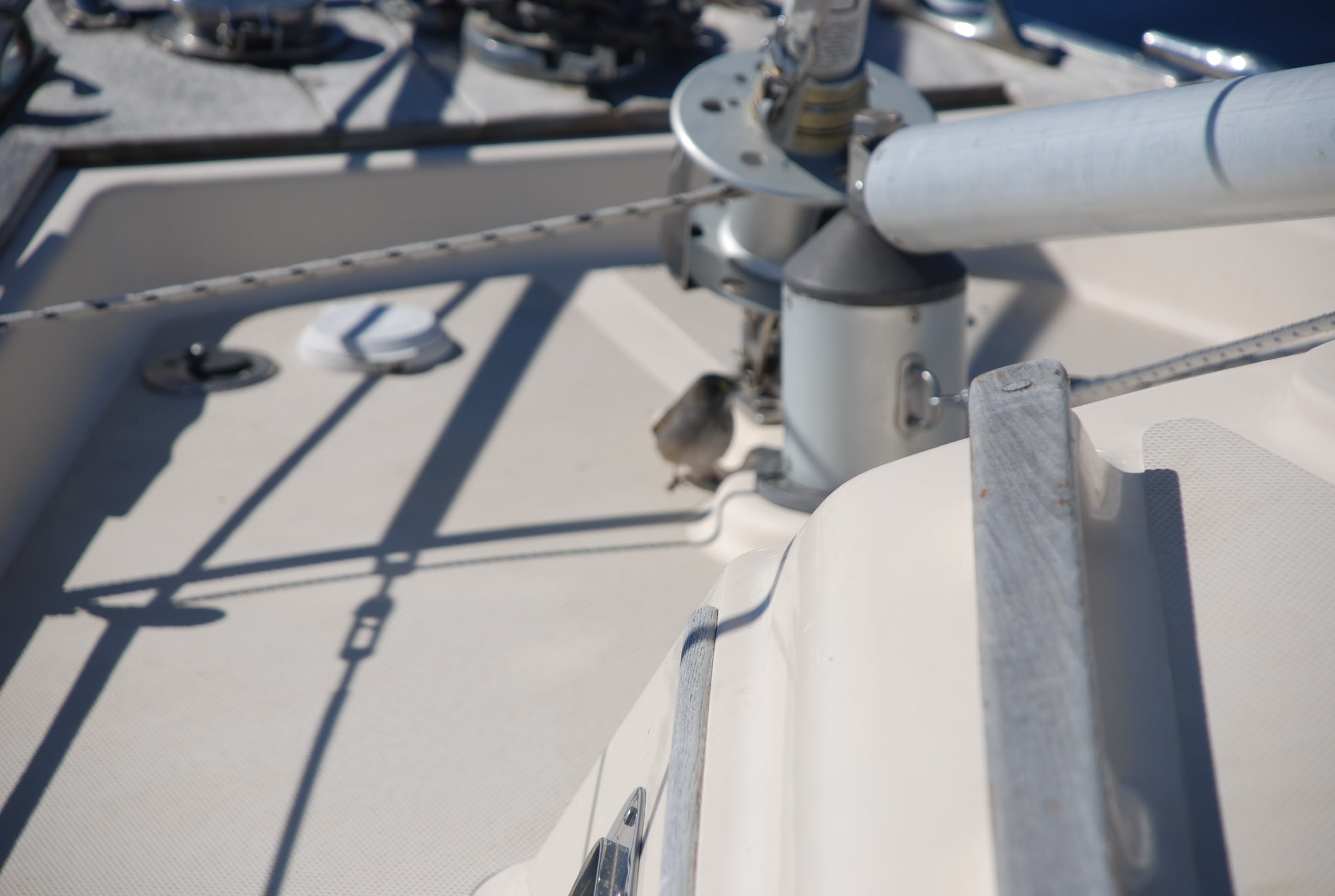
Along the way we picked up a stowaway…a small sparrow. It landed on the boat and tried to hide from us, jumping around the boat. It looked like it was injured as it would jump from spot to spot on the boat and not be able to fly away.
DSC_0027

We landed at Whitaker Point Marina and it is extremely nice. Part of their amenities include a free shuttle car that we used to make a run to the liquor store. We were down to our last bottle of vodka… heaven forbid!!! We stocked up and went to the grocery and marine store, making it back in time for sunset. This marina is very very nice.
DSC_0037
DSC_0035
Oriental was not what it was hyped to be but is a nice town.

Today’s drama was courtesy of the alternator that charges our batteries when the engine is running. It has been intermittently not charging. The intermittent nature makes it very tough to pinpoint the problem and deal with it, and today it just plain didn’t work. The batteries were really low after a night anchored out, so I set up the generator that we use to charge the batteries when anchored out, running it while we were motoring. The last 45 minutes, I disconnected the generator and the alternator did it’s job. I’ll dig in to it more tomorrow..

All of the people we meet living on their boat say the same thing…something is always breaking! The nature of boats.

Another nice sunset:
DSC_0049
DSC_0051

Blasting to Bellhaven

10/26/14
Bellhaven, NC, ICW
Position: 35 32.023N, 76 37.370W
Posted by Bill

From the Aligator River, we entered the Aligator-Pungo River Canal. It is really remote, and they tell you in the cruising guide that you had better stay in the channel because the edges are fraught with obstructions, both seen and unseen. It was pretty damn boring for the most part, but because it was protected, we had a break from the NW winds that were blowing like snot (still). It got up to 78 degrees today…shorts and T-shirts baby!!

When we left the canal and entered the Pungo River, the wind protection ended and we got our asses kicked again by 25+ knot winds. I gotta tell you…I am getting tired of that!

We anchored in Bellhaven with some minor protection from the wind and anchored. Most everyone else went somewhere else with more protection, but I believed that the winds were going to die down in the late afternoon as forecasted. Besides, after 2 days in “Deliverance County” we needed to see the town…all 2 streets. It is actually a nice waterfront and the town is trying to appeal to the cruising community. We ate at Jack’s and the foot was very very good. A bit of news for the other people wanting to cruise here: The free dock is not free anymore, but they are thinking of making it free again; and, you can in fact get to the docks if you draw 6 feet or less.

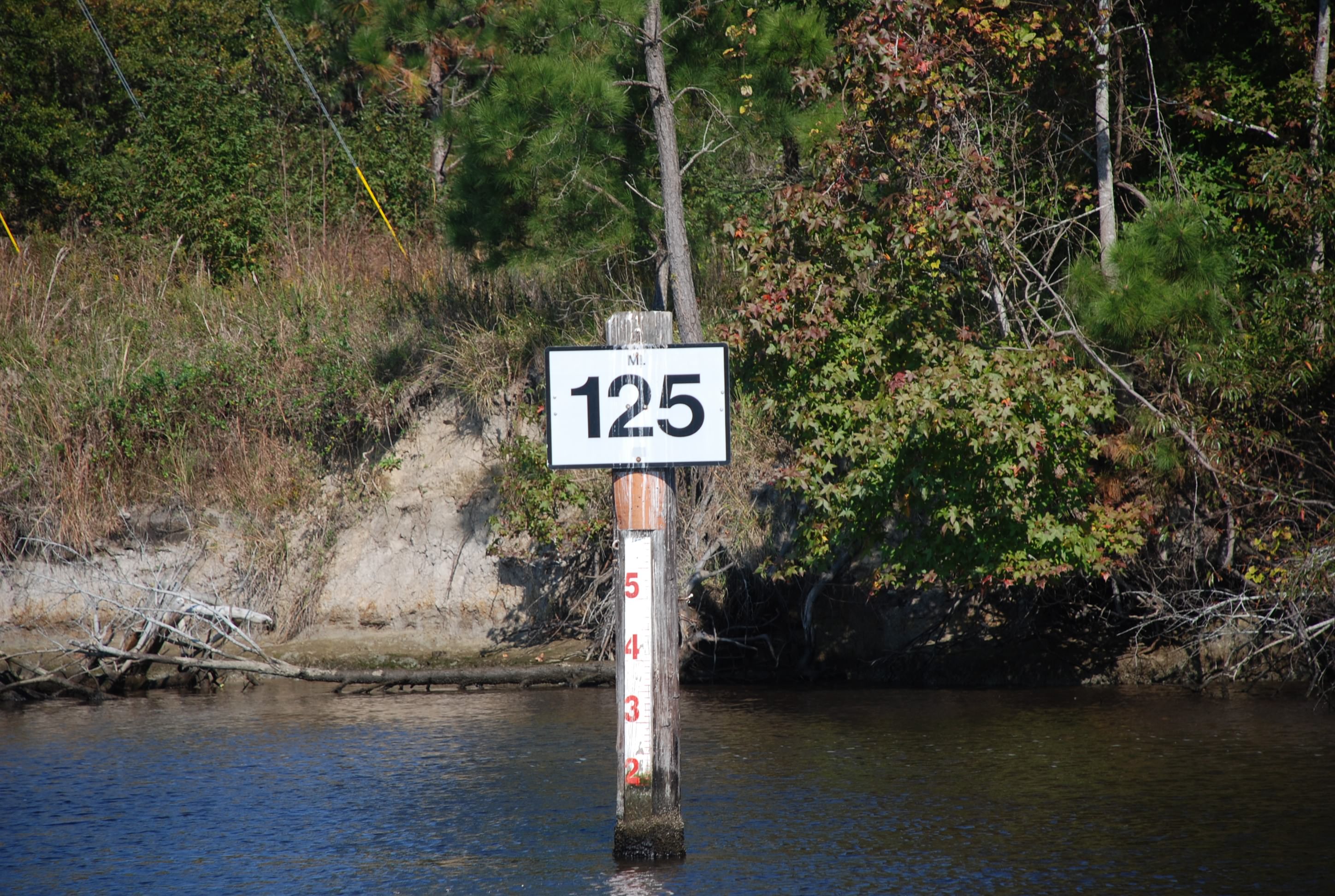
For people that don’t know, the ICW is maintained by the Army Core of Engineers. It was originally developed for military travel via the water, but has become a major waterway for commercial and pleasure craft as an alternative to traversing open ocean waters. The most traveled portion is from Norfolk VA to Key West FL. The waterway is measured in statute miles and everyone refers to locations along the way by mile marker. Here is a pic of a mile marker:
DSC_0872

Pictures along the Aligator-Pungo River Canal:
DSC_0851
DSC_0857
DSC_0862
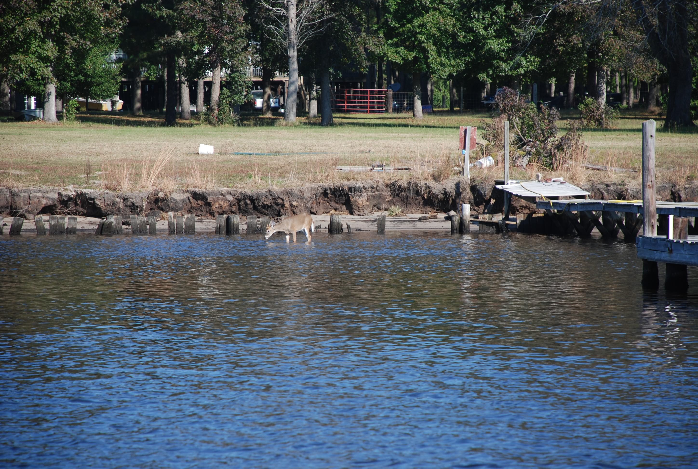
(yes that is a deer, and they swim across the canal)
DSC_0875
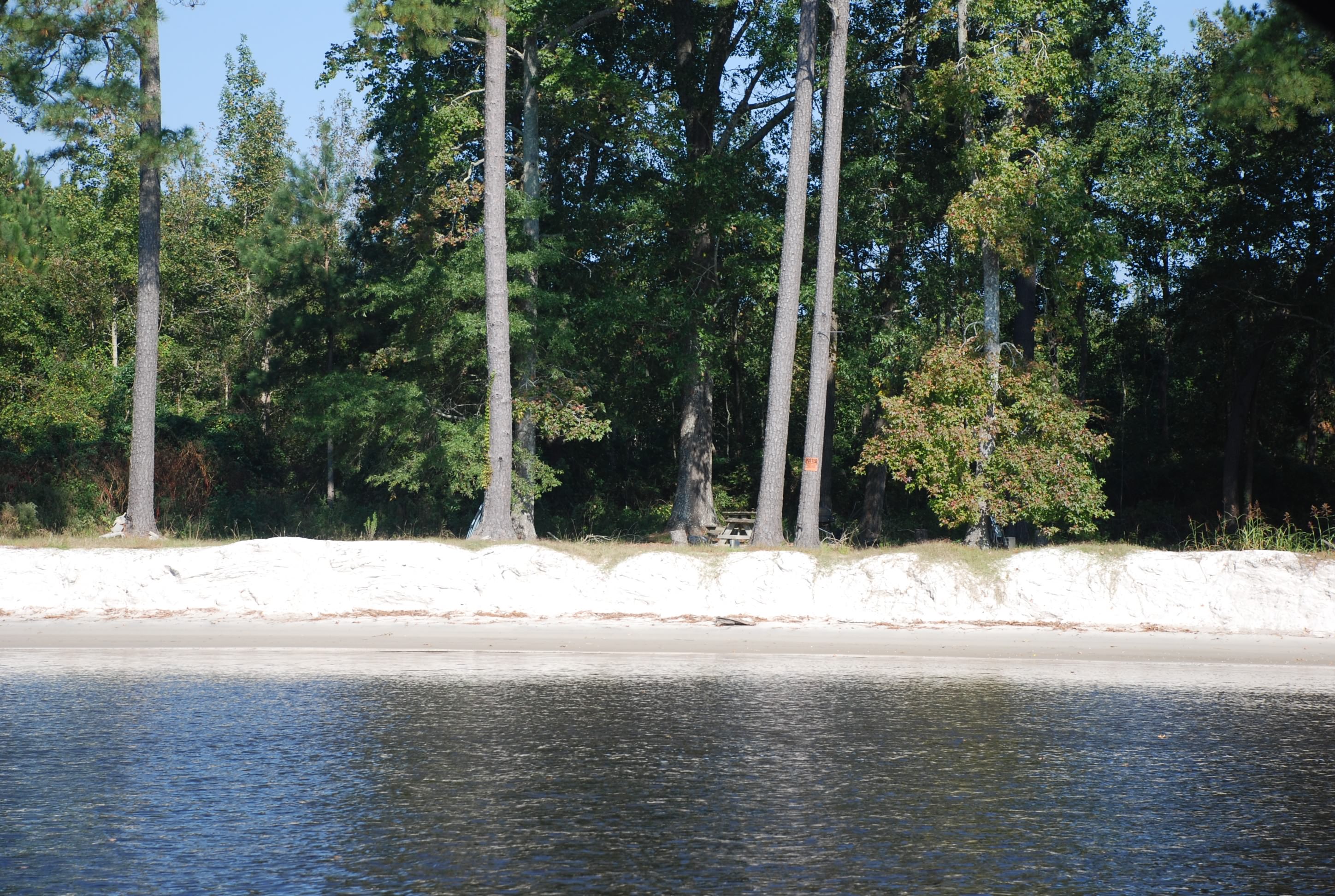
(the edges are sand…yea! that means close to the beach!)
DSC_0876
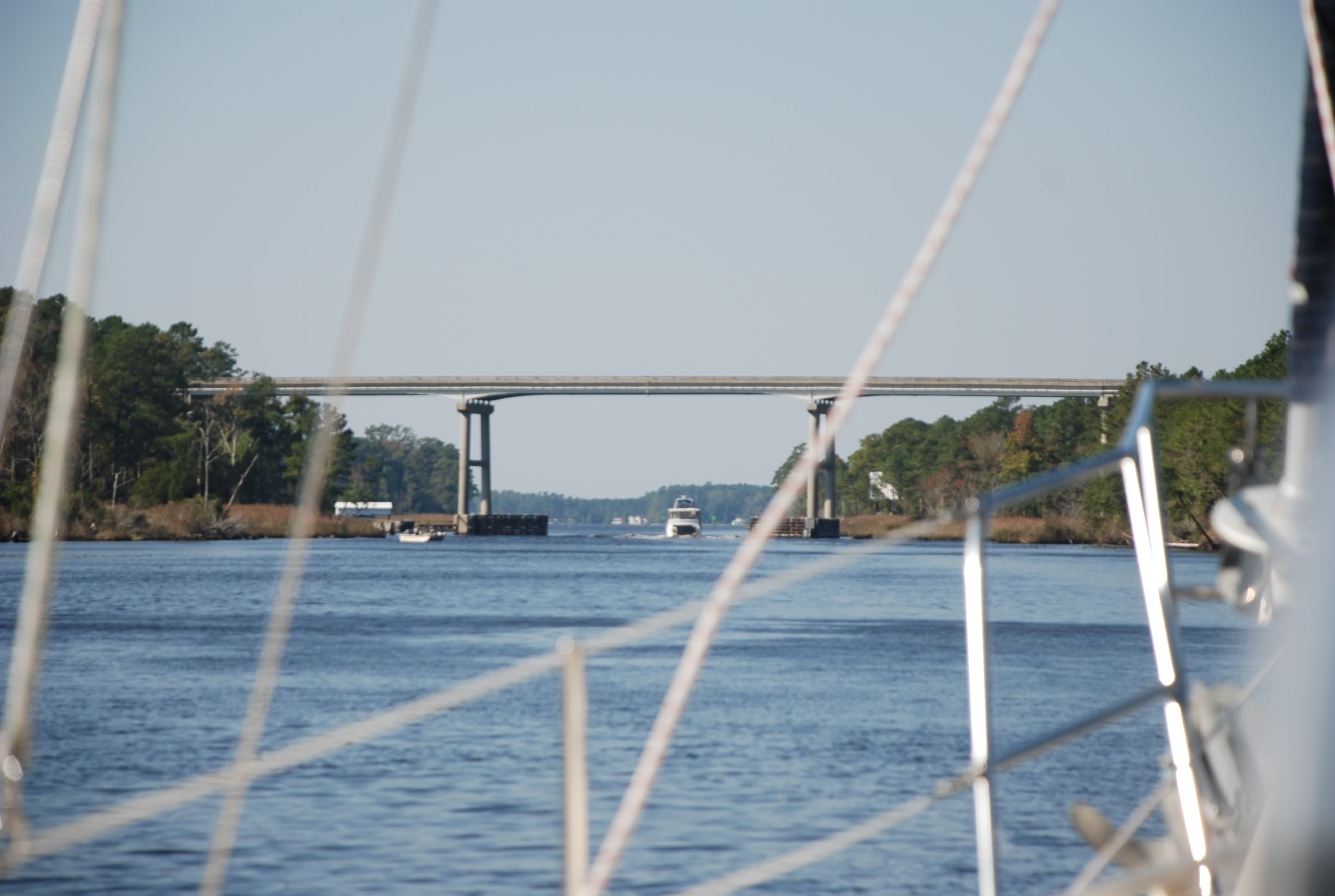
This was how high all of the bridges were today.

Pics of Bellhaven and today’s sunset:
DSC_0884
DSC_0886
DSC_0888
DSC_0897
Notice that it did calm down as forecasted and we had a beautiful, secluded anchorage to view the sunset. Now to get some sleep!

The “I can’t here you now” river…aka Aligator River

10/25/14
Aligator River, NC ICW
Position: 35 39.9N, 76 02.163W
Posted by Bill

Leaving Coinjock (where did they get that name anyway??), we traversed a remote area of North Carolina between the mainland and the Outer Banks. Some of it was wooded, most comprised of marshes, and we also traveled across Albemarle Sound. This part of the trip can be a real ass kicking if the winds are up. Fortuneately for us…it was beautiful and warm.

We settled at the bottom of the Aligator River for the night. The winds had picked up out of the NE and were forecasted to get up in the 20 knot range after midnight, move to the south and then to the NW. Try picking a spot that will protect you from all of those wind directions in one night’s stay! So we did the best, giving consideration that we needed room to drag anchor a little (hopefully a little) as the wind shifted direction each time. It got a little rough, but we held pretty good. I got up every couple of hours and checked the anchor status which sucked, but I was rewarded by a sky full of stars like I have never seen before. It was unbelievable!

The worst problem is that we had no cell converage…not even voice network. I didn’t think such a place existed any more, but it is there. Hence, blog postings are late again.

Aligator River Swing Bridge:
DSC_0789
DSC_0770

Sunset:
DSC_0815
DSC_0830
DSC_0841

First day in the ICW

10/24/14
Coinjock NC, Itracoastal Waterway (ICW)
ICW Mile Marker 50
Position: 36 21.089N, 75 56.865W
Posted by Bill

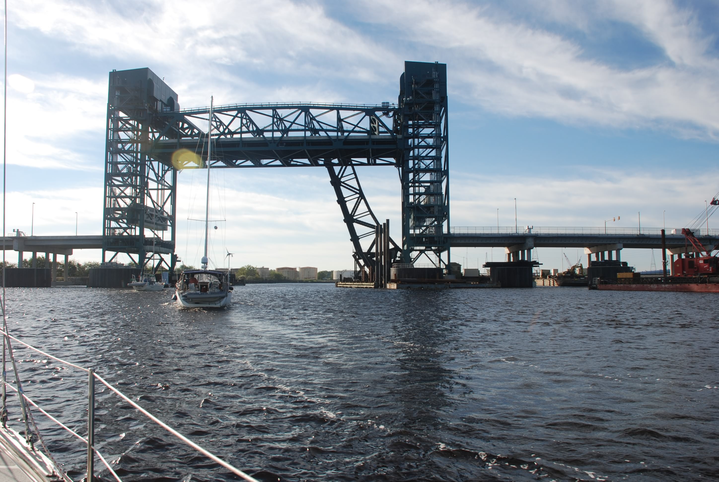
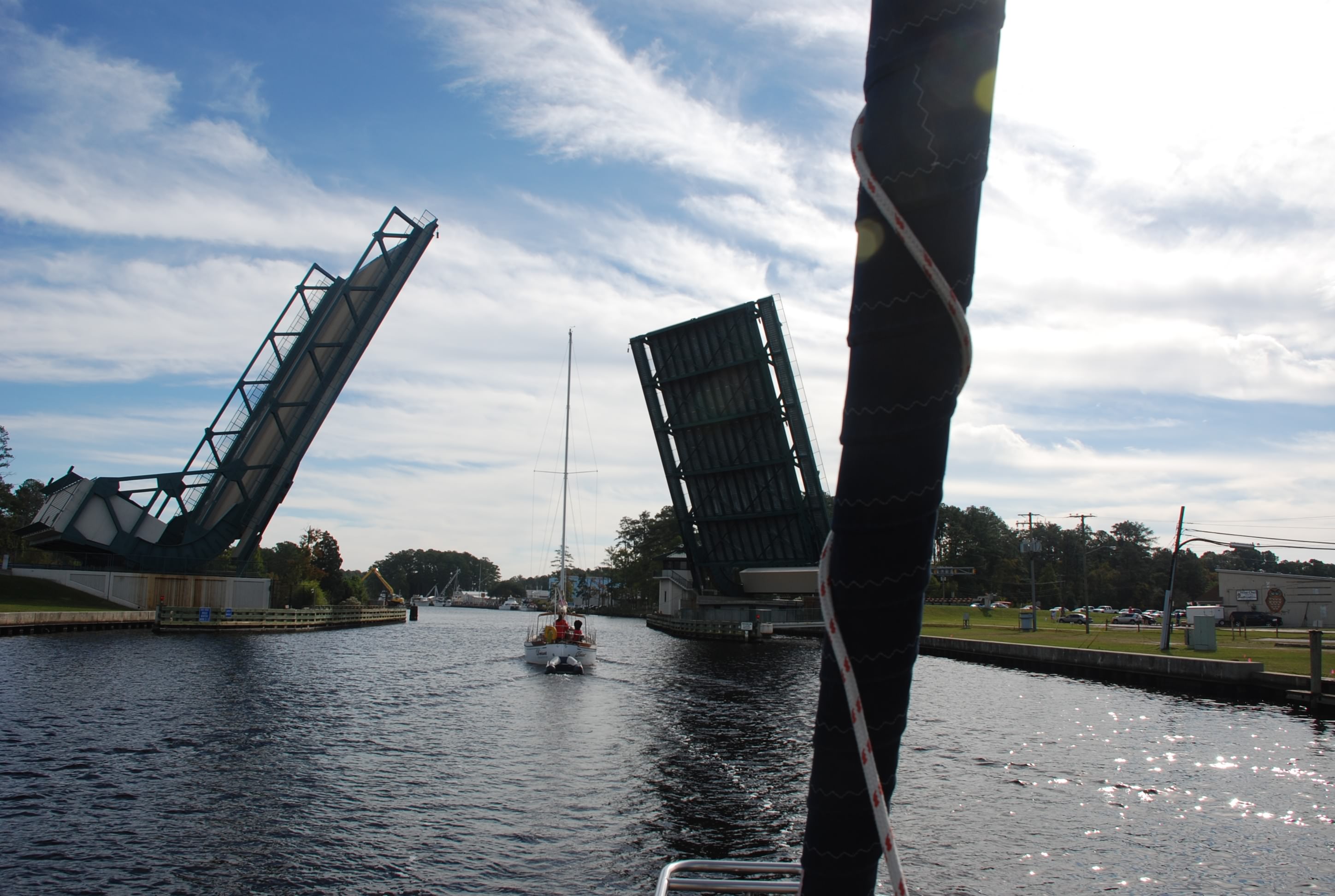
Today was our first day in the Intracoastal Waterway, from here on out abbreviated as ICW. We started early as we had to go 50 statute miles, through 5 draw bridges and a lock. The first part of the ICW was very industrial and busy with tugs, ships and naval craft. You can see the lift bridge in the picture. There are many bridges like this that lift up to let you go by. Most are train bridges and are normally left up.
DSC_0600

Then we came to the Great Bridge Lock. This lock is used to control the tidal level downstream and takes you down around 5 feet. Having done the Erie Canal, this lock was really lame! We couldn’t believe that it took 45 minutes to get through this lock. In the Waterford flight of 5 locks on the Erie Canal, we went through 3 locks in that amount of time. At least they helped you position the lines from your boat.

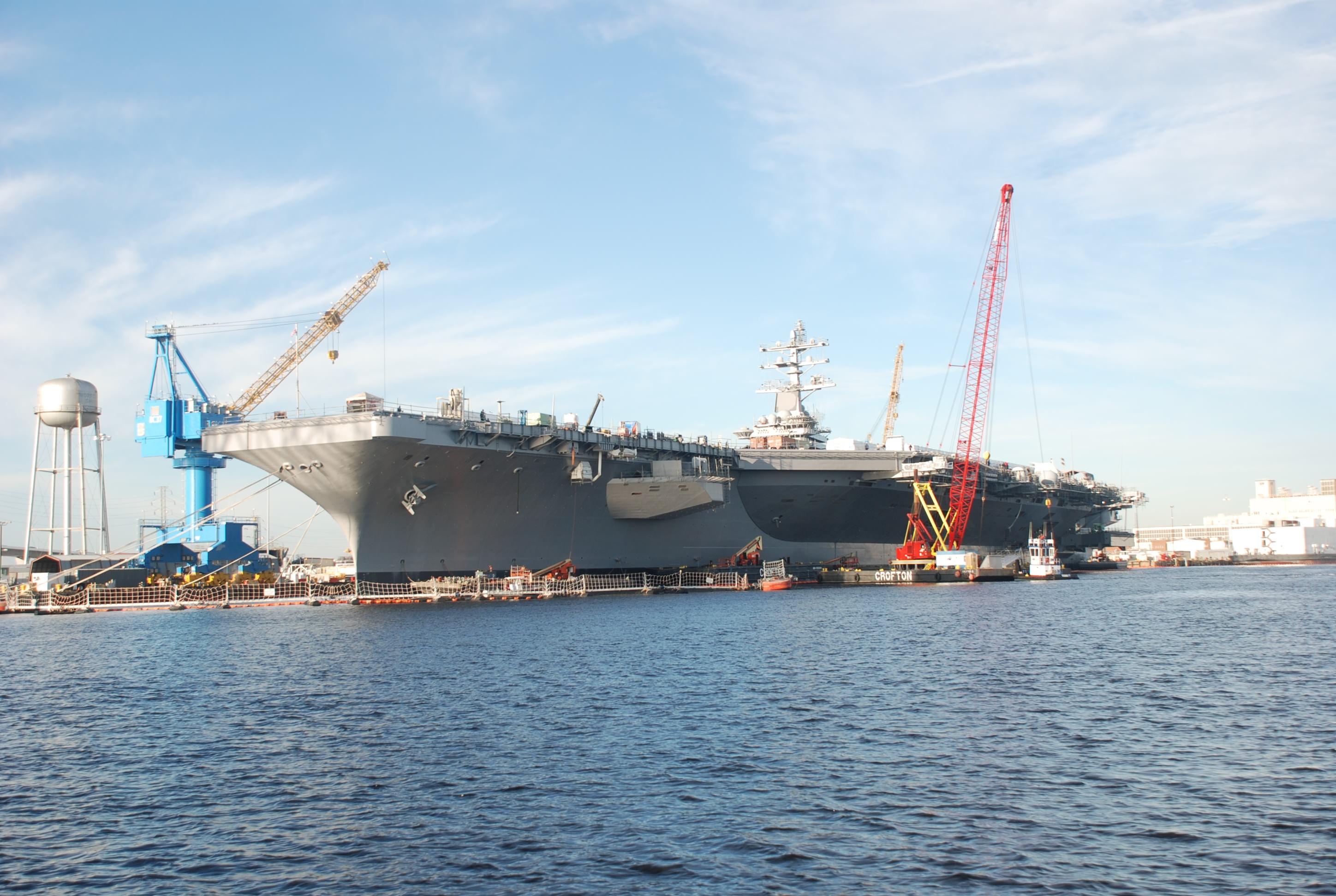
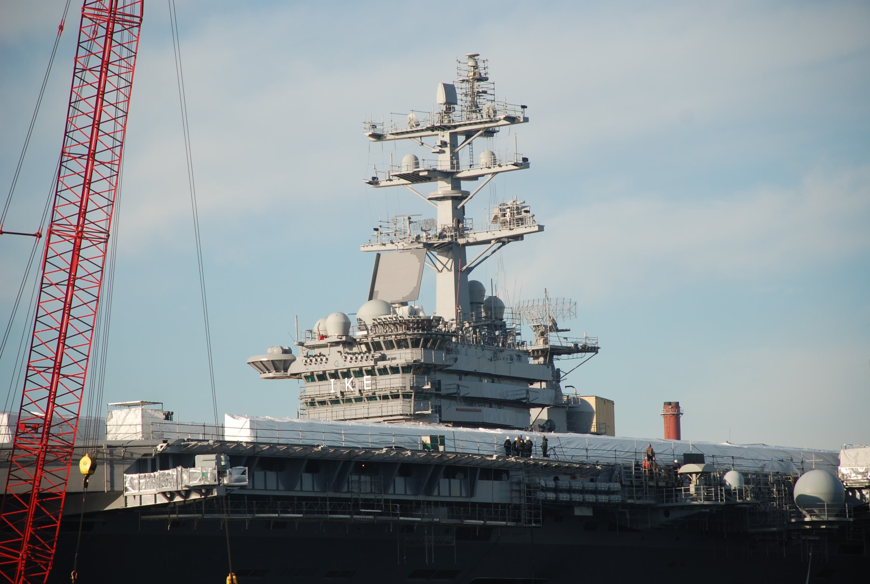
On the way to the lock we passed the USS Eisenhower aircraft carrier. It was impressive:
DSC_0578
DSC_0575

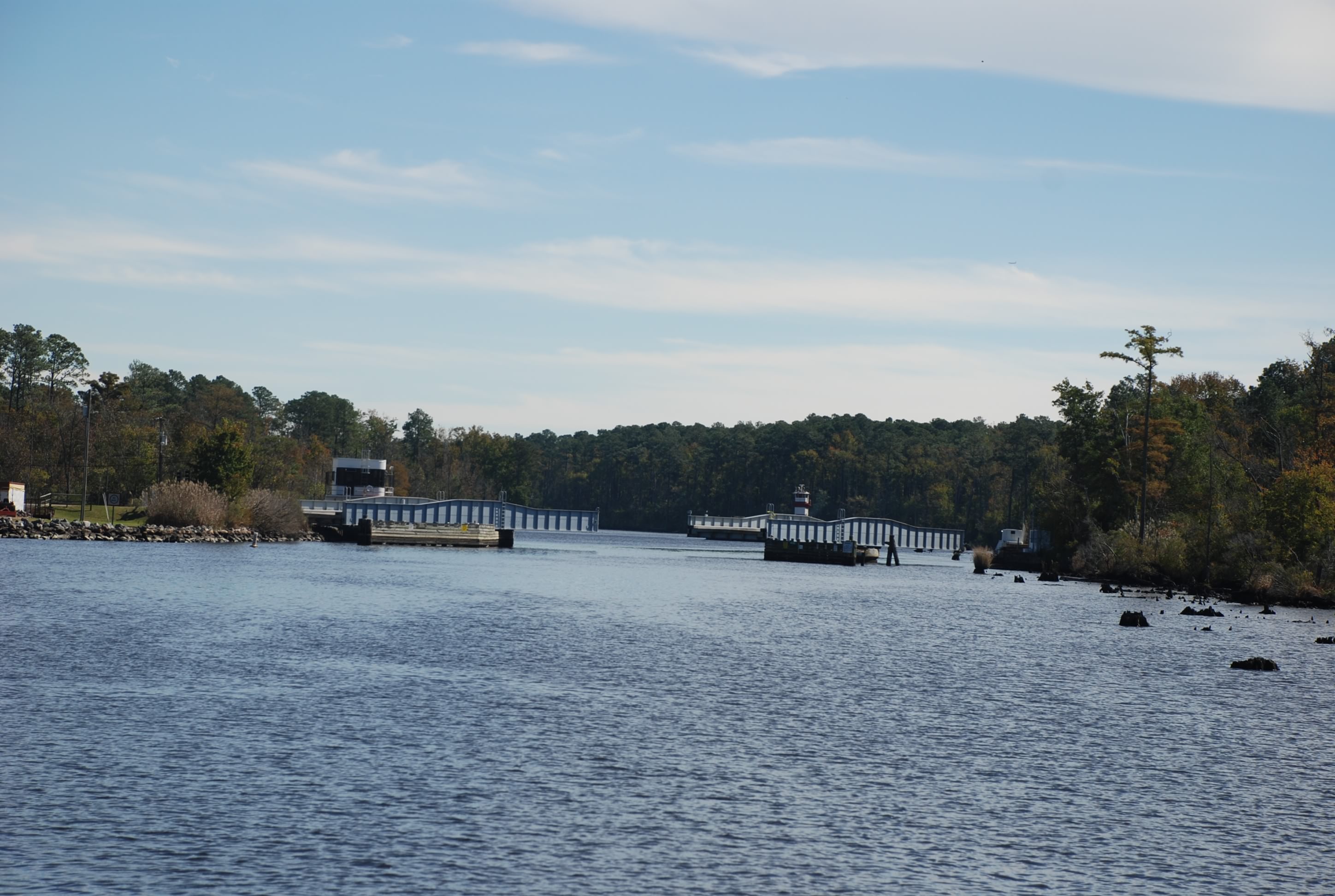
There were several other kinds of bridges including lift bridges that open at the center, and swing bridges:
DSC_0645
DSC_0673
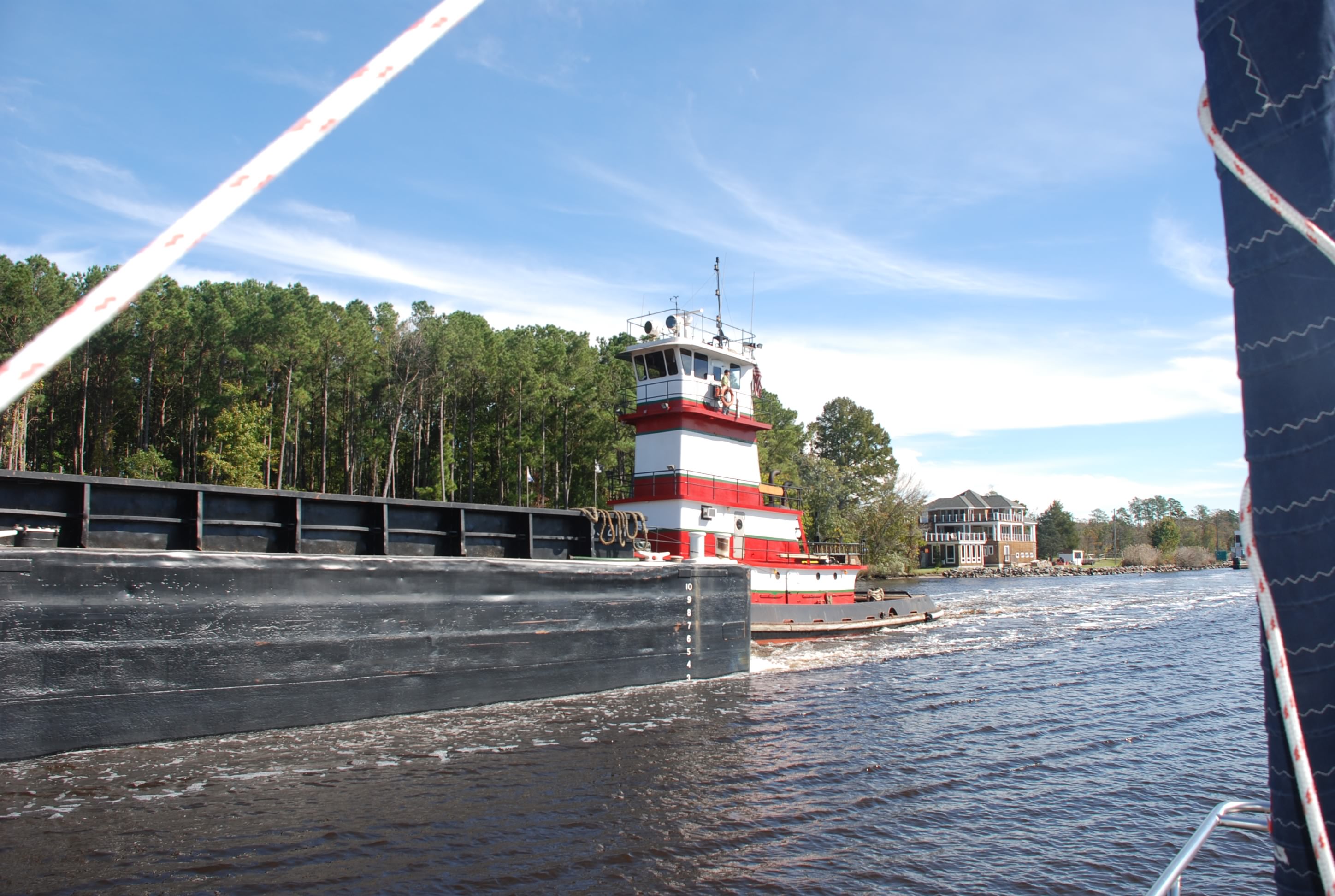
Most of the bridges and the lock operate on a restricted schedule, so you have to time your arrival or you can be waiting an hour for the next opening. At the one swing bridge a barge came through in the opposite direction and we had to wait until it passed us before we could go through. We had to move over to the side of the of the channel and hold our position to let him through. It was not easy with the winds.
DSC_0685
Especially difficult because at the edges of the channel there are stumps and submerged obstructions.
DSC_0676
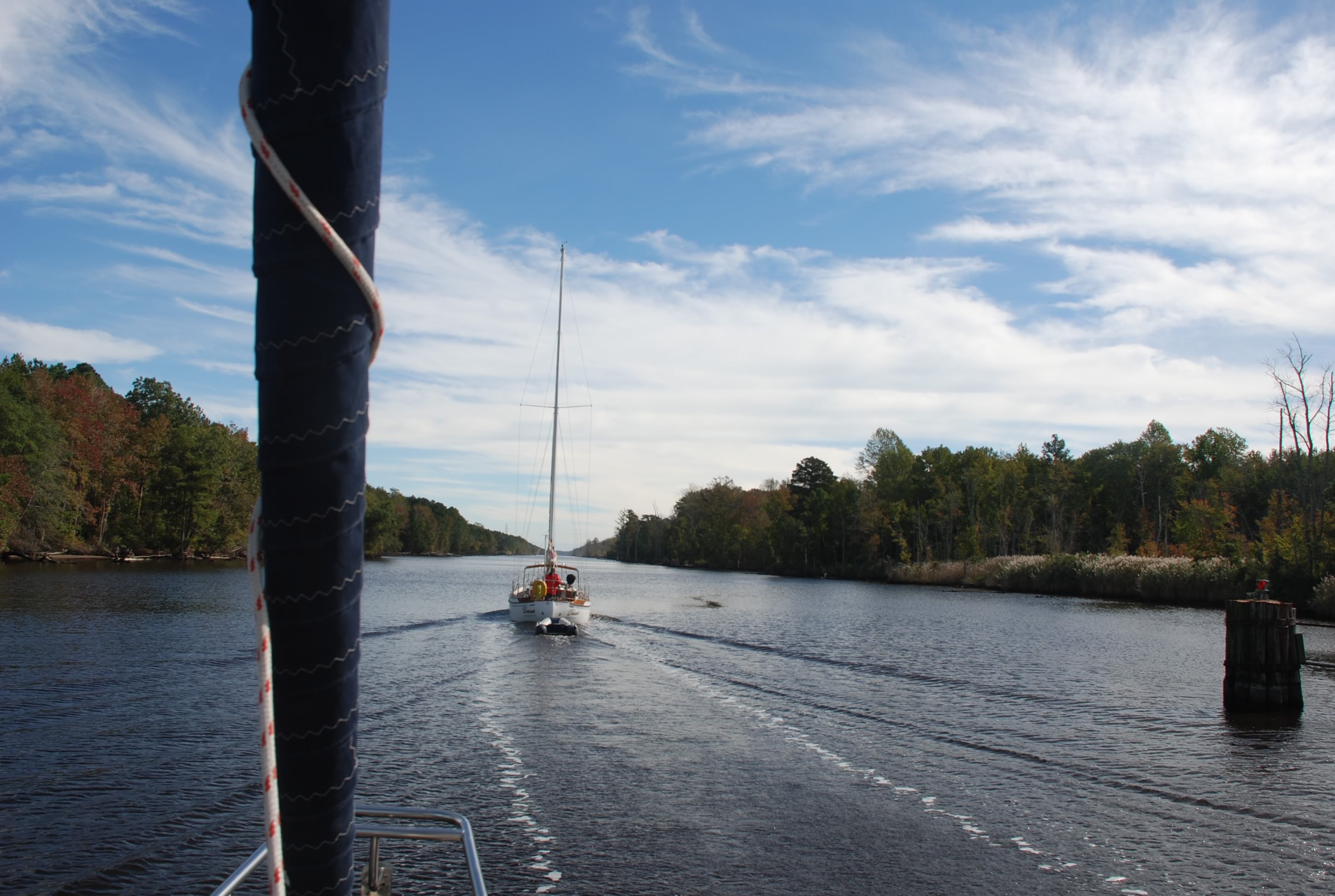
It took a lot of concentration all day to navigate the waters. It reminded us of the Erie Canal once we got out of the industrial section.
DSC_0668
DSC_0716

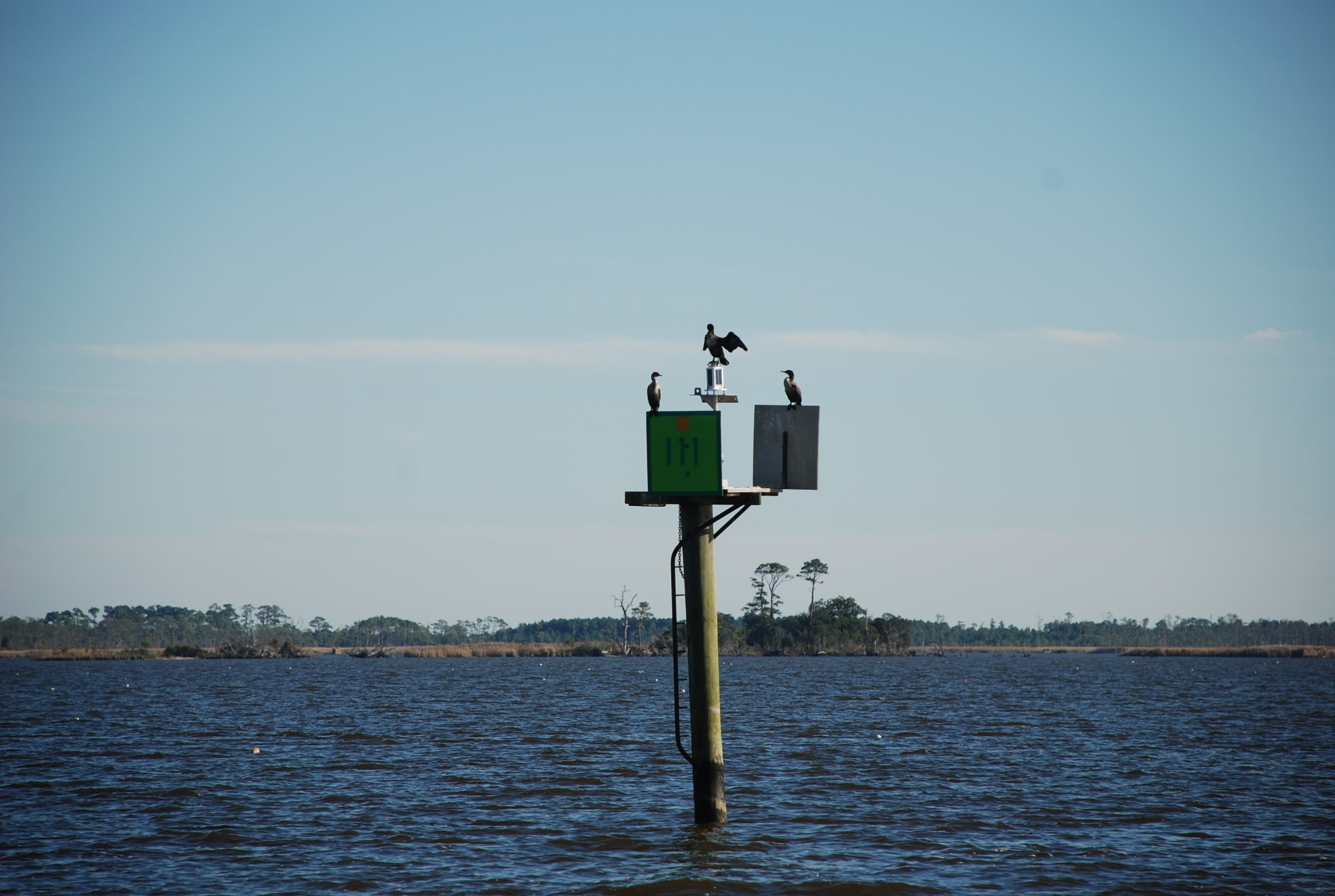
We saw lots of birds. These cormorants (at least we think that is what they are) were doing this weird pose with their wings open. Not sure what their deal was.
DSC_0713

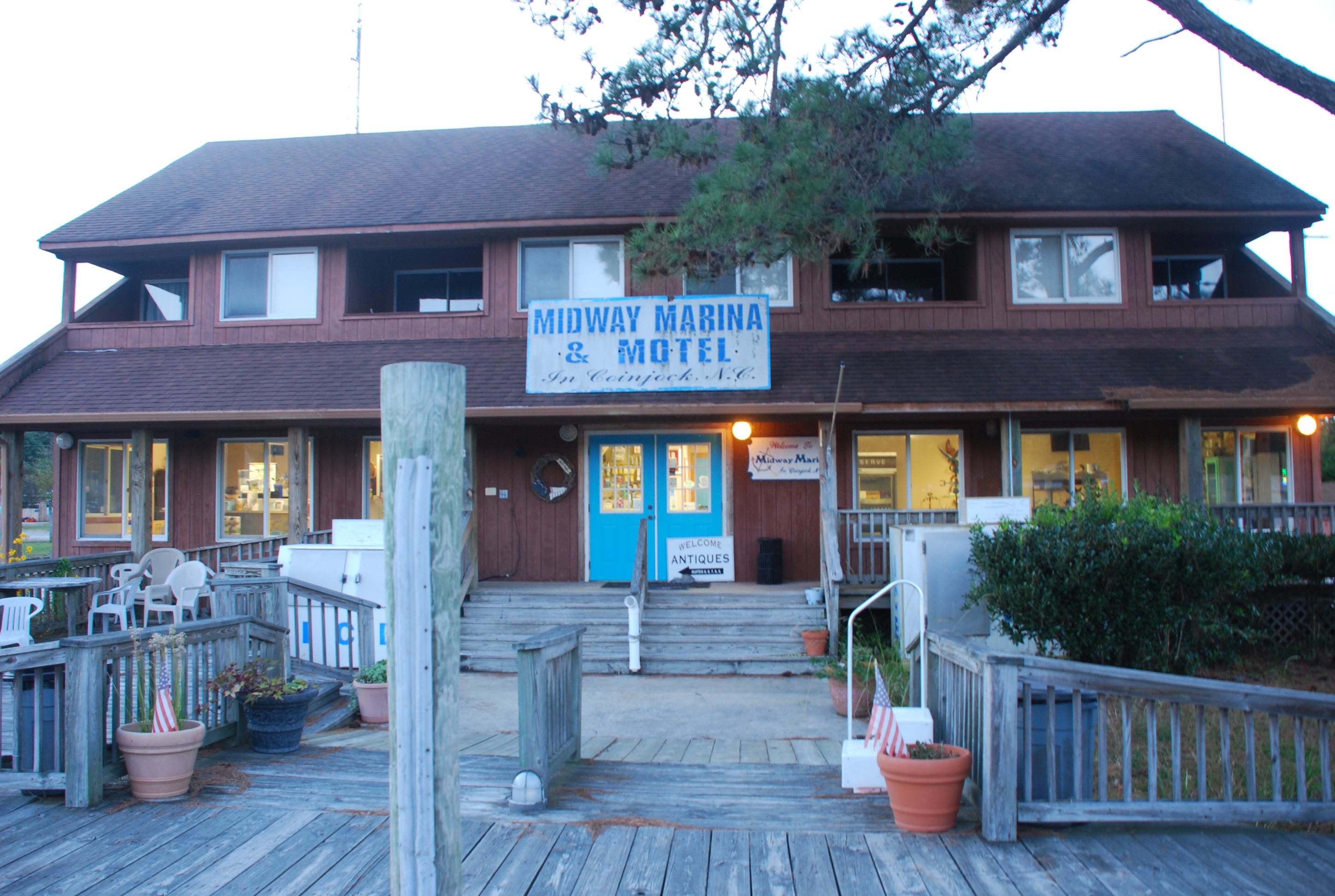
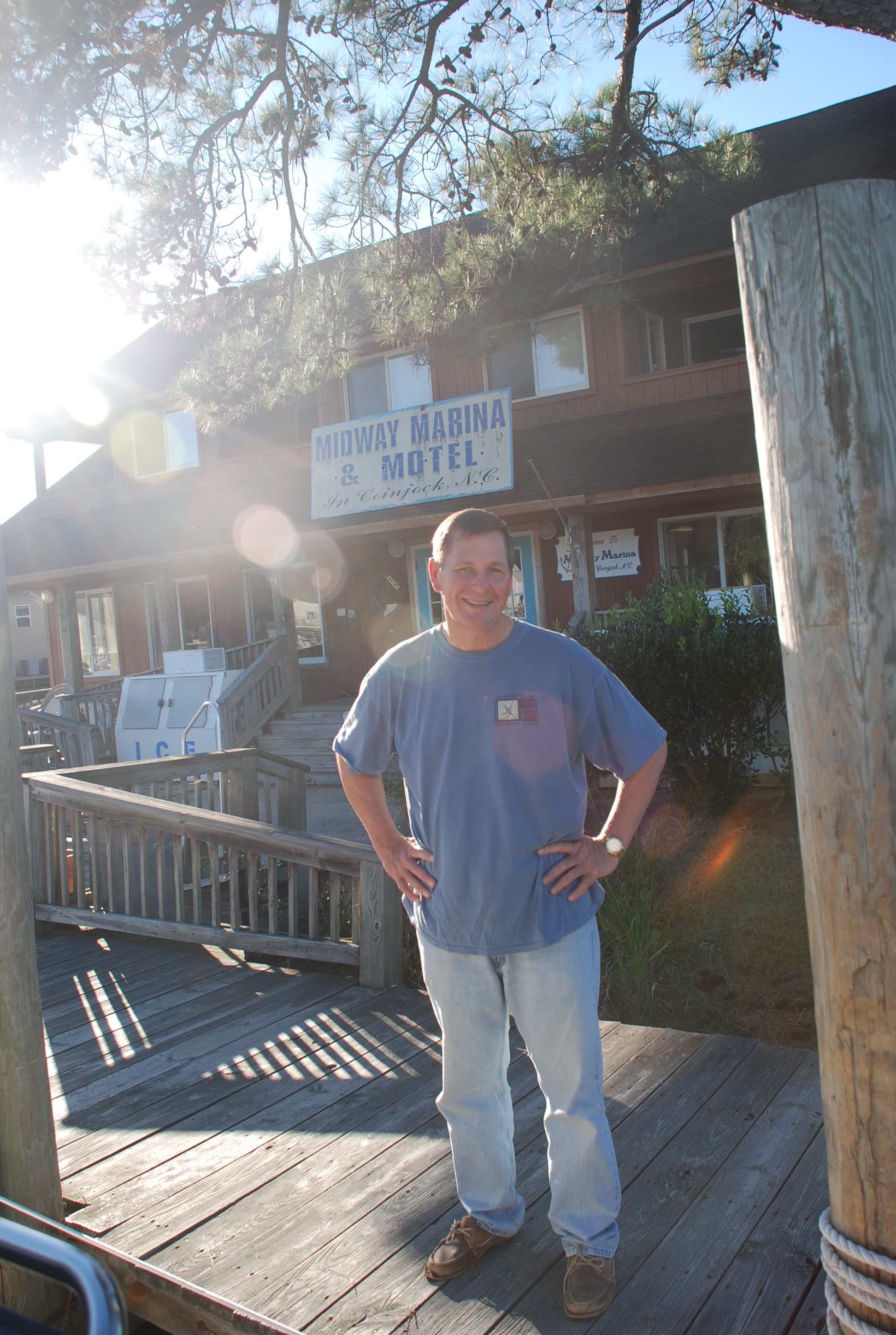
We made it to North Carolina and stopped in a remote area called Coinjock, staying at the Midway Marina and Motel.
DSC_0747
Tricia called it the “Bates Marina and Motel” and was on the lookout for Norman and his mother. I called the whole area “Deliverance County”. The people were nice as can be and we had a really good dinner at the marina. Pic of Coinjock marina across the river:
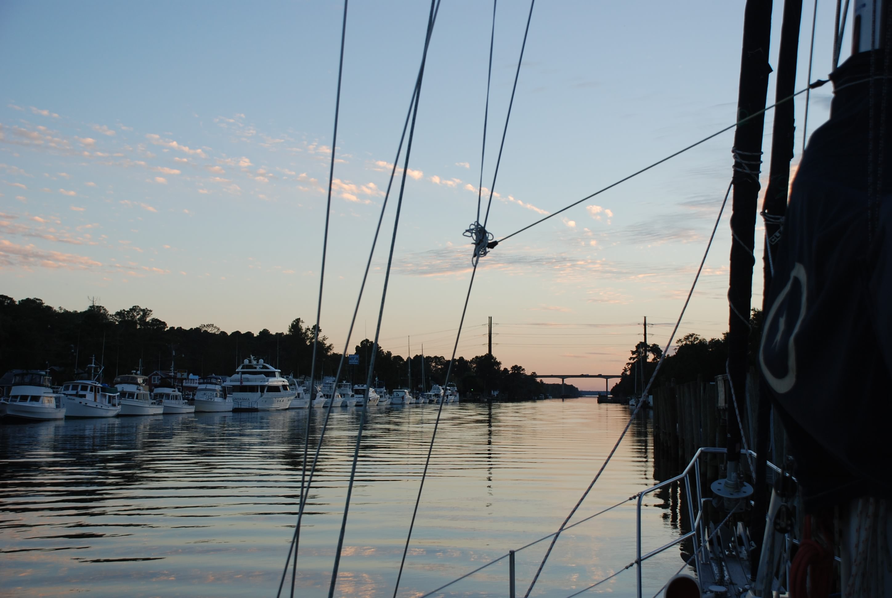
DSC_0737
Me, on the lookout for Norman:
DSC_0735

We were exhausted from the trip and passed out after dinner, so I didn’t get the blog done until today. In the middle of the night our boat lurched and it sounded like someone jumped on board. I woke up, jumped out of bed…ready to kick some ass…and it was a damned tug boat blasting by. They threw a huge wake that slammed the boat against the dock. Wish I could have given them a piece of my mind.

Boat name of the day: Leaping Ground Hog
WTF!!! Who comes up with a name for boat like that? It has absolutely nothing to do with boats or boating or anything else that is normal. We heard them contact a bridge operator and the conversation went like this:

Boat:”Turnpike swing bridge…this is Leaping Ground Hog.”
Bridge:”This is Turnpike swing bridge…go ahead Sleeping Ground Hog.”
Boat:”NO…it’s Leaping Ground Hog…like jumping.”
Bridge:”OK Sleeping Ground Hog…we’ll have the bridge open in a few minutes.”

Exploring Portsmouth – Day 2

10/23/14
Portsmouth, VA
Posted by Bill

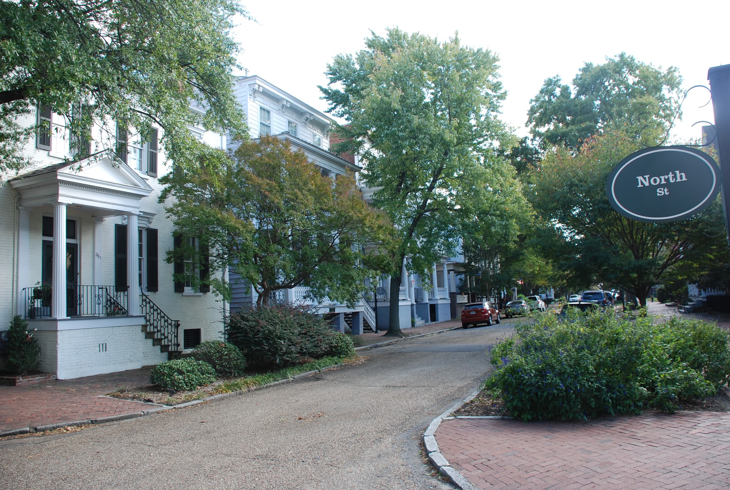
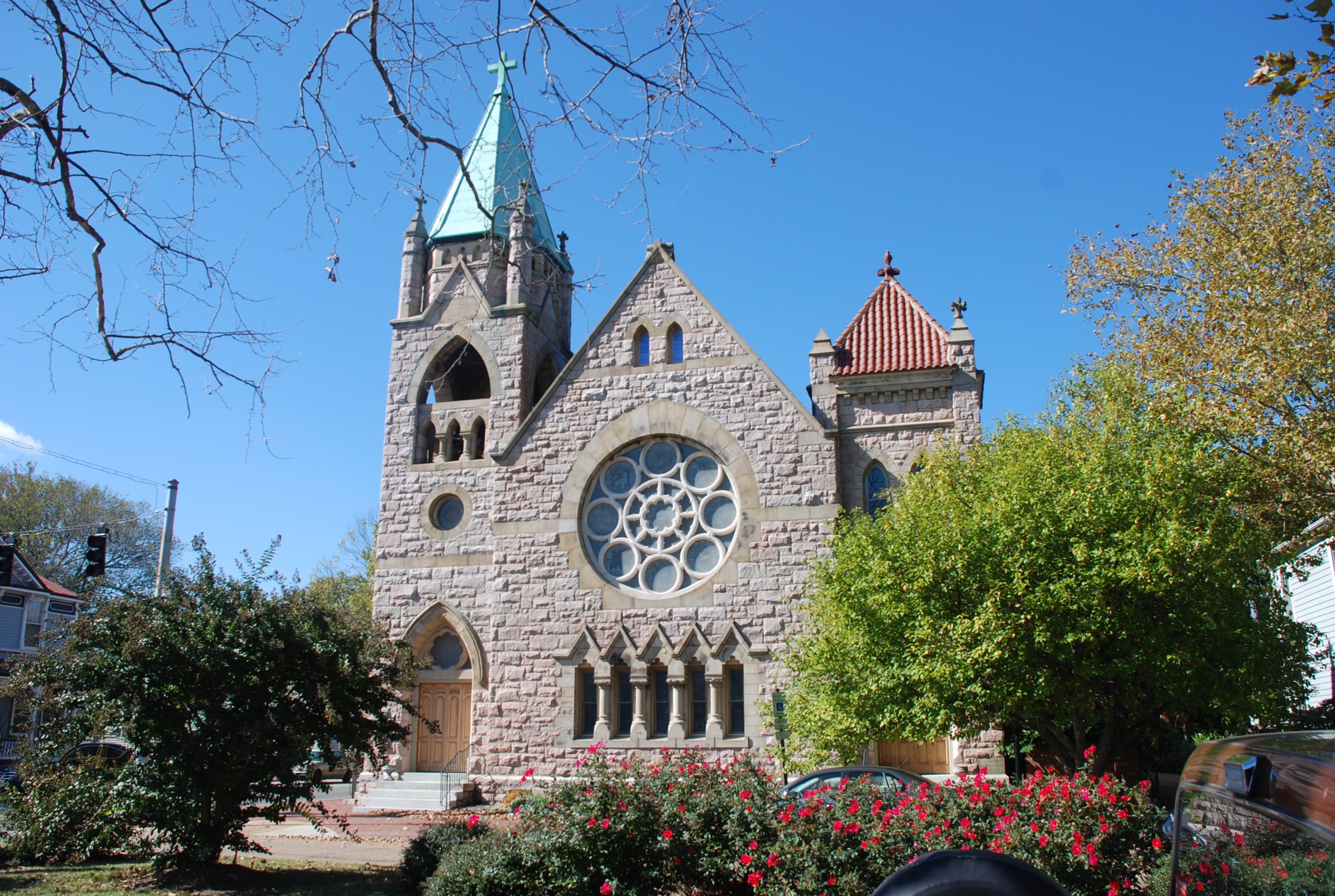
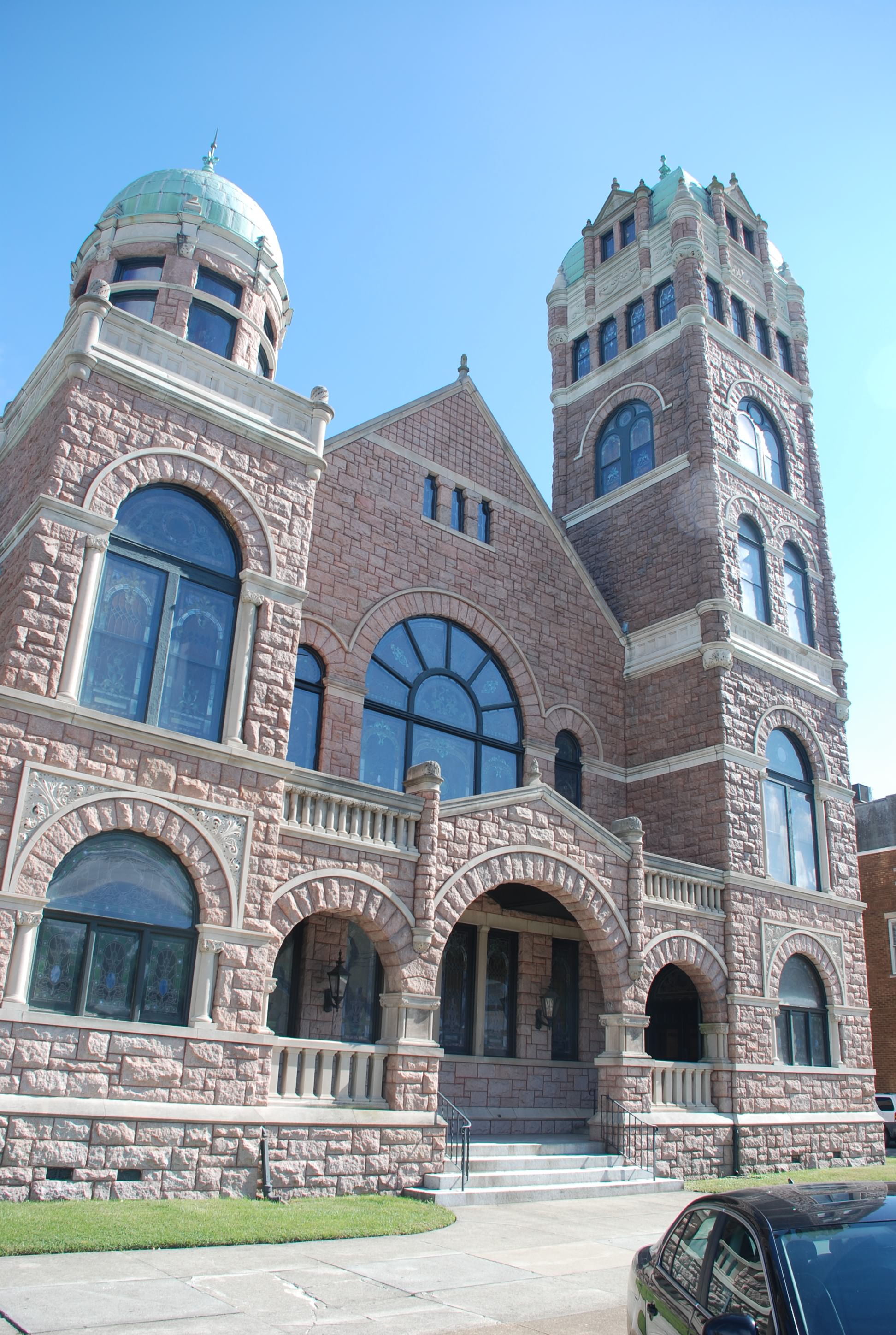
The weather continued to dish out excessive winds so we decided to stay another day. We walked around Portsmouth checking out the historic Olde Towne area. Many of the homes date back to the 17 and 1800s. It was pretty cool. Several homes were actually something other than a house when they were built…like a tavern, hospital, military HQ, etc… We are not normally history buffs, but we did a walking tour and checked out area. There were also several really beautiful churches. Pics of the Olde Towne area:
DSC_0562
DSC_0545
DSC_0546
DSC_0547

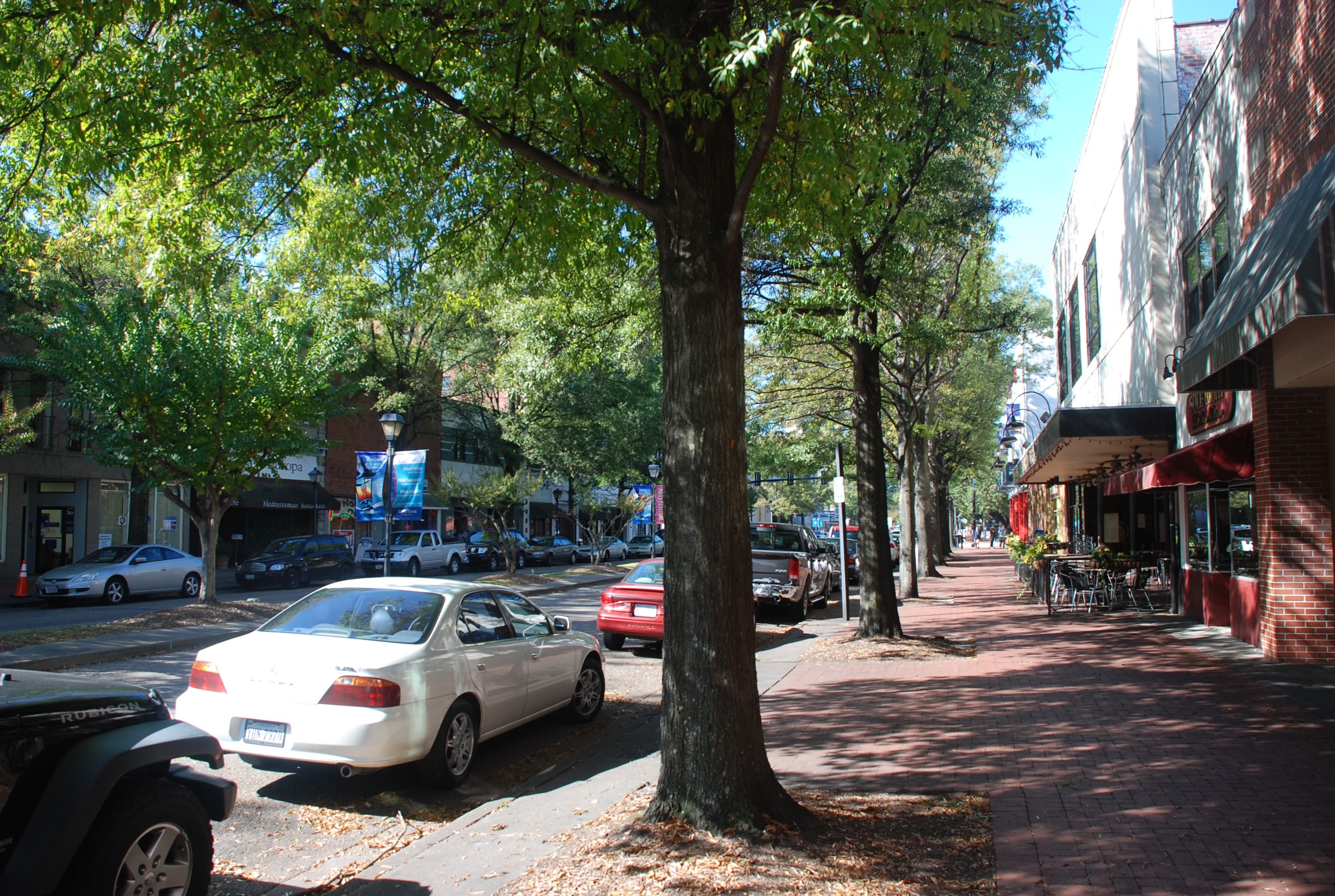
Here is a picture of High Street where most of the restaurants, art galleries and museums are. It reminded us of St Petersburgh, FL:
DSC_0539

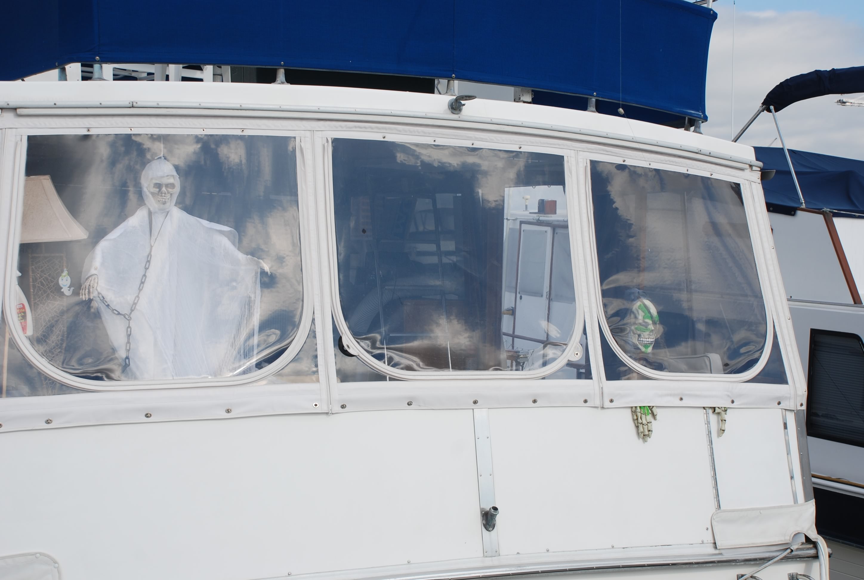
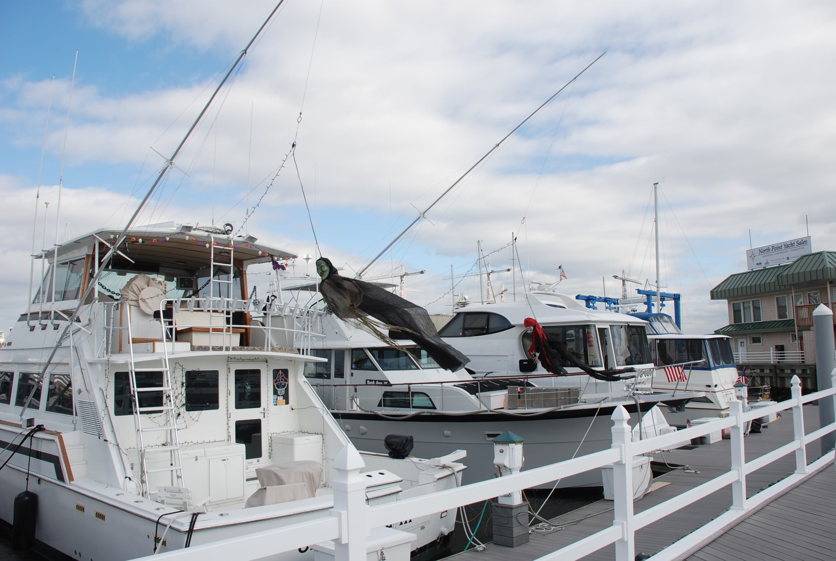
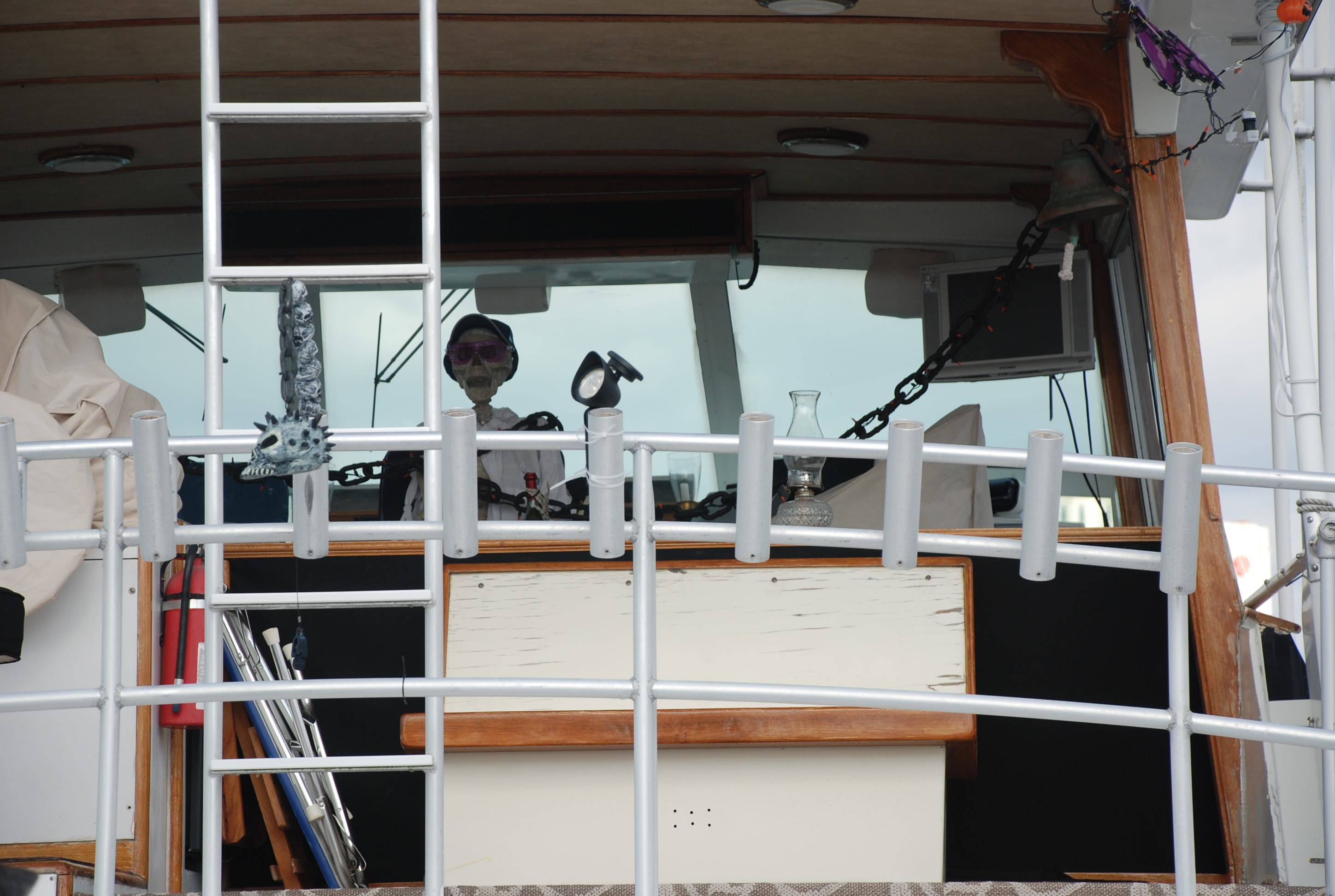
We walked down to the other main marina in Portsmouth and had a drink at thier restaurant. While walking the docks we saw some of the boats that had decorated for Halloween:
DSC_0557
DSC_0559
DSC_0560

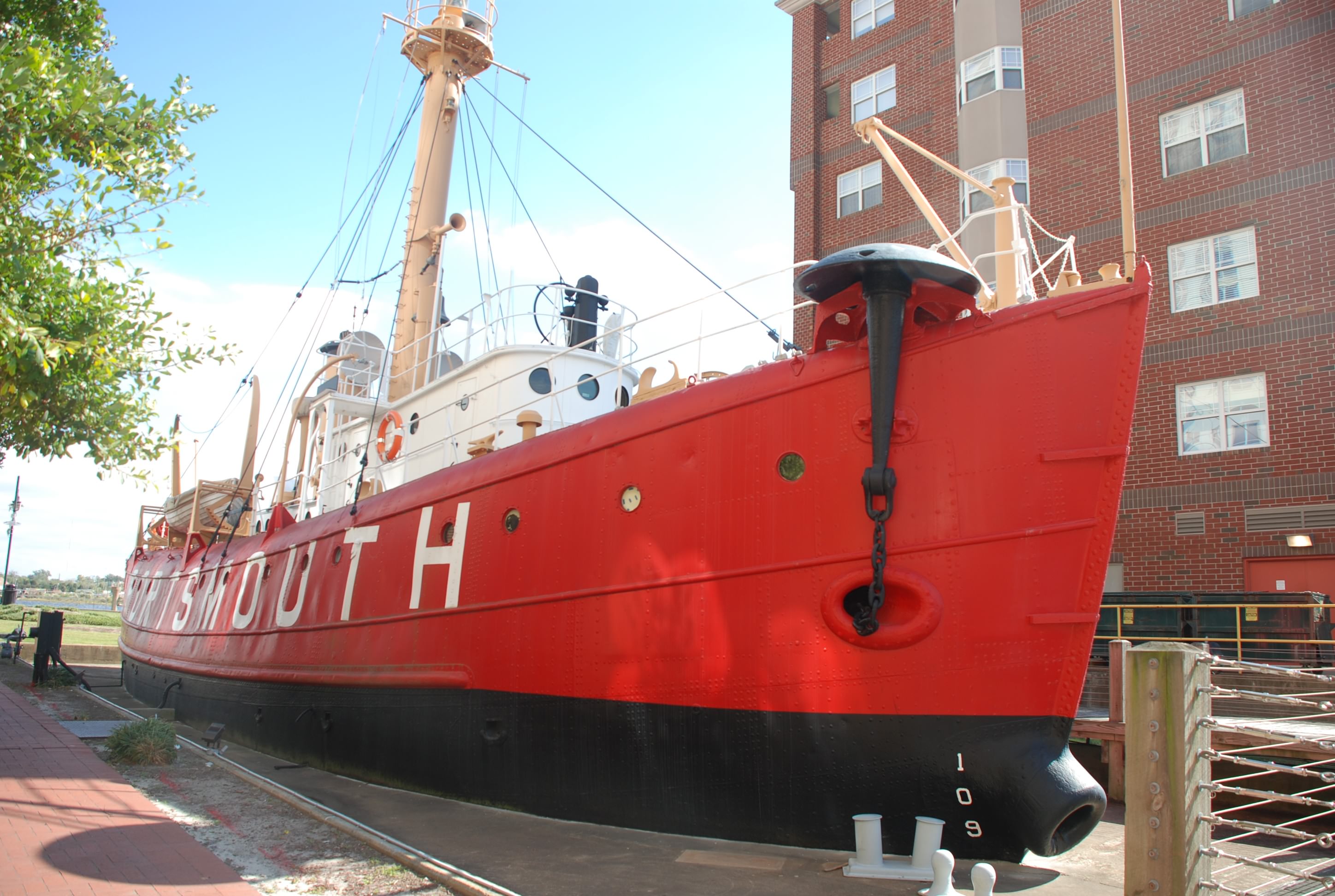
Then there was a lightship that was made into a museum. We didn’t know this, but before there were lighted buoys and fixed navigational aids on the water, ships called light ships were anchored in the key navigational areas to guide mariners. They were manned by a person for months at a time…I can’t imagine having that job! This is the light ship Portsmouth:
DSC_0552

Here is the ferry that took us over to Norfolk yesterday:
DSC_0561

We really had fun in Portsmouth and Norfolk and it was nice that you could stay in one place and visit 2 major port cities. If you ever go to Portsmouth you need to check out Gosport Tavern. We ate there twice and it was totally awesome both times!