10/25/14
Aligator River, NC ICW
Position: 35 39.9N, 76 02.163W
Posted by Bill
Leaving Coinjock (where did they get that name anyway??), we traversed a remote area of North Carolina between the mainland and the Outer Banks. Some of it was wooded, most comprised of marshes, and we also traveled across Albemarle Sound. This part of the trip can be a real ass kicking if the winds are up. Fortuneately for us…it was beautiful and warm.
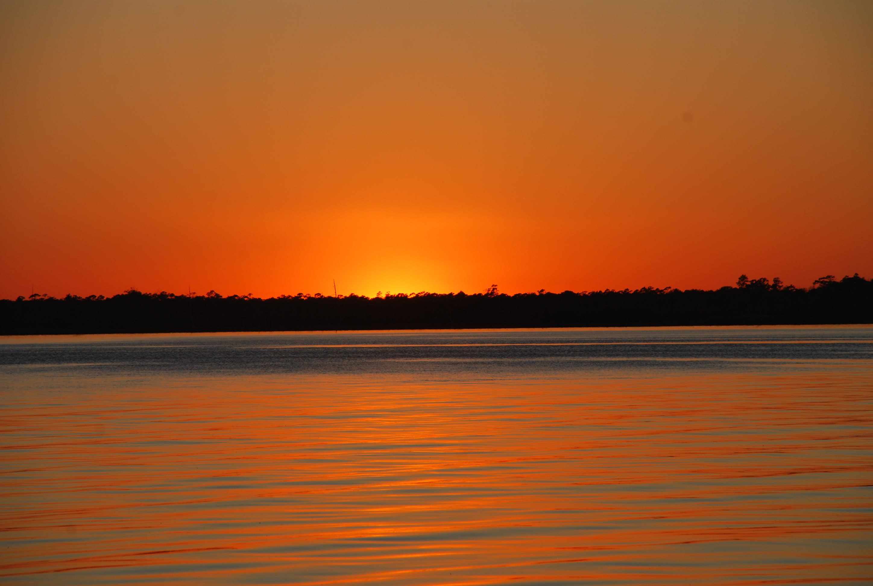
We settled at the bottom of the Aligator River for the night. The winds had picked up out of the NE and were forecasted to get up in the 20 knot range after midnight, move to the south and then to the NW. Try picking a spot that will protect you from all of those wind directions in one night’s stay! So we did the best, giving consideration that we needed room to drag anchor a little (hopefully a little) as the wind shifted direction each time. It got a little rough, but we held pretty good. I got up every couple of hours and checked the anchor status which sucked, but I was rewarded by a sky full of stars like I have never seen before. It was unbelievable!
The worst problem is that we had no cell converage…not even voice network. I didn’t think such a place existed any more, but it is there. Hence, blog postings are late again.
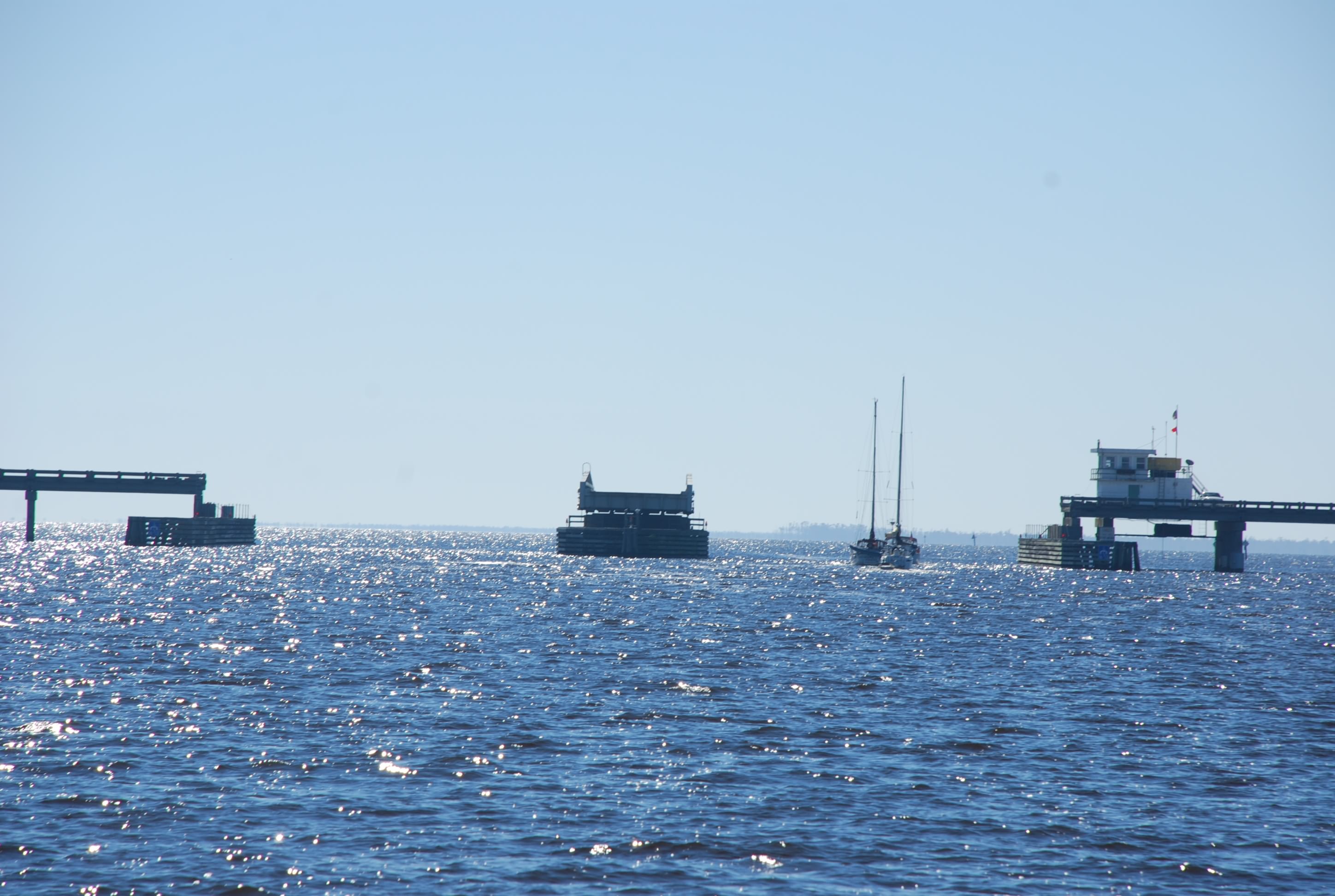
Aligator River Swing Bridge:

Sunset: