10/13/14
Deale, MD; Chespeake Bay
Position: 38 46.30N, 76 33.81W
Posted by Bill
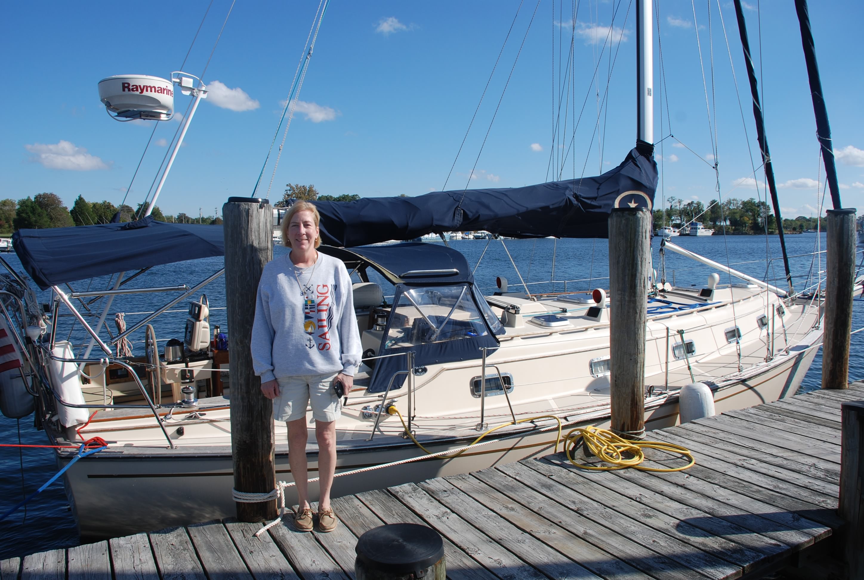
We left the dock in front of our friends’ house in Nabb’s Creek just before dawn with heavy hearts. We had great fun with our friends and hated to end the party, but alas, the cold weather is chasing us south and we need to get a move on.
Within an hour of leaving it began to rain and it didn’t really stop until we docked in Deale MD, 6 1/2 hours later. The forecast was for increasing winds and a slight chance for rain early. Our plan was to try to make Solomons Island before the winds increased, and wait out the gale force winds that are expected until Wednesday. Half way to Solomons (30 nautical miles), I realized we weren’t going to make it to Solomons before dark and I diverted to Deale. I was more concerned about the 30 knot winds that were forecast for late afternoon than I was for the darkness, but a combination of both was not something I wanted to deal with in a strange harbor. The winds on the bay around Deale and Herring Bay were testing the 16 knot range and I made the call around 1 PM. Of course, as soon as we entered the protected harbor the winds died to 4 knots, and now the forecast doesn’t show it piping up until tomorrow afternoon. We had such a great weather window during the first 5 weeks of our trip and now we are paying for it. The forecast has been wrong most of the time during our passages in October and has gone to hell.
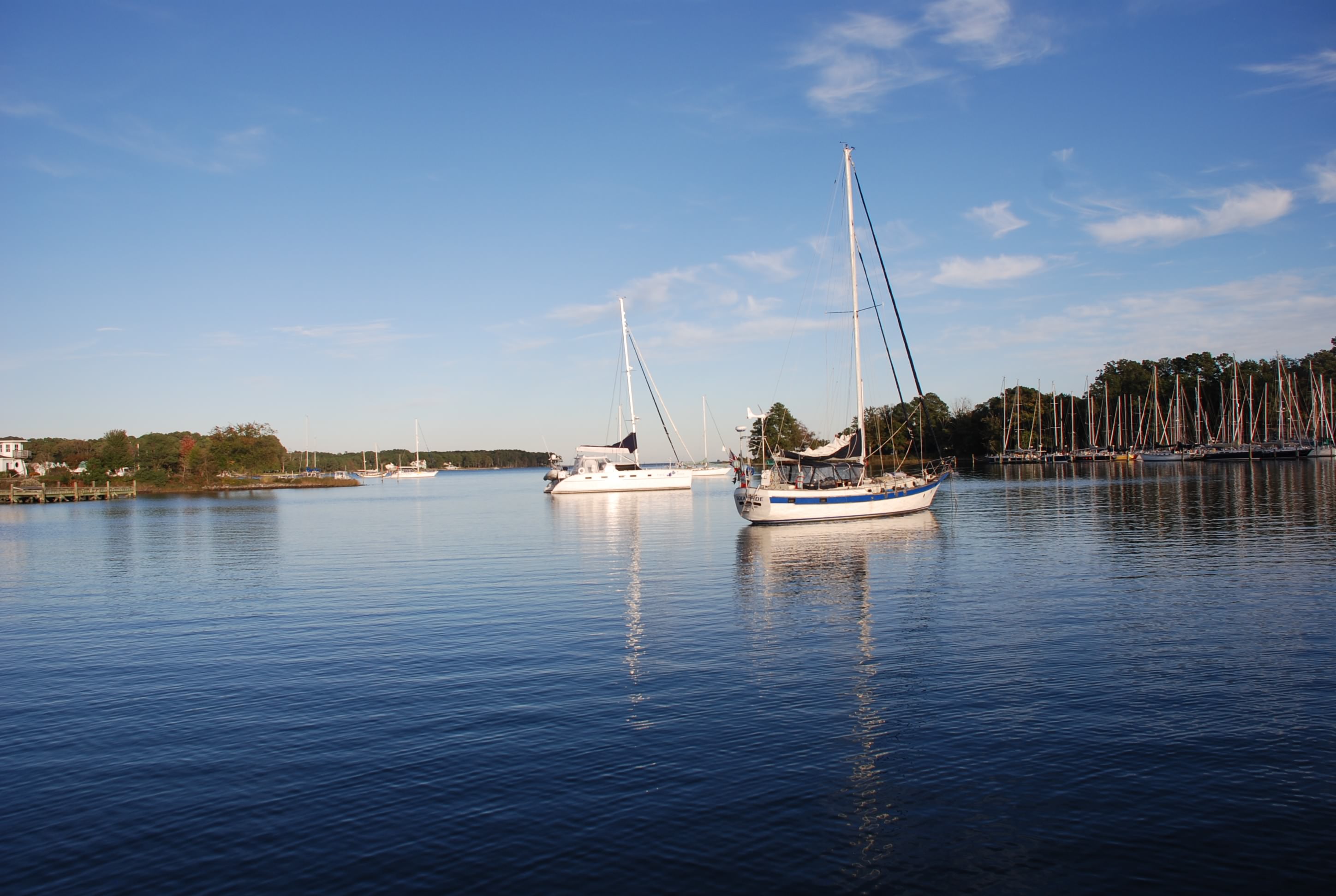
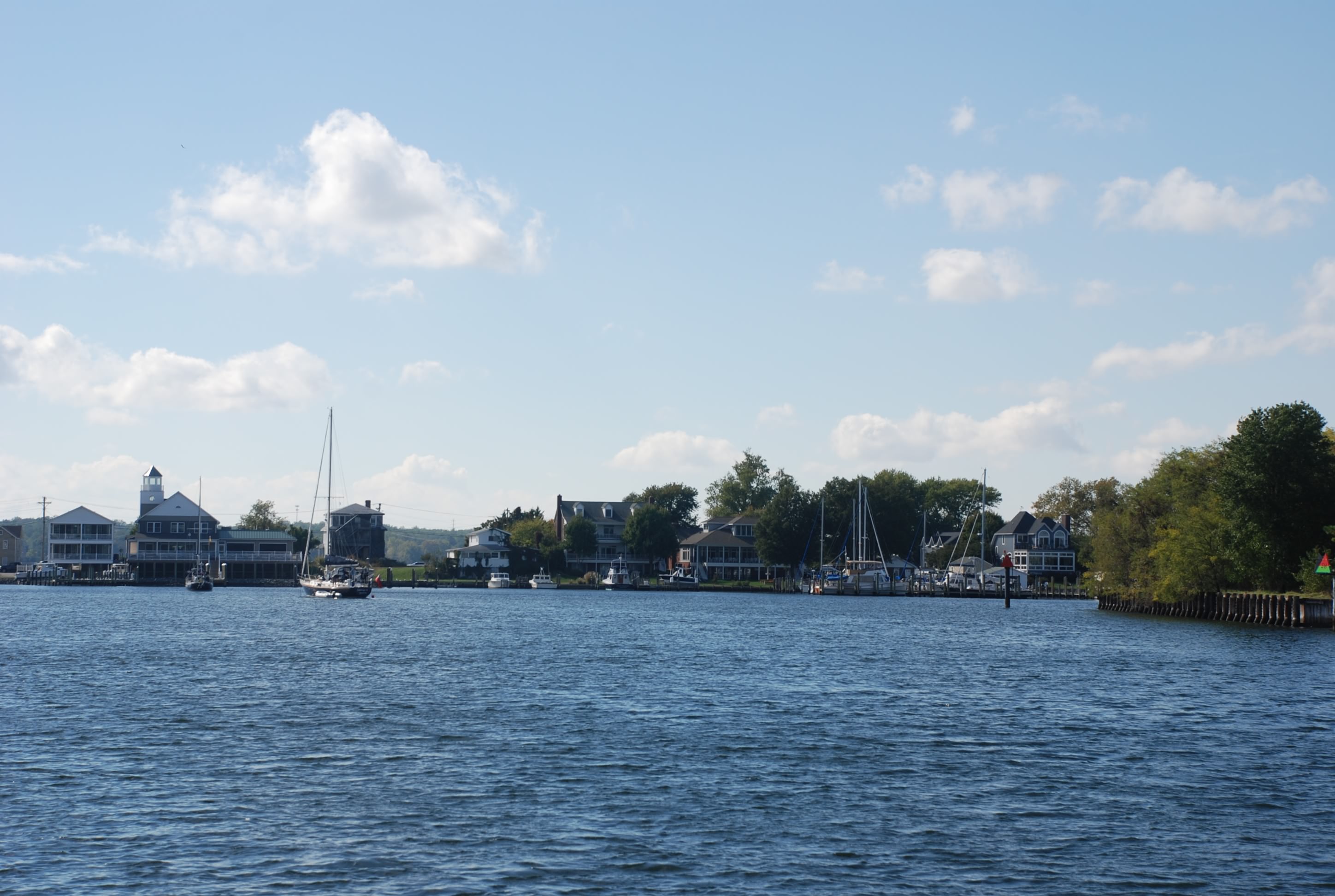
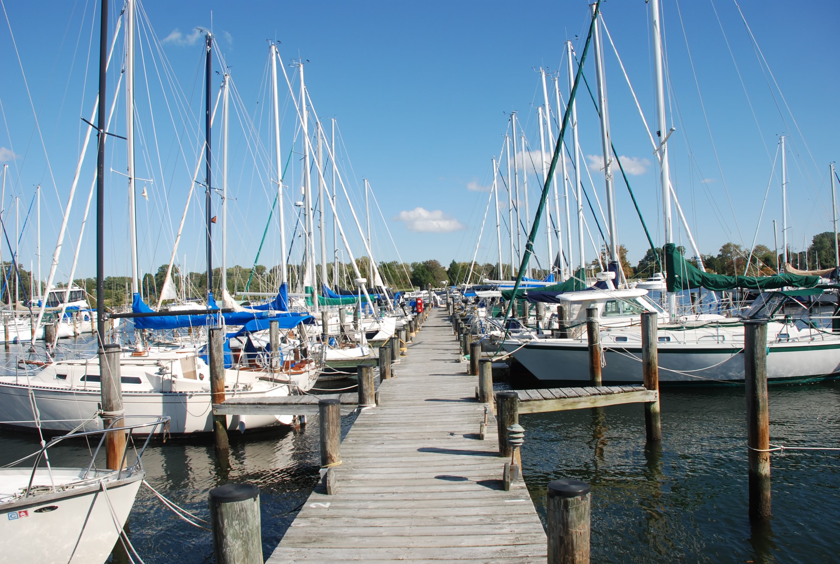
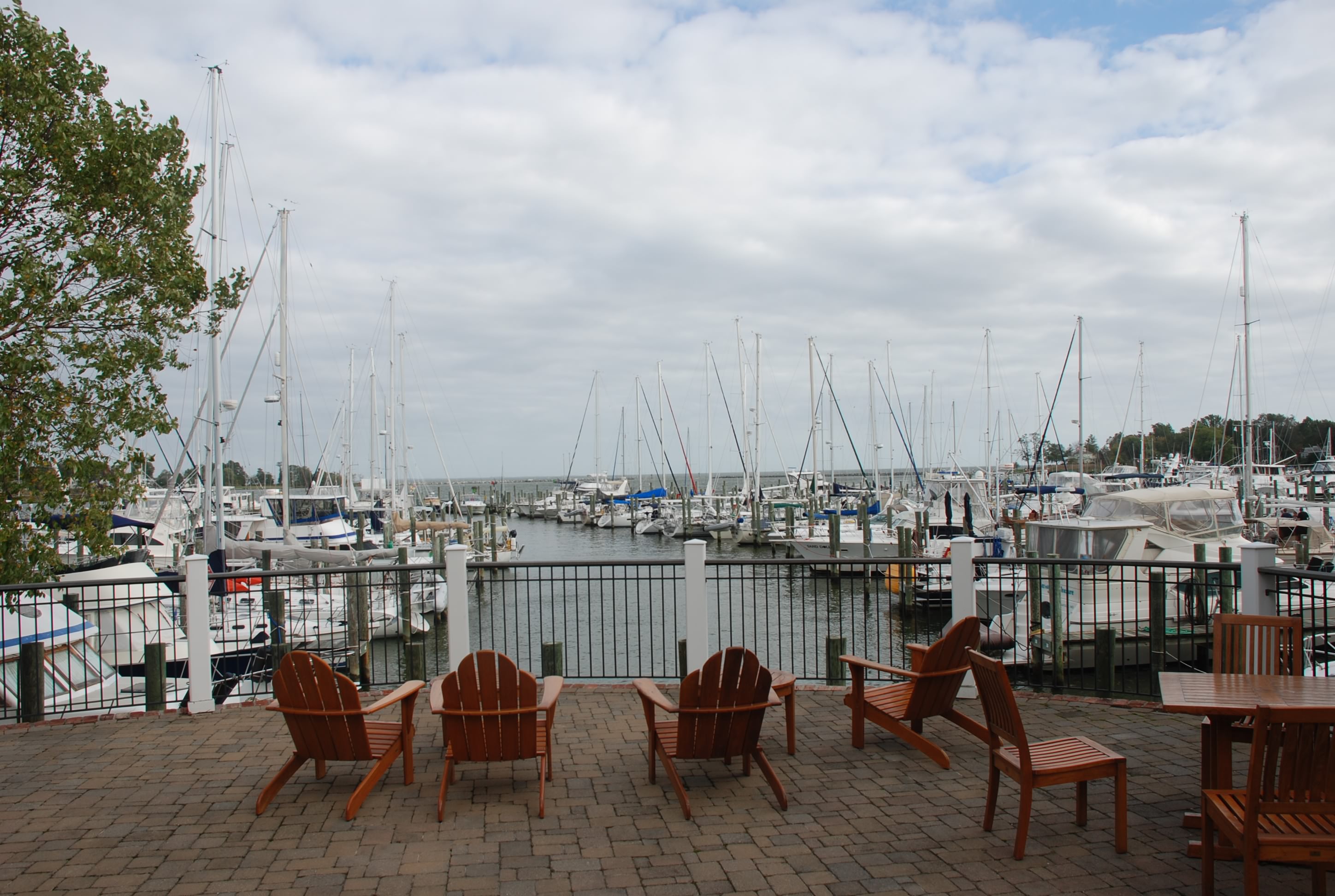
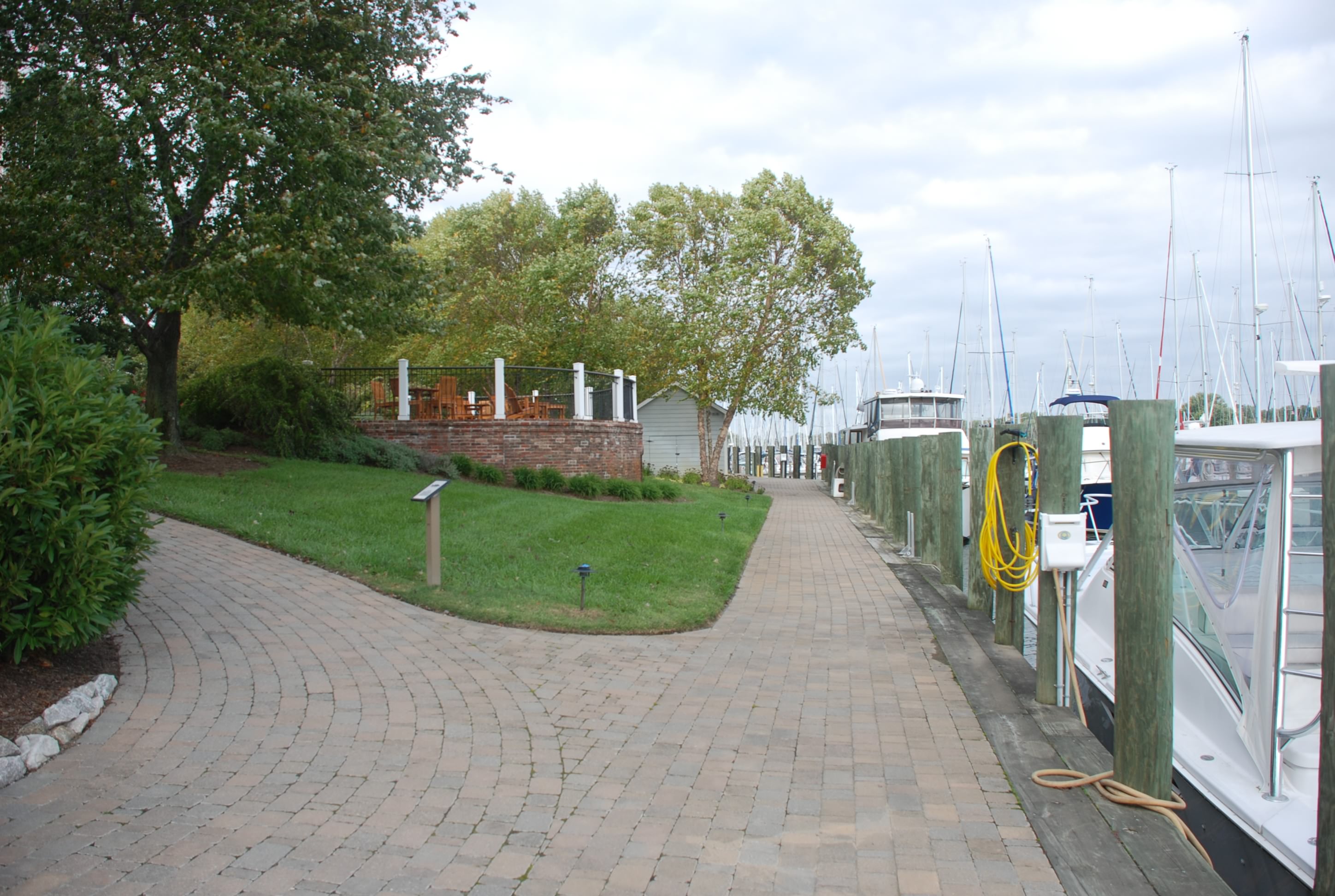
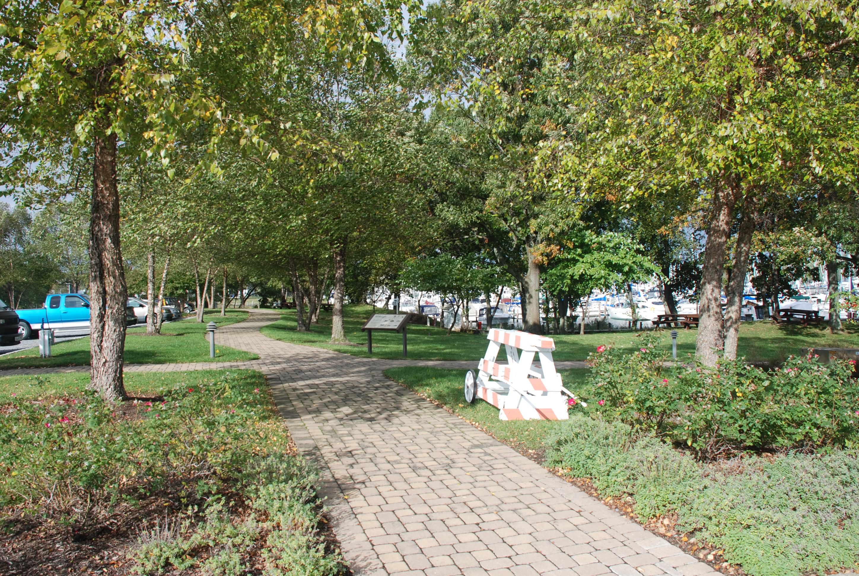
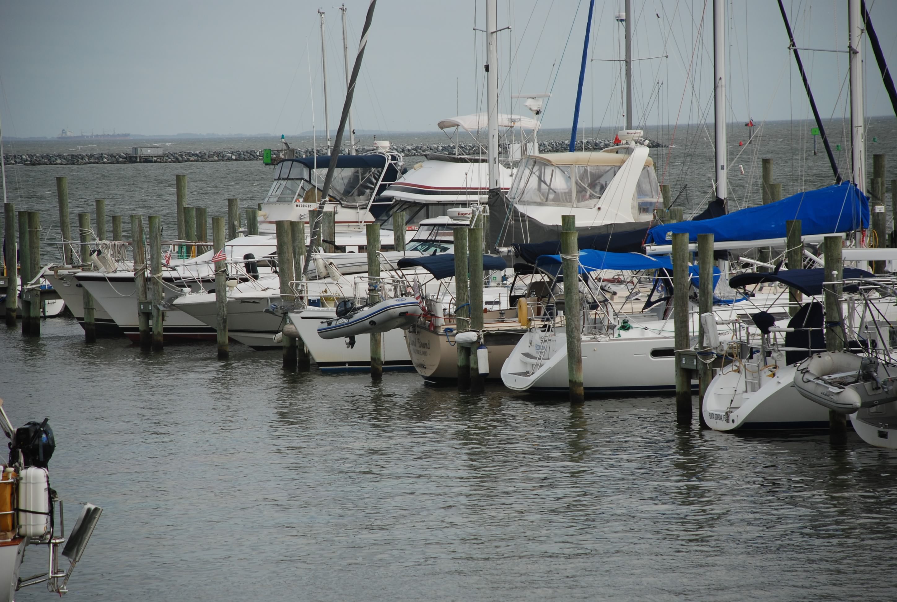
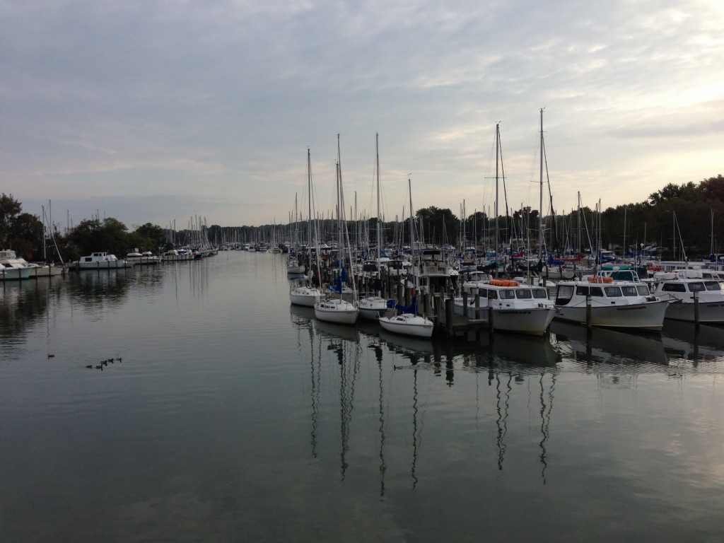
Deale is a small town with a few places to eat/drink, but you have to walk about a mile. Other than that nothing much, except the place is packed with marinas and boats. We are at Herrington North marina and it is massive as marinas go. It is very nice and we are in a protected area with great amenities. There is even a West Marine on the marina grounds, surrounded by marine services companies that can do anything from canvas, sail repair, electronics and mast repair/fabrication. Pretty amazing for a really small town in the middle of nowhere.
We’ll hang out here and do some boat maintenance until the weather clears and then head south again. We probably have 2 more stops before we hit the Intracoastal Waterway (ICW) and leave the Chesapeake.
This is the north end of Herrington Harbour marina. You can see how far it stretches south. Massive.
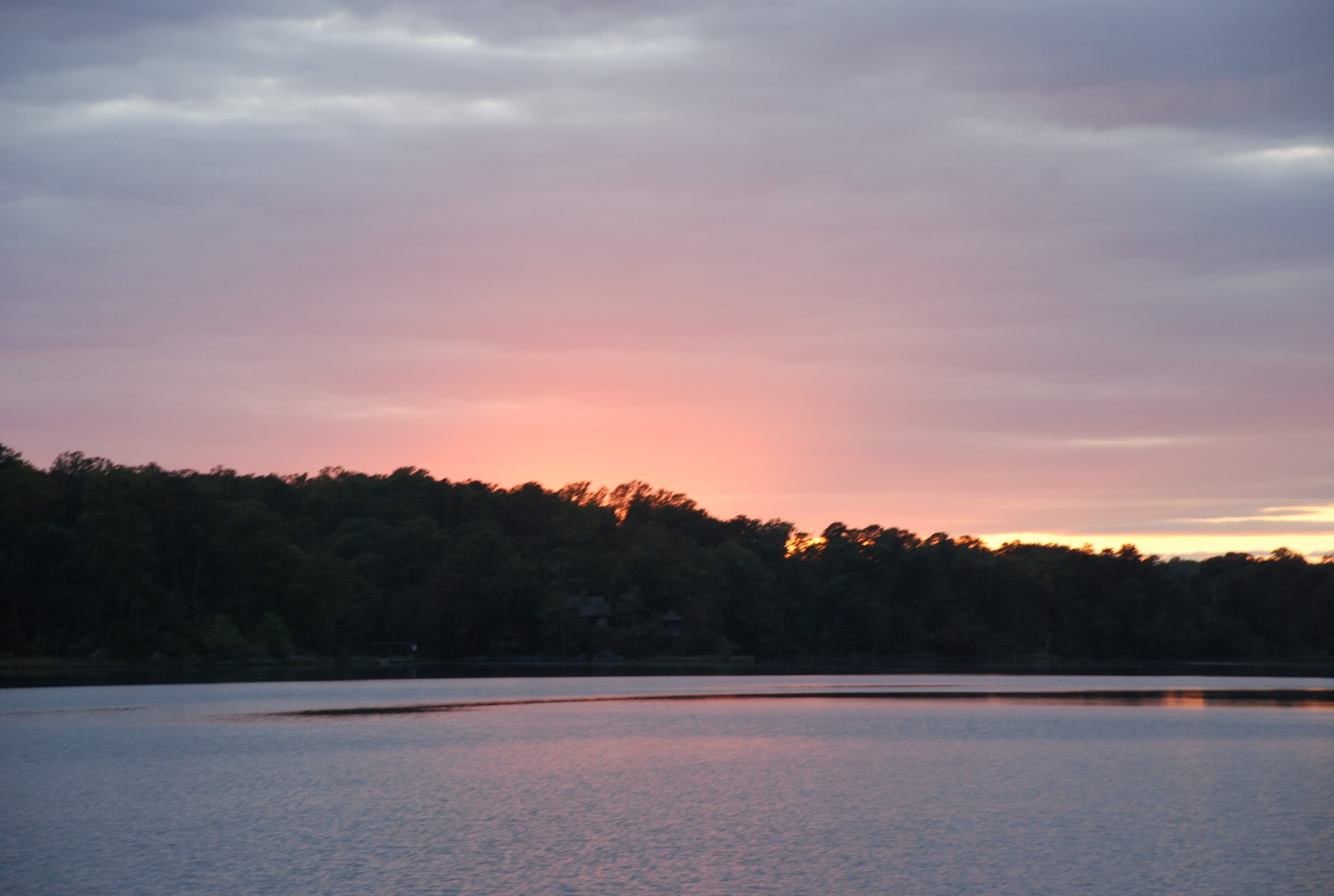
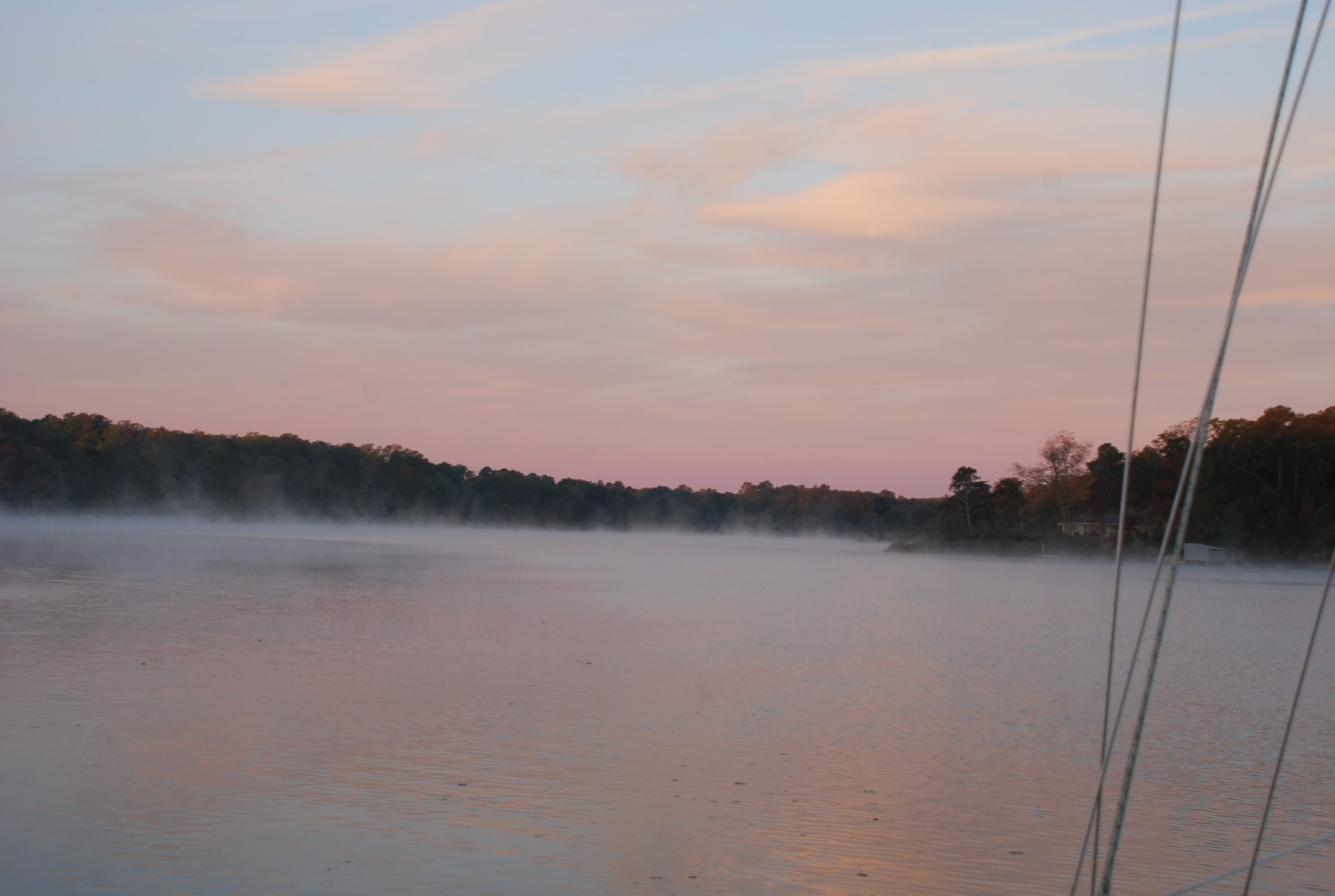
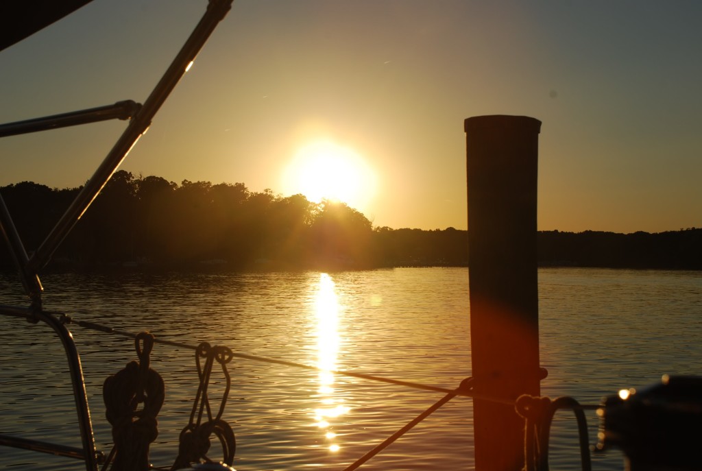
The last good sunset at Nabb’s Creek. I love that place!
Sue gave us some of her harvest from the garden…good stuff man…good stuff.
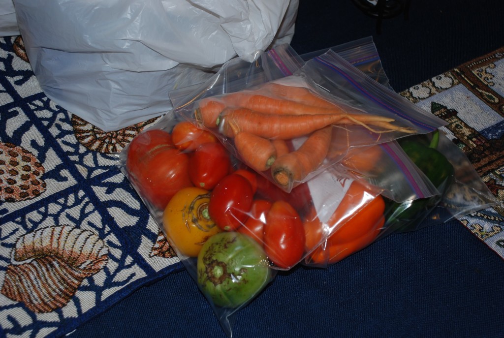
She had this one mutant carrot that kind of looked like the Stay Puffed Marshmellow Man. It was creepy. I have never seen a carrot like this. We were expecting it to do La Cucharacha.

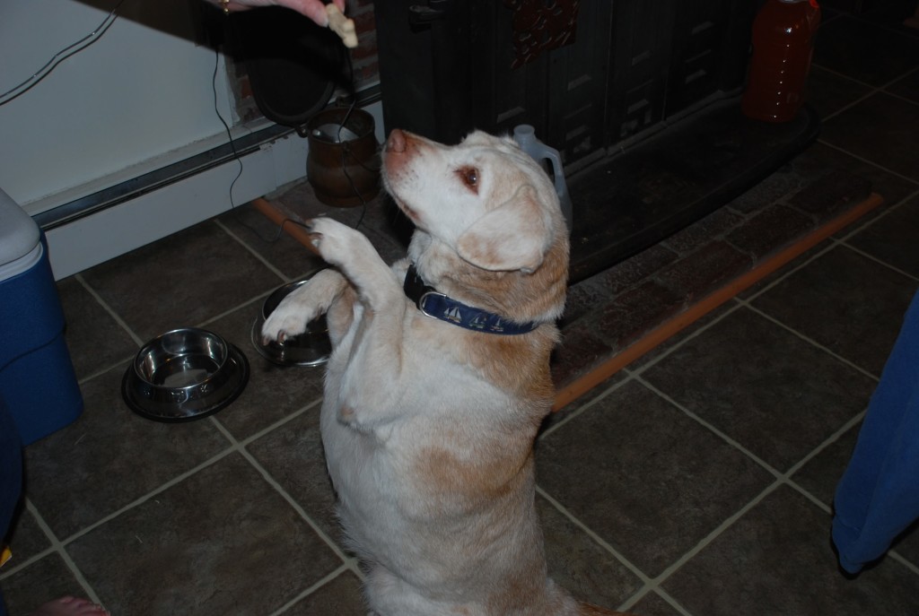
Chessie the wonder dog! Gonna miss him too.
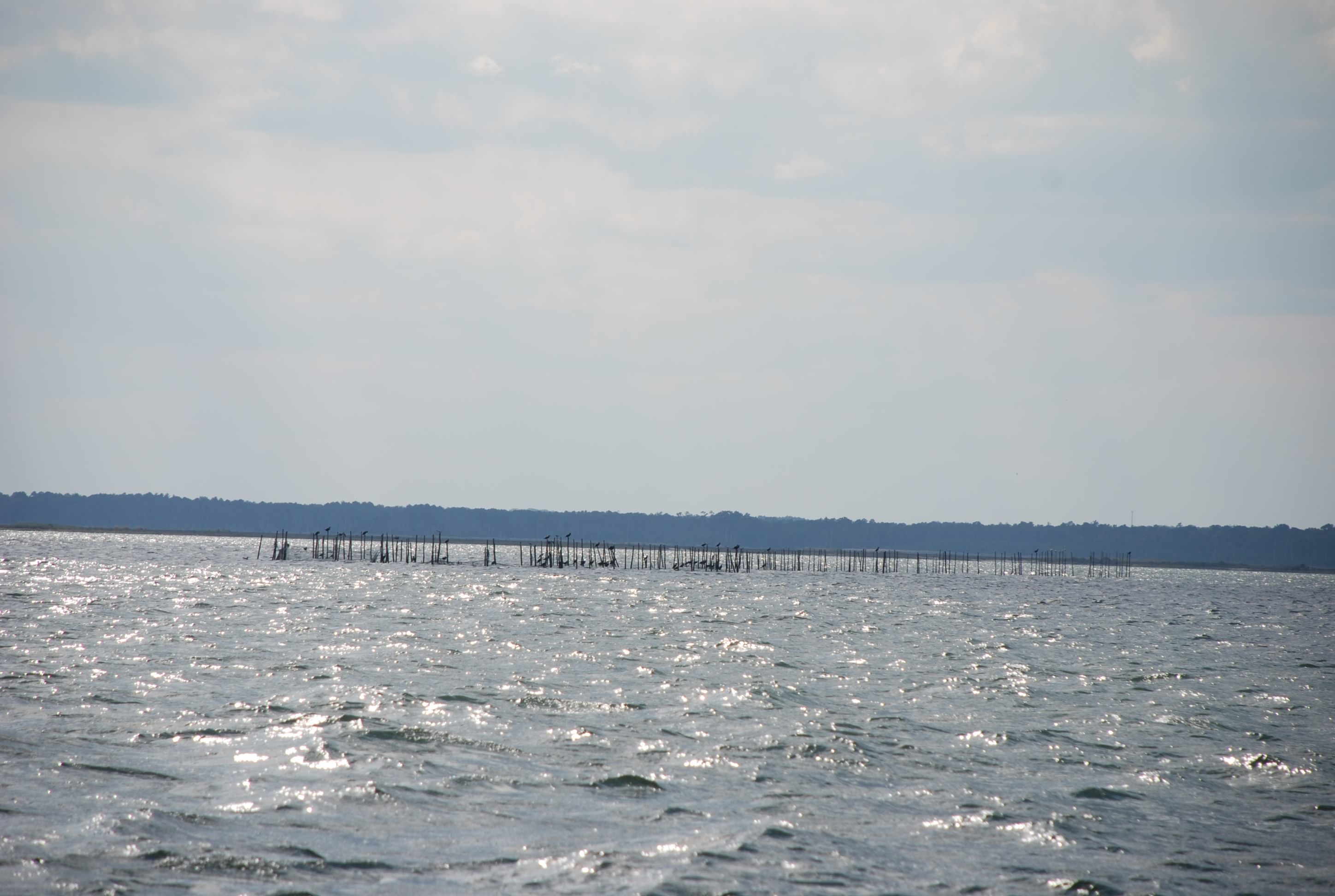
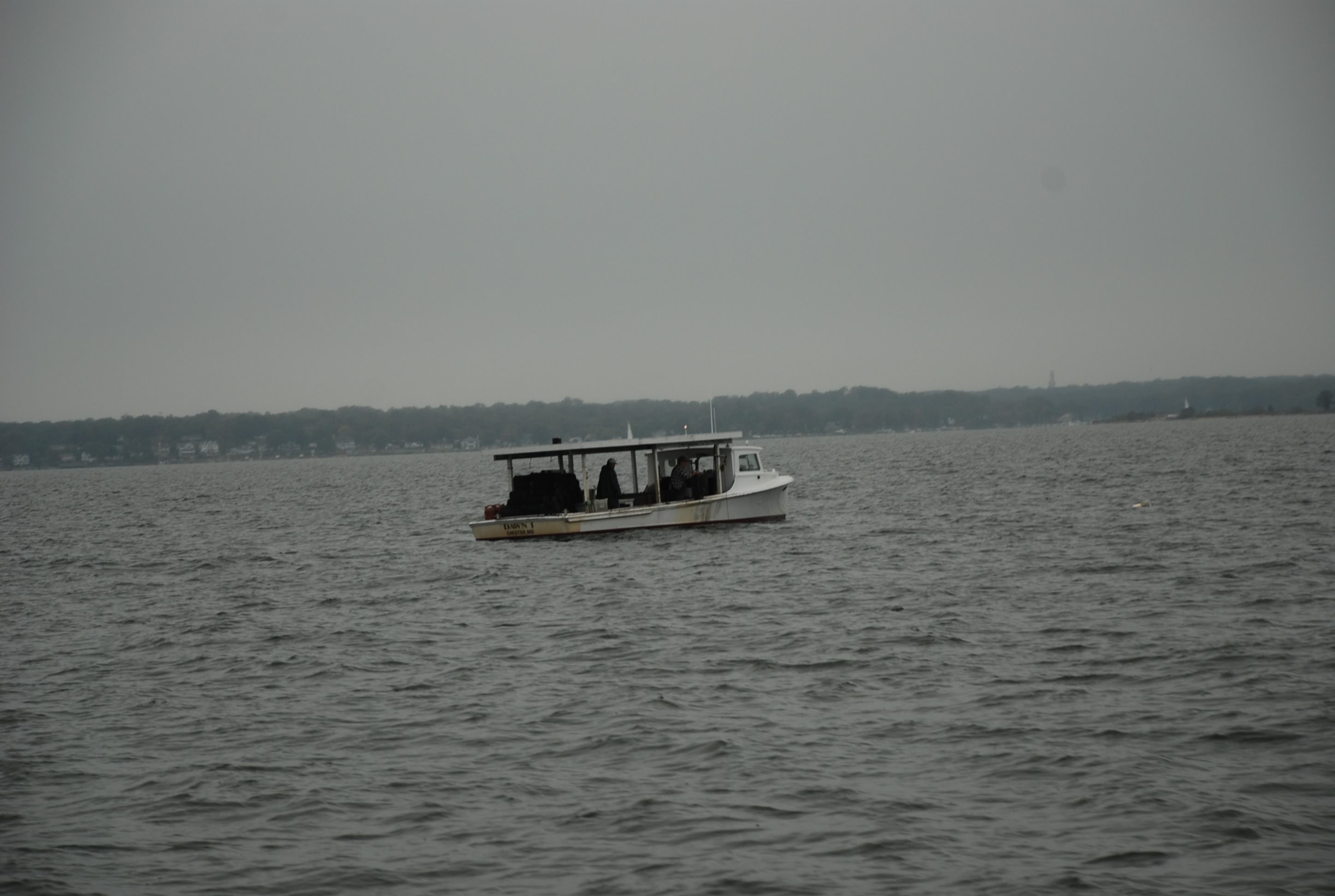
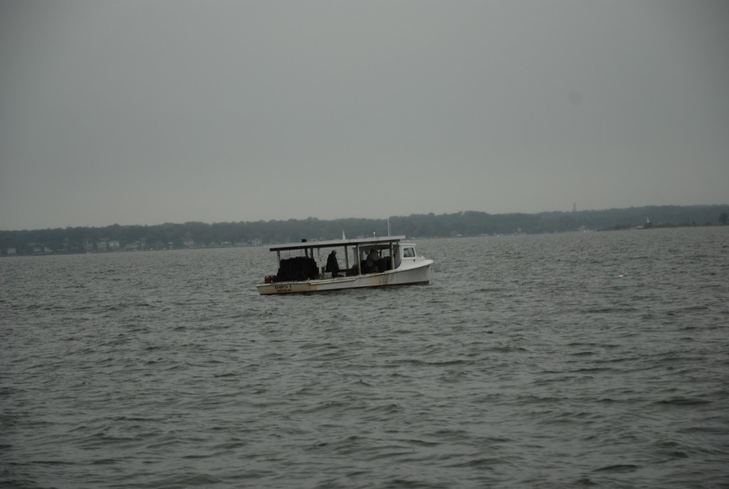
This is typical of the working boats on the bay. These guys were setting crab traps.
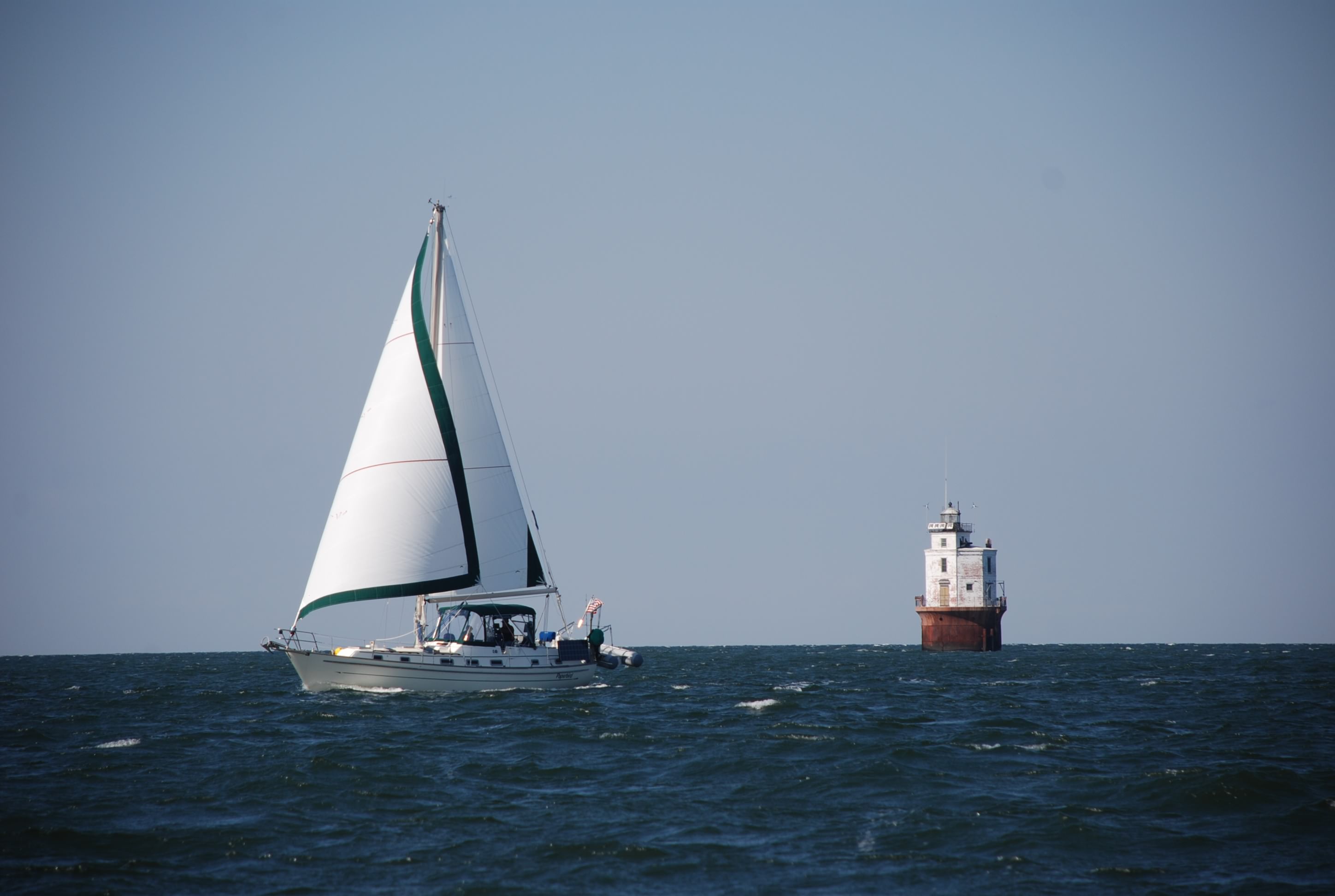
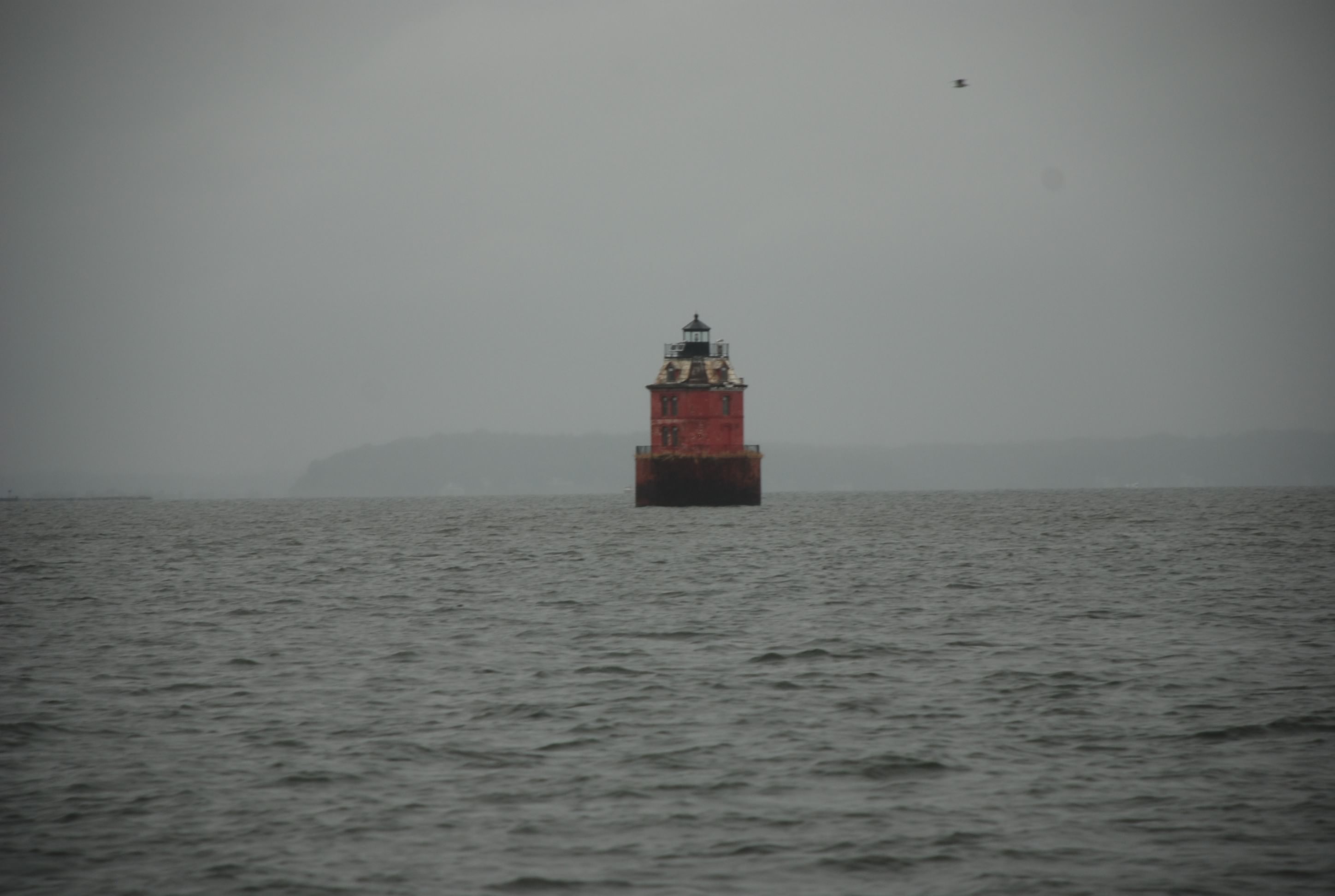
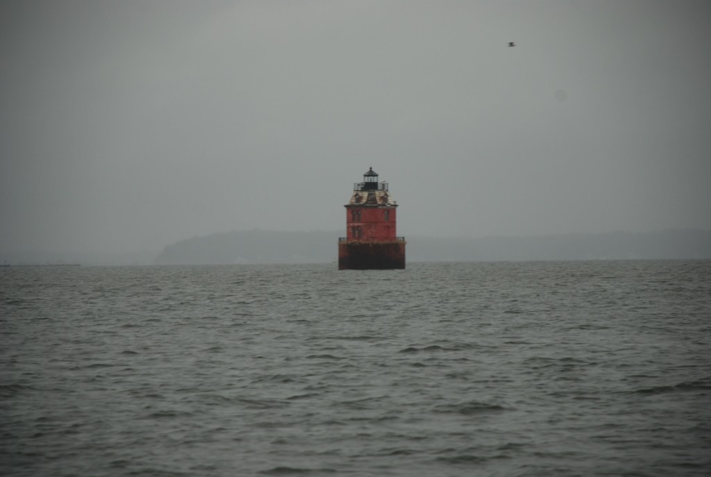
This is the Baltimore Light. The bay has many cool light houses like this.
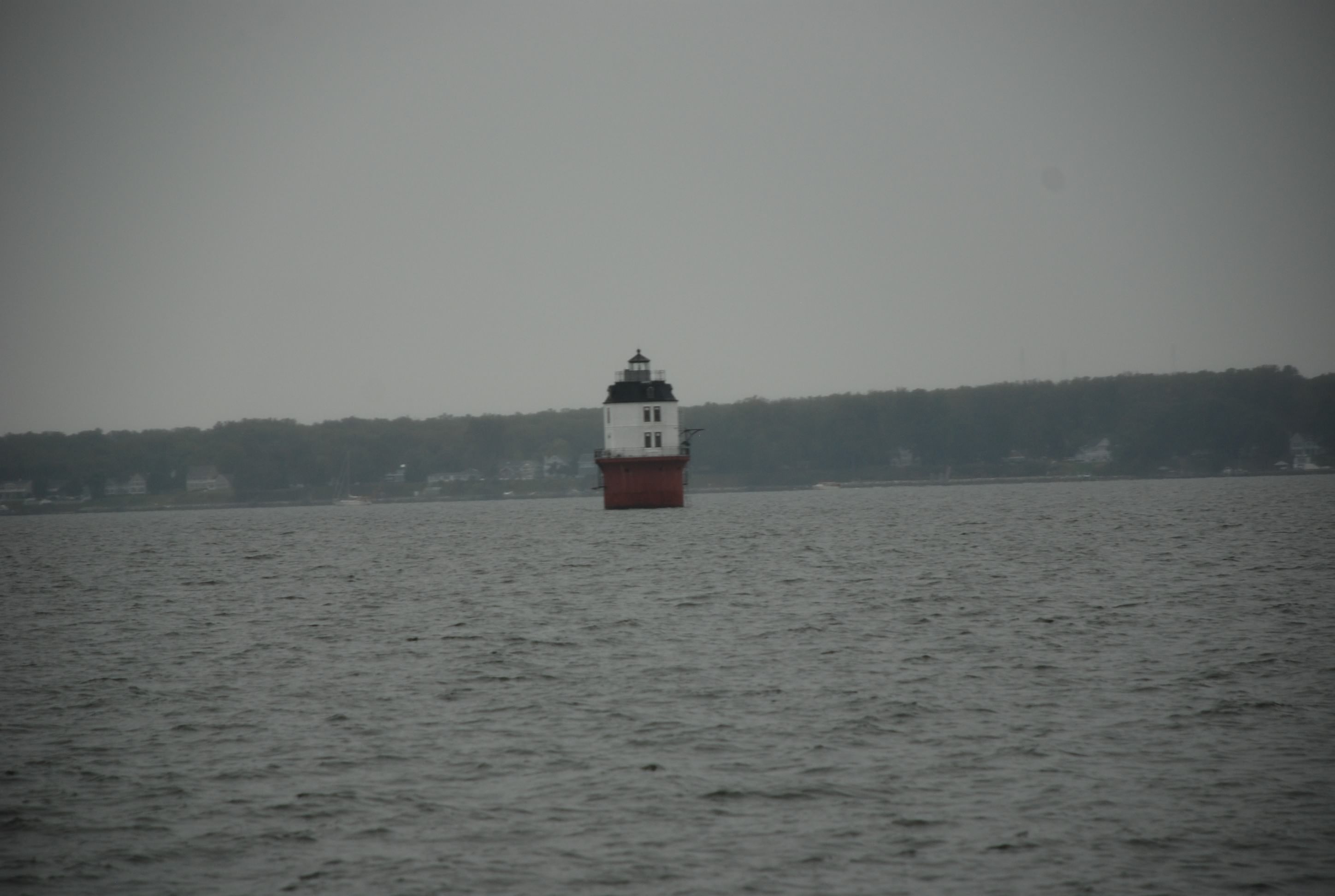
Another light just north of the Bay Bridge. Not sure what the name of this one is.
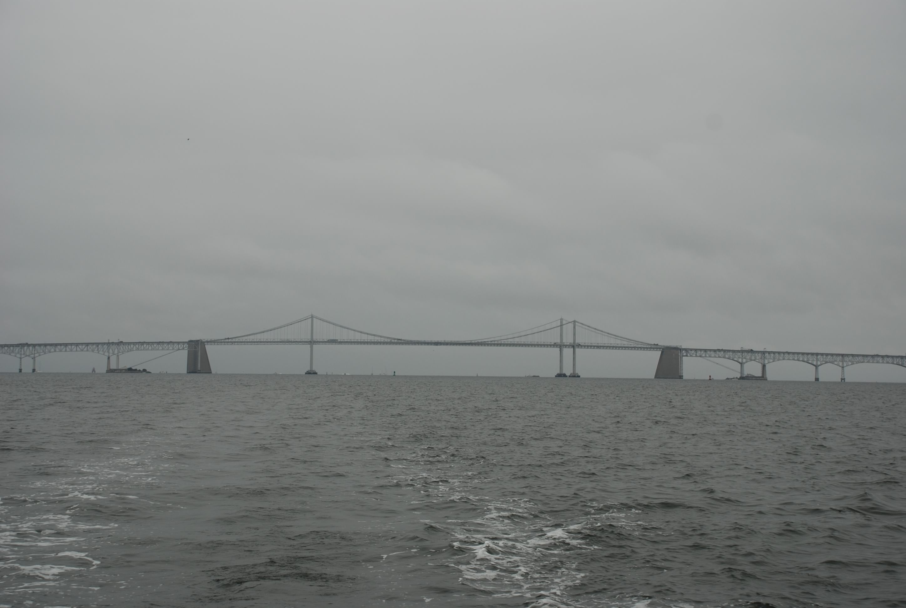
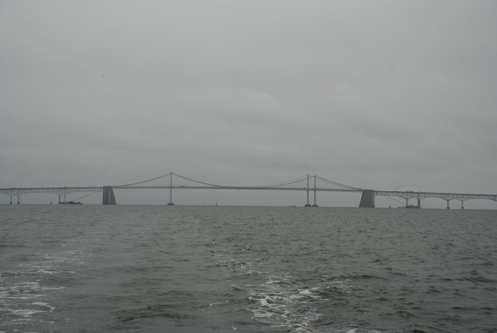
The Bay Bridge. I have driven over this many times but this was the first time I went under it.
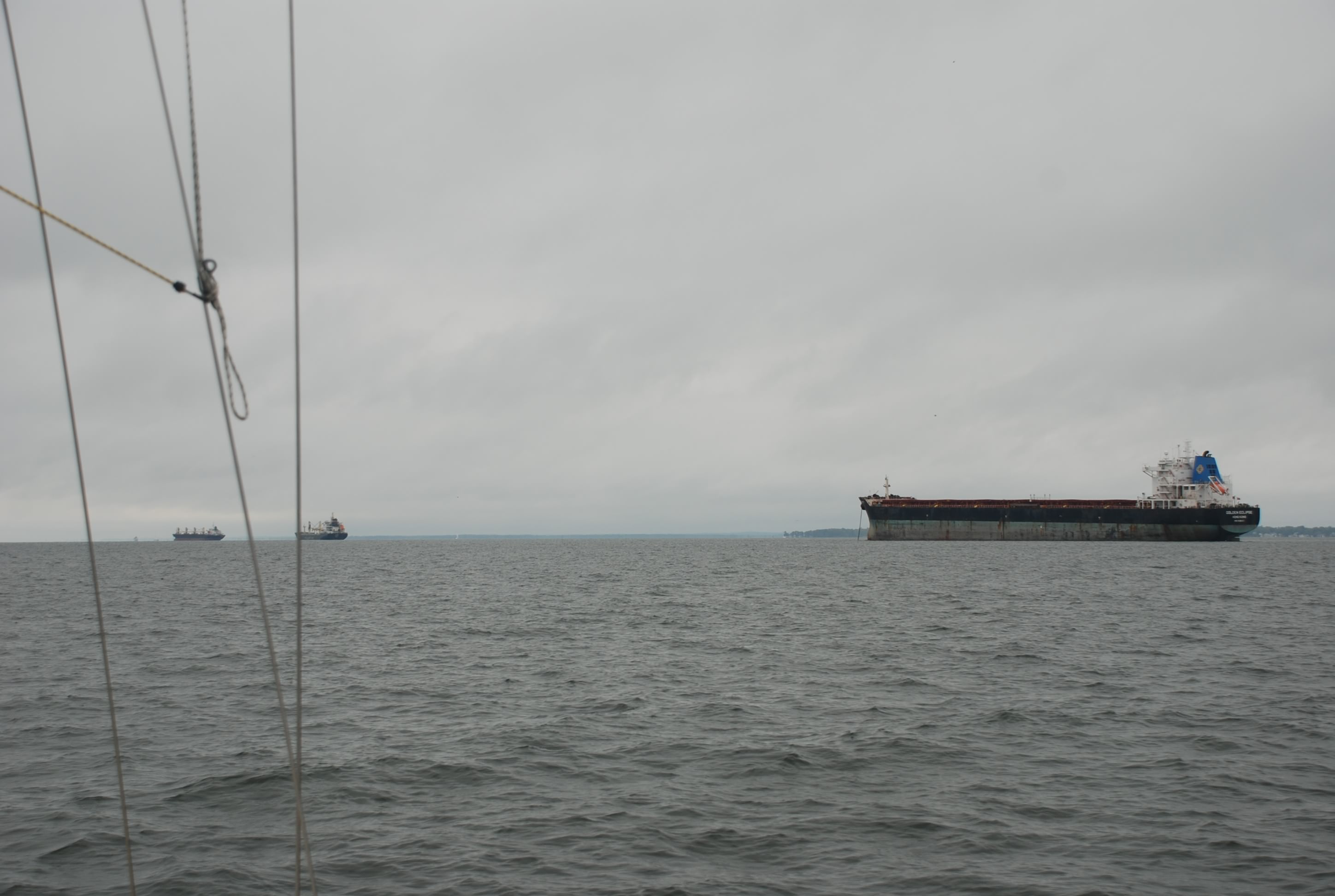
This was an anchorage for big ships just south of the Bay Bridge. This ships were big!!

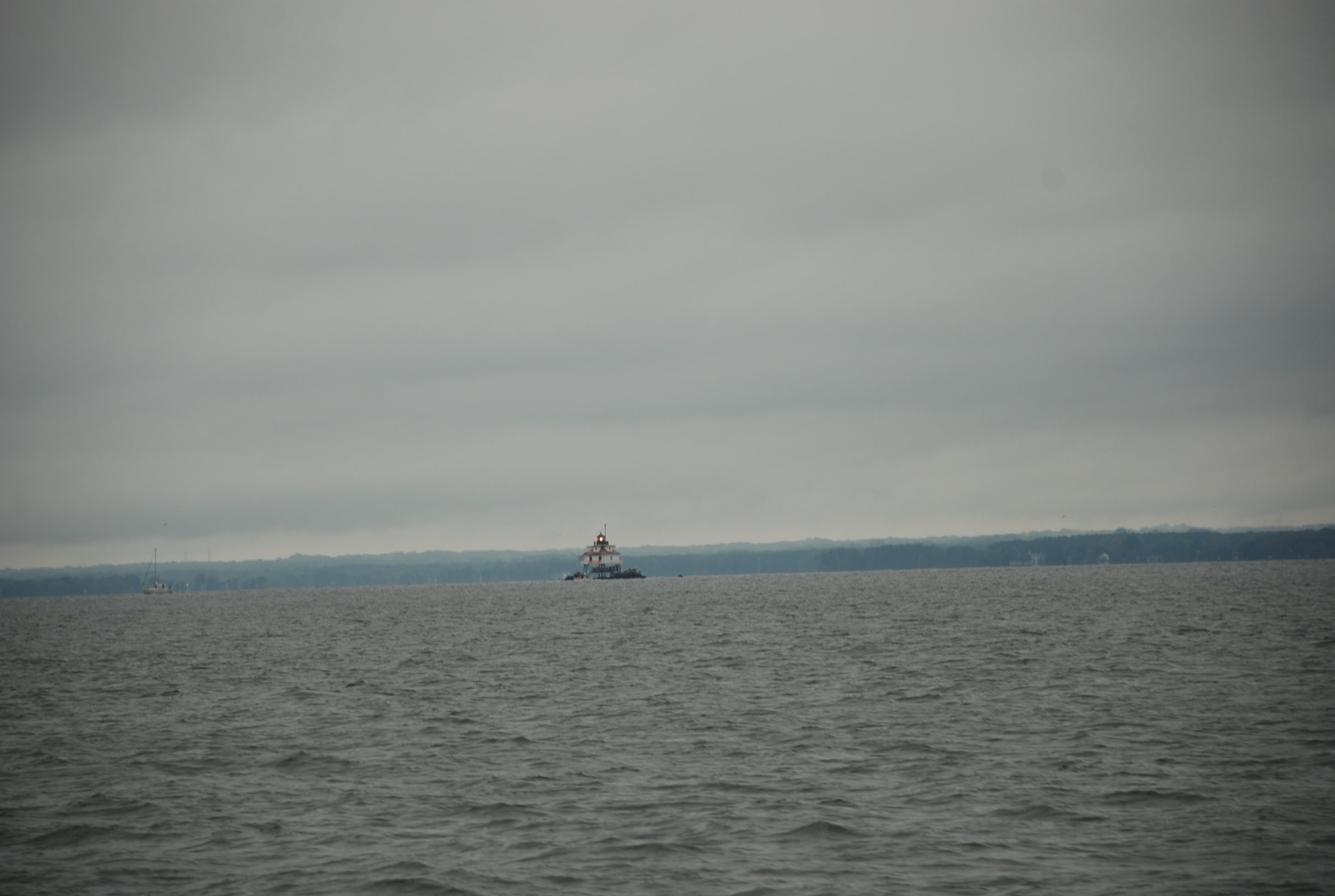
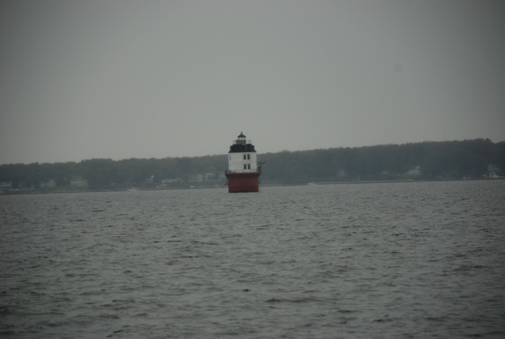
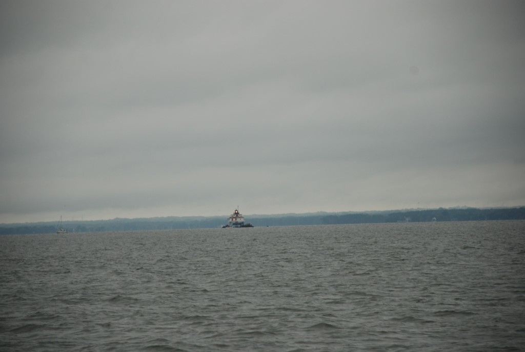
Thomas Point Shoal light. Too bad I was so far away. This is a cool light.
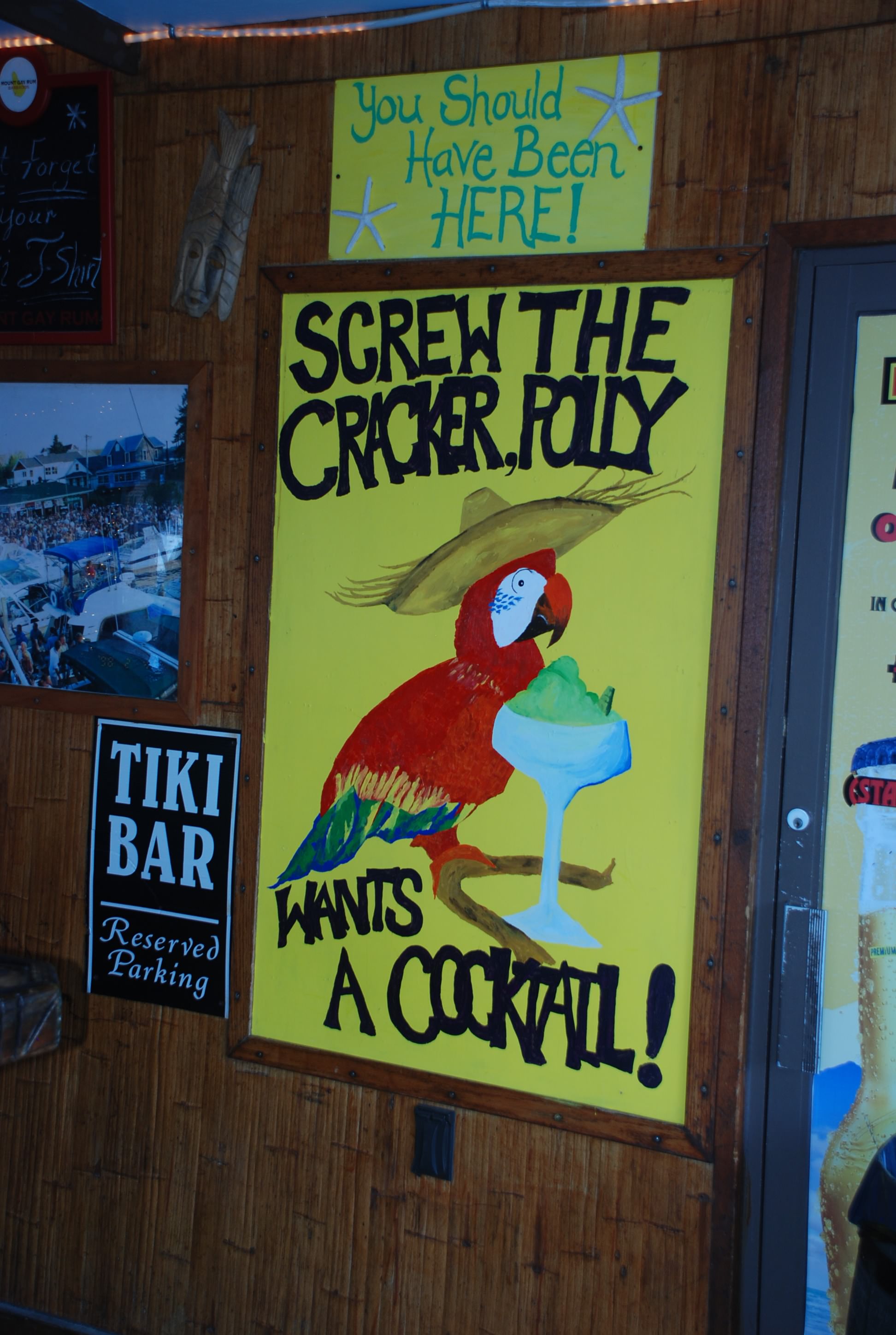
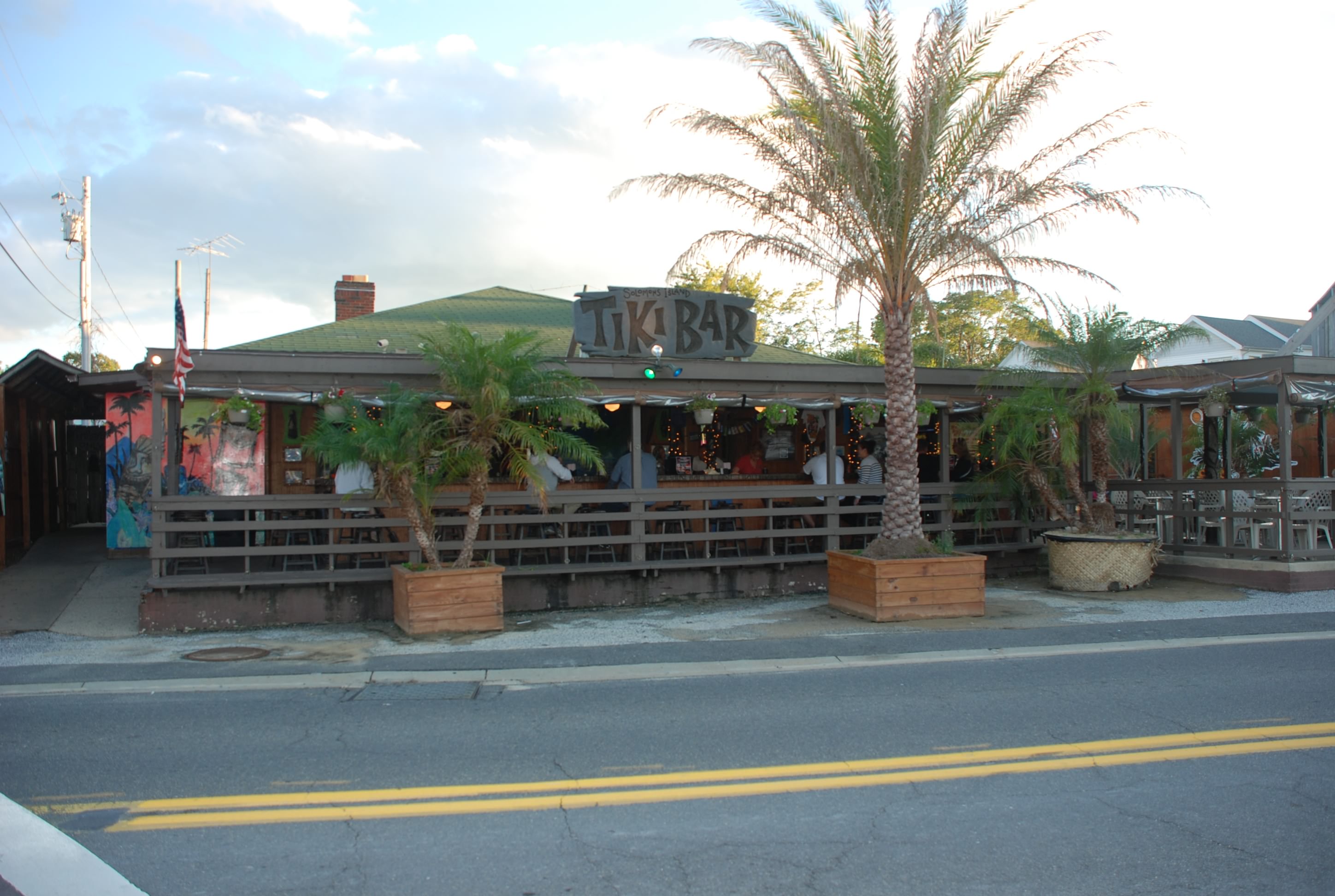
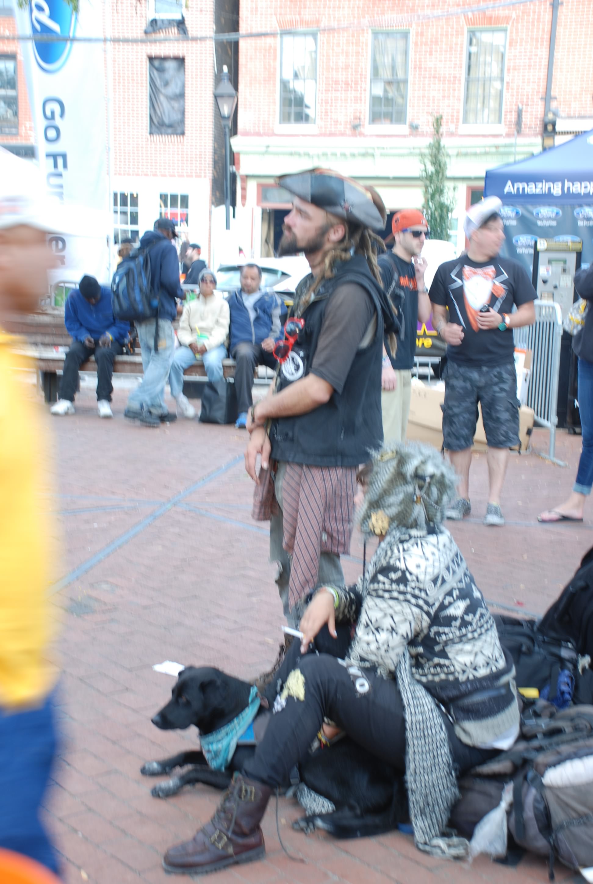
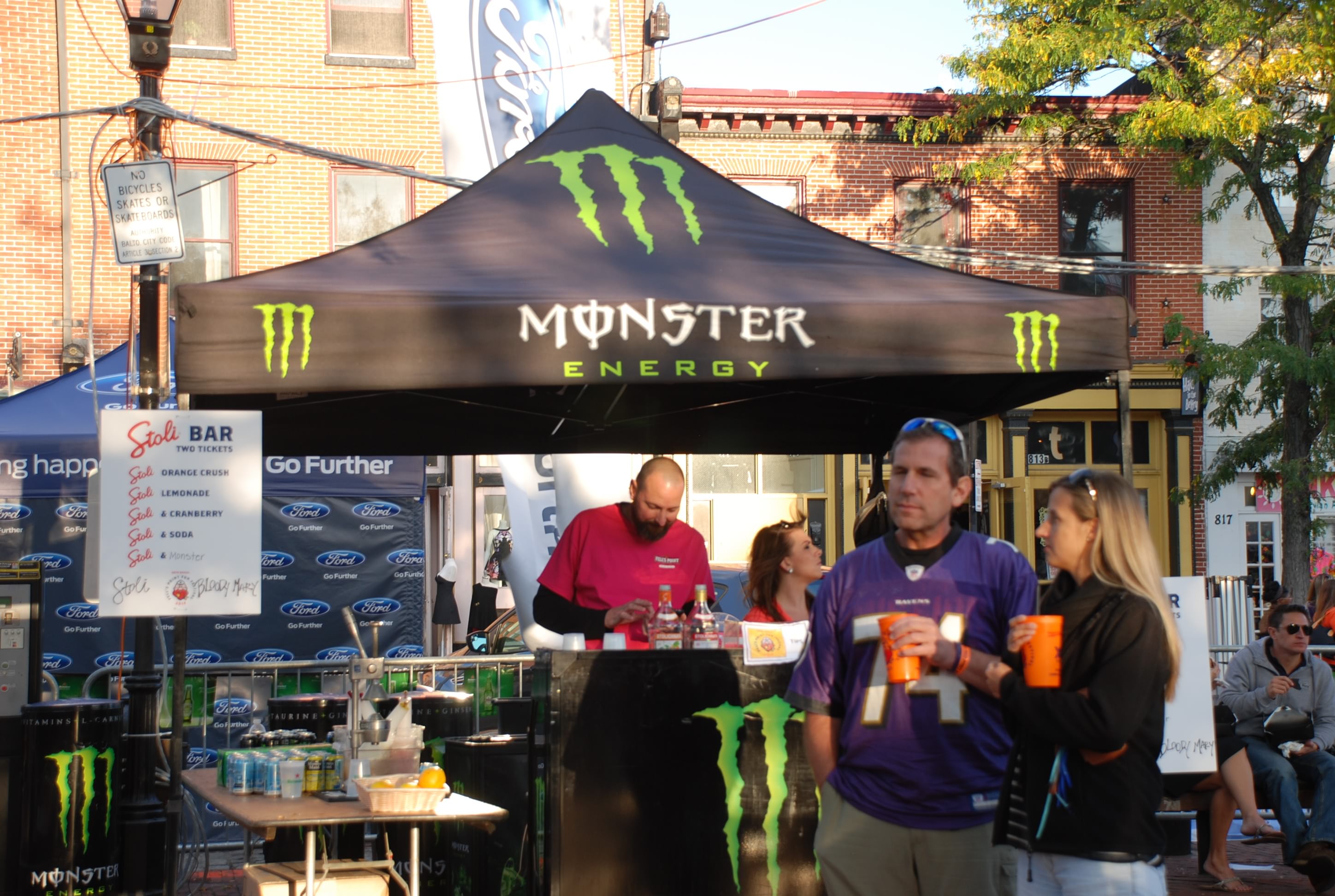
We walked to a good happy hour and had some wings and mussels. Food was good, but there were a lot of weird people in that place. Good entertainment.