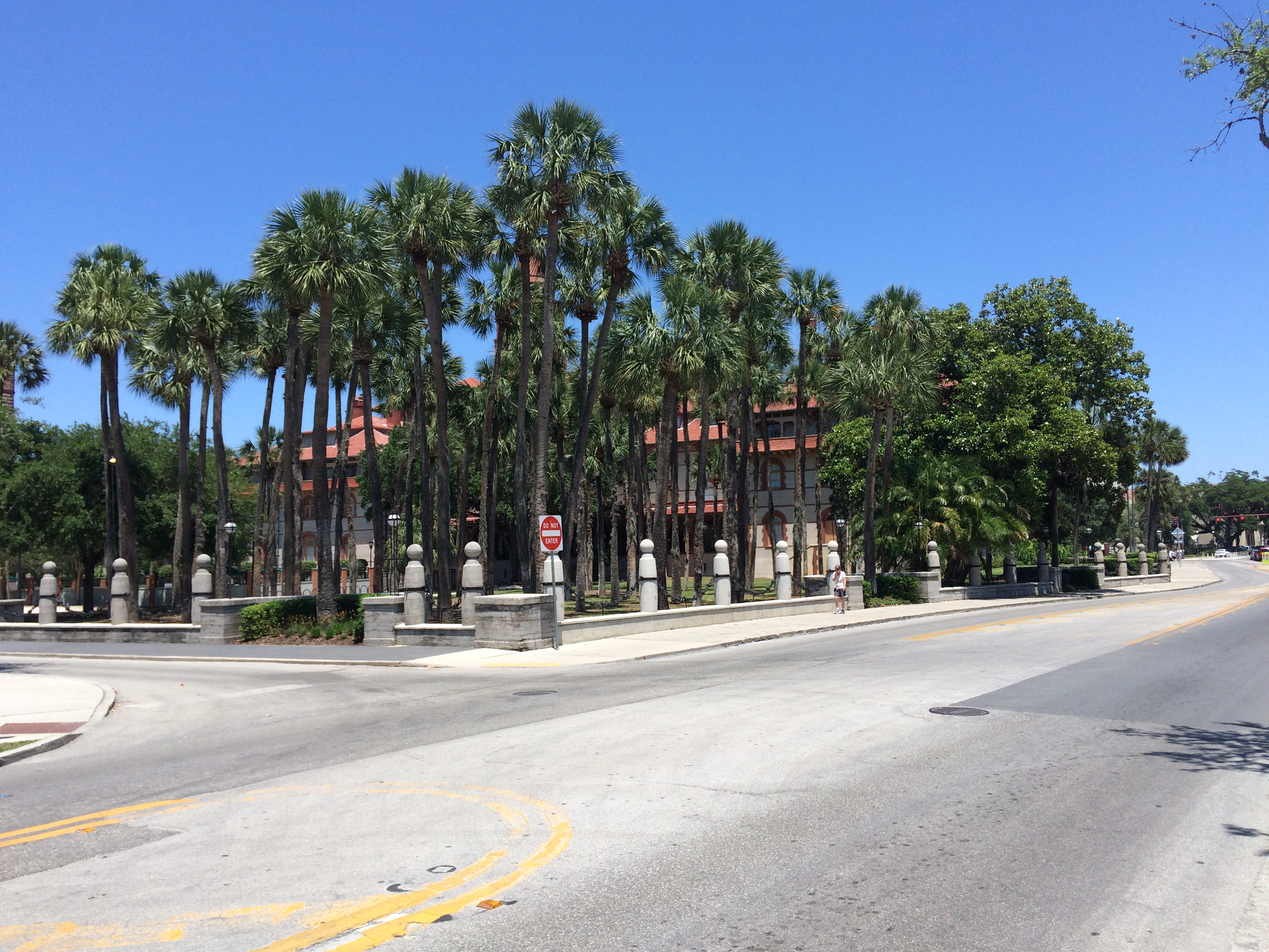
Category Archives: ICW – Intracoastal Waterway

First time to do some fishing

6/6/16
Southport NC
Posted by Bill

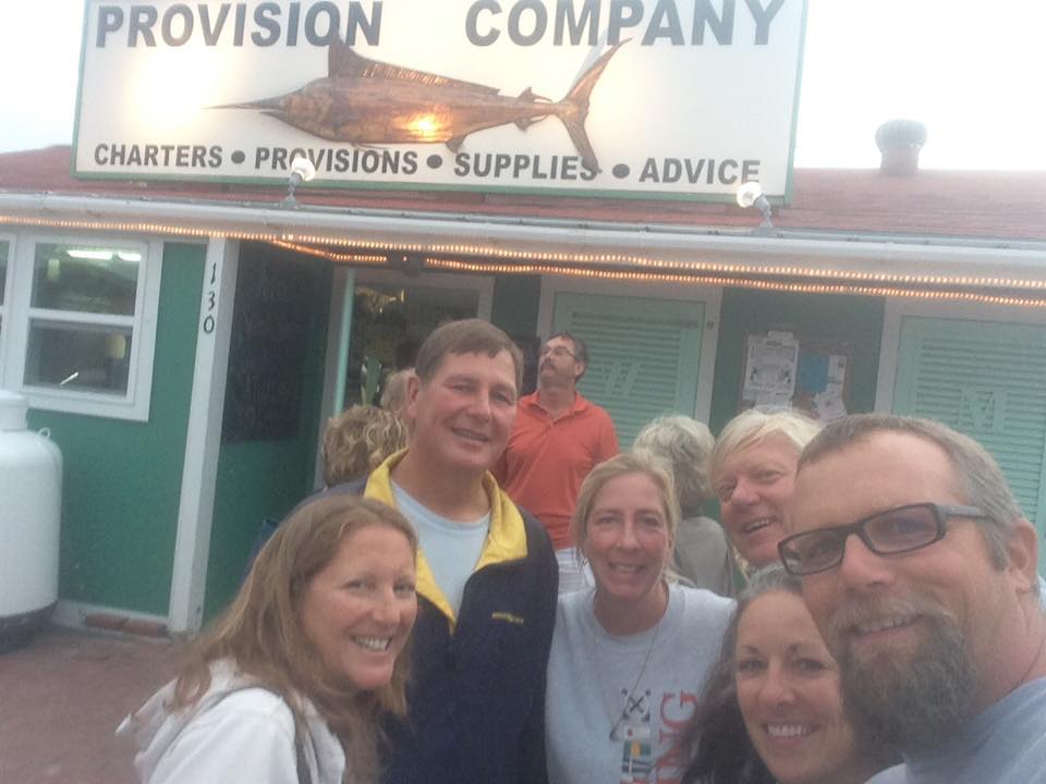
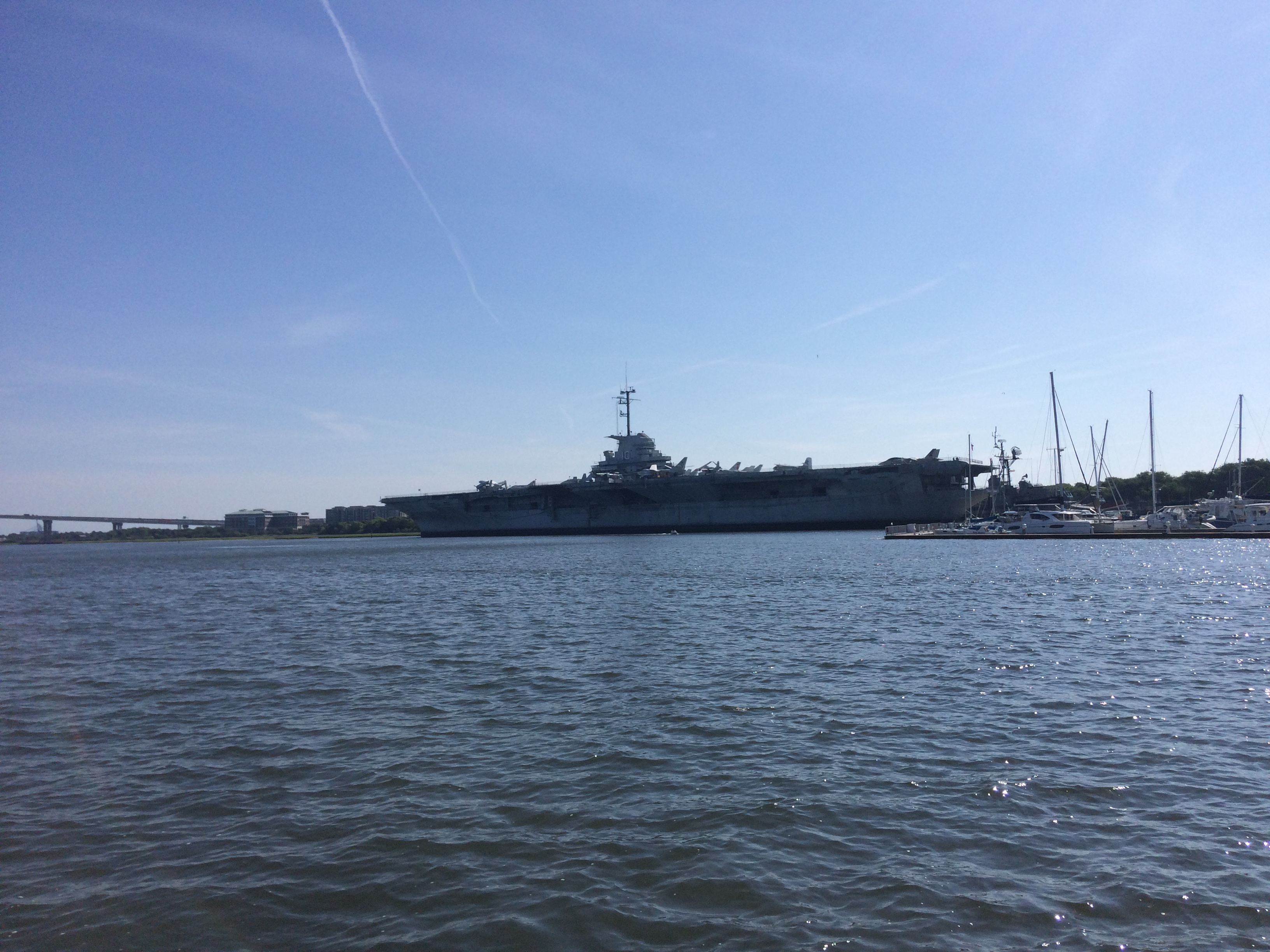
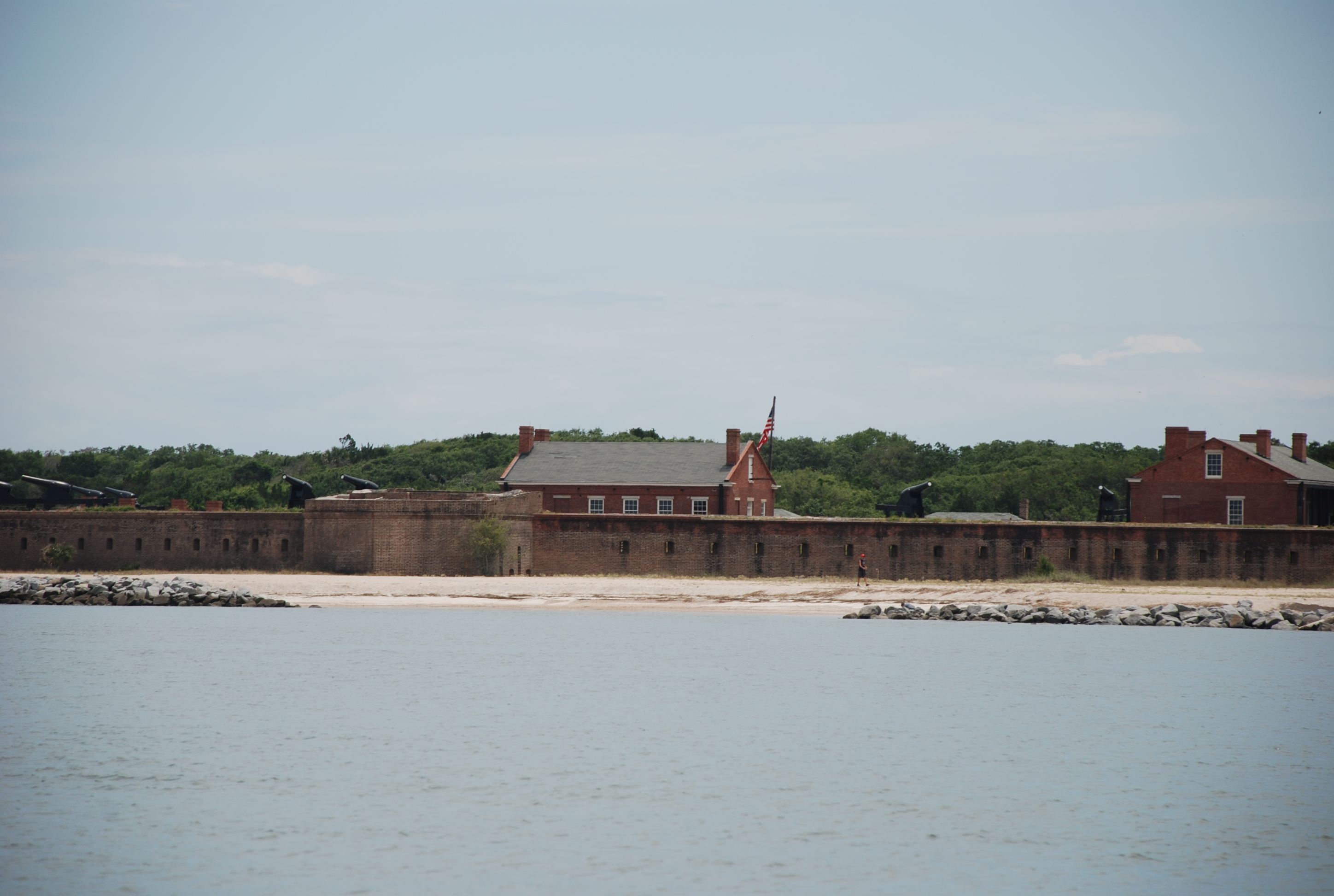
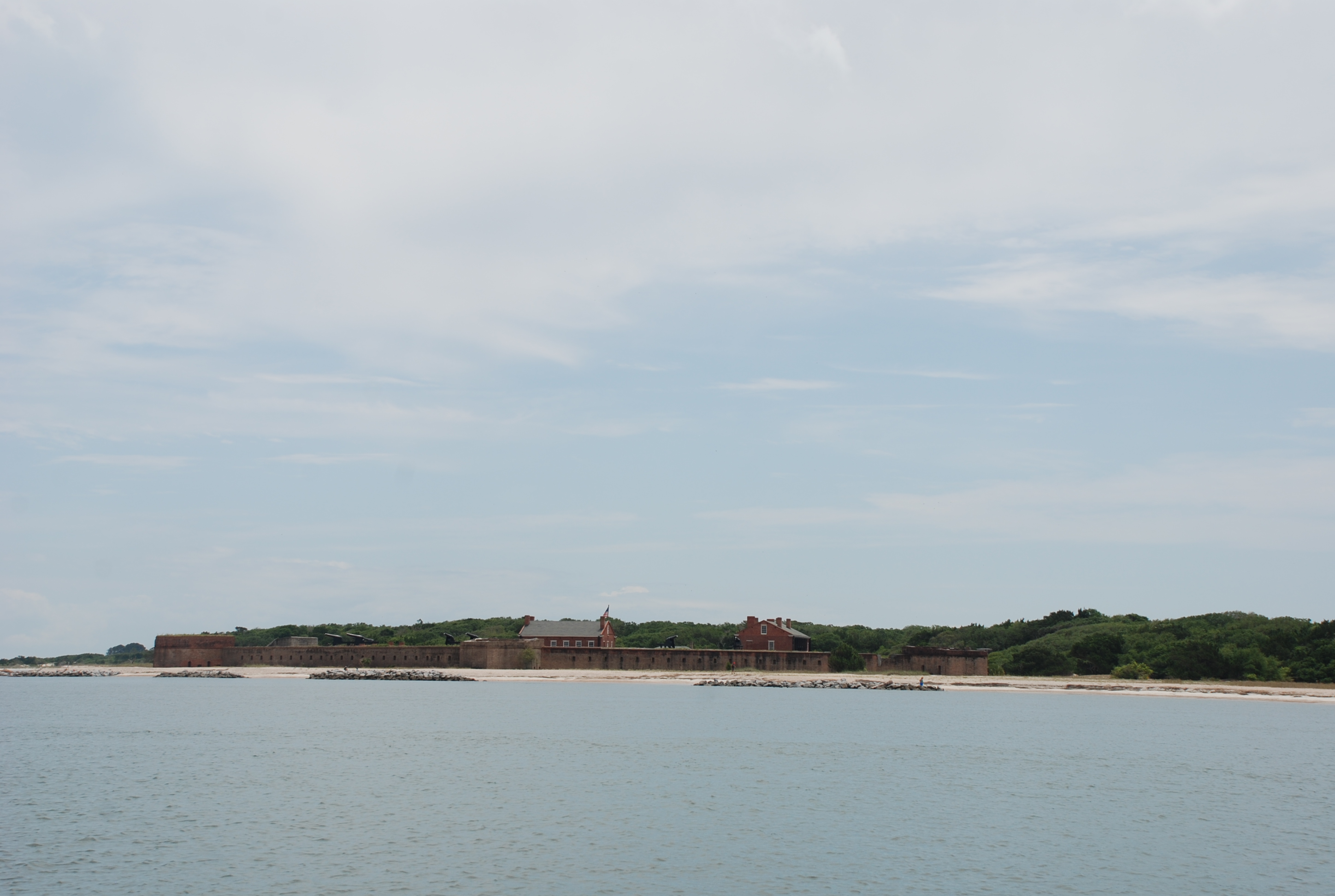
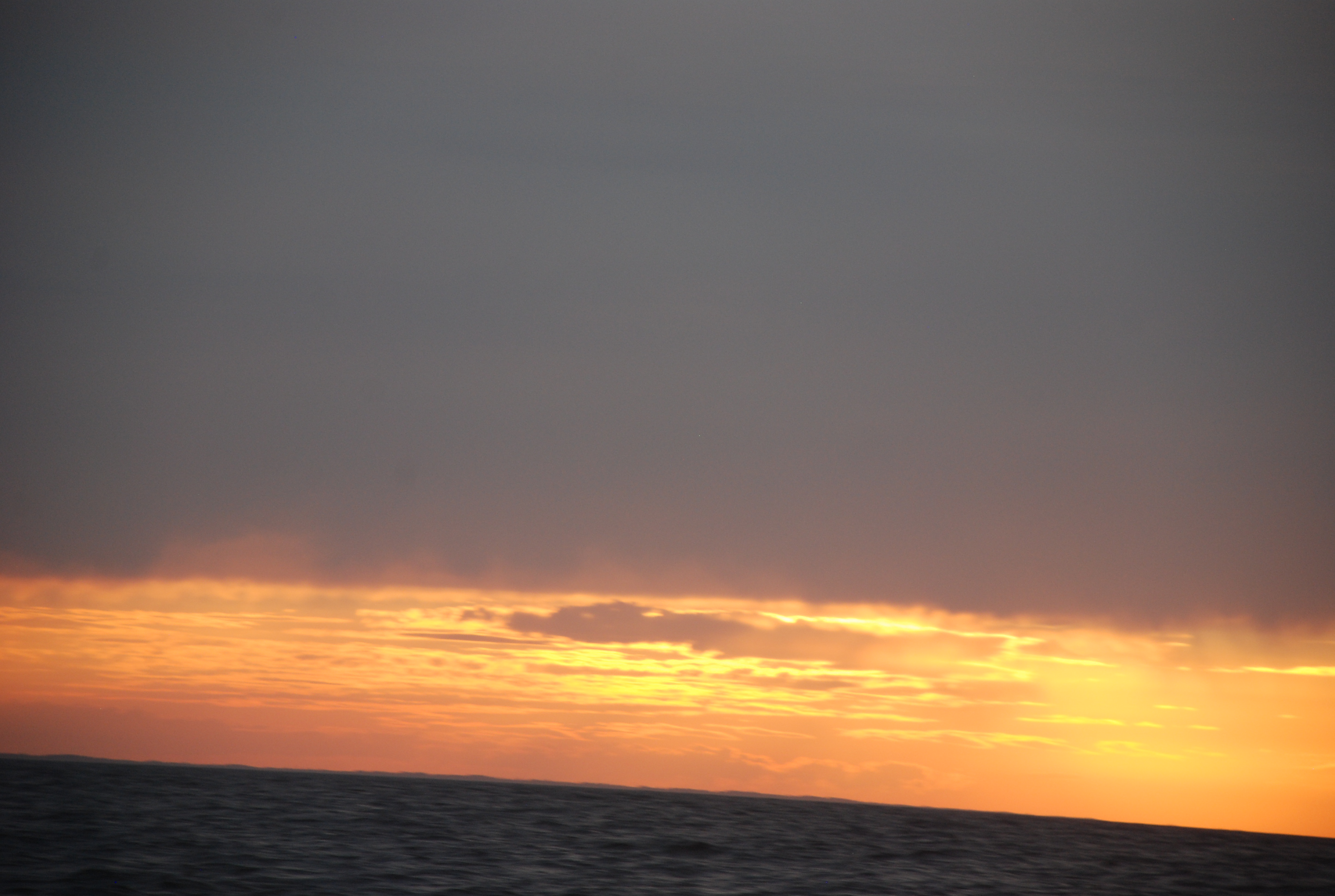
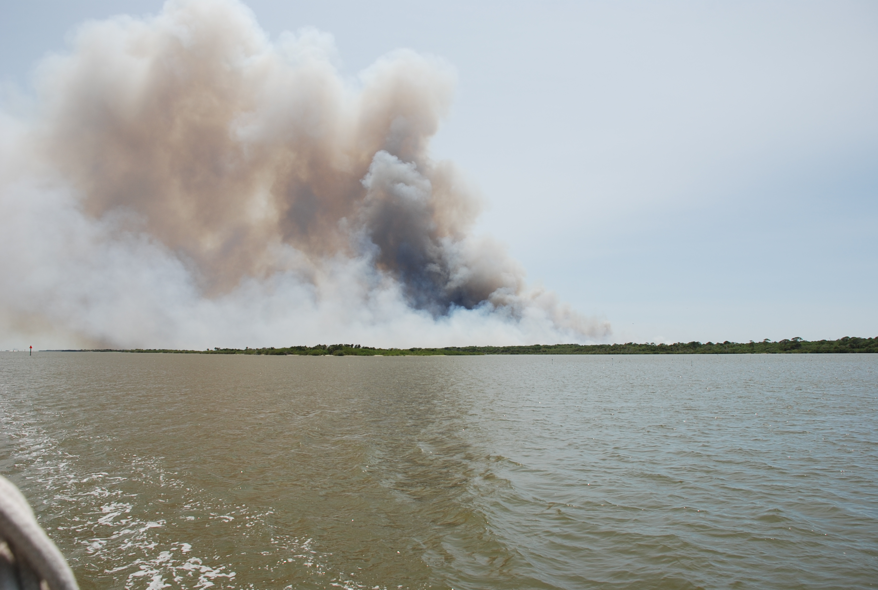
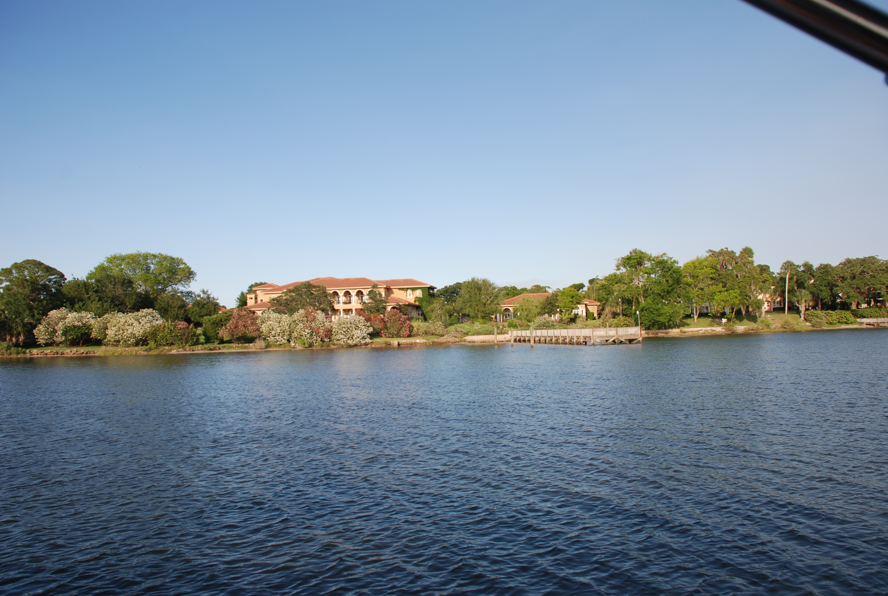
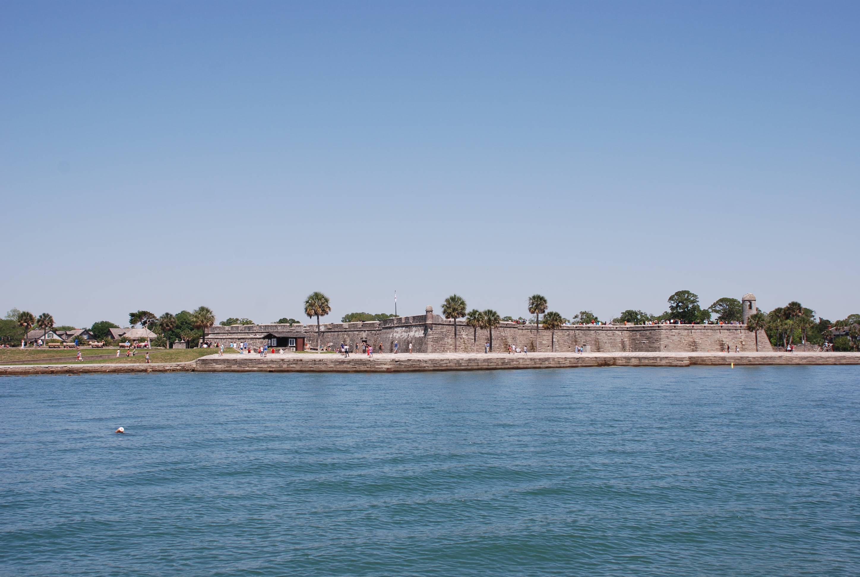
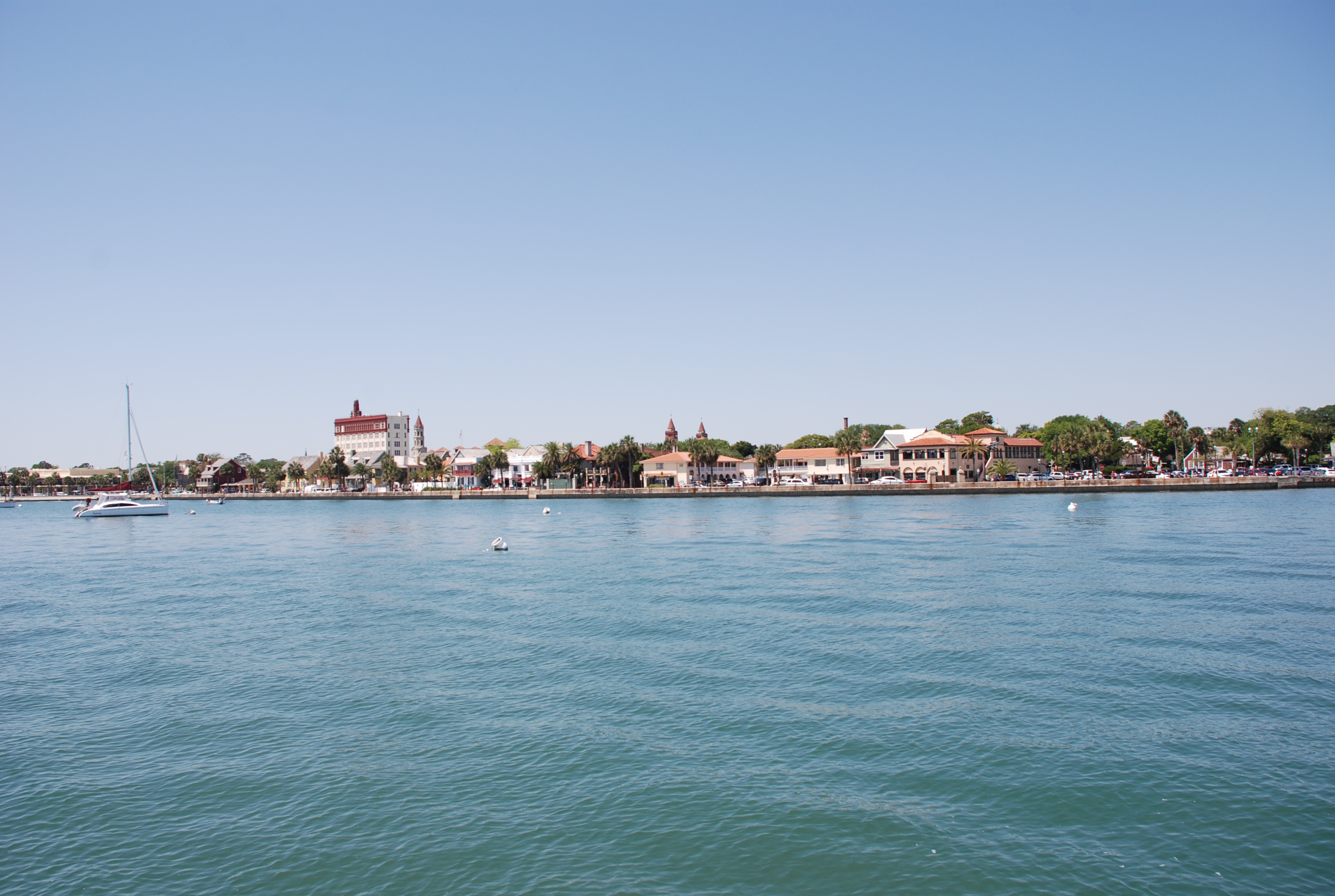
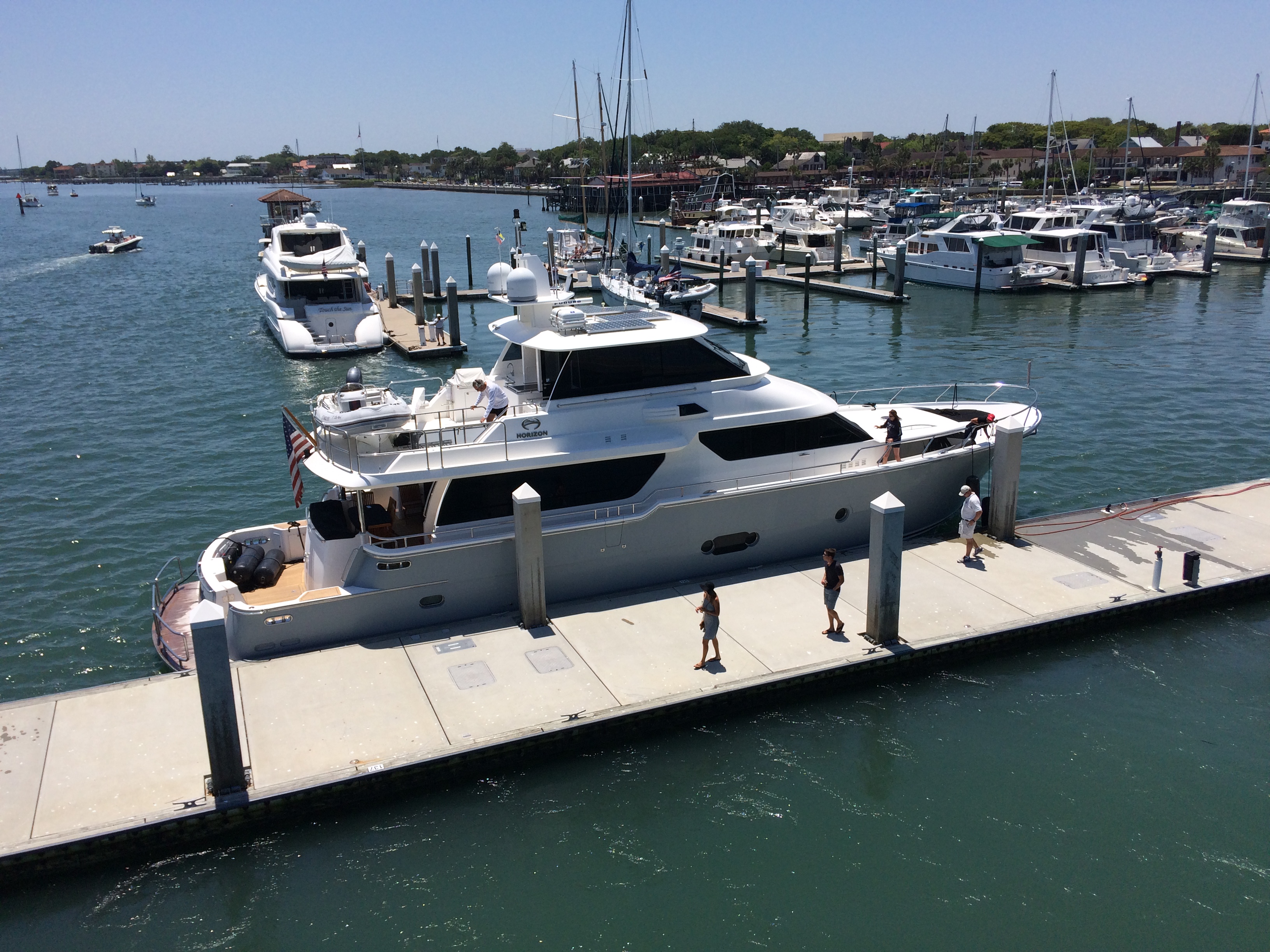
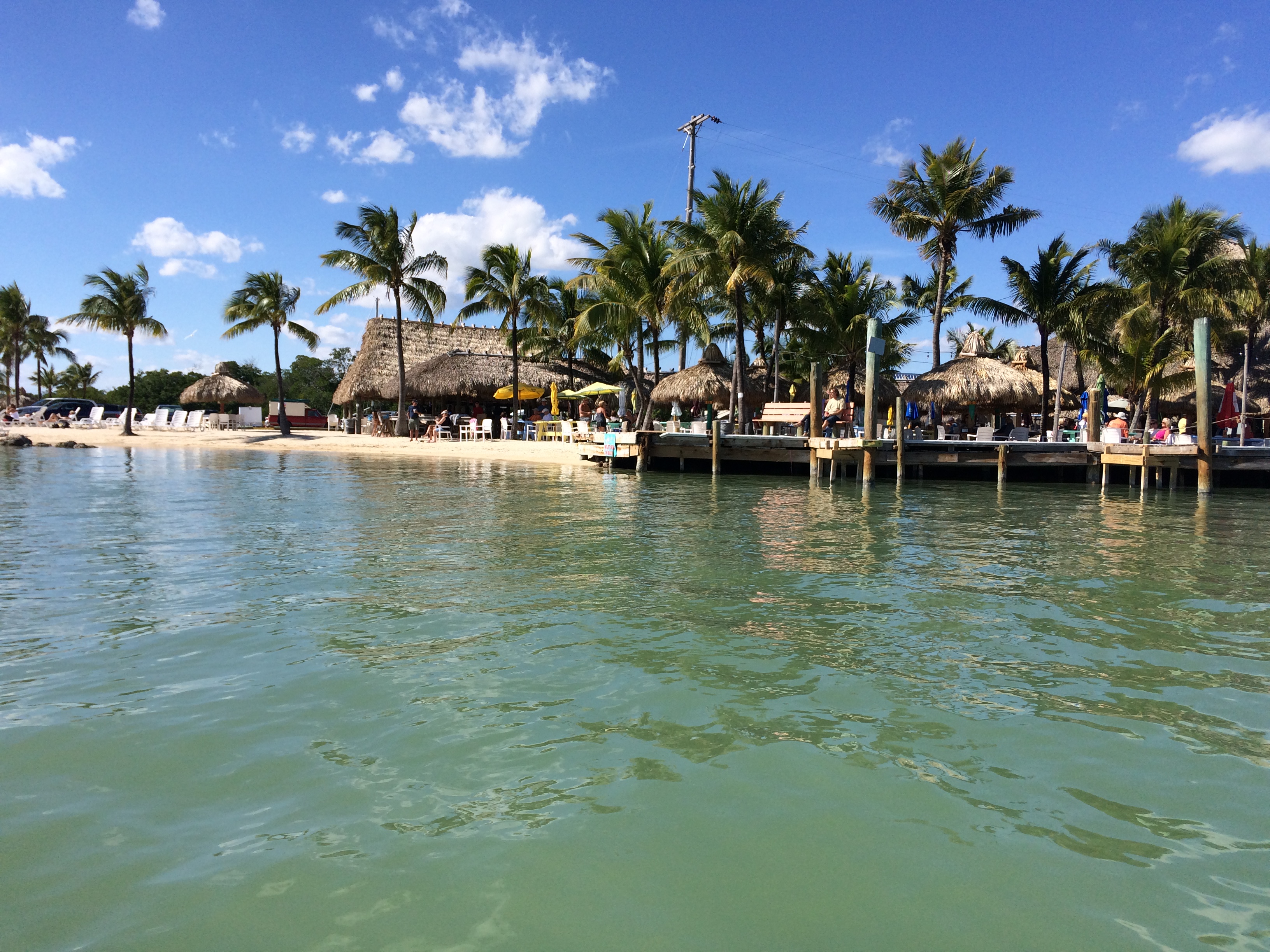
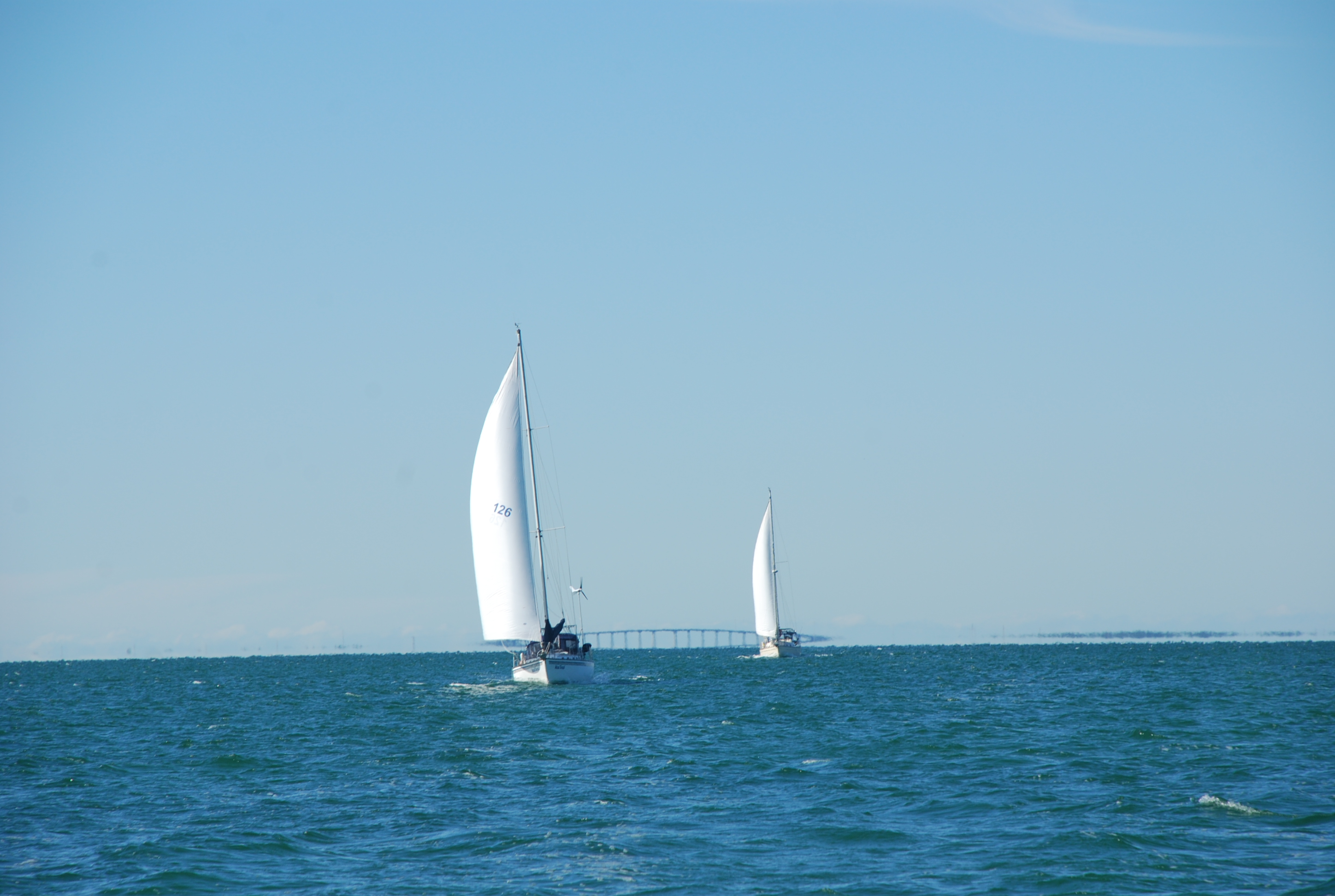
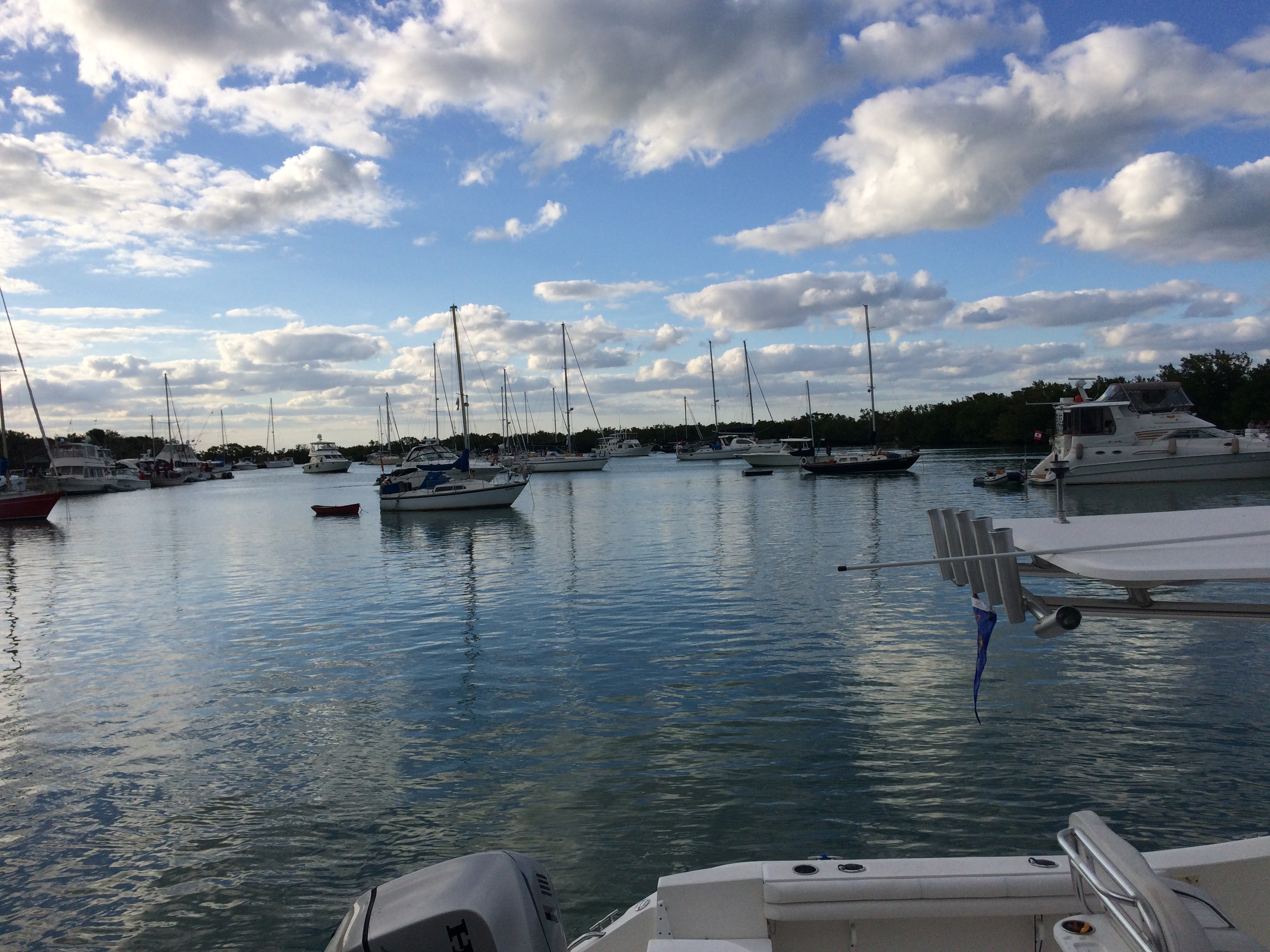
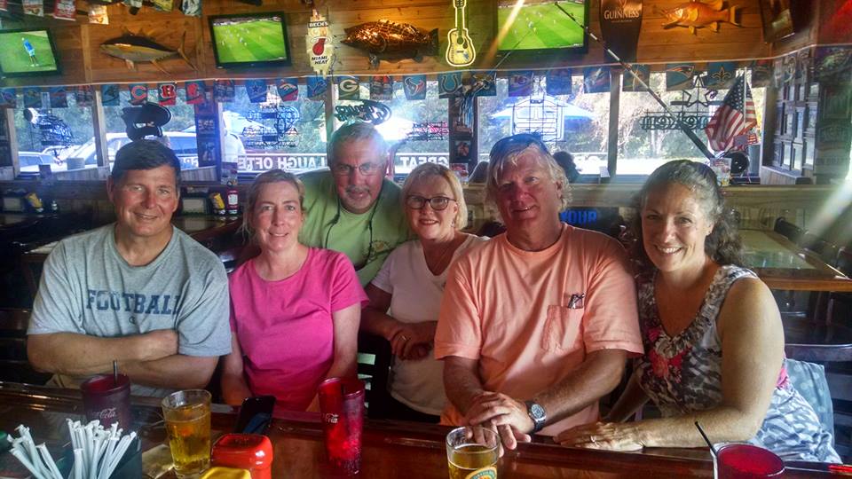
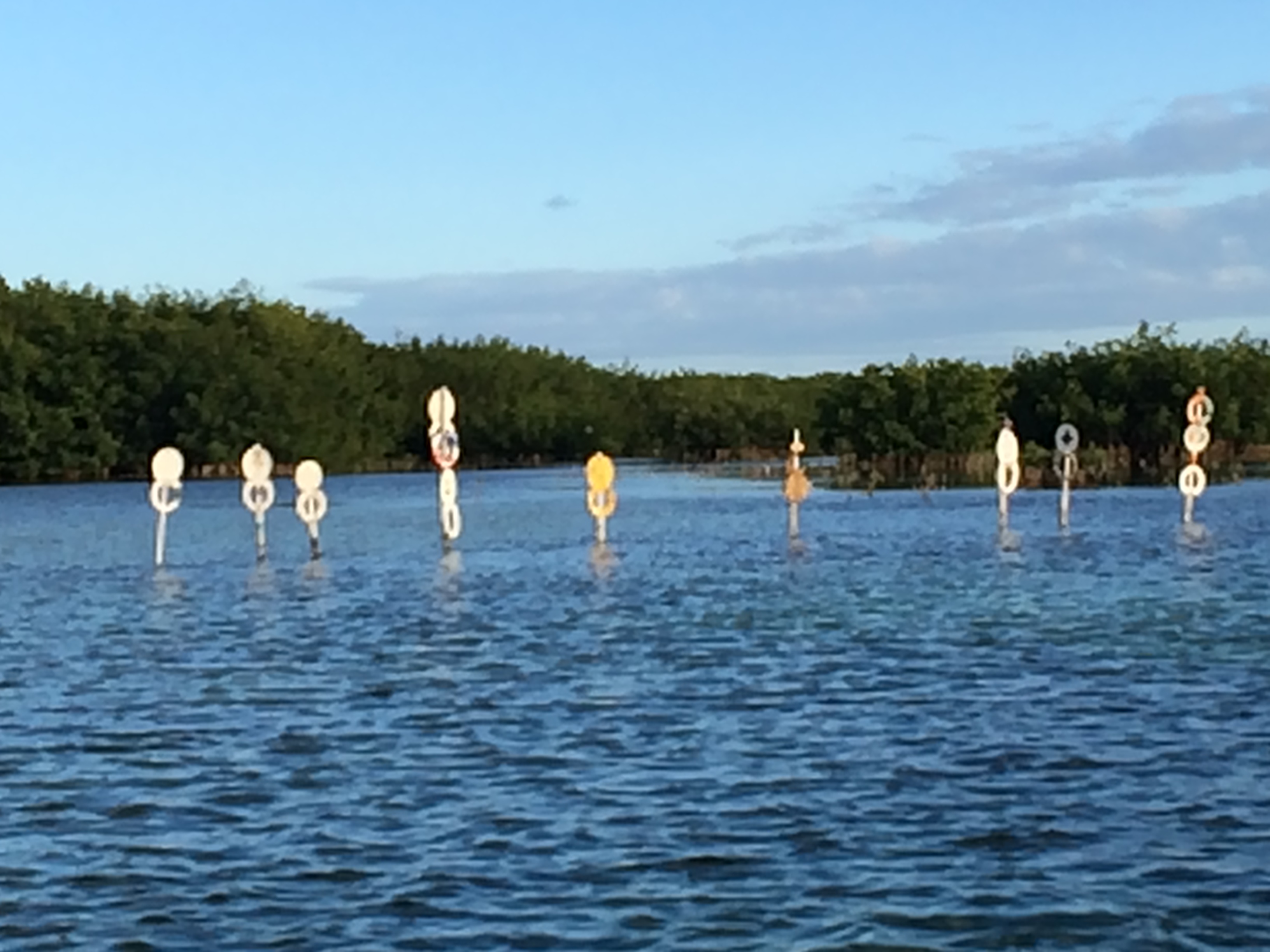
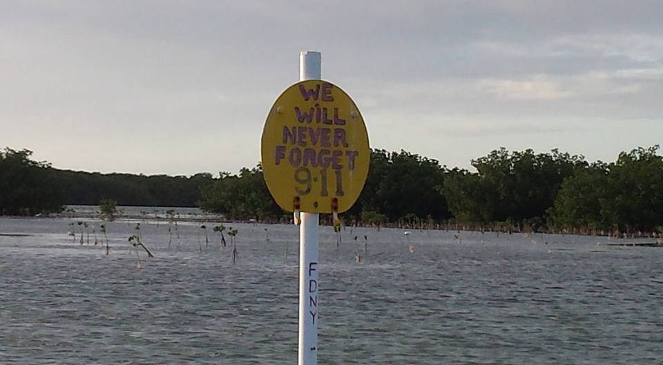
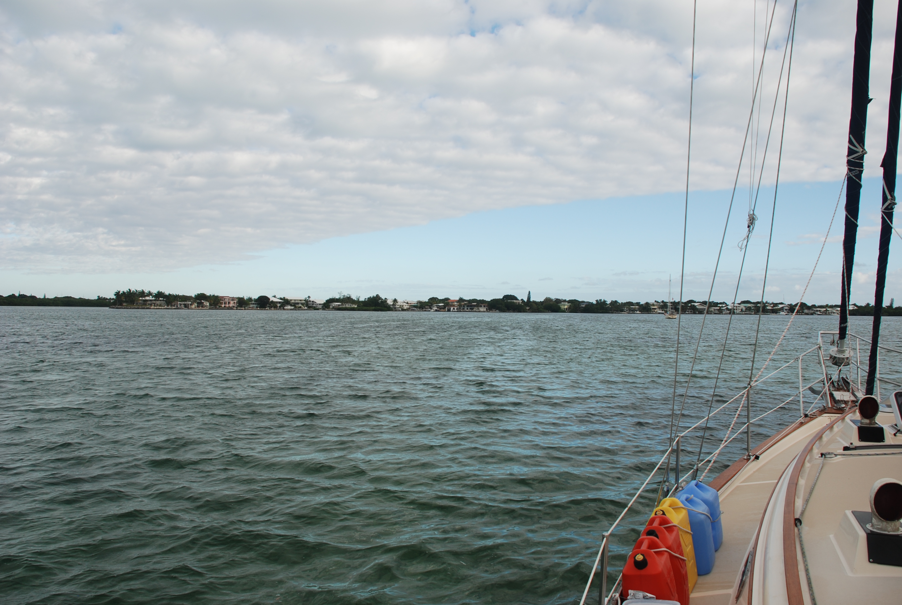
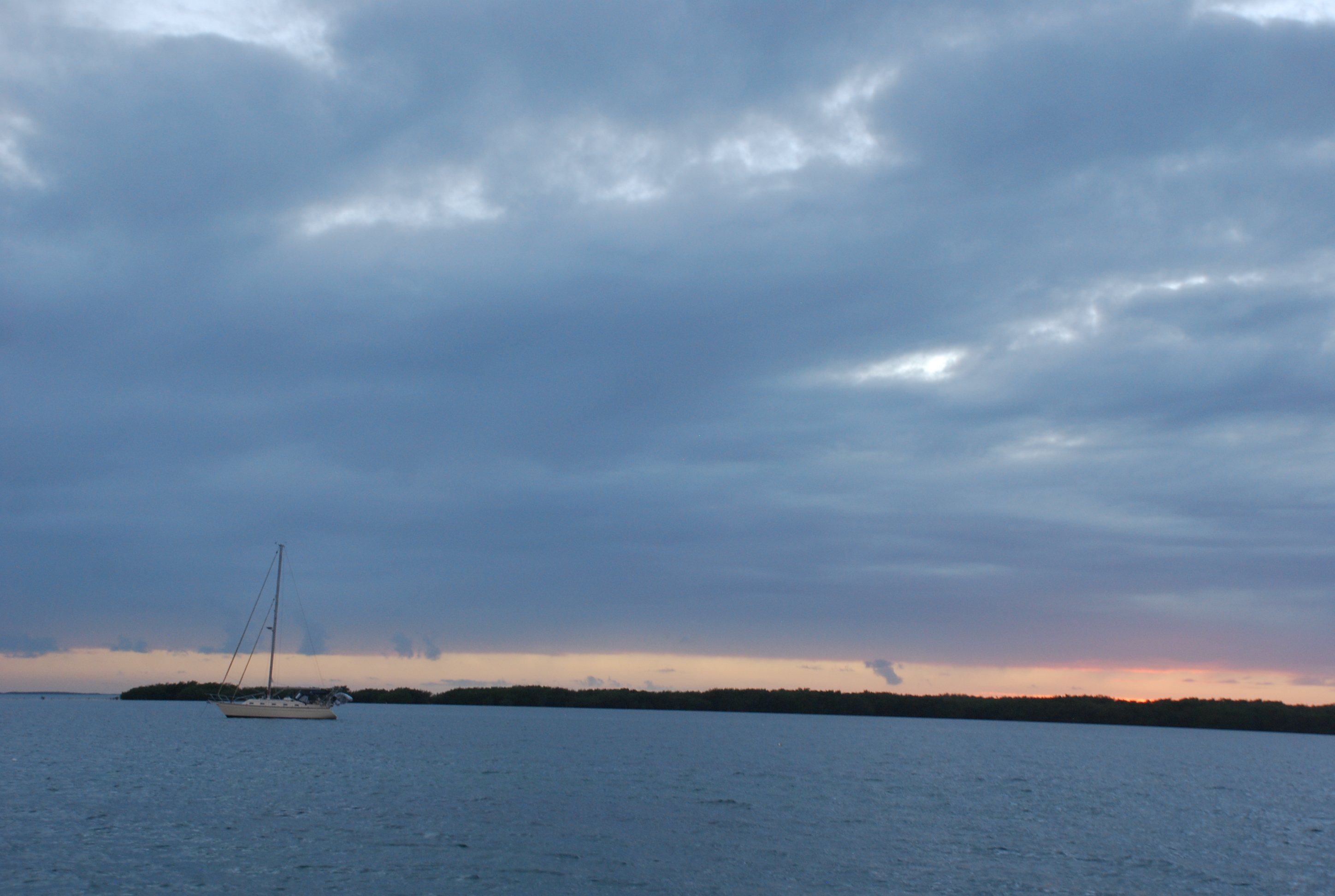
It has been a few weeks since we arrived in Southport and since I’ve posted anything. Since I have posted so much about Southport last year, you will probably not see much posting for a bit unless something interesting happens. We got settled in shortly after our arrival here, hit most of our favorite haunts and places to eat, caught up with our friends here, and took to property hunting post haste. We looked for property here the last 2 years, and since the real estate market here is hot as fire, we knew we had to hit it hard right away. We have tried to make offers on several properties but have not been able to strike a deal yet. We will keep trying. We also started to attack the project list and have been able to get a few things checked off. True to form for the year, the weather has been a little crazy (2 tropical storms so far), and that has put a damper in our work schedule as well as our typical routines here in the marina (think fishing and watching the wildlife). The marina is now so popular that all of the slips are taken, including the ones at the end of our D dock where we used to sit and fish and watch the wild life, a major bummer. Last night the large cruising boat at the end of D dock left for a few days at Holden Beach, so we got our prime dock space back. Greg and I (mostly Greg) jumped in his fishing skiff and caught some bait fish, and we had a flounder catching tournament. We almost caught 2 skates, and also pulled up 3 crabs that had clipped on to our bait, but no flounder. We also got a good view of the boats coming in and out of the marina, like this beauty:
IMG_2336
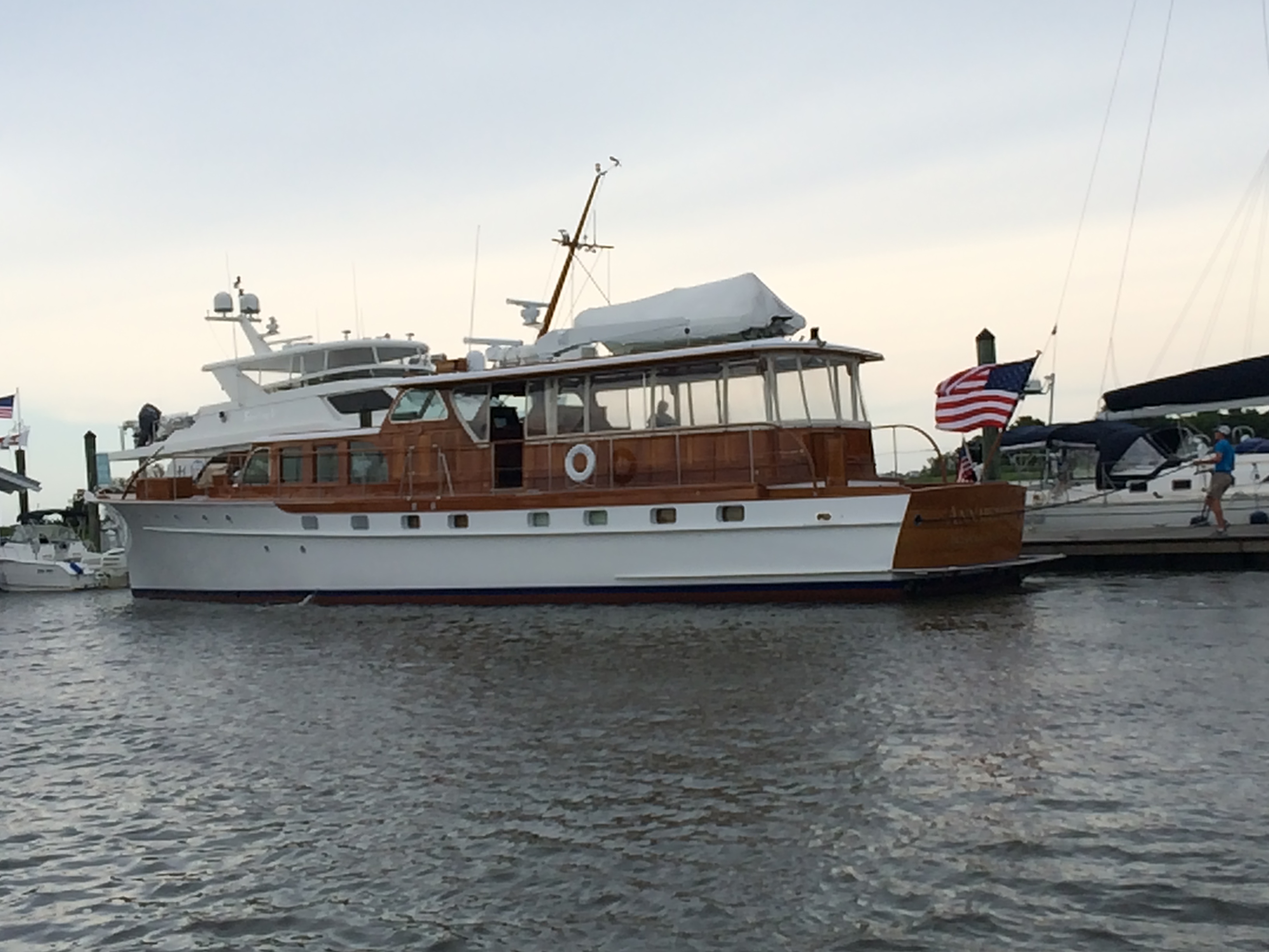
It is fun to see the number and kinds of boats that move in and out. Southport marina is a major cross roads on the ICW and the Cape Fear River, so there is a lot of transient traffic moving in and out.

This Thursday we are renting a car and driving up north to attend the graduation festivities of our niece Elise. All of the Wehmer side of the family is going to be there and we are excited to see everyone. Our kids and grand kids are coming, so it will be extra special. Then we are going to evaluate selling our house on Lake Erie. No one in the family is using it, and we only get there for about a month each year, so we will take a hard look at selling. If you know anyone who wants a place at the lake, let us know! Then we intend to swing by Akron to visit Tricia’s parents, and through Columbus for a short visit with our friends, kids, grand kids and Mark and Diane. We will need to get back to Southport to deal with everything we have going on there, so it will only be a week or so visit up north.

Back home in Southport

5/22/16
Southport NC
Position: 33 55.089N, 078 01.719W
Posted by Bill

On the 18th, we upped anchor and headed for Myrtle Beach. We had the current with us the entire day and made fantastic time, so we blew past Myrtle Beach and anchored at the Little River Inlet on the North Carolina border. Position: 33 52.351N, 078 34.205W

The next day we only had to go 33 statute miles to Southport. We had several shoal areas to transit, including the last inlet on the trip: Lockwoods Folley Inlet. I read several comments on Active Captain about the inlet and the gist seemed to be: When you get to the inlet, ignore a red buoy and head far to the left to have deep water. We got the the inlet at almost dead low tide, and as I started to move to the far left, we ran up on a sand bar. I was able to back off and get back to deep water, and we decided not to ignore the red buoy, and go around it before we went far left. No problems after that. I am still not sure how I misinterpreted the Active Captain comments, but no one was hurt, including the boat, so all is good. We pulled into our slip at Southport Marina around 2:30 PM, concluding our cruising season. It was great to see all of our friends again, and Matt and Shirley threw a welcome home party last night at their new house (which is absolutely amazing). Matt made a mexican feast and everyone partied heartily. We have also hit some of our favorite places already…like Provision Company. Here we are with Mark and Jan, and Matt and Shirley:
13244795_1110588472338306_7197253812563615961_n

We will be traveling back to Ohio a couple of times this summer. I also have a 2 page list of projects that need to be completed before we go south again in the fall, so we will be pretty busy.

This cruising season, we traveled 2,216 nautical miles, 2,551 statute miles. Since we started cruising, we have traveled 5,699 nautical miles, 6,560 statute miles.

Wrap up in Charleston and on to Georgetown

5/17/16
Georgetown SC
Position: 33 21.961N, 079 17.424W

On our last day in Charleston, we did something we never do…sightseeing like a tourist. We took the water taxi across the Cooper River to Patriots Point and went to the aircraft carrier tour. It included the carrier, a destroyer ship, a Vietnam war display, and a submarine. It was very cool and we are glad we did it. Then we took the water taxi back over to downtown Charleston and had a late lunch at the Griffen, a bit of a dive bar, but the food was great. After several bar stops, we headed back to the boats and the next morning headed up the ICW. We made good time as the tide was with us most of the way and we stopped in Georgetown for the night. Charleston was fun as always, and it was fun to show Mark and Jan the city.

The Griffen:
IMG_2312
IMG_2311

The aircraft carrier:
IMG_2293
IMG_2292
IMG_2288
IMG_2309

Ahhh…Charleston

5/15/16
Charleston Maritime Center, Charleston SC
Position: 32 47.355N, 079 55.455W
Posted by Bill

The ICW route from Beaufort to Charleston is one of the most scenic along the Atlantic ICW. It also has some really bad shoal areas, with depths below 5 feet at low tide, which is how much water we need to stay afloat. It takes some planning to figure the tides and currents into the route, and you have to make sure that you hit the shoal areas at the right time. Because of all of this, we knew we could not make it into Charleston in one day, so we planned several anchorages along the way as a staging point so we could arrive at our marina in Charleston at slack tide. The current runs very strong at all of the marinas in Charleston, and it is not much fun to try and dock in. We have seen several boats crash while trying. The other major factor in the route plan was the opening schedule of the Lady’s Island Swing Bridge next to the mooring field in Beaufort. It will open on request before 7AM and is closed from 7 to 9, and then opens on the hour and half hour until evening rush hour. We wanted to get through before 7, but that would mean that we would hit the first shoal area at low tide…not good, so we had to wait until the 9:00 opening. We hit all the shoal areas perfectly, with at least mid tide and rising. As we approached the target anchorage, the tide was with us but was going to turn against us. Fortunately, we started picking up the tide from the next inlet north, which made the tide favorable, so we kept going, and rode it all the way to Wapoo Creek, the furthest anchorage in our plan. Wapoo Creek is a short passage from the Stono River to downtown Charleston. It has a nasty tidal current and a lift bridge that we need to have opened. We anchored just outside the west entrance of the creek, in the Stono River at position: 32 46.087N, 080 00.315W. The reviews on the anchorage were all very positive and suggested the anchor holding was excellent. We did not find this to be true, and it took 3 tries before we felt like the anchor held…but it didn’t. We dragged around most of the night…not far…but just enough to keep me from sleeping. Most of the bottom is rock with a thin layer of mud, stones and shells. Fortunately, we had settled weather and only had to contend with the current changes in the river.

The next day we timed the opening of the Wapoo Creek bridge and slack tide at the marina perfectly. The winds were up so we were glad we didn’t have to also deal with the strong tidal currents while docking. We got into our marina around 10:30 AM, so we walked into town and checked out the farmers market, then grabbed a bite to eat for lunch. We really love this town. It is so vibrant and well maintained. The streets were full of people, mostly a younger crowd. There are literally hundreds of restaurants and bars within a few miles of walking. Mark and Jan had never been here before, so we tried to show them a good time, hitting King Street during the afternoon, and the market district in the evening.

Today we are doing some laundry and grocery shopping, cruising essentials, especially while we have the convenience of being tied to a dock. We have spend less than 7 days in a marina since we left Marathon FL on the 22nd of February, which we think is great! Tomorrow we plan to do some site seeing and then leave on Tuesday. It will probably take 3 days to get to Southport.

I have a couple of pictures to share, but if you want to see more about Charleston, enter charleston in the search box on the top, right of the blog home page. You can see lots of pictures and learn more about why we love this city in our previous posts.

Our boats moored on the Beaufort River:
IMG_2286

Shopping the market on Market Street:
IMG_2287

Fernandina Beach to Beaufort, SC

5/12/16
Beaufort, SC
Position: 32 25.822N, 080 40.618W
Posted by Bill

We left St Augustine and made it to Fernandina Beach without issue, grabbed a mooring ball and hit happy hour at The Crab Trap, and a burger at Tastys…yum. The next day we took on fuel and water, and left at 12:30, going out the St Mary’s inlet to the Atlantic Ocean. There is a really cool fort on the inlet:
DSC_0037
DSC_0038
There was a ton of shrimping boats just out the inlet. We sailed overnight to Port Royal Sound and up the river to Beaufort SC. We had some really good sailing for the first 8 hours, but the wind died and the sea state started slamming us from the side (beam seas). The waves were only about 3-4 feet, but the direction was horrible. When our boat is not under sail it is really really rolly in beam seas, and it was like getting slammed with boat wakes for 12 hours, not fun at all. We had to dodge many big ships coming into and out of the Savanah River just before dawn, and then hit the inlet to the sound just as the sun came up and the tide changed, in our favor. Total of 20 hours underway. We grabbed a mooring in Beaufort and had a late breakfast at Blackstones, one of our go-to places here, then collapsed and took a much needed power nap. Later we had dinner at the Old Bull Tavern, where they have good food and fantastic cocktails. We enjoyed several! Today was laundry day and tomorrow we head out for Charleston. We are planning to be in Charleston from Saturday to Tuesday, then the final 2-3 day leg to Southport…home!

Sunset on the Atlantic:
DSC_0078

Vero Beach to St Augustine

5/8/16
St Augustine FL, ICW
Position 29 53.720N, 81 18.590W
Posted by Bill

We waited 2 extra days in Vero Beach due to a forecast of high winds and storms. We didn’t want to deal with the high winds in the open areas of the ICW in the Titusville area, and Vero is a hard place to leave. One day, we took several buses to Walmart. It is always fun to interact that closely with the general public and we saw some crazies. On the 5th, we finally took off and stopped in Cocoa FL, position 28 20.963N, 080 43.180W. I ran ashore real quick to mail some Mother’s Day cards, and then Mark and Jan came over to our boat for Cinco de Mayo. Jan brought a dip for tortilla chips, and they also brought stuff to make Mexican Hipsters, the new drink we discovered in Spanish Wells, Eleuthera, Bahamas. Mark had made the jalapeno infused tequila and it was really HOT! We used some of our un-infused stuff to tone it down. Tricia made pork enchiledas, and a good time was had by all. The Hipsters are the bomb!
IMG_2272

The next day we took the ICW to Daytona Beach and anchored just south of the Memorial Bridge, position: 29 12.443N, 081 00.391W. On the way there we cruised right next to a pretty big wild fire south of New Smyrna Beach:
DSC_0006
It was really getting bad as we went by. We anchored behind this house:
DSC_0010
It was a nice, quiet place to stay for the night. The next day we made it to St Augustine, another one of our favorite places along the trip route. We grabbed a mooring in front of the fort and the downtown area:
DSC_0014
DSC_0015
We bummed around for a couple of days, hitting our favorite places, and finding a new one – The Tini Martini Bar, right in front of our boats. St Augustine is very picturesque and the weather was great for walking the city:
IMG_2278
IMG_2279
There sure are a lot of crazy people in St Augustine. I just kept thinking of the words to Jimmy Buffet’s Fruitcakes song, imagining that he got some inspiration for it here.
Today we were walking across the Bridge of Lyons and saw this yacht come in to dock.
IMG_2277
The current runs very strong here and it was running from top to bottom of the photo. We watched this guy try to dock this thing in the slip across (towards the top of the photo) from where he ended up. The current grabbed him and slammed the swim platform against the dock he is now on, then slammed the boat sideways into the dock. Trying to leave that dock and get to where he was supposed to be, he raked the side of the boat across the dock and concrete pilings several times. He just kept trying to no avail. Why he didn’t just stop and wait for slack tide, we just don’t know. He messed that boat up bad. It was obvious that his skill level was below the requirement to handle that yacht. We could have voted an Ass Captain award to him, but we felt bad for him.

Tomorrow we move on to Fernandina Beach.

Back in the USofA

5/2/16
Vero Beach, FL
Position: 27 39.257N, 080 22.280W
Posted by Bill

I forgot to mention in the last post, that when we arrived in Allans/Pensecola Cay, we passed the 5,000 nautical mile/5,754 statute mile mark since we left to go cruising 2 years ago. I am not sure how exciting that is for anyone but me, but it was a milestone for me.

On the 28th, we left Allans/Pensecola and stopped at Great Sale Cay, a great place to stage to go back to the States. The holding is great, there is lots of room for boats, and the protection from wind and seas are excellent, except from the south or west. We just hung on the boat, trying to relax for the 2 day trip back to Florida and getting the boat ready for offshore passage. One thing that was a must do was the prop shaft packing gland adjustment. We had been getting more than normal water levels in the bilge for awhile, nothing major, and it wasn’t getting worse, and I isolated the source to the packing gland, so I kept putting it off. It isn’t hard to adjust, but we have to take all of the stuff out of the aft berth, a.k.a. the garage, to get access to it…a major pain in the butt. The prop shaft packing gland is the point at which the propeller shaft goes through the back of the hull and into the engine compartment. There is an adjustment nut pushes packing material (goretex) tight around the shaft to keep the water from coming in. After time, due to wear, the nut needs to be adjusted to reduce the amount of water coming in. The water flow was getting worse the last couple of days, and I didn’t want an issue with it going across the ocean and Gulf Stream, so I bit the bullet while anchored at Great Sale. It is in a very tight space, and I had trouble getting my wrenches in there. Mark came over and helped, and we took care of business (thanks again Mark).

The next day we left Great Sale around noon and headed across the Little Bahama Bank to Memory Rock, a break in the reefs where the bank meets the Atlantic Ocean. The wind was so calm that the sea looked like glass. We were in 15 feet of water and you could see everything on the bottom in great detail:
DSC_0154
DSC_0144
DSC_0150
The starfish in the last picture was probably about 6″ wide. It was mesmerizing to just sit and watch the water go by. I also saw a couple of large sea turtles and a dolphin that checked me out from underwater, then surfaced behind us. It helped pass the time. By dark we hit the Memory Rock cut in the reefs and headed into the ocean. We took a heading of about 270 degrees to compensate for the north flowing Gulf Stream current. There were several large cruise ships and a tanker that crossed our path through the night so we had to keep on our toes. The winds were low and the seas were 2-3 feet…not too bad! As we got into the stream and up until we hit Florida, the wave period got to be really short and it was uncomfortable, but certainly not anything like some of our passages where we had large waves and a nasty sea state. We hit the Fort Pierce inlet around 9:30 AM and motored up to Vero Beach, one of our favorite stops on the ICW. The trip lasted just over 24 hours and 135 nautical miles.

Yesterday, we took a walk to the beach and hit some bars for rum runners and such. We met up with our good friends Hayden and Radeen on Island Spirit at Waldos, for some drinks and great people watching! Today we took the bus to get liquor and groceries. It was nice to have such a great selection of food and drink, something we missed while in the Bahamas. Now we are doing laundry and looking forward to the hamburger special at Mr. Manatees tonight for dinner. Tomorrow we start the trip north. If we travel the ICW (intracoastal waterway) everyday without stopping, we can be in Southport in 11 days, but we will stay a few days at our favorite spots like St Augustine and Charleston. We expect to be in Southport within 3 weeks time. We hope you will continue to follow along!

Finally a window of weather to the Bahamas

2/28/16
Key Biscayne, FL, Outside No Name Harbor
Position: 25 40.371N, 080 09.930W
Posted by Bill

We left Tarpon Basin on the 26th and took a short hop up Florida Bay, anchoring off of a well known bar called Gilberts. It is on the road that runs from the mainland to Key Largo, and has a reputation for insane parties on the weekends. We took our dinghies in to take advantage of the rib dinner special. Gilberts has a great waterfront setup. A small beach and several large tiki huts, and tables all over, both outside and inside the tiki huts. We chowed the rib special (not very good ribs, but acceptable) and really enjoyed the drink specials for happy hour. As we departed to return to our boats, the wind had kicked up and we got pretty wet riding back. Here are some pictures.
Gilberts:
IMG_2023
The gang at Gilberts:
IMG_2025
Our boat, Island Bound, at anchor off of Gilberts:
IMG_2024

Then yesterday, we motor sailed up into Biscayne Bay, into Dinner Key marina and took a mooring ball. Dinner Key is in the town of Coconut Grove on the south side of Miami, and is a great place to go ashore. One of our favorite restaurants is there…Flannigans…and we enjoyed a great meal. Our buddy boats, Island Bound, followed by Sea Lyon, sailing up Biscayne Bay:
DSC_0074
Miami skyline coming into view:
DSC_0081

Today, the winds shifted and kicked up some nasty waves in our mooring field, so we decided to move across the bay to Key Biscayne and No Name Harbor to get some protection from the winds. This is also a popular place to stage to jump to the Bahamas, so we figured we would hang there and watch the weather for a few days. Any of the weather windows that looked good in the forecast seemed to fall apart, but the week ahead held promise. We went ashore in No Name Harbor and had dinner at the small restaurant there. The harbor was packed with boats and people, more than I have ever seen in there. The latest weather shows a good crossing to the Bahamas tomorrow, so we will plan on a departure at first light, checking again in the morning before we go. The plan is go head to Bimini, and if the weather is good, continue on to New Providence Island. If the weather is not good, we will stay in Bimini until it improves.

Picture of the mass of boats in No Name Harbor:
IMG_2031

Chillin in Key Largo…anchor drag blues…toilet seat pass

2/25/16
Tarpon Basin, Key Largo FL
Posted by Bill

After arriving 2 days ago, we ventured into Key Largo by dinghy. There is a nice public dinghy dock, with trash drop off, and a short walk to stores, restaurants and bars. The first order of business for us was to get a new hose for the anchor wash down. We bought a new one in Beaufort SC in November, but when I plugged it in to the wash down system I found that there were dozens of holes (or cuts as it turned out) in the hose, resulting in a salt water shower that covered the entire boat! We really need the anchor wash down as it is used to hose off the anchor chain and anchor when we pull the anchor up. Otherwise, the crap on the chain goes into the anchor locker, eventually finding it’s way into the bilge and stinking up the boat. We hit a hardware store just across the street from the dinghy dock, bought the hose, and then proceeded to happy hour a couple of doors down at D-Hookers. Great wings, and stiff drinks!!!! Here is the gang:
1937241_10201367902594975_4056617756125229462_n
Everyone came over to our boat for a nightcap when we returned, and we enjoyed a great evening at anchor until a short sprinkle chased everyone home.

The next day, after breakfast in the cockpit, we went ashore again and walked to several stores about a mile away, and then worked our way back as we checked out the bars we came across, hit happy hour at a couple of them, and beat it back to the boat to ride out an impending storm front. Around 9 PM it started and around 11 or so, the wind shifted. The winds picked up into the mid 20’s after midnight and I checked the anchor about every hour. When the wind shifts, the anchor will pull out of the sea bed and reset most of the time, but you have to keep an eye on it to make sure that it did set properly. We held fine until my 5 AM check, and I noticed that we had dragged about 500 feet toward shore. The anchor had reset, but it looked like I didn’t have enough chain out (scope) to take the winds we were getting. I started the engine and let out more chain, and we were sitting nice and tight in the sea bed. This is the first time we have dragged like that since we left the Great Lakes. Today we are planning to move up into the next basin, Blackwater Sound, and anchor next to a really great bar called Gilberts. It is very well known and regarded as a great place to eat and party.

As promised, here are some pictures from Toilet Seat Pass that we checked out a couple of days ago:
IMG_2008
IMG_2010
IMG_2015
165954_10206388093409335_9051944939736826418_n
12744046_10206388092689317_1063457691663921541_n
12734147_10206388092969324_848001680066685921_n

On the move again…another window slammed shut

2/23/16
Florida Keys, Tarpon Basin
Position 25 07.416N, 080 25.863W
Posted by Bill

Well, building up to yesterday, we saw a weather window to get to the Bahamas for this Wednesday and we left the grip of Harbour Cay Club yesterday morning. A bit of a false start though. We are traveling with Mark and Jan on Island Bound (same that we traveled with to the Bahamas last year), and Bob and Cat on Sea Lyon (friends we met a year ago at Harbour Cay Club. We all fired up our engines around 7:00, said our goodbyes to the many friends we have at Harbour Cay Club, and started to untie the dock lines. Then I noticed that the alternator light was on, meaning that the alternator was not charging the batteries. If you remember from previous blog posts, we have had intermittent issues with this system and I isolated it to the voltage regulator. It was behaving until we got ready to shove off. So, we told the other two boats to go on ahead and we would hopefully resolve the issue and catch up. We helped them with their lines, and after 20 minutes or so of troubleshooting, I decided to replace the regulator. Fortunately, we bought a spare, and after figuring out which wires went where, we started the engine up and had a working charge system! Yay! I did the rest of the install and we got off the dock just and hour and a half later than our friends.

Our original destination was an area called Tarpon Basin, about half way to Key Biscayne where we will cross to the Bahamas, but due to our delay we wouldn’t make it before dark. The others were good enough to take their time so we could catch up, and we opted to anchor on the Florida Bay side of Tavernier. Position 25 00.287N, 080 32.900W. It was a delightful anchorage, calm and quiet. DSC_0035
DSC_0037

Next to where we anchored there is a cut called Toilet Seat Pass. People have taken decorated toilet seats and hung them on poles all along the sides of the cut…it was hilarious. Of course we had to check it out in the dinghy, and when I get time to download the pictures I will post them in another post.

Waking today, we saw that the weather window we thought we had, had slammed shut…too rough for our liking, so we decided to slowly work our way north through the Keys and Biscayne Bay until another opportunity presents itself. We made our way to Tarpon Basin and anchored just in time to escape a major squall. After the fronts move through we will launch the dinghy and find a Tiki Bar on shore!

It is nice to be on anchor again and moving. Our stay at Harbour Cay was really nice except for the crazy weather, but we like being on the move after sitting at dock for 2 1/2 months. Nothing like a beautiful protected anchorage to renew the soul!

Solar update: The panels are performing very well and it will save us from using the generator to charge the batteries every day as long as we get adequate sunlight!