Monthly Archives: April 2015

Treasure Cay

4/14/15
Treasure Cay, Abacos, Bahamas
Position: 26 40.239N,077 19.036W
Posted by Bill

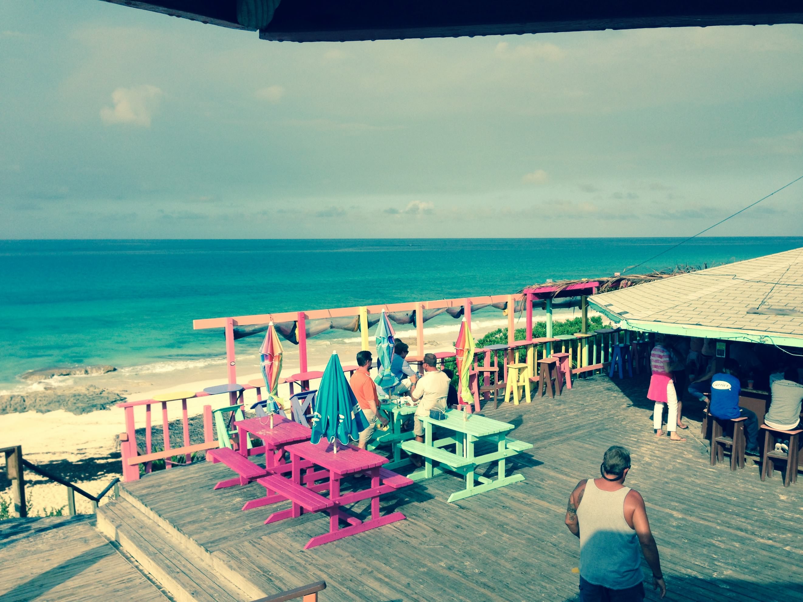
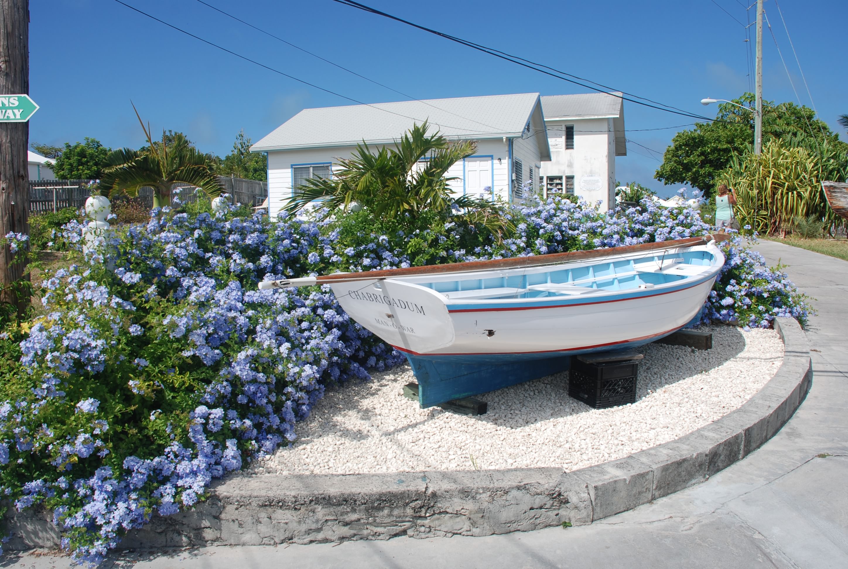
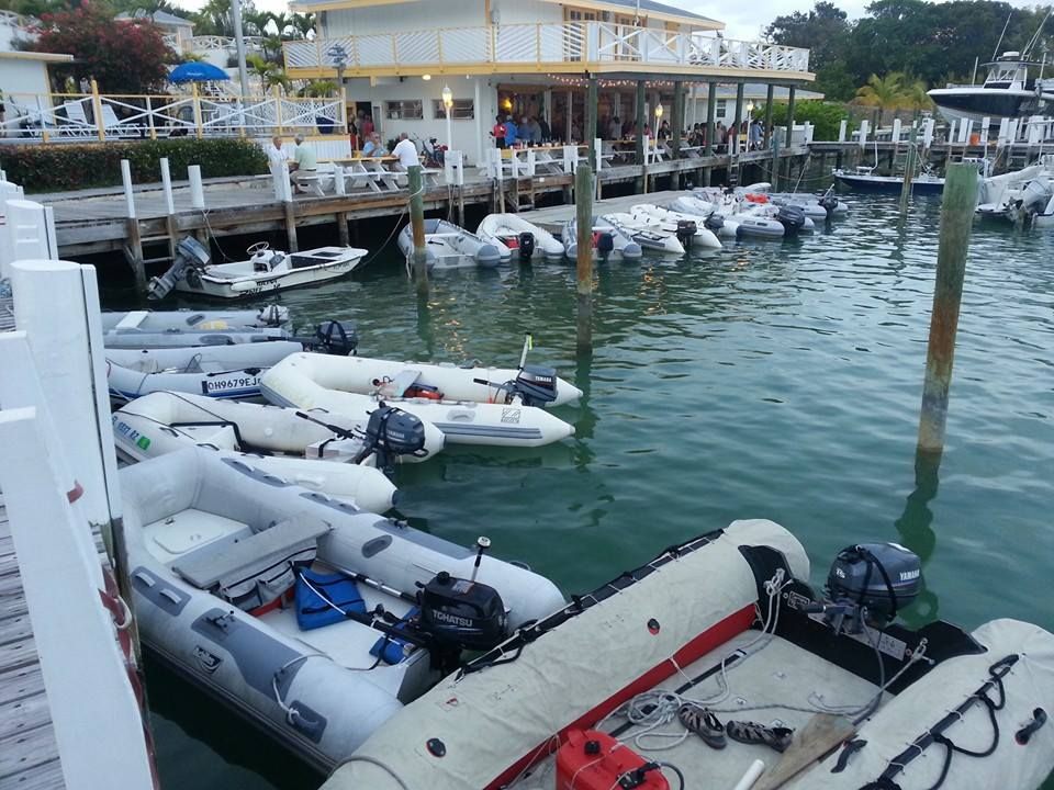
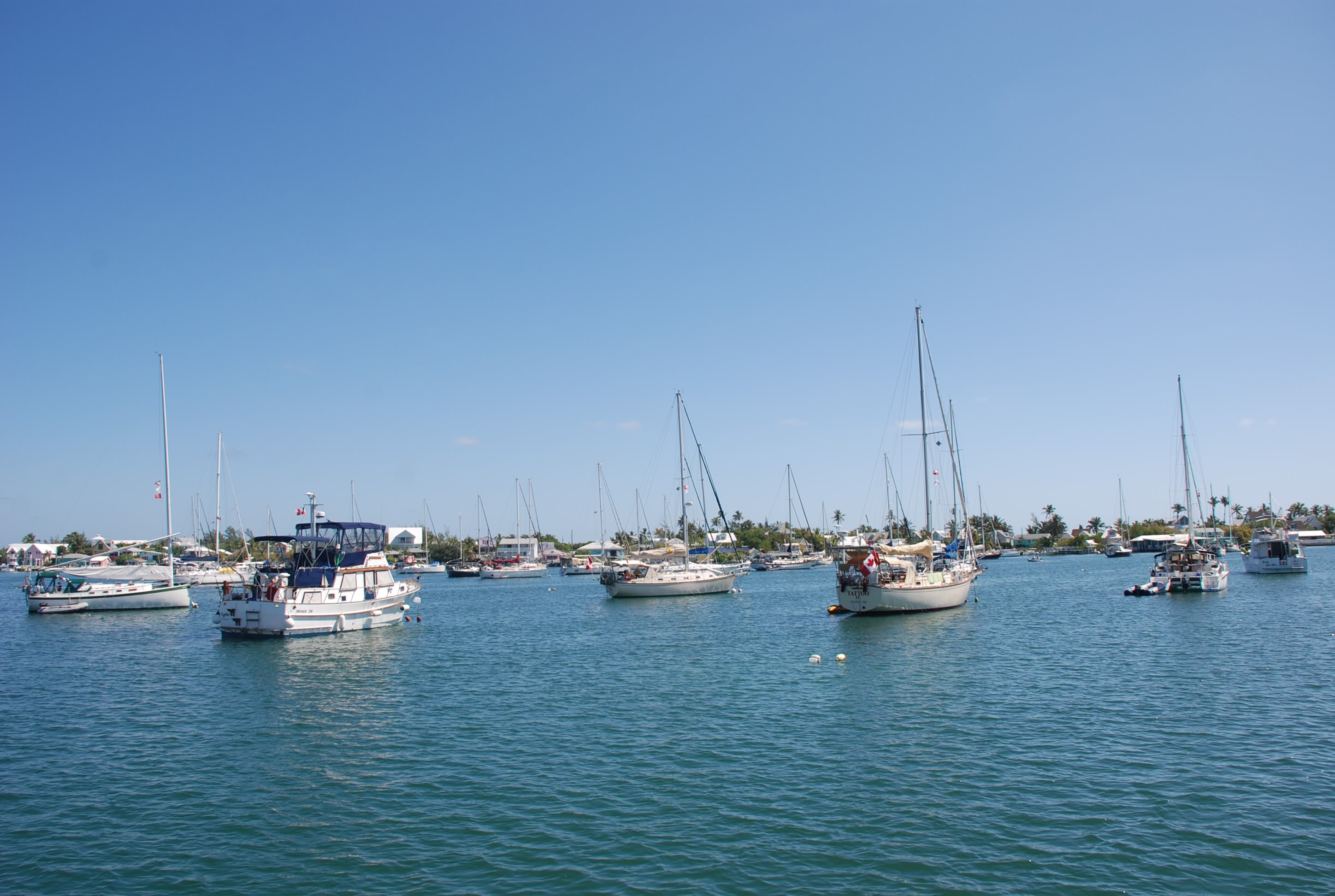
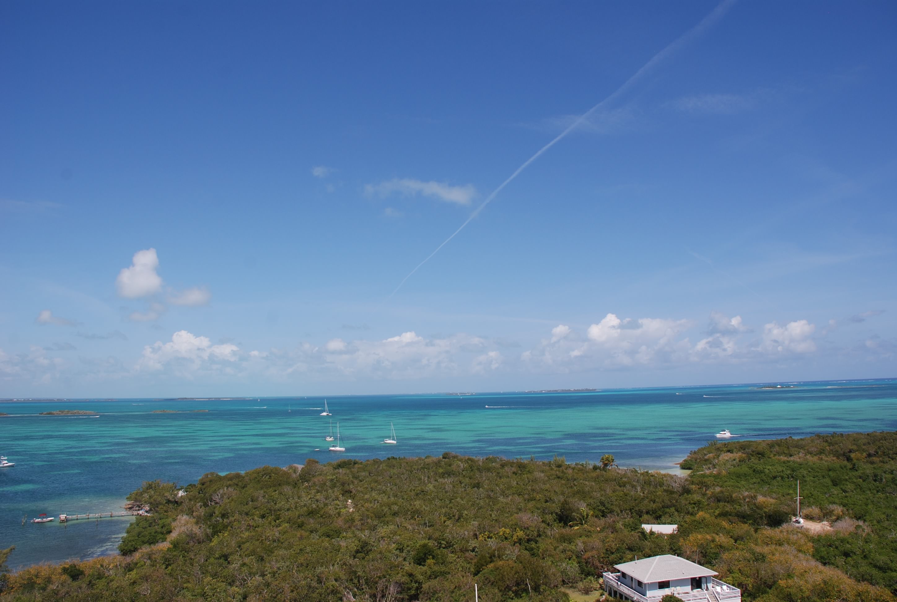
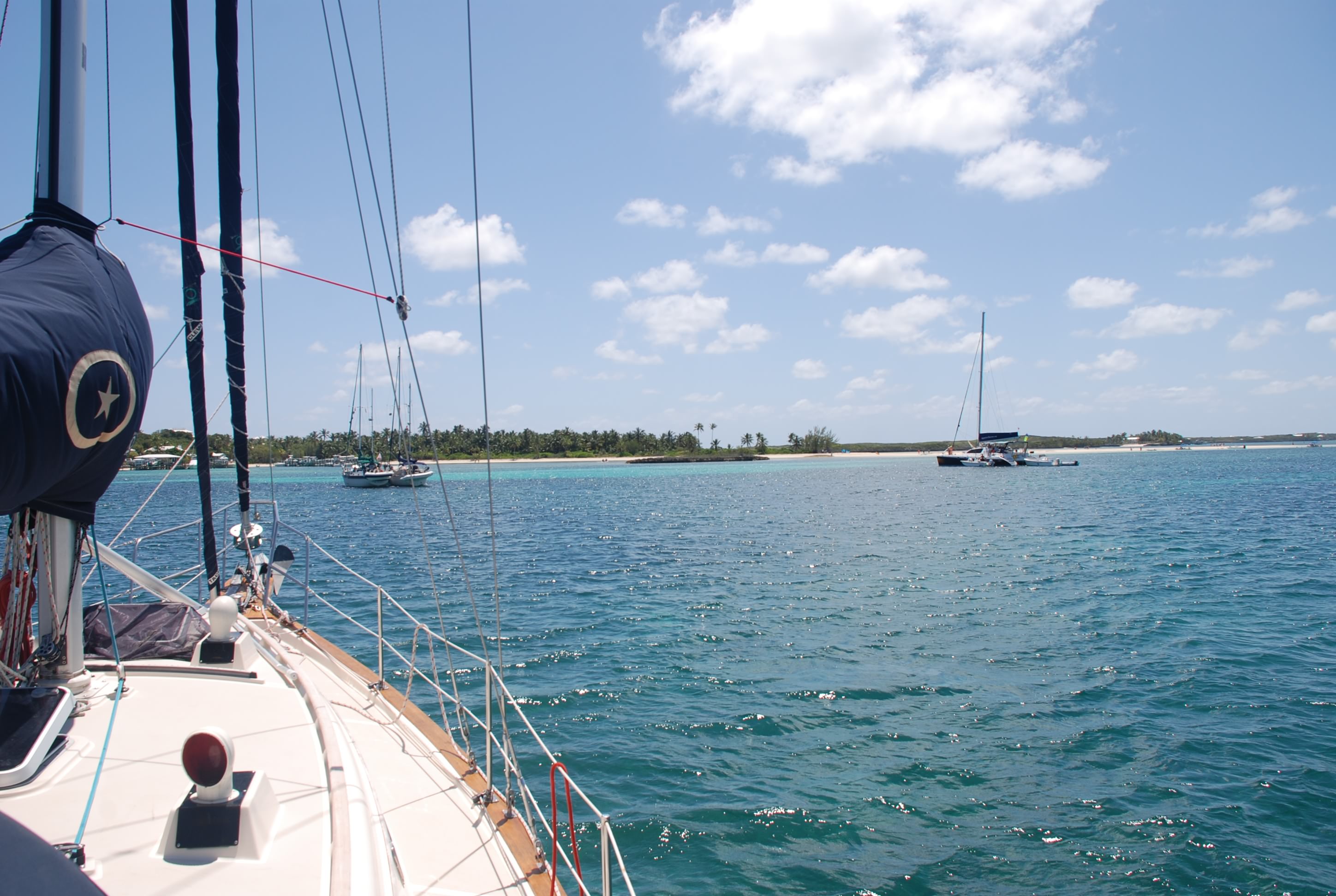
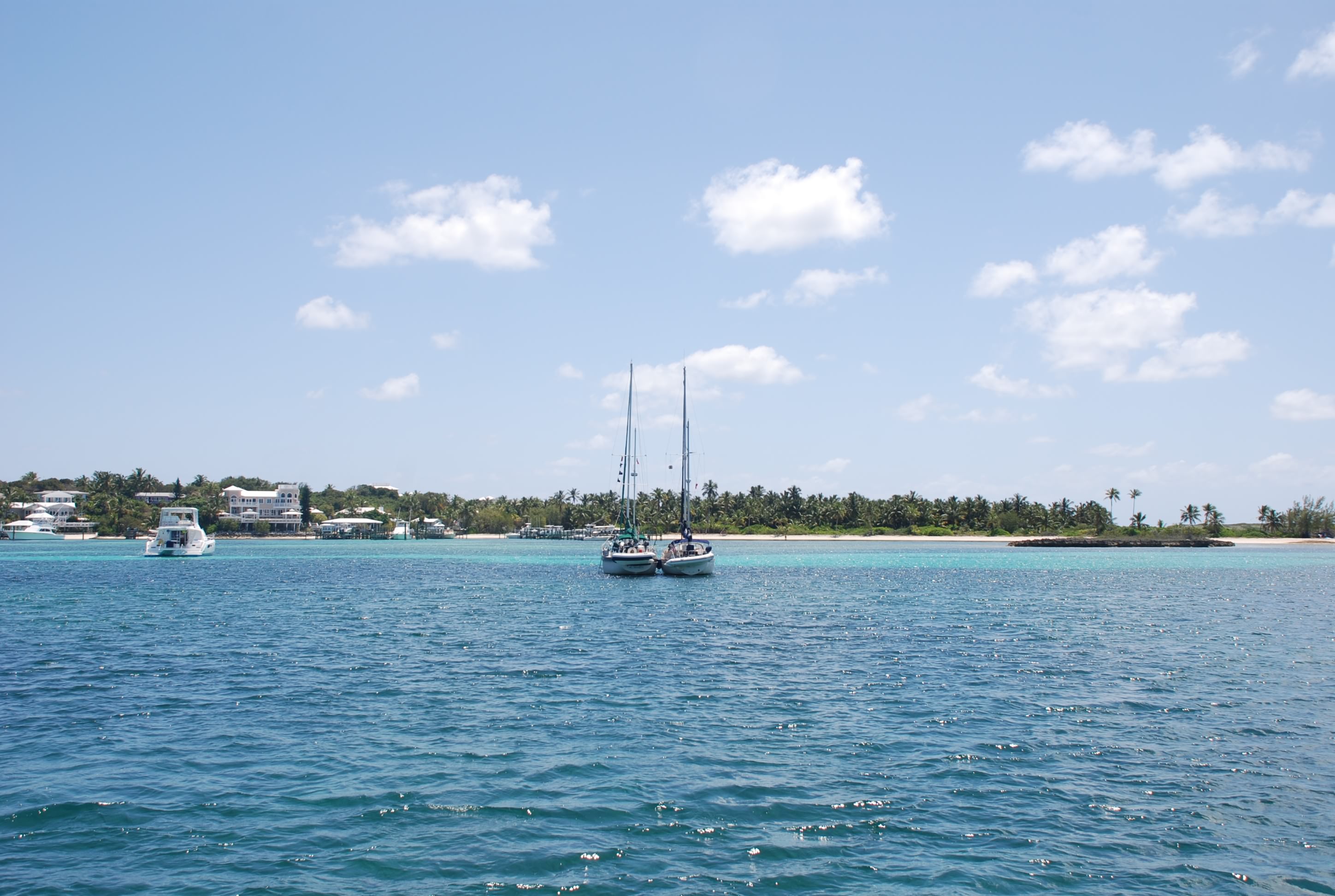
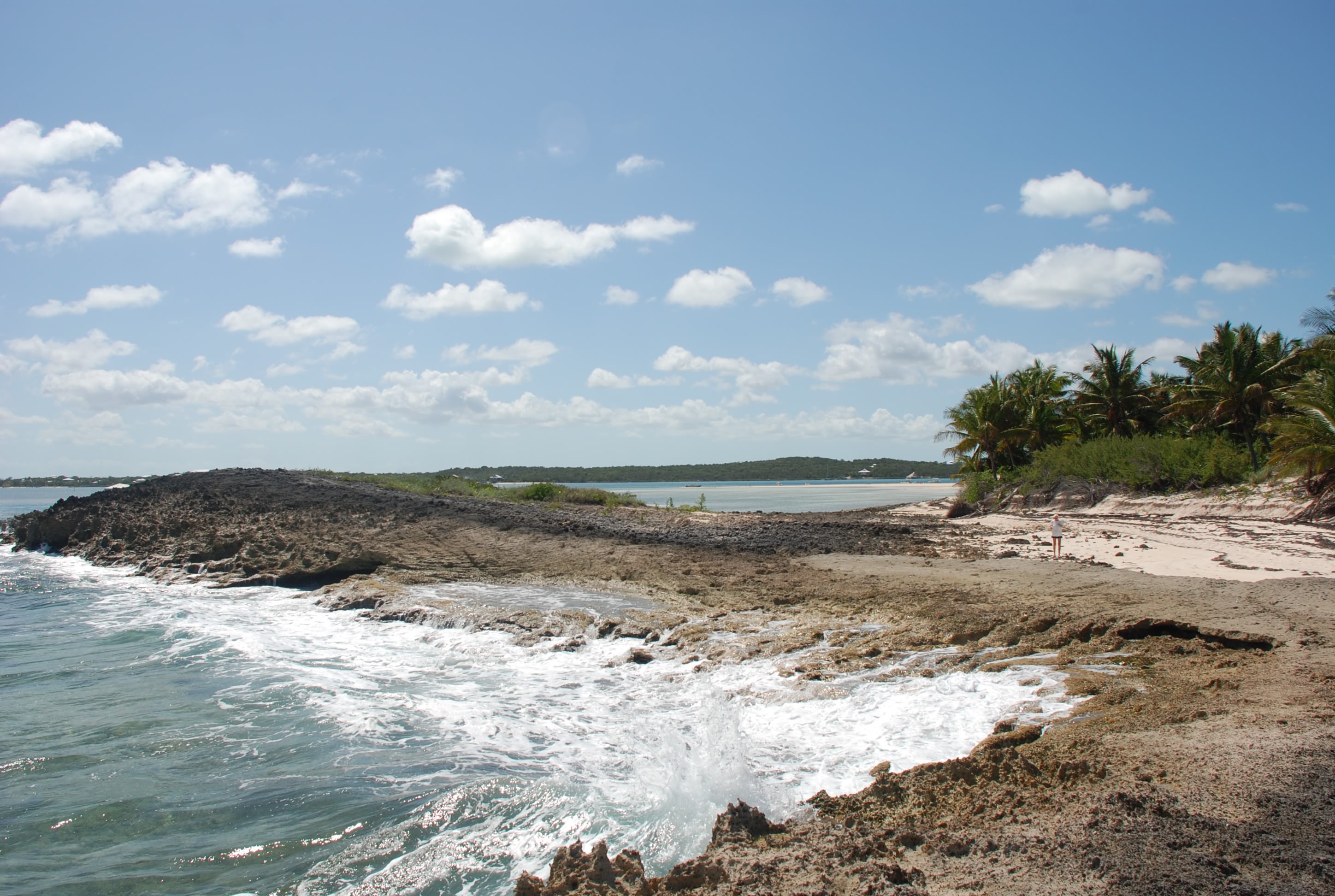
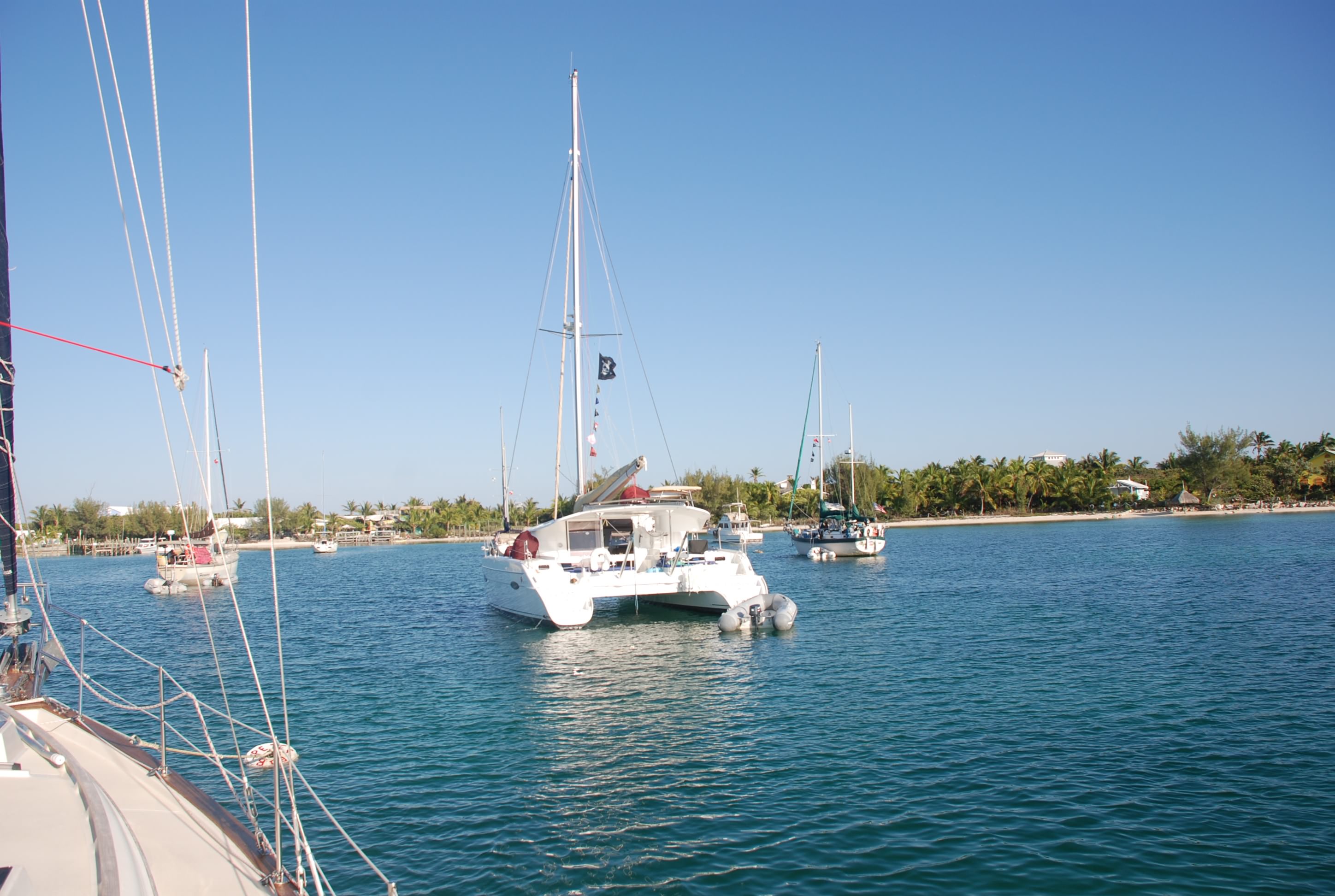
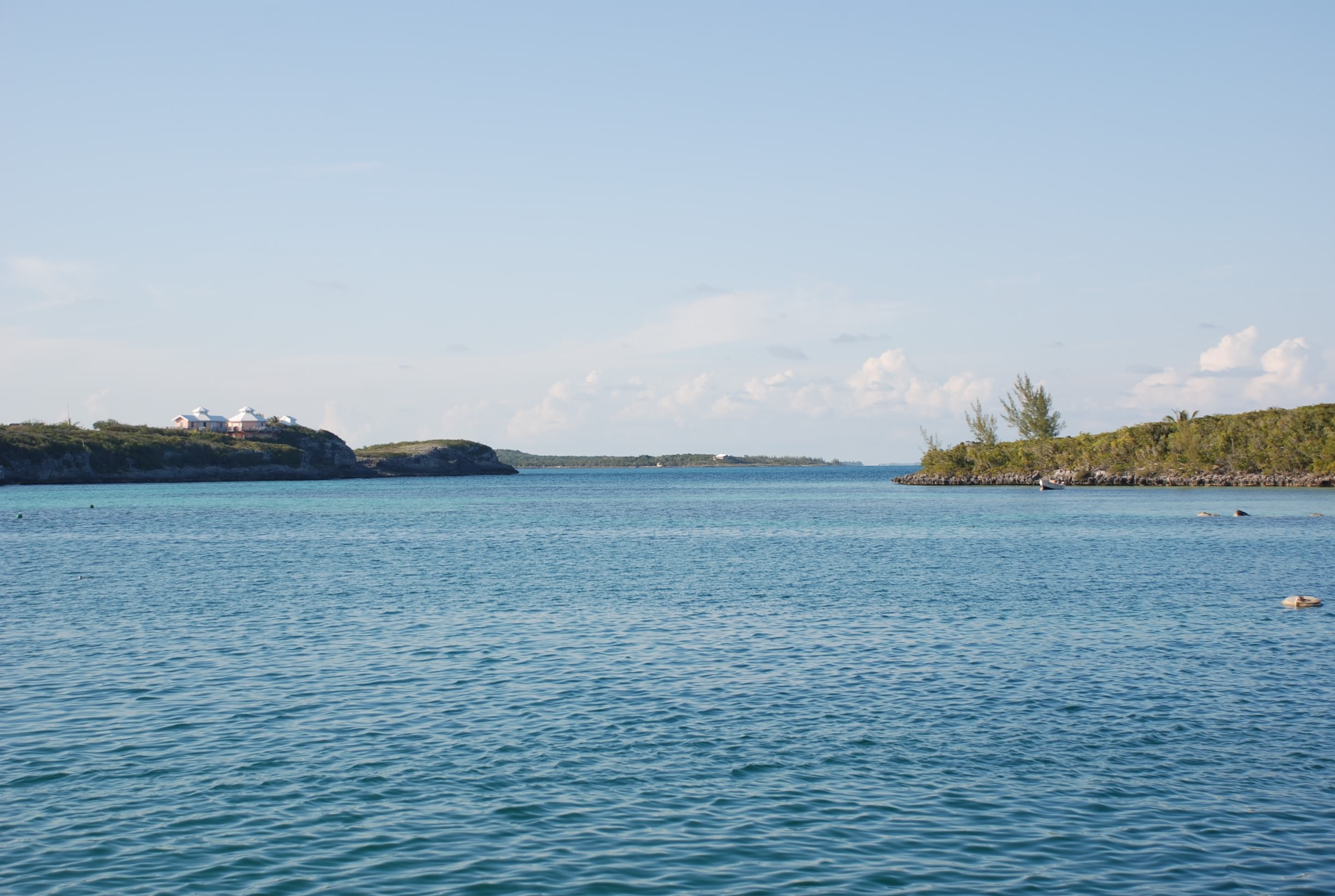
Treasure Cay is one of those places that everyone says is a “must see” when traveling the Abacos. They reportedly have one of the nicest beaches in the world. We spent 2 days there anchored out in the harbor. It is well protected and the holding was pretty good, but it is a crowded anchorage. We had fun watching the boats come in and try to anchor, some getting it done in one try, and others taking 7 or 8 tries.

Anchoring can be a very difficult chore. Depending on the sea bottom, one type of anchor works better than others, so you need to carry several types and know which one to pick. Then you have to let your anchor chain out in stages so that it doesn’t pile up and keep the anchor from setting properly. Then you have to have the right amount of chain out to insure you pull the anchor into the seabed at the proper angle to make it set. This depends on the wind conditions and the depth of water.

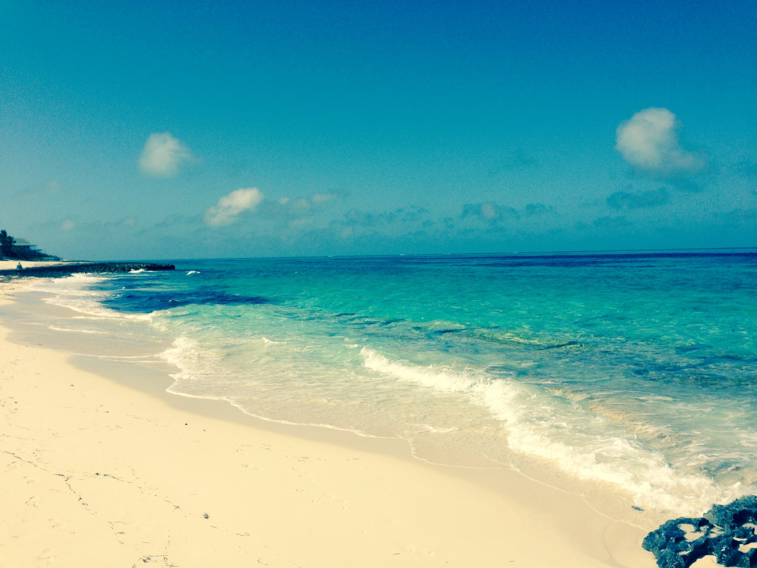
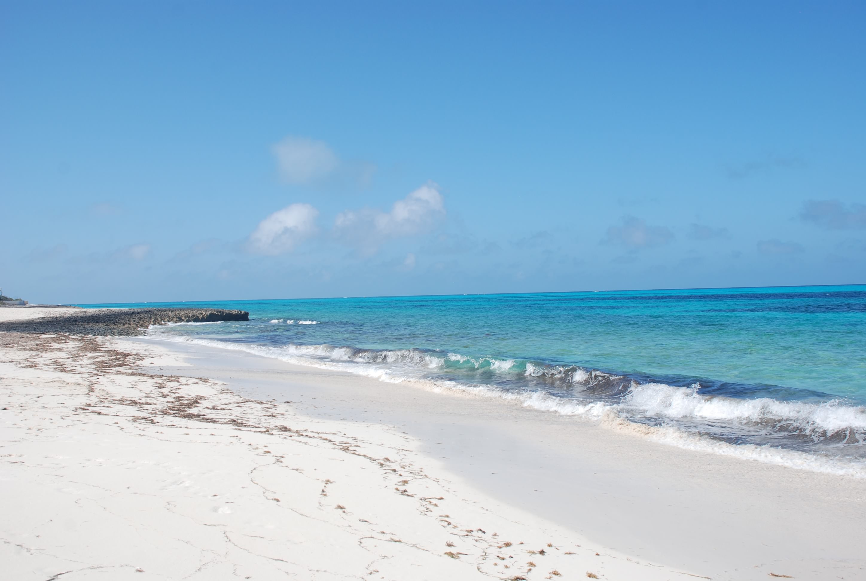
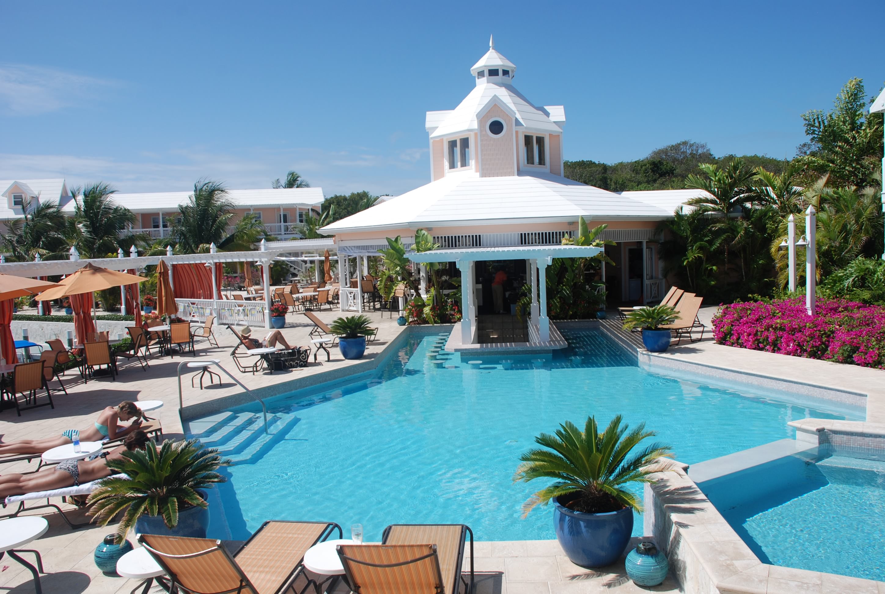
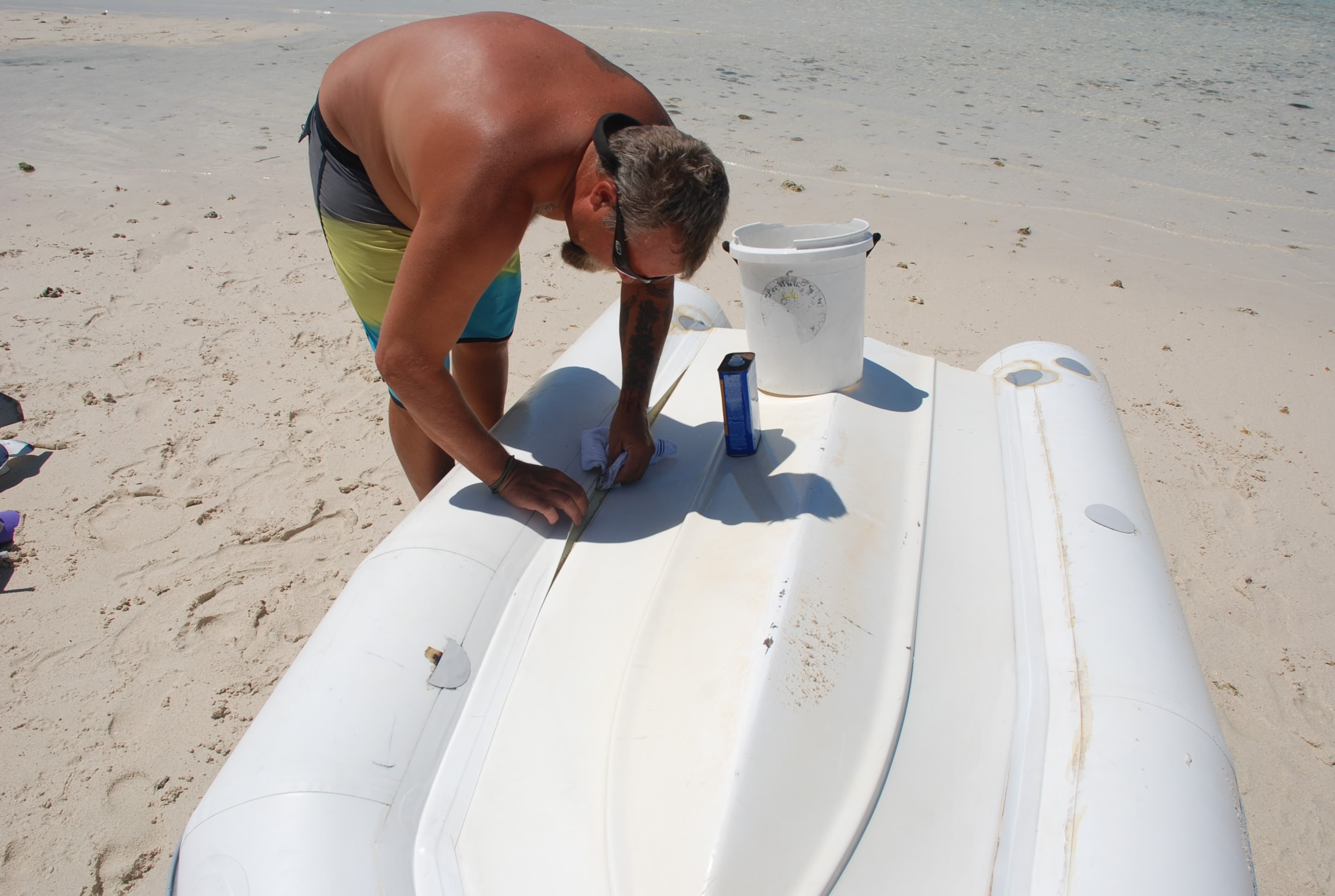
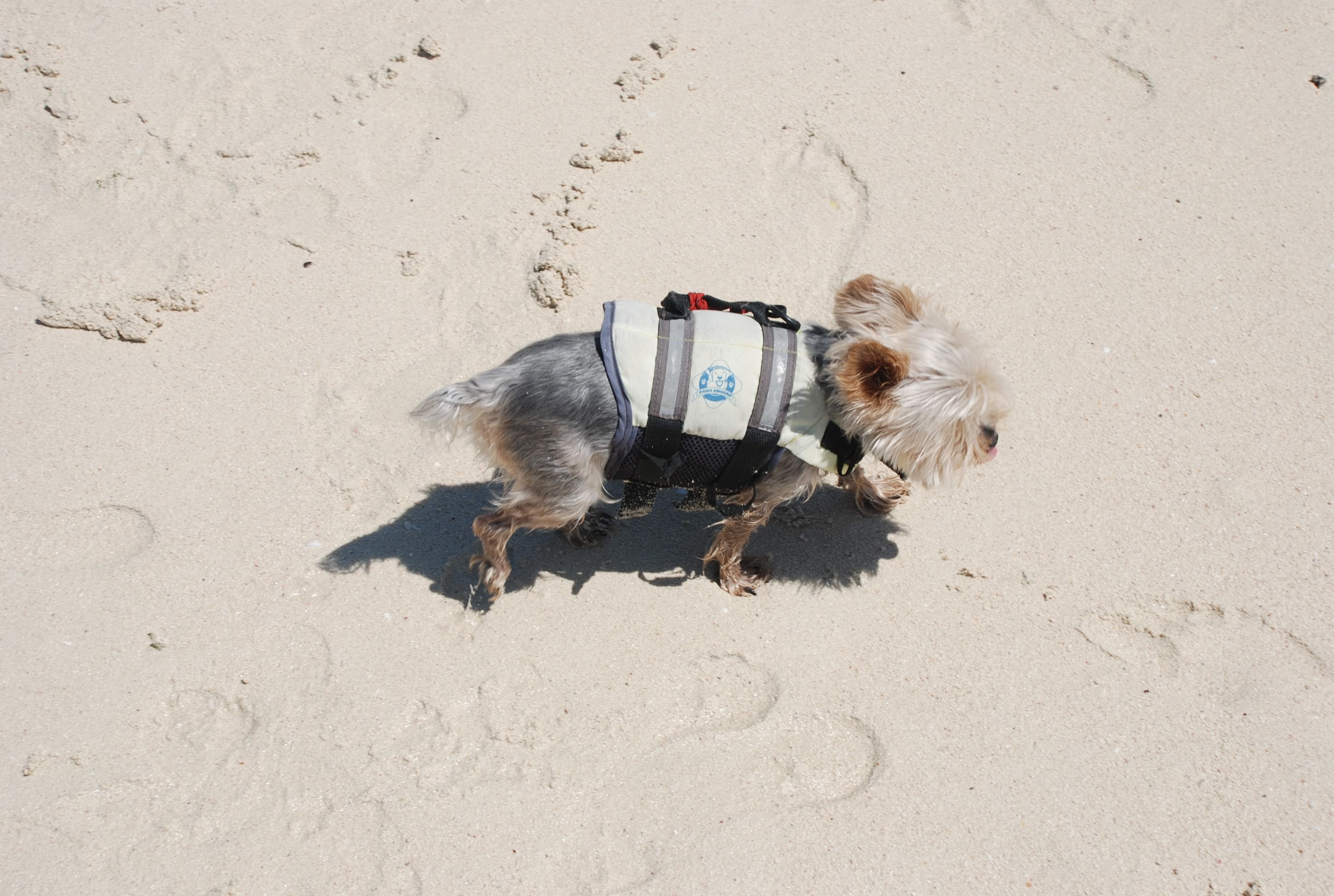
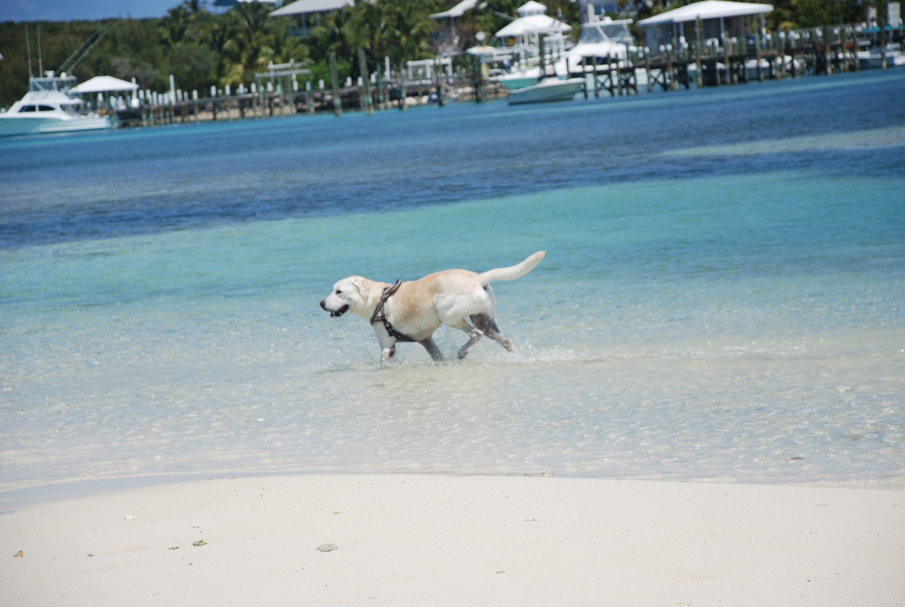
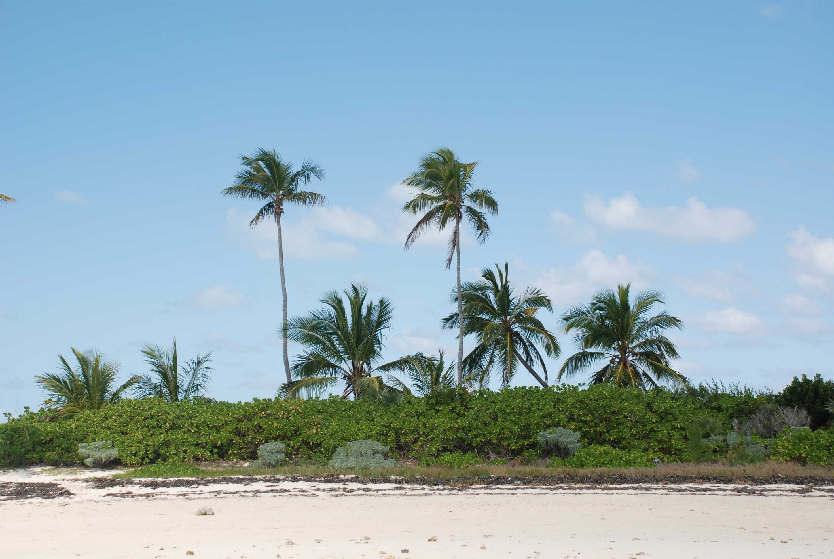
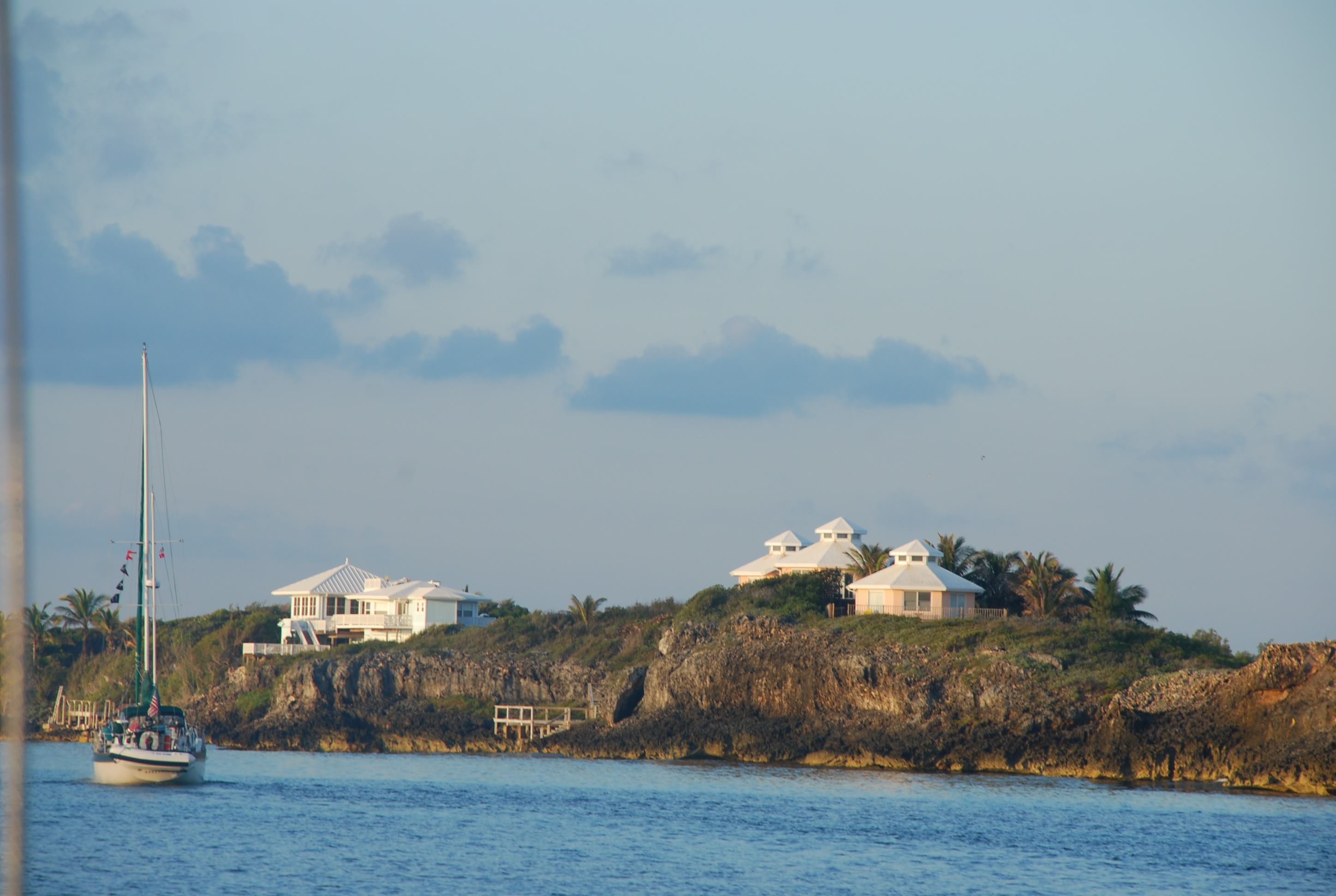
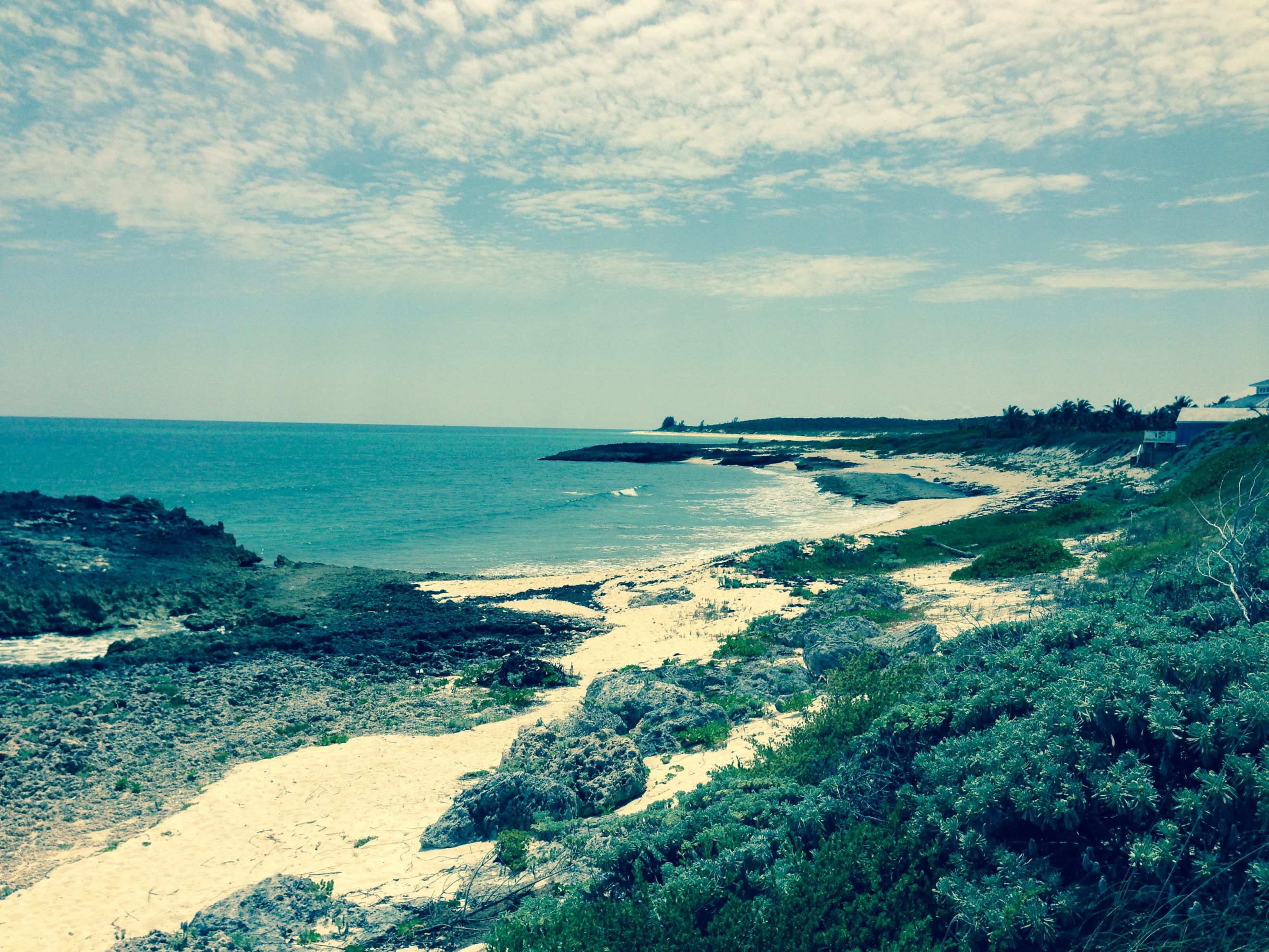
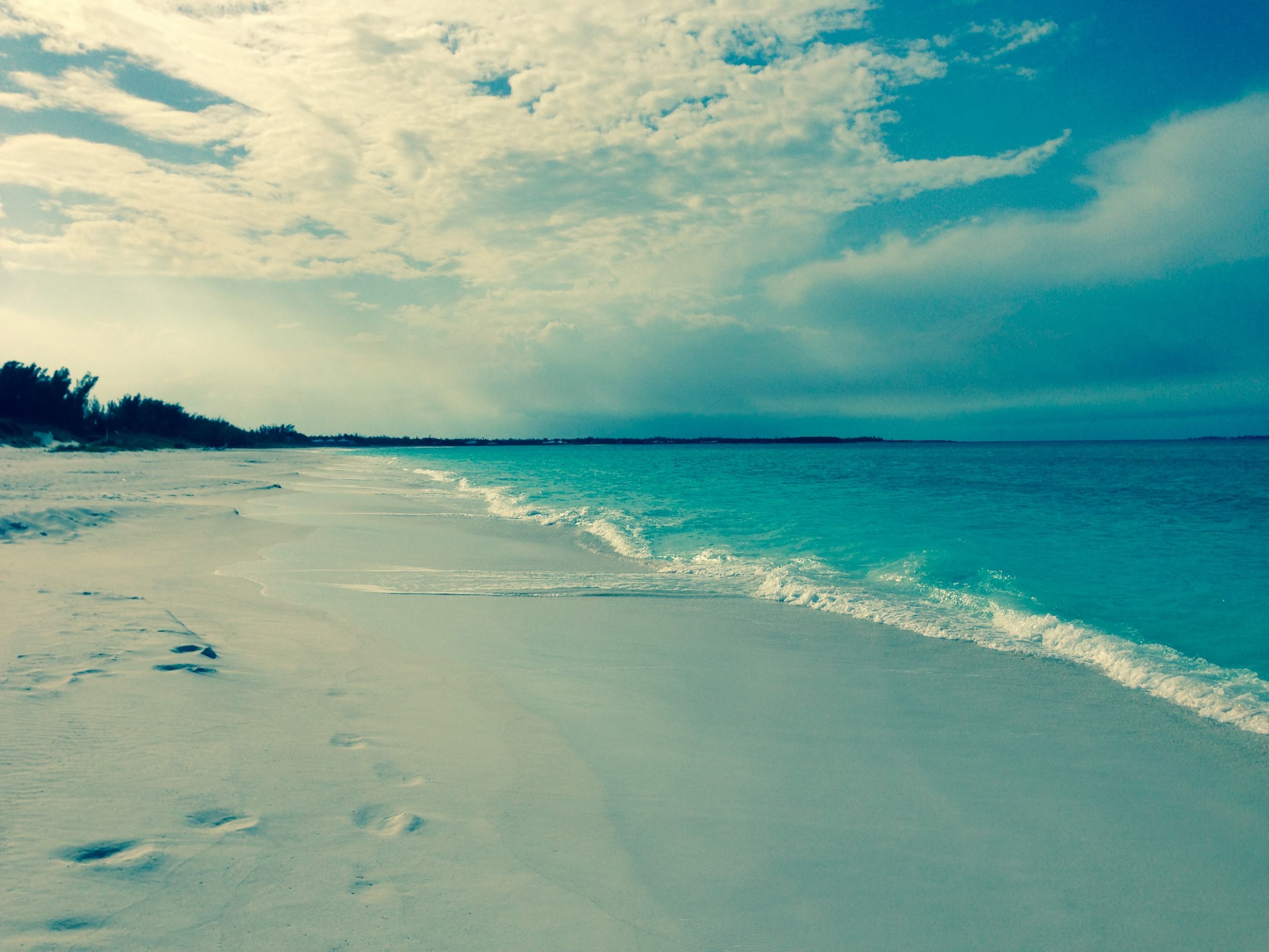
Fortunately, ours set the first time and we set out to check out the nice pool at the marina, and also do some wallowing on the beach. The beach was really nice, but not as nice as the one we had at Great Harbour Cay in the Berry Islands. Here we are wallowing:
FullSizeRender 04 15 03
FullSizeRender 04 15 04

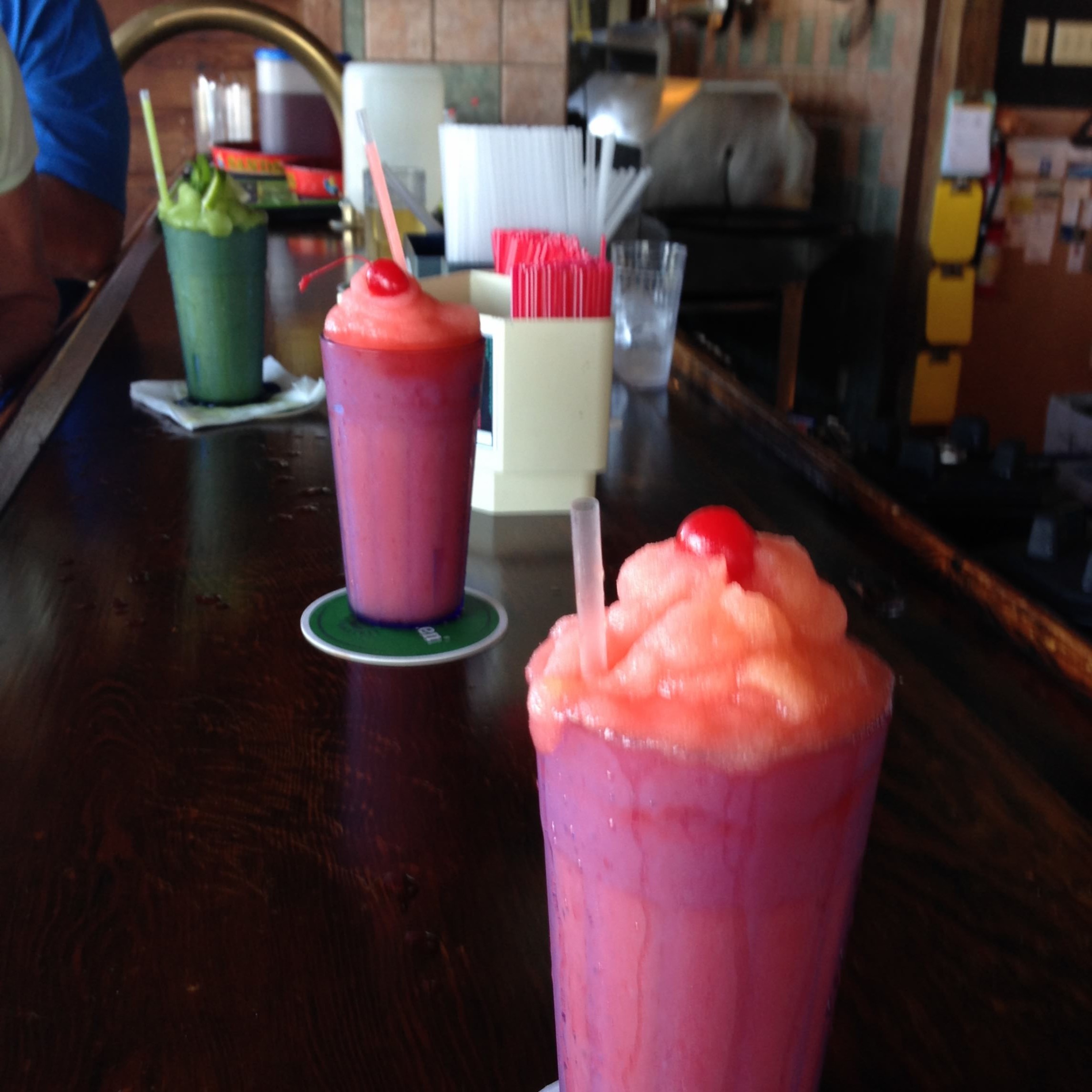
Kurt made some Skyline Chili the second night we were there. That was awesome! Been a long time since I had that.

Staying there a couple of days allowed me to finish our taxes and get them submitted. Yay, glad that is done. Despite being able to do it all remotely via internet, it was still a pain in the ass getting it done.

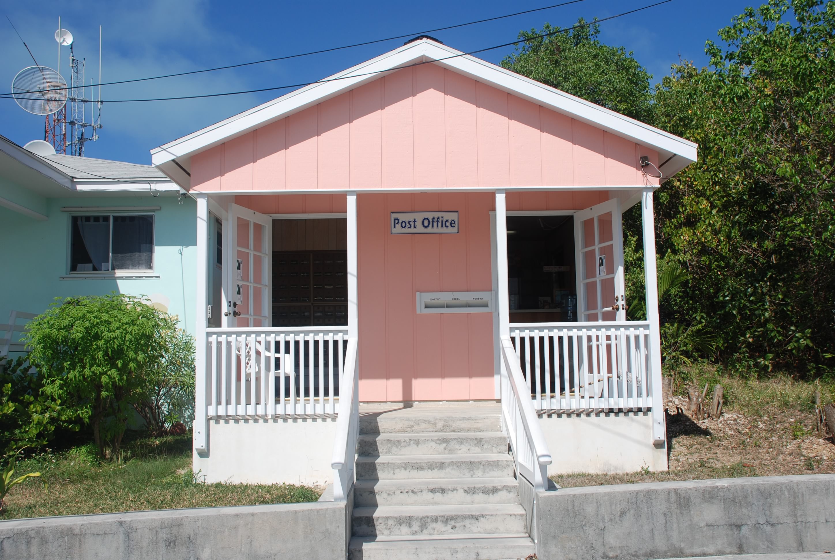
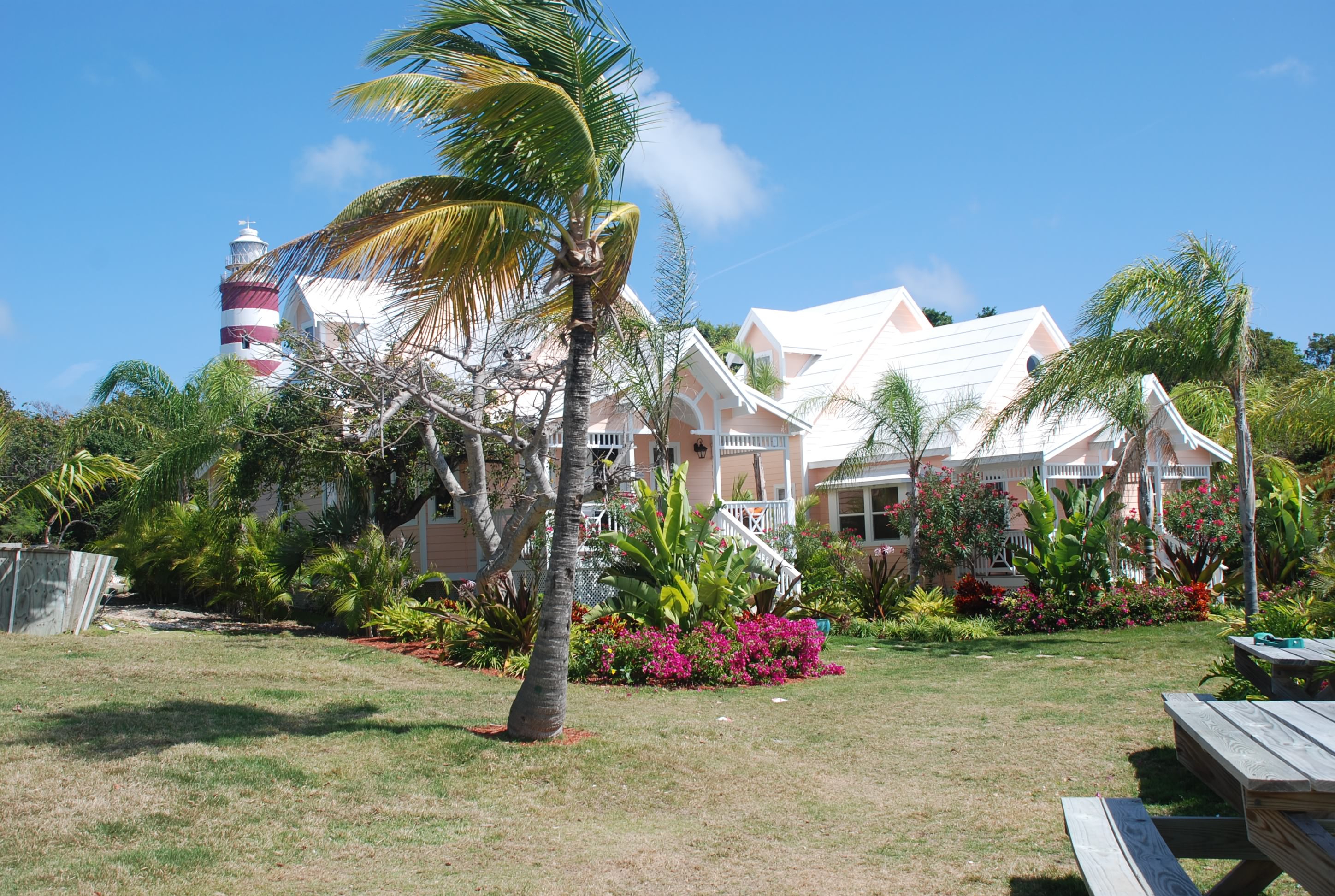
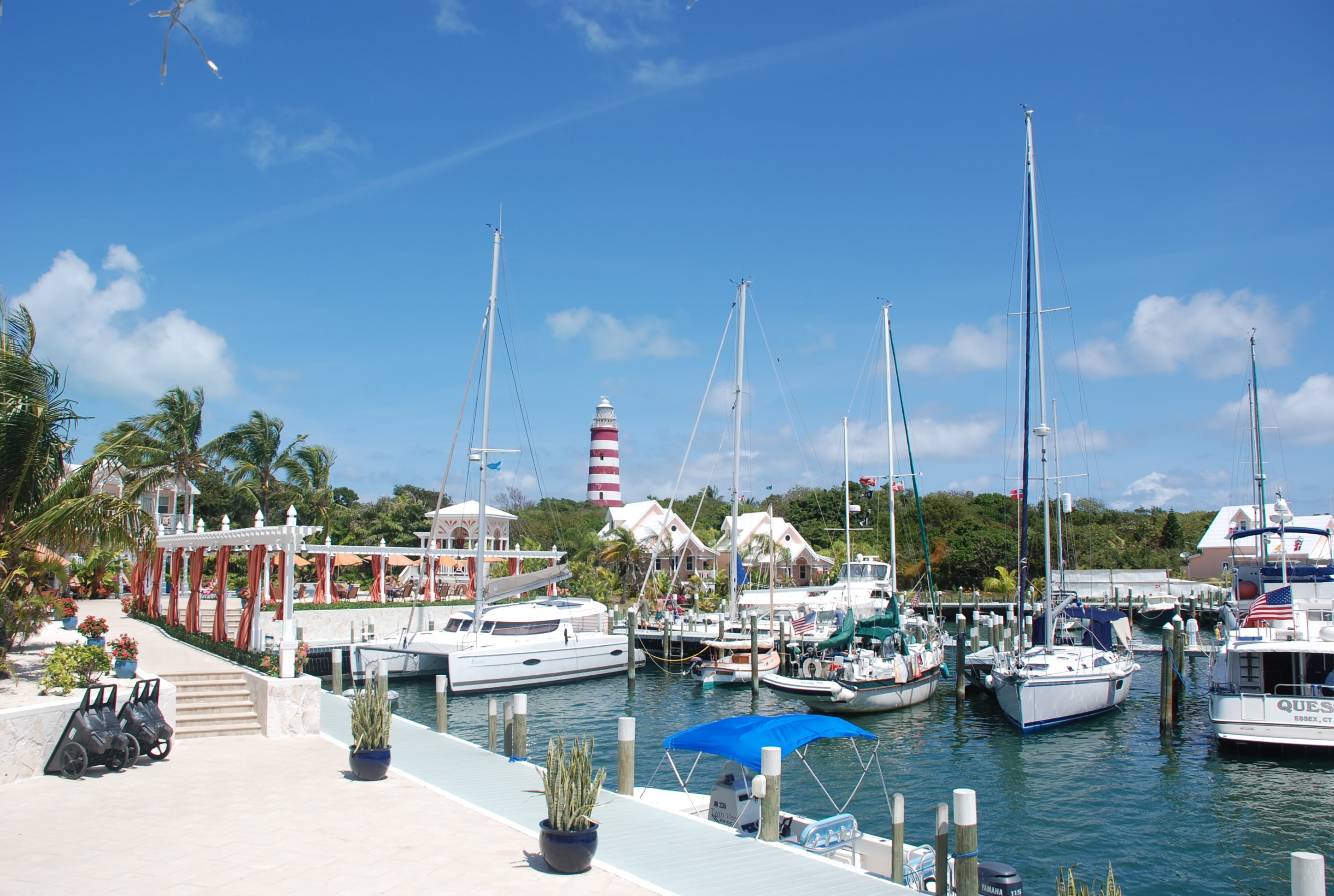
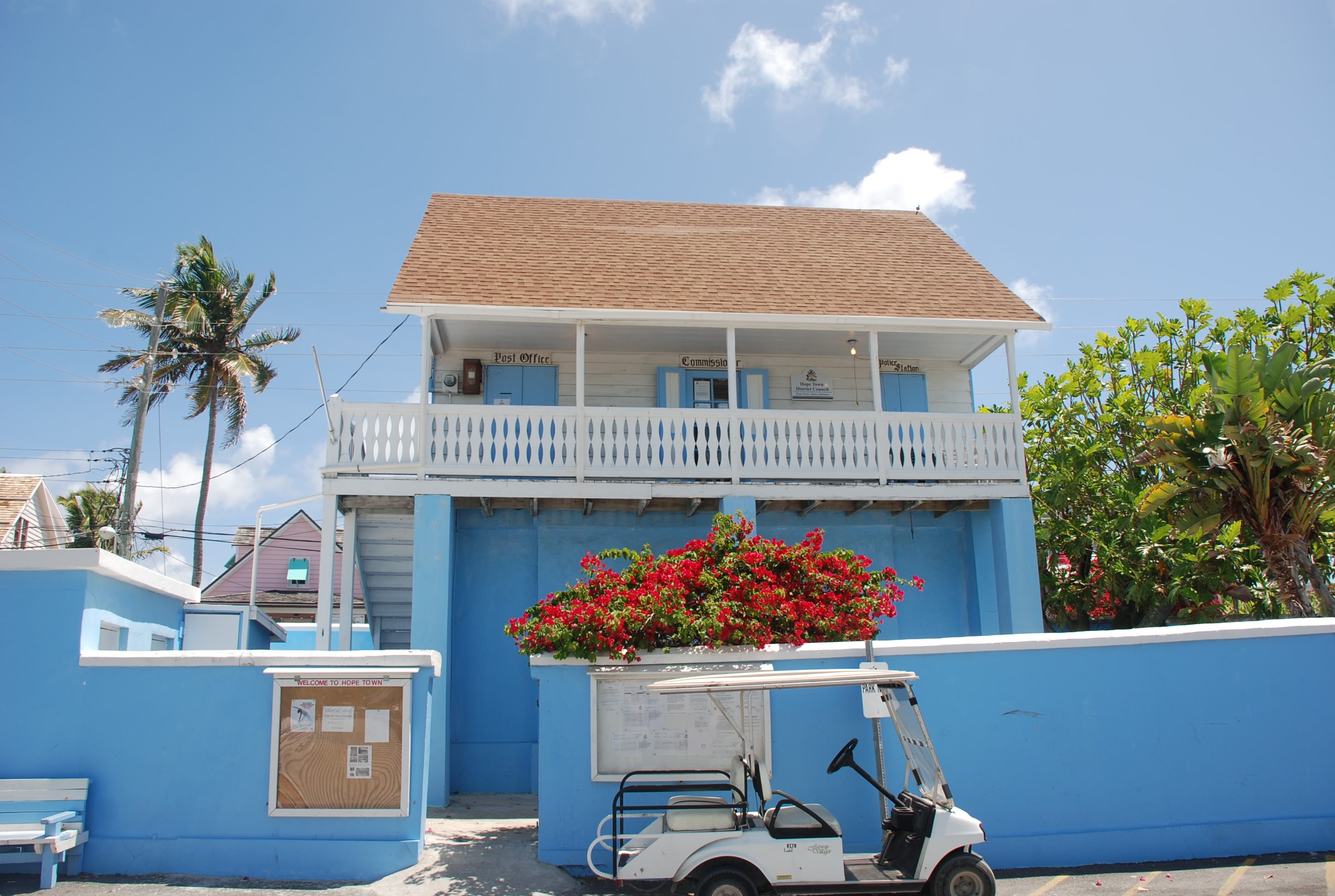
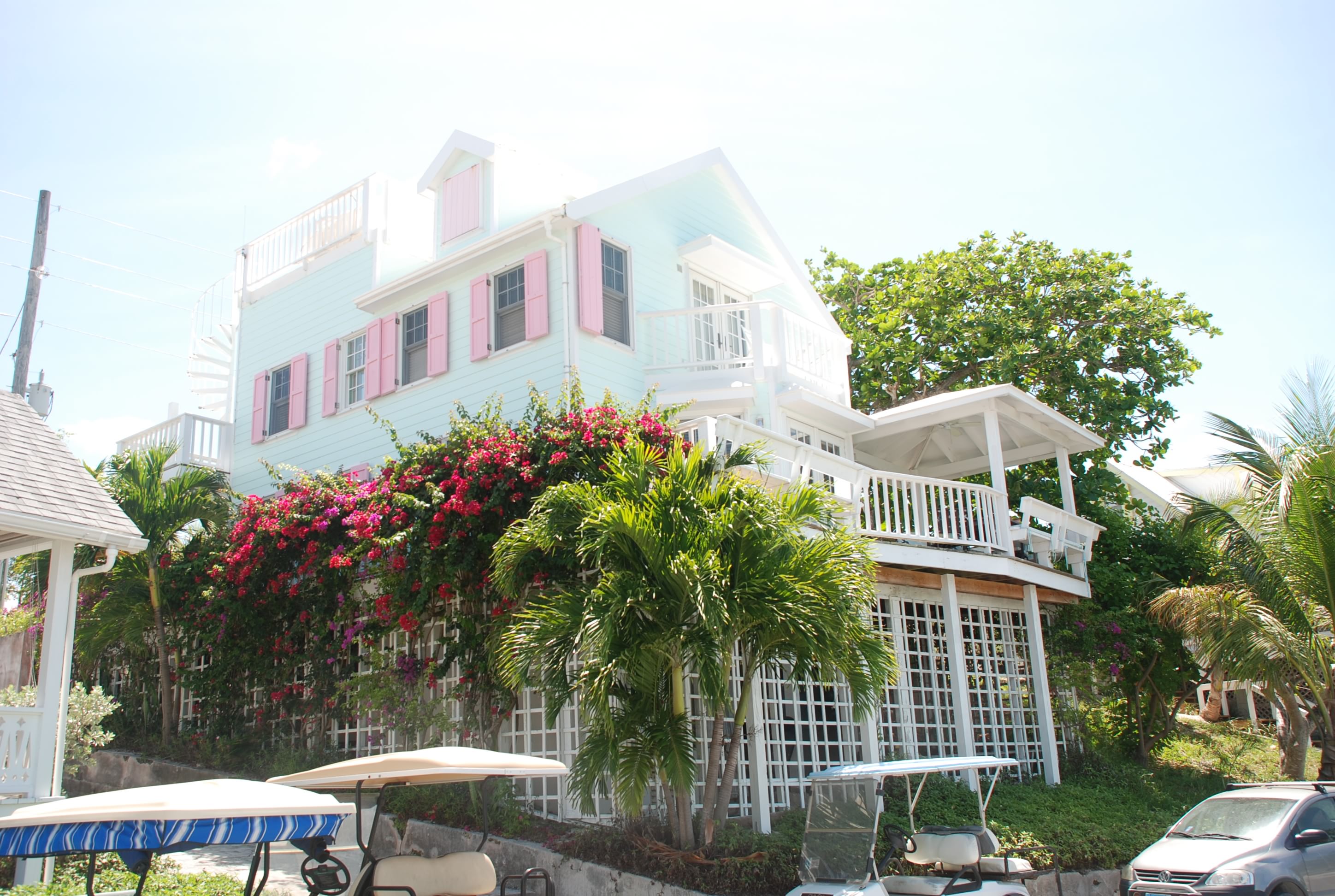
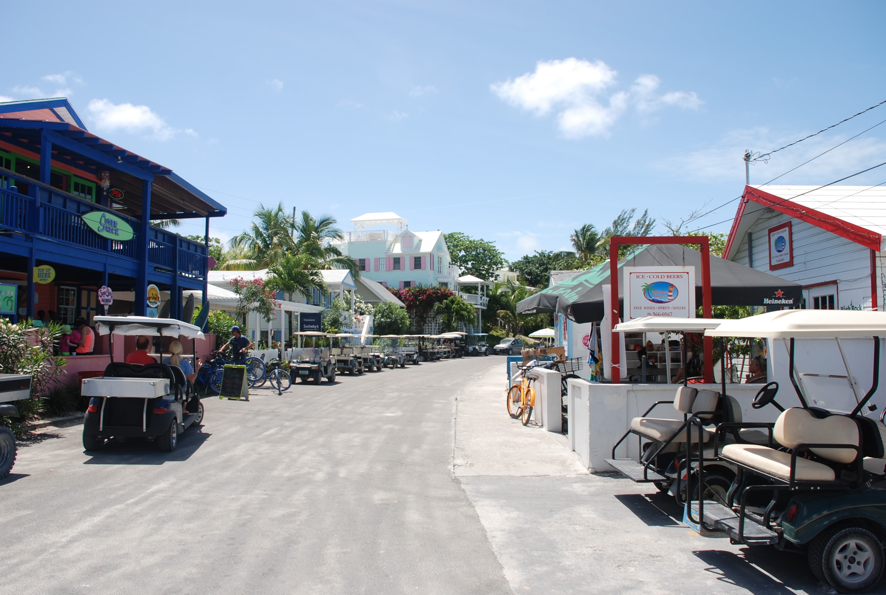
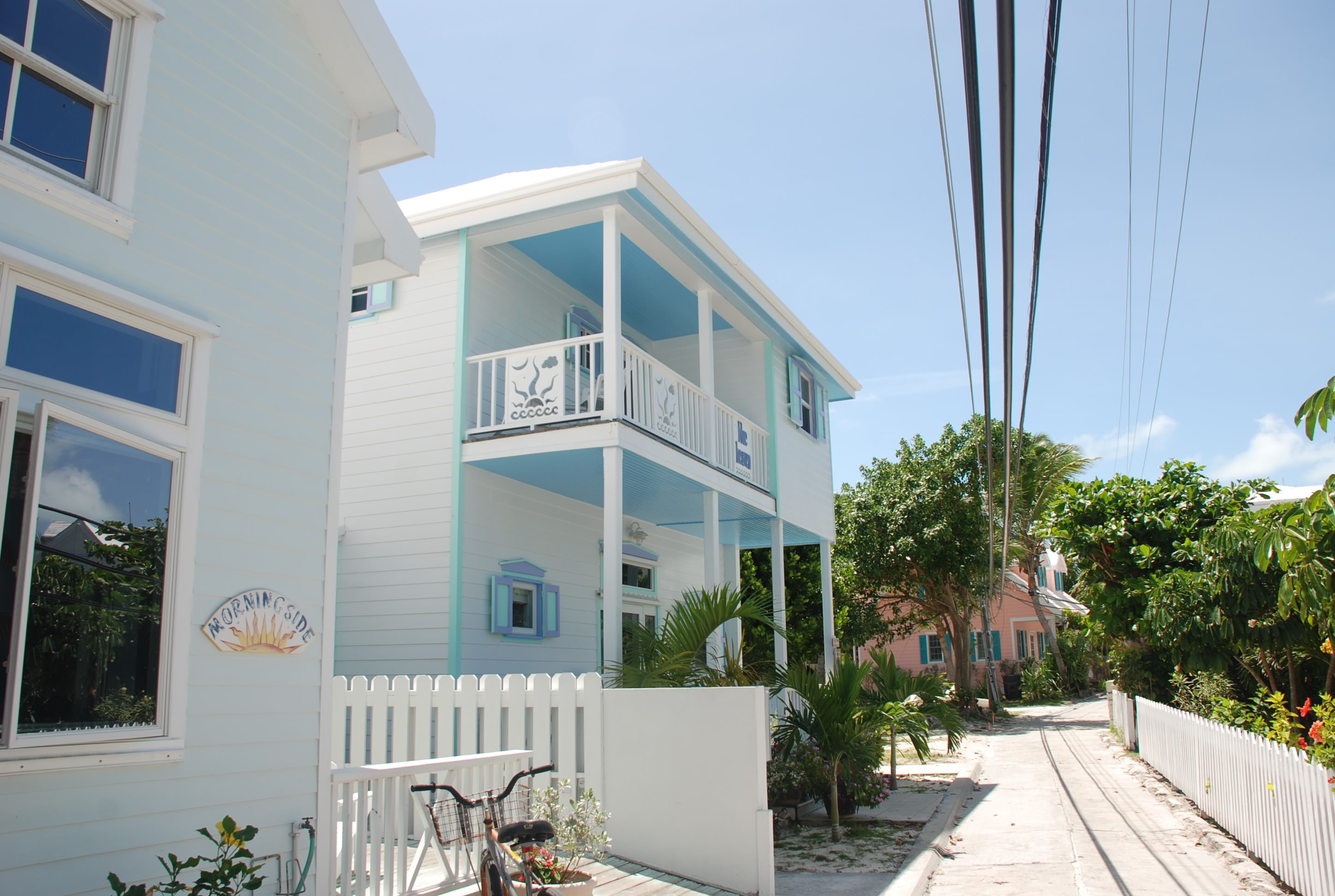
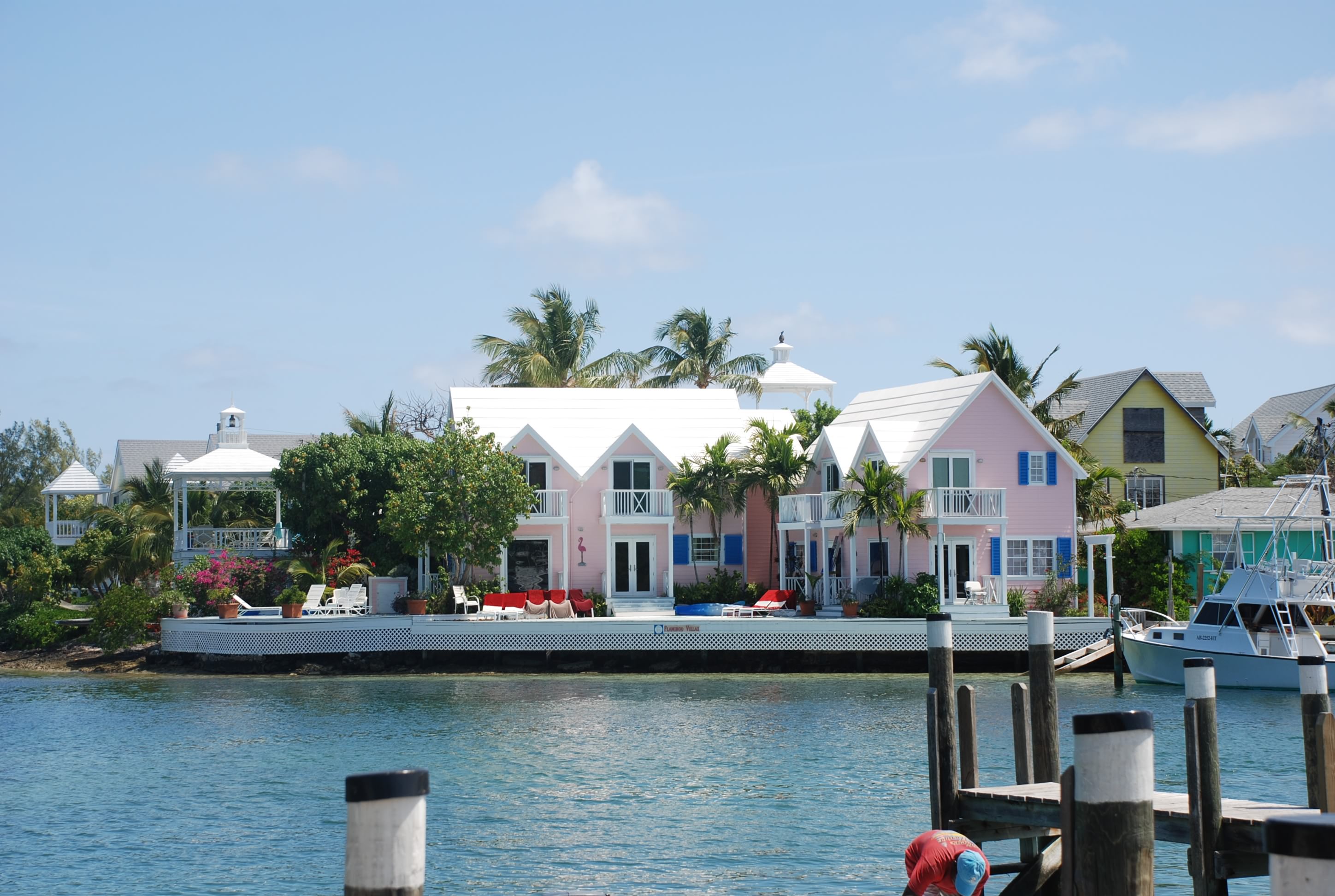
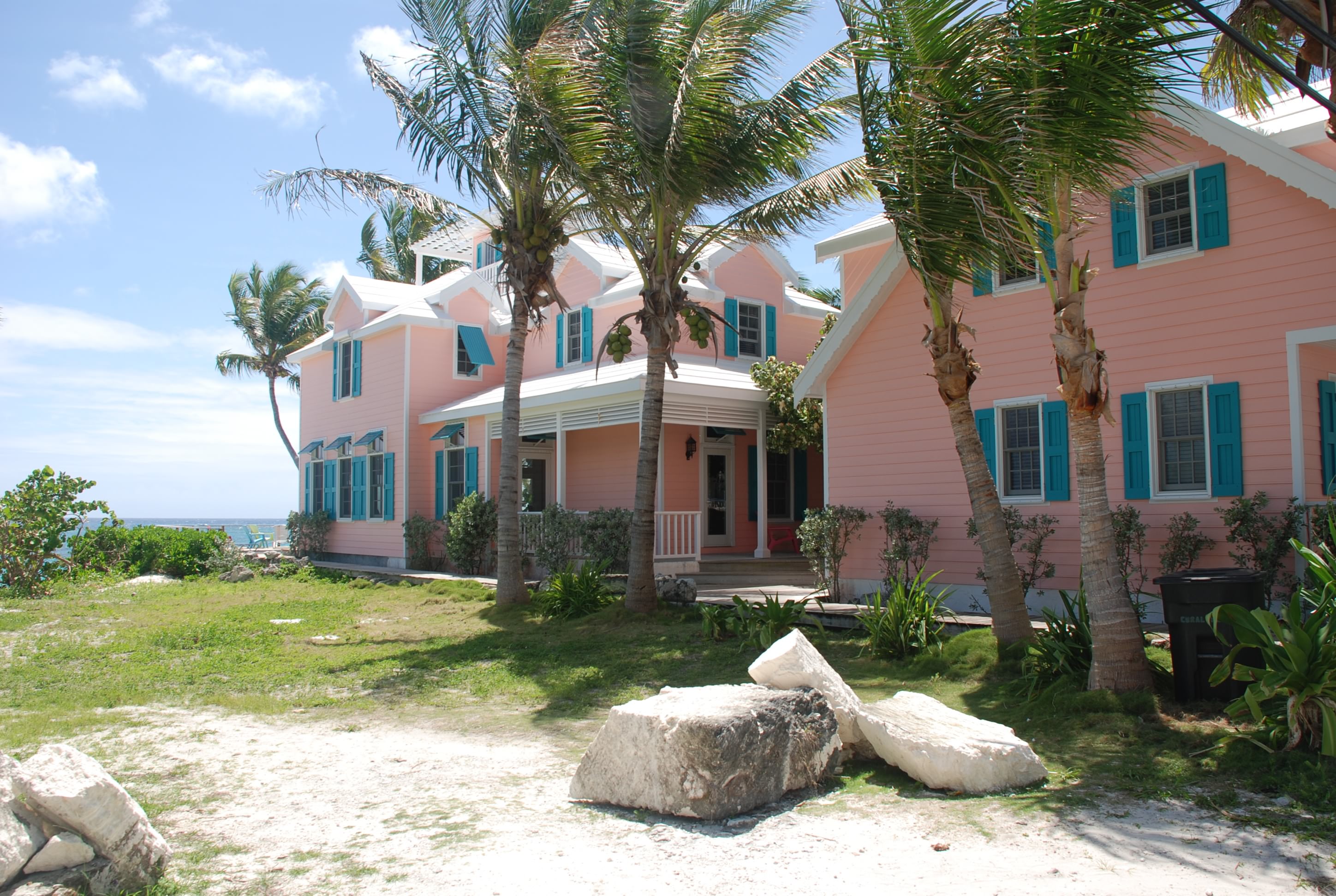
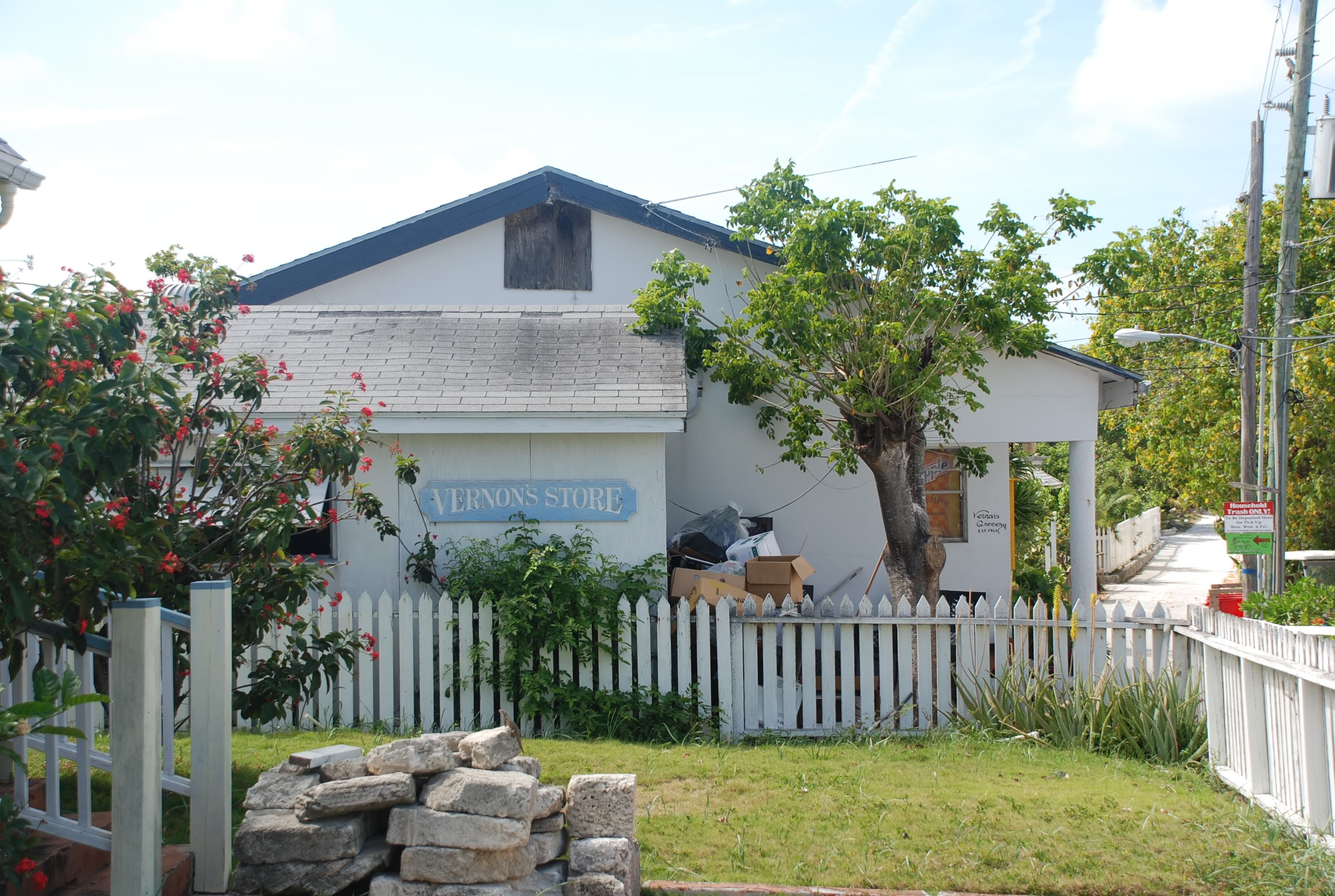
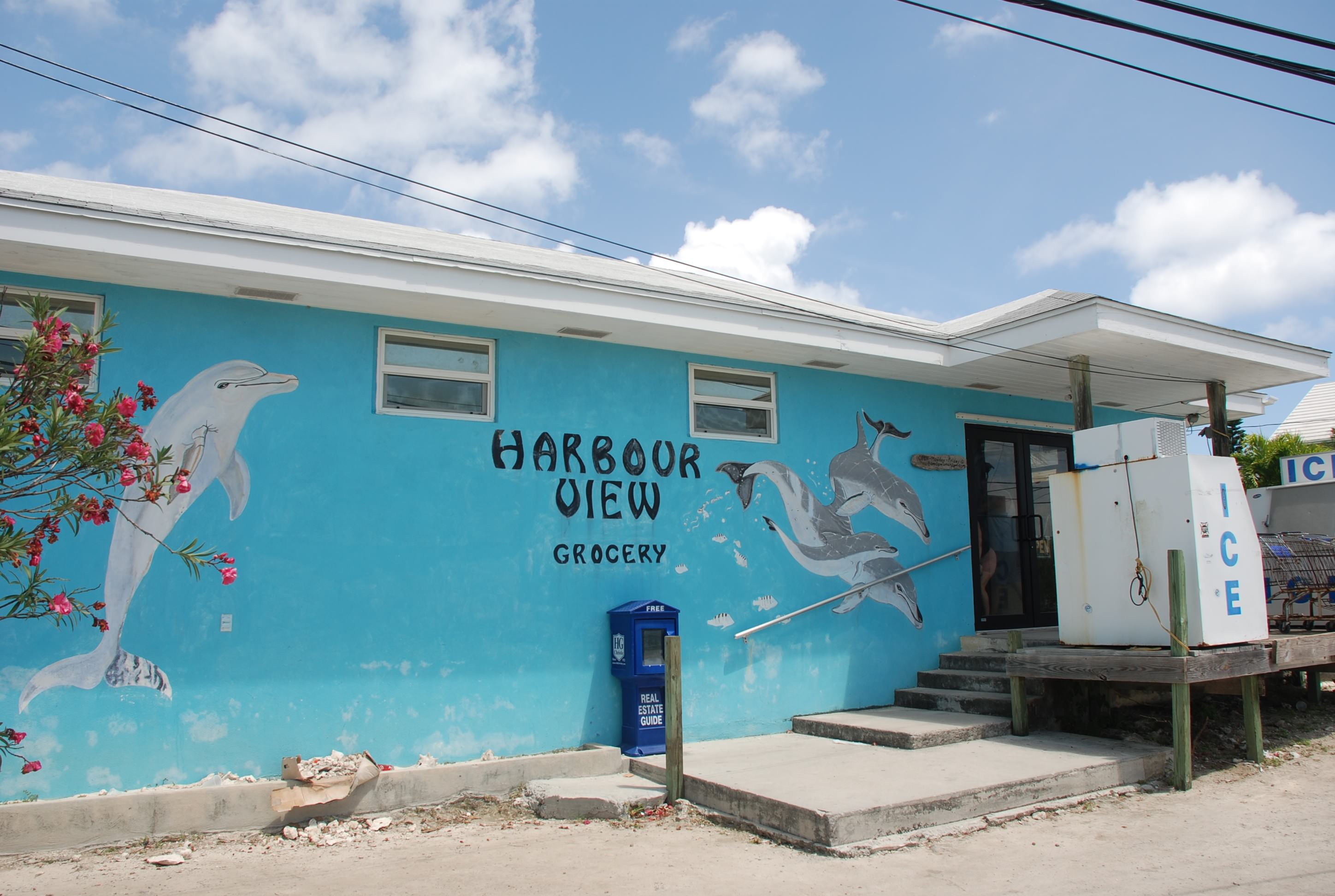
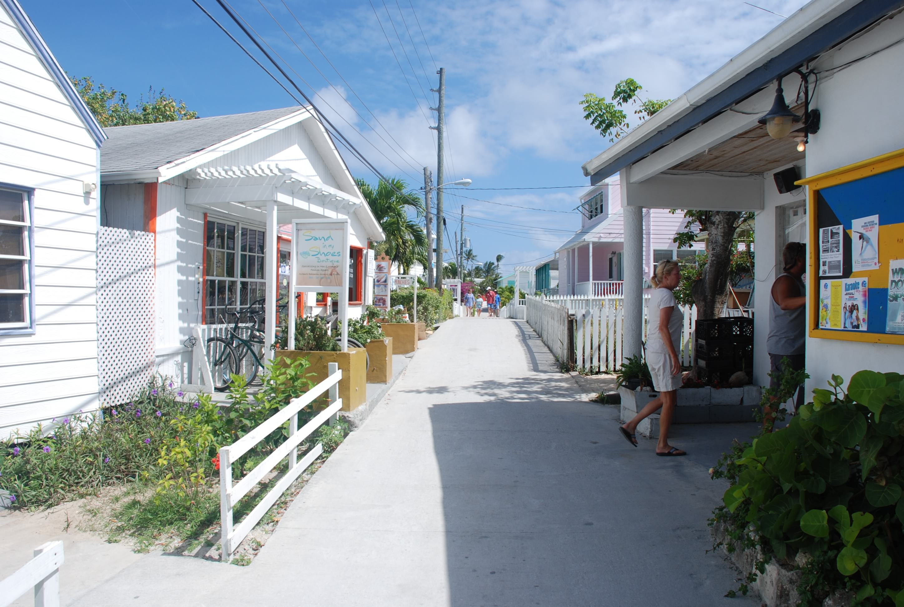
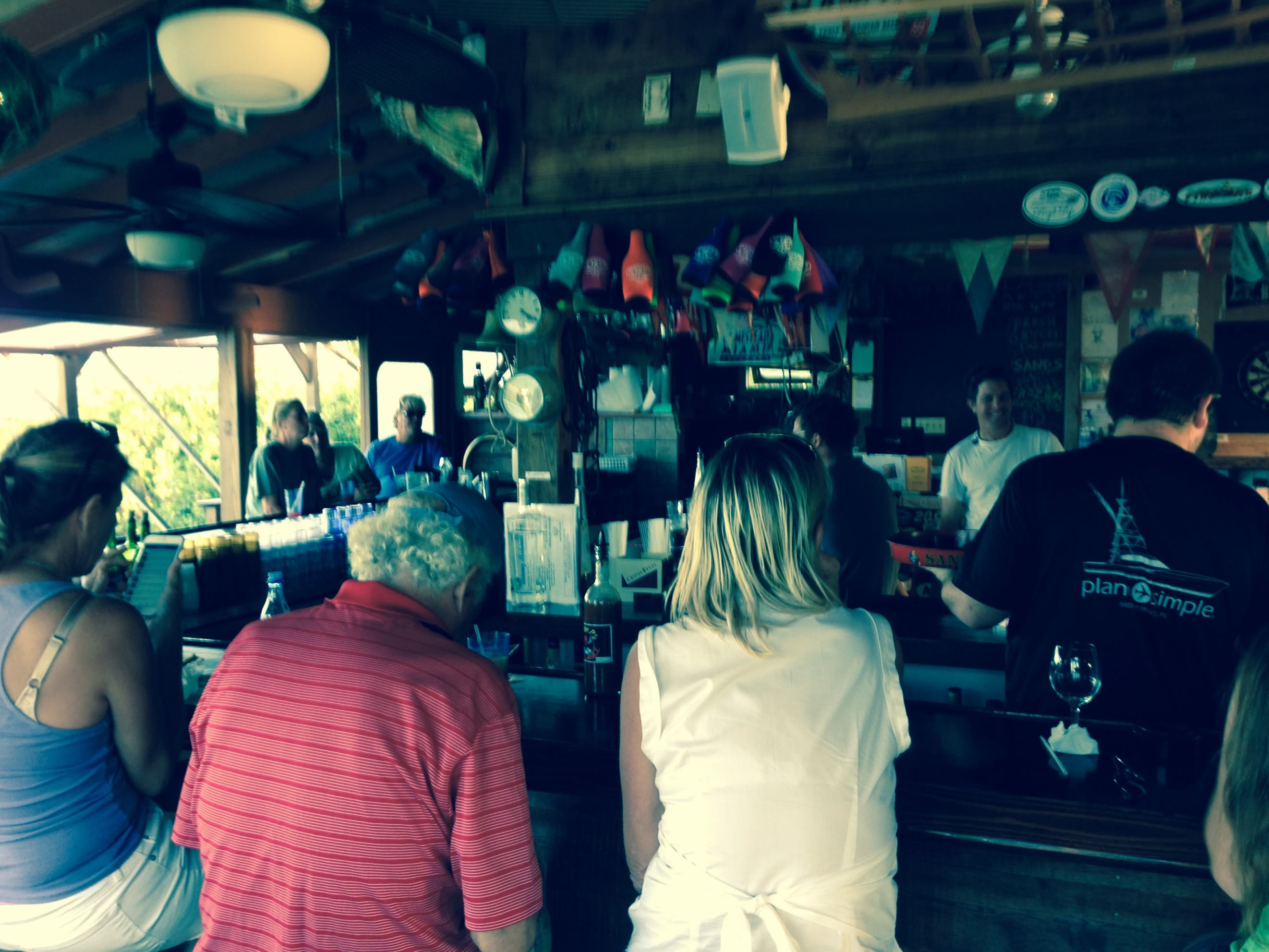
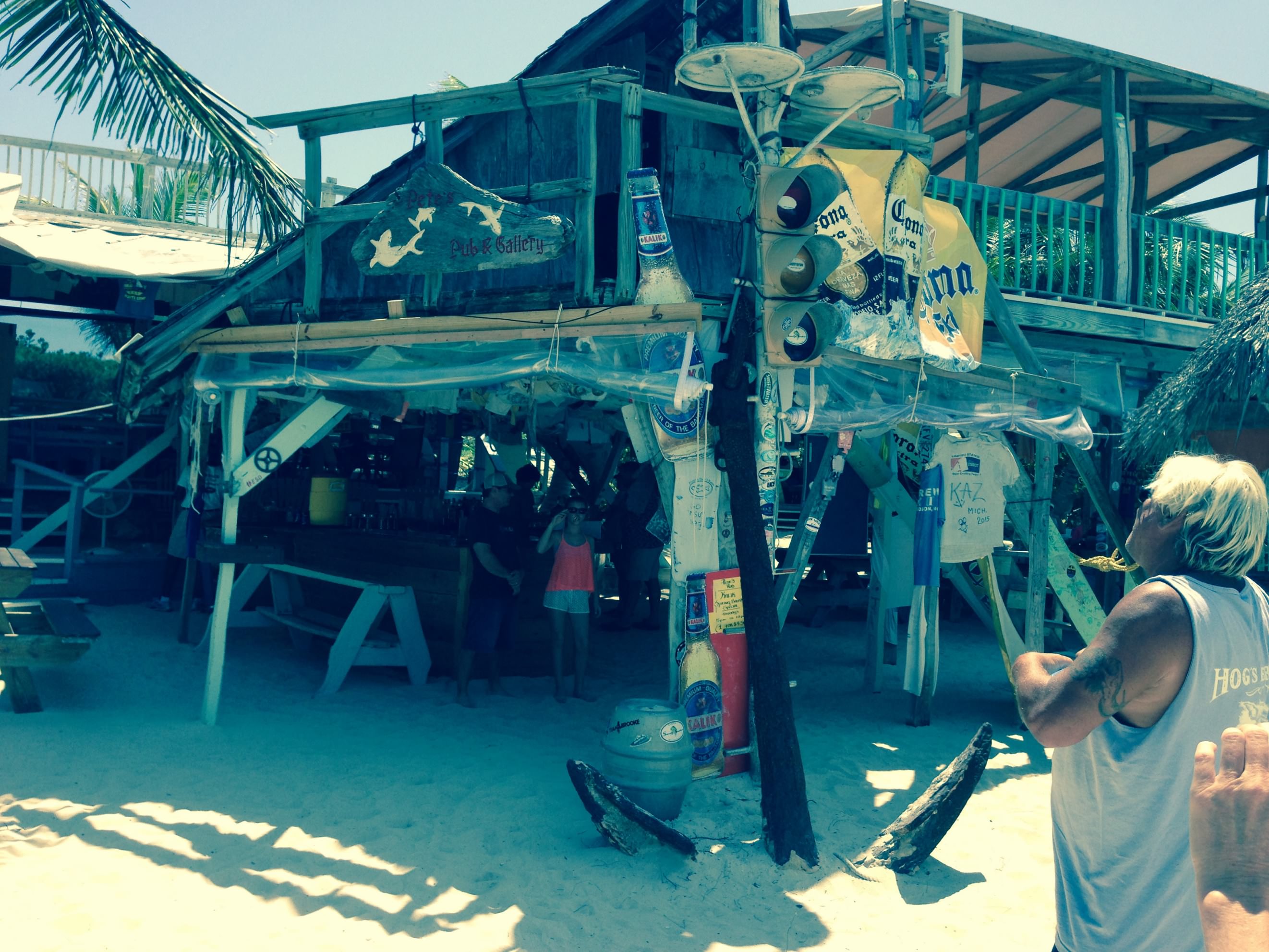
Other than the pool and the beach, there wasn’t a whole lot to do and see at Treasure Cay. They did have a row of small shops behind the marina where there was a liquor store, a well stocked grocery store, and other miscellaneous businesses. There are also several vacation rental units in the area that looked really nice. Something to consider if you can’t get there by boat.

The main reason we stayed a couple of days is that we were waiting for the perfect weather to cross the Whale. The Whale is the passage around Whale Cay that you have to take to get between the southern part and northern part of the Abacos. You go out into the Atlantic Ocean on one side the Whale Cay and come back in on the other. This is where the Atlantic meets the shallow waters of the Sea of Abaco, and high winds or a large NE or E swell can cause what is called a “rage” in the inlets. It is as bad as it sounds, believe me. Tomorrow looks like the perfect day to “do the Whale” so we will time the tides and make a run of it.

Great Guana Cay and Nippers!

4/11/15
Great Guana Cay, Abacos, Bahamas
Position: 26 39.885N, 077 06.693W
Posted by Bill

Great Guana is also one of the smaller cays in this part of the Abacos, but they have 2 bars that are pretty popular, Grabbers and Nippers. On Sundays, Nippers has a pork BBQ party, so we picked up the last 3 mooring balls in the harbor and stayed 2 nights for the party.

It was packed with people that came in on boats and the ferry. The party was fun, and we drank rum all day. Not good for the budget though! There is also a beautiful beach at Nippers.
FullSizeRender 04 15 02
FullSizeRender 04 15 01

Man-O-War Cay

4/10/15
Man-O-War Cay, Abacos, Bahamas
Position: 26 35.398N, 077 00.077W
Posted by Bill

Man-O-War is a very small cay with a small population. It has a great protected harbor with a very narrow and shallow entrance. We used the tide to make it in and after poking around the harbor found mooring balls to tie to. They have really good repair facilities for most boats and also a boat building business here, Albury Brothers Yachts. They are center console power boats that have a great reputation:
DSC_0134
DSC_0133

The cay is well kept, no garbage, and the houses are nicely maintained. There are concrete streets that are wide enough for a golf cart, which is the primary mode of transportation. This is pretty typical throughout the Bahamas. Pics:
DSC_0147
DSC_0143
Banana trees:
DSC_0148
A gorgeous beach on the Atlantic side:
DSC_0155
Check out the name of this house that was on the beach:
DSC_0158

It was a pretty place, but not much going on there. It is also a dry cay, so no bars or liquor stores. Needless to say…we only stayed one day…lol!

Marsh Harbour

4/9/15
Marsh Harbour, Abacos, Bahamas
Position: 26 32.868N, 077 03.141W
Posted by Bill

(Sorry folks that I haven’t been able to update the blog for awhile. We have had really crappy internet access until we got to Green Turtle Cay, so these are catch up posts.)

We motored to Marsh Harbour from Hopetown. Marsh Harbour is a “real city” in Bahamanian terms. They even have a traffic light. It is not as picturesque as the places we have been to so far, but there is a major grocery store called Maxwell’s. It is pretty much the same as a grocery store in the states, except the prices are typically 15% higher. We stocked up and then hit the bank for cash, and the liquor store. They have a couple of big liquor stores too. Great place to provision for the trip heading back to the US.

We docked a couple of nights at the Moorings charter base, which was a pretty nice marina. The first night we went to rib night at The Jib Room across from our marina. This is a very popular spot that only does dinner 2 nights a week. One is rib night and the other is steak night. It is very well attended and they give you a mountain of food. The ribs were outstanding, and they have a rum punch that has been the best so far…the Bilge Burner! Here is the dinghy dock packed with visitors:
10730916_876412979084306_4459856860979388947_n
At rib night we ran into our friends Hayden and Radeen on Island Spirit. After dinner we watched Desmond do the limbo. He is amazing:
IMG_1507 04 15

The second night we swam at the pool and then grilled out chicken and had a fantastic meal with Sofia Jeanne and Byrd Ketcher. It was amusing to see the charter people coming and going, pale white skin on arrival, and sad faces coming back to head home. We are really lucky that we don’t have to limit our time here to one week. We also got to observe how the charter fleet is maintained…or not…glad I don’t have a boat in the charter fleet.

The votes are in

4/9/15
Marsh Harbour, Abacos, Bahamas
Posted by Bill

Well the readers have voted, some by comment and some by Facebook. Candidate #3 is the winner! They all deserved it, but 3 was an exceptional ass. Thanks for voting!

We made it to Marsh Harbour, and when I get some time and better internet access I’ll keep the blog going. Tough to get internet in most places. I’ll eventually get caught up!

A few days in picturesque Hope Town

4/7/15
Hope Town, Elbow Cay, Abacos, Bahamas
Position: 26 32.210N, 076 57.678W
Posted by Bill

DSC_0054

I have read so much about picturesque Hope Town that I have been looking forward to stopping here, and it lives up to the reputation. From the narrow streets with well maintained, colorful houses; the flowering landscaping; beautiful beaches and harbor; to the candy striped lighthouse. There are 2 resorts with swimming pools, bars and restaurants, and all of the amenities are open to the public. There are several grocery stores, liquor stores, and lots of restaurants…most of them serving good food. We have been here for 3 days and have been enjoying it all, including climbing the lighthouse.

In addition to our friends that we have been traveling with, we caught up with Joe and Michelle on Simple Life, and Hayden and Radeen on Island Spirit. It was great seeing them again.

The wind has picked up for several days and it has been comfortable on a mooring ball and being in a protected harbor. So far we have had really good food at Captain Jacks (great coconut mahi mahi) and good appetizers at Harbours Edge. Like Key West, you can get drinks to go, or pick something up at a liquor store, and walk the streets with your libation.

We had to time the tide coming in, but had an uneventful trip getting here.

Here are some pictures:
Coming in to the harbor:
DSC_0018
DSC_0021
Hope Town Inn and Marina where Sofia Jeanne and Byrd Ketcher are docked and where we are enjoying the pool and pool bar:
DSC_0022
DSC_0023
DSC_0050
The police station, post office and town commissioners office:
DSC_0055
The lighthouse:
DSC_0077
DSC_0025
DSC_0026
Views from the lighthouse, including the harbor:
DSC_0028
And the Sea of Abaco:
DSC_0035
The beach on the Atlantic side:
DSC_0067
Examples of the colorful houses and shops:
DSC_0061
DSC_0059
DSC_0063
DSC_0048
DSC_0065
DSC_0071
DSC_0064
DSC_0094
DSC_0086
DSC_0093

They maintain the town very well, the buildings, and there is very little trash. Our friend Michelle calls this “Disney Land” of the Bahamas. It certainly is different from what we have seen so far, especially the trash. It wasn’t as bad in the Berry Islands, but it was really bad in Bimini…trash everywhere. And no one seems to care.

One disappointment…the price of rum. Everyone told us not to take a lot of rum because it is so inexpensive in the Bahamas. Not so. Even the cheapest rum is higher than back in the states. Good thing we brought lots of vodka! Next we are heading to Marsh Harbour, the largest town in the Abacos. They are supposed to have great grocery stores and liquor stores.

And the Ass Captain Award goes to….

4/4/15
Tahiti Beach, Abacos, Bahamas
Posted by Bill

If you are a regular blog follower then you know about the Ass Captain Award. Today we stayed at Tahiti Beach and just hung out. This is a big spring break week and we have been seeing a lot of charter boats from The Moorings and Sunsail. They have bases just north of Tahiti Beach. For those of you that are not familiar with charter boats, they are boats that you rent, usually for a week, with or without a captain, and you sail around getting in as much of the sites as you can before your week is up and you have to go home. We have charter in the British Virgin Islands several times, so we know that the qualification process that proves you are a capable skipper is pretty lax. Consequently, you get people that can barely navigate with a GPS, let alone anchor properly. Few, if any, understand the cruisers world and the proper etiquette that is used among fellow boaters, one of which is giving a respectful distance to other boats at anchor. In 10 feet of water, you usually have out around 70 feet of chain and allow enough room for your boat and the other boats around to swing and have some drag room, in case the wind shifts and your anchor needs to reset.

Ass Captain candidate #1: So, this morning a 50 foot catamaran with a Moorings sail cover comes tooling in and decides that the spot 150 feet from our boat is better than any of the other miles of empty anchorage around us. He promptly dumps a pile of chain on top of the anchor, did not back down to set it, but did snorkel and dive the anchor to make sure it was set. I stood on deck as they approached giving them the “you are anchoring pretty close and should consider moving further away” stare, which will usually work with someone who has cruising experience. No such luck. 9 people pile into a dinghy from the catamaran and charge off to the beach.

Ass Captain candidate #2: A second 50 foot catamaran from the moorings comes in an hour later and anchors between candidate #1 and us. As he slows to drop anchor, I shout “my anchor is right here”, pointing 20 feet to his right. He yells back “thank you” and drops a pile of chain 20 feet from our anchor, doesn’t back down and doesn’t dive the anchor. Shortly 9 people pile into the dinghy and go ashore. We pull up anchor and move…they stare at us like “why did they move?”

Ass Captain candidate #3: The 2 other boats we are traveling with will usually have one person anchor, and then the other one “rafts off” the other, tying the 2 boats together. When you do this you have to be careful to offset the rigging (masts and support wires) because if the boats rock, they will get caught in the rigging. About mid-morning, a 40 foot power boat comes within 50 feet of all of our boats at full speed, throwing a 3-3.5 foot wake on our rafted friends. Just as he passes them, he realizes that he is going to slam them and slows down to a no-wake speed…or did he slow just to watch the slamming? The slamming did occur and buckled the 2 boats as they rolled violently back and forth, slamming in to each other…no apologies or even a wave of hand. This usually makes a huge mess inside a boat.

Ass Captain candidate #4: A charter catamaran with 8-12 college kids is anchored 500 feet to the right of our rafted friends. They have a dinghy and an 18 foot center console power boat along with their sailboat. Despite the really loud and bad music, they are pretty good neighbors. At 3 in the morning, the power boat comes in from the north at full speed, runs past their sailboat, and runs up on to the shoal end of Tahiti beach. For an hour, they run the engine full blast in reverse to try and get the boat off of the shoal, which is becoming beach as the tide falls. This wakes everyone in the anchorage. They give up, the guy driving the boat swims back to the sailboat, and they get the boat back after the tide comes back up in mid-morning.

All of this occurs in a 12 hour period! I have read that the cruising community is not fond of the charterers, and I now have first hand experience with why.

So I turn it over to you readers….who wins the award? Please submit your comments.

Tahiti Beach

4/3/15
Tahiti Beach, Abacos, Bahamas
Position: 26 30.284N, 76 59.180W
Posted by Bill

We caught high tide on the way out of Little Harbour and motor-sailed about 14 nautical miles up the Sea of Abaco to Elbow Cay and Tahiti Beach. This is a popular anchoring spot. We picked it because it has good protection from the forecasted east winds, and it is directly across the water from Cracker Ps bar, who is having a full moon party tomorrow. We went ashore with some electric lemonades to wallow at the beach. Matt did some dinghy repair:
DSC_0579
and Tricia and I did some beach combing. Pics:
DSC_0570
DSC_0576
Bart, the furry crew member from Byrd Ketcher:
DSC_0580
Grady, the furry crew member from Sofia Jeanne, looking for fish:
DSC_0581
Island Bound at anchor:
DSC_0582
Ocean inlet at Tahiti Beach:
DSC_0591
DSC_0596
DSC_0603
A starfish I found (this one is for the grandkids):
DSC_0605
DSC_0606

For happy hour we went over to Cracker Ps to check it out…a great bar, and good fish dip and rum runners:
IMG_1494
FullSizeRender

Little Harbour

4/2/15
Little Harbour, Abacos, Bahamas
Position: 26 19.624N, 76 59.949W
Posted by Bill

We motored 2.4 nautical miles today to Little Harbour. The harbor entrance is as shallow as 3 feet at low tide, so we needed every bit of high tide to get our 5.5 foot draft through into the harbor. We left around 8 to use the 8:35 high tide and motored in. It is a small harbor that was settled by a Smith College professor named Randolph Johnston. He was also a sculptor who wanted to spend more time on his sculpting, so he left Massachusetts for the Bahamas in 1951, and in 1952 sailed into the harbor, fell in love with it and moved in to a cave there for some time with his family. They eventually built a house and a foundry for his sculptures. His son Pete has taken over the foundry and put an open air bar on one of the beaches, called Pete’s Pub. There is only room for 12-15 boats and it is very protected in the harbor. Pics:
DSC_0566
DSC_0558
DSC_0563
DSC_0569
We found a great little patch of reef just outside the harbor entrance and did some snorkeling. Great coral, sponges and fish…complete with a 5’ shark. Also, there were dozens of sea turtles! It was very cool. After that, we hit Pete’s Pub for some rum drinks and came back later at dinner time for some more. Great stop!

Pete’s Pub:
FullSizeRender 4
FullSizeRender 6

The ocean view from Pete’s:
FullSizeRender 7

Into the Sea of Abaco

4/1/15
Lynyard Cay, Abacos, Bahamas
Position: 26 21.739N, 76 59.188W
Posted by Bill

DSC_0452
We departed at dawn (again…ugh), motored around the bottom of Great Abaco Island, up the east coast, in the Little Harbour Inlet, and anchored on the west side of Lynyard Cay. At the bottom of Great Abaco is a lighthouse and rock formations called “Hole in the Wall”:
DSC_0517
DSC_0500

It was very picturesque. Apparently, the light house is now used by a whale watching organization, as there are a lot of whales that transit this area. We didn’t see any, which is good and bad. It would have been pretty cool, but they can sink a boat in no time. As we approached our inlet to the Sea of Abaco, the winds started to build along with the seas. The deep Atlantic Ocean meets the shallow Sea of Abaco at these Abaco inlets and the sea state can get really nasty in a hurry. We had a strong cross current and some decent rollers, but made it through without incident. Good thing too…there are reefs and rocks on both sides of the inlet that are just a few feet under water. We are happy to be in the Sea of Abaco, done with our ocean passages until we head home.