11/9/16
Beaufort, SC
Position: 32 25.704N, 080 40.871W
Posted by Bill
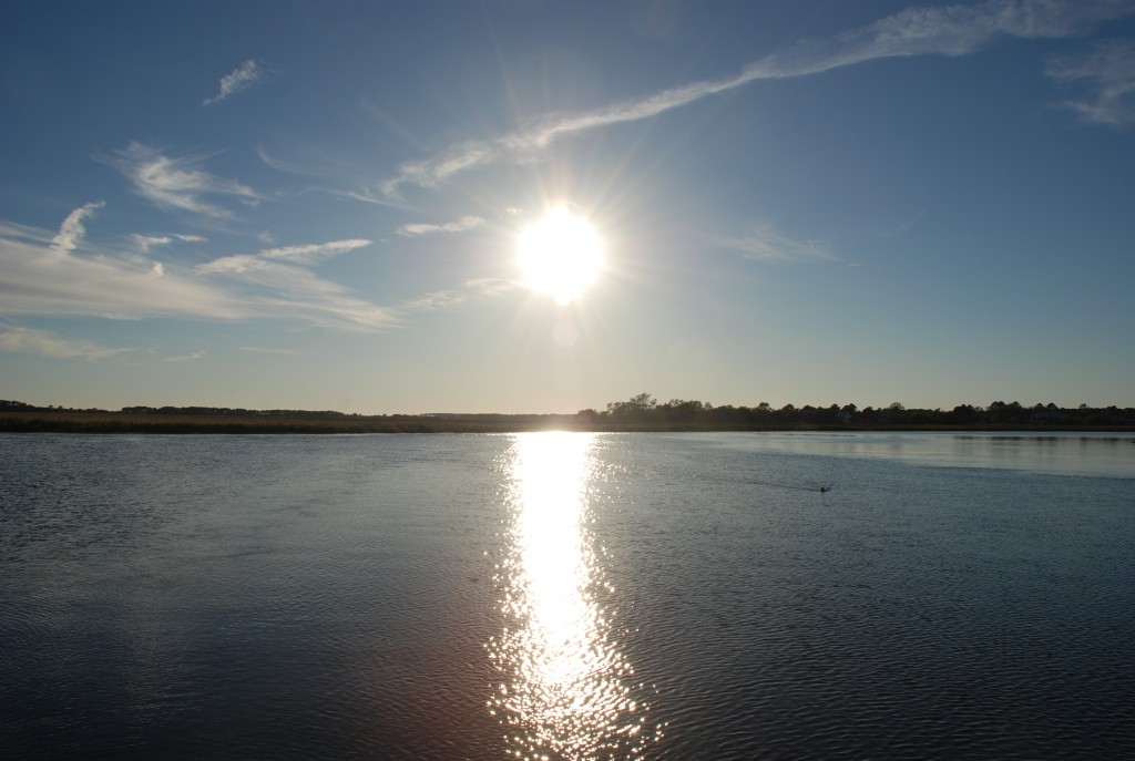
We departed our slip in Charleston around 7 AM on the 7th, timing the slack tide because the current is so difficult to deal with in the Charleston rivers. We moved across the Ashley river and dropped anchor to wait out a bridge closure on Wapoo Creek. The bridge there is closed from 6-9 in the morning and again from 4-7 in the evening to deal with rush hour. We opted to anchor for a few hours versus drive around in circles. That day we ended up in Mosquito Creek, in position 32 33.403N, 080 26.866W, about 2/3rds of the way to Beaufort. We found out why the creek got it’s name…no-see-ums and mosquitoes the size of small birds! It was a gorgeous anchorage in spite of the bugs:

In the middle of the night, I got up to check on the anchor and was treated to a sky full of so many stars that it looked like a TV screen with bad reception.
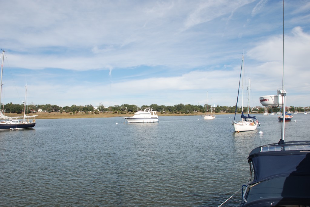
The next day we used the tide to get through a notorious shoal area called Ashpoo/Coosaw Cutoff and made way for Beaufort, which we had considered skipping. About an hour after we were underway, Matt called on the radio and reported that he had a major oil leak on Sofia Jeanne. He was able to make it to Beaufort and get a spare part delivered a day later, so we hung out for a few days on mooring balls, enjoying the downtown area and doing boat maintenance…of course. He got his part and made the repairs today, and we did some passage planning over happy hour drinks. We are now ready to push south in to Georgia. For the trip thus far, the tides have been very well aligned for us to traverse the shoal areas. Not so much for Georgia. We have 3 major shoal areas facing us and high tide is late in the day. It will be a little slower for us in this next week timing the tides and our stops. Also, the days are getting shorter. We will try to make it to St Augustine Florida by the 15th, and Vero Beach by the 19th. It will be a tough week of traveling.
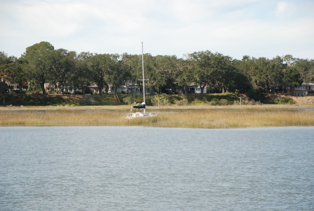
Since we hit Charleston, we have been seeing more evidence of hurricane Matthew, docks destroyed and boats up on land like this one:

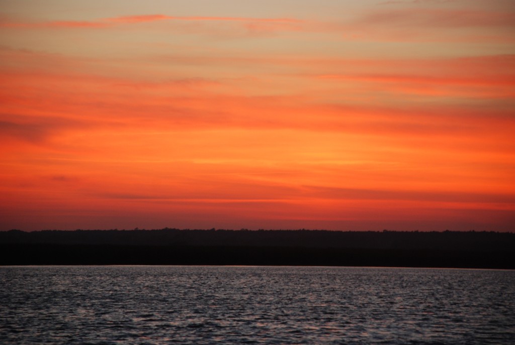
Finally, a picture that I forgot to post a few days ago. This was the sunset from the Awendaw Anchorage on the 3rd:


