9/27/14
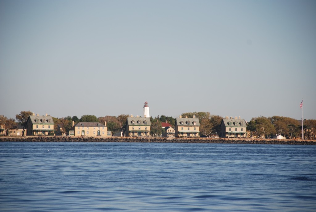
Sandy Hook, NJ
Position: 40 25.10N; 74 01.20W
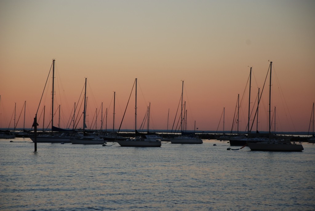
Atlantic Highlands anchorage
Posted by Bill
Happy birthday to our youngest daughter, Jessica! We love you and miss you very much!!!
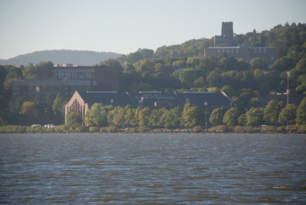
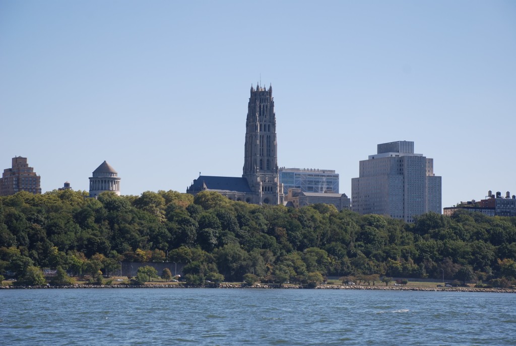
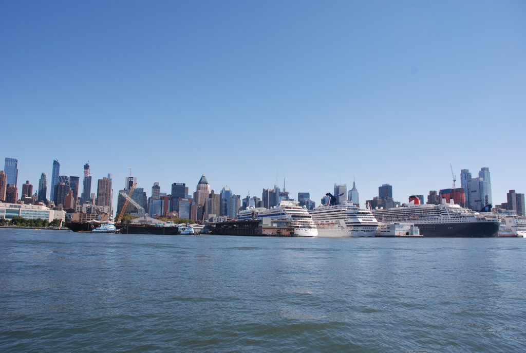
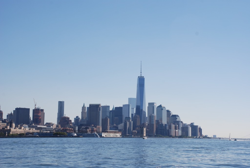
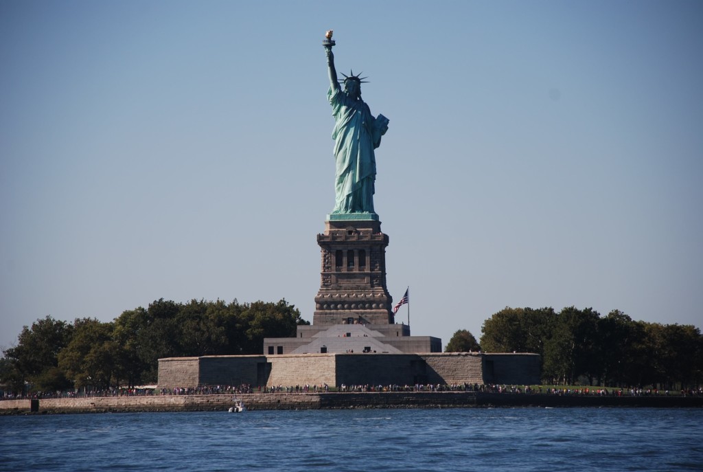
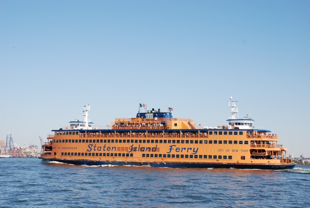
Long day of over 68 miles. We went by West Point Academy and it was absolutely gorgeous. Then into New York City and finally to Sandy Hook, NJ. New York was crazy…boats coming from all directions at the same time. Pleasure craft, sailboats, police, ferries, container ships, all converging in the Hudson River, causing a wave of washing machine type waters. Not fun at all. But very cool to see the city from the water.
When we dropped the hook in Sandy Hook, we could see a spectacular sunset, the lights of New York City and a fireworks show…not sure why…but a nice fire works show.
Our anchorage was our 3rd try. The coast guard station anchorage was pretty croweded and we did not want to anchor too close to others, so we tried Horseshoe Cove. It was crowded too and I could not get the anchor to set, so we motored across Sandy Hook Bay to Atlantic Highlands. It was a great anchorage.
All in all a pretty exciting day. The next few days we have an excellent weather window and will transit to Cape May, NJ via the ocean.
This was a little island across from where we anchored in Cornwall that had ruins of a castle.
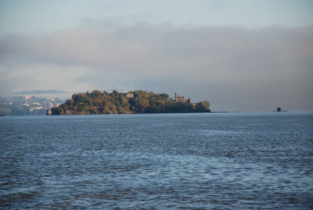
The view approaching West Point Academy.
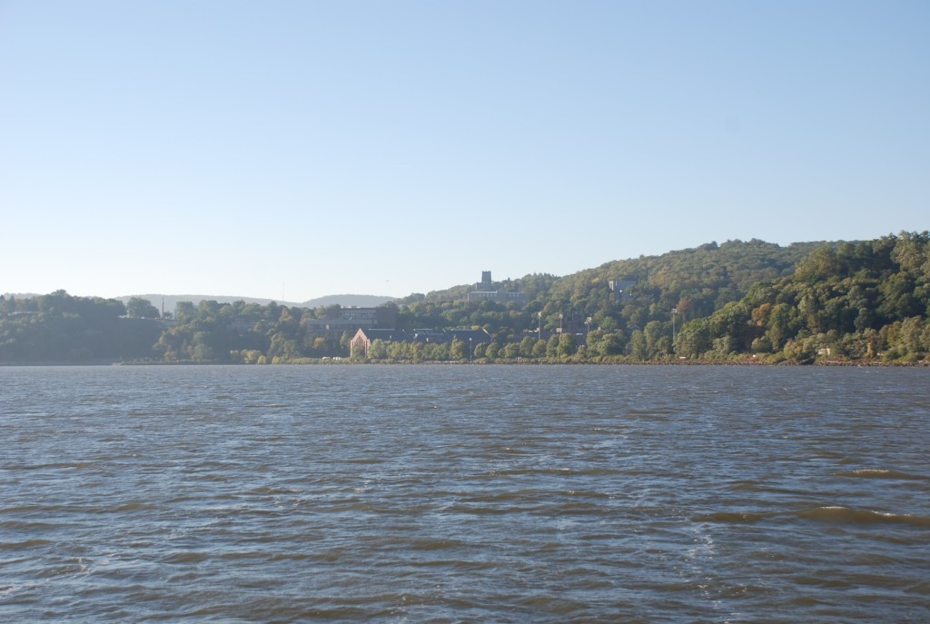
View of the Hudson on the south side of West Point.
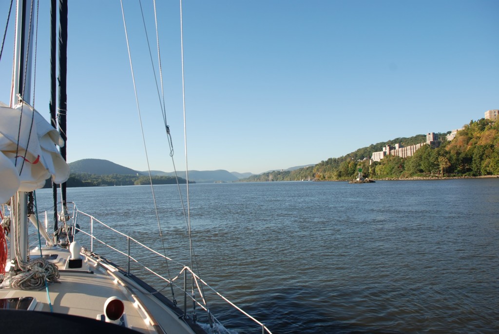
Random view of the Hudson…it was really scenic in this area.
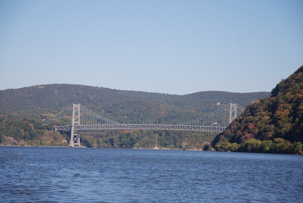
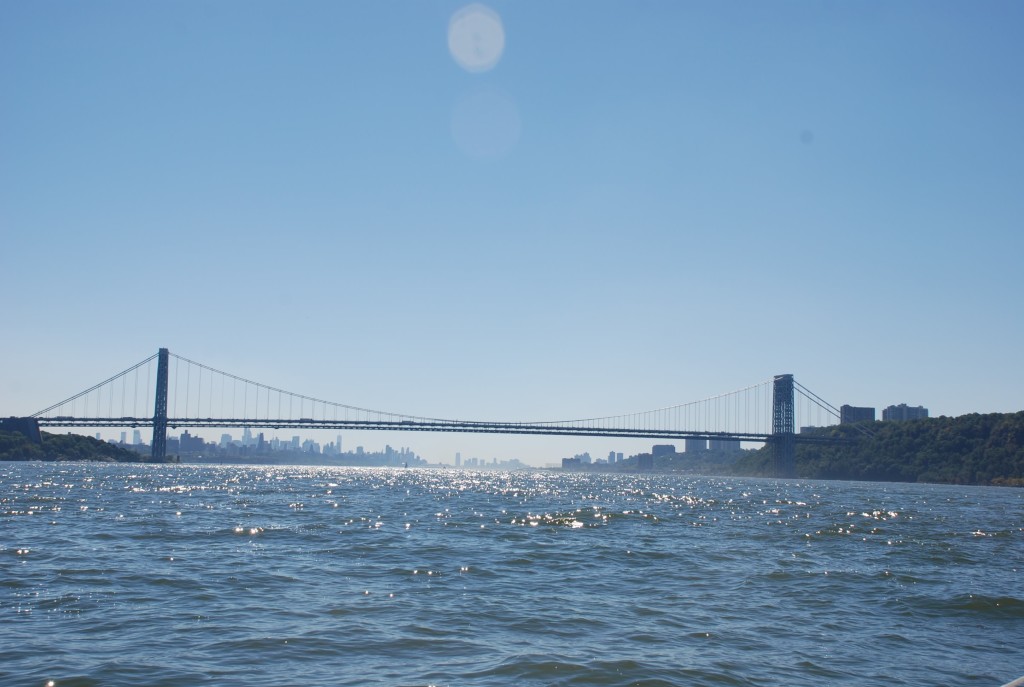
The George Washington Bridge coming into NYC.
This is a view of our Raymarine chart plotter.
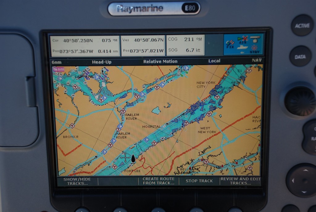
It is like a Garmin for nautical maps and really helps us navigate. We also have a system called AIS. Almost all big ships have AIS and it is becoming more popular for pleasure craft as well. AIS broadcasts your vessel position, speed, course, and other vessel information. The ships show up as blue triangles on the chart plotter and there is an alert function that tells you when you are at risk of collision. It is a great tool to have. As we are coming in to NYC this is what the chart looks like. Triangles all over the place. It was really crazy. As beautiful as it was cruising through, I was glad to get the hell out of there.

Love the pictures today! I check your blog every morning to see what you guys are up to…miss you both 🙂
We really miss seeing you and Jim too! Hope all is well.