Category Archives: ICW – Intracoastal Waterway

Almost made it

11/10/14
Bass Creek off of Parrots Creek SC
Position: 32 28.859N, 80 32.448W
Posted by Bill

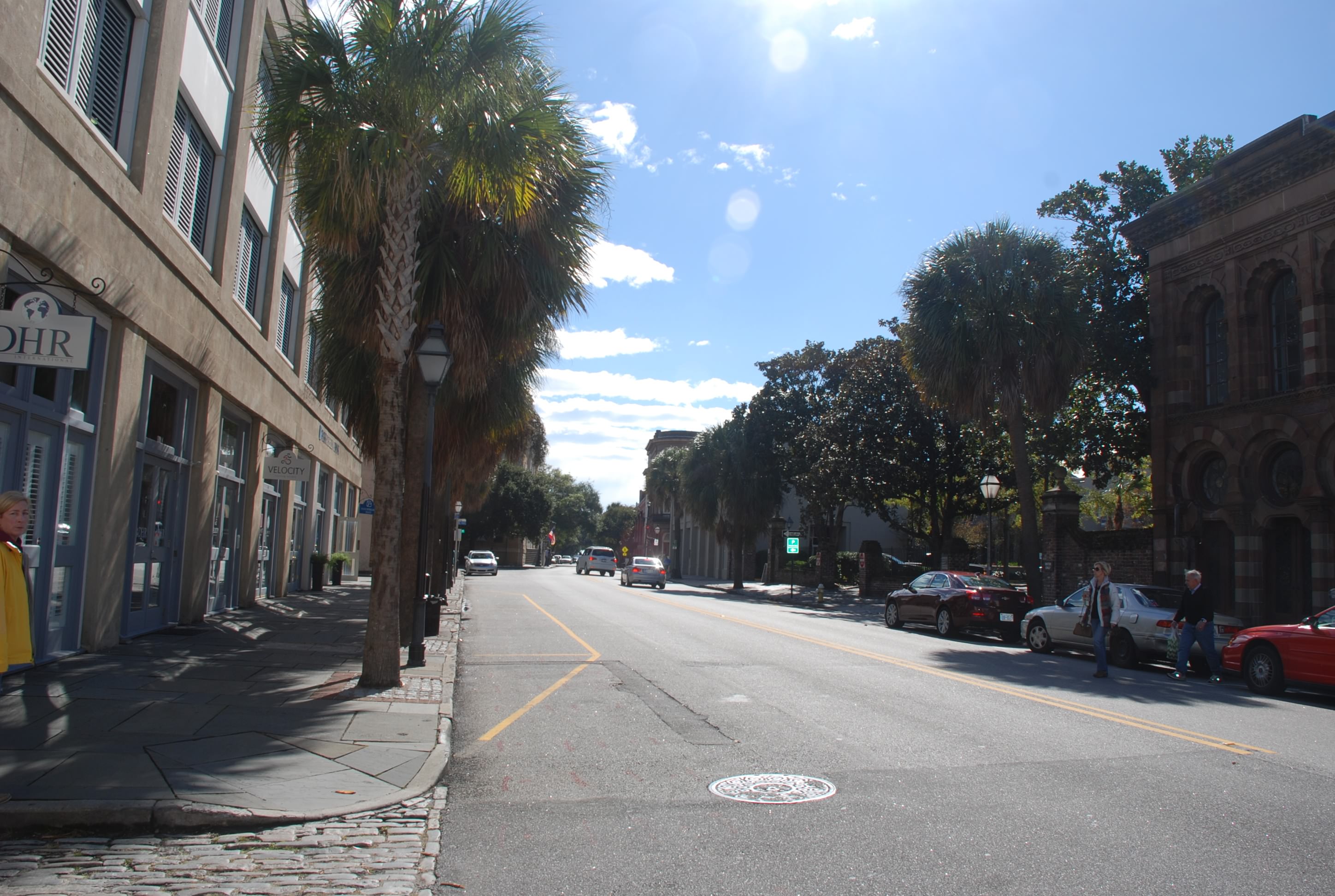
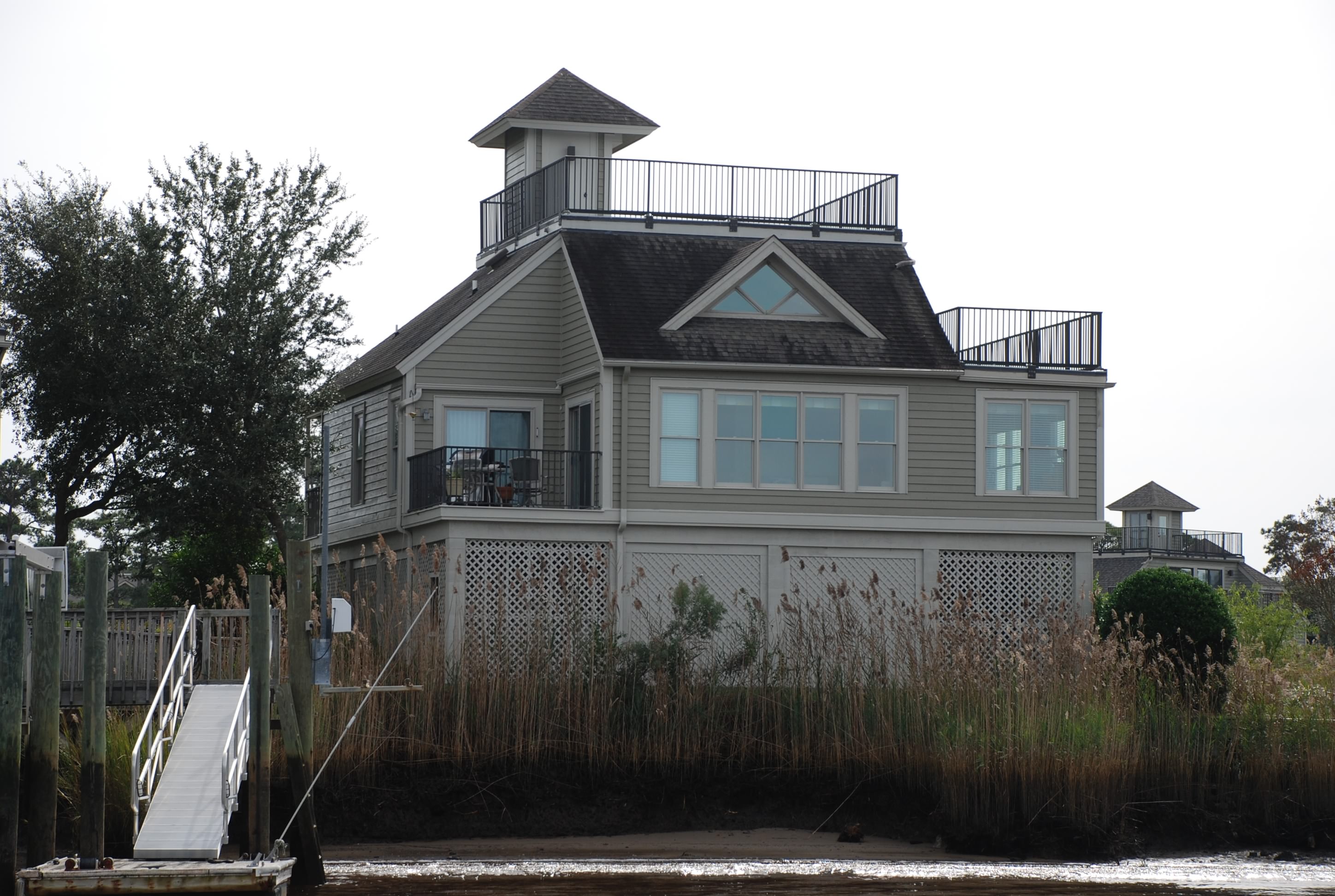
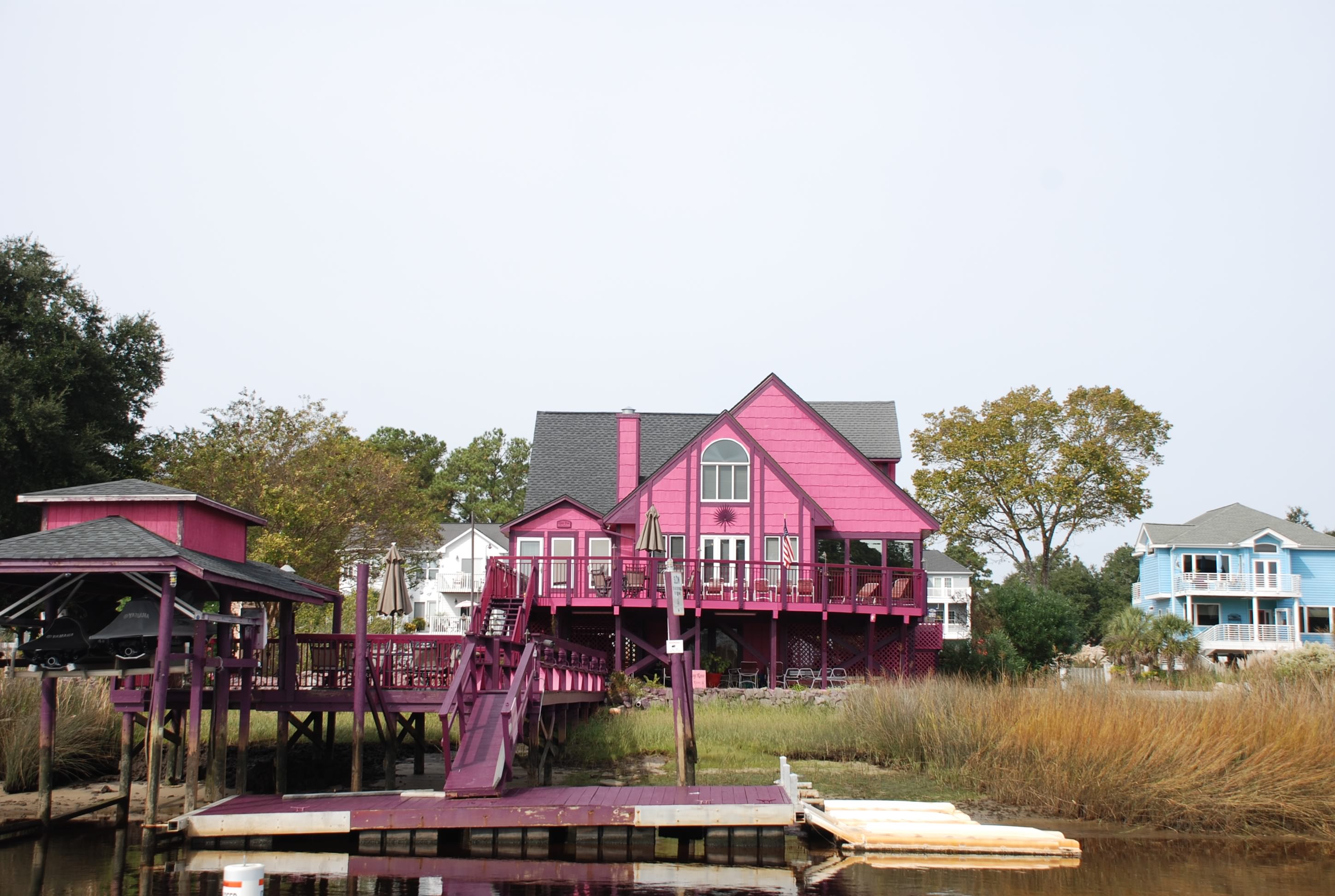
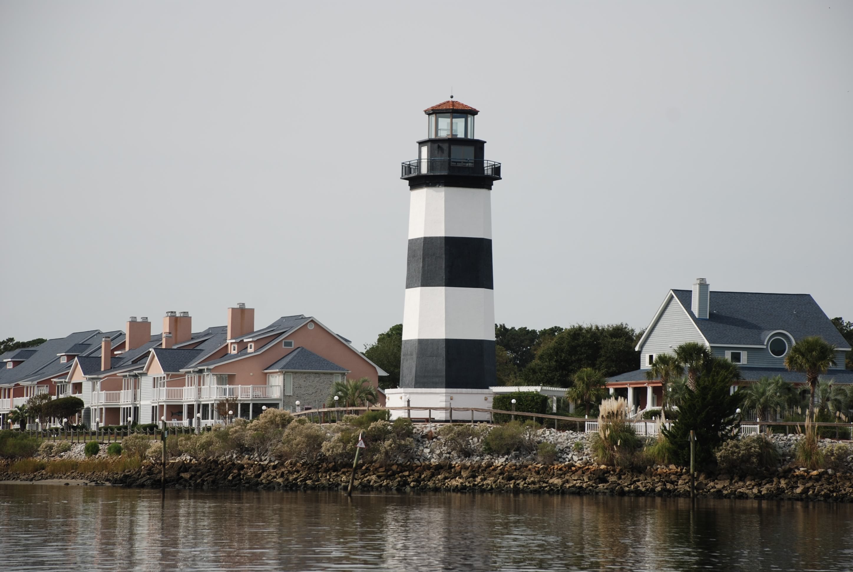
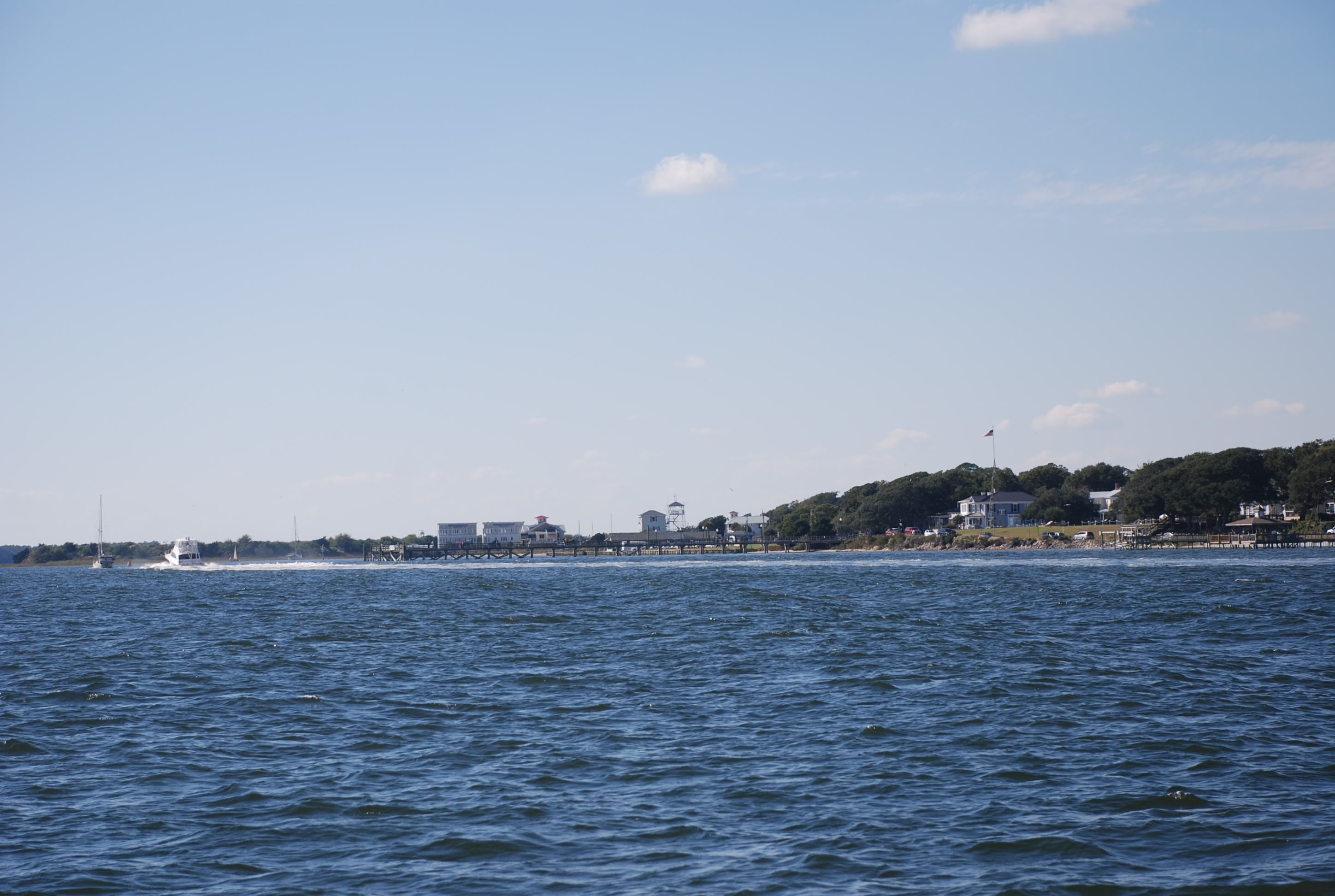
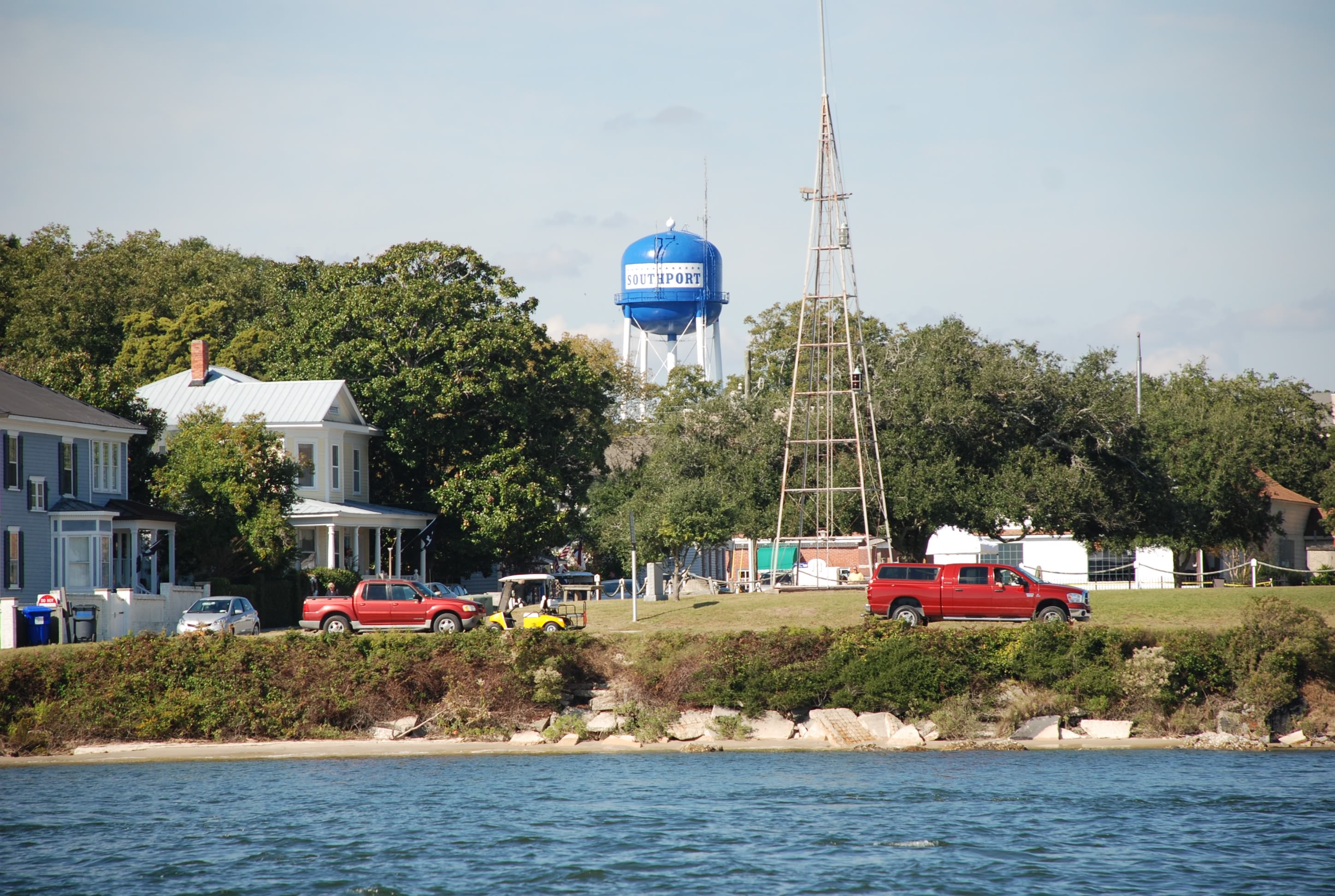
We made the push to Beaufort SC today. It looked doable based on the mileage but it was going to be a long day, so we left the dock at 0640 in the morning. We wanted to catch the tide at slack but we also needed to time going through Elliots Cut just west of Charleston. The tidal current runs so strong there that you need to ride the current or face a pain in the ass passage, so we left before slack tide. Our dock neighbors helped us off the dock which was a MAJOR help…thanks folks, and we left unscathed. I didn’t sleep much the night before worrying about it.

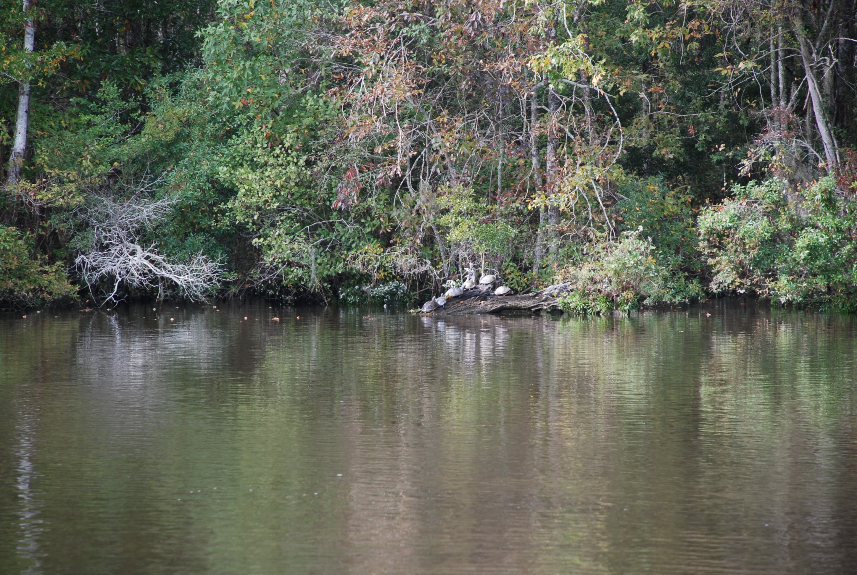
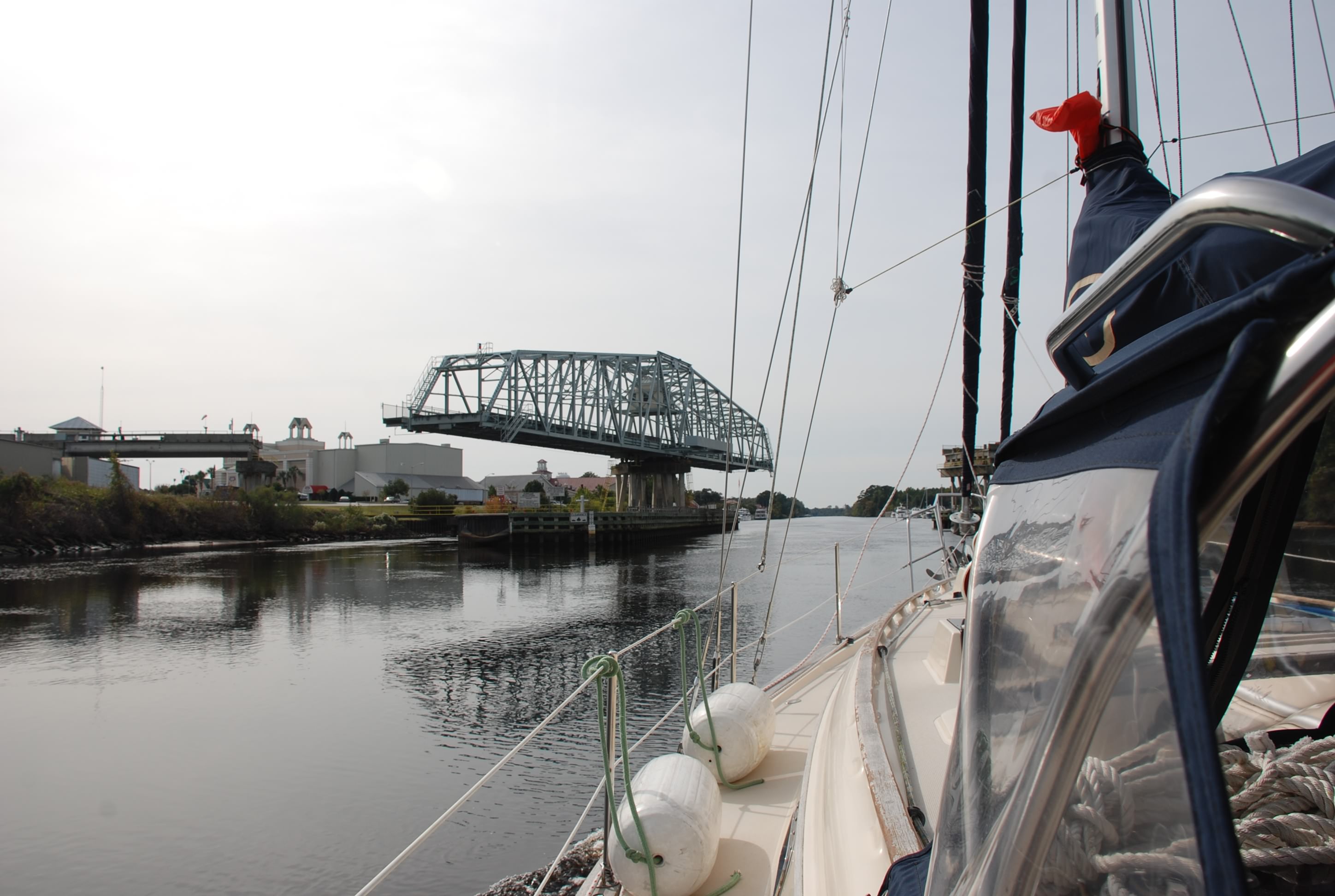
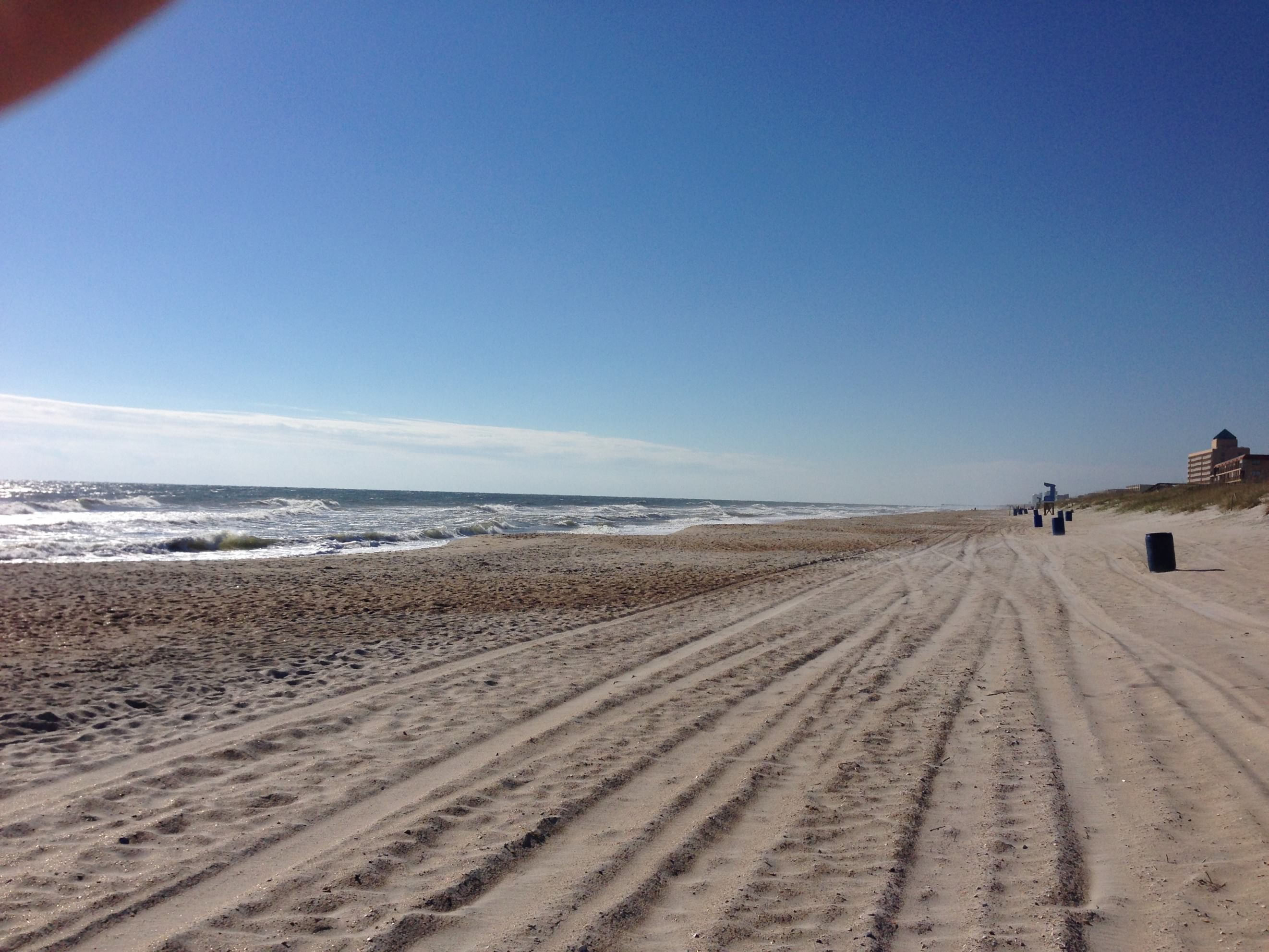
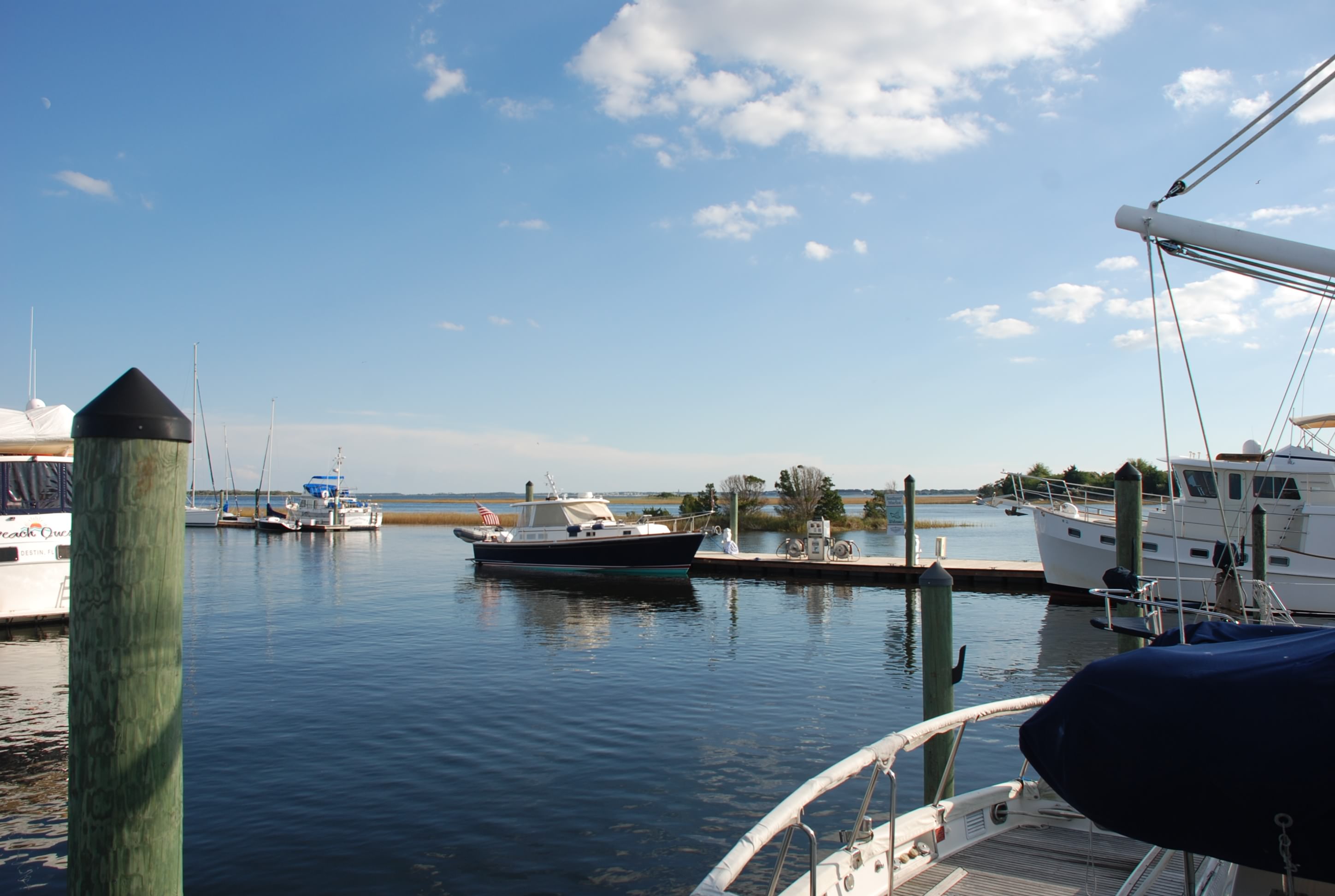
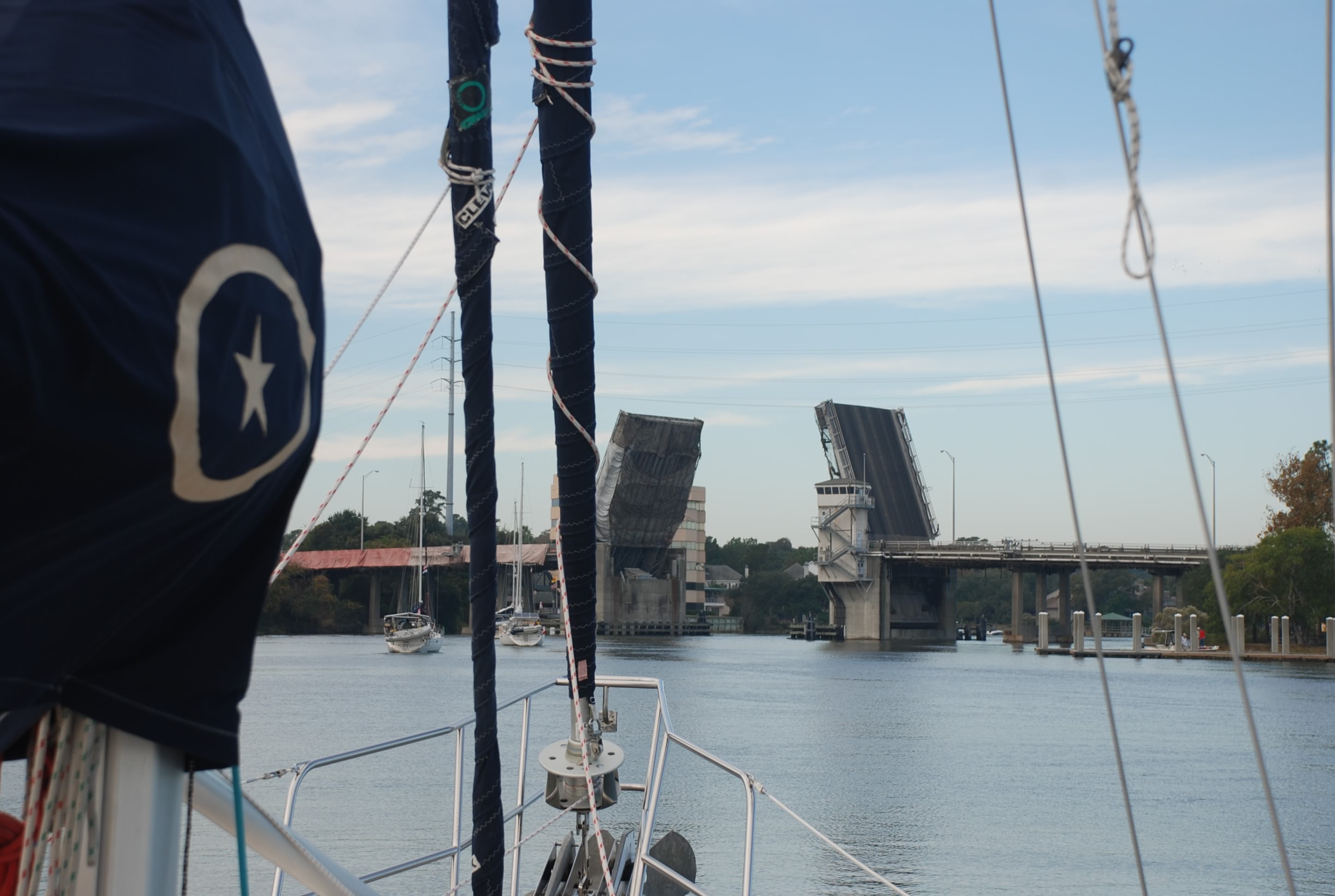
Then I realized I pulled a major oops. We got into Elliots Cut and came up to the Whapoo River Bridge, thinking it opened on the hour and half hour. Turned out it was closed from 6-9 so we had to motor around for 2 hours…real bummer and I felt like a complete idiot. It put us 2 hours behind and also put us at some major shoaled areas close to low tide…not what I was planning to do. We made it through the shoaled spots fine but didn’t have enough time to get to Beaufort by dark, so we anchored in Bass Creek. No one else was around and it was a good anchorage. Tricia cooked a fabulous meal and we got some good sleep.

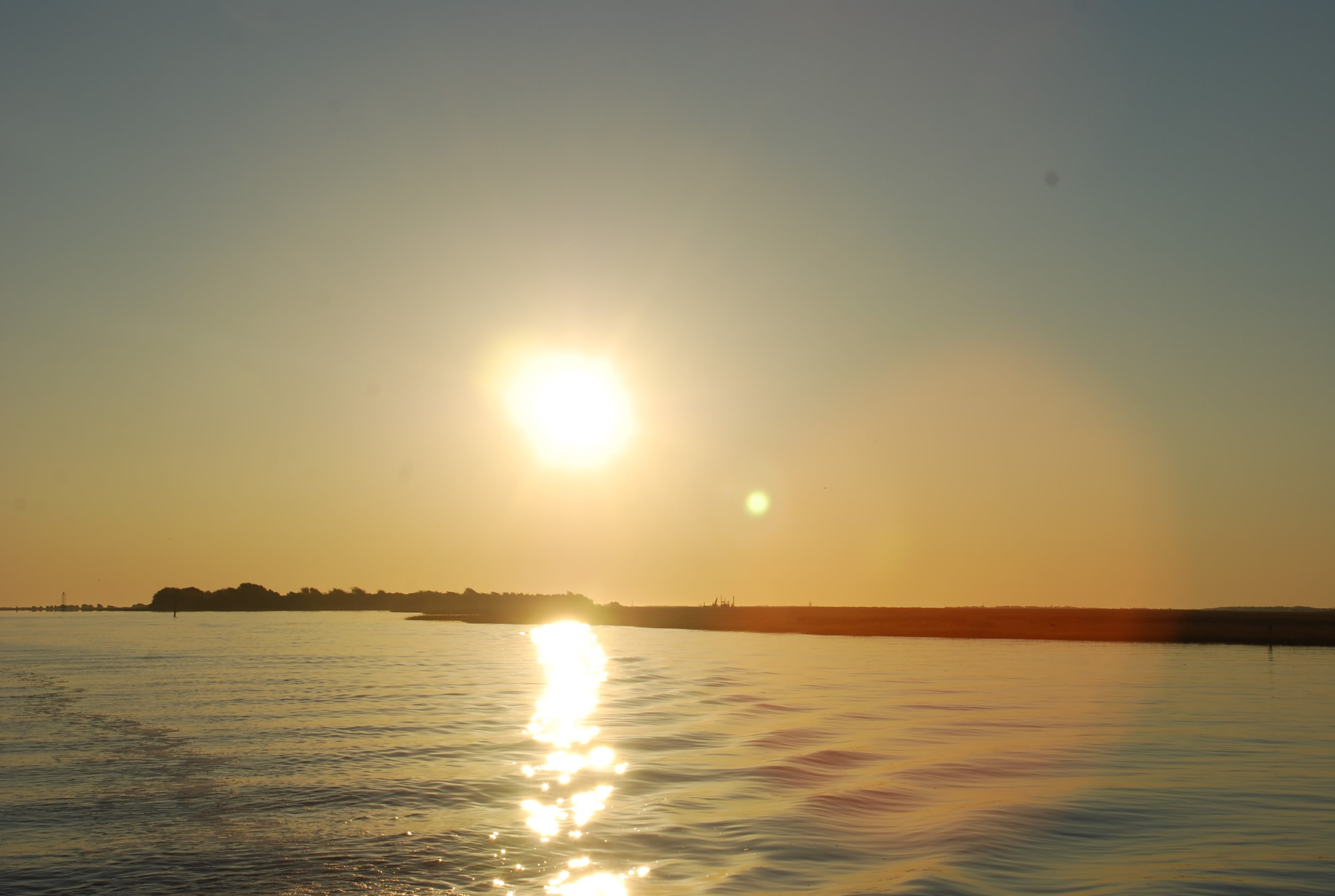
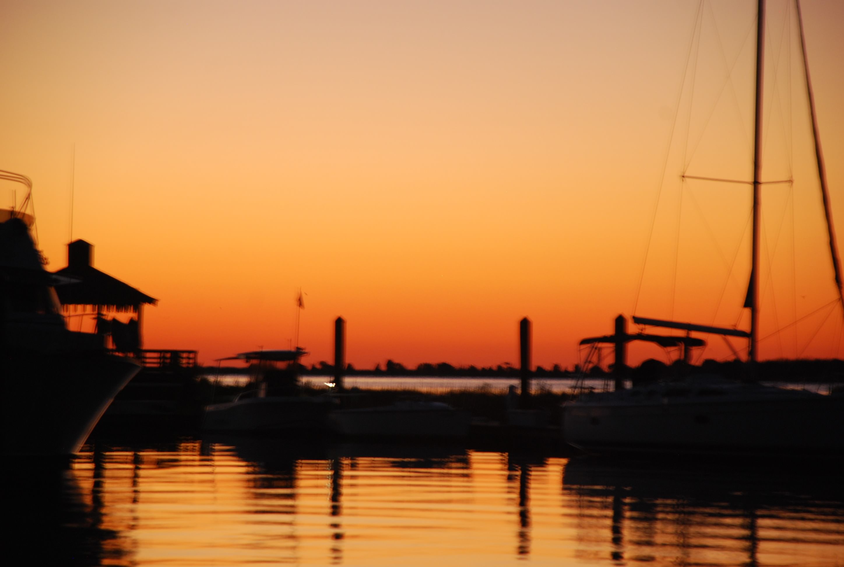
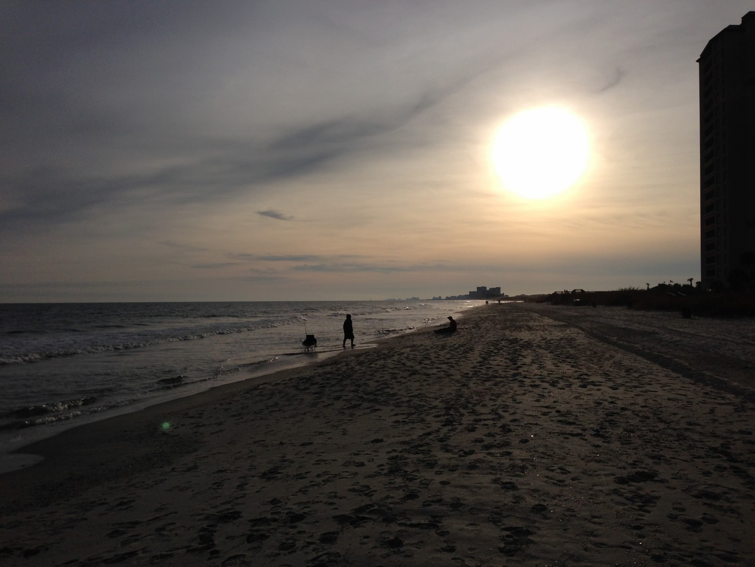
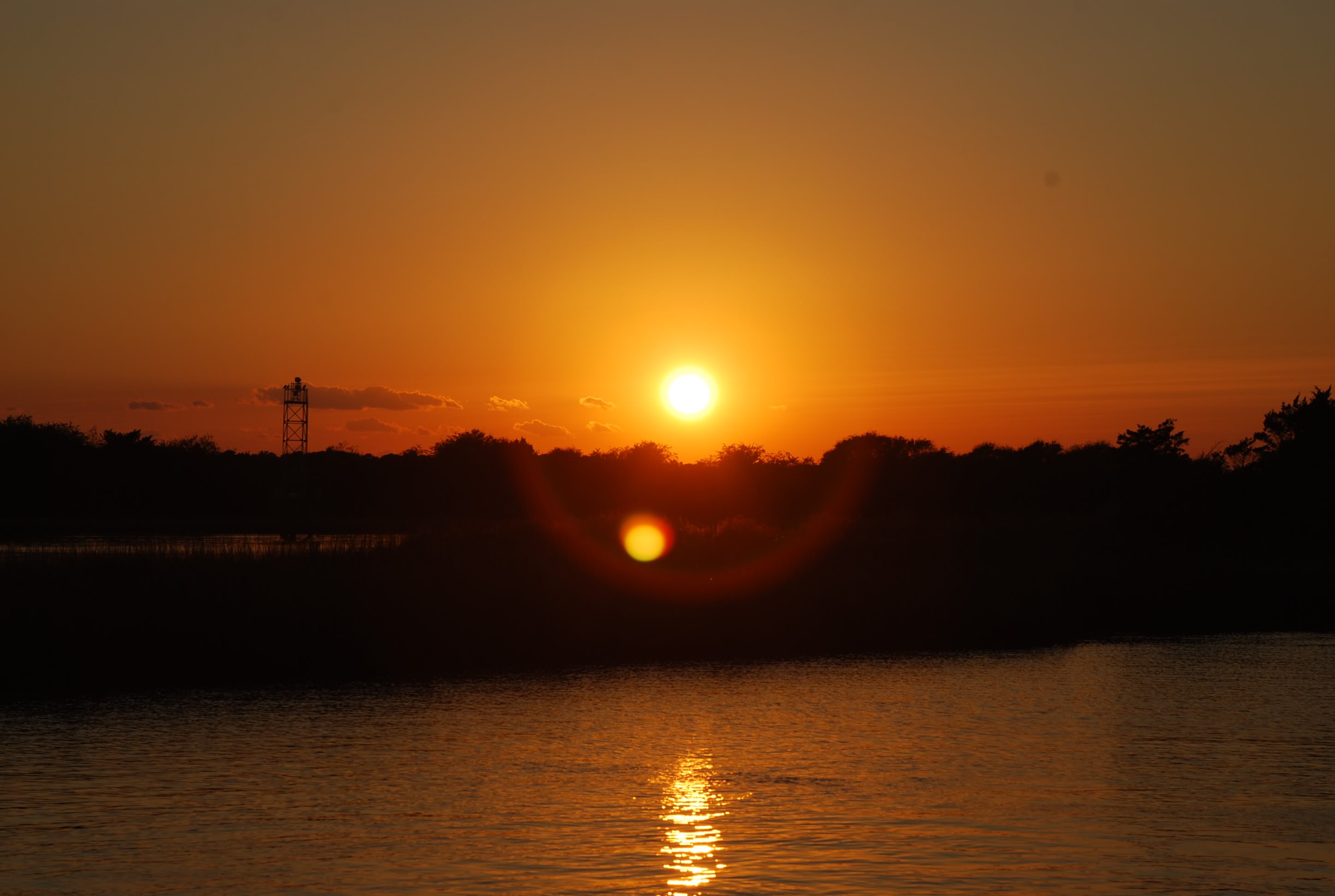
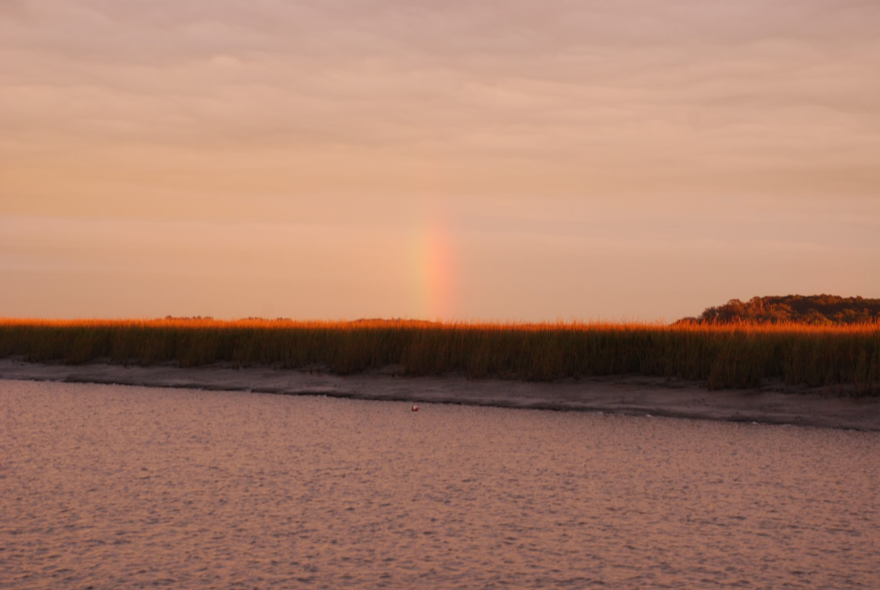
We got to see a sunset on one side and a rainbow on another:
DSC_0753
DSC_0759

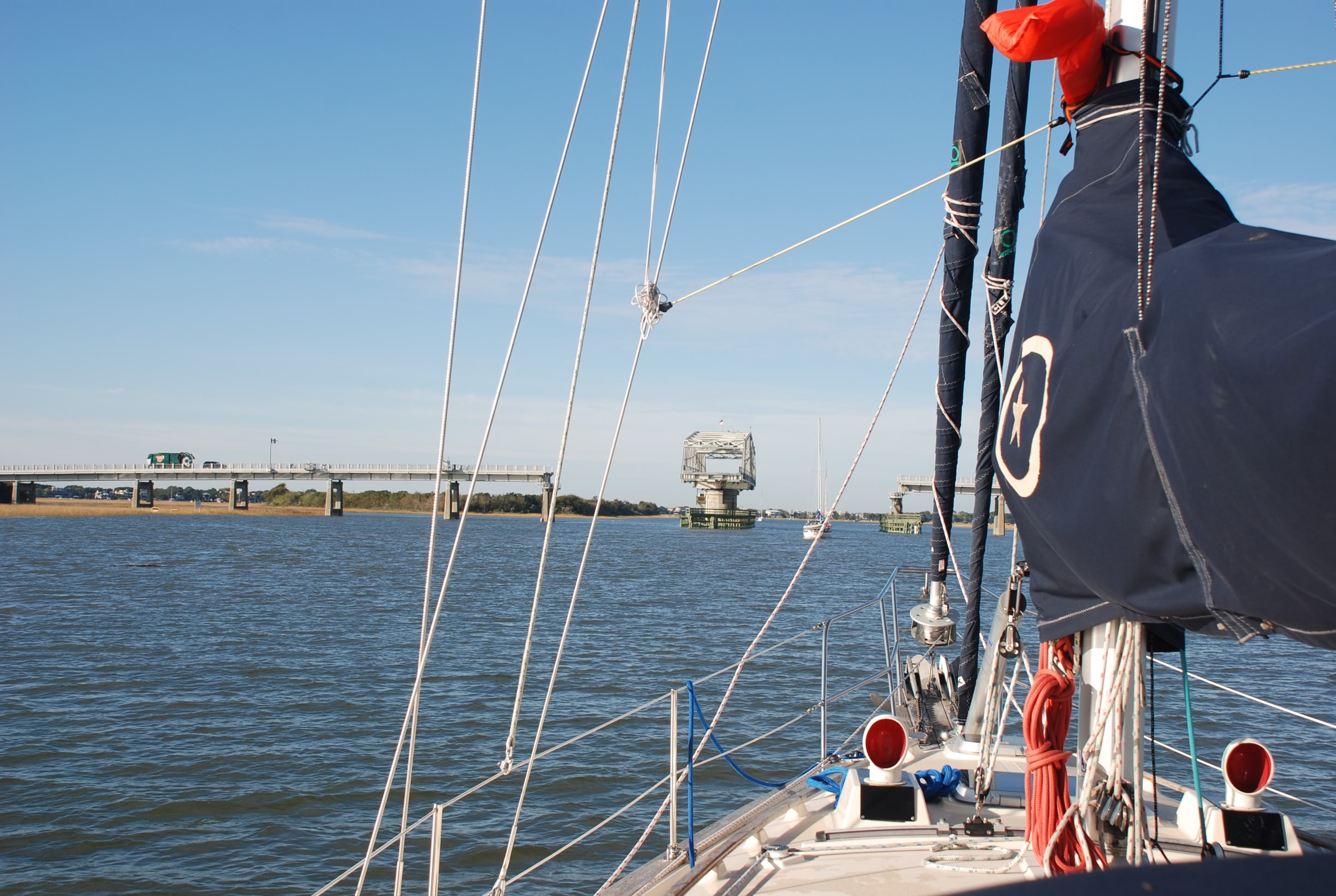
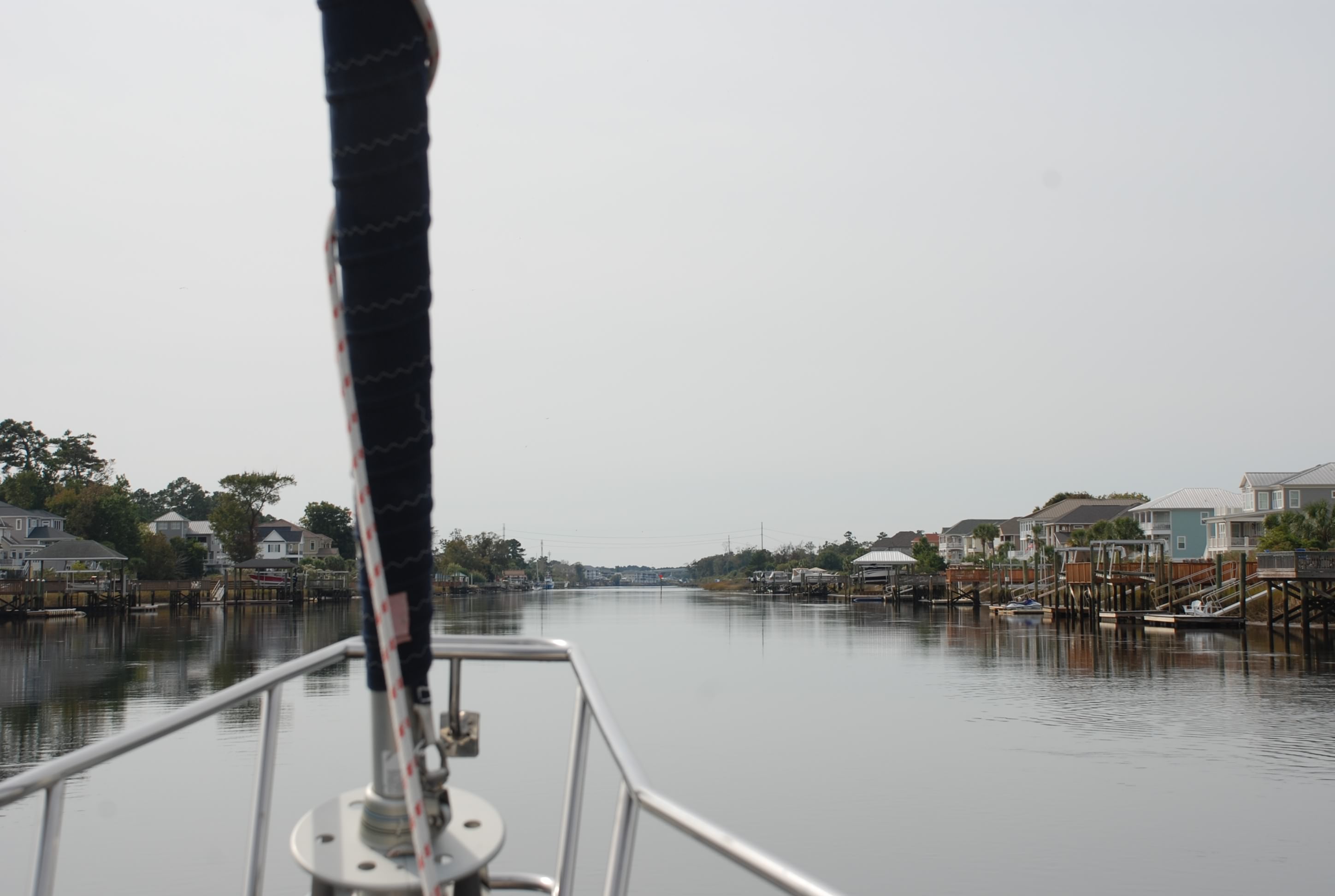
Whapoo River Bridge:
DSC_0745

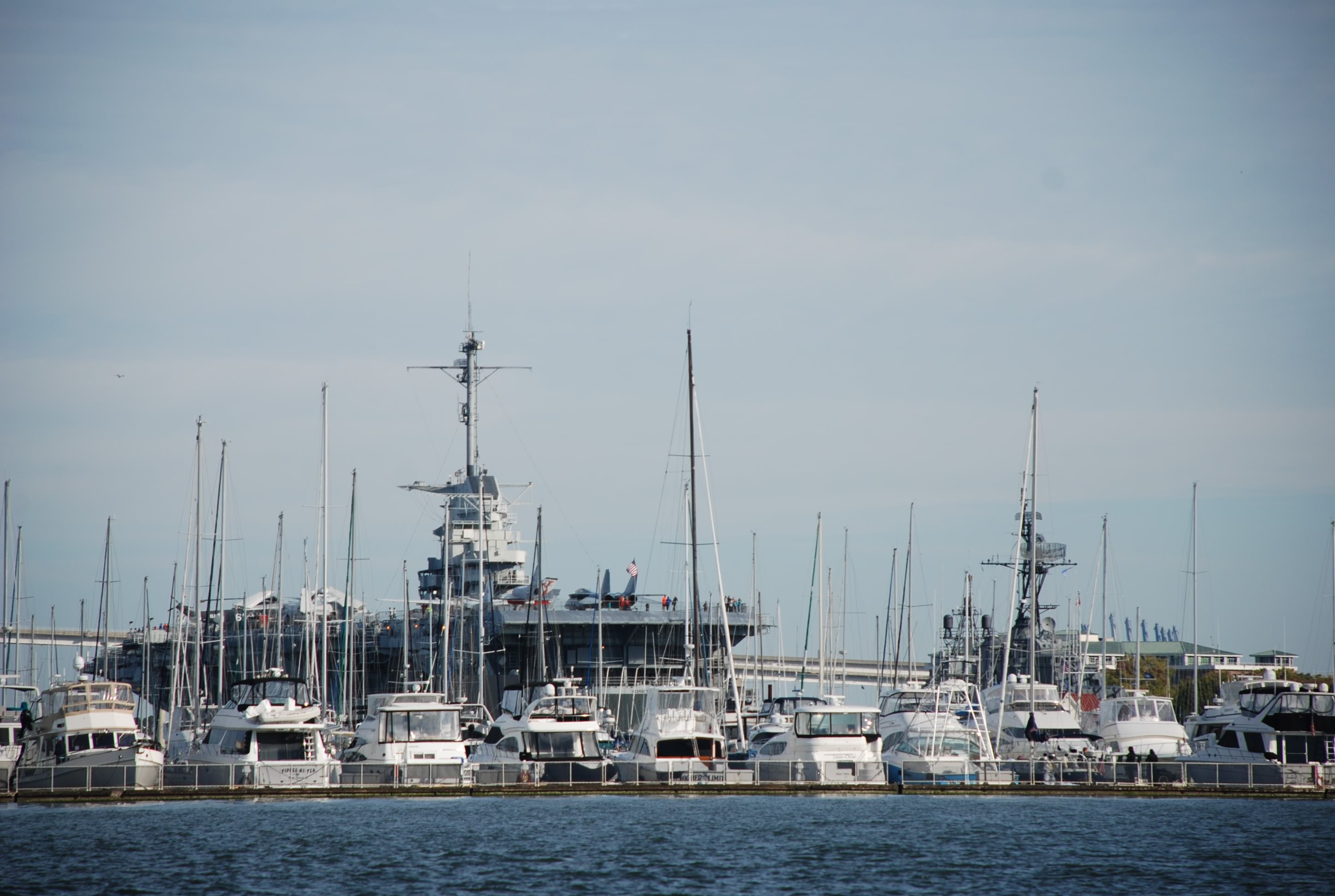
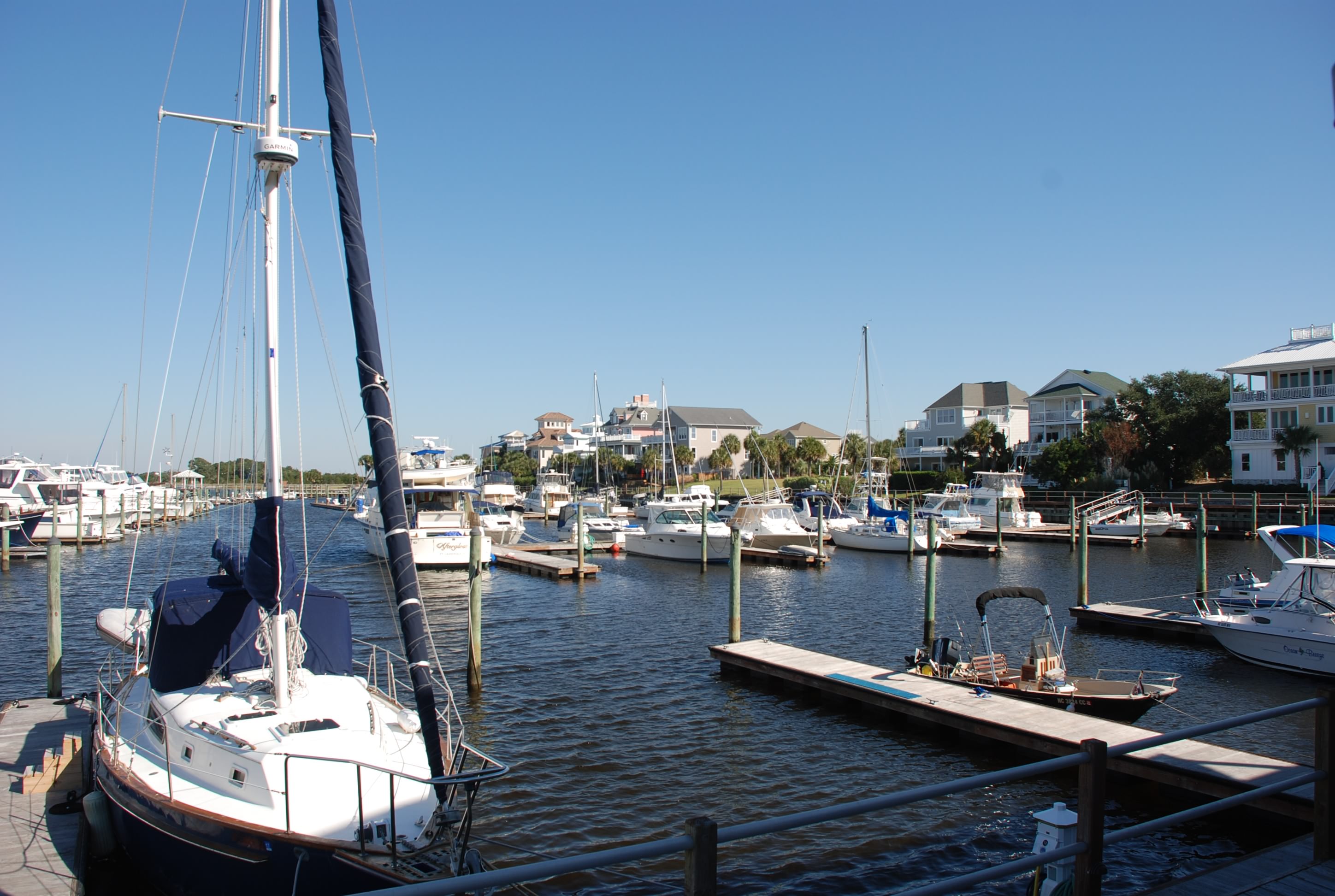
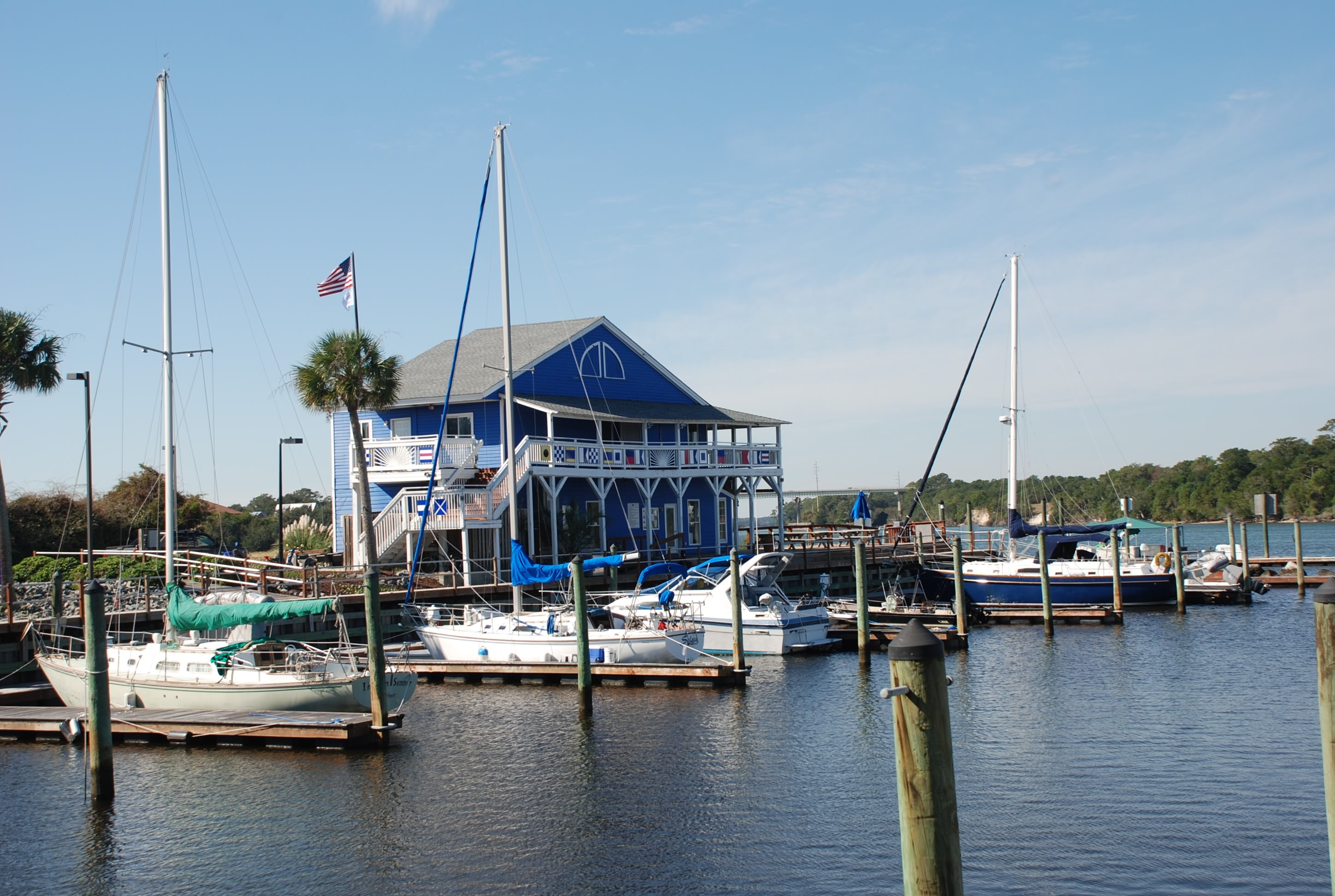
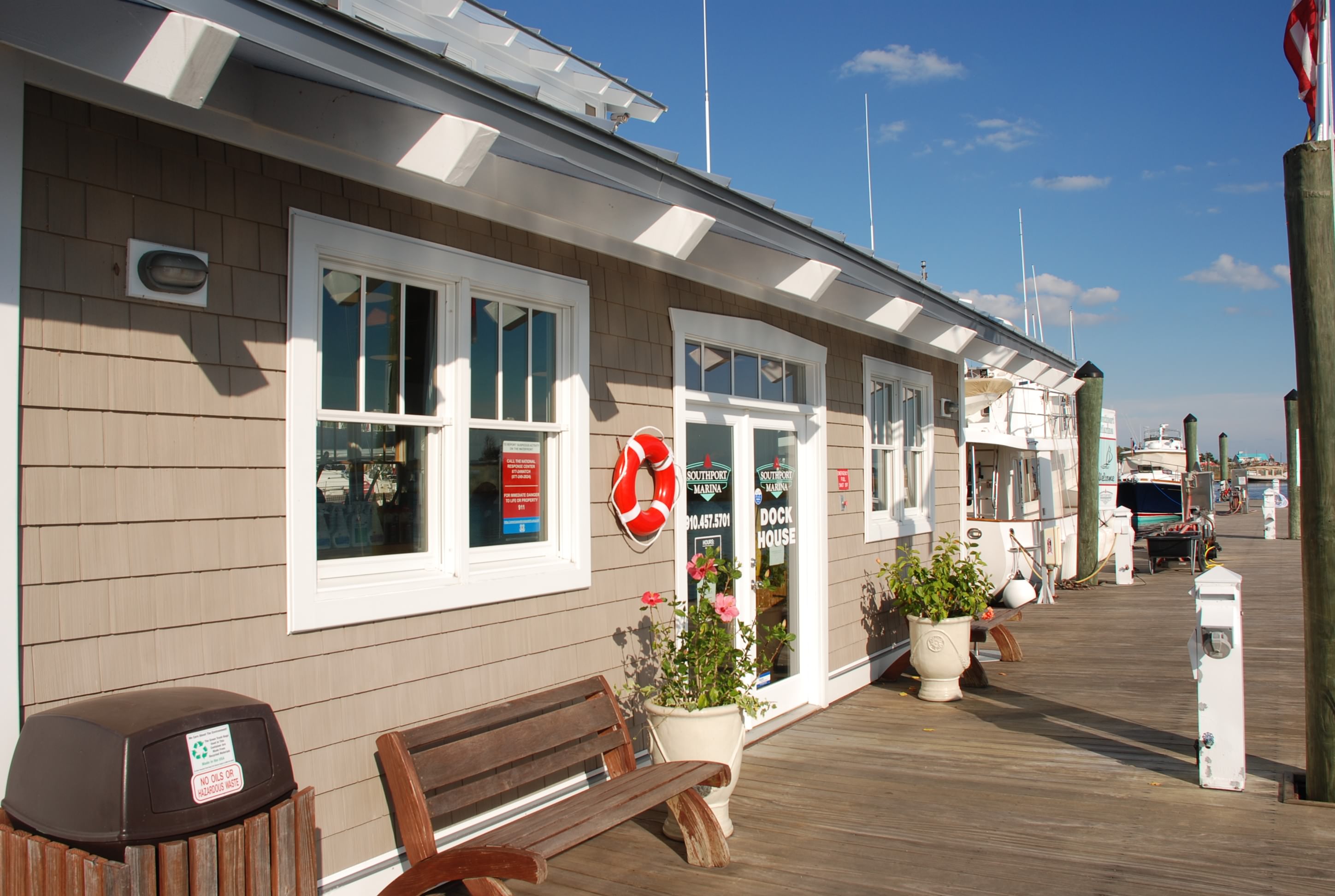
We got to meet some new people at the Charleston Maritime Center Marina, including Hayden and Radeen Cochran. They maintain a couple of web sites for Island Packet boats that are a major help for IP boat owners. It was good to meet them and thank them for their contributions. We have used the shit out of those web sites and they have really helped us dealing with our boat. I wish we could have spent more time with them. They were really nice people and I wanted to get to know them better. Also they have cruised the ICW and Bahamas many times and we could learn much from them. Everyone we have met that is cruising has been very friendly and willing to lend experience or a helpful hand. It is very refreshing. Our friends and family along the way have also been the same. I can’t describe how beneficial it has been! We are starting to get into the “groove” of living aboard and cruising. It is really fun.

Chillin’ in Charleston…part deux

11/9/14
Charleston, SC
Posted by Bill

Today we walked around The Battery area of Charleston with all of the historic homes. Damn cool baby!! I’ll bet these homes are really expensive to maintain so I am glad I don’t own one, but the location and coolness factor is tough to beat. Some pics of the area:
DSC_0678
DSC_0679
DSC_0681
DSC_0684
DSC_0685
DSC_0686
DSC_0687
DSC_0688
DSC_0689
DSC_0690
DSC_0691
DSC_0692
DSC_0694
DSC_0699
DSC_0700
DSC_0701
DSC_0703
DSC_0704

Got some more pics of Patriots point and the USS Yorktown. My buddy Brian’s grandfather did a tour of duty on this ship…very cool. These are for him:
DSC_0705
DSC_0675

Here is a pic of our marina:
DSC_0674

Our friends Terry and Cassandra from Isle of Palms drove into town to meet us for a Charleston pub crawl…way cool!!! We started with rooftop bars and moved on to the highest rated bars for cocktails. The Gin Joint was the most exotic with ingredients that I never heard of…and I have tried a lot of liquor. Absinth was the most interesting. It was used in the old days as a hallucinogen and it made an interesting buzzzzzz! We finished the night going to The Tattooed Moose for dinner. It was featured in Diners Drive Ins and Dives and was a real hoot. Glad to have another day/night with our friends before we moved on. Charleston rocks!!!! Can’t wait to come back.

Chillin’ in Charleston

11/8/14
Charleston Maritime Center, Charleston SC
Position: 32 47.344N, 79 55.459W
Posted by Bill

We were off to an early start to make sure we caught as much tide as we could and headed toward Charleston. As I mentioned in previous posts, this section of the ICW is considered the worst from a shoaling perspective. The intended maintenance of the ICW was to maintain a depth of 12 feet, Mean Low Water (MLW). This is nautical chart speak for saying “it will be around 12 feet deep at an average low tide”. As we traversed this section we saw MLW depths of 3.5 feet (the actual depths were 9 feet). Our boat needs 5.5 feet, so you can understand why we needed to time the tide.

We went through the Ben Sawyer Swing Bridge…
DSC_0624
…and into Charleston Harbor.

The first area you pass is Patriots Point which has a big marina and the USS Yorktown aircraft carrier:
DSC_0660
DSC_0668
You can pay to take a tour of the ship and it looked like it would be cool to do. Maybe we will!

The view of Charleston from the harbor:
DSC_0639

The Ravenel Bridge connects Charleston to Mount Pleasent across the Cooper River. It is impressive:
DSC_0663

We were in the main shipping channel and this massive container ship came around the bend:
DSC_0648
The channel didn’t seem wide enough! I just can’t describe how massive these are when you are right next to them. Needless to say…I gave him a wide berth.

As we pulled in to the Charleston Maritime Center to dock, we pulled right next to our old/new friends on Paperbird. This marina is in a great location and you can walk to grocery stores, hardware stores, galleries, tourist attractions, restaurants and bars. It is amazing how vibrant Charleston is. The streets were packed with people and the number of restaurants and bars begs the question of how can they all stay in business? But every place was packed. Here is a view of King Street:
Charleston
I was glad I wasn’t driving. The traffic sucked!

We went to the farmer’s market:
Charleston Farmers Market
Then took a tour of the Charleston Distillery:
Charleston Distillery
We learned how they make vodka, gin and whiskey here, and then enjoyed tasting samples.

We ate lunch and walked around all afternoon, hitting the grocery and hardware store on the way back. Greg and Lyn on Paperbird asked us to join them for dinner, so we walked and tried to get into one of the highly acclaimed restaurants called Husk. It was too long of a wait so we went next door to Poogan’s Porch. The food was very good and we had a good time getting to know Greg and Lyn.

Enjoying IOP

11/7/14
Isle of Palms, SC
Posted by Bill

We stayed another day on Isle of Palms. Love this place, really been having fun with our friends, and we need to time the tide through the ICW between IOP (Isle of Palms) and the Ben Sawyer Bridge (into Charleston Harbor). This section of the ICW was described as “the worst and shallowest part of the entire ICW”. I wanted to have as much tide as we could have to make the passage and also wanted to have slack tide while we docked in Charleston so we waited another day. We did some administrative work, worked on the boat, and did passage planning for the next few days. We went to breakfast with Terry and Cas and they were kind enough to take us to the grocery store, then we walked the beach for an hour before starting the next happy hour. Terry and Cas met us at the restaurant next to the marina and we drank, played corn hole, and had dinner. Great time!!! We hope they can join us in Charleston over the next 3 days. We are going to miss them.

IOP beach:
IOP beach

Sunset at the marina:
IOP sunset

White knuckle day in the ICW

11/6/14
Isle of Palms SC, ICW
Position: 32 48.381N, 79 45.592W
Posted by Bill

So the funding to dredge the ICW has dried up at the federal level, and the states have had to be very selective about their investment, so parts of the waterway have shoaled over. Today we traveled some troublesome spots at low tide…a super low tide courtesy of a full moon tomorrow. We had a heads up from the excellent ICW briefing we attended at Southport Marina and several boats (including Paperbird) helped us as they were ahead of us.

The first hour of the trip was awesome due to the dolphins that joined us (Tricia did a great job of posting about it). We bumped the bottom several times due to the tide and the full moon that is due tomorrow, but we made it to Isle of Palms Marina. We have visited Isle of Palms several times via car and really like this place, so it was a treat to glide in via the water. We also have friends, Terry and Cassandra, that live here and got to hook up with them. Painkillers on the boat, lobster for dinner, and good conversation with friends….a good night!

We will spend another night here to catch the high tide and the Ben Sawyer Bridge opening at the right time, which is better on Saturday than tomorrow. The state of the ICW and the tides create a complicated passage calculation.

Isle of Palms Marina:
DSC_0616

11/6/14
Somewhere in the ICW, SC
Position: 33 05.384N, 79 25.404 W
Posted by Tricia

So for years we have been reading blogs by other people saying that they see dolphins in their wake. I was starting to think it was an urban legend that people perpetuated to con unsuspecting sailors into becoming cruisers.   One of the many benefits of giving up most of the creature comforts in life. We have seen a few dolphins here and there, but today we hit the jackpot. We had a few dolphins that traveled with us for about half an hour this morning. We thought it was one dolphin switching from one side of the boat to the other, but later we saw about 4 of them swimming together after they left us. It was the coolest thing. They were so close to the boat, we could have reached out and touched them. We only wished the kids and grandkids were here to see them. Flipper making an appearance was truly spectacular.

Here are a few of the pictures that show proof that this really does happen!
Dolphins playing in the creek:
DSC_0602

Closer than at Seaworld:
DSC_0597

Yes Virginia, there really is a dolphin by the boat:
DSC_0588

Waccamaw River and Minim Creek

11/5/14
Minim Creek, SC
Position: 33 11.502N, 79 16.367W
Posted by Bill

We left Barefoot Landing in Myrtle Beach on a flood tide. We traveled the Waccamaw River into Winyah Bay and then down to Minim Creek where we anchored for the night. Most of the trip was really remote, surrounded by nature sanctuary and preserves. The river was tree-lined with Spanish moss. We caught the flood tide until it went slack and fortunately the tide began the pull from Winyah Bay at that point in the river and we rode the ebb all the way to Georgetown. We had a positive tidal current the whole day!

We hit the ICW entrance in Winyah bay at low tide just as the current started to turn, and as we approached the ICW we saw Paperbird, the people we met in Deale MD and anchored with in Mill Creek. Their boat draft is 1 inch less than ours and we followed them into the ICW entrance. This entrance is a well known trouble spot that is shoaled over pretty bad. Our notes said to stay left in the channel and after about 50 yards the water gets deeper. Paperbird made it through but we dragged the keel through the bottom, which fortunately was sand/mud, so we made it! From there we had plenty of water to our anchorage, which was very secluded and peaceful. We took the dinghy over to formally meet Greg and Lynn on Paperbird and exchanged passage planning notes and information. They were really nice folks and I am sure we will meet up with them again.

The Waccamaw River:
DSC_0554
We saw lots of turtles like this sunning on logs…I like turtles!
DSC_0565
Another section of expensive homes along the waterway. I just don’t understand how this many people can afford places like this.
DSC_0525
DSC_0528
Minim Creek:
DSC_0346
As the sun set the bugs came out and swarmed us so we went below and had another delicious dinner by Trish!

Alternator update: Worked flawlessly today.

We survived The Rock Pile!!!

11/4/14
North Myrtle Beach, SC
Position: 33 48.102N, 78 44.816W
Posted by Bill

We broke the spell that held us at Southport and continued on today. We really like Southport and will certainly be back, probably after we are done cruising around on our boat. It was tough to leave for some reason, but we shoved off early at 6:50 AM. Now that the time has changed we need to get going earlier to make our distances by dark. Sunrise today (see Jeff Felkey, we do get up early):
DSC_0342
DSC_0346

One advantage of waiting in Southport for an extra day was that all of the boats in our pack heading south got ahead of us. We had a pleasant voyage without the pack of 20 sailboats at the bridges, or 15 power boats blasting by and throwing up a wake. The marine radio was very quiet for once. Good change.

We went by some ocean inlets today at Lockwoods Folley and the Little River and we had to watch for shoaling and major current action. It was pretty interesting, especially the currents. You would be traveling at 4.7 knots and suddenly going 9.1, only to be back to 5 in 15 minutes, and all of the sudden a cross current would grab the boat and pull it sideways. No lazy autopilot passages!

It was amazing to us to see the number of houses along the ICW as well as the barrier islands and beaches, and the size and expense of them. It was pretty much non-stop the entire 39 nautical miles. There is a lot of money along the water. Where do they all get the money??
DSC_0360
DSC_0361
DSC_0388
DSC_0441
DSC_0458
DSC_0484

Myrtle Beach Yacht Club:
DSC_0445

Some interesting business locations along the way:
DSC_0375
DSC_0399

And a derelict boat that was sinking…nobody cared…
DSC_0385

The biggest navigation challenge today was traversing The Rock Pile. It is a section of the ICW north of North Myrtle Beach where the Army Core of Engineers blasted the rock bed to cut the ICW channel. To save money, they blasted the middle of the channel but not the edges. Any tide above low tide and you cannot see the rock edges and many boats have wandered outside of the channel into doom and peril!! We arrived at low tide and stayed in the middle of the channel and survived the Rock Pile!!
DSC_0492
DSC_0501

As we went through the Barefoot Landing Swing Bridge, we breathed a sigh of relief and pulled into our marina.
DSC_0519
We walked over the bridge to Hamburger Joes, one of our favorite places to eat when vacationing here. We walked the beach for a bit and then to dinner at Joes (a different place but next to Hamburger Joes). We ate at the bar and struck up a conversation with people sitting there. One lady offered to give us a ride back to our marina and we accepted! What a kind gesture. We followed it by smacking her in the head, taking her purse and her SUV. We are half way to Mexico….just kidding. People have been really nice in the Carolinas.

The beach:
myrtle beach 2
myrtle beach 1

Update on the alternator. On our passage to Southport the alternator performed flawlessly. Today, not so much. It never kicked in until we were 4 hours underway and then worked like a champ. I don’t know…

Damn it’s cold!

11/2/14
Southport NC
Posted by Bill

Yesterday the weather came in with a vengeance…hail, pouring rain, and wind all day. We didn’t let that get us down and we walked 2+ miles going to lunch in town, and also getting a document printed. By the time we made it back to the boat our pants and shoes were completely soaked. Not the better side of living on a boat.

Today, we had sunny skies but highs only in the low 50s and lots of wind. We walked to breakfast in town and then along the waterfront. We ran into this guy with a OSU hat on and struck up a conversation with him and his wife. They were from Dublin, Ohio and moved here 2 years ago. They told us about their cool subdivision and how much they loved living here. The subdivision was a little over a mile from our marina and the waterfront downtown, and it was composed of new build construction cottages, and we decided to go check it out. It turned out to be really nice…so nice we are going to stay an extra day here to do more due diligence.

The marina holds a session every day at 6PM that talks about the weather for the next 3-4 days, passage planning for ocean passages from the Cape Fear River, and also conditions in the ICW going south to Savannah GA. The ICW talk scared the crap out of us. There are many sections that are so shallow that they can only be attempted during high tide. That’s going to put a difficult spin on passage planning. One couple in the briefing said that they used the ICW in the spring and it was so badly shoaled in some areas, that they are going to do all ocean passages and never use the ICW again…wow!

After the briefing we walked to dinner and froze our asses off. The locals told us that this is as cold as it ever gets during the year and everyone is complaining that it has hit so soon. Good news is that it will be in the 70s again in a few days. Glad we have heat on the boat.

Some pictures of the waterfront in Southport:
DSC_0321
DSC_0322
DSC_0323
DSC_0324
DSC_0325

And the marina:
DSC_0328

Not quite sunset:
DSC_0329

Riding out the next wave of weather

10/31/14
Southport NC, ICW
Position: 33 55.054N, 78 01.685W
Posted by Bill

We only had a short hop of 12.5 nautical miles to go today and we wanted to time the tides for our journey, so we walked to breakfast and walked the beach for a few hours before we left. Carolina Beach was the first place I experienced the ocean as a kid and I like like beach here a lot, so this was fun even though it was only 65 degrees and windy as hell. We stopped and bought some shrimp where the boats come in with their catch and then back to the boat. I had more time to take a few pictures of the marina here:
DSC_0258
DSC_0262
Some really cool houses along the marina:
DSC_0259
Looking south into Carolina Beach downtown:
DSC_0260
Island Bound at the dock:
DSC_0263
The beach:
Carolina Beach

We motored out of the marina and into Snow’s Cut which leads into the Cape Fear River. The tide was coming in, but the current in Snow’s cut runs opposite of the Cape Fear River, and we shot off like a rocket (in sailboat perspective) going 9.2 knots. Once we hit the river we had opposing tide and a 20 knot wind behind us. This slowed us to 4.8 knots and even 3.9 at one point, and the winds created a healthy chop. It was a beautiful day.
Snow’s Cut:
DSC_0261
Cape Fear River:
DSC_0275

We visited Southport many years ago while on a business trip and really fell in love with the town. It is steeped in history and has the charm of an old southern sea port. The historic homes are well kept and there are lots of restaurants and shops. I have been looking forward to spending a few days here since we left our dock in Lake Erie. The marina here is really nice too. It was pretty packed and we saw lots of boats that we have been traveling with since we left Portsmouth. There are 2 weather fronts moving through in the next couple of days, with winds over 40 knots and temperatures falling into the 30’s at night. Glad to be tied to a dock and run the heater.
Coming in to Southport:
DSC_0285
DSC_0286
DSC_0294
Pictures from our dock and of the marina:
DSC_0302
DSC_0304

We walked into town and had an outstanding dinner, watching the trick-or-treaters along the way. It reminded us of our grandkids and made us miss them even more. One lady said hello to us as she was waiting for the next group of kids, and asked us if we were trick-or-treating. We said “we could be” and she gave us our pick of candy…lol. It was a nice evening and the temperature was in the low 60’s…love that!

Today’s sunset at the marina:
DSC_0311