Category Archives: ICW – Intracoastal Waterway

Moving on down to Daytona Beach

12/18/14
Daytona Beach FL
Position: 29 05.434N, 80 56.415W
Posted by Bill

We decided not to stay for additional days in St Augustine and awoke to this sunrise.
DSC_0567
DSC_0570

Then we motored to Daytona Beach. Along the way we saw some creative ideas for decorating, both Christmas and non-Christmas decorating.
DSC_0613
DSC_0632
DSC_0637

We saw lots of more dolphins and some pink flamingos…not the plastic kind.
DSC_0618
Ask Maddox to tell you what they are…lol! These are for him.

We went through a maze of bridges.
DSC_0641
Saw the main Daytona Beach area.
DSC_0649
And docked at Inlet Harbor Marina on Daytona Beach. Here we were next to a great bar/restaurant with live music.
bar
We watched an awesome sunset.
DSC_0659
DSC_0662
We met a couple from New Jersey and talked to them until the restaurant closed, and then went back to the boat. Tomorrow we will
push to get to Cocoa Beach and fall back to Titusville if we don’t make it to Cocoa.

St Augustine, contender for tourist trap of the USA

12/17/14
St Augustine FL, ICW
Position 29 53.720N, 81 18.590W
Posted by Bill

From Jacksonville Beach we moved on to St Augustine. We started to see more and more really opulent homes.
DSC_0518
And landscaping creativity, like this guy putting.
DSC_0521
And…
DSC_0522
DSC_0523
DSC_0524

We ended up mooring in the northern mooring field at St Agustine.
DSC_0563
DSC_0565

St Augustine, the oldest city in America, was very picturesque. There was really cool architecture and old historical buildings.
St Aug 1
St Aug 4
St Aug 3

There were tons of restaurants, bars and shops, but it was a definite “tourist trap” environment. This is not how we roll, so it was a major turn off, and too bad because the city was really cool and had an interesting historical flavor.

Crazy day to Jacksonville Beach

12/16/14
Jacksonville Beach FL
Position: 30 17.424N, 81 25.866W
Posted by Bill

First a confession….they say that there are 2 types of people cruising the ICW, those that run aground, and those that lie about it. I don’t want to be a liar so I confess. Yesterday we were making the run from Jekyll Sound to St Mary’s Sound and I was following a boat in front of me. With all of the distractions of using Active Captain, the Waterway Guide and trying to keep track of the shoal areas, I didn’t realize we got out of the channel at one of the shoal areas. I called on the radio to pass the boat in front of us and realized we were way out of the channel, and quickly diverted 90 degrees back into the channel. We dragged the bottom for about 100 feet. Thank God we were there at high tide or it would have been ugly. Today we ran aground again, but according to our charts we where in the middle of the channel. Sometimes the charts are wrong and they were in this case. It was not a hard grounding, the same for yesterday, so we powered through it, but just the same…we did go aground and do some dredging. Actually it is very tedious watching the navigation markers, the chart plotter (Garmin map for you land lubbers), the depth sounder, and the paper charts, and trying to find deep enough water to make it through. I also use Iphone apps that tell me the tides, winds, waves and hazard areas. Sometimes all of that is more of a distraction than an aid, much like texting and driving. So…full disclosure, we did touch bottom a few times.

First things first, not getting ahead of myself…I coined a new term yesterday after I posted the blog for the day. It was inspired by a boat that grabbed the mooring ball behind us. The term is “Ass Captain”. Take that where ever you want and you will be spot on, trust me. First, for you non-boaters, the way a mooring buoy works: It is a floating ball with a chain attached to it that secures it to the sea bed with either a big ass weight, or a permanent attachment. At the top it has a ring for you to grab or a length of rope called a “pennant”. You use your lines to attach to the pennant or the ring and then secure your boat to the mooring. Typically you need to add a line that has enough length to give the proper “scope” to the mooring so that it does not pull out of the sea bed. In light winds, you don’t need much scope or length of rope attached, but in strong current or strong winds, you need to add scope to keep the mooring secured. The Ass Captain award recipient of the day grabbed the pennant and pulled it up to the bow of his boat without any scope.
DSC_0465
I have never seen anyone do this before.

Stayed tuned for future Ass Captain awards as people do stupid shit.

That being said, we learned a lesson from some other boats that did not allow much scope to their mooring (although none quite as crazy as the Ass Captain). There was no wind overnight or even during the day. As the tide reverses, it turns the boat around the mooring. As we got ready to leave, we realized our lines were wrapped around the mooring buoy and we couldn’t get them loose. We had already secured the dinghy, which takes some effort, but after trying to break free I realized we needed to launch the dinghy again so that I could try to free the lines. The lines had become wrapped around the buoy from the shifting tide and were fouled around the chain that holds the buoy to the sea bed. After about 30 minutes of man-handling the buoy, and getting cuts and abrasions from the barnacles, I was able to free the line. We secured the dink (dinghy) and were off, late according to our plan. Next time if there is no wind, I will pull the pennant up closer to the bow of the boat so it cannot foul.

During our transit we went through another draw bridge.
DSC_0479
We also passed some Navy war ships being worked on.
DSC_0493
And saw a shit load of dolphins…more than ever before.
DSC_0507

We docked at Palm Cove Marina at Jacksonville Beach. It was 74 degrees and I wore shorts…yeah baby!!

Boat name of the day….Nice Aft.
DSC_0515

On to St Augustine tomorrow, where we plan to spend a couple of days.

Exploring Fernandina Beach

12/15/14
Fernandina Beach FL
Posted by Bill

We started the day, me drinking coffee and Tricia her juice, sitting in the cockpit and watching the water. Of course…more dolphins, just off of the boat.
DSC_0443

Then we went ashore to go to the historic courthouse and get our Florida drivers license.
DSC_0448
We established residency a few months ago, and Florida law states that you must get a drivers license within 60 days (I think that is what it was). It was important to have the drivers license at this time primarily because it establishes proof of residency for tax purposes, and we needed to also register to vote. So we did all of that and then went to lunch, then back to the boat so I could charge the batteries. This is pretty much the cruiser routine at anchor when you are not in transit, although most people have solar panels and wind generators to keep the batteries charged up. We wanted to wait until we got to the east coast to get solar. There is just not that many people in Ohio who sell and understand marine solar power, so when we settle down somewhere for a week or so, we will tackle getting solar panels.

The town of Fernandina Beach is very nice. There is a plethora of restaurants, most of them with really good ratings on Yelp. Two of them are old gas stations:
DSC_0445
DSC_0447
A cool church.
DSC_0446
There are also lots of shops with all different flavors of stuff to blow your money on…not our thing if you couldn’t tell. At this time, I’d just like to say…God bless Tricia for being a woman that doesn’t like to shop!

Here are some street scenes:
DSC_0456
DSC_0449
DSC_0450
DSC_0451
The oldest bar in Florida, The Palace Saloon:
DSC_0453
Some excellent wisdom from our forefathers. Please pass this around:
DSC_0452
The Salty Pelican, where we ate last night…great food!
DSC_0455
The dinghy dock:
DSC_0457
The town Christmas Tree. They also have a nativity scene on public property…I love it!!!
DSC_0458
Christmas is so different here. It just doesn’t feel like Christmas at all. I guess after so many years of what we experienced in Ohio this is going to be foreign, but I like it!

Then there are the birds. There are tons of birds all over the place, mostly cormorants, pelicans and gulls. This guy was feeding the pelicans scraps from his fish cleaning. They were standing around like dogs do waiting for something to fall. It was comical.
DSC_0461
DSC_0460

The weather is getting back to normal here but is still cooler that it usually is. Most are saying that next week will be close to normal. In the seventies today and lots of sunshine all week. This is the primary reason we are here and are tired of the lows in the 40s! After all…we are in Florida now! Lol!

We finally made it to Florida!

12/14/14
Fernadina Beach, FL
Position: 30 40.264N, 81 28.143W
Posted by Bill

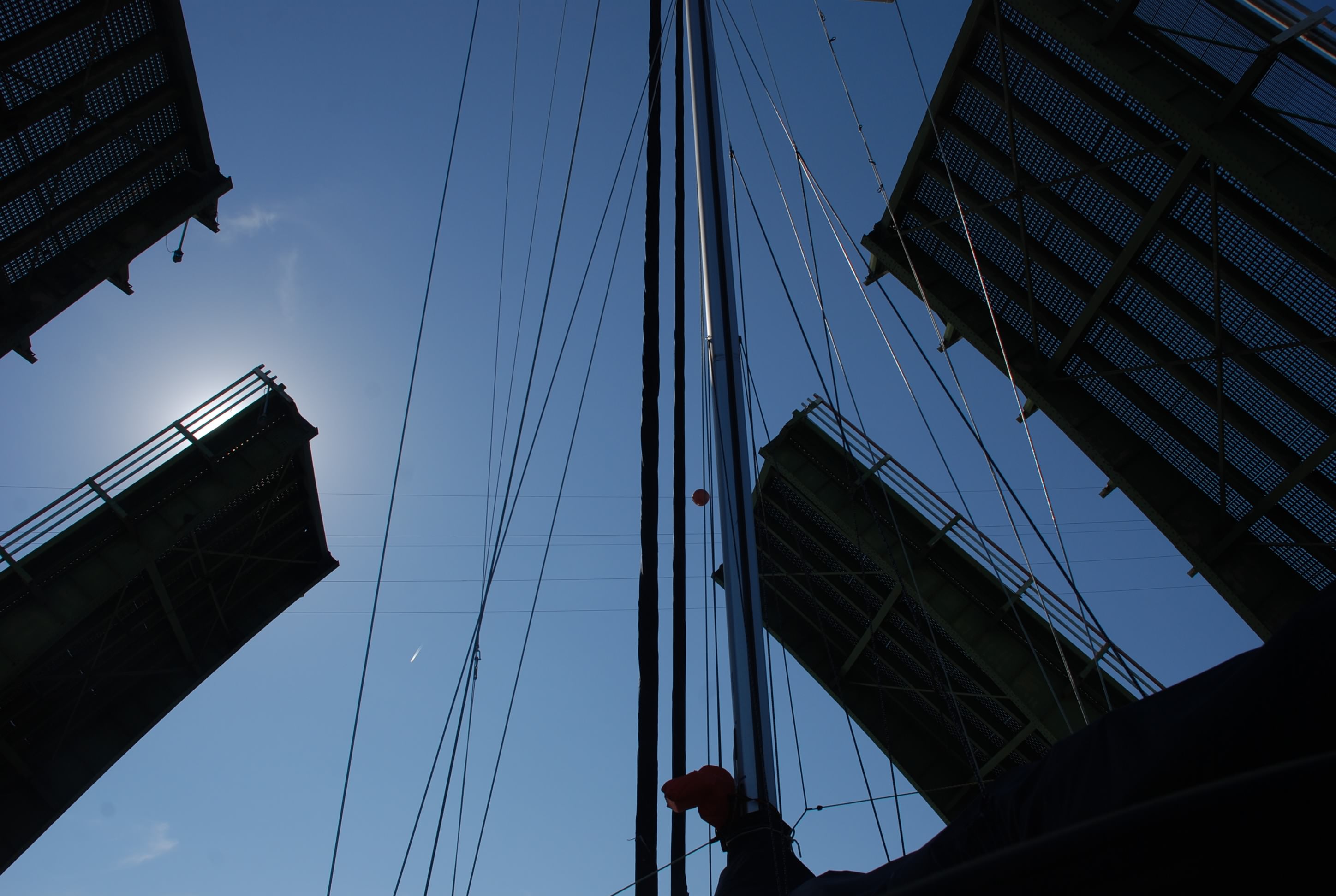
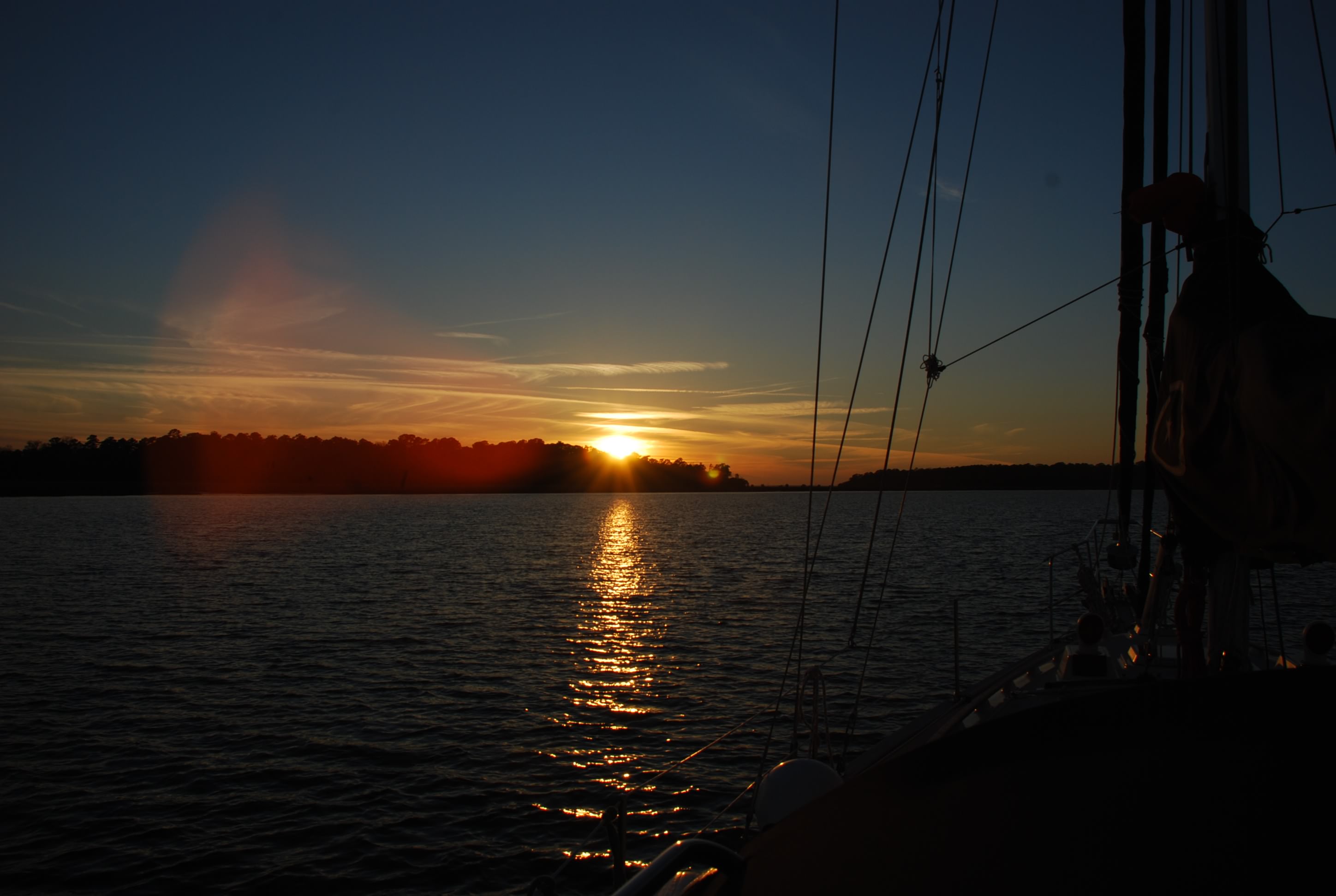
We got to sleep in a bit today. Our major shoal area was primarily Jekyll Creek along Jekyll Island and high tide there was at around 2 PM, so we had to time our arrival for at least 2/3rds tide and rising, which meant getting to the entrance around noon. We were 6 nautical miles away in Brunswick so we left around 10:35 after getting fuel and our free pump out!

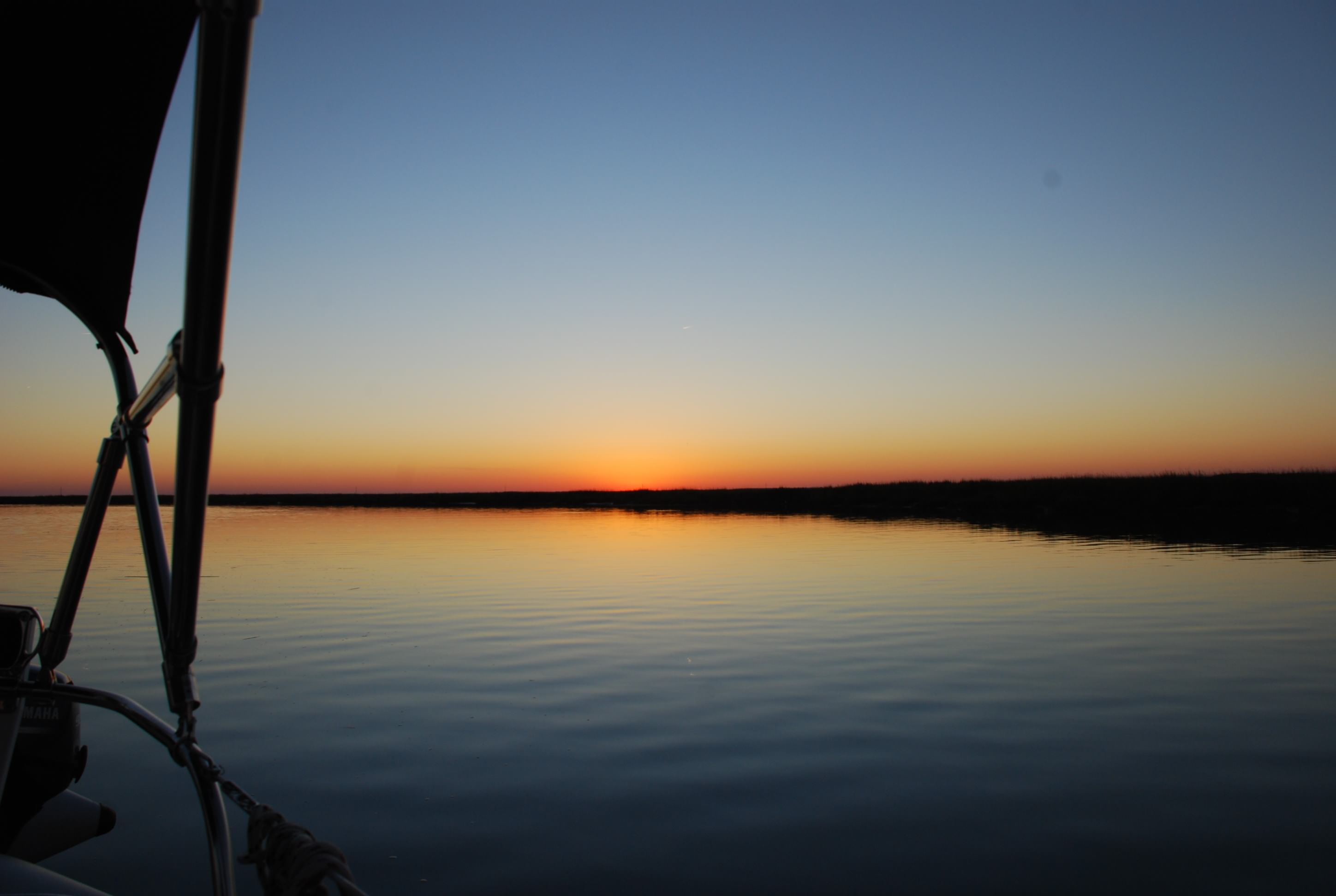
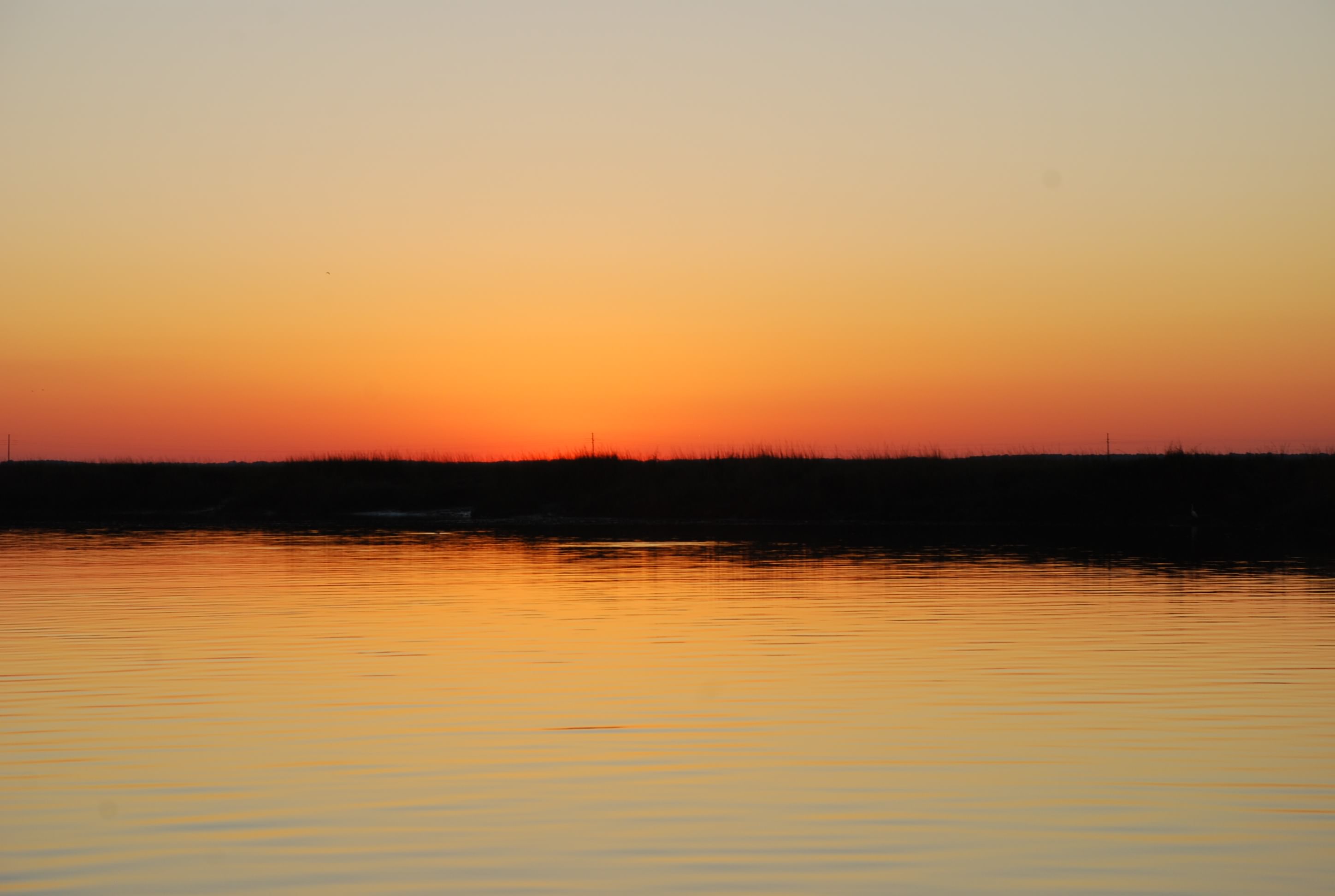
We made it through Jekyll Creek with no incident and had the tide with us almost the entire way to the St Marys ocean inlet, which was past the point where we were going to anchor. I was shocked to have the tide that far with us. Usually it pushes or pulls half way between ocean inlets and then reverses. We made such good time that we made it to Fernandina Beach Florida, which was our target for tomorrow, major coolness! Finally ahead of a schedule.

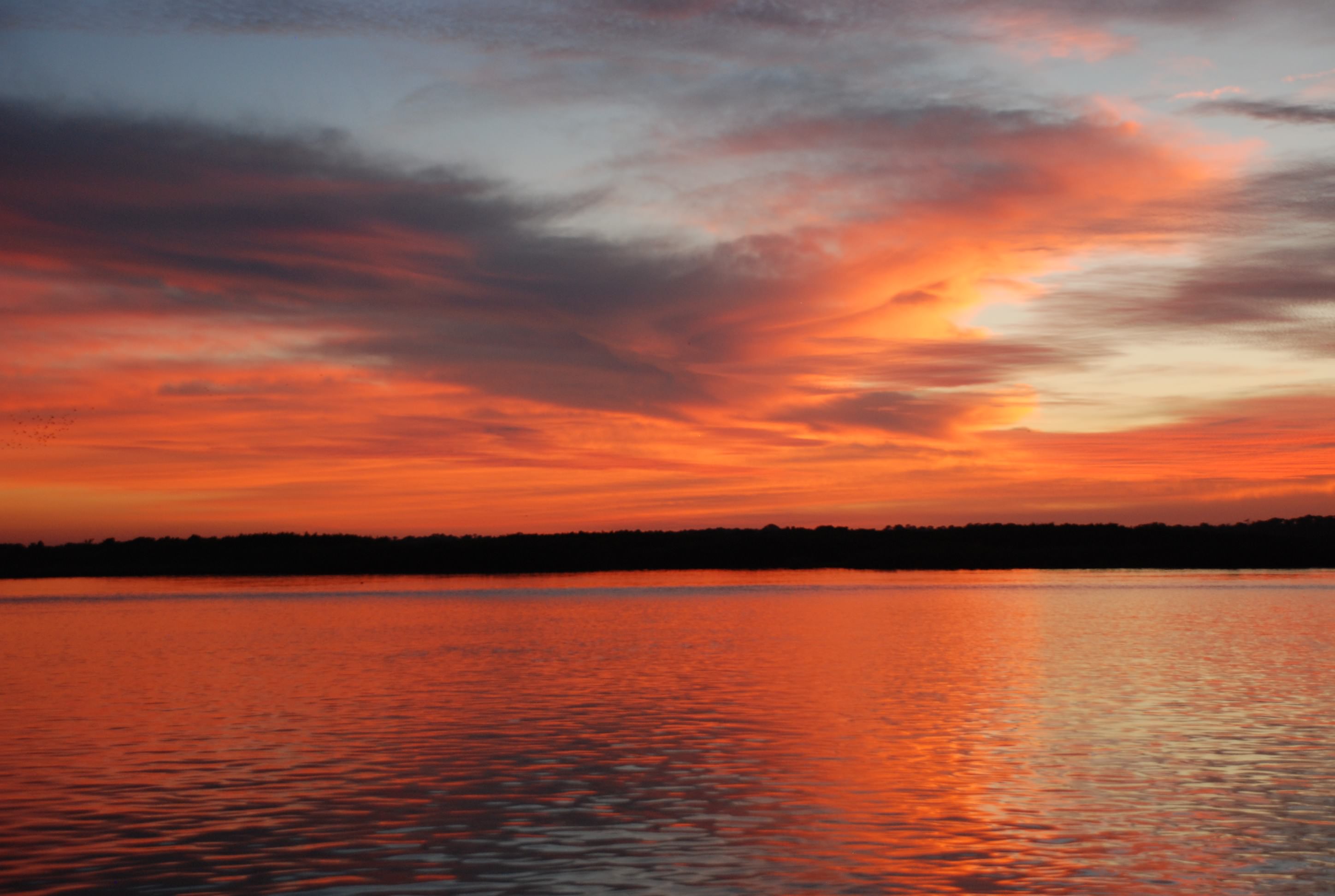
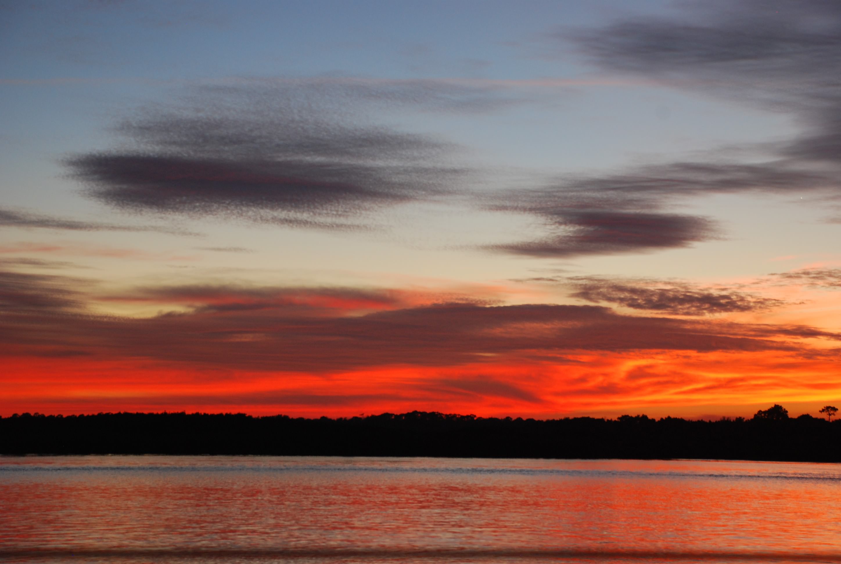
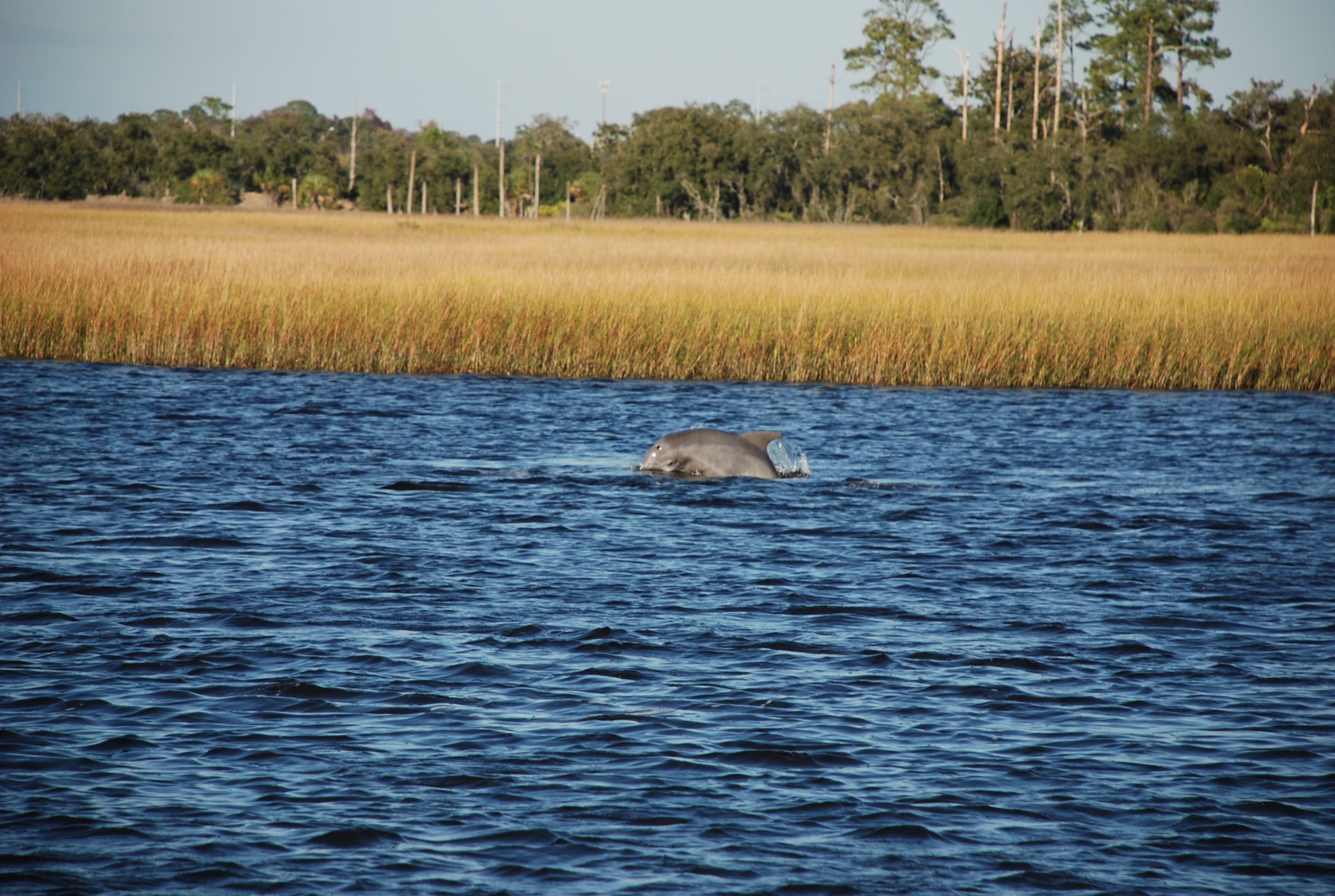
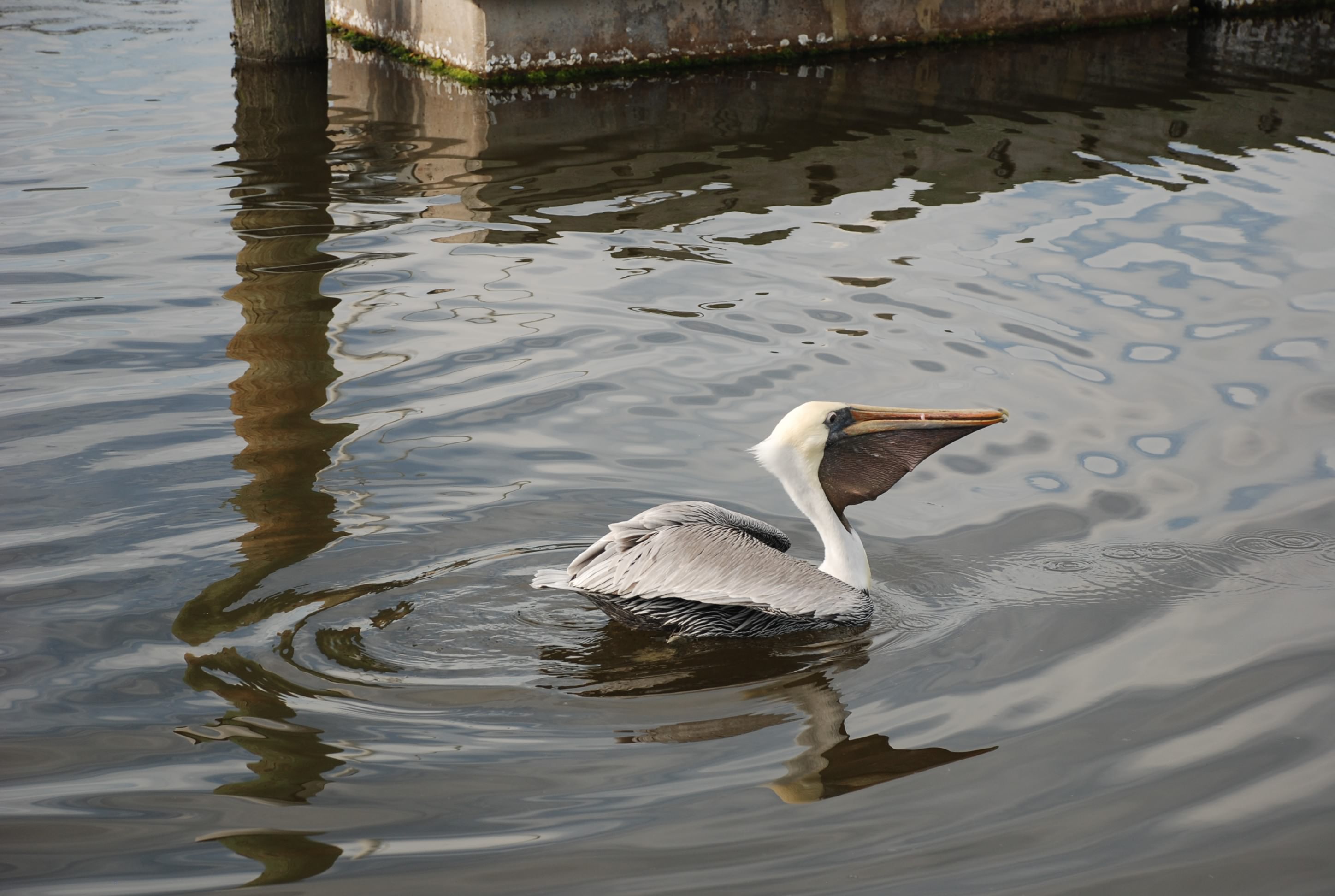
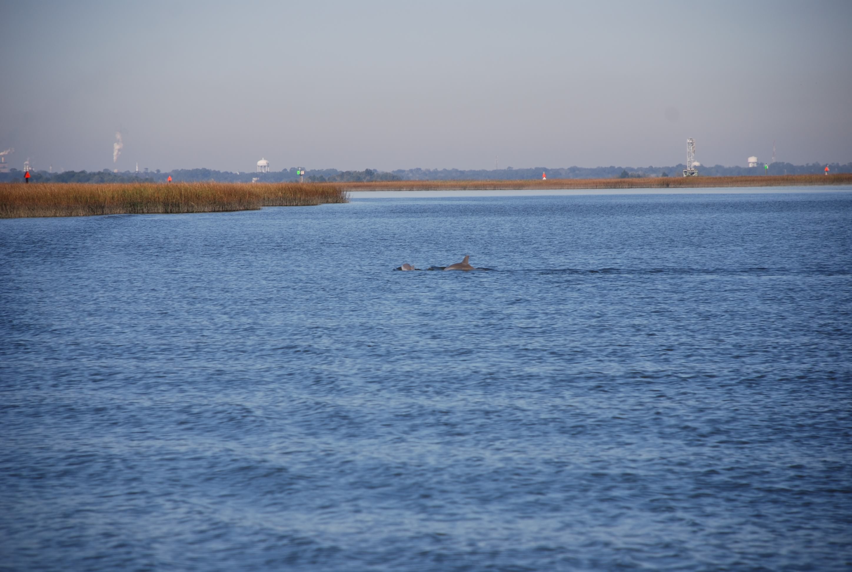
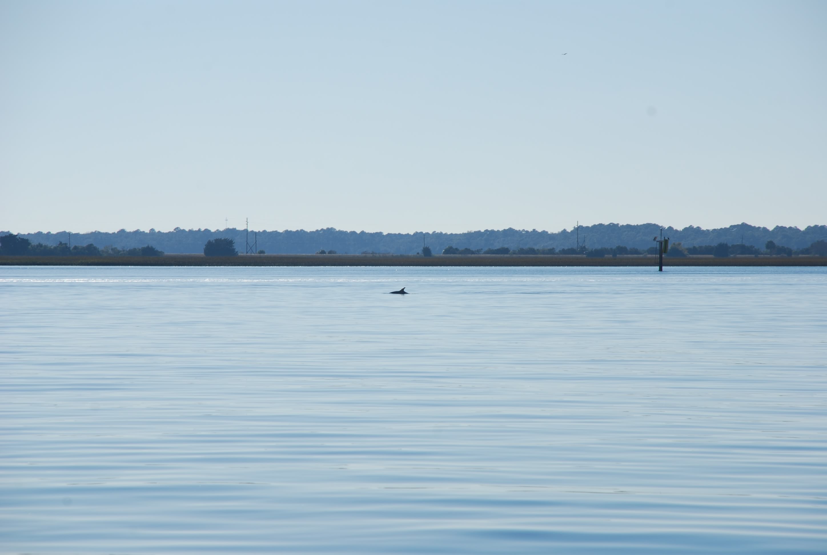
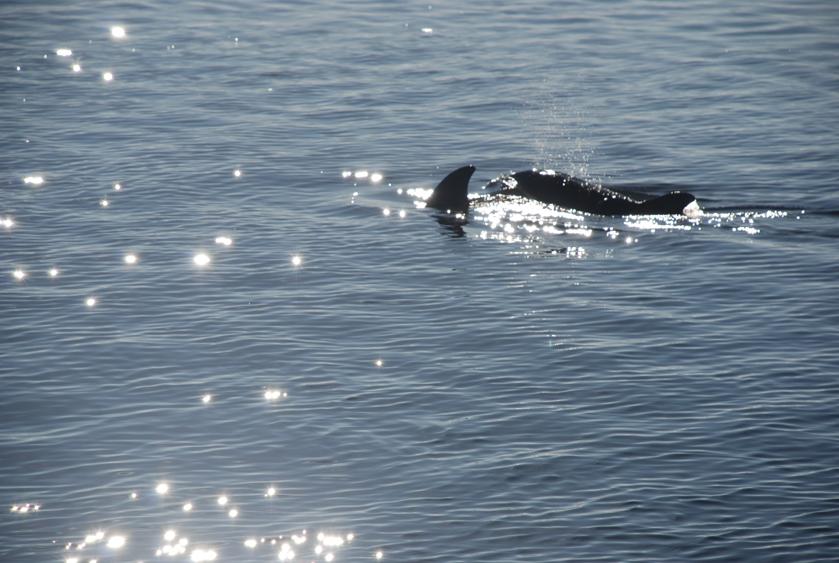
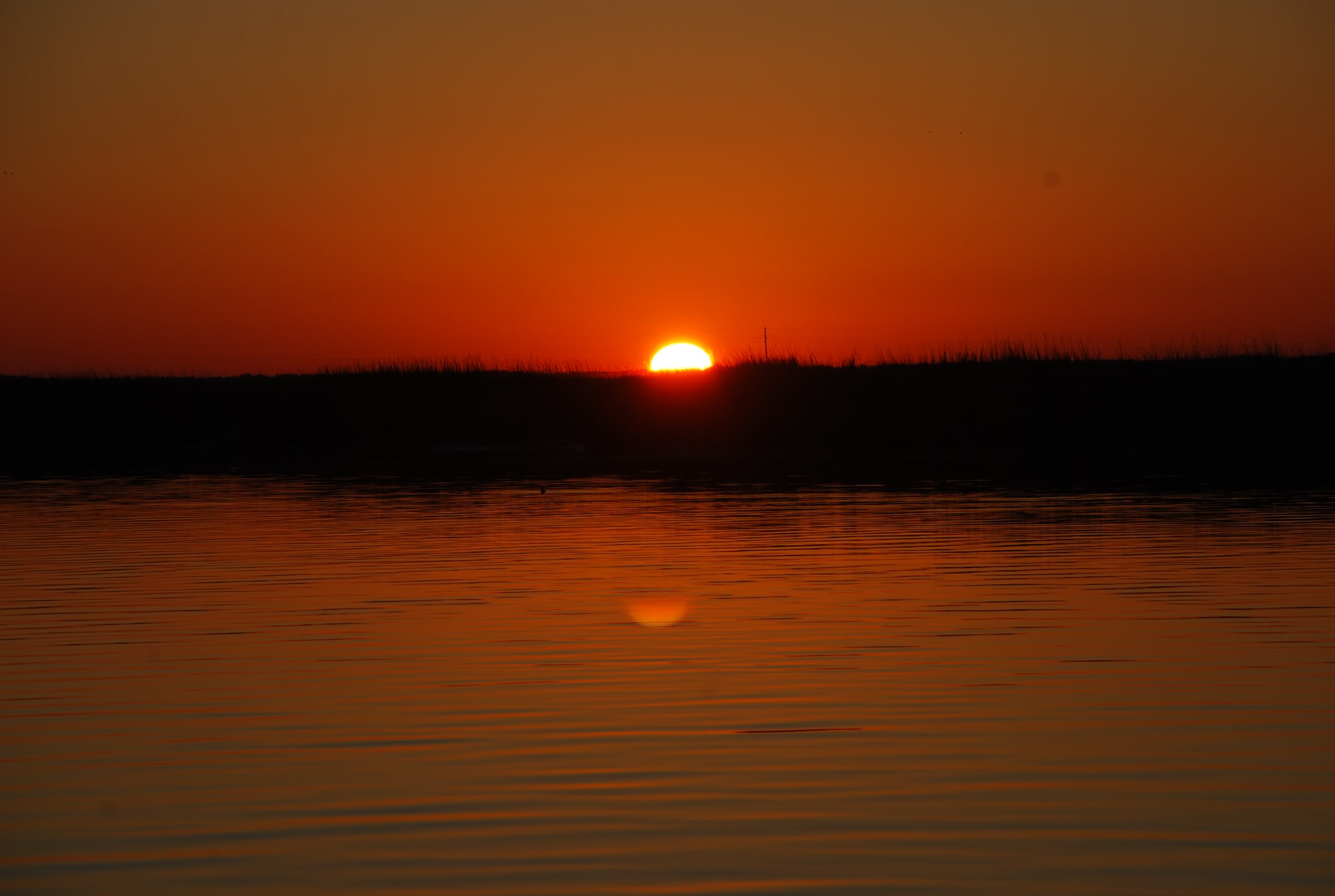
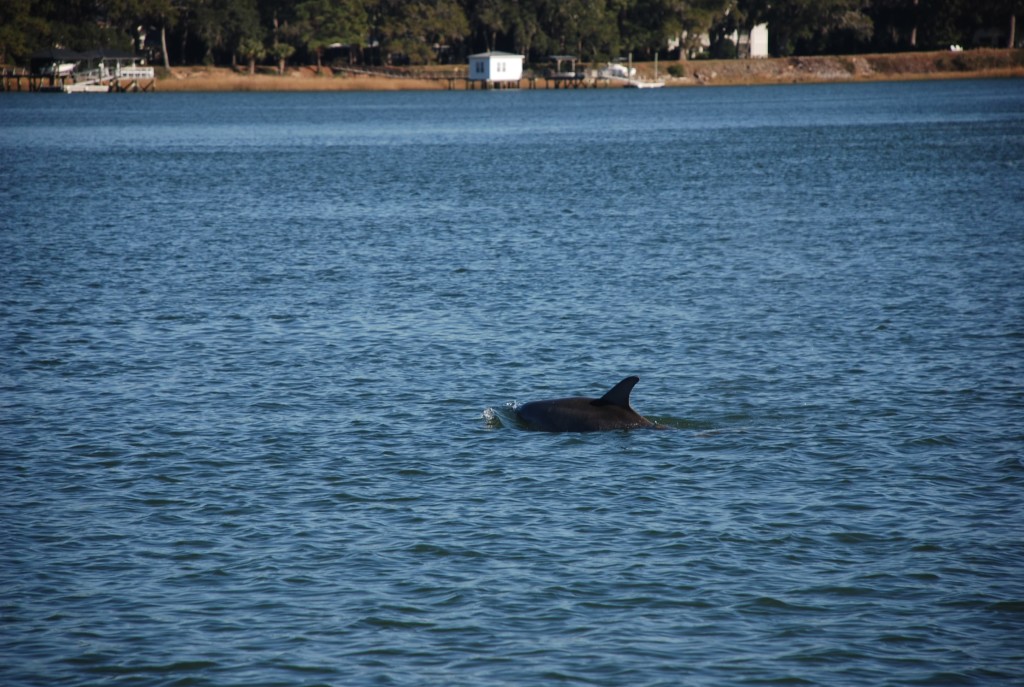
Along the way we saw dolphins…lots of them.
DSC_0366
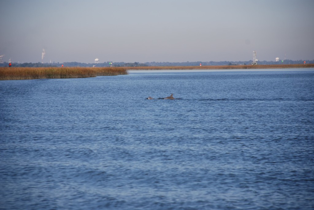
We are seeing more and more every day and we really like that.

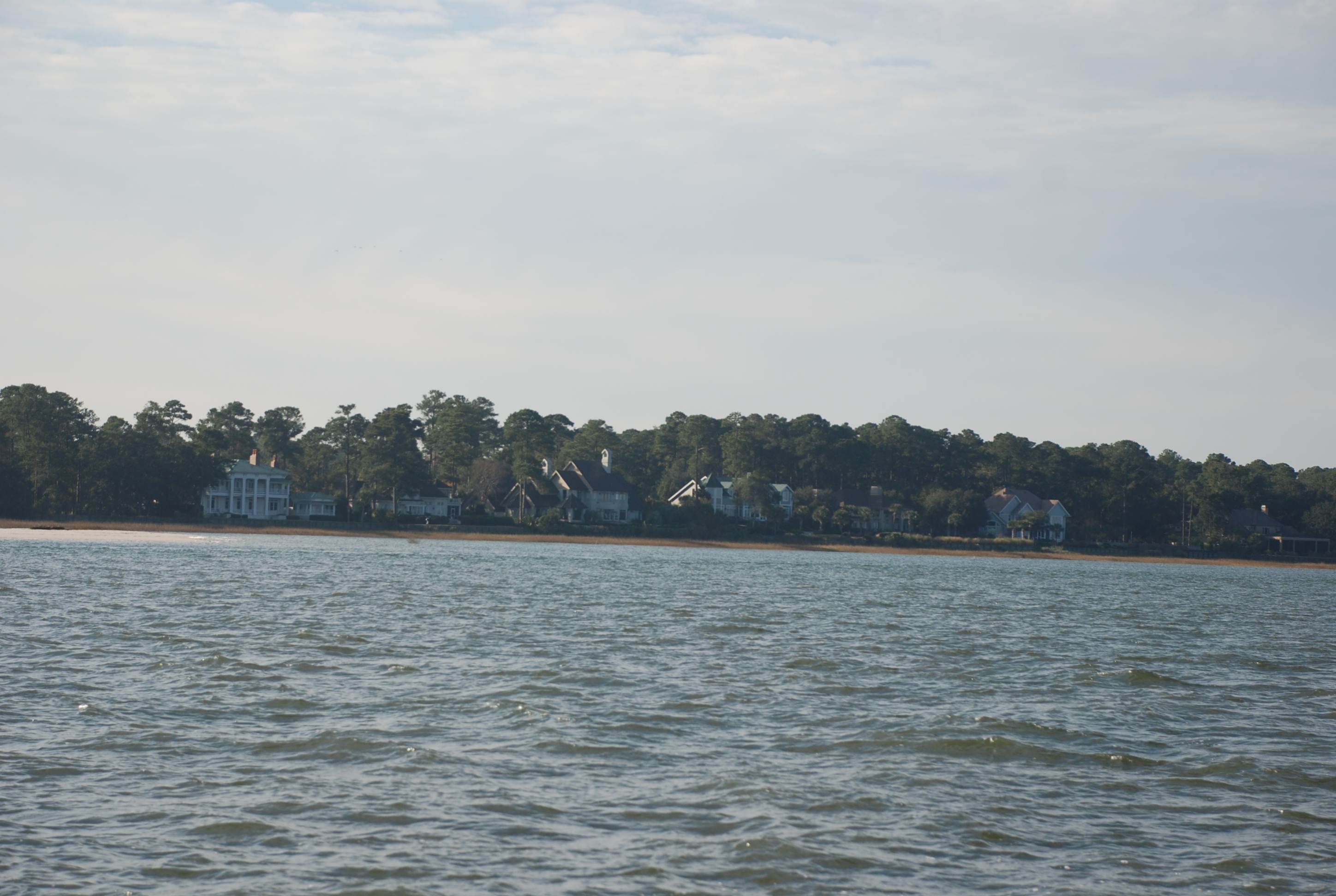
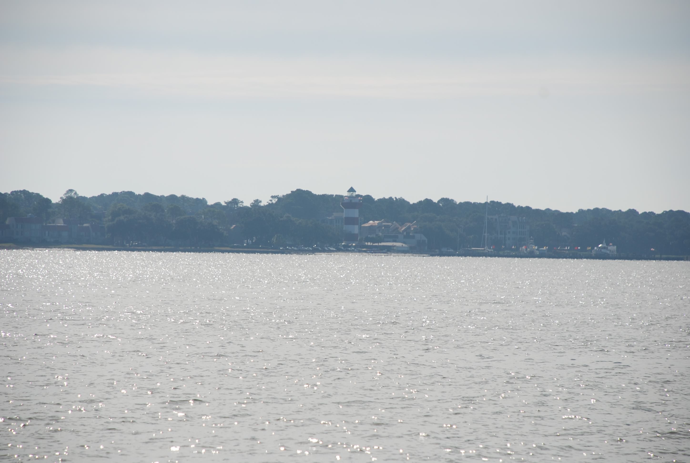
Then we motored past Jekyll Island.
DSC_0370
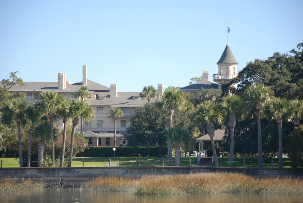
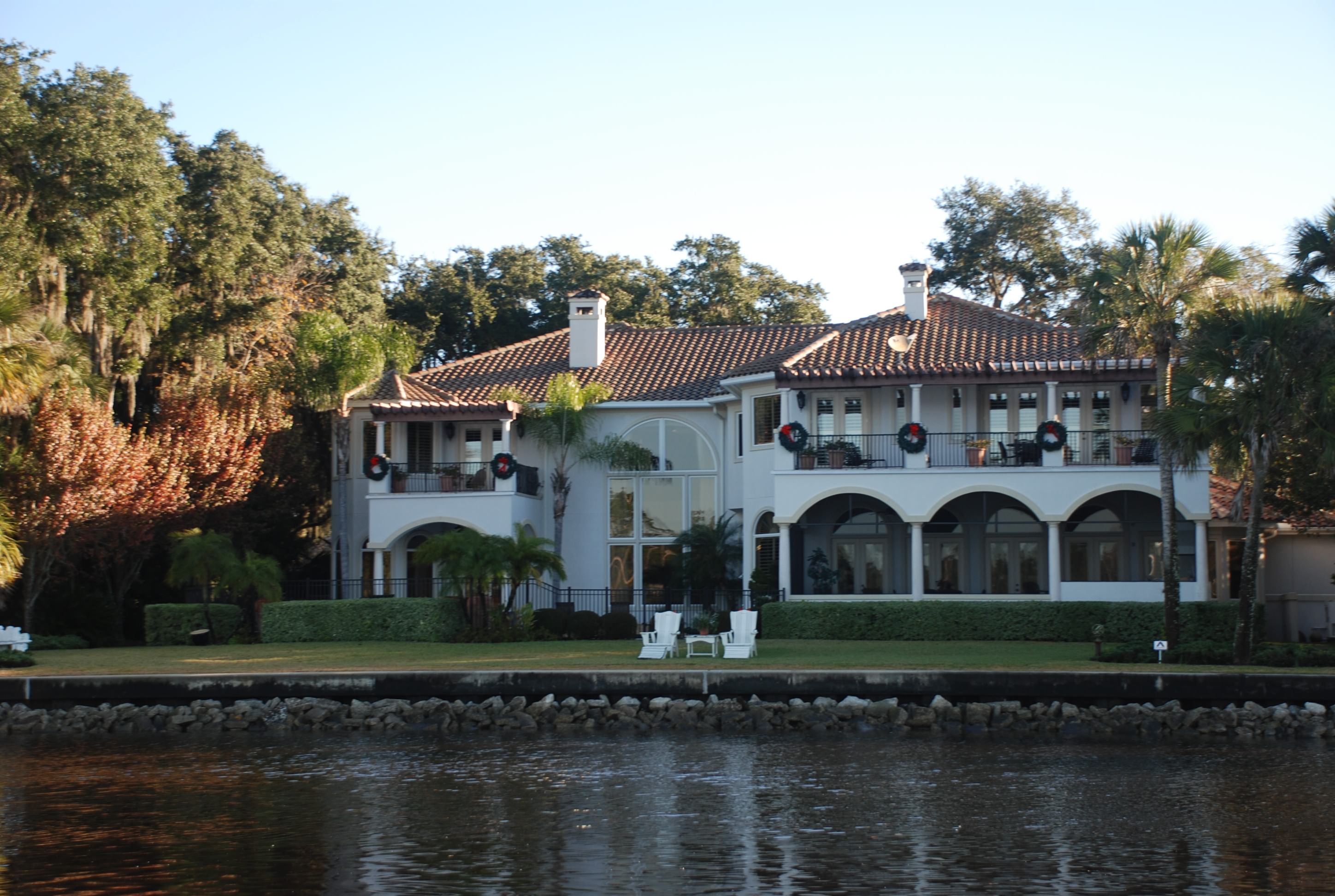
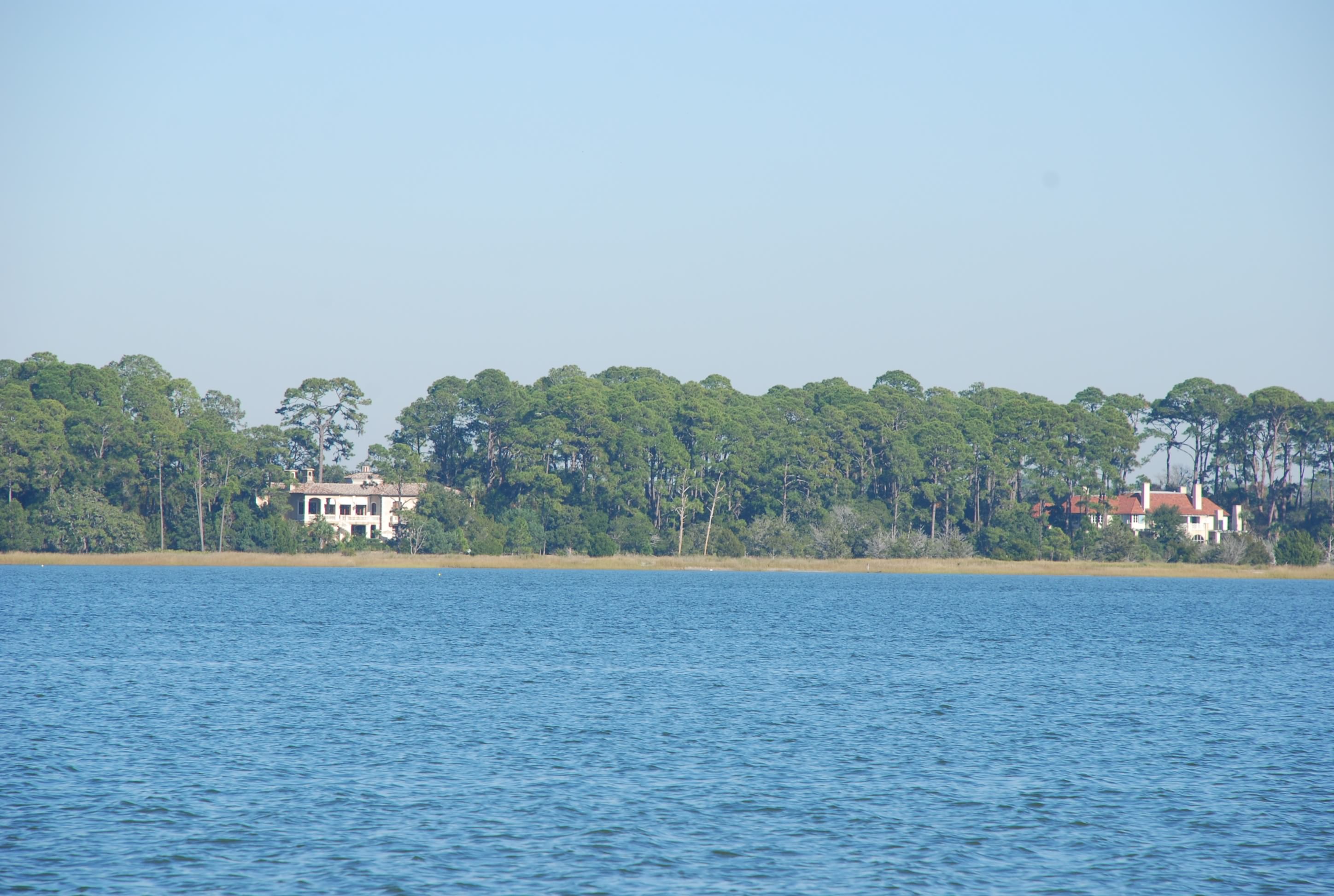
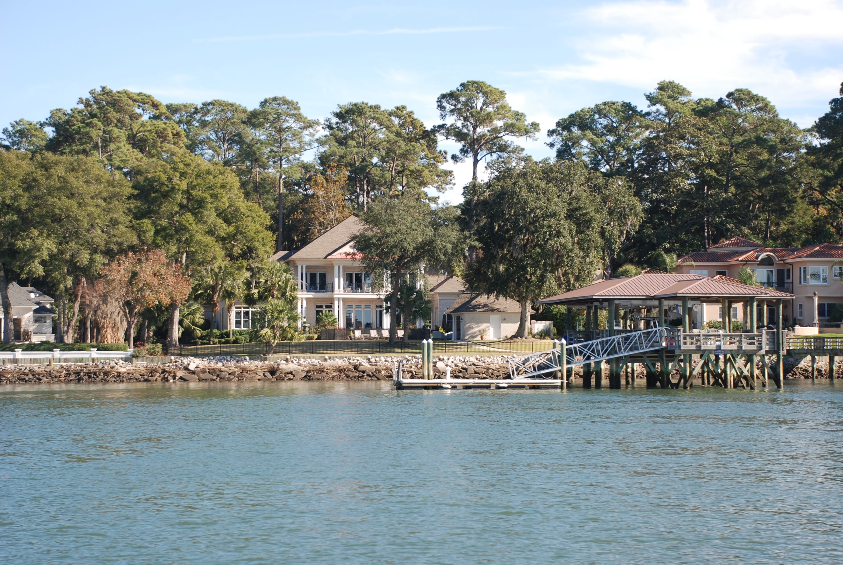
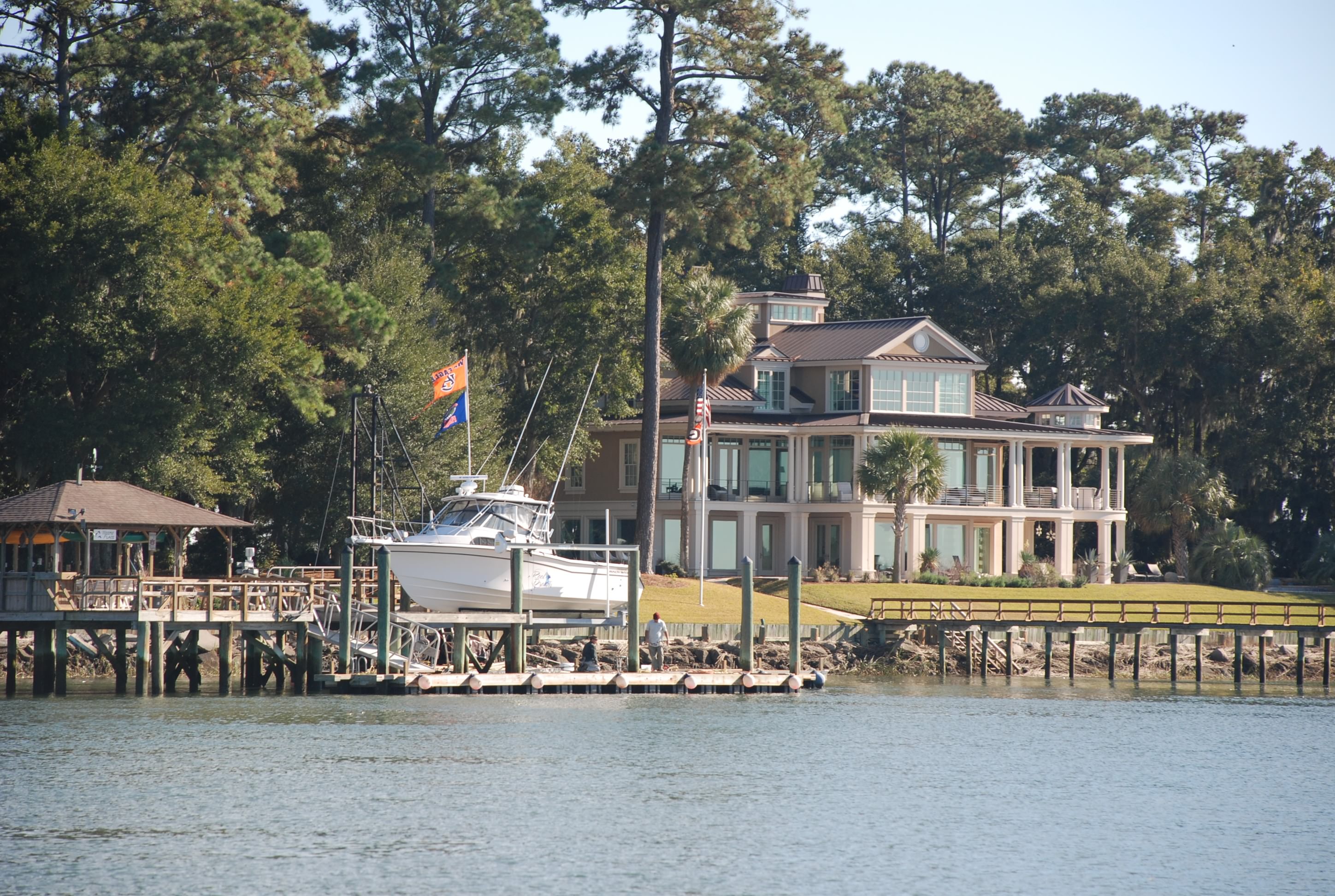
This Island was once a playground for families such as the Rockefellers, Morgans, Goodyears and Vanderbilts, and is now a state park. Under state law, 65 percent of the island must remain undeveloped (very cool, as it is beautiful). In 1885, a french family that owned the island sold it to a group of wealthy northerners for a hunting resort for $125,00. The 60 room clubhouse on Jekyll Creek (which I believe is in the picture above) was officially opened in January 1888. Golf courses, tennis courts and a marina to handle their yachts (the only way to get to the island) soon followed, as well as individual mansion-sized cottages. During the “club era”, a group of influential men met secretly in 1908 form what would become a modern monetary system for the United States that led to the formation of the Federal Reserve System. In 1915, Jekyll Island took part in the first transcontinental telephone call. (This paragraph is courtesy of Waterway Guide 2014).

Some cruisers that we met tonight said they paid for a historical tour of the island and it was fascinating. Might have to check that out on the way back north in the Spring.

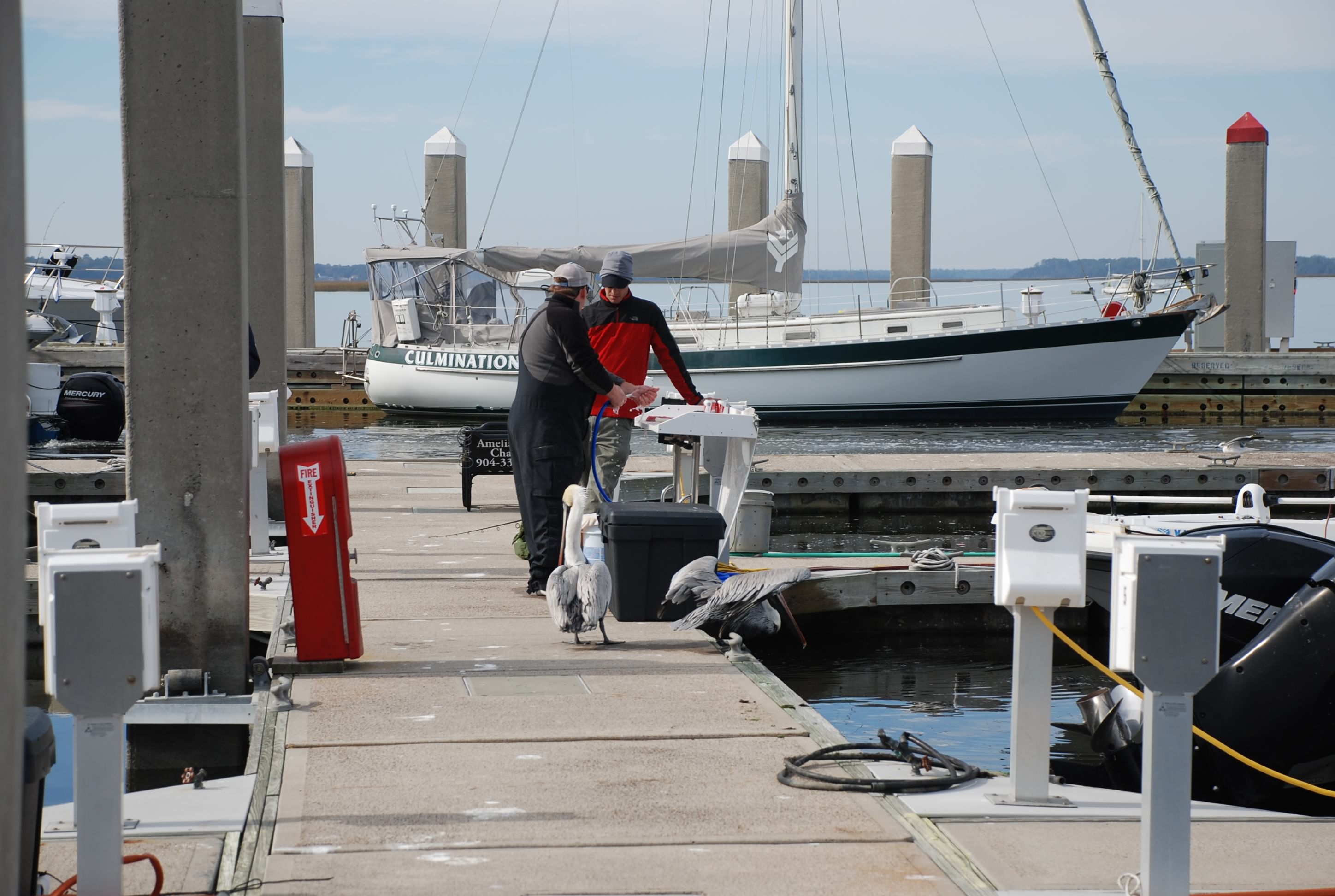
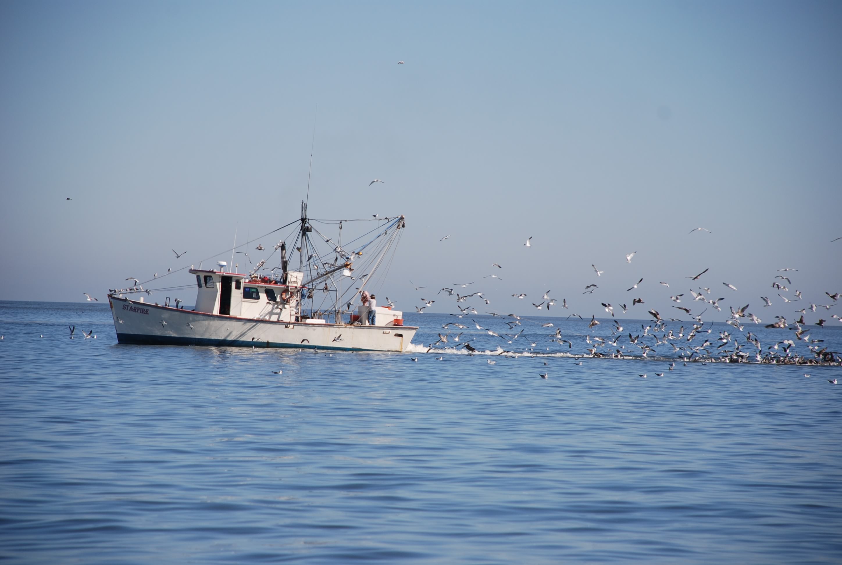
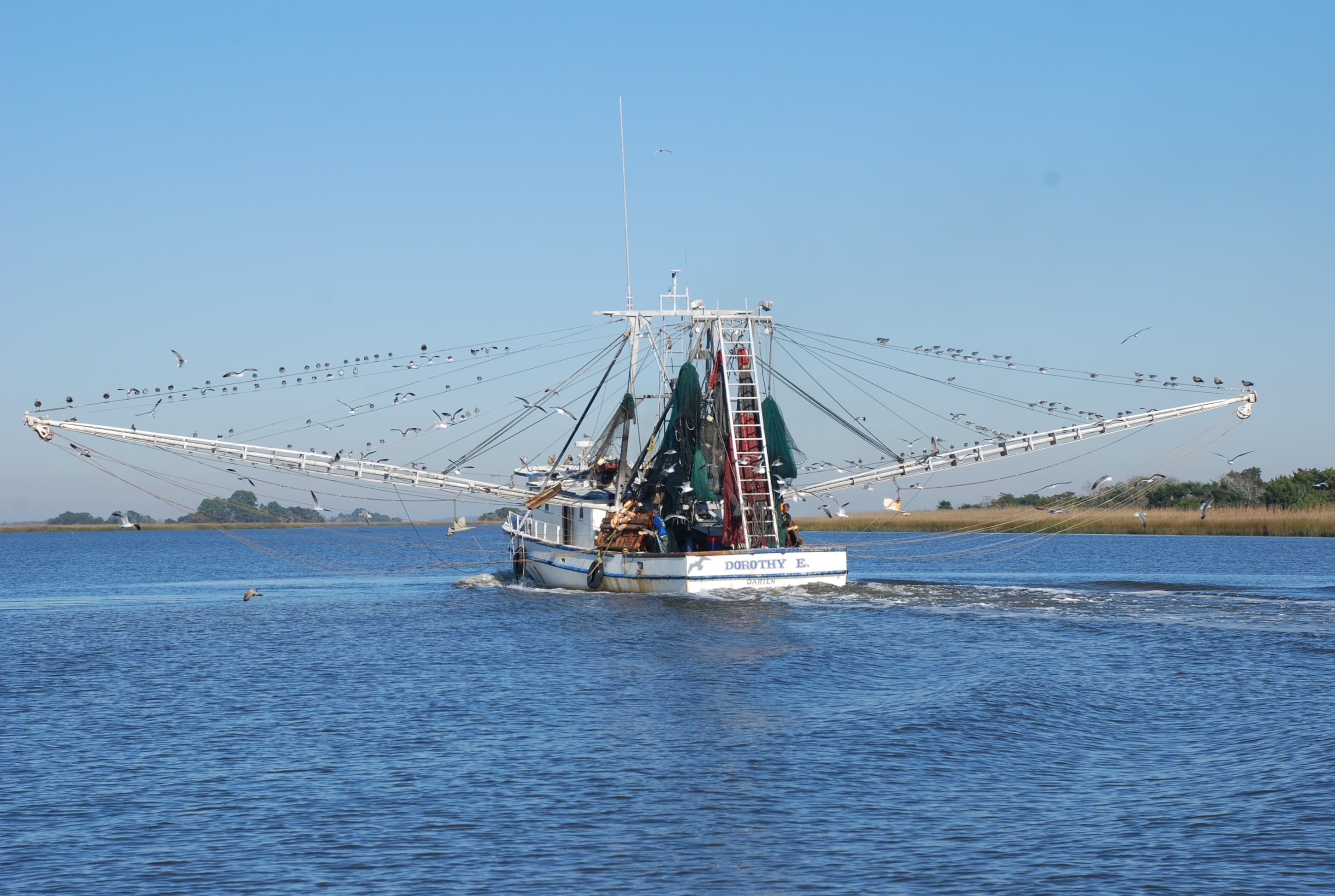
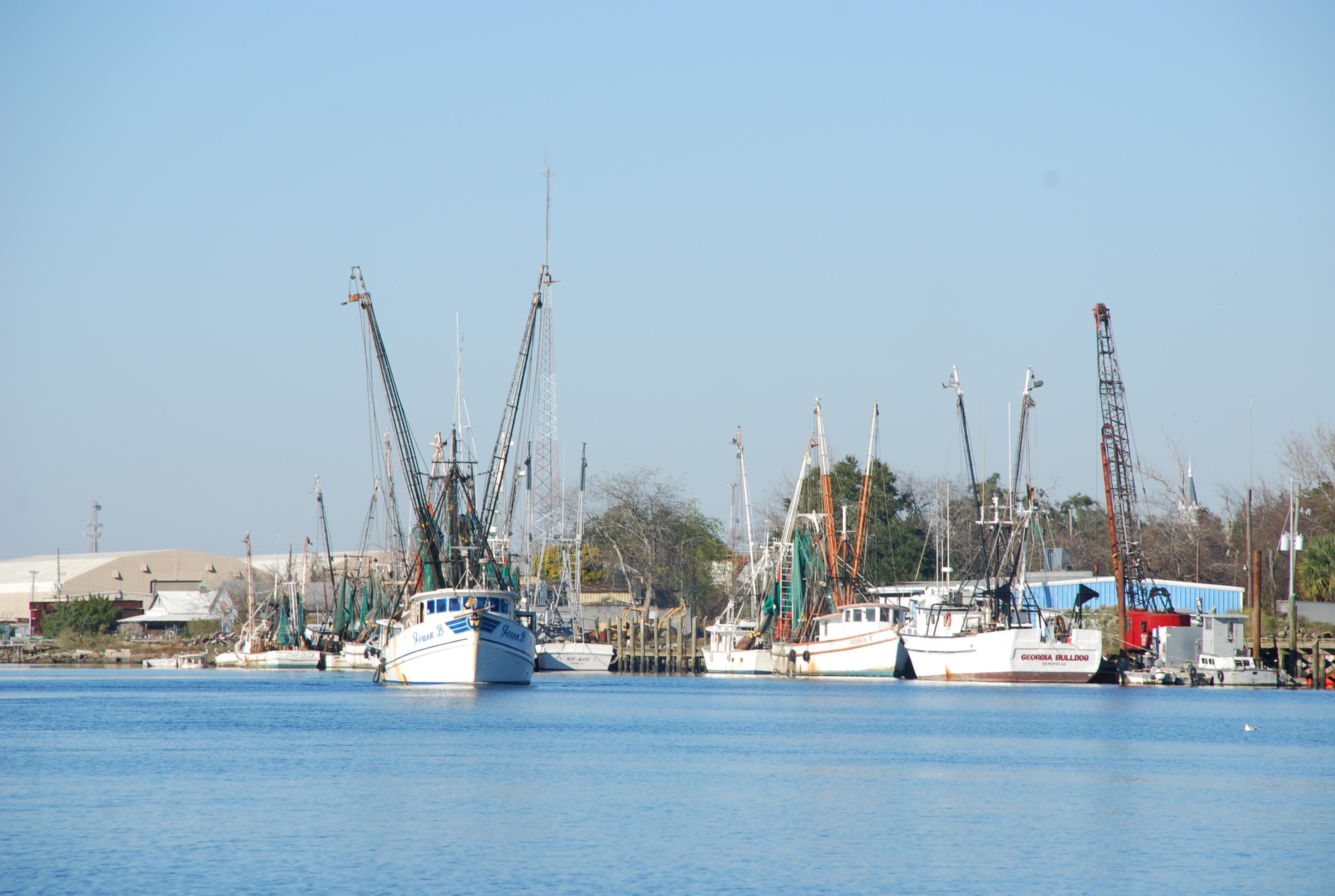
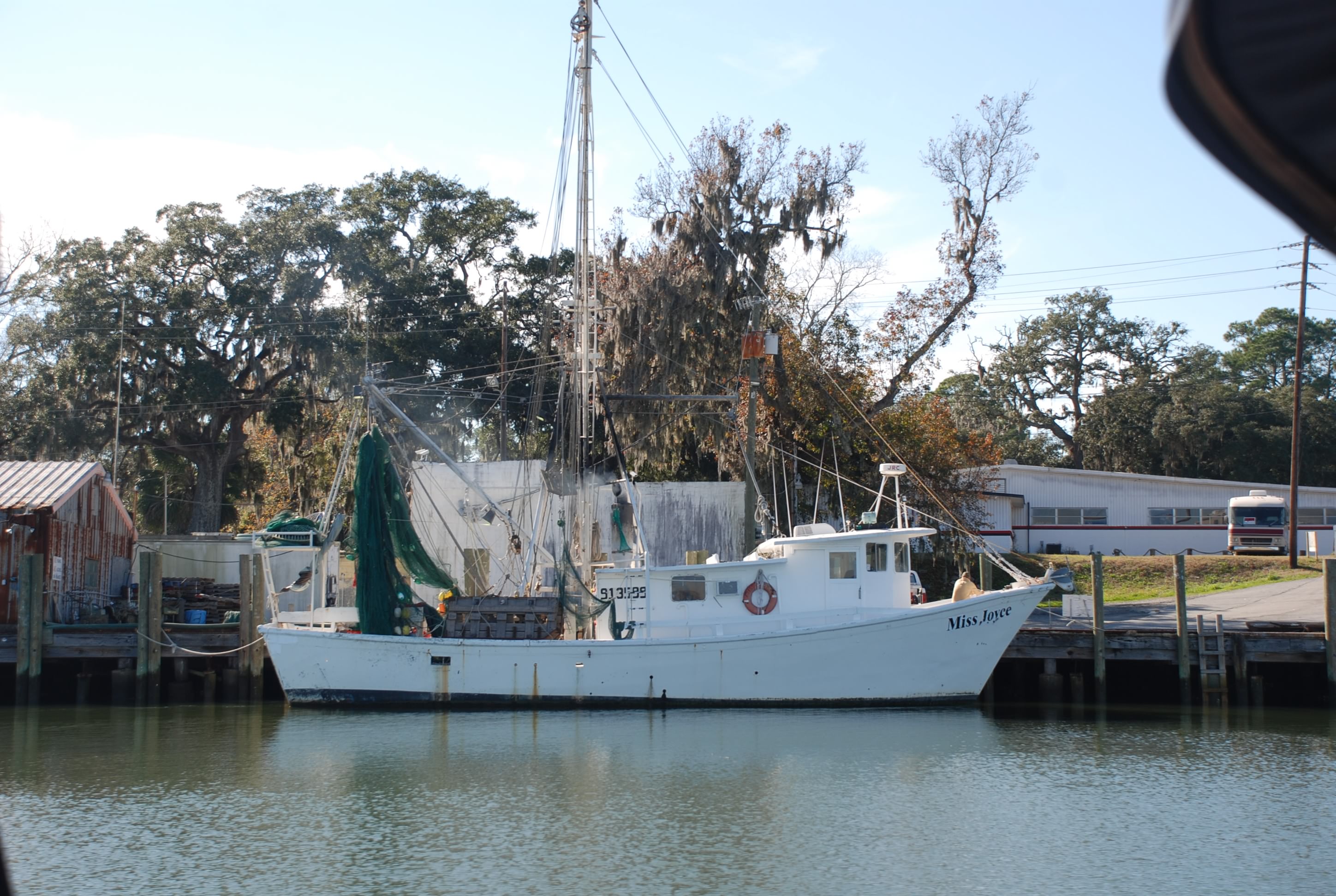
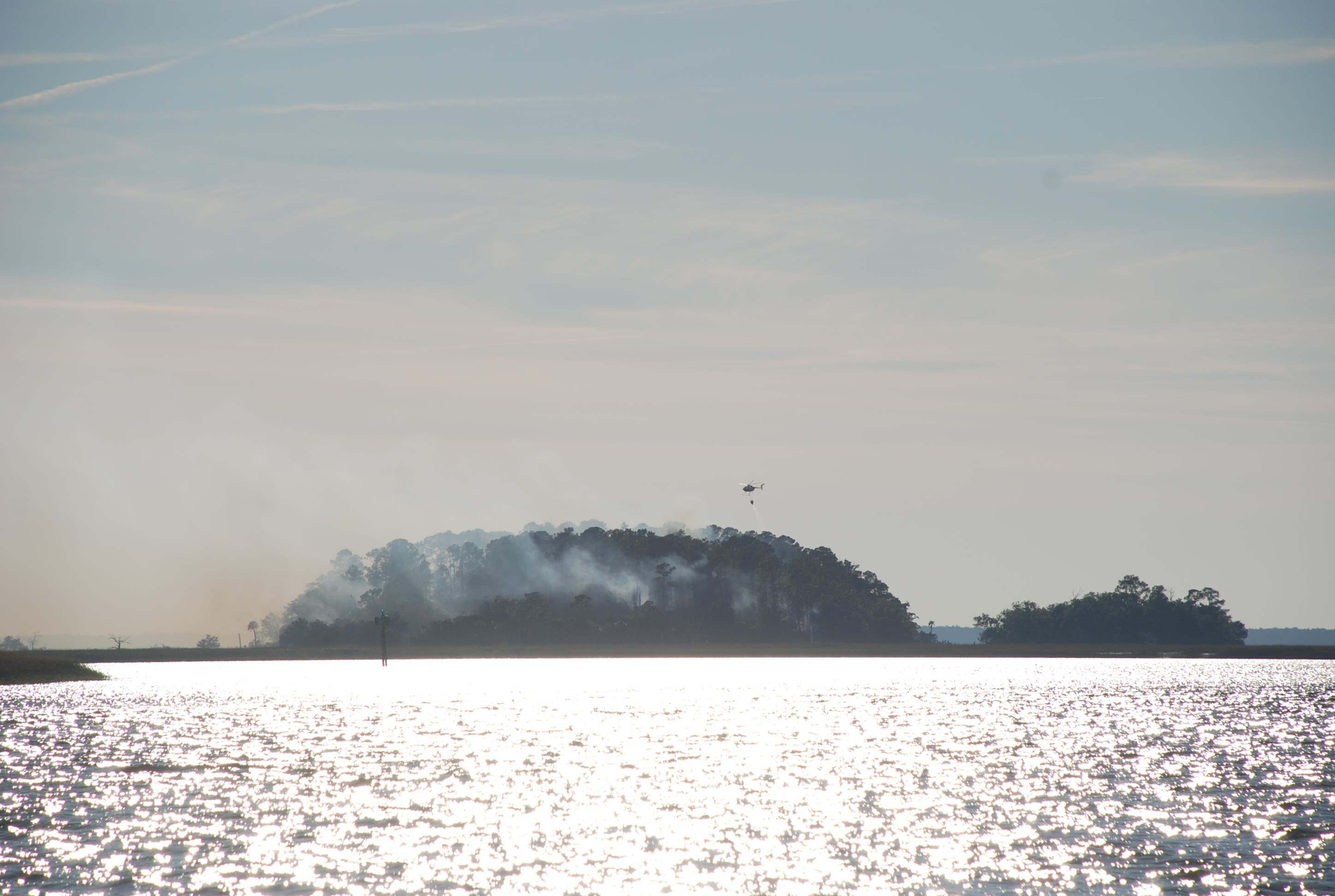
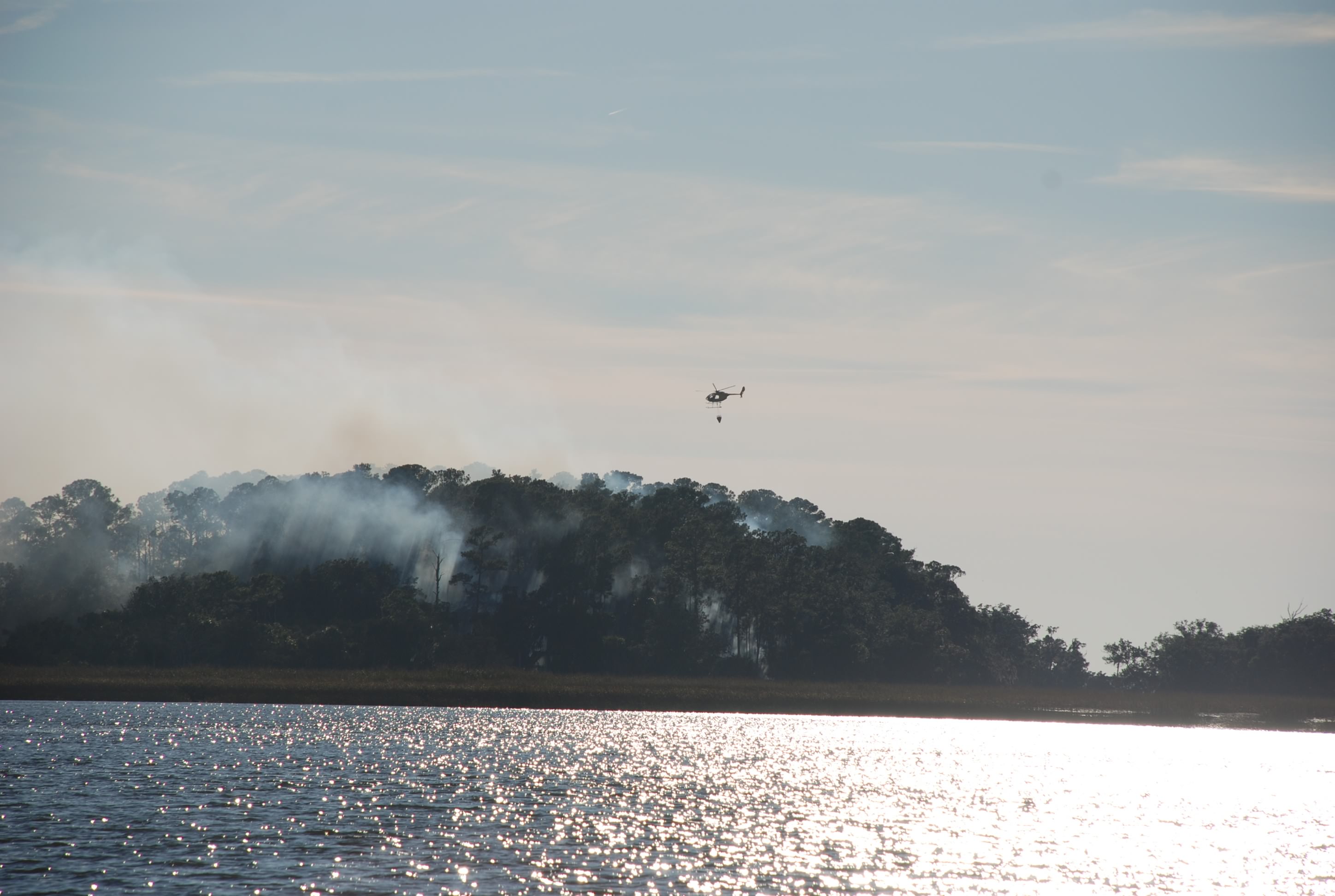
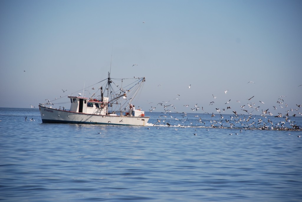
In Jekyll Sound we saw this shrimping boat doing it’s thing. Look at all of the birds trying to get a free meal! Lots of poop…lots of poop!
DSC_0390

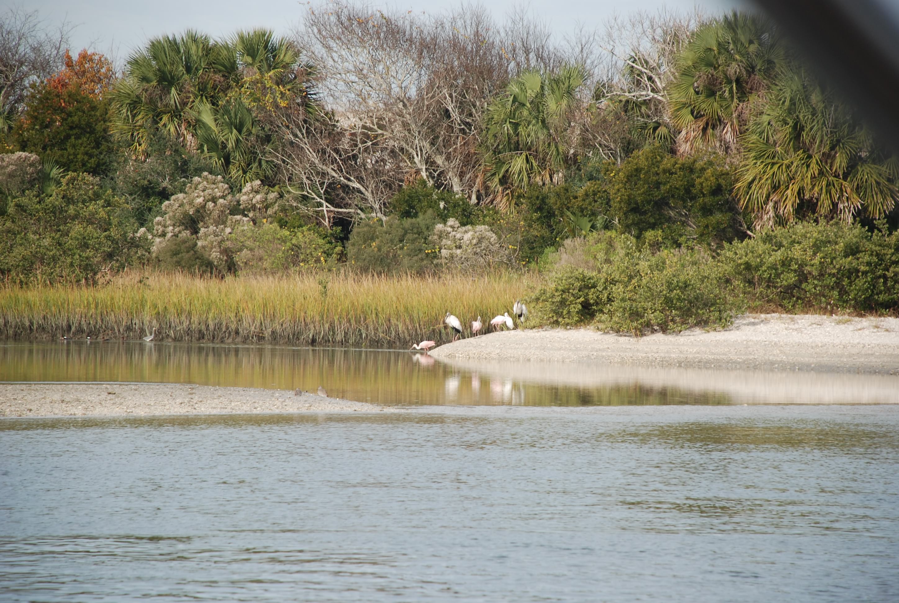
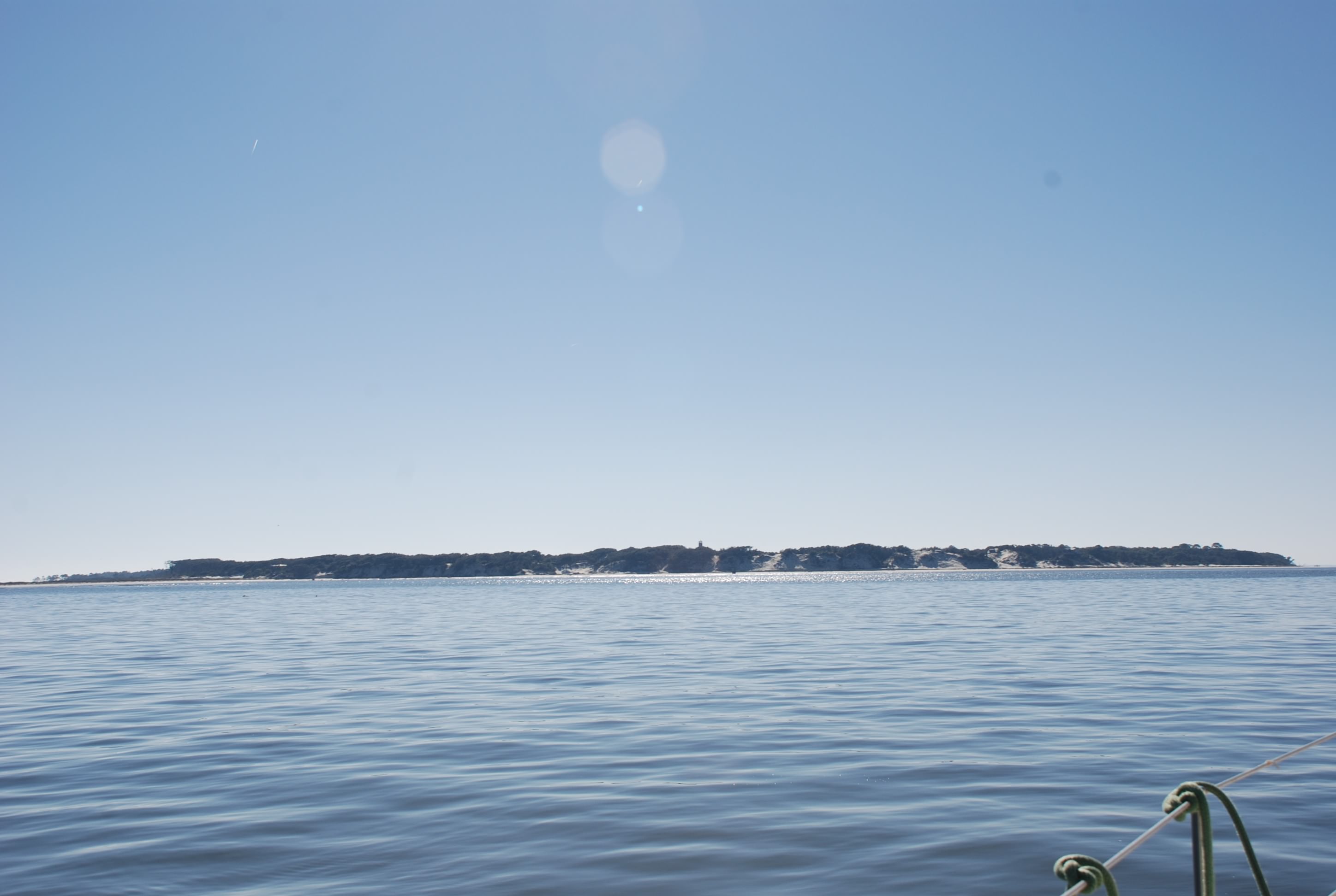
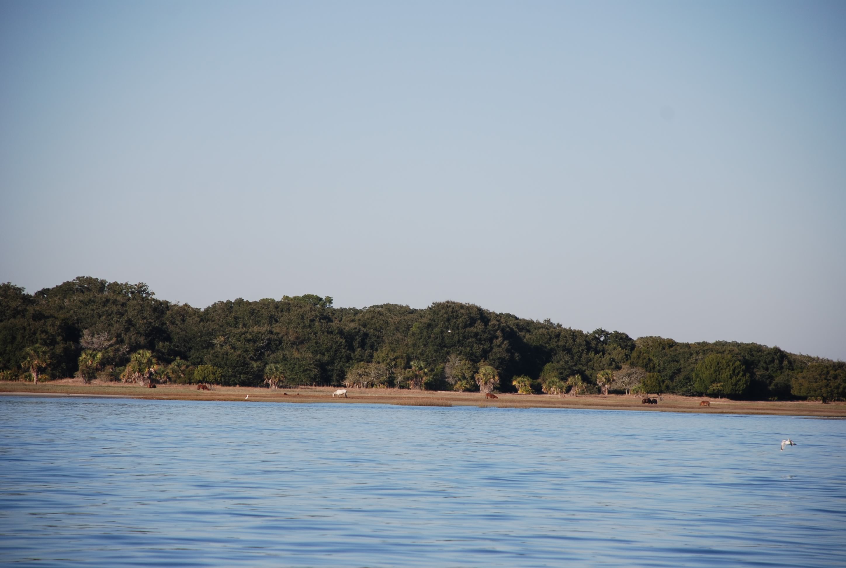
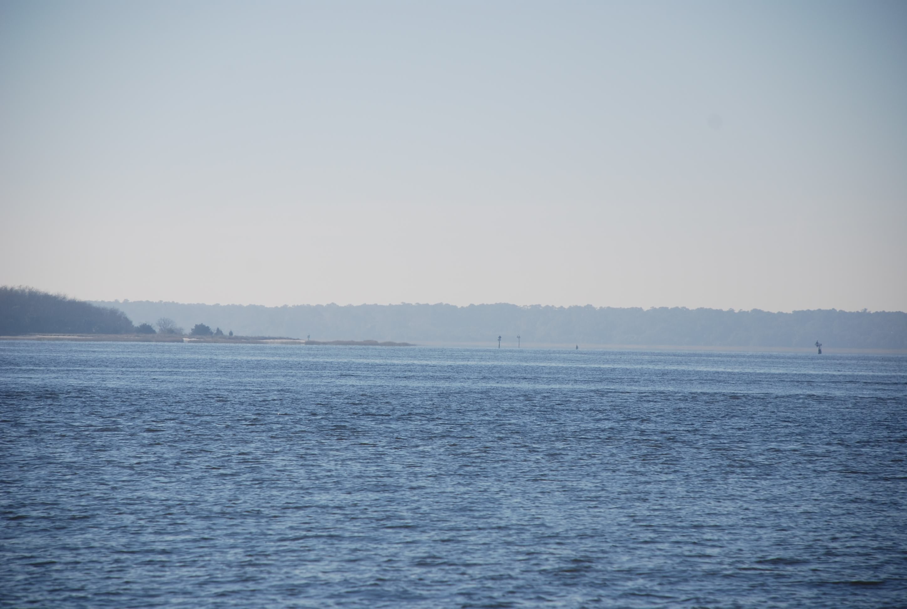
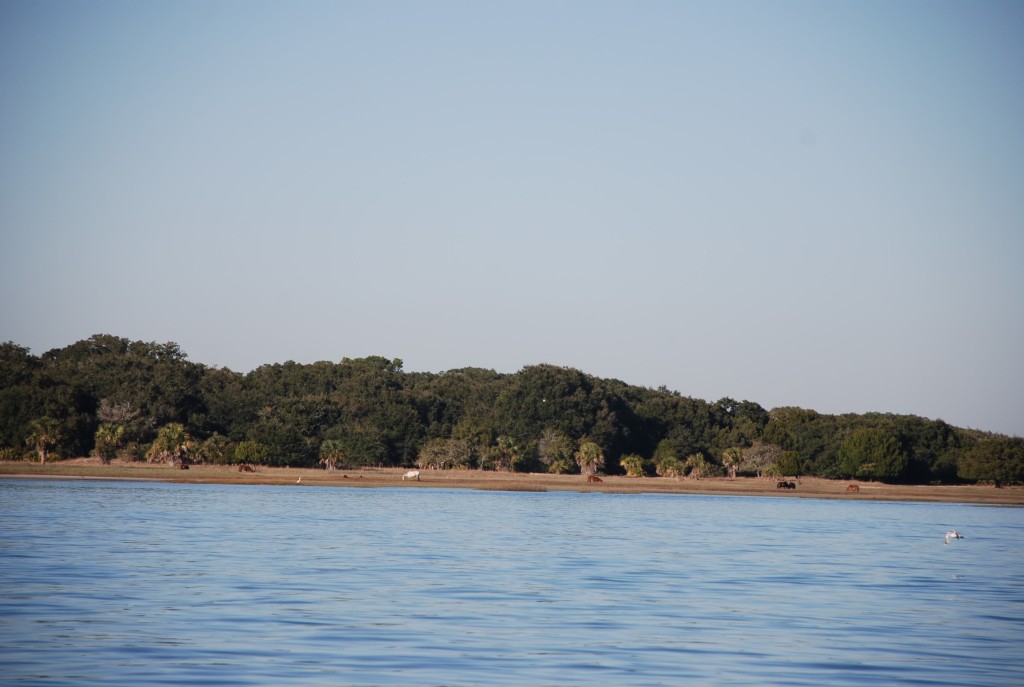
South of Jekyll Island is Cumberland Island. It contains 36,000 acres of habitat and the only access is via water. It was absolutely beautiful from the water.
DSC_0393
DSC_0398

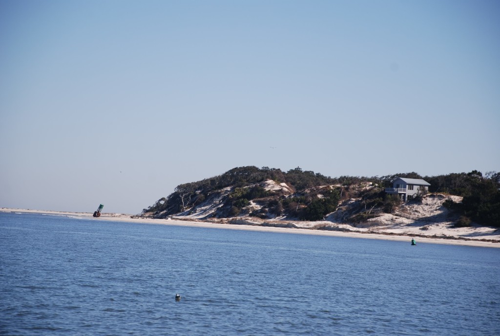
Check out the wild horses that inhabit the island:
DSC_0415

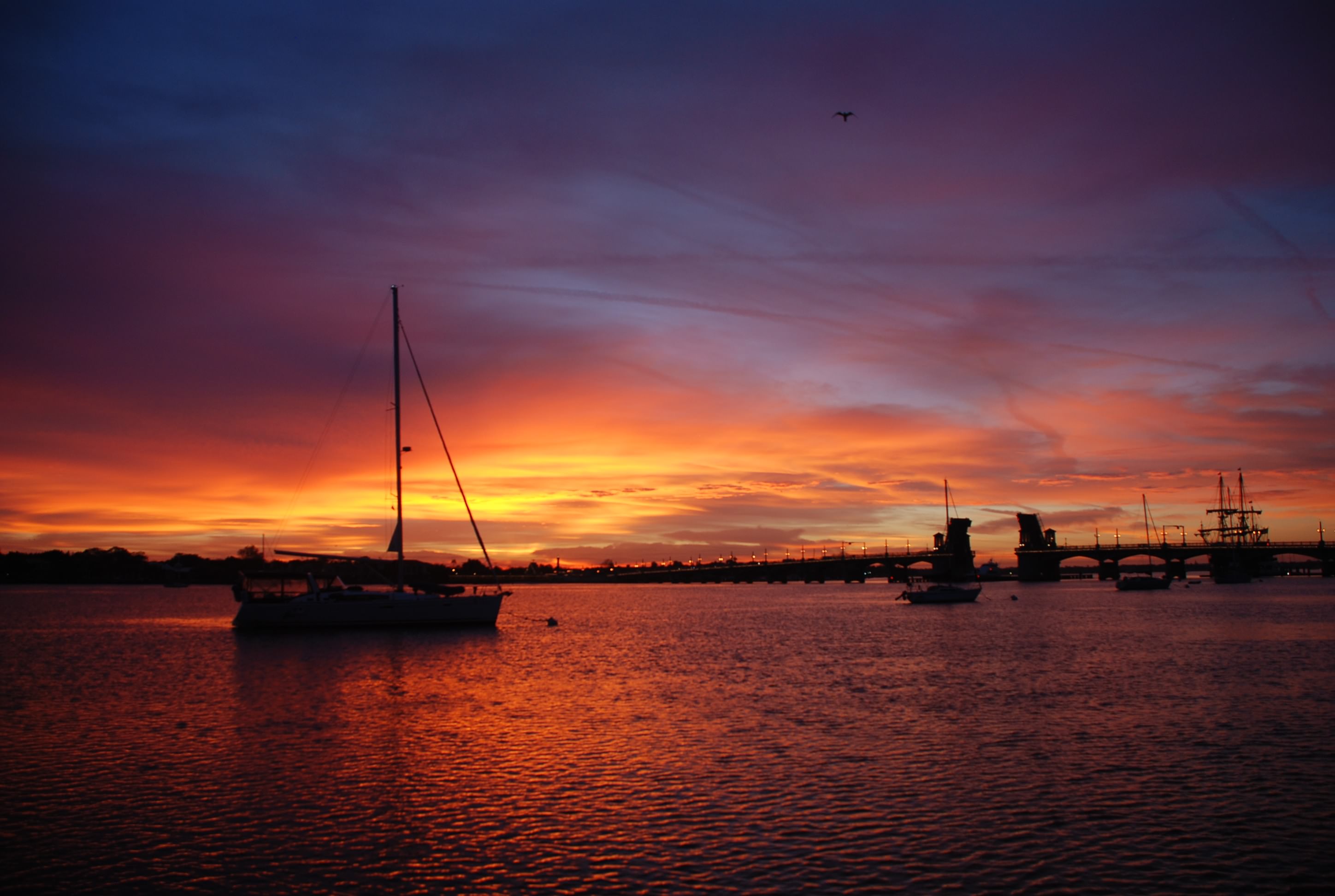
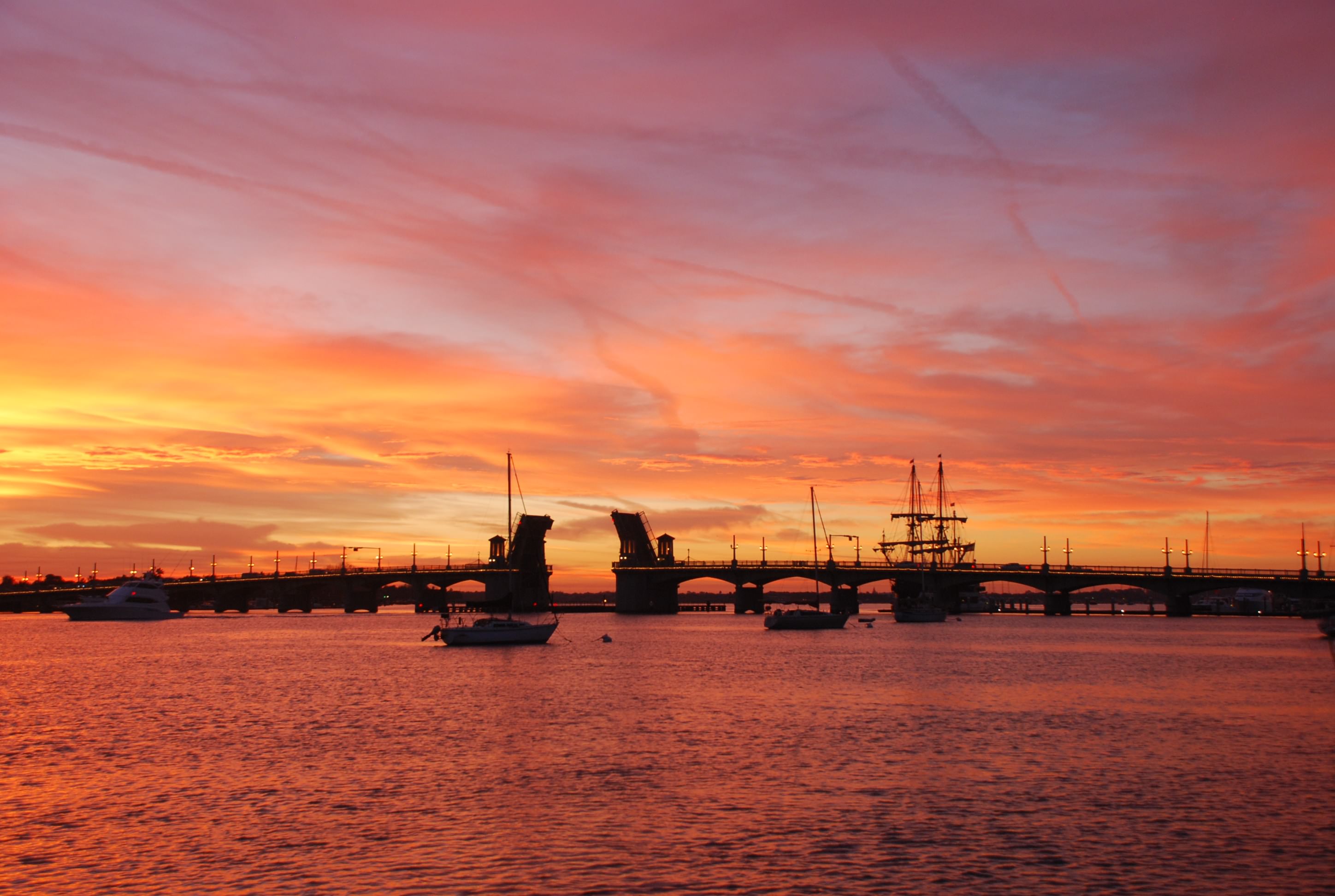
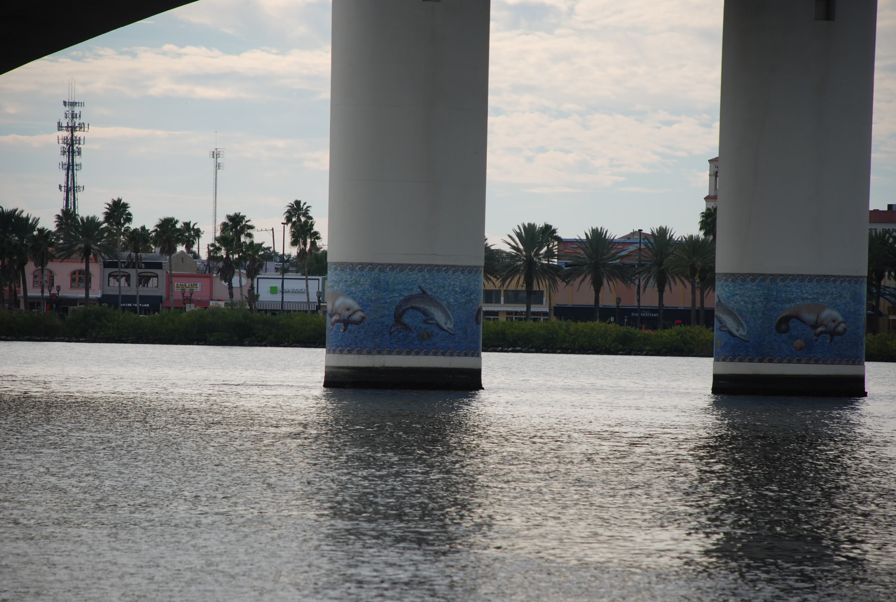
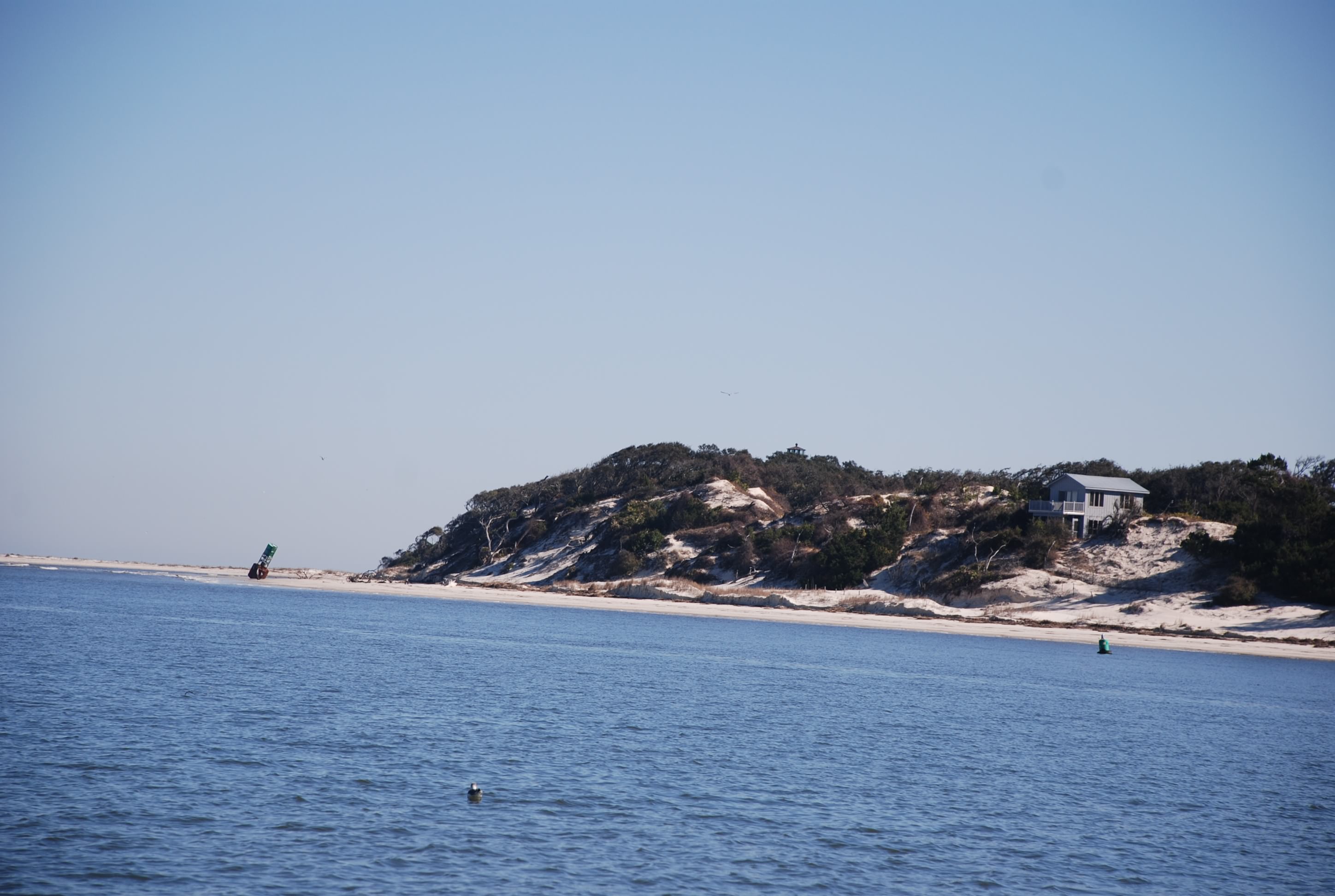
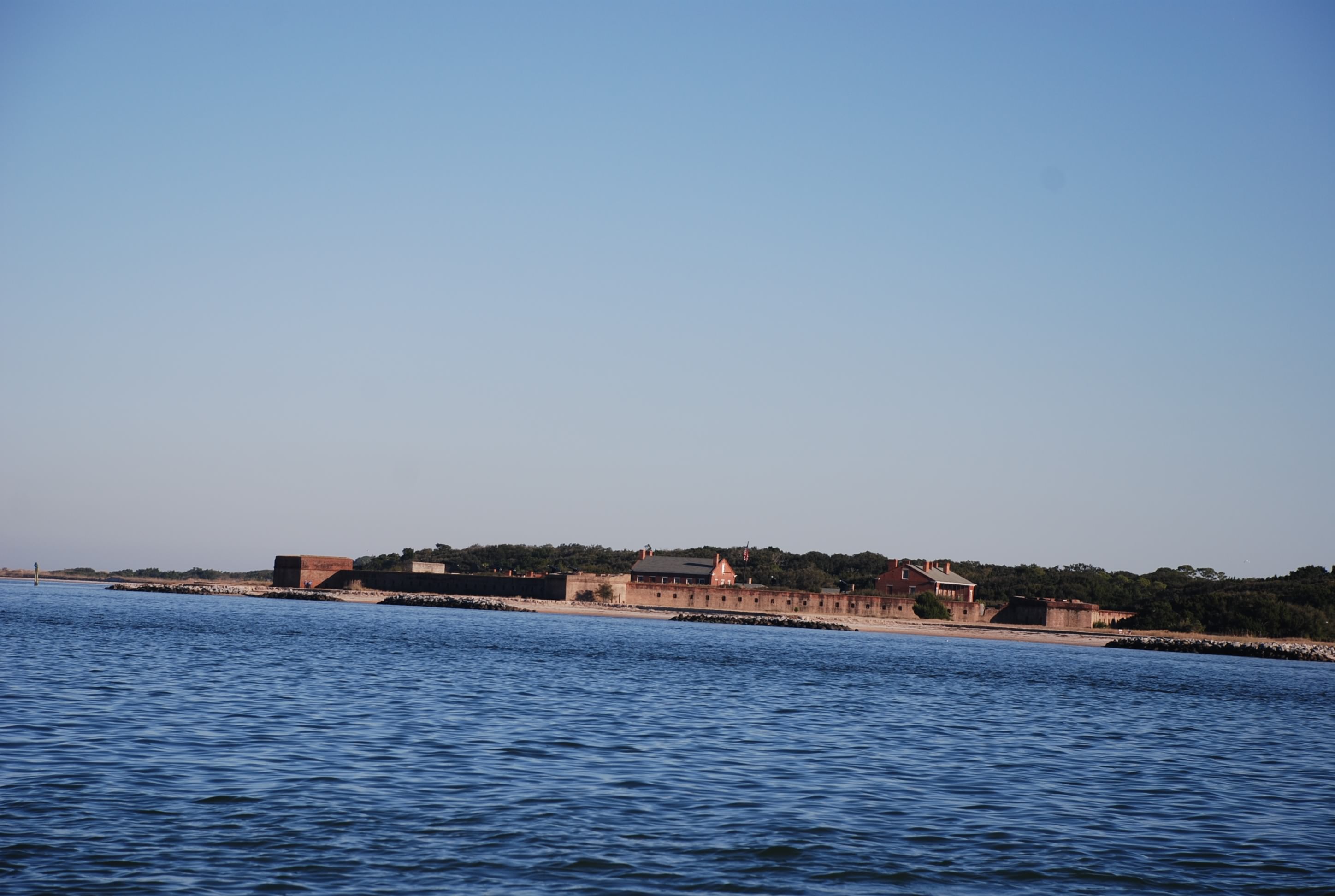
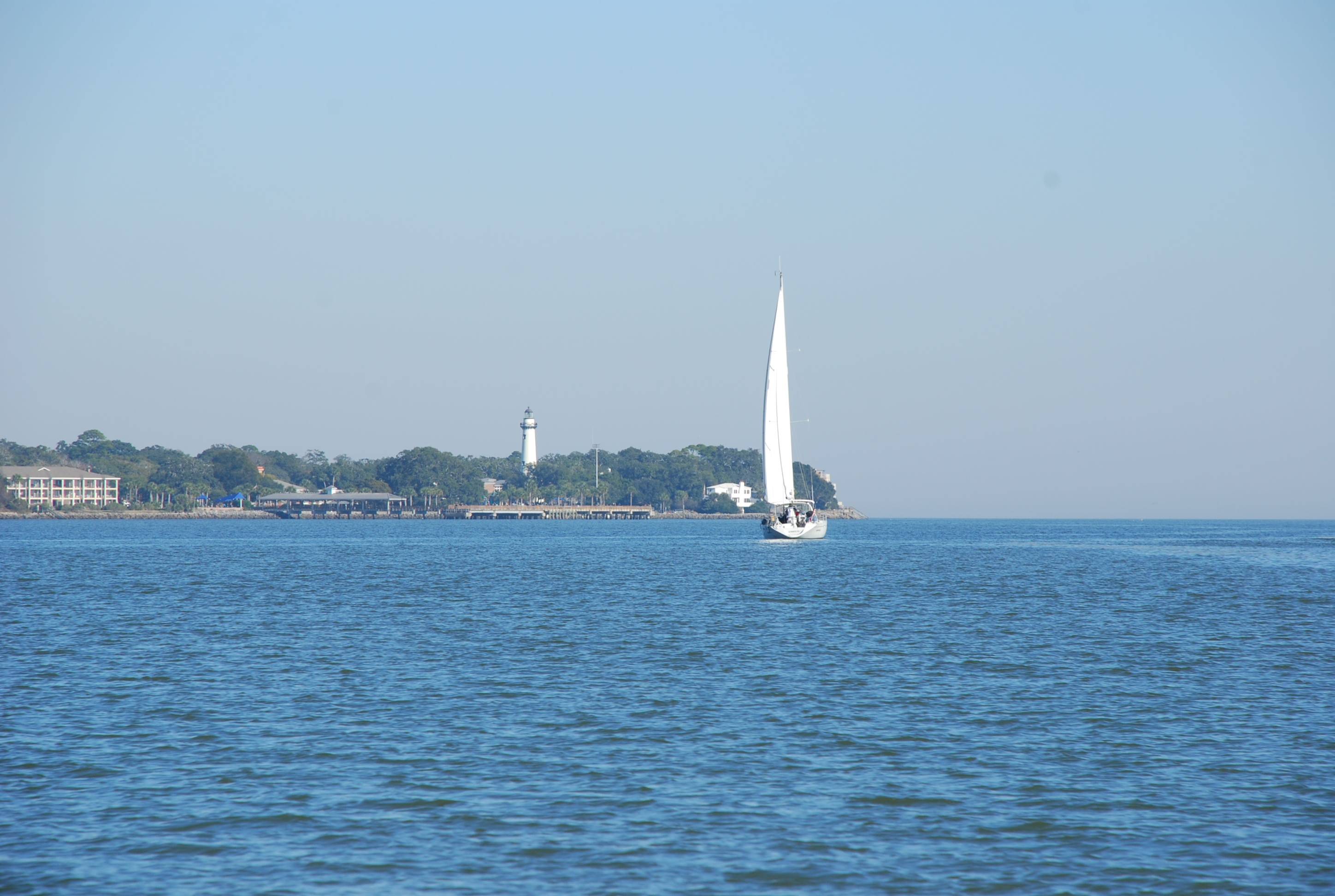
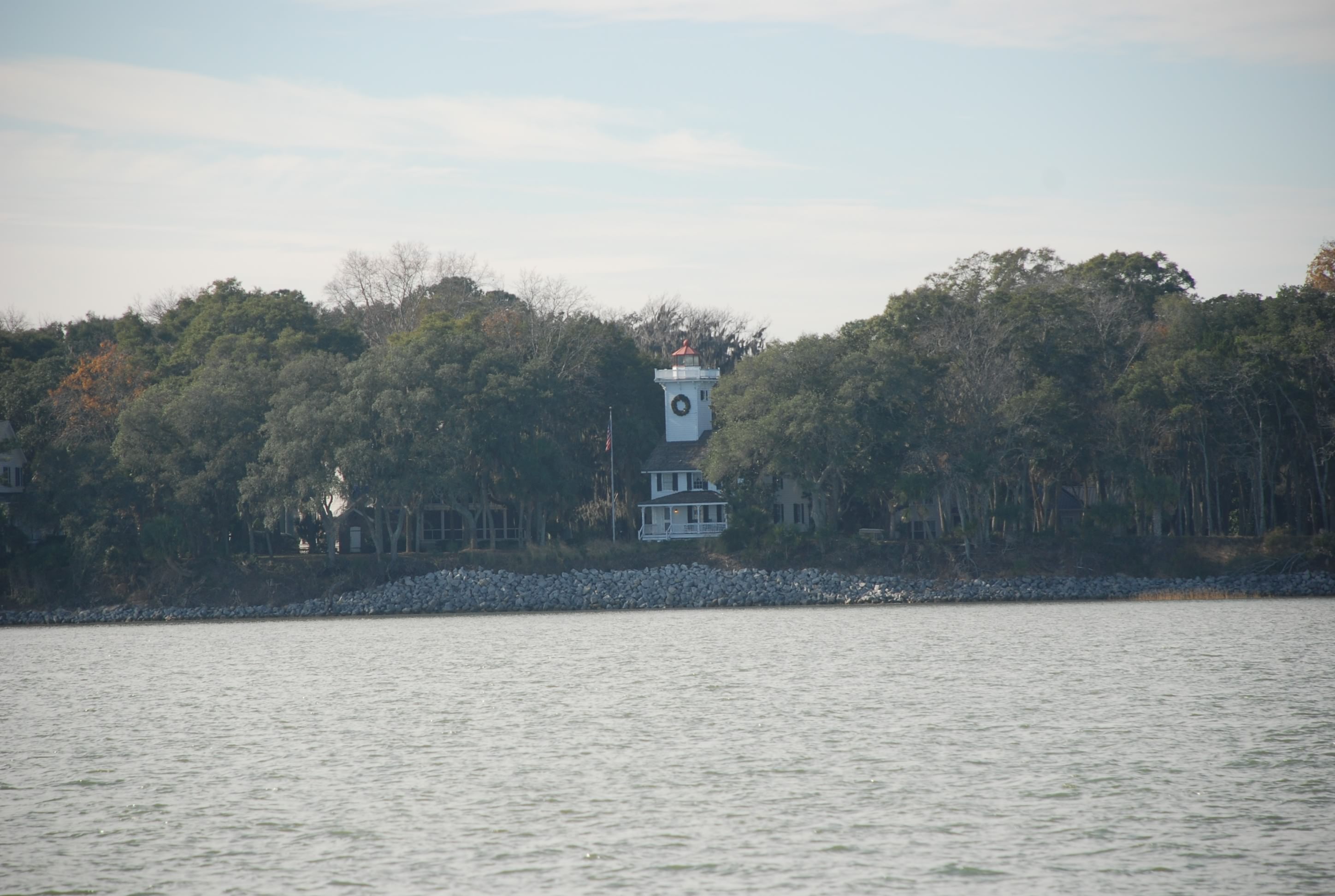
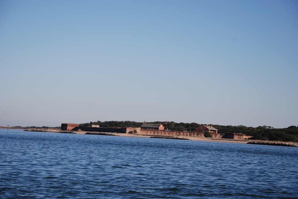
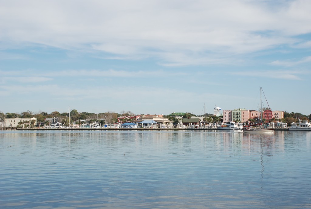
Then we came to Amelia Island, our first time in Florida waters with Island Bound. Here is the first view of Amelia, Fort Clinch, which is reported to be the only fort in the US that was never attacked. You can go tour it which I think would be cool. If we have enough time, maybe we will.
DSC_0418

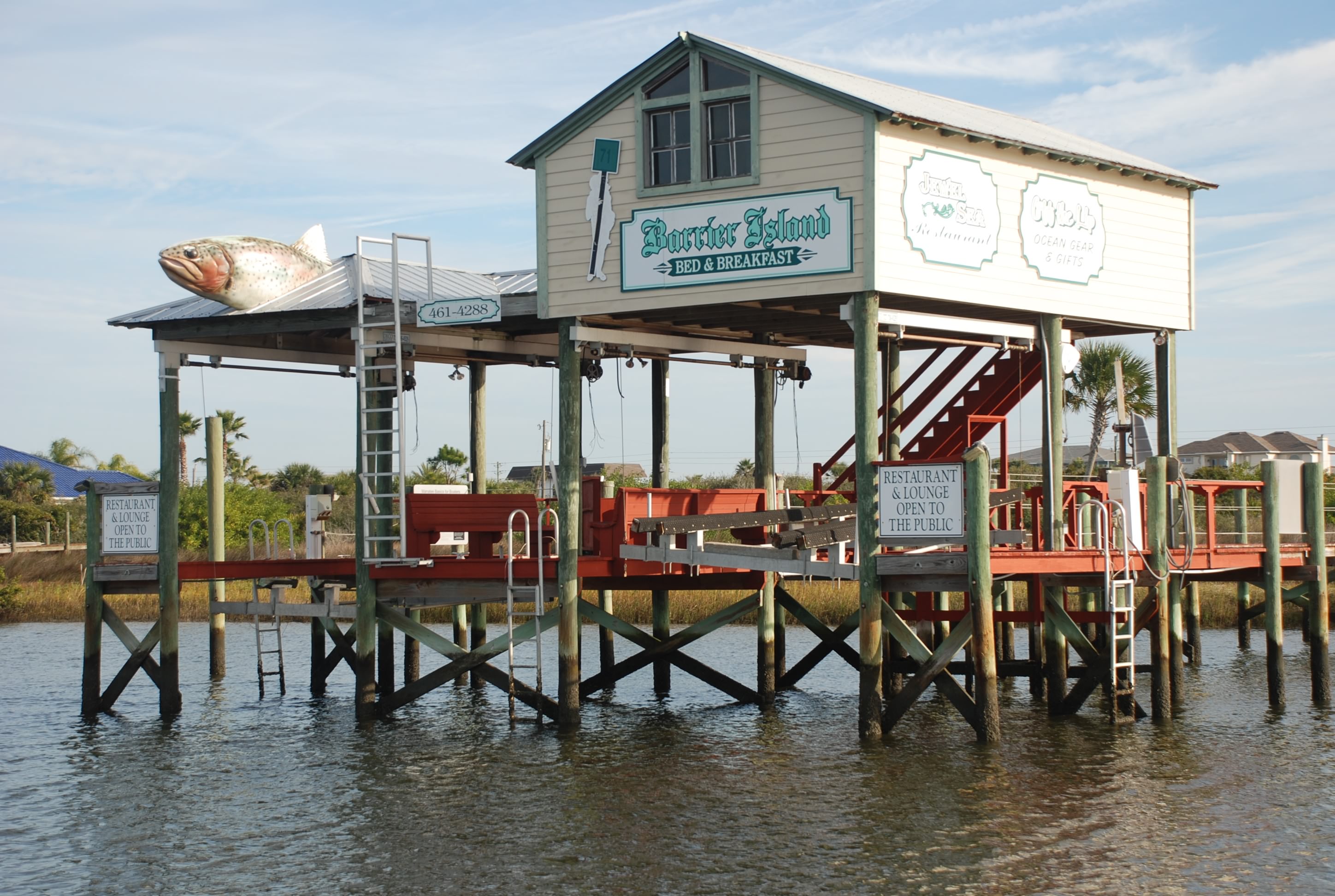
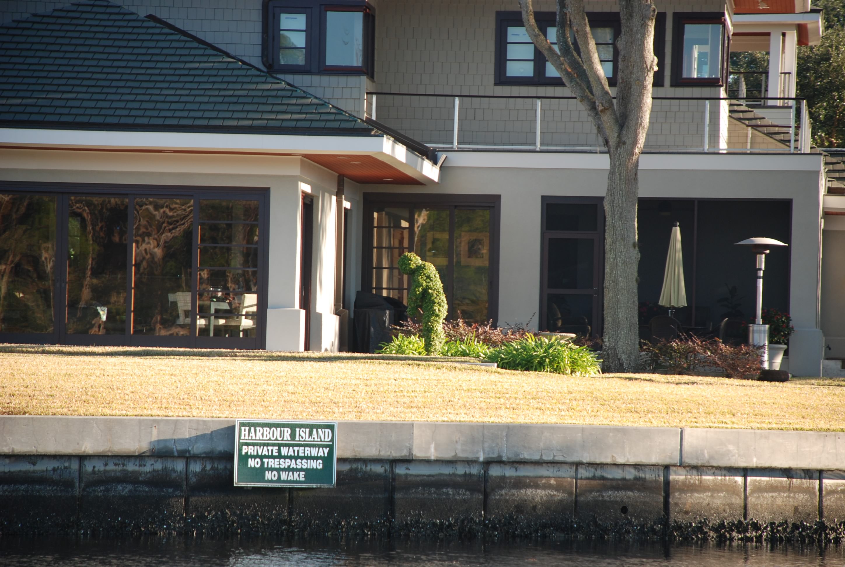
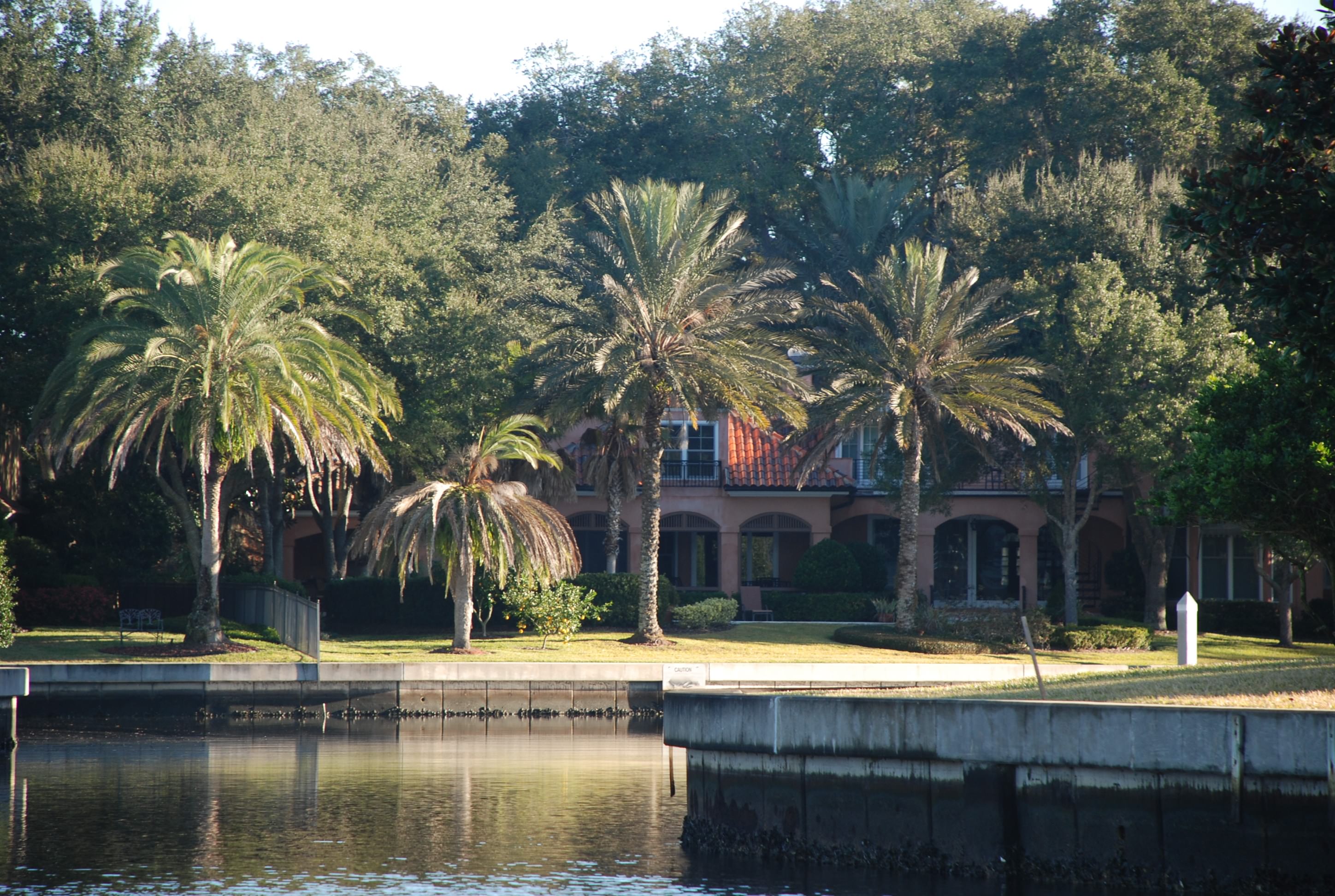
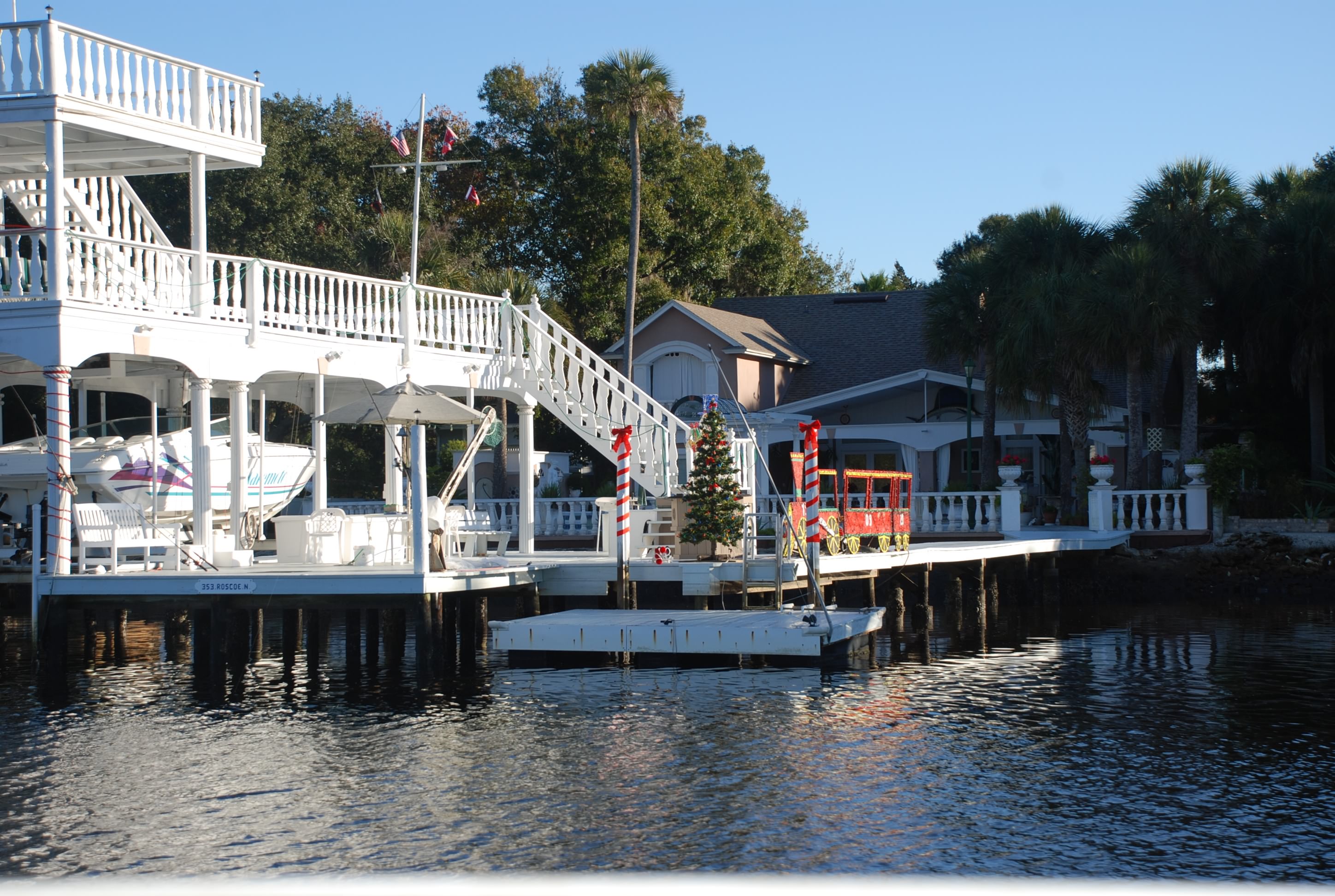
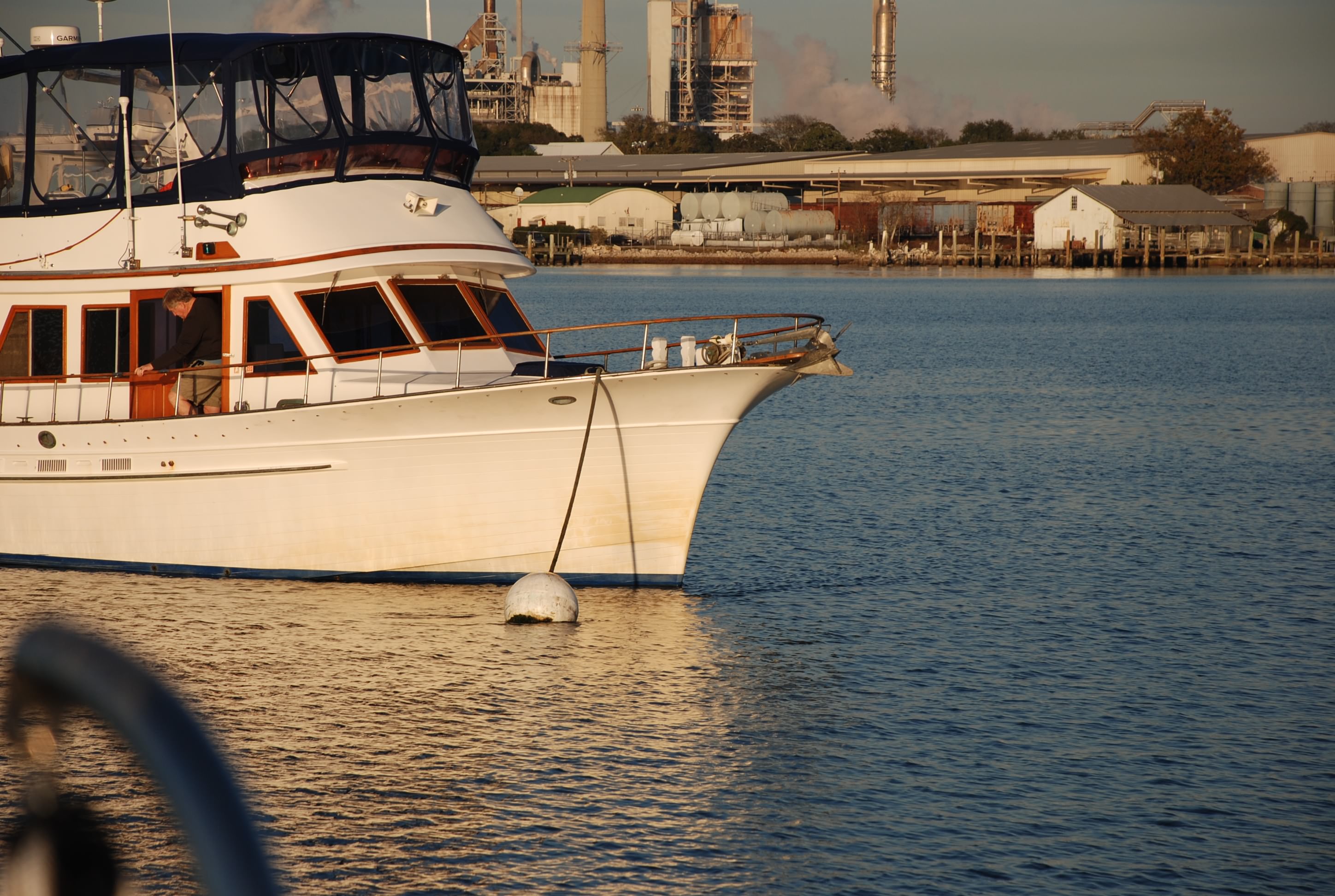
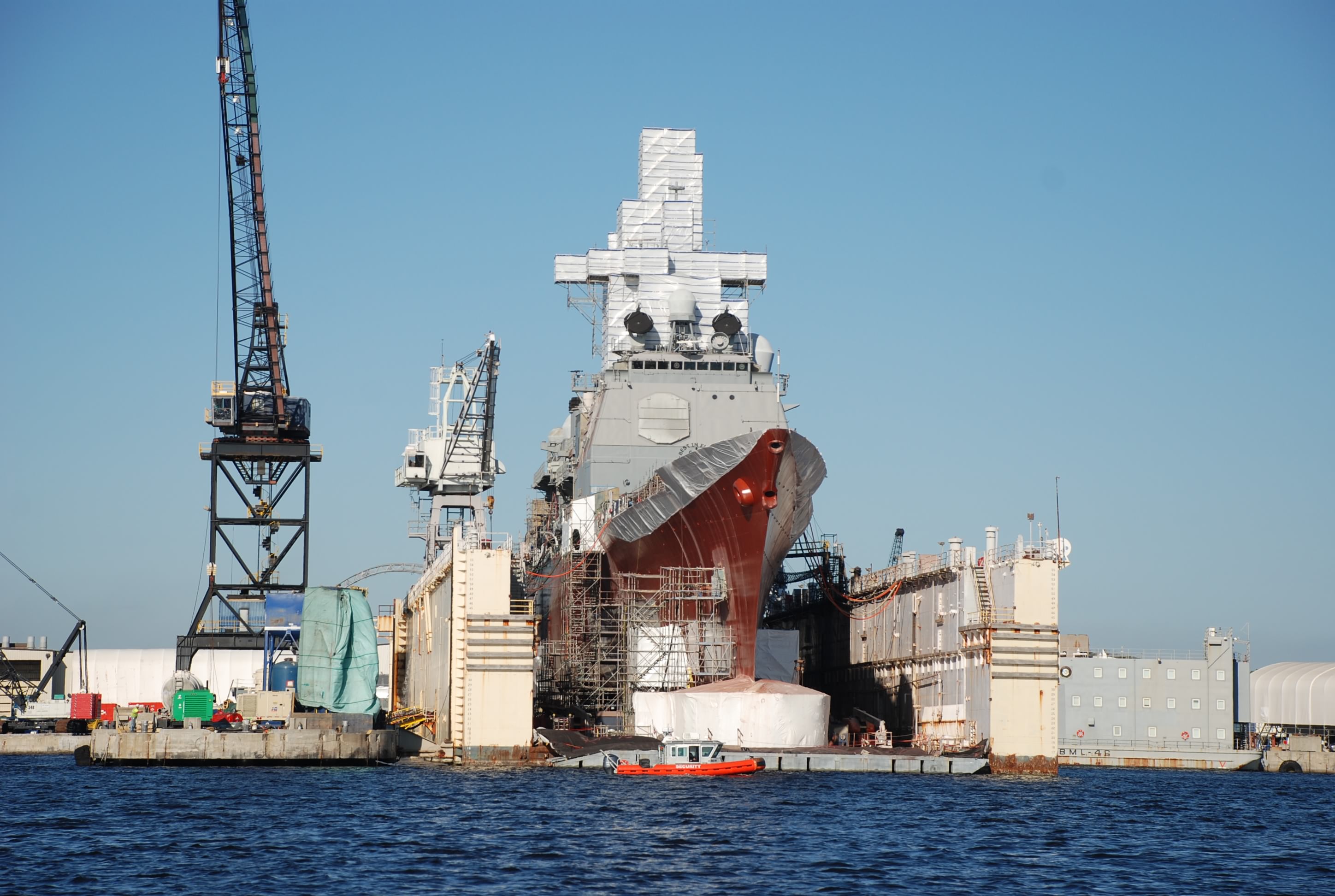
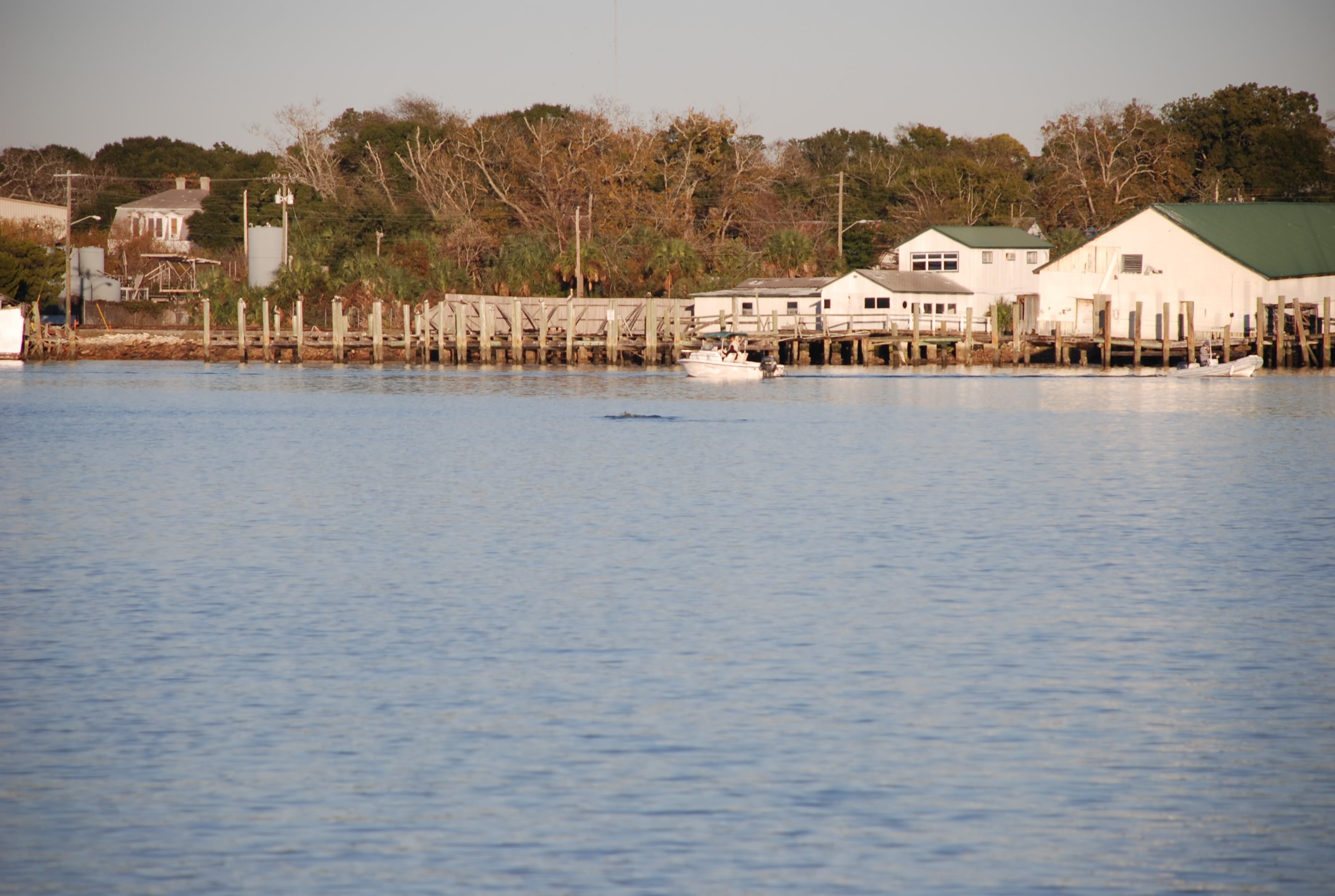
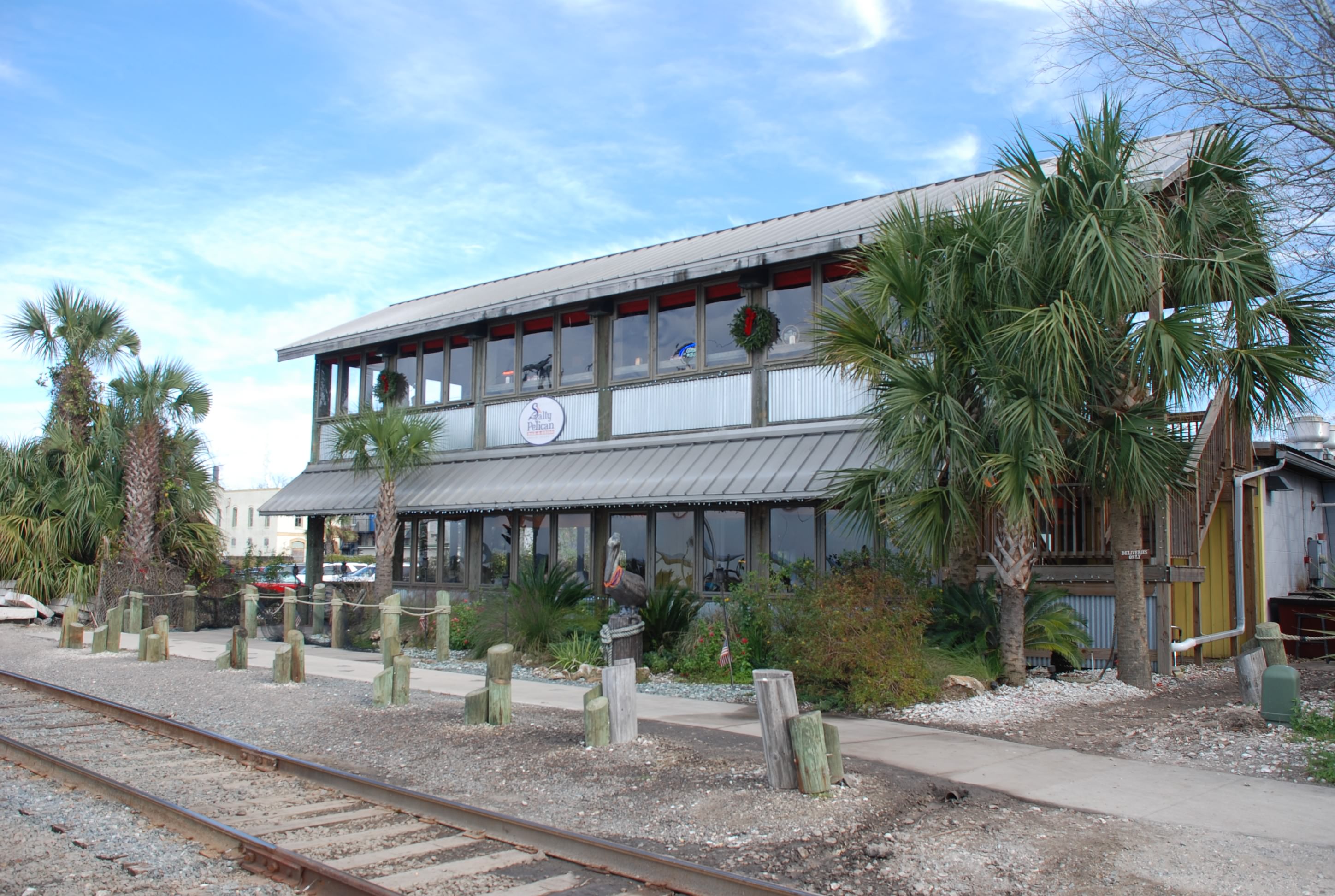
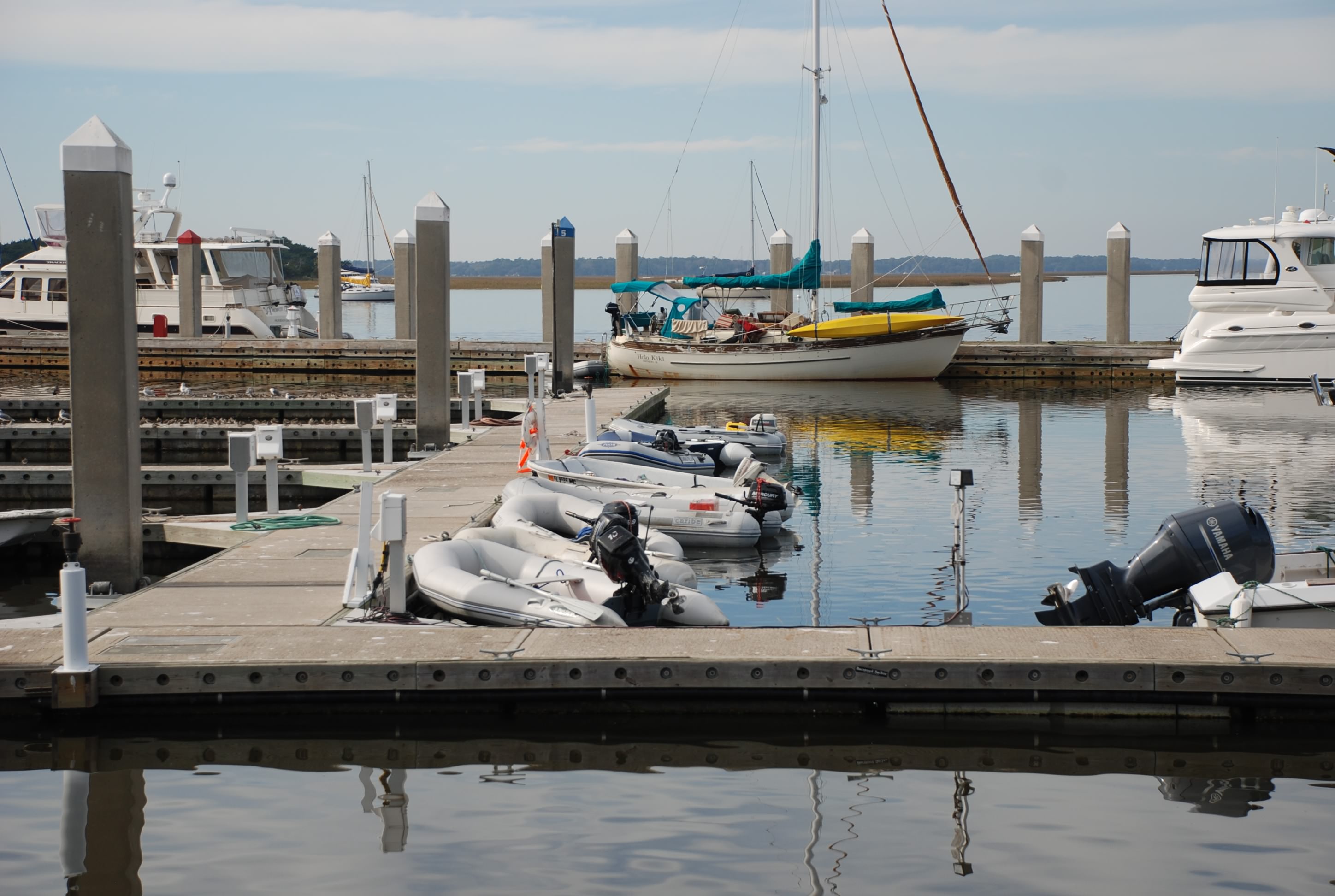
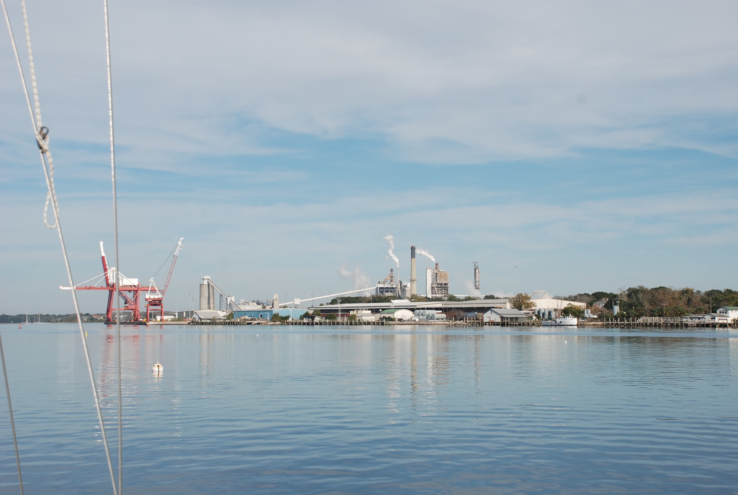
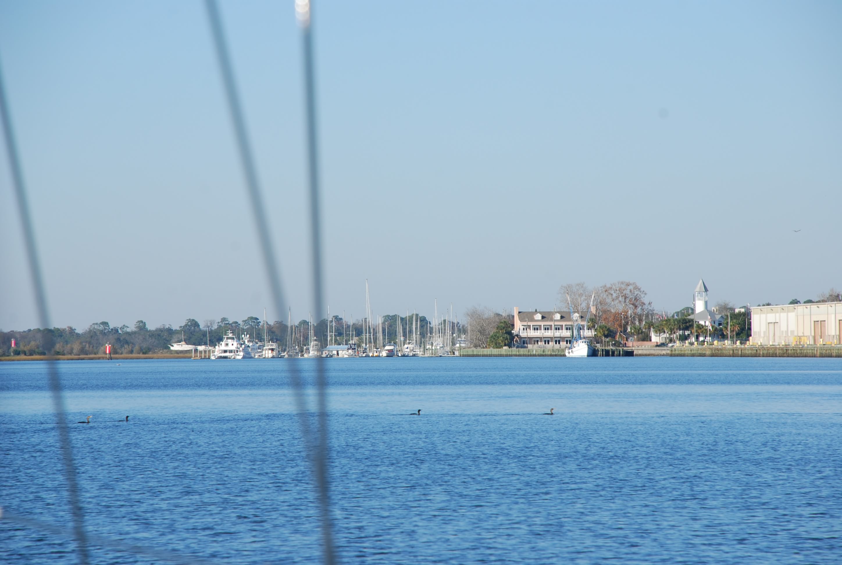
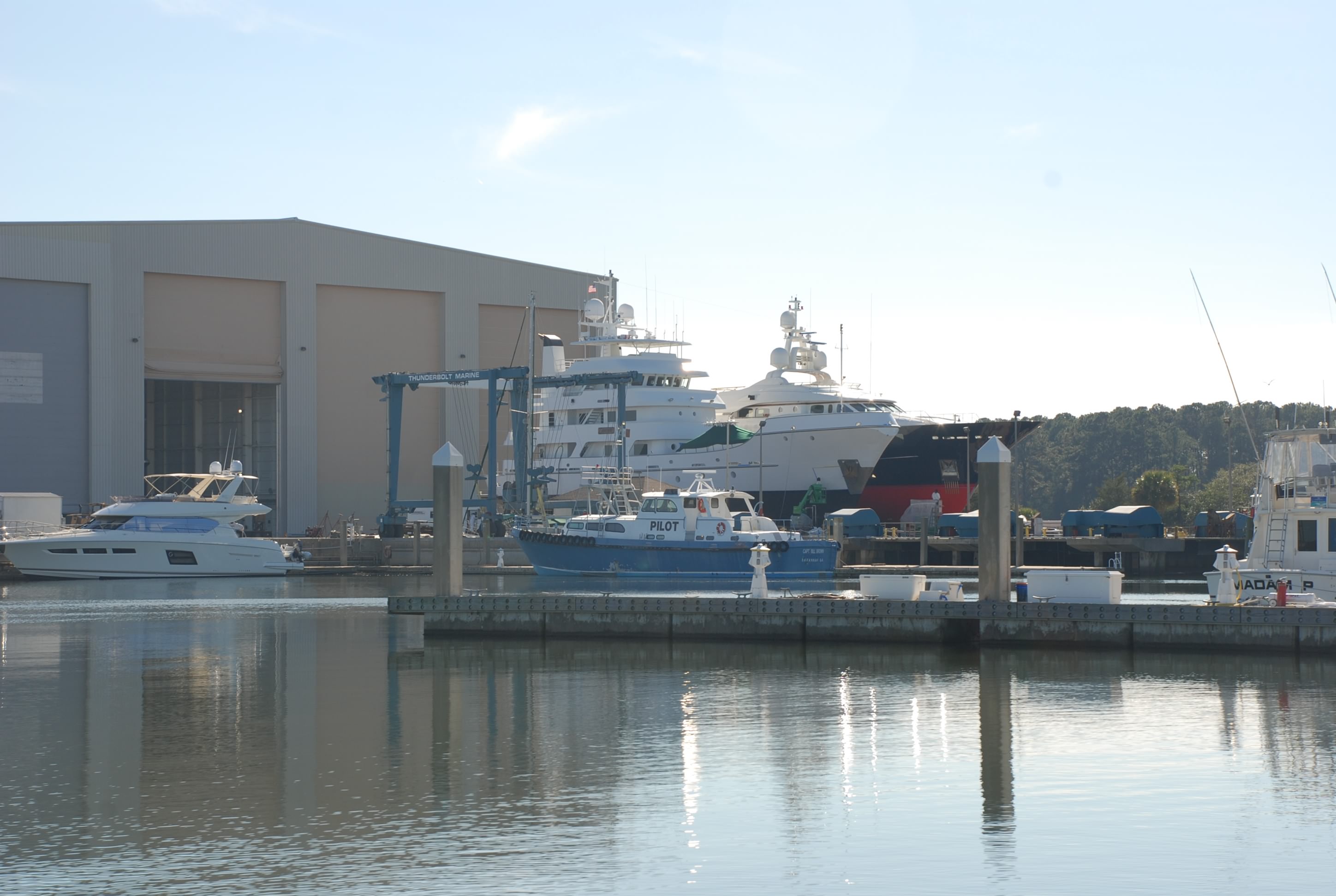
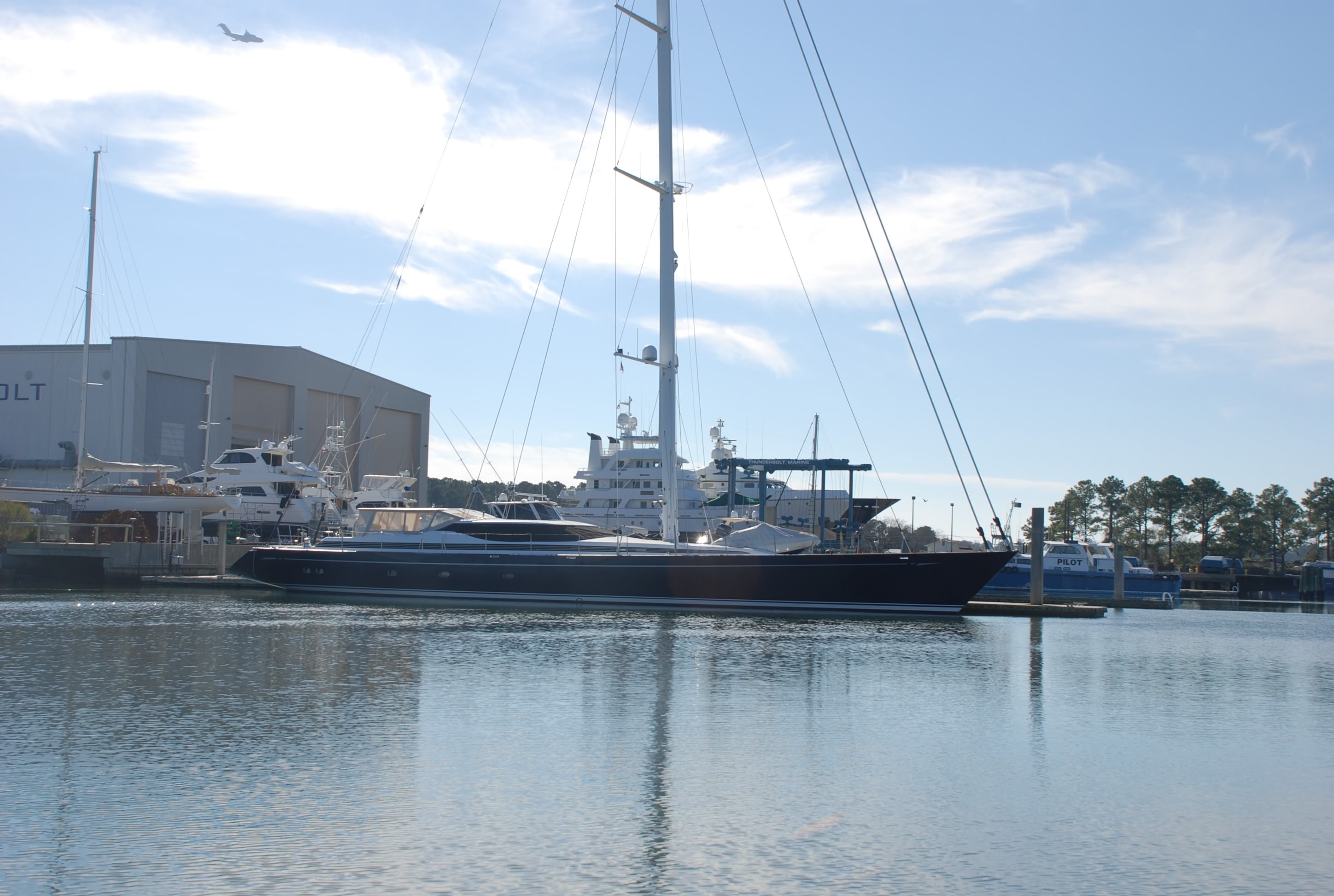
Once you round the bend from Fort Clinch you come into a very industrial area with paper mills and who knows what else. To our surprise, Fernandina Beach and the mooring field we are staying at, is tucked between this to the right:
DSC_0464
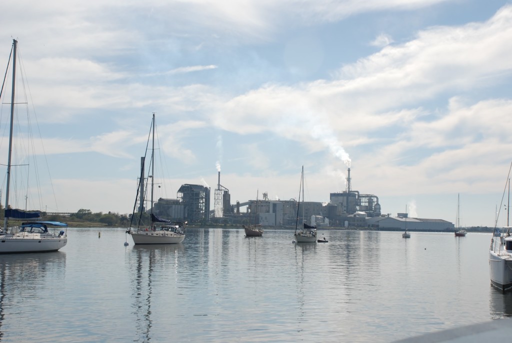
And this to the left:
DSC_0463
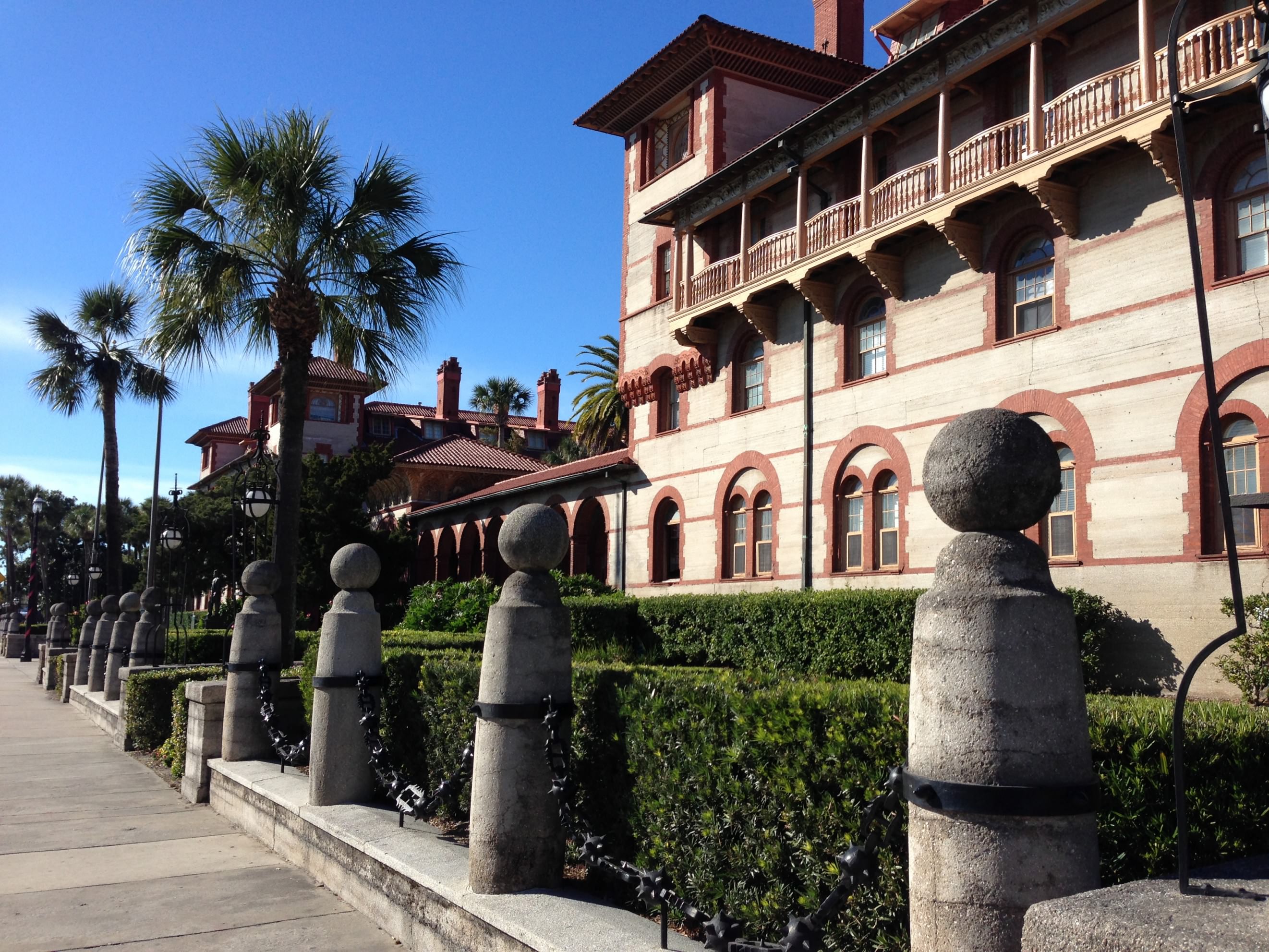
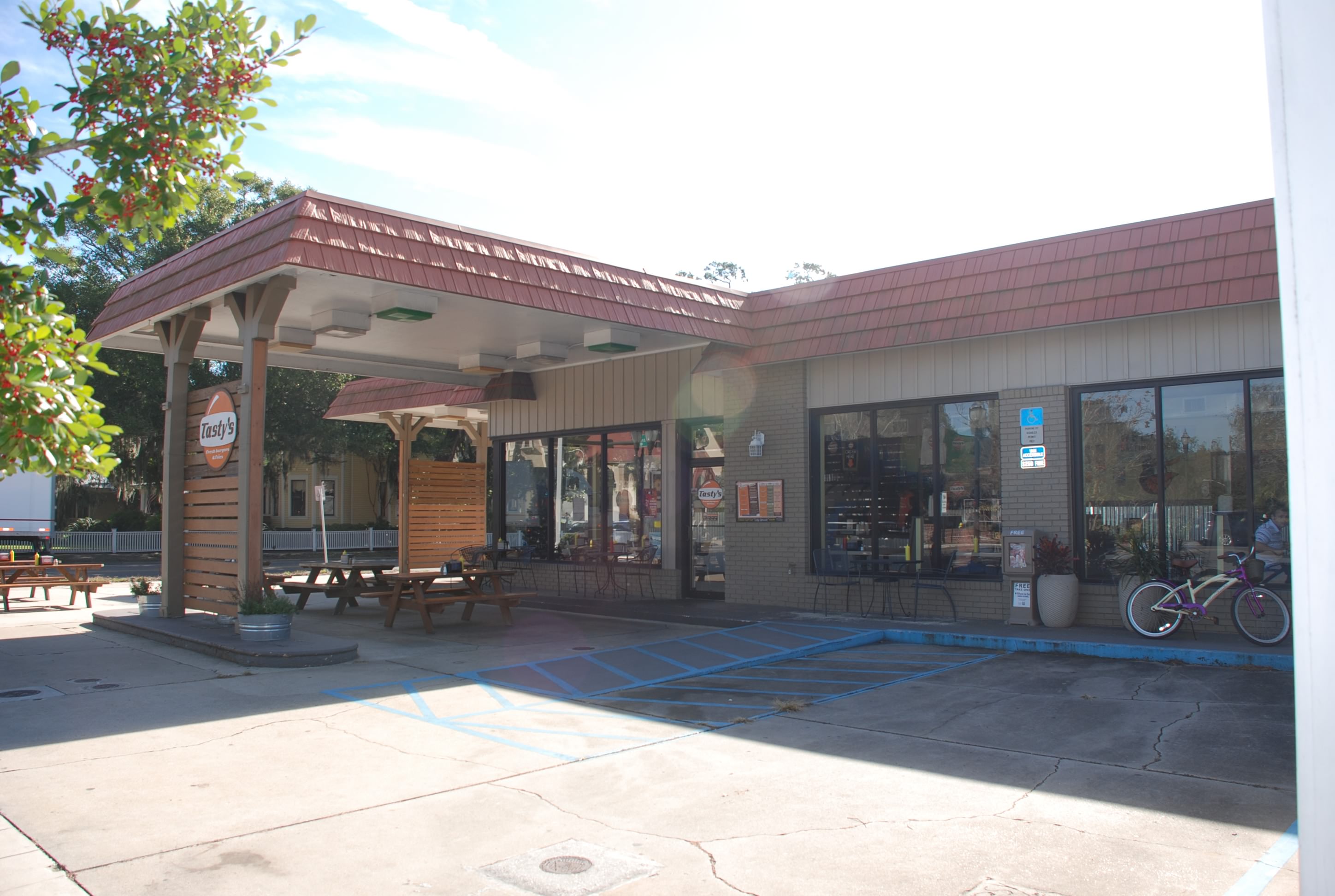
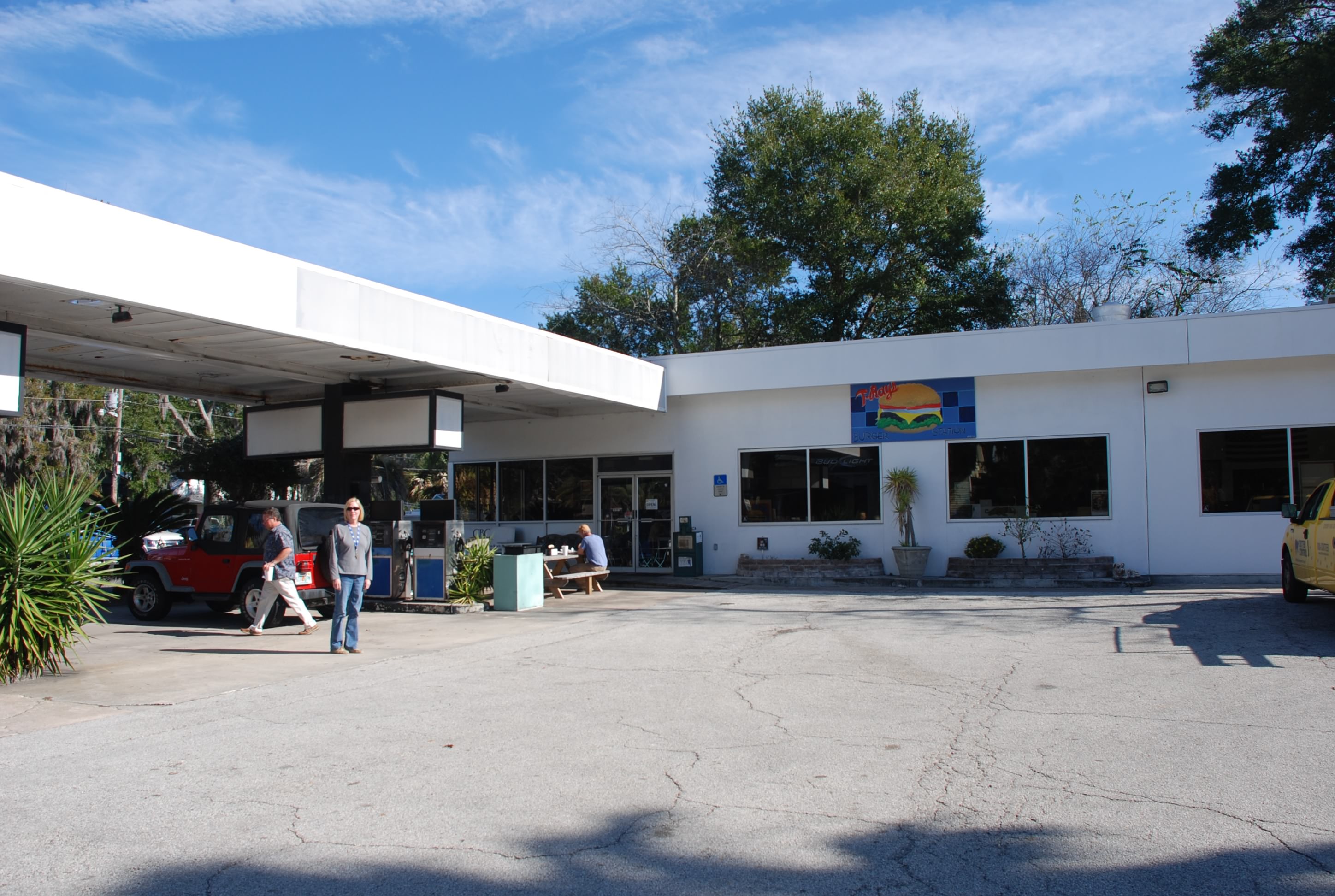
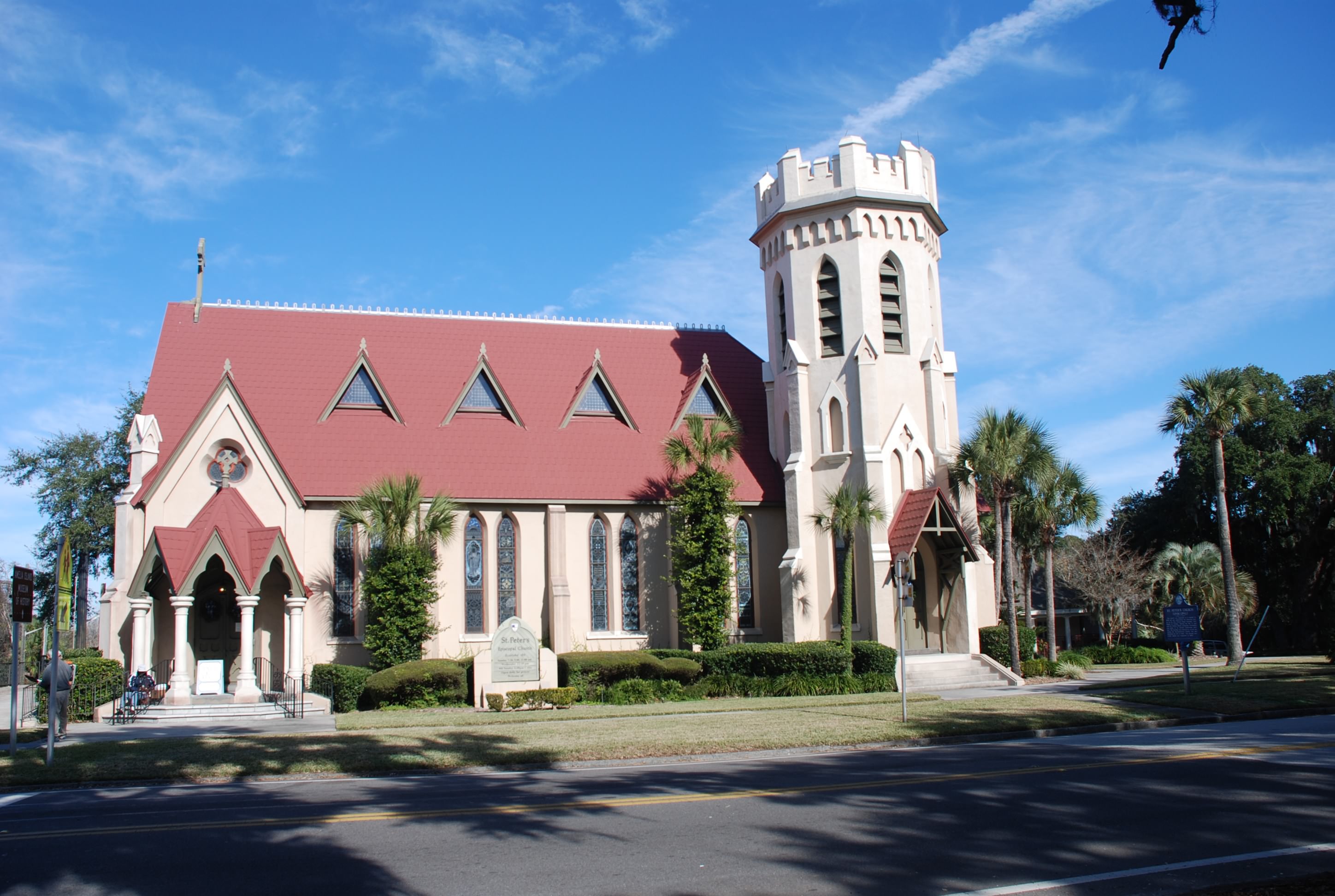
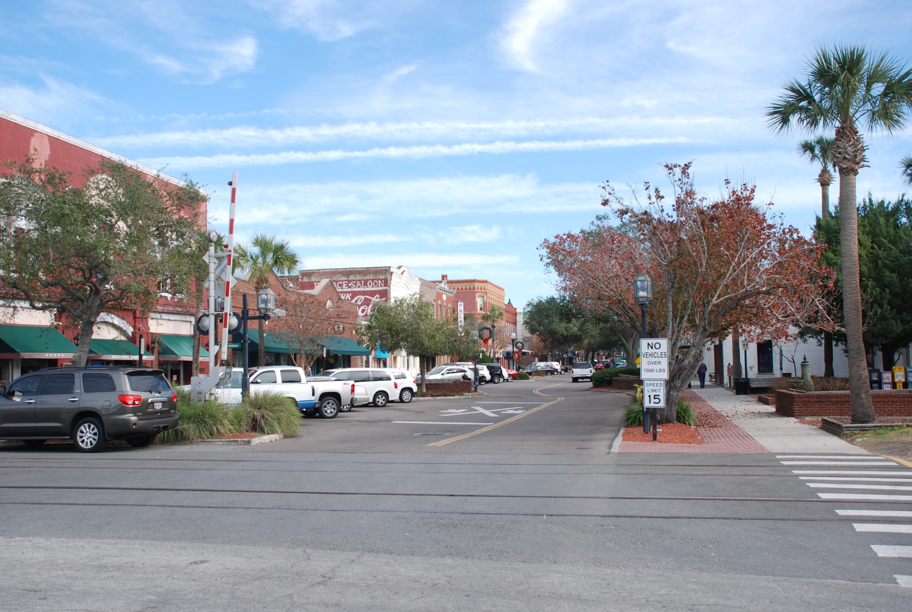
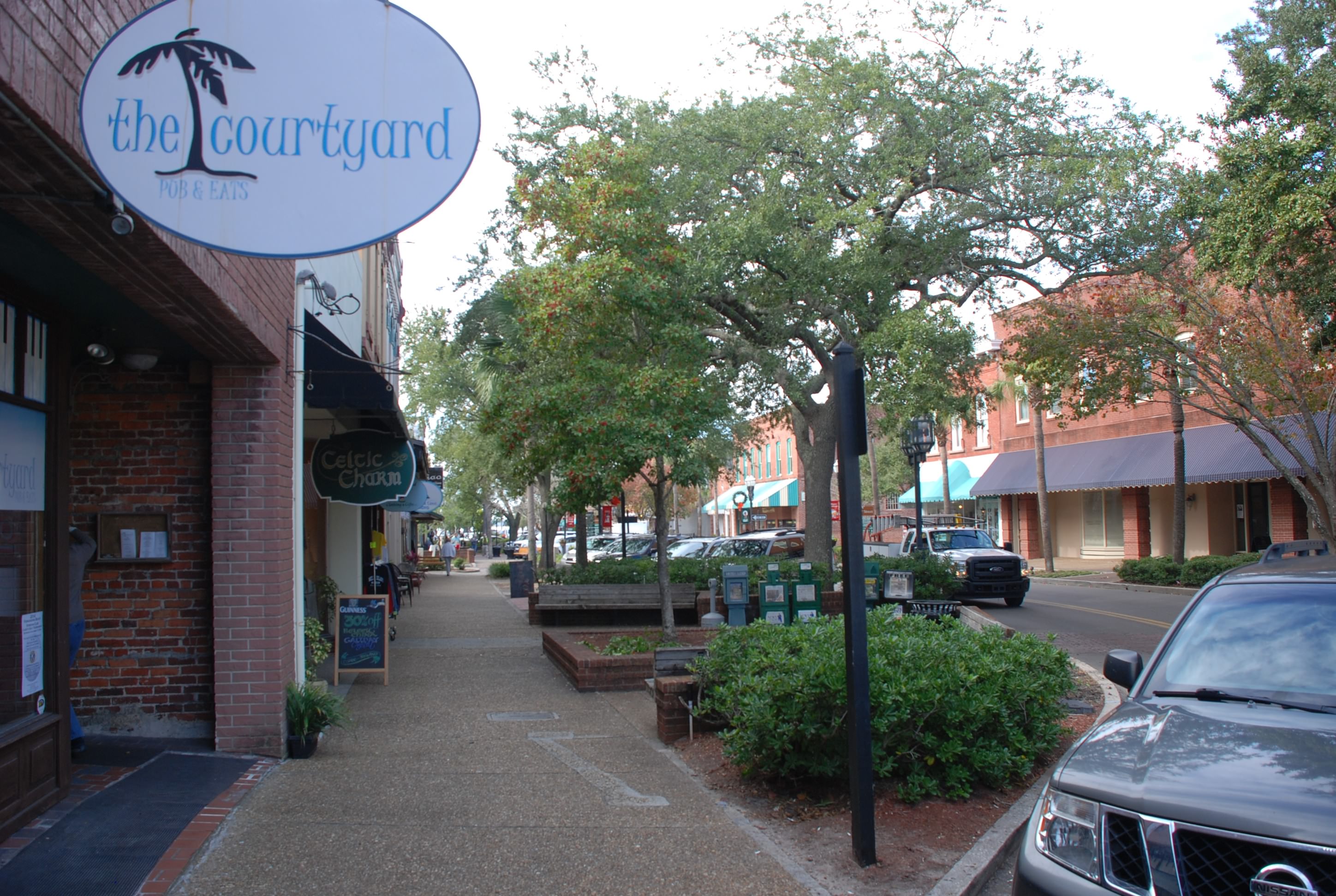
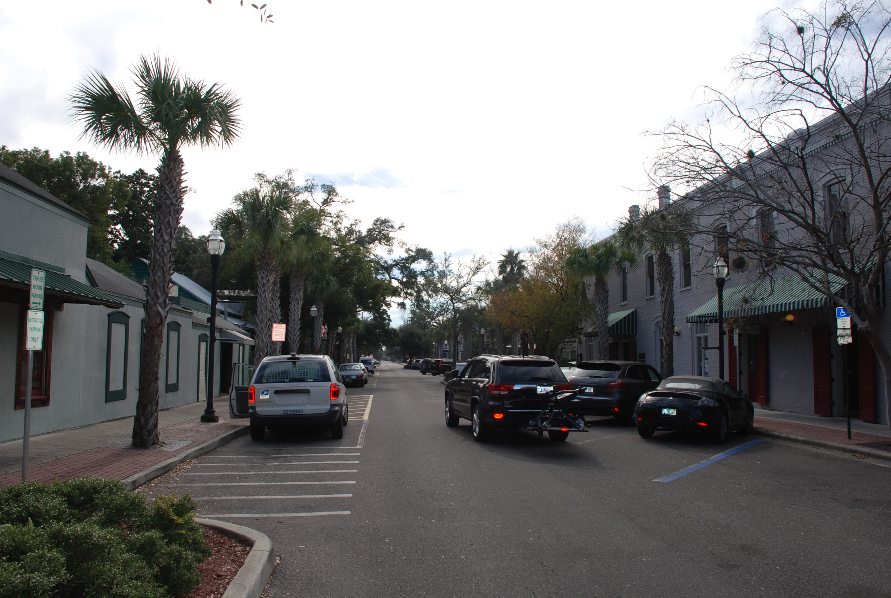
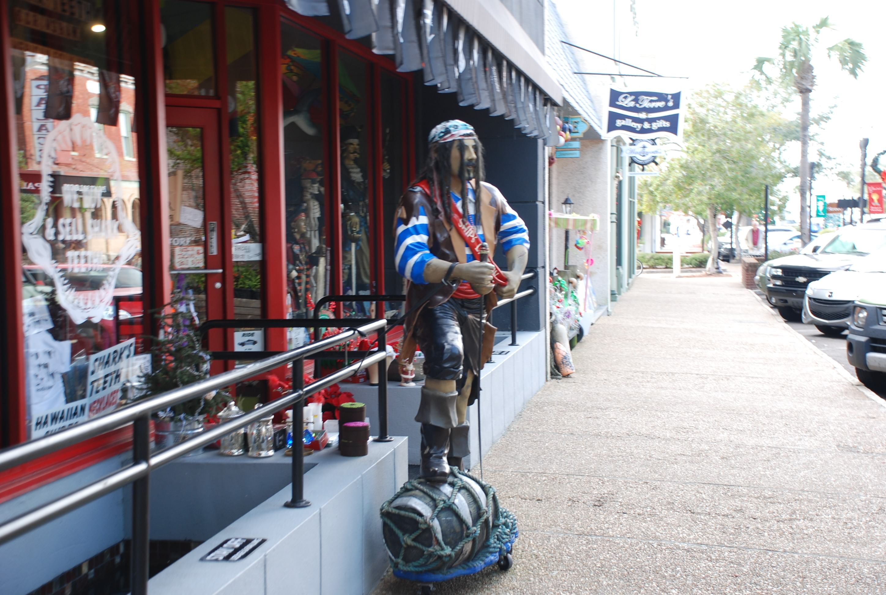
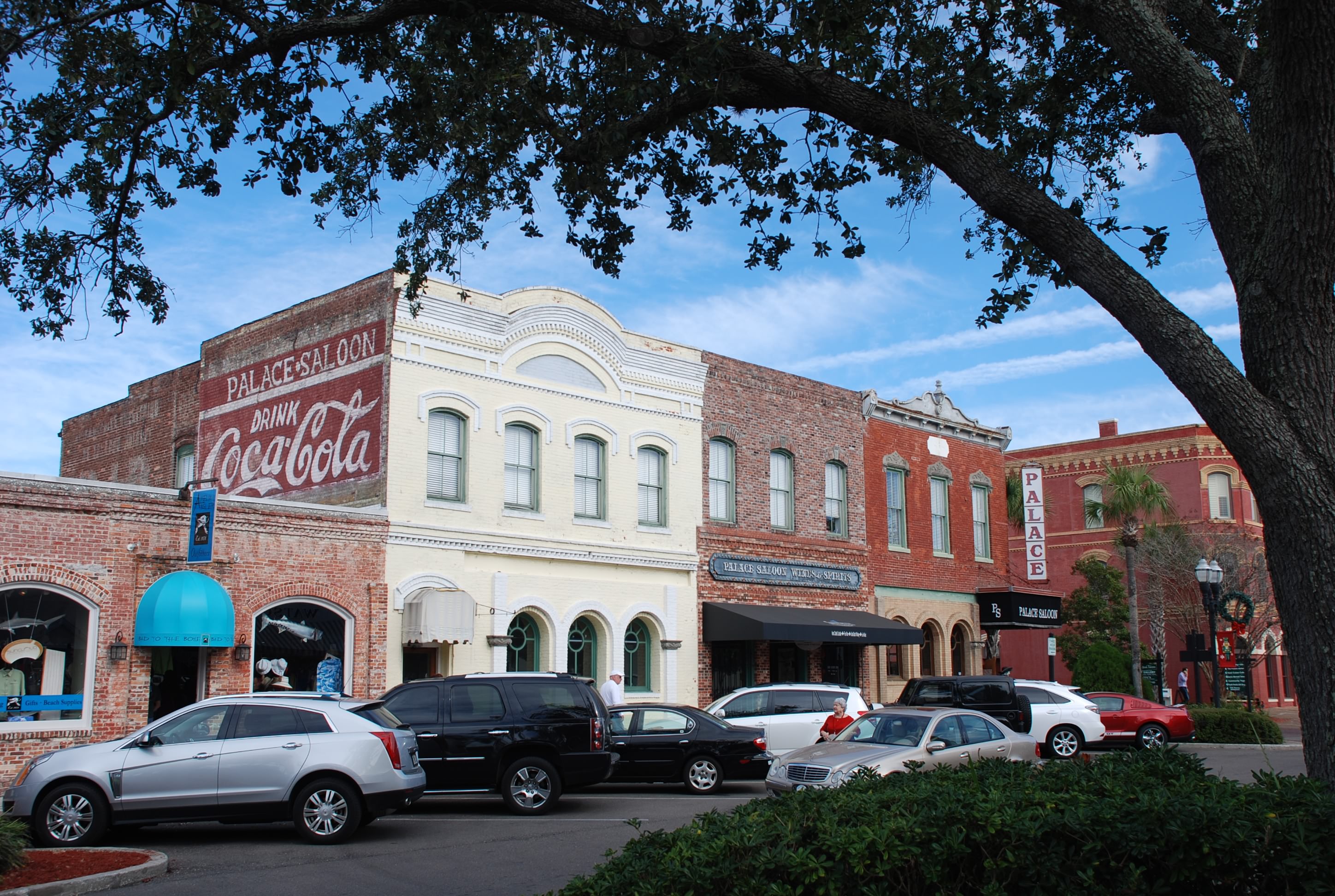
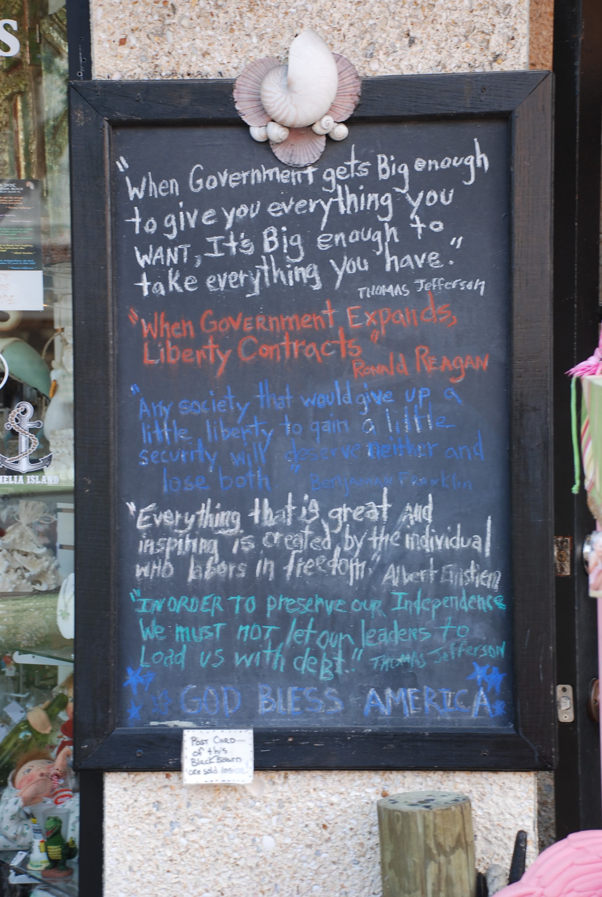
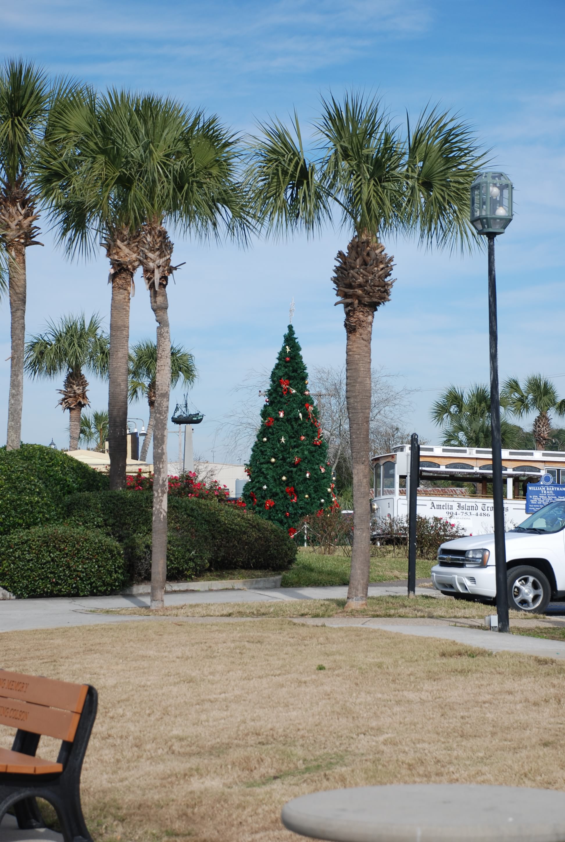
Not what we expected of our first day/night in Florida! Not very picturesque…noisy…and a little smelly. But sandwiched in between is Fernandina Beach which turns out to be a very picturesque town.
DSC_0462

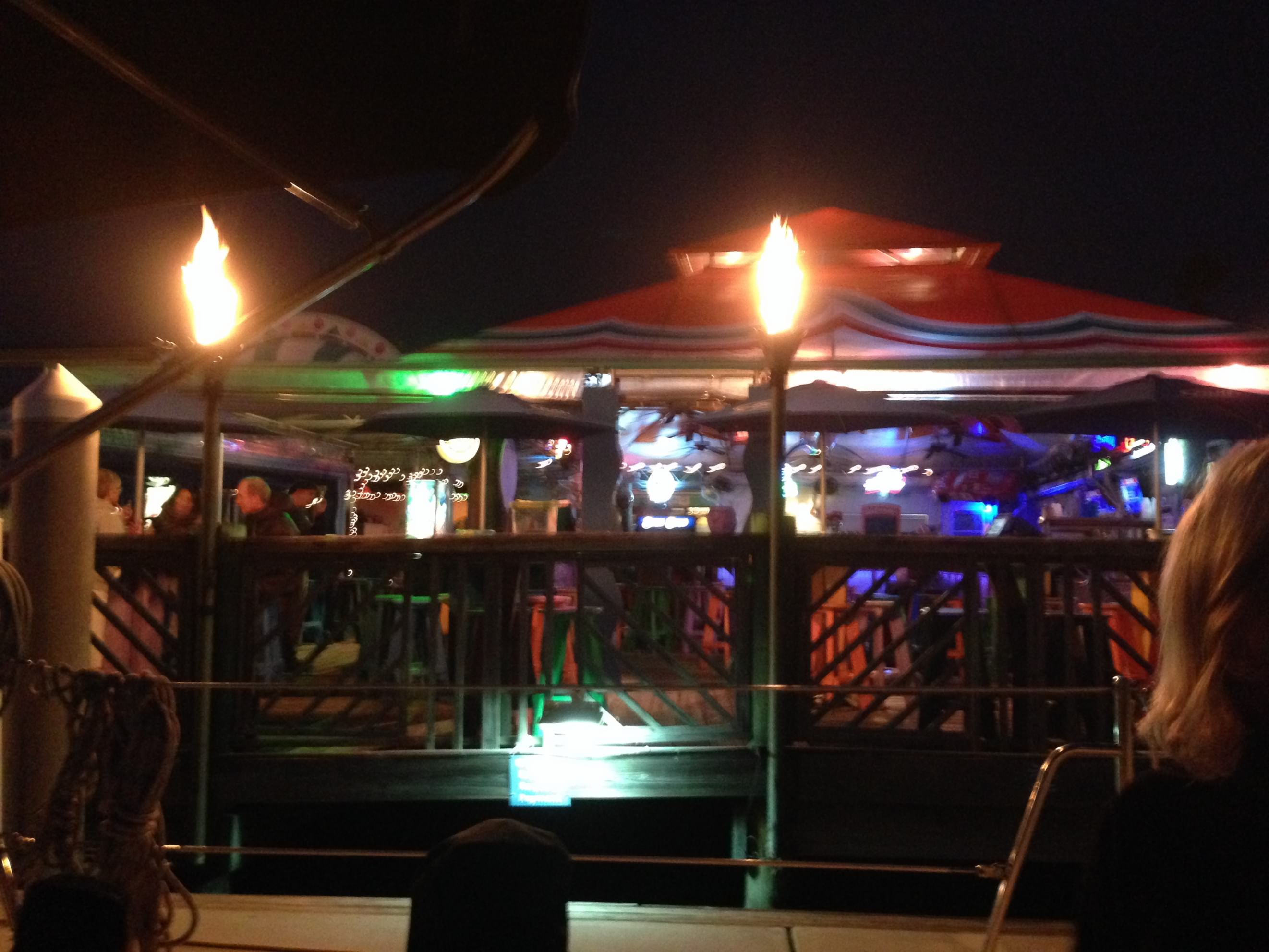
We went ashore and walked around town and had dinner, then dinghied back to the boat. We are going to stay another day and will post some pictures of the town tomorrow.

Through the Little Mud to Brunswick

12/13/14
Brunswick GA, ICW
Position: 31 09.056N, 81 29.979W
Posted by Bill

Today’s substantial shoal area was the Little Mud River. We left our anchorage with the plan to arrive at the entrance 2 hours before high tide, giving us a 2/3rds tide and rising. We timed it perfectly and had no incident. Coming out of the shoal area, we went into a narrow channel in the Altamaha River and we had a shrimp boat coming right at us with its net arms extended on both sides. Check out all the birds on the rigging.
DSC_0282

There was not enough depth outside the channel for me to move over so he could pass and the channel was not wide enough for both of us, so I tried hailing him on the marine radio. I tried channel 16, which is the one everyone monitors, and when he didn’t answer I tried channel 13, which is the one that commercial ships monitor. No reply…

He was moving pretty fast toward us so I turned around and went back into the shallowest part of the Little Mud River which was wide enough for both of us and he passed without a problem. We only had 3 feet of water under the keel of our boat in that spot, that goodness it was close to high tide, but it was one of those white knuckle moments!

We had numerous dolphin sightings today. They are becoming more and more common.
DSC_0342

We also saw a bald eagle!
DSC_0283

Towards mid afternoon we passed by St Simons Island which is where we were going to anchor, but we made such good time we decided to go into Brunswick. There is a large marina there with cheap fuel, decent dockage prices, cheap electric and free washers and dryers. The town is also known for its charm and history. It has been so cold at night, getting down into the upper 30s, and the thought of running our heat pump helped us make the decision to grab a dock for the night. Coming into the marina we passed by the local shrimping fleet:
DSC_0350

Approaching the marina:
DSC_0355

The bridge going into Brunswick:
DSC_0338

We checked out the farmers market that was still going on when we arrived, but it was pretty lame. Then we walked to dinner in town and came back and took advantage of the free laundry facilities…great Saturday night date night!

The town of Brunswick is quite picturesque, but the streets were mostly deserted, and it was Saturday night! There are quite a few restaurants for a town this size, but none in the downtown that specialize in seafood…I couldn’t believe it, since they have a fishing fleet docked 2 streets away from the area with the restaurants. Also, this is the place where Brunswick stew was created and no one had it on their menu.

Tomorrow we tackle the last of the major shoal areas in Georgia, Jekyll Creek.

St Simons pics:
DSC_0305
DSC_0315
DSC_0325

Day 2 in the Georgia ICW

12/12/14
New Teakettle Creek, BFE, Georgia ICW
Position:34 03.559N, 77 53.265W
Posted by Bill

Another 41 nautical miles in the ICW today. We had to time the next major shoal area, Hell Gate, for mid tide rising, and we hit it around 1 1/2 hours before high tide….perfect. The tides along our route lined up very well for another excellent passage, and we made it to the most further anchorage option on the route, so we were happy about that. It was also much warmer today…major happiness.

Most of our passage today was through the sounds and coastal marshes of Georgia and was very remote but beautiful. This is certainly God’s country and it makes you appreciate His creation.
DSC_0213
Most of the boats heading south are already further south than us, due to our delay from spending 2 weeks back home, so we have the waterway and anchorages mostly to ourselves.

We saw lots more dolphins today. They are becoming routine the further we head south. We saw a mother and child swimming together this morning as we were raising anchor.
DSC_0201
It doesn’t matter how much you see them. It is still very cool. We really want to see a manatee next, but will probably have to wait until we get in southern Florida because they have migrated south already.

We are anchored in New Teakettle Creek which is in the middle of BFE Georgia. Lots of birds making weird noises, but a beautiful secluded anchorage. Here is today’s sunset.
DSC_0247
DSC_0251
DSC_0254

Tomorrow we tackle the next major shoal area in Georgia…Little Mud River!

On the road again…errr water

12/11/14
Breakfast Creek, Georgia ICW
Position 31 56.195N, 80 40.673W
Posted by Bill

Well…we finally broke the hold that Beaufort/Port Royal had on us and pushed off the dock at 7:21 AM. We motored all day, moving through Port Royal Sound, past Hilton Head Island and Daufuskie Island; and wound along the ICW. Our first bad shoal area was Fields Cut, where the ICW meets the Savannah River, and we hit it 30 minutes after high tide…piece of cake! We made such good time that we made it to our preferred and furthest anchorage choice: Breakfast Creek. One never knows if the tides are going to be with you or against you because of the way the ICW meets the ocean and the tributaries that flow into it, so we plan for worst case, tide against us all the way and have several anchorage or marina choices depending on how well we are moving.

The views were very pretty along the way.
Looking back at Hilton Head on the ICW:
DSC_0053

The famous Harbor Town and it’s light house on Hilton Head:
DSC_0068

Haig Point light house on Daufuskie Island:
DSC_0070

We also saw lots of dolphins today:
DSC_0153

We only had one draw bridge to content with and we hit it during a period of “open on request” so we breezed through it as well.
DSC_0101
DSC_0104

Even after all of these ICW miles it still amazes us to see the number of homes like these.
DSC_0155
DSC_0156
Where does all the money come from? It just goes on like this for miles and miles.

We saw some pretty big boats as usual.
DSC_0127
DSC_0130
DSC_0133

Then as we were making our way up the Vernon River to our anchorage, we saw this sort of forest fire, and the helicopter getting buckets full of water, dumping on the fire, and repeat. It was pretty cool as we have never seen this live in action before.
DSC_0179
DSC_0183

The anchorage is quiet and protected and lined by really nice homes.
DSC_0193
Only bad thing is that it is abnormally cold for a few days. The last few days we were tied to our dock with the heat pump running. The next few will be at anchor. We froze all day in winds, albeit light, and temps mostly in the 40s. The low tonight and the next few nights will be around 42…and we don’t have heat at anchor. Yuk! Good thing we are only a few days from Florida and the temps are supposed to get back to normal…slowly.

Our excellent progress today will have us well staged for the next serious shoal area, Hell Gate.

The idiots in the Hinkley

12/10/14
Beaufort SC
Posted by Bill

Yesterday I neglected to tell you about a power boat that pulled up on the other side of the dock from us. Normally, when you are coming in to a marina you get on the marine radio and tell them you are coming in. The marina staff will usually come and take your dock lines and help you get in to the dock and secure your boat, especially when there is a nasty current like there is at this marina. They obviously did not radio ahead because no one was there to help them. I saw them coming in and stepped off of our boat to help them. It is a boaters code to help fellow boaters, especially when approaching or leaving a dock, as it is the most stressful and difficult part of handling a boat.

There were 3 guys on board this Hinkley power boat (very nice and expensive) and they were dressed in khakis and golf pull overs. I could tell that none of them besides the captain knew anything about boating because they weren’t prepared to hand me dock lines. They had no clue what was going to happen as they approached the dock. I grabbed the spring line off of the boat and asked the captain if he wanted a fore or aft spring. He replied “just tie it off right there”, which didn’t answer my question. I then proceeded to grab the bow line and the one guy jumped off of the boat near the stern. He didn’t grab the stern line, but tried to wrestle the boat to the dock by hand (not at all what you should do in a docking situation). There was a decent chop on the river and the boat was bucking pretty good. The guy who jumped off was trying to keep the stern from slamming the dock and still hadn’t grabbed the stern dock line…idiot. Then all of the sudden his feet were on the dock, his hands were on the boat, and the distance between the two was increasing rapidly. No question about it….this guy was going in the drink.

The guys feet and legs go into the water about the same time that Tricia is jumping off of our boat to help, and he is hanging off the side of the boat between the dock and the boat. I am trying to maneuver the boat with the bow and spring lines and Tricia is trying to grab the stern line and help the guy in the water. My first thought is “wow…with the wind and waves in the state they are in, the boat is going to crush this guys legs and torso against the dock”, and sure enough the boat started to slam him. The second guy on the boat has no idea what to do, and the captain is running the boat into the boat in front of him on the dock. At the last minute Tricia pulls the man overboard onto the dock and the momentum knocks her on her ass, but the guy is safe. We get the lines secured and the boat is safely docked.

I ask the wet guy if he needs some dry cloths that he can use while they use the dryer at the marina to dry his. They reply that they are golfing nearby and he will just buy some new cloths at the club. They are both laughing at their buddy, and nobody even thanks Tricia for saving this guy who would have been crushed by the boat without her help. They waltz off with their golf bags without any comprehension of what just happened.

We were both totally shocked at the complete lack of boating knowledge and seamanship, and especially that the pretentious assholes didn’t even have the decency to thank us…especially Tricia…for keeping their buddy from bodily harm and their boat from slamming the dock. This is not normal boater behavior as the boater community is very close knit.

Today we moved the boat to the end of the dock in preparation for leaving tomorrow morning. This will make a much easier departure in the tidal current. We also borrowed the courtesy car at the marina and got groceries, liquor and propane. We added water to the tanks and pumped out the holding tank again, and we are ready to go! We are anxious to be on the move again, but at the same time, we really enjoyed our stay here.

Finally….a firm departure plan

12/9/14
Beaufort SC
Posted by Bill

The weather, tide, and the end of our month of dockage has all come together. We did some major passage planning today, looking at tides and anchorages, and considering all of the timing, and our plan for the next week looks like this:

12/11 – Depart Port Royal Landing Marina, transit Fields Cut (major shoaling area off of the Savannah River) and anchor in the Herb River, Georgia.

12/12 – Transit Hell Gate (major shoaling area) and anchor in the Crescent River, Georgia.

12/13 – Transit the Little Mud River (major shoaling area) and anchor in Wally’s Leg, Georgia, just north of St Simons Island.

12/14 – Transit Jekyll Creek (major shoaling area) and anchor in the Brickhill River.

12/15 – Transit to Fernandina Beach Florida.

We will probably spend a few days in Fernandina Beach enjoying the area and Amelia Island. The weather looks pretty good for the next week except that it will be cooler than normal, but it is a welcome relief from the winds and windchill. The highs have only been in the 50s the last couple of days and the winds have been in the teens to thirty knot range.

The internet access will be sketchy over the next week so we may not have a blog every day…but I will try! If nothing else, I will post the daily blogs when we get to Fernandina Beach.

Lastly…happy birthday to our daughter eldest. We love you and miss you. Wish we were able to celebrate with you!!!