Monthly Archives: November 2014

Waccamaw River and Minim Creek

11/5/14
Minim Creek, SC
Position: 33 11.502N, 79 16.367W
Posted by Bill

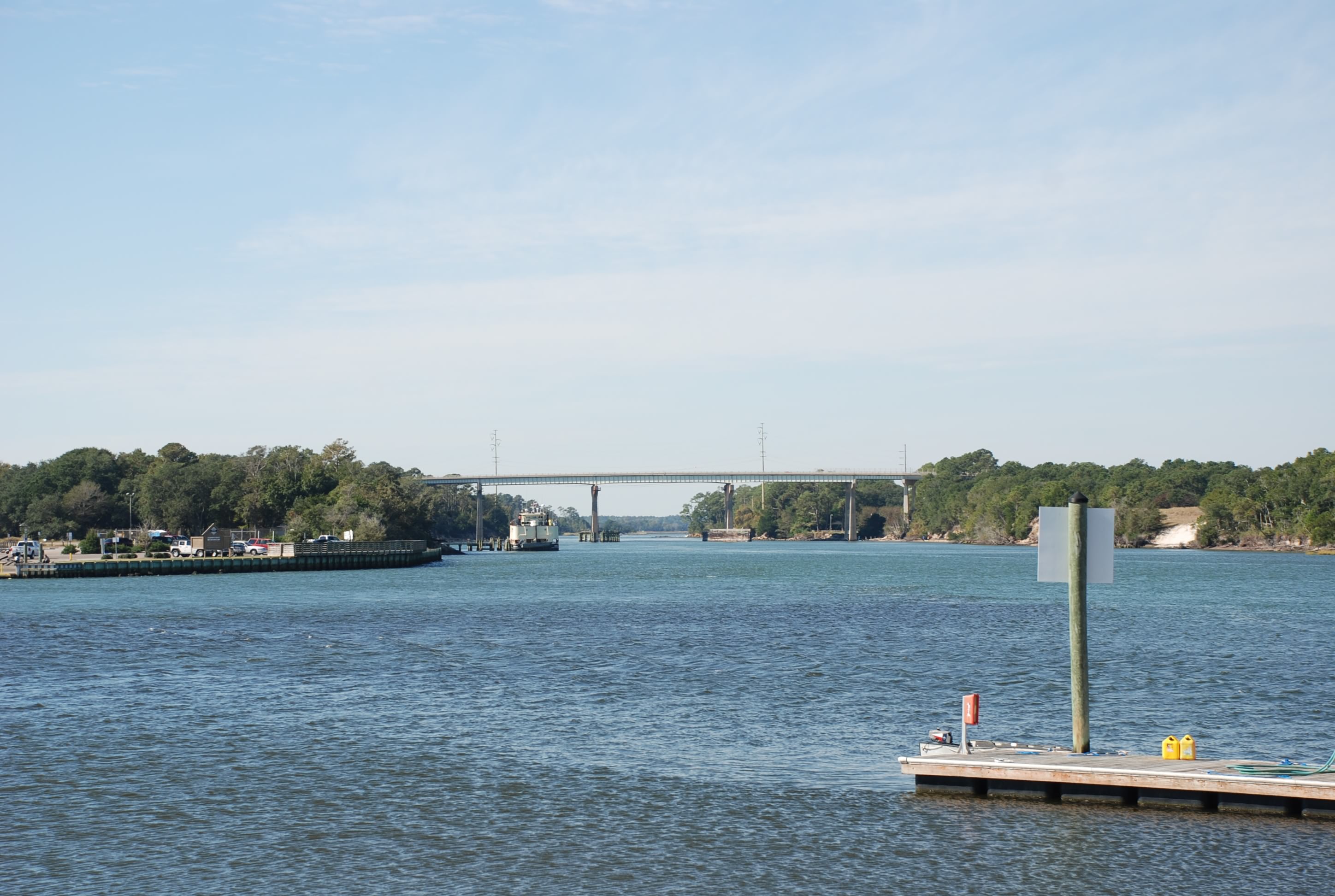
We left Barefoot Landing in Myrtle Beach on a flood tide. We traveled the Waccamaw River into Winyah Bay and then down to Minim Creek where we anchored for the night. Most of the trip was really remote, surrounded by nature sanctuary and preserves. The river was tree-lined with Spanish moss. We caught the flood tide until it went slack and fortunately the tide began the pull from Winyah Bay at that point in the river and we rode the ebb all the way to Georgetown. We had a positive tidal current the whole day!

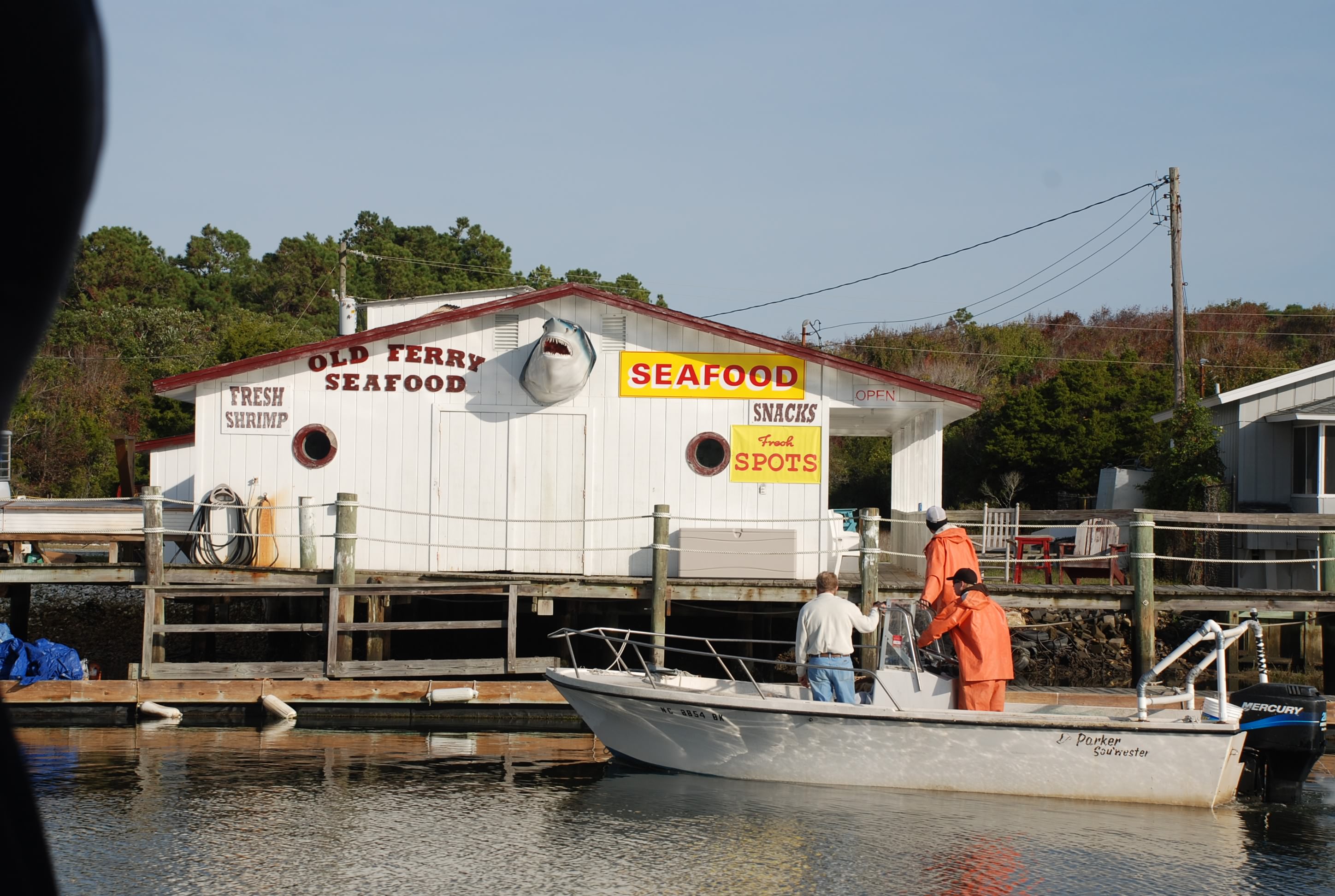
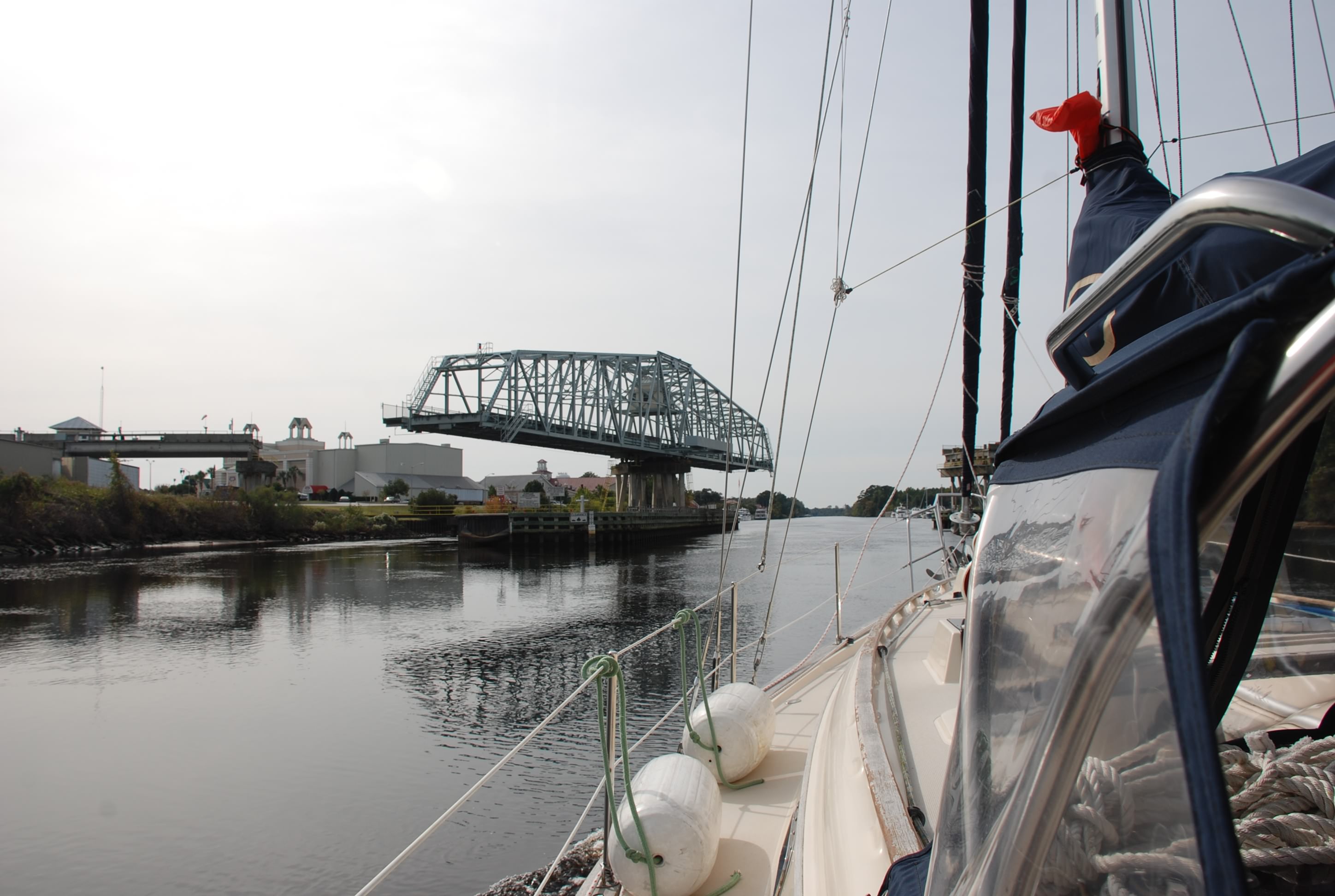
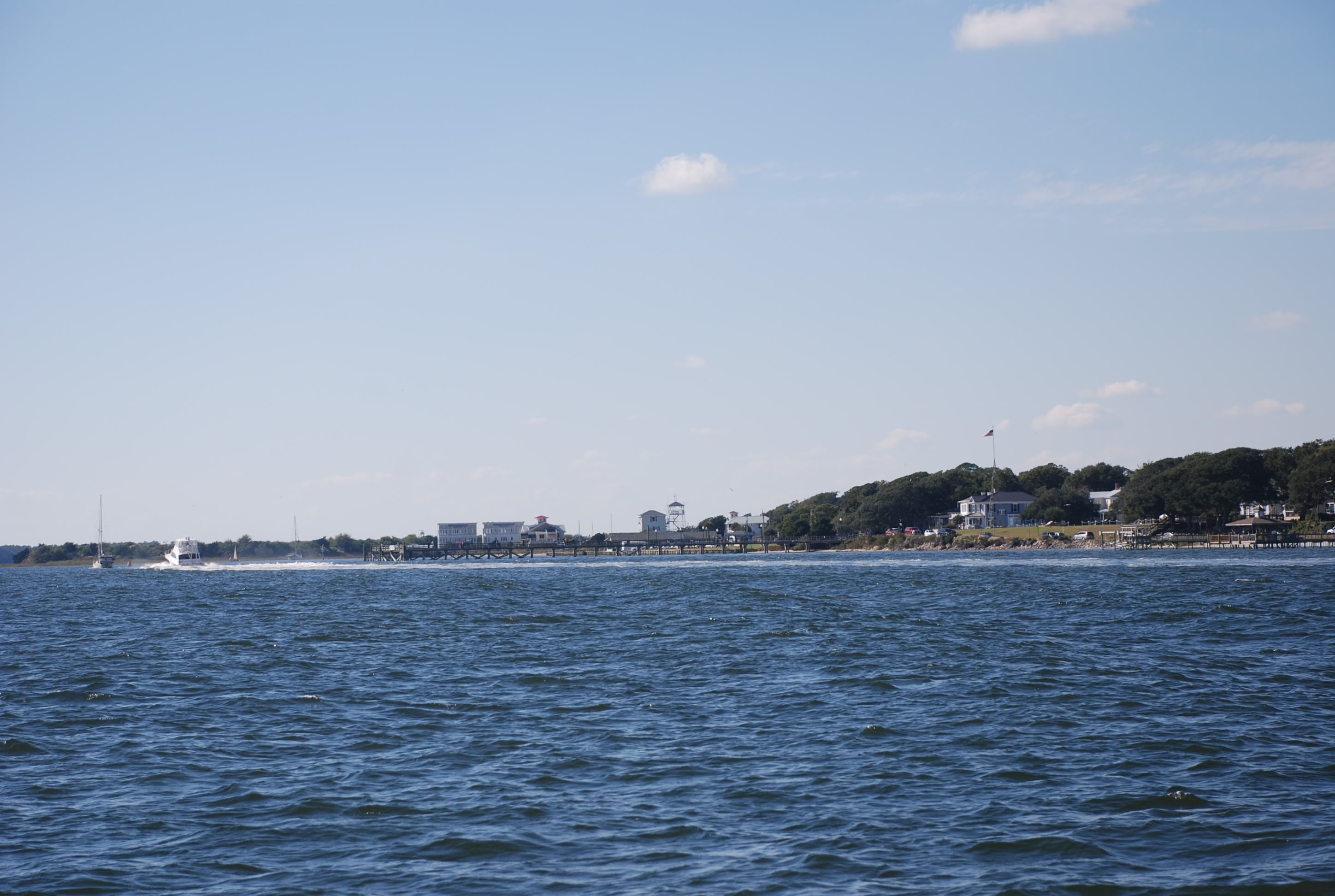
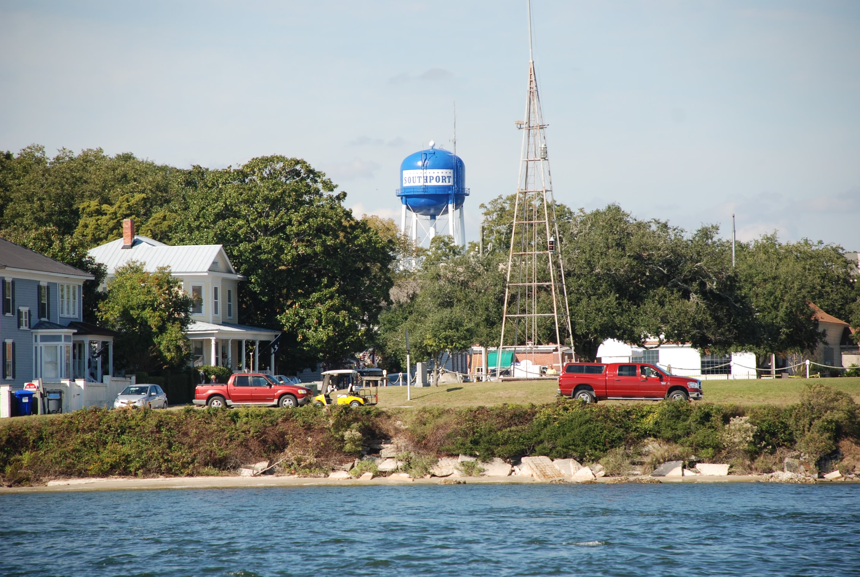
We hit the ICW entrance in Winyah bay at low tide just as the current started to turn, and as we approached the ICW we saw Paperbird, the people we met in Deale MD and anchored with in Mill Creek. Their boat draft is 1 inch less than ours and we followed them into the ICW entrance. This entrance is a well known trouble spot that is shoaled over pretty bad. Our notes said to stay left in the channel and after about 50 yards the water gets deeper. Paperbird made it through but we dragged the keel through the bottom, which fortunately was sand/mud, so we made it! From there we had plenty of water to our anchorage, which was very secluded and peaceful. We took the dinghy over to formally meet Greg and Lynn on Paperbird and exchanged passage planning notes and information. They were really nice folks and I am sure we will meet up with them again.
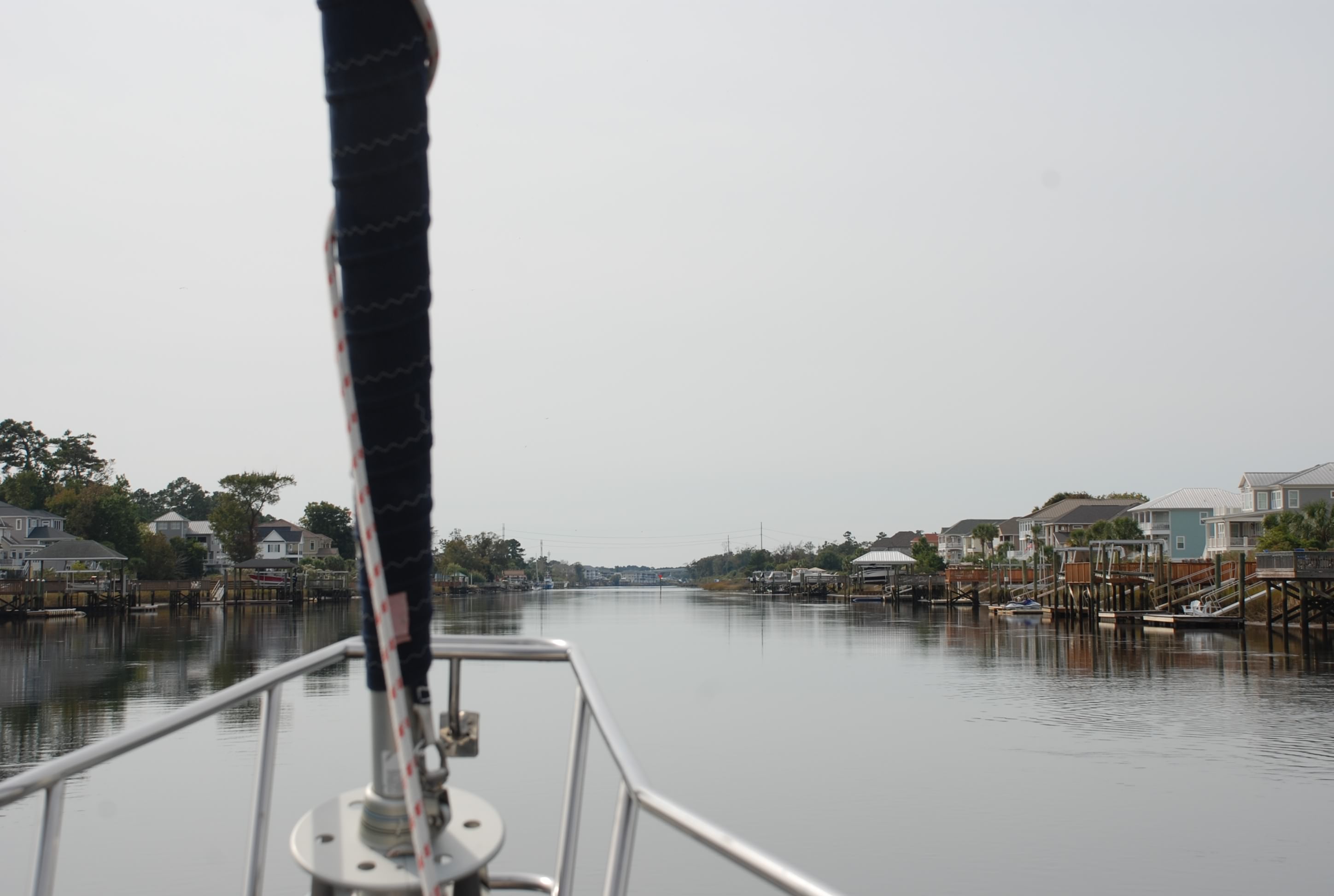
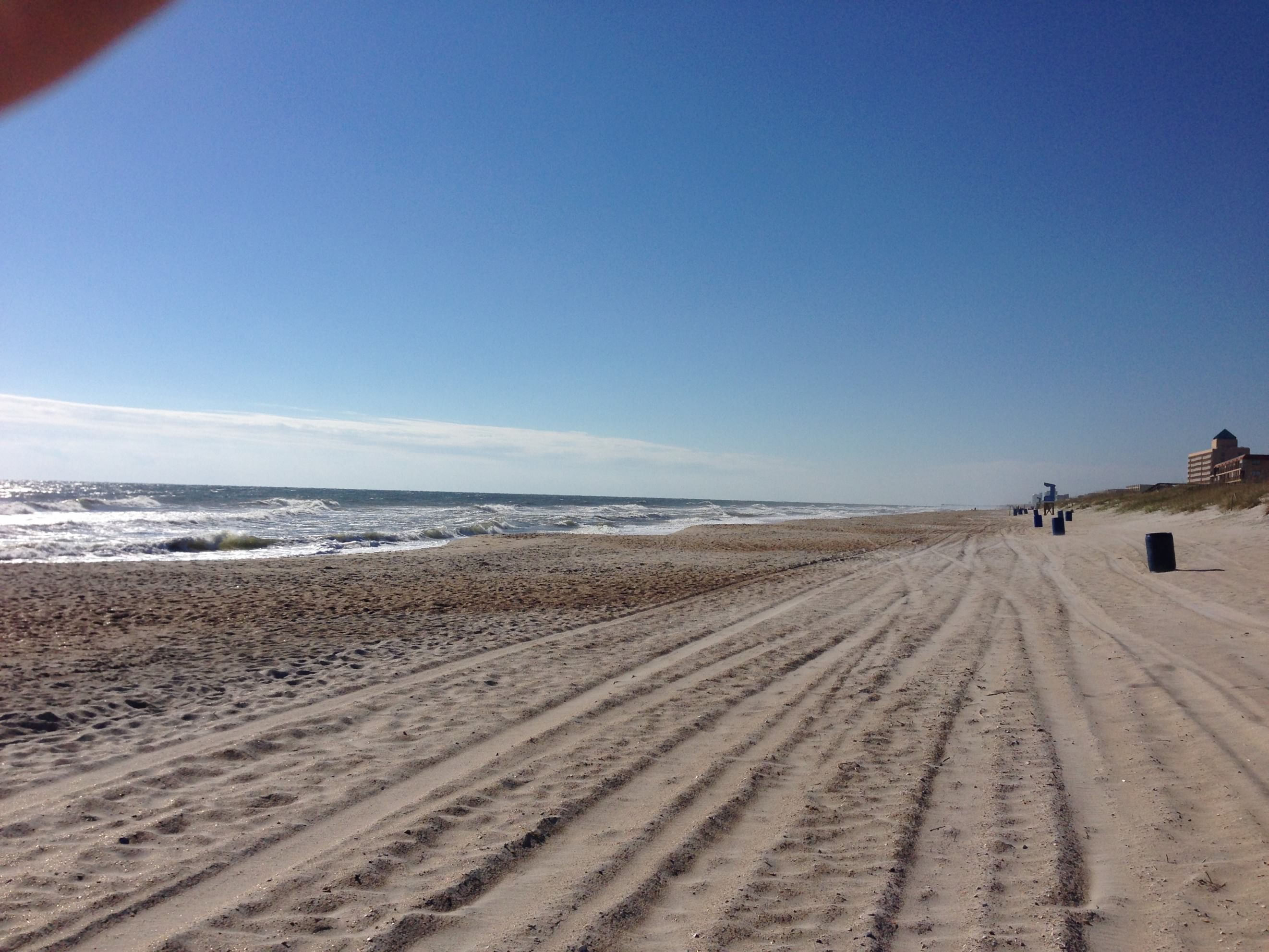
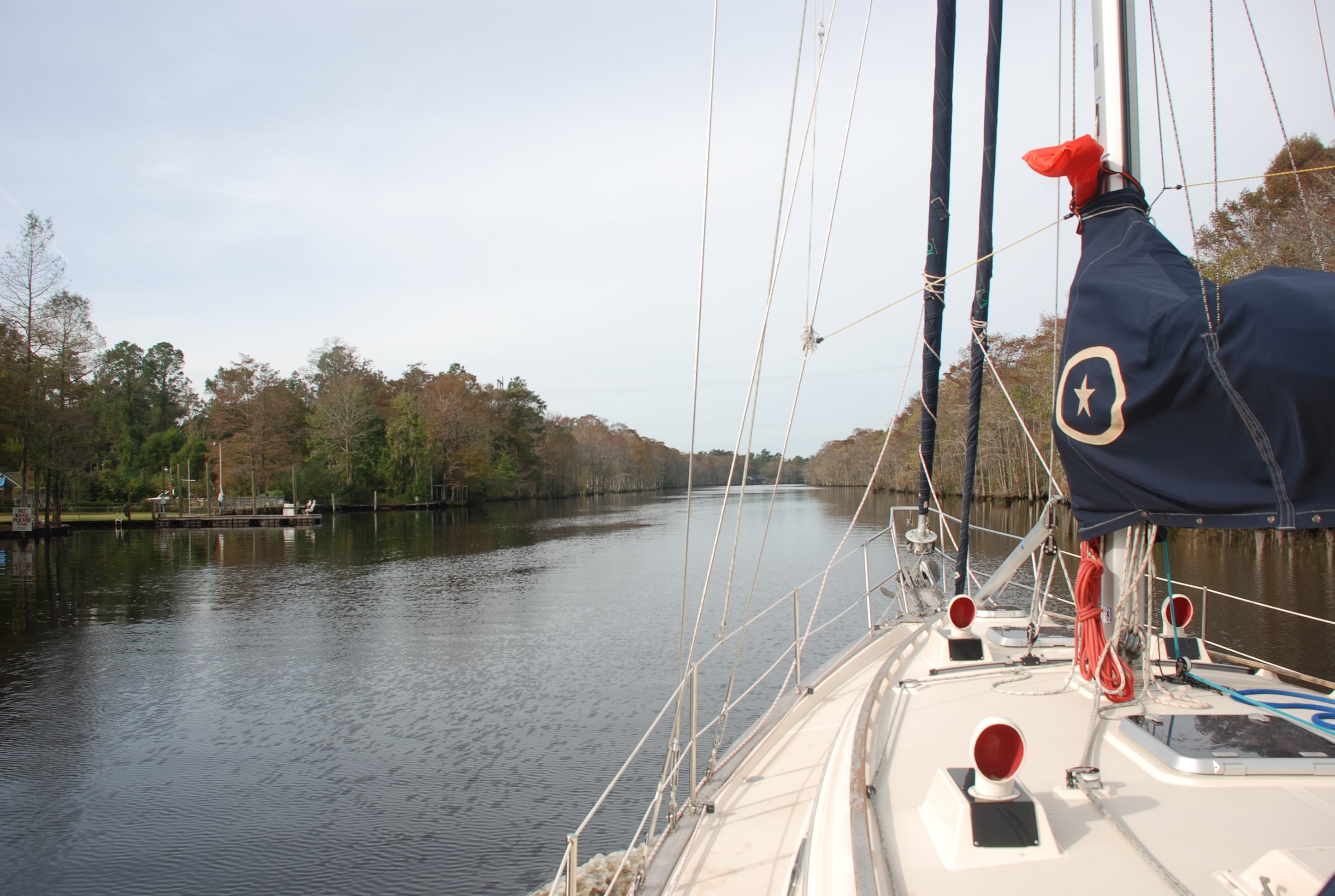
The Waccamaw River:
DSC_0554
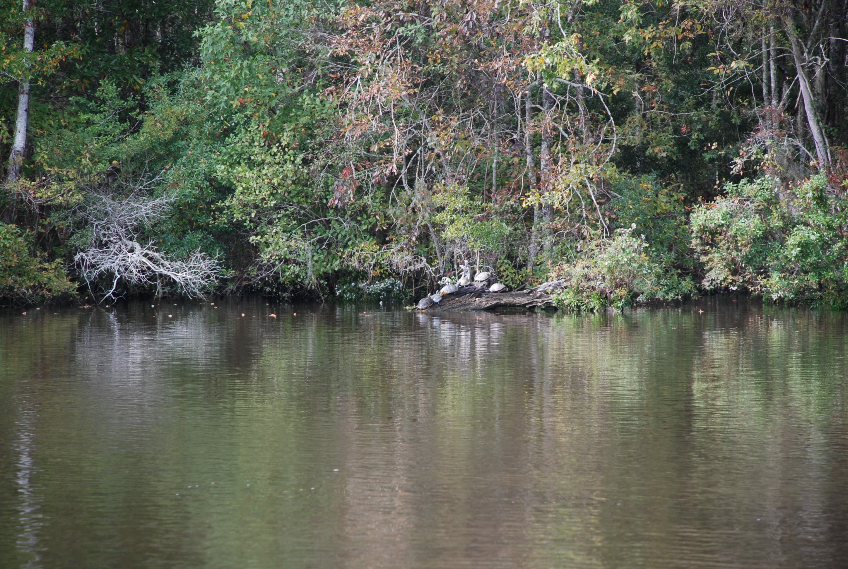
We saw lots of turtles like this sunning on logs…I like turtles!
DSC_0565
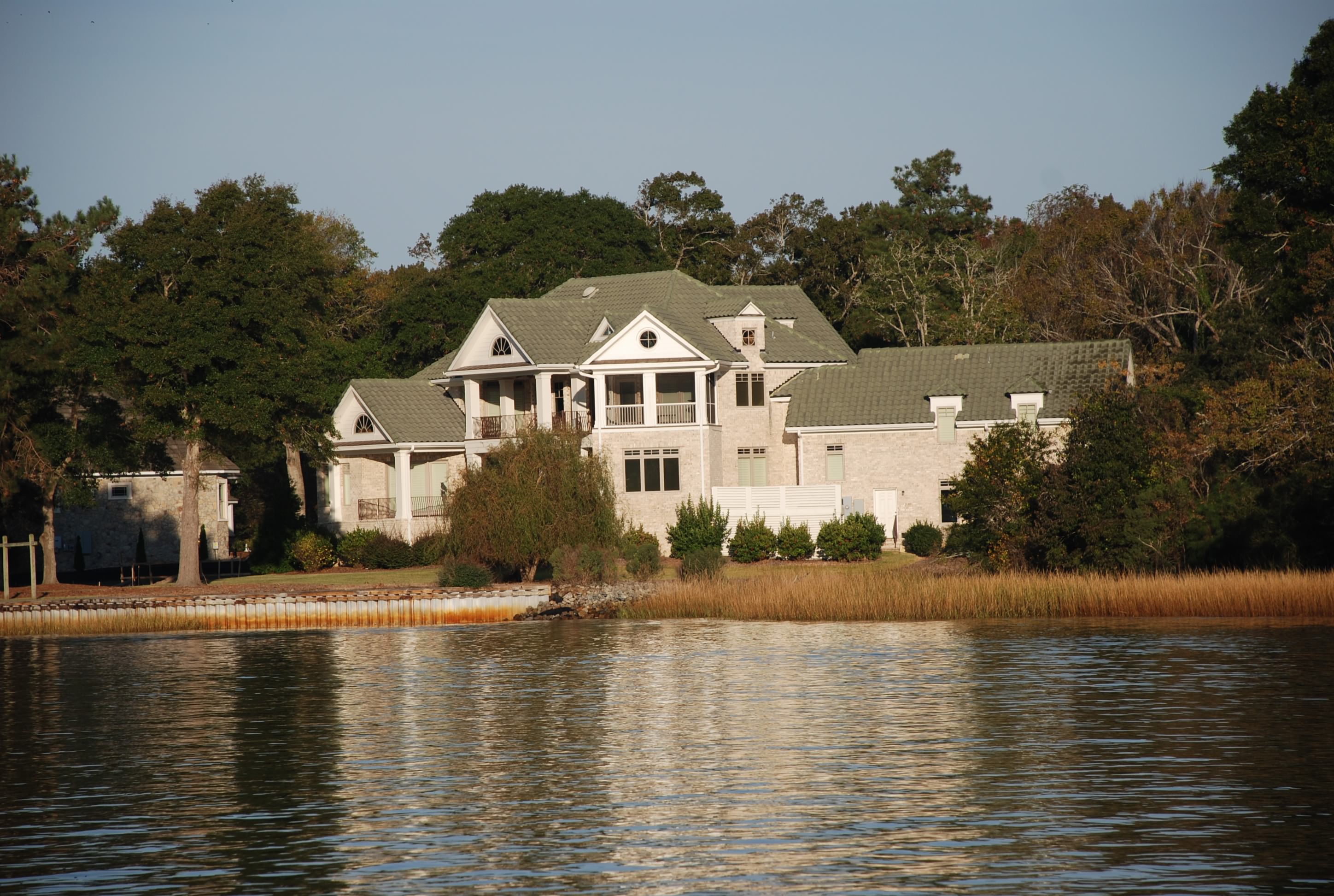
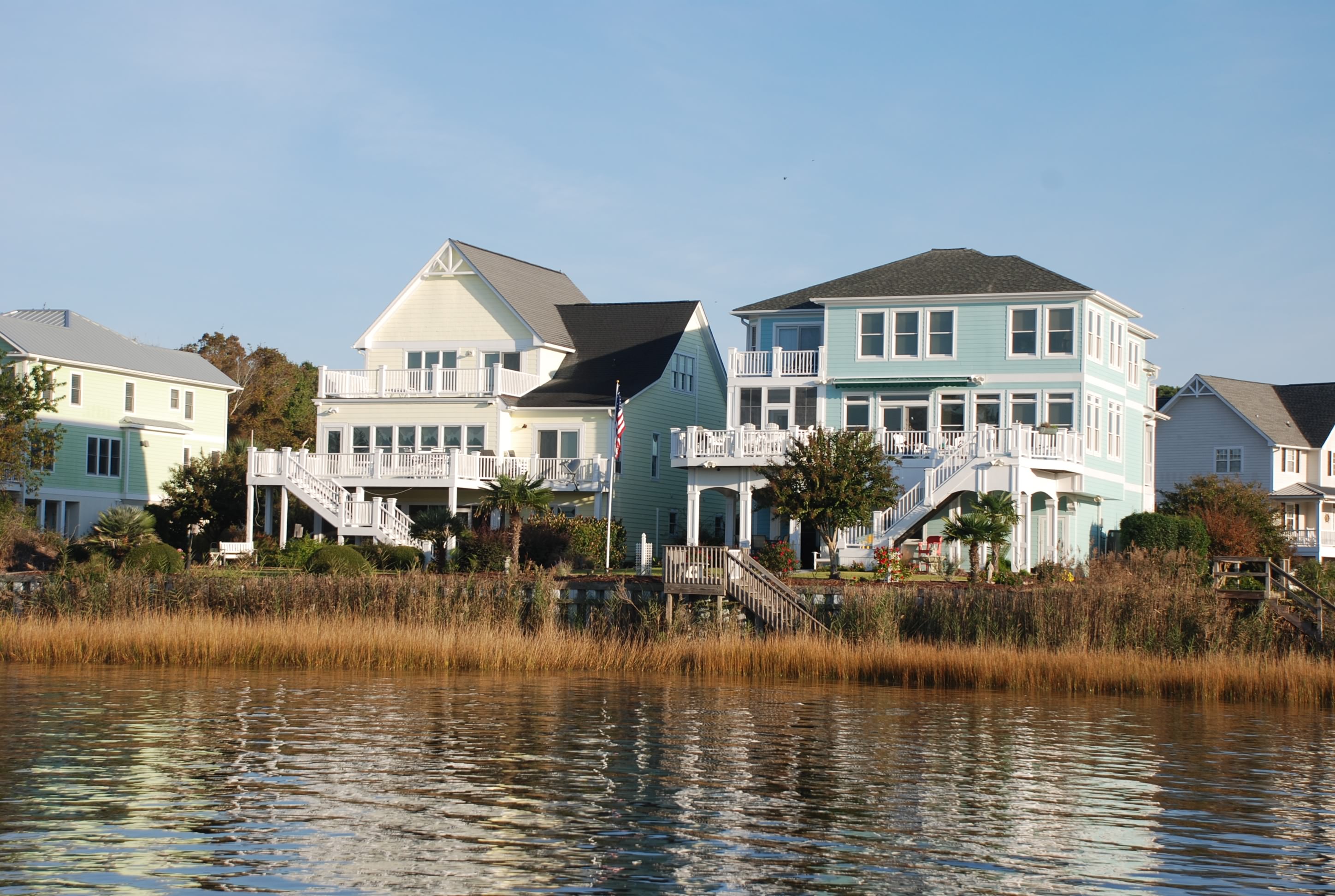
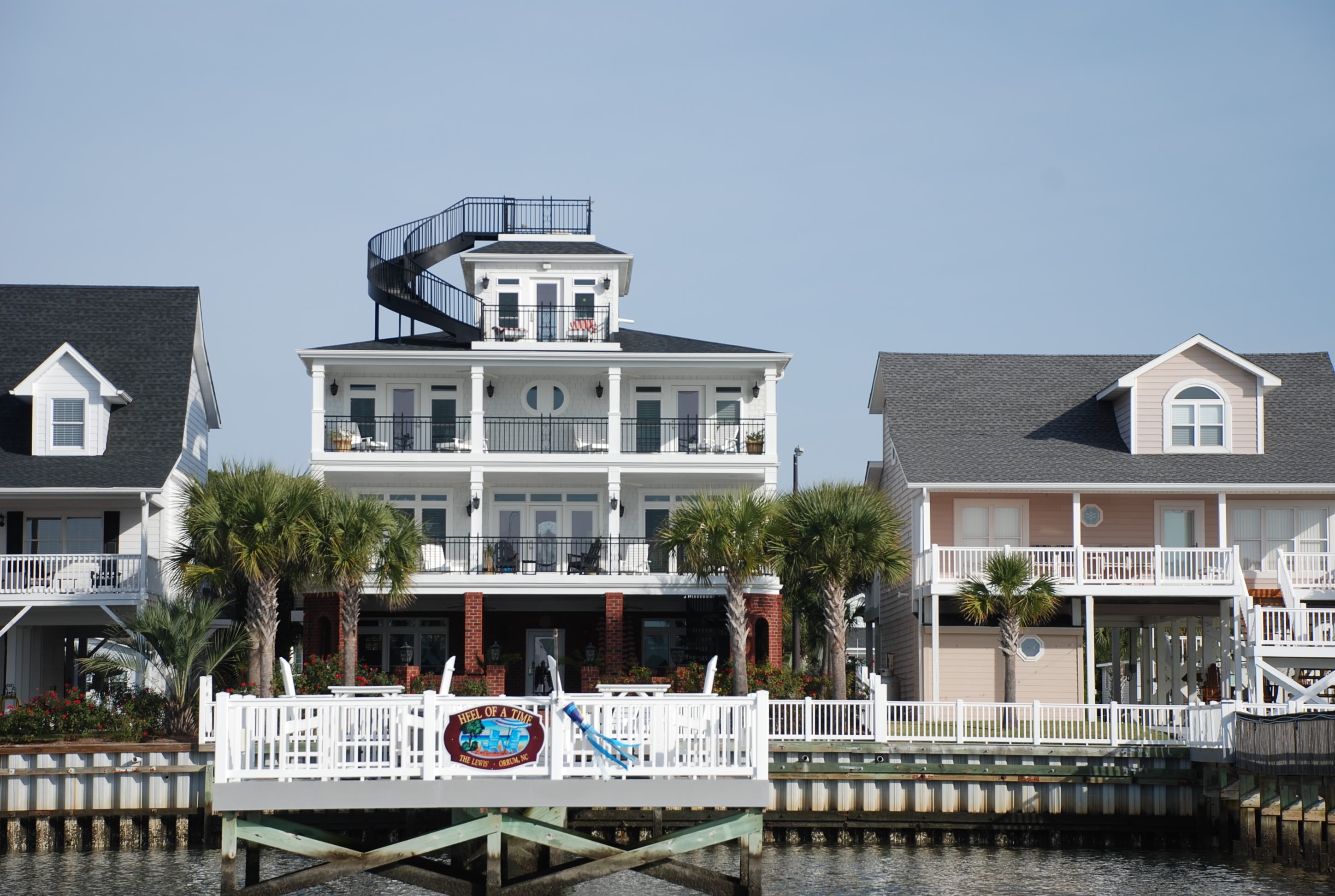
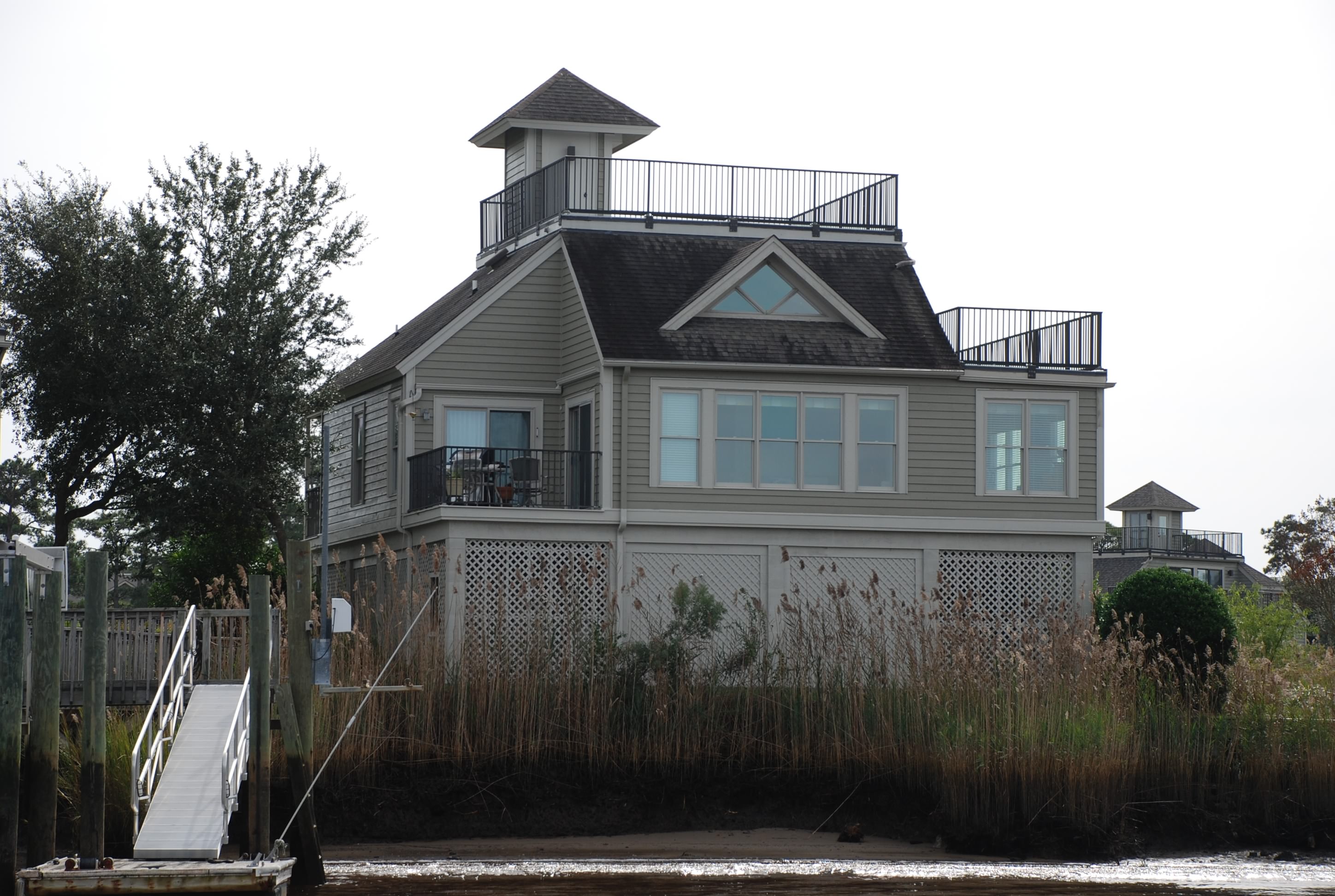
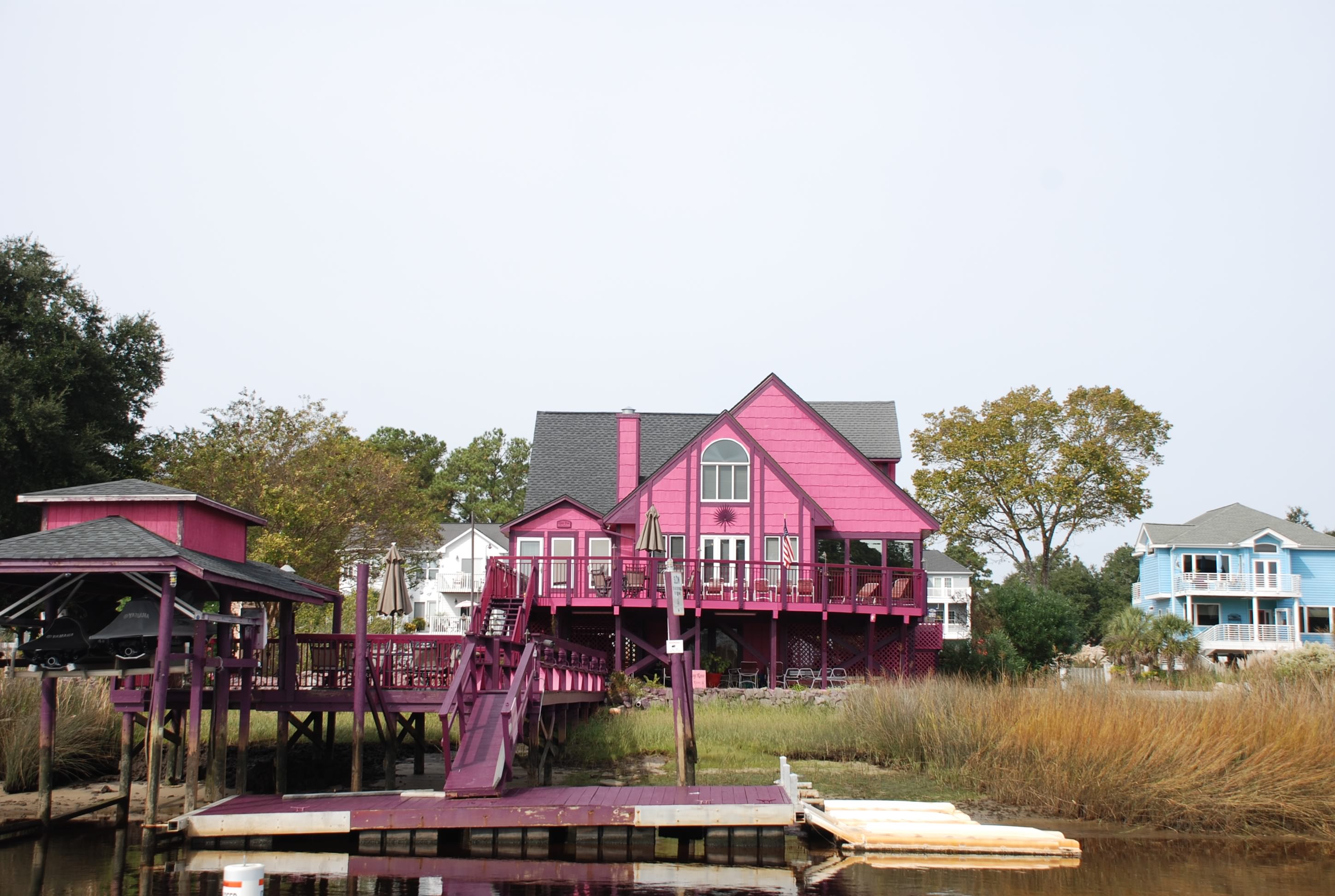
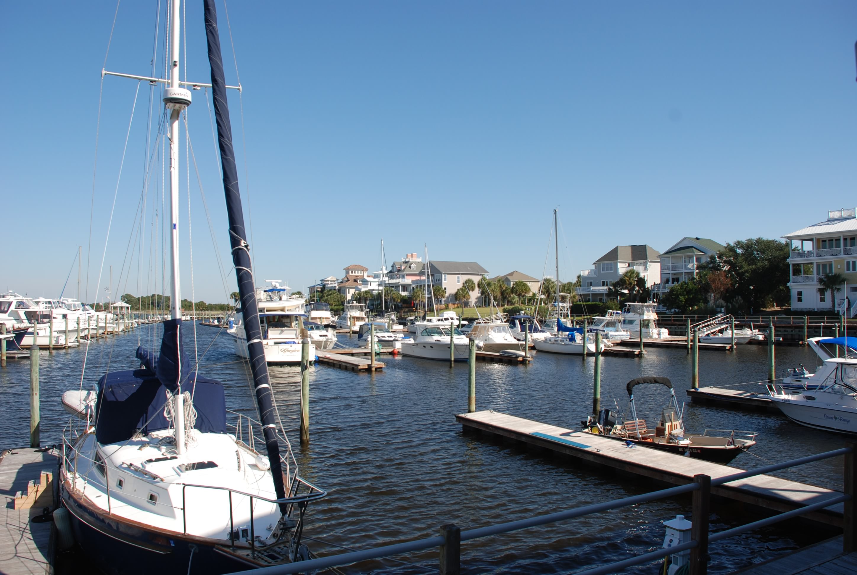
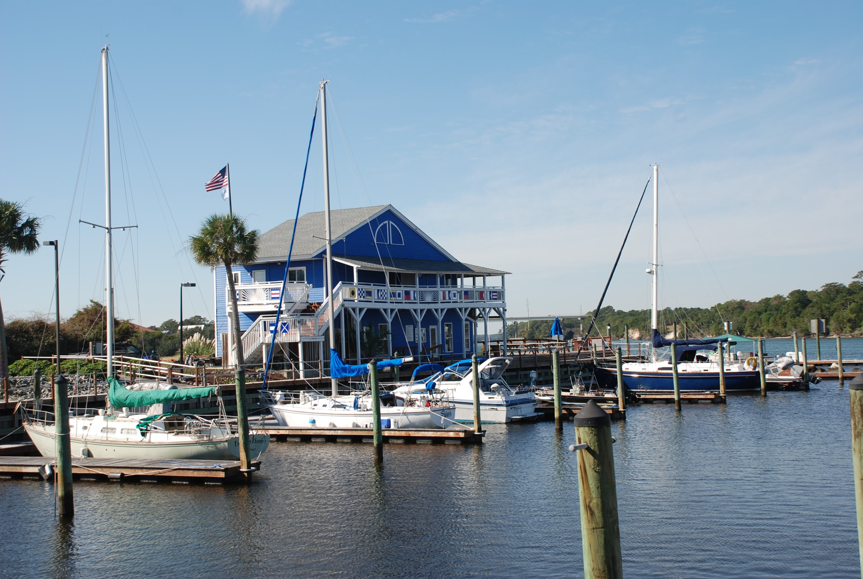
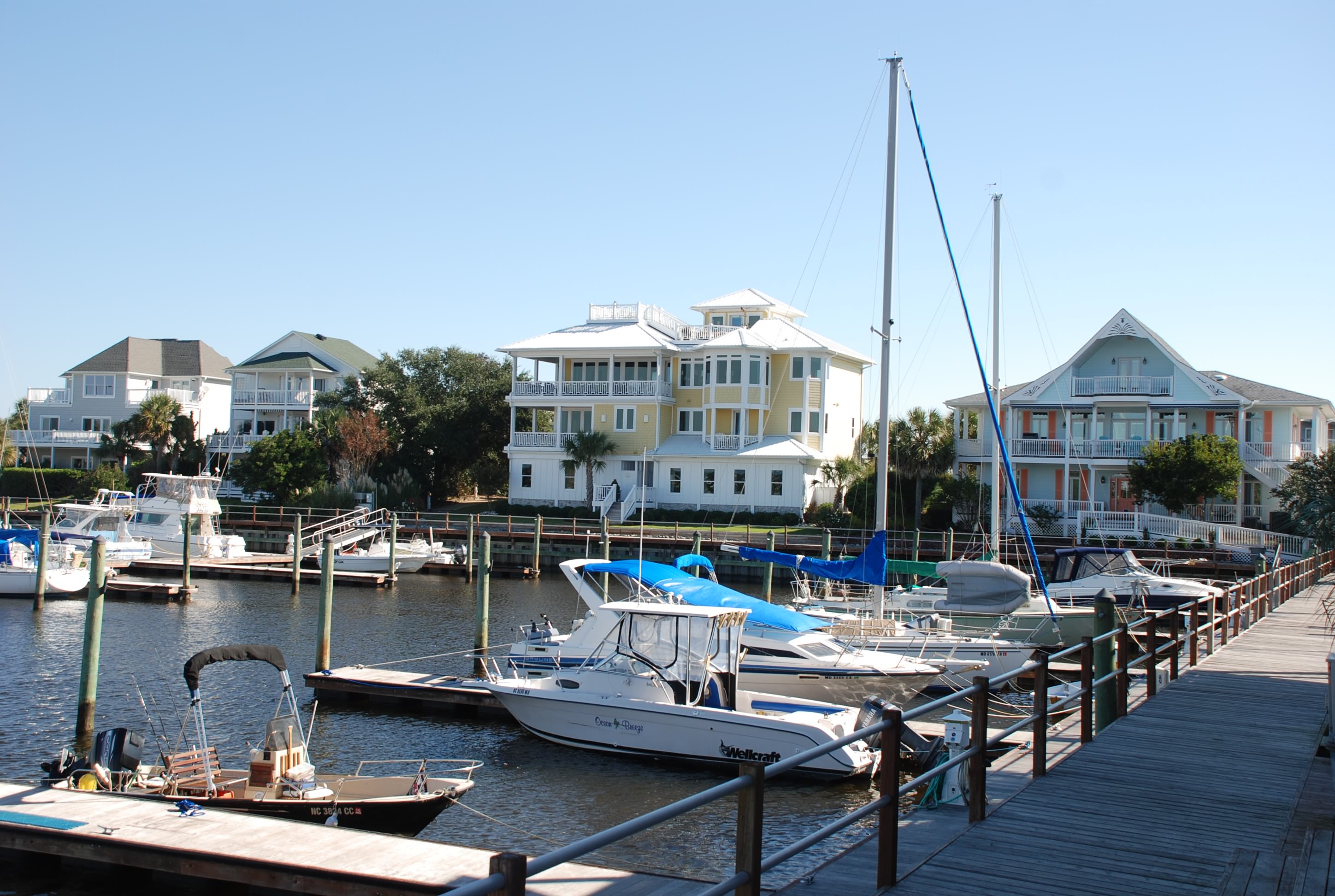
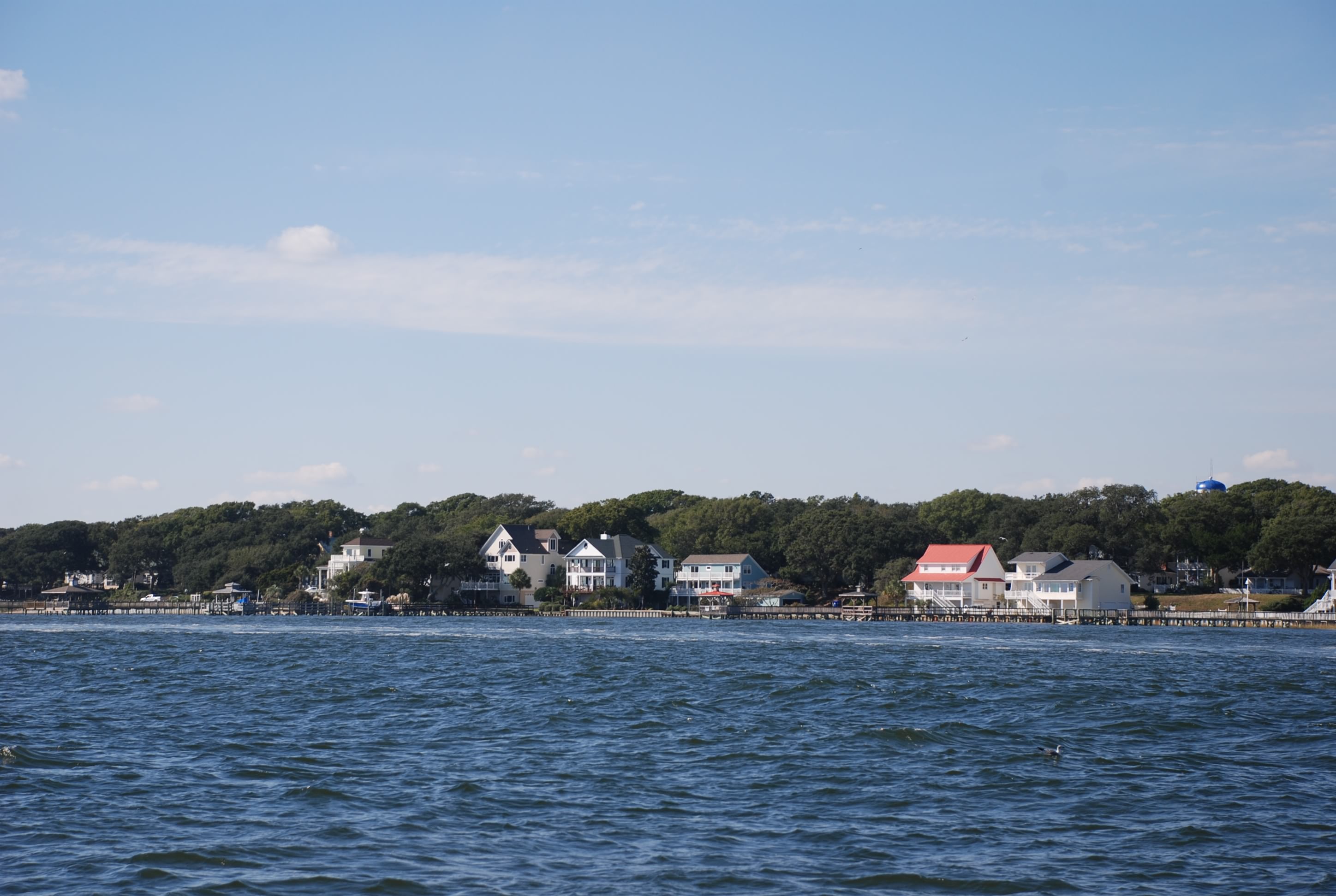
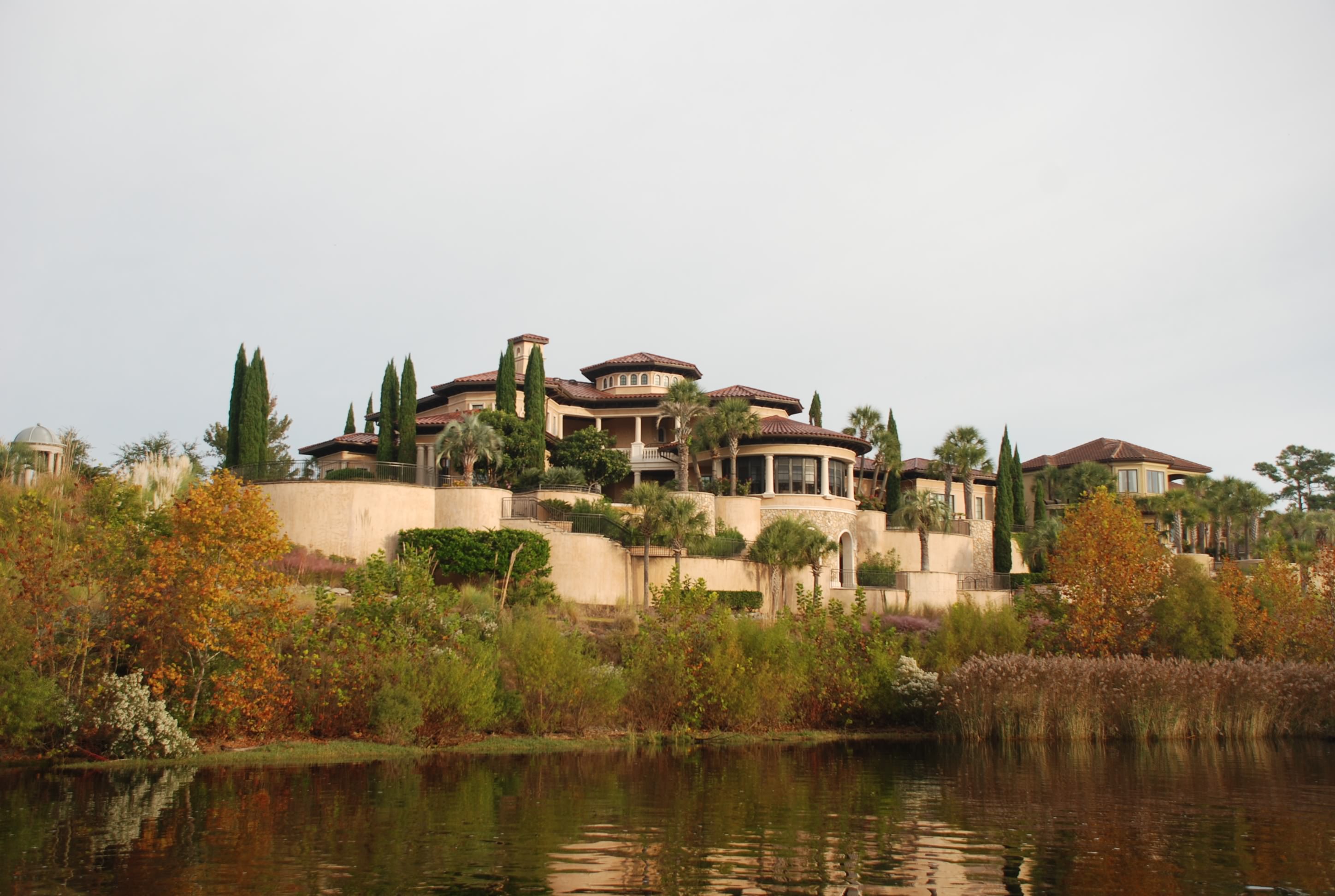
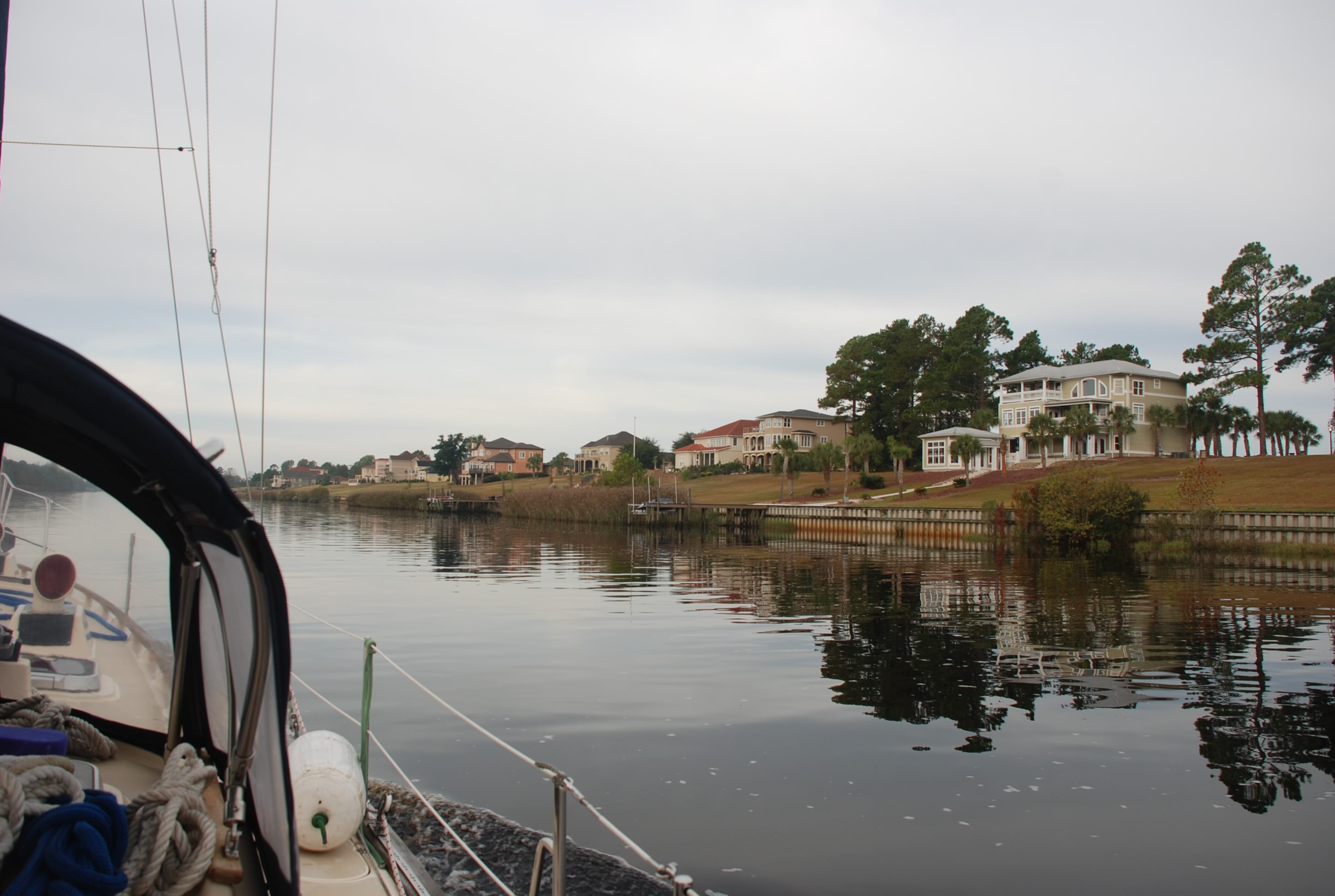
Another section of expensive homes along the waterway. I just don’t understand how this many people can afford places like this.
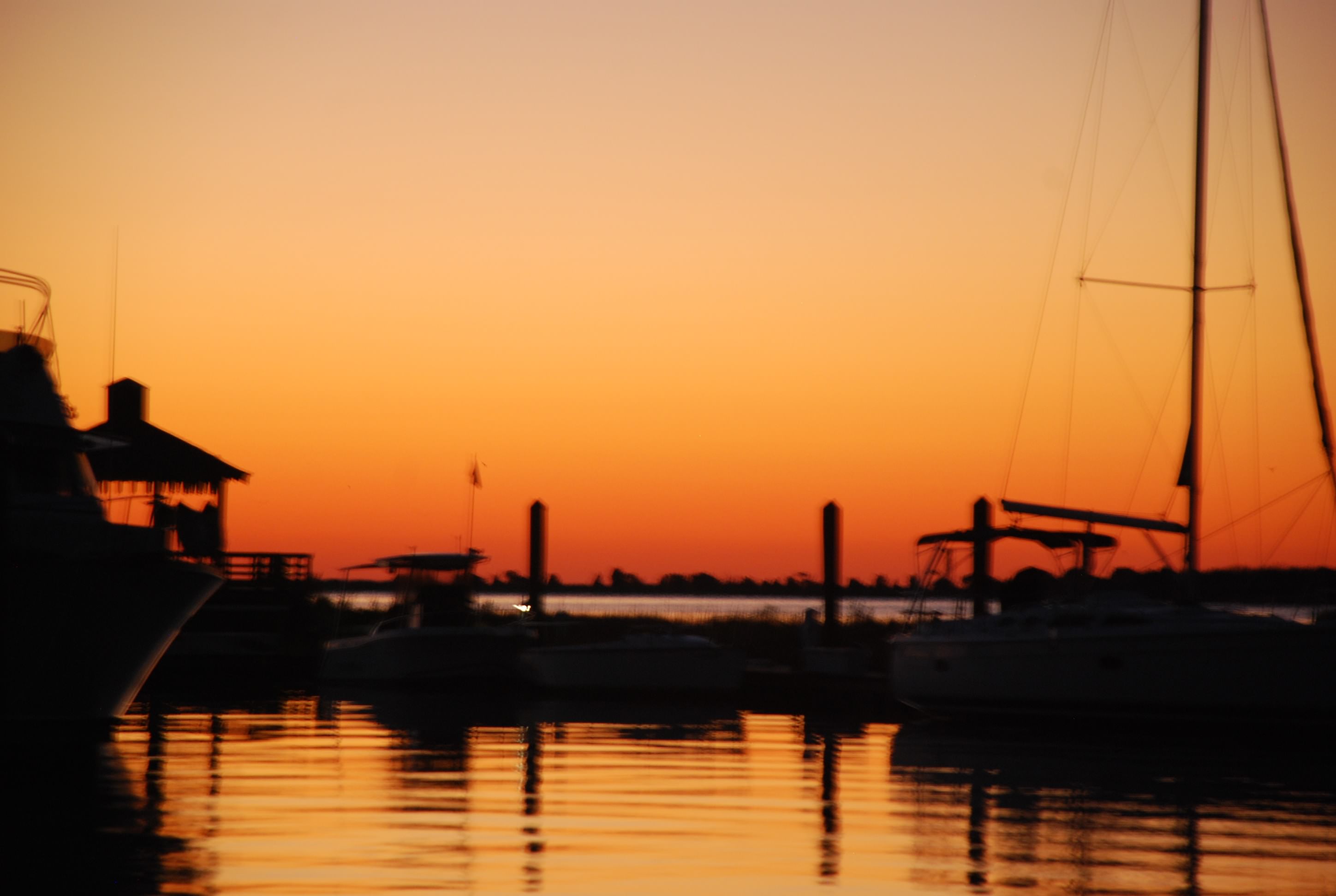
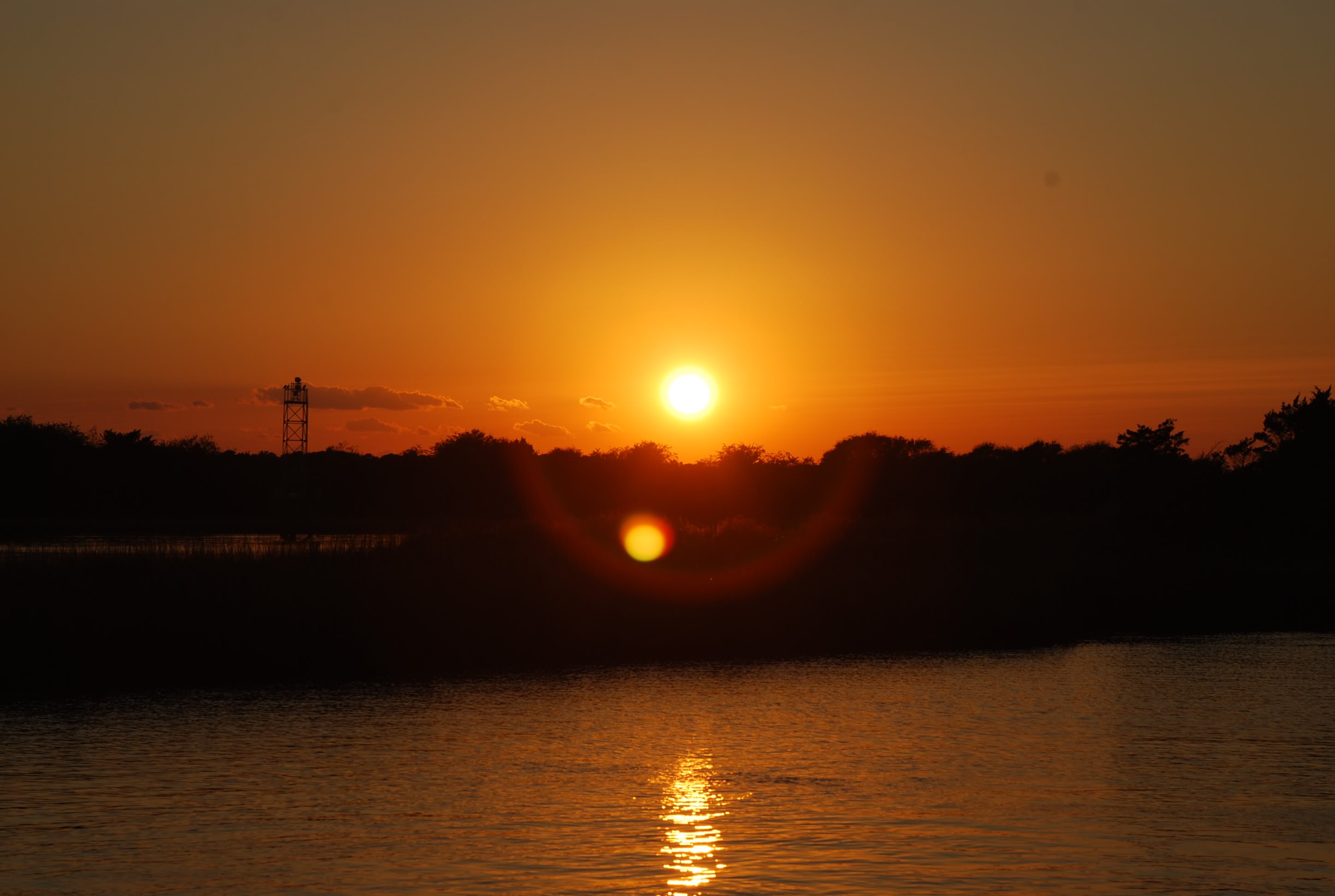
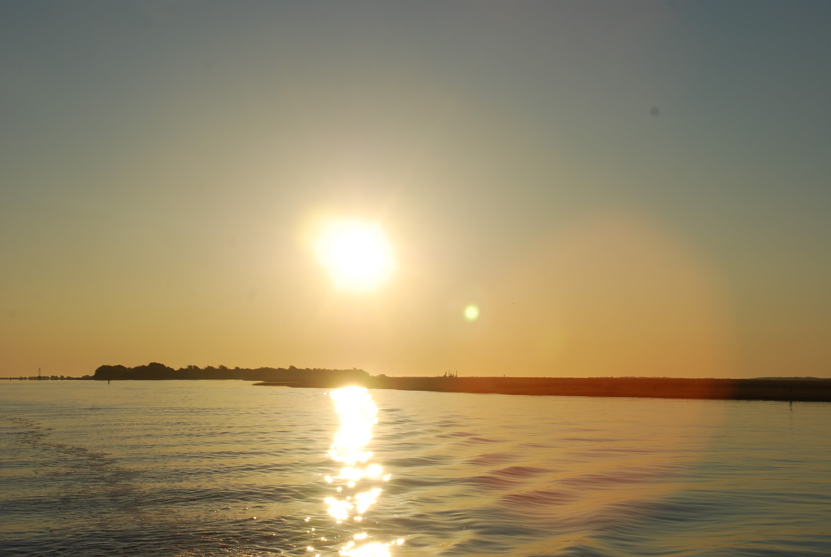
DSC_0525
DSC_0528
Minim Creek:
DSC_0346
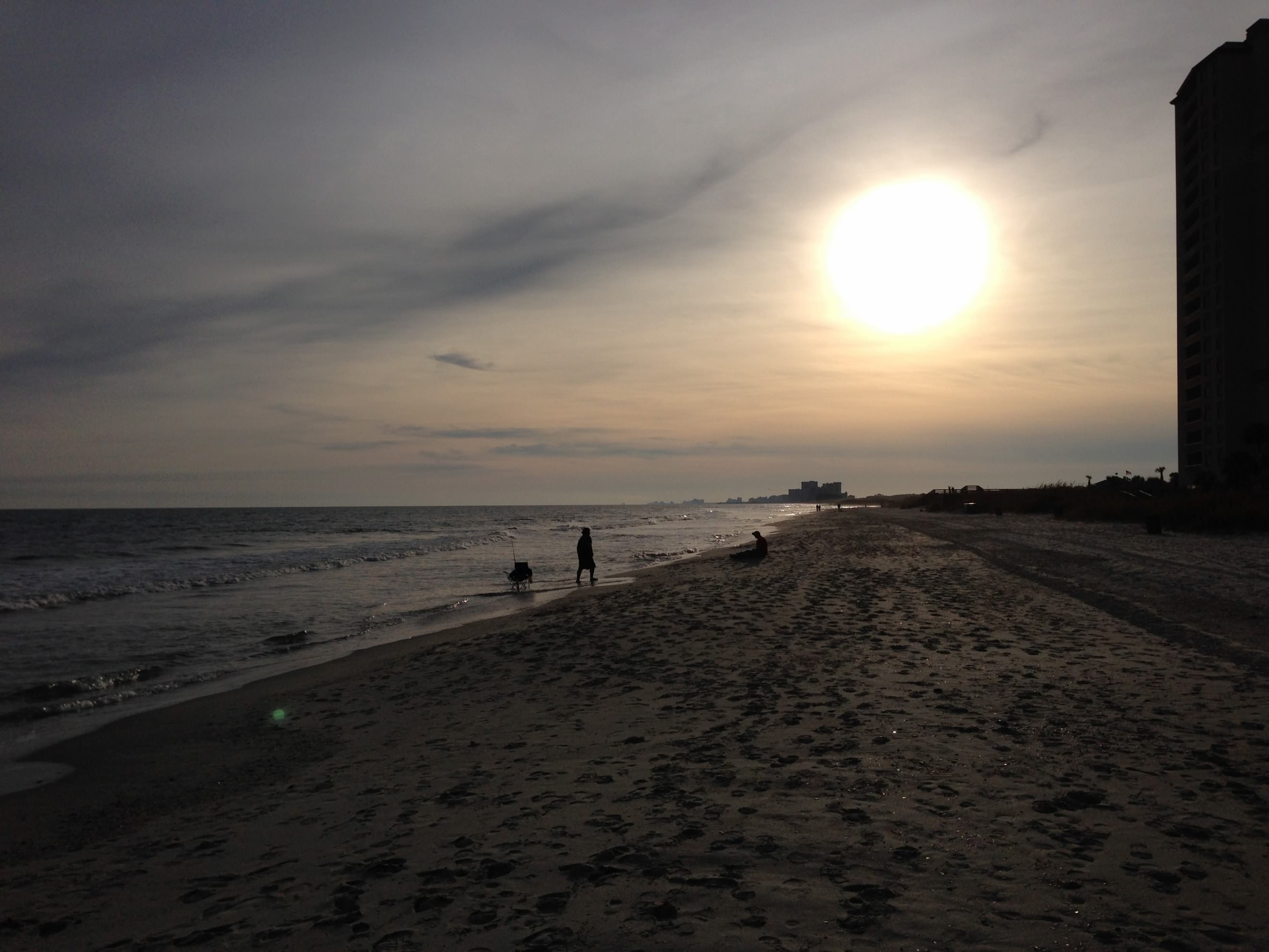
As the sun set the bugs came out and swarmed us so we went below and had another delicious dinner by Trish!

Alternator update: Worked flawlessly today.

We survived The Rock Pile!!!

11/4/14
North Myrtle Beach, SC
Position: 33 48.102N, 78 44.816W
Posted by Bill

We broke the spell that held us at Southport and continued on today. We really like Southport and will certainly be back, probably after we are done cruising around on our boat. It was tough to leave for some reason, but we shoved off early at 6:50 AM. Now that the time has changed we need to get going earlier to make our distances by dark. Sunrise today (see Jeff Felkey, we do get up early):
DSC_0342
DSC_0346

One advantage of waiting in Southport for an extra day was that all of the boats in our pack heading south got ahead of us. We had a pleasant voyage without the pack of 20 sailboats at the bridges, or 15 power boats blasting by and throwing up a wake. The marine radio was very quiet for once. Good change.

We went by some ocean inlets today at Lockwoods Folley and the Little River and we had to watch for shoaling and major current action. It was pretty interesting, especially the currents. You would be traveling at 4.7 knots and suddenly going 9.1, only to be back to 5 in 15 minutes, and all of the sudden a cross current would grab the boat and pull it sideways. No lazy autopilot passages!

It was amazing to us to see the number of houses along the ICW as well as the barrier islands and beaches, and the size and expense of them. It was pretty much non-stop the entire 39 nautical miles. There is a lot of money along the water. Where do they all get the money??
DSC_0360
DSC_0361
DSC_0388
DSC_0441
DSC_0458
DSC_0484

Myrtle Beach Yacht Club:
DSC_0445

Some interesting business locations along the way:
DSC_0375
DSC_0399

And a derelict boat that was sinking…nobody cared…
DSC_0385

The biggest navigation challenge today was traversing The Rock Pile. It is a section of the ICW north of North Myrtle Beach where the Army Core of Engineers blasted the rock bed to cut the ICW channel. To save money, they blasted the middle of the channel but not the edges. Any tide above low tide and you cannot see the rock edges and many boats have wandered outside of the channel into doom and peril!! We arrived at low tide and stayed in the middle of the channel and survived the Rock Pile!!
DSC_0492
DSC_0501

As we went through the Barefoot Landing Swing Bridge, we breathed a sigh of relief and pulled into our marina.
DSC_0519
We walked over the bridge to Hamburger Joes, one of our favorite places to eat when vacationing here. We walked the beach for a bit and then to dinner at Joes (a different place but next to Hamburger Joes). We ate at the bar and struck up a conversation with people sitting there. One lady offered to give us a ride back to our marina and we accepted! What a kind gesture. We followed it by smacking her in the head, taking her purse and her SUV. We are half way to Mexico….just kidding. People have been really nice in the Carolinas.

The beach:
myrtle beach 2
myrtle beach 1

Update on the alternator. On our passage to Southport the alternator performed flawlessly. Today, not so much. It never kicked in until we were 4 hours underway and then worked like a champ. I don’t know…

Damn it’s cold!

11/2/14
Southport NC
Posted by Bill

Yesterday the weather came in with a vengeance…hail, pouring rain, and wind all day. We didn’t let that get us down and we walked 2+ miles going to lunch in town, and also getting a document printed. By the time we made it back to the boat our pants and shoes were completely soaked. Not the better side of living on a boat.

Today, we had sunny skies but highs only in the low 50s and lots of wind. We walked to breakfast in town and then along the waterfront. We ran into this guy with a OSU hat on and struck up a conversation with him and his wife. They were from Dublin, Ohio and moved here 2 years ago. They told us about their cool subdivision and how much they loved living here. The subdivision was a little over a mile from our marina and the waterfront downtown, and it was composed of new build construction cottages, and we decided to go check it out. It turned out to be really nice…so nice we are going to stay an extra day here to do more due diligence.

The marina holds a session every day at 6PM that talks about the weather for the next 3-4 days, passage planning for ocean passages from the Cape Fear River, and also conditions in the ICW going south to Savannah GA. The ICW talk scared the crap out of us. There are many sections that are so shallow that they can only be attempted during high tide. That’s going to put a difficult spin on passage planning. One couple in the briefing said that they used the ICW in the spring and it was so badly shoaled in some areas, that they are going to do all ocean passages and never use the ICW again…wow!

After the briefing we walked to dinner and froze our asses off. The locals told us that this is as cold as it ever gets during the year and everyone is complaining that it has hit so soon. Good news is that it will be in the 70s again in a few days. Glad we have heat on the boat.

Some pictures of the waterfront in Southport:
DSC_0321
DSC_0322
DSC_0323
DSC_0324
DSC_0325

And the marina:
DSC_0328

Not quite sunset:
DSC_0329

Riding out the next wave of weather

10/31/14
Southport NC, ICW
Position: 33 55.054N, 78 01.685W
Posted by Bill

We only had a short hop of 12.5 nautical miles to go today and we wanted to time the tides for our journey, so we walked to breakfast and walked the beach for a few hours before we left. Carolina Beach was the first place I experienced the ocean as a kid and I like like beach here a lot, so this was fun even though it was only 65 degrees and windy as hell. We stopped and bought some shrimp where the boats come in with their catch and then back to the boat. I had more time to take a few pictures of the marina here:
DSC_0258
DSC_0262
Some really cool houses along the marina:
DSC_0259
Looking south into Carolina Beach downtown:
DSC_0260
Island Bound at the dock:
DSC_0263
The beach:
Carolina Beach

We motored out of the marina and into Snow’s Cut which leads into the Cape Fear River. The tide was coming in, but the current in Snow’s cut runs opposite of the Cape Fear River, and we shot off like a rocket (in sailboat perspective) going 9.2 knots. Once we hit the river we had opposing tide and a 20 knot wind behind us. This slowed us to 4.8 knots and even 3.9 at one point, and the winds created a healthy chop. It was a beautiful day.
Snow’s Cut:
DSC_0261
Cape Fear River:
DSC_0275

We visited Southport many years ago while on a business trip and really fell in love with the town. It is steeped in history and has the charm of an old southern sea port. The historic homes are well kept and there are lots of restaurants and shops. I have been looking forward to spending a few days here since we left our dock in Lake Erie. The marina here is really nice too. It was pretty packed and we saw lots of boats that we have been traveling with since we left Portsmouth. There are 2 weather fronts moving through in the next couple of days, with winds over 40 knots and temperatures falling into the 30’s at night. Glad to be tied to a dock and run the heater.
Coming in to Southport:
DSC_0285
DSC_0286
DSC_0294
Pictures from our dock and of the marina:
DSC_0302
DSC_0304

We walked into town and had an outstanding dinner, watching the trick-or-treaters along the way. It reminded us of our grandkids and made us miss them even more. One lady said hello to us as she was waiting for the next group of kids, and asked us if we were trick-or-treating. We said “we could be” and she gave us our pick of candy…lol. It was a nice evening and the temperature was in the low 60’s…love that!

Today’s sunset at the marina:
DSC_0311